2nd October 2016 - The Howgills
Walk Details
Distance walked: 14.3 miles
Total ascent: 3134 ft
OS map used: OL19 - Howgill Fells & Upper Eden Valley
Time taken: 8 hrs
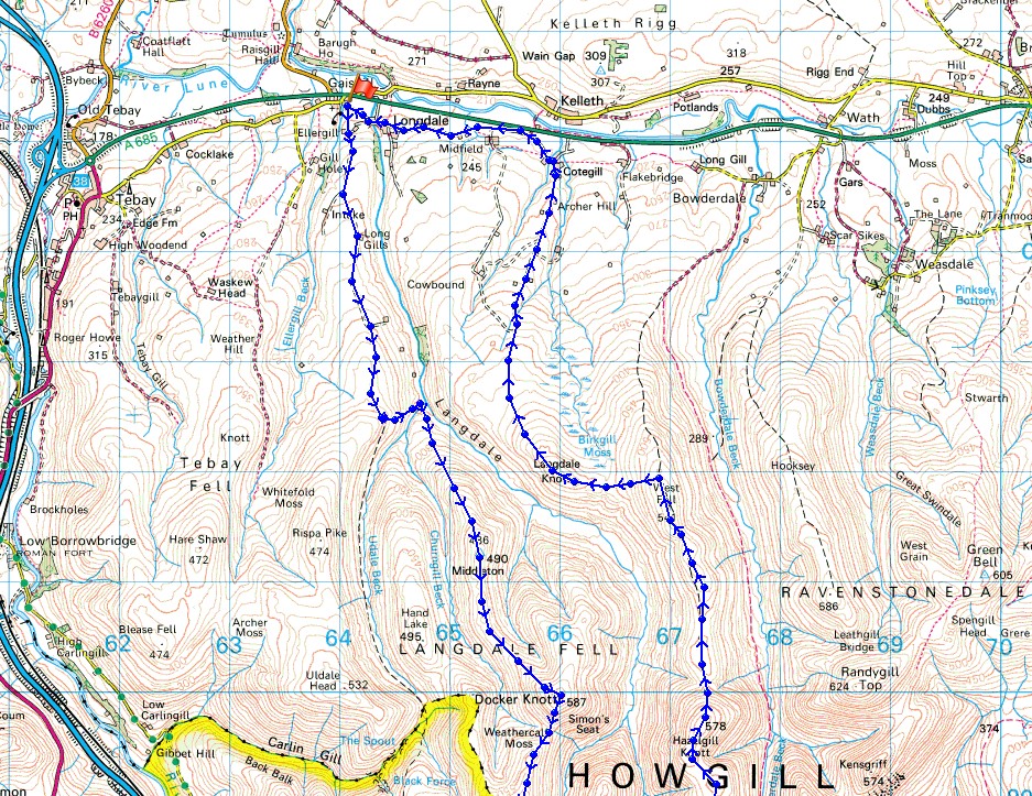
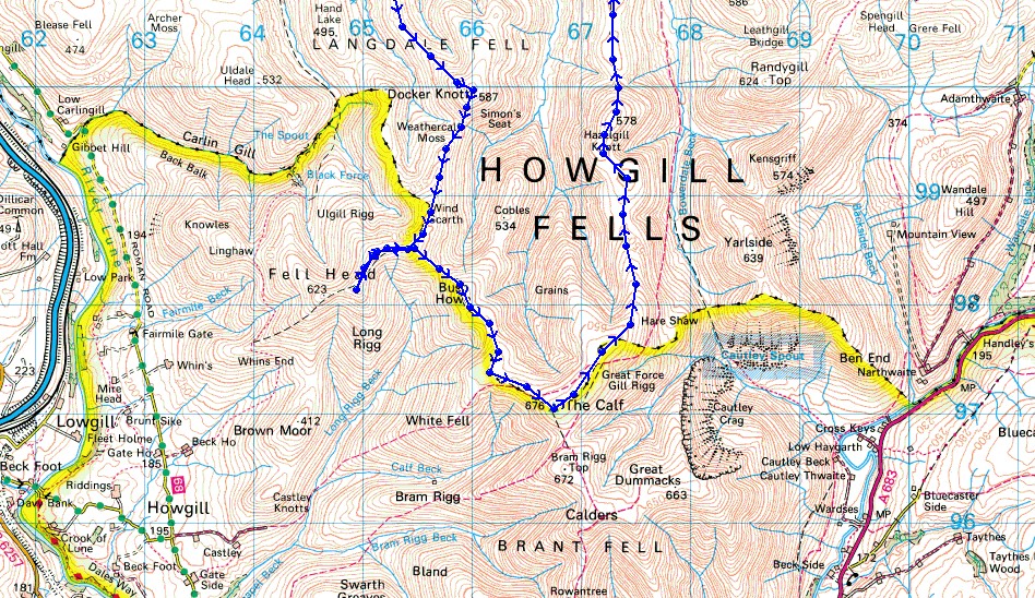
Route description: Gaisgill-Ellergill-Peatmire Hill-Elliot Howe-Uldale End-Uldale Beck-Langdale-Middledale End-Middleton-Simon's Seat-Breaks Head-Fell Head-Breaks Head-Bush Howe-The Calf-Hazelgill Knott-West Fell-Langdale Knott-Archer Hill-Cotegill-Longdale-Gaisgill
With the nights drawing in and the clocks going back in a few weeks time this might be the last big walk that I do this year. If so, then I finished in style with this route that I did in the Howgills. I'm a regular visitor to this group of fells but it's been several years since I was last on the western ridges of the northern Howgills. As well as wanting to reacquaint myself with them I was also keen to tread some new ground. There are still a few tops in the Howgills that I've not been to and the highest of those was Simon's Seat, today I at last paid it a visit. The weather was perfect for spending the day on the fells, warm sunny spells, great visibility and fairly light winds even on the tops, though the breeze did have a chill to it. It wasn't all plain sailing today though, on my outbound route I found Uldale Beck very difficult to cross and if the weather had been wetter recently I might not have gotten across it at all without having to take my boots off. I won't be going that way again.
From where I parked in the hamlet of Gaisgill I walked up to Ellergill Farm, through the farmyard and then onto a track up access land. This took me uphill past the ruins of Long Gills, past the farm of Low Shaw, then onto Elliot Howe and Uldale End. When the wall to my left finally turned and headed down to the valley below I went with it. It was a steep descent and then I had a hard time crossing Uldale Beck but eventually I got onto the ridge of Middleton that took me up to the top of Simon's Seat. I then continued by following the ridge south to Breaks Head and then on to Fell Head. After taking a break for lunch here I made my way back to Breaks Head to take the ridge southeast over Bush Howe and White Fell Head to finally reach the high point of the Howgills, The Calf. Another break was had here and then it was time to make my way back. I left The Calf by taking the track northeast that is the bridleway to Bowderdale, then just past a pool I took a quadbike track that keeps to the high ground by heading north over the ridge to Hazelgill Knott and West Fell. From West Fell I then made my way down to Langdale Knott to pick up another quadbike track that I followed north off access land to Archer Hill farm and the end of a public road. My walk finished with walking along the road through the hamlets of Cotegill and Longdale back to Gaisgill.
Total ascent: 3134 ft
OS map used: OL19 - Howgill Fells & Upper Eden Valley
Time taken: 8 hrs
Route description: Gaisgill-Ellergill-Peatmire Hill-Elliot Howe-Uldale End-Uldale Beck-Langdale-Middledale End-Middleton-Simon's Seat-Breaks Head-Fell Head-Breaks Head-Bush Howe-The Calf-Hazelgill Knott-West Fell-Langdale Knott-Archer Hill-Cotegill-Longdale-Gaisgill
With the nights drawing in and the clocks going back in a few weeks time this might be the last big walk that I do this year. If so, then I finished in style with this route that I did in the Howgills. I'm a regular visitor to this group of fells but it's been several years since I was last on the western ridges of the northern Howgills. As well as wanting to reacquaint myself with them I was also keen to tread some new ground. There are still a few tops in the Howgills that I've not been to and the highest of those was Simon's Seat, today I at last paid it a visit. The weather was perfect for spending the day on the fells, warm sunny spells, great visibility and fairly light winds even on the tops, though the breeze did have a chill to it. It wasn't all plain sailing today though, on my outbound route I found Uldale Beck very difficult to cross and if the weather had been wetter recently I might not have gotten across it at all without having to take my boots off. I won't be going that way again.
From where I parked in the hamlet of Gaisgill I walked up to Ellergill Farm, through the farmyard and then onto a track up access land. This took me uphill past the ruins of Long Gills, past the farm of Low Shaw, then onto Elliot Howe and Uldale End. When the wall to my left finally turned and headed down to the valley below I went with it. It was a steep descent and then I had a hard time crossing Uldale Beck but eventually I got onto the ridge of Middleton that took me up to the top of Simon's Seat. I then continued by following the ridge south to Breaks Head and then on to Fell Head. After taking a break for lunch here I made my way back to Breaks Head to take the ridge southeast over Bush Howe and White Fell Head to finally reach the high point of the Howgills, The Calf. Another break was had here and then it was time to make my way back. I left The Calf by taking the track northeast that is the bridleway to Bowderdale, then just past a pool I took a quadbike track that keeps to the high ground by heading north over the ridge to Hazelgill Knott and West Fell. From West Fell I then made my way down to Langdale Knott to pick up another quadbike track that I followed north off access land to Archer Hill farm and the end of a public road. My walk finished with walking along the road through the hamlets of Cotegill and Longdale back to Gaisgill.
Route map
© Crown copyright. All rights reserved. License number PU 100034184.
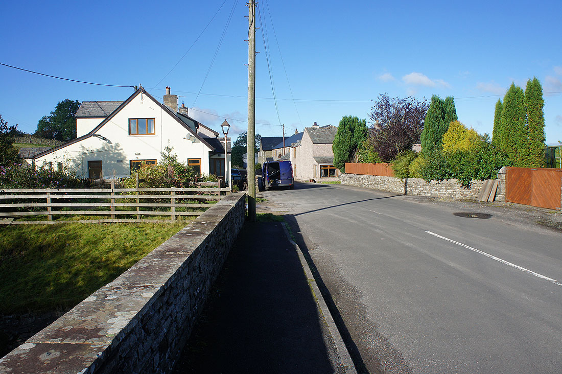
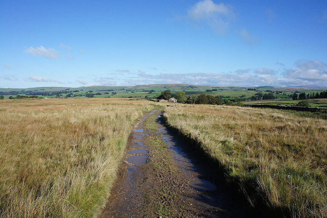
It's a lovely morning as I set off from the hamlet of Gaisgill
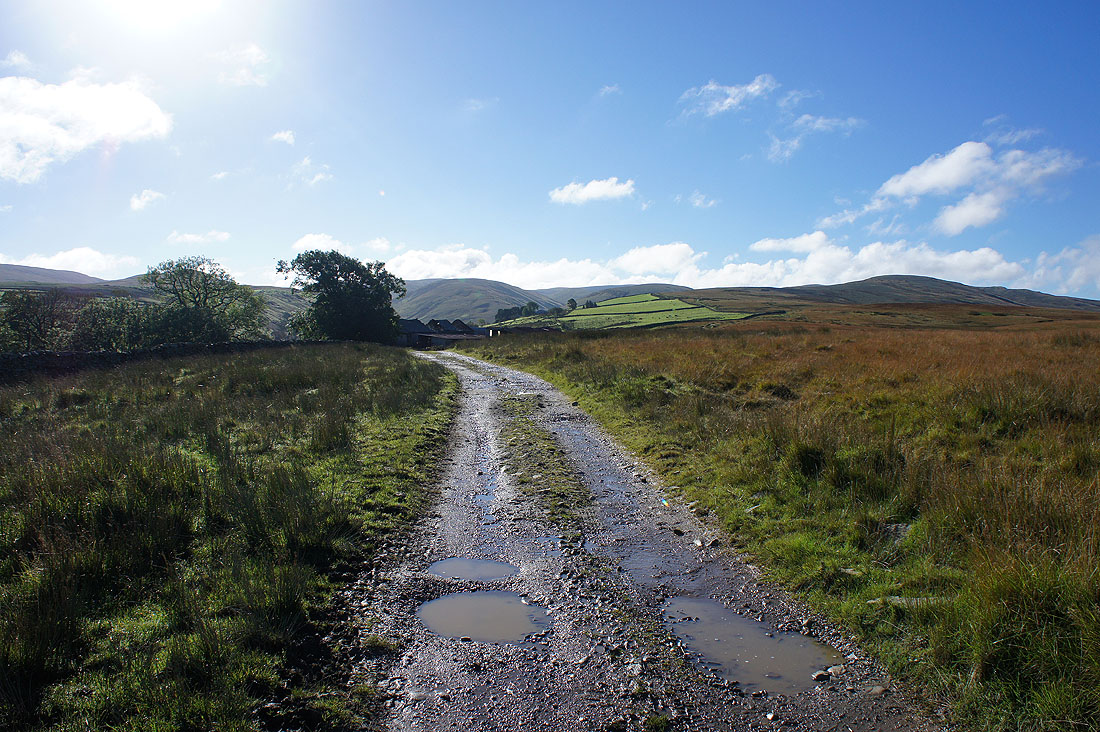
Onto the open fell and on the track that will take me past the ruined farm of Long Gills
Looking back with the limestone hill of Knott in the background, which is part of the Westmorland limestone plateau
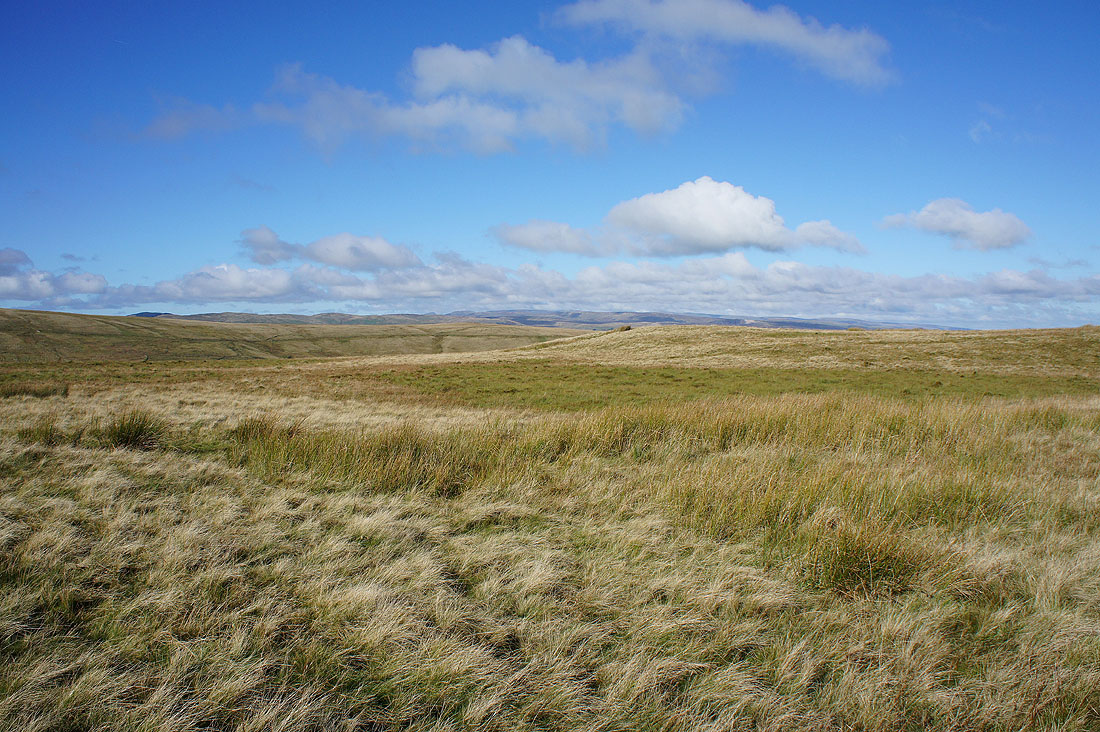
I've not been going long and I can already make out the far eastern fells of the Lake District in the distance
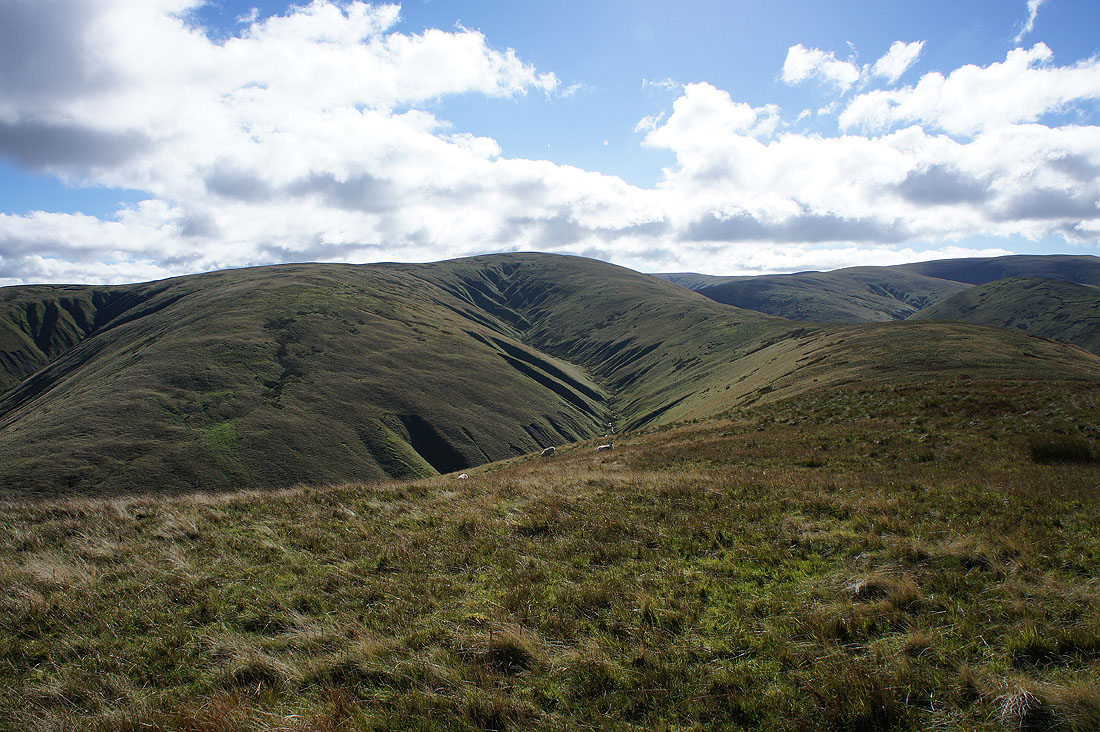
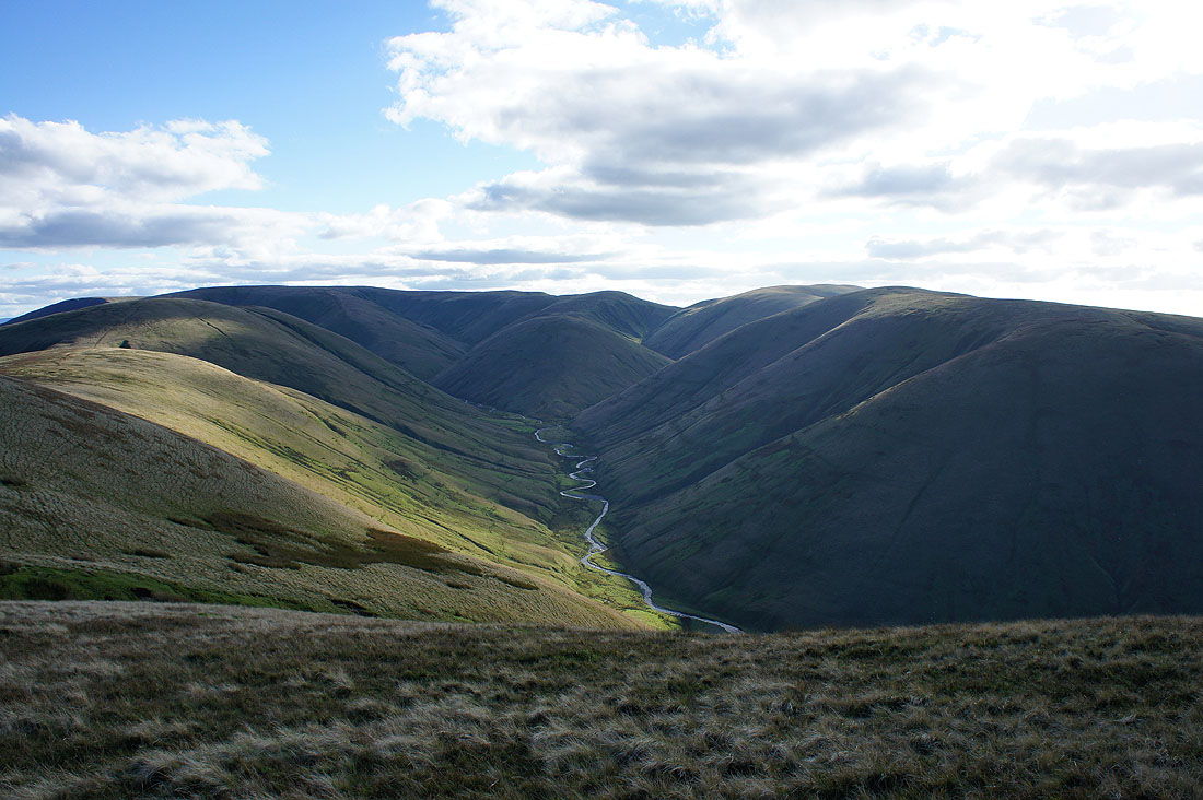
At Uldale End and this is where I need to change the ridge I'm on. A steep drop into the valley below, across Uldale Beck, and then up the ridge of Middleton on the right.
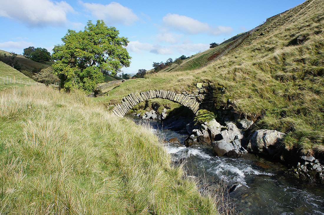
Down in the valley and before I head up the ridge a quick look at the perfectly formed little bridge over Langdale Beck
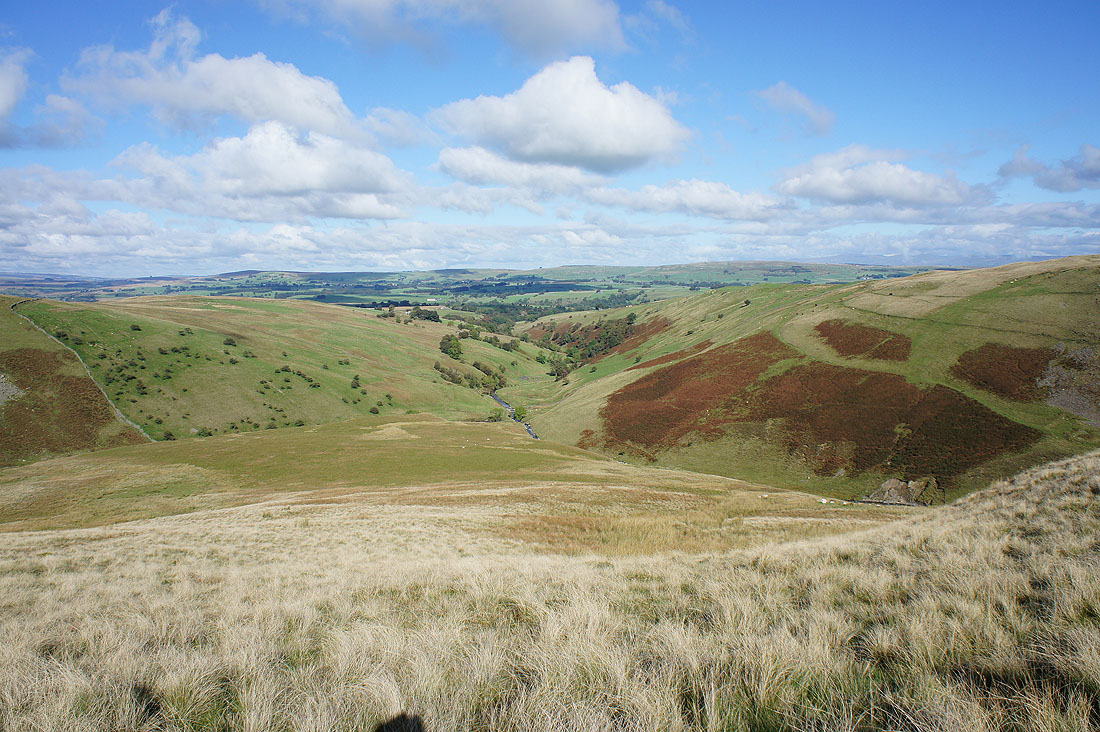
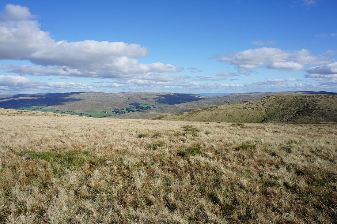
Looking back as I head up and the valley of Uldale joins Langdale from the left. I followed the wall on the left of the photo down into the valley.
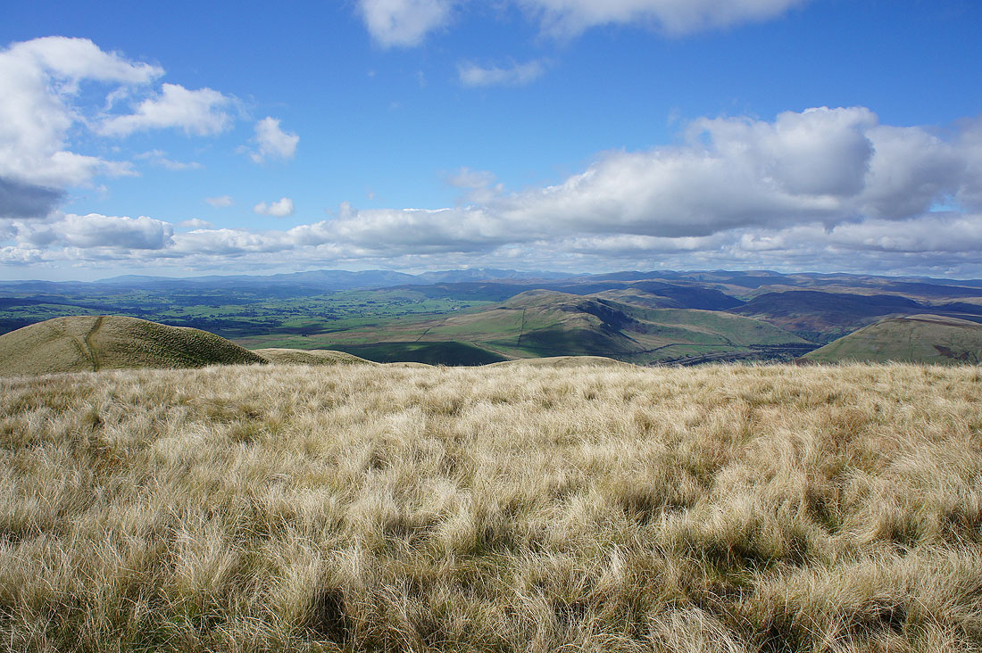
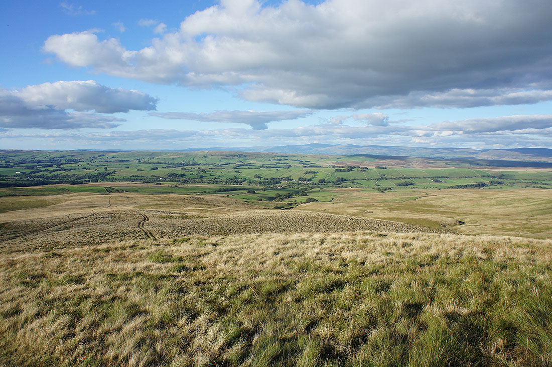
To my left is Langdale. The ridge on its other side will be my route back.
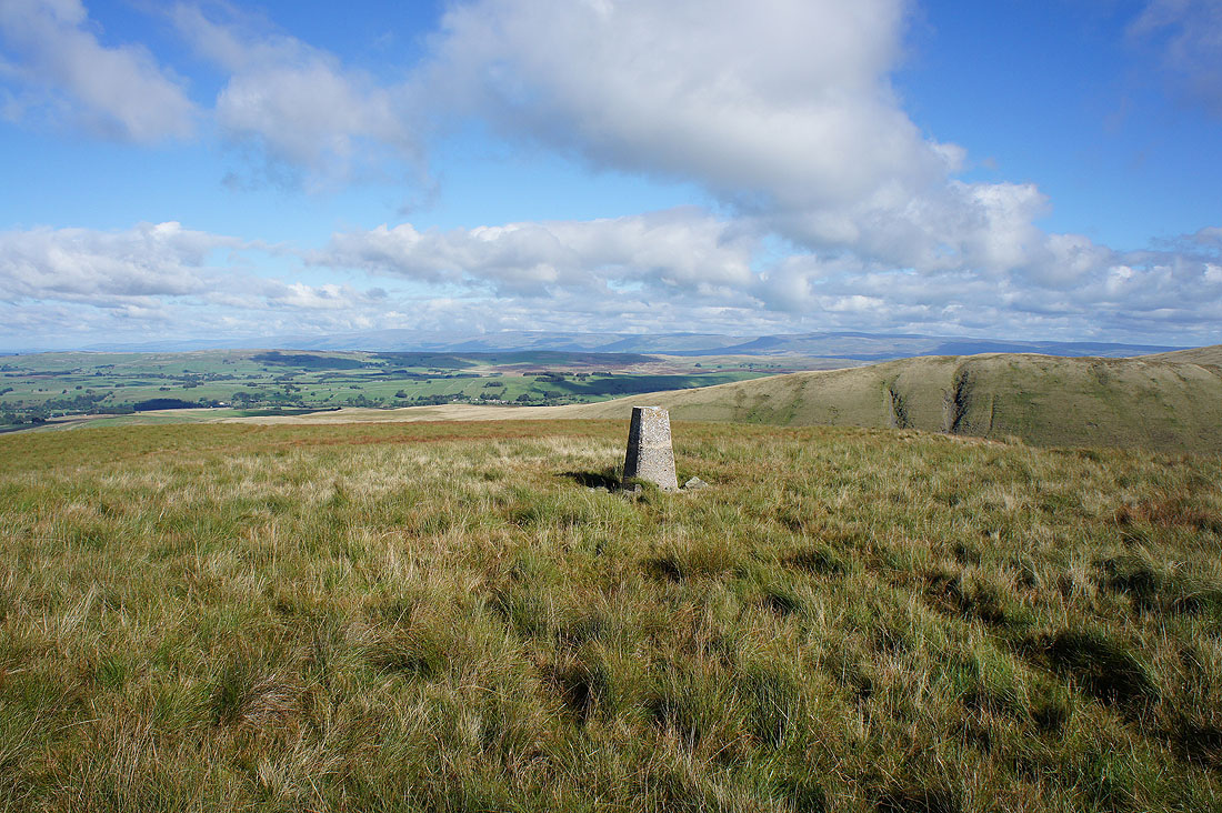
At the trig point on Middleton. The North Pennines form the distant backdrop beyond the Westmorland limestone plateau.
Lots of Lake District fells, from the Coniston range on the left to the far eastern fells on the right
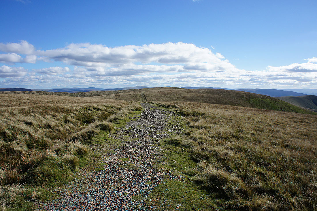
My next task is to follow the ridge to the top of Simon's Seat
Looking back down the ridge of Middleton
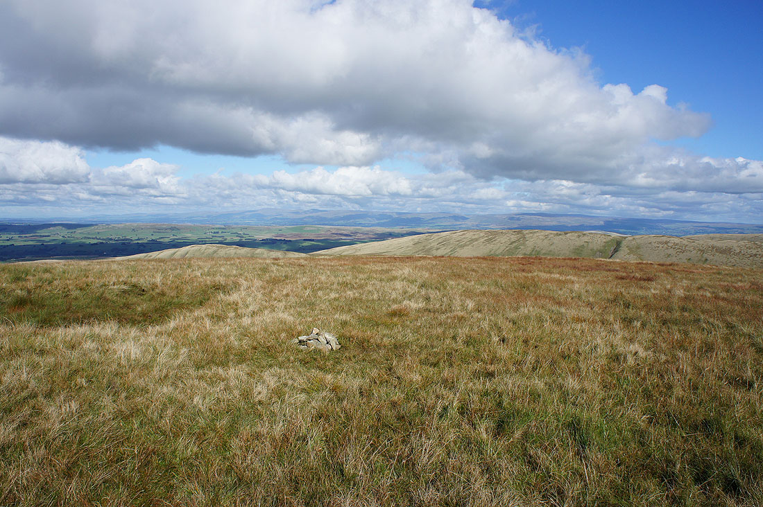
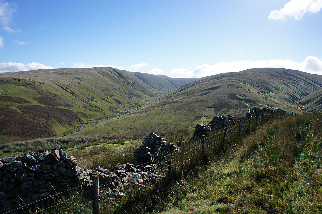
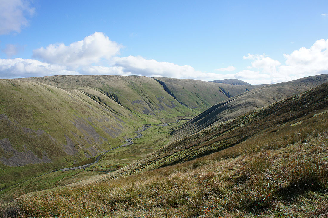
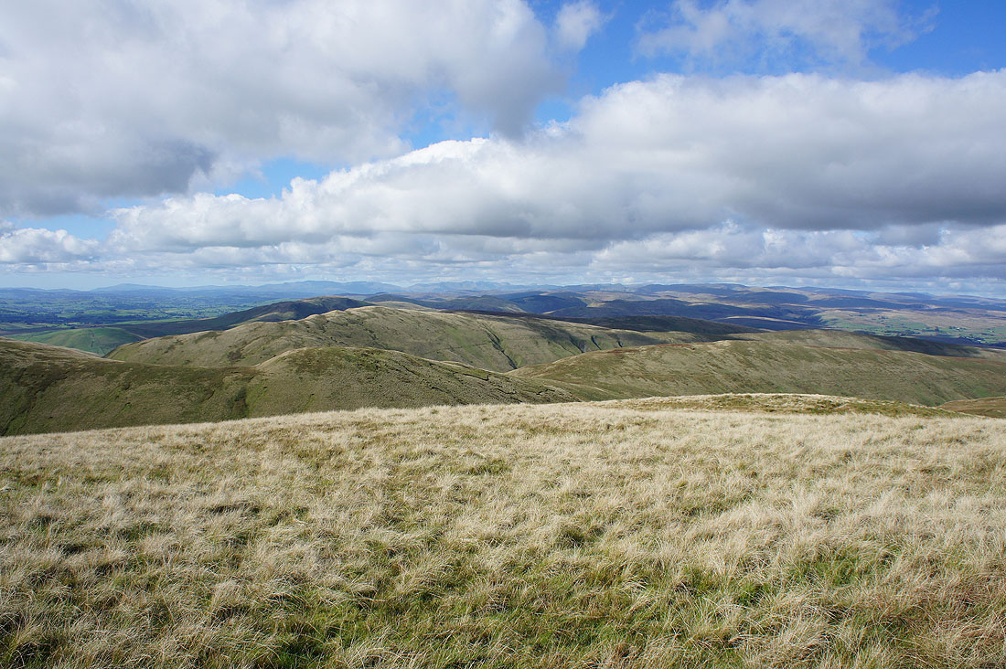
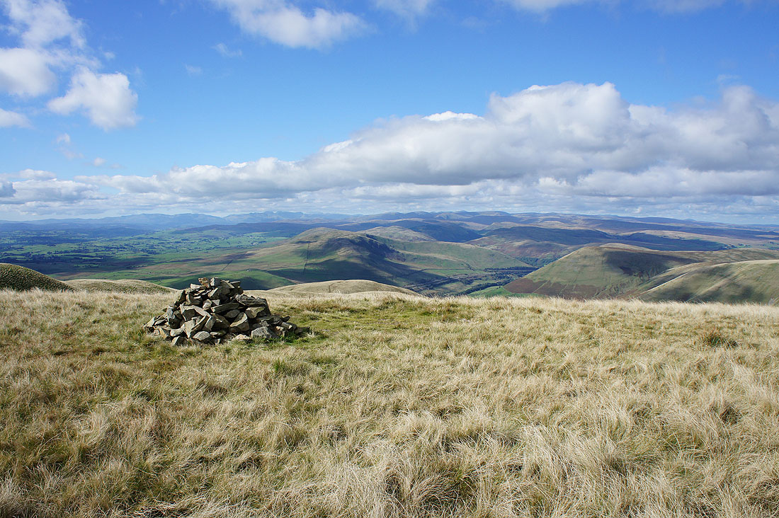
A tiny cairn marks the top of Simon's Seat. A bit of effort is needed when building cairns in the Howgills as there usually isn't much building material around. Part of the ridge I'll be walking along on the way back can be seen, along with Cross Fell and the North Pennines in the distance.
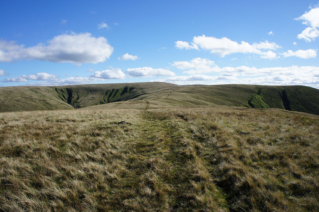
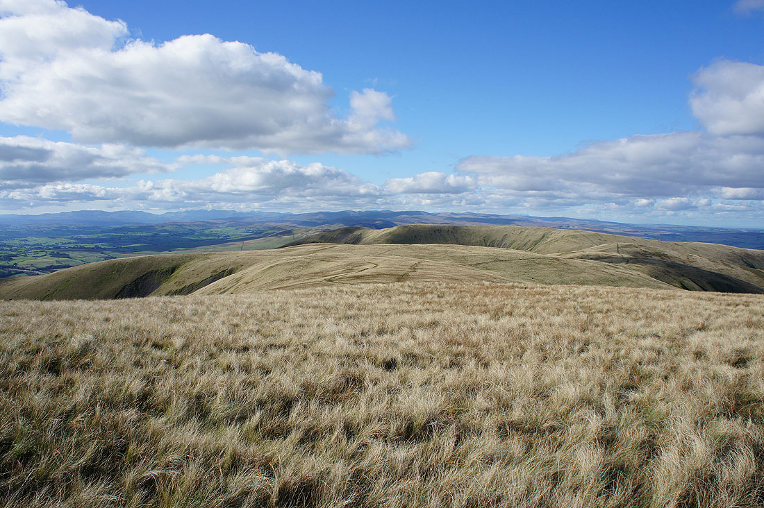
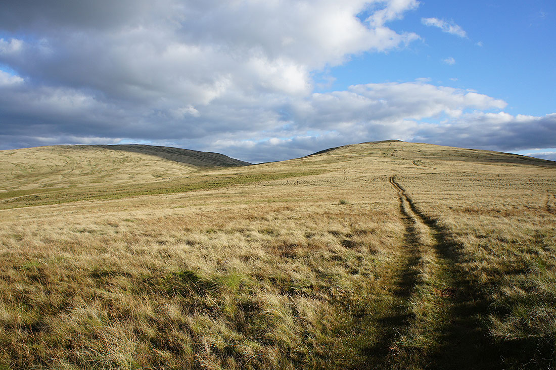
If I turn to the right there's more of the ridge. The rounded hills of Randygill Top and Yarlside are either side of the broad swell of Hazelgill Knott.
A surprisingly good view of lots of Lake District fells. With really clear air today I can easily make out Scafell Pike and Great Gable.
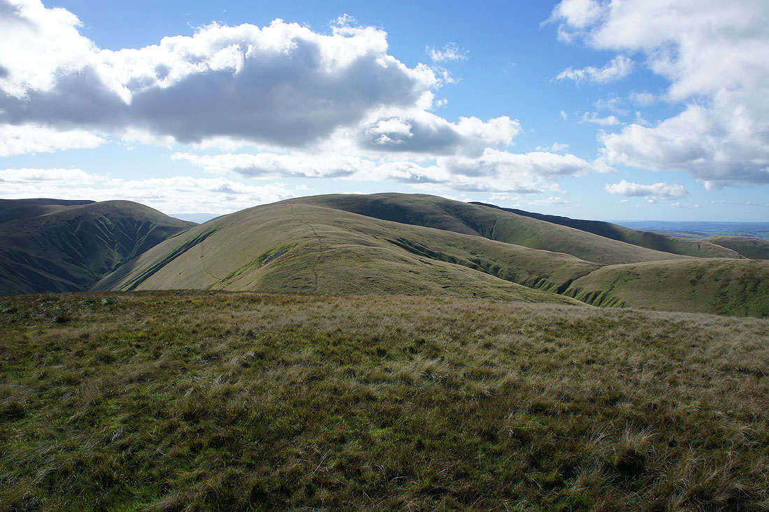
Next stop is Fell Head, which is currently out of sight behind Breaks Head. Unfortunately there was a bit of a down before heading up again.
Looking down the valley of Churn Gill
Looking back to Simon's Seat, with a patch of sunshine, from Breaks Head
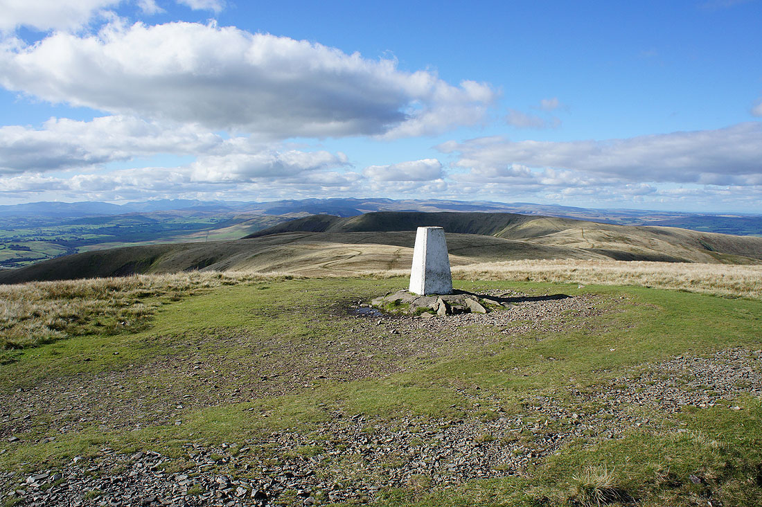
At the more substantial cairn on Fell Head and this is where I stopped for lunch. It's the highest point in the west of the Howgills and has a fantastic all round view.
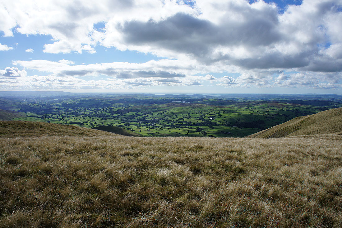
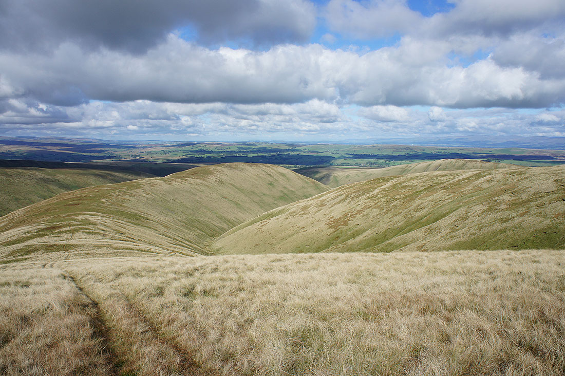
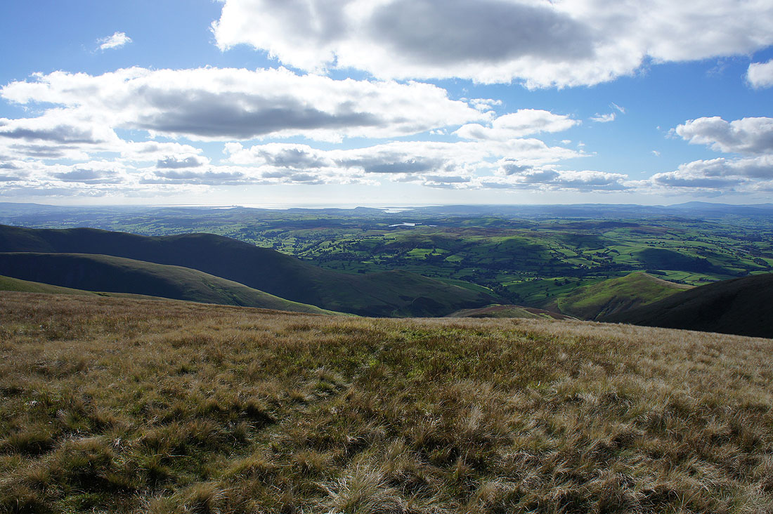
Lunesdale below and Morecambe Bay in the distance
Penyghent, Whernside and Ingleborough beyond the nearby Howgills fells of Calders and Arant Haw
Cross Fell and the rest of the North Pennines in the distance
The great view across to the Lake District fells which includes the Coniston fells, Scafell Pike, Great Gable, Helvellyn and High Street
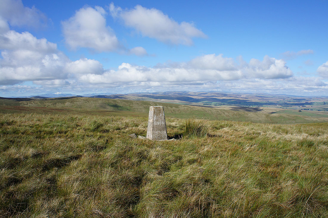
On Bush Howe and The Calf, the highest point in the Howgills, is in sight
and some time later I'm at the trig point that marks it
Morecambe Bay in the distance
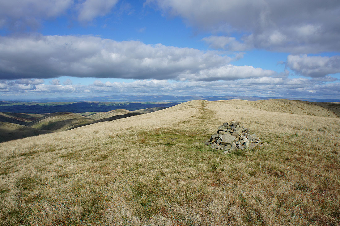
The bridleway to Calders and Sedbergh
Looking the other way and that's the direction I'll be going
The fantastic view across to the Lake District fells
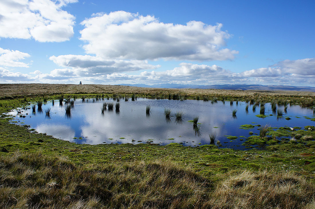
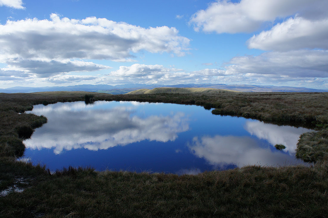
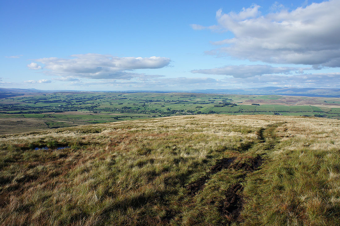
The summit pool. When I first started coming up here ten years ago it always seemed to be full but more recently I've found it dried out, evidenced by the grass growing in it.
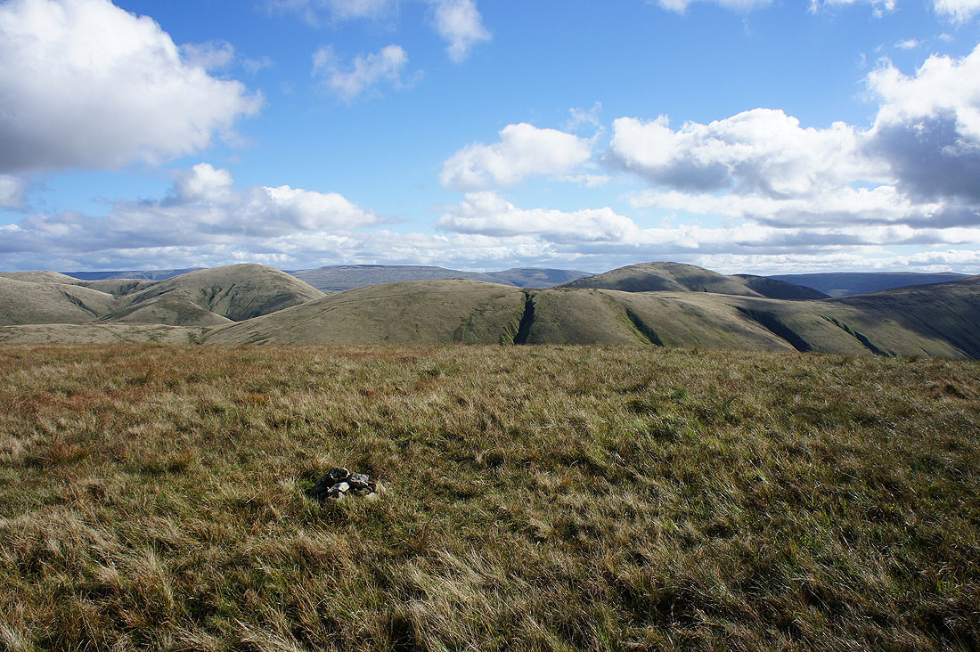
Looking in the other direction to Wild Boar Fell and Swarth Fell on the other side of the Rawthey valley
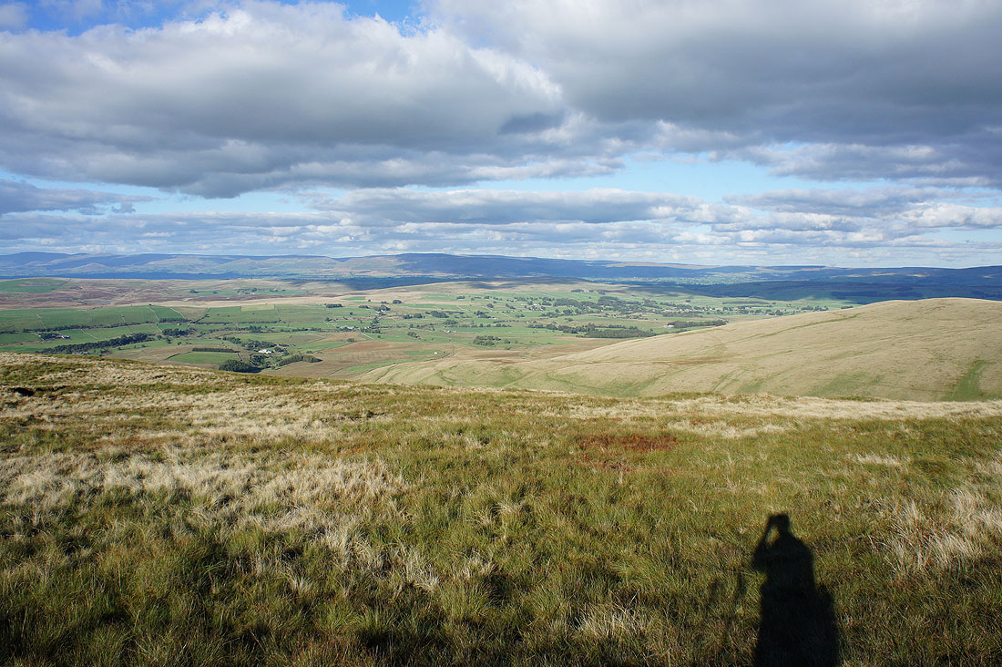
I couldn't help but stop and take a photo when I passed this pool and saw the sky reflected in it
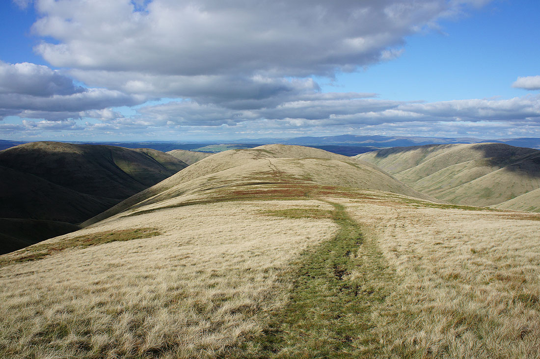
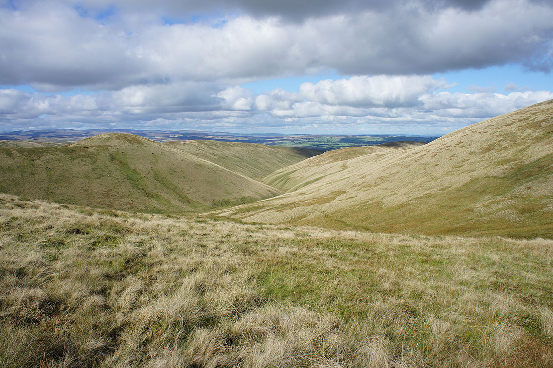
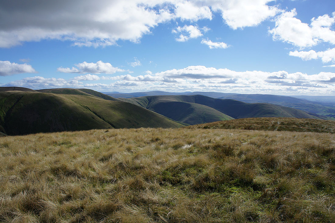
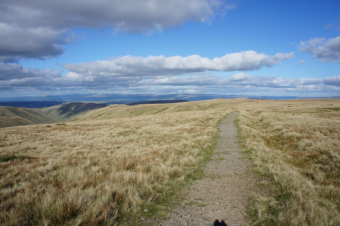
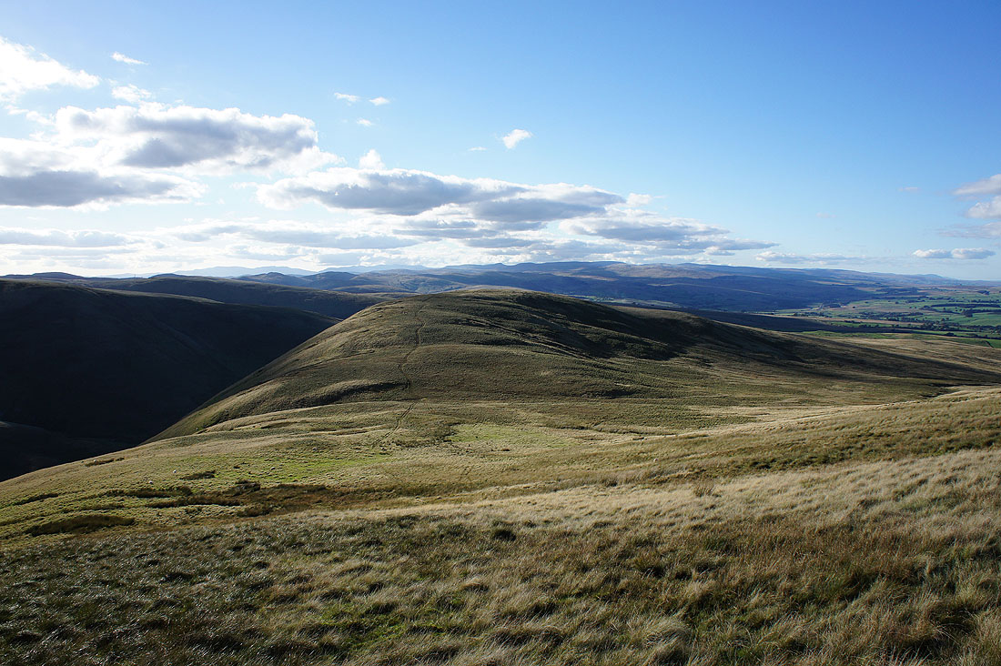
My route back. Down the long ridge over Hazelgill Knott..
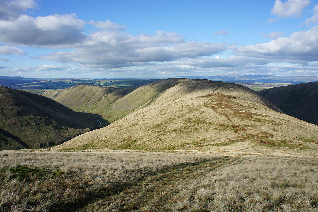
..and then on to West Fell. Easy walking with just gentle ups and downs means that I can set a good pace. The valley of Langdale is to my left and..
..as I reach West Fell I get a view looking up to its head
On West Fell and looking north across the valley of the infant River Lune to the Westmorland limestone plateau and the North Pennines..
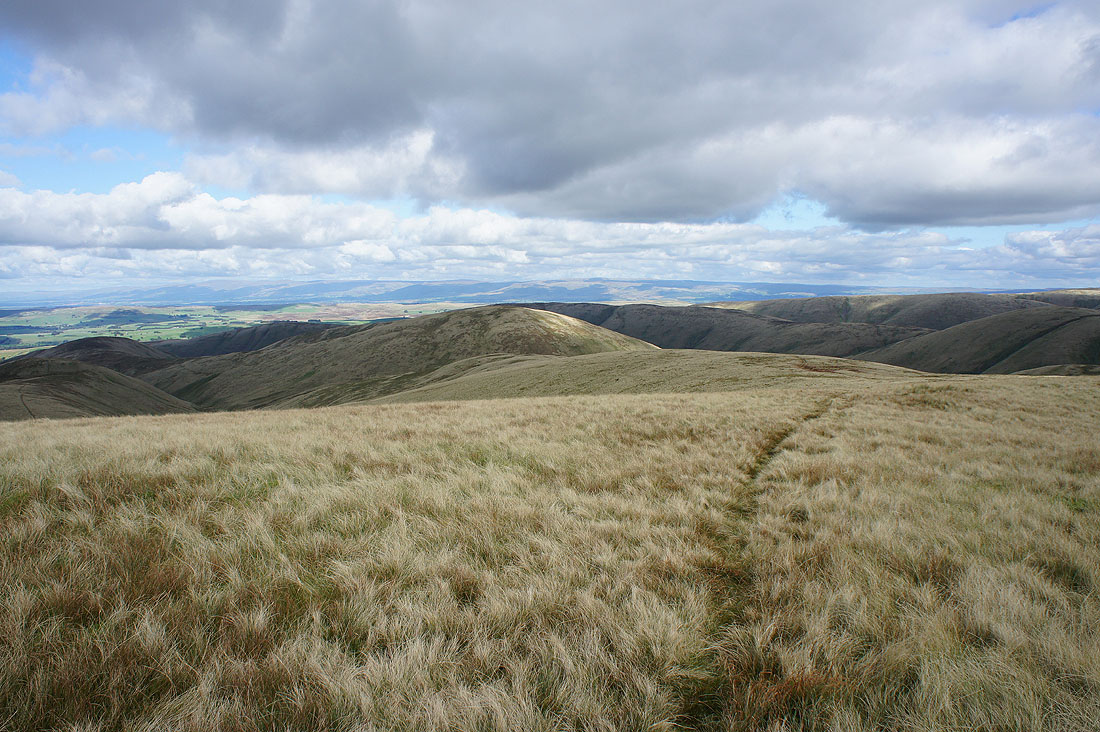
Heading for Langdale Knott
Starting the final descent from Langdale Knott and it's lovely end to the afternoon. The quadbike track will take me to a farm in the middle of the photo and the road that ends there.
Looking back up to West Fell and Langdale Knott
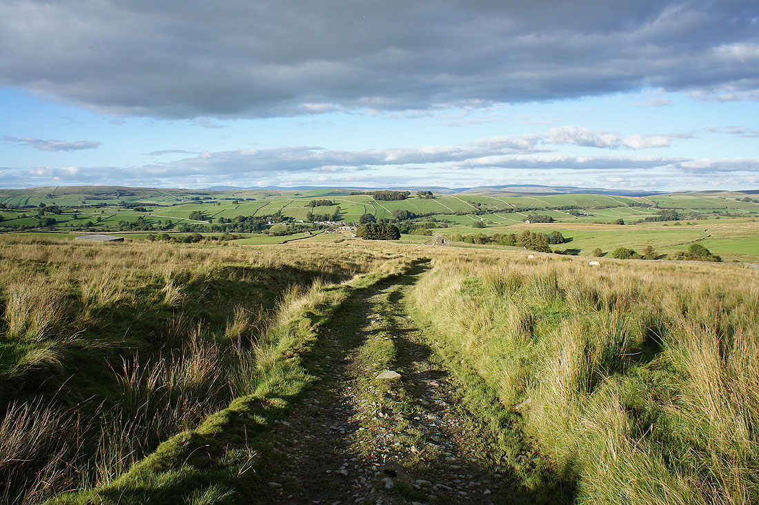
The farm and road end is in sight
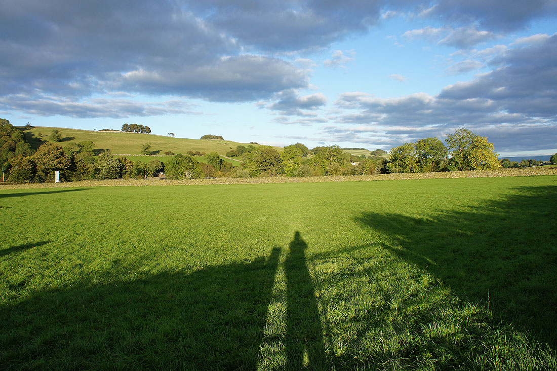
Long shadows across Lunesdale as I walk along the road back to Gaisgill