2nd September 2012 - Boulsworth Hill
Walk Details
Distance walked: 7.6 miles
Total ascent: 1432 ft
OS map used: OL21 - South Pennines
Time taken: 4.5 hrs
Route description: Wycoller-Turnhole Clough-Pendle Way-Great Saucer Stones-Lad Law-Pendle Way-Spoutley Lumb-Lumb Spout-Lodge Hill-Bank House-Wycoller
A late start, two o'clock in the afternoon and it was well worth waiting for the mornings low cloud and drizzle to clear.
I started this walk from the car park/ picnic area above the hamlet of Wycoller. I walked down into the hamlet then followed the Pendle Way for a short distance until I reached Turnhole Clough. I used this path as a short cut to rejoin the Pendle Way as it heads under Boulsworth Hill. My ascent of Boulsworth Hill was by a path that follows a line of grouse butts up to the gritstone outcrop of Great Saucer Stones. Next stop was Lad Law, the summit. The route back was by the path that passes the Abbot Stone down to the Pendle Way. I left this at Spoutley Lumb to follow field footpaths back to Wycoller.
Route map
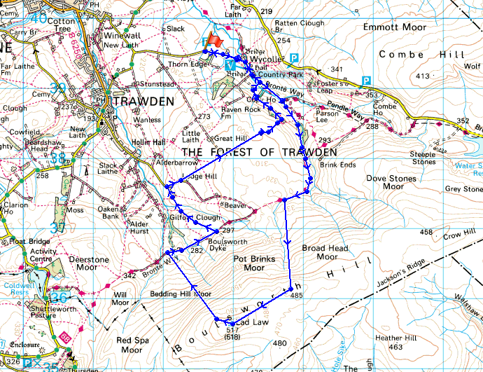
© Crown copyright. All rights reserved. License number PU 100034184.
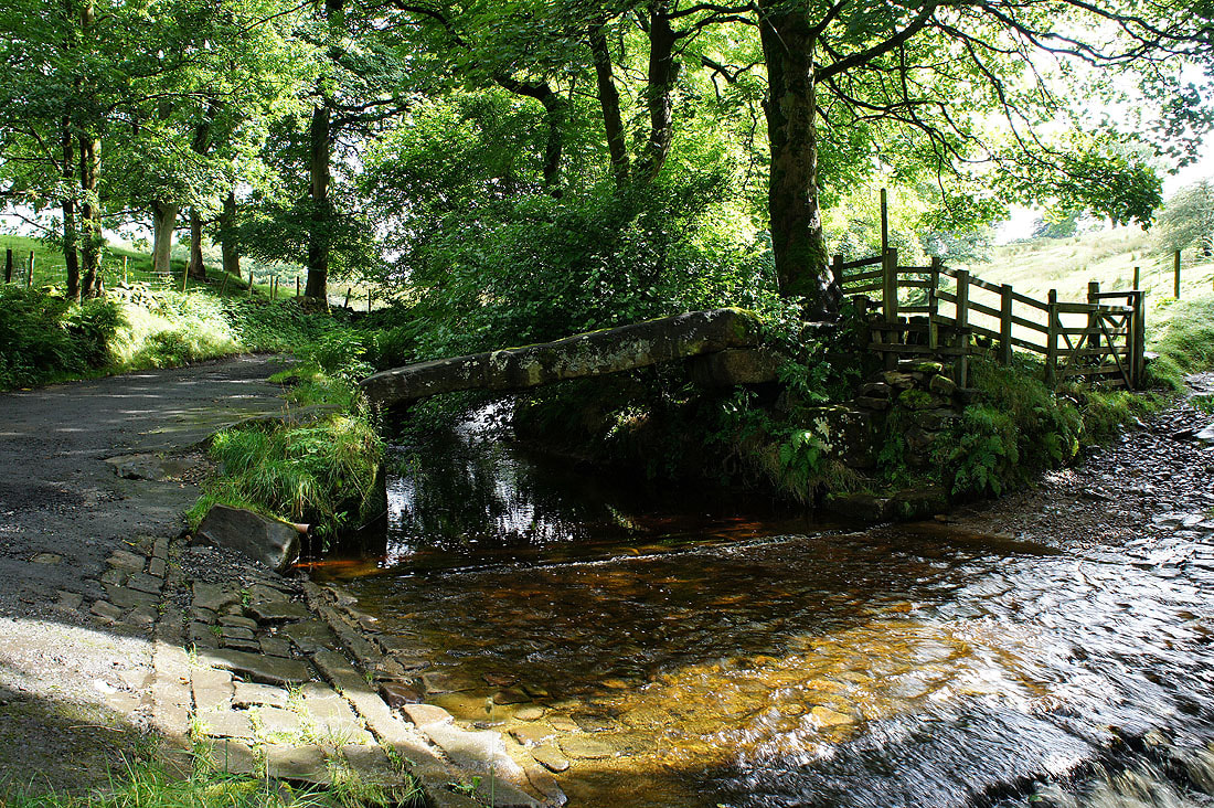
The clam bridge over Wycoller Beck. After parking in the car park above the hamlet of Wycoller I walked down the road through the hamlet and onto the path by the beck.
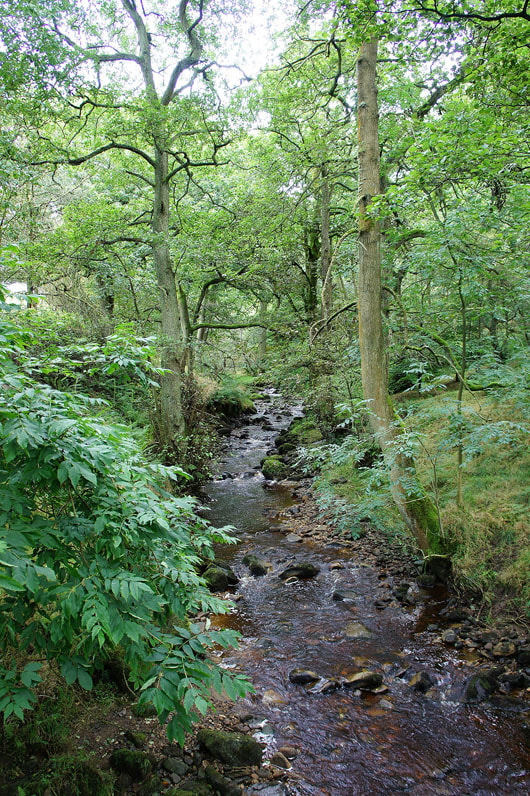
Turnhole Clough. This path up the clough is a short cut up to the Pendle Way that runs across the northern flank of Boulsworth Hill.
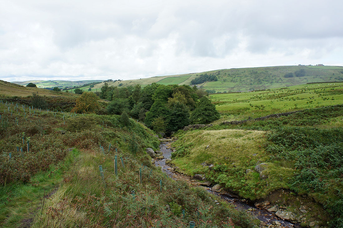
A look back as I leave the woodland of Turnhole Clough to join the Pendle Way
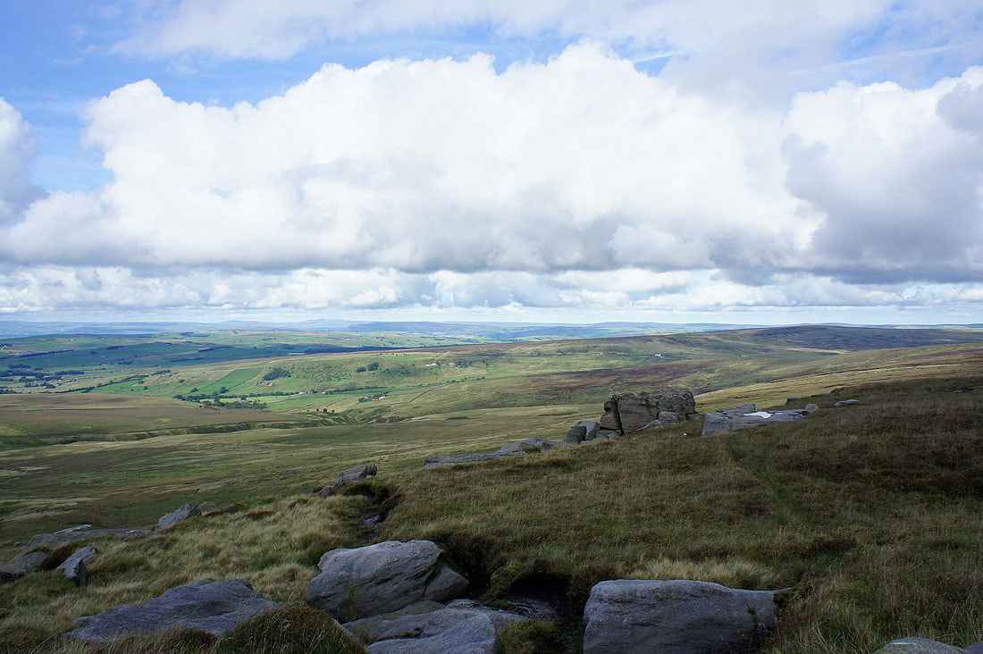
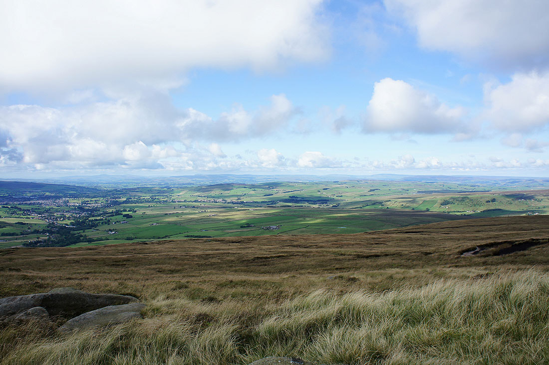
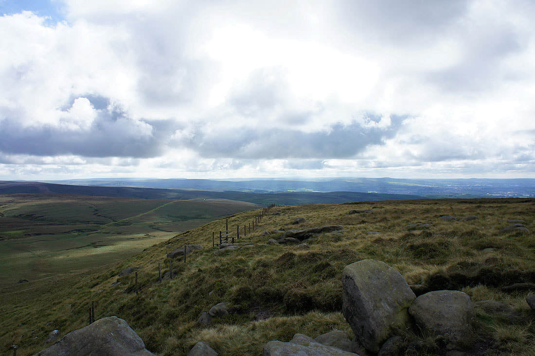
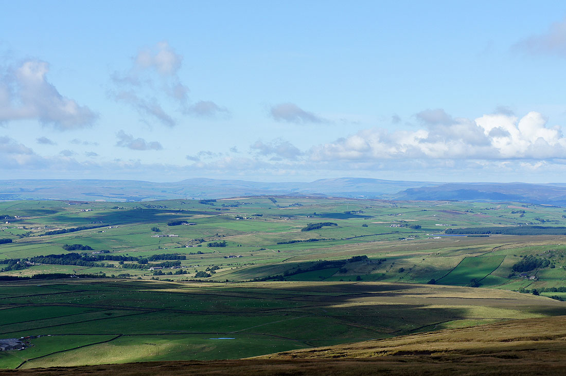
I've followed a line of grouse butts uphill to the outcrop of gritstone boulders known as Great Saucer Stones. Here I'm looking northeast to the last of the South Pennine moors, including Ickornshaw Moor and Rombalds Moor.
Ingleborough and Penyghent are in the far distance in the middle of the picture
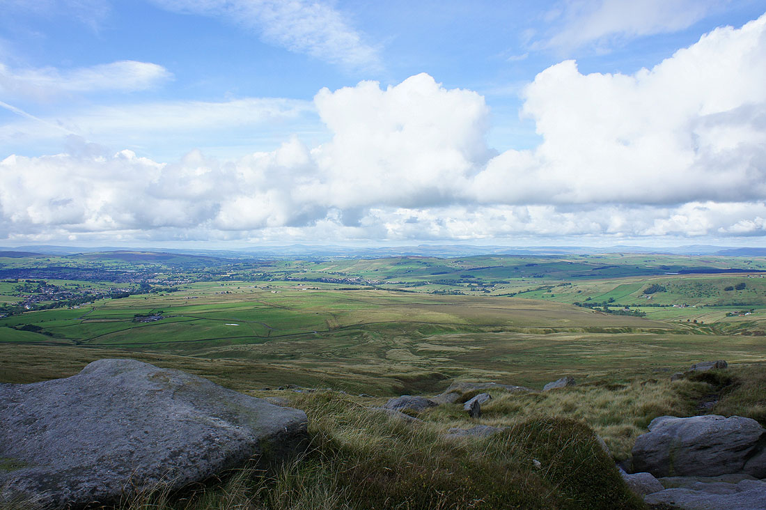
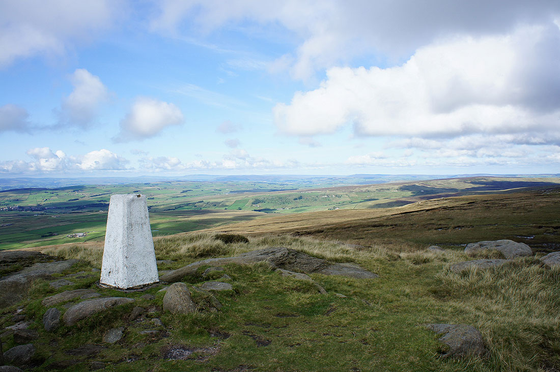
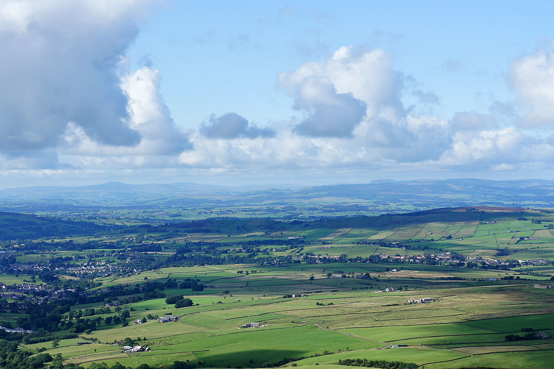
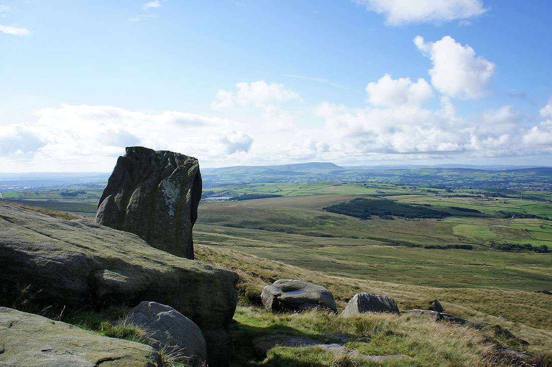
Pendle Hill from Great Saucer Stones. Now to head up to Lad Law, the summit of Boulsworth Hill.
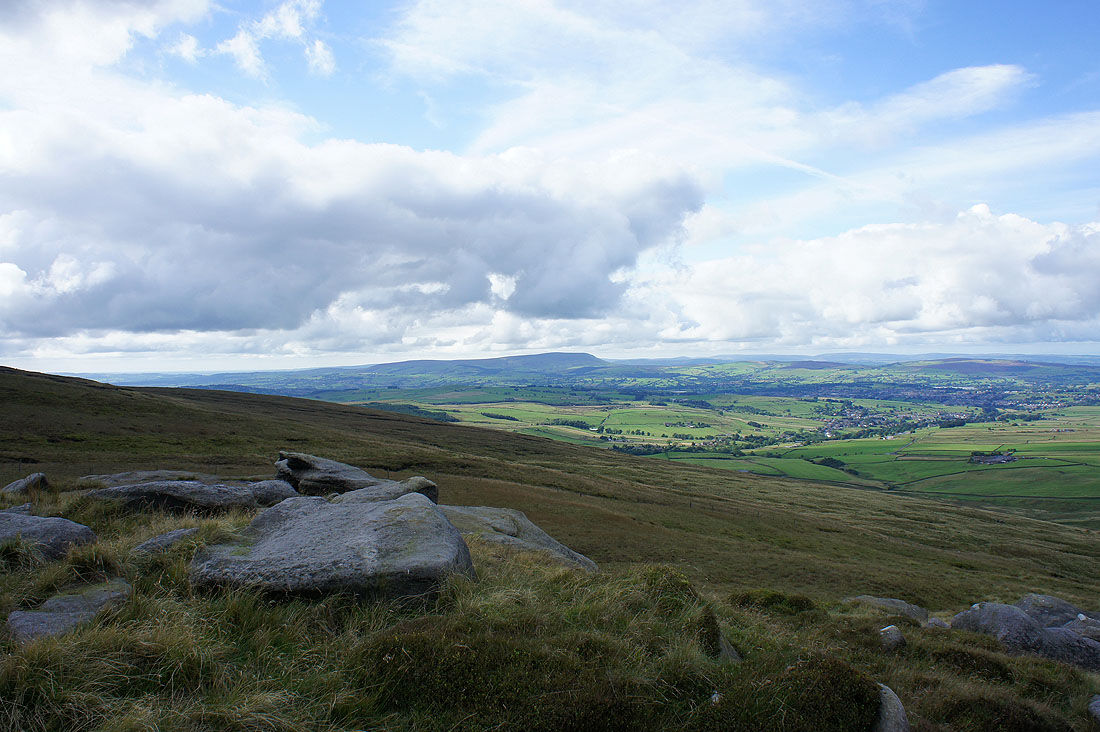
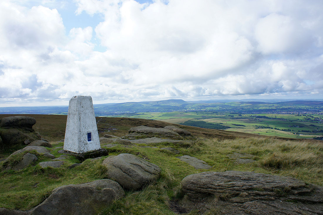
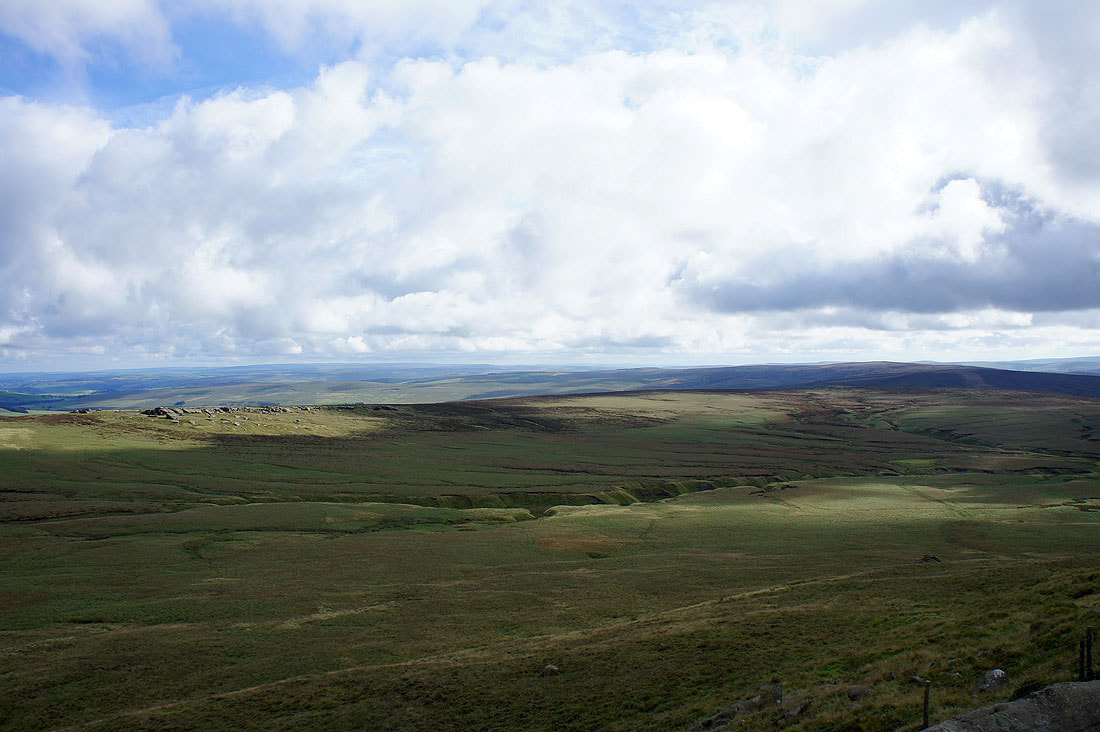
The views from Lad Law. Towards a distant Ingleborough and Penyghent.
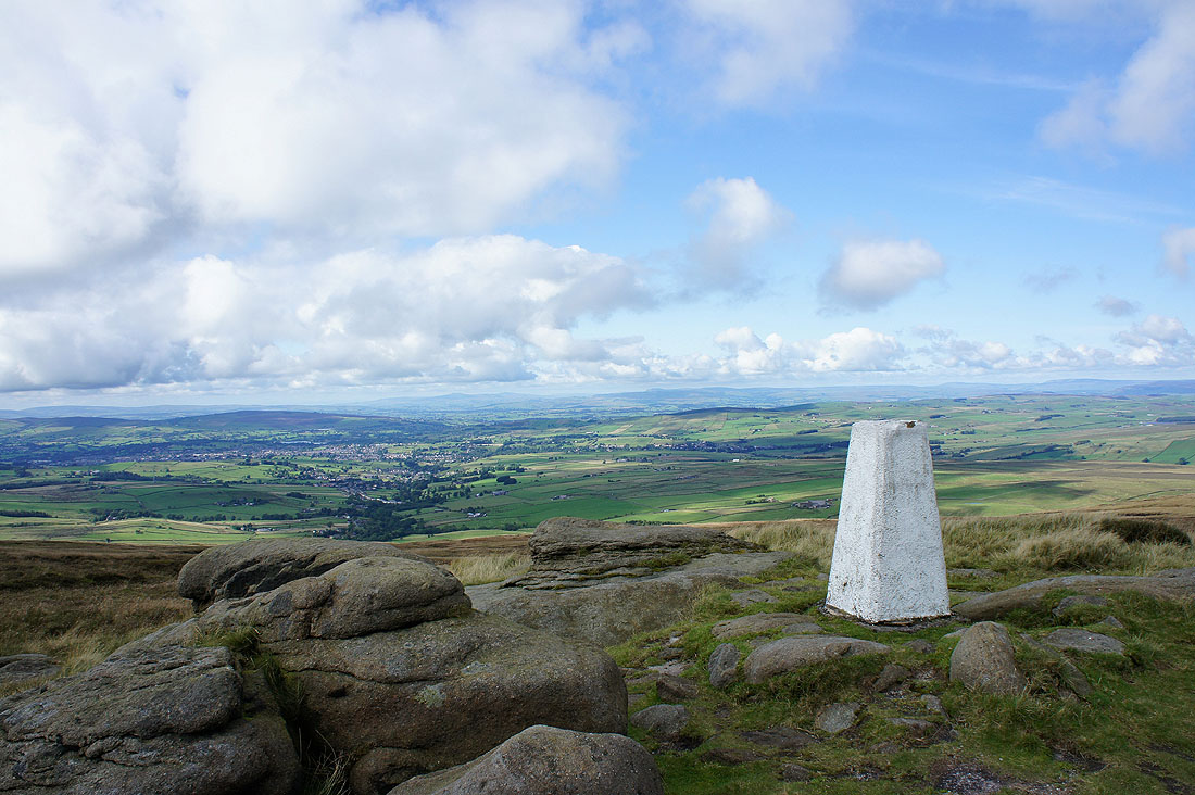
Buckden Pike and Great Whernside on the horizon above the trig point
All four Craven heights in shot
Pendle Hill
The gritstone outcrop of Dove Stones
The West Pennine Moors in the distance
Dove Stones, Widdop Moor and Hoof Stones Height
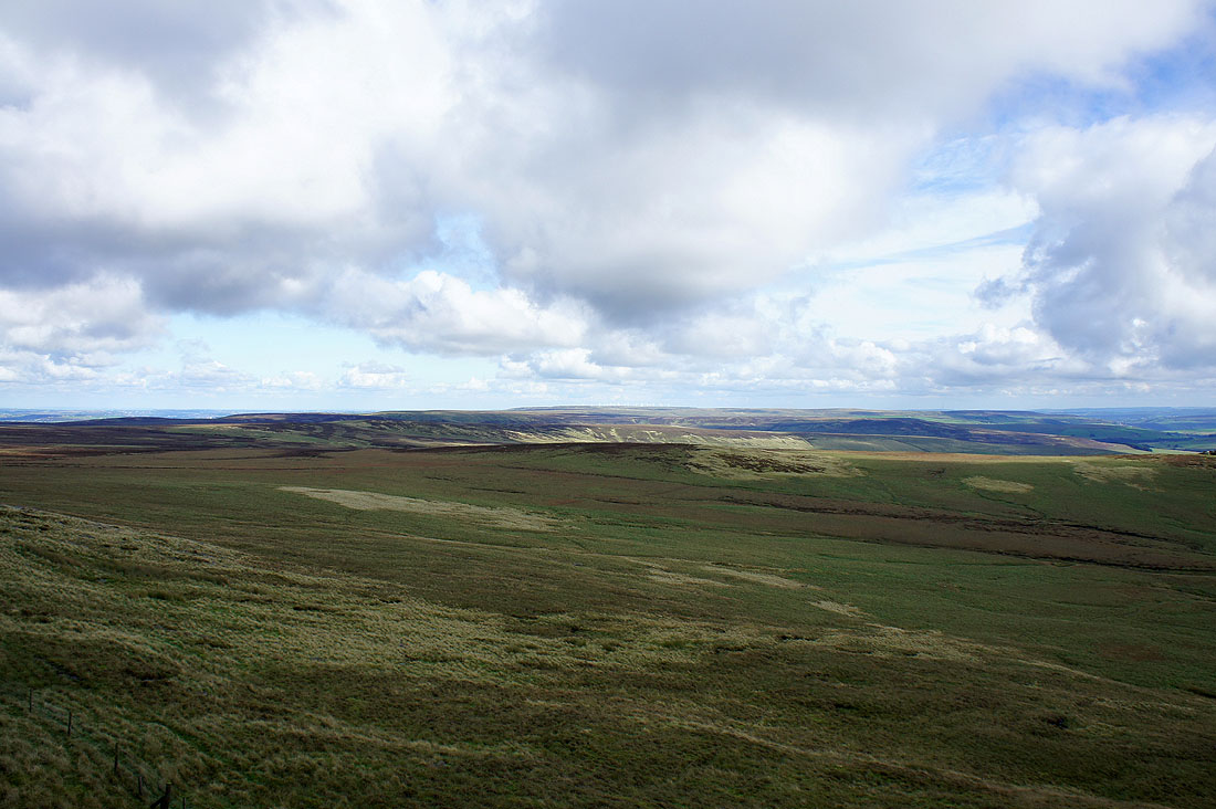
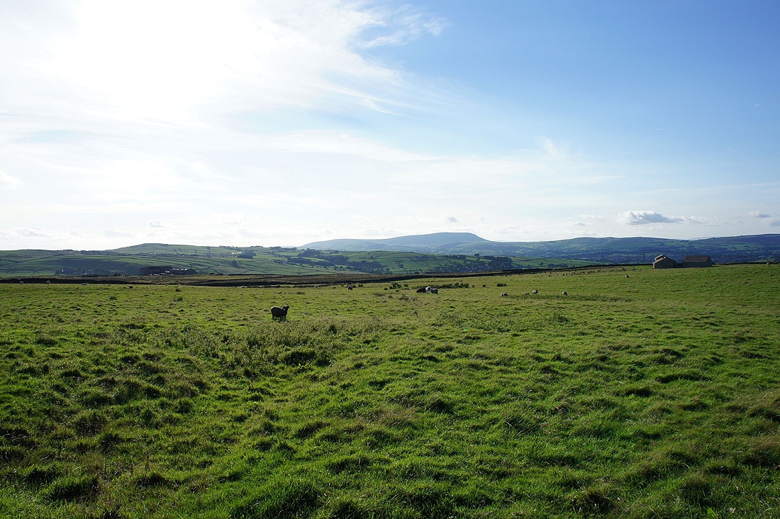
Stanbury Moor, Wadsworth Moor and High Brown Knoll, where I was last weekend is out there somewhere
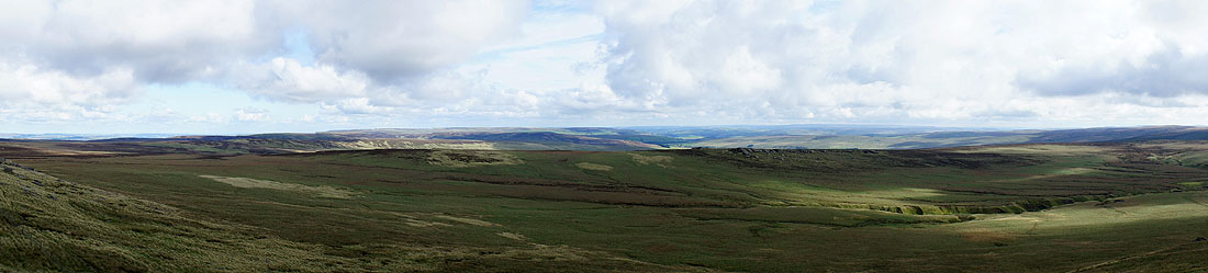
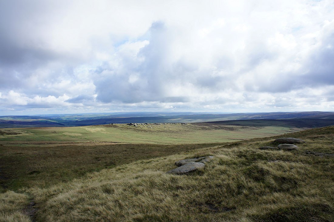
A panorama of South Pennine Moors
Zooming in on Buckden Pike and Great Whernside
Ingleborough and Penyghent
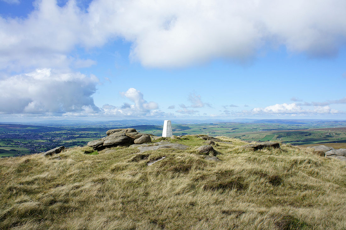
Lad Law
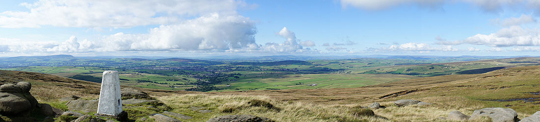
Panorama from Pendle Hill to the northwest and the view to the north
On the way down and I decided to take a picture of the Abbot Stone in front of Pendle Hill
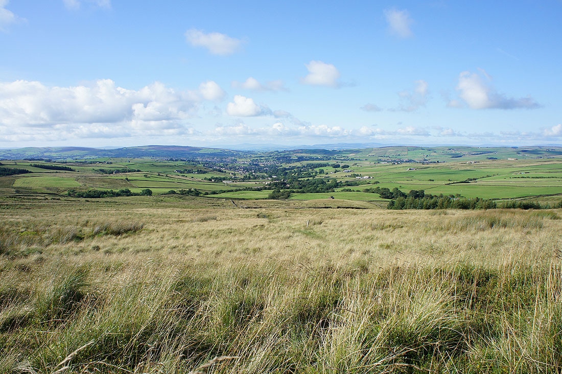
Almost back down to the Pendle Way and then I have a walk across farmland back to Wycoller
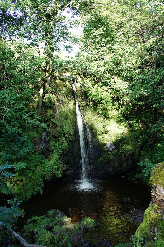
Lumb Spout. Just a short distance off my route and worth a look. I didn't make it down to the side of the pool though. The wet summer has left the bank that you have to descend a sodden mess.
Crossing Pendle farmland
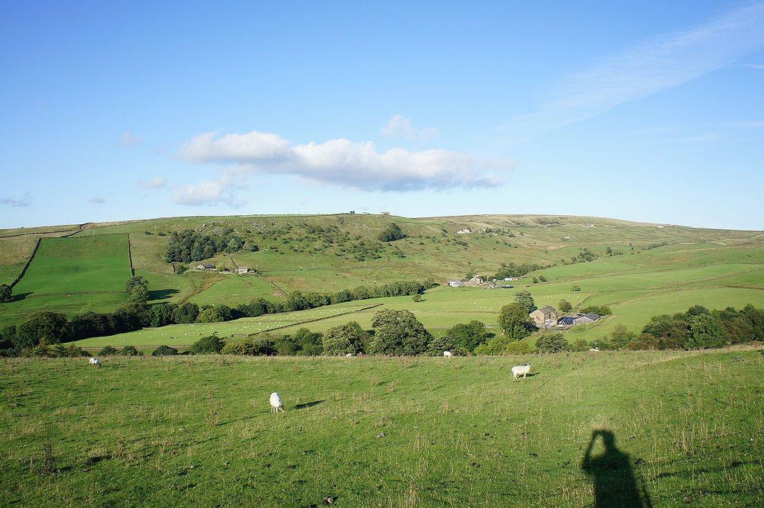
Downhill into the trees then turn left for Wycoller
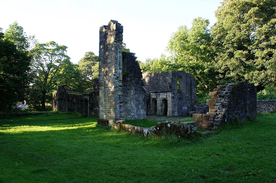
The ruins of Wycoller Hall
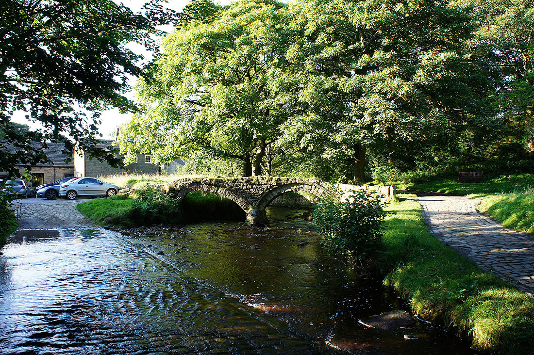
Across the packhorse bridge and I'm back in Wycoller