2nd September 2017 - Whelp Stone Crag and Bowland Knotts
Walk Details
Distance walked: 11.4 miles
Total ascent: 1539 ft
OS map used: OL41 - Forest of Bowland & Ribblesdale
Time taken: 6.5 hrs
Route description: Stocks Reservoir-School Lane-Gisburn Forest-Hindley Head-Geldard Laithe-Whelp Stone Crag-Gisburn Common-Resting Stone-Rock Cat Knott-Knotteranum-Bowland Knotts-Old Moss-Pike Side-New House-Stocks Reservoir
My walk this weekend took me to the Forest of Bowland and a route that I did for the first and until today the only time, six and half years ago. I don't remember having such a hard time negotiating a path through Gisburn Forest to Whelp Stone Crag back then. In the intervening years the Forestry Commission have turned it into a mountain biking paradise and despite a number of public footpaths through the forest being on my OS map I found a great deal of trouble finding any existence of them on the ground except where they coincided with tracks. It didn't help that I made a wrong turn that resulted in me spending a good 45 minutes getting myself heading in the right direction again. So, I probably won't approach Whelp Stone Crag from this side in the future and I can't recommend it. That said I did enjoy the rest of the walk. The route across the moors from Whelp Stone Crag to Bowland Knotts has great views across to Ingleborough and Penyghent in the Yorkshire Dales, the highlight being those from Bowland Knotts. It was a pleasant enough day with a mixture of sunny spells, cloudy skies at times and a gentle breeze.
My route description through the forest is the one that I should have followed. From the car park on School Lane I briefly walked back east along the road and took the public footpath that heads into the forest in a northeasterly direction. This met a track that went across a bridge over Bottoms Beck and on to Hesbert Hall, where a footpath took me to Hindley Head and a track north through the forest past Geldard Laithe that brought me close to the forest boundary. A mountain bike track got me to access land and Whelp Stone Crag. After a much needed break for lunch was taken I made my way north along the forest boundary to Resting Stone and then west to eventually arrive on Bowland Knotts. I crossed the Keasden Road to visit the trig point before returning to it to take the path south across Old Moss and down Pike Side to the barn of New House. I then followed the footpath from here back to the car park by Stocks Reservoir.
Route map
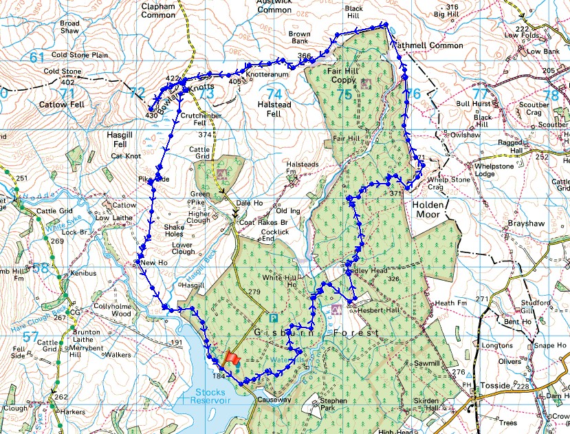
© Crown copyright. All rights reserved. License number PU 100034184.
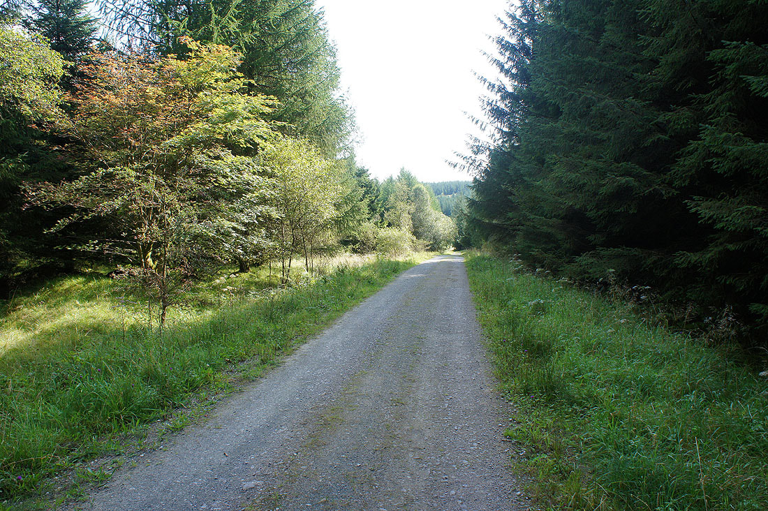
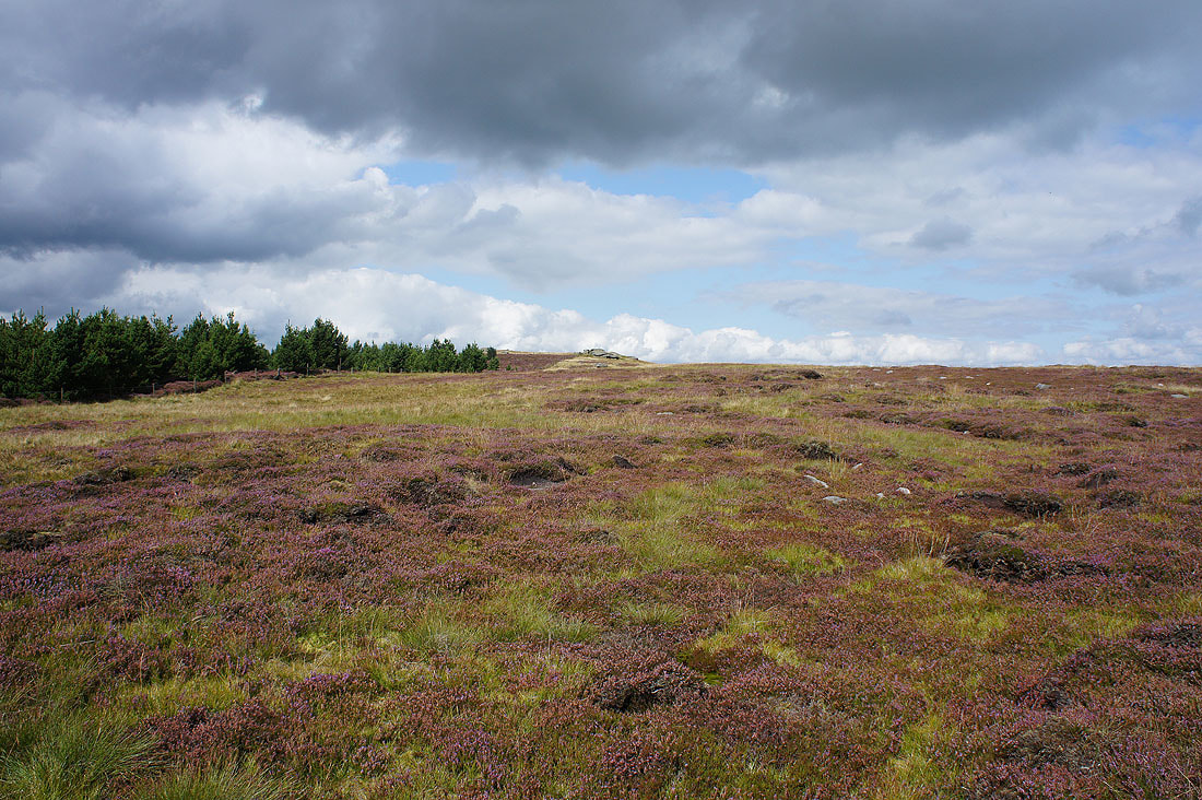
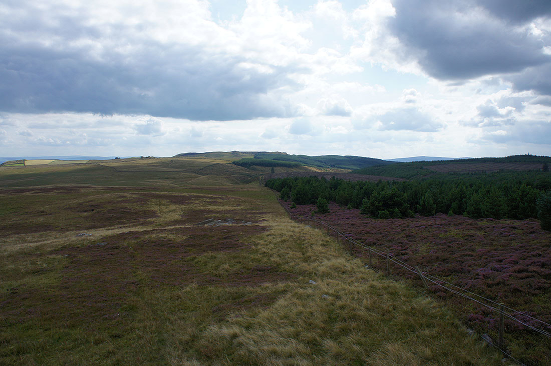
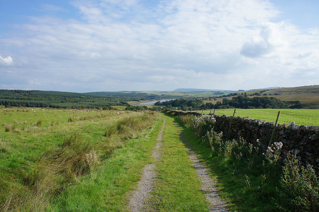
Lots of tracks through the forest to negotiate for the time being
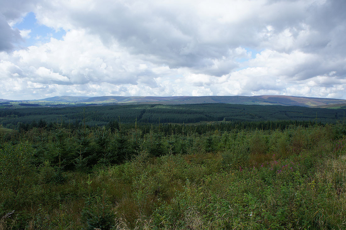
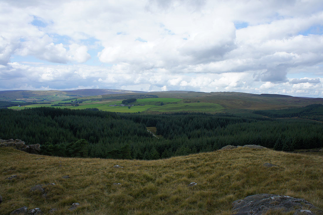
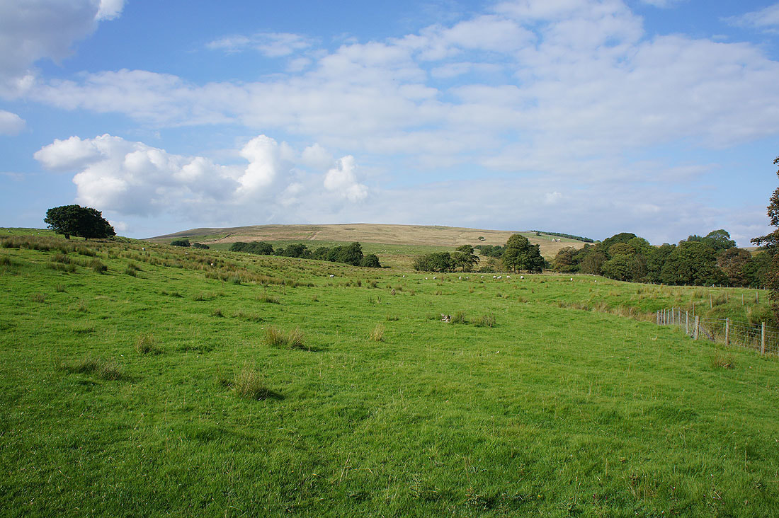
A view across the tops of trees to the fells on the other side of the Hodder valley
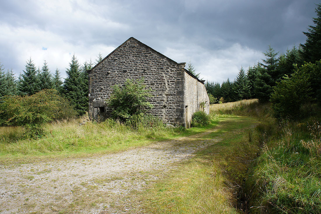
Geldard Laithe. I knew I was heading in the right direction when I passed this.
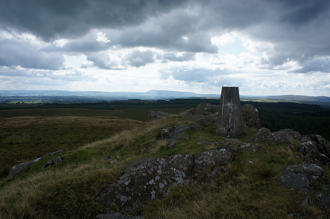
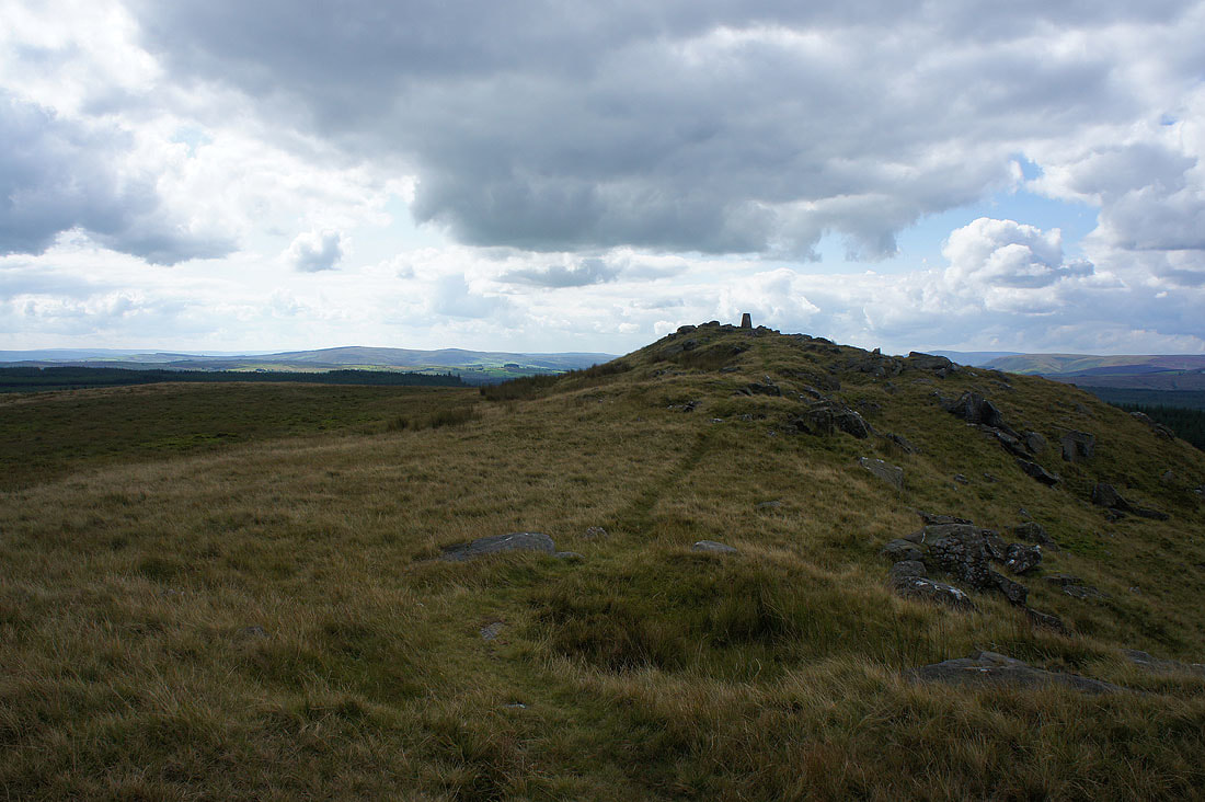
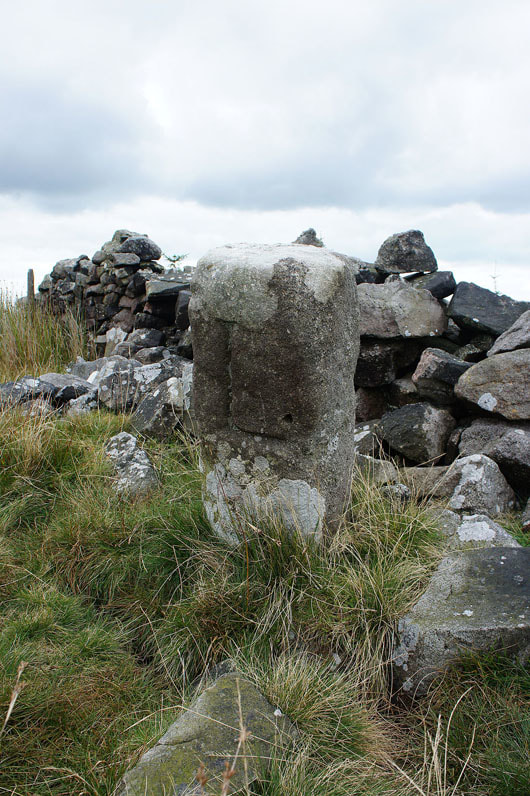
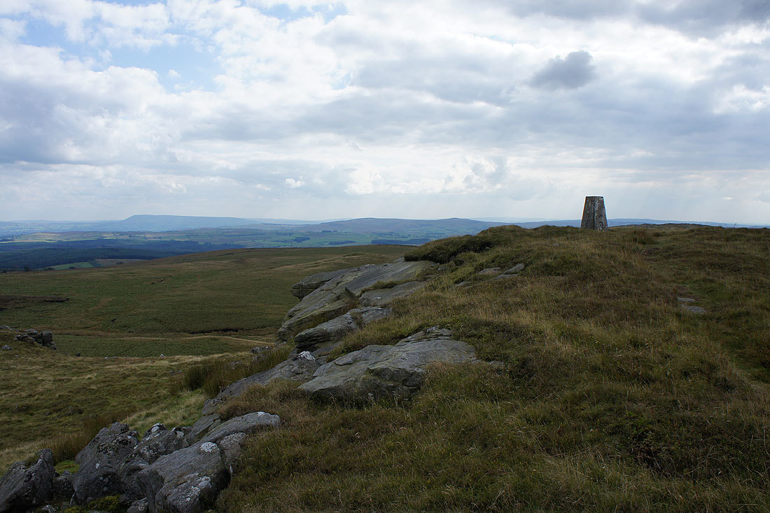
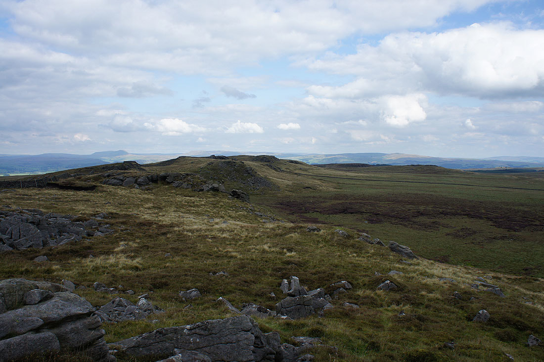
Finally at the trig point on Whelp Stone Crag with Pendle Hill in the distance
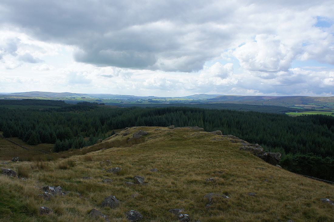
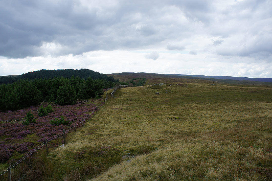
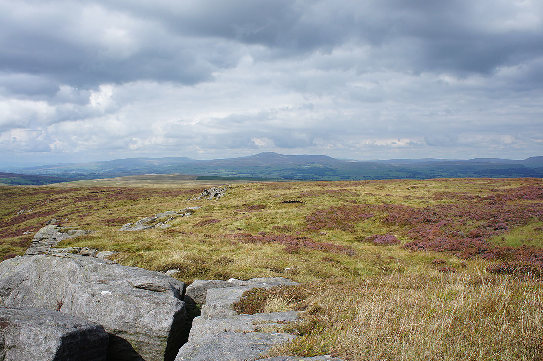
Looking across the top of Gisburn Forest to the Hodder valley and the heart of Bowland
White Hill, Great Harlow and Bowland Knotts to the west
Ingleborough, Penyghent and Fountains Fell to the northeast in the Yorkshire Dales
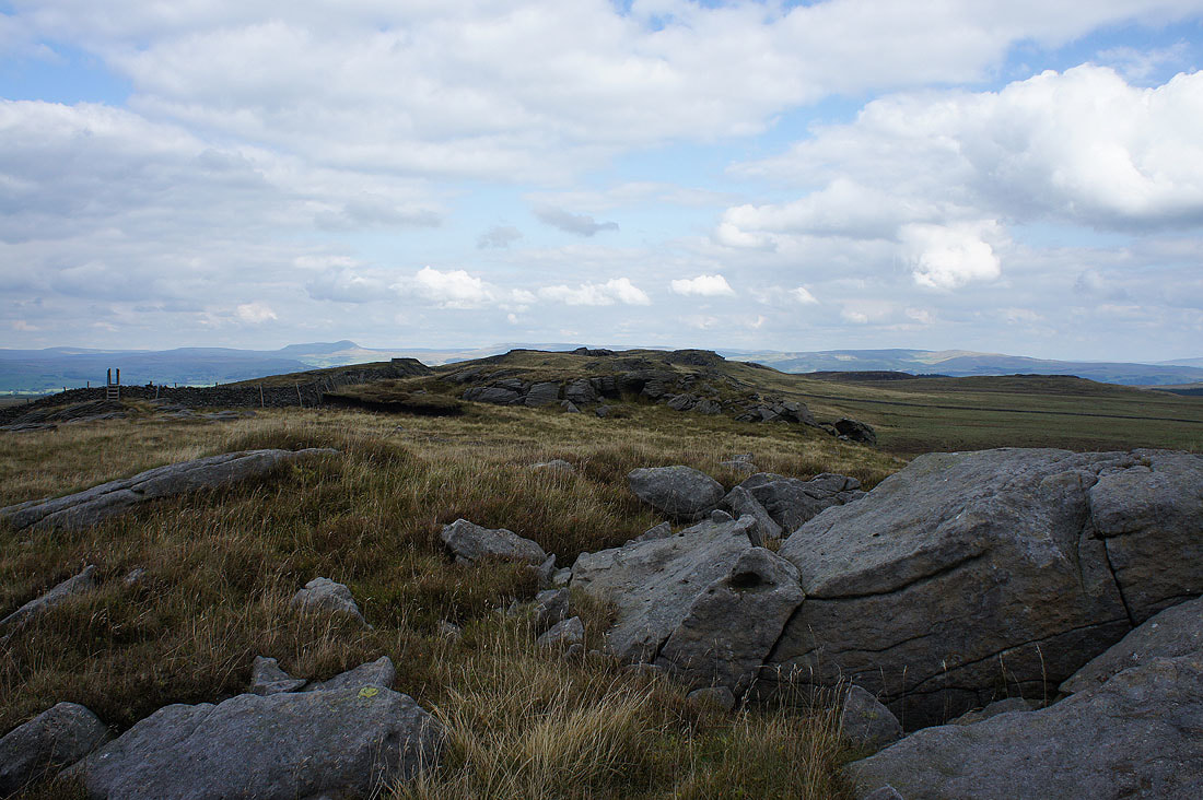
Leaving the trig point behind..
..to look back along the rocky crest of Whelp Stone Crag
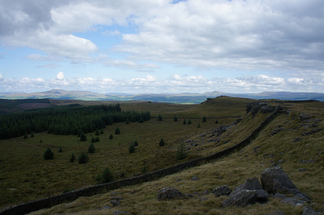
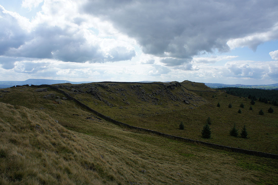
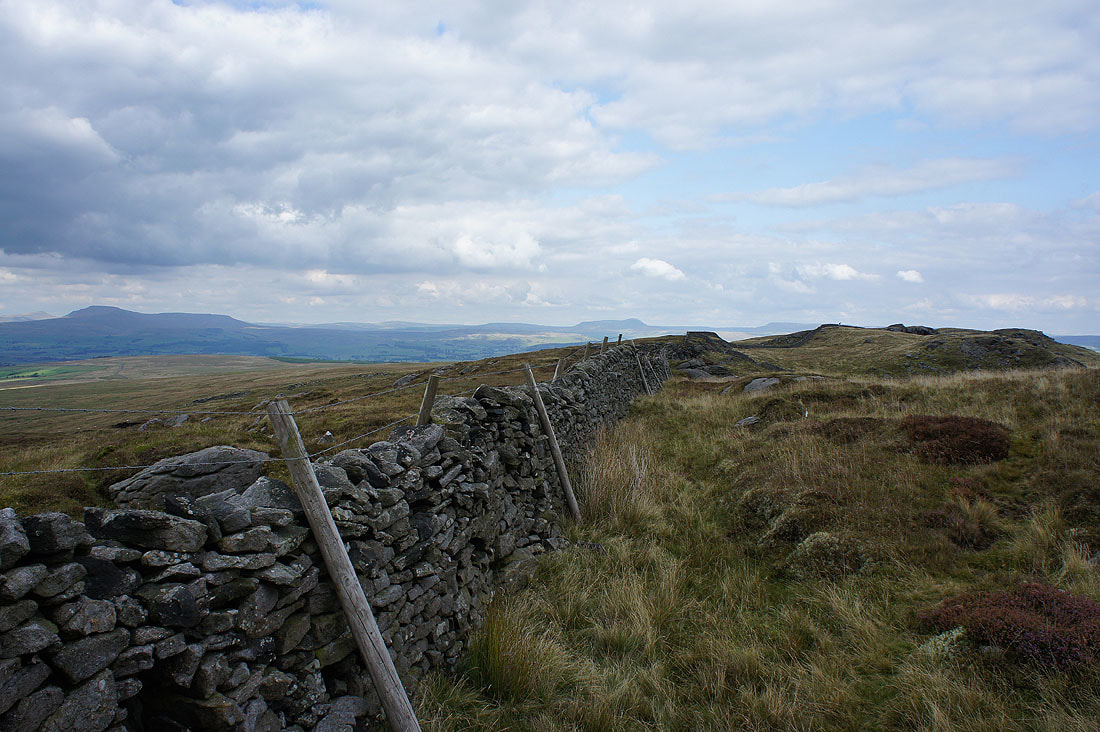
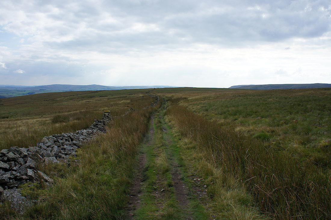
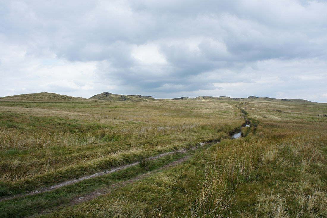
Ingleborough and Penyghent ahead of me as I follow the forest boundary north across Gisburn Common..
..to Resting Stone
Looking back to Whelp Stone Crag from Resting Stone
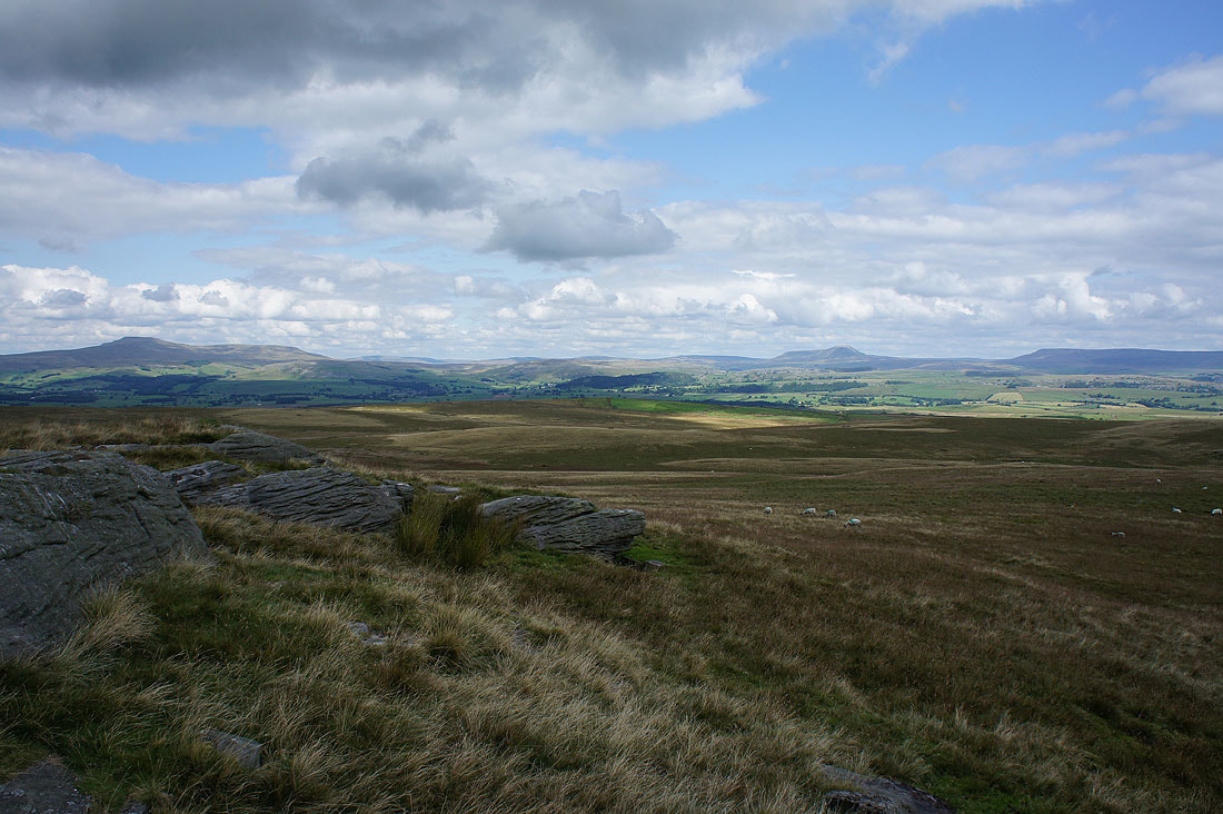
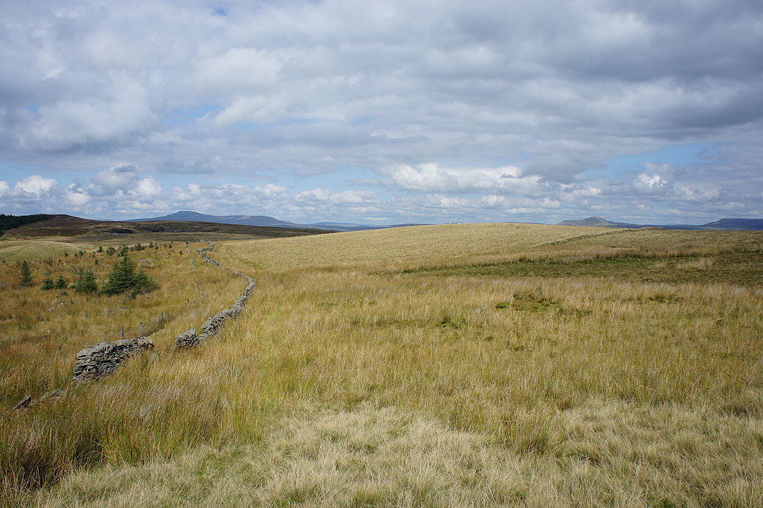
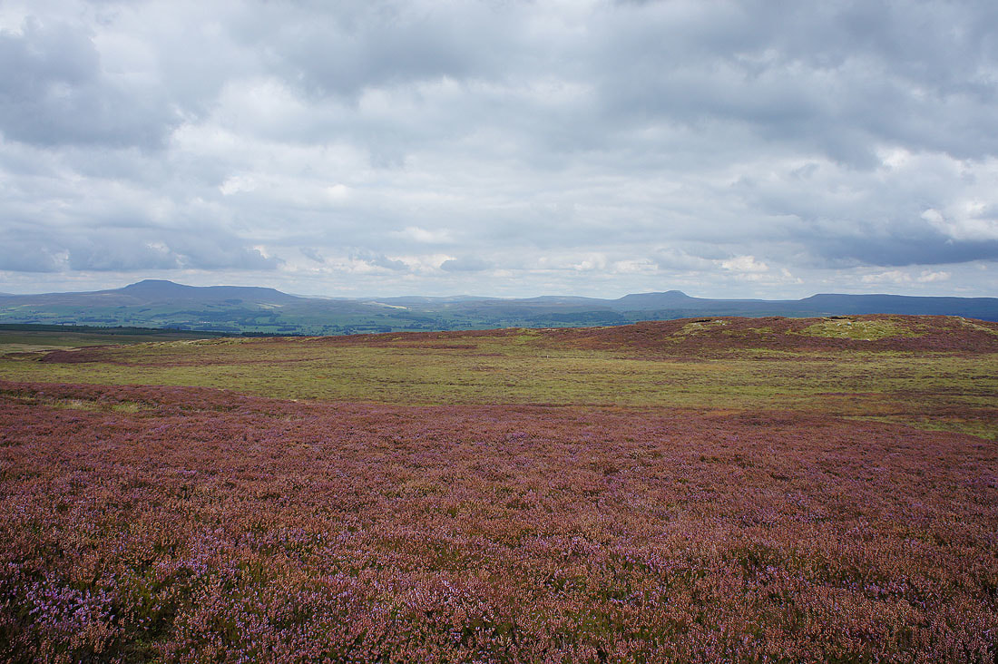
Ingleborough, Penyghent and Fountains Fell..
..round to Rye Loaf Hill
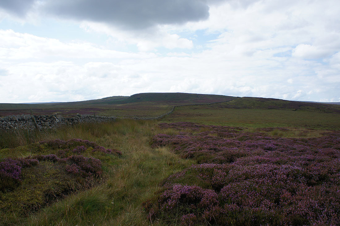
Bowland Knotts to the west
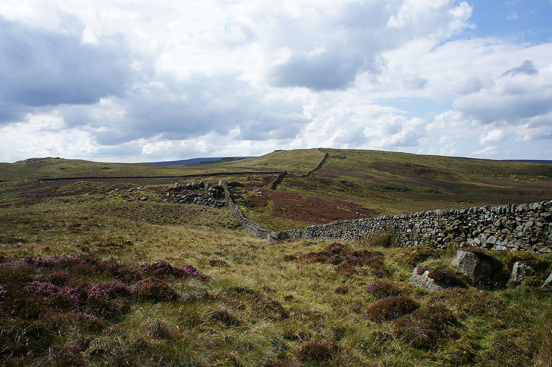
Parish boundary stone with L for Lawkland on this side and E for Easington on the other
Approaching Rock Cat Knott and Knotteranum
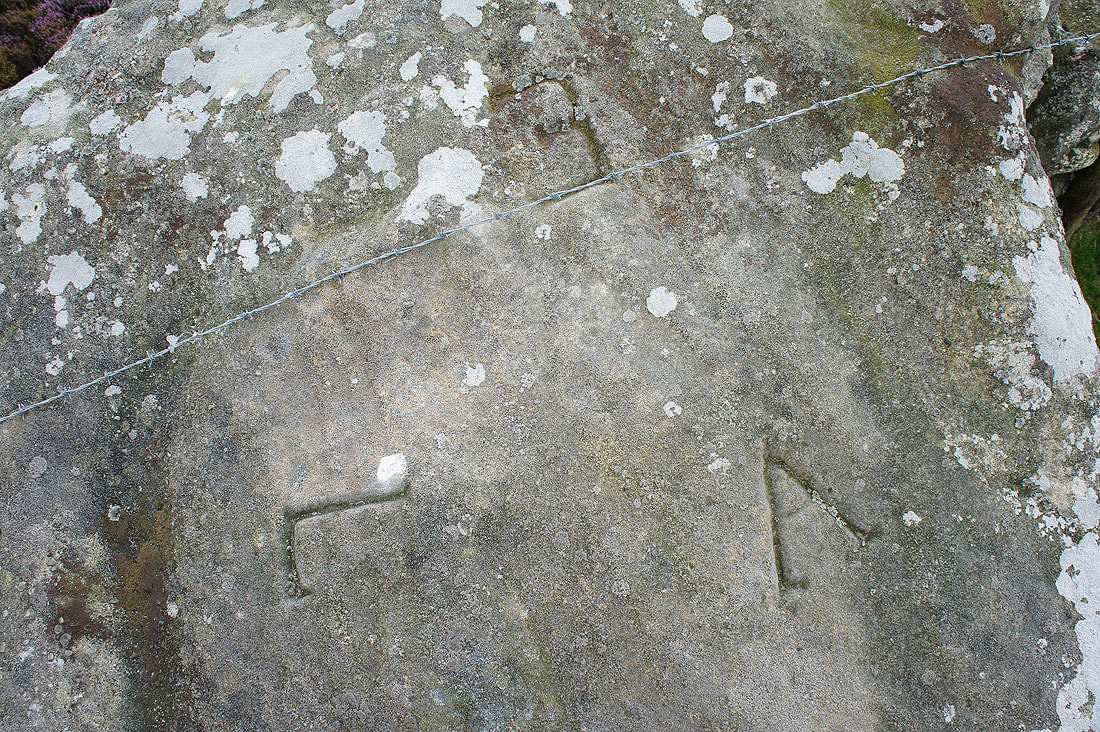
Rock Cat Knott marks the meeting of three parishes. A for Austwick joins the L and E.
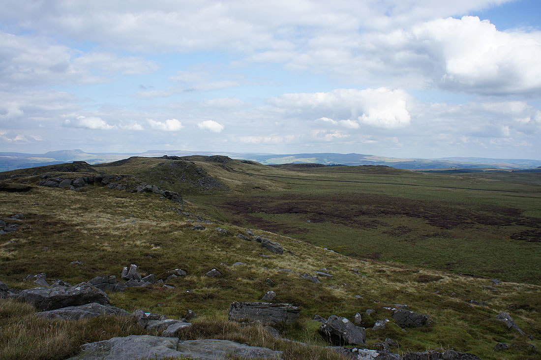
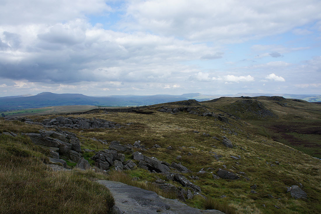
Whelp Stone Crag, Gisburn Forest and Pendle Hill from Rock Cat Knott
Ingleborough, Penyghent and Fountains Fell
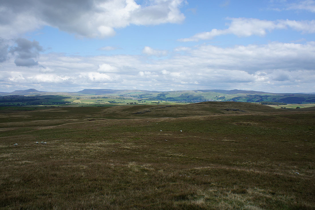
Green Knotts and Bowland Knotts from Knotteranum
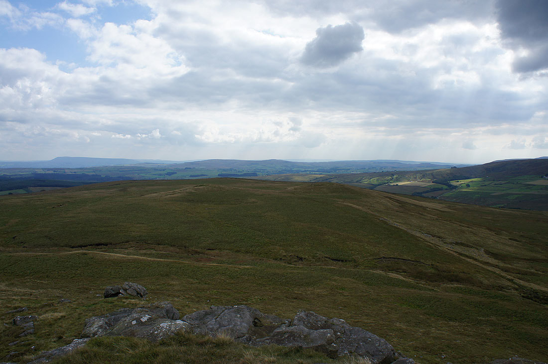
Gragareth, Great Coum and Ingleborough
Great Coum, Whernside, Ingleborough and Penyghent as I arrive on Bowland Knotts
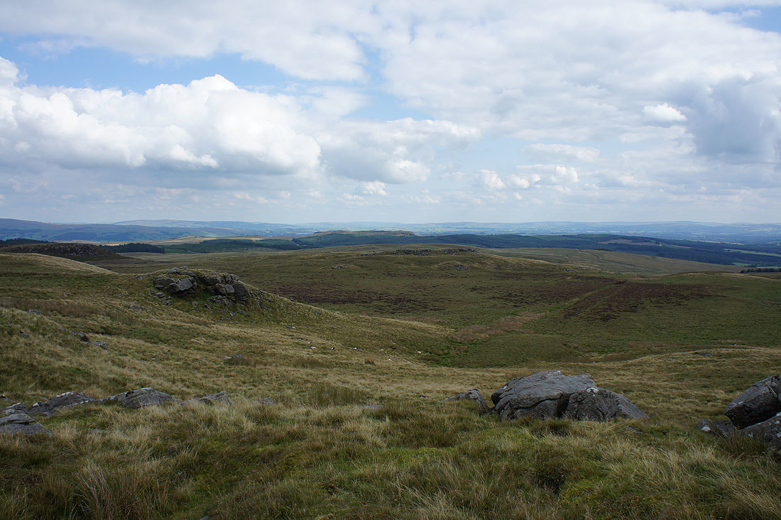
Whelp Stone Crag and Gisburn Forest
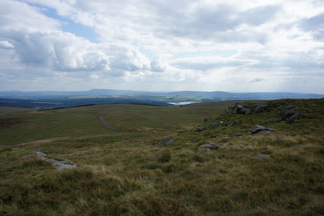
Pendle Hill and Stocks Reservoir
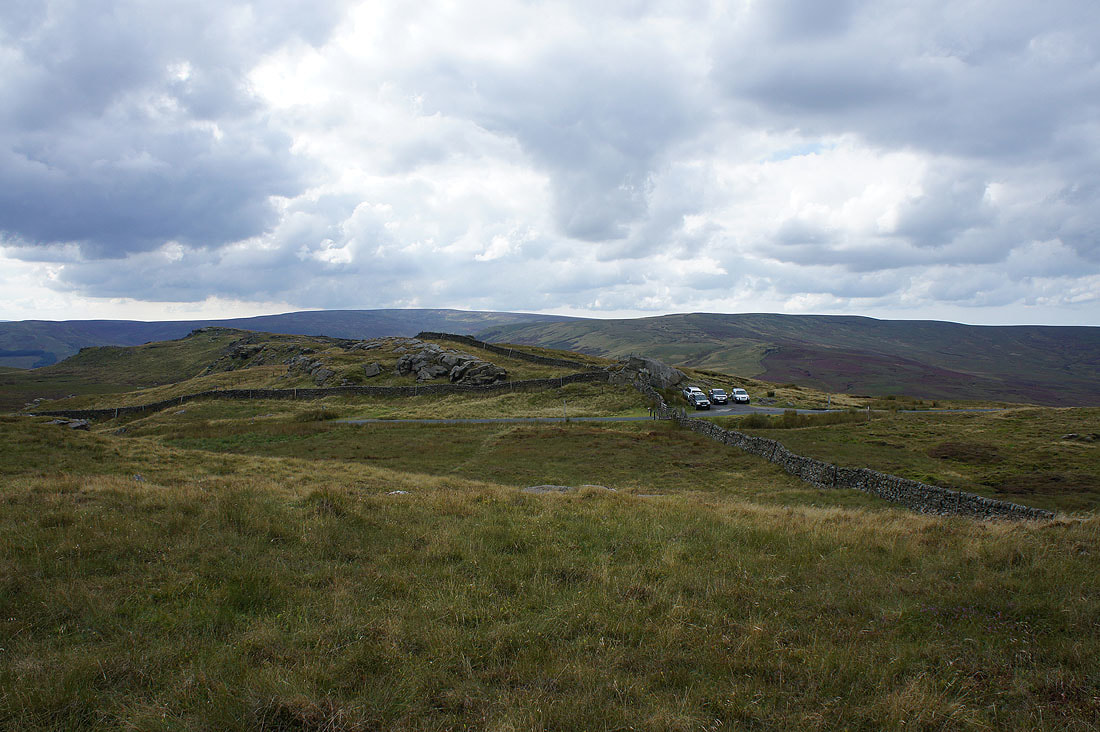
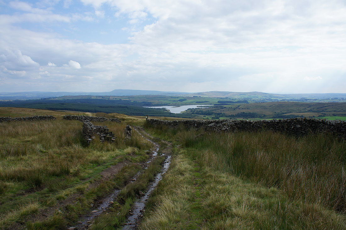
Looking across the Keasden Road to White Hill and Great Harlow. The trig point on Bowland Knotts is on the top of the crags on the left and that's where I'm heading now.
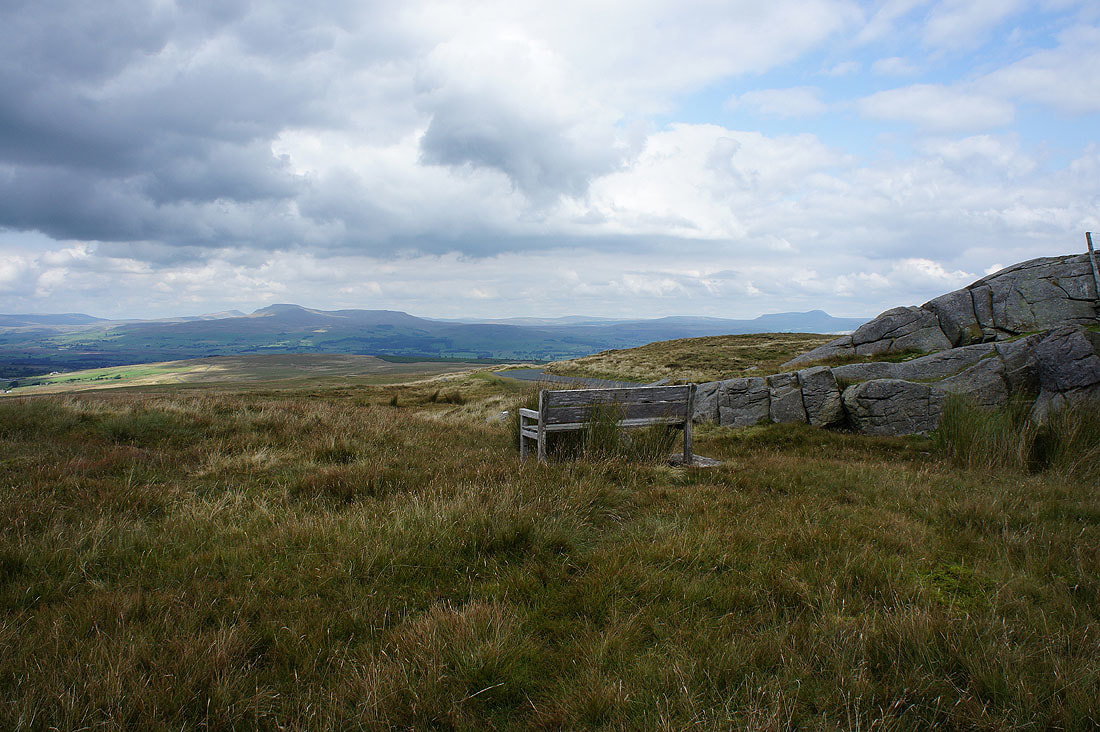
That bench has some view
Great views of crags and boulders as I approach..
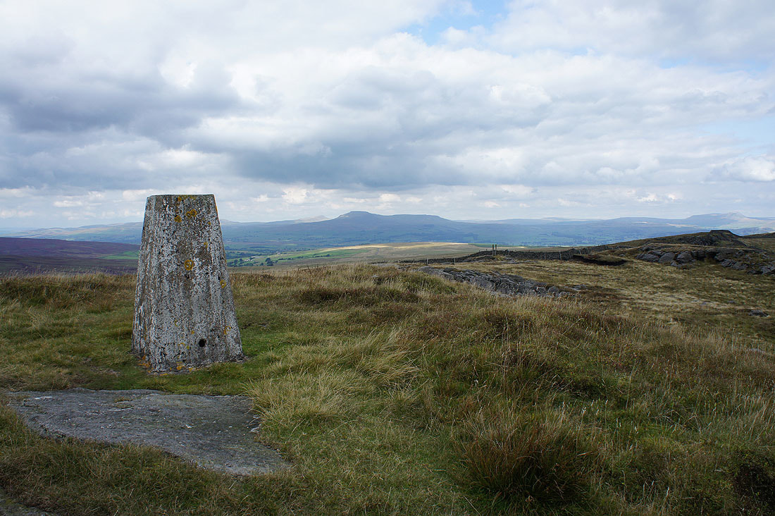
..the trig point on Bowland Knotts
Ingleborough from Bowland Knotts
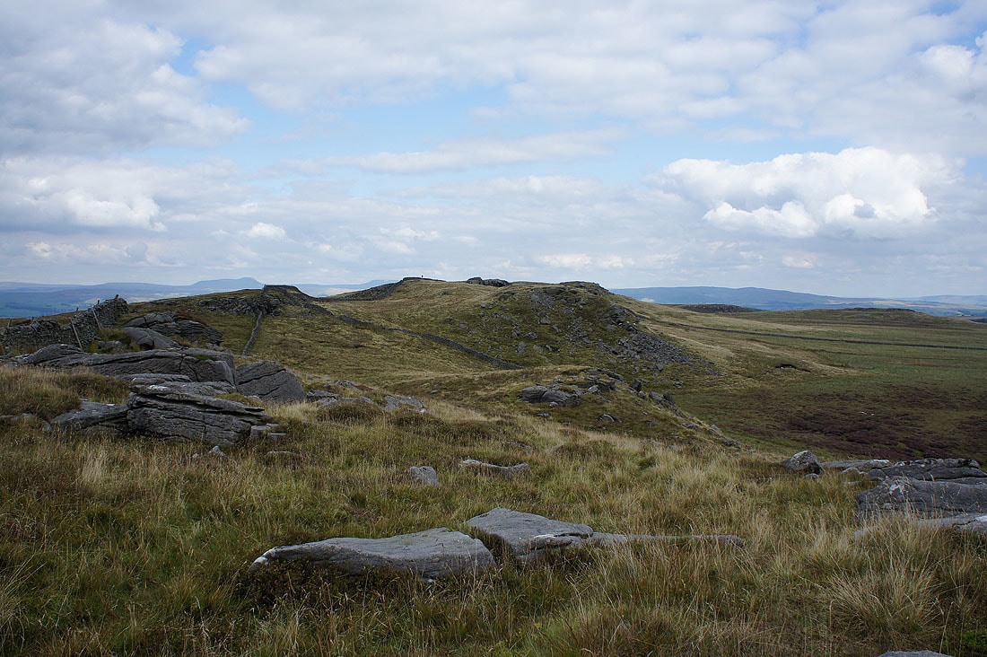
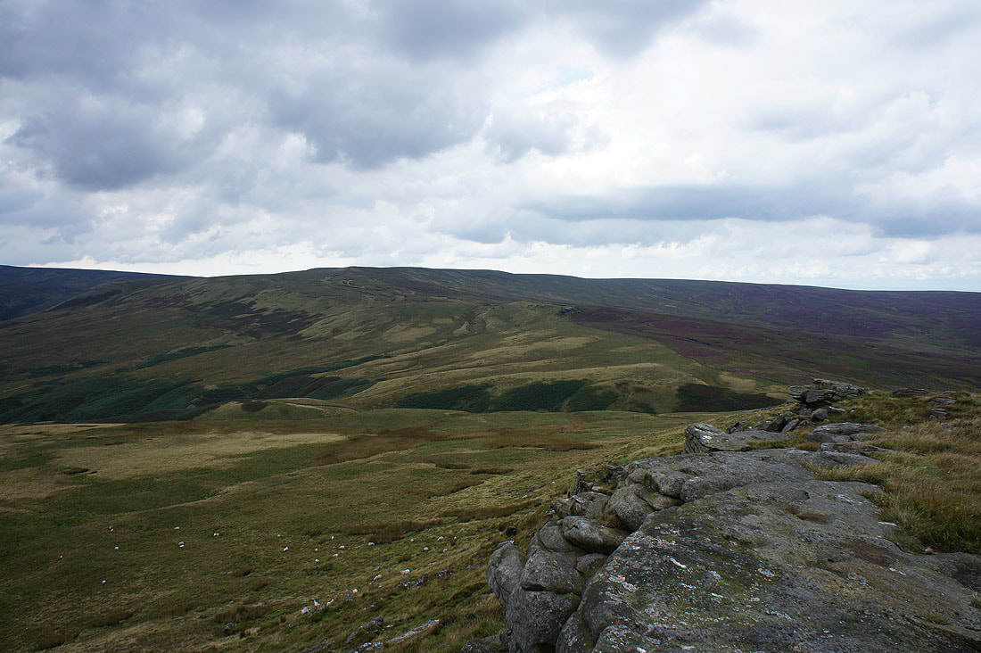
Looking east along the crags to Penyghent, Fountains Fell and Rye Loaf Hill in the distance
Pendle Hill and Easington Fell
Great Harlow and Cold Stone to the west
I couldn't resist taking a few more photos as I made by way back out to the road...
Once back to the Keasden Road I took this footpath across Old Moss
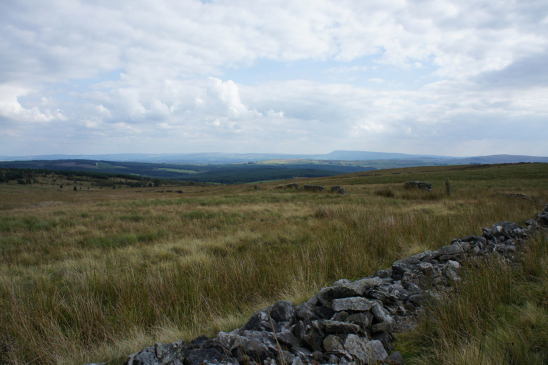
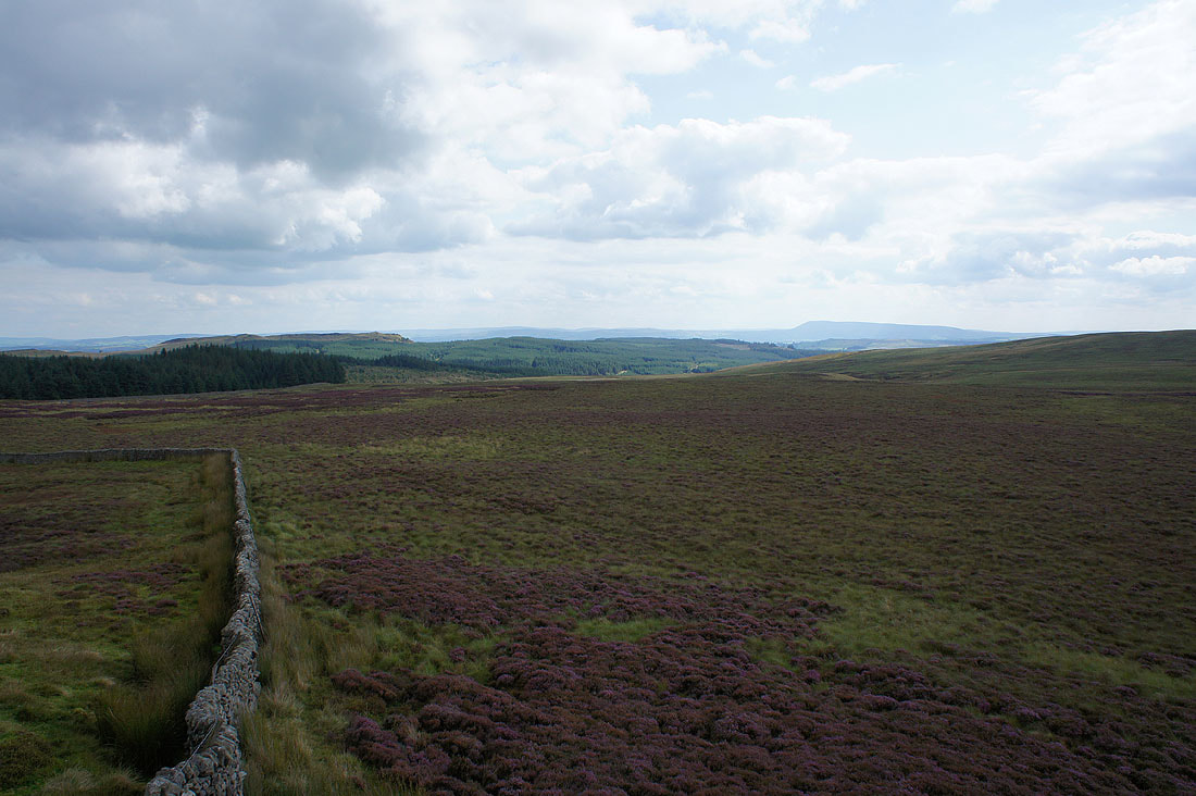
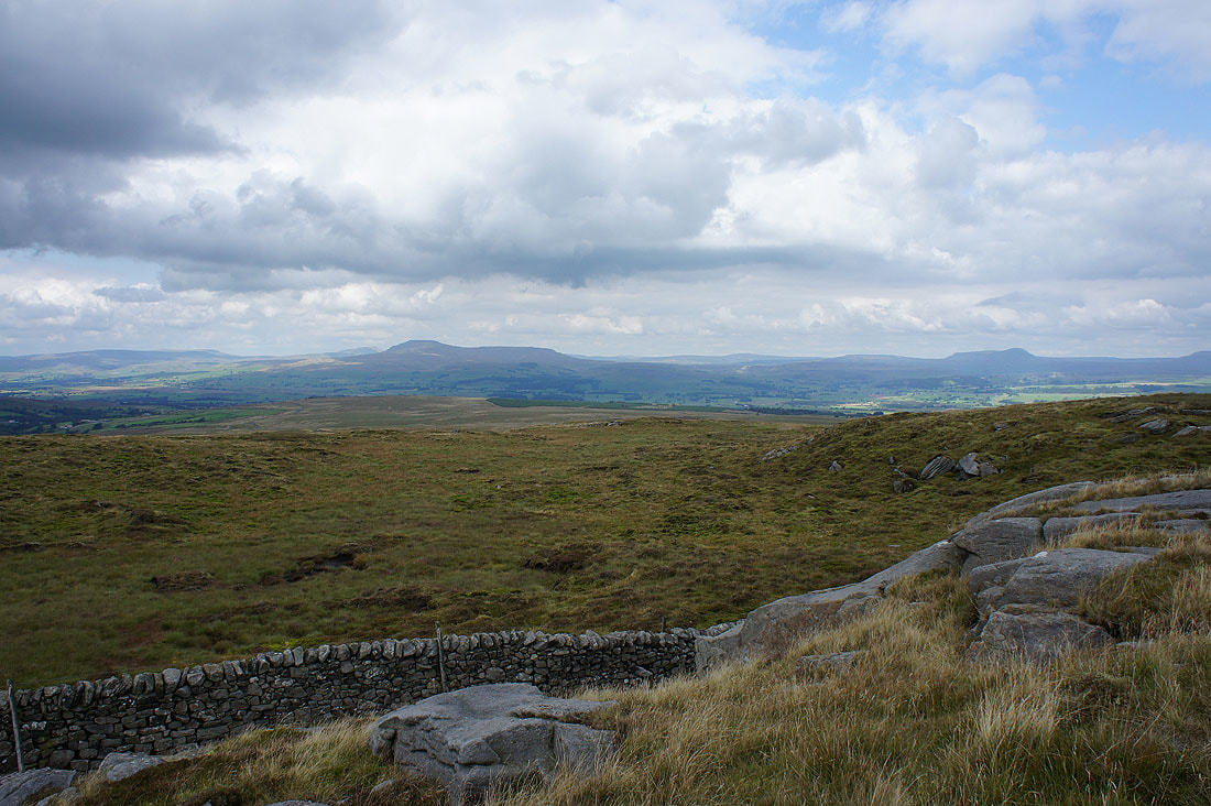
Gisburn Forest and Pendle Hill
Looking back to Bowland Knotts
Pendle Hill, Easington Fell and Stocks Reservoir as I reach the top of Pike Side
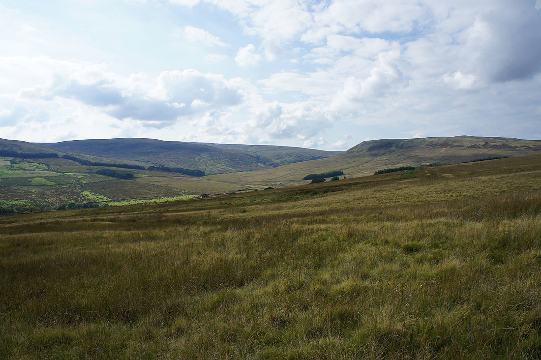
White Hill and Catlow Fell from Pike Side
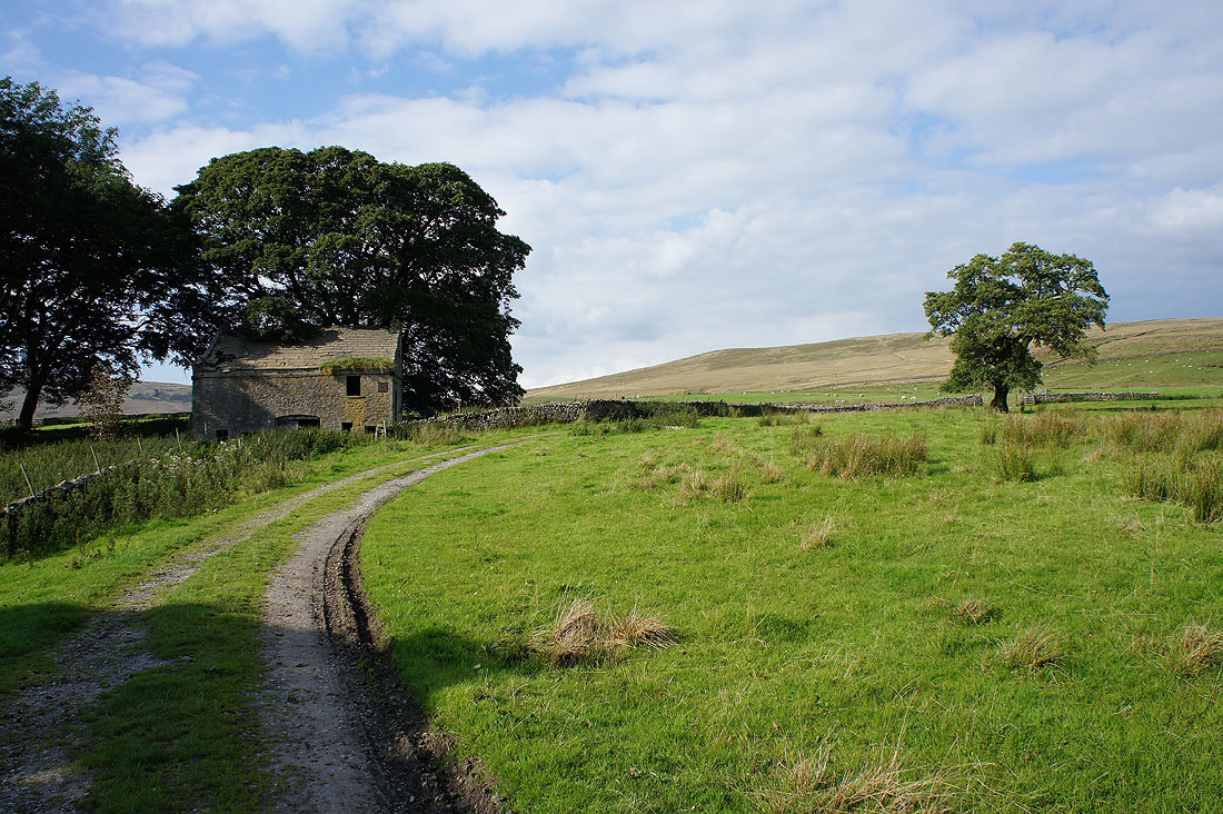
The footpath passes the barn of New House which doesn't look so new any more
Heading for Stocks Reservoir
A last opportunity for a photo of blue skies above the open fell
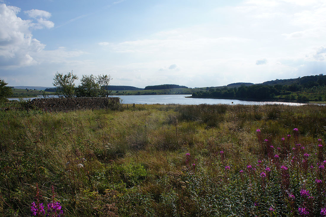
Stocks Reservoir from the path back to the car park