2nd September 2023 - Twiston Moor and Pendle Hill
Walk Details
Distance walked: 14.1 miles
Total ascent: 2287 ft
OS map used: OL41 - Forest of Bowland & Ribblesdale
Time taken: 7.5 hrs
Route description: Downham-Twiston-Smithy Fold-Twiston Moor-Black Moss Road-Lower Black Moss Reservoir-Barley-Barley Fold-Newchurch in Pendle-Pendle Way-Saddlers Height-Driver Height-Spence Moor-Deerstones-Mearley Moor-Worston Moor-Downham Moor-Pendle Hill-Downham Moor-Pendle Road-Downham
I first walked from Downham across Twiston Moor to Barley and then back across Pendle Hill earlier this year. Having really enjoyed it I've decided to do that route again for my first walk of this weekend, but with a bit of a change to make the most of the good weather and stay up on the moors as much as possible. Instead of walking up Ogden Clough to the top of Pendle Hill from Barley I took to the moors to the west of Newchurch-in-Pendle and Ogden Clough, which meant that I actually got to walk on some new territory and also take in the views from the western side of Pendle Hill. I had some fine early autumn weather for this walk, with mixture of warm sunny spells, patchy cloud, and good visibility, although a bit of haze restricted long distance views.
From the car park in Downham I made my way to Pendle Road and then along Town End Road to take a footpath east across fields to Twiston Beck, then up to Hill Foot Farm and the hamlet of Twiston. After a brief walk south along the road through Twiston I turned left and took the lane to Smithy Fold, then from the end of the lane a track up onto Twiston Moor. I then made my way south across Twiston Moor using a walled track and footpath to a stile in the wall at the southern end of the moor, which after crossing I turned right and followed the footpath to Black Moss Road. There was then a brief walk west along Black Moss Road to take a permissive path on the left down to Lower Black Moss Reservoir, and from there I walked down a track from the reservoir to the village of Barley. After a break for lunch in Barley I briefly walked south up Cross Lane to take a bridleway on the left at Bridge End, then a footpath on the right up a field to Barley Fold and along a track to Cross Lane, which I walked down into Newchurch-in-Pendle. I left Newchurch-in-Pendle by taking the Pendle Way west up onto Saddlers Height, but the trail was soon left as I kept to the moorland by following the footpath west across Driver Height, up and across Spence Moor, and to Deerstones. Once I'd taken in the view from Deerstones I made my way north, crossing the path to Ogden Clough, taking the path across Howcroft Brook and up onto Mearley Moor. I then followed the wall north towards the Scout Cairn on the top of Worston Moor, onwards over Downham Moor and to the trig point and summit. After taking in the view I made my way back to Downham Moor to take the footpath down to Pendle Road. I then took the footpath opposite that makes its way across fields to head back to Downham.
Total ascent: 2287 ft
OS map used: OL41 - Forest of Bowland & Ribblesdale
Time taken: 7.5 hrs
Route description: Downham-Twiston-Smithy Fold-Twiston Moor-Black Moss Road-Lower Black Moss Reservoir-Barley-Barley Fold-Newchurch in Pendle-Pendle Way-Saddlers Height-Driver Height-Spence Moor-Deerstones-Mearley Moor-Worston Moor-Downham Moor-Pendle Hill-Downham Moor-Pendle Road-Downham
I first walked from Downham across Twiston Moor to Barley and then back across Pendle Hill earlier this year. Having really enjoyed it I've decided to do that route again for my first walk of this weekend, but with a bit of a change to make the most of the good weather and stay up on the moors as much as possible. Instead of walking up Ogden Clough to the top of Pendle Hill from Barley I took to the moors to the west of Newchurch-in-Pendle and Ogden Clough, which meant that I actually got to walk on some new territory and also take in the views from the western side of Pendle Hill. I had some fine early autumn weather for this walk, with mixture of warm sunny spells, patchy cloud, and good visibility, although a bit of haze restricted long distance views.
From the car park in Downham I made my way to Pendle Road and then along Town End Road to take a footpath east across fields to Twiston Beck, then up to Hill Foot Farm and the hamlet of Twiston. After a brief walk south along the road through Twiston I turned left and took the lane to Smithy Fold, then from the end of the lane a track up onto Twiston Moor. I then made my way south across Twiston Moor using a walled track and footpath to a stile in the wall at the southern end of the moor, which after crossing I turned right and followed the footpath to Black Moss Road. There was then a brief walk west along Black Moss Road to take a permissive path on the left down to Lower Black Moss Reservoir, and from there I walked down a track from the reservoir to the village of Barley. After a break for lunch in Barley I briefly walked south up Cross Lane to take a bridleway on the left at Bridge End, then a footpath on the right up a field to Barley Fold and along a track to Cross Lane, which I walked down into Newchurch-in-Pendle. I left Newchurch-in-Pendle by taking the Pendle Way west up onto Saddlers Height, but the trail was soon left as I kept to the moorland by following the footpath west across Driver Height, up and across Spence Moor, and to Deerstones. Once I'd taken in the view from Deerstones I made my way north, crossing the path to Ogden Clough, taking the path across Howcroft Brook and up onto Mearley Moor. I then followed the wall north towards the Scout Cairn on the top of Worston Moor, onwards over Downham Moor and to the trig point and summit. After taking in the view I made my way back to Downham Moor to take the footpath down to Pendle Road. I then took the footpath opposite that makes its way across fields to head back to Downham.
Route map
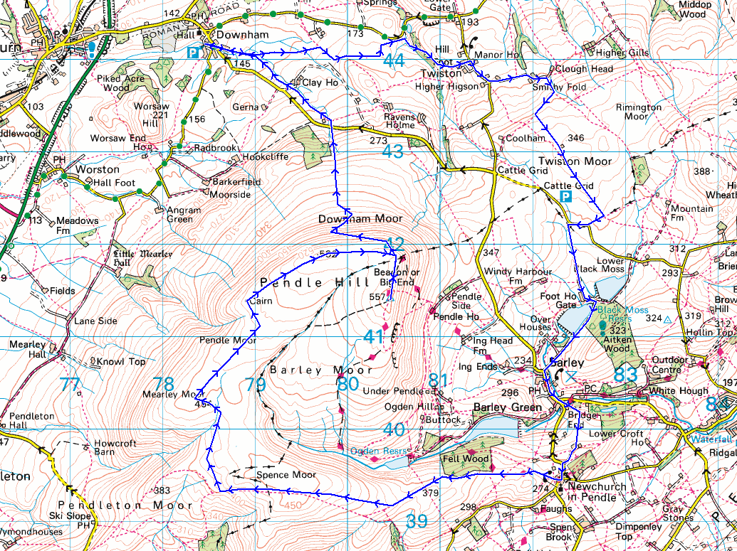
© Crown copyright. All rights reserved. License number PU 100034184.
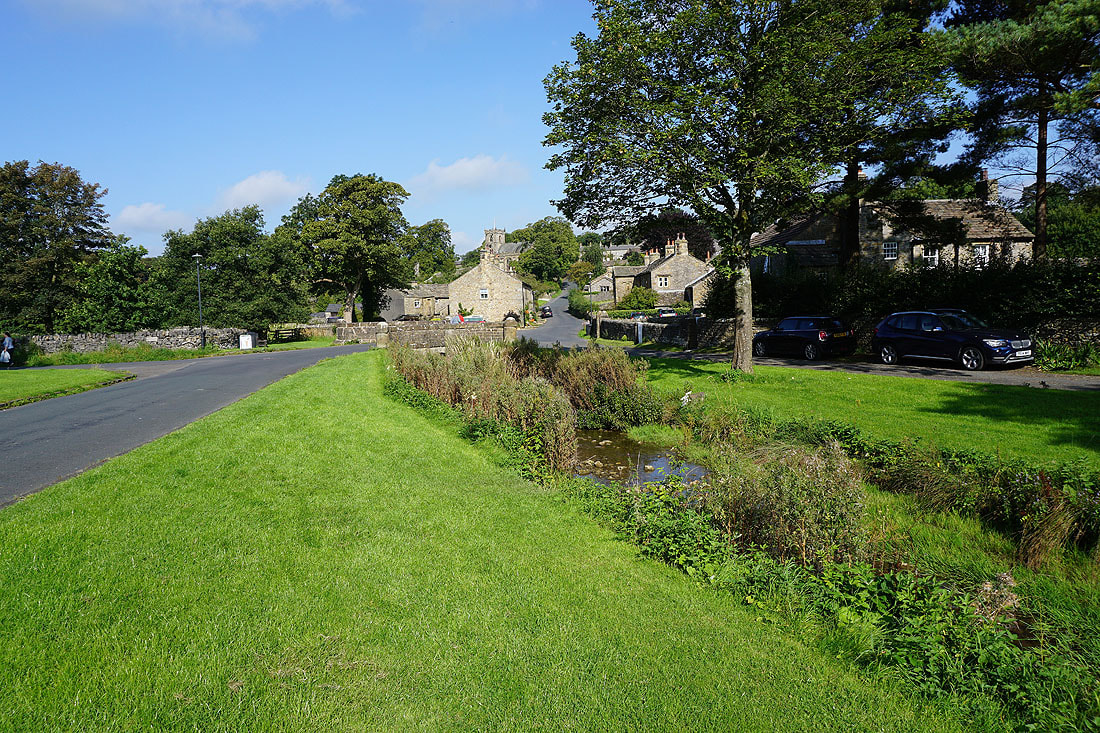
It's a beautiful morning as I set off from the village of Downham

Leaving Downham beside Downham Beck
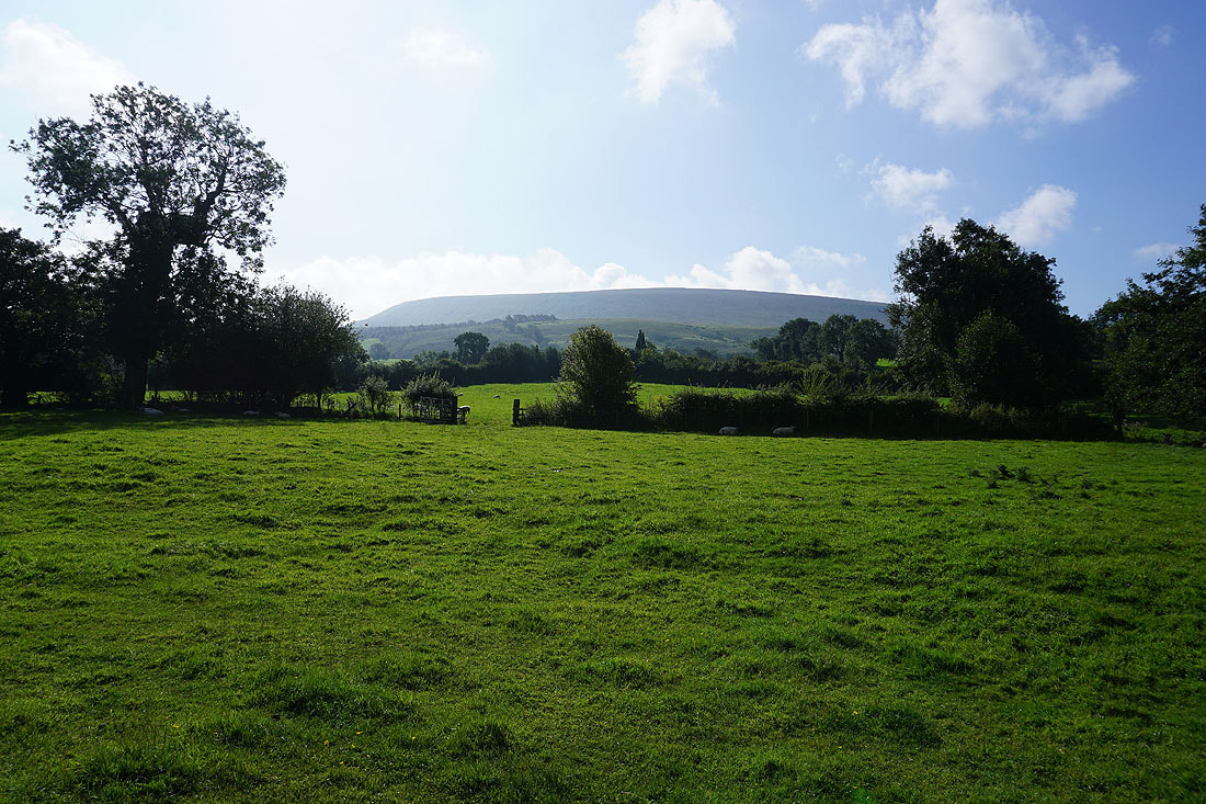
Pendle Hill rises to my right
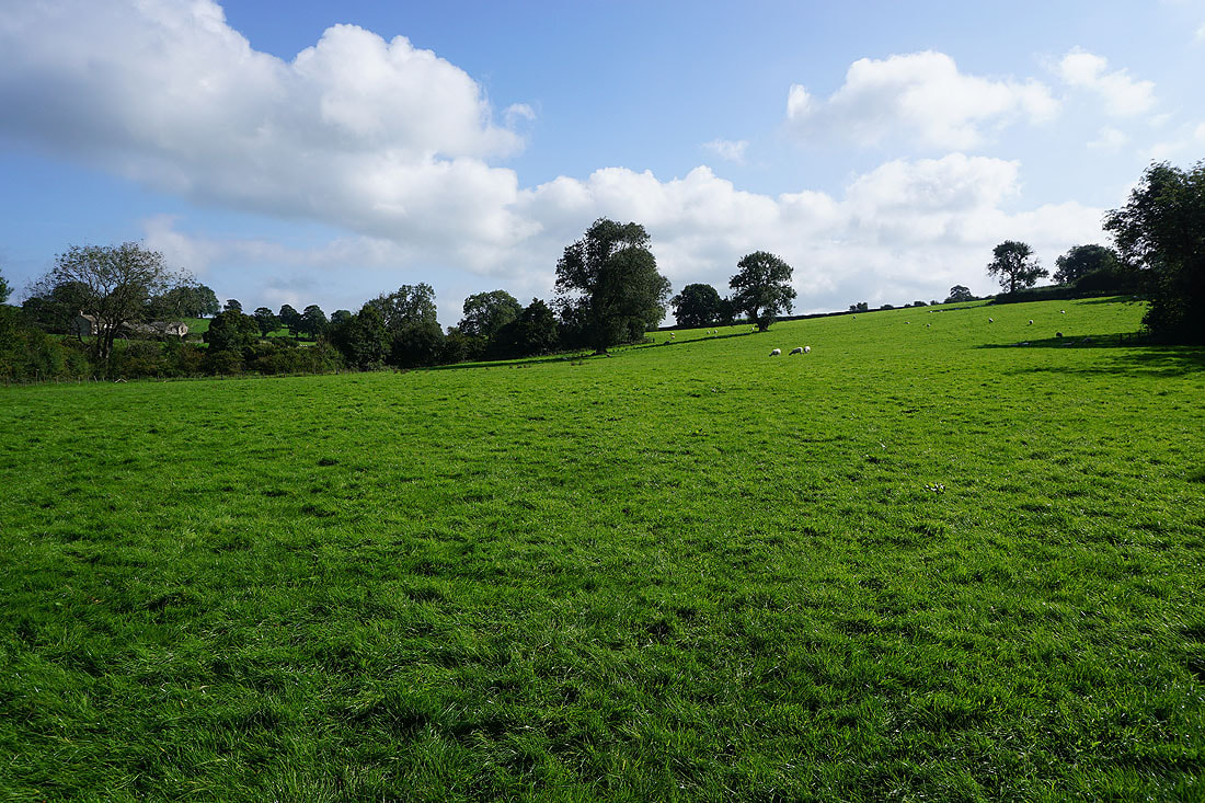
Heading east across fields towards Twiston
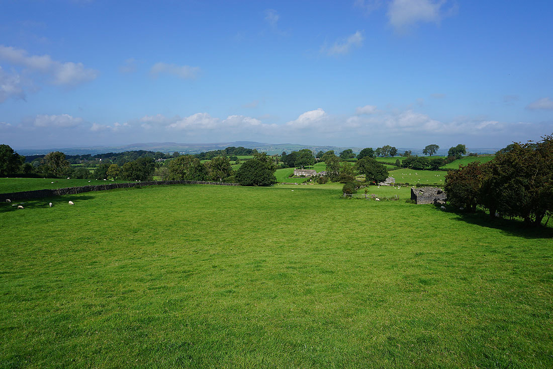
To my left, Easington Fell on the other side of the Ribble Valley

On the footpath down to and across Twiston Beck, then up to Twiston...
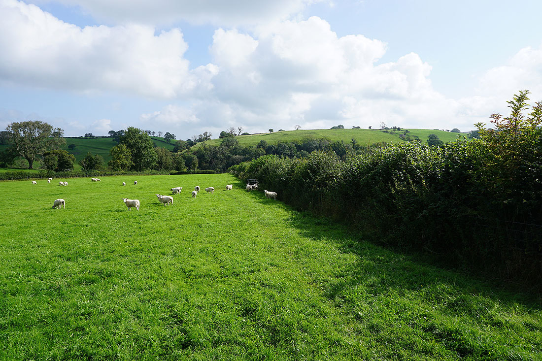
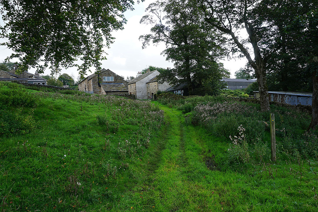

Looking south across the valley of Twiston Beck to Pendle Hill
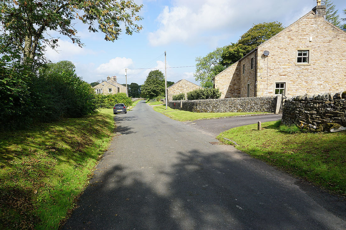
In the hamlet of Twiston
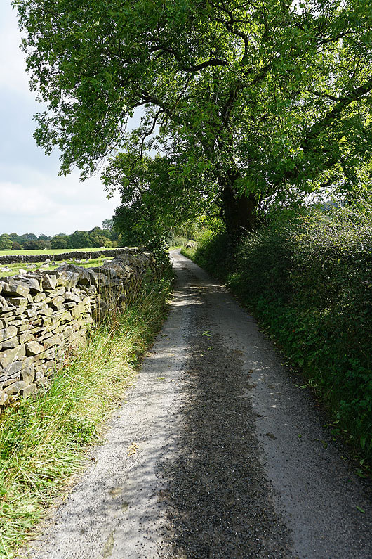
From Twiston I walk along the lane to Smithy Fold
|
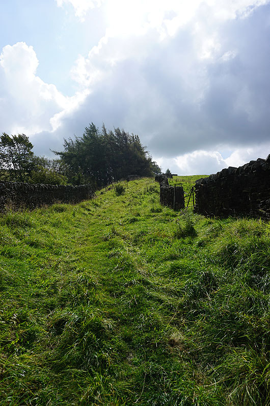
Then up the footpath onto Twiston Moor
|
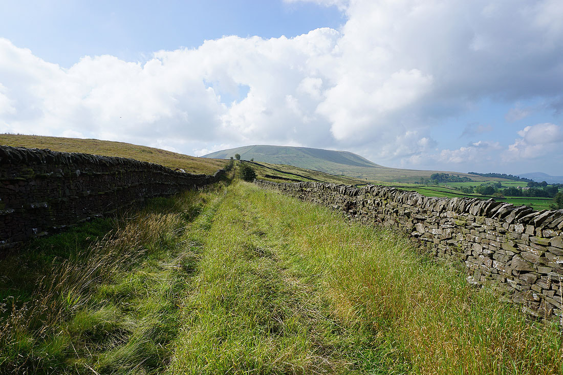
Pendle Hill ahead as I follow the track up onto the moor
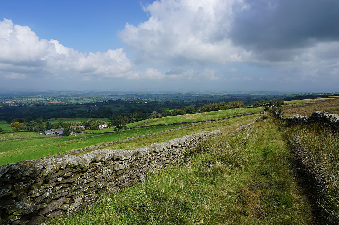
Looking back and it's a bit too hazy to really make out the moors above Settle and Malham in the distance
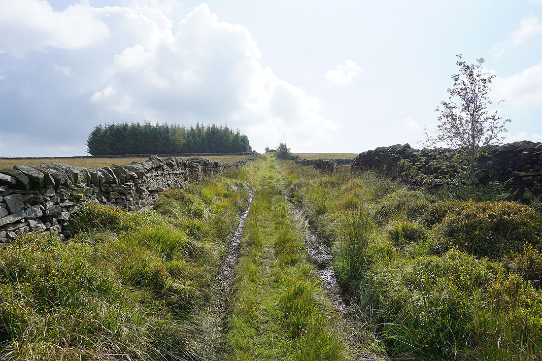
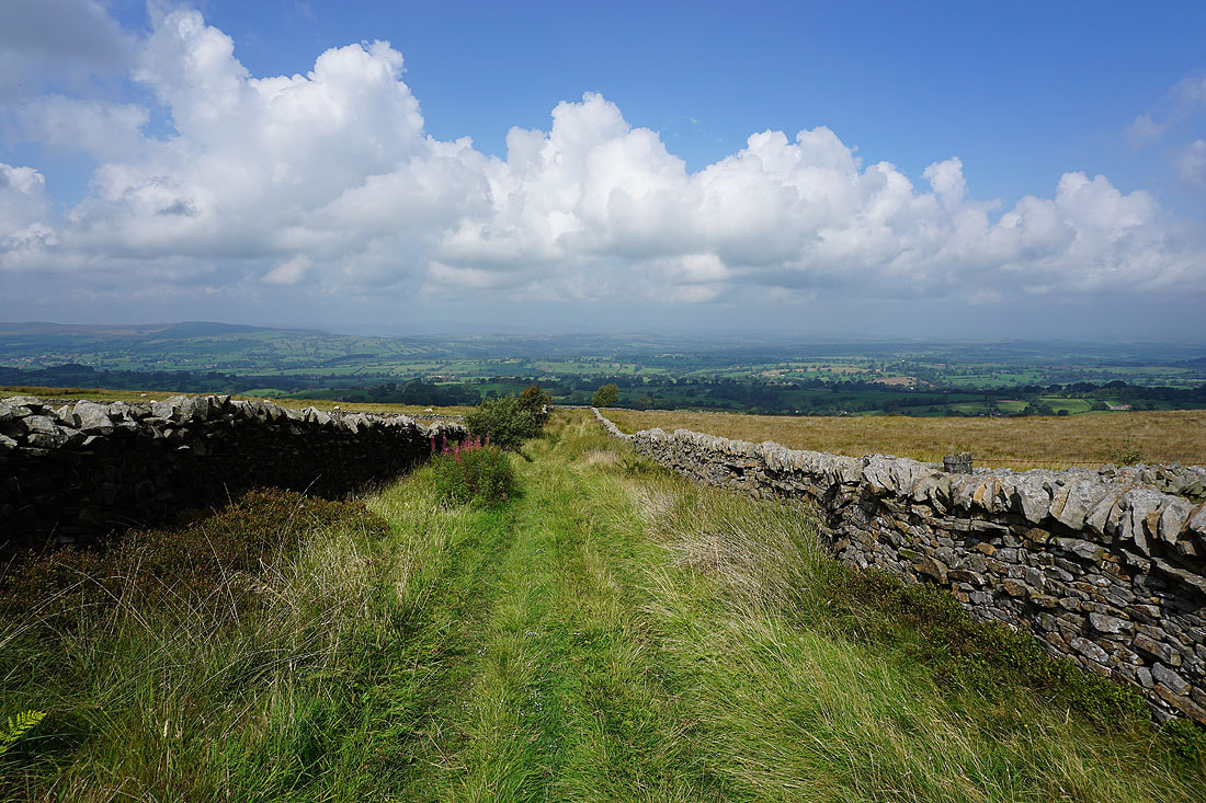
I take the walled track of an "occupation road" south across Twiston Moor, with views across the Ribble Valley behind me...
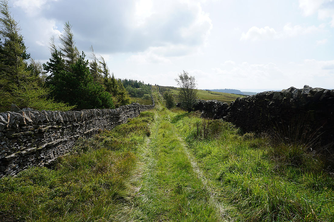
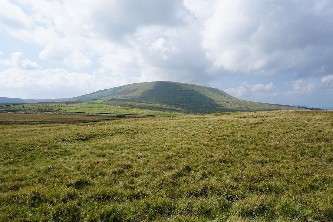
Pendle Hill looms large above Twiston Moor
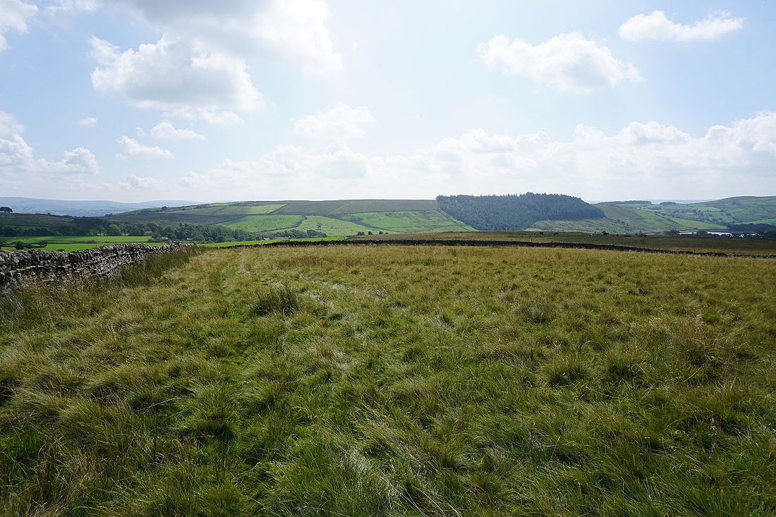
The walled track ends and I take the footpath to the southern end of Twiston Moor and out to Black Moss Road..

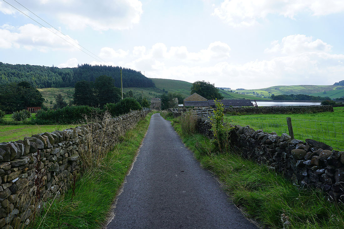
After a short walk west along Black Moss Road, I then follow a footpath and track down to Lower Black Moss Reservoir
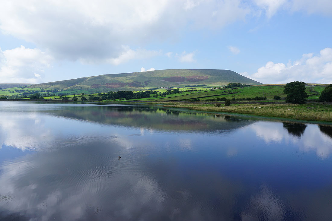
Pendle Hill from Lower Black Moss Reservoir
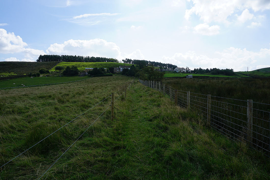
After a stop for lunch in Barley I take the footpath up to Barley Fold
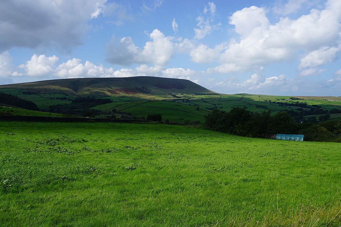
Pendle Hill from Barley Fold
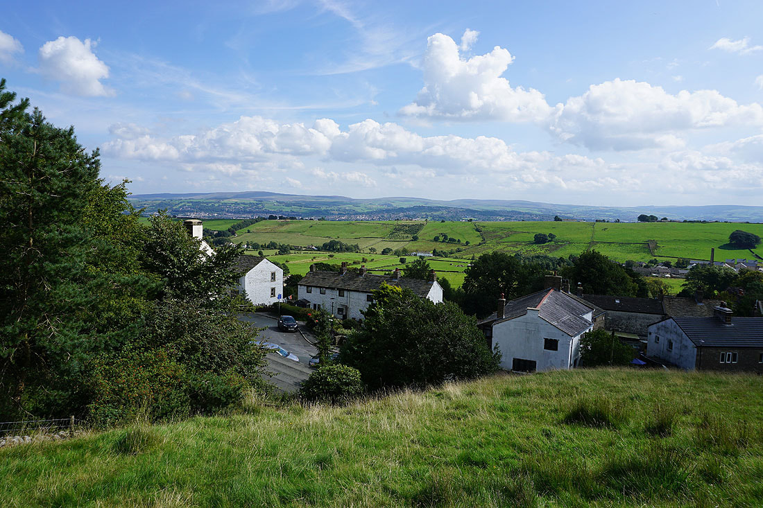
Newchurch-in-Pendle as I leave it behind by taking the Pendle Way
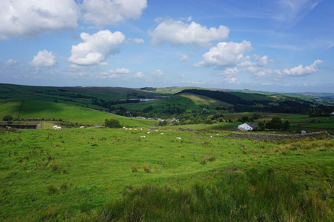
Barley, the Black Moss Reservoirs, and Stang Top Moor from Saddlers Height
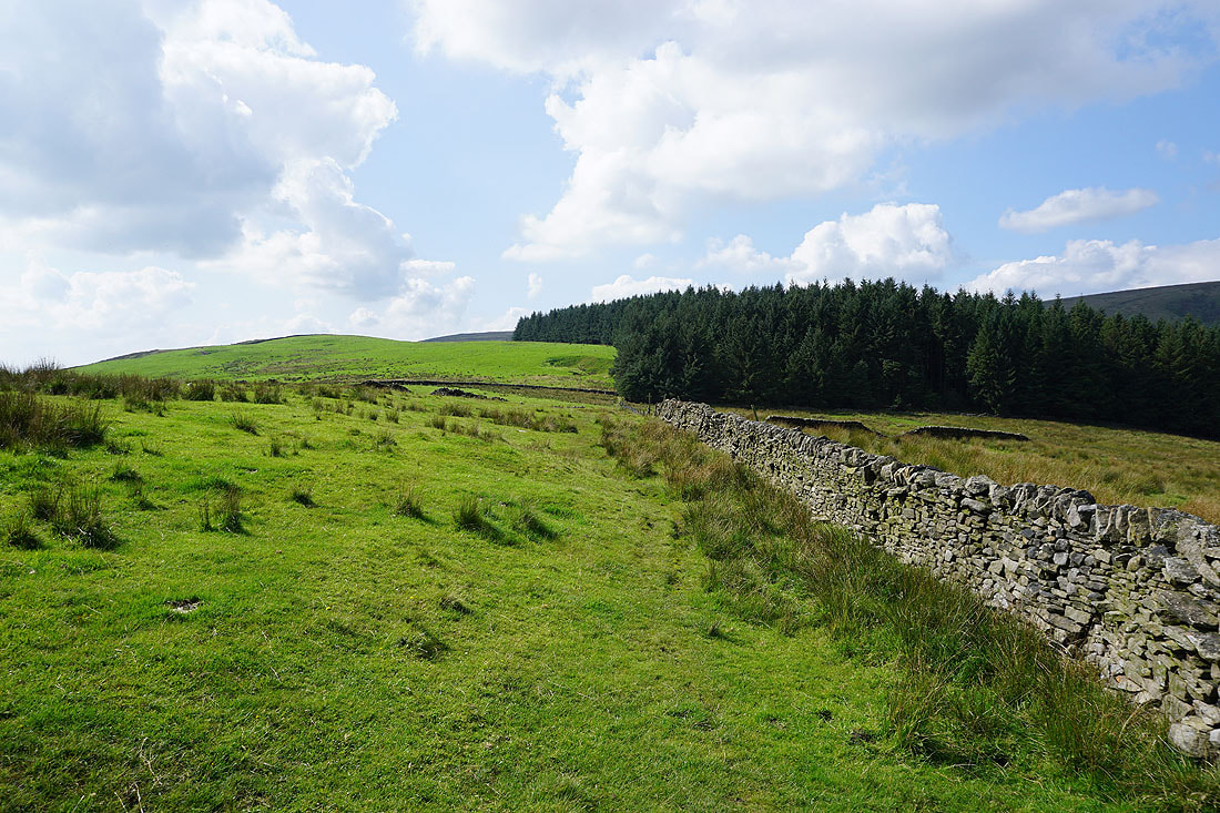
Heading west across Saddlers Height
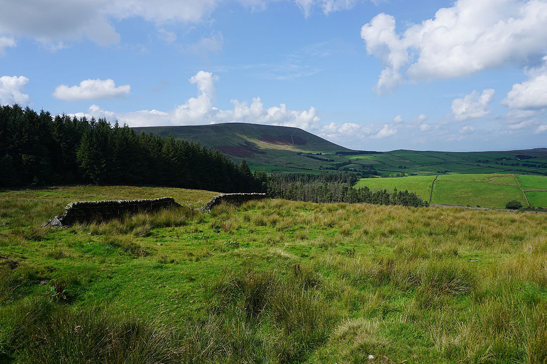
Pendle Hill to my right
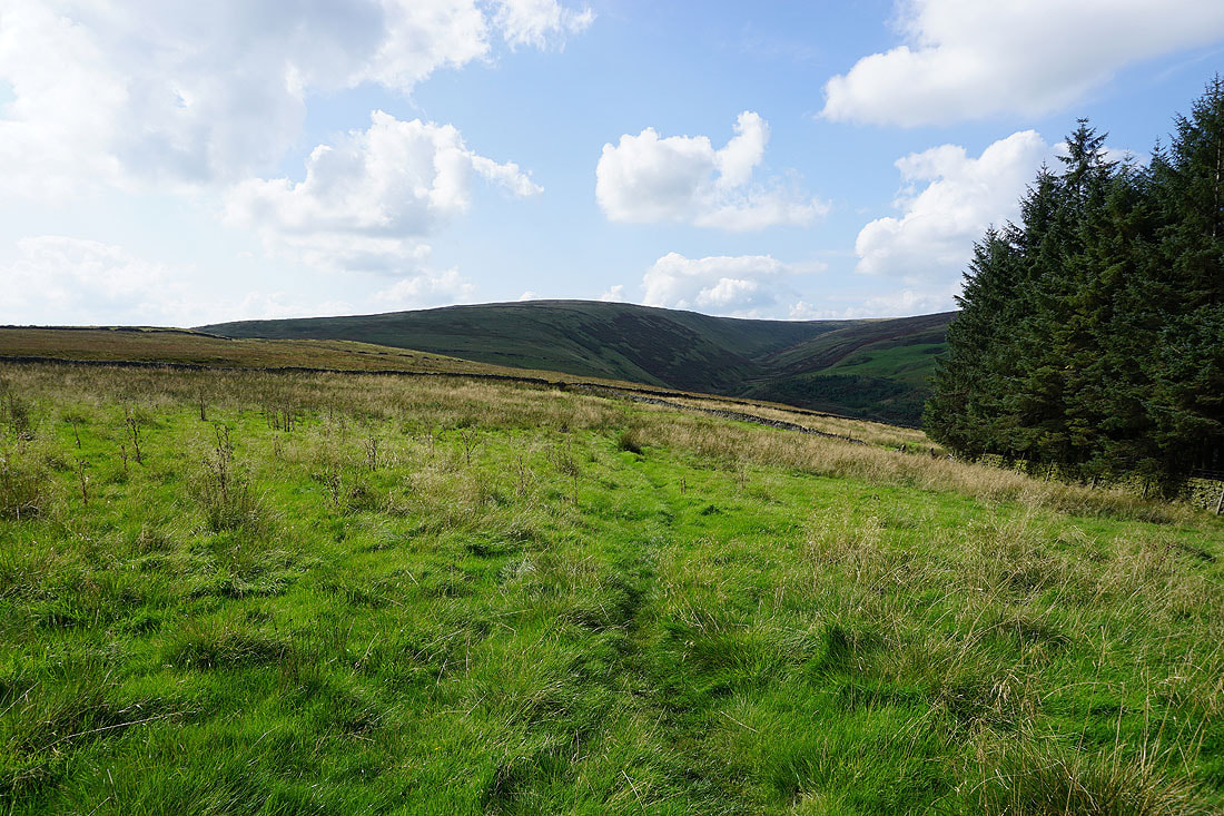
A bit further on and Ogden Clough comes into view
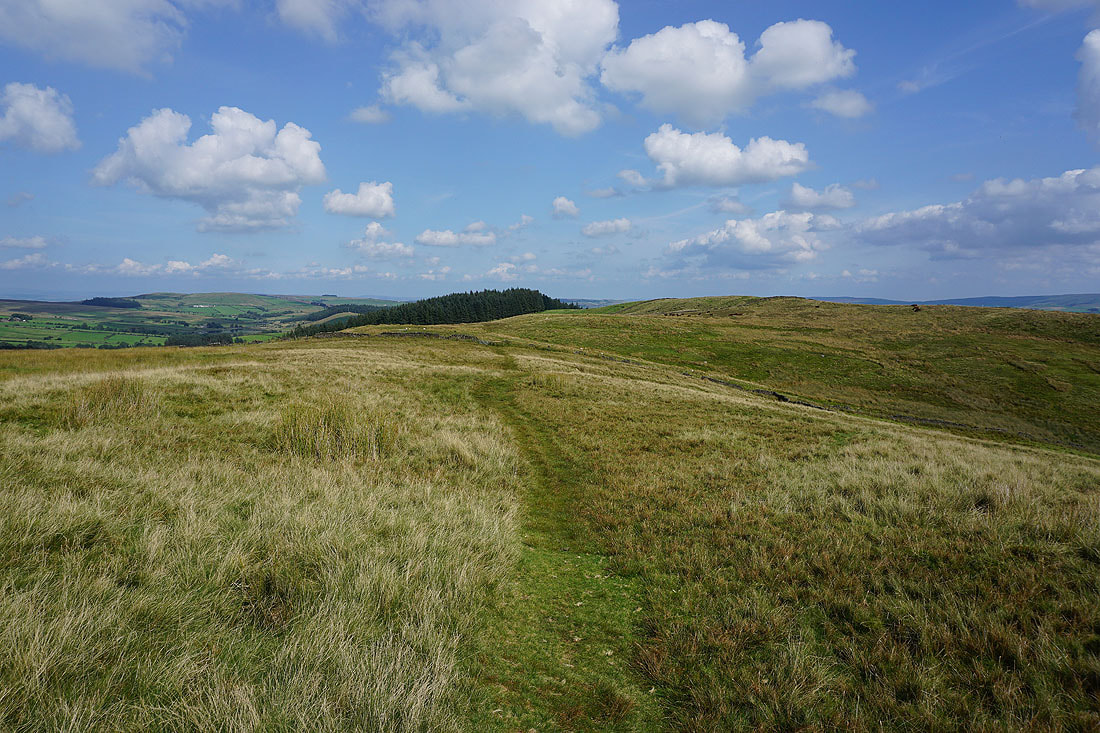
Looking back to Saddlers Height from Driver Height
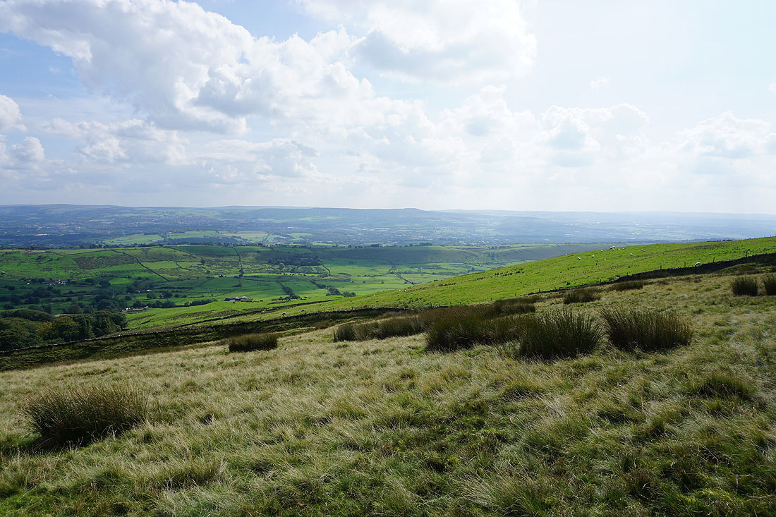
Views to the south and southeast to Great Hameldon above Accrington..
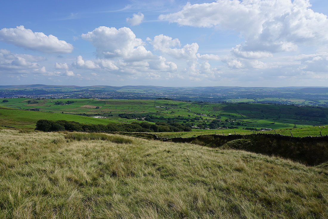
..and to Boulsworth Hill, Hoof Stones Height, and Thieveley Pike, above Colne, Nelson, and Burnley
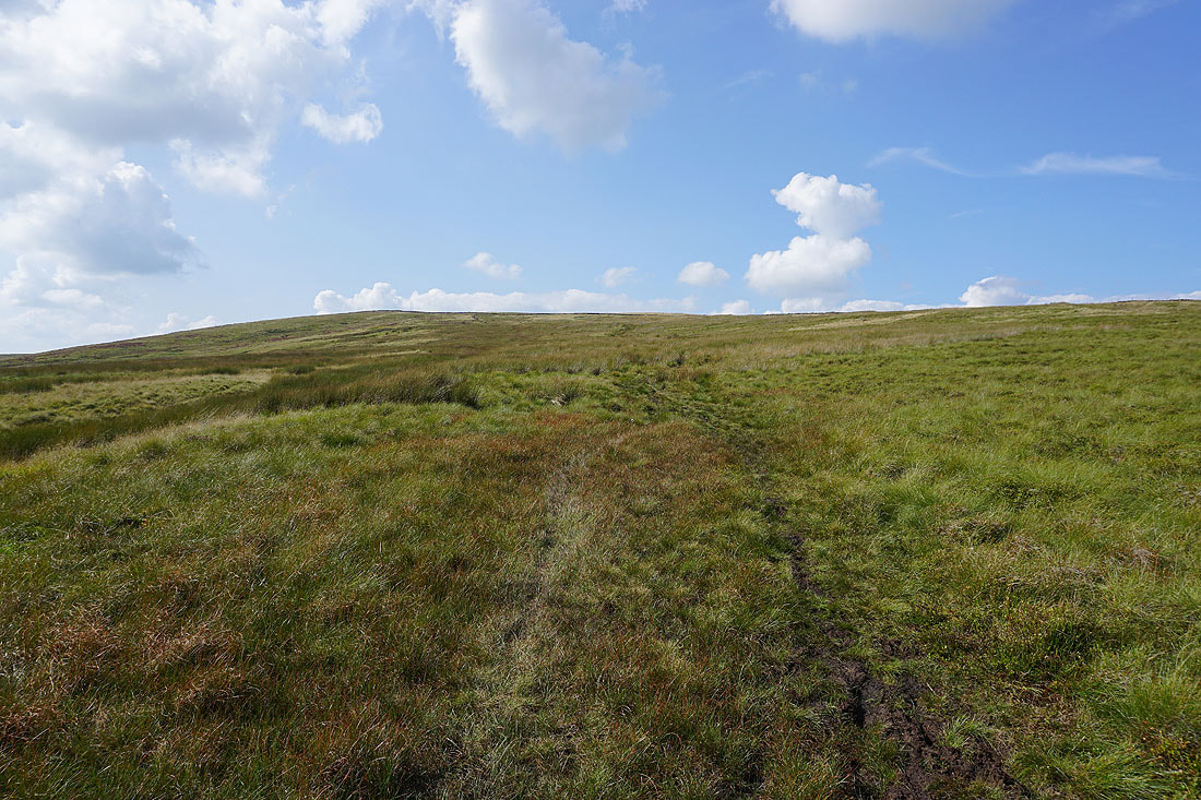
Boggy ground underfoot as I head up onto Spence Moor
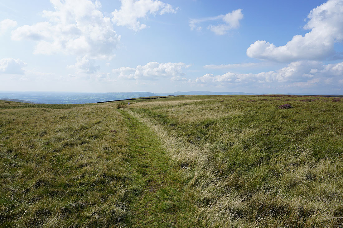
Crossing Spence Moor and the Forest of Bowland appears ahead
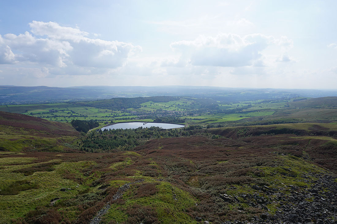
A short diversion to Deerstones to take in the view of Churn Clough Reservoir, Black Hill and Sabden, with the West Pennine Moors in the distance
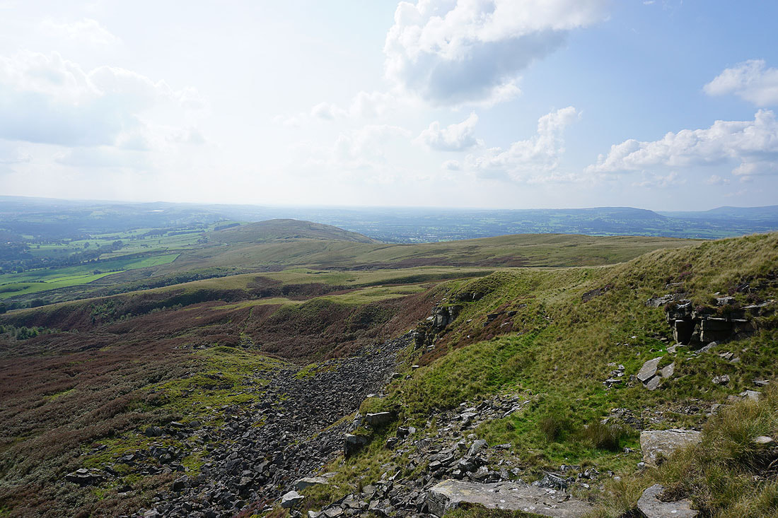
The Rough, Pendleton Moor, and the Ribble Valley
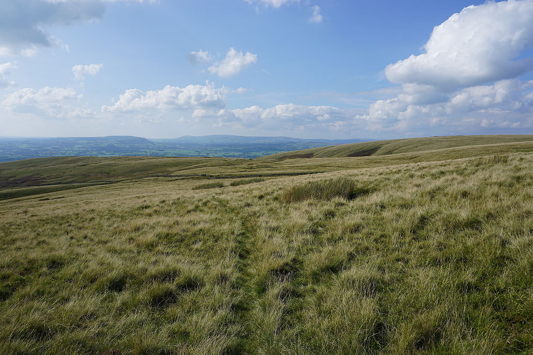
The view across Pendleton Moor to the Forest of Bowland
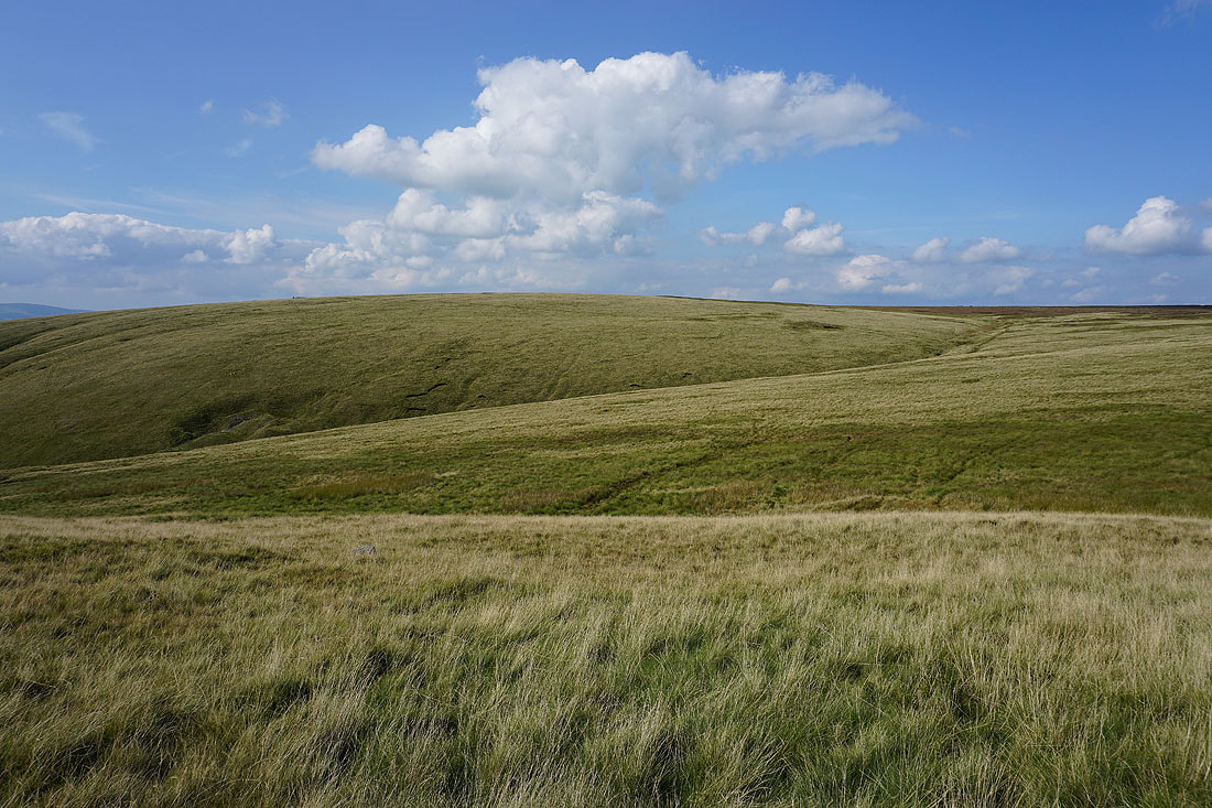
Sunlit moorland to cross as I head for Mearley Moor
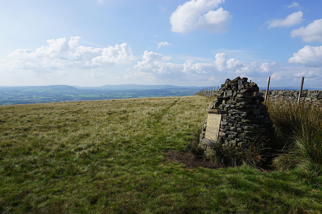
At the Clayton-le-Moors Harriers cairn at the western end of Mearley Moor
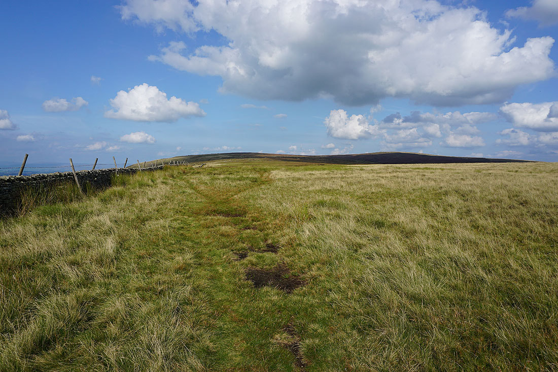
The bulk of Pendle Hill rises to the northeast
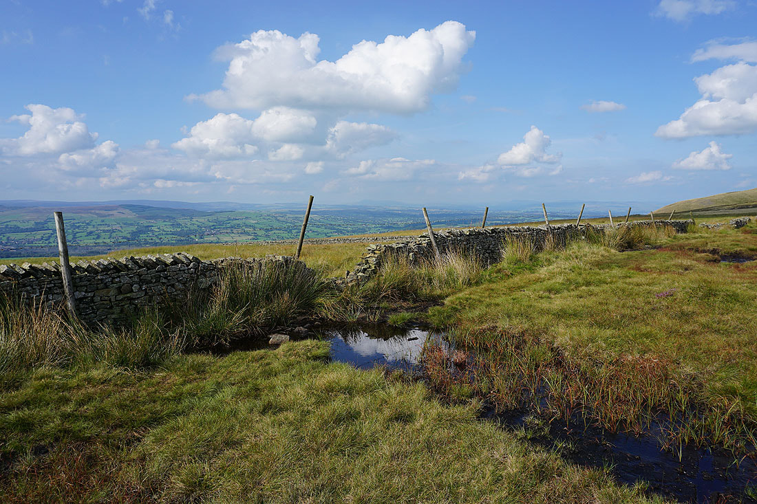
Heading north across Mearley Moor and I can make out Ingleborough in the Yorkshire Dales in the distance
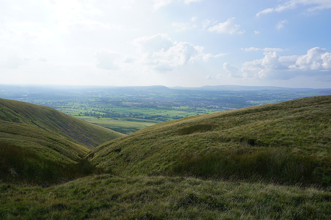
The Ribble Valley below as I cross the top of Mearley Brook
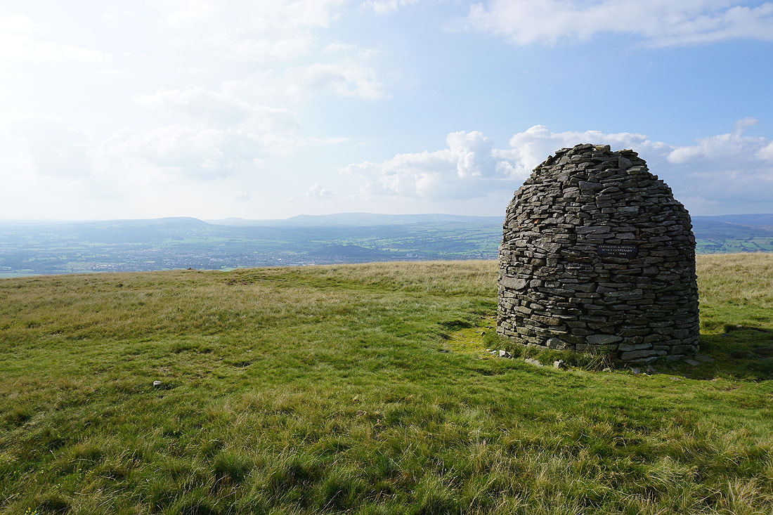
At the Scout Cairn, with the Forest of Bowland in the background
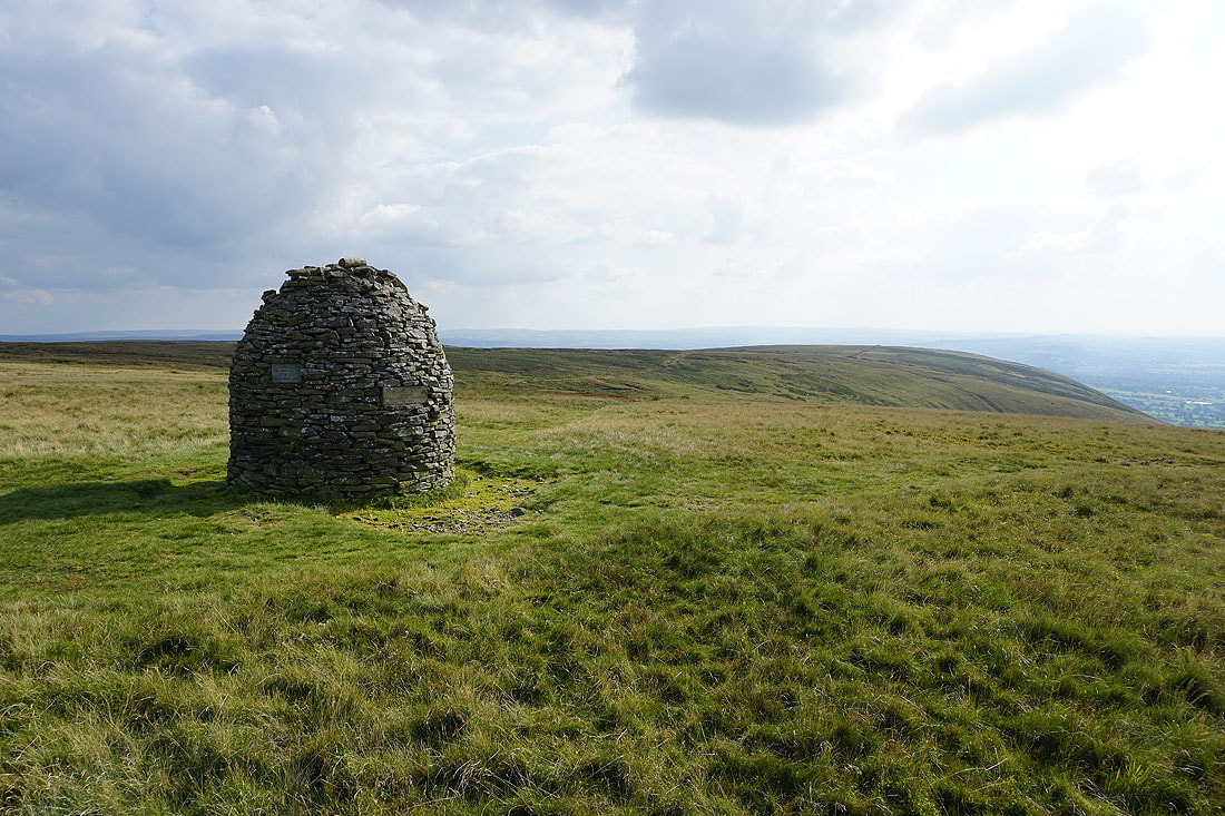
Looking back to Mearley Moor
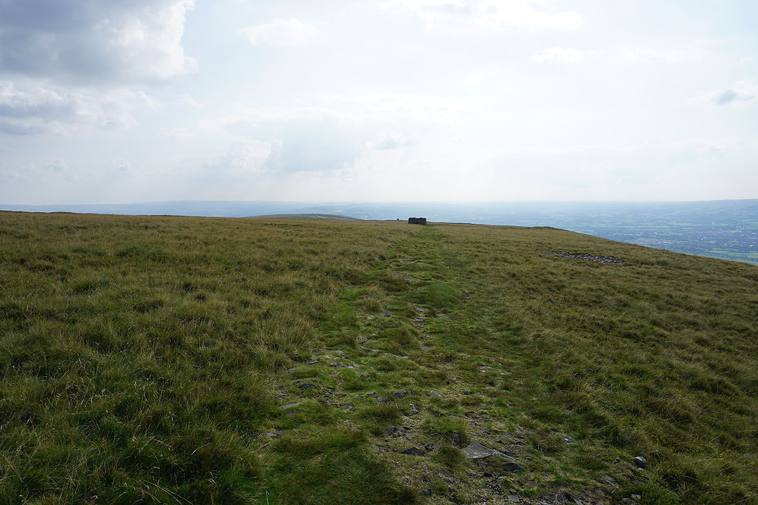
and back across Worston Moor as I head for Downham Moor
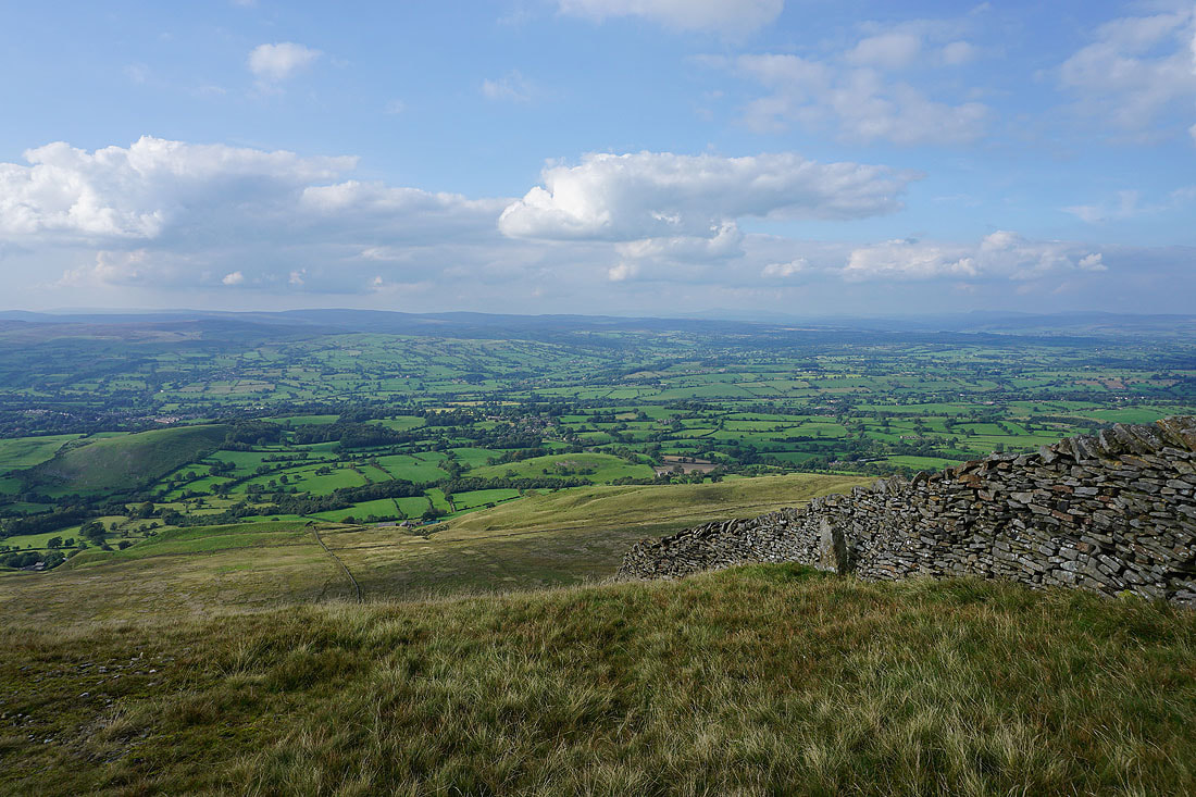
Looking up the Ribble Valley from the edge of Worston Moor
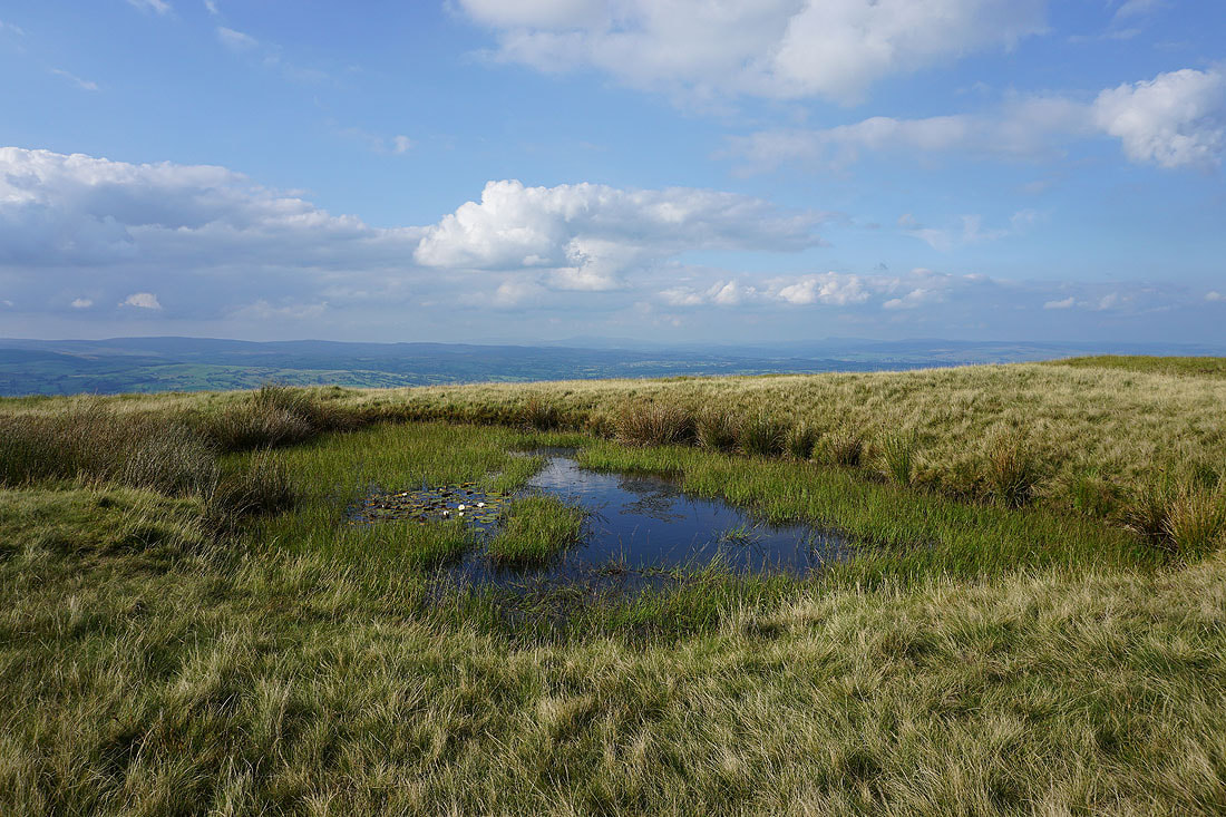
This pool on Downham Moor has become a favourite spot for me to stop and take photos. Looking up the Ribble Valley to Ingleborough and Penyghent.
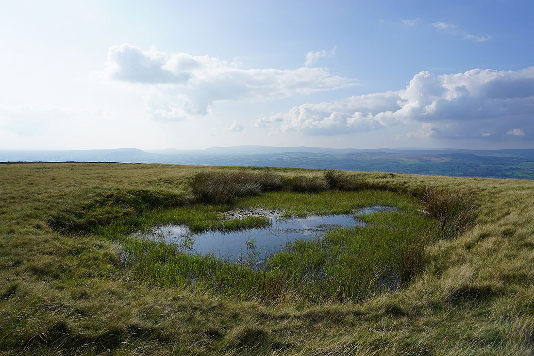
and across the Ribble Valley to the Forest of Bowland
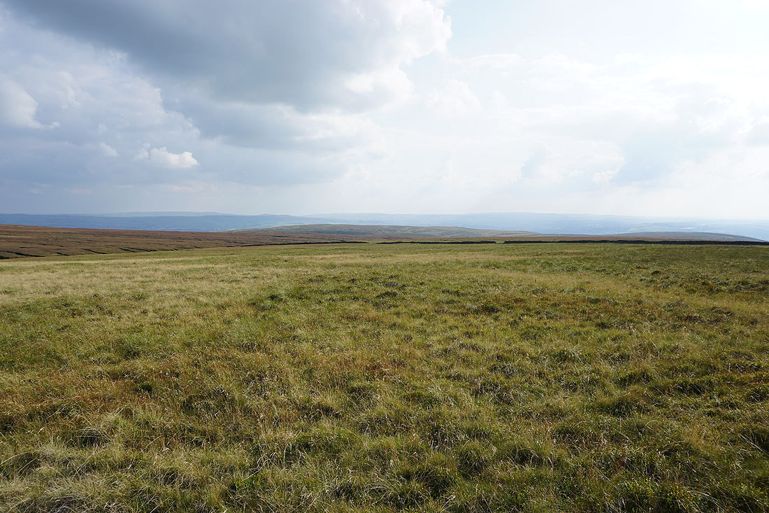
The West Pennine Moors in the distance beyond Spence Moor
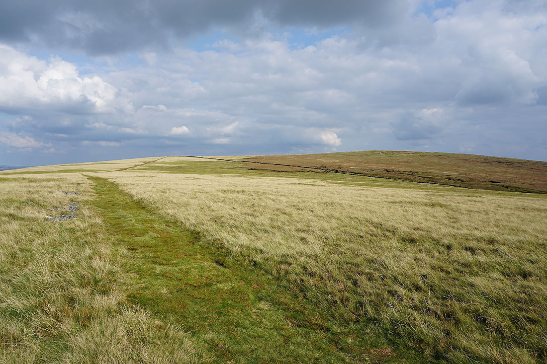
Looking across Downham Moor to the summit of Pendle Hill
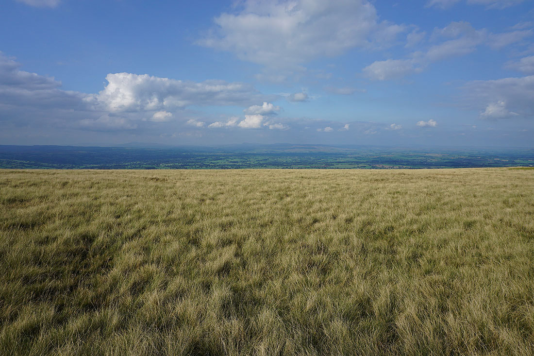
Views across to the Yorkshire Dales and the Forest of Bowland as I head east across Downham Moor..
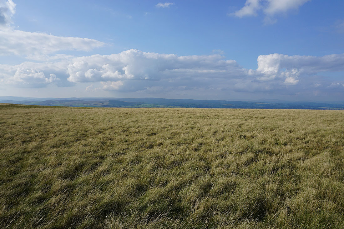
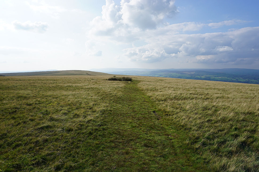
Looking back across Downham Moor
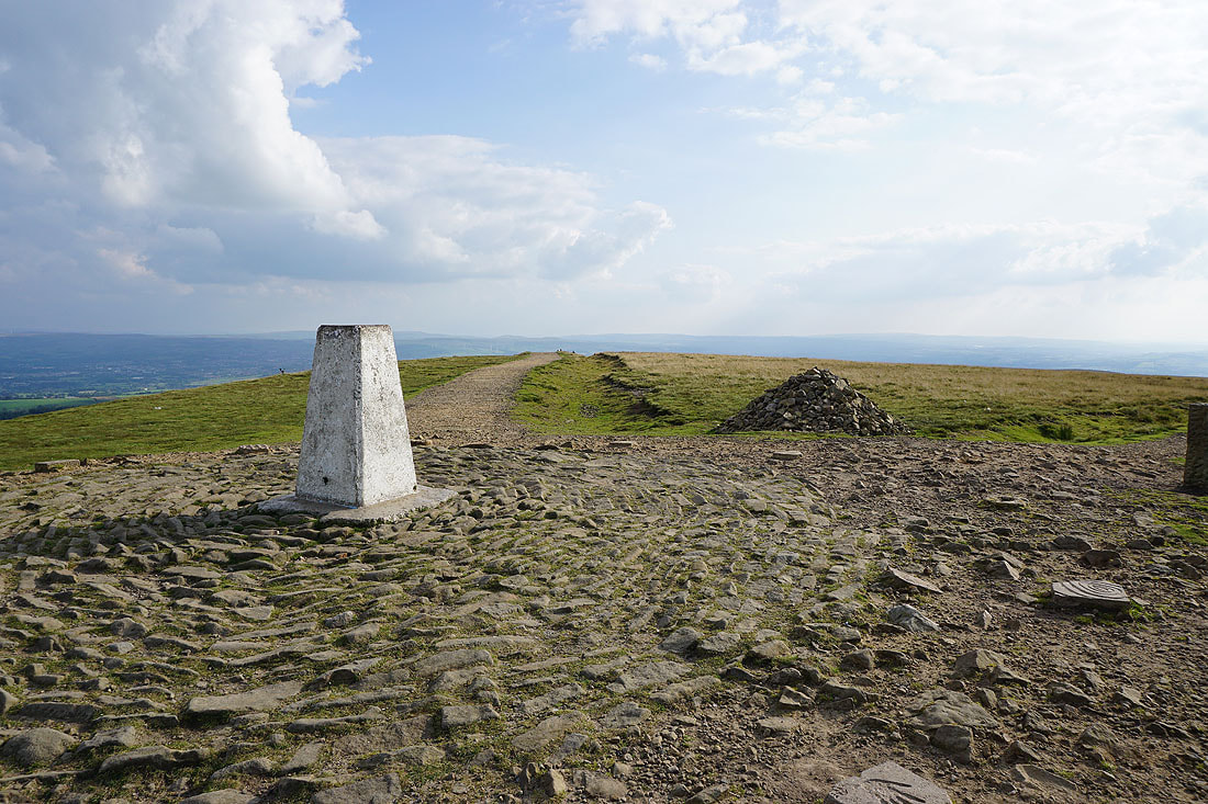
At the trig point on the summit of Pendle Hill

The view to the east to Boulsworth Hill in the distance, with the Black Moss Reservoirs, Barley, and Lower Ogden Reservoir below
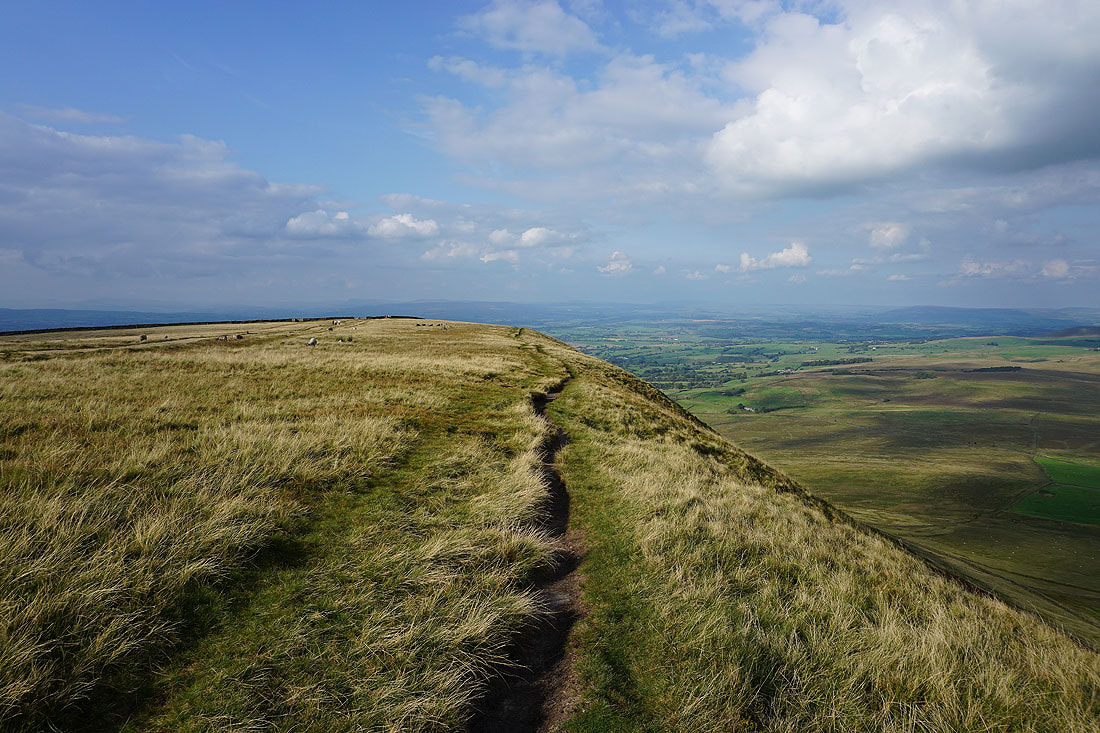
Looking north along the steep eastern face of Pendle Hill
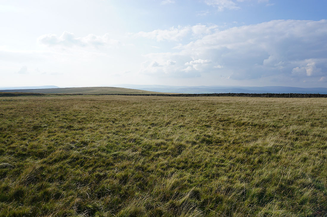
The Forest of Bowland in the distance beyond Downham Moor
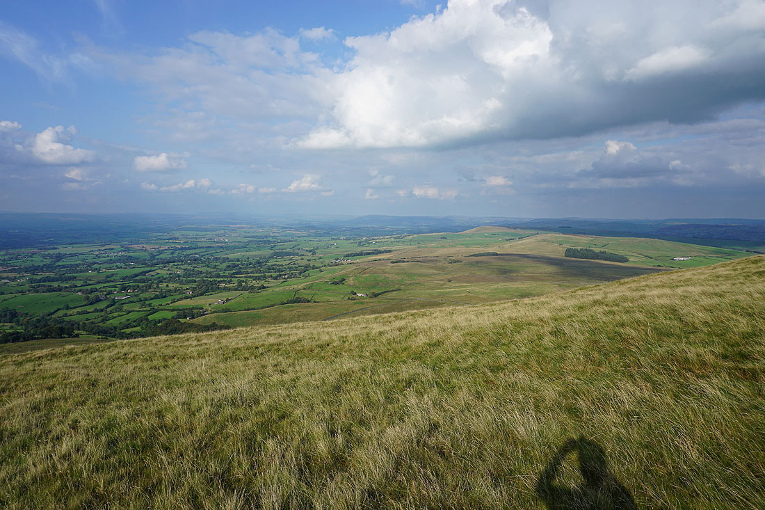
At the eastern edge of Downham Moor. Twiston Moor, Rimington Moor, Wheathead Height, and Weets Hill to the northeast

Great views to the north across the Ribble Valley as I follow the path down to Pendle Road.....

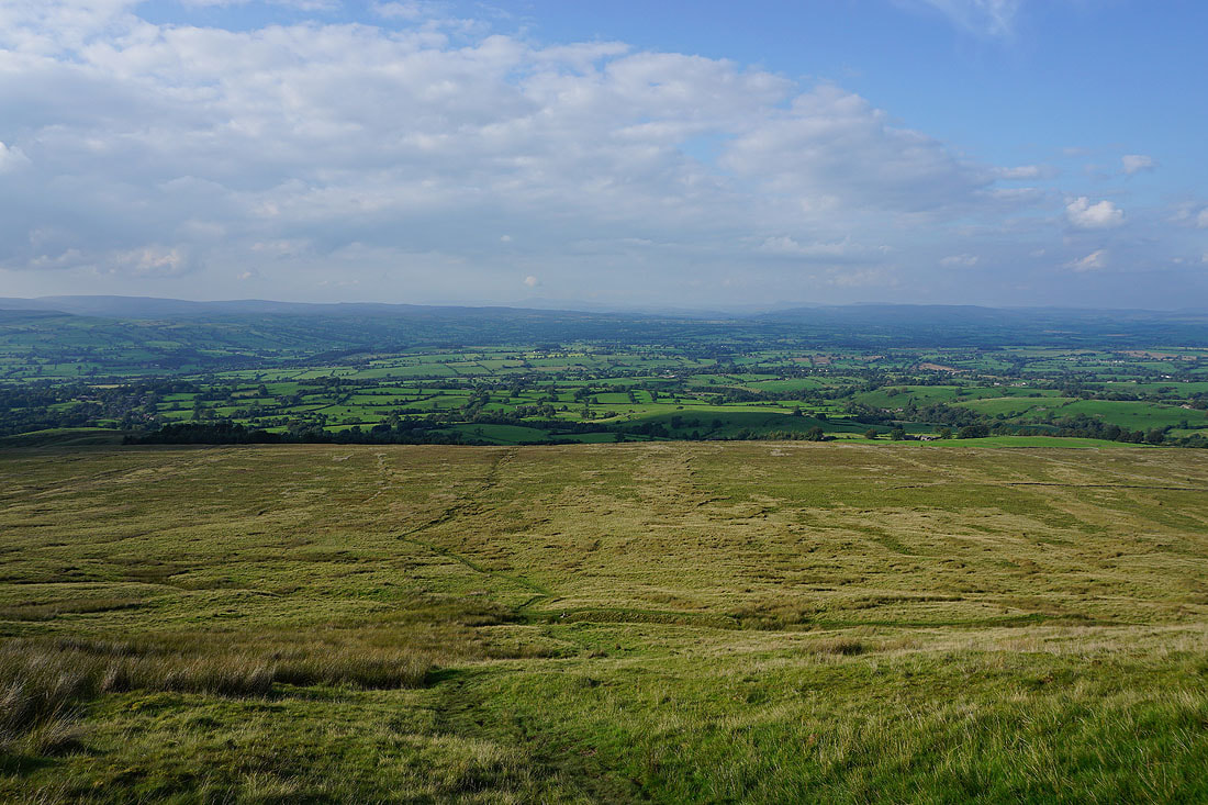
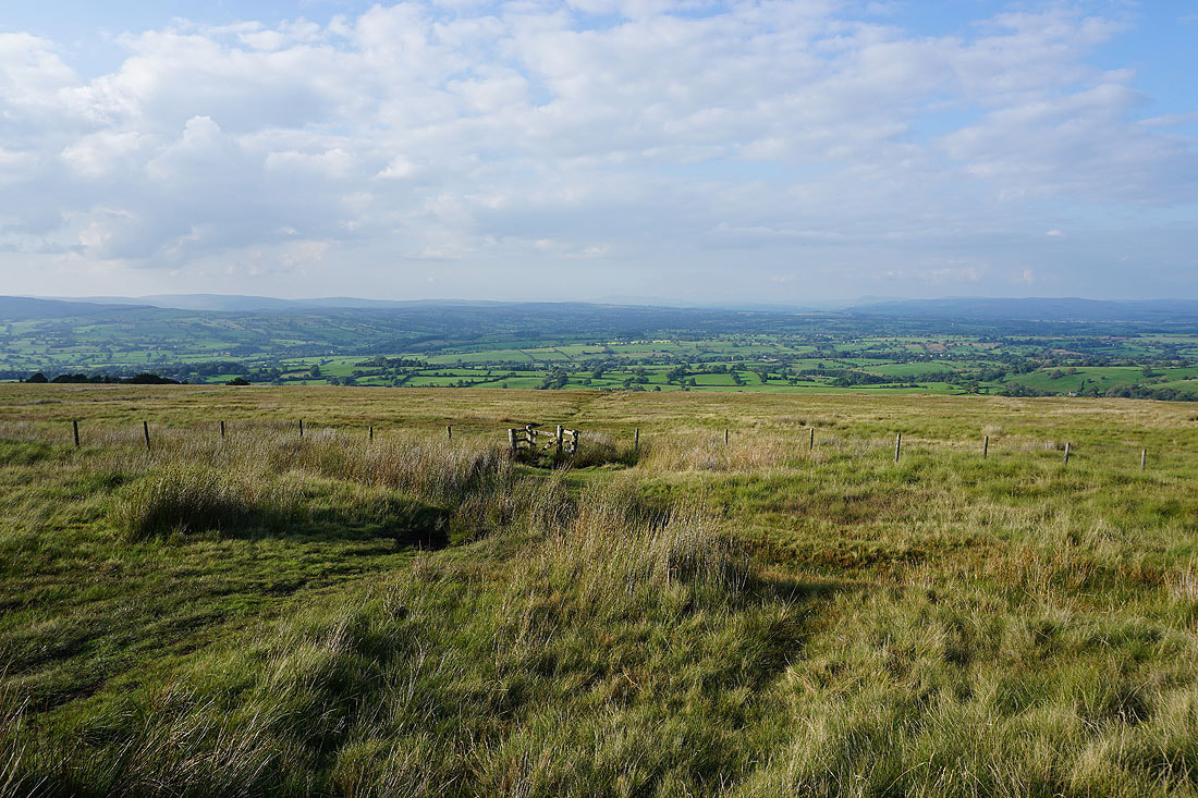
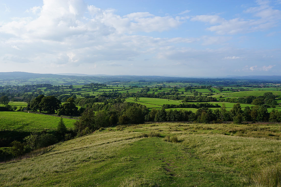
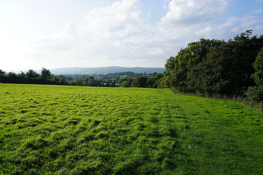
Heading back to Downham

A last look back up to Pendle Hill