30th April 2016 - Pinhaw Beacon & Noyna Hill
Walk Details
Distance walked: 13.0 miles
Total ascent: 2015 ft
OS map used: OL21 - South Pennines
Time taken: 8 hrs
Route description: Kelbrook-Heads Lane-Pendle Way-Mill Brow Road-Gaylands Lane-Hare Hill-Clogger Lane-Pennine Way-Pinhaw Beacon-Calf Edge Farm-White Hill Lane-Knott Barn-The Fold-Lothersdale-Raygill Fisheries-Lothersdale-Skipton Old Road-Bleara Road-Stoney Bank Farm-Harden Old Barn-Pennine Bridleway-Scald Bank-Piked Edge-Harwes Farm-Great Edge-Noyna End Farm-Noyna Hill-Old Stone Trough Lane-Kelbrook
I decided to stay local for my walks this bank holiday weekend and with me having neglected the South Pennines so far this year that gave me the chance to make amends. Today was forecast to have the best weather of the three days, even then there were showers in the mix and it was decidedly cold for the time of year. I had woken up to a cover of snow at home on both Thursday and Friday mornings. Not as cold today but still a bit nippy up on Pinhaw Beacon. As the conditions improved during the afternoon I decided to extend the walk from my original route of following the Pennine Bridleway down by Harden Beck back to Kelbrook, to include Great Edge and Noyna Hill. A good decision as great visibility gave me a fantastic view from Noyna Hill and although it added several miles to the walk I didn't have far to drive home and no getting up early for work the following day.
From the car park opposite the church in Kelbrook I took Harden Road then the bridleway of Heads Lane uphill to the east. I soon reached the Pendle Way and when I did I followed this trail north to Earby and Coolham Lane, which I crossed to the track of Mill Lane, to reach Mill Brow Road. I turned left here and took the footpath on the right beside the youth hostel; this goes through a patch of woodland, over a footbridge across Wentcliff Brook (detour on concessionary path to see waterfall) then up to Gaylands Lane. I followed this uphill to its end where it becomes a bridleway across Hare Hill to reach Clogger Lane, which is part of the Pennine Way here. This trail took me to the summit of Pinhaw Beacon. Having taken lunch here I backtracked a short distance to take the footpath down to Calf Edge Farm and White Hill Lane. After a short walk east along this road I took the footpath from Knott Barn down to The Fold, then the track up Lothersdale to reach Raygill Fisheries. Having paid a visit to the cafe I returned to the track to continue following it west (short section where it's just a footpath and it was covered in deep mud, I took to the hillside to get round it) to the top of Lothersdale and Winter Gap Lane. I walked up this road to its junction with Skipton Old Road where I turned right for another walk by a road to Bleara Road. I followed Bleara Road to Stoney Bank Farm where I took the bridleway down to Harden Old Barn, the Pennine Bridleway to Kitchen Farm, a footpath to Scald Bank and the Pendle Way to reach a path along Piked Edge to Harwes Farm. A path from here took me to the hill of Great Edge, down to Cob Lane and Noyna End Farm. The last ascent of the day onto Noyna Hill was done and after taking in the view the path down brought me to Old Stone Trough Lane. A walk north along this road and I arrived back in Kelbrook.
Route map
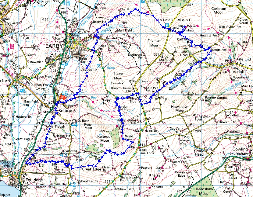
© Crown copyright. All rights reserved. License number PU 100034184.
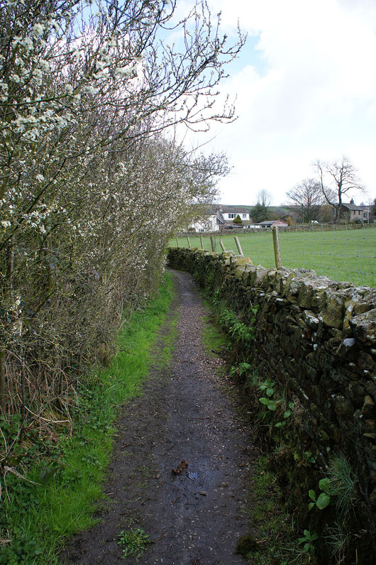
Leaving Kelbrook on Heads Lane
Blue skies and sunshine arrive as I join the Pendle Way. Looking across to White Moor.
and over Earby to the hills of the Yorkshire Dales, some of which have snow on them
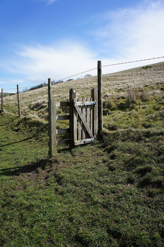
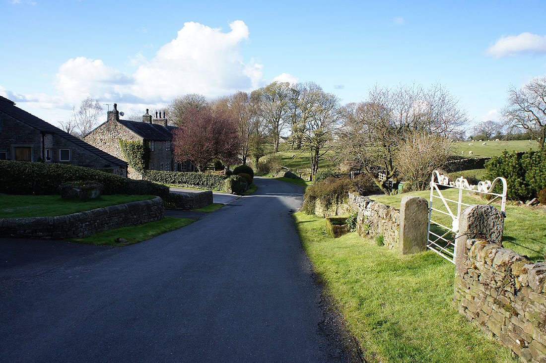
Make sure you close it behind you
|
|
Across Coolham Lane and onto the track of Mill Lane
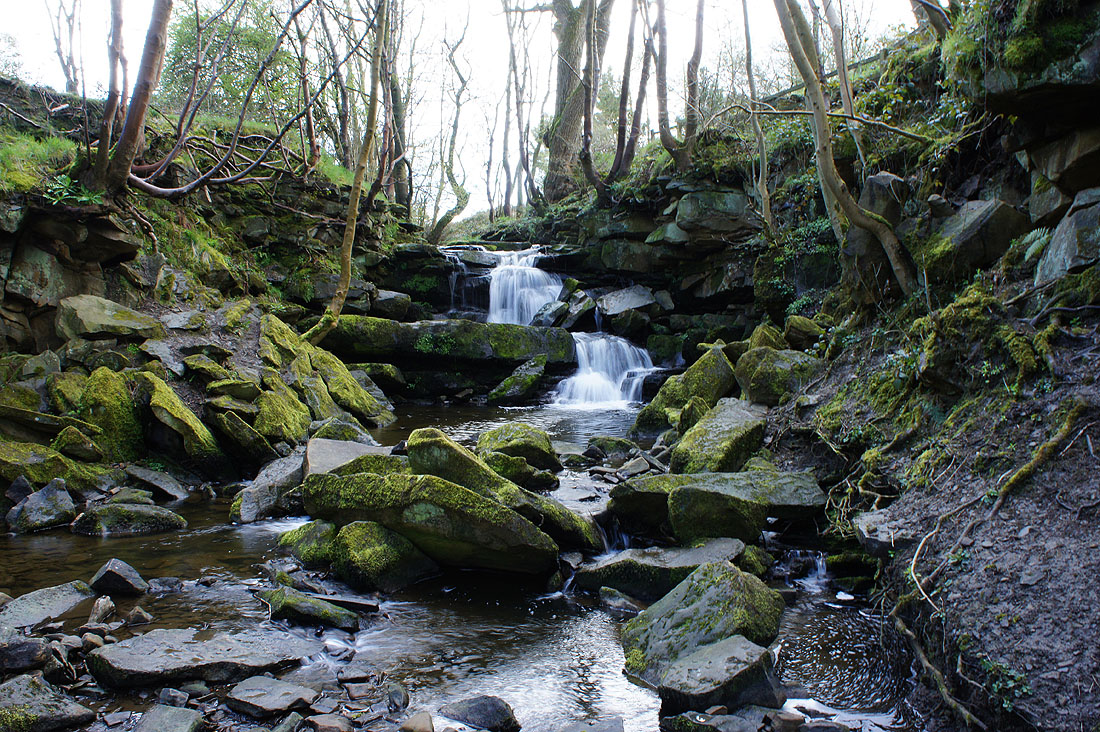
I almost missed seeing this little waterfall on Wentcliff Brook behind the youth hostel in Earby. A concessionary path leads you to it.
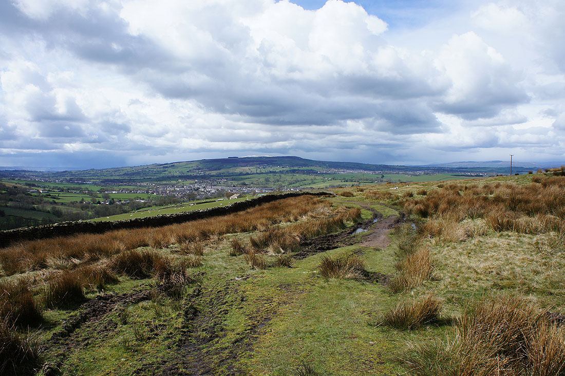
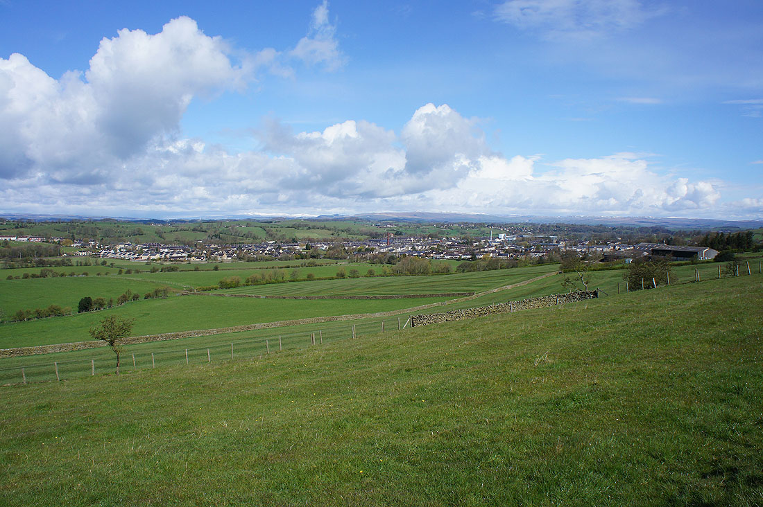
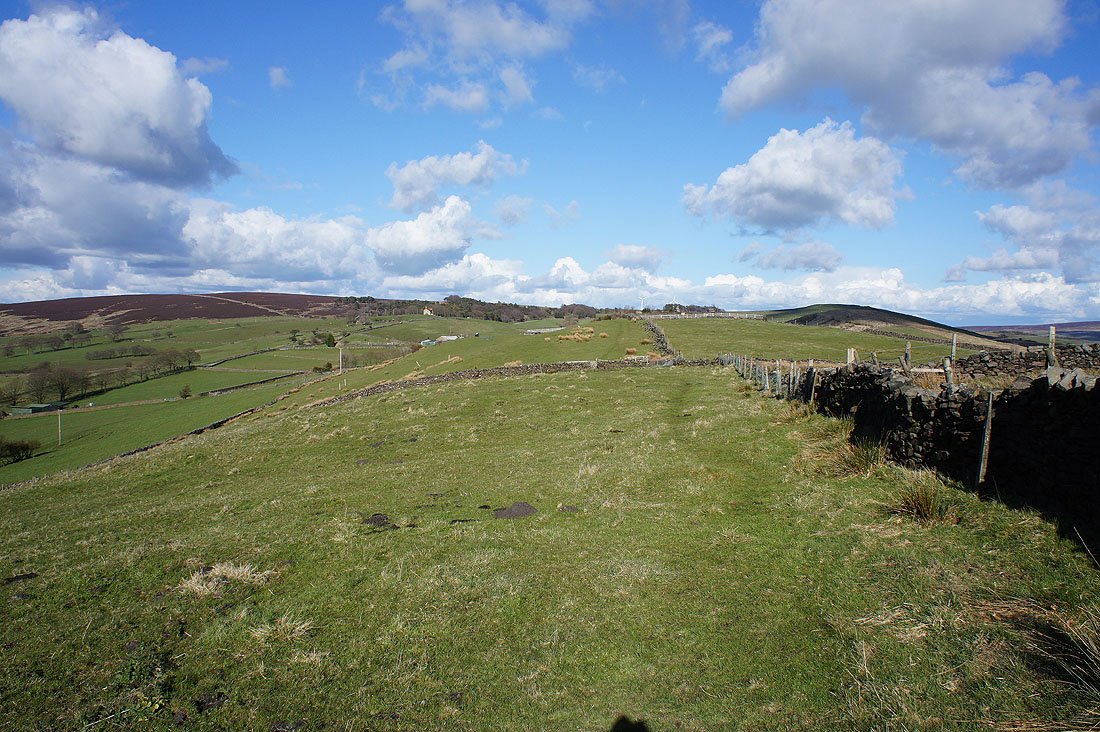
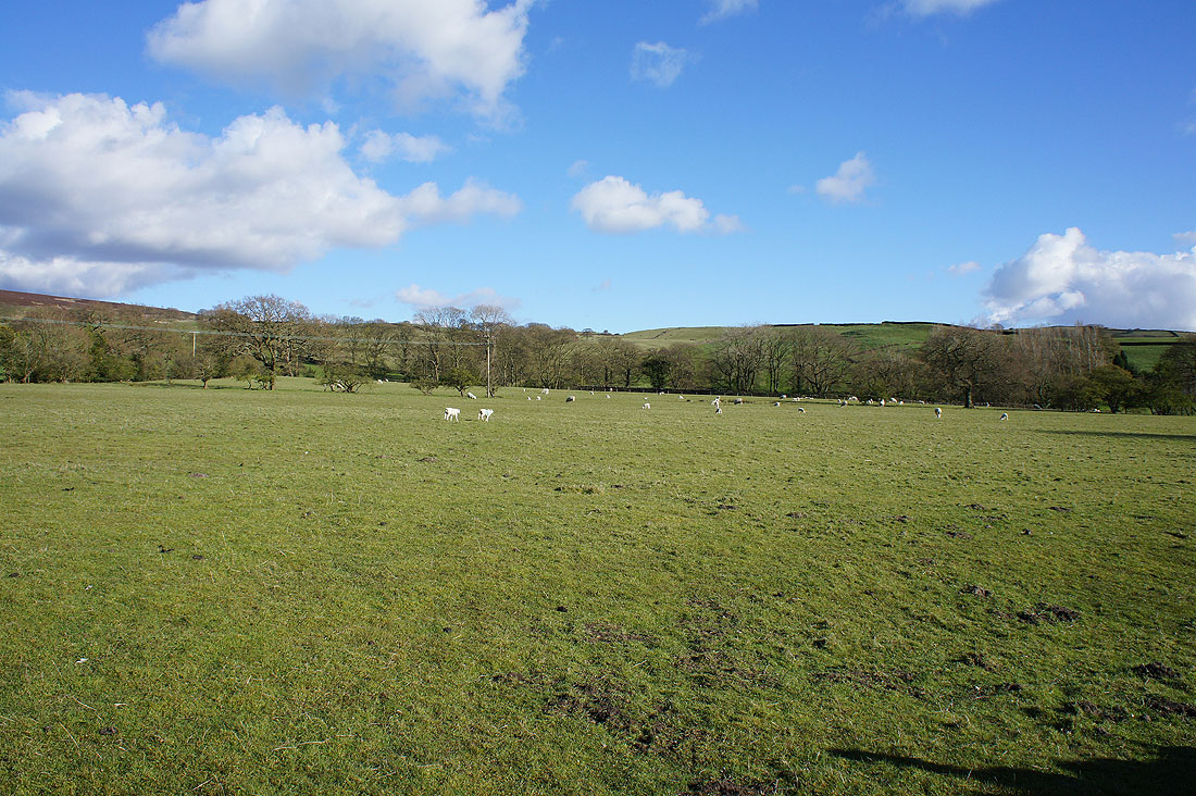
Looking back to Earby backed by Weets Hill as I reach the access land at the top of Gaylands Lane. It looks like the clouds are gathering in the distance.
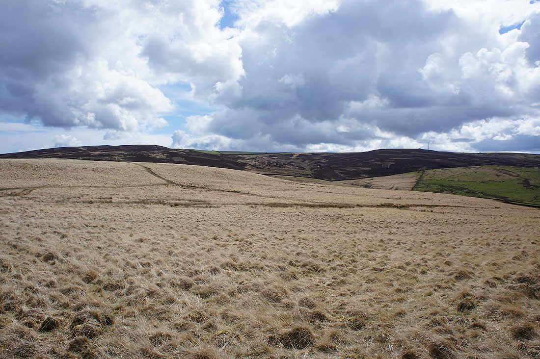
Elslack Moor and Thornton Moor
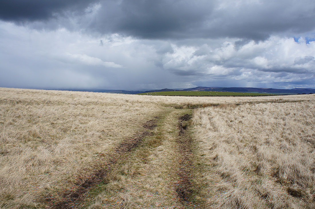
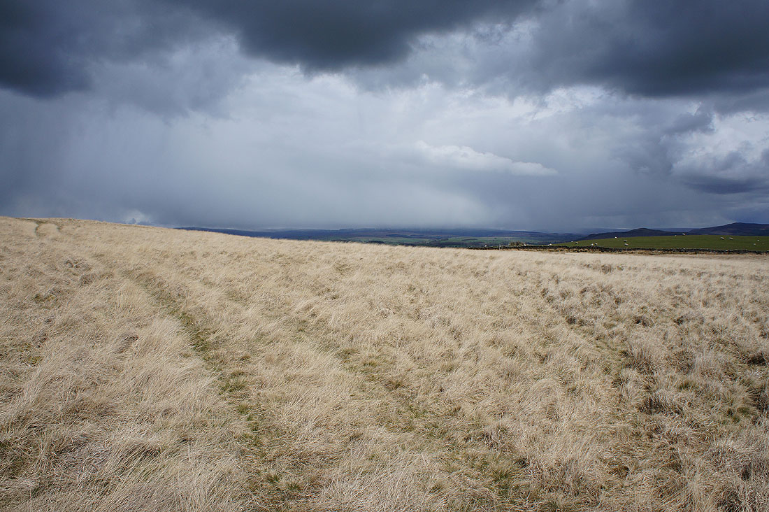
Dramatic skies as I follow the bridleway across Hare Hill to Clogger Lane...
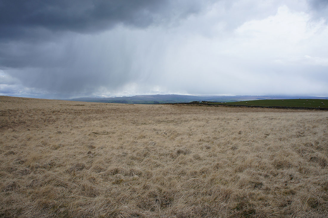
Hail falls as I walk up Clogger Lane, which is part of the Pennine Way here. I can make out a snow topped Ingleborough in the distance.
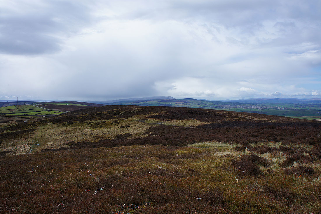
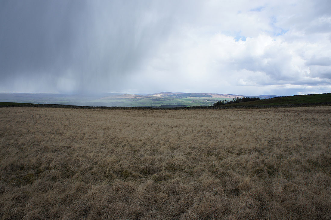
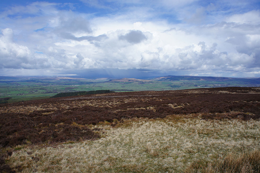
The shower cleared through while I was sat having my lunch on Pinhaw Beacon. Pendle Hill can now be seen.
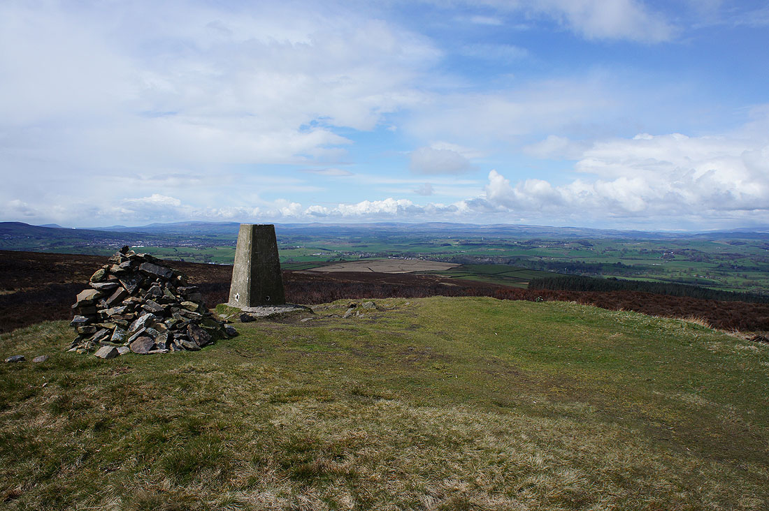
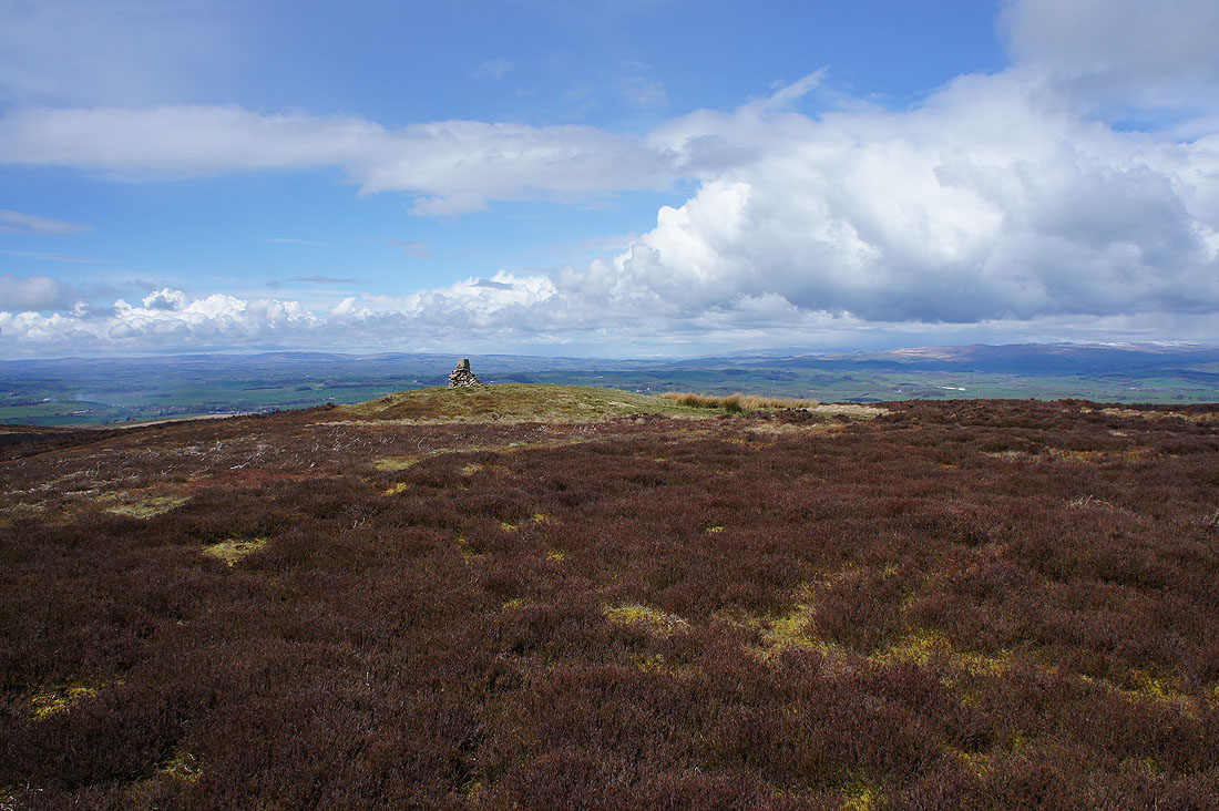
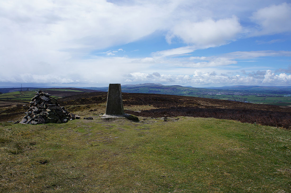
The trig point and summit of Pinhaw Beacon. A strong and cold wind picked up as brighter skies arrived and there's great visibility.
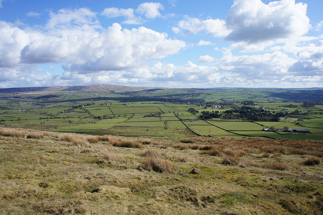
Looking north to Ingleborough and the hills above Settle
Zooming in to the left of Ingleborough and some of the Lake District fells could be made out
A shower passes over the fells around Wharfedale
Barden Moor, Simon's Seat and Skipton Moor
Big skies
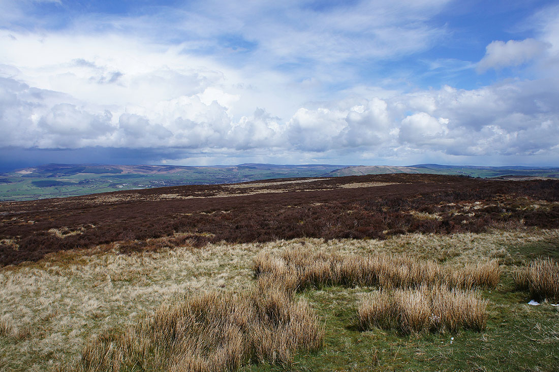
Boulsworth Hill to the southeast
Pendle Hill with a line of snow on the eastern face
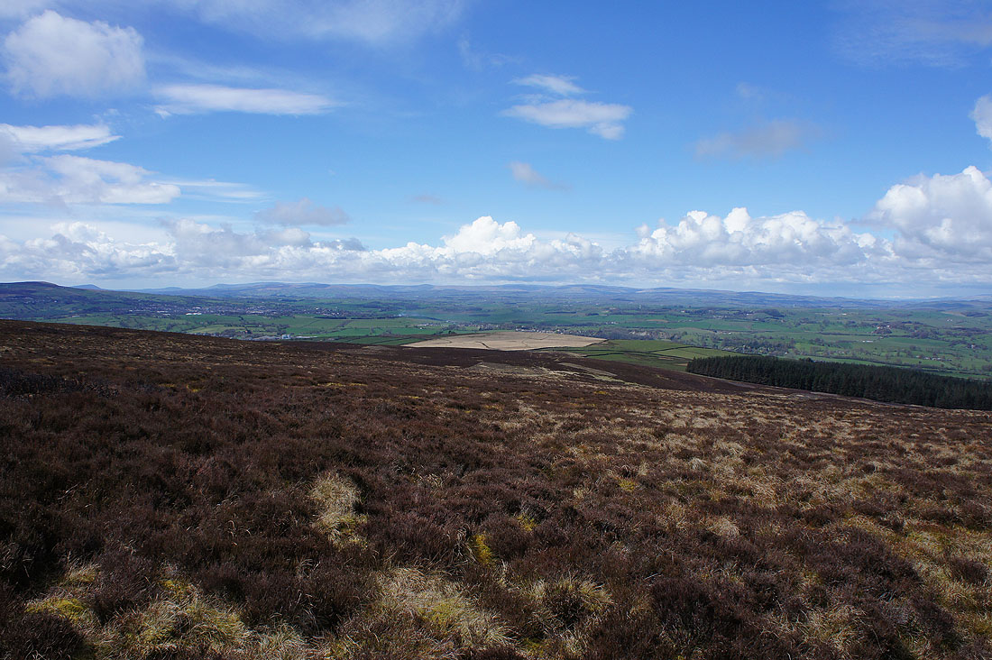
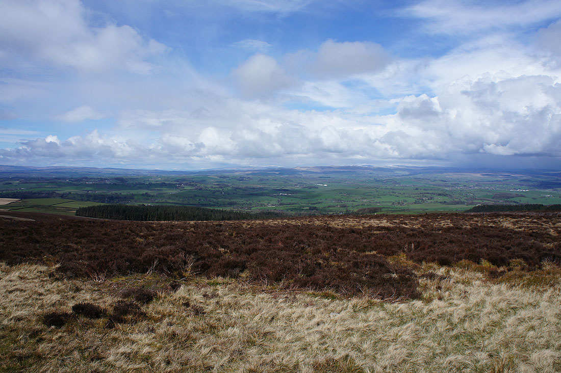
The Forest of Bowland from Longridge Fell, Beacon Fell and Parlick in the west to Bowland Knotts in the east
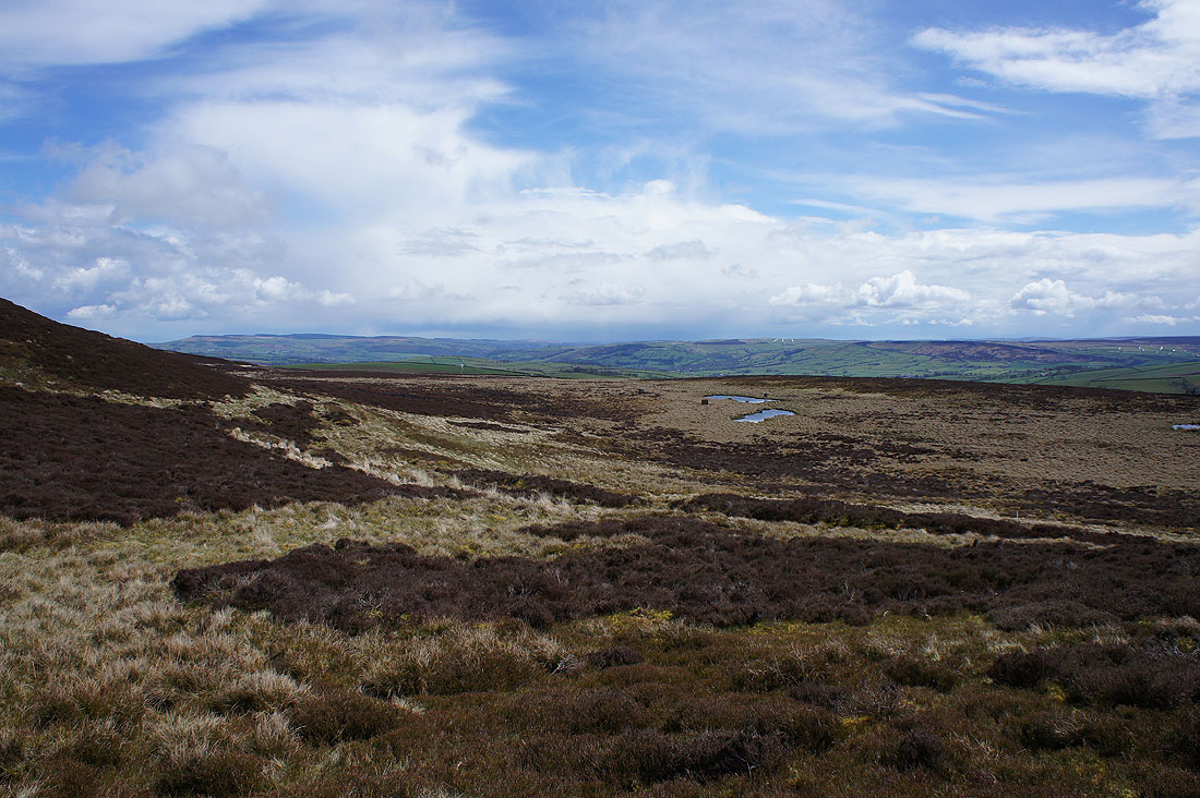
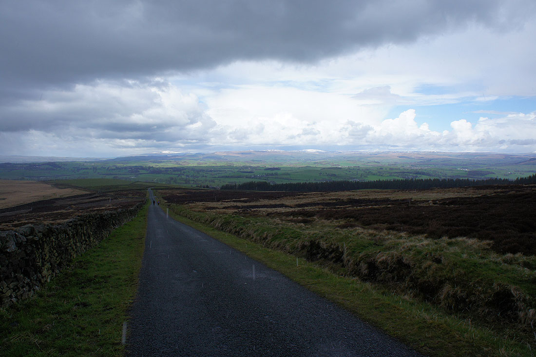
Addingham High Moor, Rivock Moor, Steeton Moor and Earl Crag above Airedale as I leave Pinhaw Beacon on the path to Lothersdale
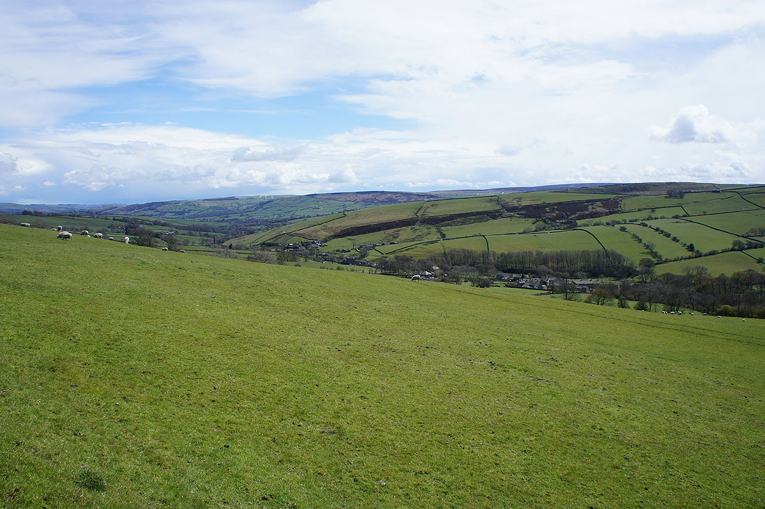
Heading down into Lothersdale...
...to arrive in The Fold
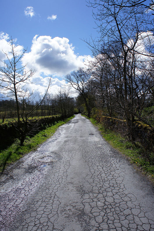
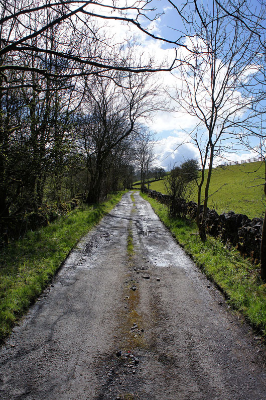
On the road to Raygill
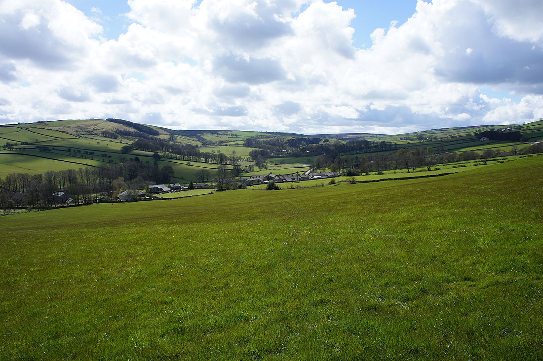
Looking back down Lothersdale
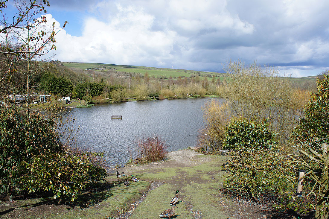
I decided to pop into the cafe at Raygill Fisheries while I was passing. This is one of the lodges..
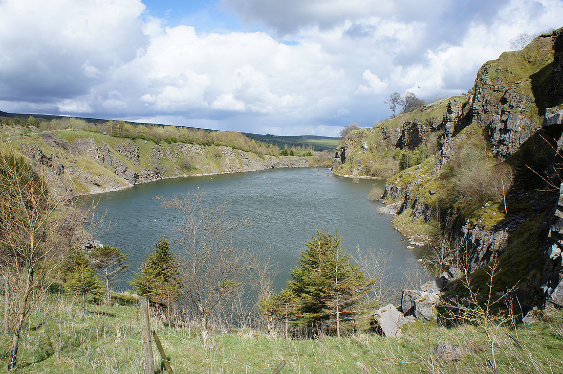
..and this is Quarry Lake
Back on the path to the top of Lothersdale
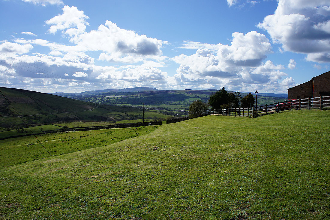
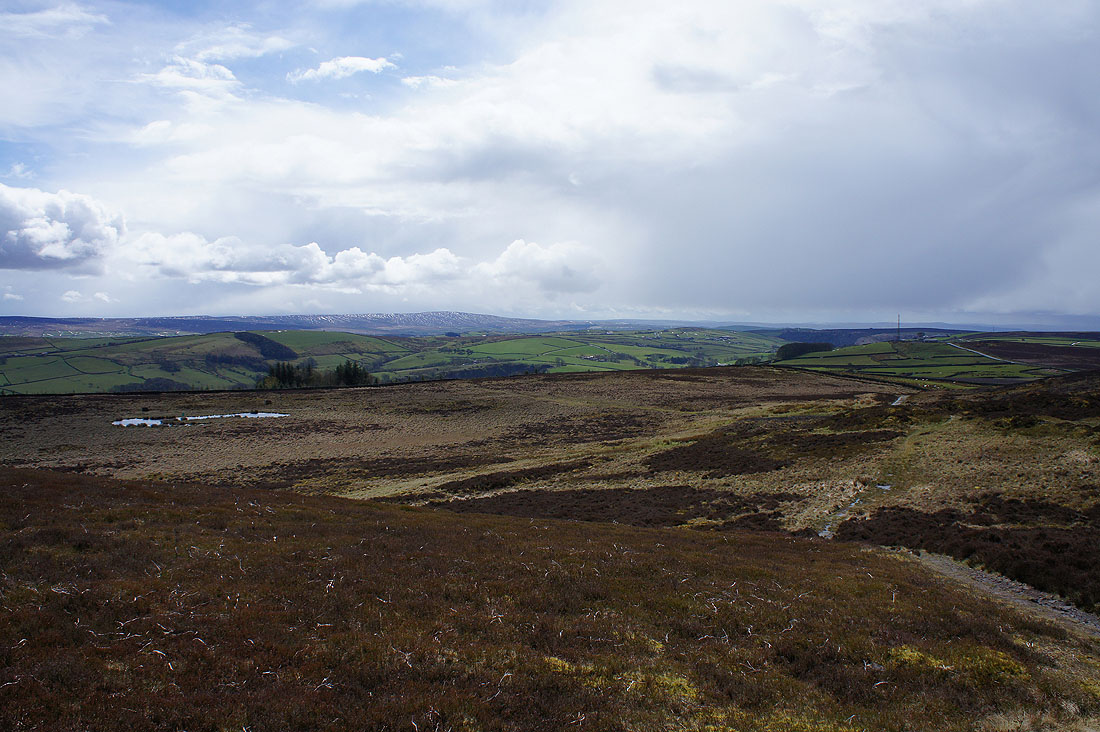
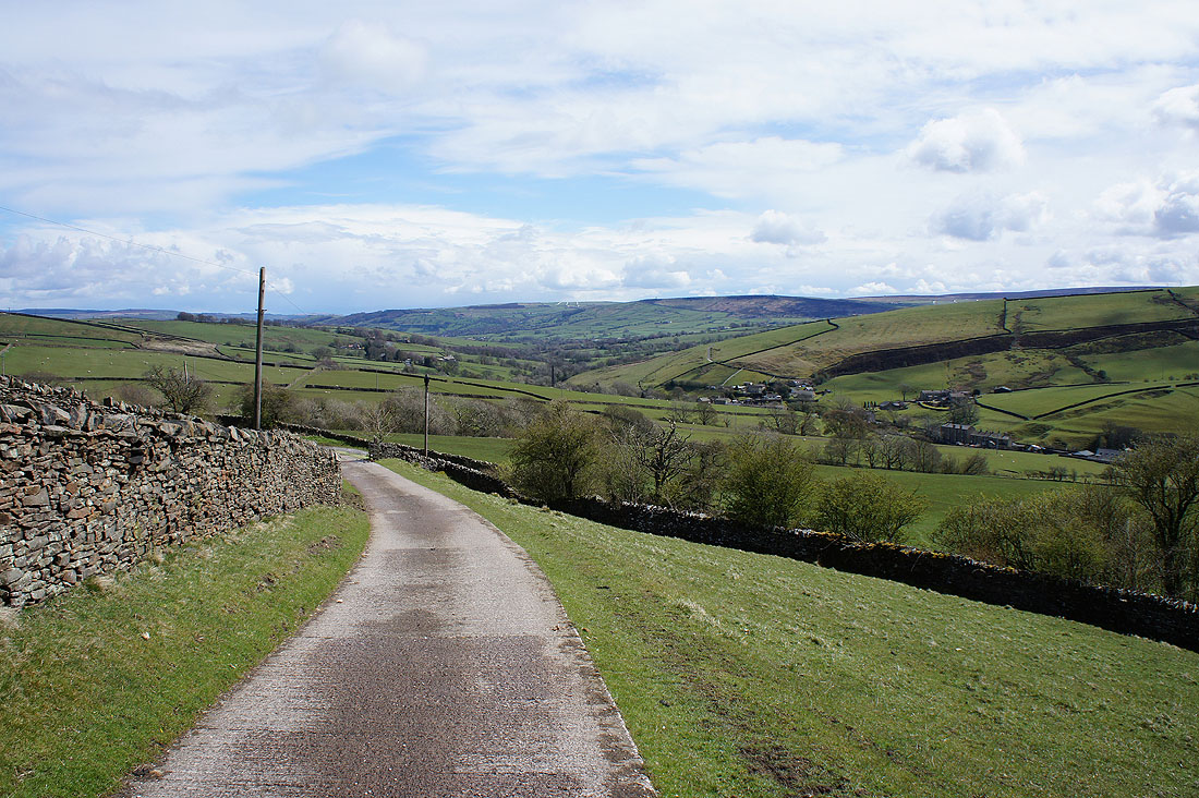
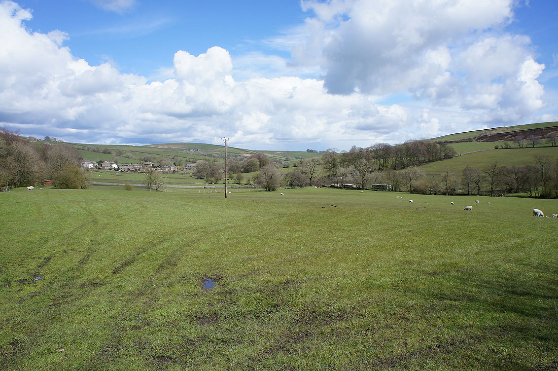
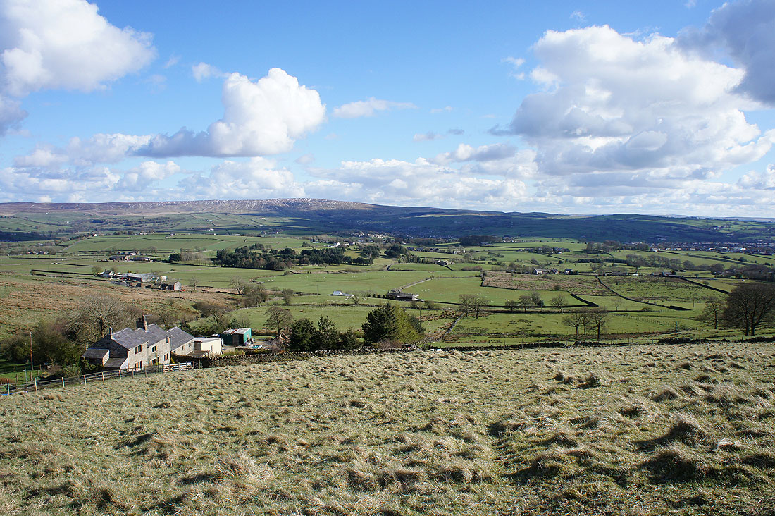
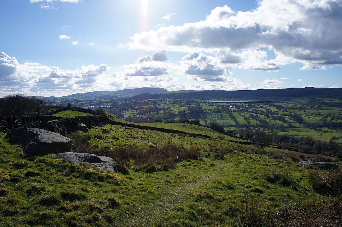
After a walk along Skipton Old Road and Bleara Road I take the bridleway from Stoney Bank Farm down to Harden Old Barn. A view of Pendle Hill beyond White Moor.
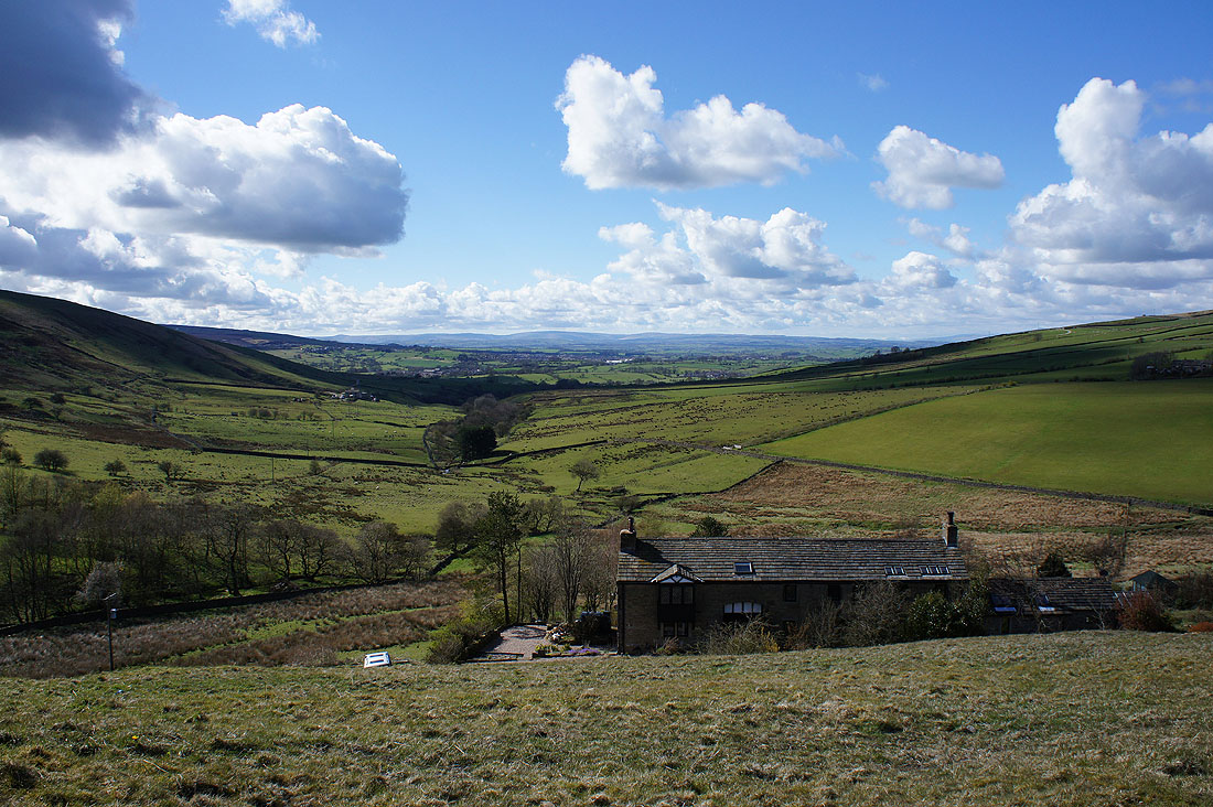
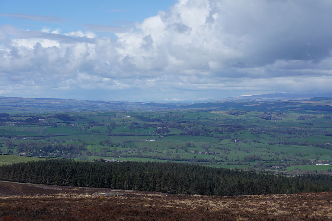
The Forest of Bowland in the distance from the Pennine Bridleway above Kitchen Farm..
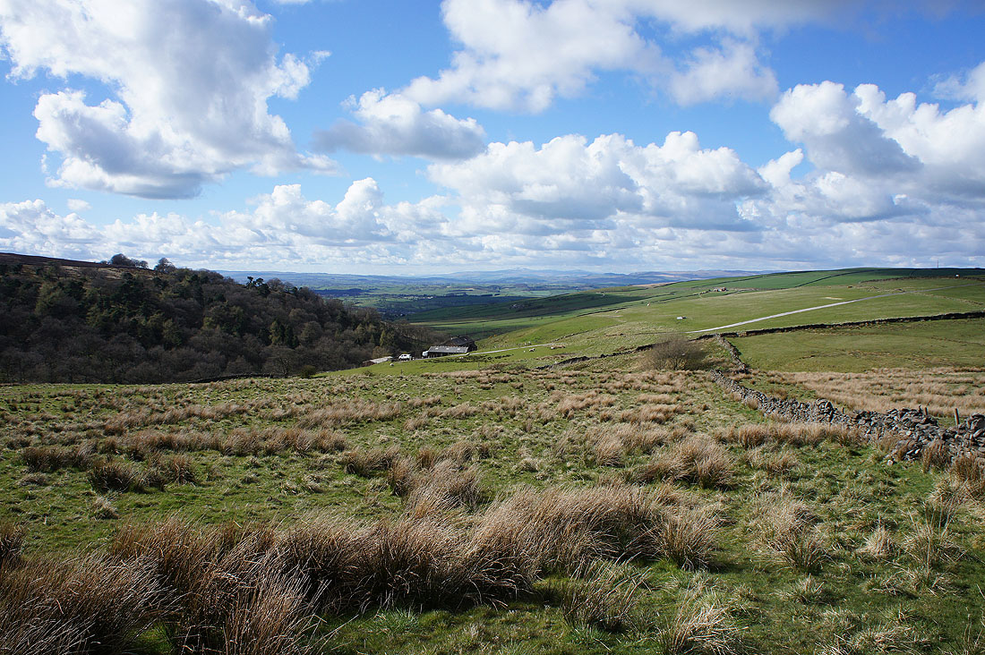
..and now Ingleborough from the path on Piked Edge
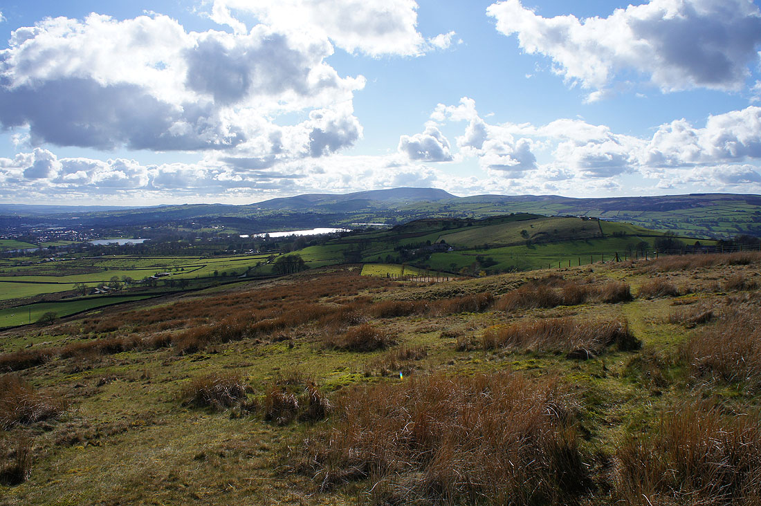
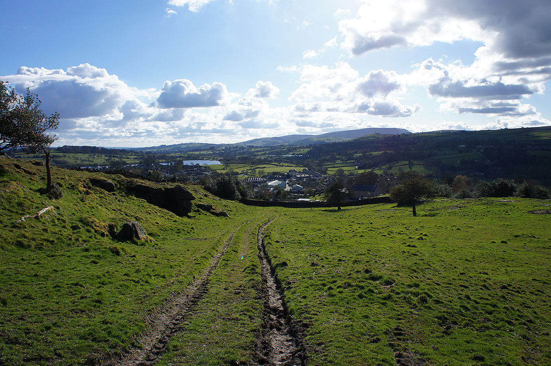
Foulridge Lower and Upper Reservoirs, Pendle Hill and Noyna Hill as I walk down Great Edge
Boulsworth Hill and Trawden
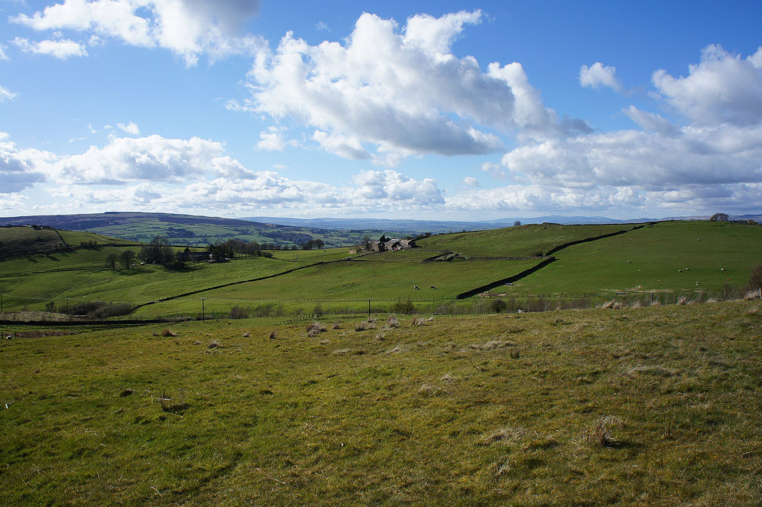
The view starts to open up to the north
Boulsworth Hill and Trawden as I follow the path up onto Noyna Hill from Noyna End Farm
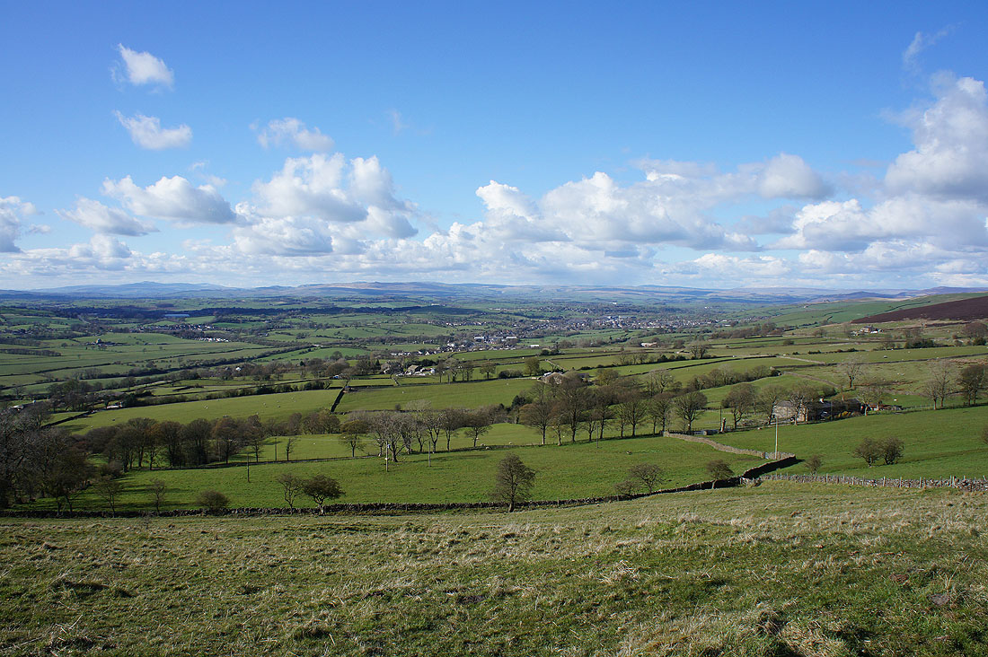
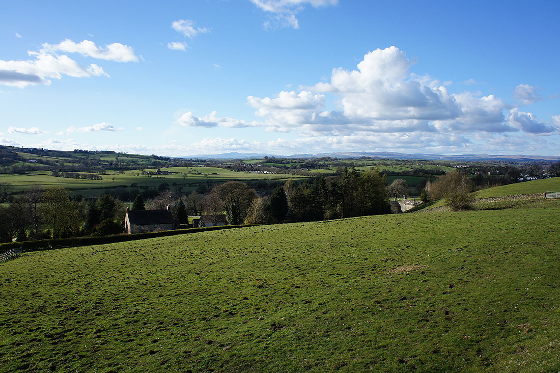
The fantastic view to the north that made extending the walk worthwhile. Ingleborough and the hills above Settle and Malham in the distance.
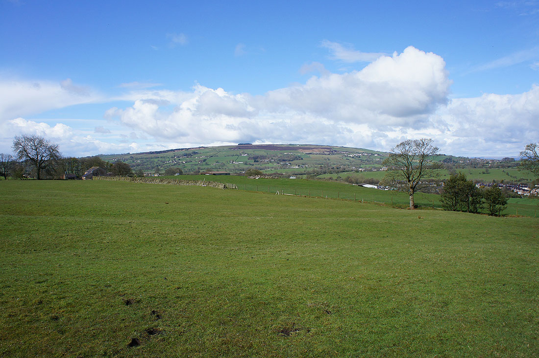
Looking back with Kelbrook Moor on the left and Great Edge on the right
Heading down Noyna Hill towards Foulridge..
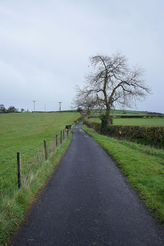
I may have to walk along Old Stone Trough Lane back to Kelbrook but I have a great view as compensation
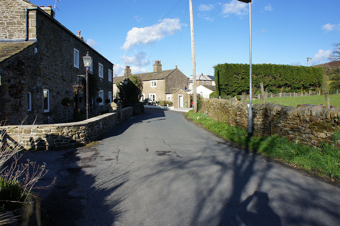
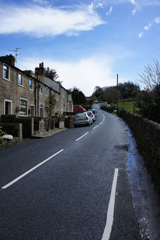
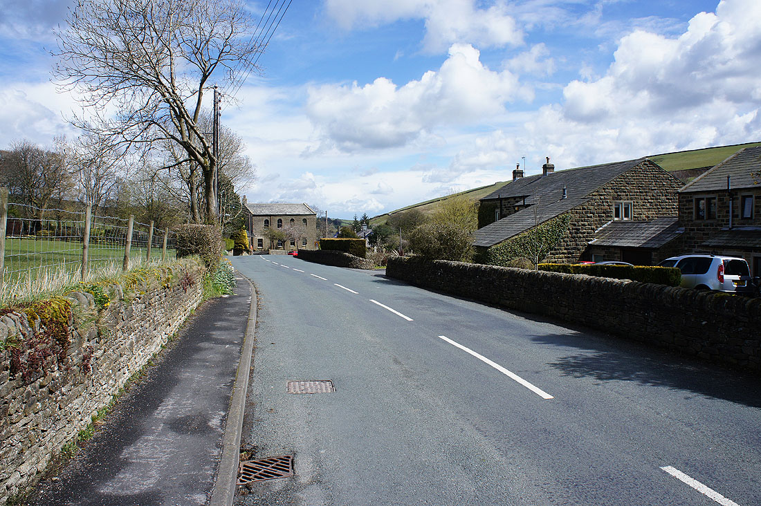
Through the hamlet of Old Stone Trough
A lovely end to the afternoon as I arrive back in Kelbrook..