30th April 2017 - River Brock bluebells
Walk Details
Distance walked: 4.7 miles
Total ascent: 687 ft
OS map used: OL41 - The Forest of Bowland & Ribblesdale
Time taken: 3 hrs
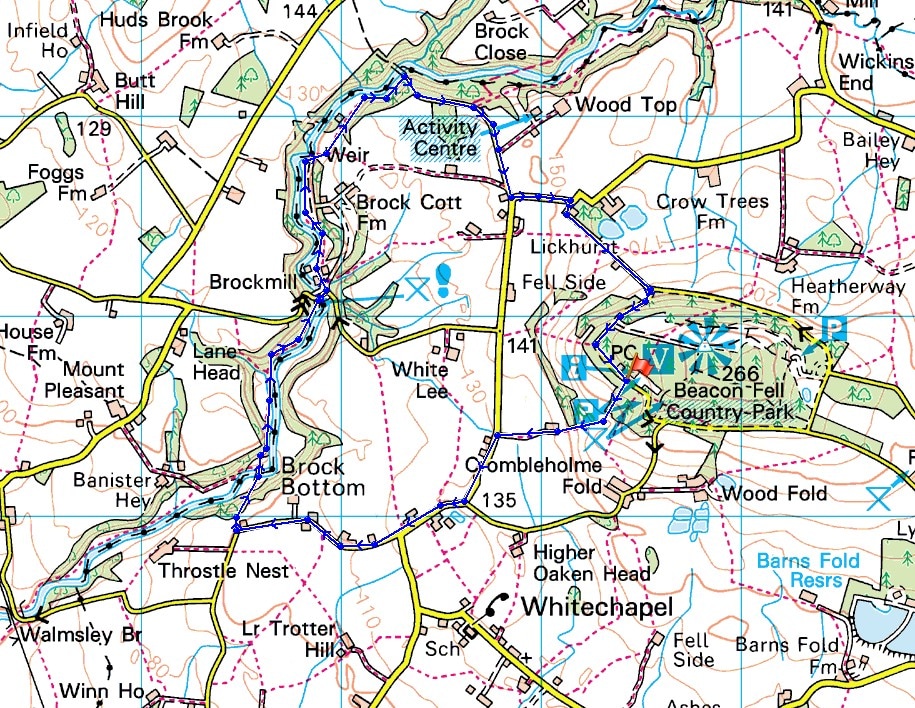
Route description: Beacon Fell Country Park-Salisbury House-Bleasdale Road-Stannalee Lane-Brock Bottom-Higher Brock Bridge-Snape Rake Lane-Oakenclough Road-North Nook Lane-Beacon Fell Road-Beacon Fell Country Park
Spring is really getting a move on this year so I thought that I'd better get a bluebell walk done before they've finished flowering or the trees are fully in leaf. I decided to head for Beacon Fell Country Park and take in the bluebells by the River Brock Nature Trail, somewhere that I've been to a few times now. It didn't disappoint.
From Beacon Fell Country Park I followed a path downhill into woodland by Salisbury House and down its drive to Bleasdale Road. I then walked along Bleasdale Road and Stannalee Lane to the house of Rake Head. A path then heads downhill into woodland to Brock Bottom. I went across the footbridge over the River Brock and then followed the path by the river to the picnic site at Higher Brock Bridge where I had my lunch. The riverside path continues on the other side of the bridge until the track of Snape Rake Lane is reached. I followed it uphill to where it becomes a surfaced road and then to Oakenclough Road. Here I turned left to walk east along Oakenclough Road, then right up North Nook Lane, then right again along Beacon Fell Road back to the car park.
Route map
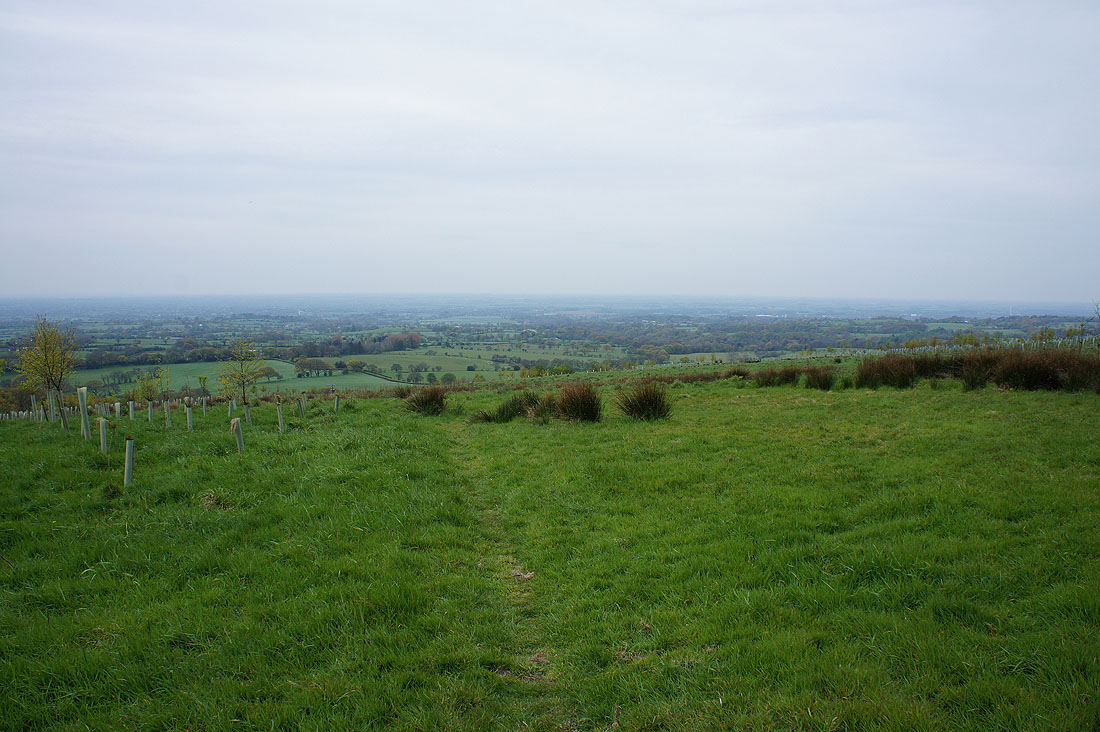
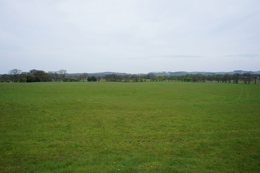
The Lancashire plain in view as I leave the car park at Beacon Fell Country Park
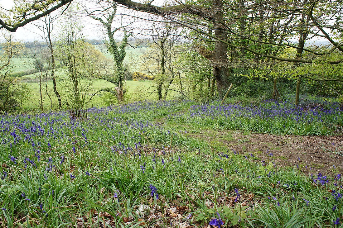
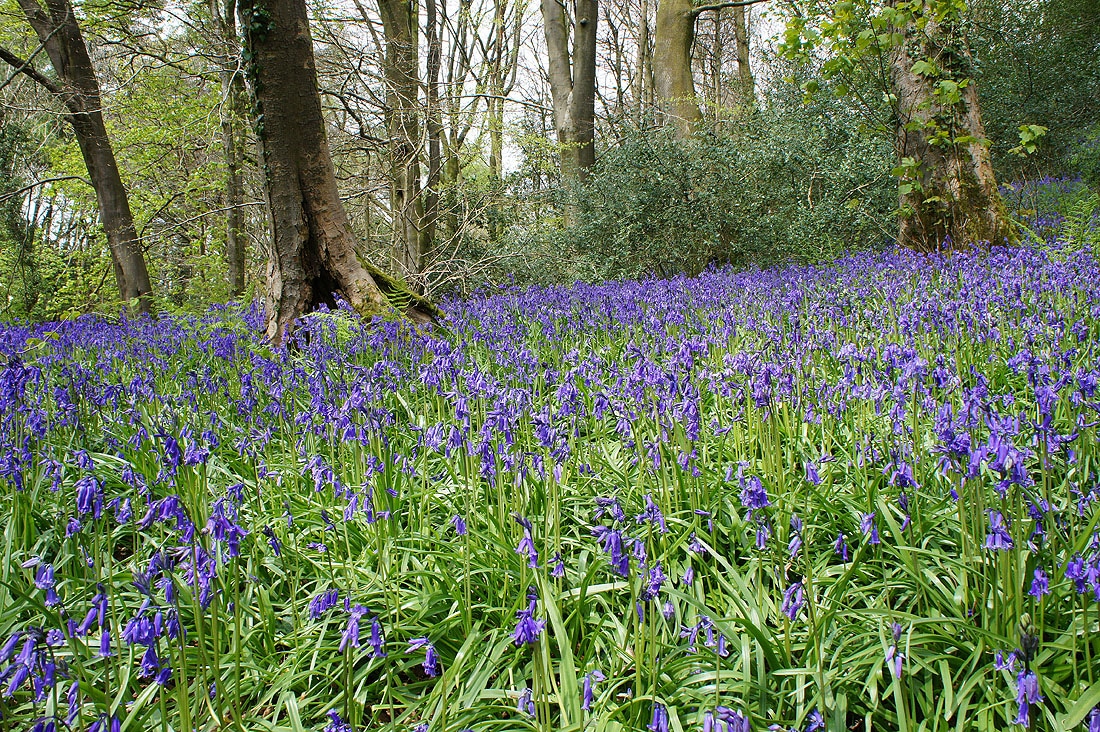
Bluebells in the woodland by Salisbury House..
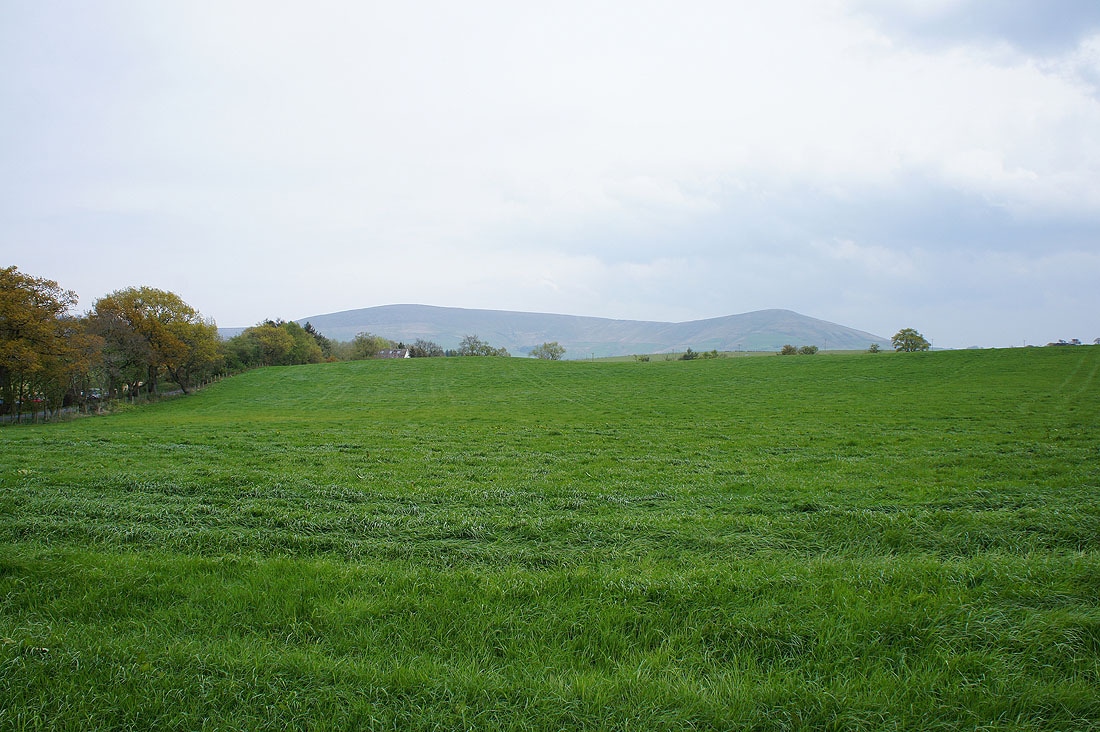
Bowland farmland as I walk along Bleasdale Lane
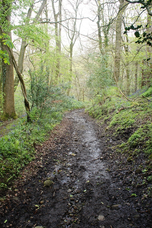
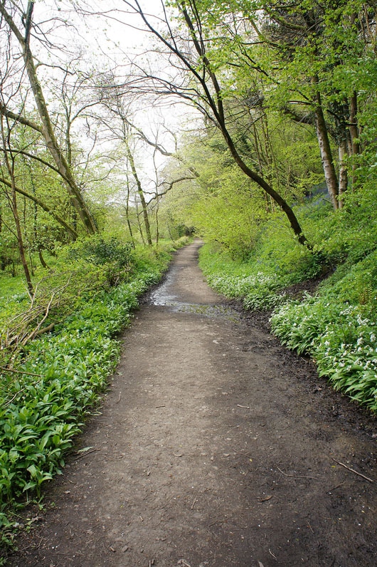
On the path from Stanalee Lane down to Brock Bottom through Gill Wood
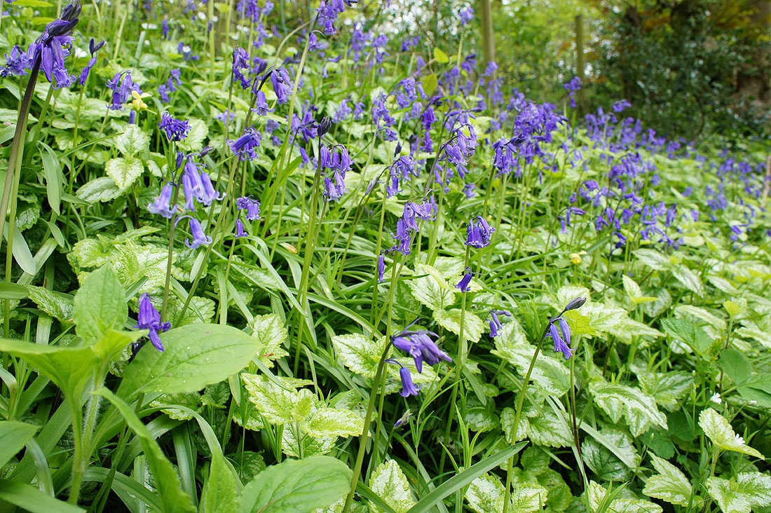
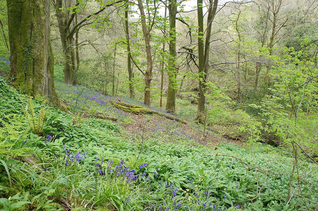
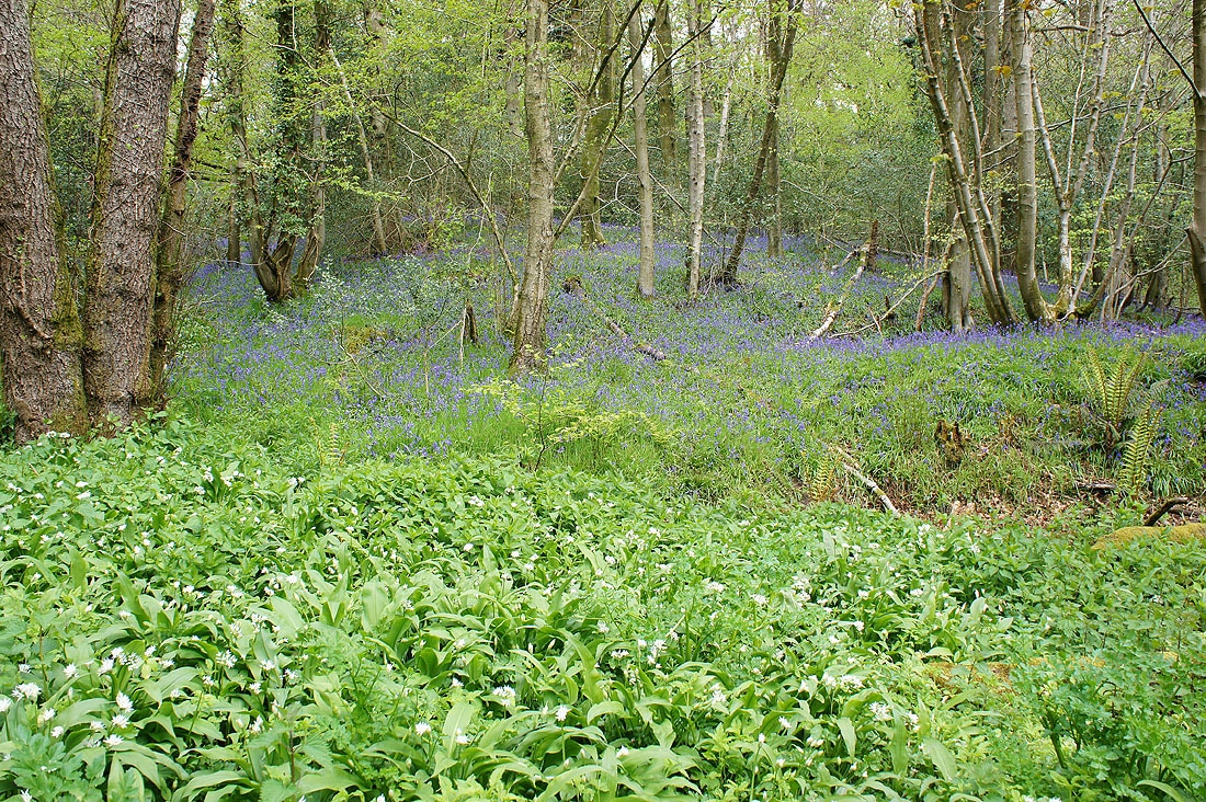
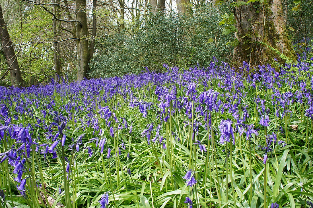
There are already plenty of bluebells and wild garlic in flower..
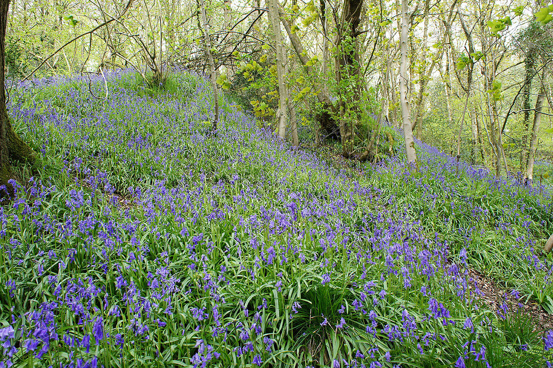
I briefly walk west along the Brock Valley Nature Trail to get a photo of the bluebells that cover the hillside along here..
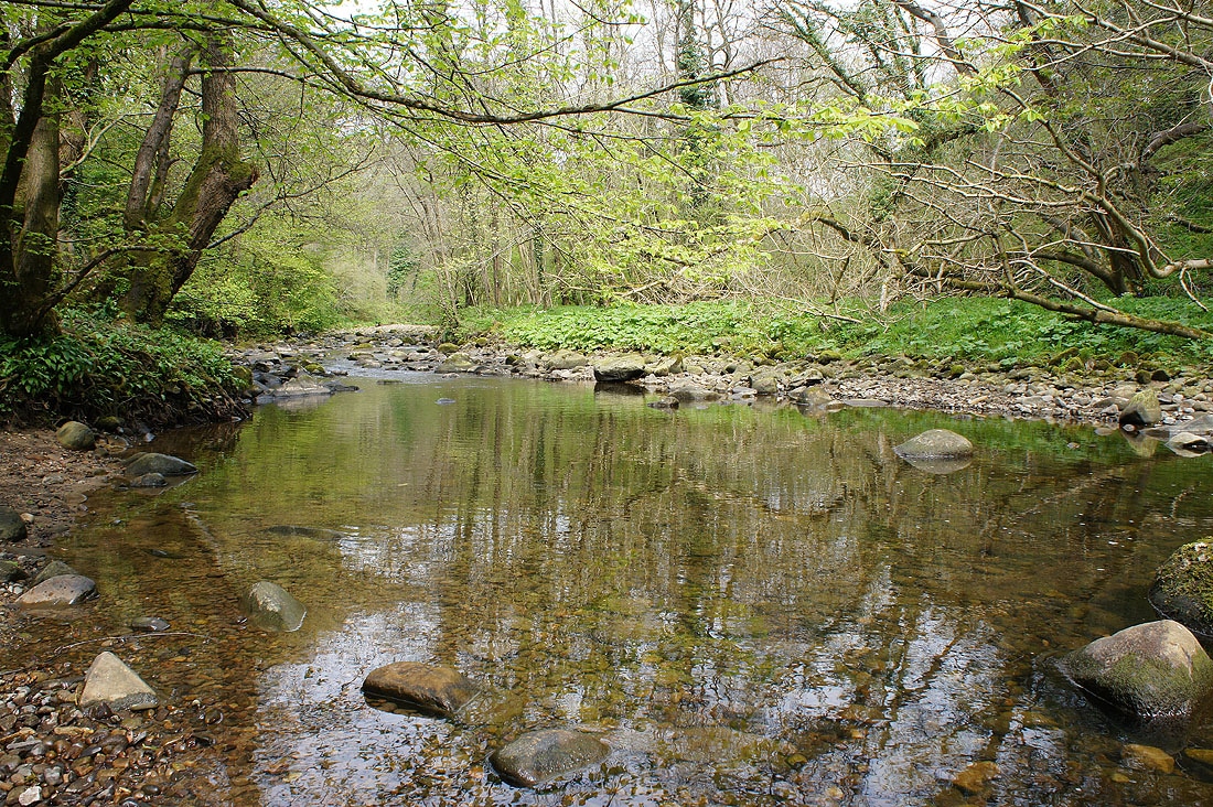
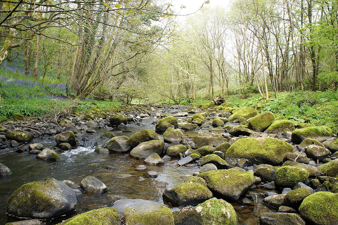
Back by the River Brock at Brock Bottom
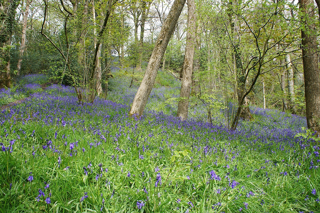
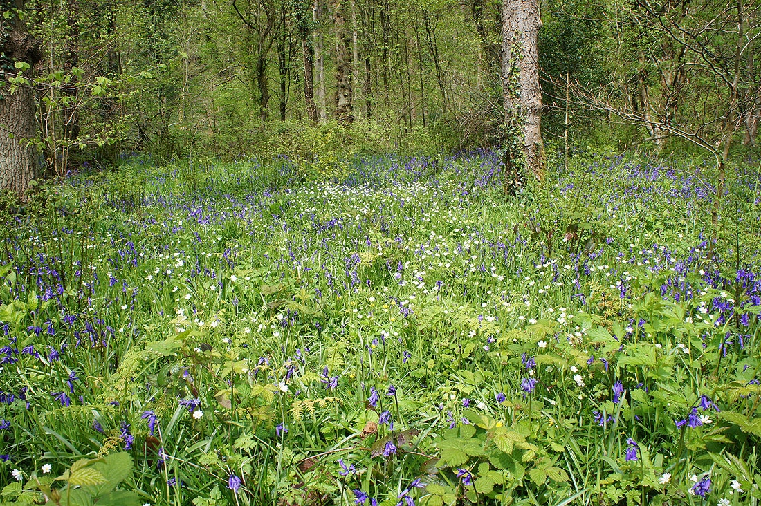
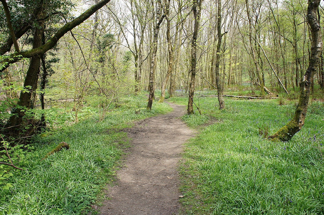
Plenty of bluebells in flower as I follow the path to the picnic site at Higher Brock Bridge...
and there's Lesser Stitchwort in bloom as well
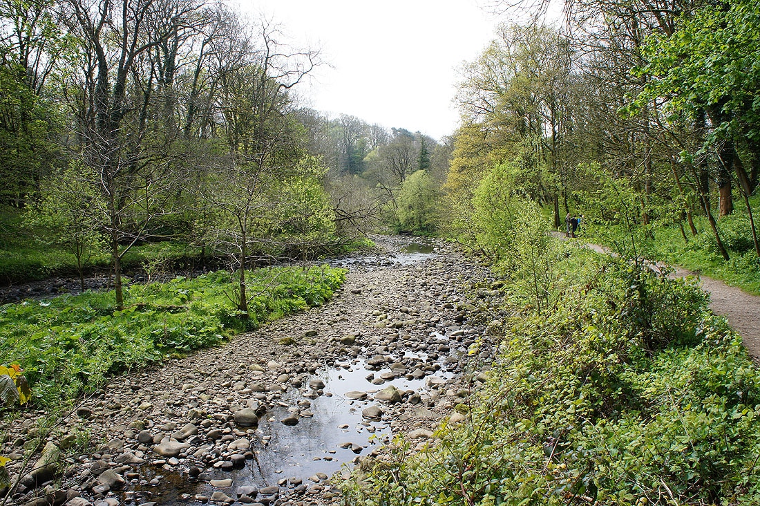
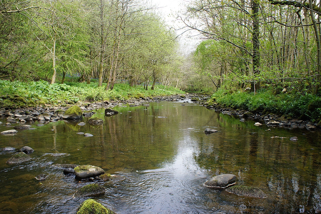
The River Brock from the picnic site
Having had my lunch at the picnic site I continue on the other side of Higher Brock Bridge by following the path by the river to Snape Rake Lane...
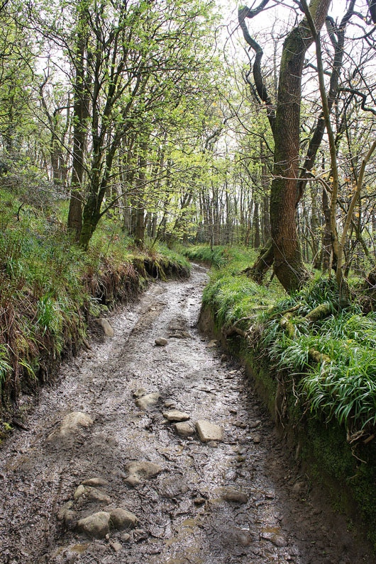
The muddy track of Snape Rake Lane heads uphill and becomes a surfaced road
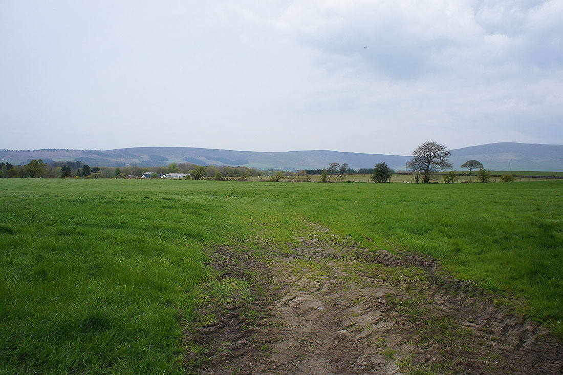
Fair Snape Fell and Parlick from Oakenclough Road
and a final shot of Hazelhurst Fell and Fair Snape Fell before I head back to the car park on Beacon Fell
