30th April 2022 - Hoof Stones Height
Walk Details
Distance walked: 14.7 miles
Total ascent: 2092 ft
OS map used: OL21 - South Pennines
Time taken: 8 hrs
Route description: Widdop Reservoir-Pennine Bridleway-Cludders Slack-Pennine Bridleway-Gorple Stones-Hare Stones-Black Hameldon-Hoof Stones Height-Noah Dale-Hoar Side Moor-Egypt Farm-Pennine Bridleway-Reaps Cross-Heptonstall Moor-Raistrick Greave-Reaps Water-Gorple Lower Reservoir-Pennine Bridleway-Gorple Cottages-Pennine Way-Ridge Scout-Black Dean-New Laithe Farm-Walshaw-Wadsworth Moor-Pennine Way-Pennine Bridleway-Widdop Reservoir
I decided to stay local this weekend and have a walk in the South Pennines. After a bit of time poring over my OS map I worked out a route that would take me to the top of a hill that I've not been to for a long time, Hoof Stones Height, my only previous visit being eleven years ago, and the moorland around Noah Dale, which is the valley immediately to its east and this was new territory for me. The rest of the route was very familiar and I've found myself walking in this part of the South Pennines many times in recent years. The forecast was for a fine morning and early afternoon with plenty of sunshine, and then for thickening cloud during the rest of the afternoon to eventually bring rain. With this in mind I decided to head for Hoof Stones Height first so that I was on its summit during the best conditions of the day. I set off from the car park by Widdop Reservoir on what turned out to be beautiful spring morning with wall-to-wall blue skies and sunshine, and it stayed that way into the early afternoon, but with it staying bright as the afternoon wore on I decided to extend the walk to take in Wadsworth Moor. While I was up there it did become quite grey and overcast.
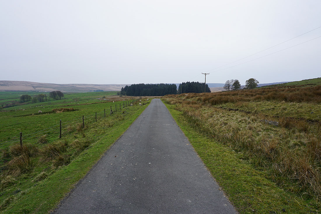
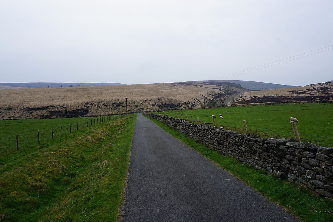
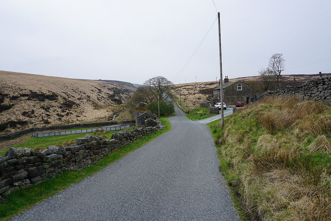
From the car park next to Widdop Reservoir I took the Pennine Bridleway across its dam, then left it to make the short ascent to the eastern end of the gritstone crags of Cludders Slack. Once I'd taken in the view I made my west along the crags, joined the Pennine Bridleway as it came up from below them, and followed it west to its summit below Gorple Stones. I took in the view from the Gorple Stones, then crossed the Pennine Bridleway and followed the path down Hare Stones Hill to the Hare Stones, then up and across the moorland of Black Hameldon to arrive at the trig point on Hoof Stones Height. After a short break I left the trig point behind by following the path east down into Noah Dale. Just past the ruins of a dam I could have taken a public footpath further down into Noah Dale but I found it easier to keep to access land, and with the aid of a quadbike track I made my way along the edge of Hoar Side Moor to reach the track to Egypt Farm. Just past Egypt Farm and the track met the Pennine Bridleway, which I briefly followed north, and then I took a path west to the remains of Reaps Cross. I then made my way across Heptonstall Moor to the ruins of Raistrick Greave, down the footpath by Clegg Foot, and across Reaps Water to the track on its other side, where I stopped for lunch by a shooting hut. After this break I walked down the track by Gorple Lower Reservoir, across its dam, and to Gorple Cottages, where I took the Pennine Way down to Graining Water. Once across the two footbridges I took the path east along Ridge Scout down to the Widdop Road, which I briefly walked down, and then took a footpath on the left across Alcomden Water and east above Black Dean to reach a footpath up through fields to the track at New Laithe Farm. After walking along the track to Walshaw I took the track up and across Wadsworth Moor, and down to the Pennine Way by Walshaw Dean Middle Reservoir. I then followed the Pennine Way past Walshaw Dean Lower Reservoir and down the lane to the Widdop Road at Clough Foot, where I turned right and walked up the road back to the car park by Widdop Reservoir.
Total ascent: 2092 ft
OS map used: OL21 - South Pennines
Time taken: 8 hrs
Route description: Widdop Reservoir-Pennine Bridleway-Cludders Slack-Pennine Bridleway-Gorple Stones-Hare Stones-Black Hameldon-Hoof Stones Height-Noah Dale-Hoar Side Moor-Egypt Farm-Pennine Bridleway-Reaps Cross-Heptonstall Moor-Raistrick Greave-Reaps Water-Gorple Lower Reservoir-Pennine Bridleway-Gorple Cottages-Pennine Way-Ridge Scout-Black Dean-New Laithe Farm-Walshaw-Wadsworth Moor-Pennine Way-Pennine Bridleway-Widdop Reservoir
I decided to stay local this weekend and have a walk in the South Pennines. After a bit of time poring over my OS map I worked out a route that would take me to the top of a hill that I've not been to for a long time, Hoof Stones Height, my only previous visit being eleven years ago, and the moorland around Noah Dale, which is the valley immediately to its east and this was new territory for me. The rest of the route was very familiar and I've found myself walking in this part of the South Pennines many times in recent years. The forecast was for a fine morning and early afternoon with plenty of sunshine, and then for thickening cloud during the rest of the afternoon to eventually bring rain. With this in mind I decided to head for Hoof Stones Height first so that I was on its summit during the best conditions of the day. I set off from the car park by Widdop Reservoir on what turned out to be beautiful spring morning with wall-to-wall blue skies and sunshine, and it stayed that way into the early afternoon, but with it staying bright as the afternoon wore on I decided to extend the walk to take in Wadsworth Moor. While I was up there it did become quite grey and overcast.
From the car park next to Widdop Reservoir I took the Pennine Bridleway across its dam, then left it to make the short ascent to the eastern end of the gritstone crags of Cludders Slack. Once I'd taken in the view I made my west along the crags, joined the Pennine Bridleway as it came up from below them, and followed it west to its summit below Gorple Stones. I took in the view from the Gorple Stones, then crossed the Pennine Bridleway and followed the path down Hare Stones Hill to the Hare Stones, then up and across the moorland of Black Hameldon to arrive at the trig point on Hoof Stones Height. After a short break I left the trig point behind by following the path east down into Noah Dale. Just past the ruins of a dam I could have taken a public footpath further down into Noah Dale but I found it easier to keep to access land, and with the aid of a quadbike track I made my way along the edge of Hoar Side Moor to reach the track to Egypt Farm. Just past Egypt Farm and the track met the Pennine Bridleway, which I briefly followed north, and then I took a path west to the remains of Reaps Cross. I then made my way across Heptonstall Moor to the ruins of Raistrick Greave, down the footpath by Clegg Foot, and across Reaps Water to the track on its other side, where I stopped for lunch by a shooting hut. After this break I walked down the track by Gorple Lower Reservoir, across its dam, and to Gorple Cottages, where I took the Pennine Way down to Graining Water. Once across the two footbridges I took the path east along Ridge Scout down to the Widdop Road, which I briefly walked down, and then took a footpath on the left across Alcomden Water and east above Black Dean to reach a footpath up through fields to the track at New Laithe Farm. After walking along the track to Walshaw I took the track up and across Wadsworth Moor, and down to the Pennine Way by Walshaw Dean Middle Reservoir. I then followed the Pennine Way past Walshaw Dean Lower Reservoir and down the lane to the Widdop Road at Clough Foot, where I turned right and walked up the road back to the car park by Widdop Reservoir.
Route map
© Crown copyright. All rights reserved. License number PU 100034184.
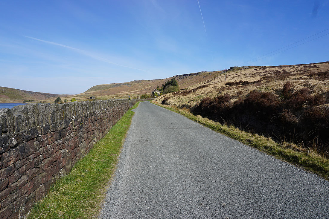
The gritstone edge of The Scout ahead as I walk along the road from the car park to the bridleway across the dam of Widdop Reservoir
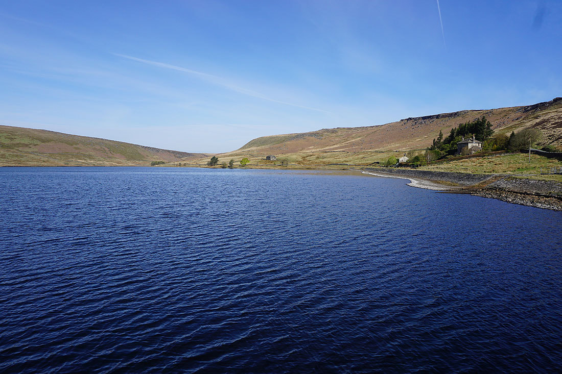
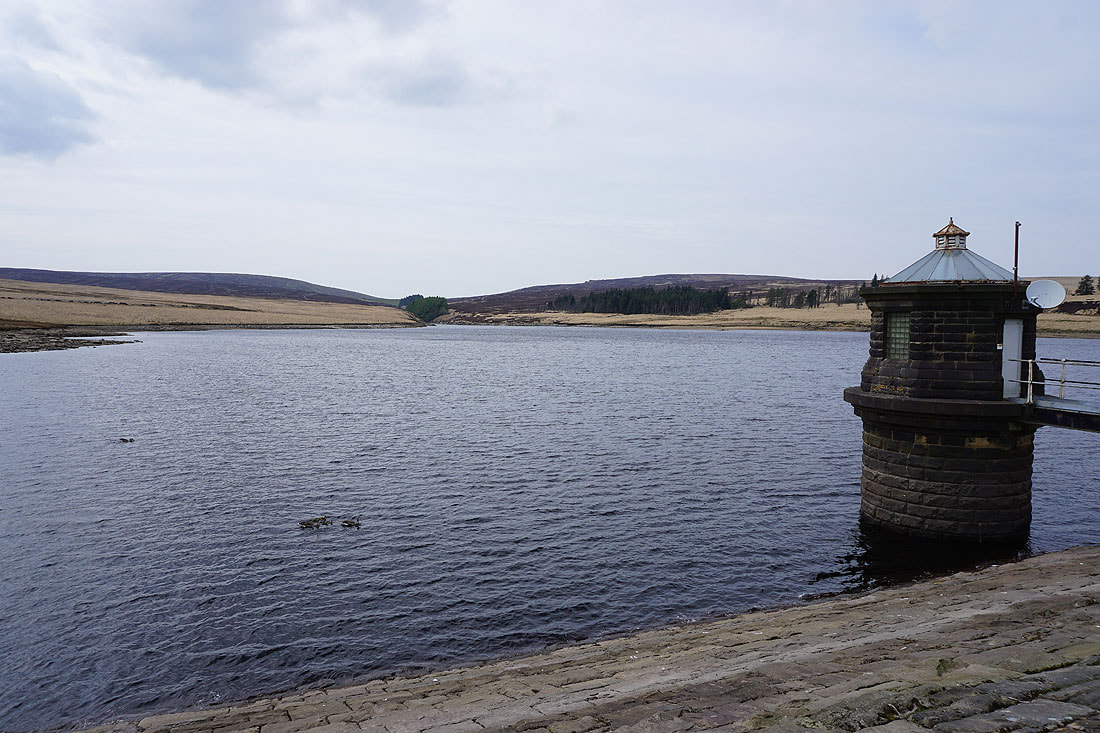
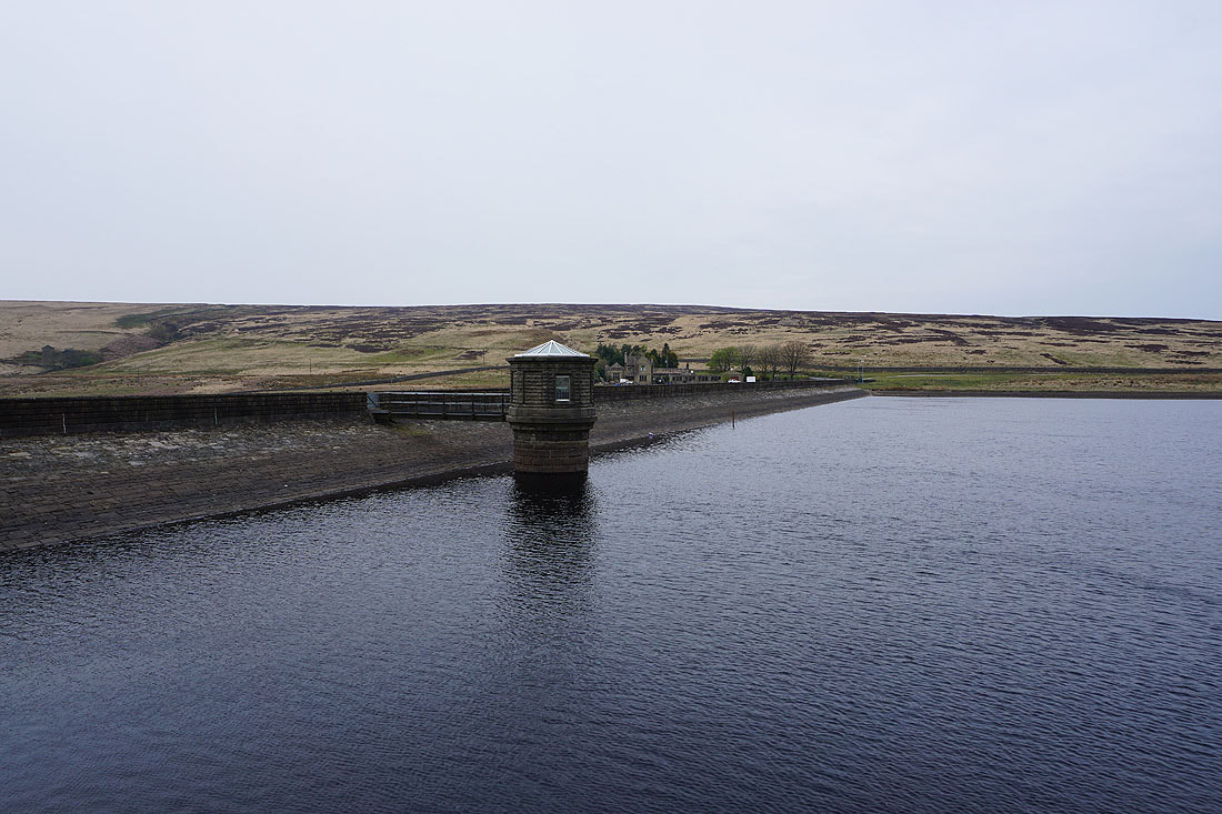
Widdop Reservoir from its dam, with Widdop Lodge in the trees on the right
After a short climb I reach the eastern end of the gritstone crags of Cludders Slack, and I get a better view of Widdop Reservoir
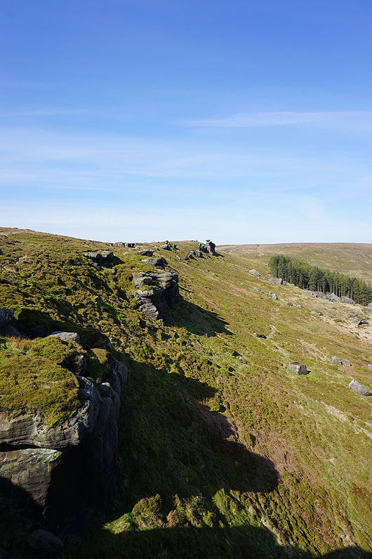
Looking west along Cludders Slack
Looking across Widdop Reservoir to Grey Stone Hill and the gritstone edge of The Scout as I make my way along the crags..
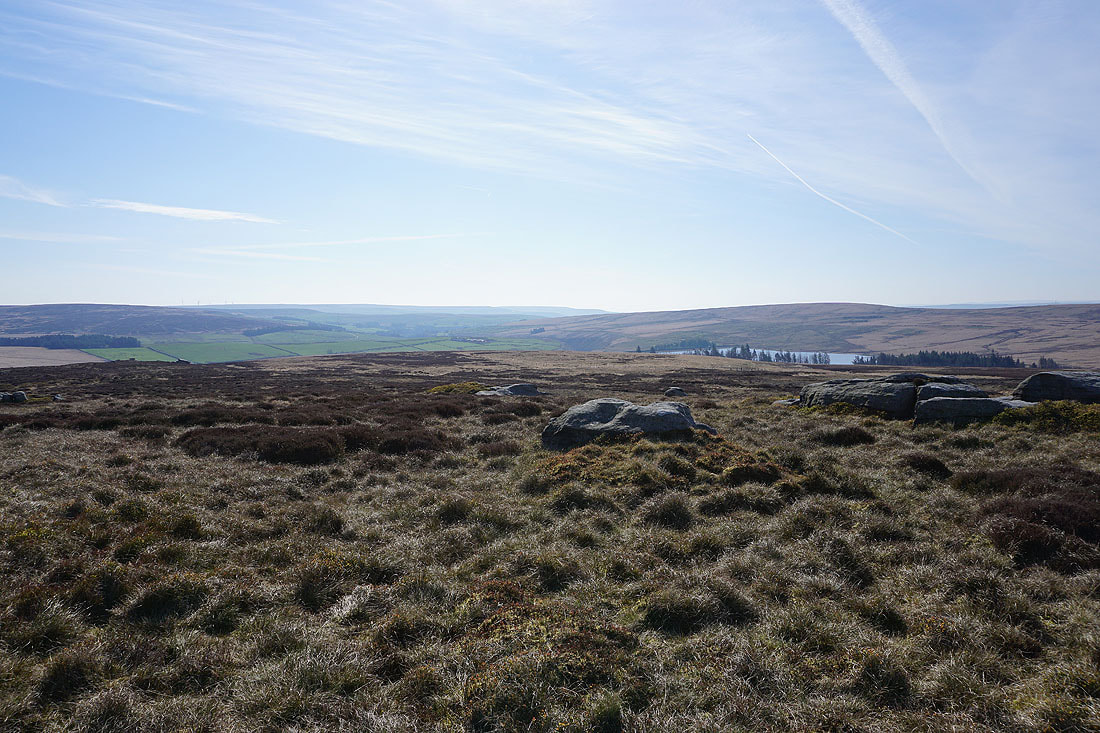
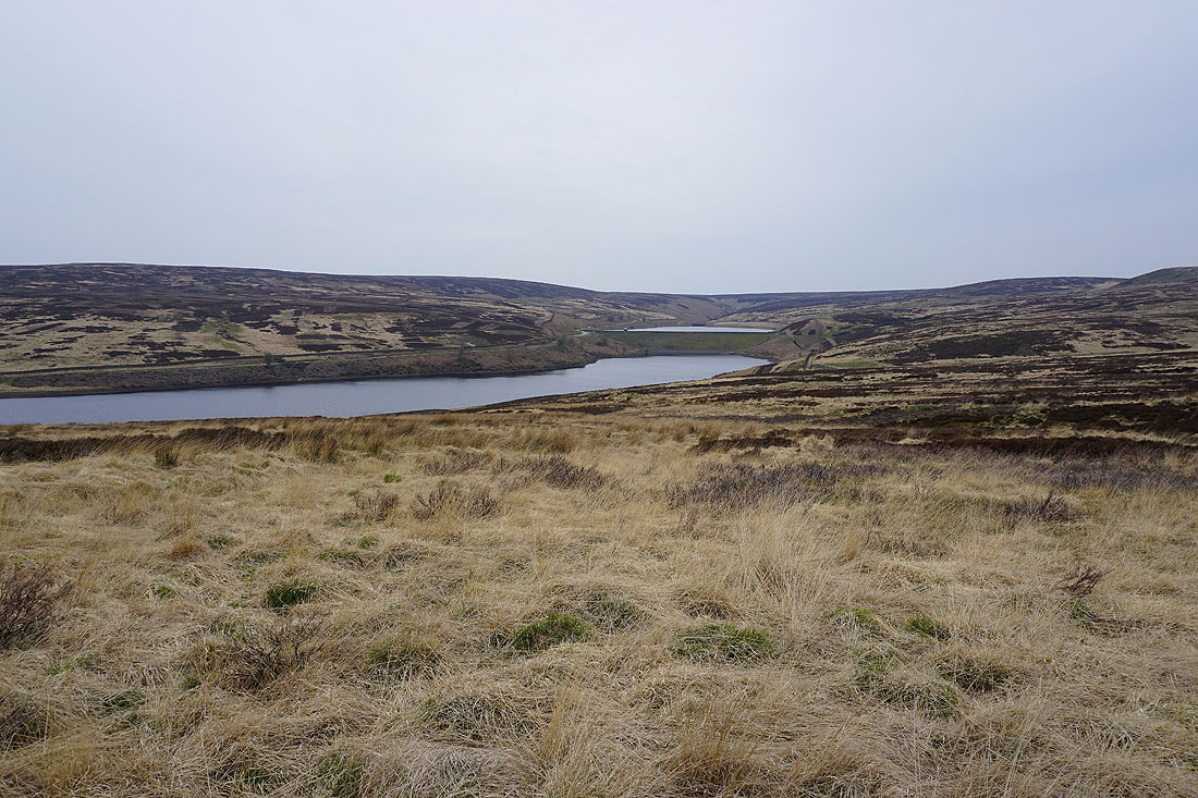
and east to Gorple Lower Reservoir and the moors around the top of Hebden Dale
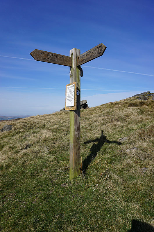
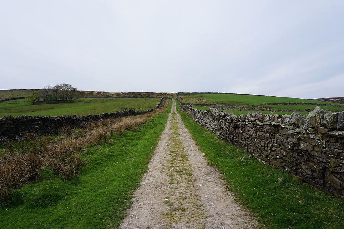
Back onto the Pennine Bridleway
At Shuttleworth Rocks, and the Pennine Bridleway heads west to pass beneath the Gorple Stones
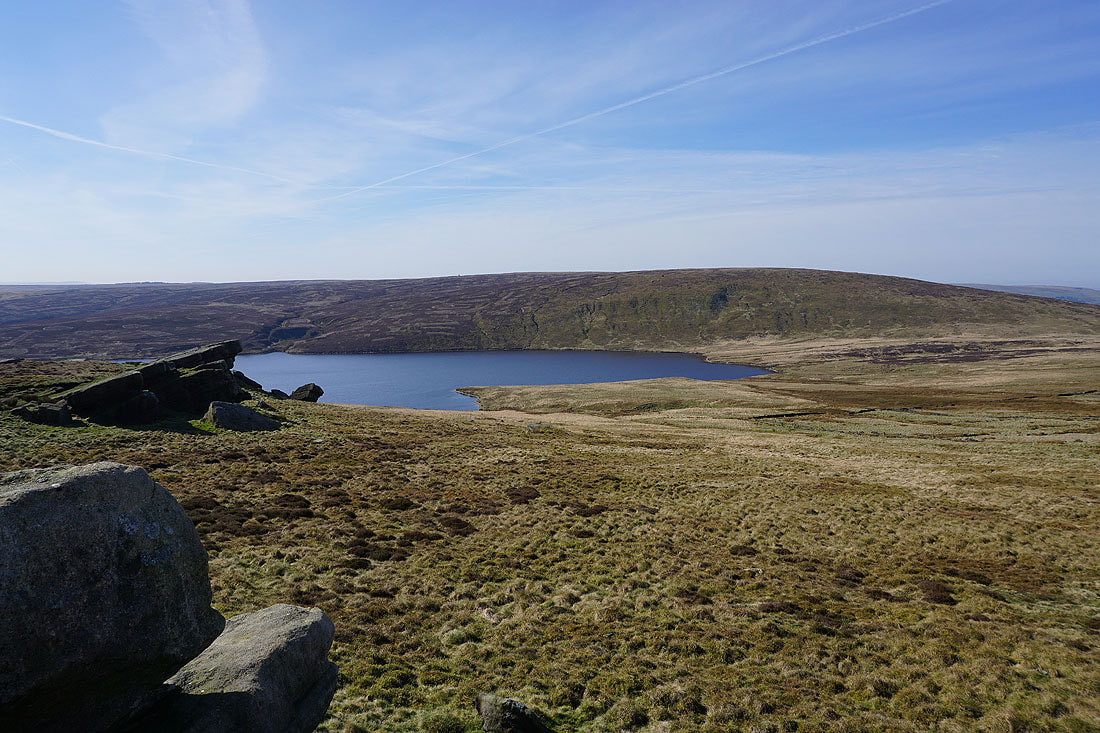
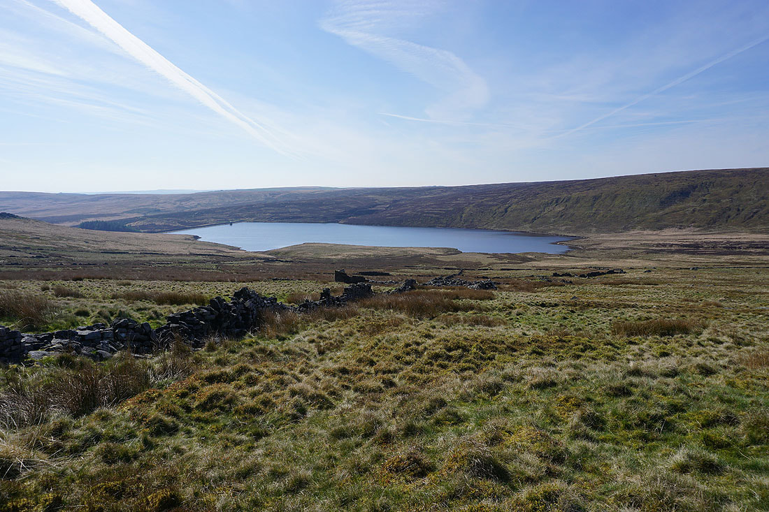
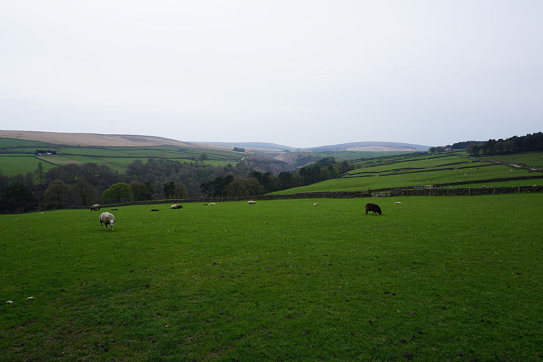
Gorple Upper Reservoir and the moorland of Black Hameldon
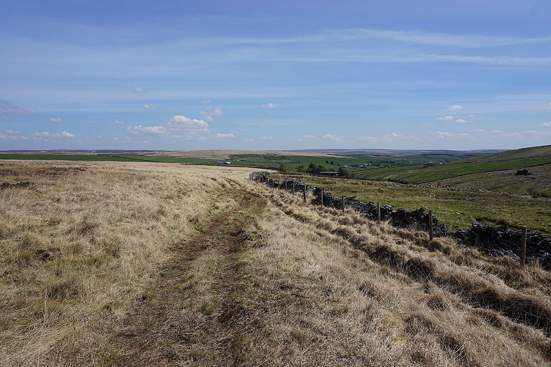
Following the Pennine Bridleway west to the Gorple Stones
Passing the tumbledown walls of Gorple. Any dwelling here would have been abandoned when the reservoir was built.
Pendle Hill from the top of the Pennine Bridleway. This is where I leave it behind.
Gorple Upper Reservoir from Gorple Stones. I couldn't pass by without paying them a visit.
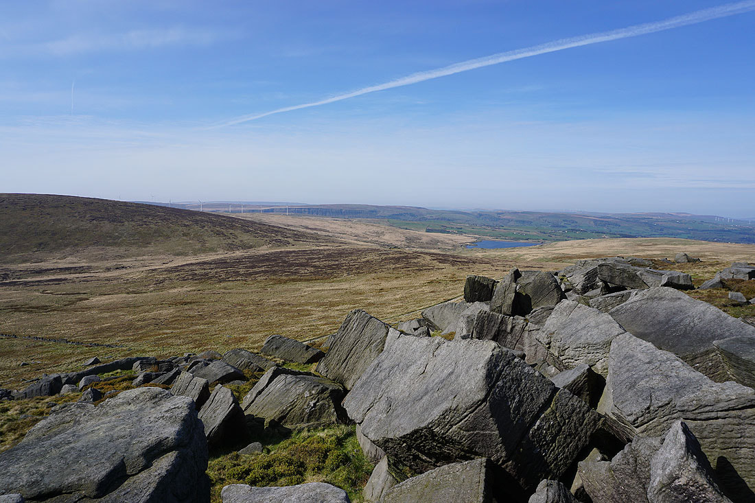
Hare Stones Hill below, which is where I'll be going next, and Cant Clough Reservoir
Pendle Hill from Gorple Stones
On my way down Hare Stones Hill to the Hare Stones
Looking back to the Gorple Stones from Hare Stones
Cant Clough Reservoir with Deerplay Moor and Hameldon Hill in the distance
Looking back to Hare Stones Hill and Gorple Stones as I follow the fence south up onto the moorland of Black Hameldon
A bit higher up and Pendle Hill, Twiston Moor, Wheathead Height, and Weets Hill come into view beyond Extwistle Moor
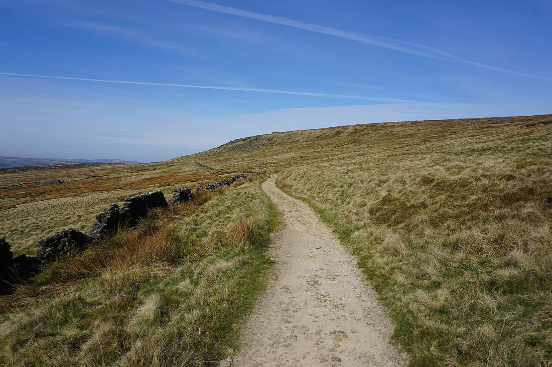
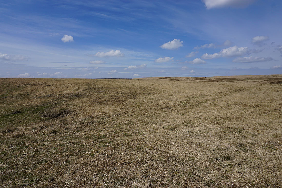
Heading for Hoof Stones Height. The going underfoot is a bit boggy in places.
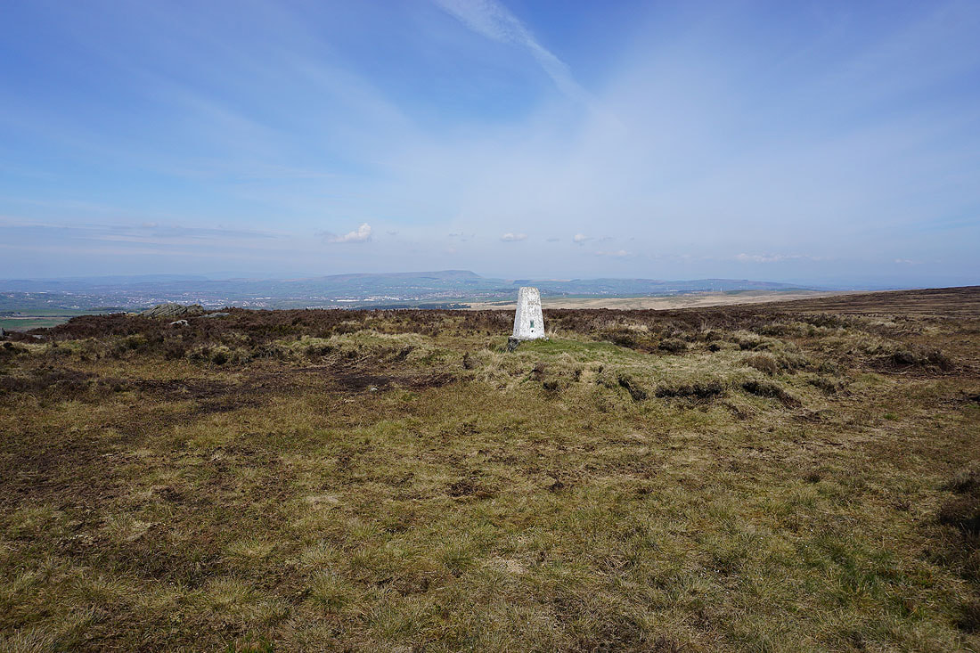
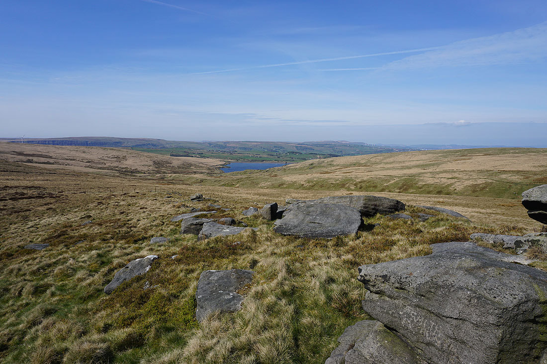
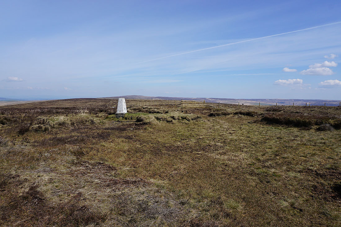
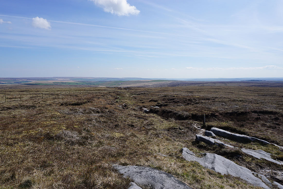
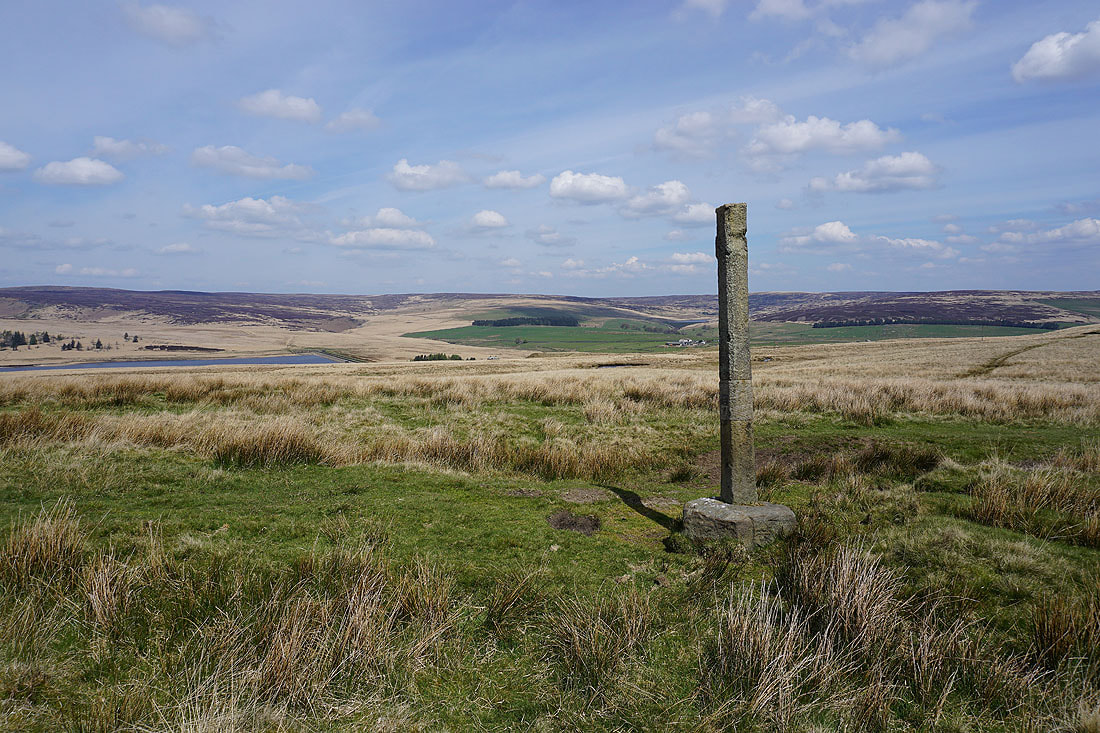
At the trig point on Hoof Stones Height, and there's a pretty good view to take in today. Pendle Hill in the distance to the northwest.
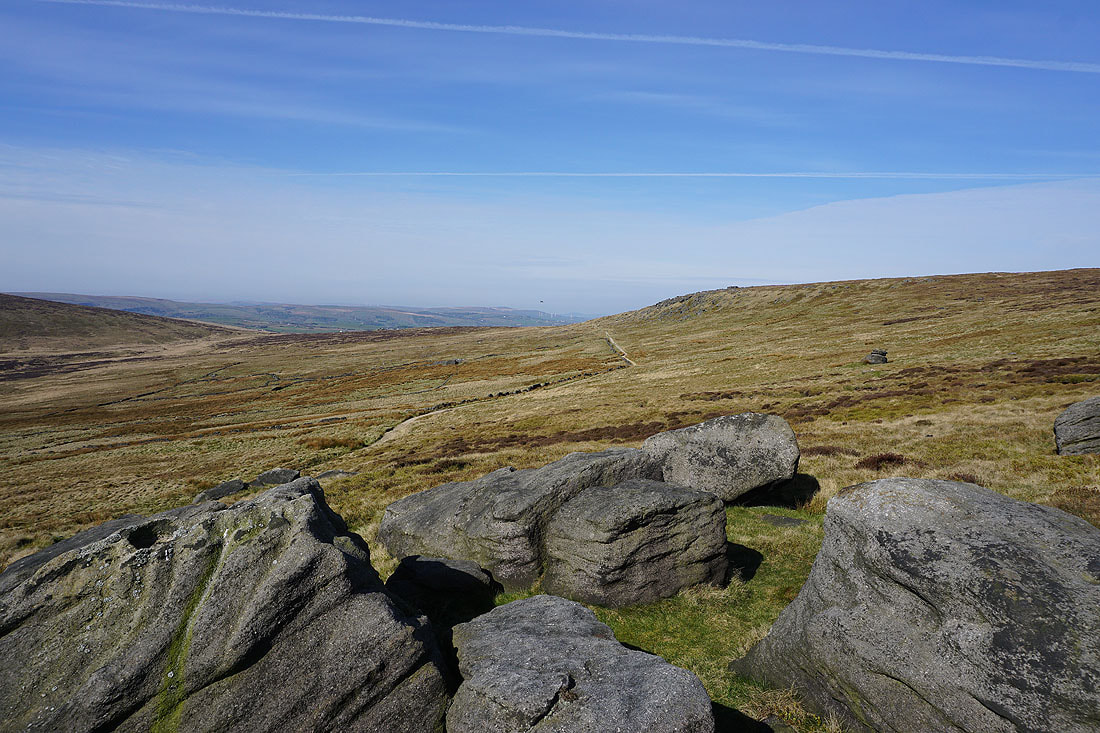
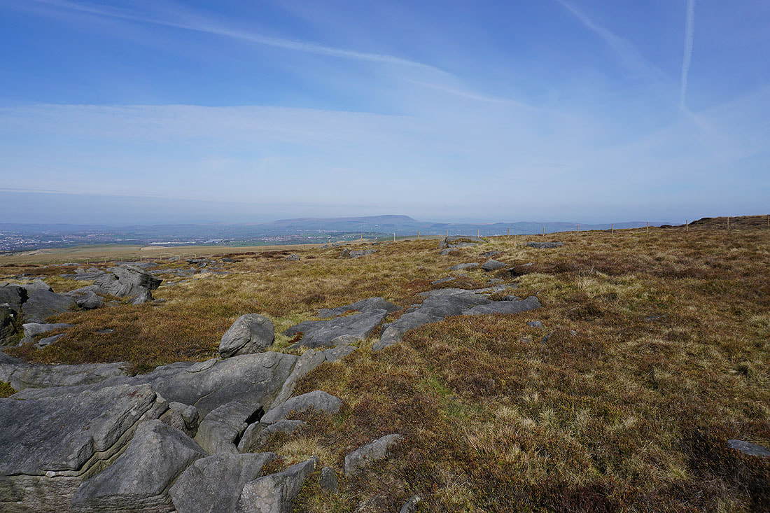
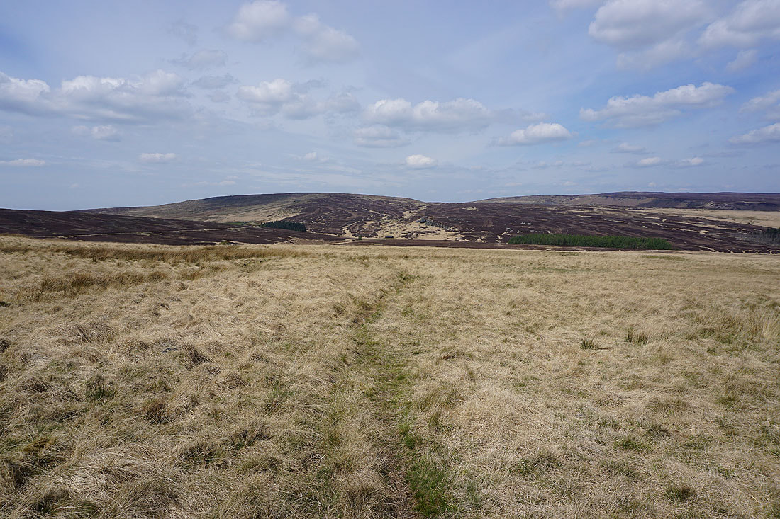
Shore Moor, Freeholds Top, and Todmorden Moor to the south
Thieveley Scout and Thieveley Pike, Deerplay Moor, and Hamledon Hill to the southwest and west
Finally, the top of Boulsworth Hill in the distance behind the trig point
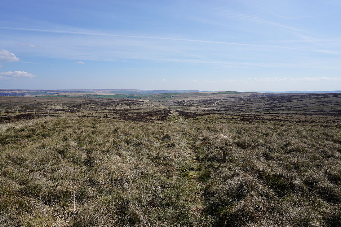
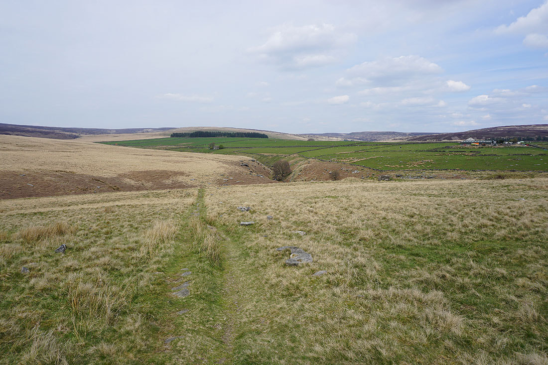
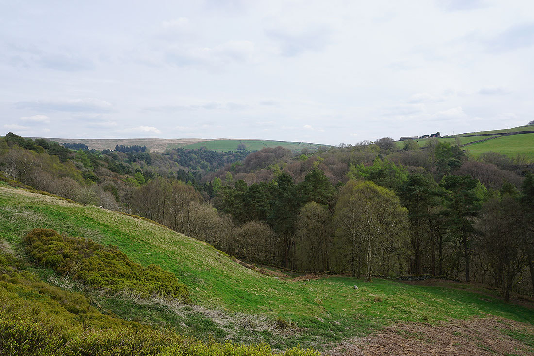
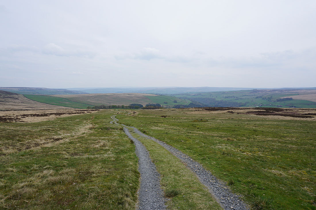
I leave the trig point behind and take the path east, down into Noah Dale. The moorland around Hebden Dale is laid out before me..
Passing the remains of a small dam in Noah Dale
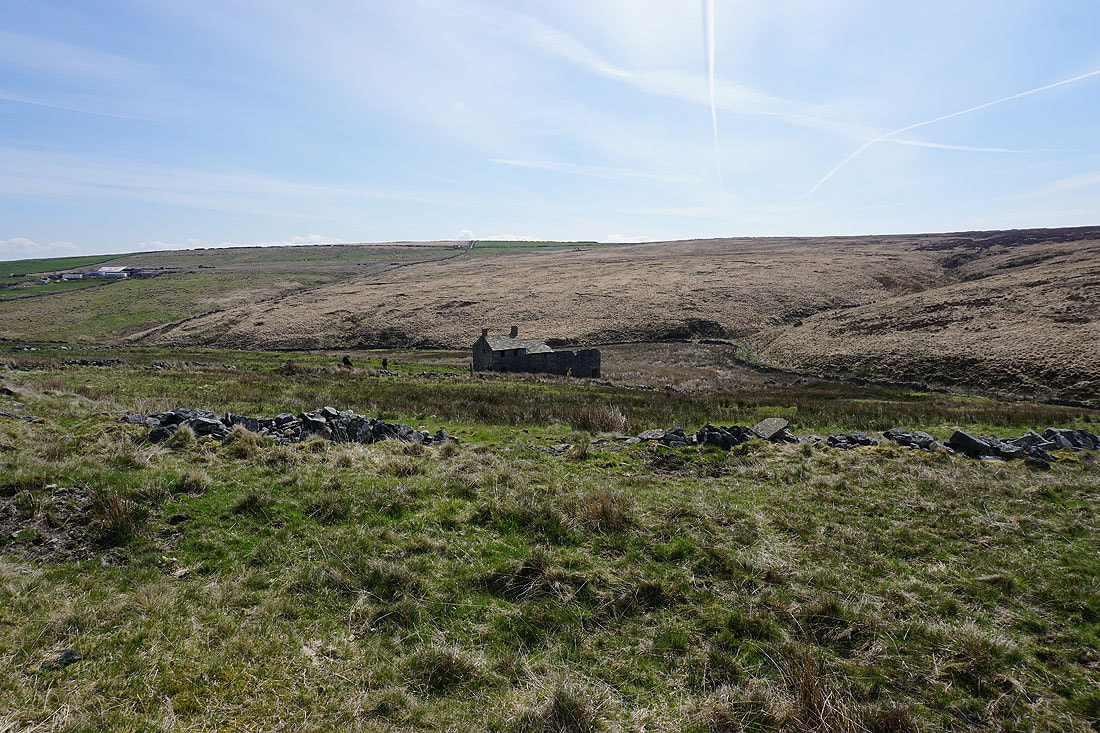
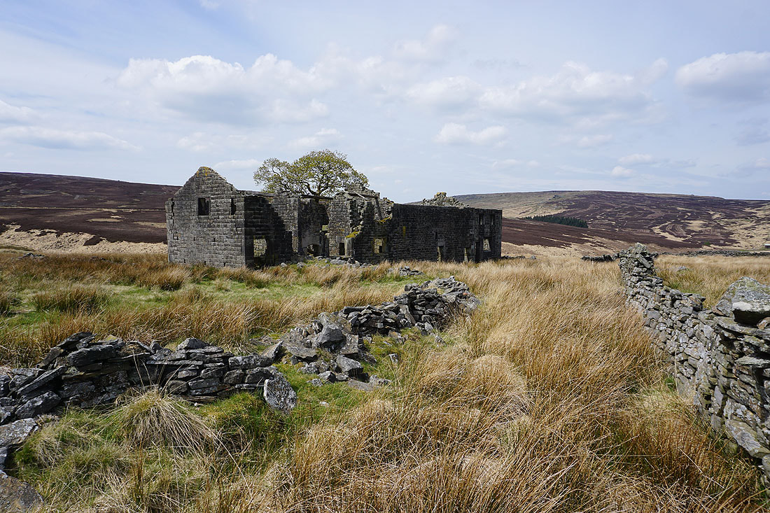
and the ruins of a farm
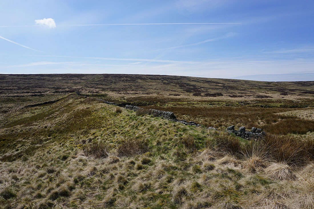
Instead of taking the public footpath down Noah Dale, I keep on access land and follow a quadbike track along the edge of Hoar Side Moor
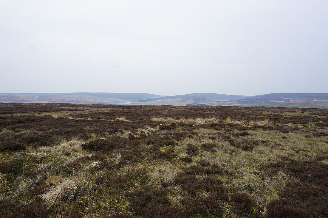
Hoar Side Moor. It's turned into a lovely spring afternoon.
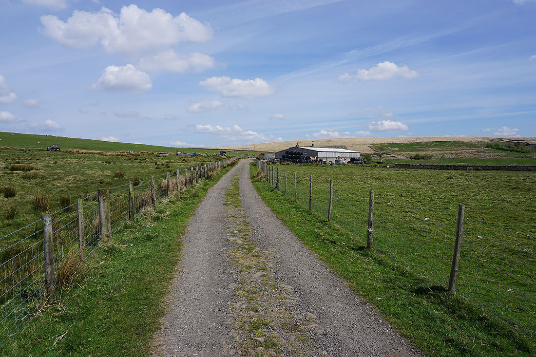
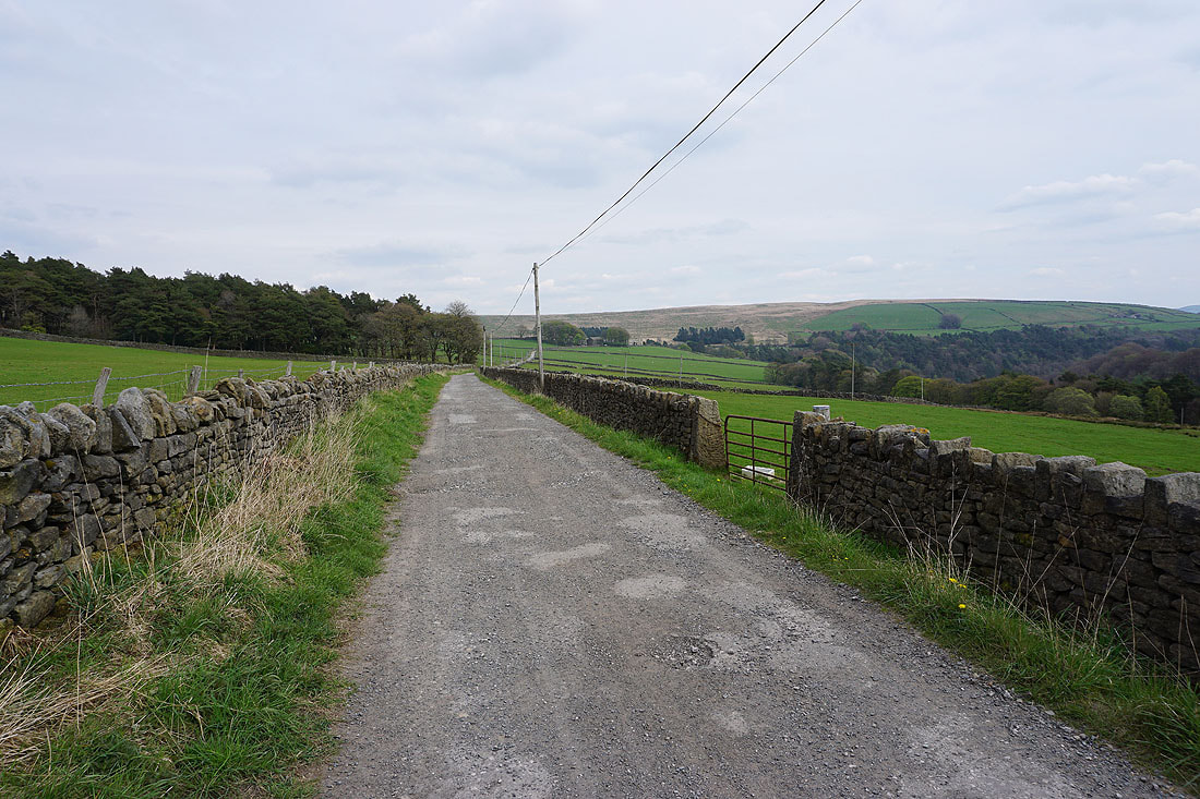
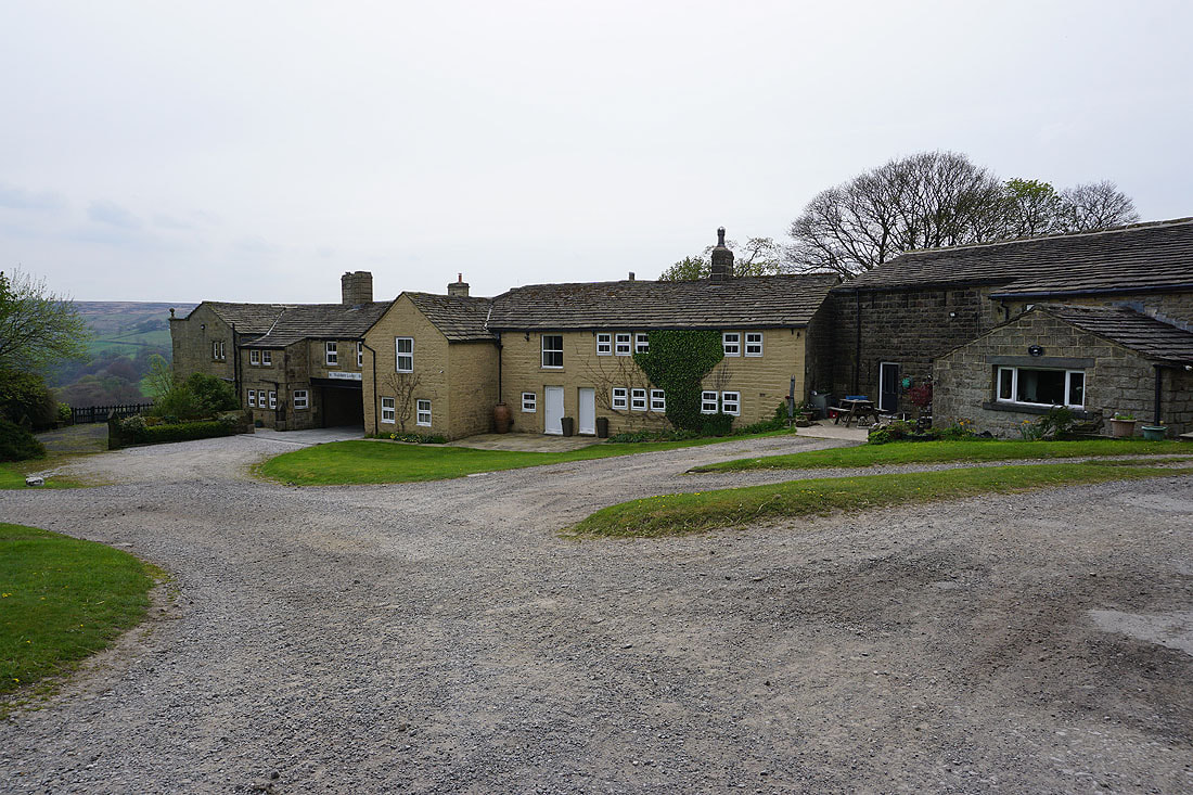
On the track past Egypt Farm
Looking back past Egypt Farm to Stansfield Moor and Hoar Side Moor around Noah Dale
After briefly being on the Pennine Bridleway after passing Egypt Farm I leave it to reach the remains of Reaps Cross
Standing Stone Hill from Reaps Cross
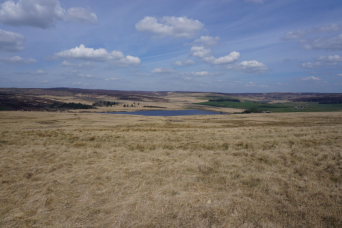
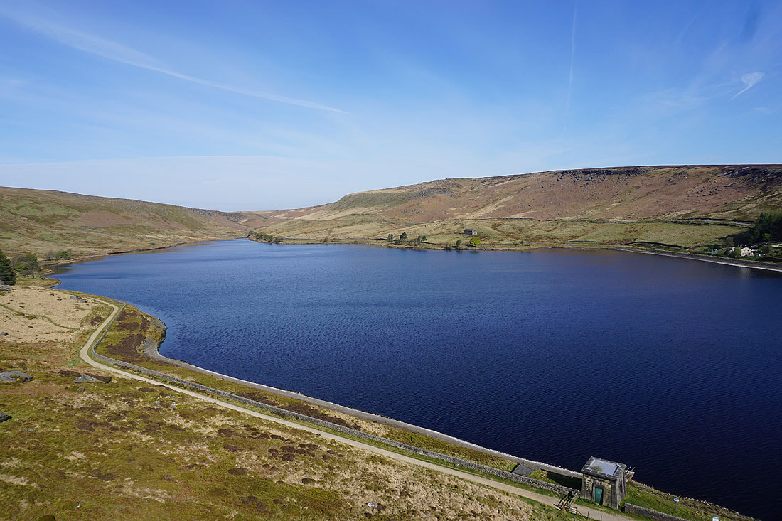
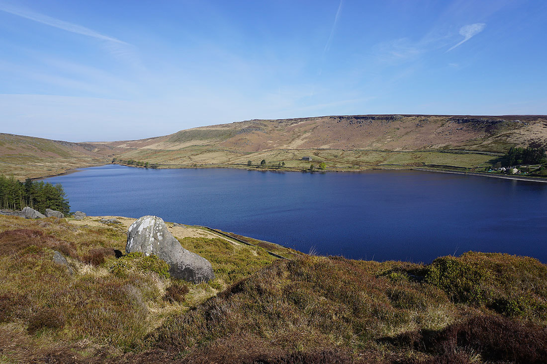
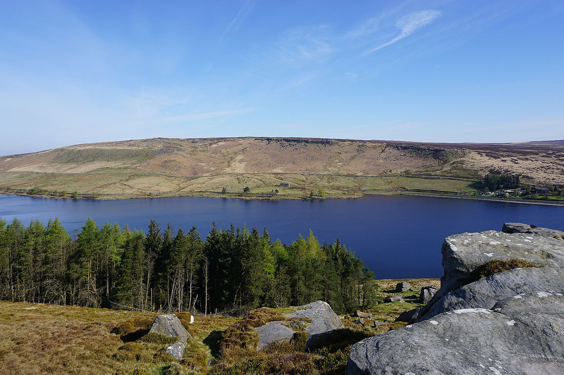
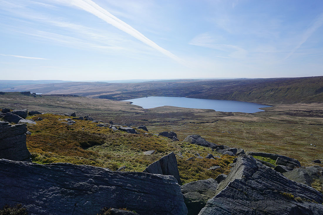
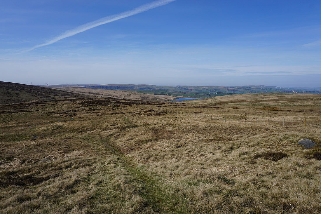
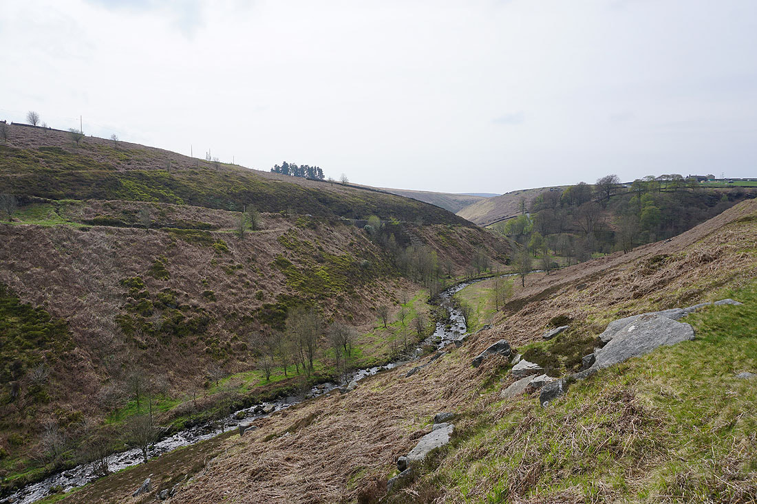
Great view looking across Gorple Lower Reservoir to Widdop Moor
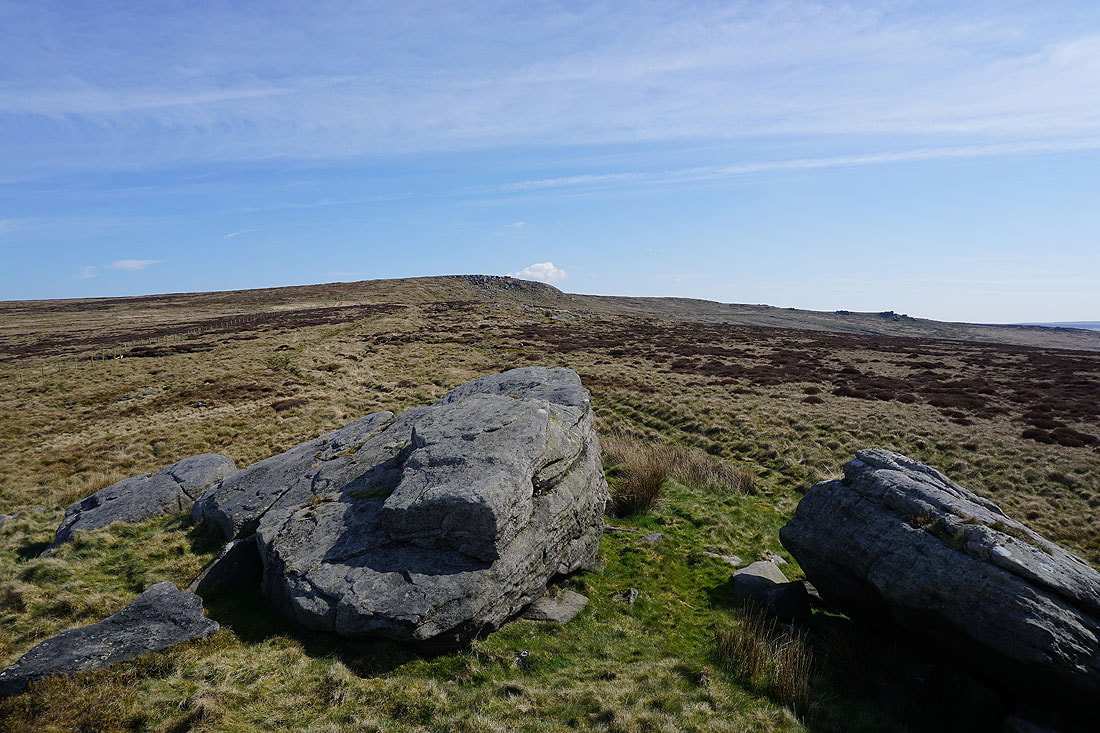
On the path across Heptonstall Moor to Reaps Water with Shuttleworth Moor ahead
The ruins of Raistrick Greave
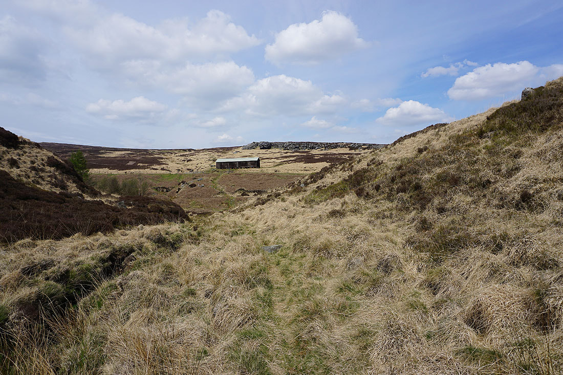
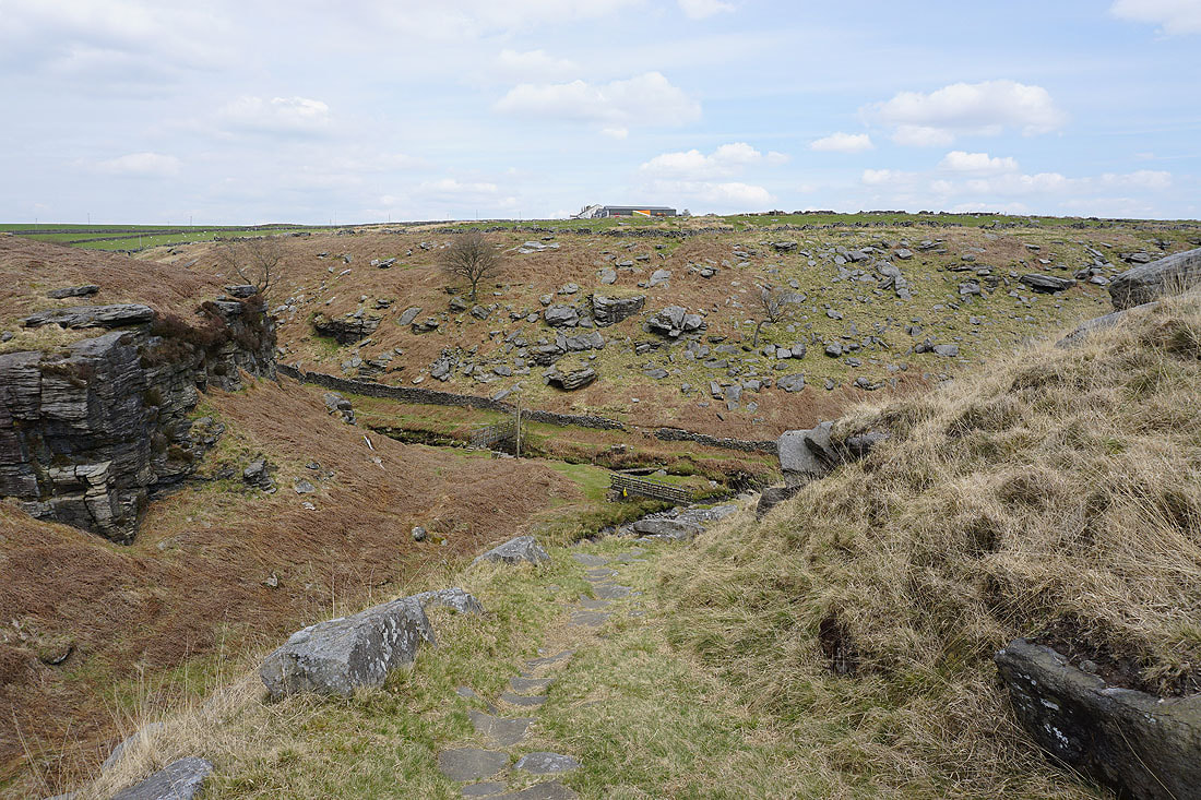
On the path by Clegg Foot down to Reaps Water. I'll stop for lunch at the shooting hut below Dicken Rocks.
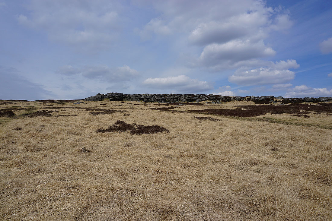
Dicken Rocks
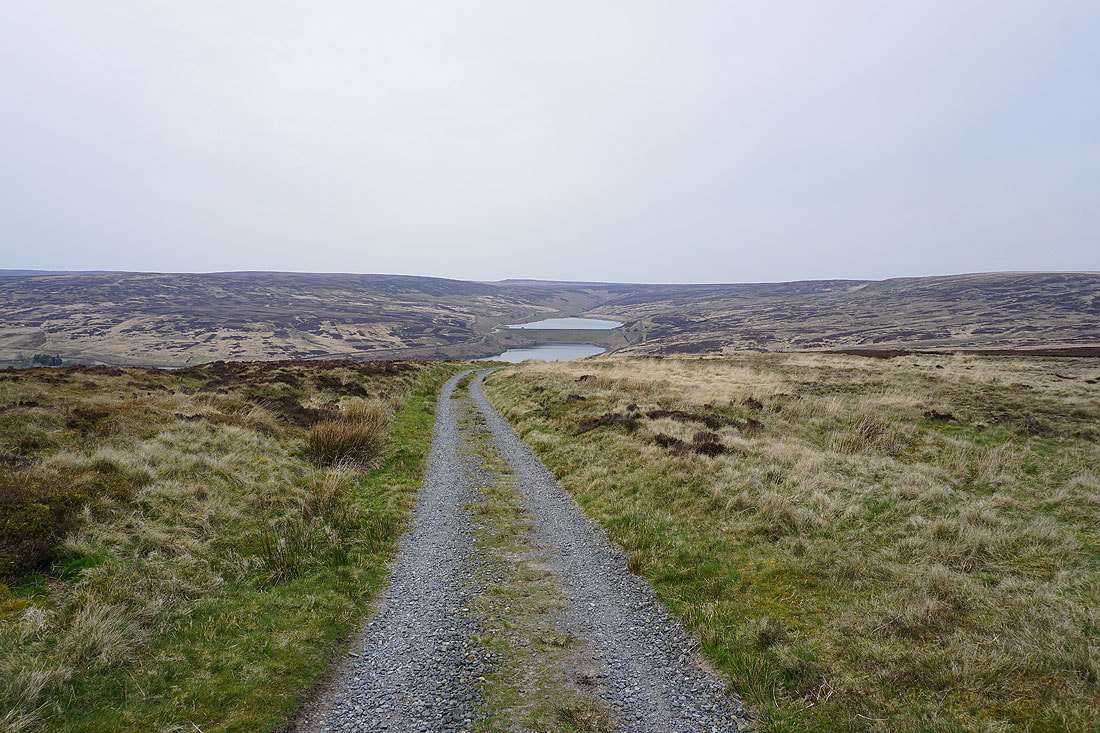
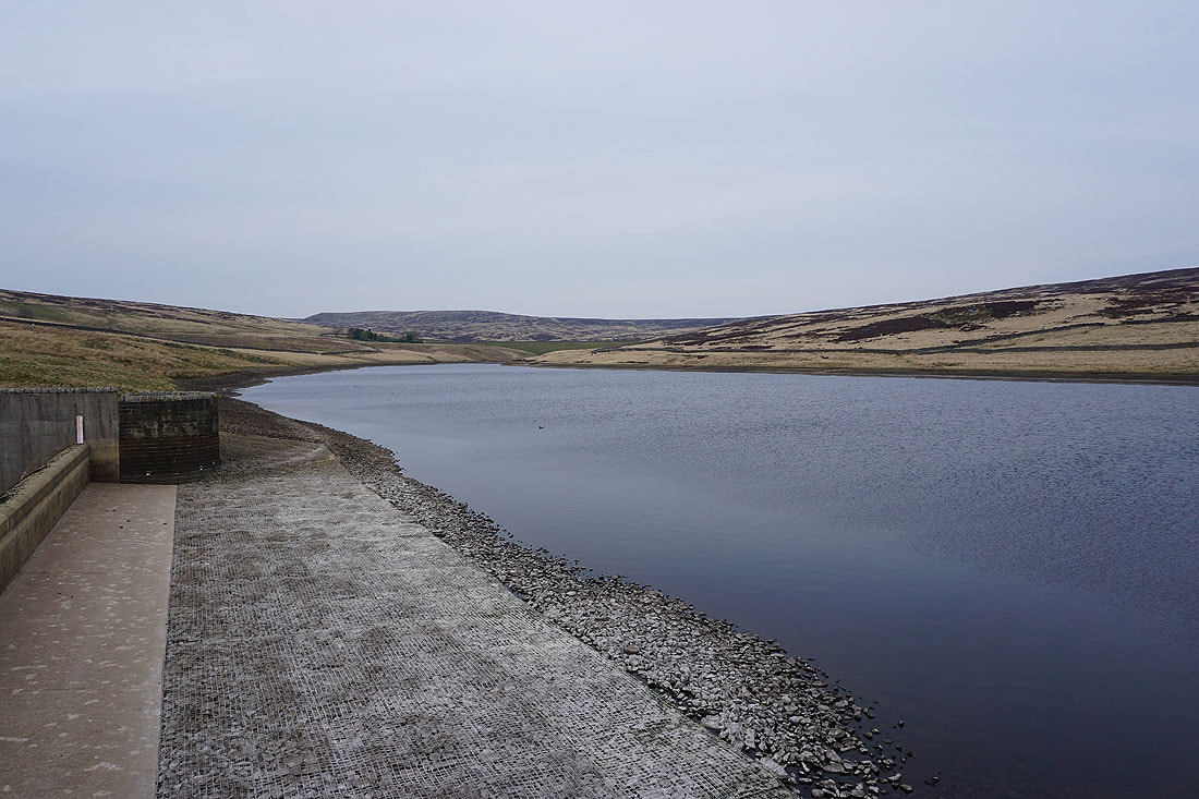
Heading down the track to the dam of Gorple Lower Reservoir
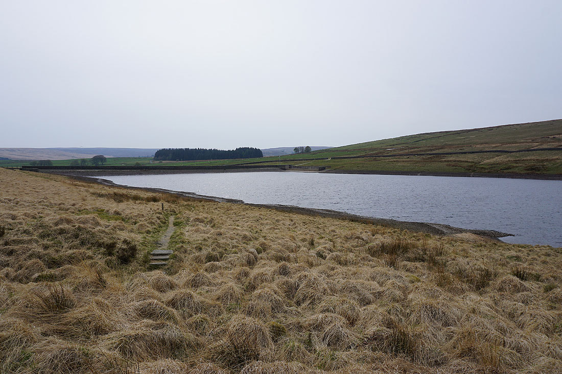
Gorple Lower Reservoir
At Gorple Cottages and I'm briefly on the Pennine Way, down into the valley of Graining Water..
I left the Pennine Way for the path along Ridge Scout down to the bridge carrying the Widdop road over Graining Water
Graining Water from the road bridge
Alcomden Water from the footbridge over it
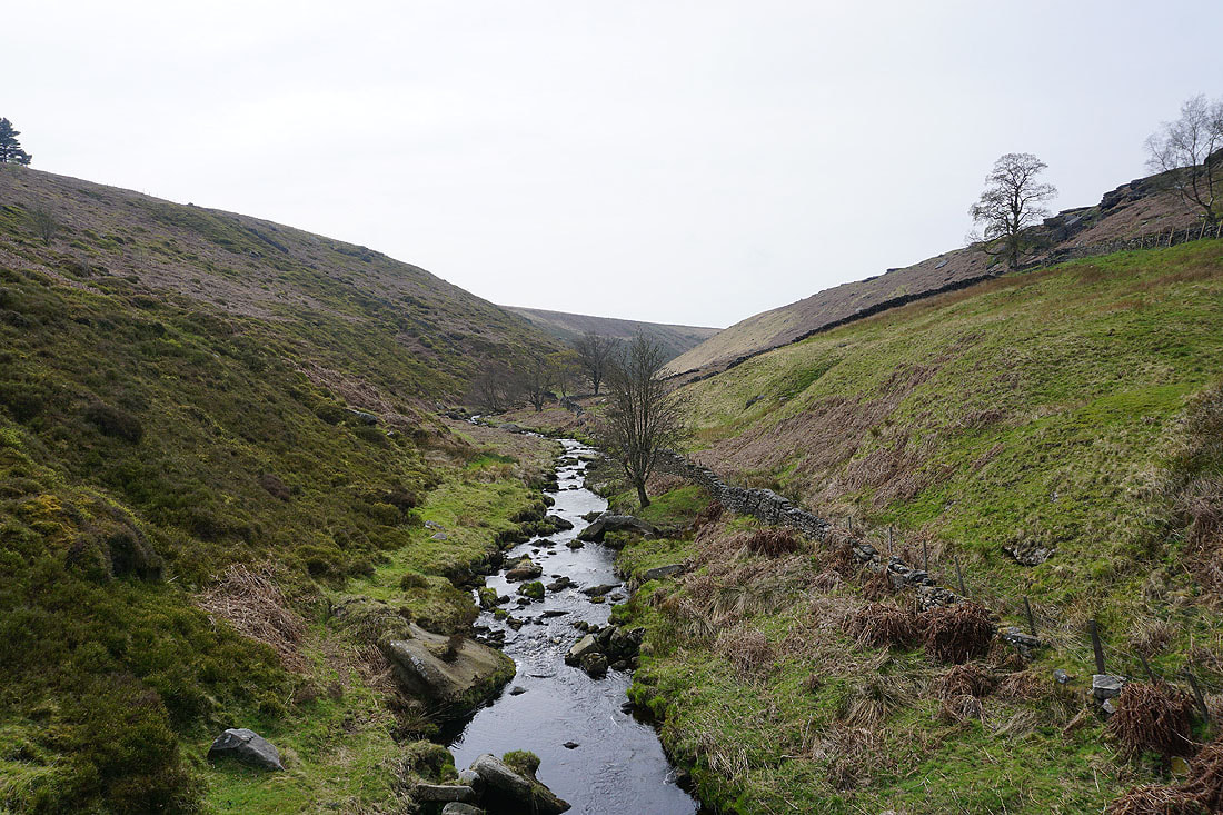
Graining Water and Alcomden Water meet, and become Hebden Water
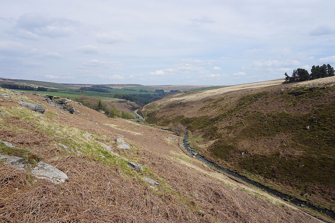
Hebden Water and Black Dean
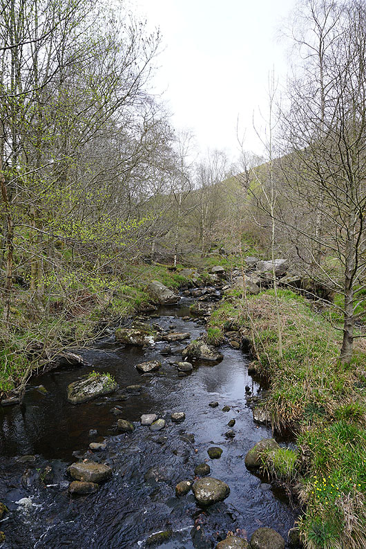
The woodland of Hebden Dale
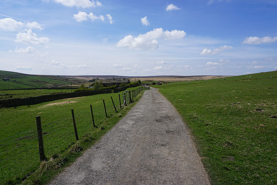
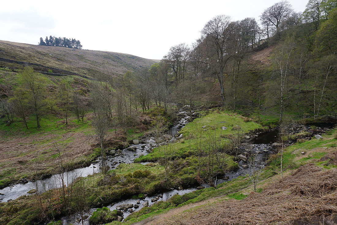
Following the bridleway down Hebden Dale to Walshaw
Looking up Hebden Dale from Walshaw
The hamlet of Walshaw
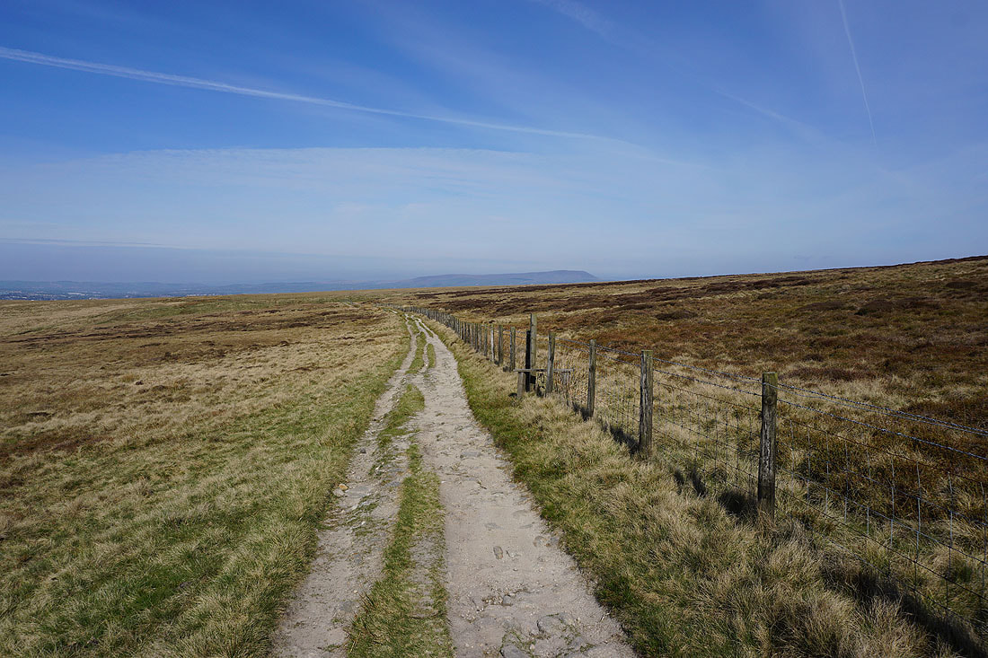
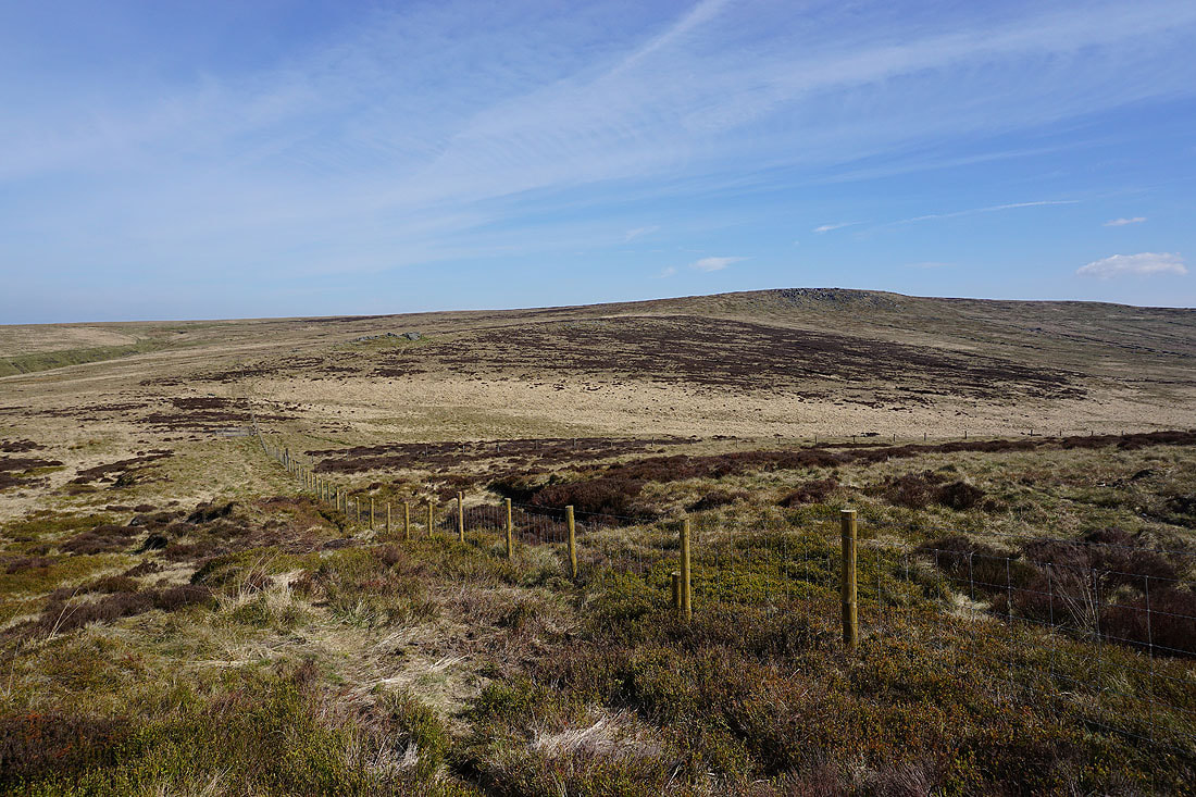
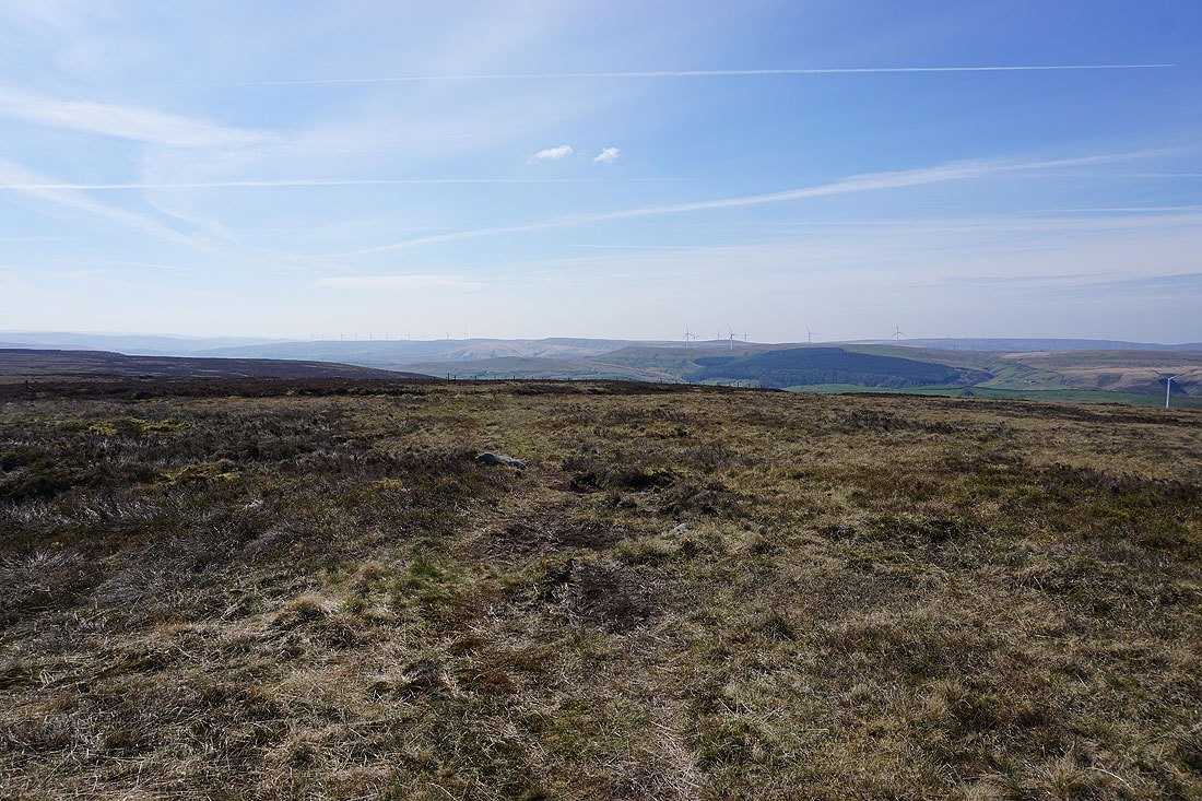
From Walshaw I take the track up and across Wadsworth Moor
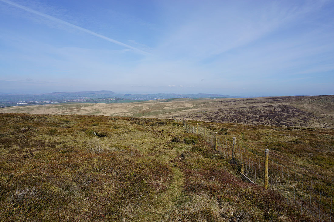
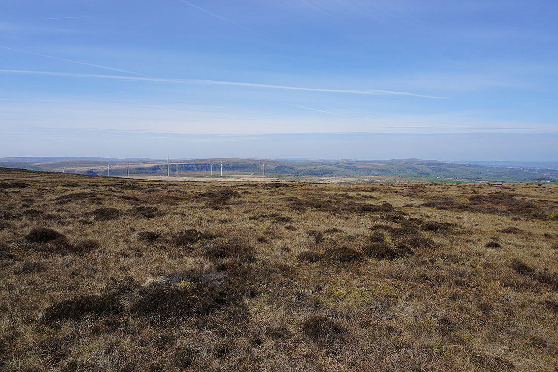
Looking back and I have a view of the moors around Hebden Dale and Calderdale
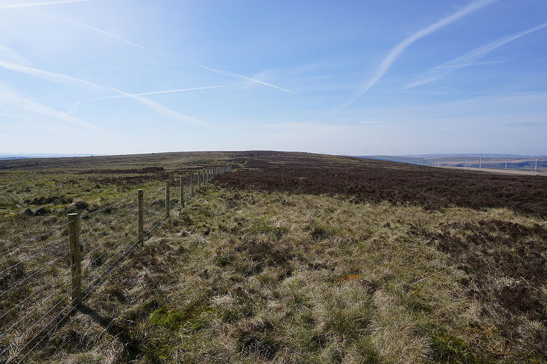
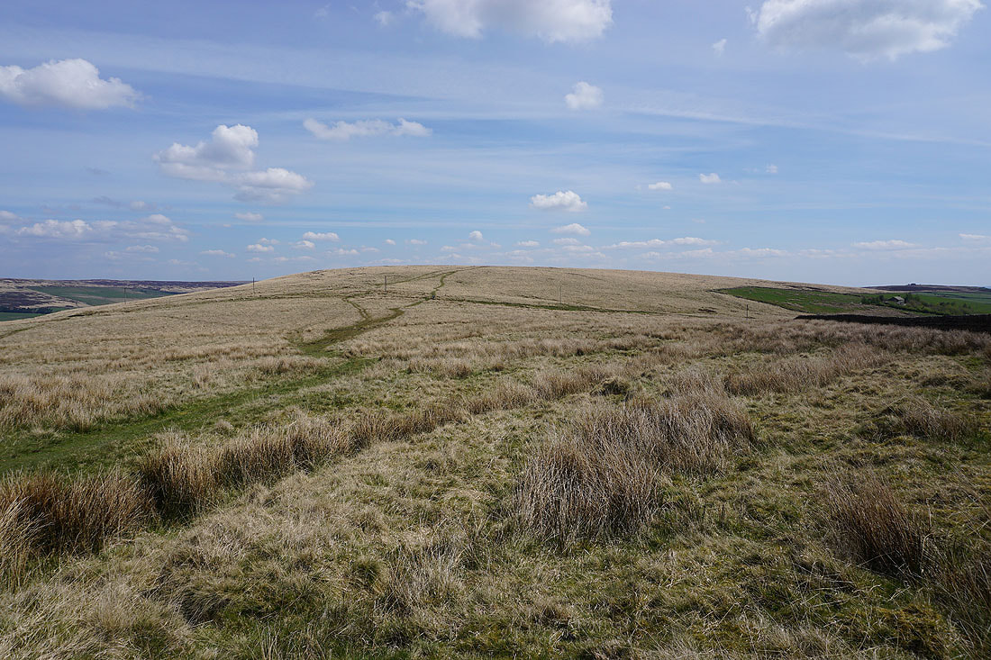
Crossing the top of Wadsworth Moor and to my left are Hoof Stones Height, the Gorple Reservoirs, Gorple Hill, Widdop Reservoir, and Widdop Moor
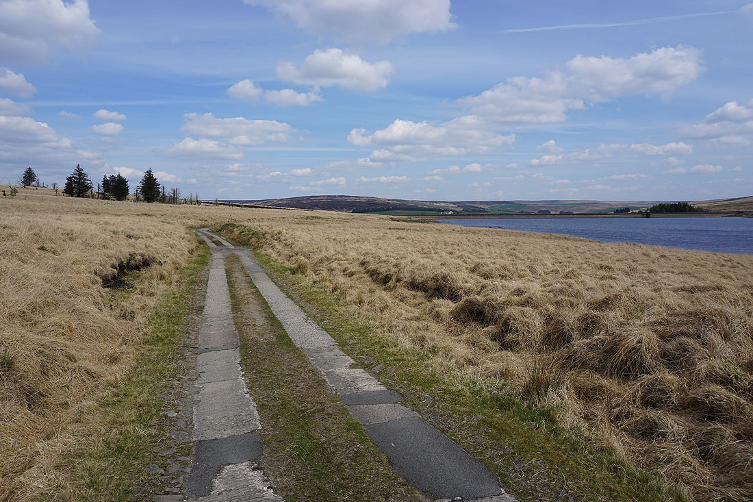
Walshaw Dean and its Middle and Upper Reservoirs as I follow the track down to join the Pennine Way..
Walshaw Dean Middle Reservoir..
..and Walshaw Dean Lower Reservoir, as I follow the Pennine Way south..
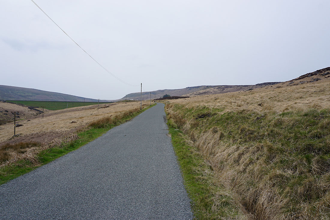
On the Pennine Way down to Clough Foot..
I finish with a walk up the road from Clough Foot to the car park by Widdop Reservoir..