30th August 2010 - Fairfield and St. Sunday Crag
Walk Details
Distance walked: 8.9 miles
Total ascent: 3282 ft
OS map used: OL5 - The English Lakes, North-eastern area
Time taken: 7 hrs
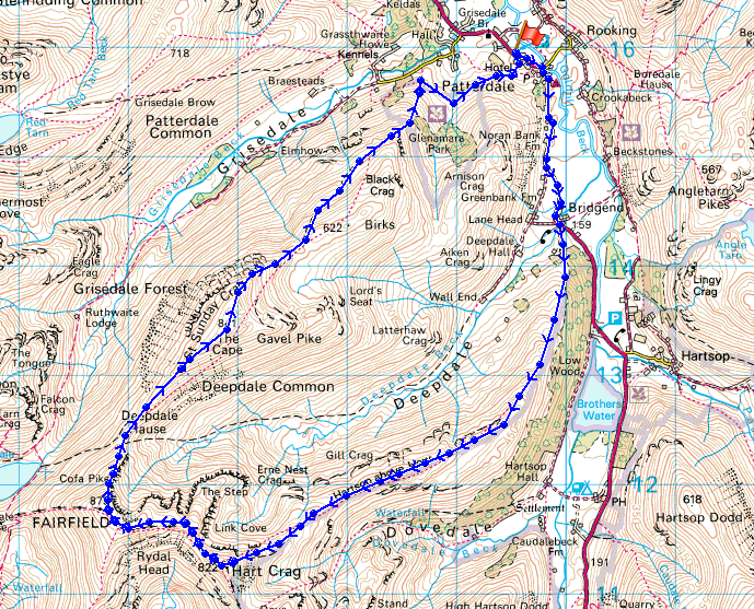
Route description: Patterdale-A592-Deepdale Bridge-Hartsop above How-Hart Crag-Fairfield-Cofa Pike-St. Sunday Crag-Thornhow End-Patterdale
After setting out from Patterdale I walked down the road to Deepdale Bridge and then walked along the ridge of Hartsop-above-How to Hart Crag. From Hart Crag I walked across to Fairfield and then St. Sunday Crag before making my way back down to Patterdale.
Route map
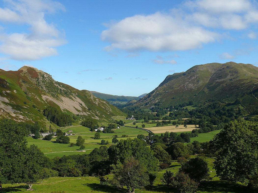
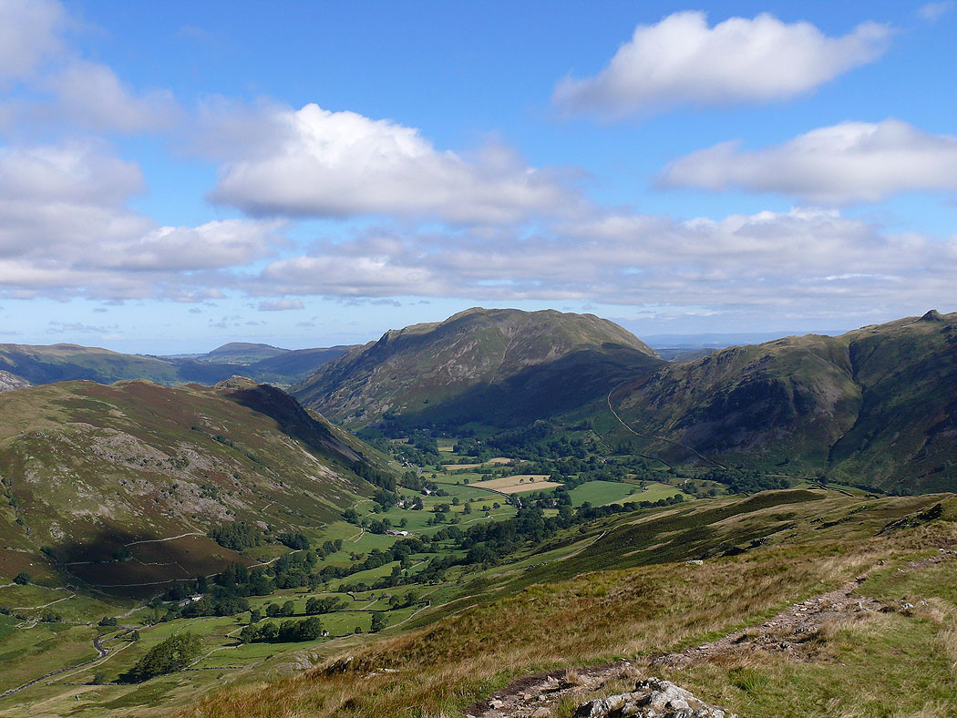
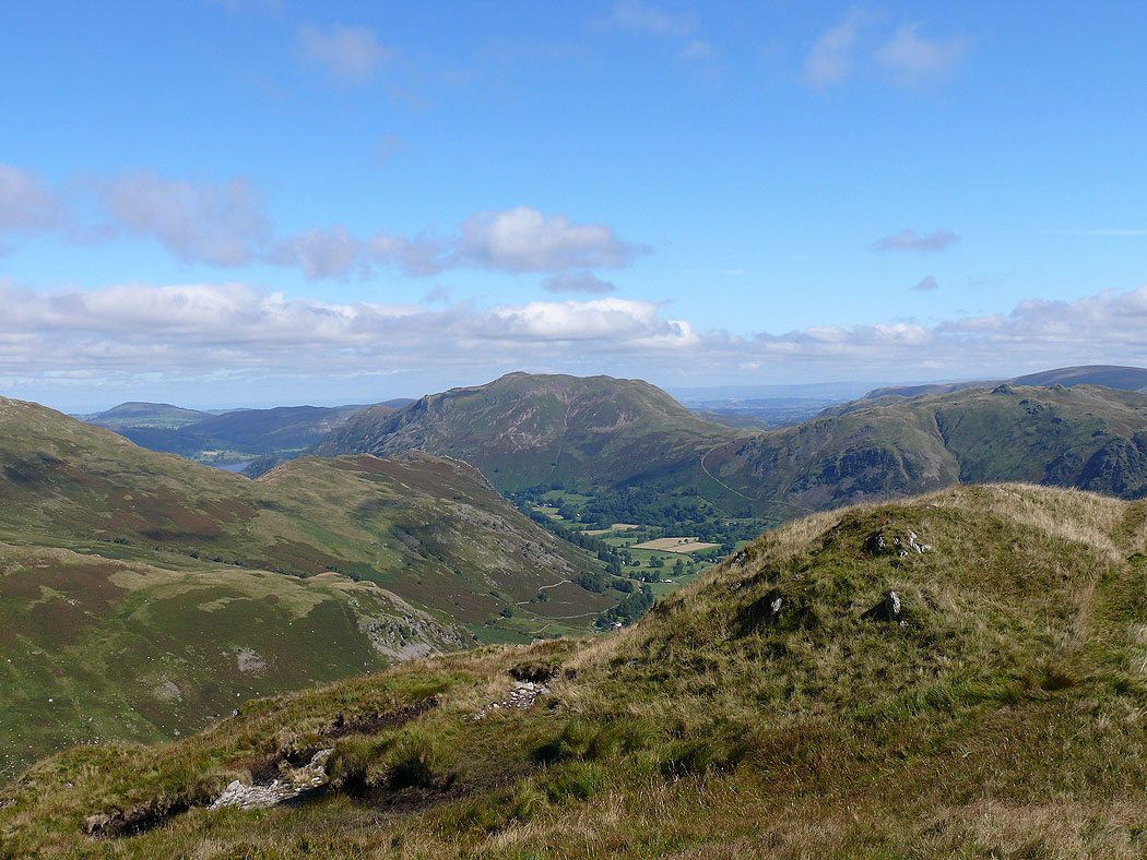
Patterdale and Place Fell from the start of the ridge of Hartsop-above-How
Arnison Crag and Place Fell
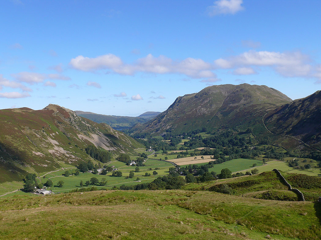
Hart Crag and Fairfield ahead
Place Fell
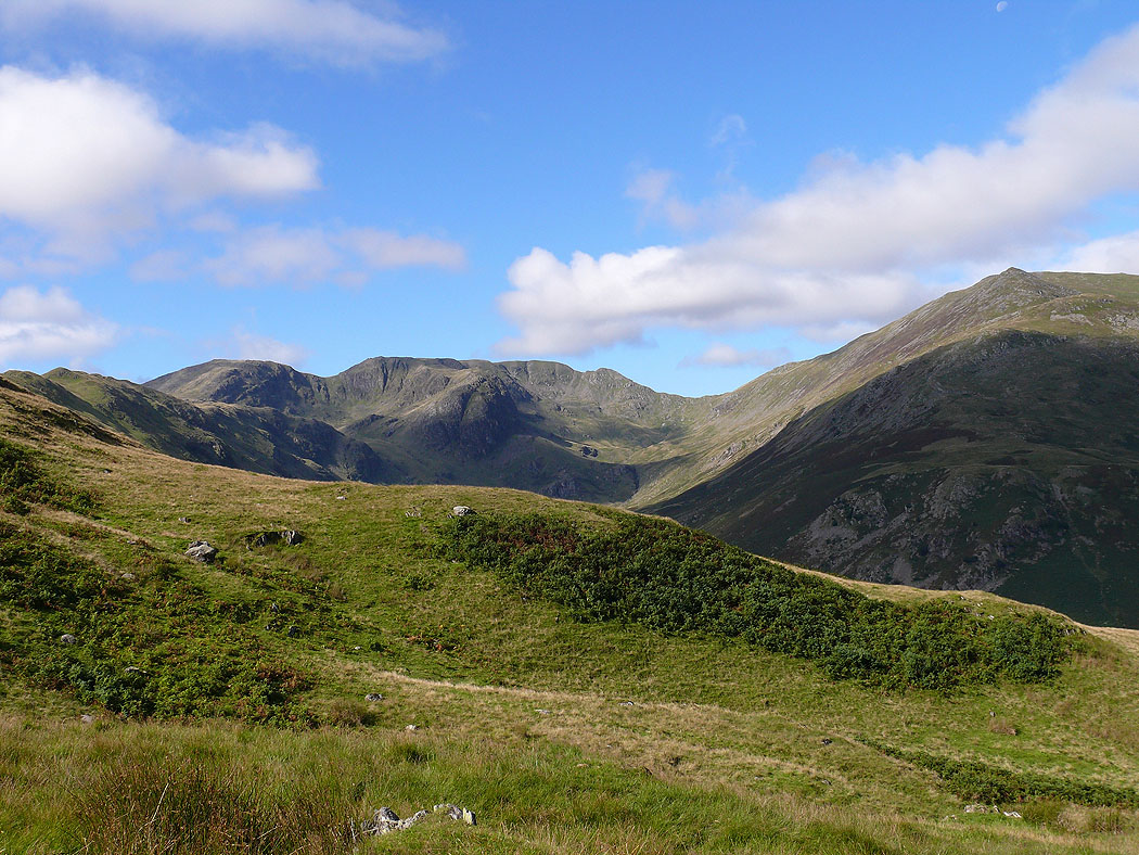
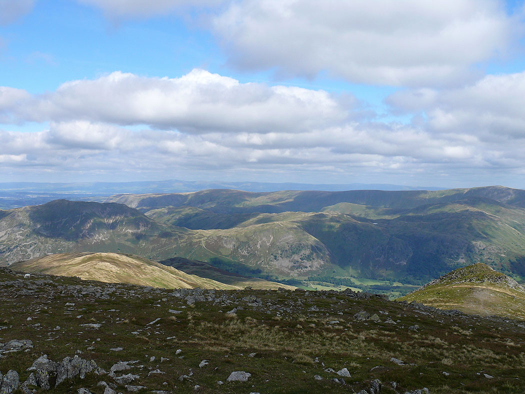
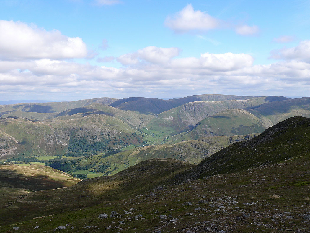
Far Eastern Fells
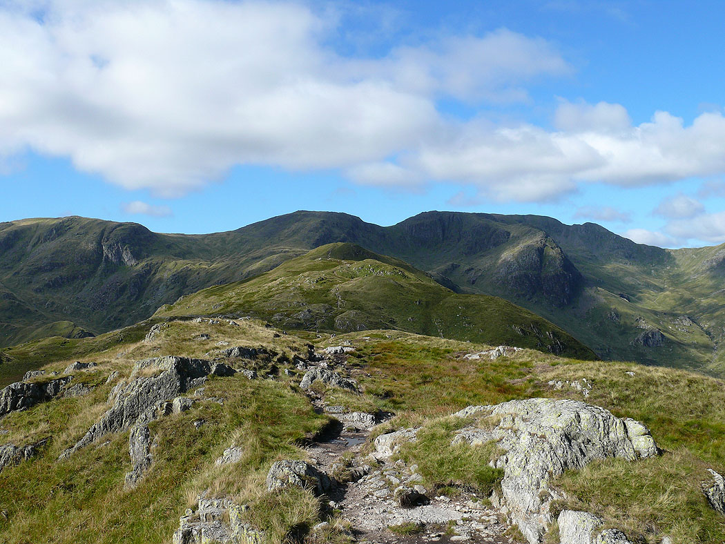
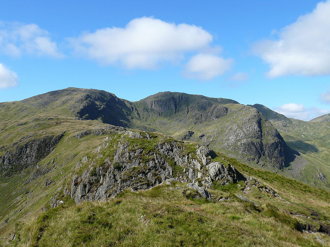
Dove Crag, Hart Crag and Fairfield with the summit of Hartsop-above-How ahead
Place Fell
On Hartsop-above-How summit
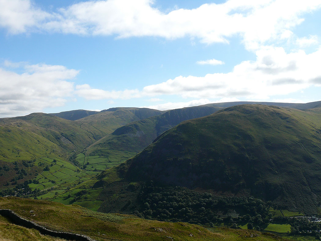
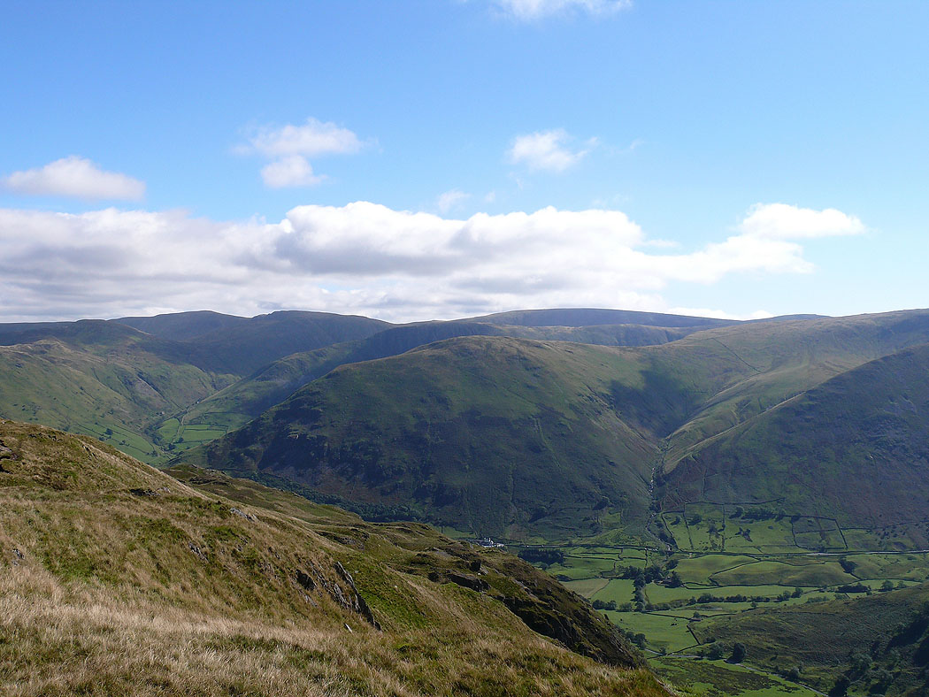
The view across to High Street
Nearly up to the summit of Hart Crag with a view back along the ridge
The valley of Deepdale below
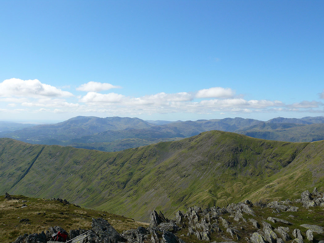
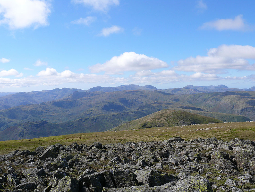
On the summit of Hart Crag with a view across to the Coniston fells, Crinkle Crags and Bowfell
High Street
Place Fell and the far eastern fells
The Coniston fells, Crinkle Crags, Bowfell and the Scafells. The fell in front is Great Rigg.
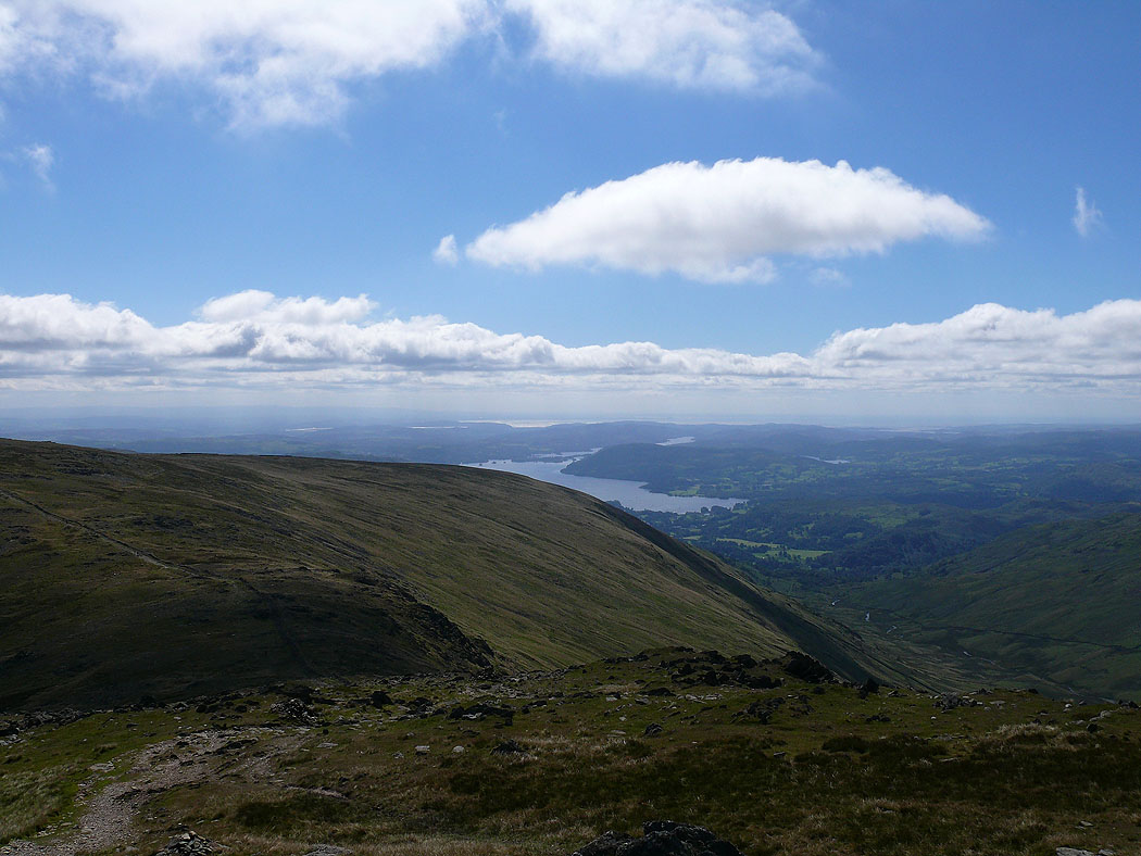
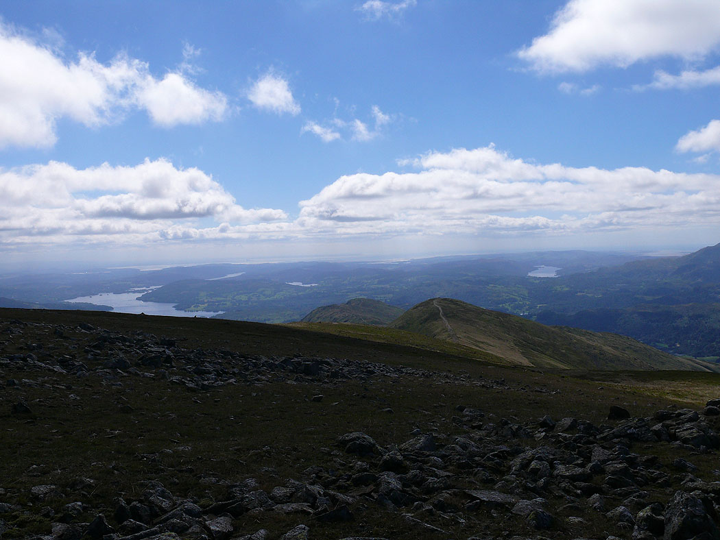
Windermere
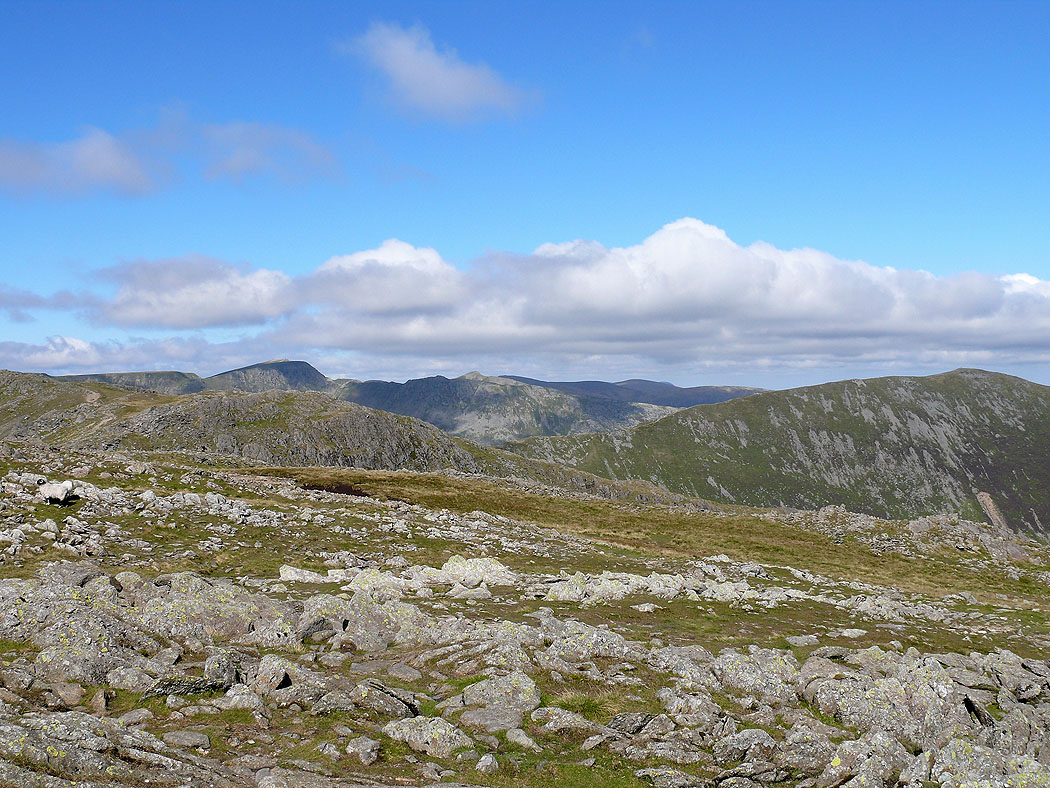
Helvellyn and St. Sunday Crag
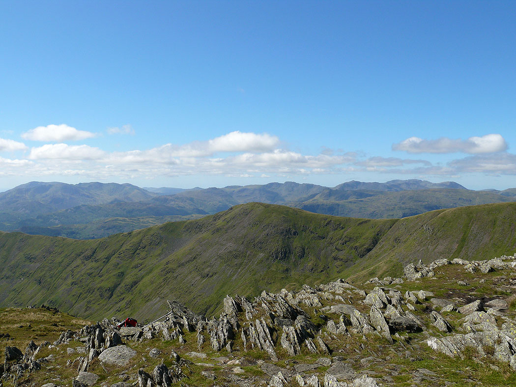
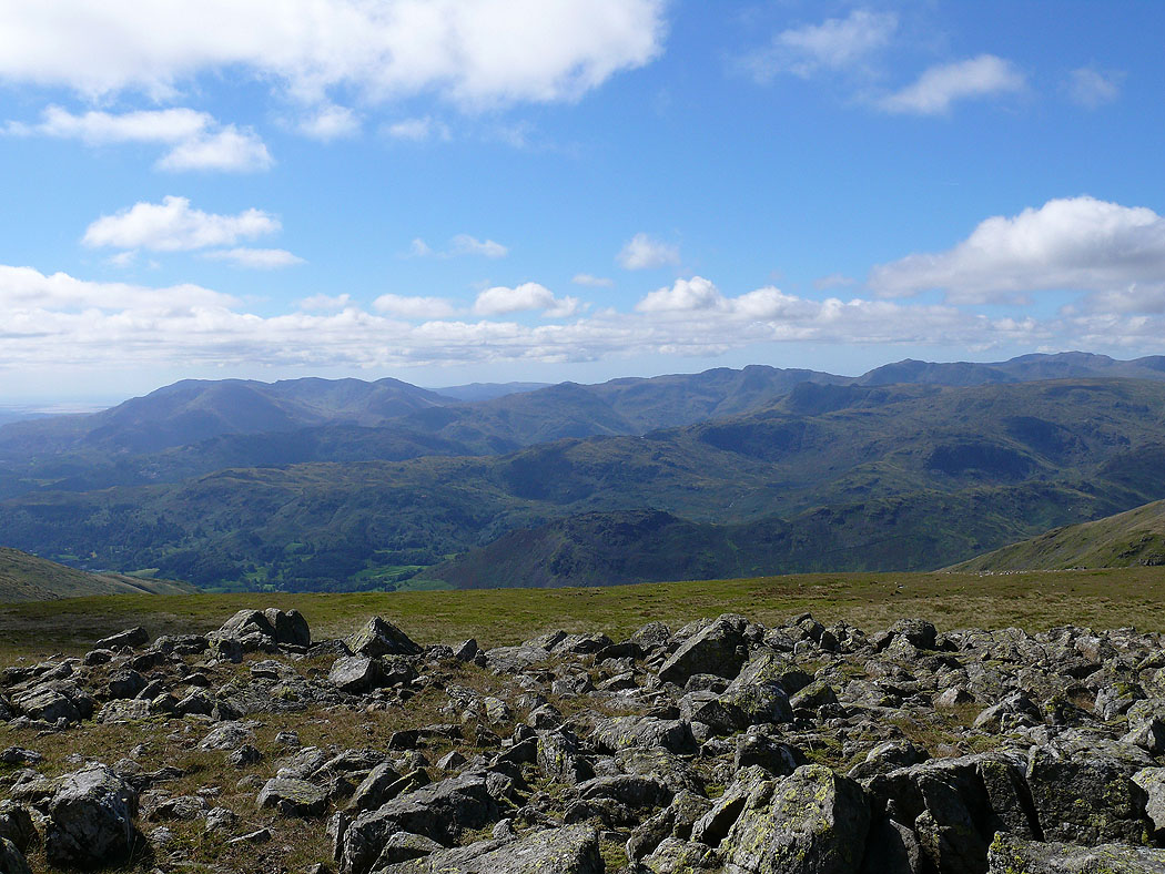
The Coniston fells, Crinkle Crags and Bowfell from Fairfield
Windermere and Coniston Water
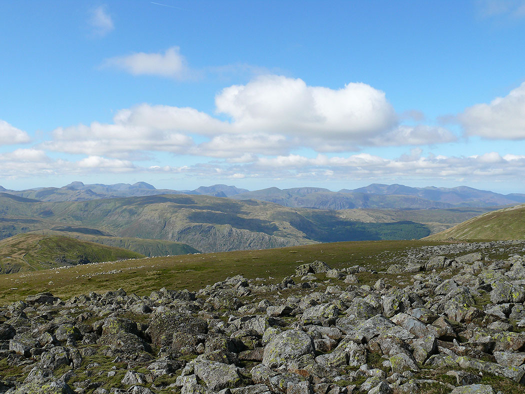
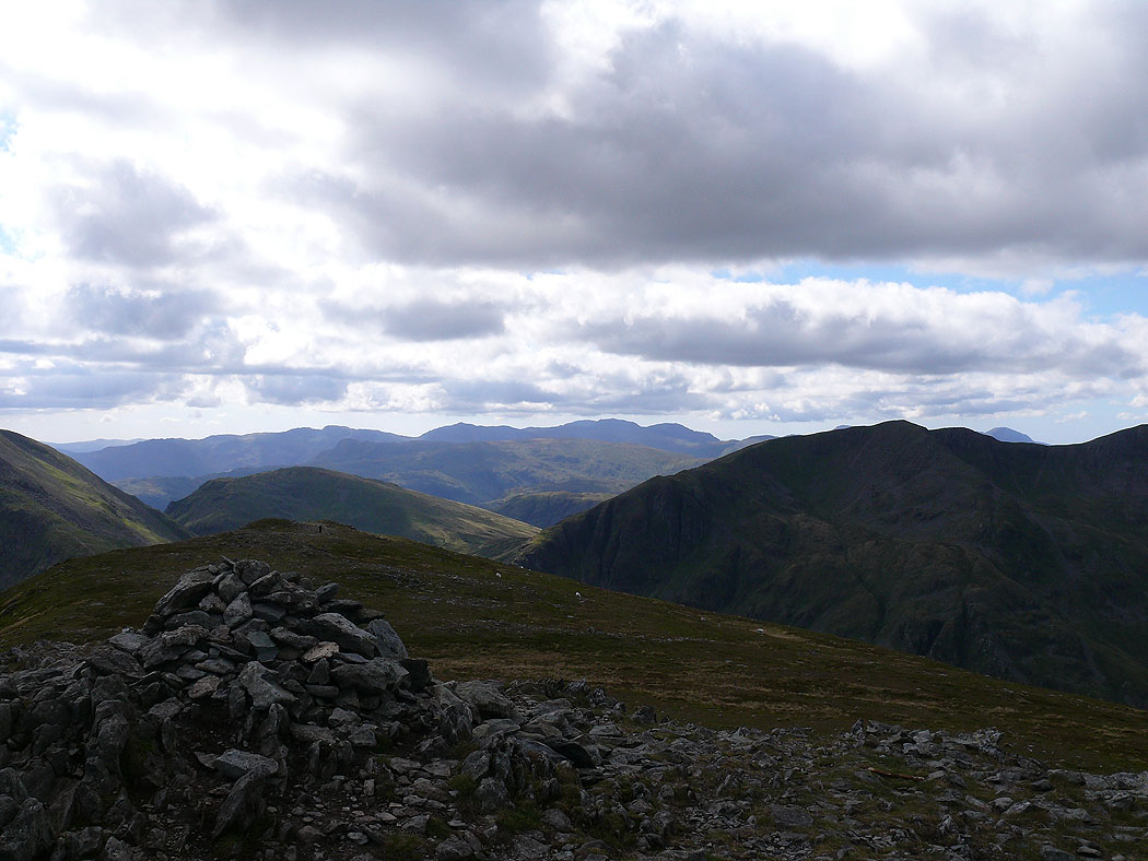
Crinkle Crags, Bowfell, the Scafells, Great Gable and Pillar
Great Gable, Pillar, the High Stile range and the northwestern fells in the distance
St. Sunday Crag
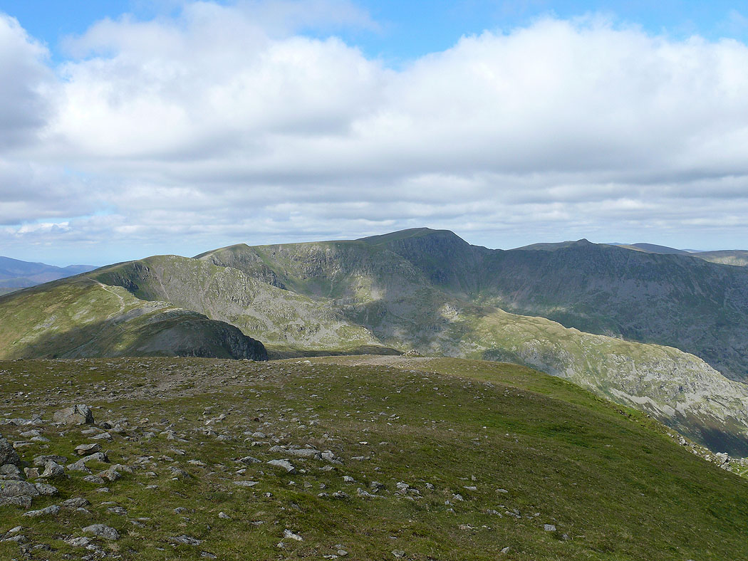
Cofa Pike and St. Sunday Crag
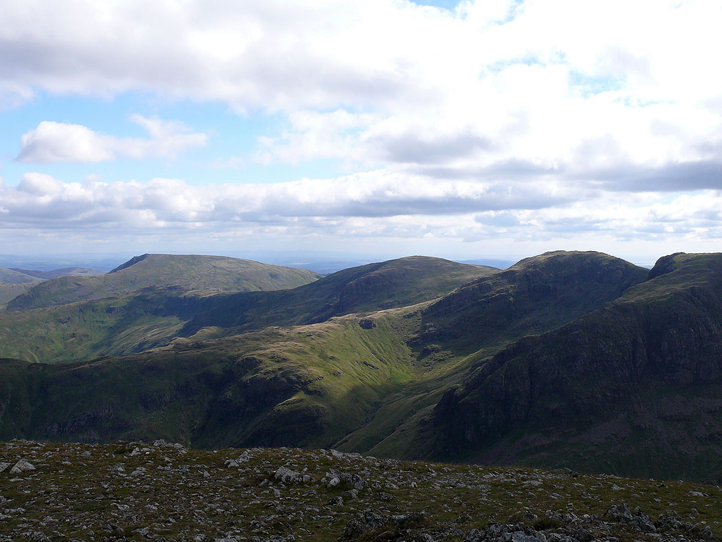
Helvellyn
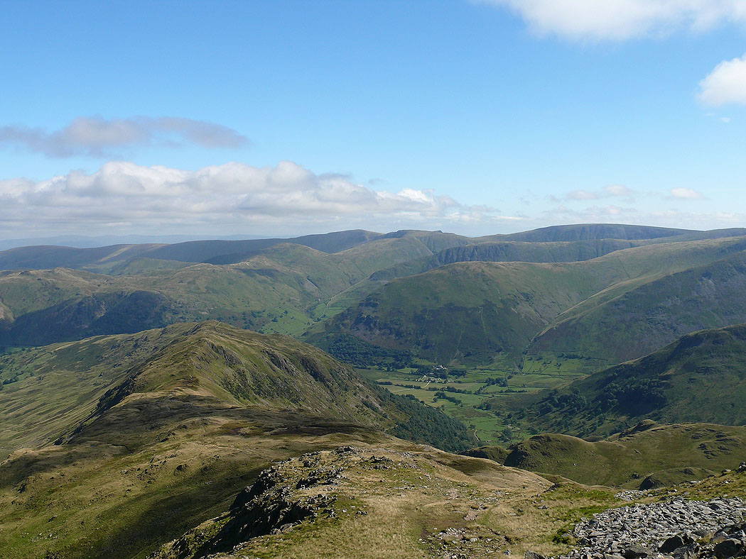
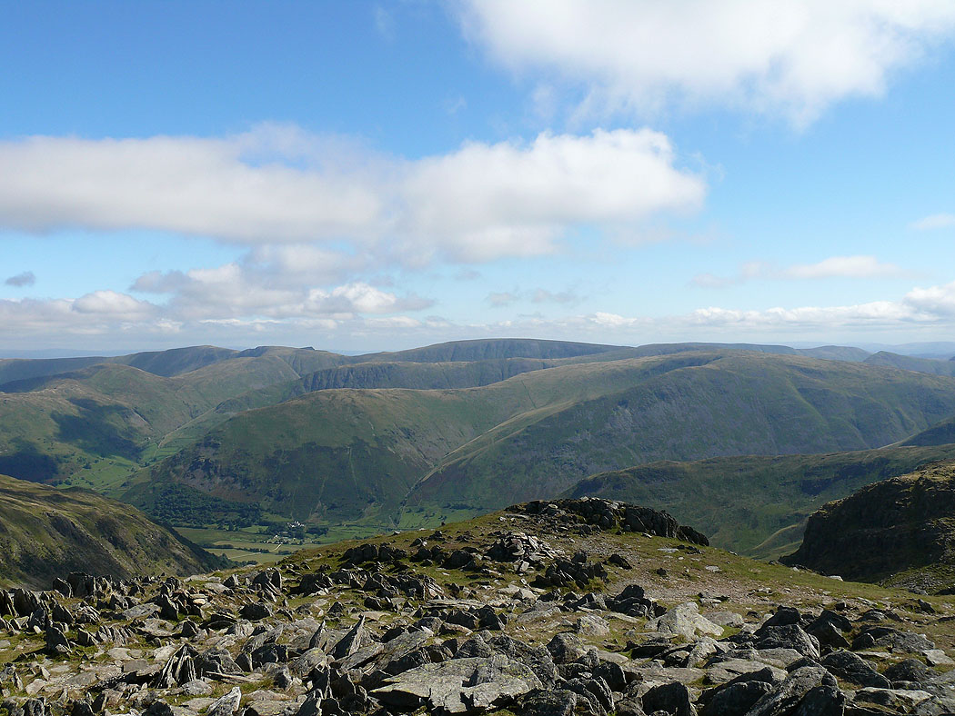
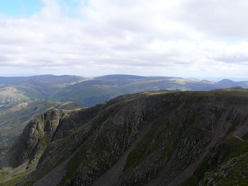
Across to the far eastern fells
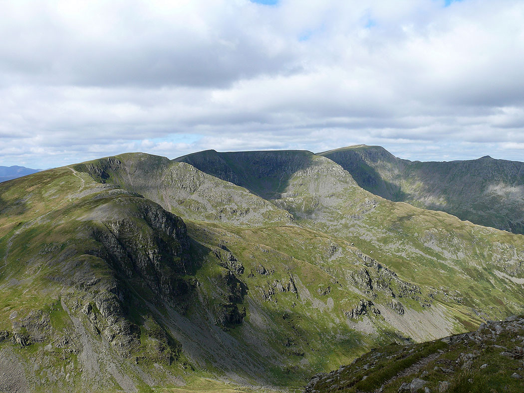
Dollywaggon Pike, Nethermost Pike and Helvellyn
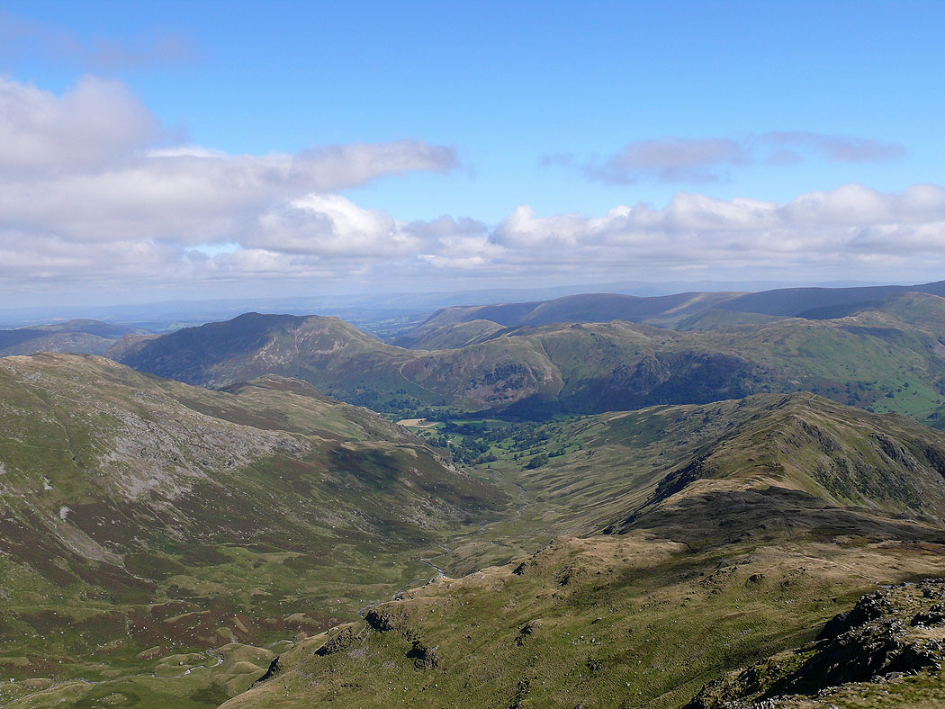
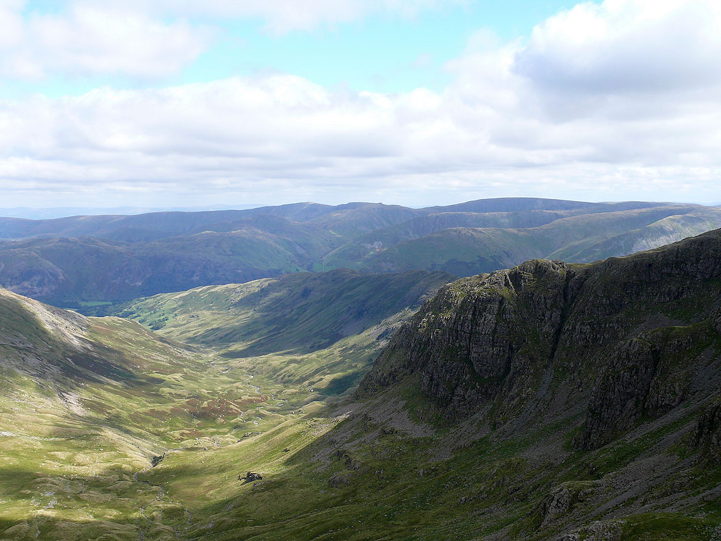
Deepdale
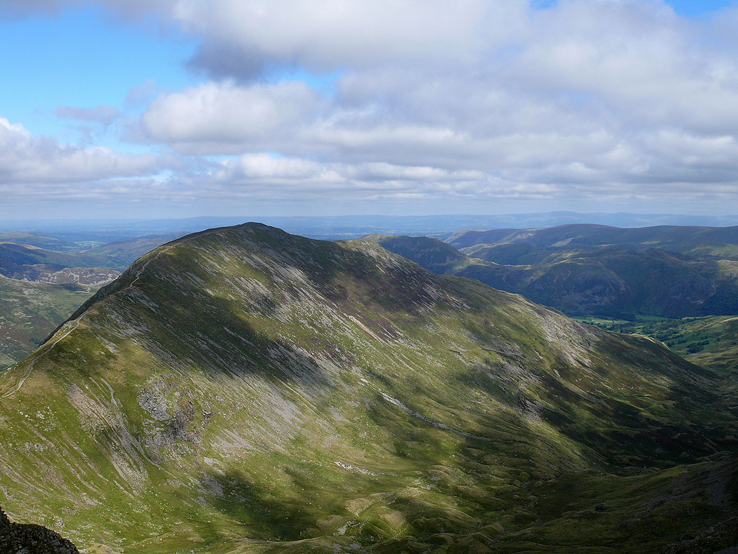
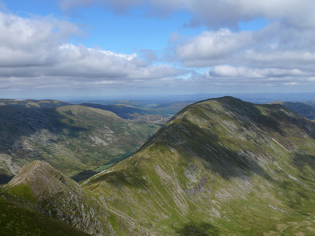
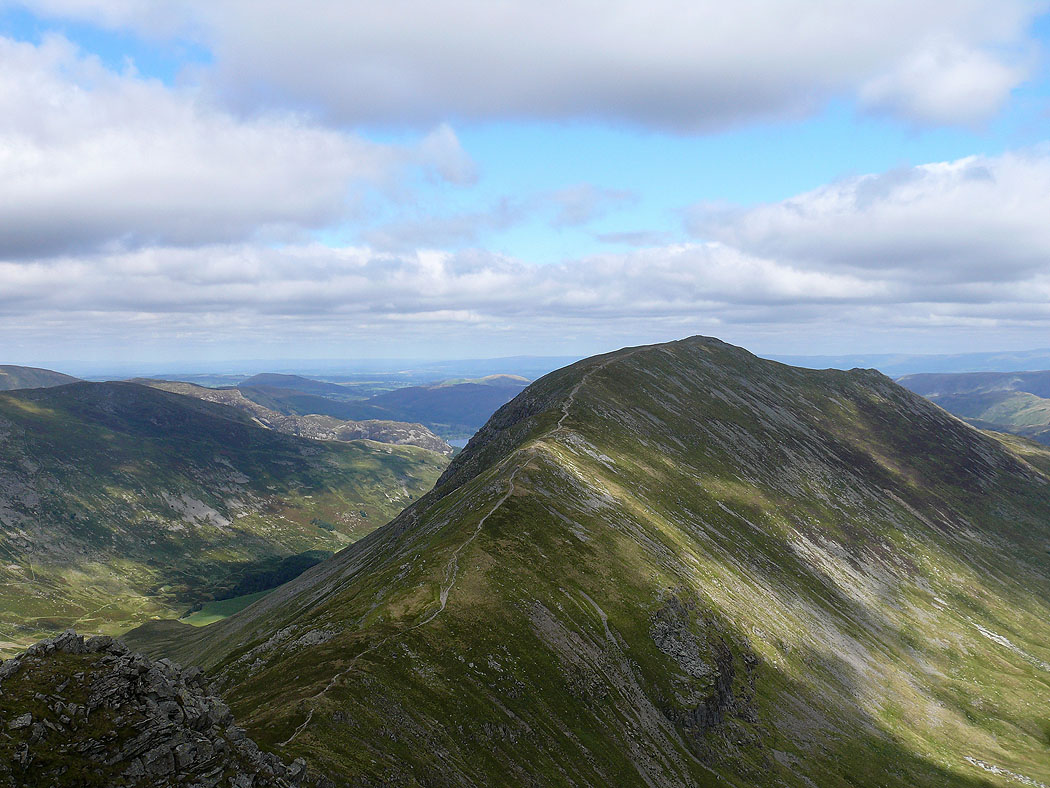
St. Sunday Crag from Cofa Pike
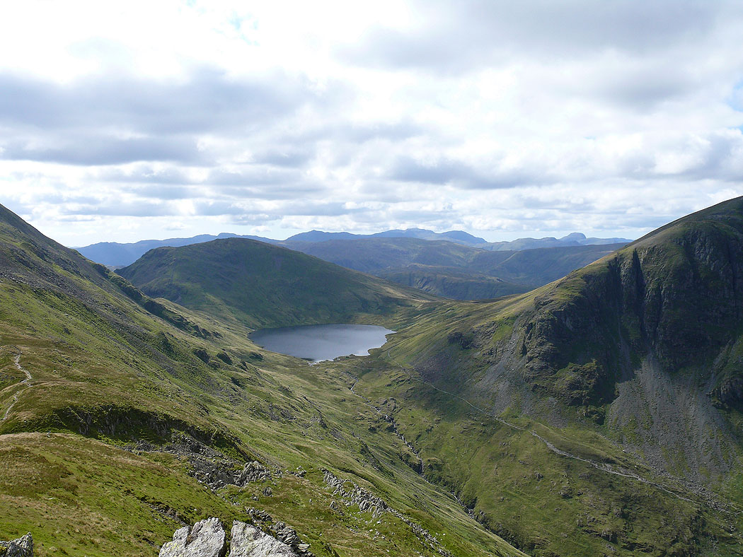
Grisedale Tarn
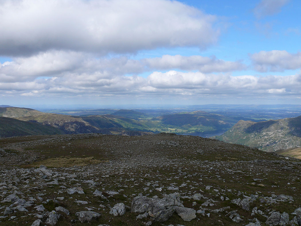
On St. Sunday Crag summit
The view across to High Street
The far eastern fells with the North Pennines in the far distance
Crinkle Crags, Bowfell and the Scafells in the distance
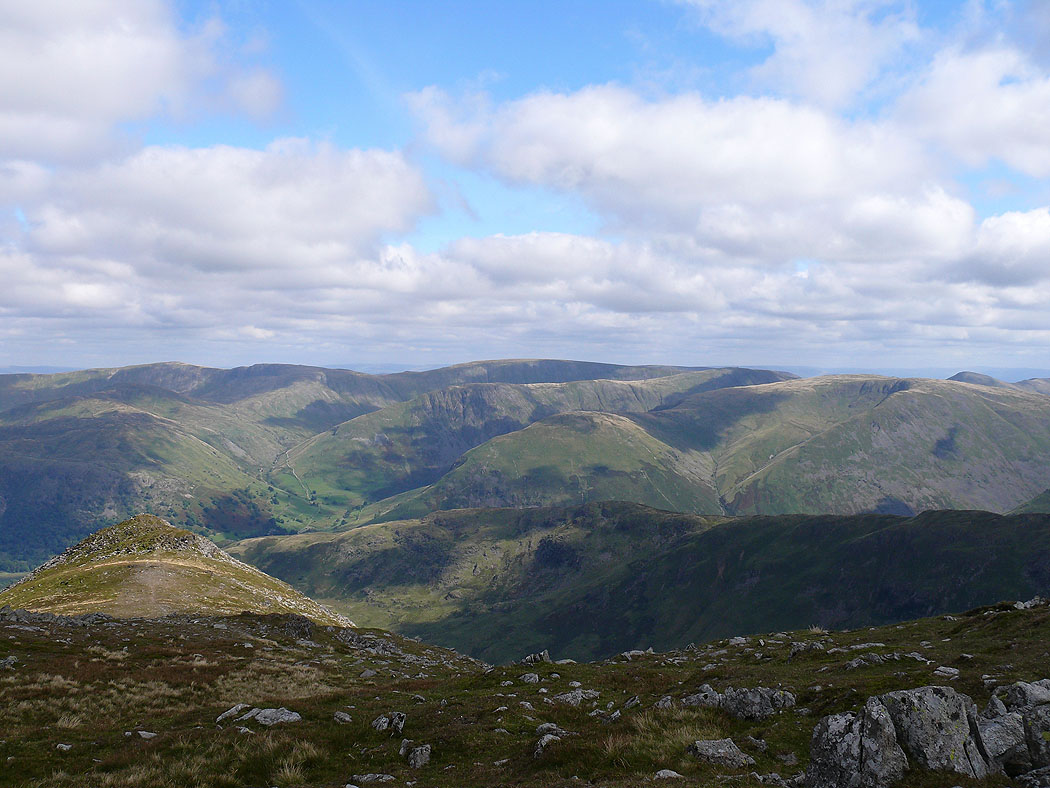
Red Screes, Dove Crag and Hart Crag
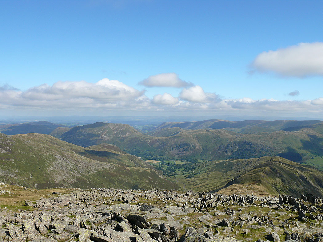
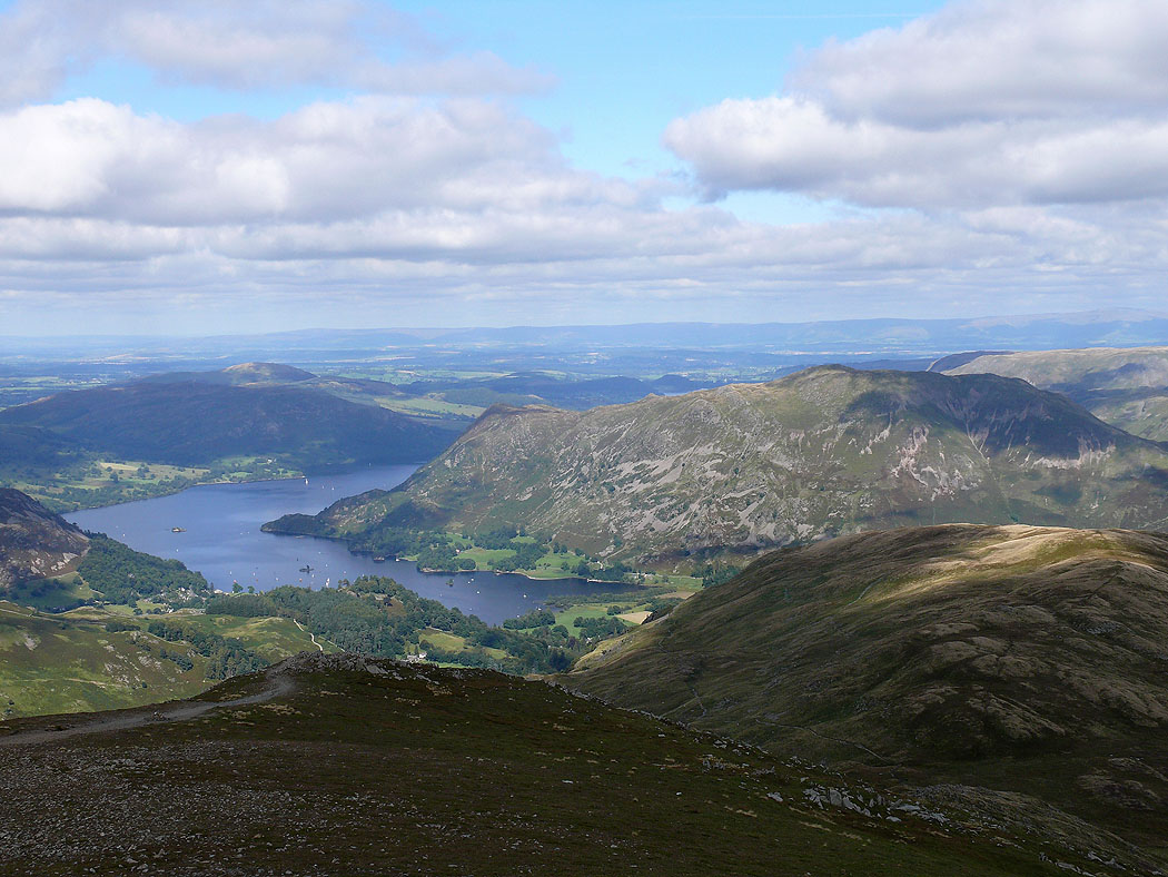
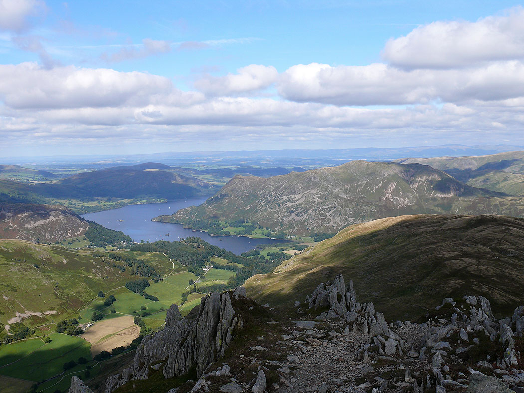
Ullswater and Place Fell
High Street and the far eastern fells
Ullswater and Place Fell from St. Sunday Crag
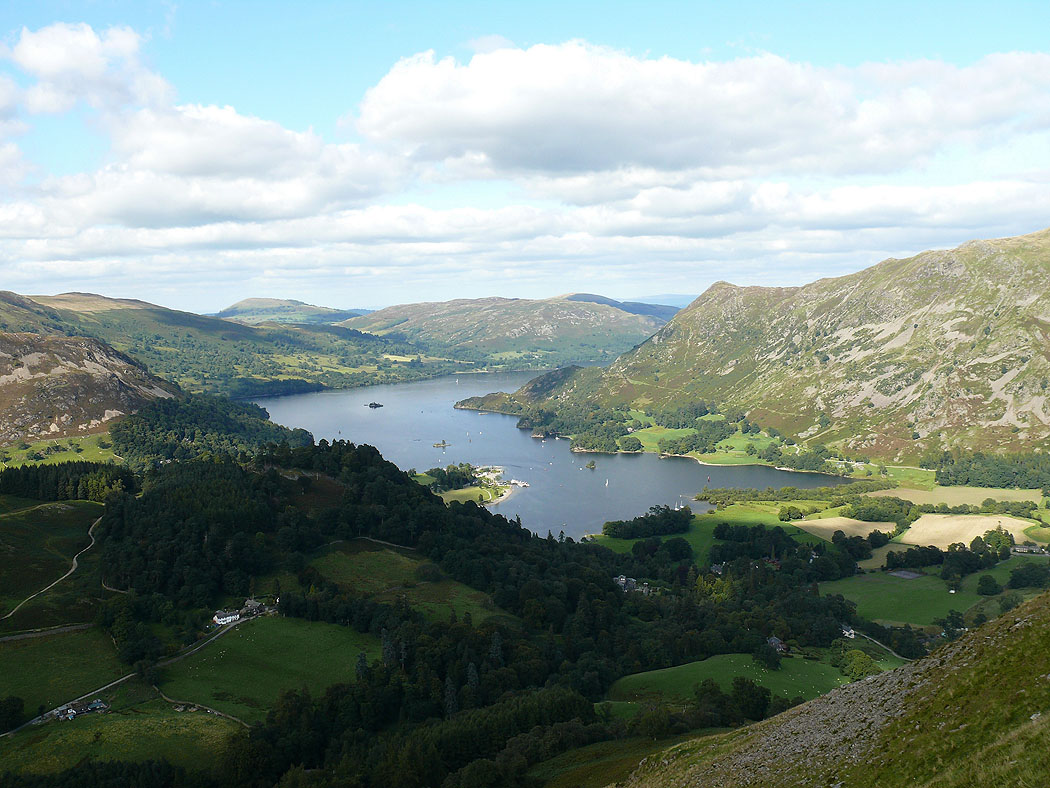
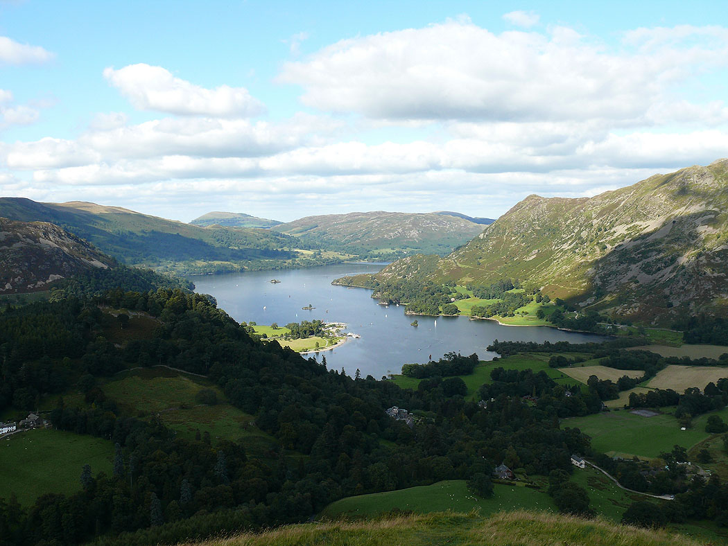
Ullswater on the way down into Patterdale..
