30th August 2020 - Dodd Fell Hill and Drumaldrace
Walk Details
Distance walked: 14.2 miles
Total ascent: 2277 ft
OS map used: OL30 - Yorkshire Dales, Northern & Central areas and OL2 - Yorkshire Dales, Southern & Western areas
Time taken: 7 hrs
Route description: Hawes-Gayle-Pennine Way-Aysgill Force-Gaudy Lane-Pennine Way-Dodd Fell Hill-Pennine Way-Kidhow Gate-Cam High Road-Drumaldrace-Wether Fell Side-Gayle-Hawes
I decided to head to Hawes in Wensleydale today and do a variation of a walk that I did back in May 2018. Then I did a circuit of the fells around Sleddale, taking in Dodd Fell Hill and Wether Fell. This time I wanted to visit the waterfall of Aysgill Force as well, which is on Gayle Beck in Sleddale, and not that far south from the Pennine Way as it leaves Gayle. With this extra mileage from seeing Aysgill Force adding to what is already quite a long walk, I shortened my route back to Gayle by leaving the bridleway to Burtersett for a footpath directly down to Gayle. Aysgill Force is a nice waterfall, and worth a look, although it is shame that there isn't really any way of getting closer to it than the path. I had a fine and dry day with light winds for this walk, but with a lot of cloud there wasn't much sunshine for making the most of the views which the great visibility was allowing, and the air had a distinctly chilly feel to it high up.
From the Gayle Lane car park in Hawes I walked up Gayle Lane to Gayle and picked up the trail of the Pennine Way. I then followed the Pennine Way through Gayle up to the lane of Gaits above the village, and then onto the fields to the south. This was where I left the Pennine Way and took the footpath signposted for Aysgill Force. I followed the footpath south past Aysgill Force and to its end, where I joined a byway which I followed north across the hillside until I reached a footpath on the left, which took me up to Gaudy Lane and the Pennine Way. I then made my south along the Pennine Way up onto Ten End and then along the track of West Cam Road until I reached a little cairn on the hillside above to the left. This was the spot where I left the track to make my ascent to the trig point on Dodd Fell Hill. A clear trod through the tussocks took me up to it and back down. Once back on the Pennine Way I continued south to reach the Cam High Road at Kidhow Gate. The Pennine Way was left behind here to follow the tarmacked Cam High Road east past where it leaves the tarmac and becomes a track across Wether Fell. I left the Cam High Road for a bridleway on the left, which I soon left to head up to the cairn of Drumaldrace on Wether Fell. Once I'd taken in the view I returned to the bridleway and followed it north and east across Wether Fell Side and to the bridleway down to Burtersett. I followed this bridleway for a short distance downhill until I reached a footpath on the left, which I took and followed downhill through fields to Gayle. I then walked through Gayle onto Gayle Lane and down Gayle Lane back to the car park in Hawes.
Route map
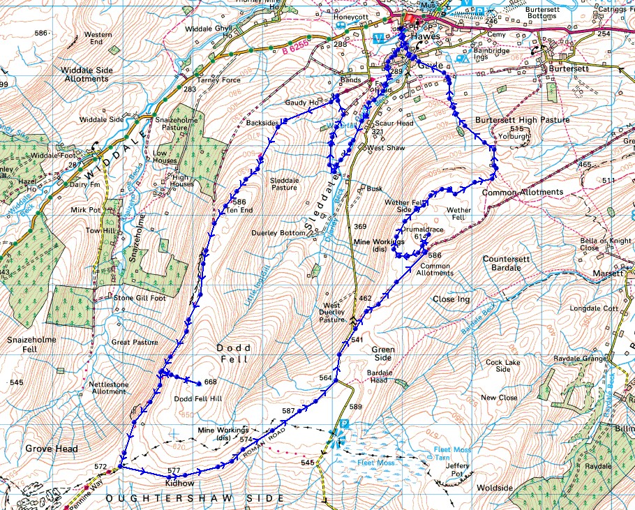
© Crown copyright. All rights reserved. License number PU 100034184.
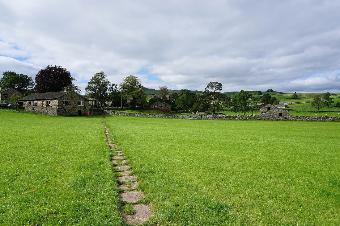
Leaving Gayle on the Pennine Way
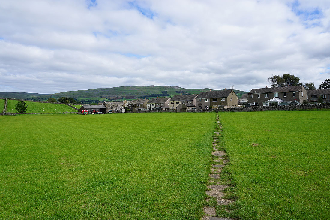
Looking back with the hill of High Clints in the background
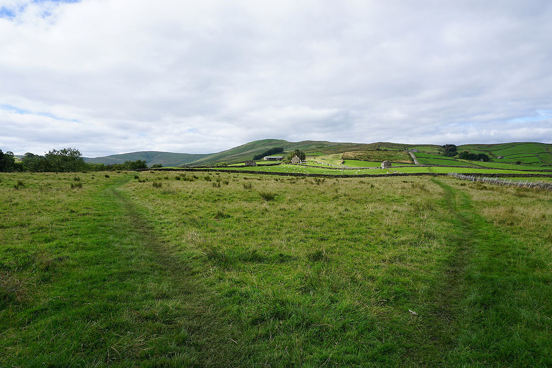
I leave the Pennine Way behind for now, and take the path on the left to Aysgill Force
To my right, Lunds Fell and Great Shunner Fell in the distance
|
|
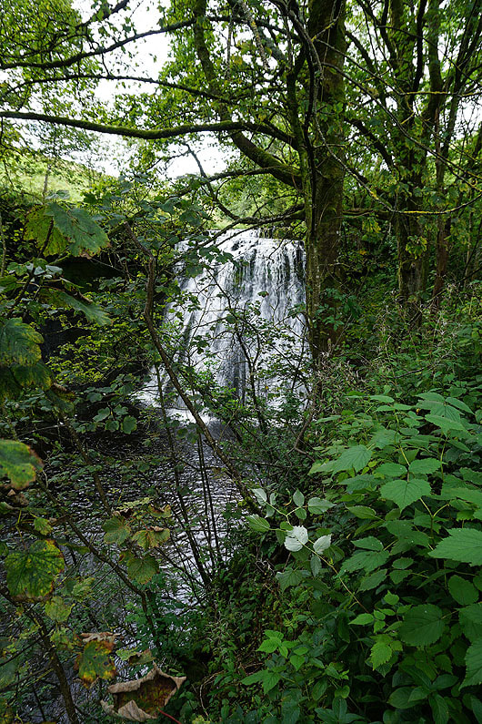
Aysgill Force finally appears through the trees..
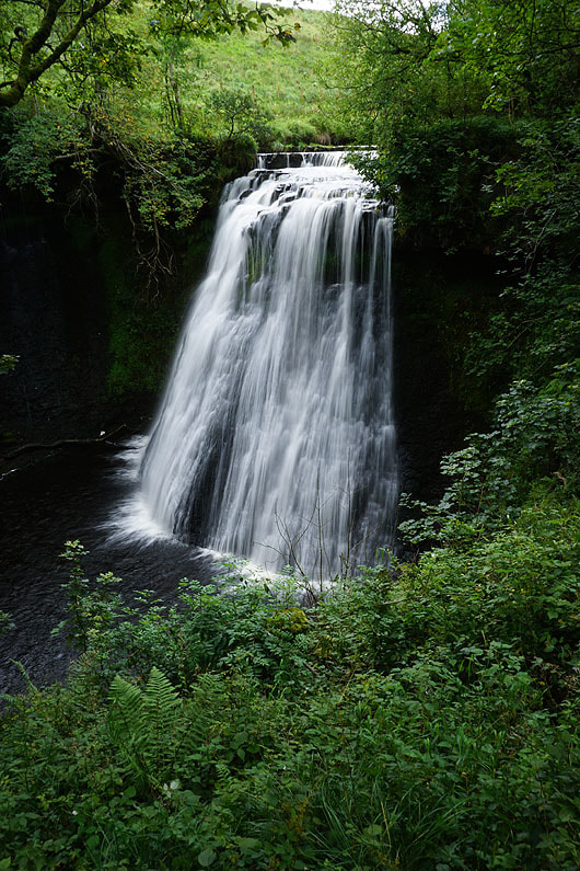
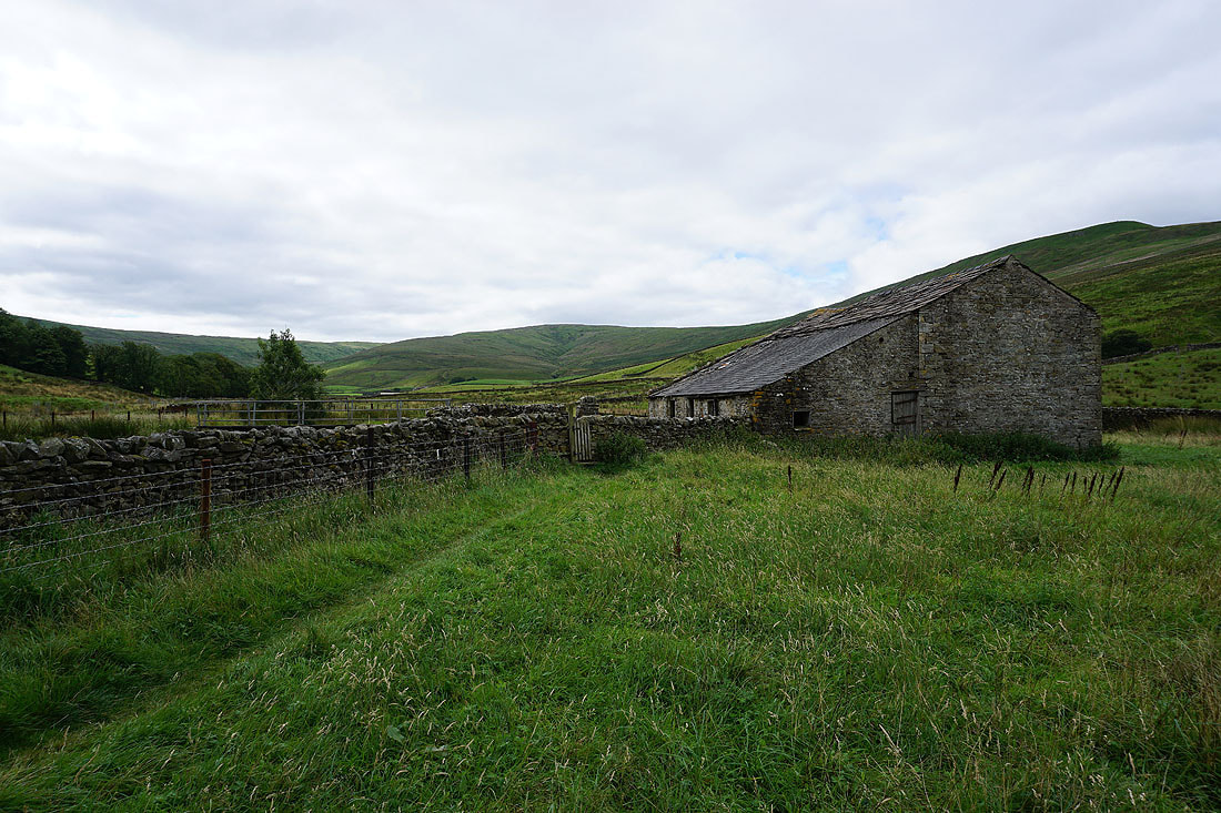
Past Aysgill Force and I continue to follow the path up Sleddale..
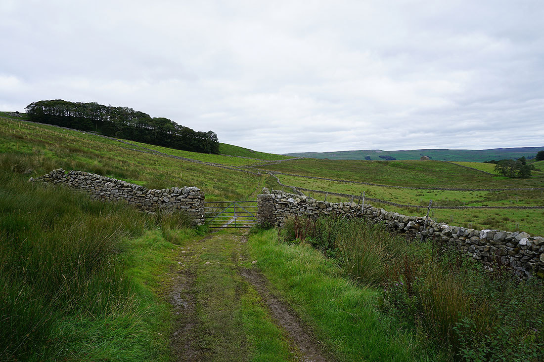
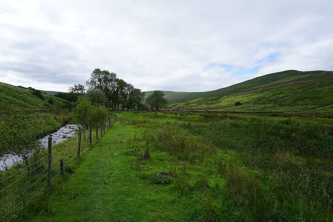
The footpath comes to an end and I take the byway up the hillside to reach the Pennine Way
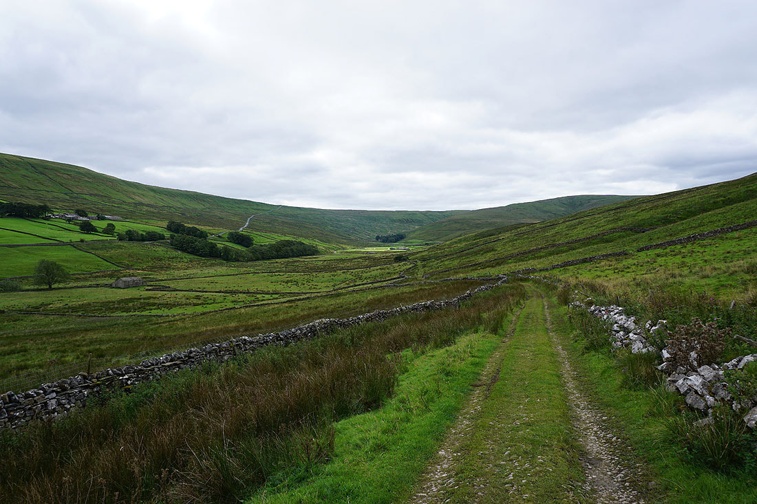
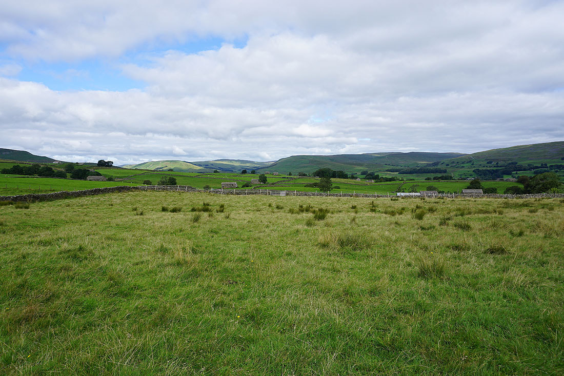
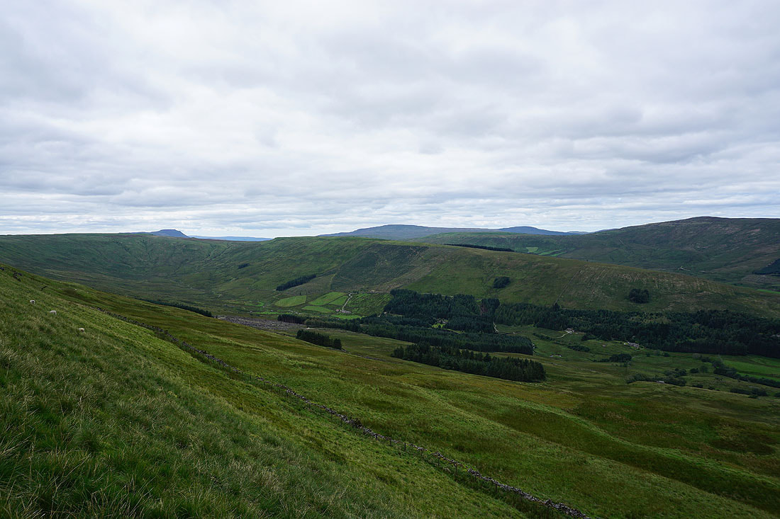
Looking back up Sleddale
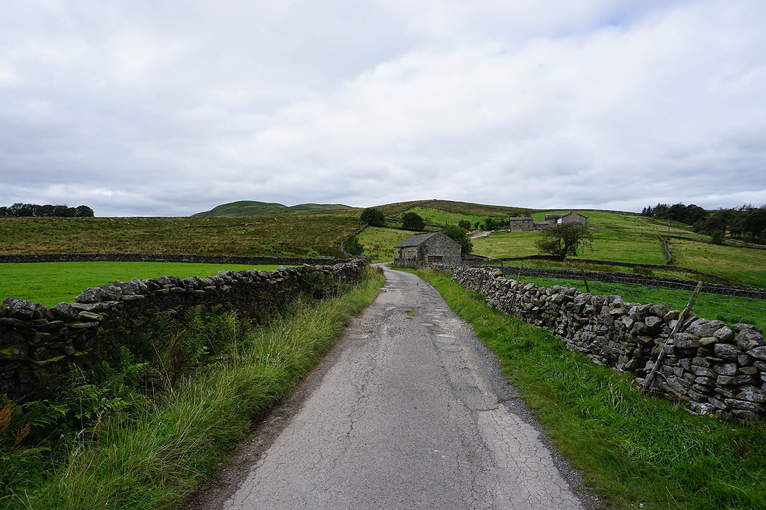
On Gaudy Lane and back onto the Pennine Way
As I follow the Pennine Way up onto Ten End the view behind me takes in Lunds Fell, Great Shunner Fell and Lovely Seat
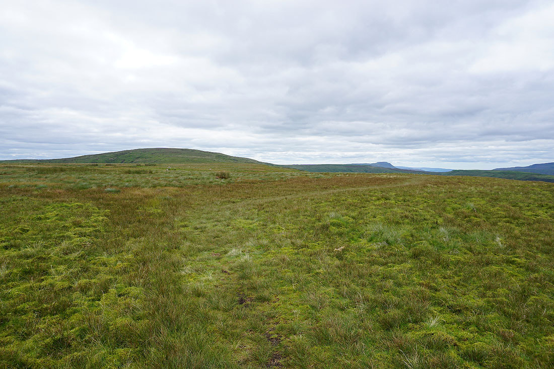
On Ten End with the bulk of Dodd Fell Hill ahead
The Pennine Way joins the track of West Cam Road, and I can see across the valley of Snaizeholme to Snaizeholme Fell, with Ingleborough and Whernside in the distance
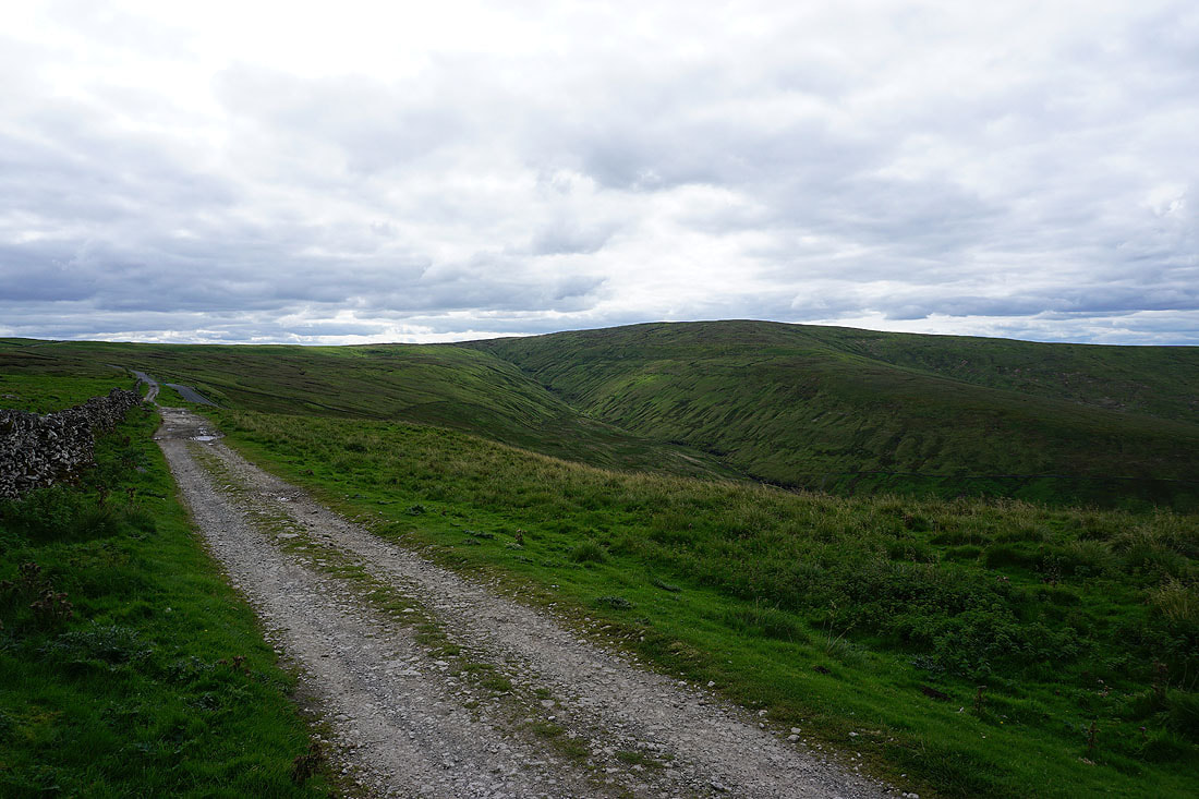
Following the Pennine Way to the south along the side of Dodd Fell Hill....
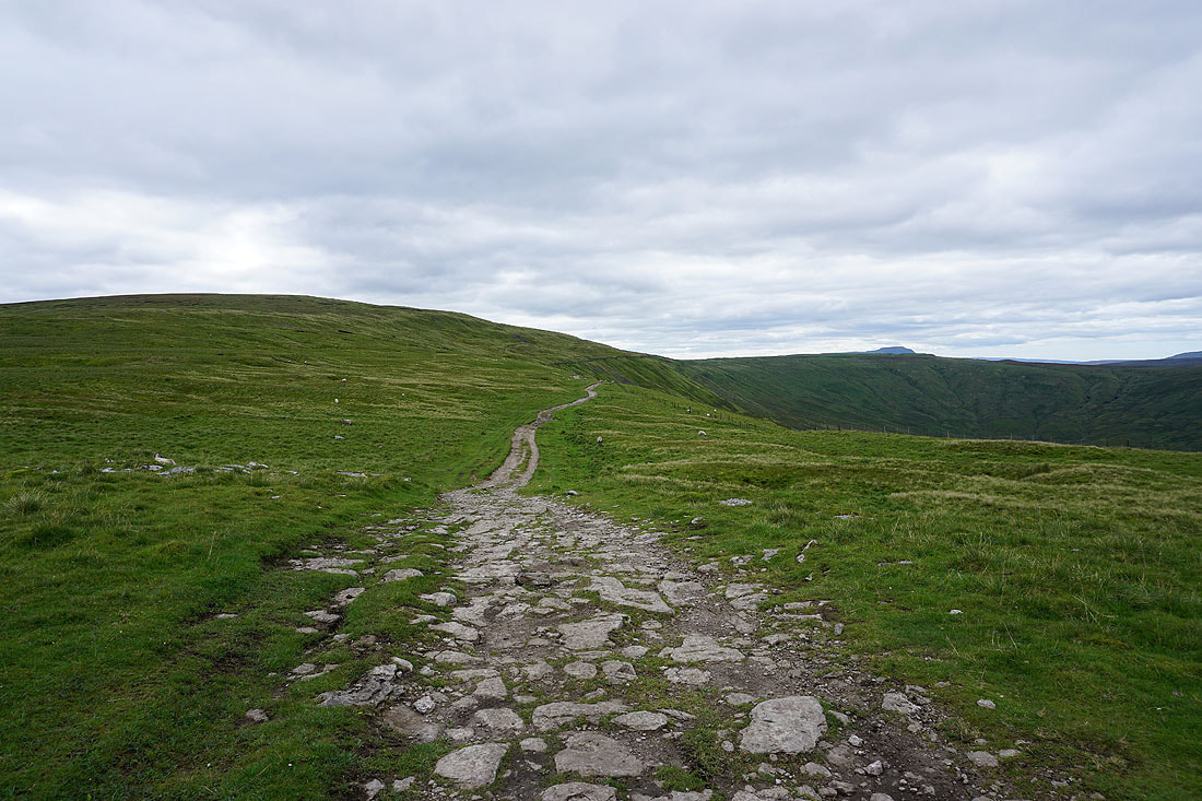
Making my way to the summit of Dodd Fell Hill, and the view opens up to the west behind me as I gain height. Some of the Lake District fells, including Scafell Pike and Great Gable, can be seen in the gap between Middleton Fell and Great Knoutberry Hill.
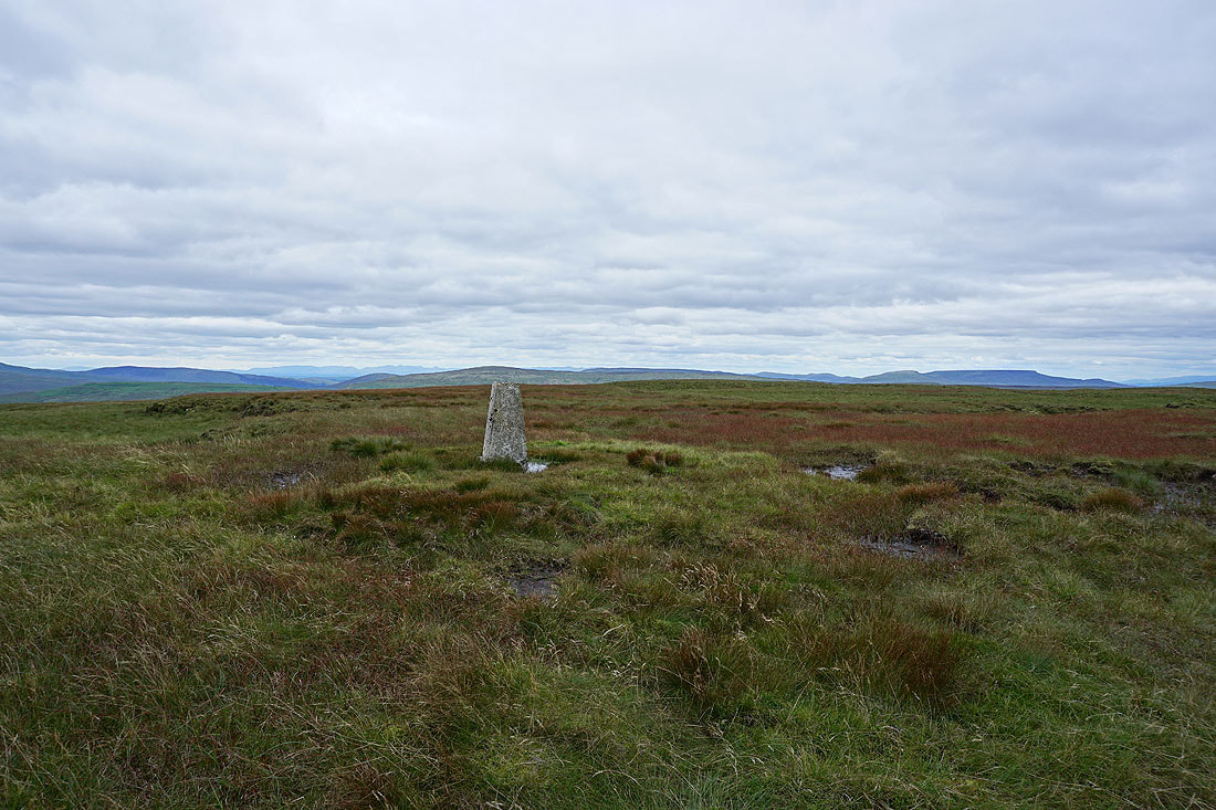
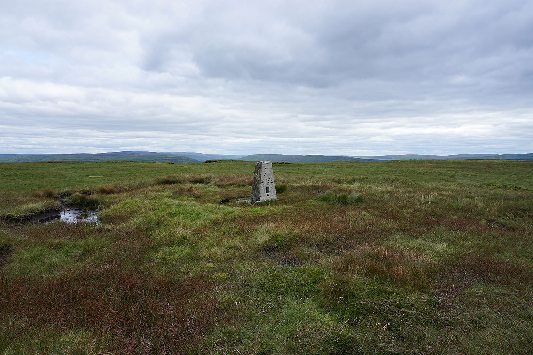
On the summit of Dodd Fell Hill with Middleton Fell, Great Knoutberry Hill, Swarth Fell and Wild Boar Fell in the distance
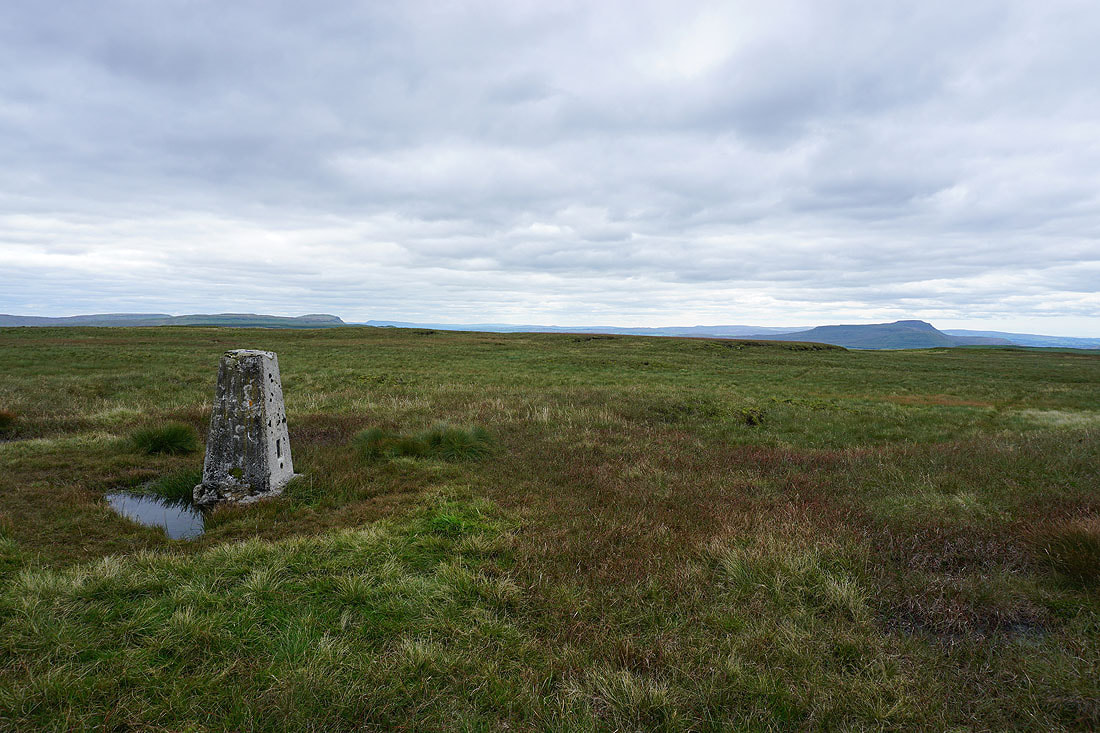
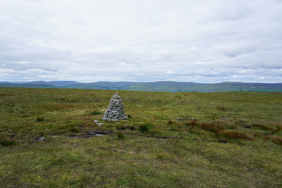
Looking south to Fountains Fell, Plover Hill and Penyghent, with Pendle Hill in the far distance, and Ingleborough on the right
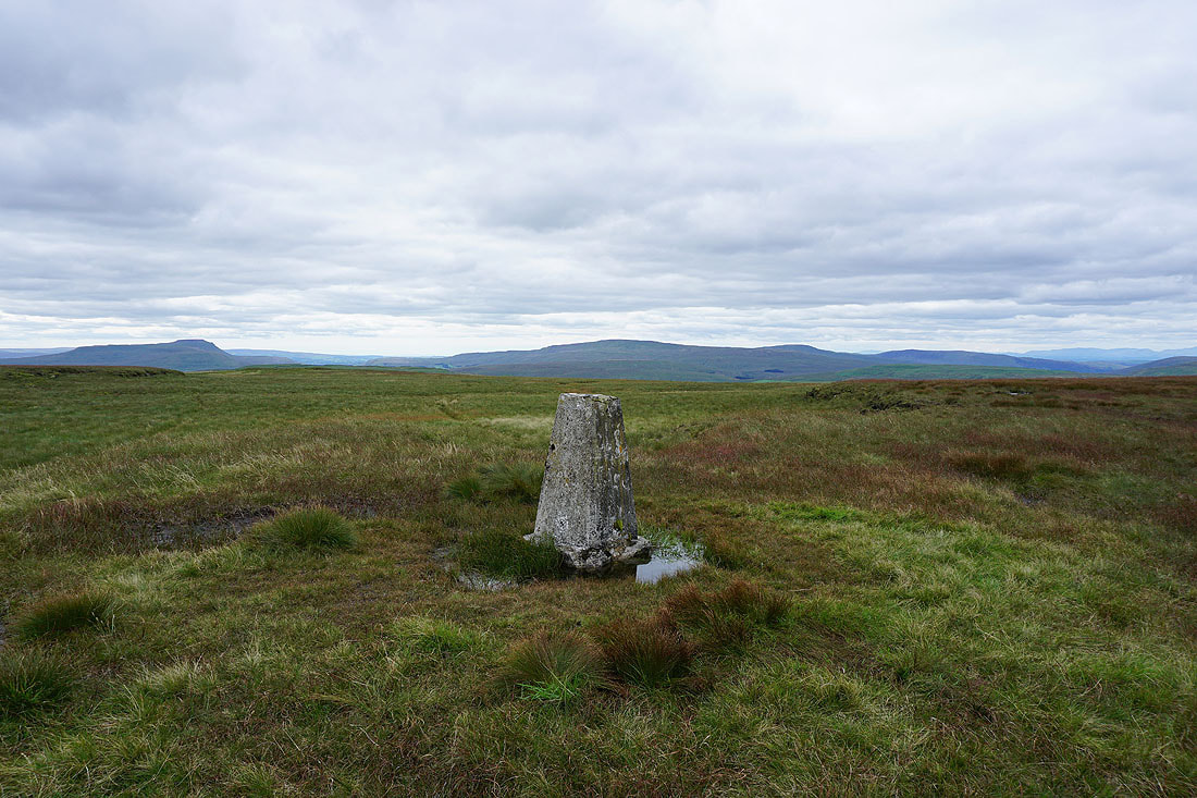
Ingleborough, Whernside, Great Coum and Middleton Fell to the southwest and west
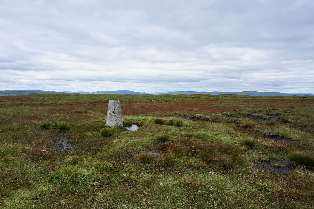
Swarth Fell, Wild Boar Fell, Lunds Fell and Great Shunner Fell to the northwest
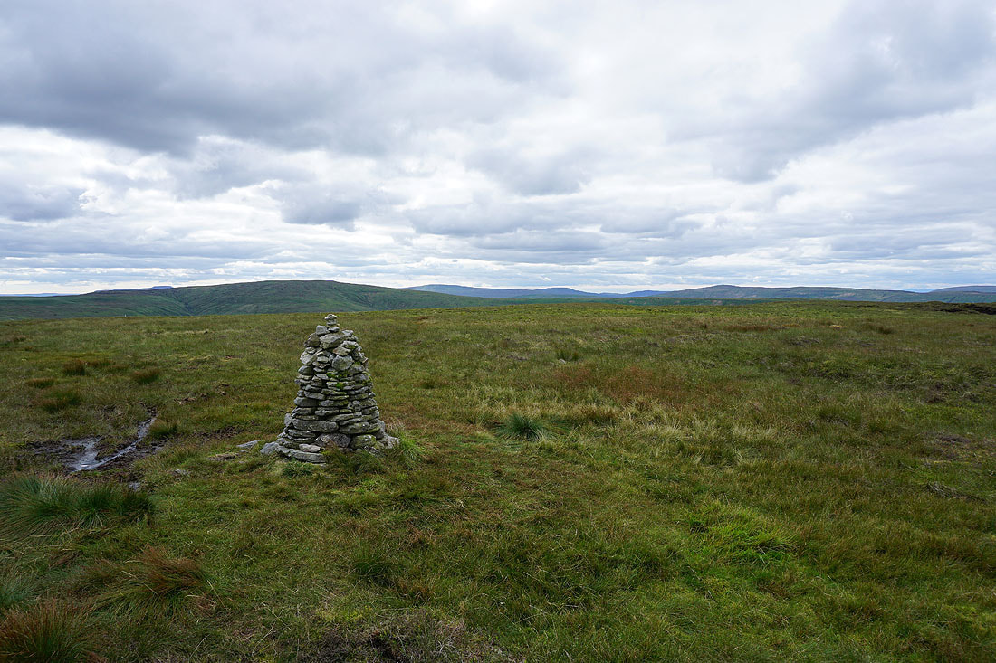
Looking southeast to Yockenthwaite Moor, Buckden Pike, Great Whernside and Birks Fell
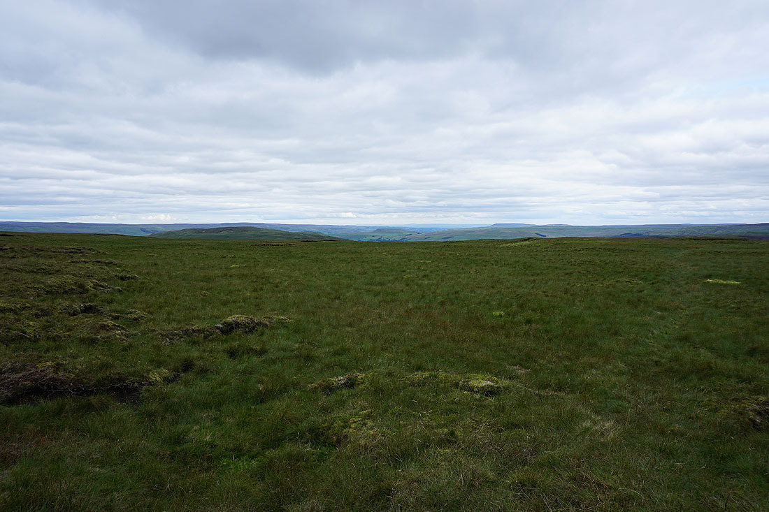
Finally, looking east to the moors around Wensleydale and Raydale
Down from Dodd Fell Hill and back to following the Pennine Way south to Kidhow Gate
Ingleborough, Cam Fell, and Whernside from Kidhow Gate
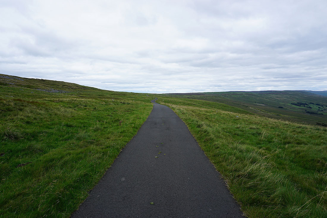
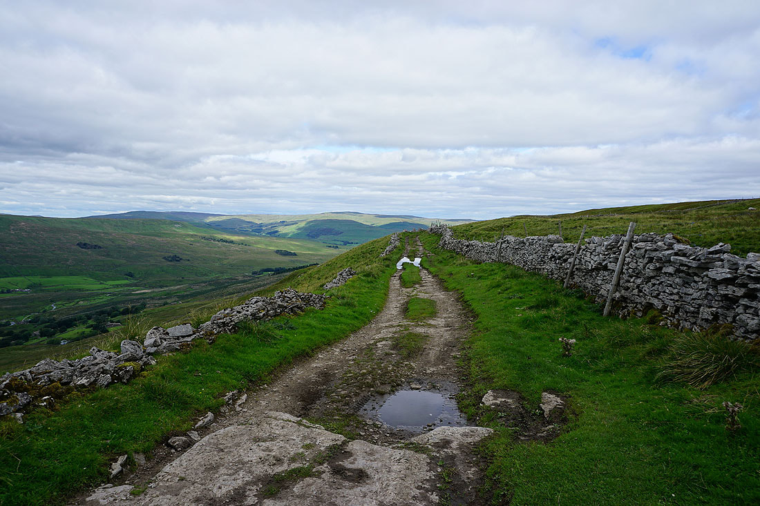
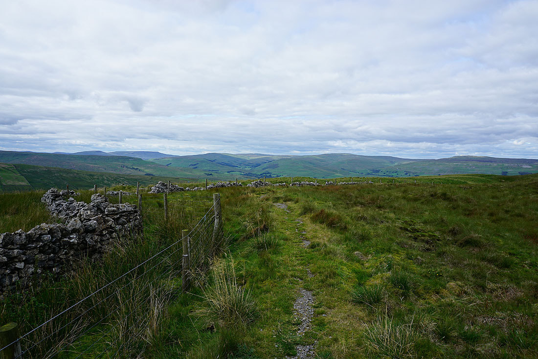
Following Cam High Road east
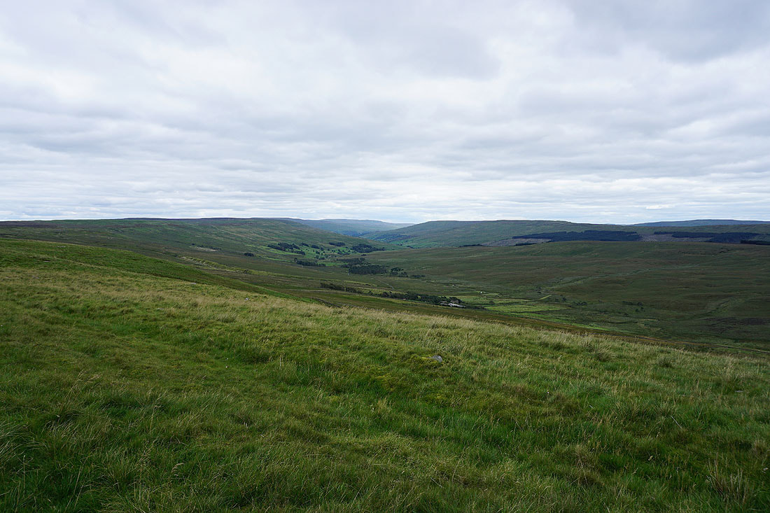
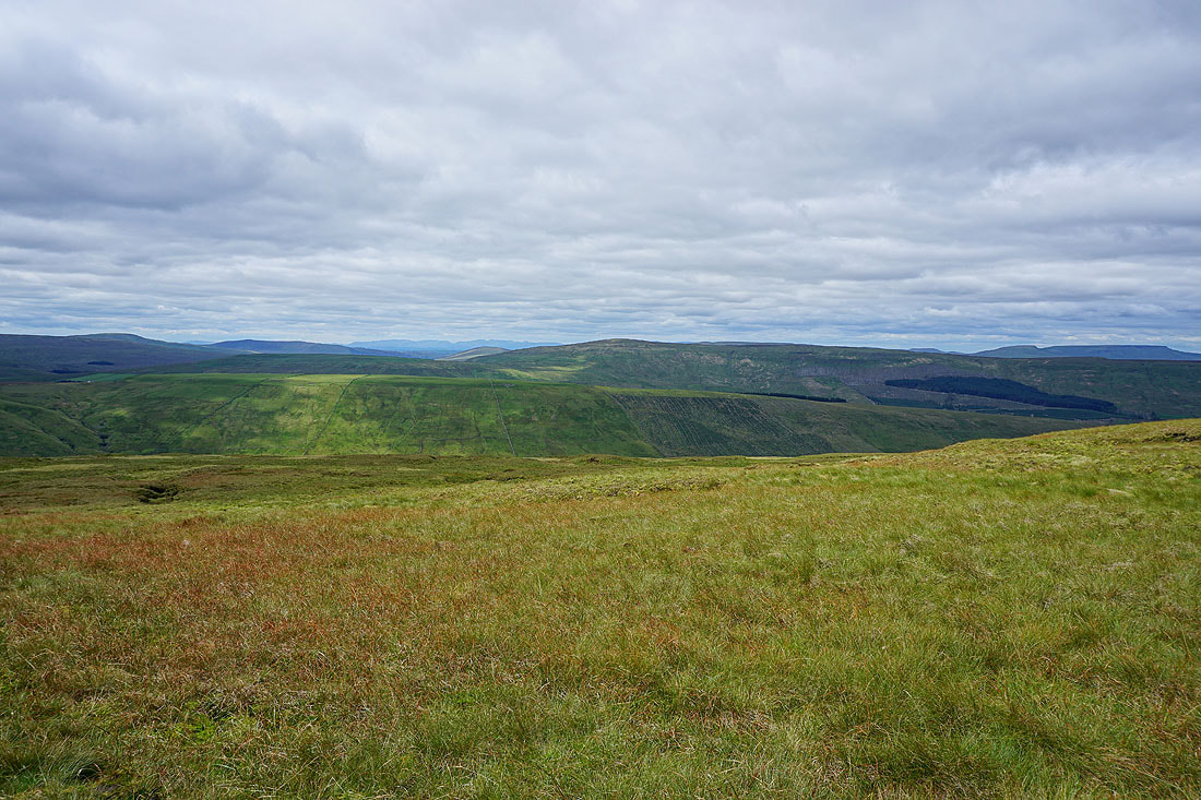
To my right I can see down to Oughtershaw and into Langstrothdale
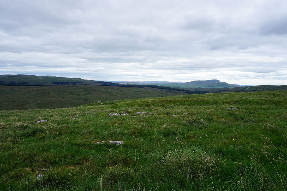
Cam Rakes, Cosh Knott and Ingleborough on the other side of Ribblesdale
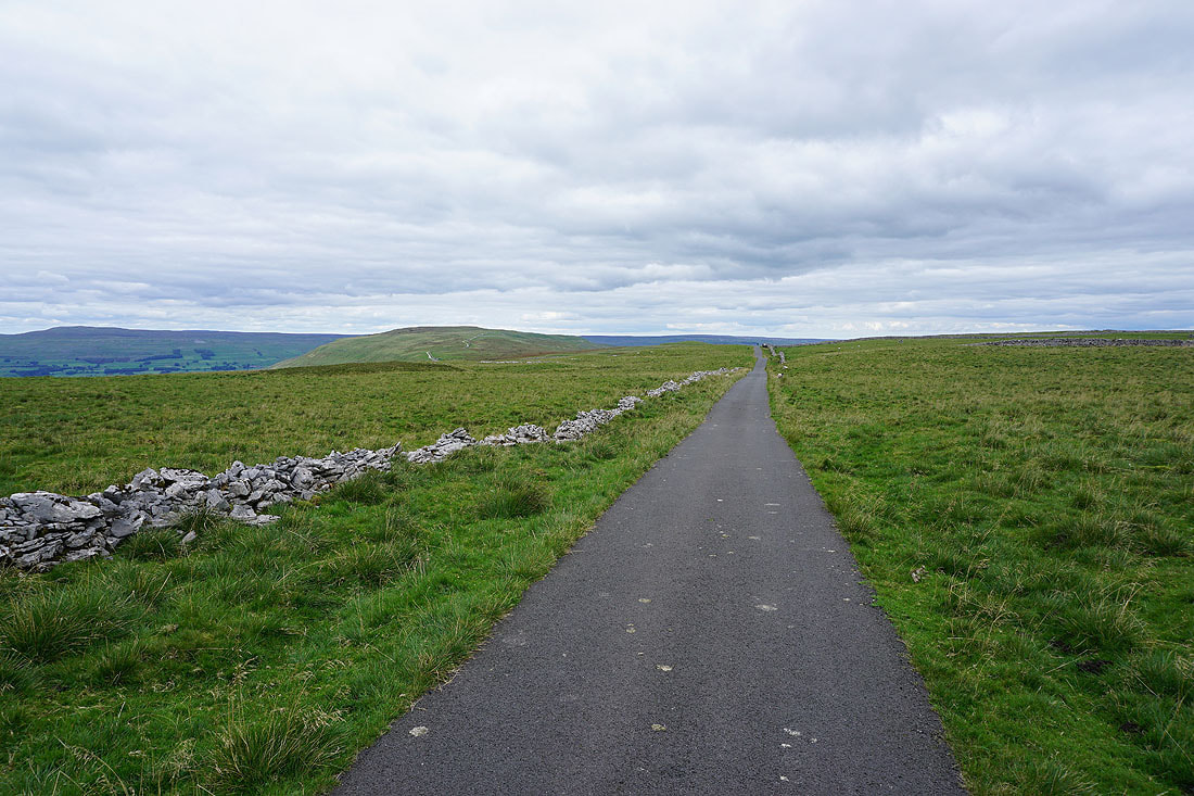
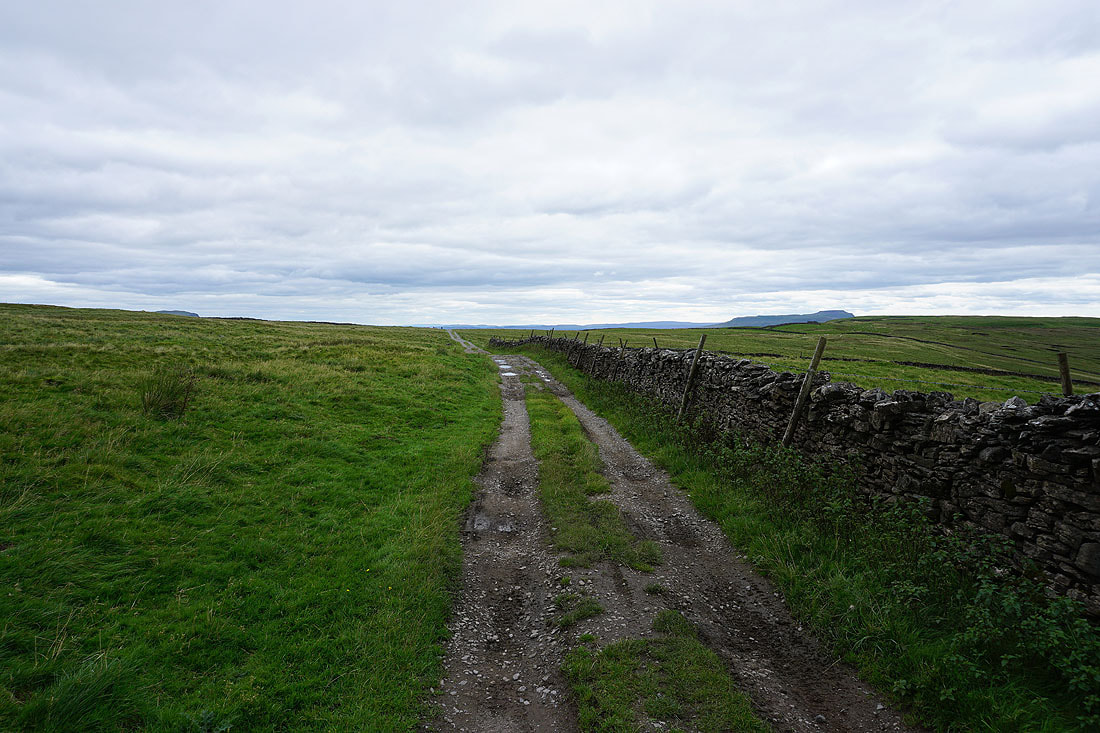
Approaching North Gate on the Cam High Road
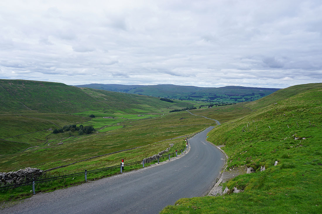
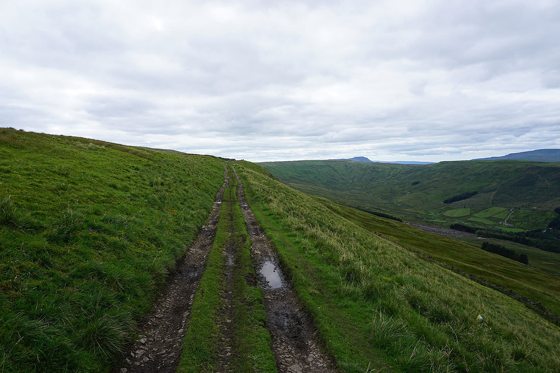
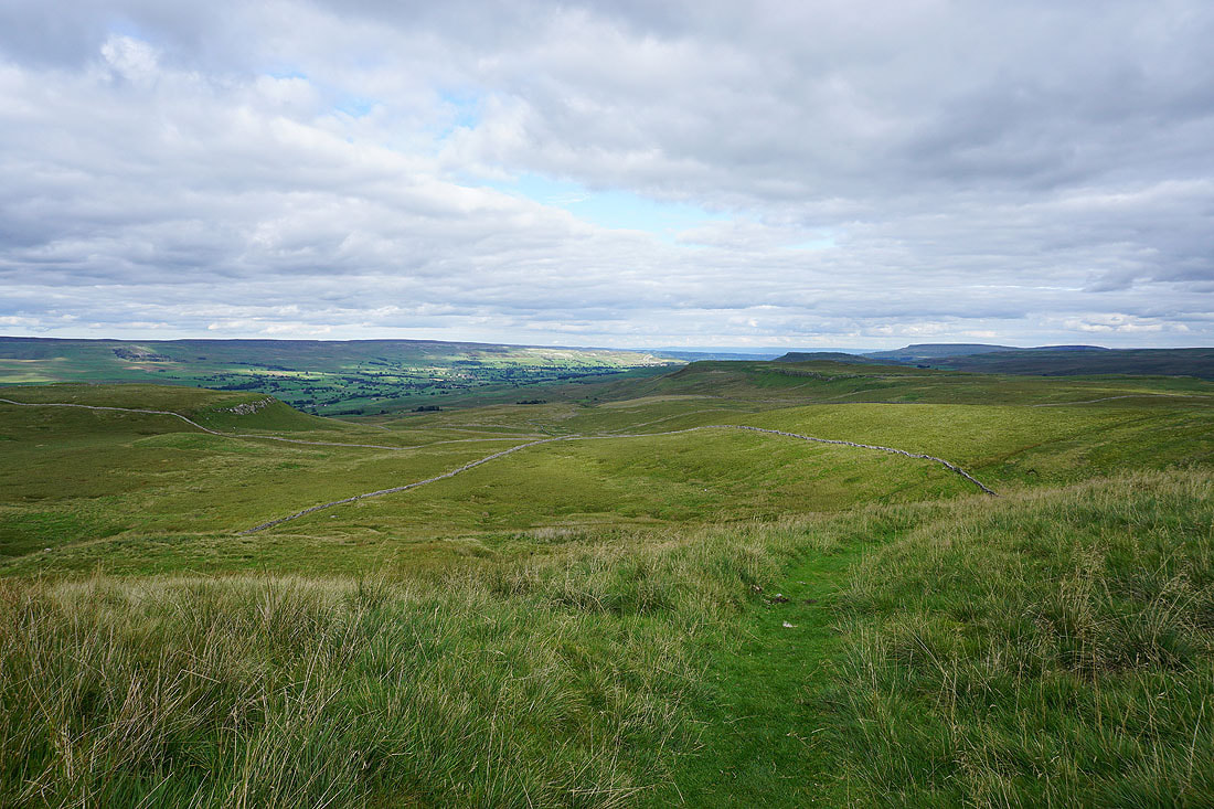
I leave the tarmacked road behind as it heads down Sleddale to Gayle and Hawes
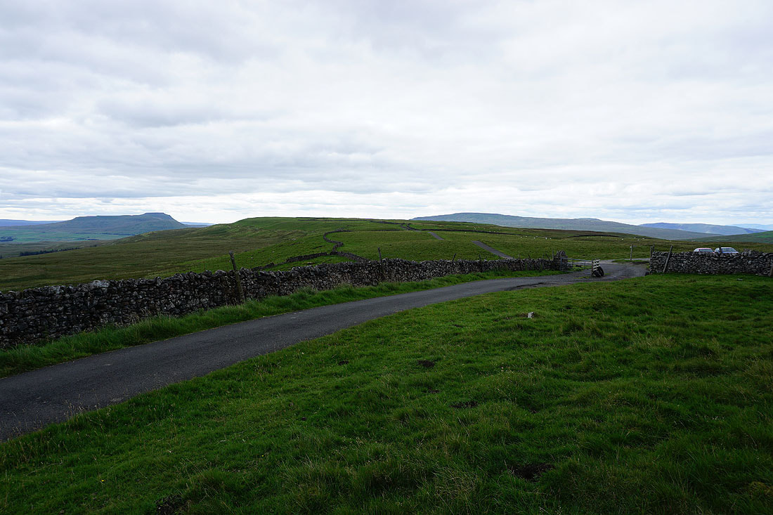
Dodd Fell Hill from Cam High Road
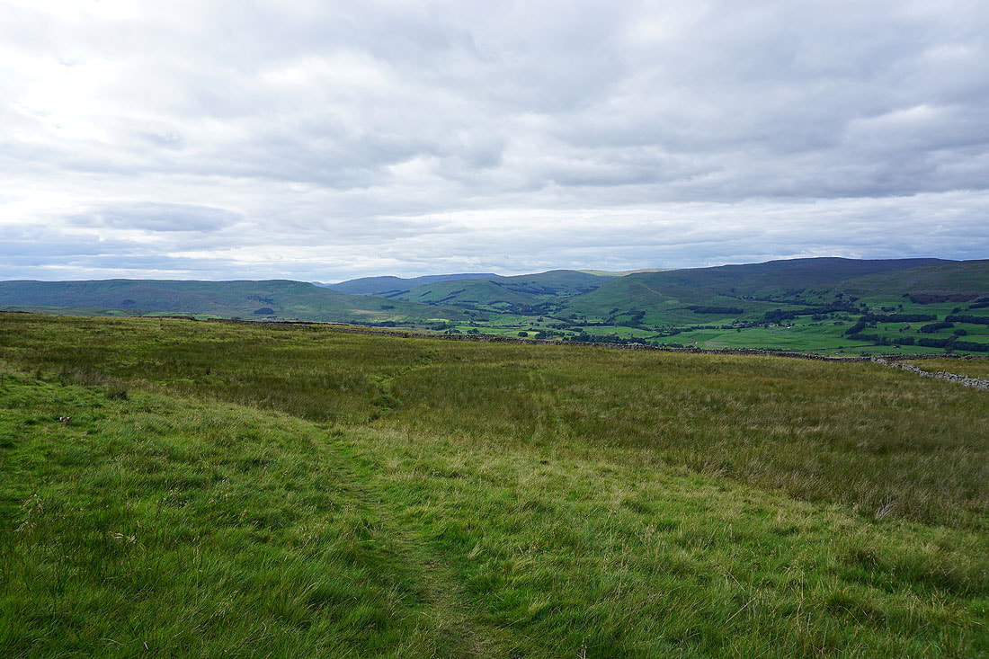
The Cam High Road continues east along the side of Wether Fell bound for Bainbridge
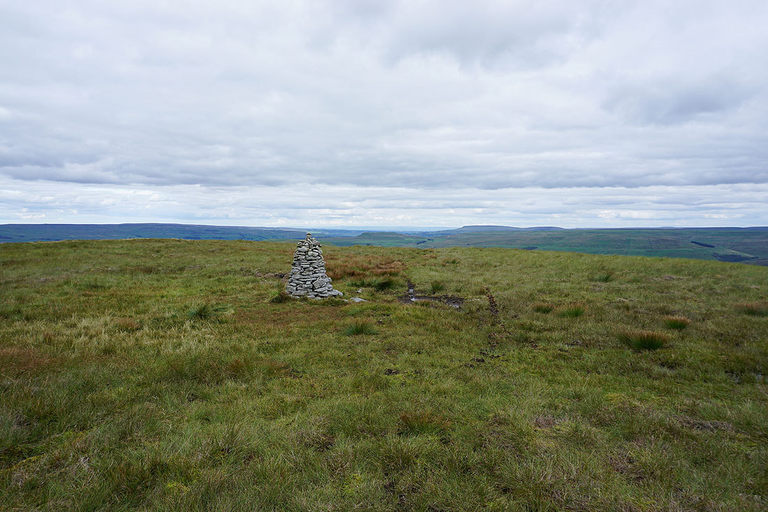
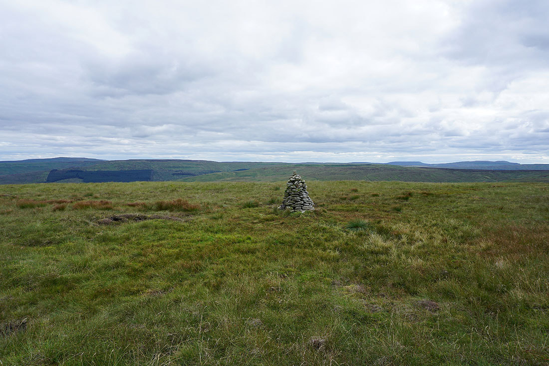
At the cairn of Drumaldrace on the summit of Wether Fell. Looking east down Wensleydale.
Swarth Fell, Wild Boar Fell, Lunds Fell, Great Shunner Fell and Lovely Seat to the north
Looking west to Dodd Fell Hill, Whernside, Great Coum and Great Knoutberry Hill
Yockenthwaite Moor and Woldside
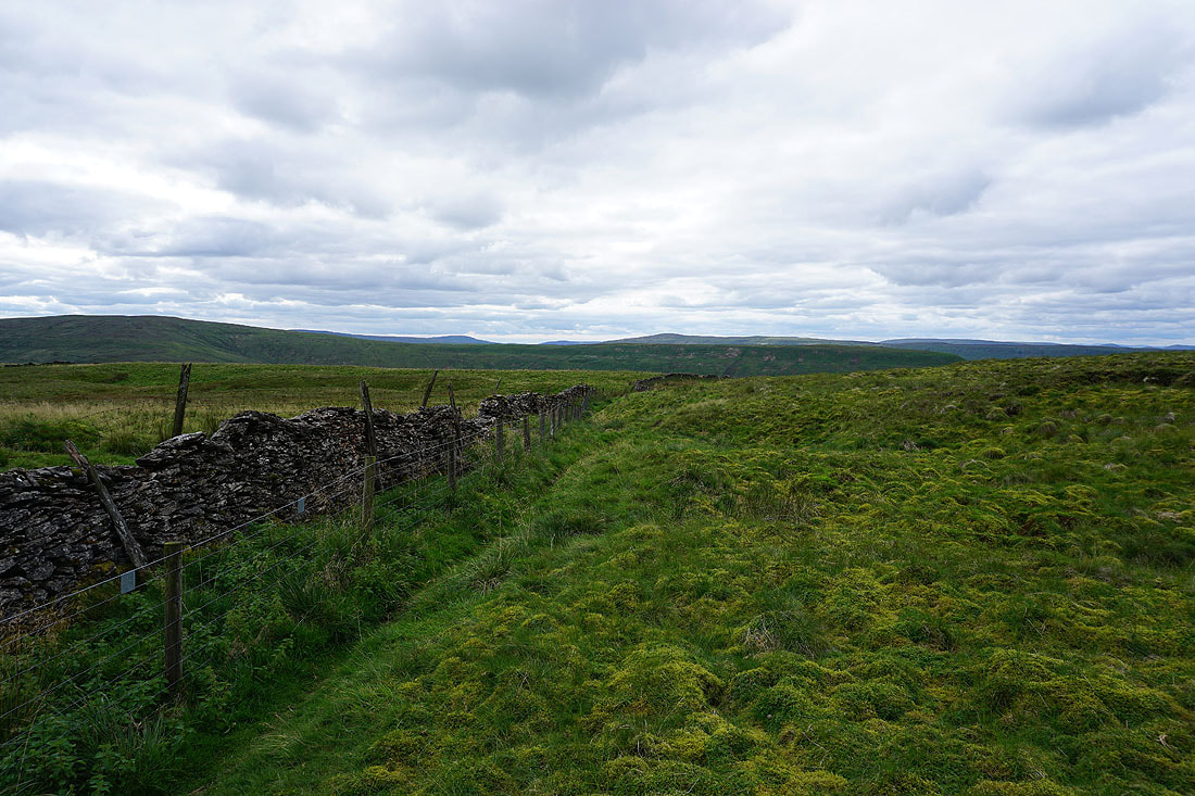
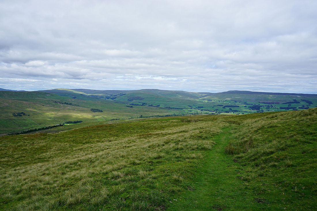
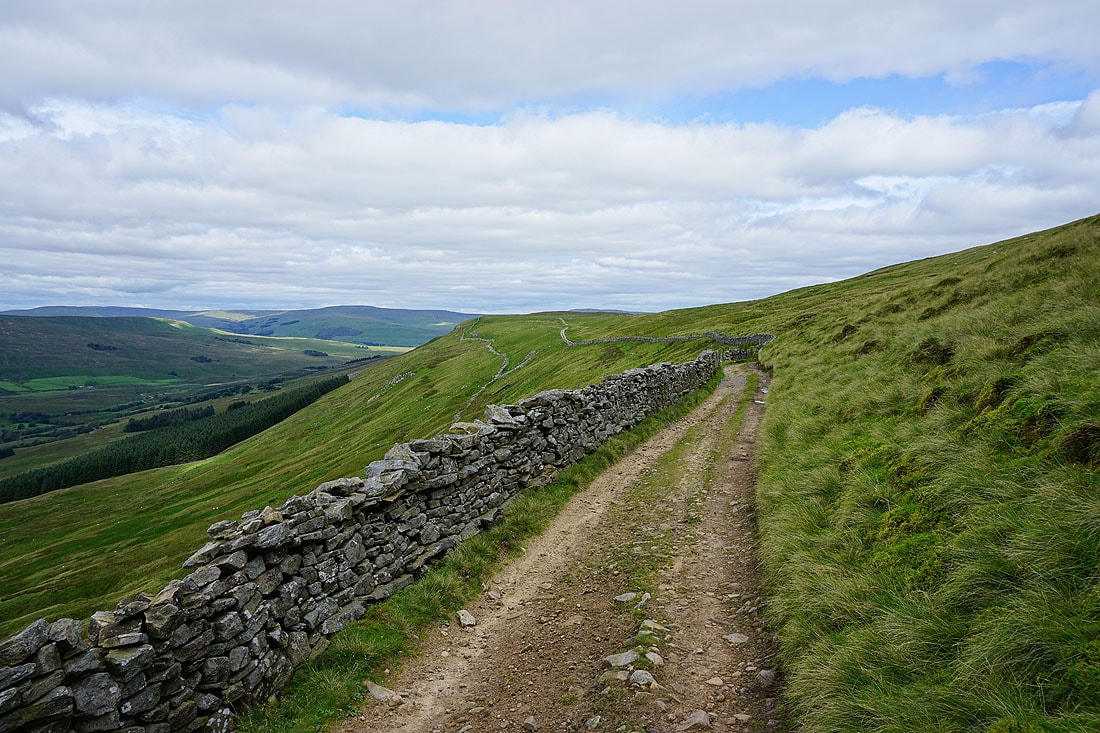
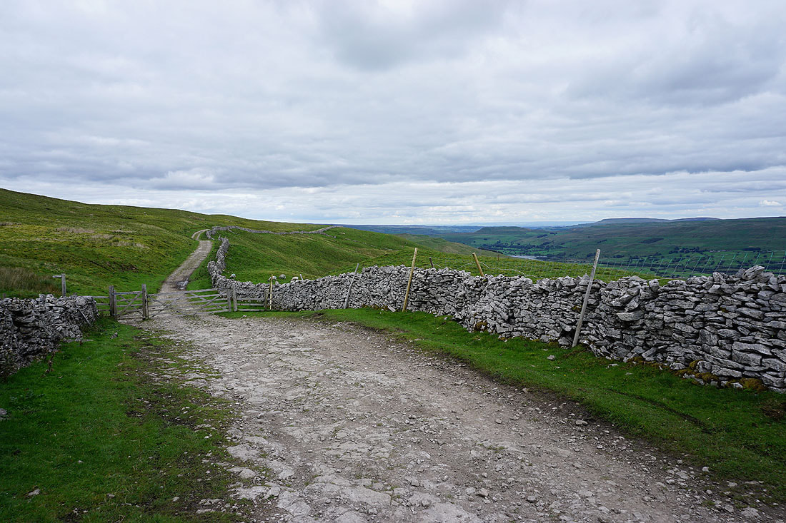
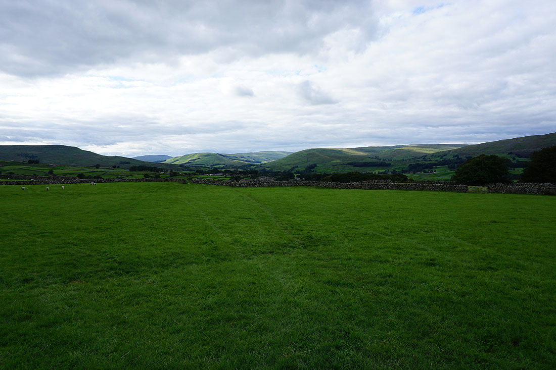
I leave the summit behind and follow the bridleway along the northern edge of the fell, which gives me improving views of the fells around the head of Wensleydale...
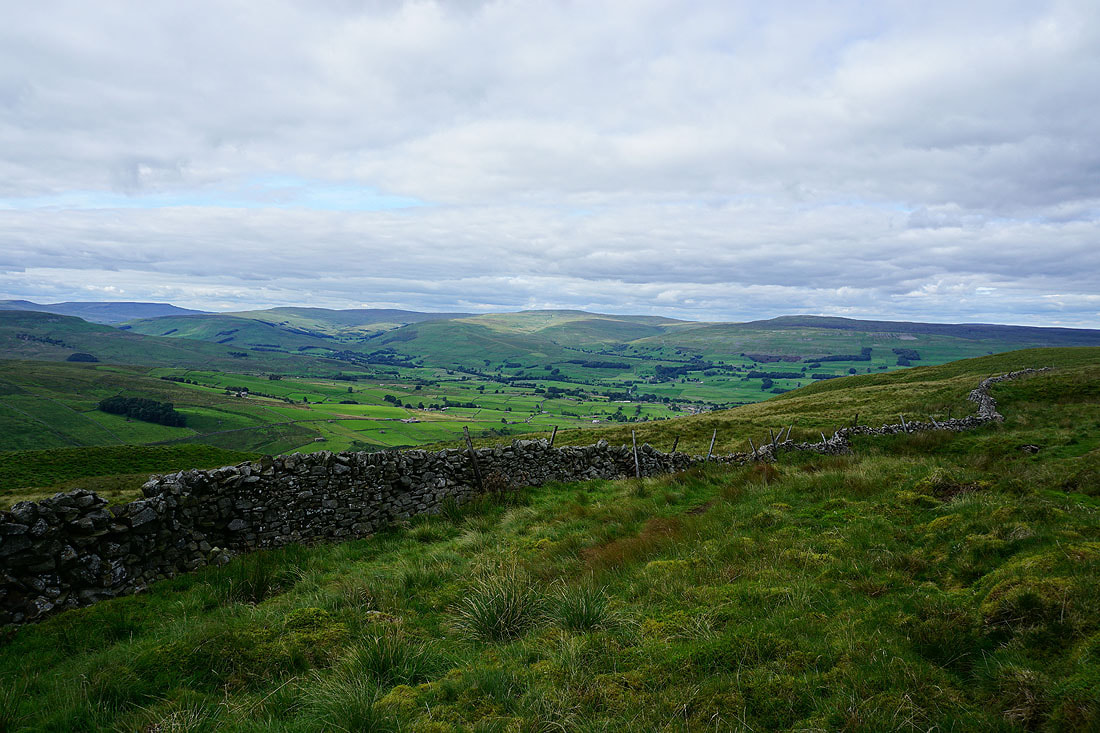
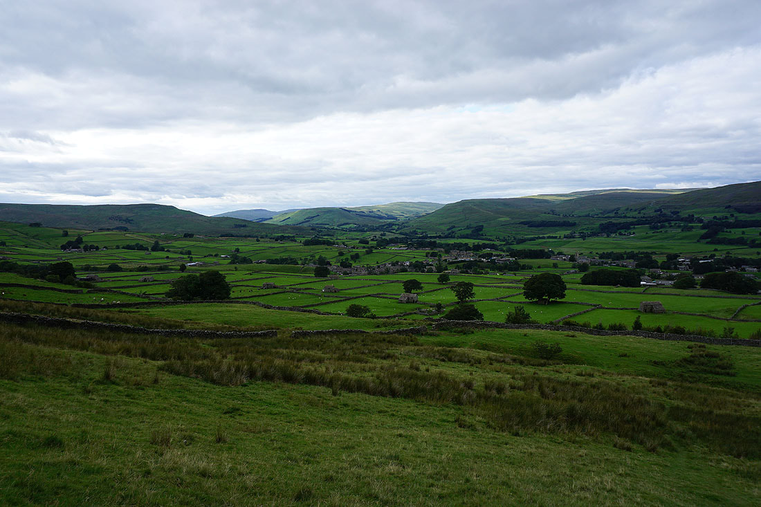
Looking down Wensleydale to Ellerkin Scar and Ivy Scar
The bridleway to Burtersett has been left behind for a footpath down to Gayle..
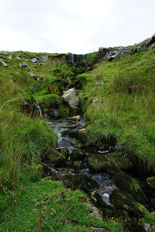
Waterfalls on Blackburn Sike
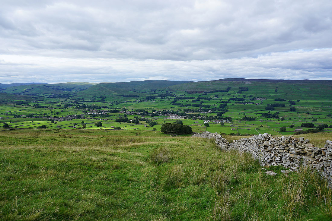
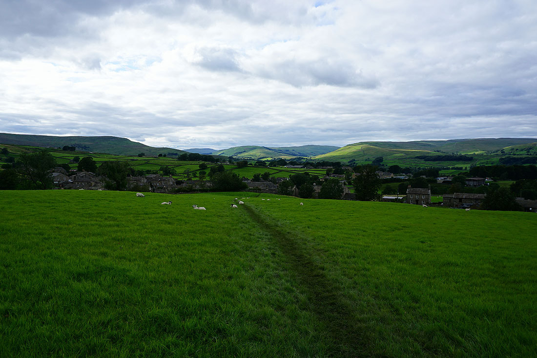
Gayle and Hawes below with Lunds Fell and Great Shunner Fell on the other side of Wensleydale
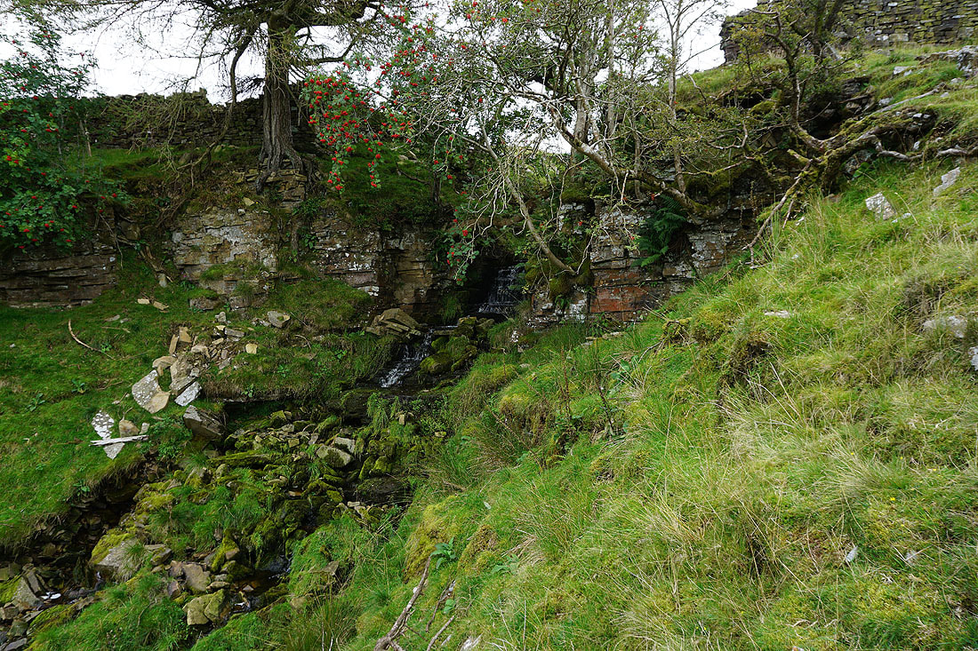
Another waterfall on Blackburn Sike
Heading down through fields to Gayle..
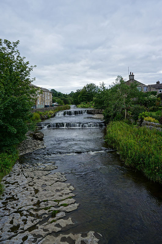
Crossing Gayle Beck as I make it back to Gayle