30th December 2008 - Glaramara
Walk Details
Distance walked: 5.0 miles
Total ascent: 2273 ft
OS map used: OL4 - The English Lakes, North-western area
Time taken: 4.5 hrs
Route description: Seatoller-Mountain View-Thornythwaite Fell-Glaramara-Thornythwaite Fell-Mountain View-Seatoller
A walk up Glaramara from Seatoller in Borrowdale. It was a bitterly cold day and unfortunately low cloud was gradually approaching throughout the walk and prevented me having any view from the summit of Glaramara.
Route map
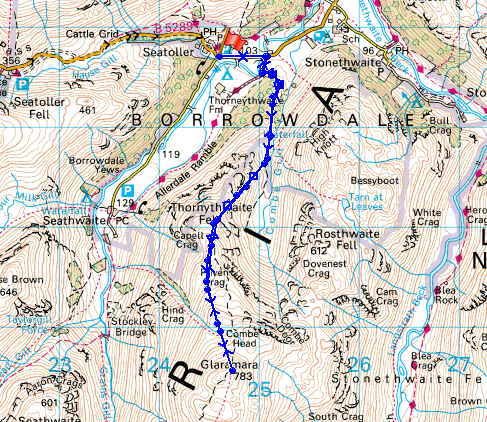
© Crown copyright. All rights reserved. License number PU 100034184.
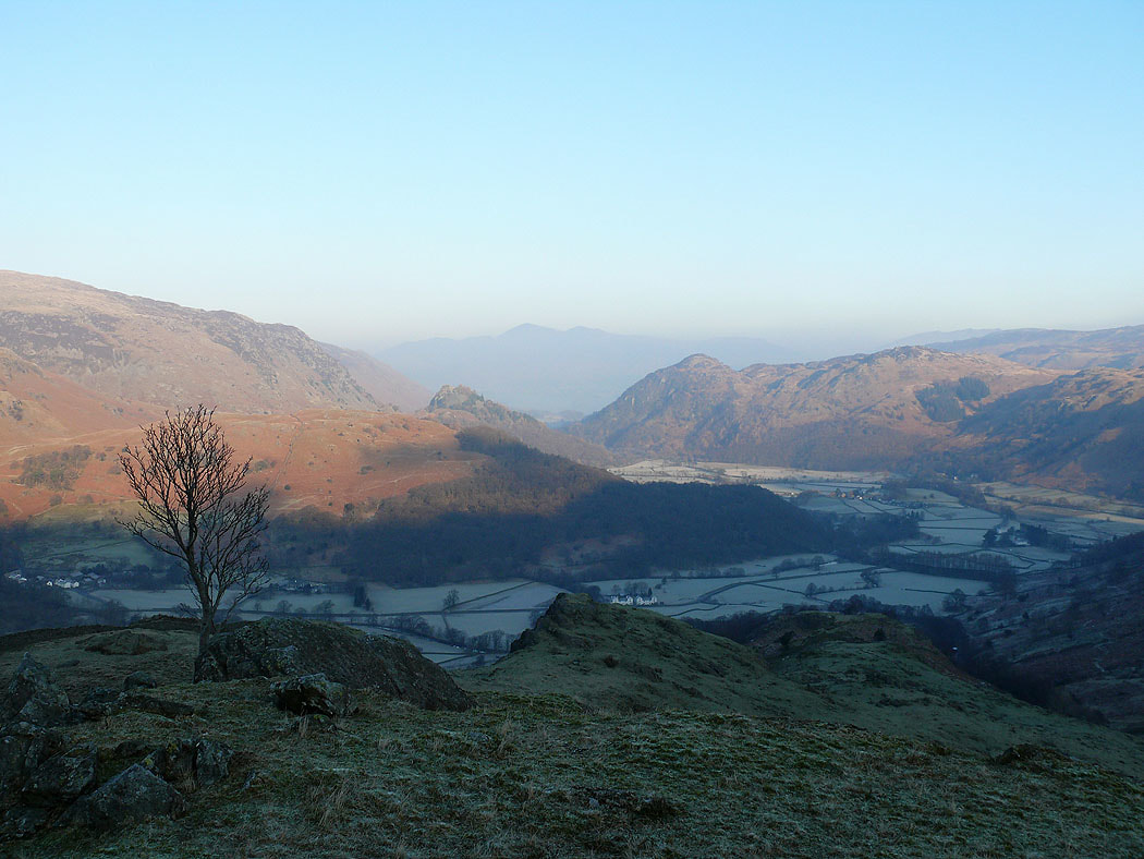
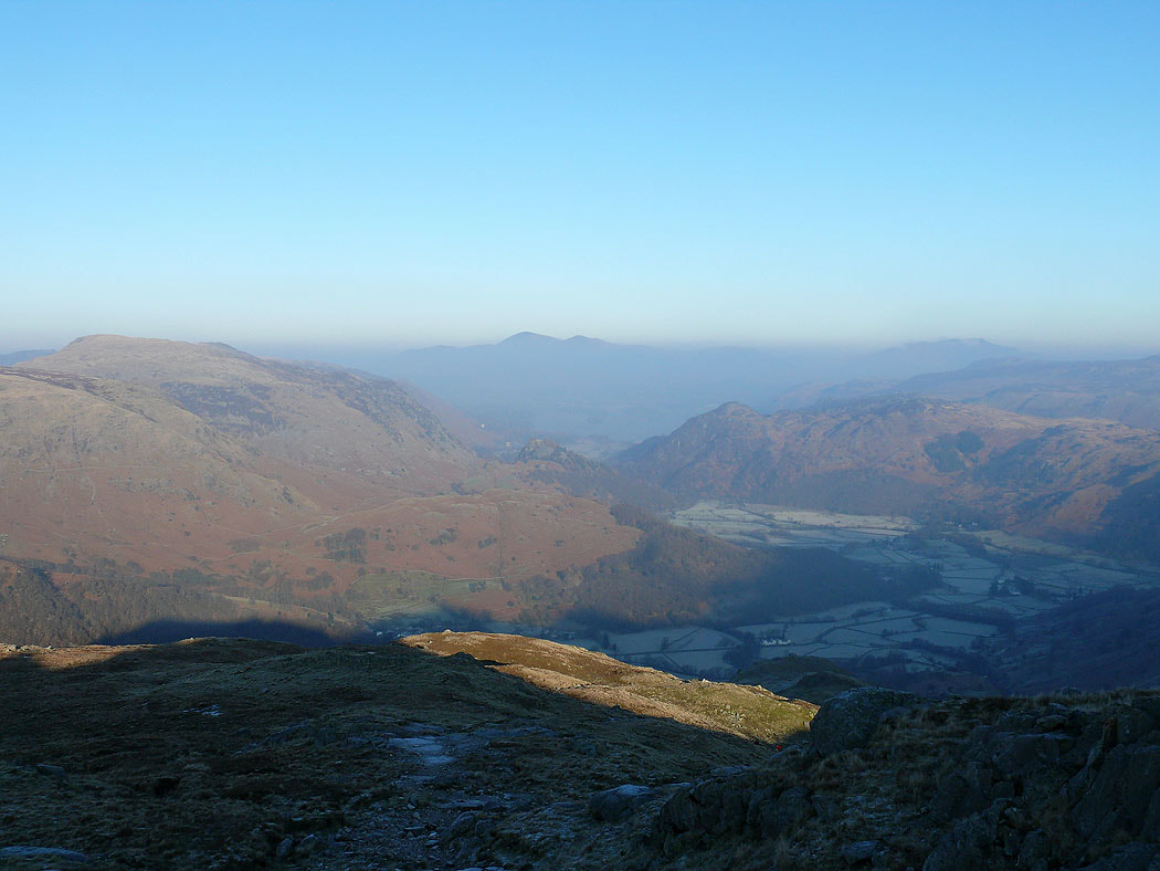
Borrowdale below from the climb up Thornythwaite Fell
Zooming in on Castle Crag and King's How
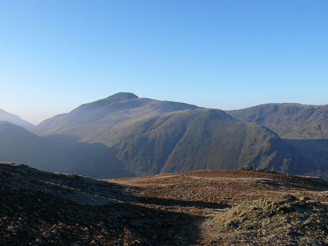
Higher up and I have a view of Great Gable
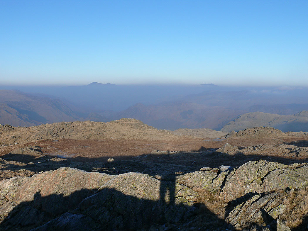
The top of Skiddaw is just above the mist
The top of Glaramara was in cloud. I'm now on my way back down. The tops of Skiddaw and Blencathra are visible.
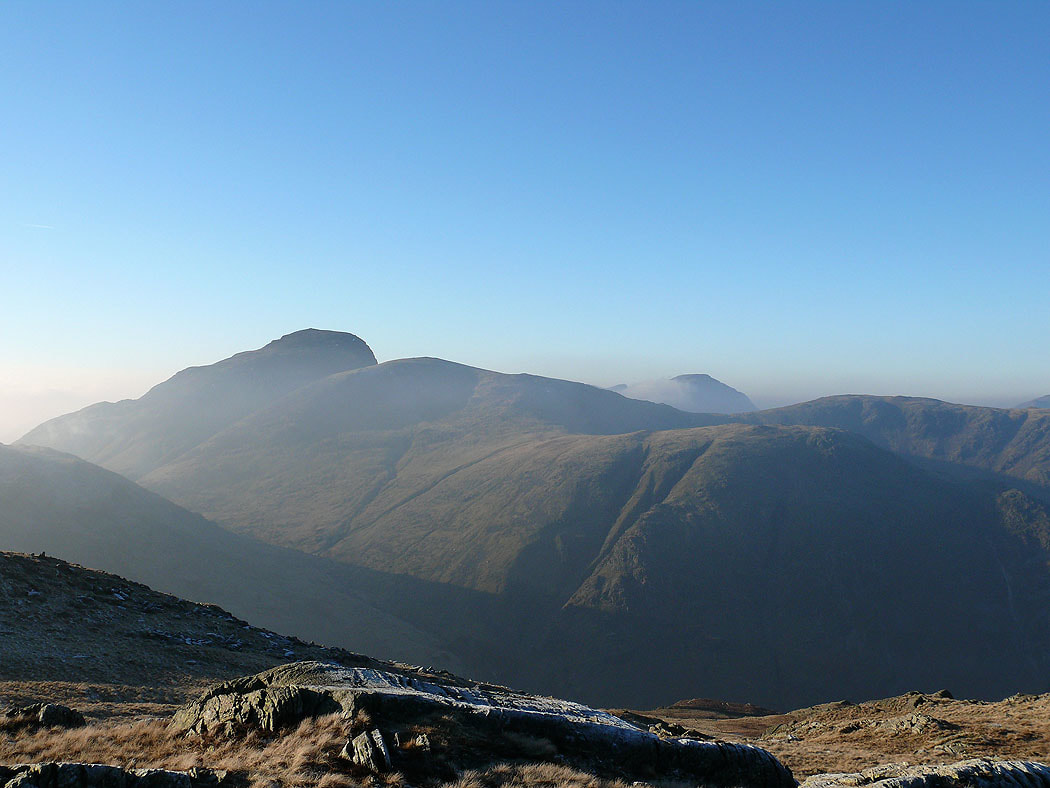
Great Gable and Green Gable
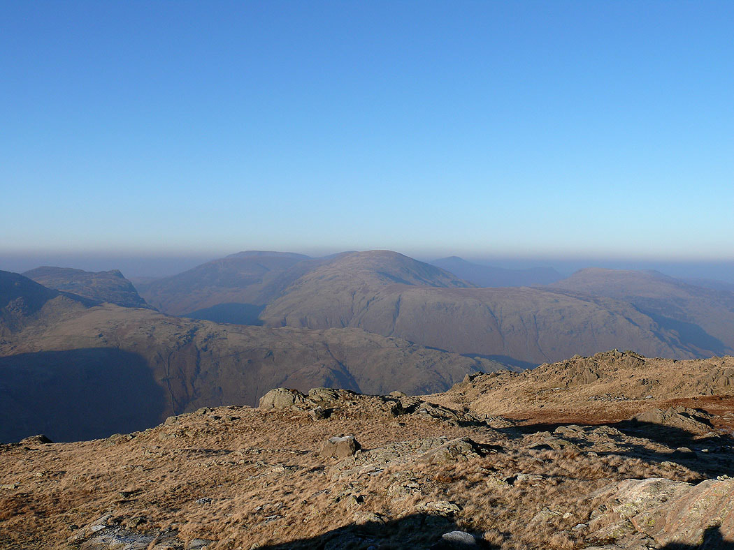
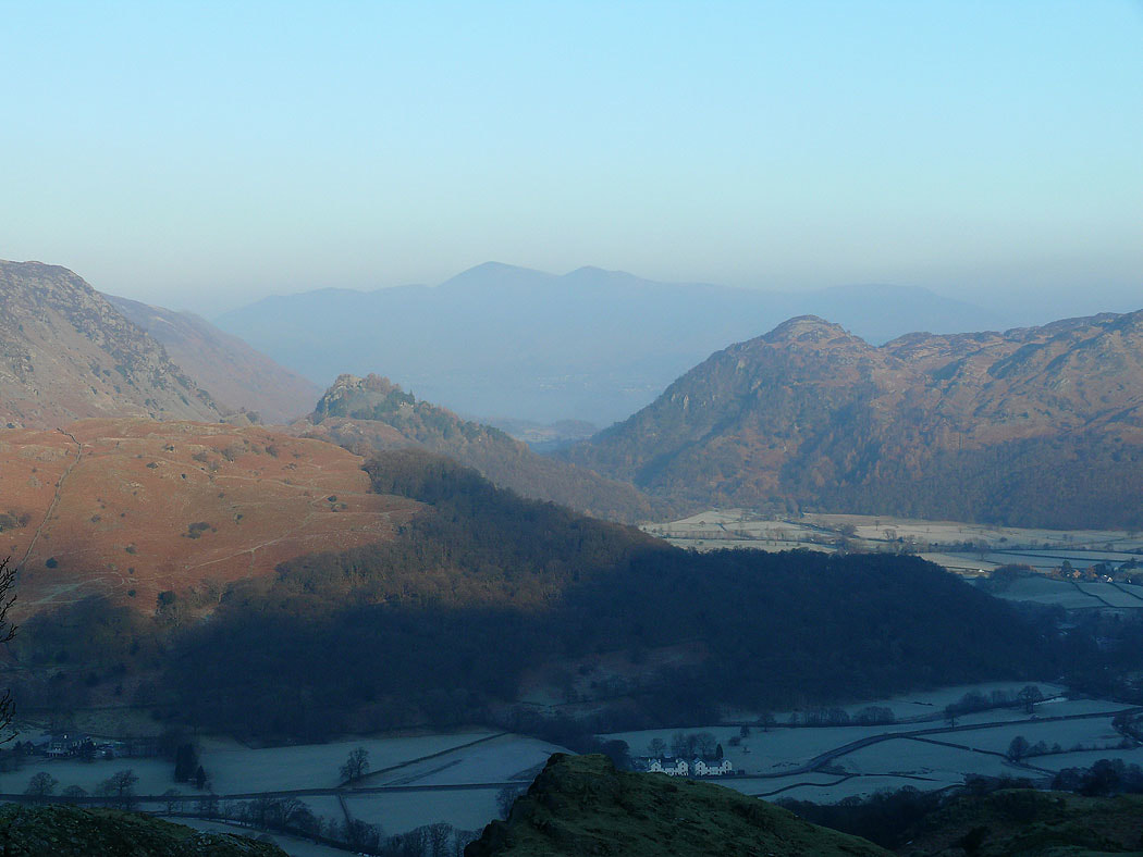
Dale Head and the northwestern fells
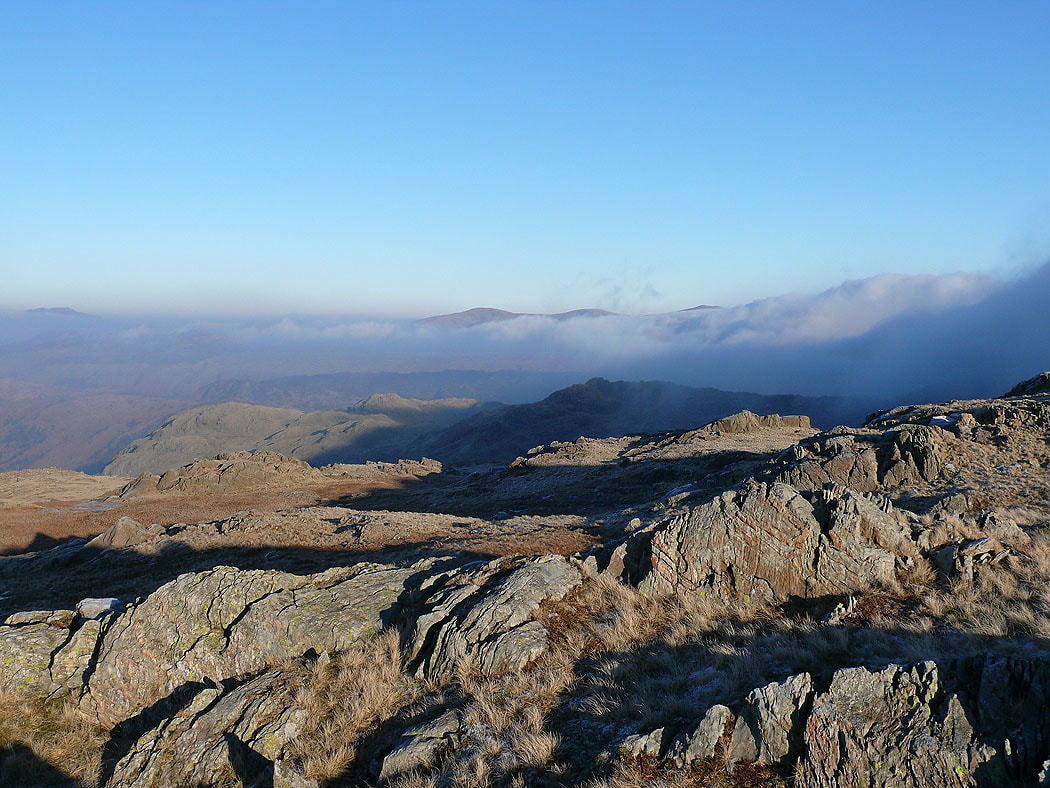
The cloud is steadily encroaching. The tops of Great Dodd, Stybarrow Dodd and Raise are still visible to the east.
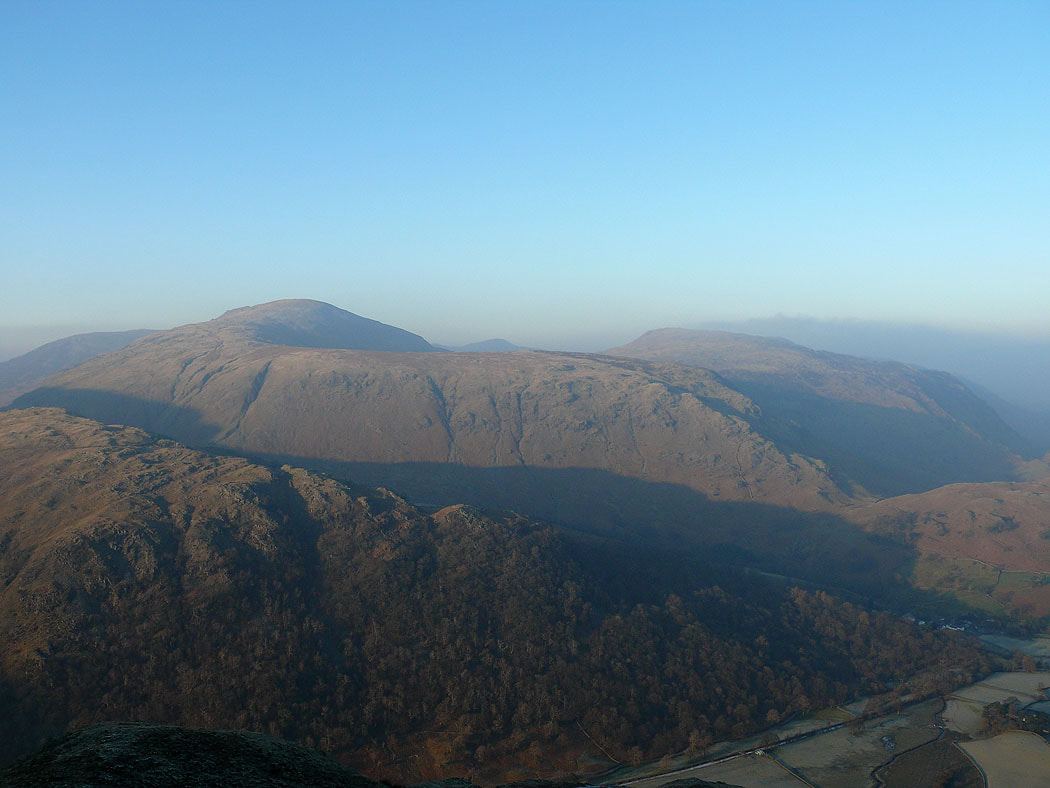
Dale Head and High Spy from Thornythwaite Fell
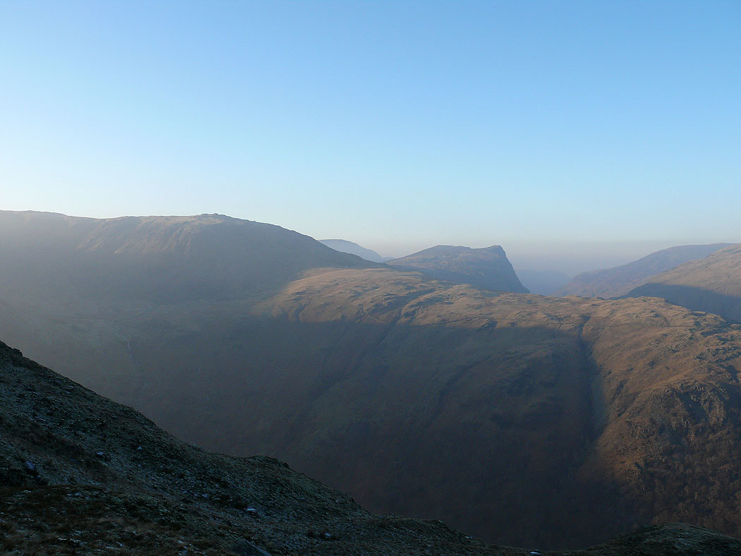
A view across to Honister Crag
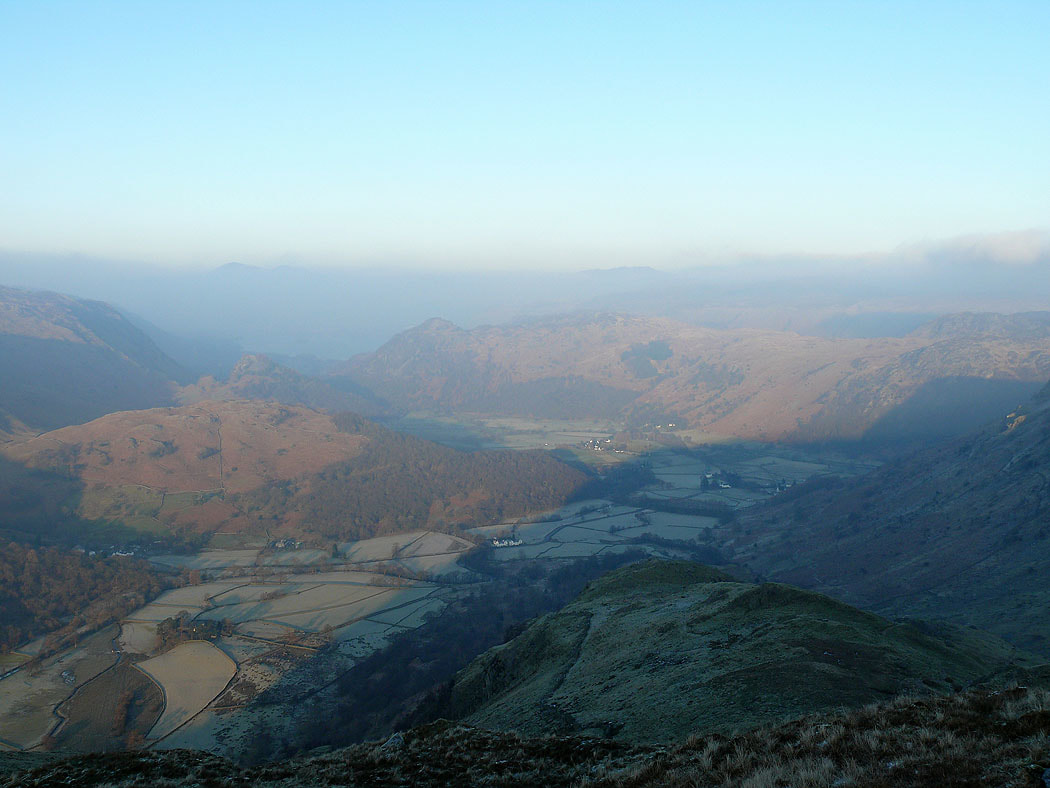
A final shot down into Borrowdale