30th January 2010 - Place Fell
Walk Details
Distance walked: 7.9 miles
Total ascent: 2567 ft
OS map used: OL5 - The English Lakes, North-eastern area
Time taken: 5.5 hrs
Route description: Patterdale-Side Farm-Boredale Hause-Place Fell-High Dodd-Sleet Fell-Sandwick-Ullswater path-Side Farm-Patterdale
I set off from Patterdale and made my way down the track to Side Farm before heading for the summit of Place Fell via Boredale Hause. From the summit I headed for High Dodd and Sleet Fell and then down to Sandwick before heading back to Patterdale by the Ullswater path.
Route map
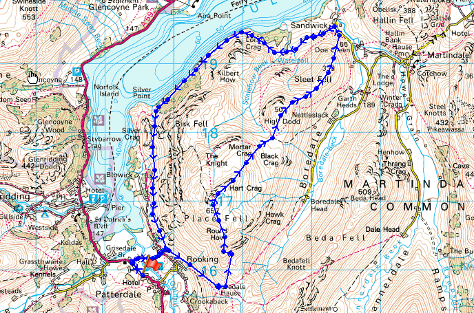
© Crown copyright. All rights reserved. License number PU 100034184.
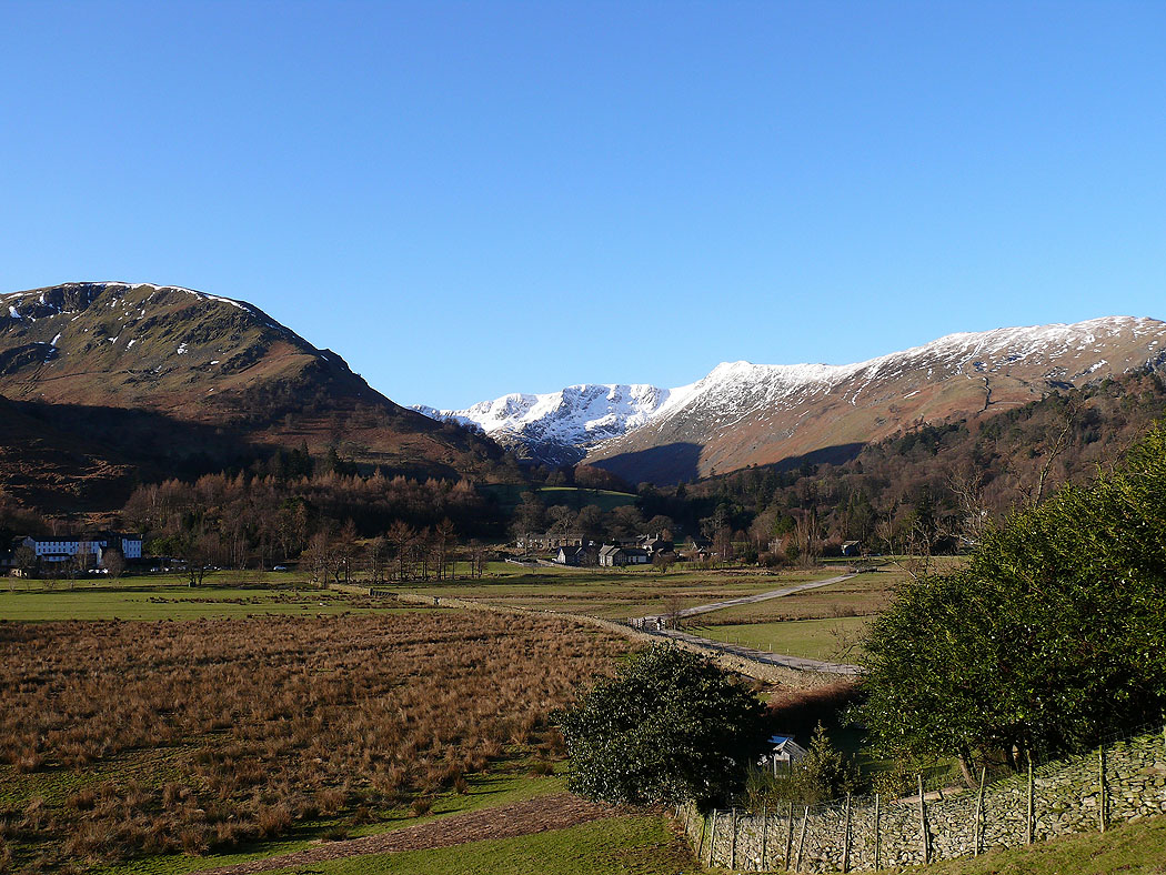
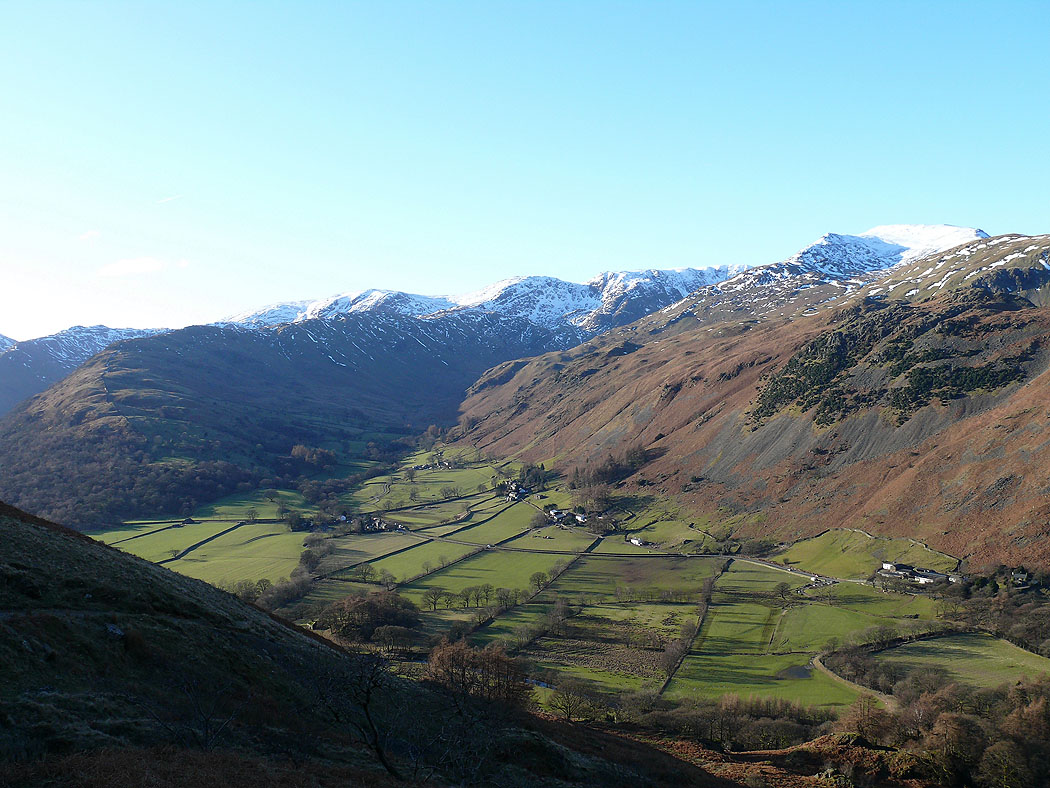
Nethermost Pike at the top of Grisedale from the start of the path up to Boredale Hause
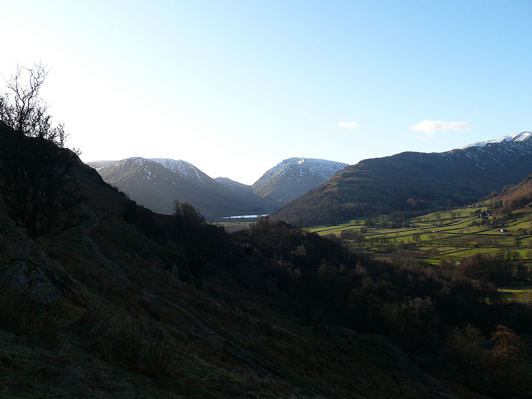
Brotherswater below the Kirkstone Pass with Caudale Moor to the left and Red Screes to the right
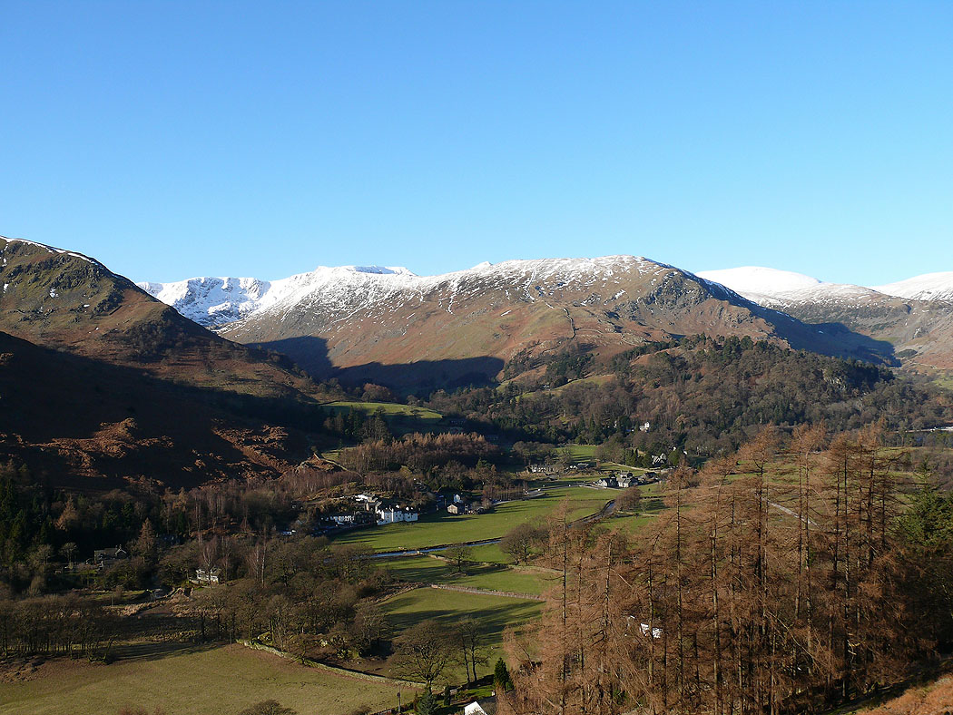
Birkhouse Moor above Patterdale
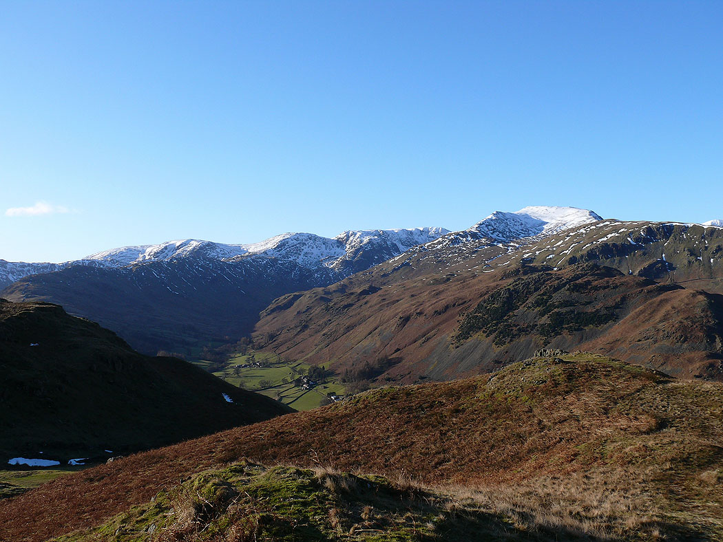
Dove Crag, Hart Crag and St Sunday Crag with the ridge of Hartsop-above-How enclosing Deepdale
Higher up, Helvellyn and Catstye Cam come into view above Birkhouse Moor
Dove Crag, Hart Crag, Fairfield and St Sunday Crag
St Sunday Crag and Helvellyn
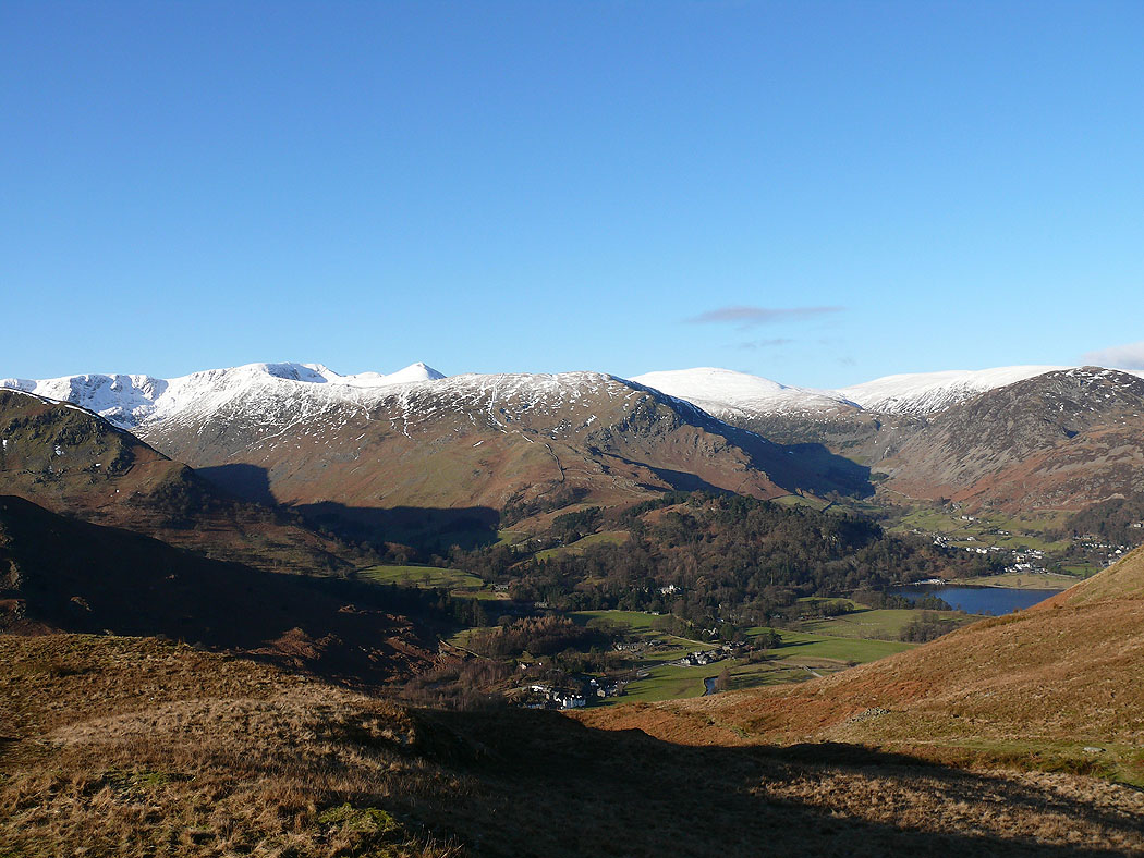
Helvellyn and Catstye Cam above Birkhouse Moor. Raise to the right.
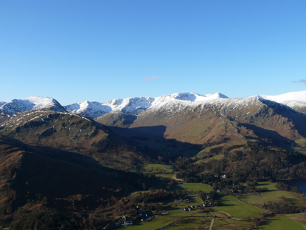
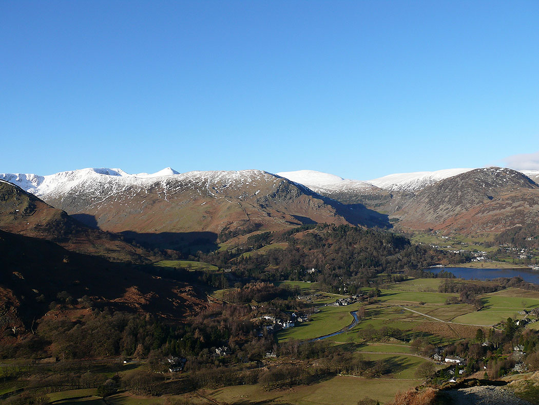
St Sunday Crag and Helvellyn with Grisedale between
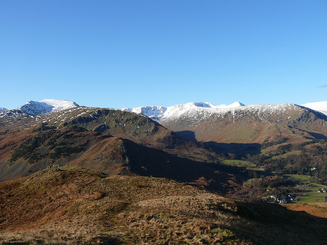
Almost at the top. The Helvellyn range across Patterdale.
Brotherswater and the fells around the Kirkstone Pass
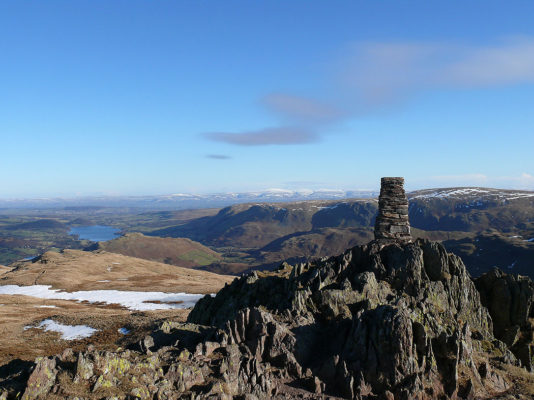
The summit of Place Fell. The hill to the right of the trig column is Loadpot Hill. The snow covered North Pennines in the distance.
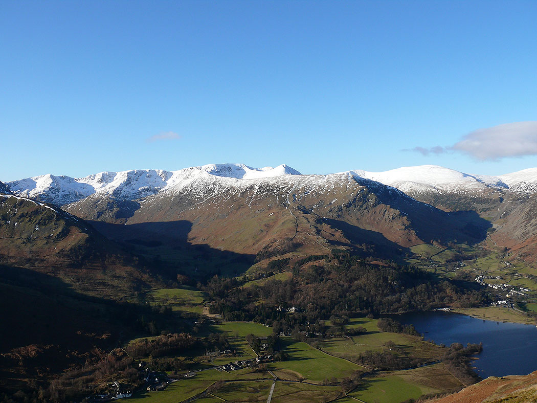
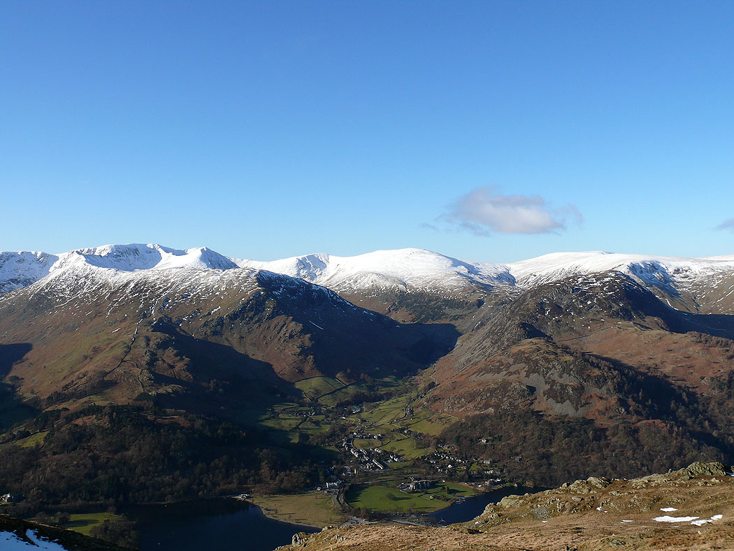
Helvellyn from the summit of Place Fell
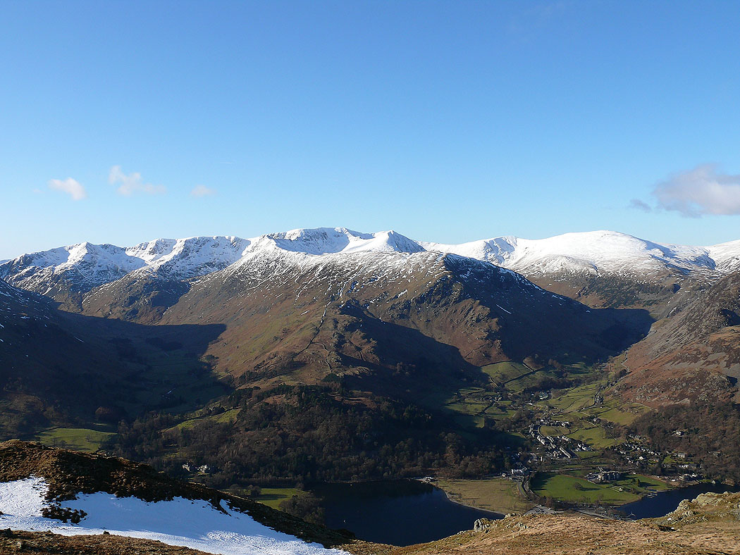
and again
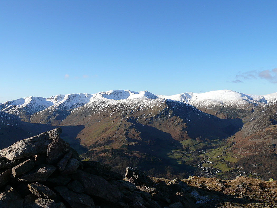
Helvellyn, Catstye Cam, Whiteside, Raise with Stybarrow Dodd across the Sticks Pass. Glenridding below across Ullswater.
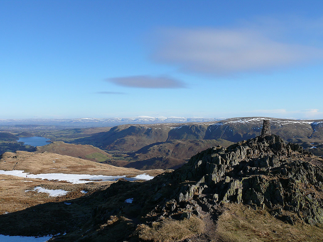
Place Fell summit looking to the Pennines in the distance

High Street and the far eastern fells

Helvellyn, Catstye Cam, Whiteside, Raise and Stybarrow Dodd
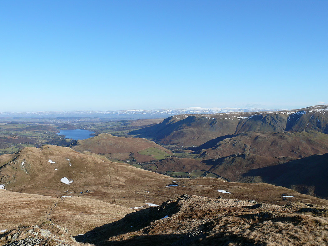
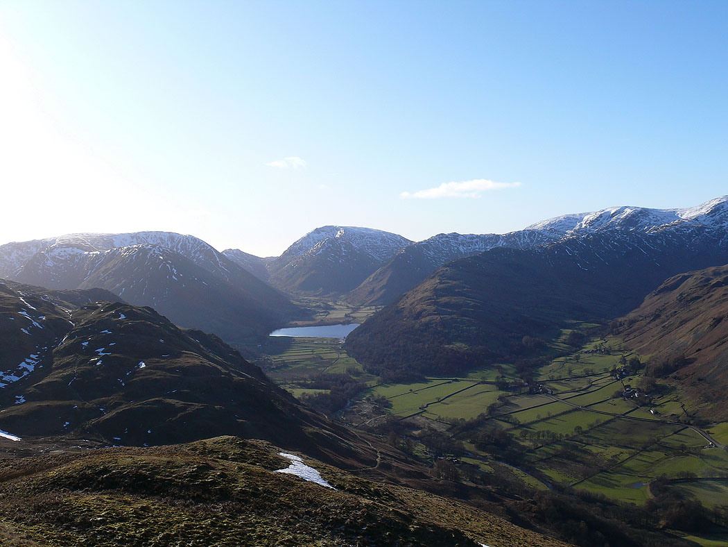
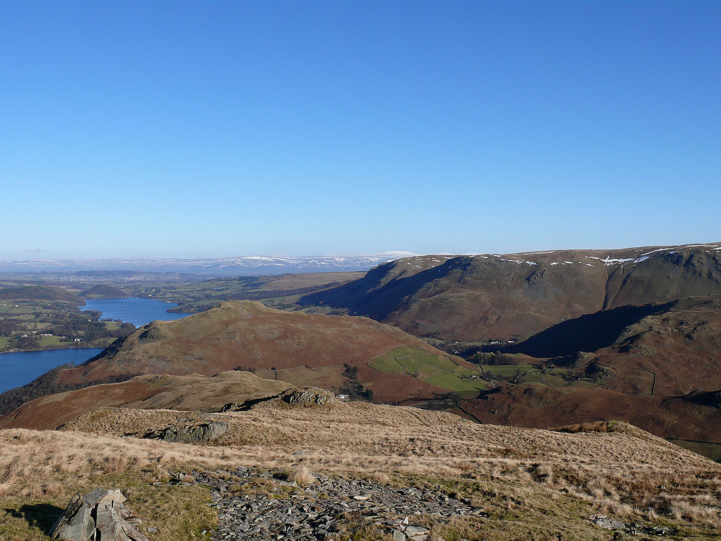
Descending northwards, the foot of Ullswater comes into view and the fells around Martindale
Lower down with High Dodd ahead
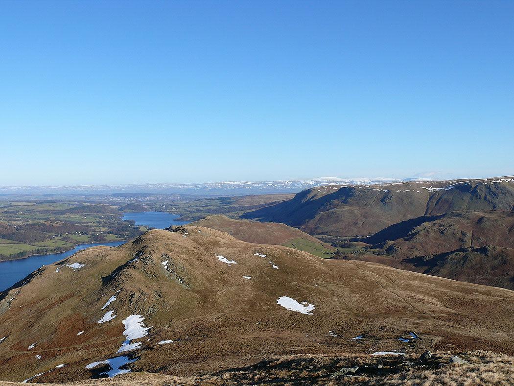
On High Dodd. More of Ullswater visible. Hallin Fell dead centre obscuring part of Ullswater.

Blencathra in the distance
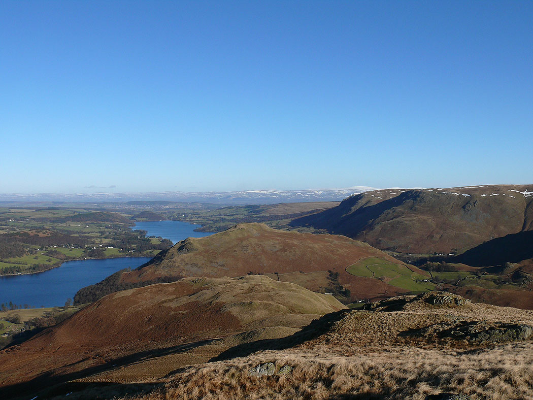
Heading down for Sleet Fell
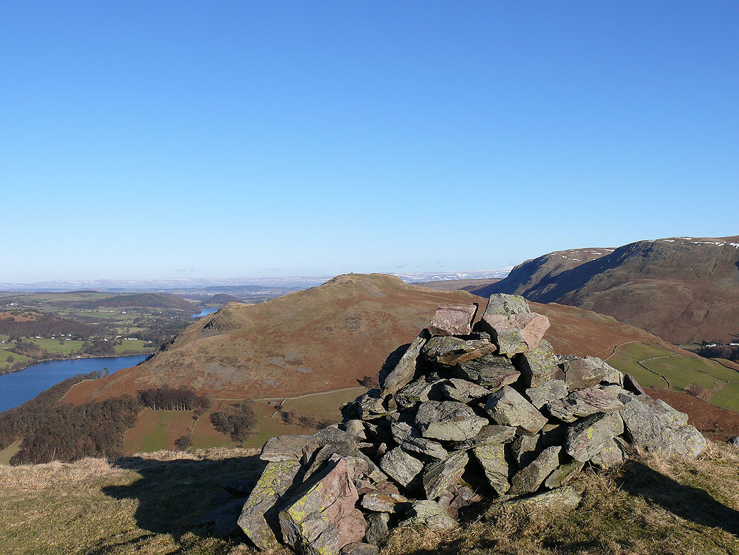
Hallin Fell behind the cairn on Sleet Fell
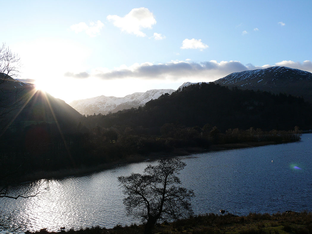
Almost back in Patterdale. The sun is setting behind St Sunday Crag.