Pennine Walker, a photographic walking diary

  • HOME
  • About this site
  • Walking Diaries
    • Walking Diary 2022
    • Walking Diary 2021
    • Walking Diary 2020
    • Walking Diary 2019
    • Walking Diary 2018
    • Walking Diary 2017
    • Walking Diary 2016
    • Walking Diary 2015
    • Walking Diary 2014
    • Walking Diary 2013
    • Walking Diary 2012
    • Walking Diary 2011
    • Walking Diary 2010
    • Walking Diary 2009
    • Walking Diary 2008
  • Lake District Walks
  • Peak District Walks
  • Yorkshire Dales Walks
  • Forest of Bowland, Pendle & West Pennine Moors Walks
  • South Pennines Walks
  • Walks in other areas
  • Links Page

30th January 2015 - Cribden Hill

Walk Details

No route map and description. I set off from home and made my way up to The Halo and the top of Cribden Hill, the hill which I live at the foot of.

Picture
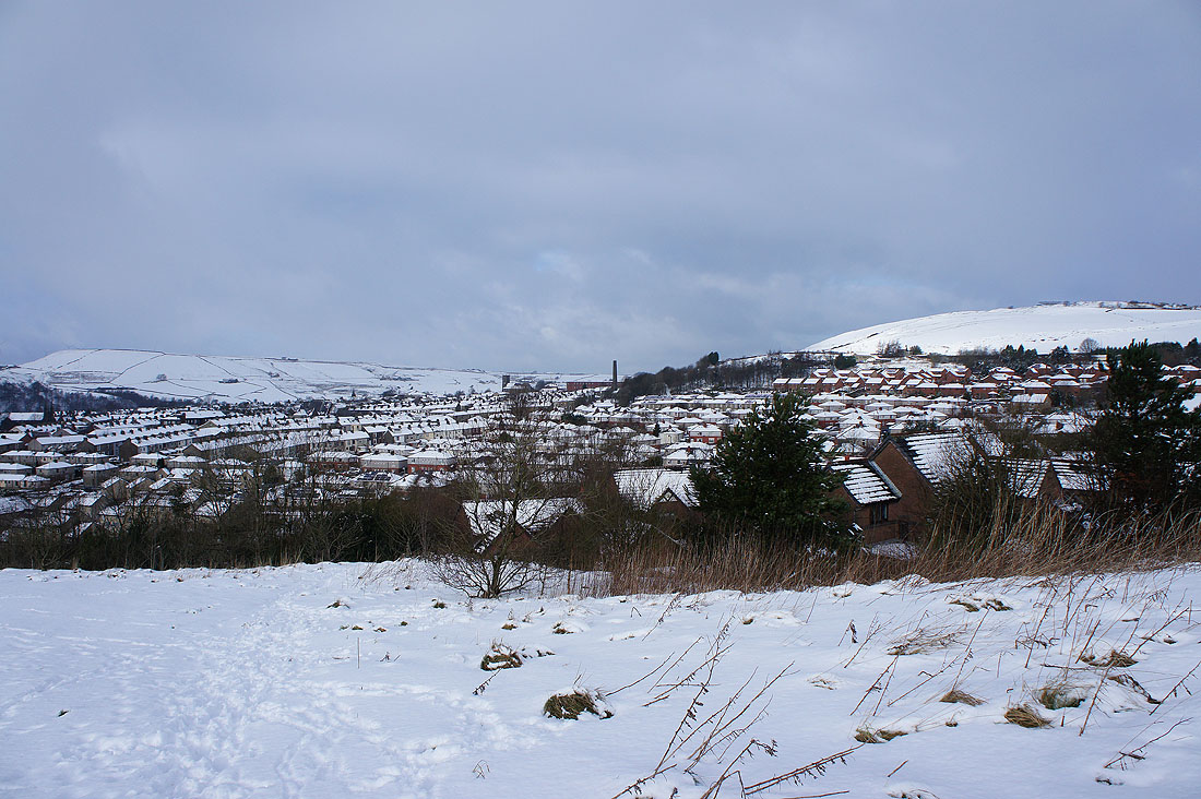
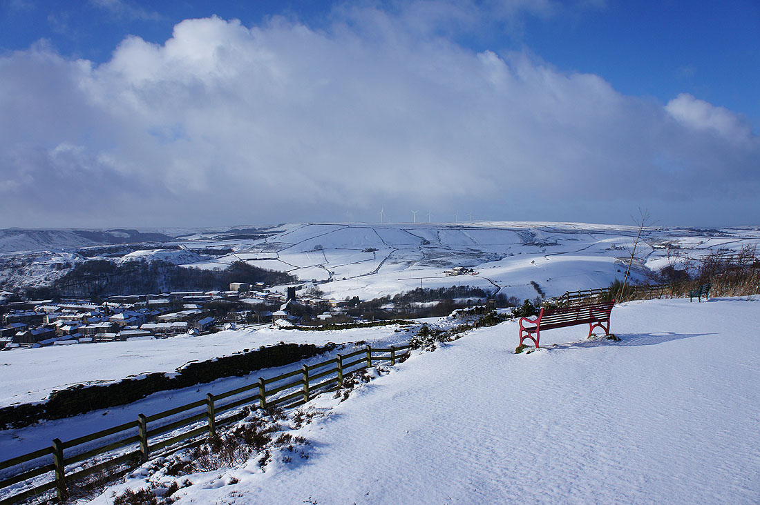
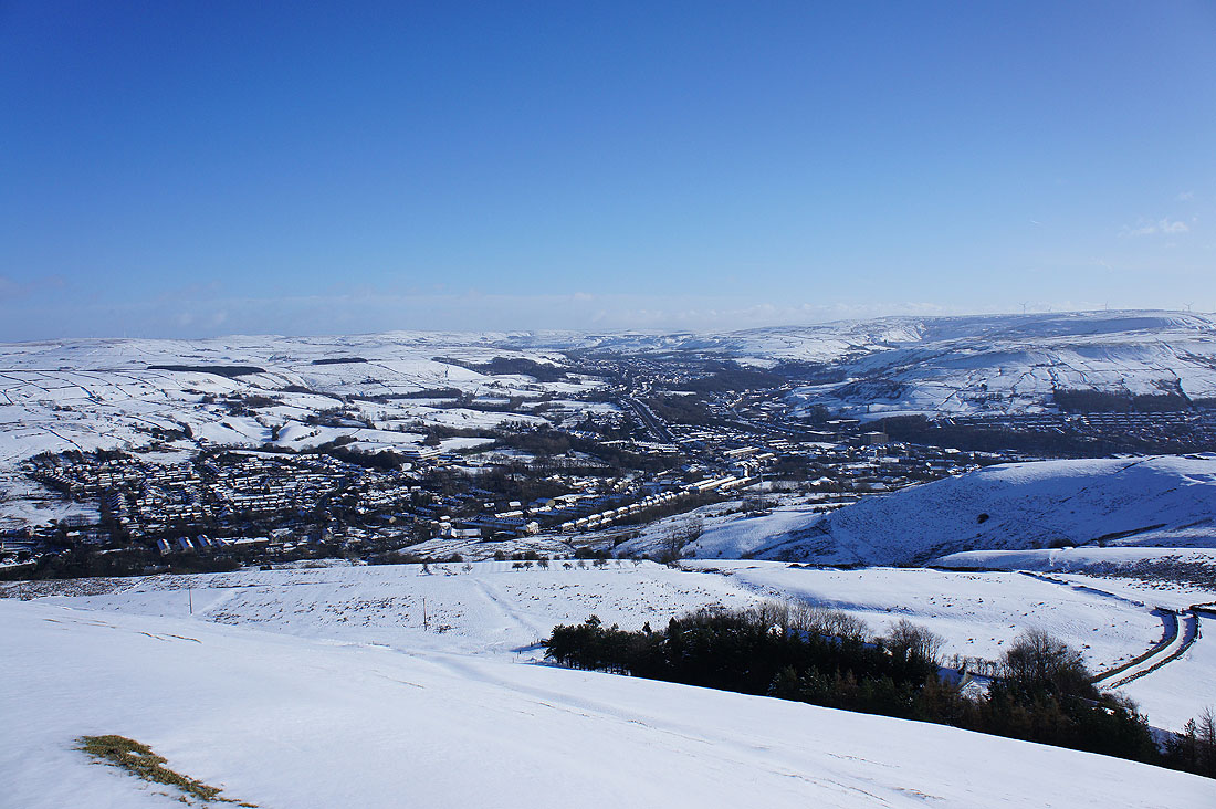
Looking across the snow covered roofs of Haslingden late this morning
Picture
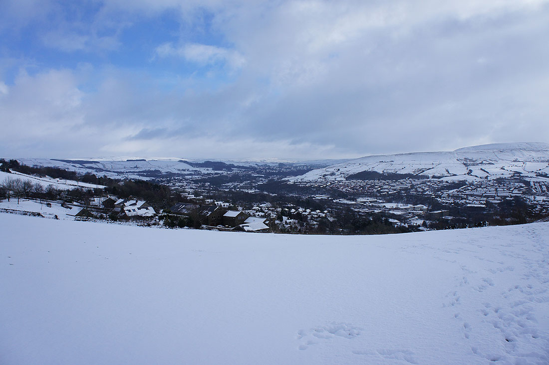
and up the valley to Rawtenstall
Picture
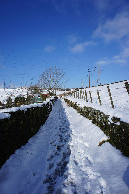
A snowy track will take me to Top o'Slate, the site of The Halo
Picture
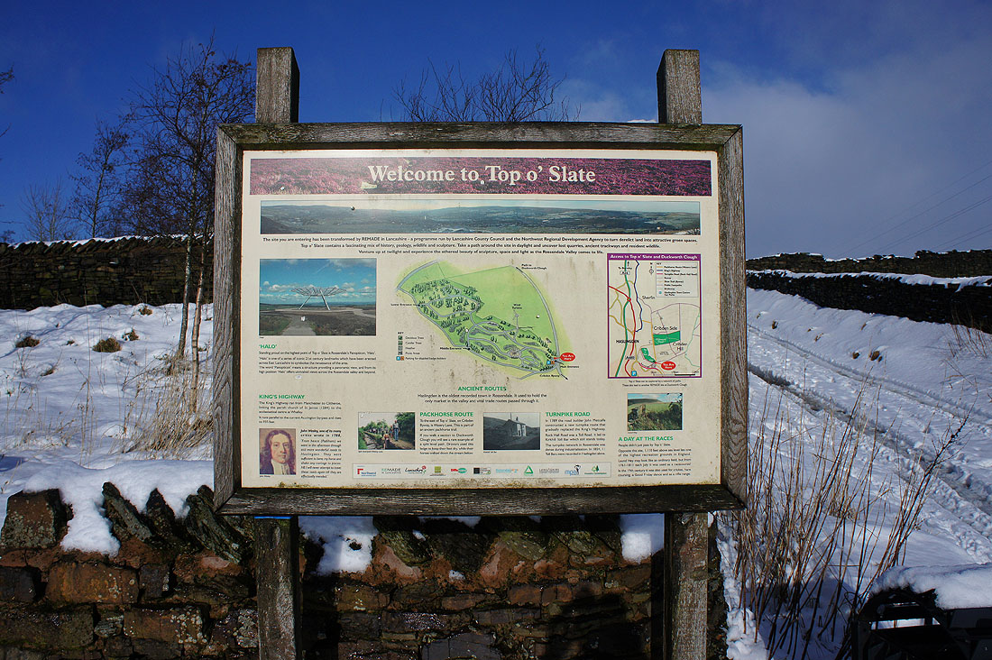
An information board provides some interesting history about the local area and the old packhorse routes and turnpike roads that ran past this way
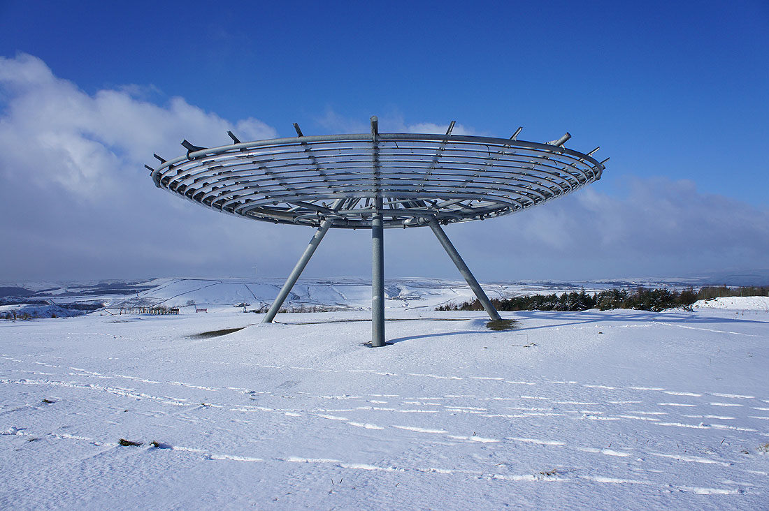
Picture
The Halo
Picture
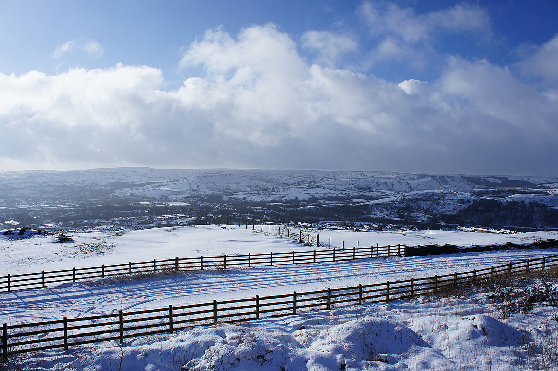
Views from The Halo. Looking across to the West Pennine Moors.
Picture
Scout Moor
Picture
Cribden Hill
Picture
Haslingden Moor
Picture
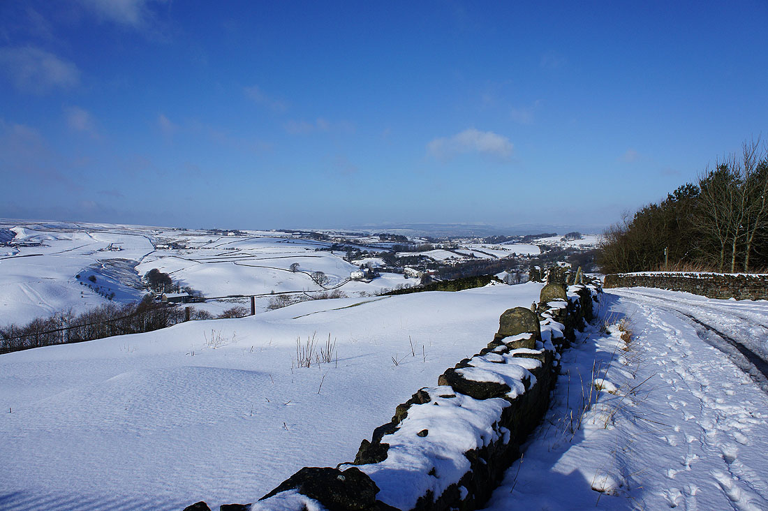
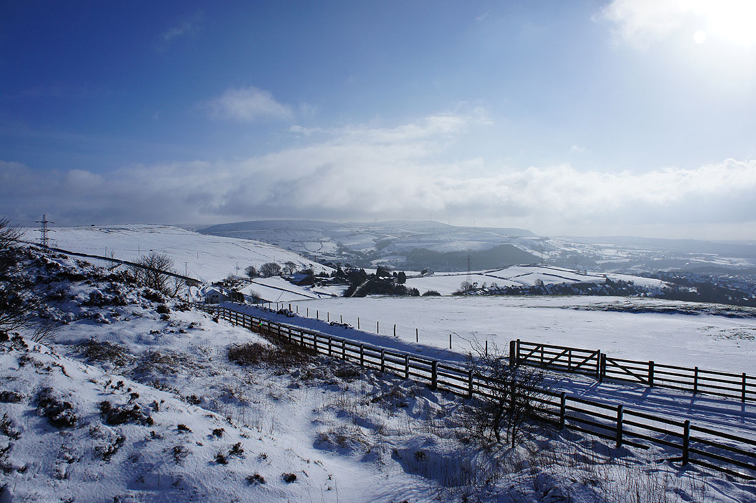
I went down to the lane below Top o'Slate so that I could get a clear view towards a distant Forest of Bowland
Picture
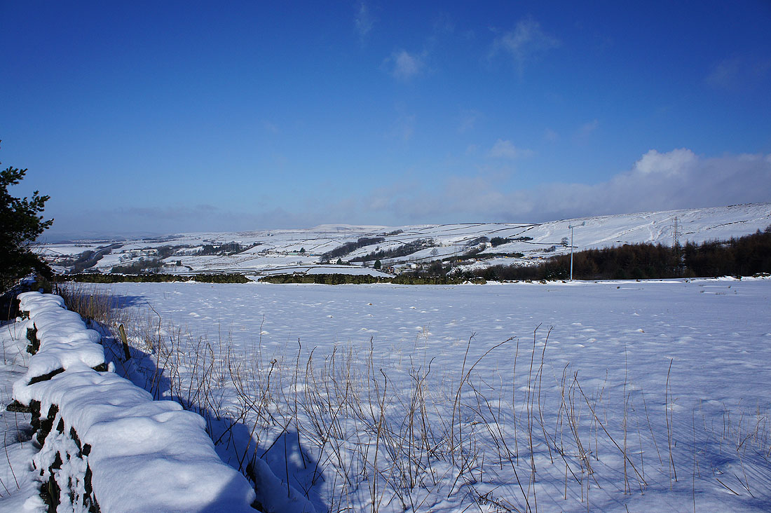
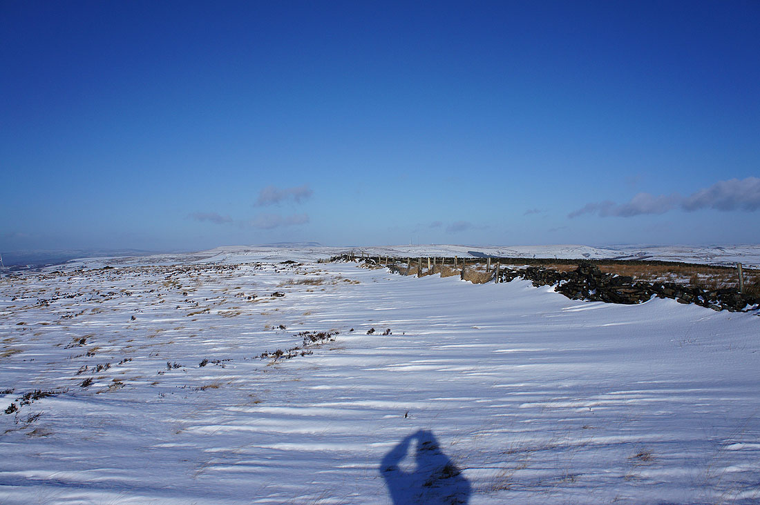
The snowy slopes of Hameldon Hill
Picture
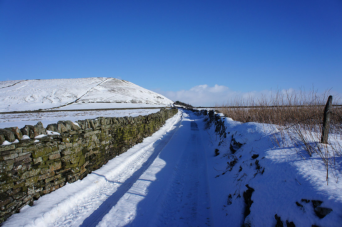
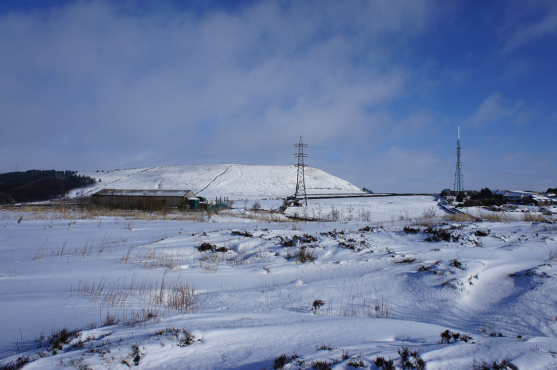
On the track past the TV mast to reach Cribden Hill
Picture
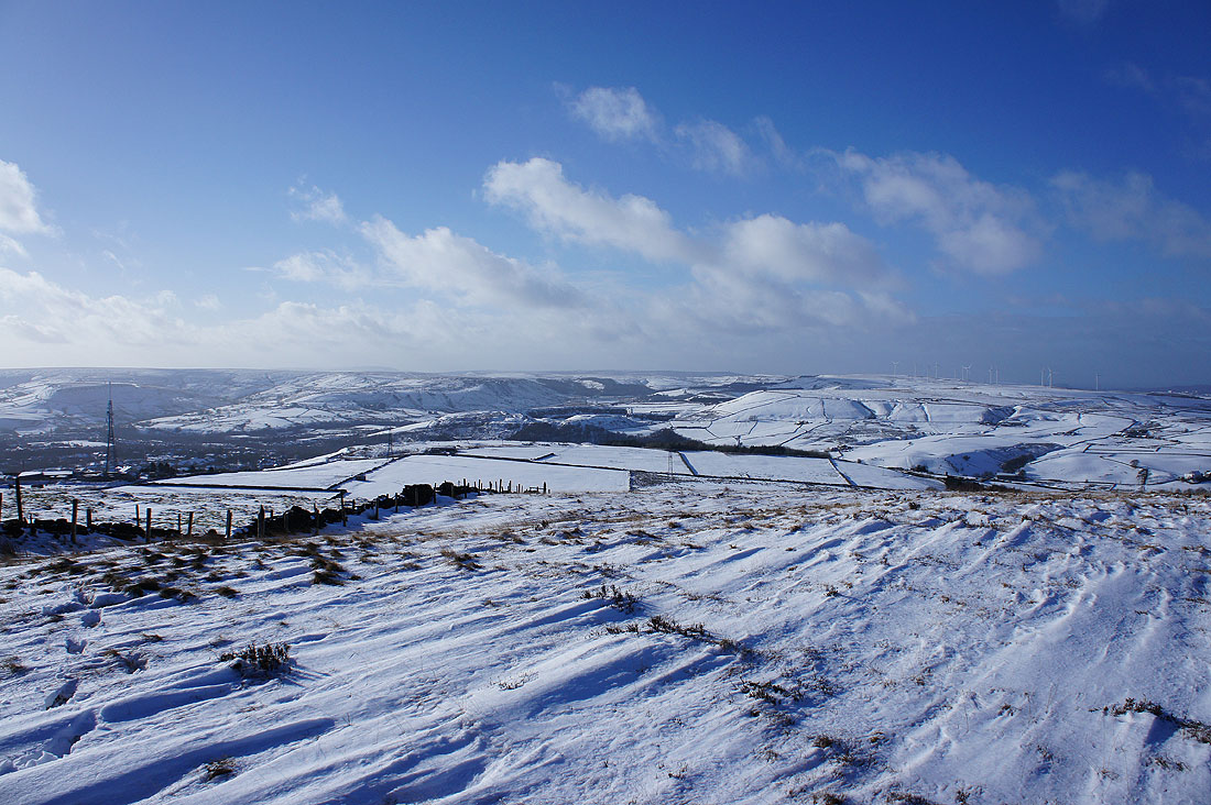
The view from the top of Cribden Hill. Ahead, looking up the Rossendale valley and the road that goes to Bacup and across the moors to Todmorden. To the left, the road that goes Burnley. ​
Picture
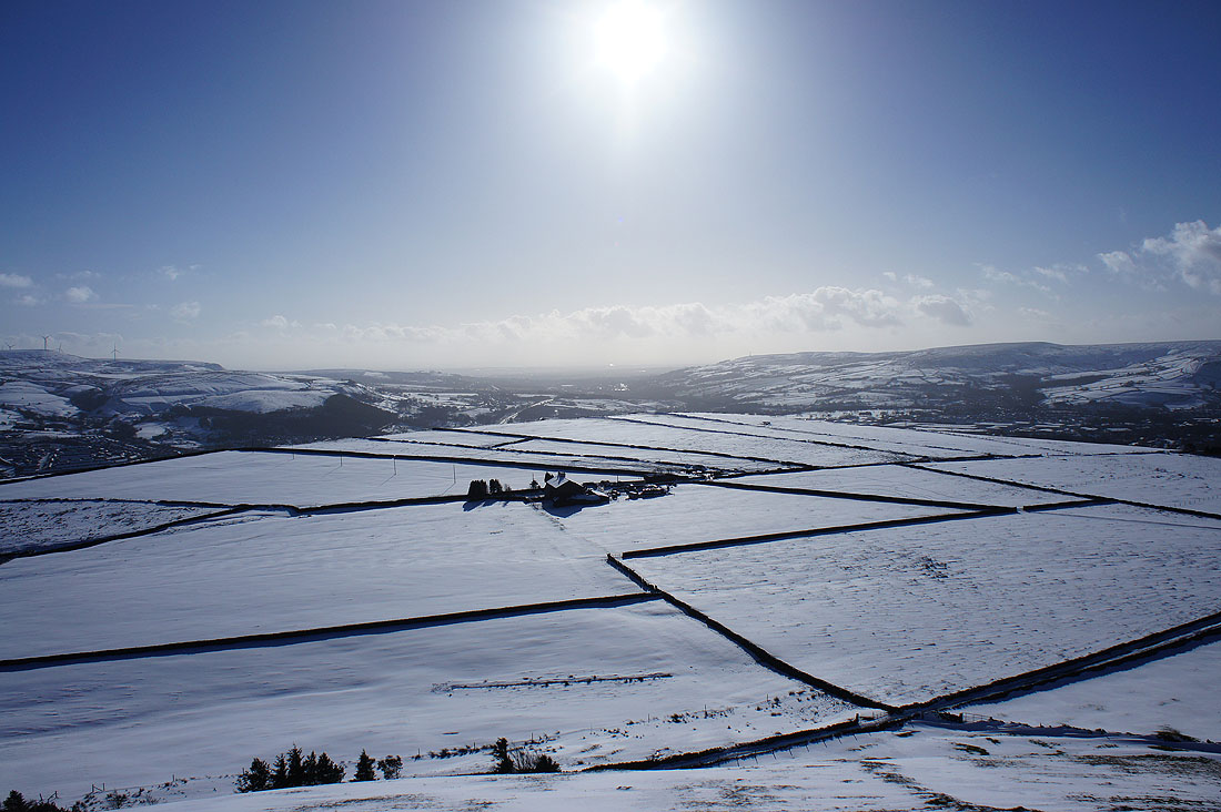
The fields of Cribden Flats below. Looking down the valley towards Manchester with Holcombe Moor on the right.
Picture
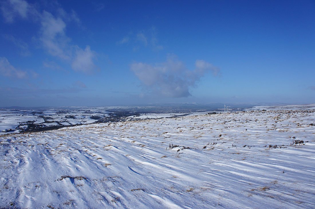
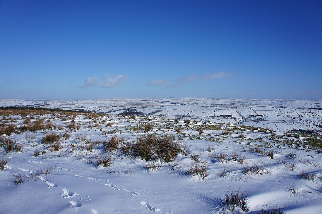
The moorland continues north to end with Hameldon Hill. Pendle Hill can be seen over its top.
Picture
Stood looking into the wind with the hazy outline of the Forest of Bowland in the distance
Picture
The West Pennine Moors
Picture
South Pennine moors to the northeast with the tops of Boulsworth Hill and Hoof Stones Height in the distance

Return to HOME
Return to South Pennines Walks
Return to Walking Diary 2015

© Alan Kilduff 2016-2022                                                                                                                                                                                                                                                                      
  • HOME
  • About this site
  • Walking Diaries
    • Walking Diary 2022
    • Walking Diary 2021
    • Walking Diary 2020
    • Walking Diary 2019
    • Walking Diary 2018
    • Walking Diary 2017
    • Walking Diary 2016
    • Walking Diary 2015
    • Walking Diary 2014
    • Walking Diary 2013
    • Walking Diary 2012
    • Walking Diary 2011
    • Walking Diary 2010
    • Walking Diary 2009
    • Walking Diary 2008
  • Lake District Walks
  • Peak District Walks
  • Yorkshire Dales Walks
  • Forest of Bowland, Pendle & West Pennine Moors Walks
  • South Pennines Walks
  • Walks in other areas
  • Links Page