30th January 2016 - Tegg's Nose & Kerridge Hill
Walk Details
Distance walked: 8.2 miles
Total ascent: 1751 ft
OS map used: OL24 - The Peak District, White Peak area
Time taken: 6 hrs
Route description: Tegg's Nose Country Park-Gritstone Trail-Tegg's Nose-Teggsnose Reservoir-Walker Barn-A537-Gunshaw Hollow-Hordern Farm-Gritstone Trail-Tower Hill-White Nancy-Saddle of Kerridge-Kerridge Hill-Kerridge end-Bull Hill Lane-A537-Gritstone Trail-Tegg's Nose Country Park
The forecast for today saw me head south to the Peak District once again, although this time I had to take the strength of the wind into account and keep my planned route to a relatively low level. I worked this one out a couple of months ago and had been saving it for a day like today. Most of it was in new territory, though I have been to Tegg's Nose Country Park before when I paid Shutlingsloe a visit for the first time back in October 2011. I quite enjoyed it. There are good views from this western edge of the Peak District and with some nice sunny spells and good visibility I got to appreciate them. Despite some threatening clouds towards the end I did stay dry, which was a good job with the strong and cold wind that was blowing.
From the car park at the Tegg's Nose Country Park I made my way out to the road and onto the Gritstone Trail to reach Tegg's Nose. I then made my way down to Teggsnose Reservoir and onto the bridleway that runs north by the reservoir up to Clough House, then onto the lane up to Five Ashes and Walker Barn. After crossing the Cat & Fiddle road I took the footpath that runs above Gunshaw Hollow to Hordern Farm, then uphill to pick up the Gritstone Trail to head north to the B5470 at Tower Hill. Once across the road and I'd found the footpath to it, I followed the bridleway that goes north on the eastern slopes of Kerridge Hill to reach its northern end and after a short climb I was by the White Nancy memorial. After taking in the views I made my way south across the Saddle of Kerridge to the trig point on Kerridge Hill, then onto the footpath down to the bridleway that reaches Lidgetts Lane and the B5470 at Kerridge-end. A path across a field took me to Bull Hill Lane which I followed south to the Cat & Fiddle road and after crossing that I was on the Gritstone Trail again back to Tegg's Nose Country Park.
Route map
© Crown copyright. All rights reserved. License number PU 100034184.
Shutlingsloe from the car park for Tegg's Nose Country Park. There's a strong cold wind blowing this morning.
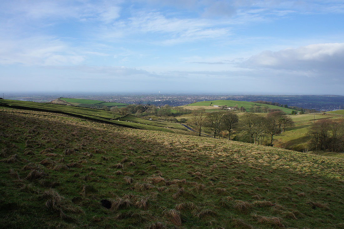
As I head for Tegg's Nose I can make out the Lovell Telescope at Jodrell Bank beyond Macclesfield
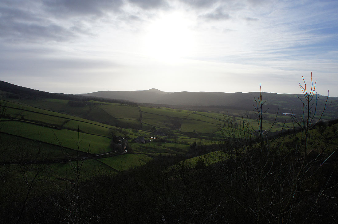
The valley to the east of Tegg's Nose and I'll soon be walking up that lane that's on the right of the photo
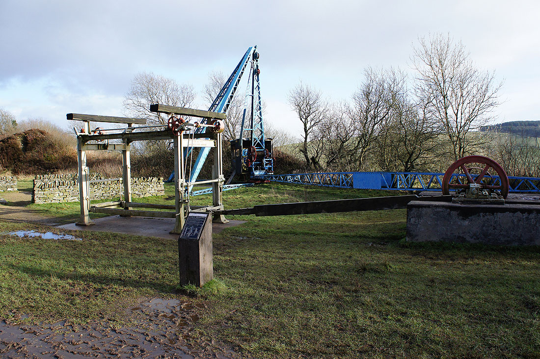
There used to be a quarry on Tegg's Nose and some of the machinery that was used is on display along with information boards to provide some explanation for what you're looking at.
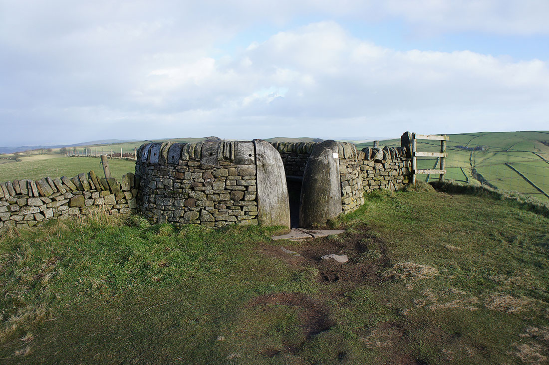
An interesting shelter on top of Tegg's Nose. The footpath goes through it, which could make things a little awkward if it's in use.
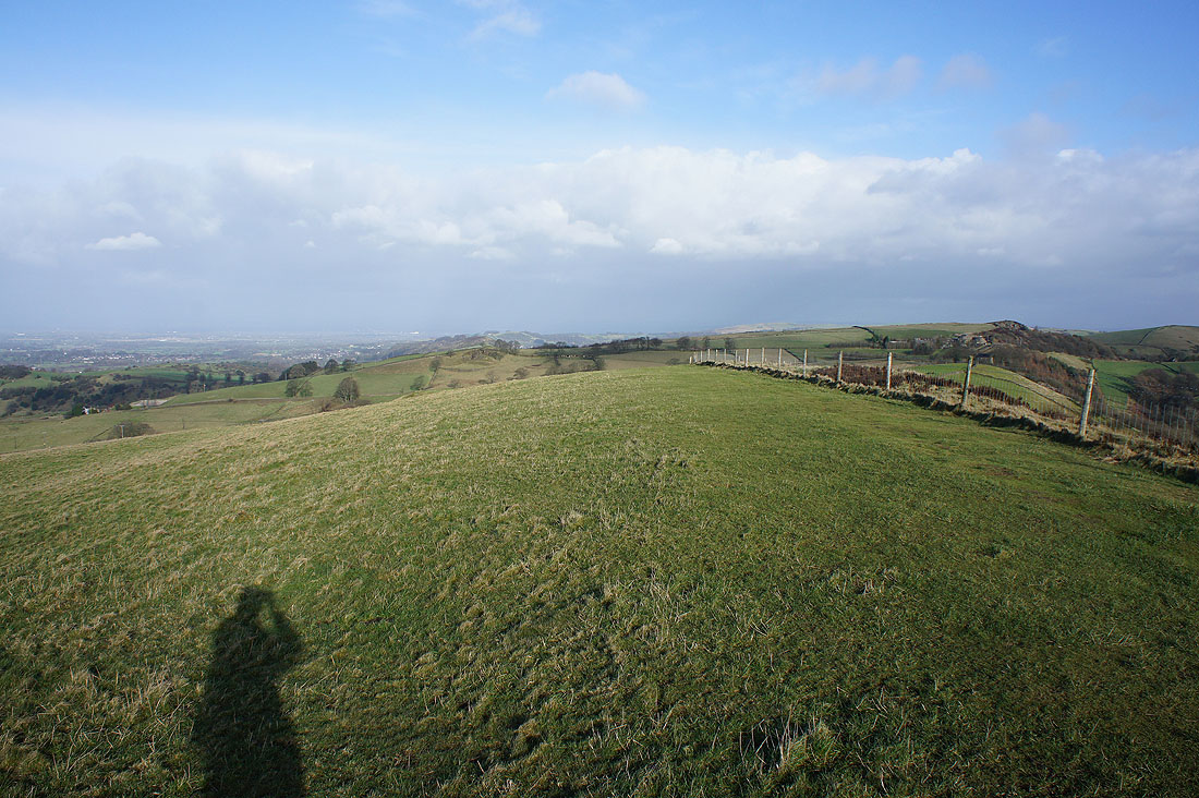
Looking north from Tegg's Nose towards Kerridge Hill
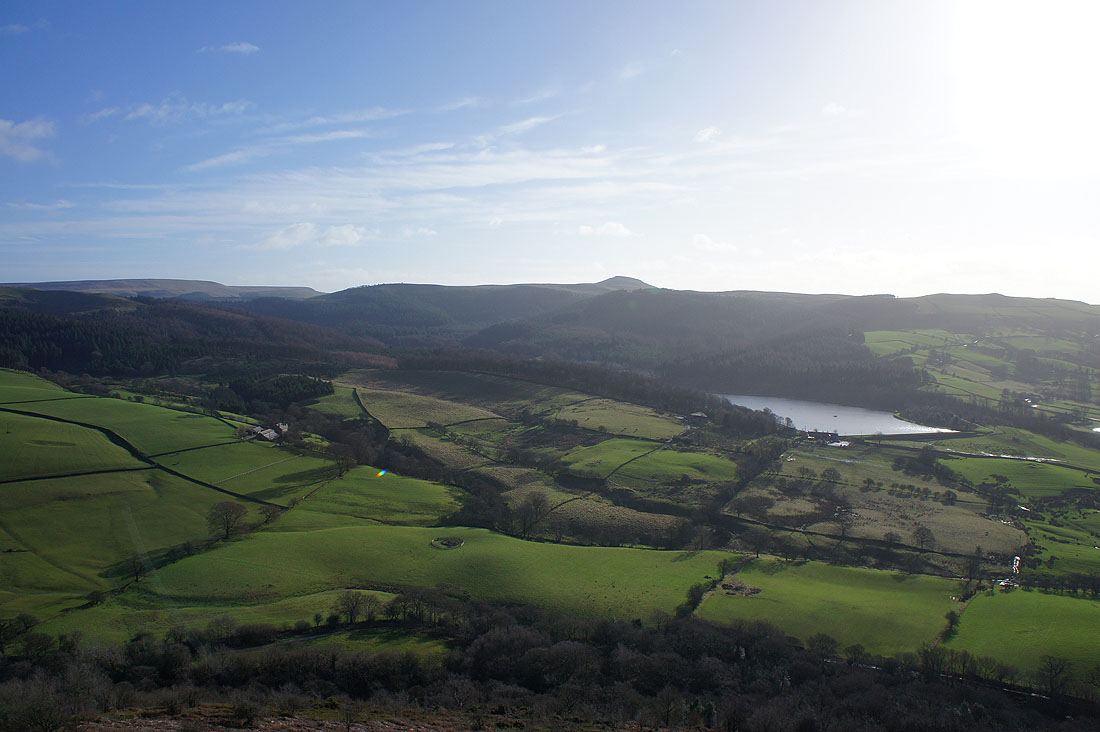
At the southern end of Tegg's Nose. Macclesfield Forest, Shutlingsloe and Ridgegate Reservoir.
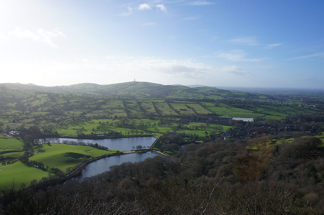
Teggsnose and Bottoms Reservoirs below with the radio mast on Croker Hill to the south
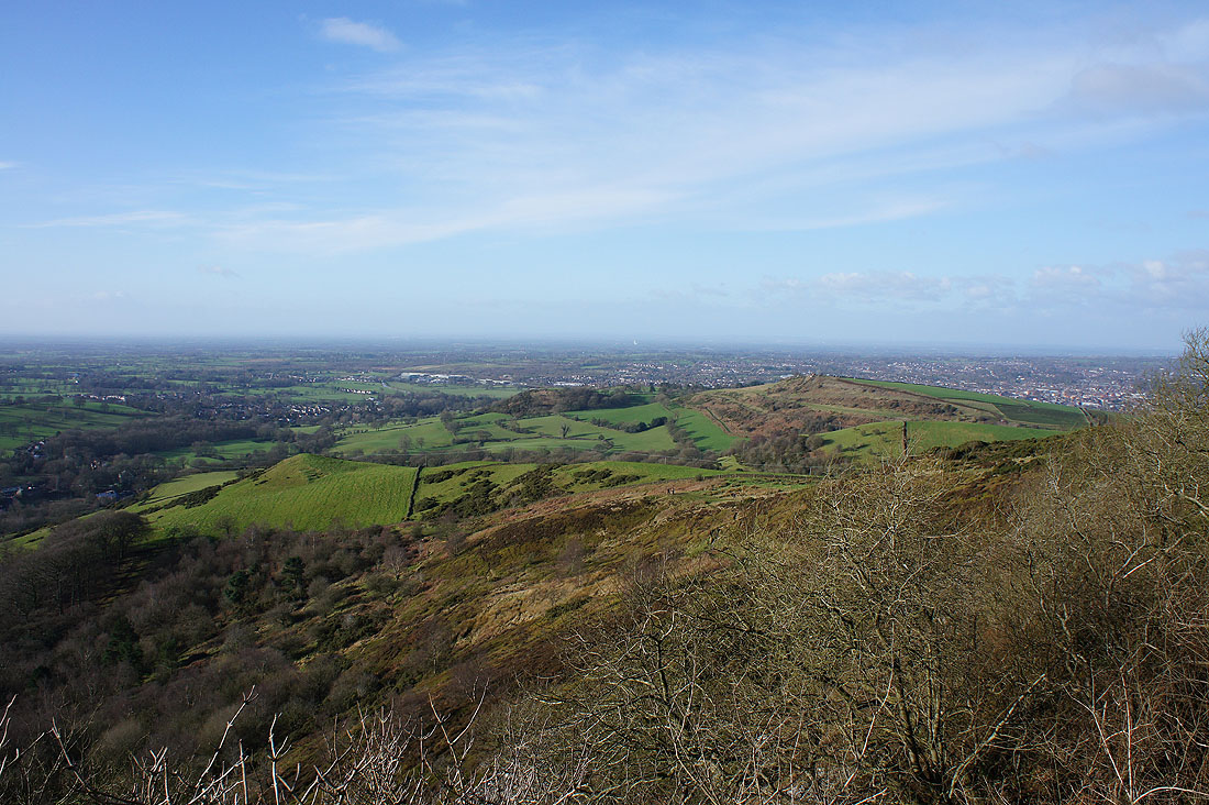
The Cheshire Plain out to the west beyond Macclesfield
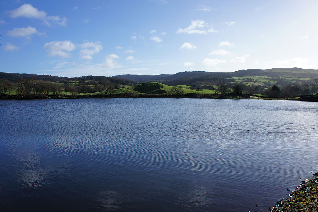
It's a lovely morning out of the wind by Teggsnose Reservoir
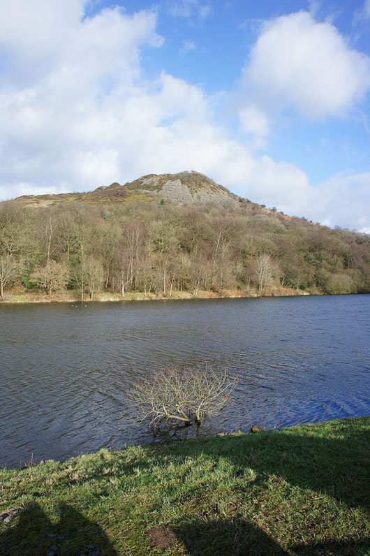
Tegg's Nose above
On the bridleway north towards Walker Barn
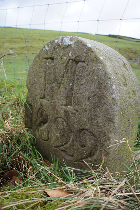
A boundary stone next to the lane. It's on the map.
About to cross the Cat & Fiddle road at Walker Barn
The sun comes out as I follow the footpath above Gunshaw Hollow
Making my way through Hordern Farm
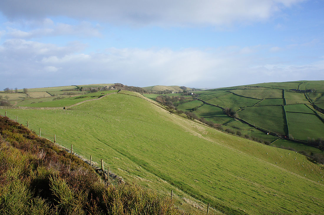
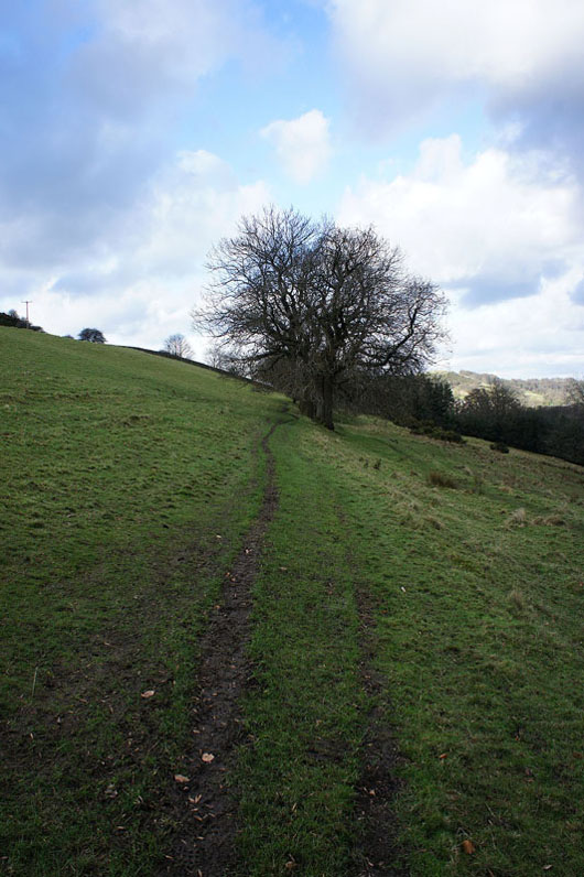
Kerridge Hill now in view to my left as I reach the top of path from Hordern Farm
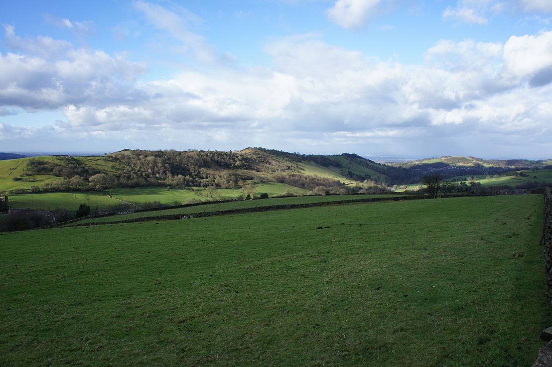
The sun lights up its slopes just a few minutes later
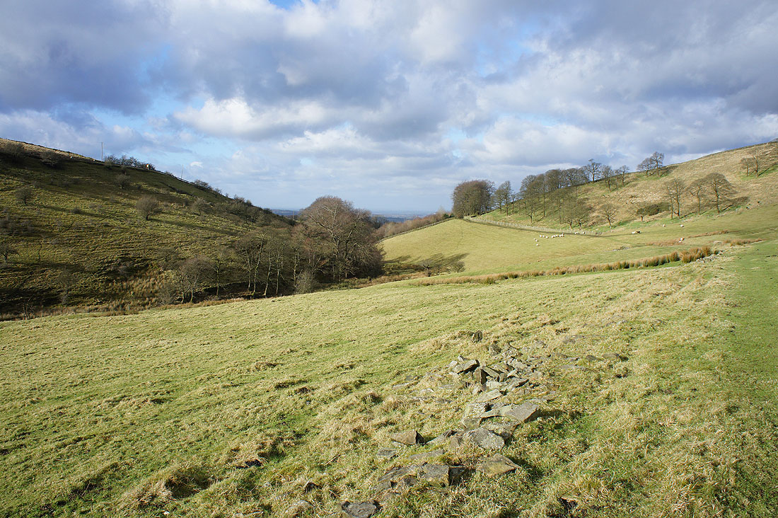
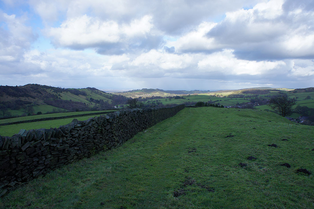
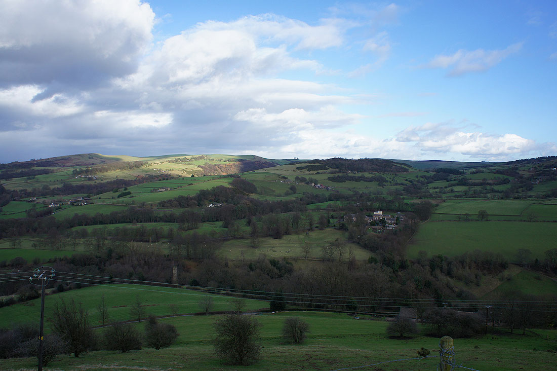
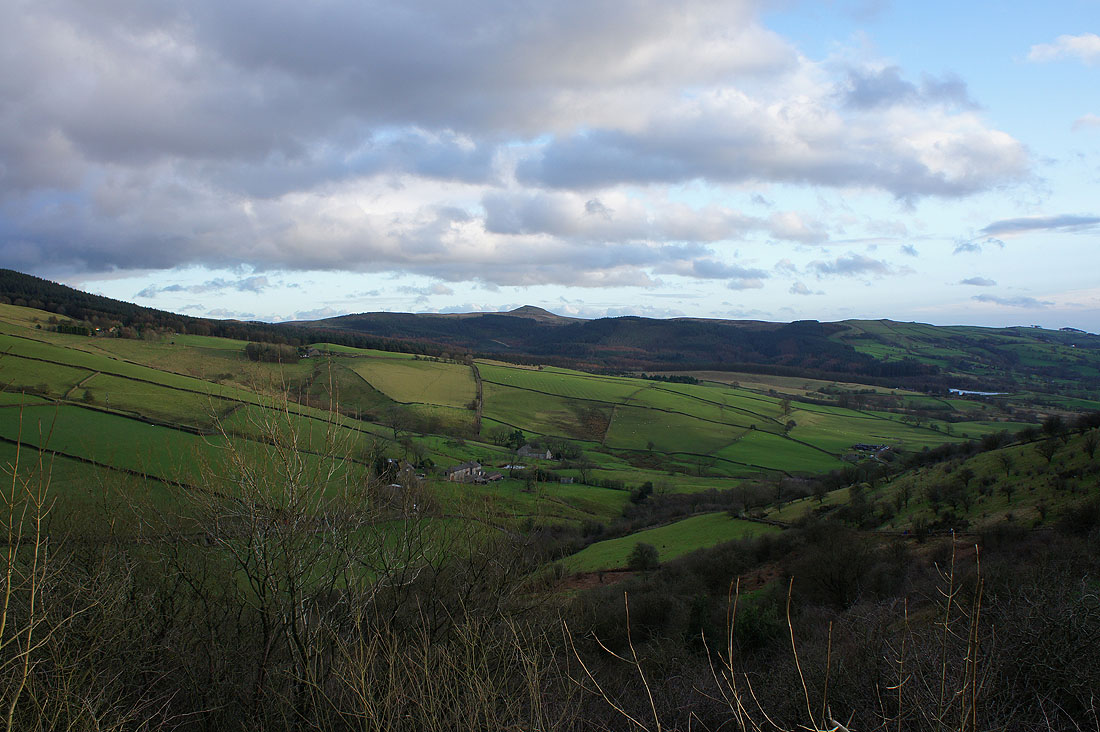
Yearns Low and the valley of the River Dean to the east
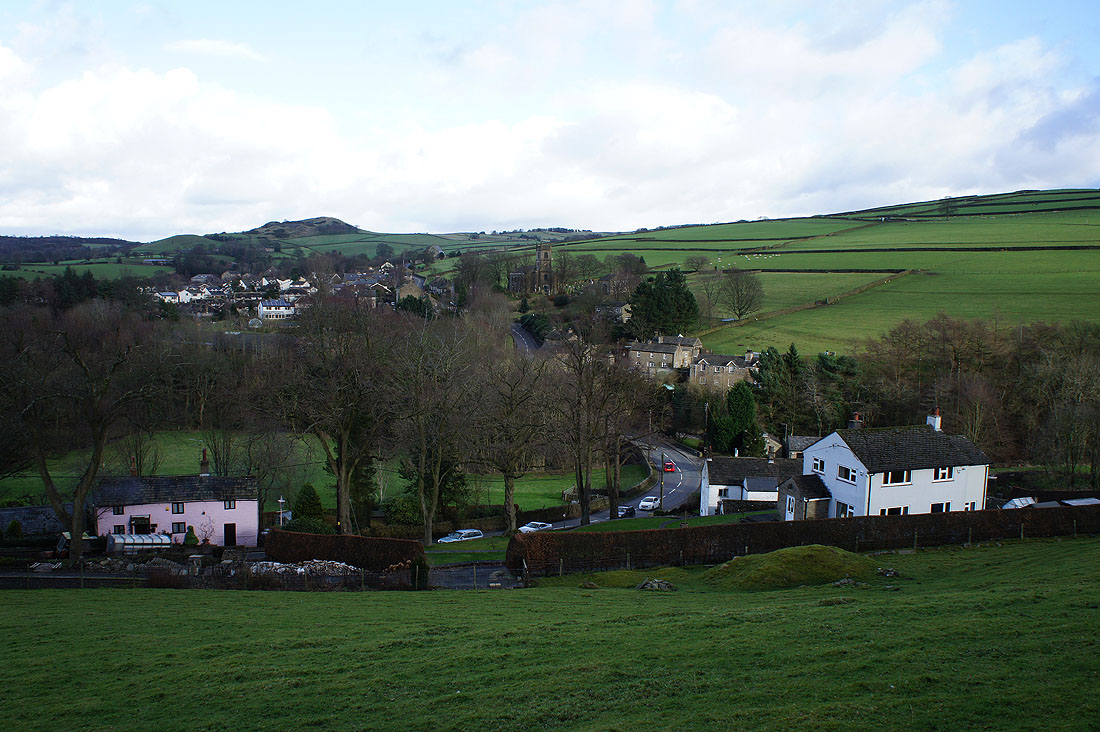
The village of Rainow as I head down to cross the B5470
|
|
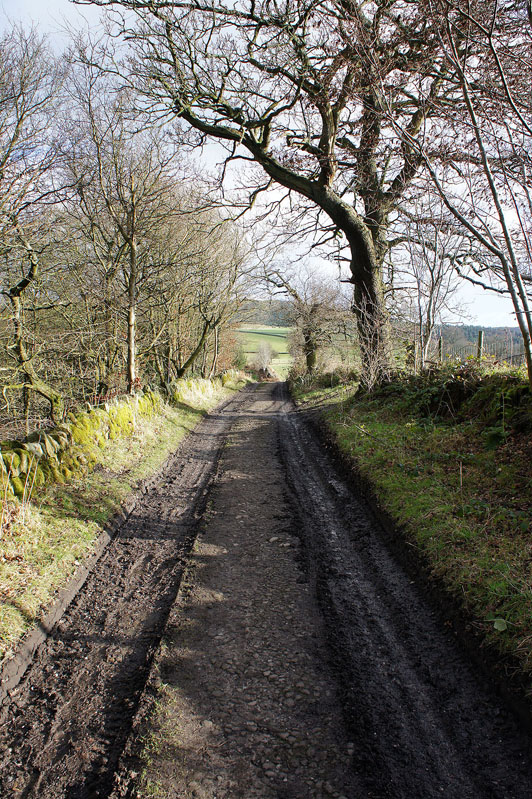
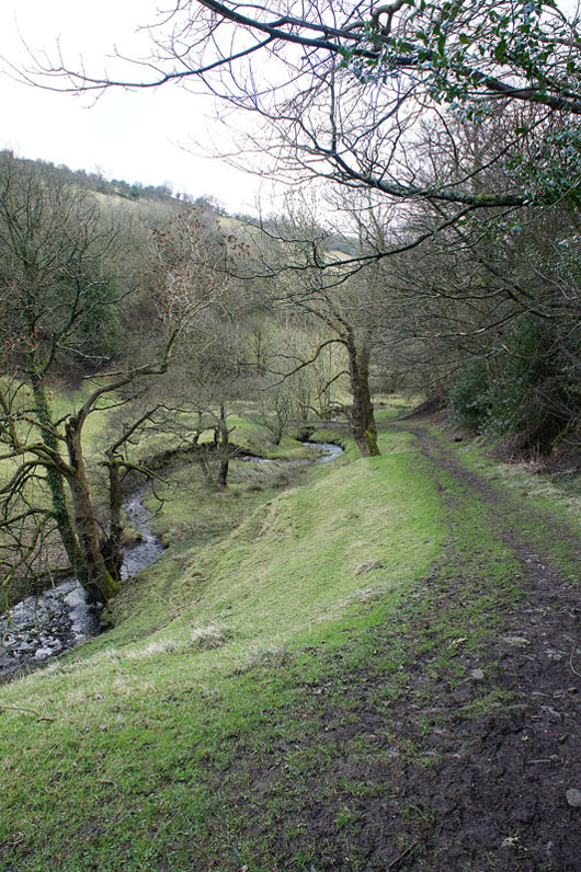
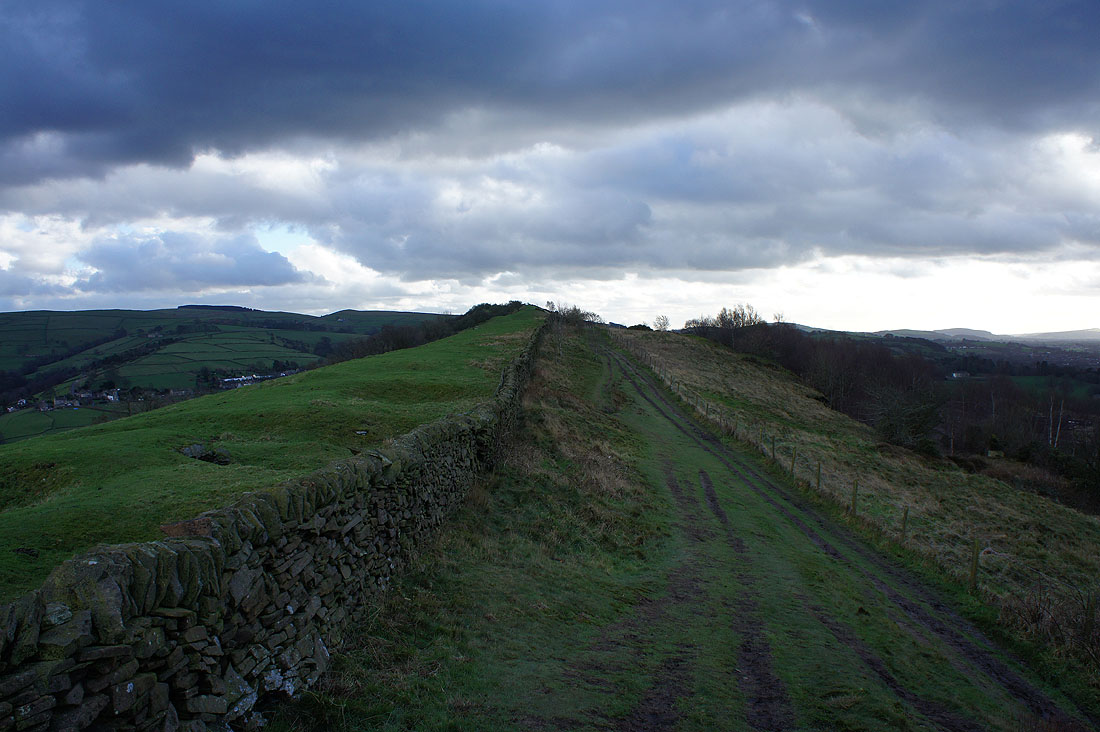
A muddy bridleway was then followed north below the eastern slopes of Kerridge Hill..
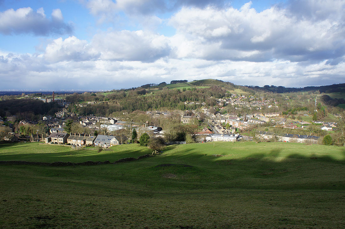
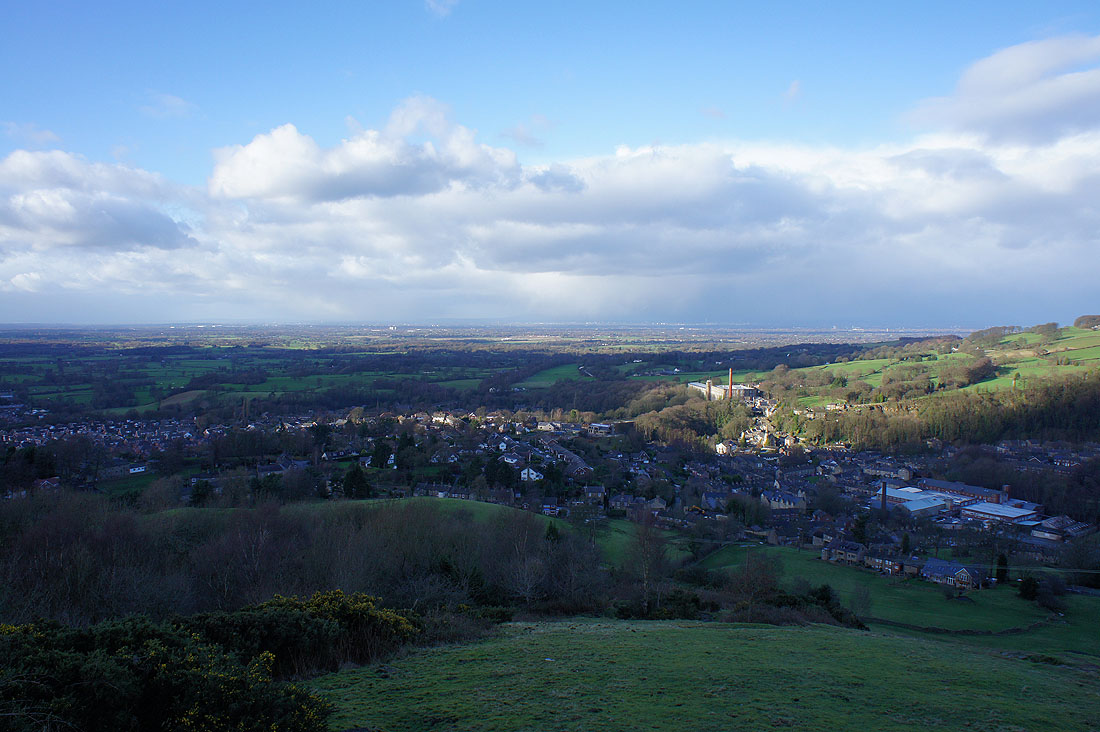
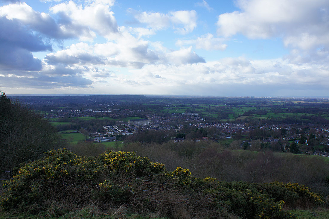
The sun is out over Bollington as I reach the northern end of Kerridge Hill
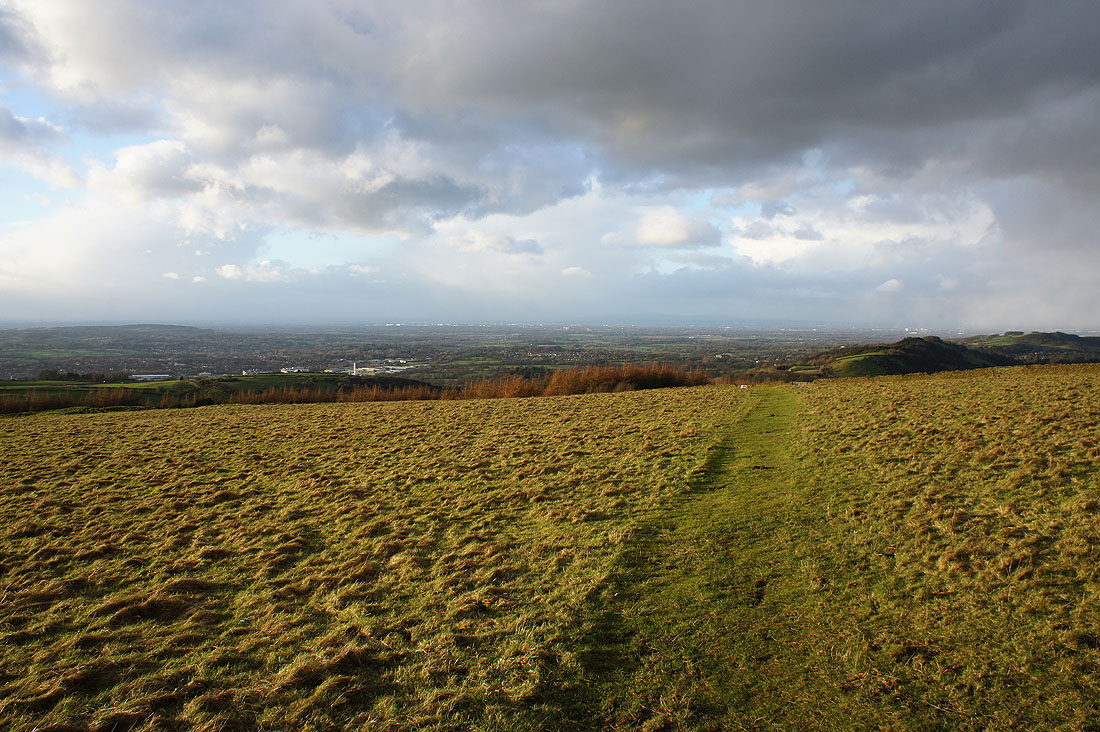
A view to the northwest towards Manchester as I climb Kerridge Hill and I'm not that surprised to see dark clouds and showers in the distance
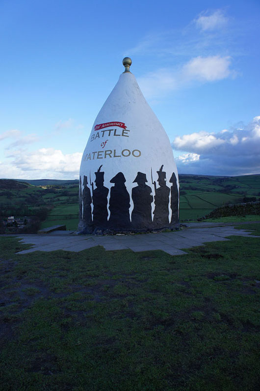
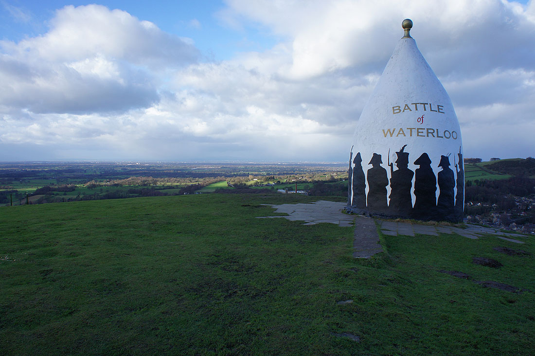
The White Nancy monument..
Brink Brow and Billinge Hill to the east
Looking west to Alderley Edge
Time to head south along the Saddle Of Kerridge..
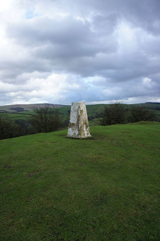
..to reach the trig point on Kerridge Hill
I don't like the look of that lot!
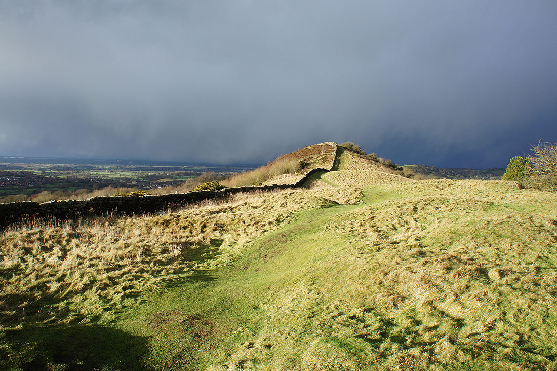
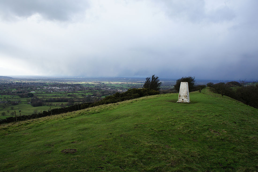
Fortunately it passed by just to the north and I was treated to this dramatic view of bright sunshine and dark clouds
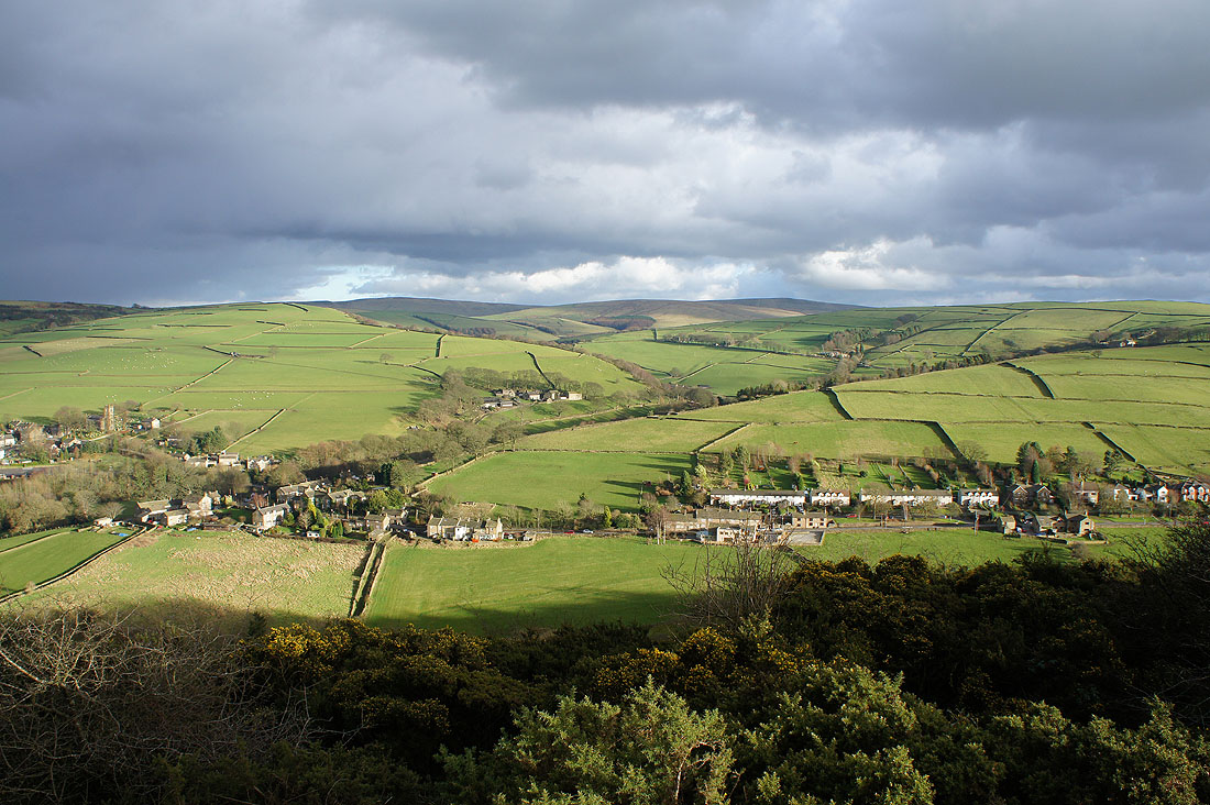
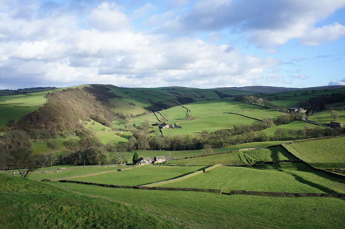
Rainow below to the east and the high moors in the distance are the Cats Tor to Shining Tor ridge
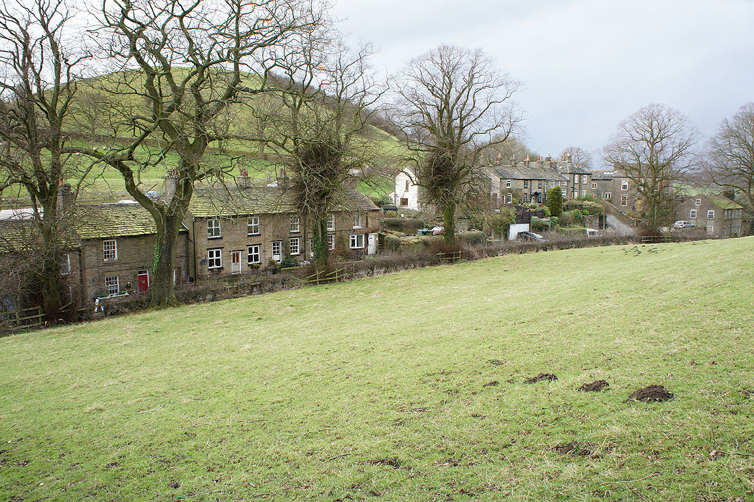
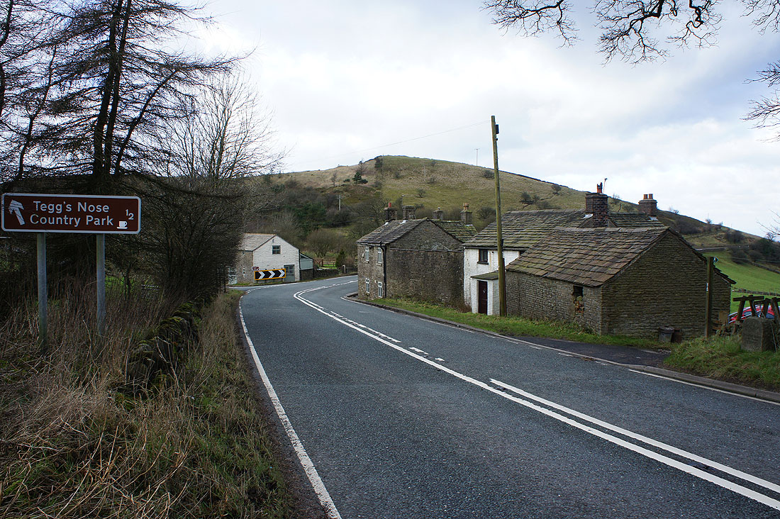
Kerridge-end after crossing the B5470
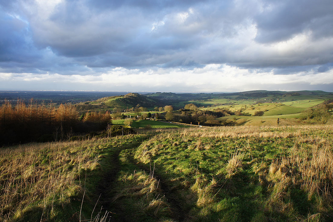
As I join the Gritstone Trail back to Tegg's Nose, there's a great view as I look back to Kerridge Hill after crossing the Cat & Fiddle road
Gaining height I can now just about make out the West Pennine Moors in the far distance to the northwest on the other side of Manchester
A last shot of Shutlingsloe as I make it back to the car park