30th July 2011 - Penyghent and Fountains Fell
Walk Details
Distance walked: 12.4 miles
Total ascent: 2485 ft
OS map used: OL2 - Yorkshire Dales, Southern & Western areas
Time taken: 7.5 hrs
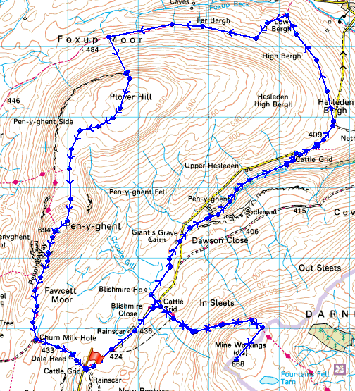
Route description: Dale Head, Silverdale-Silverdale Road-Fountains Fell-Silverdale Road-Blishmire House-Penyghent House-Penyghent Gill-Silverdale Road-Hesleden Bergh-Low Bergh-Foxup Moor-Plover Hill-Penyghent-Dale Head, Silverdale
I parked at Dale Head in Silverdale and made a there and back ascent of Fountains Fell. I then followed the road NE for a while before using a path above Penyghent Gill which rejoins the road after a mile or so. I then followed the road to Halton Gill for a short while before joining the bridleway that runs across Foxup Moor and round the back of Plover Hill. I then climbed up Plover Hill and made my way across to Penyghent. I then climbed down Penyghent and used the Pennine Way to get back to Dale Head.
Route map
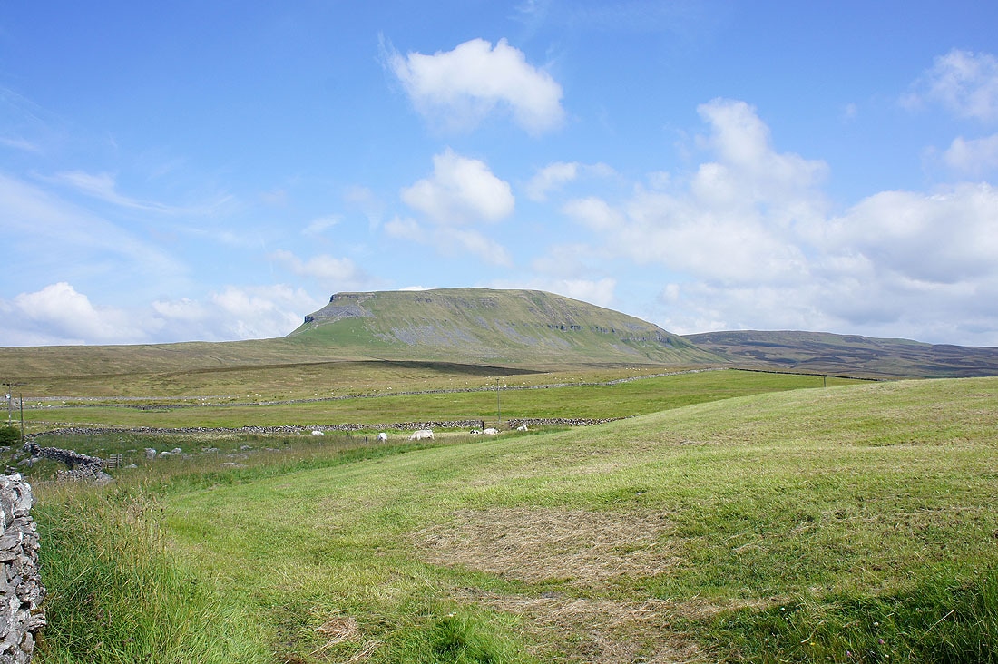
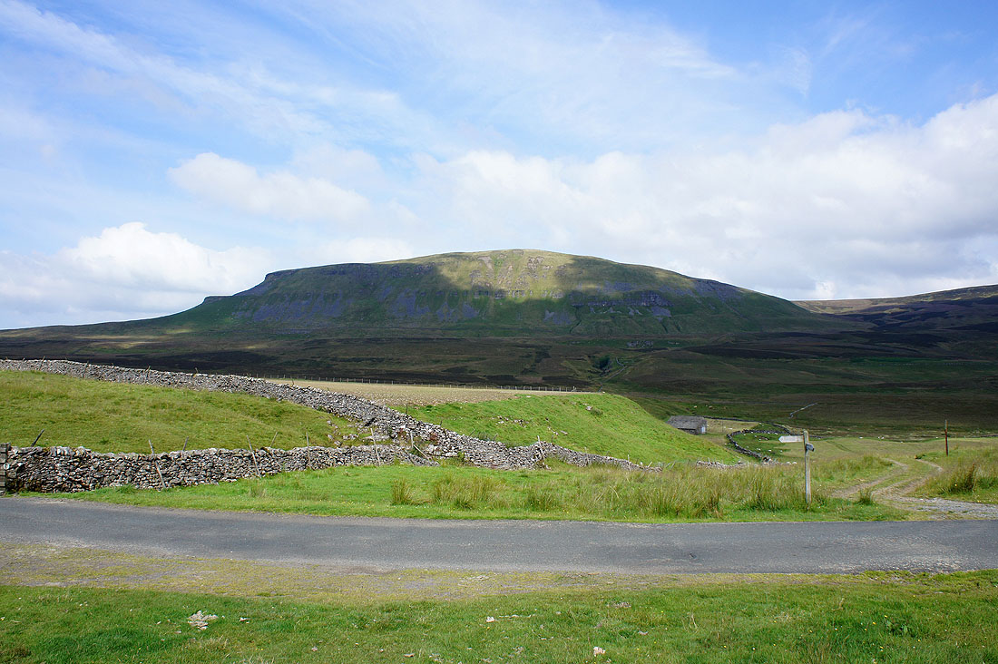
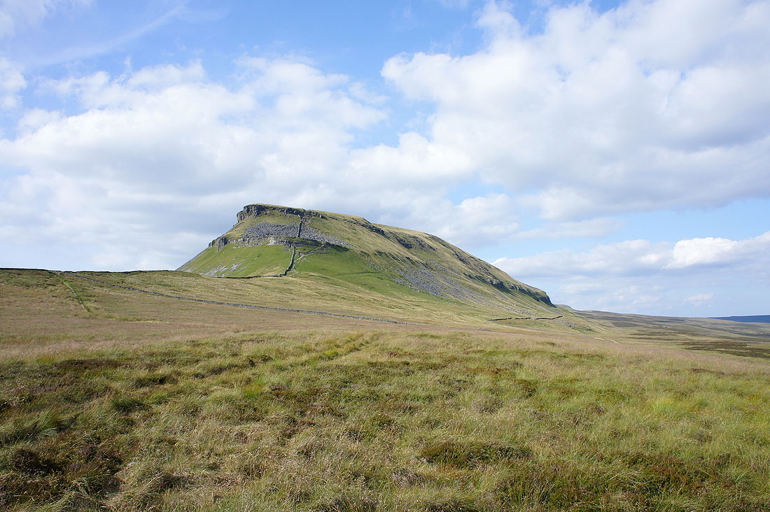
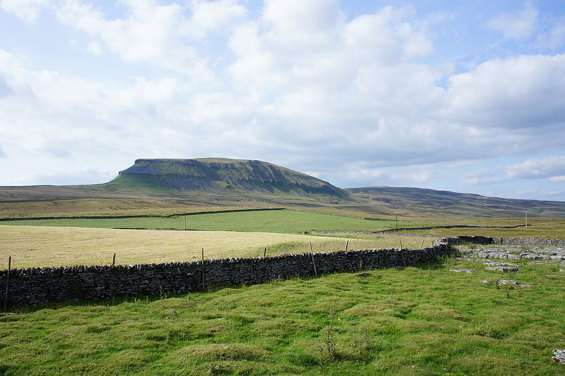
Penyghent from the roadside at Dale Head
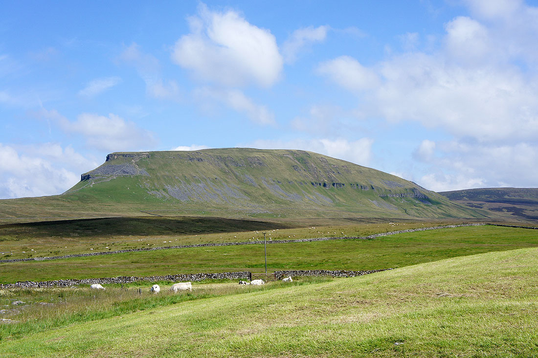
Zooming in
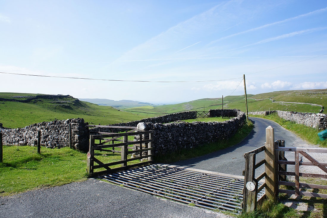
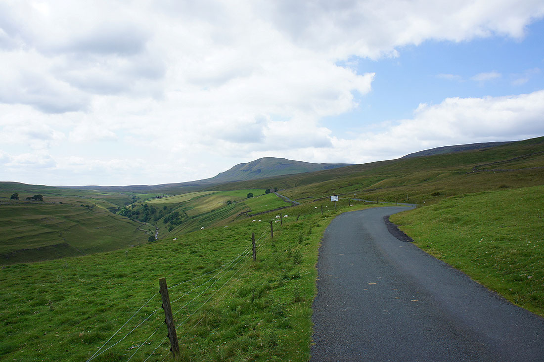
The Silverdale road
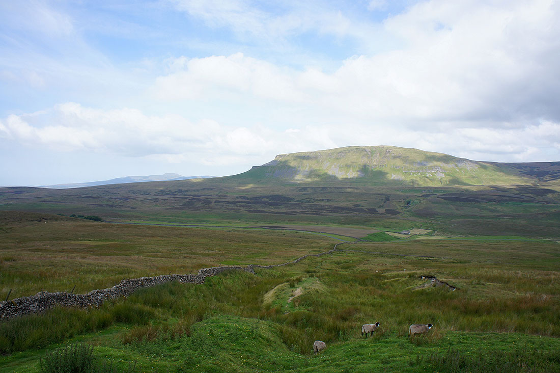
Penyghent from the start of the climb up Fountains Fell
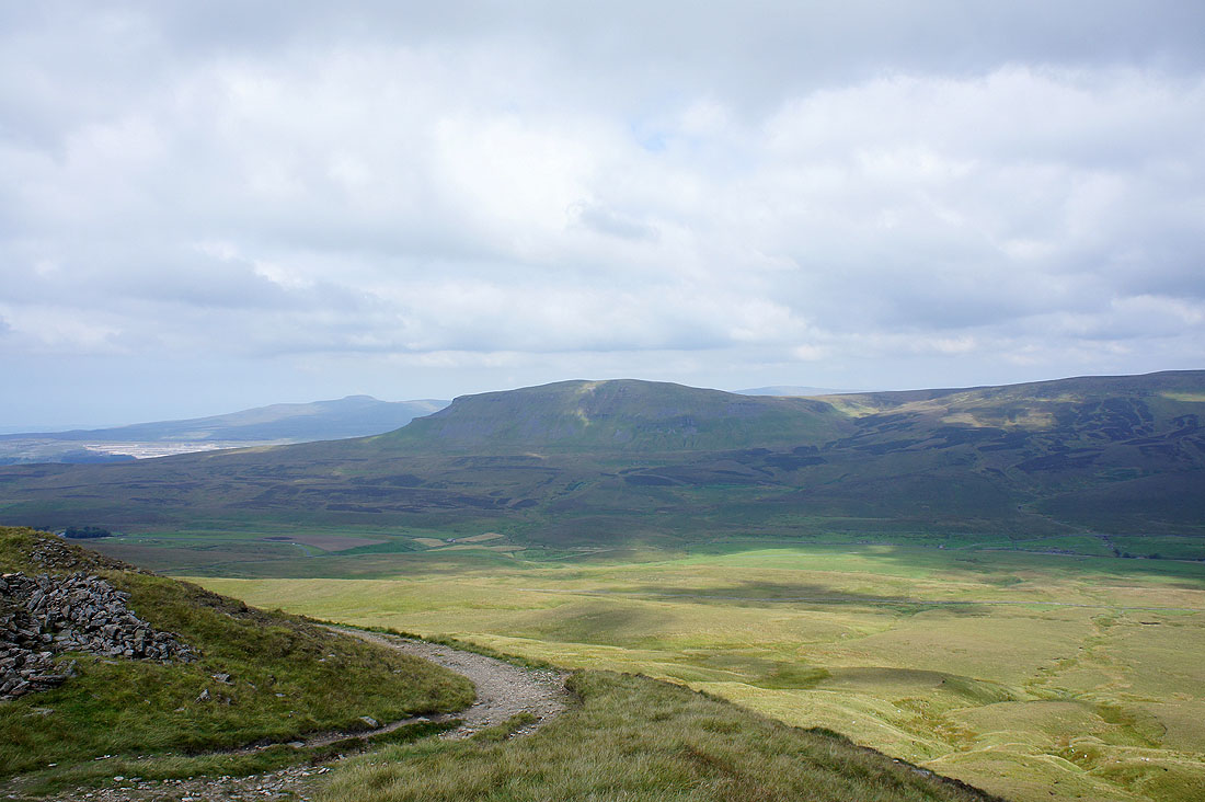
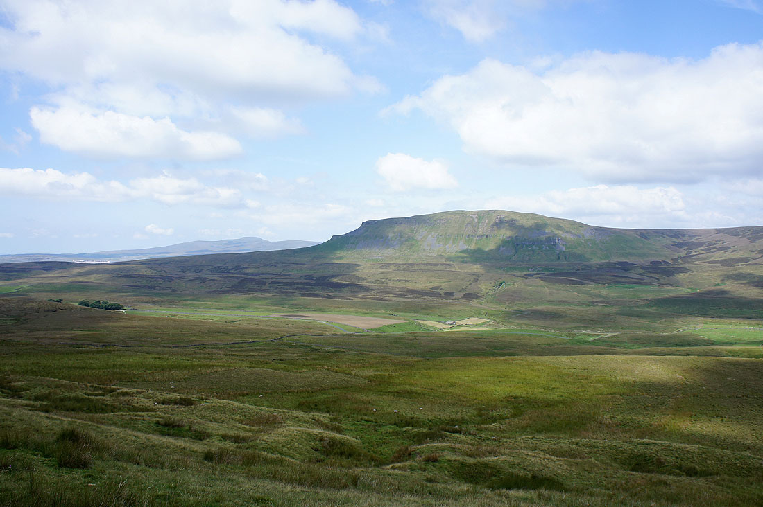
Views to Ingleborough and Penyghent as I climb Fountains Fell..
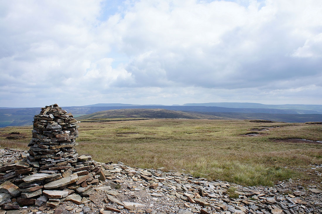
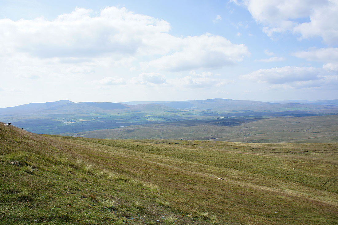
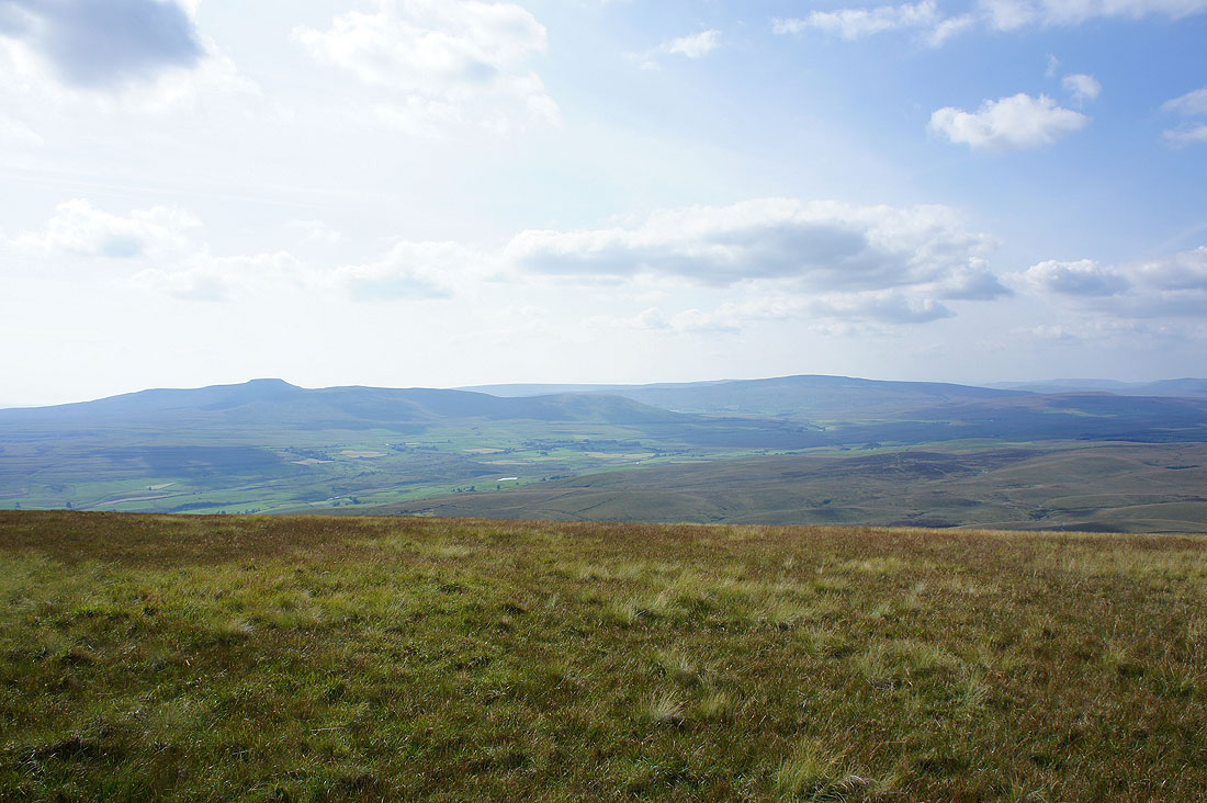
Ingleborough and Penyghent from the summit of Fountains Fell
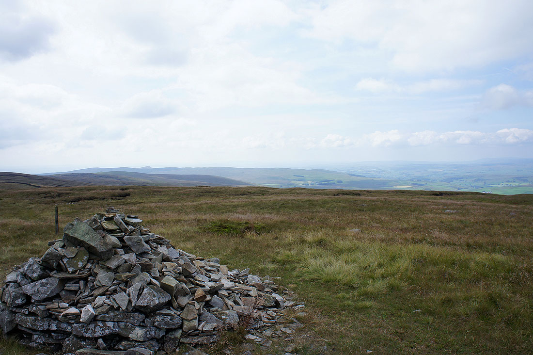
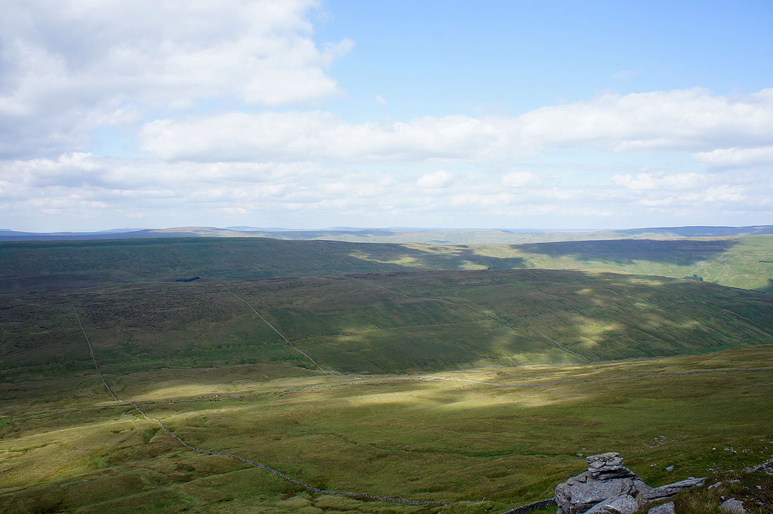
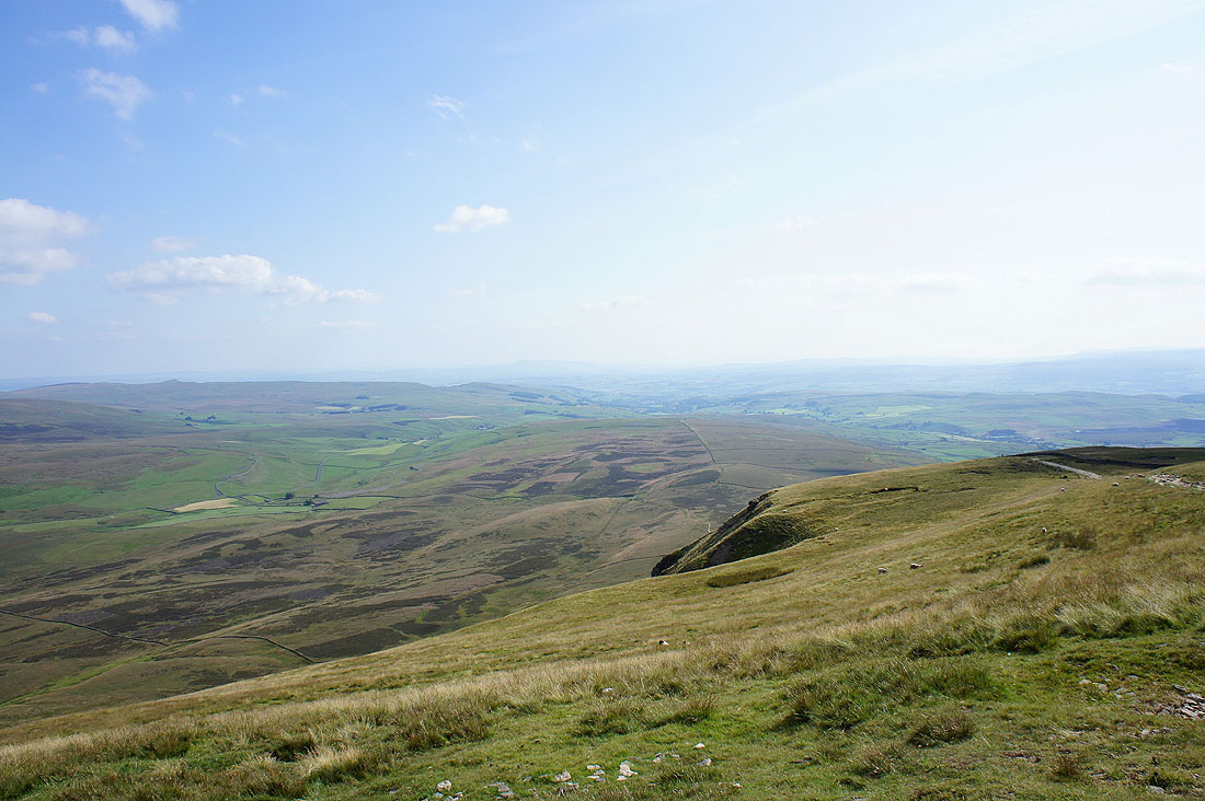
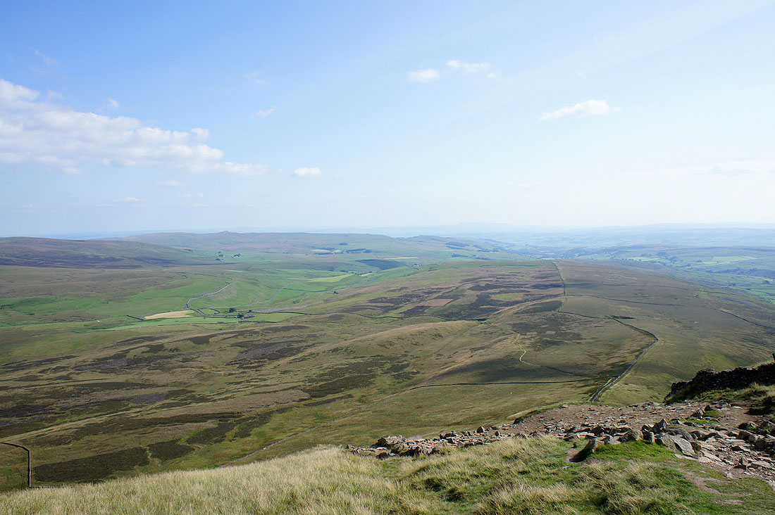
Hazy views to the south..
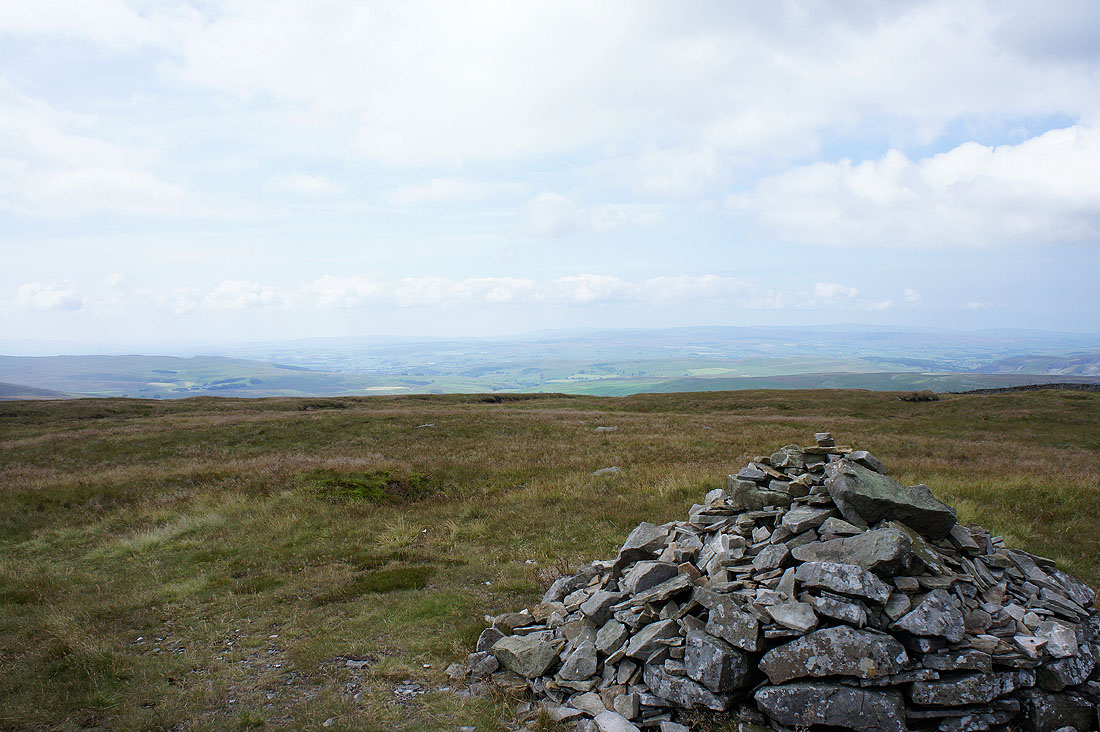
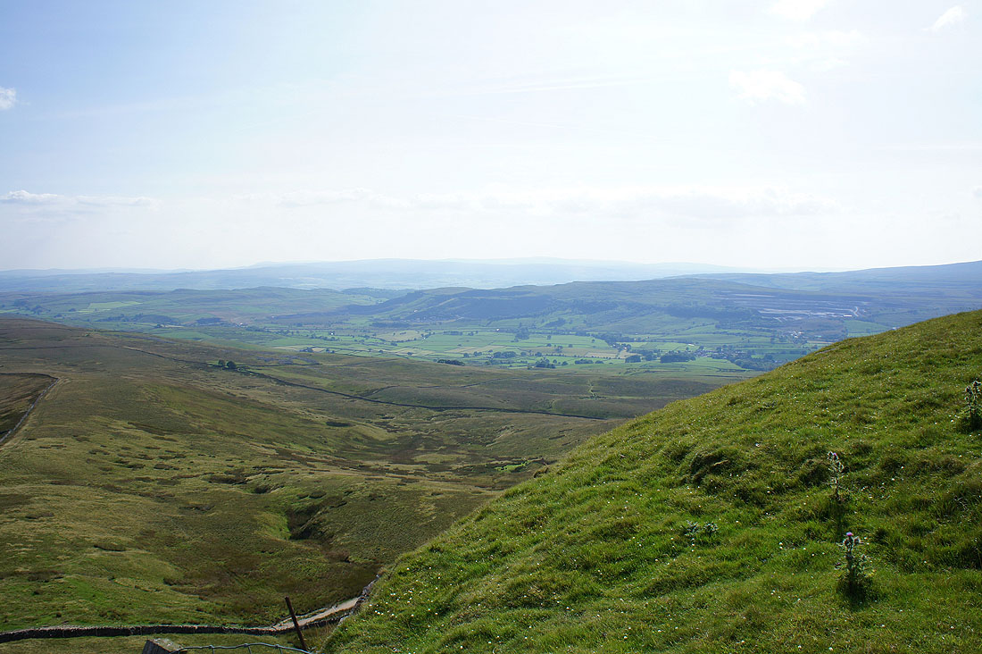
..and southwest
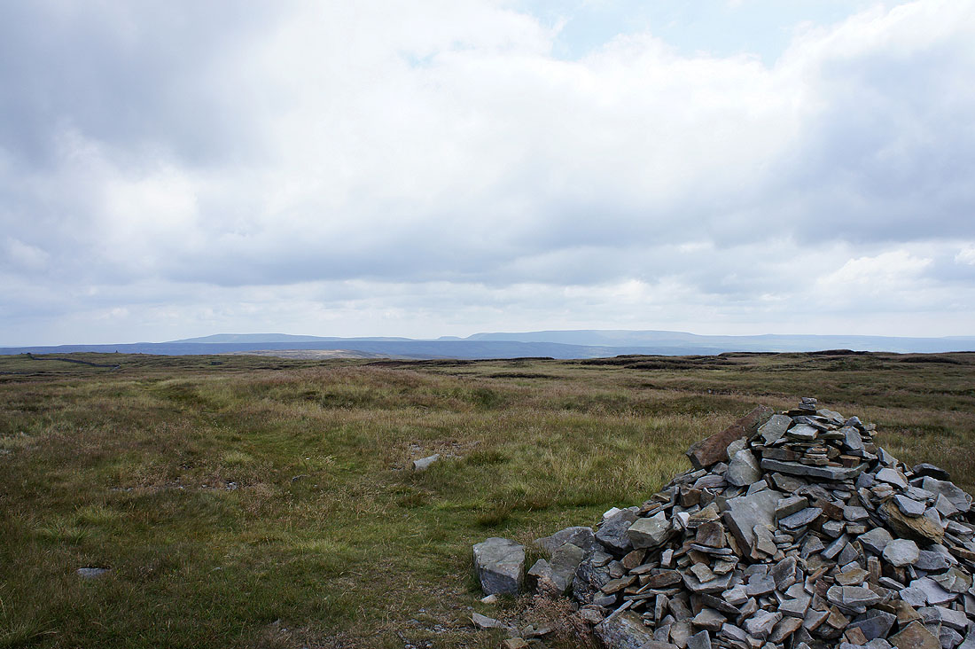
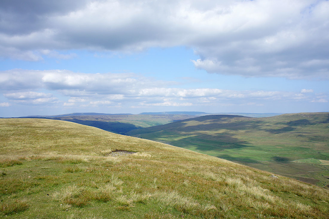
Buckden Pike and Great Whernside in the distance
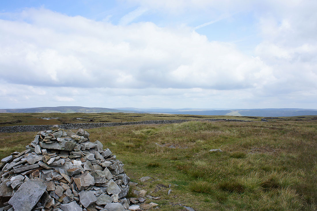
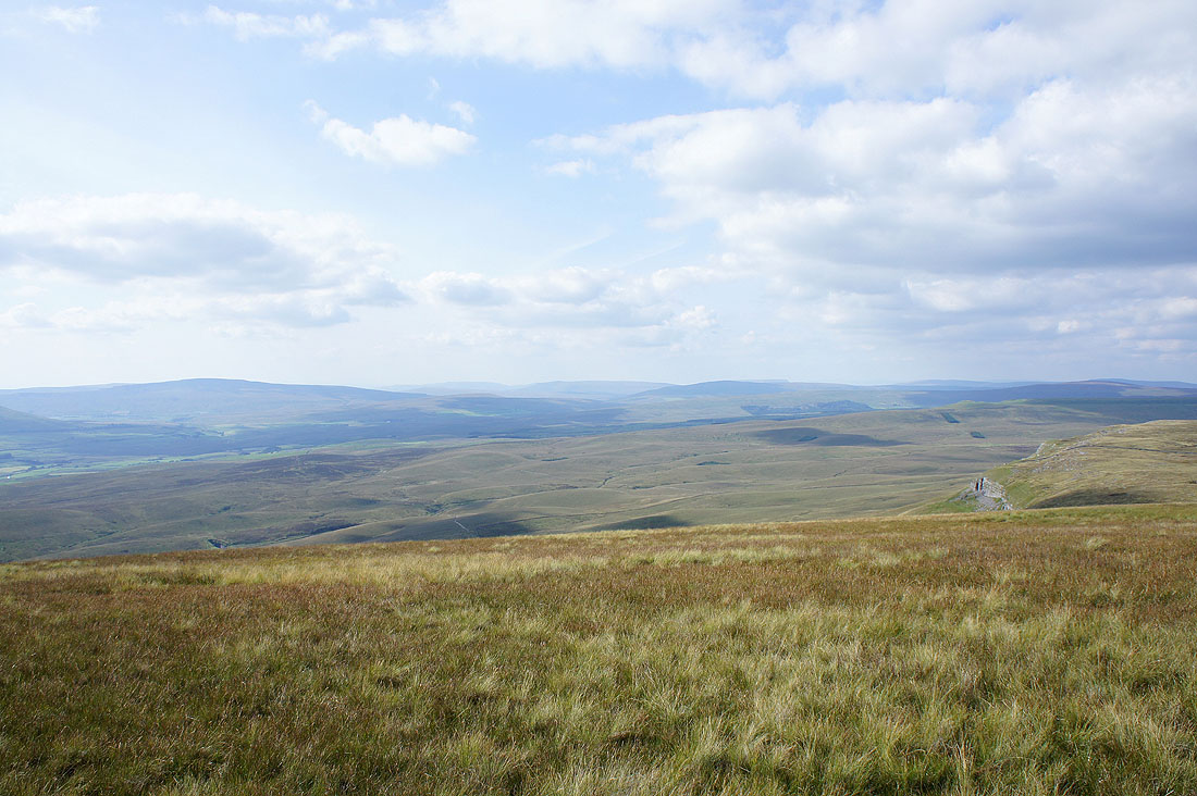
The view looking north
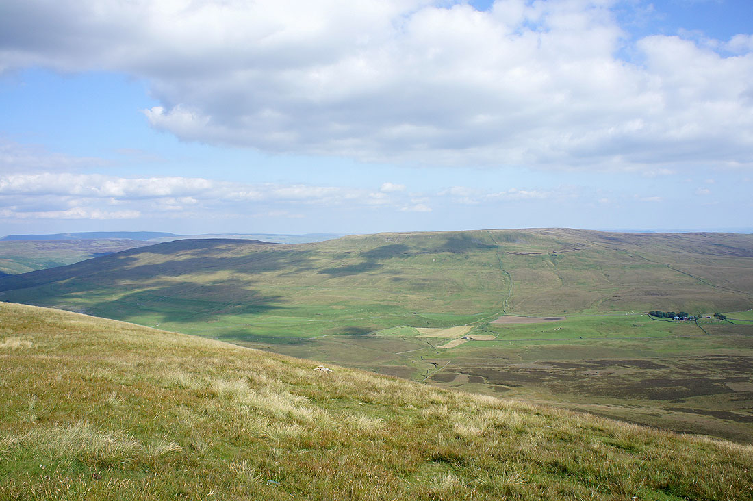
Buckden Pike and Great Whernside with Darnbrook Fell in the foreground
Ingleborough and Penyghent again as I make my way back down to the road..
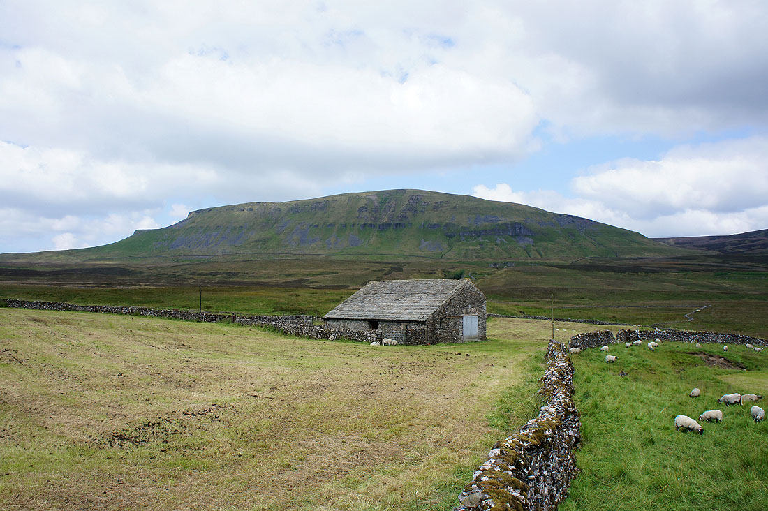
Penyghent behind Blishmire House
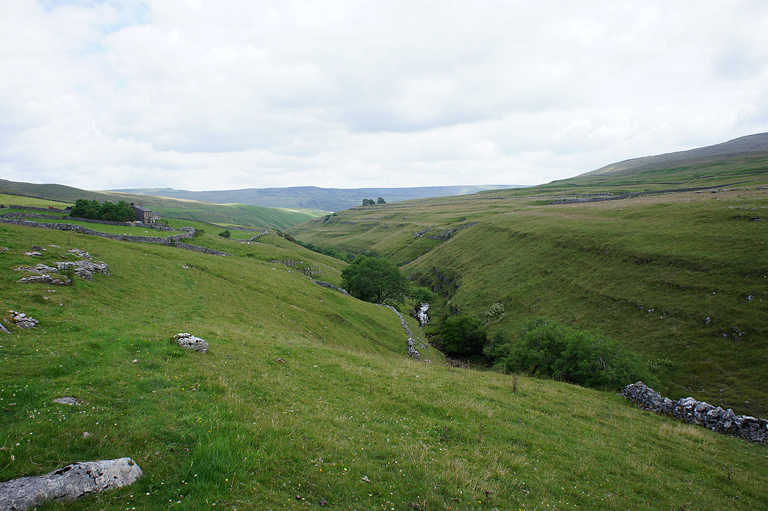
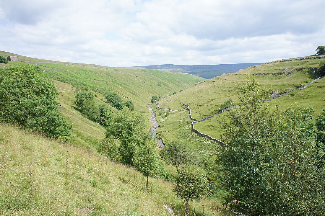
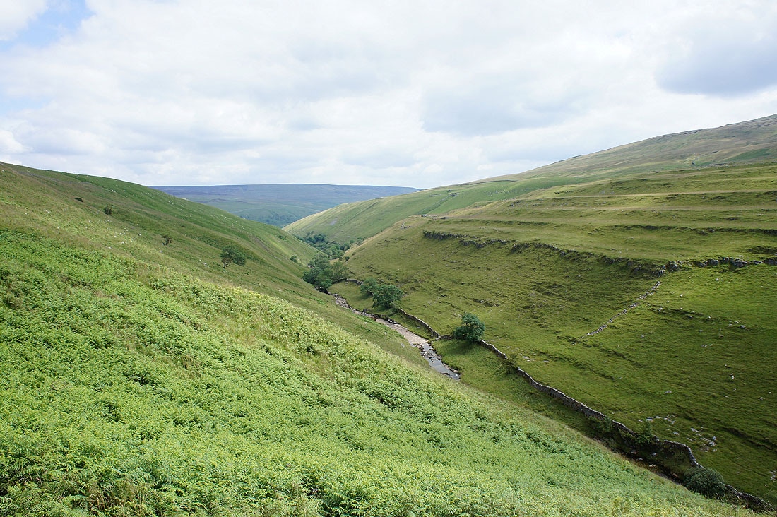
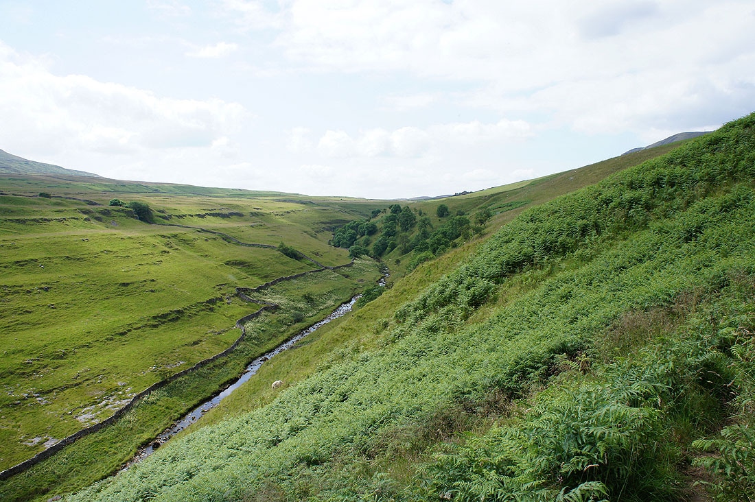
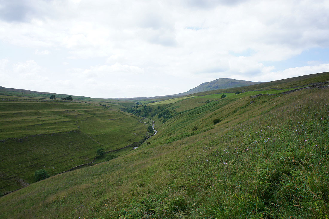
I used a path above Penyghent Gill for the next mile or so
Penyghent Gill....
A view of Penyghent from the road to Halton Gill
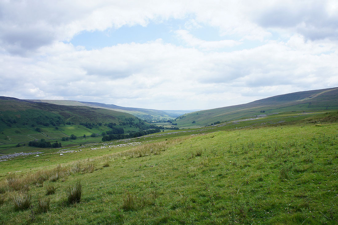
Littondale
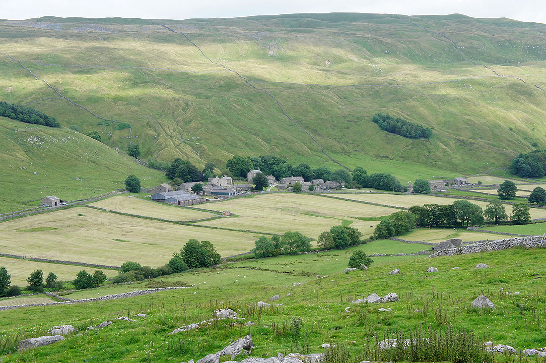
The hamlet of Halton Gill
Making hay at Foxup
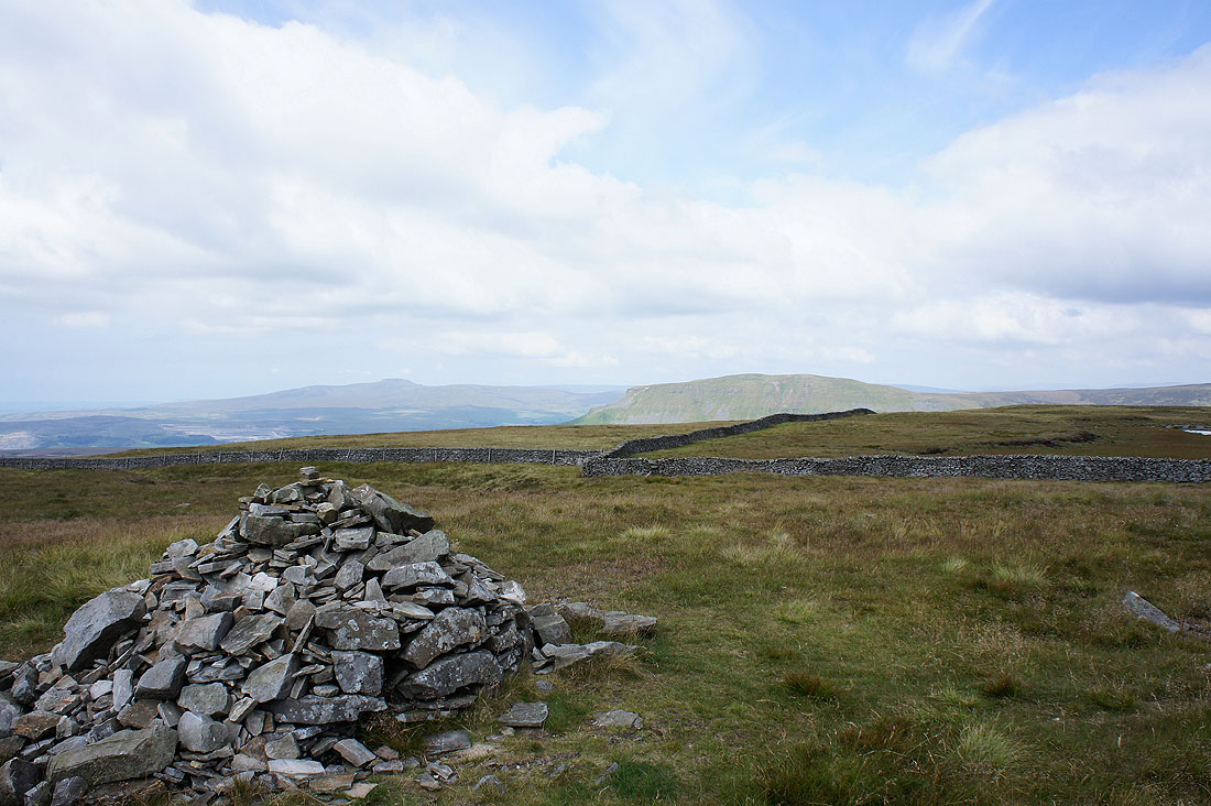
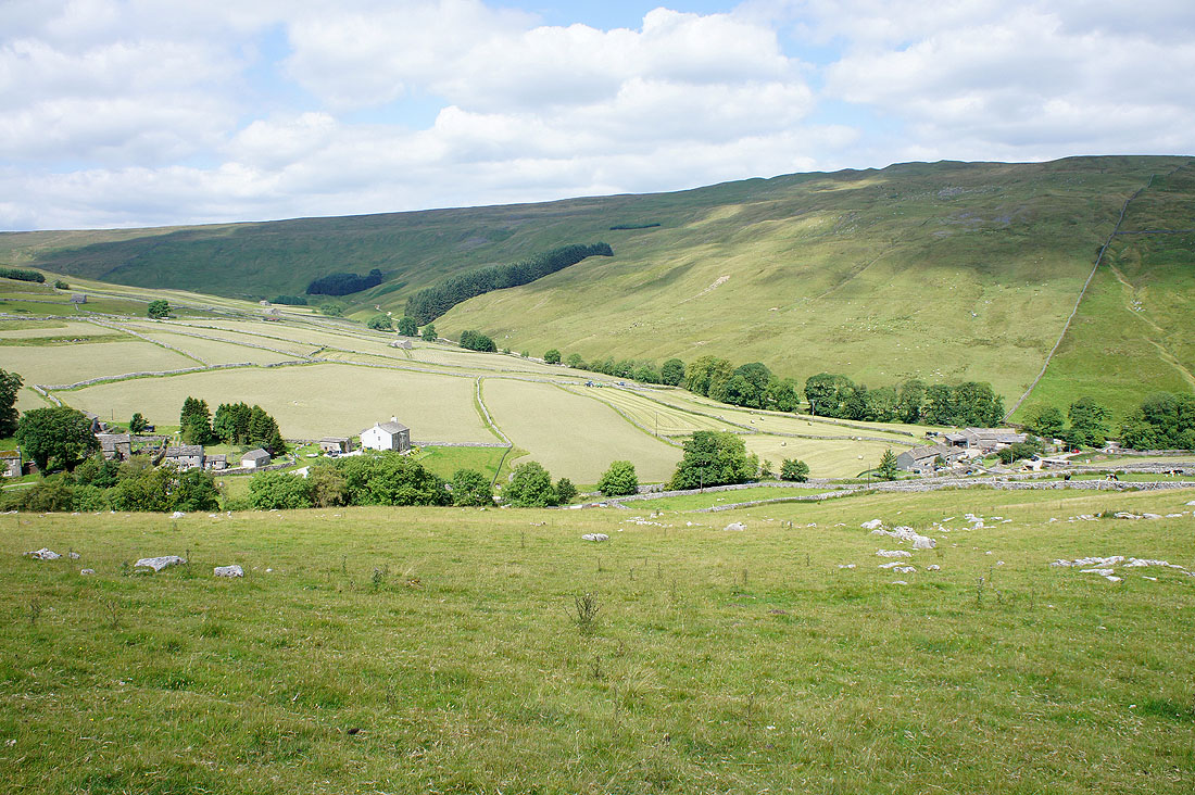
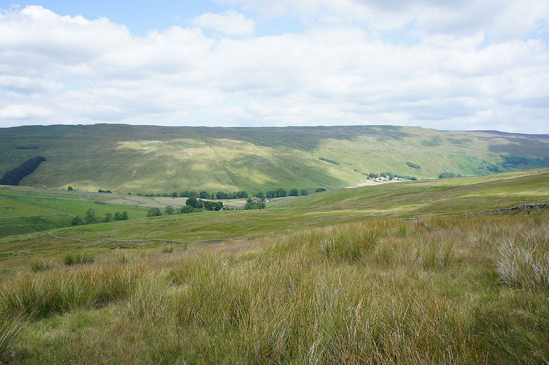
A view back from the bridleway across Foxup Moor
At the top of the climb up Plover Hill. Ingleborough and Whernside in the distance.
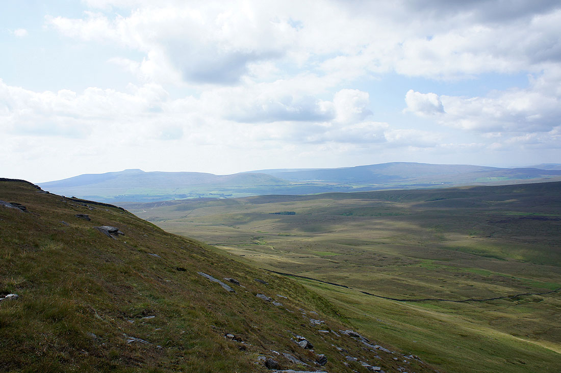
The view northwest to Whernside, the Howgills and Baugh Fell
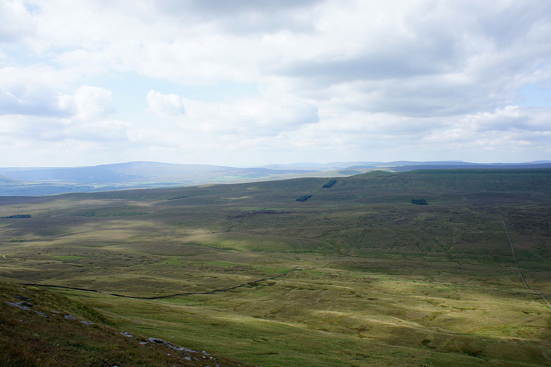
and north to Dodd Fell Hill, Great Shunner Fell and Lovely Seat
Plover Hill from the climb up to Penyghent
Ingleborough and Whernside
On the summit of Penyghent. Buckden Pike and Great Whernside in the distance.
The view down into Silverdale and Ribblesdale. Pendle Hill can just be made out in the middle of the picture in the distance.
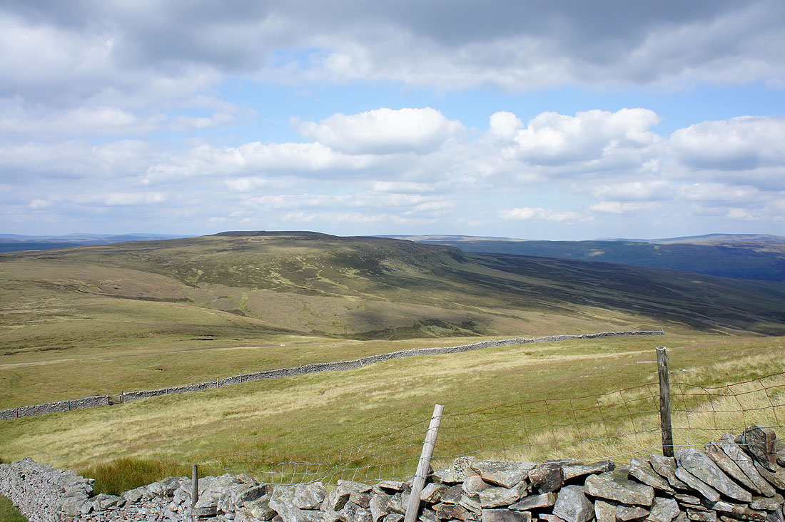
Darnbrook Fell and Fountains Fell
Ingleborough and Whernside
Whernside, the Howgills, Baugh Fell and Great Knoutberry Hill to the northwest
Heading down
Ribblesdale
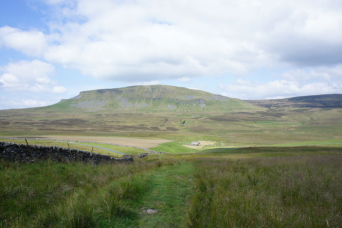
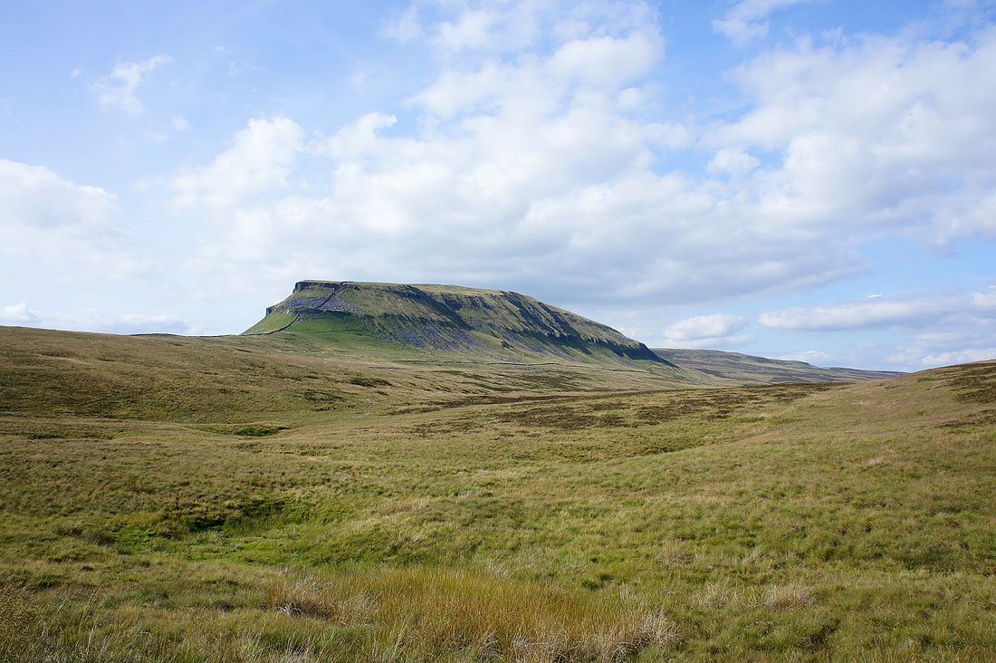
Shots of Penyghent from the Pennine Way to Dale Head..
Back at the Silverdale road and one last shot of Penyghent
