30th July 2016 - Middleton Fell
Walk Details
Distance walked: 13.8 miles
Total ascent: 2370 ft
OS map used: OL2 - Yorkshire Dales, Southern & Western areas
Time taken: 8 hrs
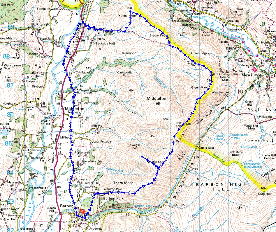
Route description: Barbon-High Road-A683-Low Waterside-A683-Fellside-Holme Knott-Brown Knott-Long Bank-Combe Top-Barkin Top-Calf Top-Castle Knott-Eskholme Pike-Eskholme-Barbon
Since my first walk up Middleton Fell back in 2010 this hill has become a regular destination and a favourite of mine for the fantastic all round views it offers and from the evidence of my previous visits and today's, pretty much guaranteed solitude. Perhaps this will change. From the 1st August all this fell became included within the newly extended boundaries of the Yorkshire Dales National Park. The route I followed today was a reverse of the one that I did on that first walk six years ago. I wanted to get all the road walking out of the way at the beginning of the day and spend the afternoon on the fell in hopefully the best of the weather. I set off from Barbon under predominately cloudy skies and it wasn't until the middle of the afternoon when I was approaching Calf Top that more in the way of blue skies and sunshine started to appear. The end of the afternoon had some lovely sunny spells and with the great visibility I had some wonderful views to enjoy.
After parking in Barbon I set off by taking the lane of "High Road" north below the slopes of Middleton Fell and when I reached the A683 I crossed this onto the bridleway opposite to reach Low Waterside by the River Lune. From here I followed another bridleway north through fields and woodland to the A683 opposite Jordan Lane. Fortunately I only had a brief walk south along this road to reach the access road up to the farm of Fellside. Once I'd made my way through the farmyard I was finally onto the open fell. There's a rough track to follow at first but since I wanted to visit Holme Knott I was going to have to leave this. On the way up I met a quad bike track that headed north towards Holme Knott so I used this and then left it and made my way up to the trig point at a convenient place. After having lunch here and taking in the view I had a long walk up the ridge of Middleton Fell to its summit, Calf Top. At first there's a trod in the grass that follows the wall from Holme Knott to Brown Knott and then the rough track from Fellside is met and this took me up onto Long Bank. A clear enough path then makes its way uphill over Combe Top and Barkin Top to finally reach the trig point on Calf Top. I then made my way south down the fell to Castle Knott and since the weather had improved I decided to pop across to the top of its western shoulder to take in the view. Once back at the summit cairn I continued heading down to Eskholme Pike and off access land to reach Eskholme. From here I followed the public footpath south across Barbon Beck and back into Barbon.
Total ascent: 2370 ft
OS map used: OL2 - Yorkshire Dales, Southern & Western areas
Time taken: 8 hrs
Route description: Barbon-High Road-A683-Low Waterside-A683-Fellside-Holme Knott-Brown Knott-Long Bank-Combe Top-Barkin Top-Calf Top-Castle Knott-Eskholme Pike-Eskholme-Barbon
Since my first walk up Middleton Fell back in 2010 this hill has become a regular destination and a favourite of mine for the fantastic all round views it offers and from the evidence of my previous visits and today's, pretty much guaranteed solitude. Perhaps this will change. From the 1st August all this fell became included within the newly extended boundaries of the Yorkshire Dales National Park. The route I followed today was a reverse of the one that I did on that first walk six years ago. I wanted to get all the road walking out of the way at the beginning of the day and spend the afternoon on the fell in hopefully the best of the weather. I set off from Barbon under predominately cloudy skies and it wasn't until the middle of the afternoon when I was approaching Calf Top that more in the way of blue skies and sunshine started to appear. The end of the afternoon had some lovely sunny spells and with the great visibility I had some wonderful views to enjoy.
After parking in Barbon I set off by taking the lane of "High Road" north below the slopes of Middleton Fell and when I reached the A683 I crossed this onto the bridleway opposite to reach Low Waterside by the River Lune. From here I followed another bridleway north through fields and woodland to the A683 opposite Jordan Lane. Fortunately I only had a brief walk south along this road to reach the access road up to the farm of Fellside. Once I'd made my way through the farmyard I was finally onto the open fell. There's a rough track to follow at first but since I wanted to visit Holme Knott I was going to have to leave this. On the way up I met a quad bike track that headed north towards Holme Knott so I used this and then left it and made my way up to the trig point at a convenient place. After having lunch here and taking in the view I had a long walk up the ridge of Middleton Fell to its summit, Calf Top. At first there's a trod in the grass that follows the wall from Holme Knott to Brown Knott and then the rough track from Fellside is met and this took me up onto Long Bank. A clear enough path then makes its way uphill over Combe Top and Barkin Top to finally reach the trig point on Calf Top. I then made my way south down the fell to Castle Knott and since the weather had improved I decided to pop across to the top of its western shoulder to take in the view. Once back at the summit cairn I continued heading down to Eskholme Pike and off access land to reach Eskholme. From here I followed the public footpath south across Barbon Beck and back into Barbon.
© Crown copyright. All rights reserved. License number PU 100034184.
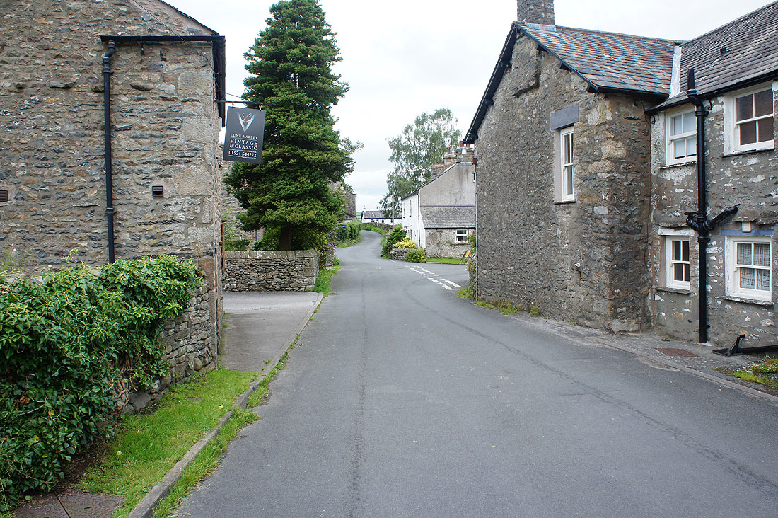
It's a quiet morning in Barbon as I set off. I'll turn right at the junction ahead.
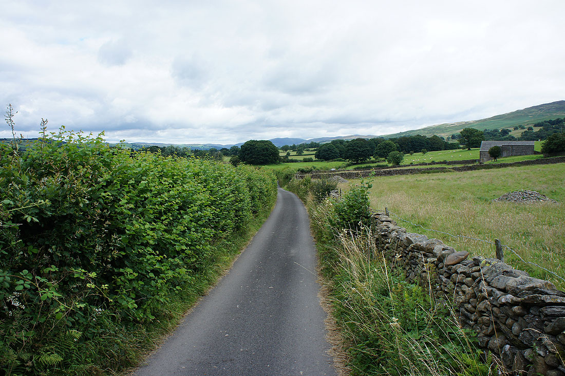
High Road heads north to the east of the A683
It's a narrow lane and fortunately I don't meet any traffic where I couldn't get out of the way
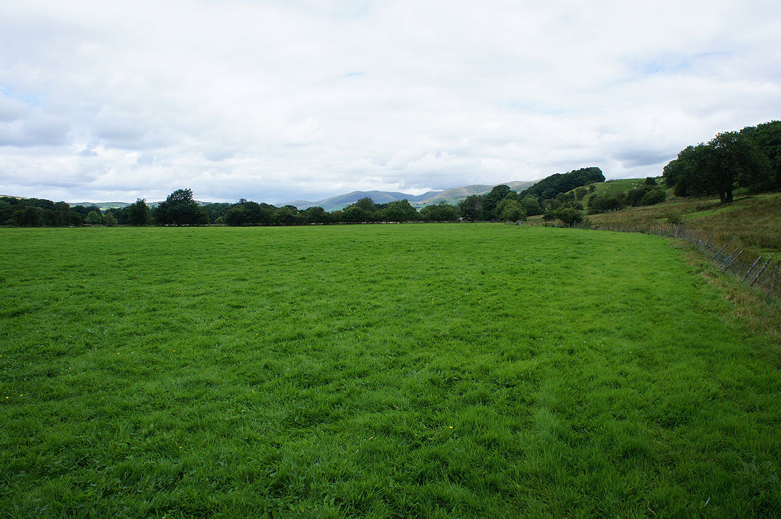
Lunesdale to my left
and the slopes of Middleton Fell to my right
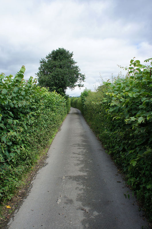
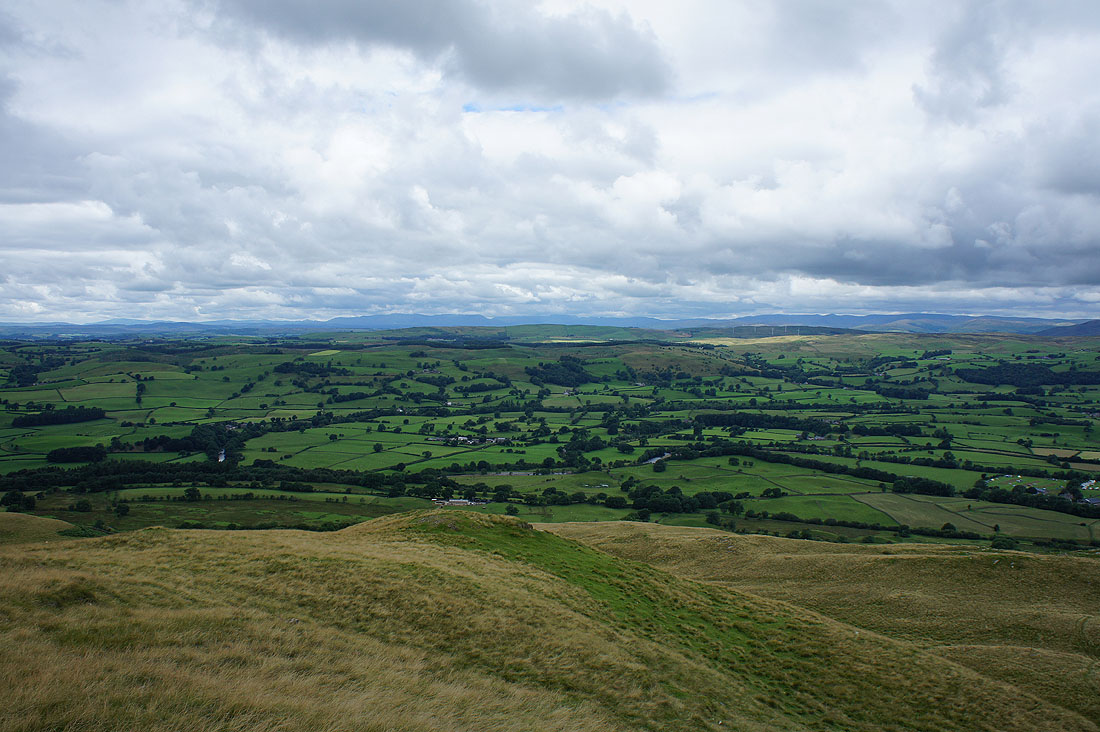
Having reached the end of High Road and crossed the A683 I'm on the bridleway past Low Waterside and back to the A683 opposite the lane up to Fellside. I have a view of the Howgills in front of me.
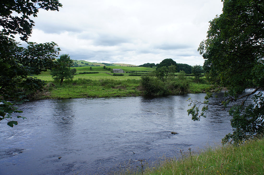
A brief chance to see the River Lune
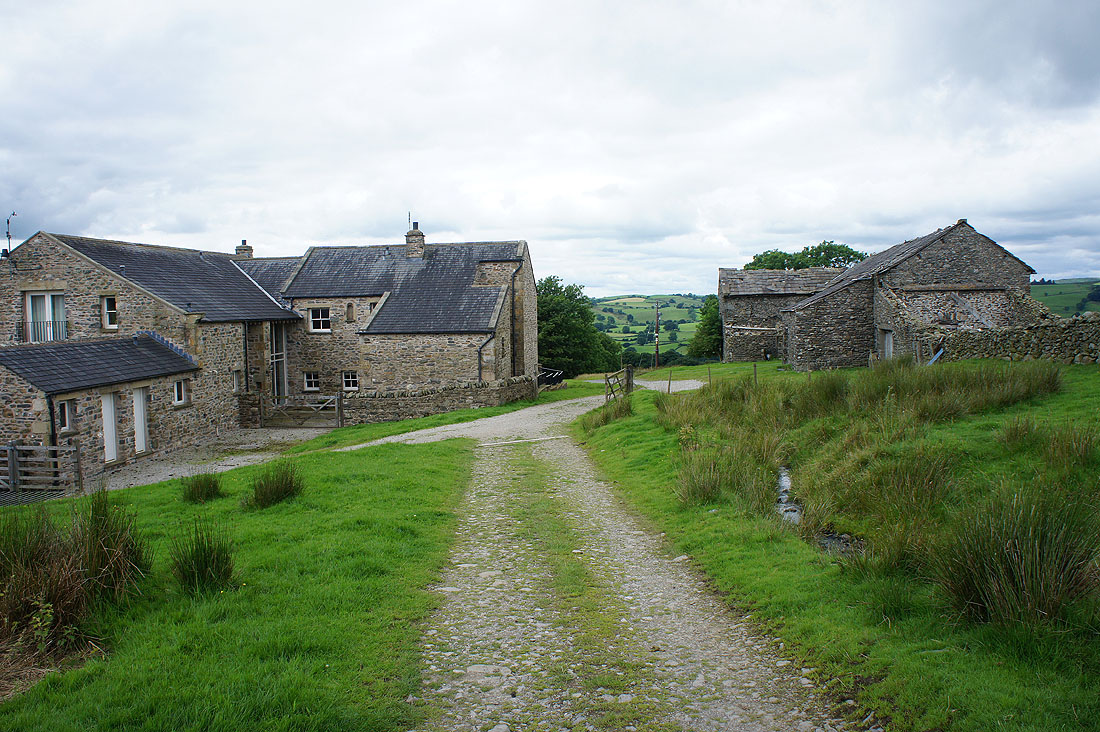
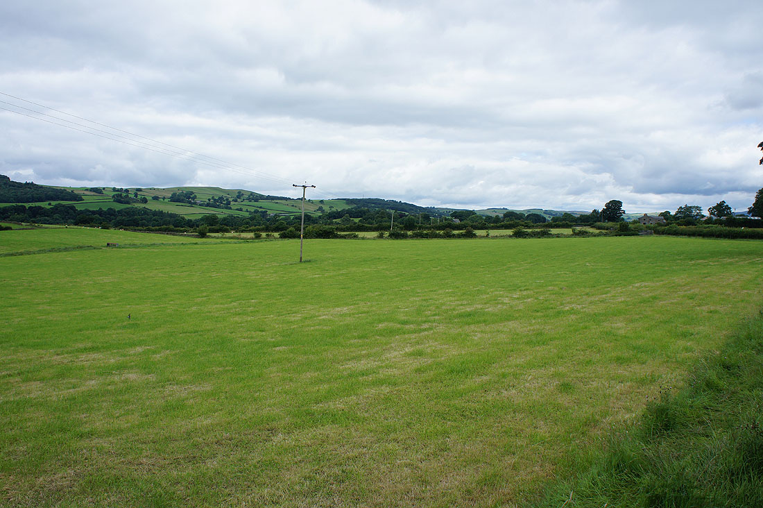
At Fellside and finally..
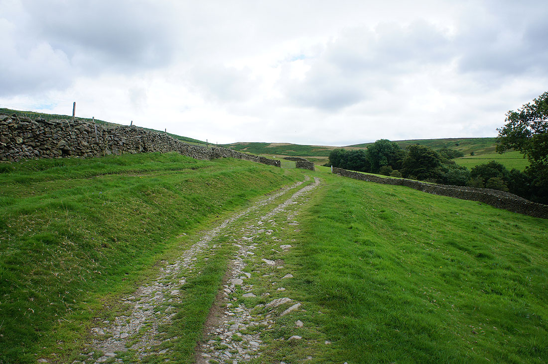
..I'm heading onto the open fell
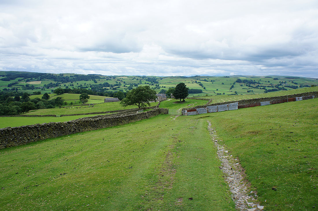
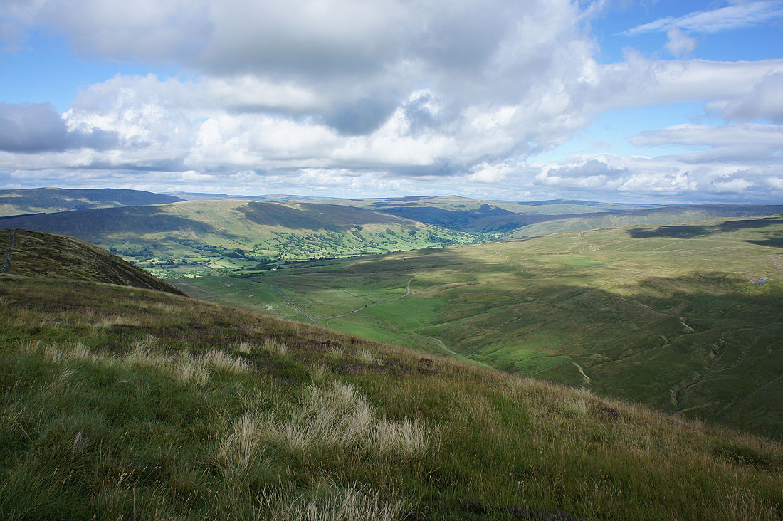
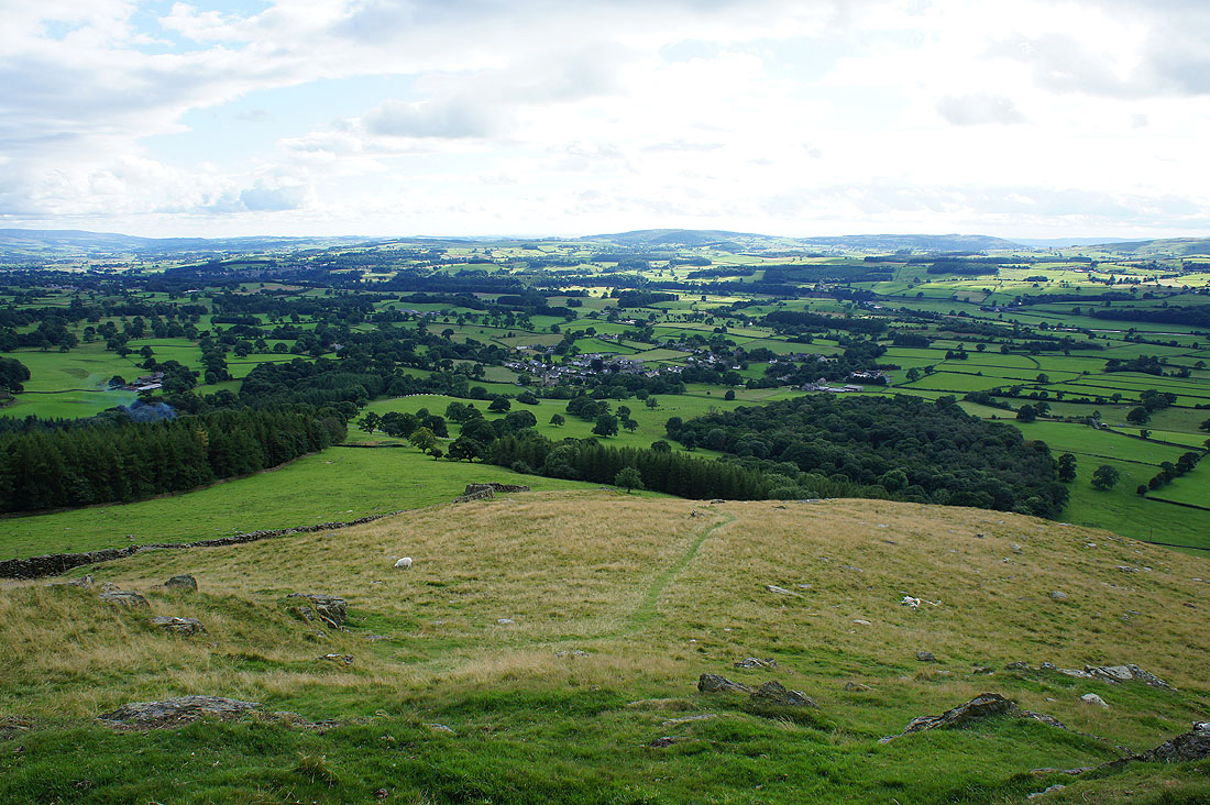
A look back to Fellside and Lunesdale
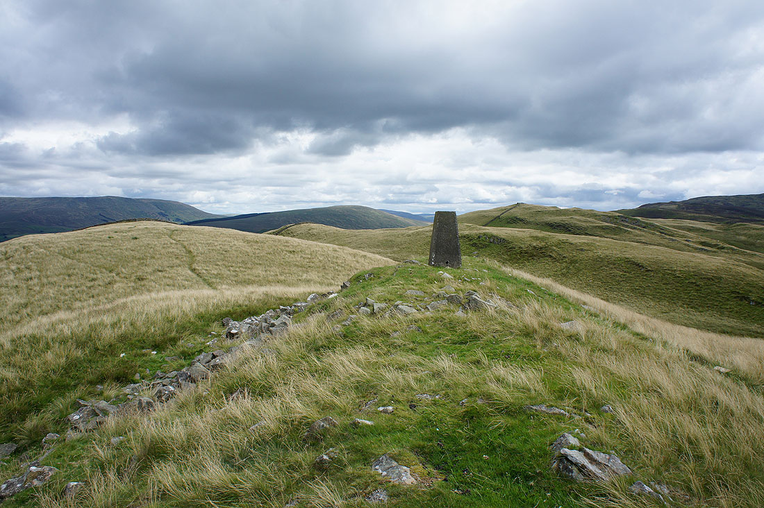
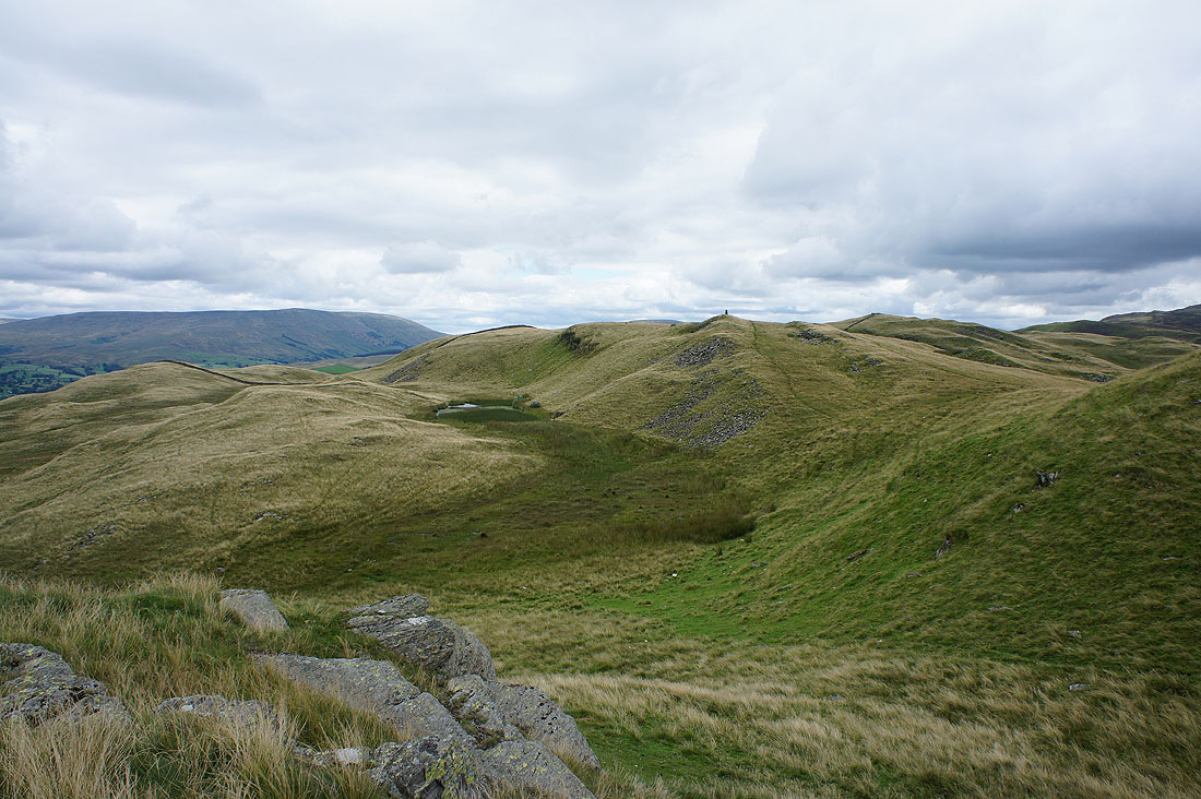
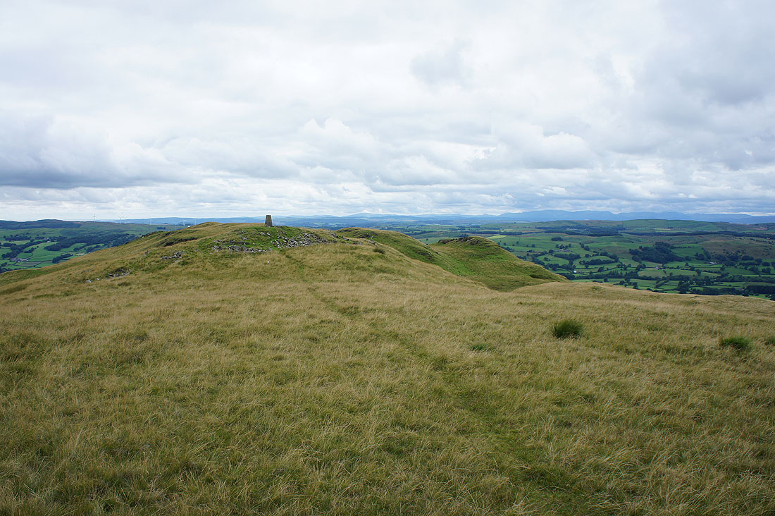
At the trig point on Holme Knott and I can finally sit down and have my lunch
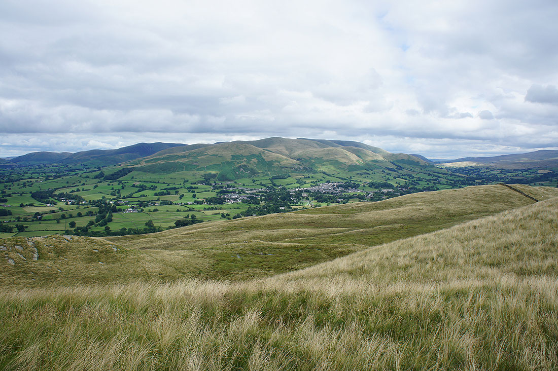
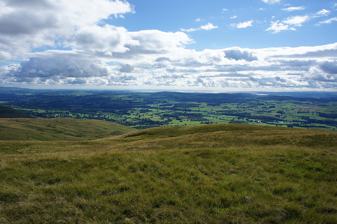
Refreshments had, time to take in the view before I move on. Sedbergh and the Howgills.
I've made my way to the western end of the summit to look across Lunesdale to a long line of Lake District fells
Looking north up Lunesdale to the Lune gorge..
..and back to the trig point
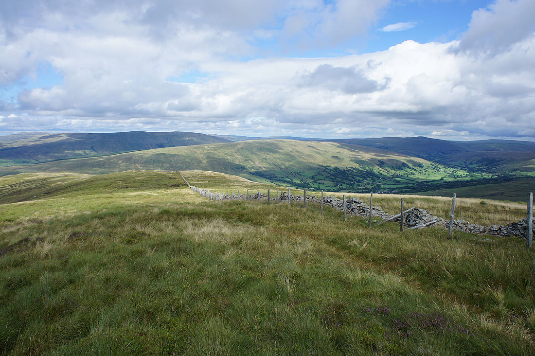
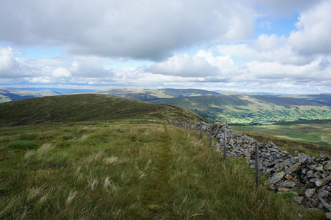
Back to and past the trig point..
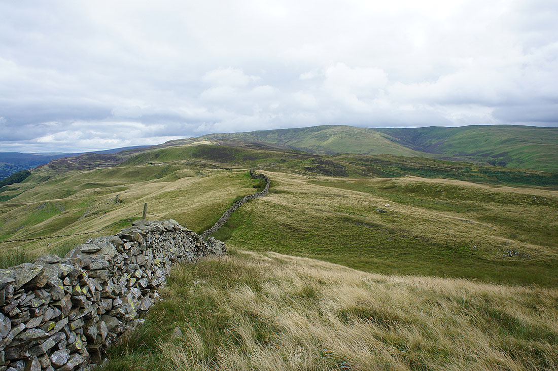
..and I'll be following this wall up the slopes of Middleton Fell for some time to come
If I look over the wall I can see Dentdale and the fell of Aye Gill Pike
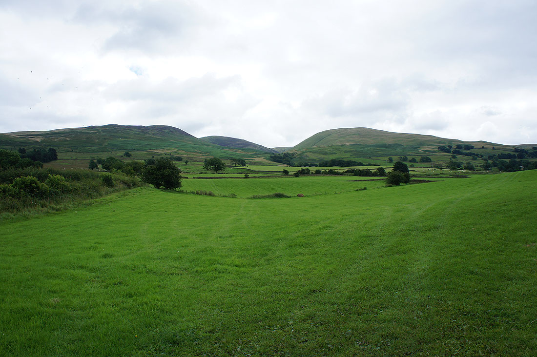
The sun is briefly out on the Howgills just before I reach Brown Knott
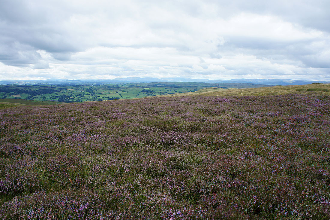
There's a fine carpet of heather on Brown Knott
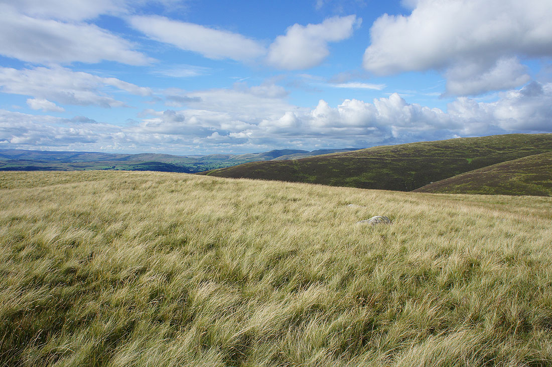
Another welcome bit of sunshine lights up the moorland grass on Long Bank
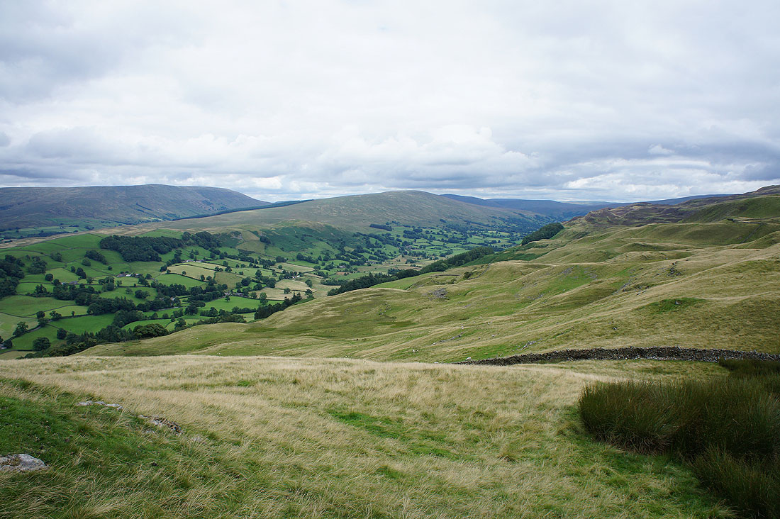
A view up Dentdale to Great Knoutberry Hill and the village of Dent can be seen as well
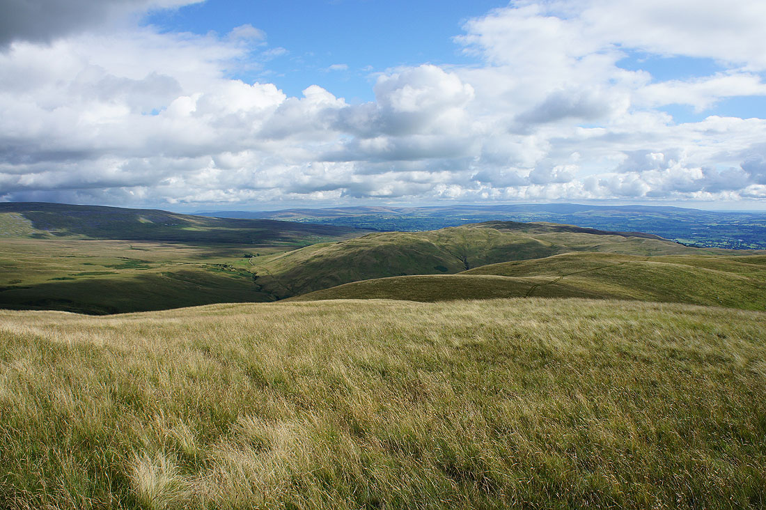
Looking back to the Howgills as I head up Combe Top
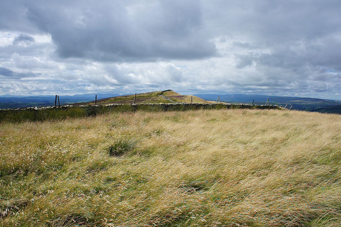
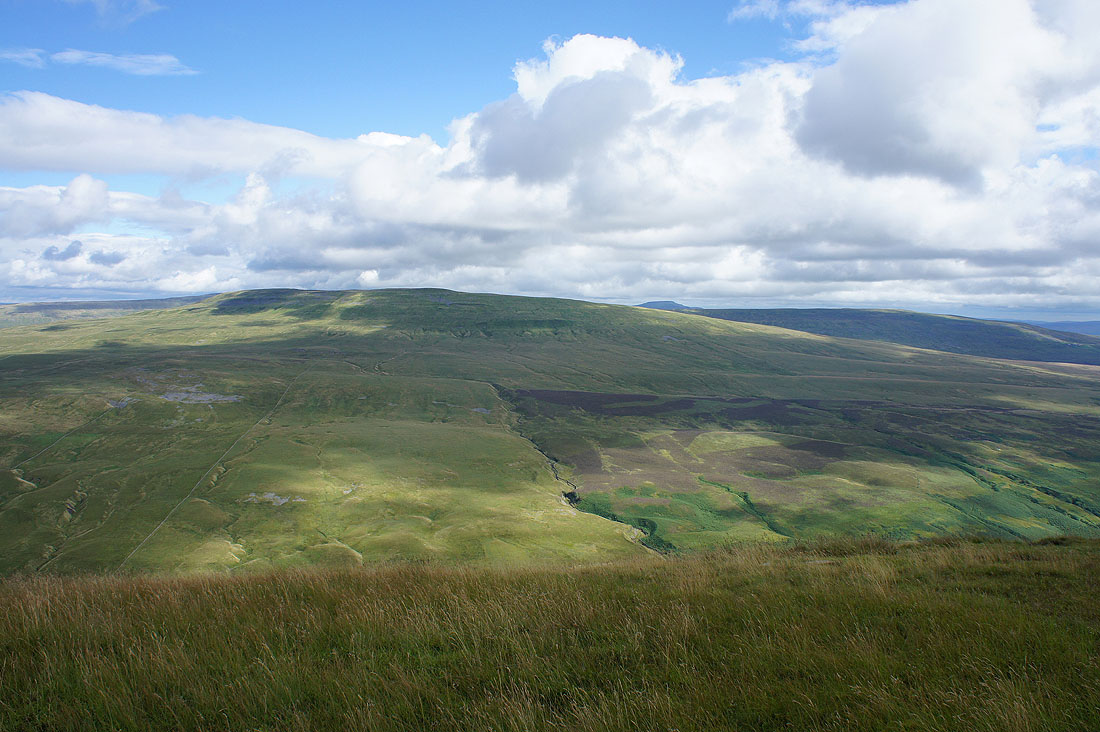
Baugh Fell, Aye Gill Pike, Dentdale and Great Knoutberry Hill as I reach Barkin Top..
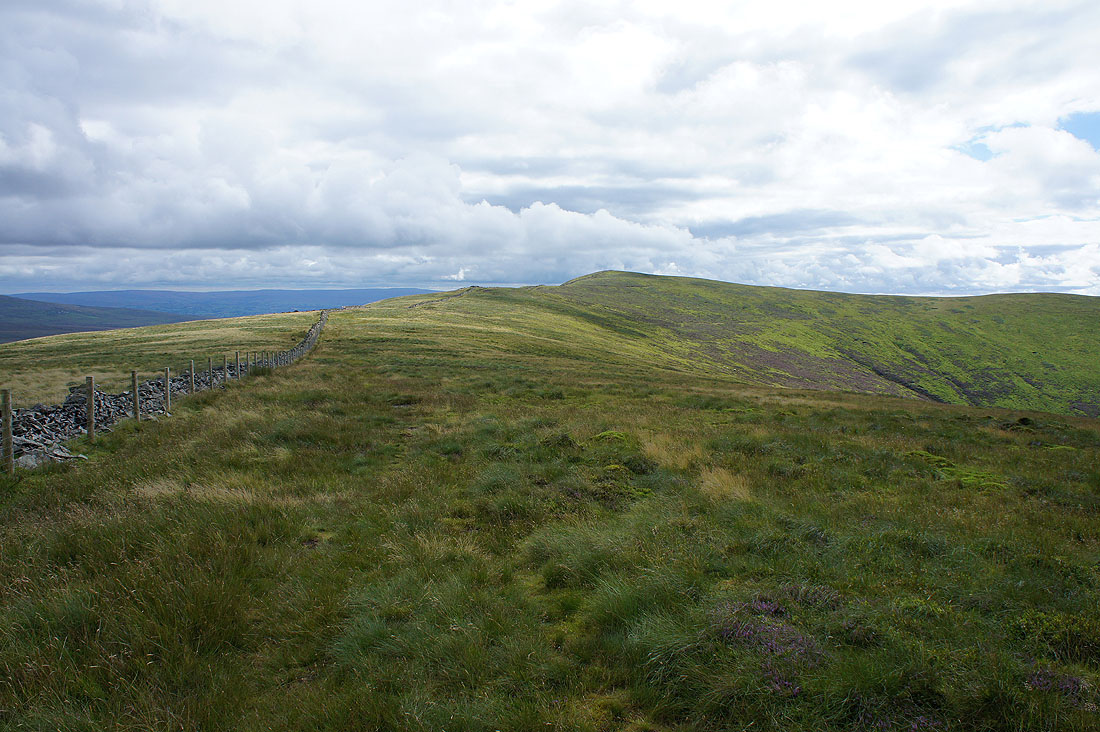
..and finally Calf Top, the summit of Middleton Fell is in sight. It feels a long time since I left Holme Knott.
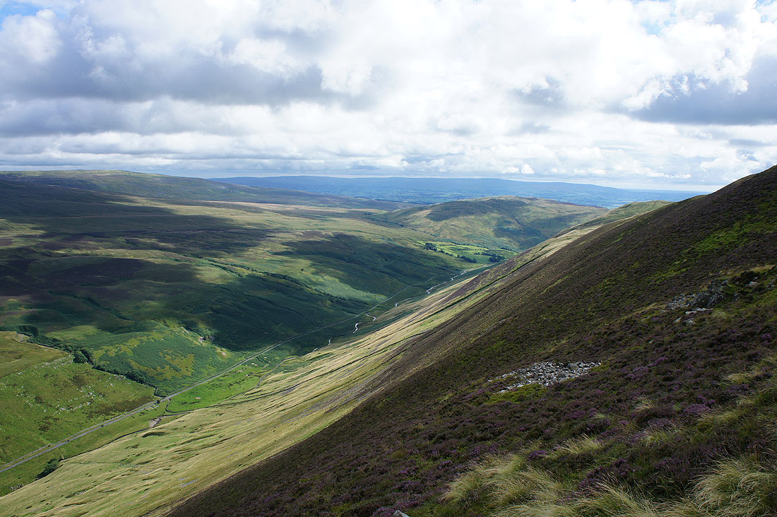
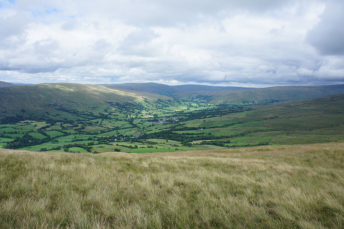
Before I reach the top a quick look at the steep drop down into Barbondale
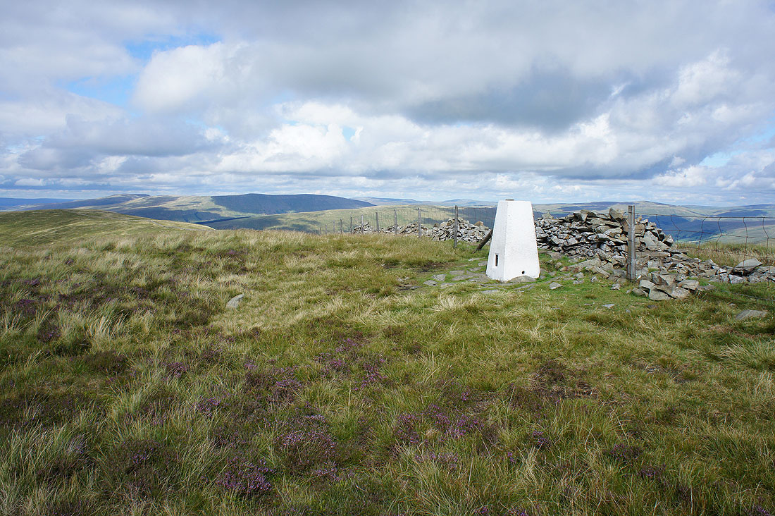
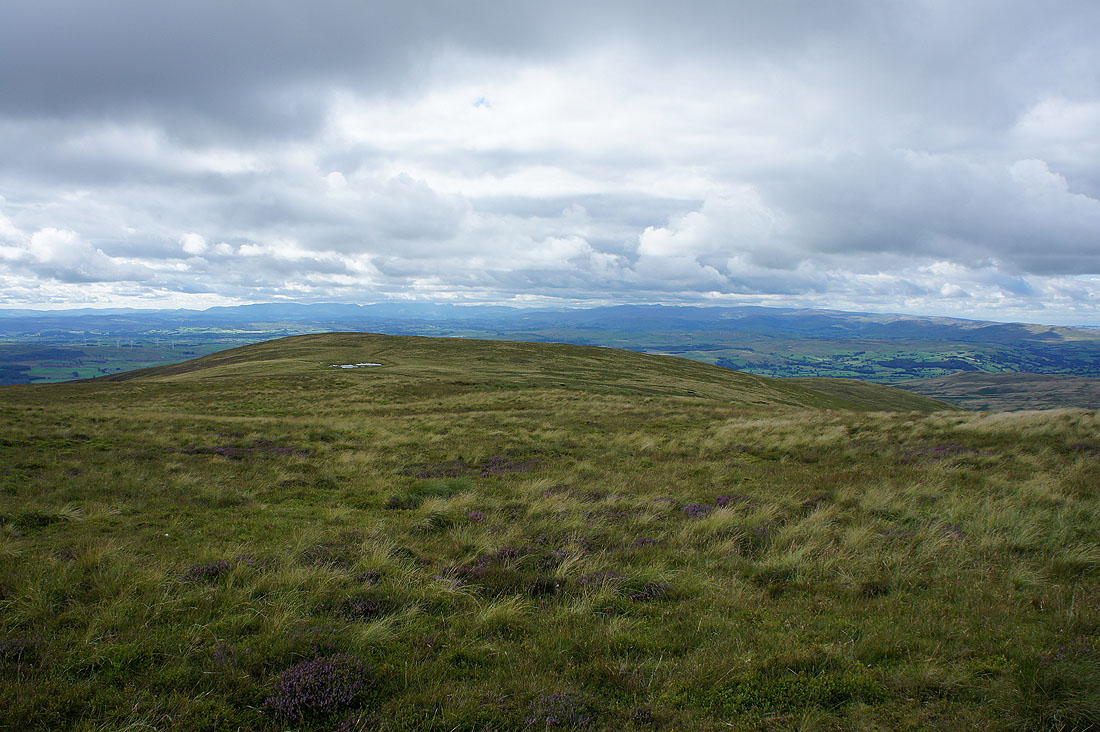
The trig point on the summit of Middleton Fell. I'm not surprised to find that I'm the only one here.
There's a really good view from here, it would be nice to see a few other people taking it in. Aye Gill Pike, Dentdale and Great Knoutberry Hill to the east.
Wild Boar Fell, Baugh Fell and Aye Gill Pike to the northeast
To the west a long line of Lakeland fells beyond the broad western shoulder of the fell. There's a cairn at its end that worth a visit for its view. No time for that today though.
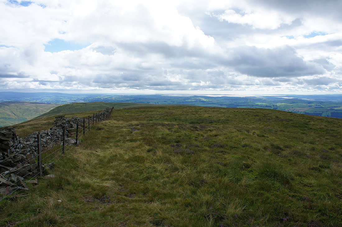
Morecambe Bay to the southwest
Crag Hill on the other side of Barbondale with the top of Ingleborough peeping over its right shoulder
Finally, the Howgills
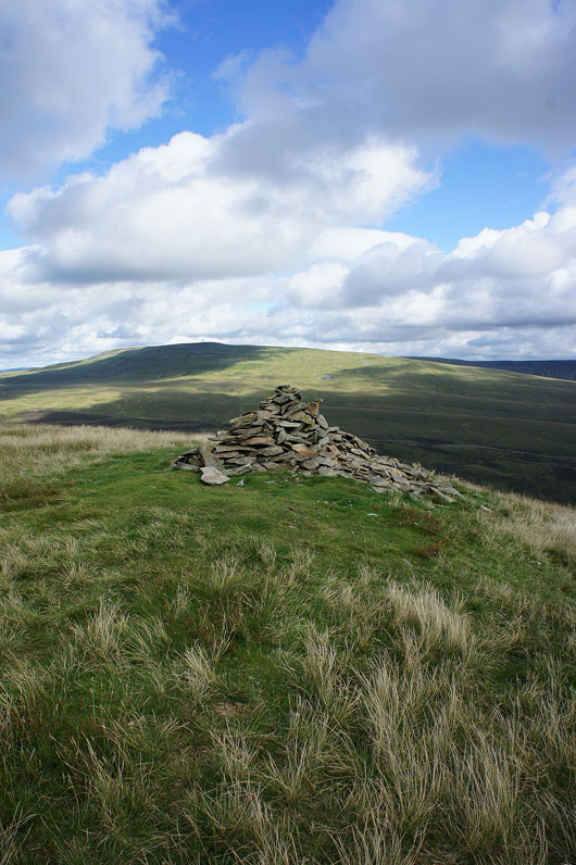
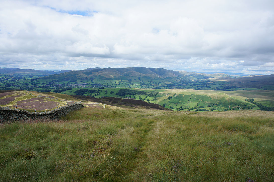
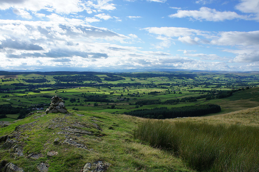
At the cairn that marks the top of Castle Knott
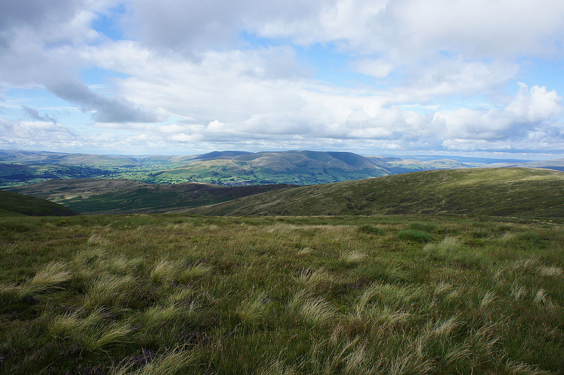
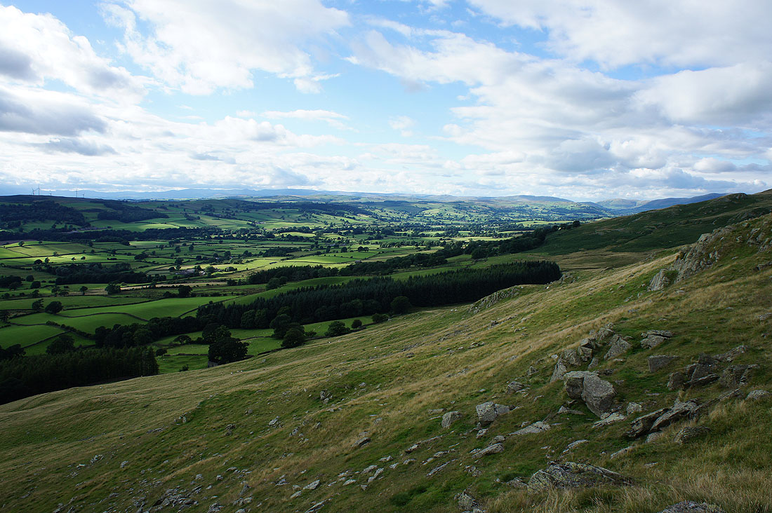
There's more in the way of sunshine now than when I was on Calf Top, so I've decided to make my way to the end of the western shoulder of Castle Knott. It was worth it for the view across Lunesdale to the Lakes, especially since the visibility is very good. I can easily make out the tops of Helvellyn and High Street on the right.
Morecambe Bay
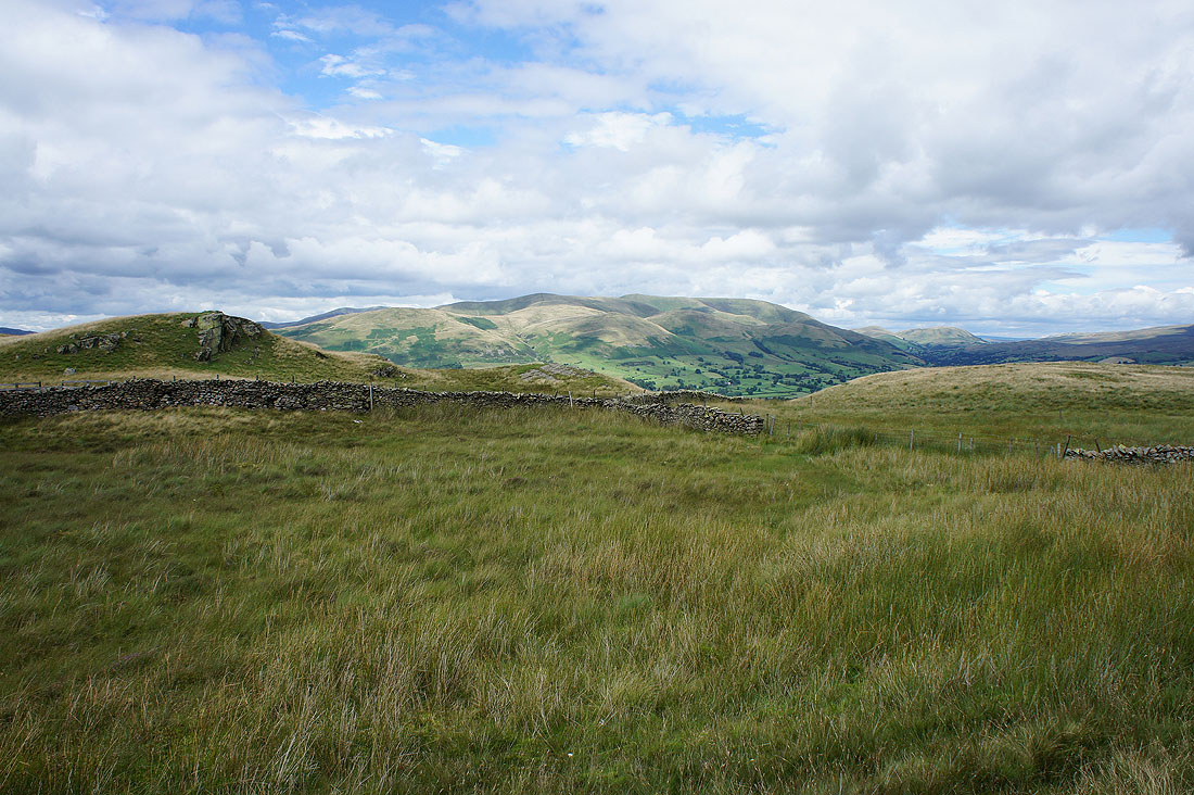
A bit of the Howgills beyond the shoulder of Calf Top
The fells of the Forest of Bowland in the distance as I head back to the top of Castle Knott. I can even make out Pendle Hill way in the distance on the left.
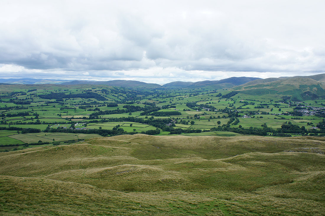
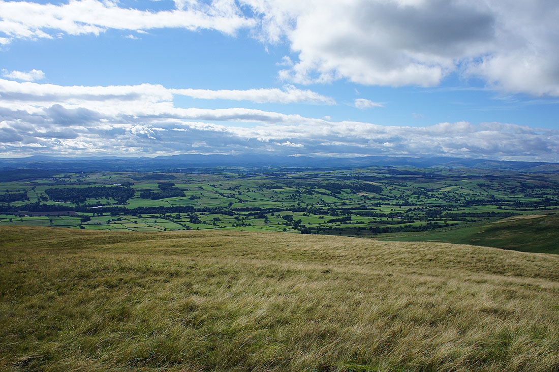
On the home straight as I arrive on Eskholme Pike. There's a final long distance view across Lunesdale to the Lakes.
The village of Barbon below
A last look up Lunesdale as I make my way down past Devil's Crag
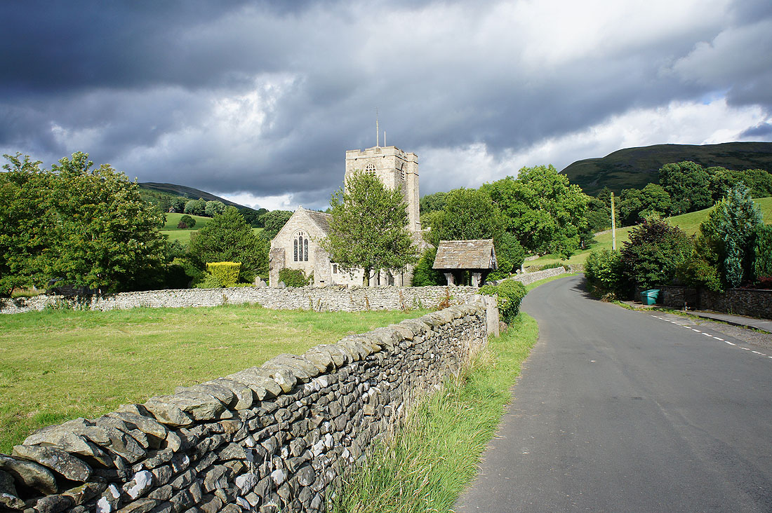
A lovely start to the evening in Barbon as I pass the church of St. Bartholomew's