30th June 2010 - Fountains Fell
Walk Details
Distance walked: 8.1 miles
Total ascent: 1255 ft
OS map used: OL2 - Yorkshire Dales, Southern & Western areas
Time taken: 5.5 hrs
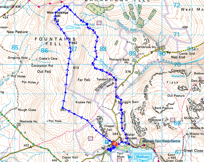
Route description: Road north of Malham Tarn-Knowe Fell-Fountains Fell-Pennine Way-Holme Farm-Road north of Malham Tarn
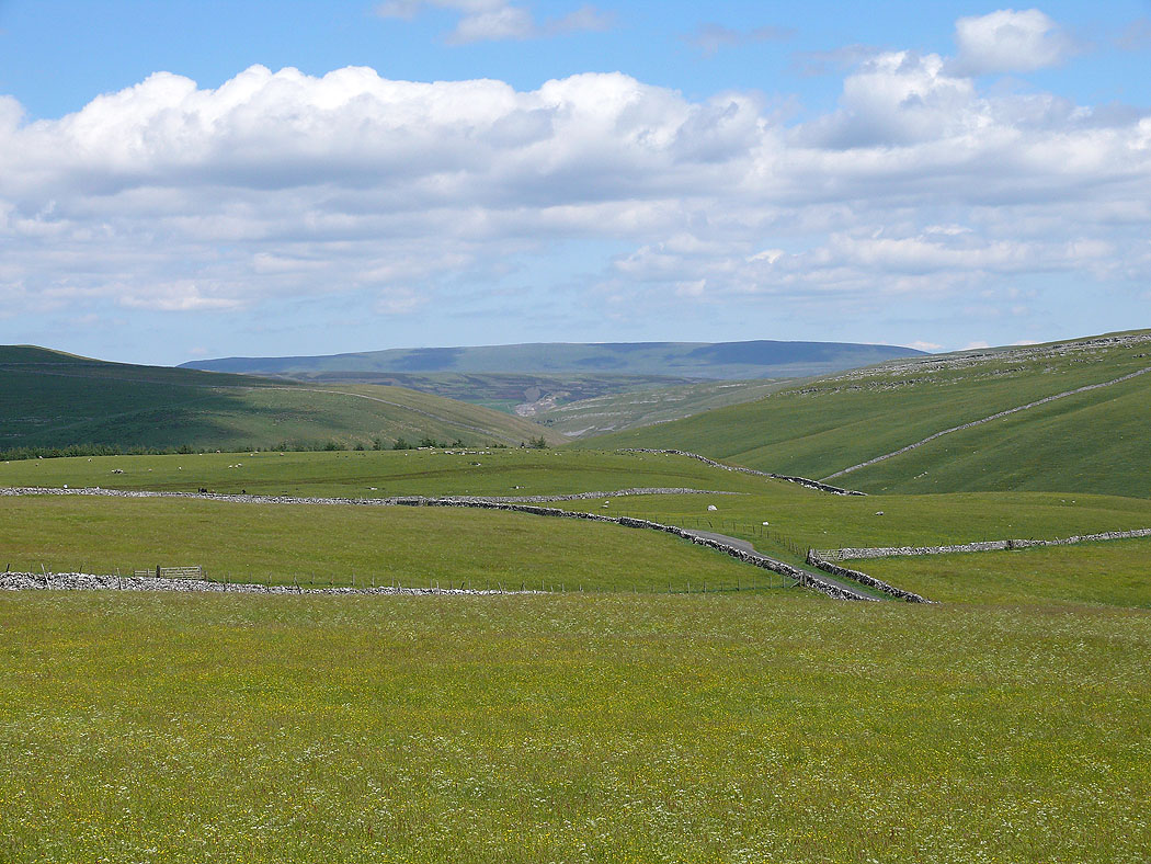
A walk up Fountains Fell from the road above Malham Tarn. After parking in the disused quarry by the road that runs north of Malham Tarn and over to Littondale I made my way onto access land and up to Knowe Fell. I then walked up to the summit of Fountains Fell and made my way back down by the Pennine Way.
Route map
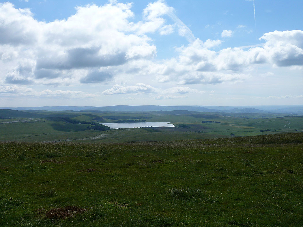
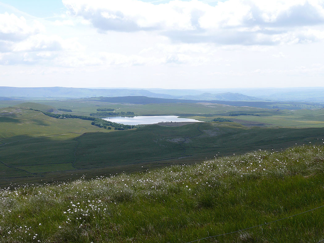
Malham Tarn on the ascent of Knowe Fell
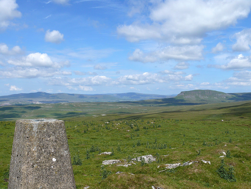
Ingleborough, Whernside and Penyghent from Knowe Fell
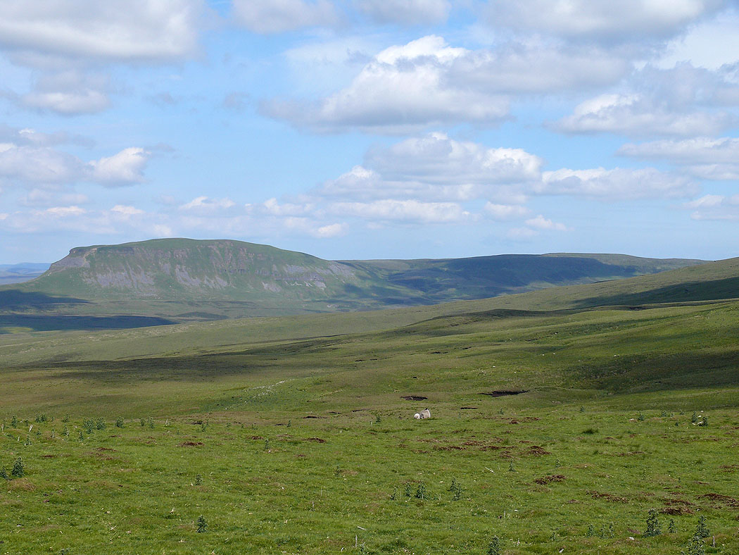
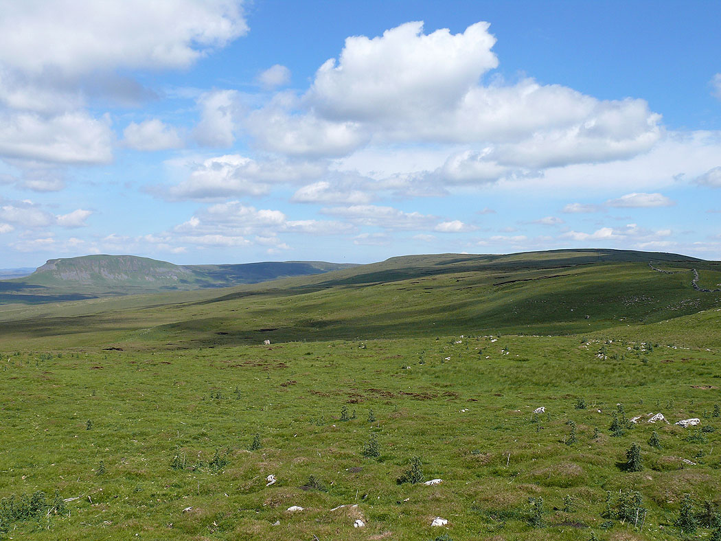
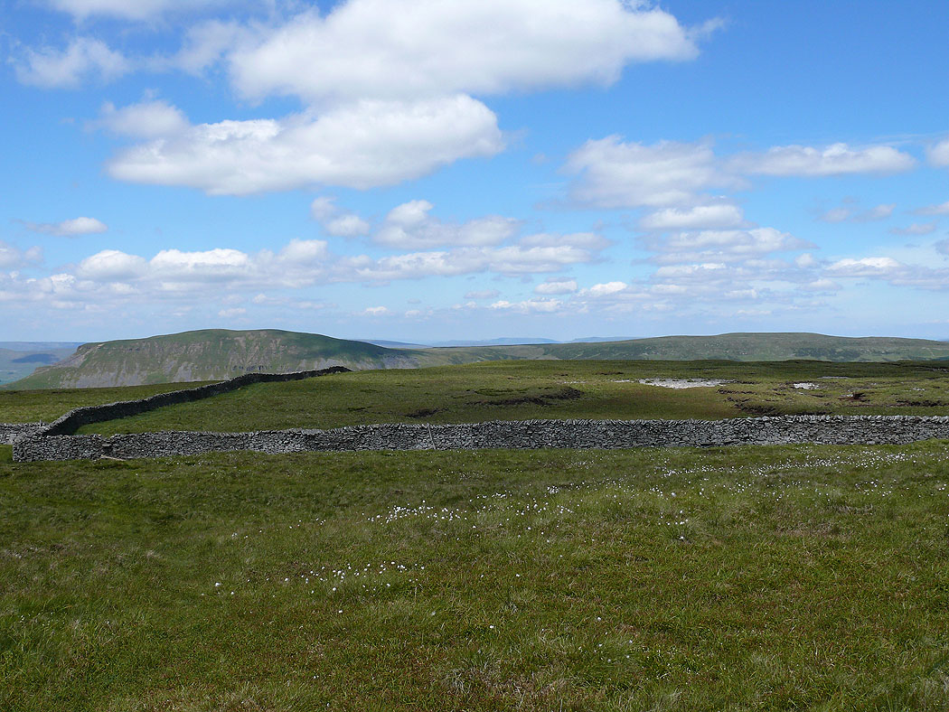
Penyghent
Penyghent and uphill to Fountains Fell
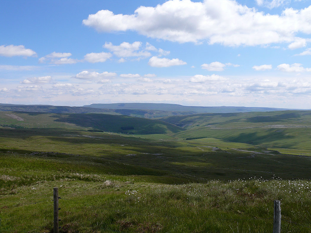
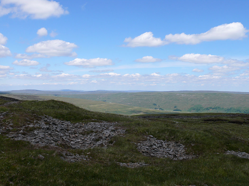
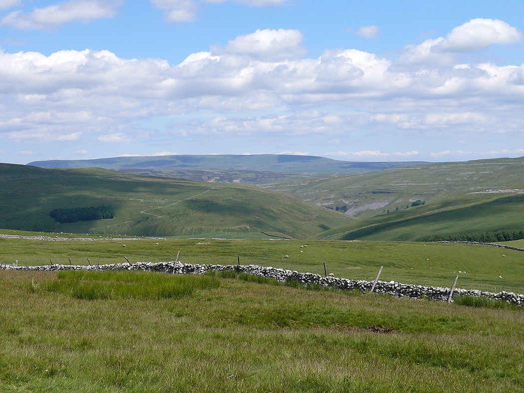
Great Whernside
Malham Tarn
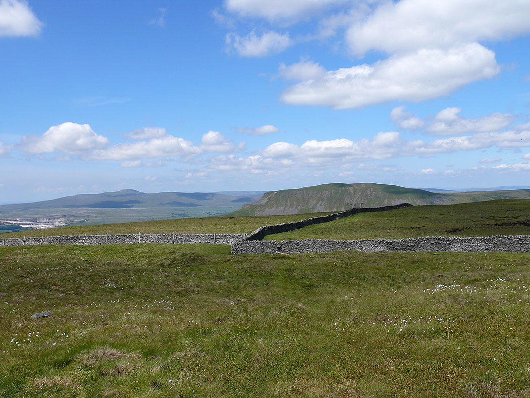
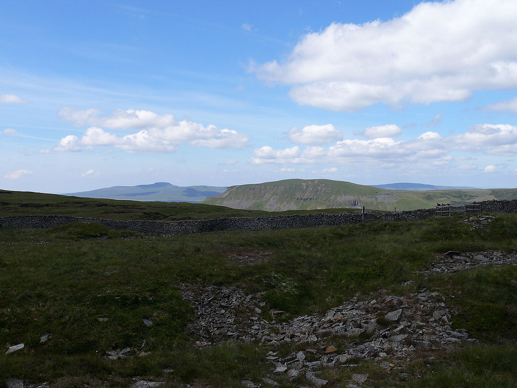
Ingleborough and Penyghent
Penyghent and Plover Hill
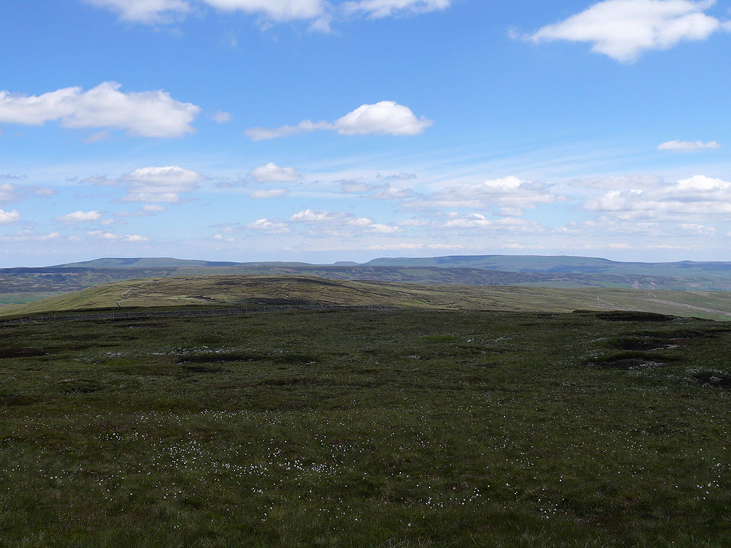
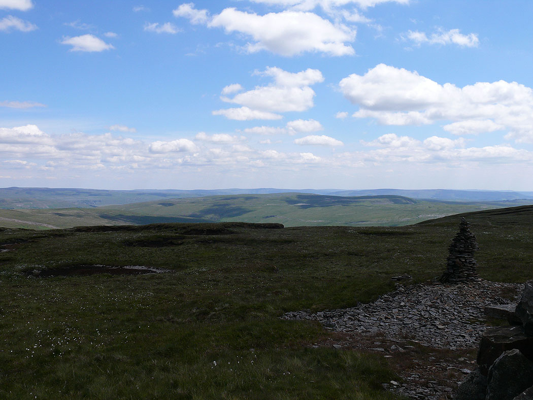
On the summit of Fountains Fell. Buckden Pike and Great Whernside in the distance.
Ingleborough and Penyghent
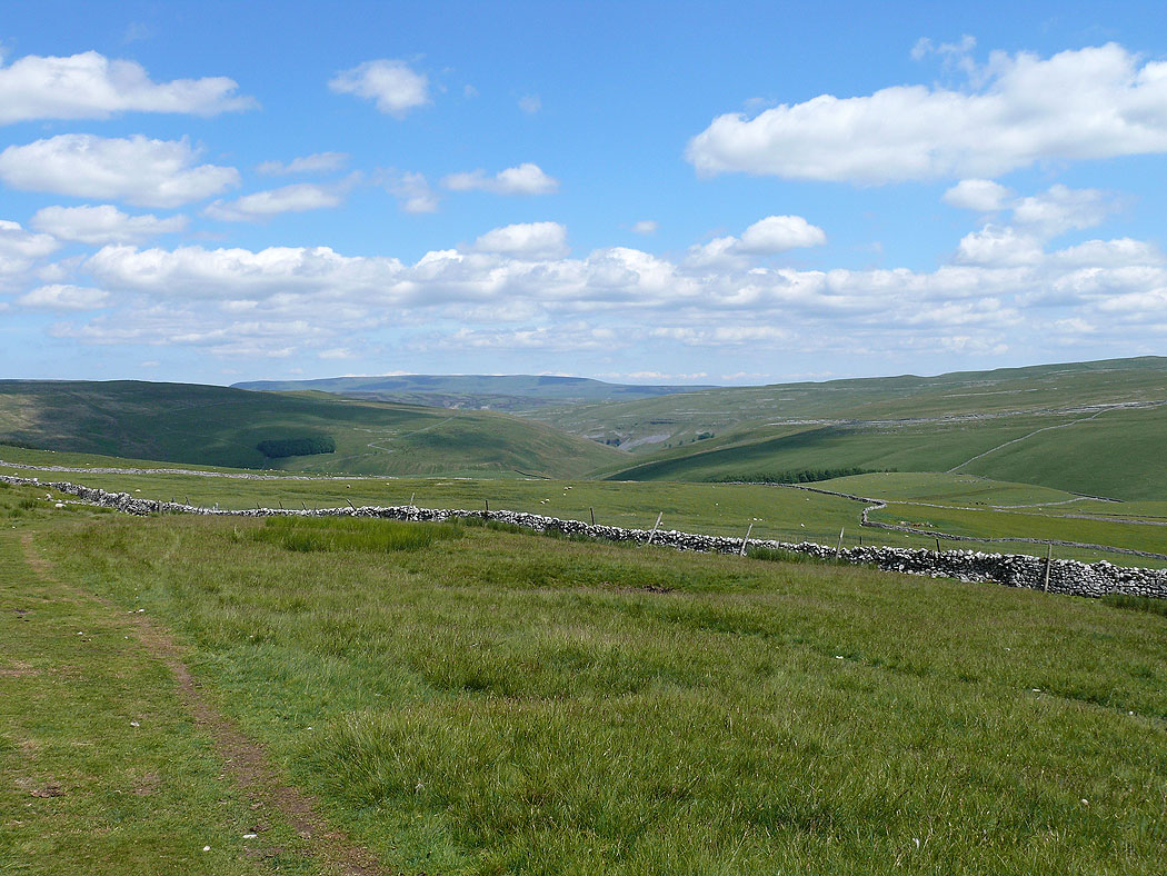
Heading back down on the Pennine Way
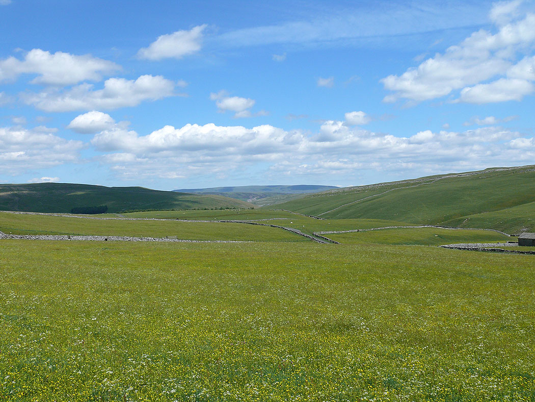
Great Whernside
