30th June 2018 - Great Shunner Fell
Walk Details
Distance walked: 12.9 miles
Total ascent: 1912 ft
OS map used: OL30 - Yorkshire Dales, Northern & Central areas and OL19 - Howgill Fells & Upper Eden Valley
Time taken: 6.5 hrs
Route description: Hawes-Pennine Way-Haylands Bridge-Brunt Acres Road-Pennine Way-Hardraw-Pennine Way-Cotterdale-East Gill-Jinglemea Bog-Crag End Beacon-Pennine Way-Great Shunner Fell-Pennine Way-Hardraw-Pennine Way-Brunt Acres Road-Haylands Bridge-Pennine Way-Hawes
Another weekend, and the hot and sunny weather continues. It was like that all week after my return to work from the Lakes. Just a month after my first visit to Hawes in Wensleydale I've decided to head there again and tackle Great Shunner Fell. I have been to the top of this fell before, just the once though and that was back in 2010 when I did Great Shunner Fell and Lovely Seat from Thwaite in Swaledale. Starting from Hawes means that the obvious and only sensible route I can take is by the Pennine Way there and back, though to make things more interesting I made my ascent via Cotterdale. With wall-to-wall blue skies and sunshine it was a great day for being on the fells and there was a brisk breeze high up to make things feel more comfortable.
From the car park at the Countryside Museum in Hawes I made my way out to Brunt Acres Road to pick up the trail of the Pennine Way. I followed this north across Haylands Bridge, left it for a short while for a path on the left that's a short-cut, to pick it up again to reach Hardraw. I kept on the Pennine Way on leaving Hardraw to head up onto the south ridge of Great Shunner Fell. Soon after entering access land I left the trail for a footpath on the left signposted to Cotterdale. This heads down into and up the valley to reach the hamlet of Cotterdale. At the top end of Cotterdale I crossed the bridge over East Gill and took the bridleway signposted for Jinglemea Bog. This heads up through conifer plantations and onto the western slopes of Great Shunner Fell's south ridge where I picked up a path up to Crag End Beacon. I then followed the Pennine Way north to the summit of Great Shunner Fell. After having my lunch I followed the Pennine Way south back to Hardraw, where I stopped for an ice-cream at the Cart House tea-room. I then retraced my steps back to Hawes.
Route map
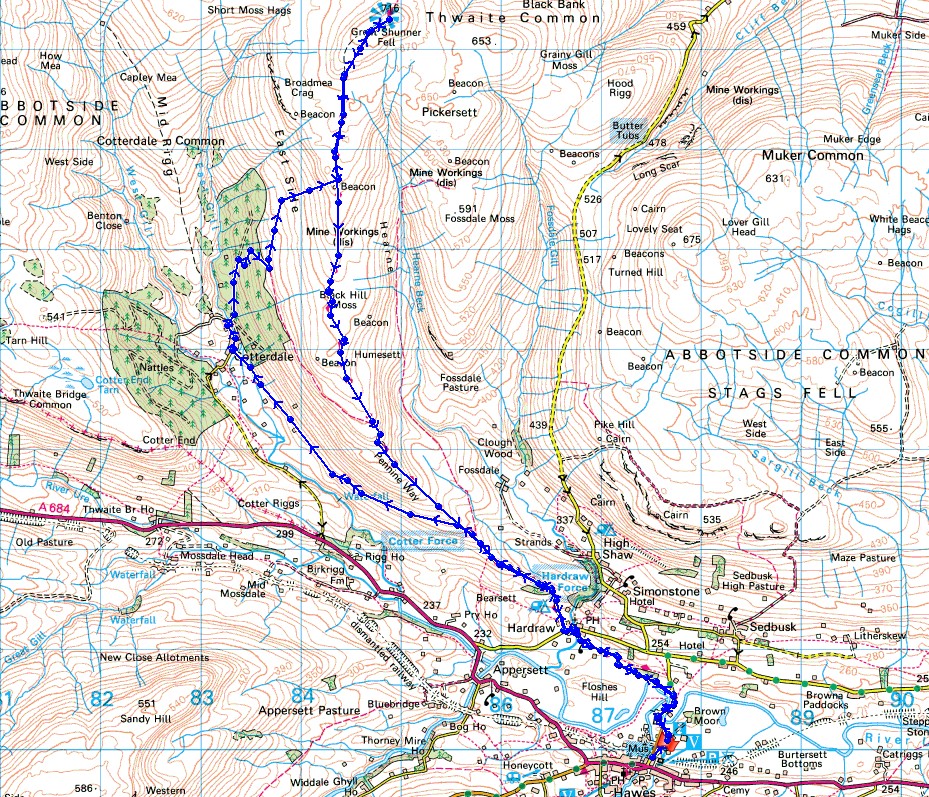
© Crown copyright. All rights reserved. License number PU 100034184.
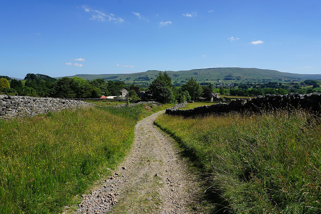
Leaving Hawes on the Pennine Way
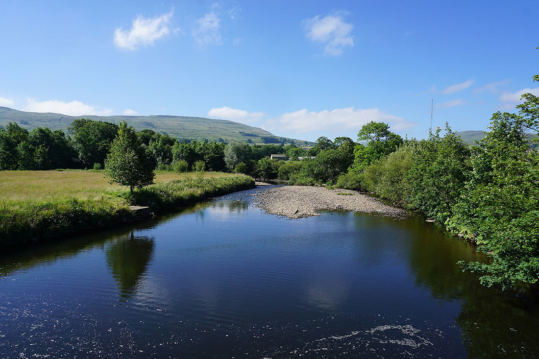
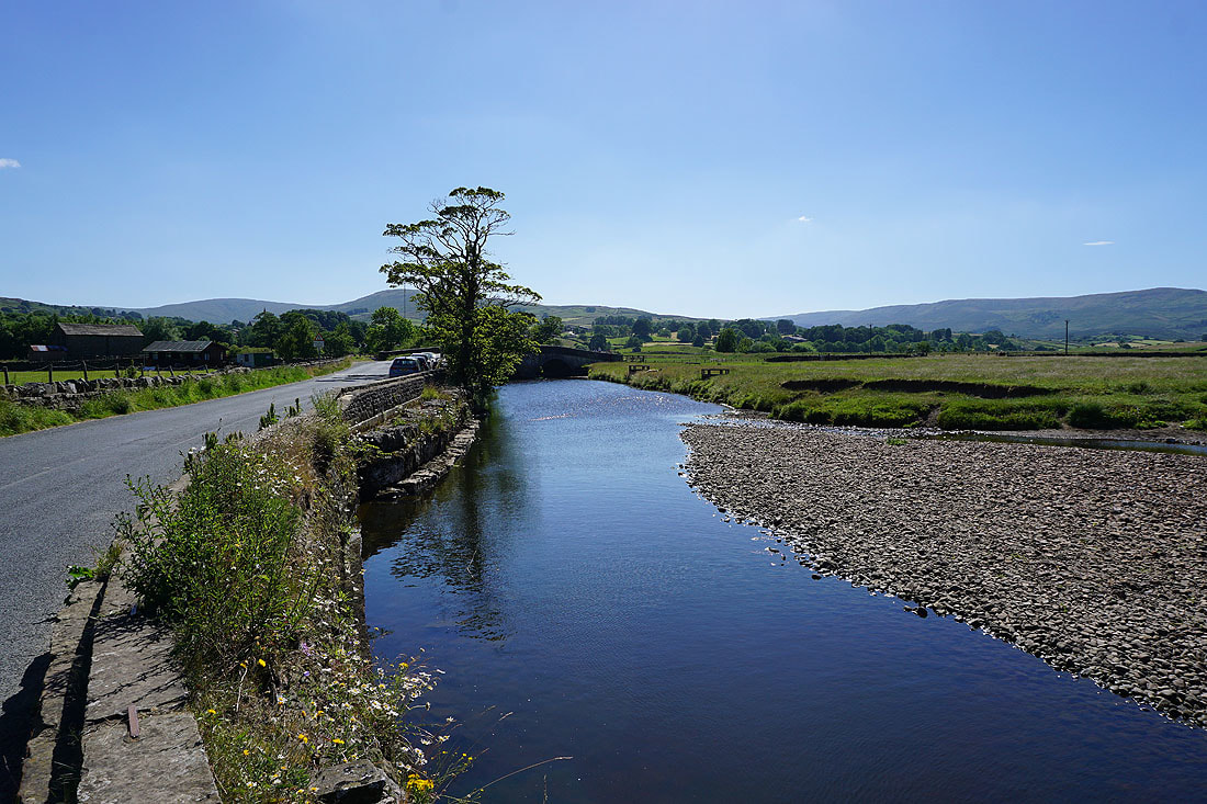
The River Ure from Haylands Bridge..
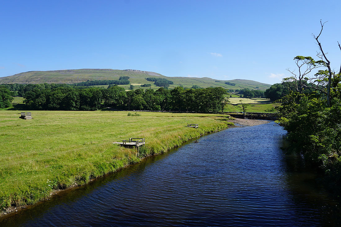
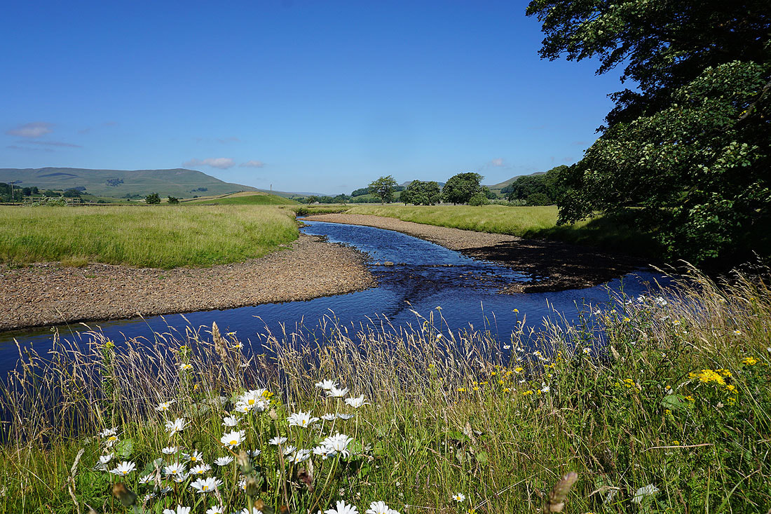
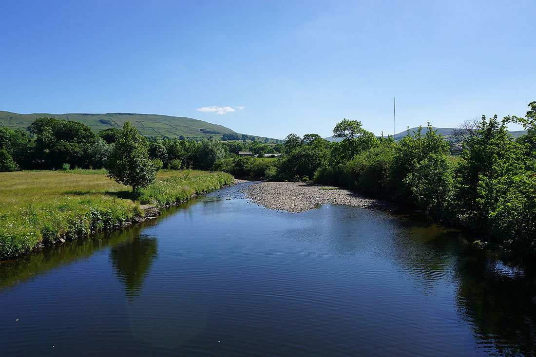
A couple more photos of the River Ure from Brunt Acres Road..
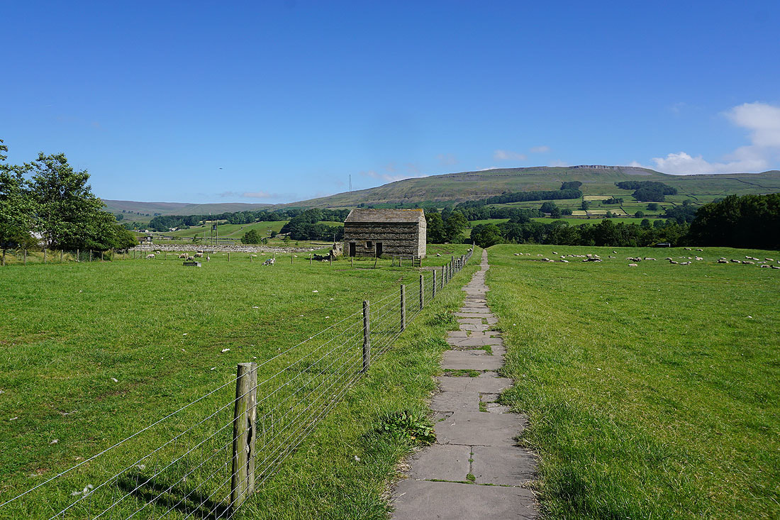
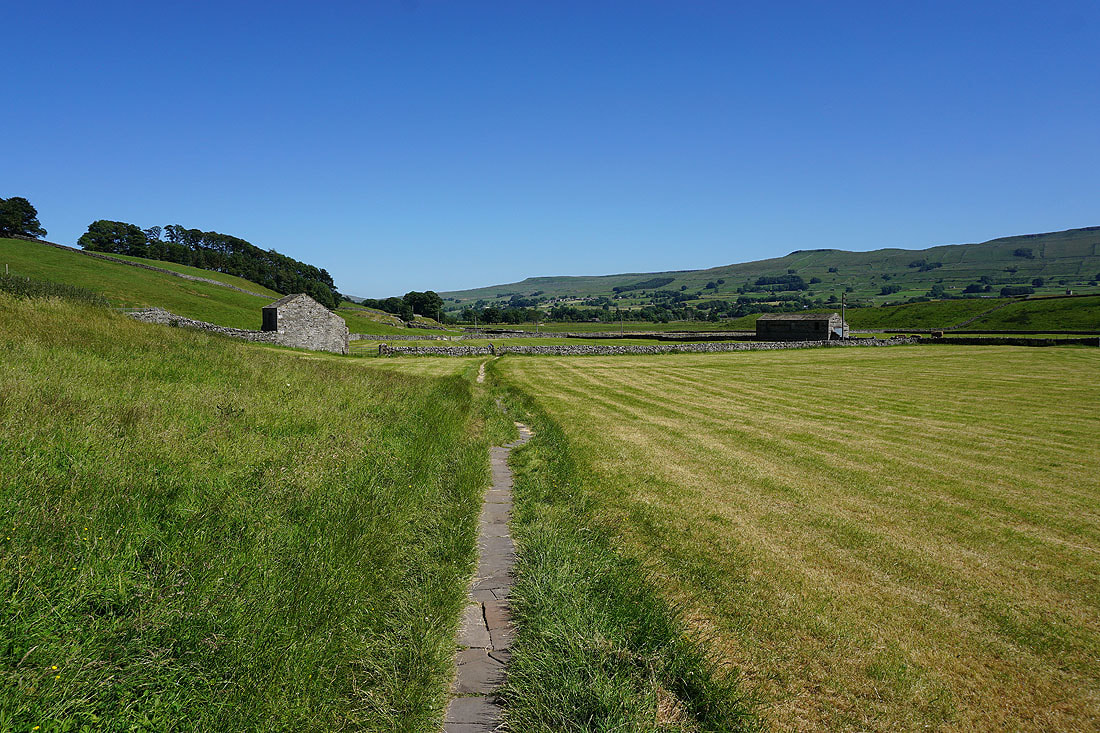
Brunt Acres Road was left for the path to Hardraw
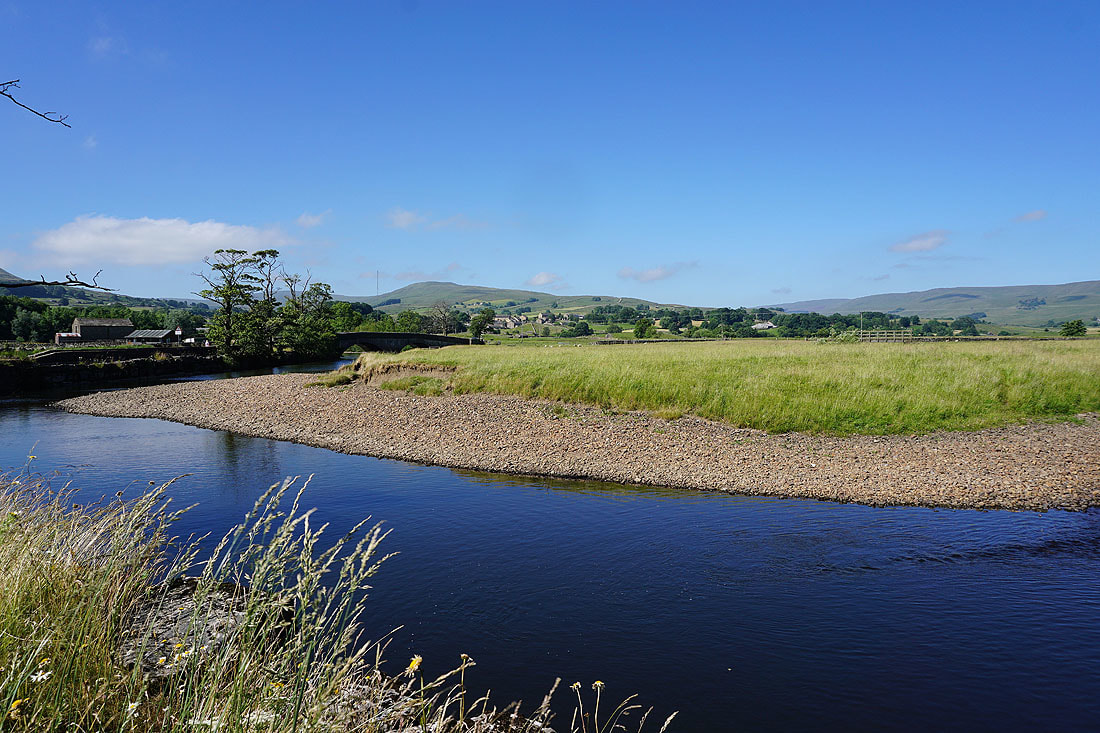
The River Ure with Burtersett High Pasture and Yorburgh in the distance
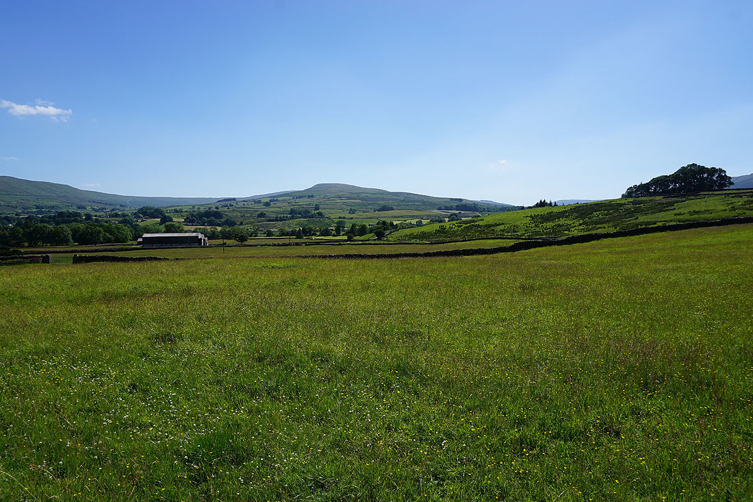
Looking south towards Dodd Fell Hill and Ten End
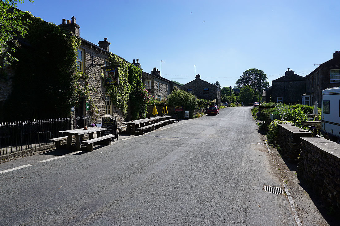
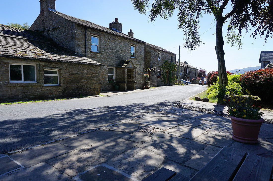
The Green Dragon pub in Hardraw
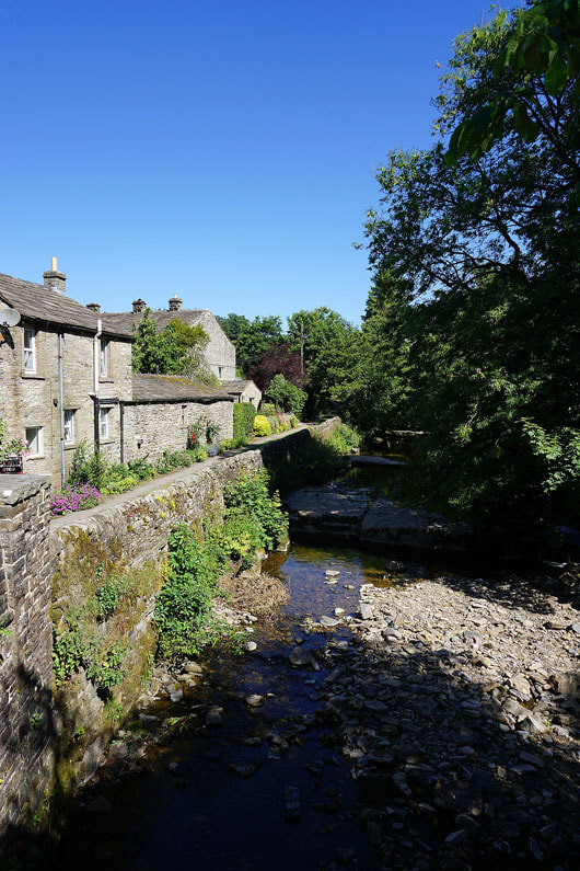
Hardraw Beck
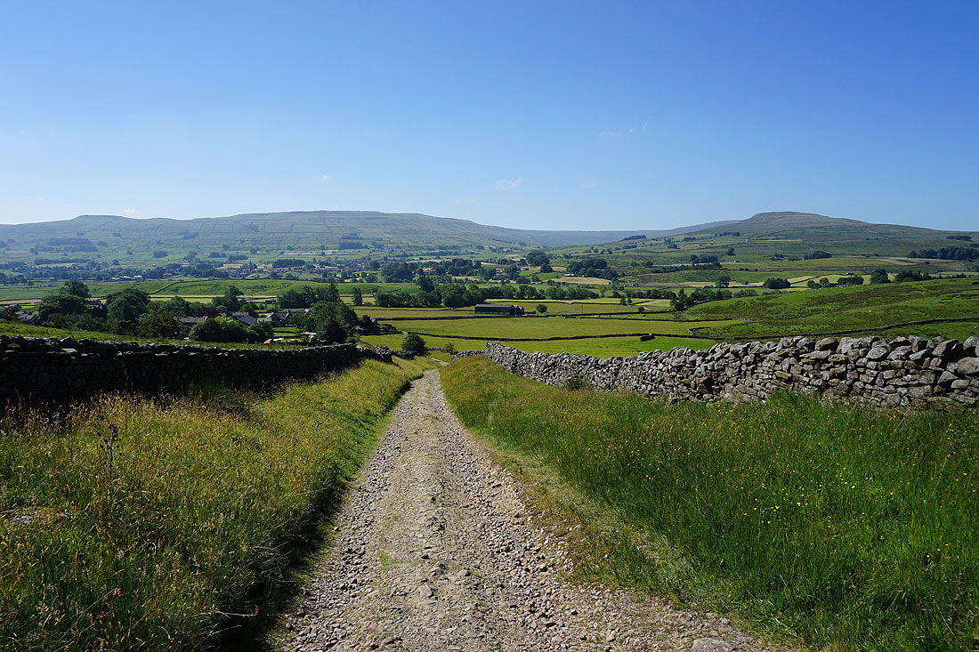
Ten End in the distance as I leave Hardraw on the Pennine Way
Turning round as I gain height and the view has opened out across Wensleydale to Wether Fell
Onwards and upwards
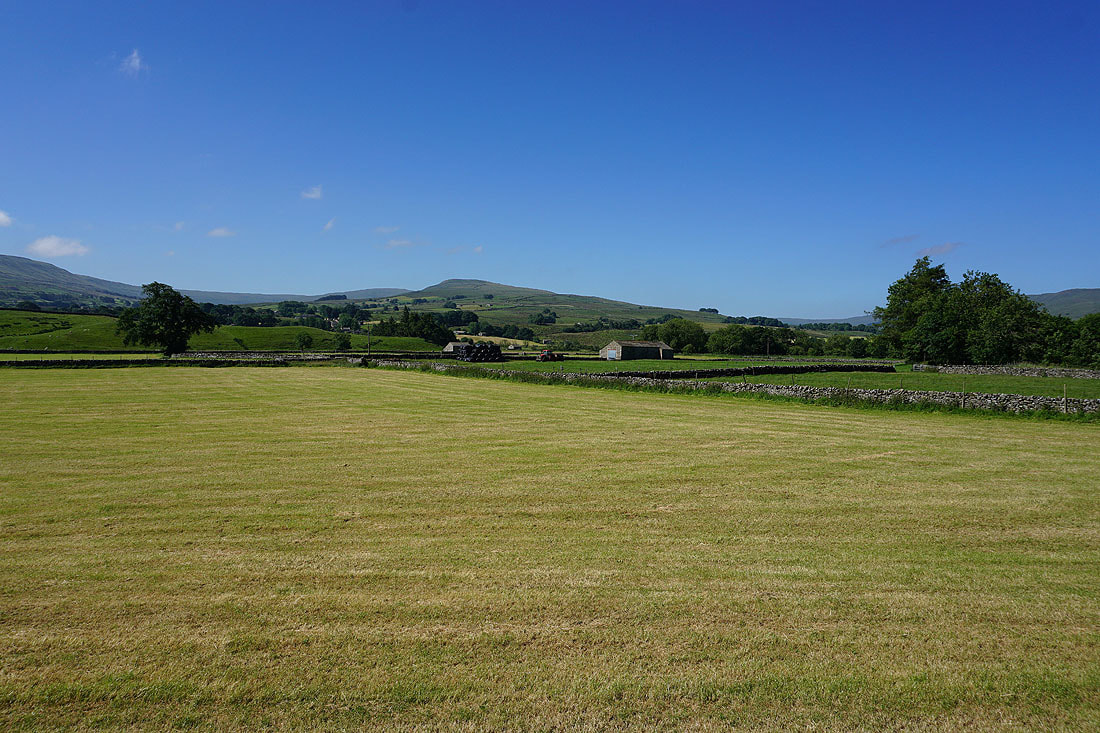
Looking towards the western end of Wensleydale and Baugh Fell
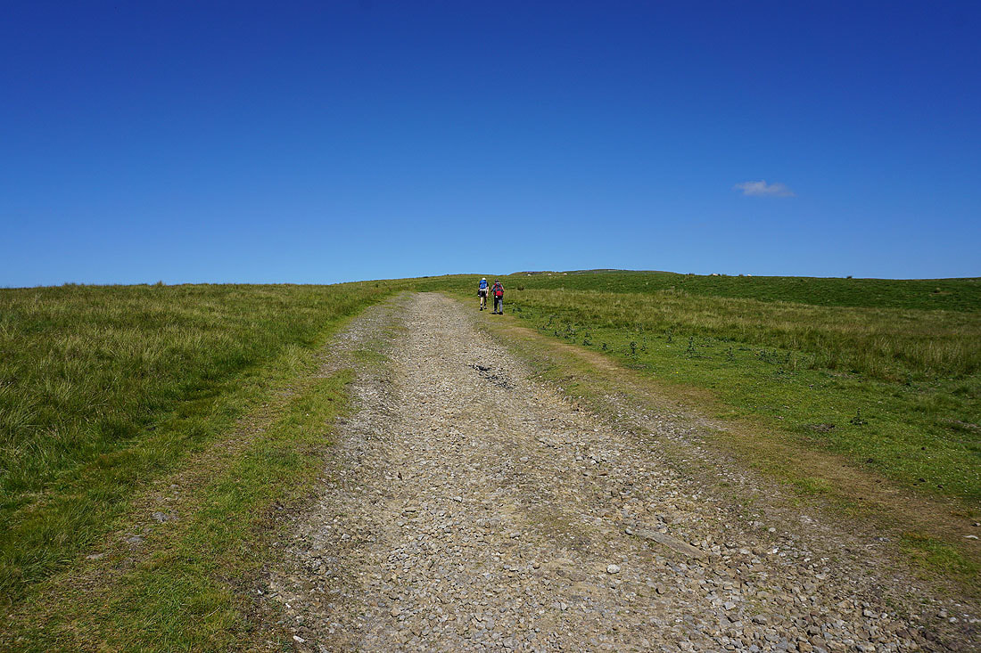
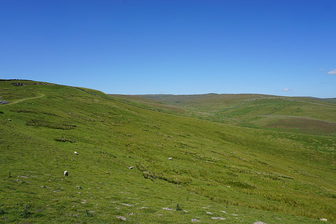
Onto the open fell
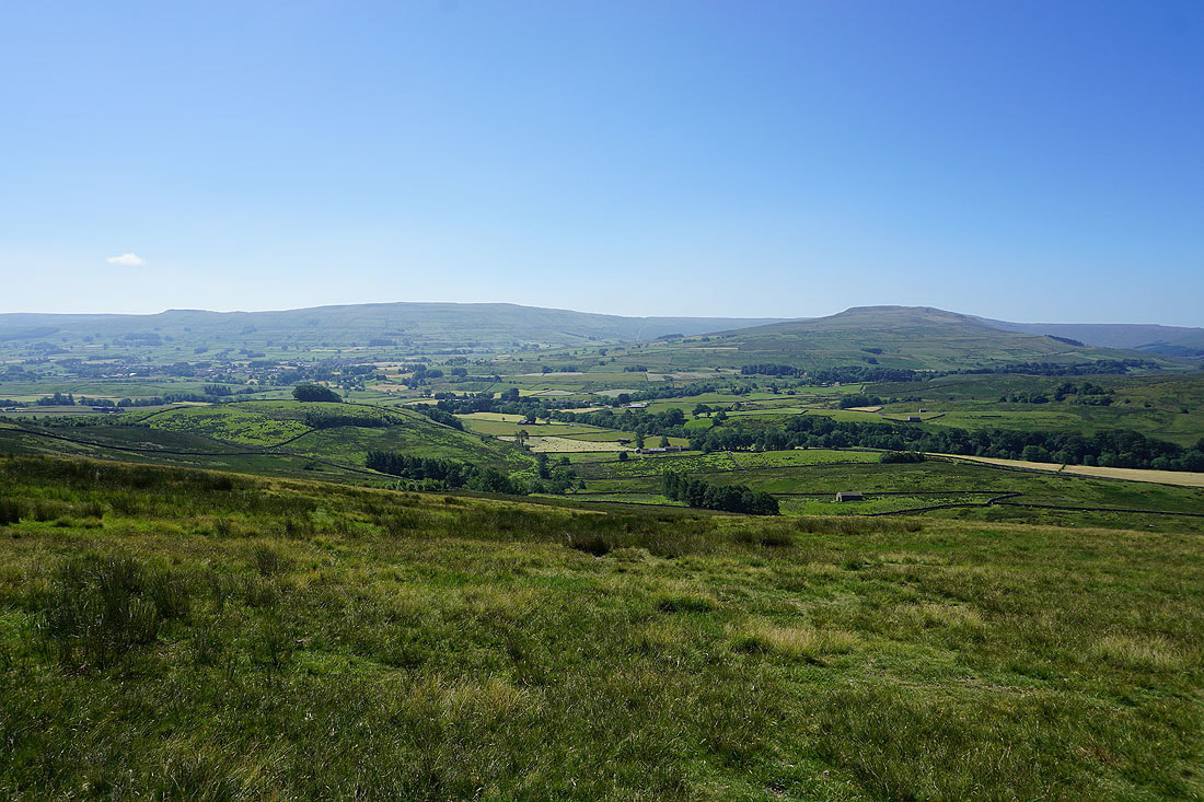
Wether Fell, Wensleydale and Ten End
Ten End, Dodd Fell Hill, Snaizeholme Fell, the top of Ingleborough and the northern end of Widdale Fell
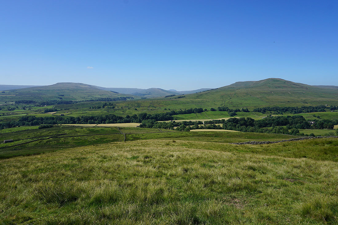
The northern end of Widdale Fell, Garsdale Common, the western end of Wensleydale, Baugh Fell and Cotter End..
..as I round the corner into the valley of Cotter Dale
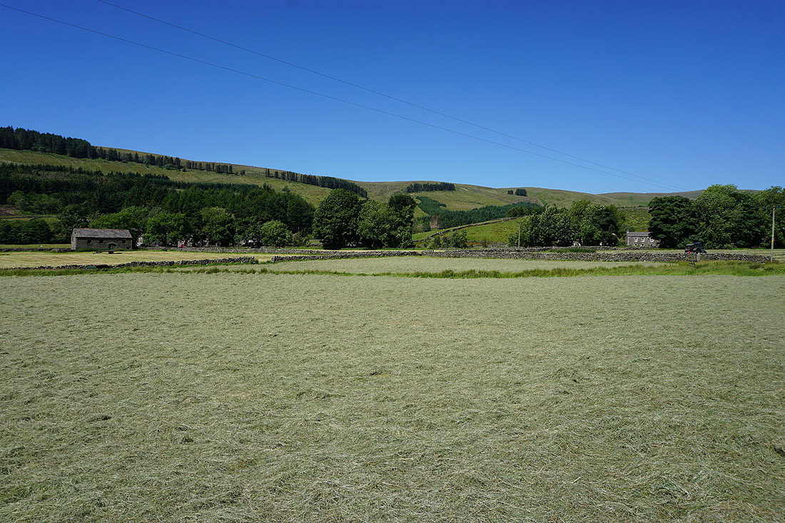
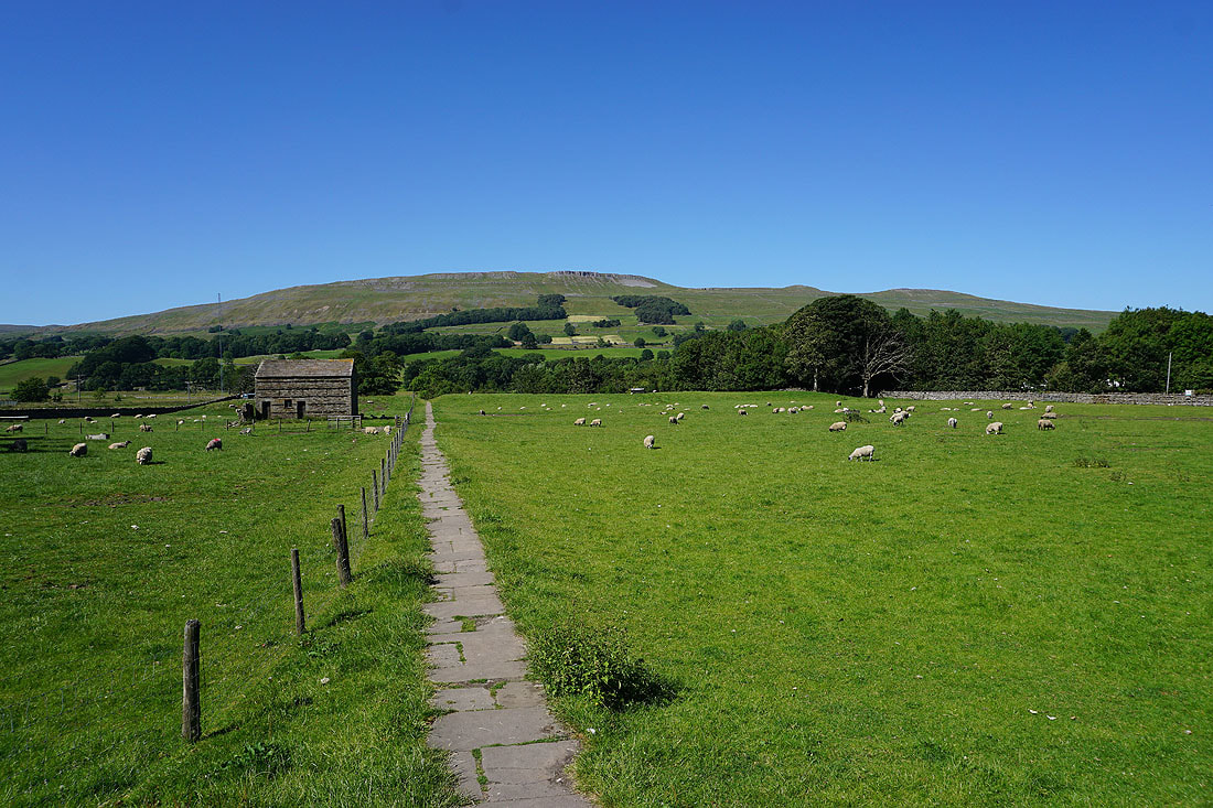
Freshly mowed fields in Cotter Dale
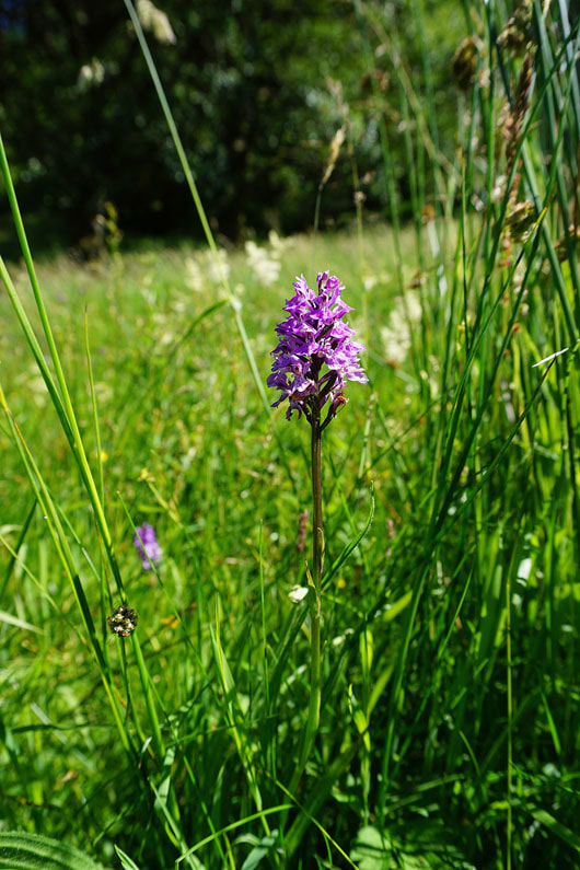
A common spotted orchid (maybe)
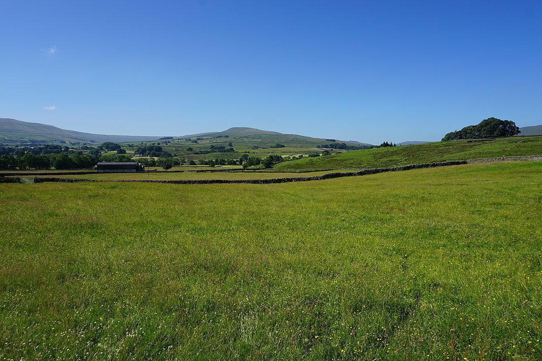
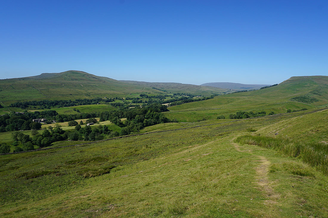
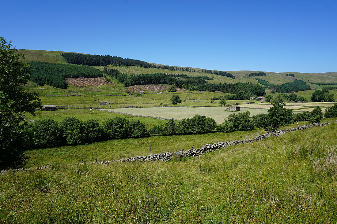
Cotter Dale on a beautiful summer's morning
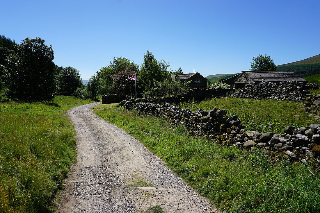
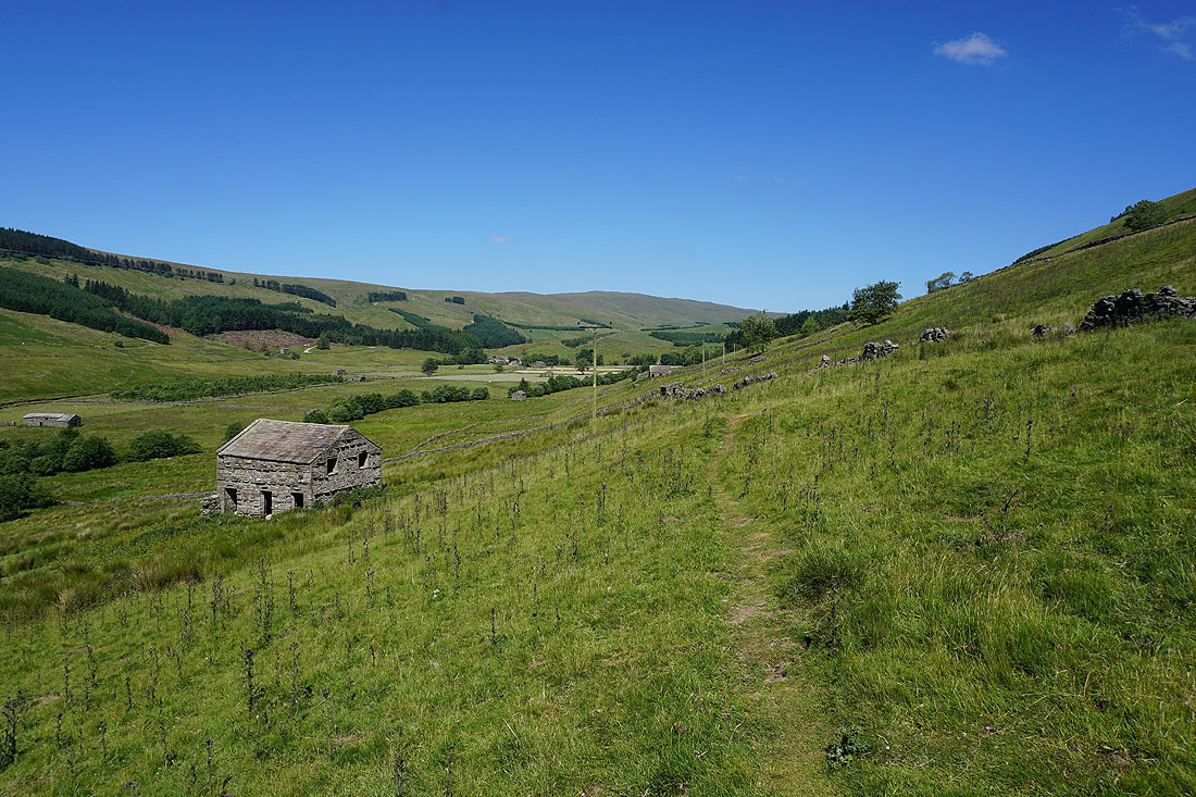
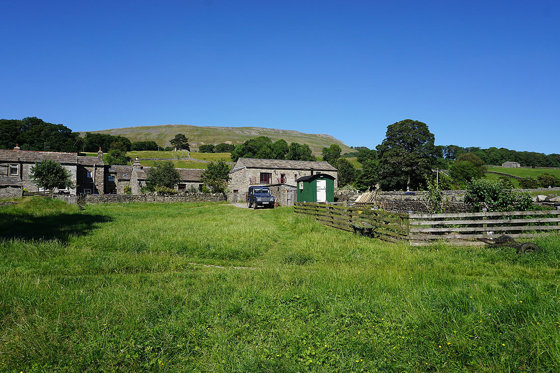
The last of the dwellings in Cotterdale are left behind
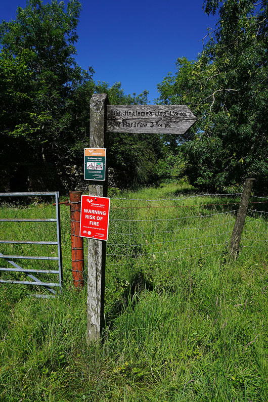
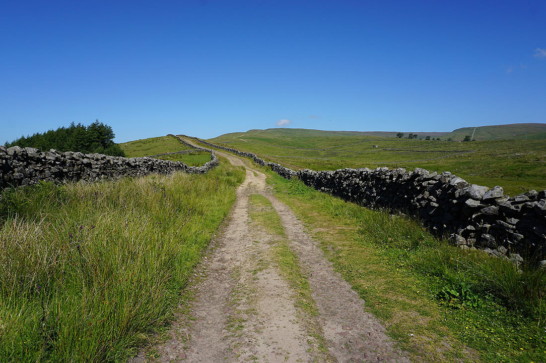
The bridleway to Jinglemea Bog climbs through conifer plantations
|
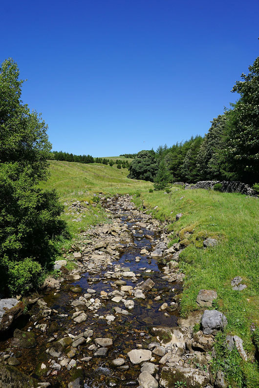
Crossing East Gill
|
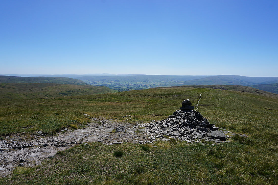
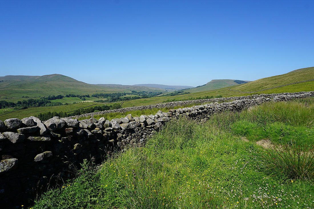
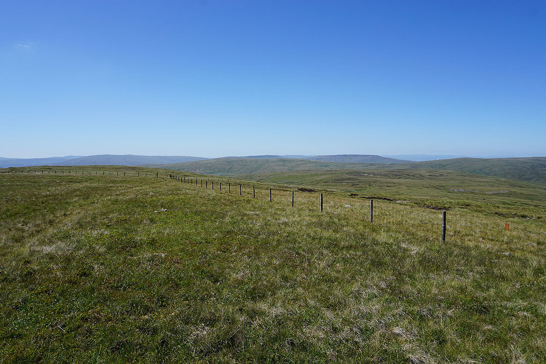
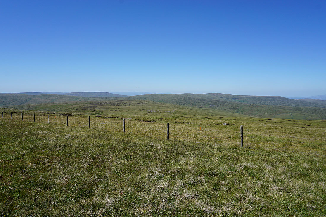
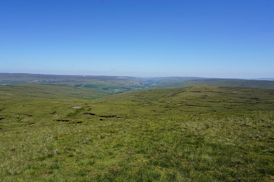
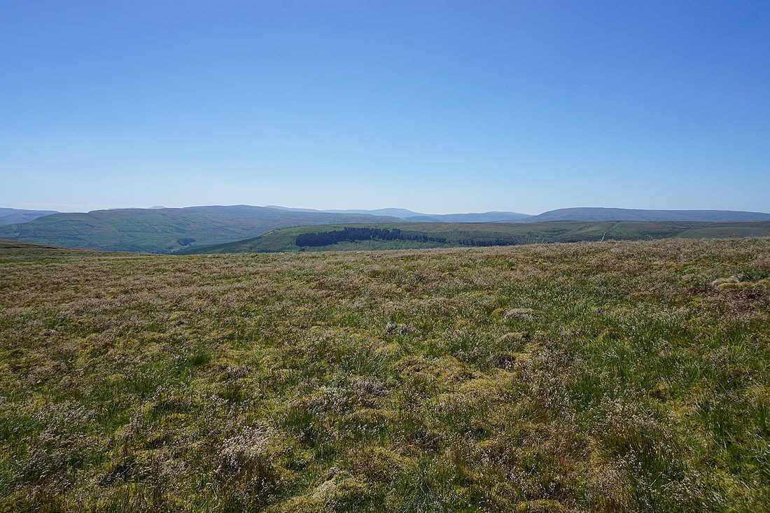
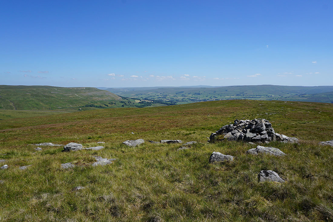
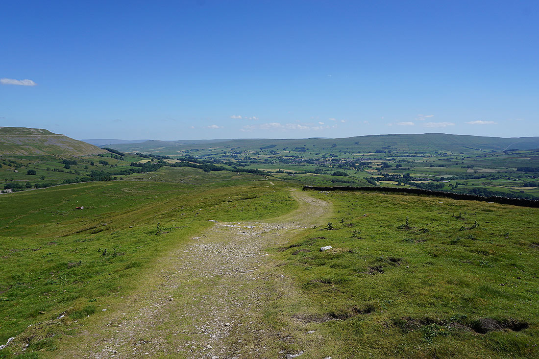
Some time later and I arrive at the cairn of Crag End Beacon on Great Shunner Fell's south ridge, where I'm treated to a great view south across Wensleydale..
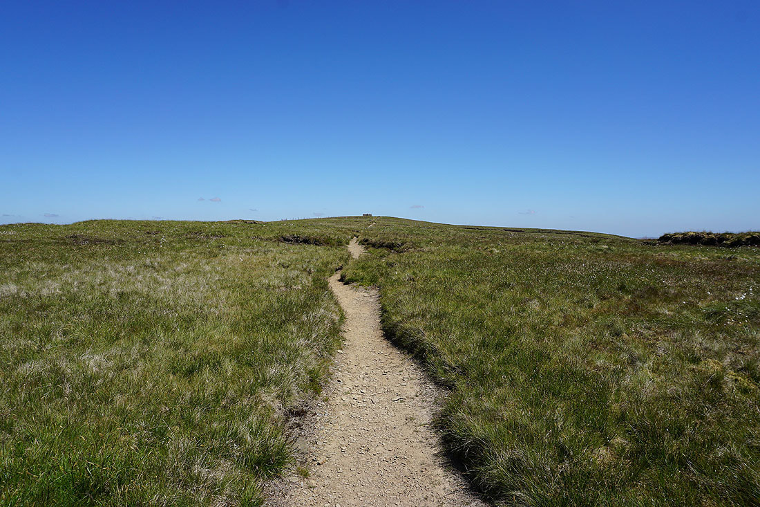
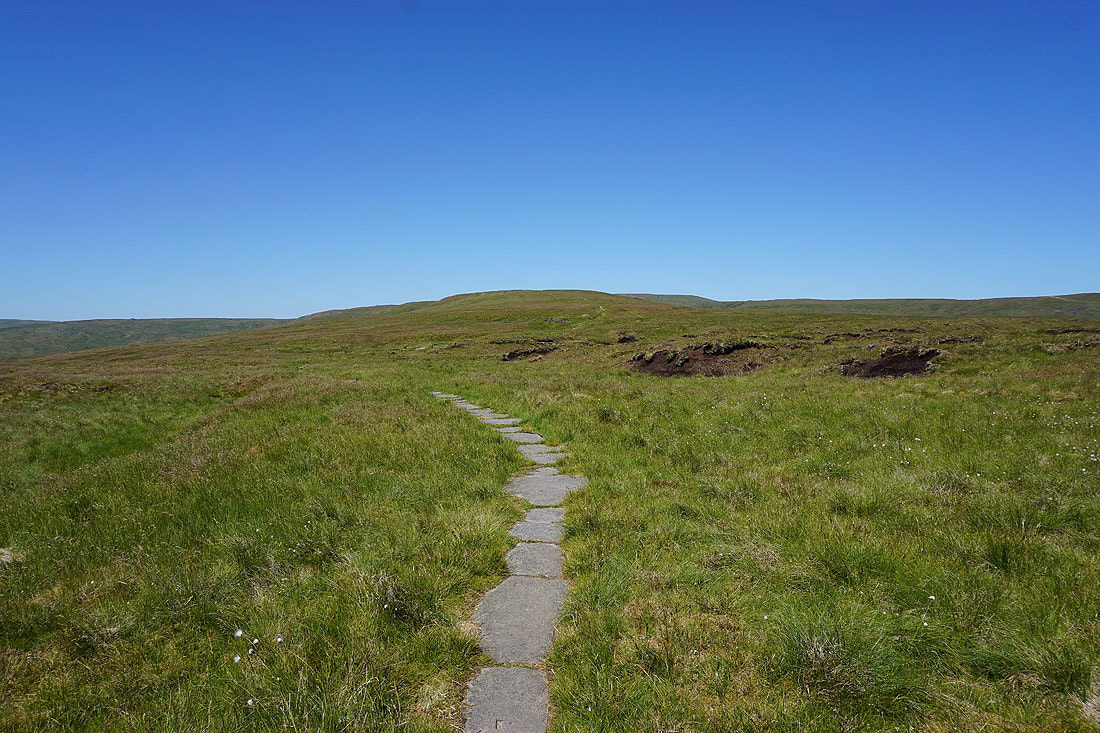
Approaching the cross shelter on the summit of Great Shunner Fell
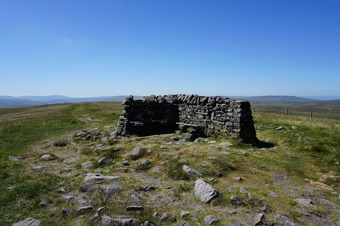
The currently unoccupied shelter on Great Shunner Fell. A few people joined me while I was here having my lunch but it was much quieter than a few other summits in the Dales probably were at this moment.
There's a great view from up here today. Looking south with Lovely Seat on the left, Wensleydale, and I think the high fell way in the distance is Buckden Pike.
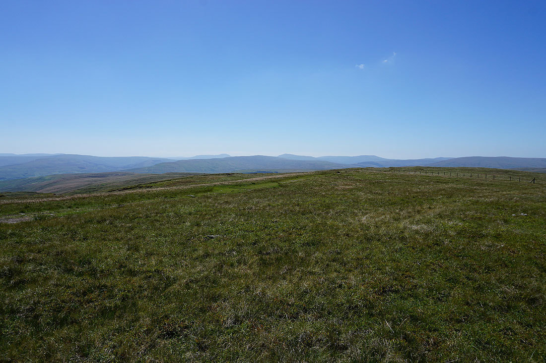
Dodd Fell Hill, Ingleborough, Great Knoutberry Hill, Whernside and Great Coum to the southwest
Baugh Fell, Lunds Fell and Wild Boar Fell to the west
Wild Boar Fell and High Seat with the faint outline of the Lake District fells between them
High Seat and Nine Standards Rigg with the North Pennines in the distance
The fells above upper Swaledale
and finally, I walked a short distance east to get this view down Swaledale
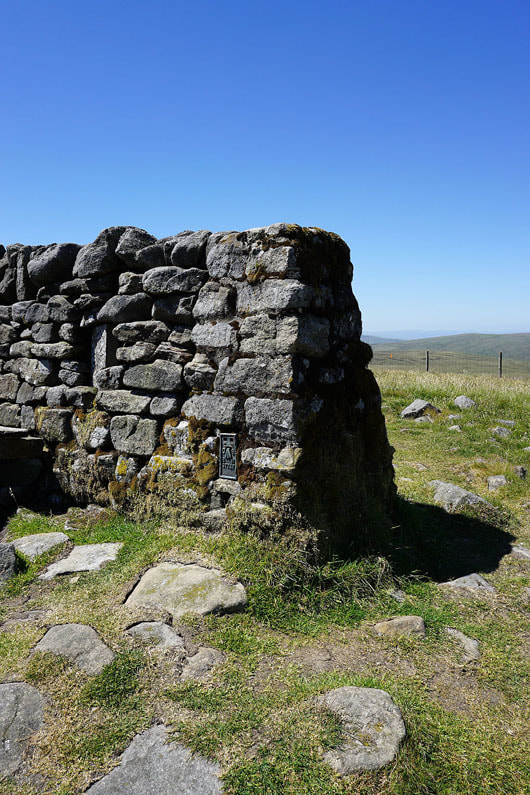
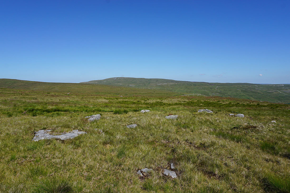
If you're wondering where the trig point is, the shelter has been built onto it
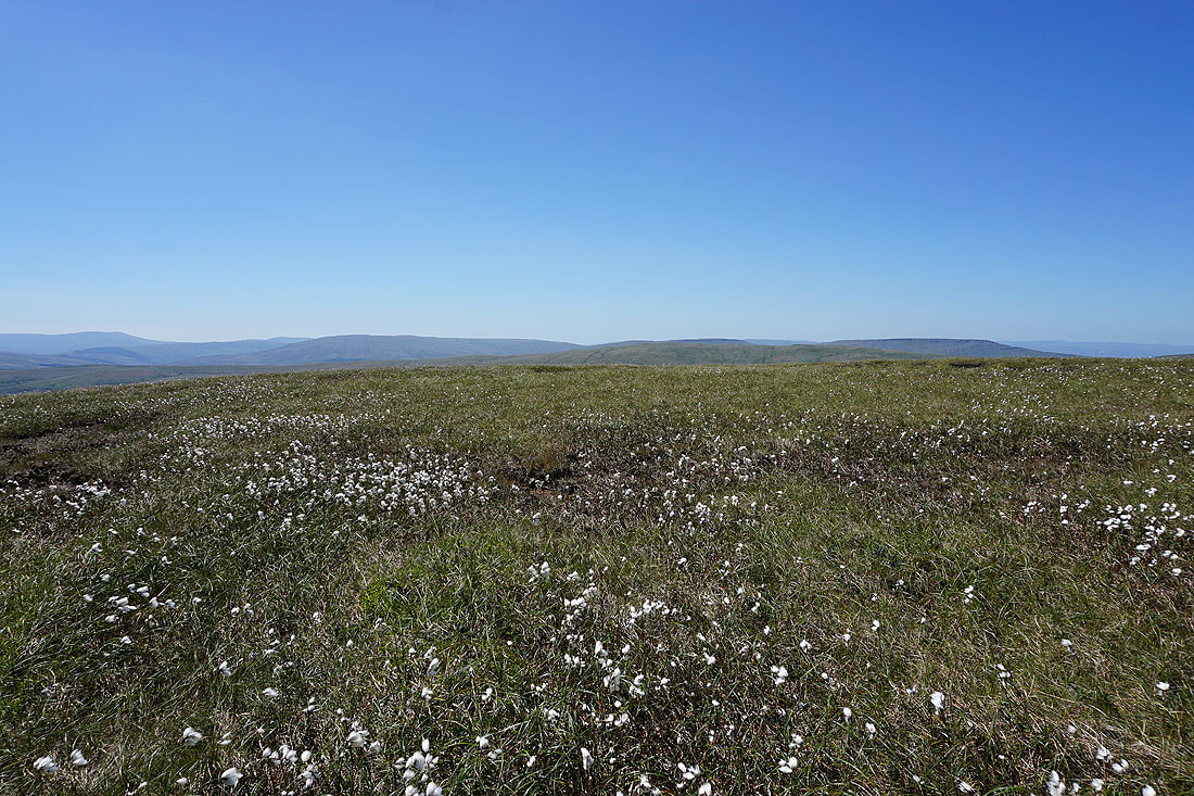
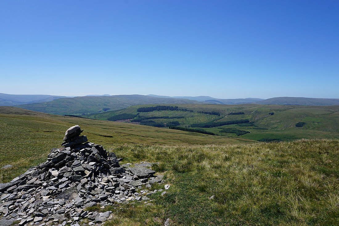
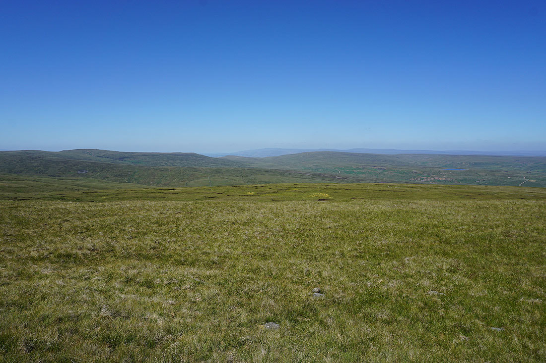
Baugh Fell, Lunds Fell and Wild Boar Fell across a sea of cotton grass as I start to head back down
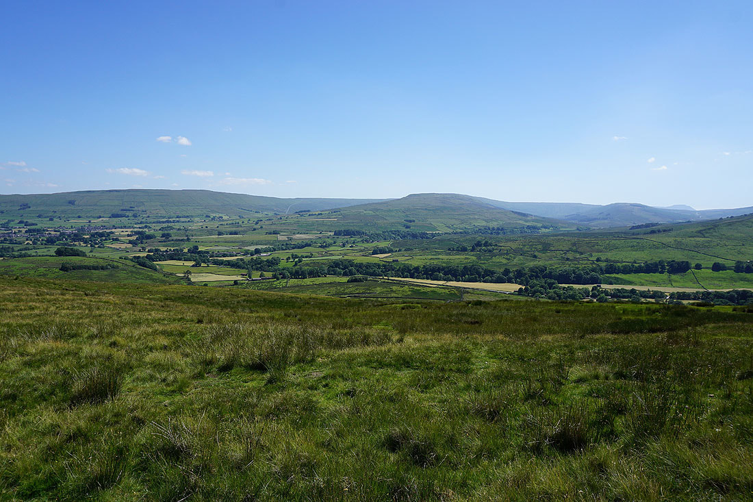
Wensleydale ahead as I walk down the south ridge
Great Knoutberry Hill, Great Coum and Baugh Fell with moss and flowering grass in the foreground
Looking back towards the summit
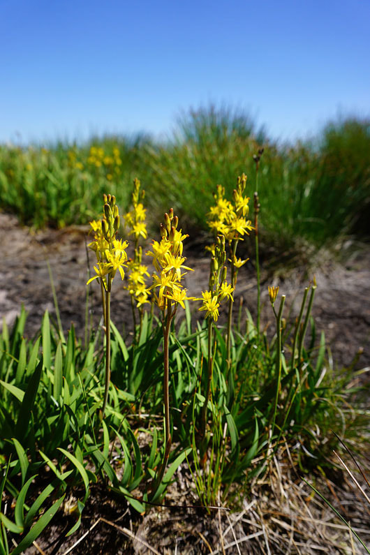
Bog Asphodel in flower
The neighbouring fell of Lovely Seat
High Clint, Wensleydale and Wether Fell
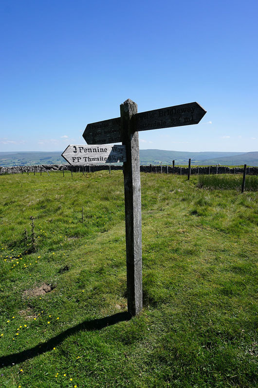
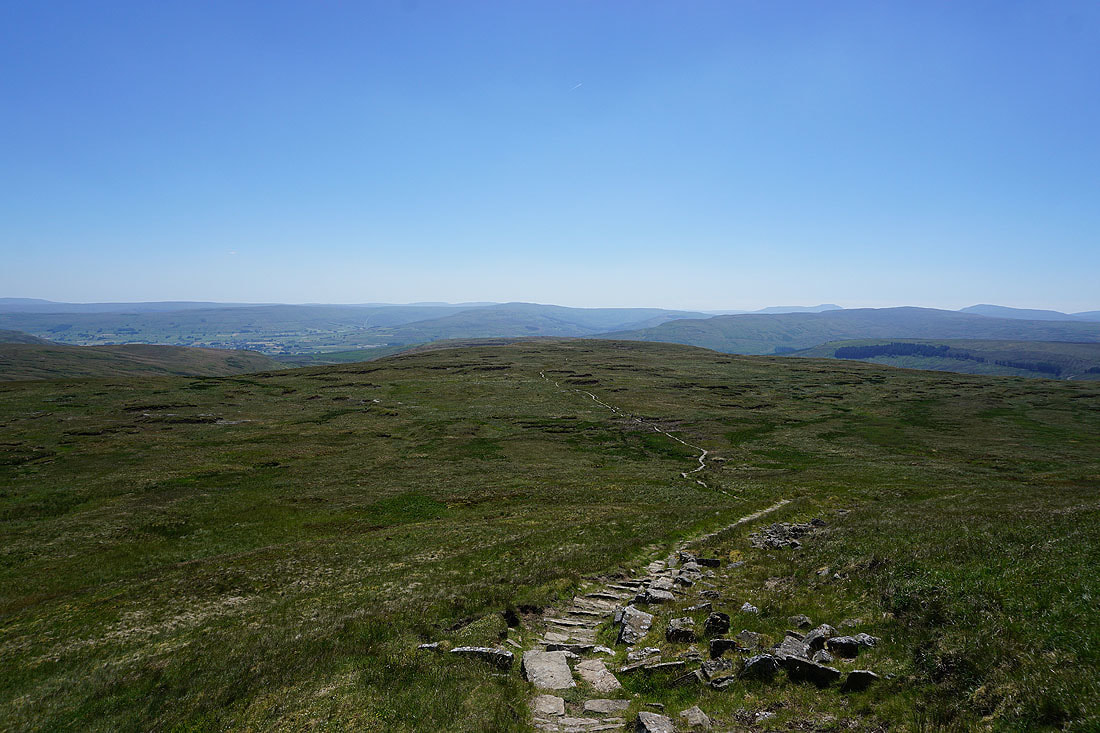
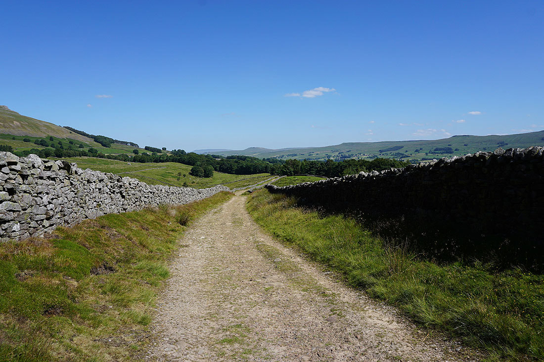
The Pennine Way meets the bridleway to Cotterdale
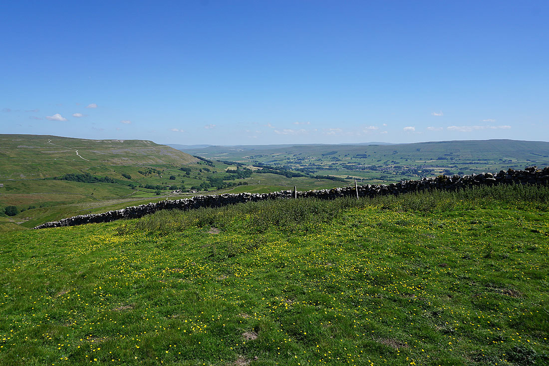
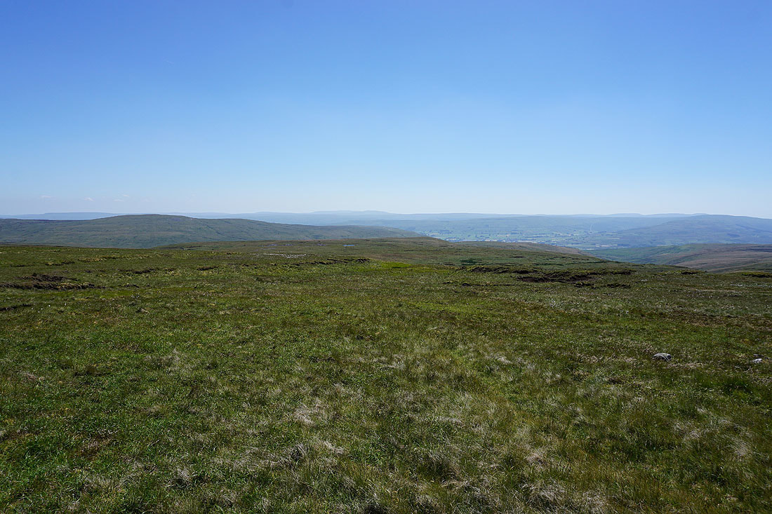
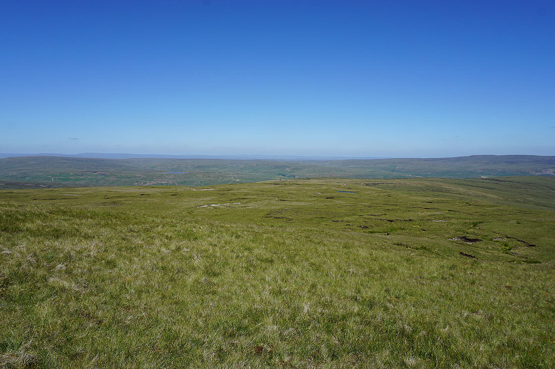
More of Wensleydale comes into view
The top of Great Shunner Fell and Pickersett Nab
On the Pennine Way down to Hardraw
Wether Fell, Dodd Fell Hill and Snaizeholme Fell
Back down to Hardraw...
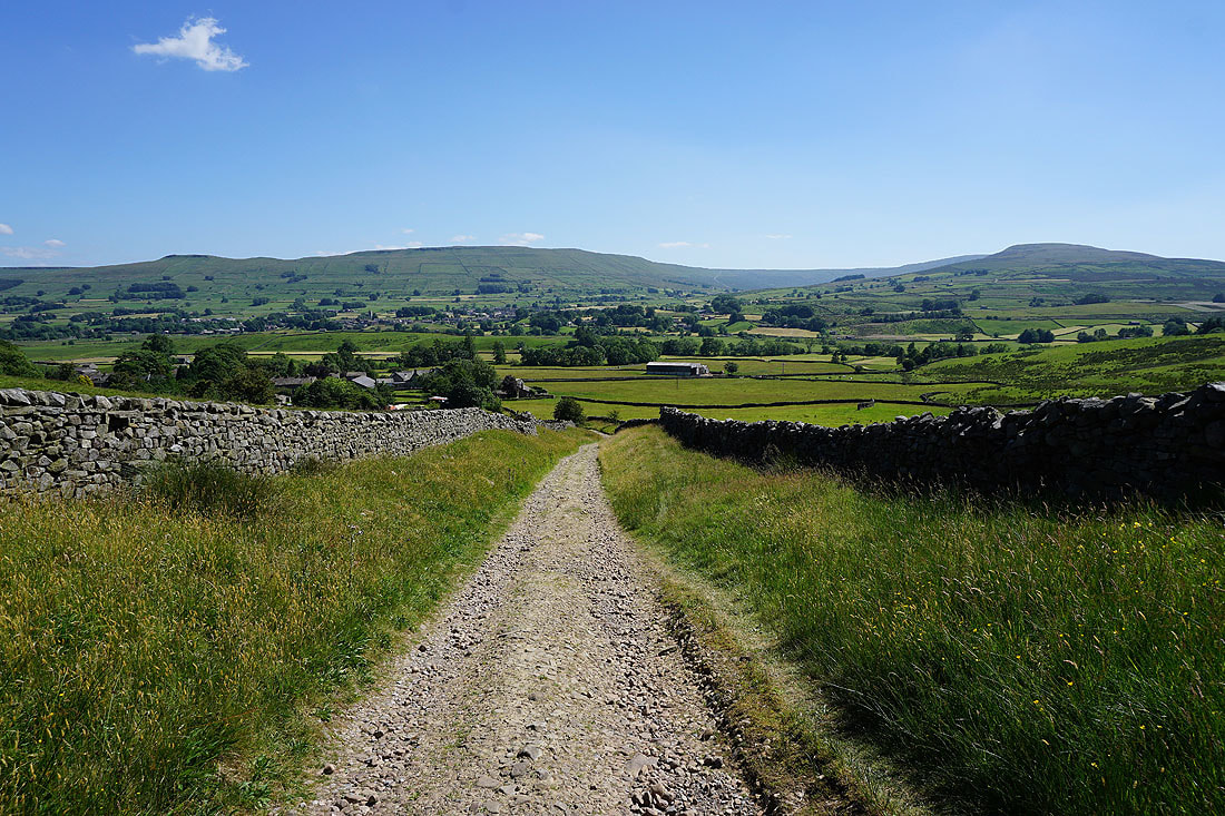
Looking across Wensleydale to Ten End
Sat outside The Cart House Tea Room in Hardraw enjoying an ice-cream
The fellside of High Clint above Hardraw
It's a glorious afternoon as I head back to Hawes
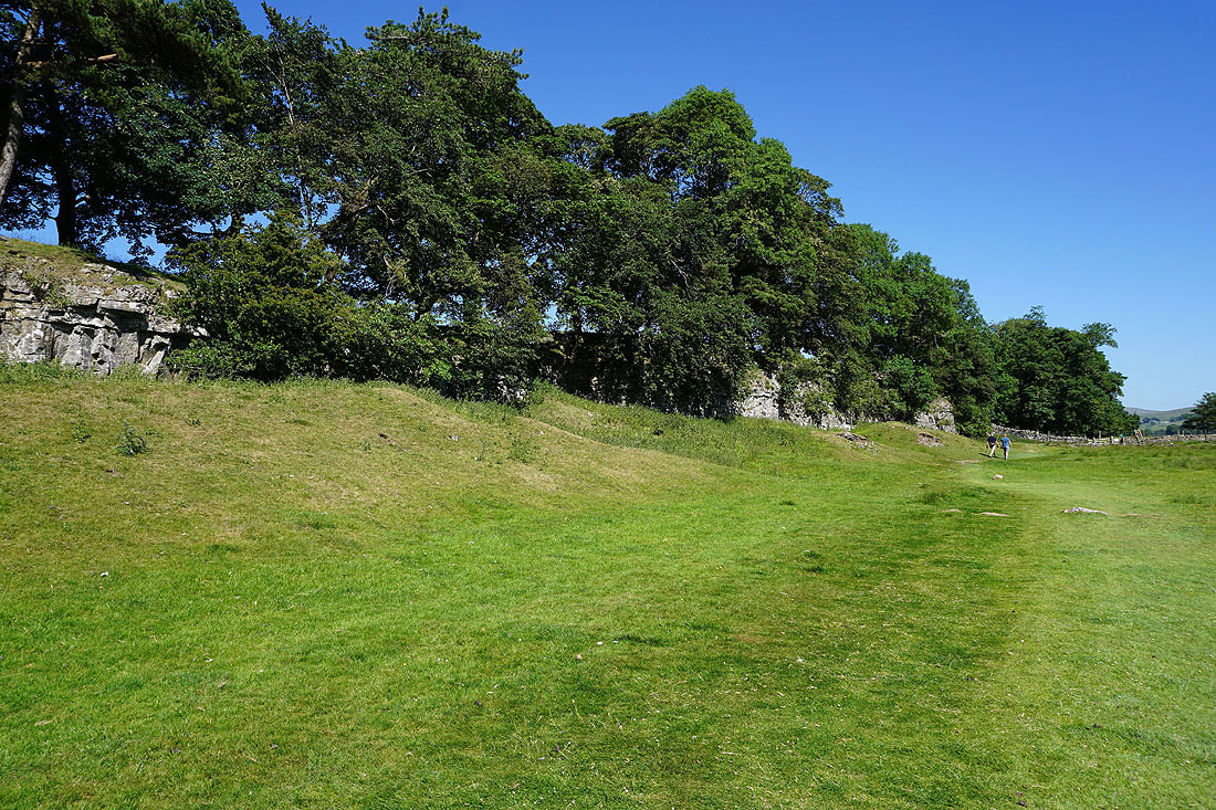
Trees atop a low limestone scar
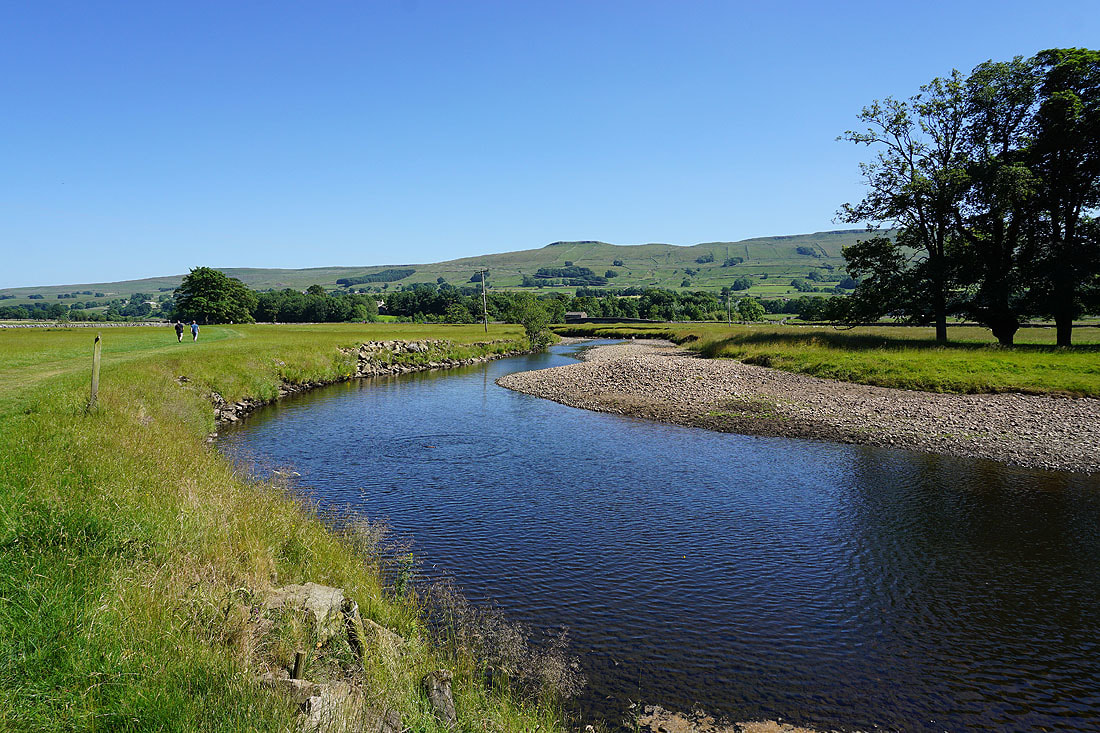
Yorburgh above a bend in the Ure
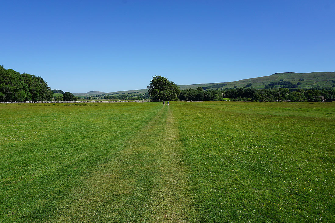
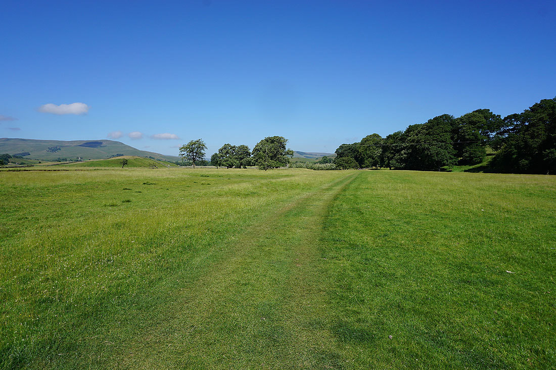
On the path to Brunt Acres Road
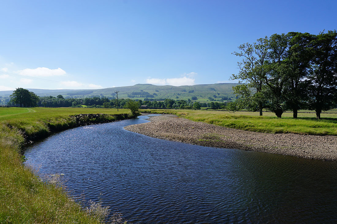
Haylands Bridge and the Ure from Brunt Acres Road
The River Ure from Haylands Bridge
A last look back to the fellside of High Clint as I return to Hawes