30th June 2019 - Around Kirkby Malzeard Moor
Walk Details
Distance walked: 15.4 miles
Total ascent: 1943 ft
OS map used: 298 - Nidderdale
Time taken: 6.5 hrs
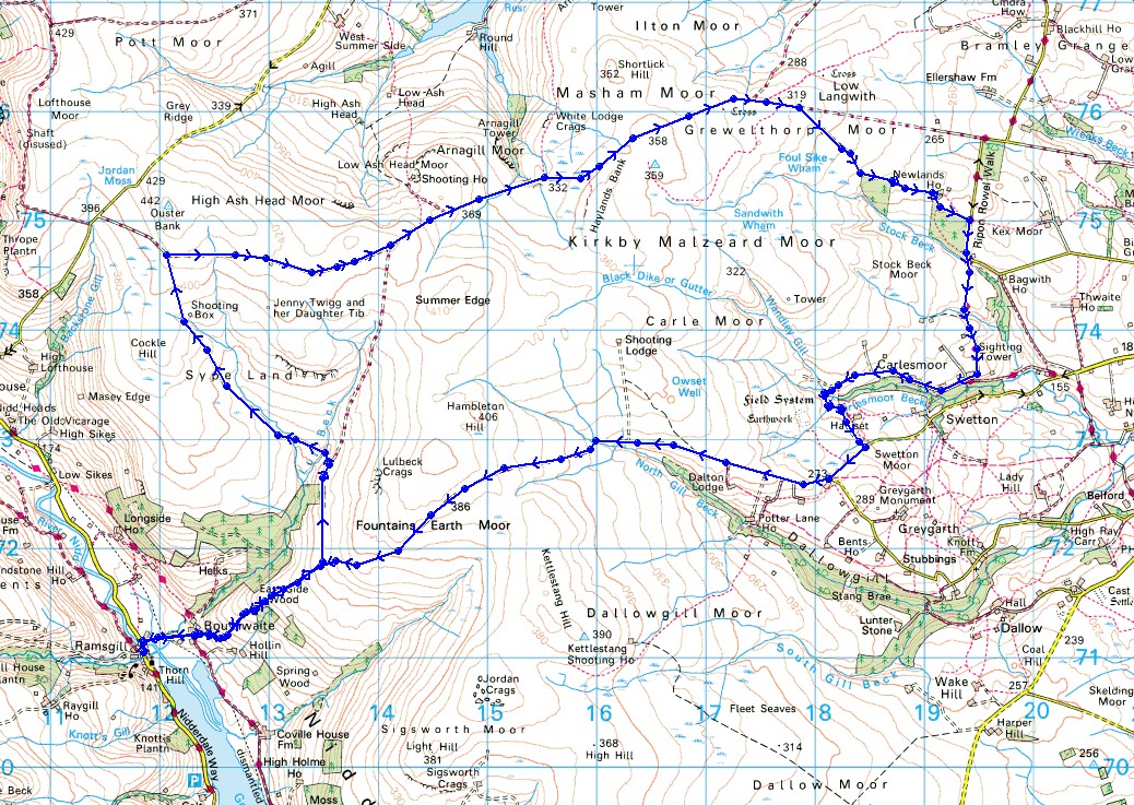
Route description: Ramsgill-Bouthwaite-Sype Land-Arnagill Moor-Grewelthorpe Moor-Newlands House-Brown Bank Road-Stock Beck Moor-Carlesmoor-Carlesmoor House Farm-Swetton Moor-Stope Bridge-Covill House Moor-Bouthwaite-Ramsgill
I'm certainly glad that I didn't try doing this walk yesterday, it was far too hot and humid for one of this length. I wouldn't have enjoyed it and I probably would have run out of water as well, which would have been even worse. The weather today was a complete contrast from yesterday. The heat has gone, as well as the sunshine, and it was windy up on the moors, no danger of overheating. The route that I had planned for today would continue my exploration of Nidderdale, taking in some of the moorland on the eastern side of the dale, and which separates it and Lower Wensleydale. Although I had a lot of miles to cover, most of the route was easy going with a lot of it on byways or tarmacked roads, so a good pace was set and I could eat up the miles. Another plus point from losing the heat was an improvement in the visibility, it was so good I could easily make out the North York Moors to the east on the other side of the Vale of Mowbray.
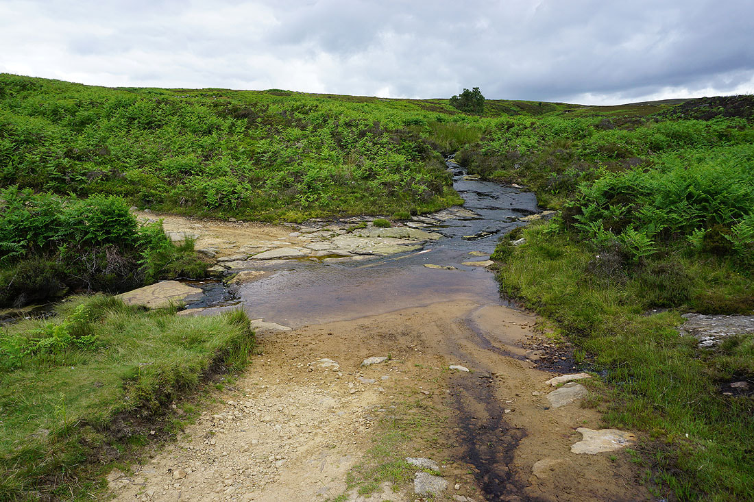
After parking in Ramsgill I briefly walked north along the road to Nidd Bridge, where I turned right and walked along the road to Bouthwaite to its end. Now it was onto the byways to take me up and over the moors. From Bouthwaite I followed the byway uphill towards Fountains Earth Moor, turning left then left again at the junctions of byways I reached, then up across Sype Land to the junction of byways below Ouster Bank. Here I turned right and followed the byway east across Arnagill Moor to Grewelthorpe Moor, where I turned right and took the byway down to Newlands House Farm. I then walked along the road from Newlands House Farm to Brown Bank Road where I turned right and walked along this road to the next left turn, where I went straight on, taking the footpath across Stock Beck Moor to the hamlet of Carlesmoor. I then followed the road and then track west past Carlesmoor House Farm, onto the eastern edge of Carle Moor, then south across the ford over Carlesmoor Beck and out to the road over Swetton Moor, where I turned right and walked west along the road. At the next junction I went right and walked up the road to the end of the tarmac at Stope Bridge. I then continued west on the byway across Covill House Moor and down to the first junction of byways that I reached earlier in the day. From here I retraced my steps back to Ramsgill.
Total ascent: 1943 ft
OS map used: 298 - Nidderdale
Time taken: 6.5 hrs
Route description: Ramsgill-Bouthwaite-Sype Land-Arnagill Moor-Grewelthorpe Moor-Newlands House-Brown Bank Road-Stock Beck Moor-Carlesmoor-Carlesmoor House Farm-Swetton Moor-Stope Bridge-Covill House Moor-Bouthwaite-Ramsgill
I'm certainly glad that I didn't try doing this walk yesterday, it was far too hot and humid for one of this length. I wouldn't have enjoyed it and I probably would have run out of water as well, which would have been even worse. The weather today was a complete contrast from yesterday. The heat has gone, as well as the sunshine, and it was windy up on the moors, no danger of overheating. The route that I had planned for today would continue my exploration of Nidderdale, taking in some of the moorland on the eastern side of the dale, and which separates it and Lower Wensleydale. Although I had a lot of miles to cover, most of the route was easy going with a lot of it on byways or tarmacked roads, so a good pace was set and I could eat up the miles. Another plus point from losing the heat was an improvement in the visibility, it was so good I could easily make out the North York Moors to the east on the other side of the Vale of Mowbray.
After parking in Ramsgill I briefly walked north along the road to Nidd Bridge, where I turned right and walked along the road to Bouthwaite to its end. Now it was onto the byways to take me up and over the moors. From Bouthwaite I followed the byway uphill towards Fountains Earth Moor, turning left then left again at the junctions of byways I reached, then up across Sype Land to the junction of byways below Ouster Bank. Here I turned right and followed the byway east across Arnagill Moor to Grewelthorpe Moor, where I turned right and took the byway down to Newlands House Farm. I then walked along the road from Newlands House Farm to Brown Bank Road where I turned right and walked along this road to the next left turn, where I went straight on, taking the footpath across Stock Beck Moor to the hamlet of Carlesmoor. I then followed the road and then track west past Carlesmoor House Farm, onto the eastern edge of Carle Moor, then south across the ford over Carlesmoor Beck and out to the road over Swetton Moor, where I turned right and walked west along the road. At the next junction I went right and walked up the road to the end of the tarmac at Stope Bridge. I then continued west on the byway across Covill House Moor and down to the first junction of byways that I reached earlier in the day. From here I retraced my steps back to Ramsgill.
Route map
© Crown copyright. All rights reserved. License number PU 100034184.
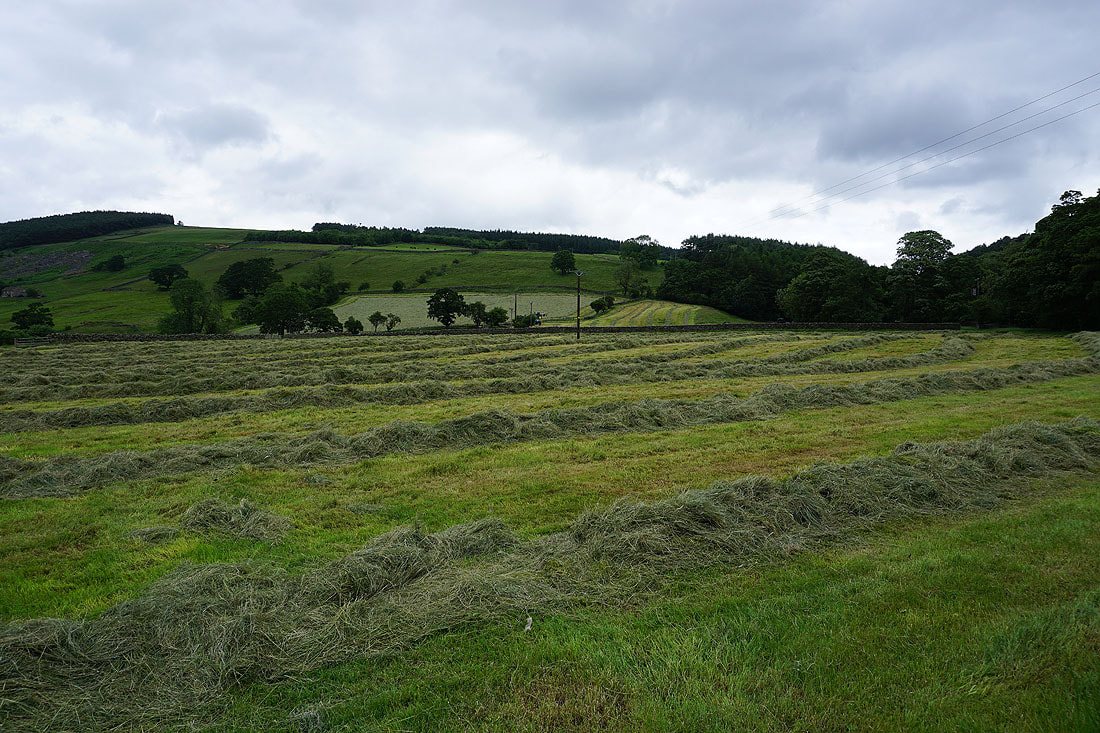
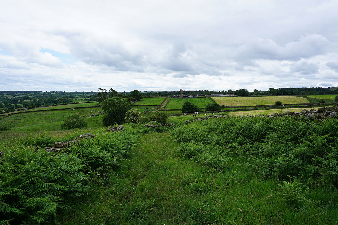
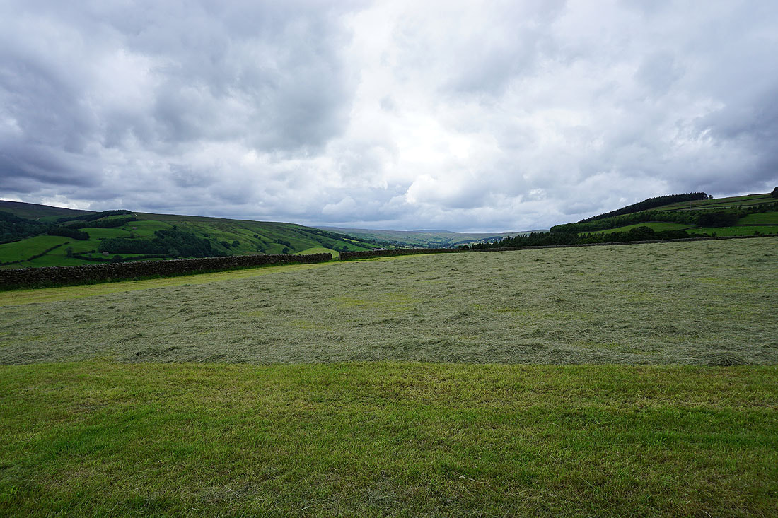
Freshly mown fields in Nidderdale
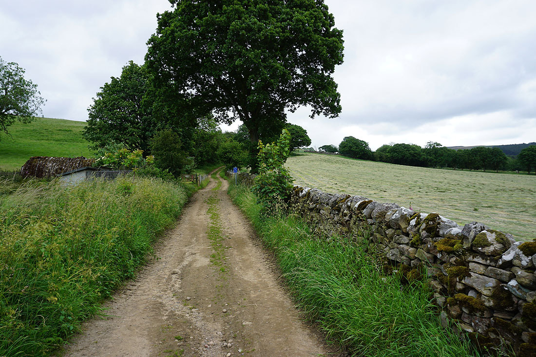
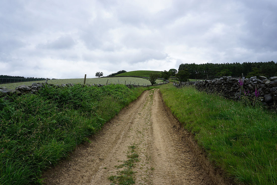
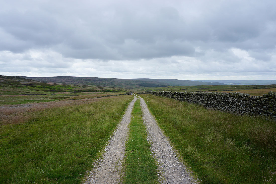
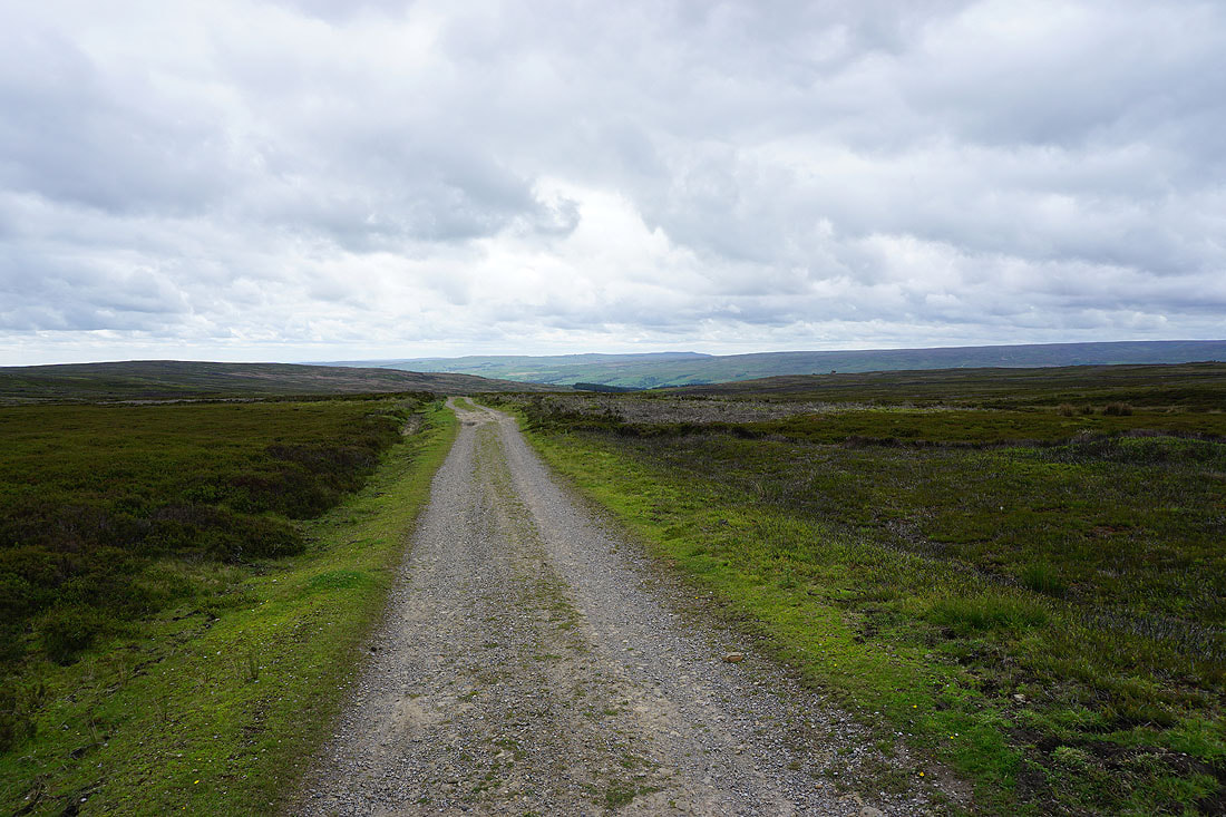
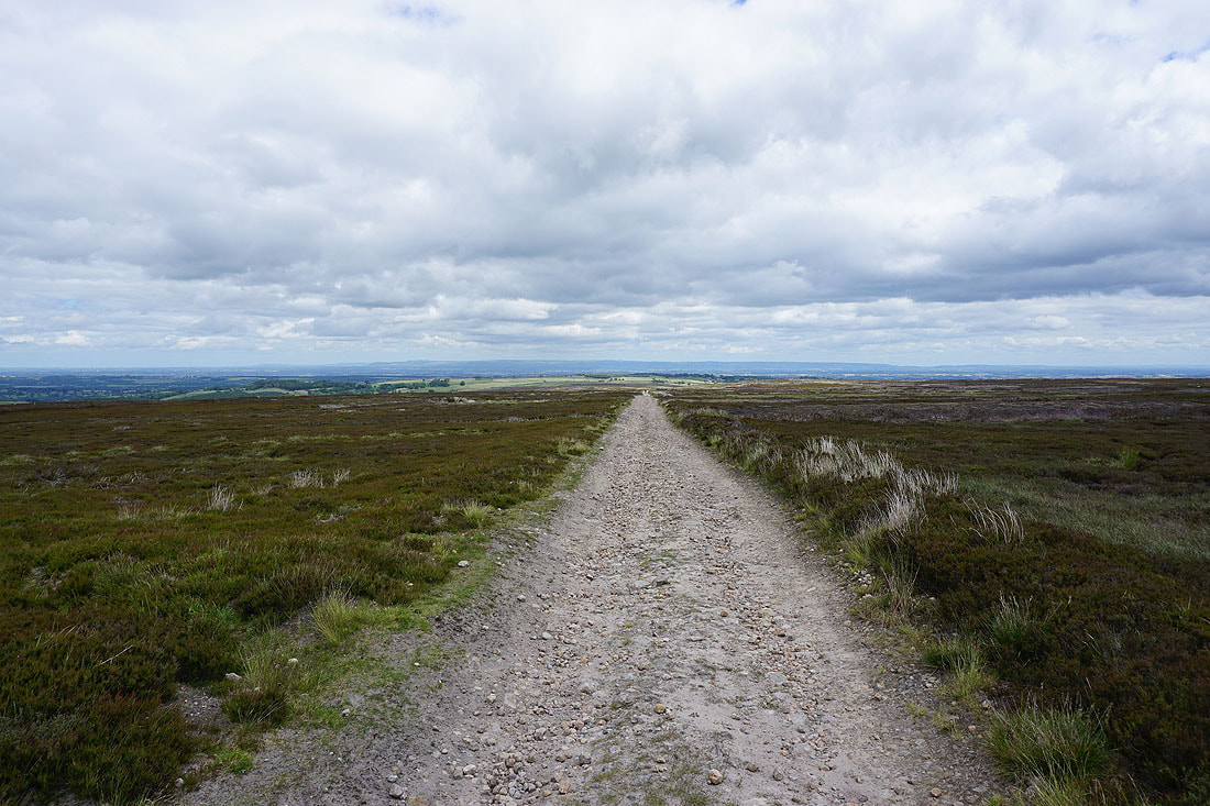
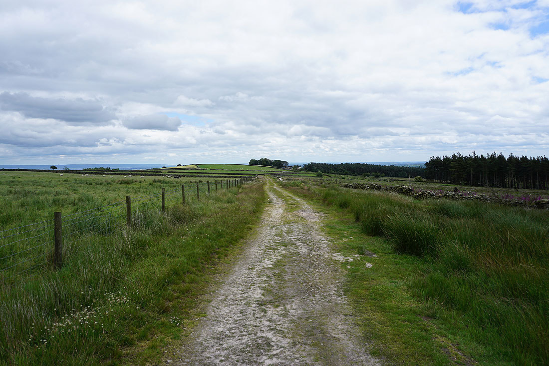
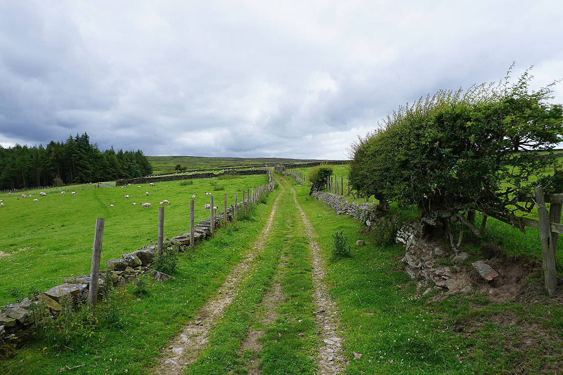
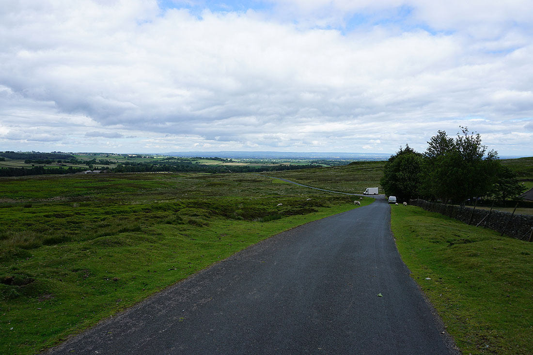
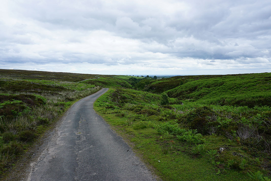
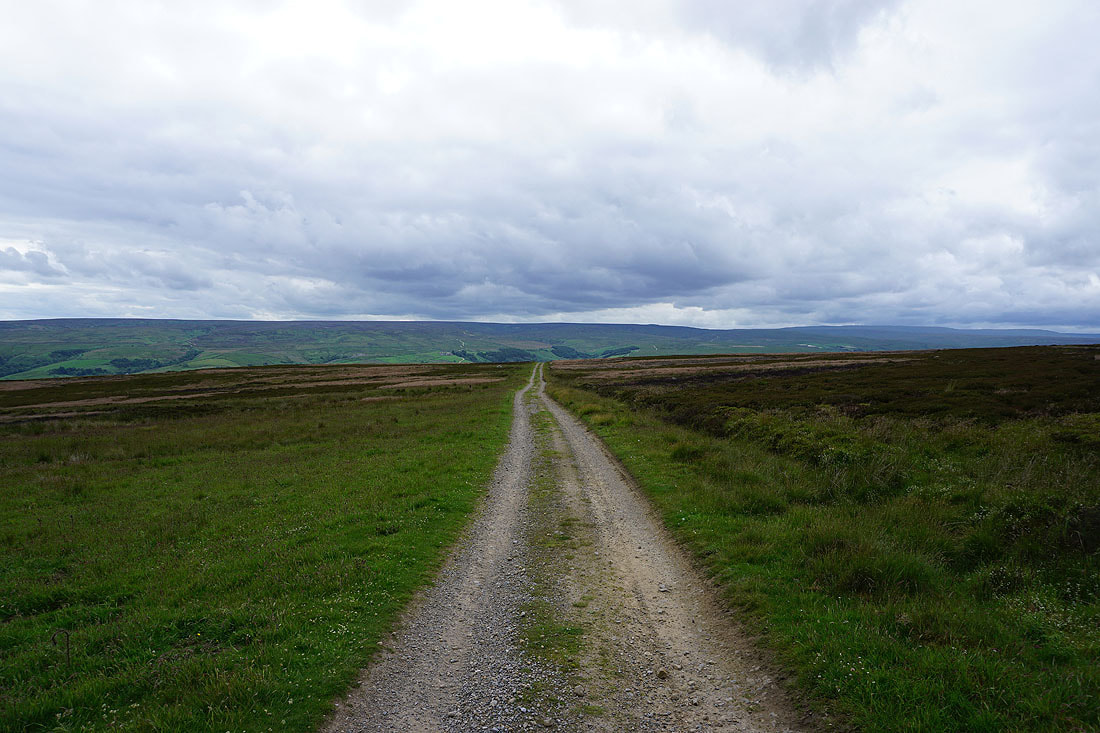
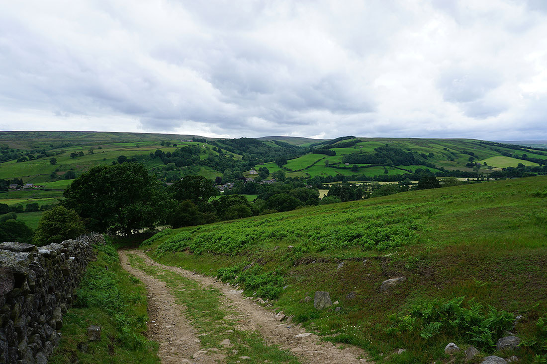
Leaving Bouthwaite on the byway to Fountains Earth Moor
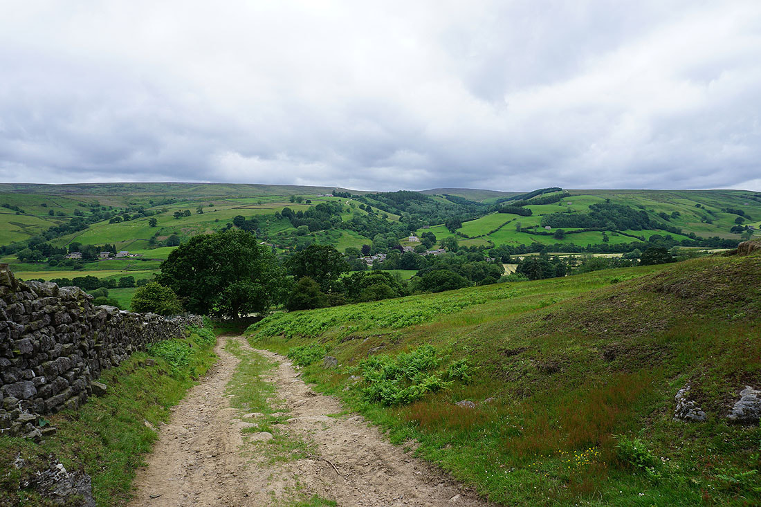
Looking back to Ramsgill in Nidderdale..
..as I follow the byway up onto the moors
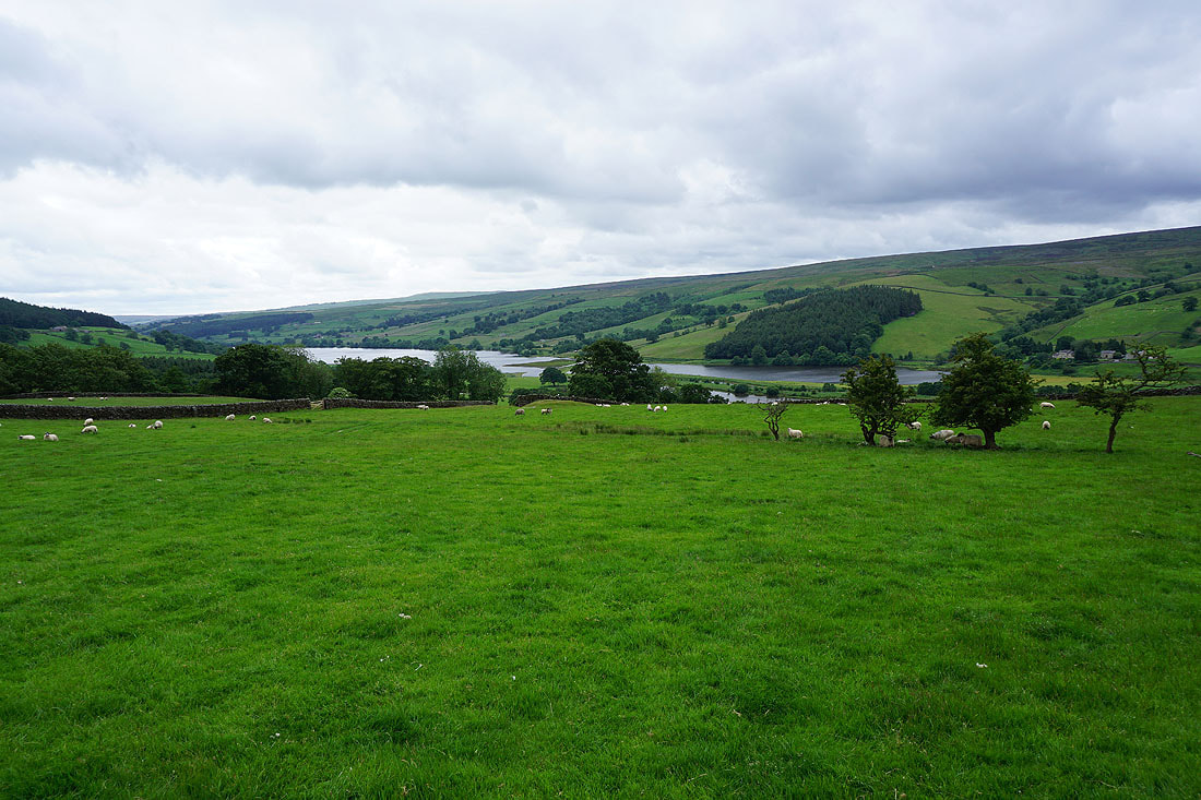
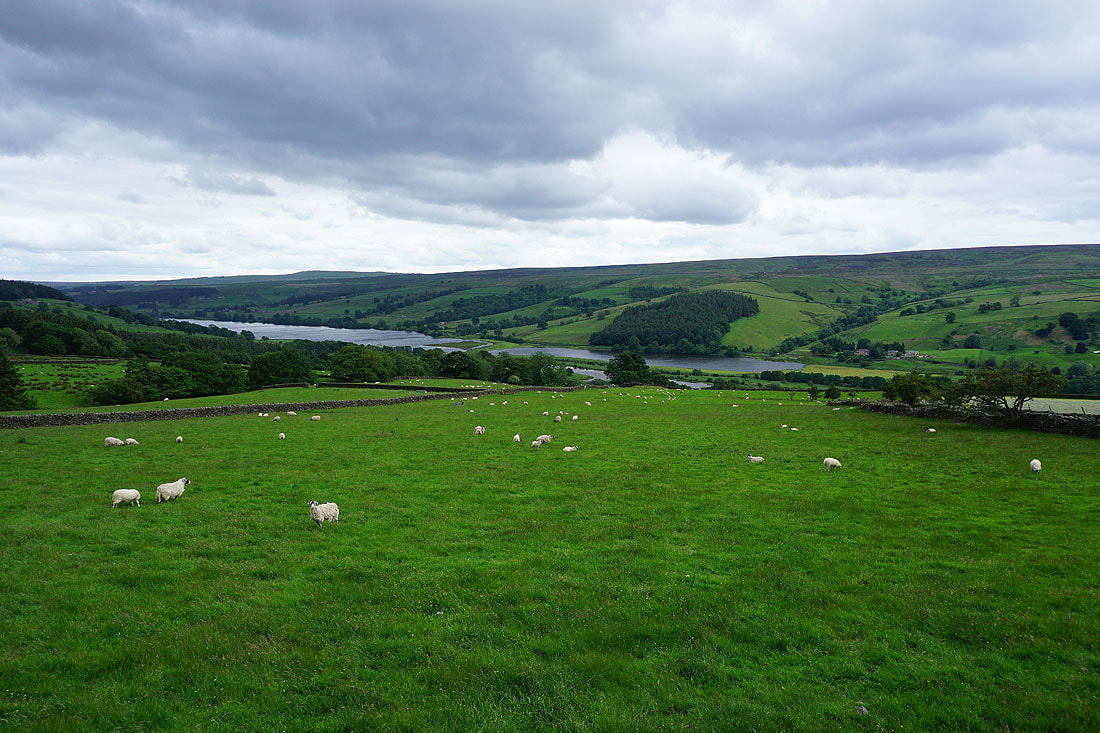
Gouthwaite Reservoir
Heading for Fountains Earth Moor
Looking back to Nidderdale with Gouthwaite Moor and Ramsgill Moor on the other side of the valley
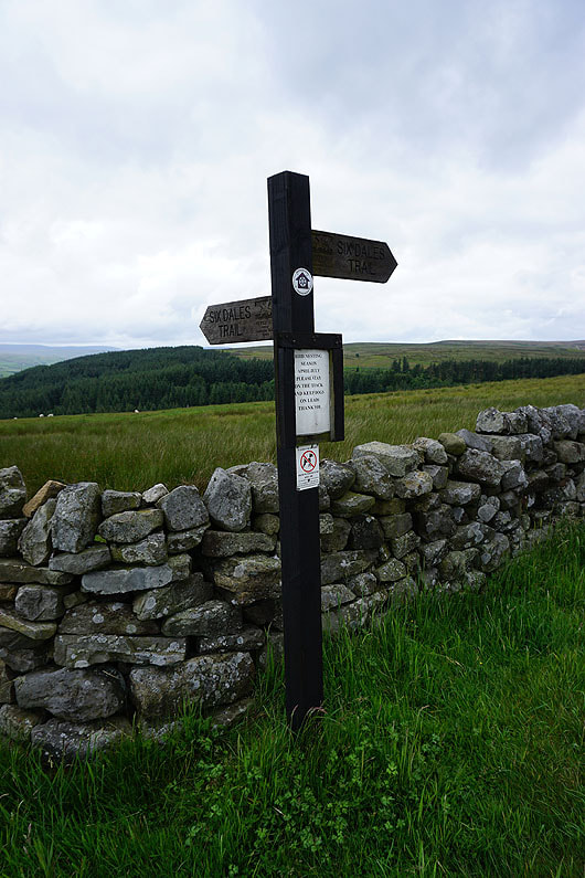
A signpost for the Six Dales Trail, which I'd never heard of until I started walking around here. I'll be back at this spot late in the afternoon.
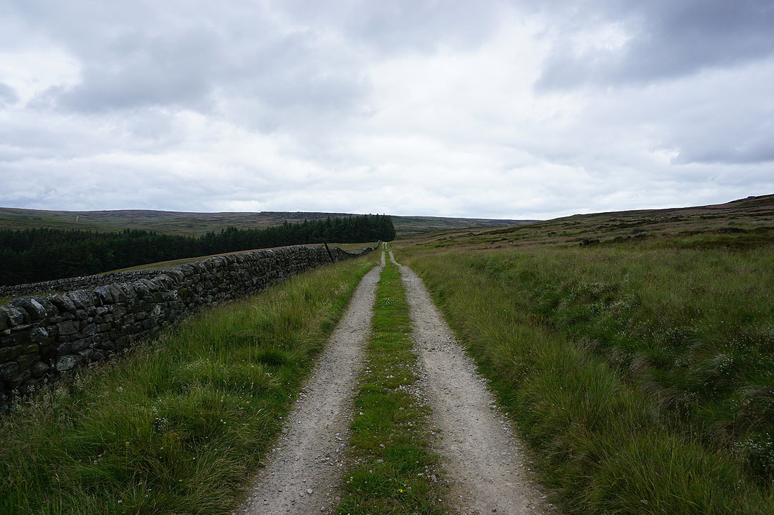
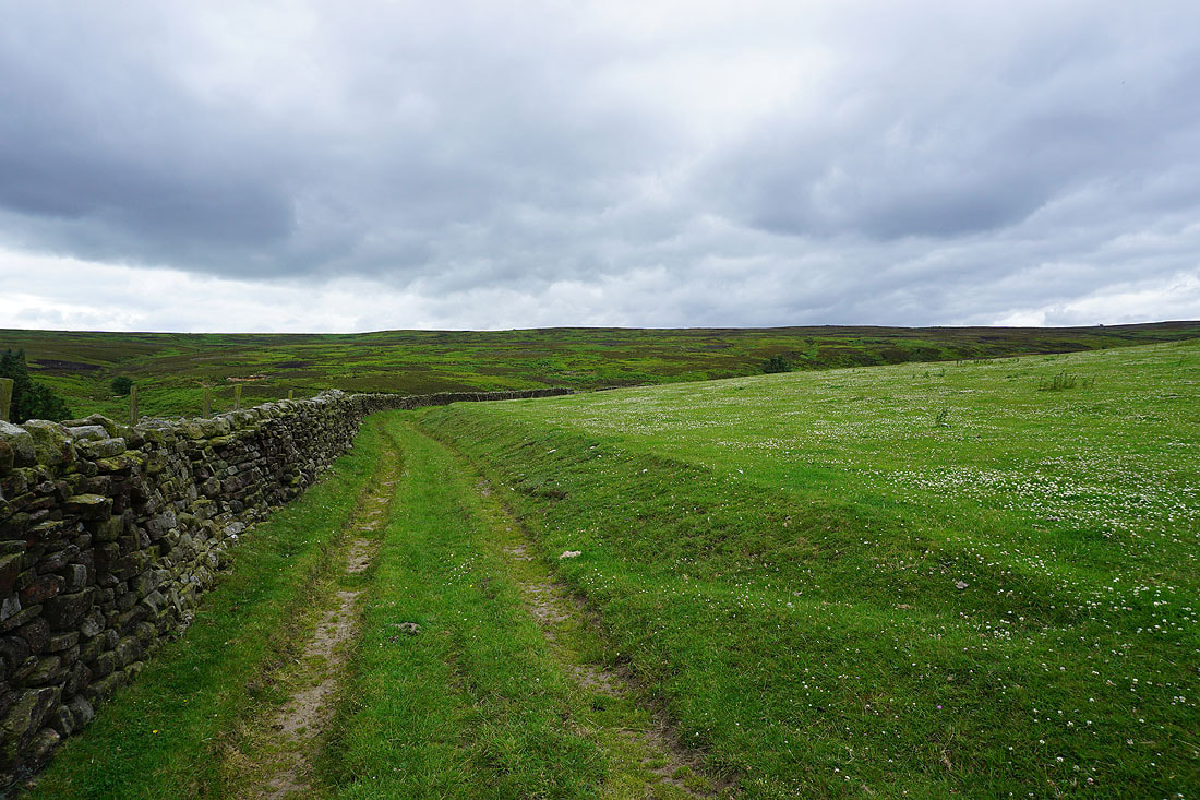
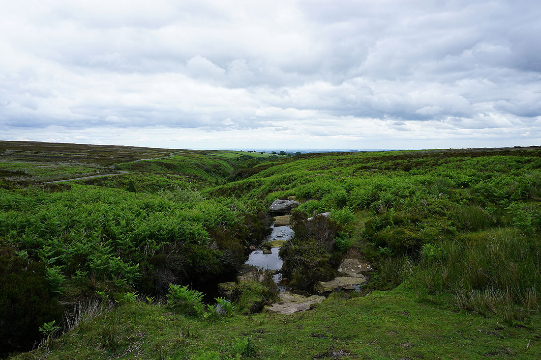
The byway I'm now on heads north to cross Lul Beck, then northwest across Sype Land..
Sypeland Crags on the skyline
Looking back to Covill House Moor on the other side of the valley of Lul Beck
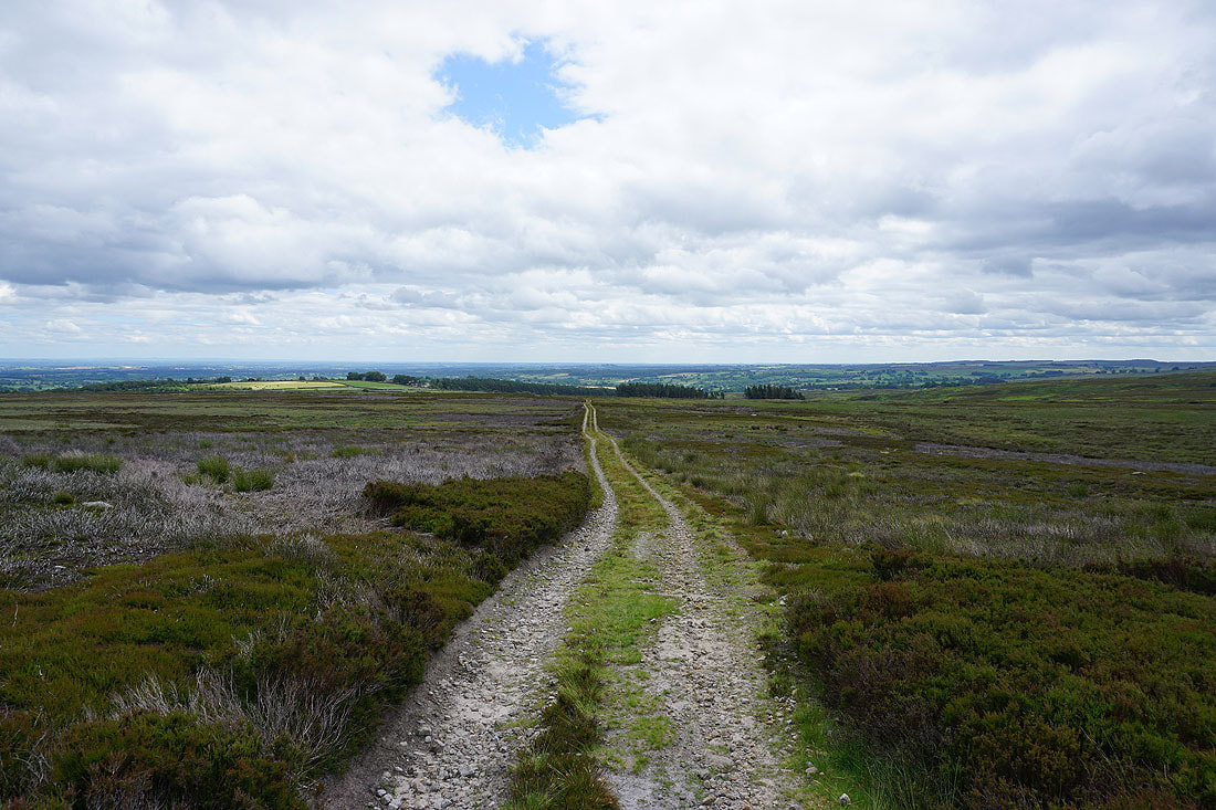
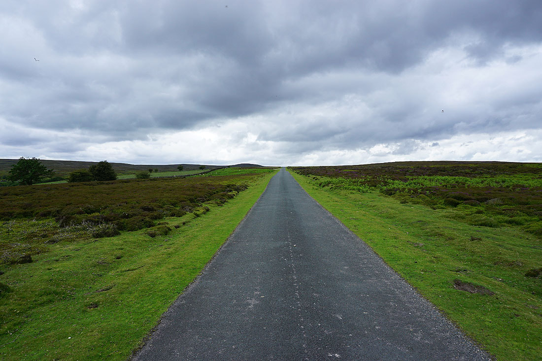
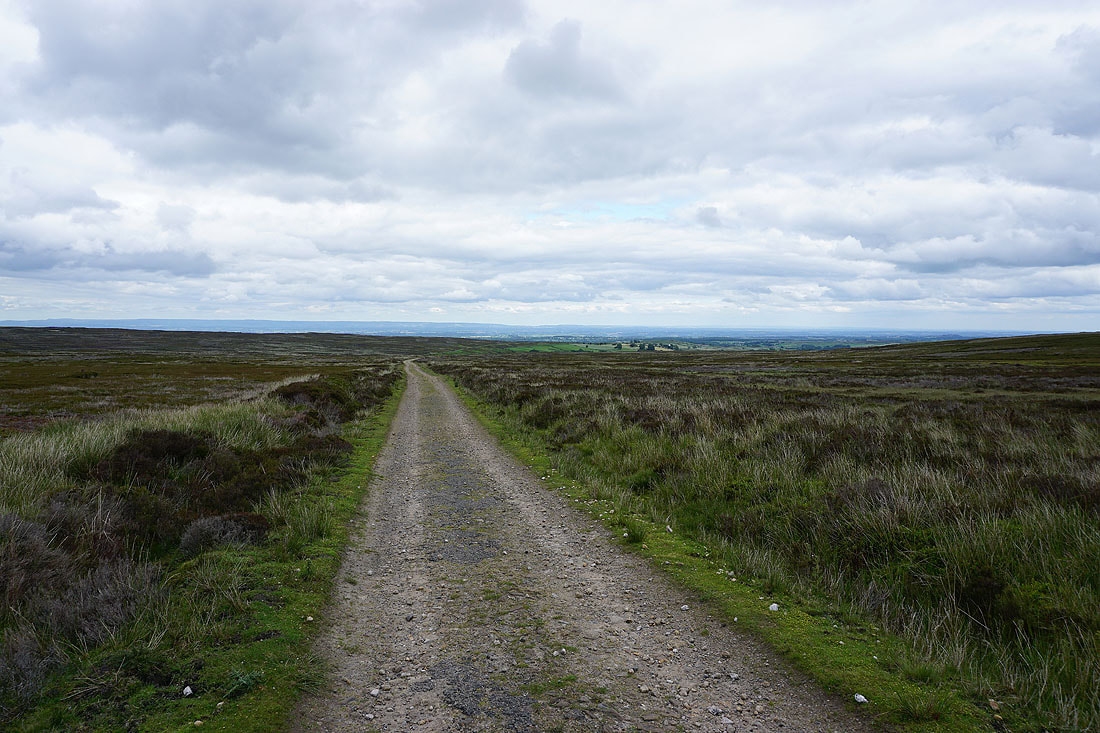
Distant views to Great Whernside at the head of Nidderdale as I follow the byway east towards Kirkby Malzeard Moor..
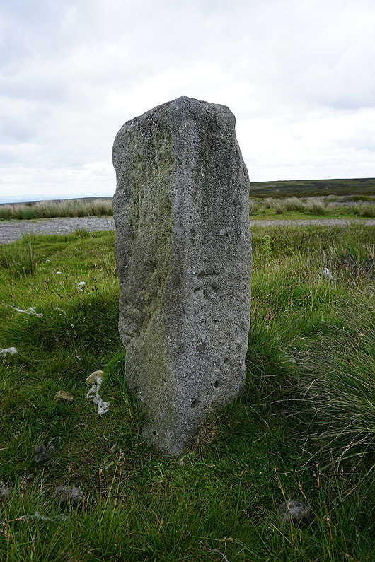
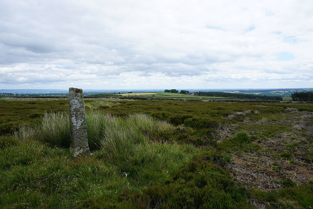
Stone with OS benchmark at a junction of byways
Following this one would take me back down into Nidderdale, which I did on my walk around here at the end of April
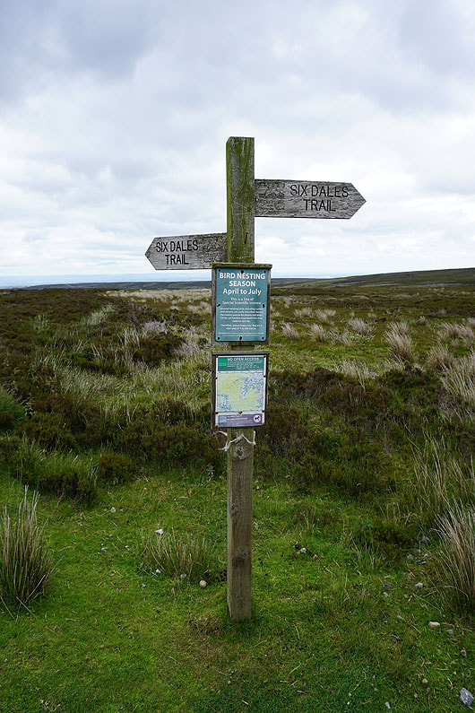
Another Six Dales Trail signpost at the same spot
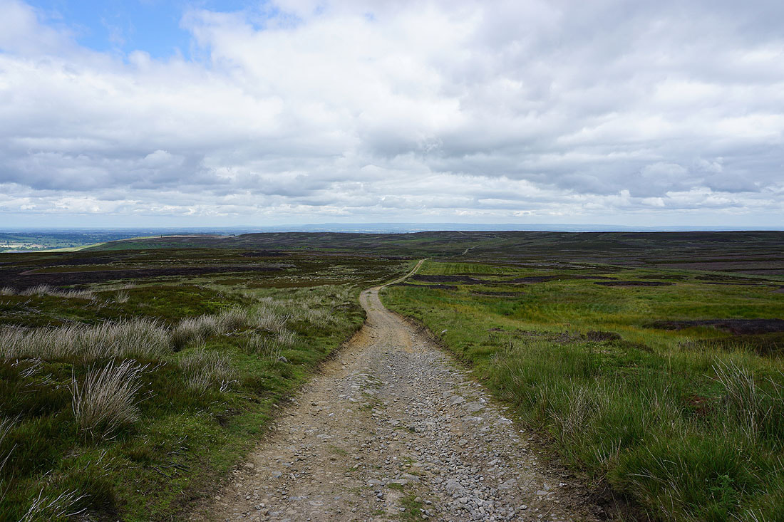
As I continue east it isn't long until I have fantastic view all the way across to the North York Moors
Masham Moor to the north on the other side of the valley containing Roundhill Reservoir
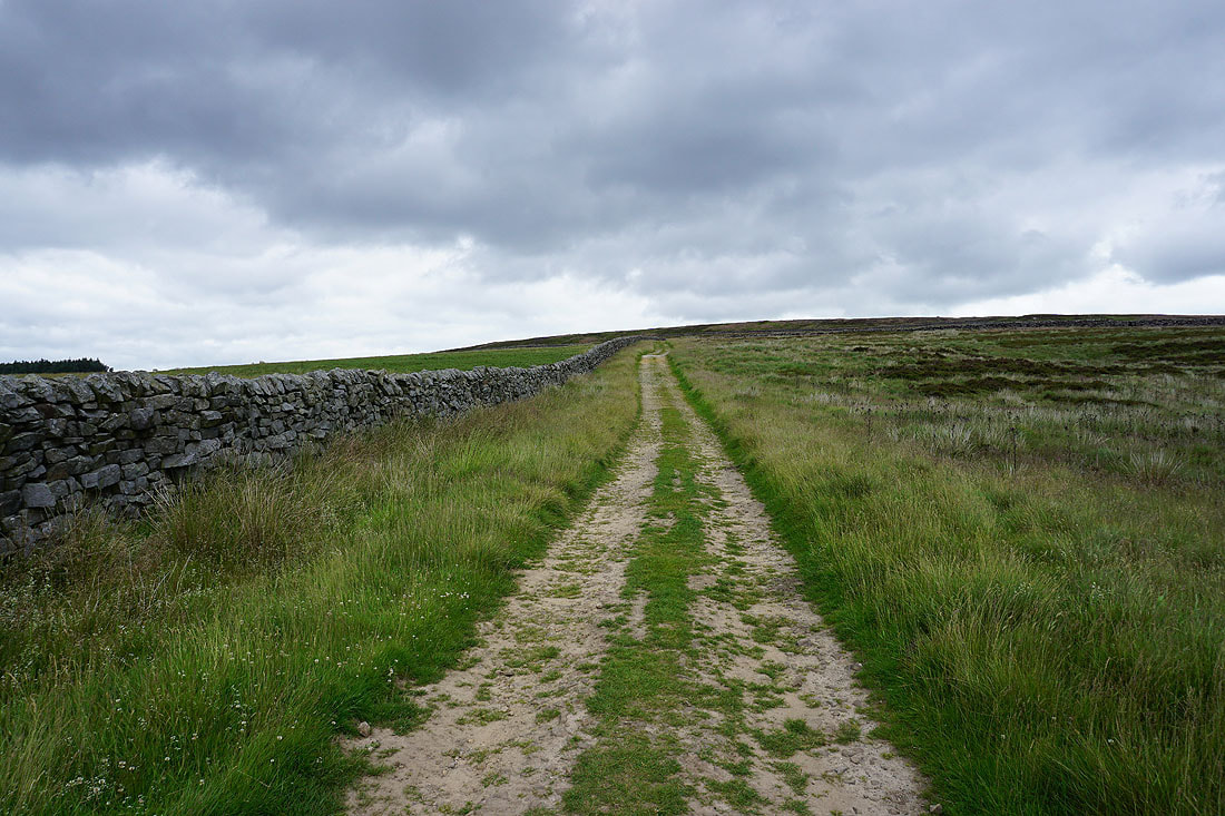
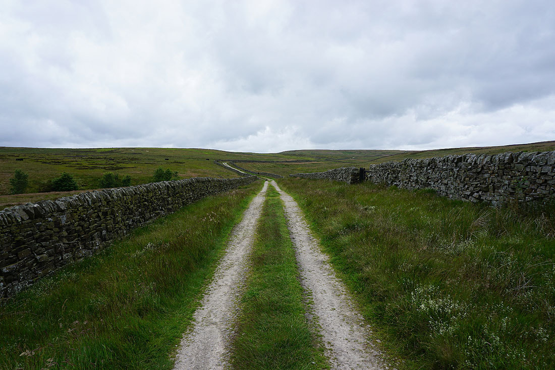
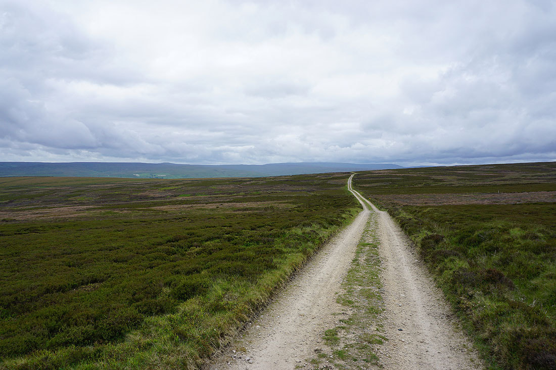
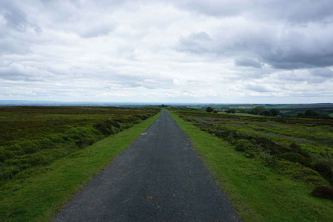
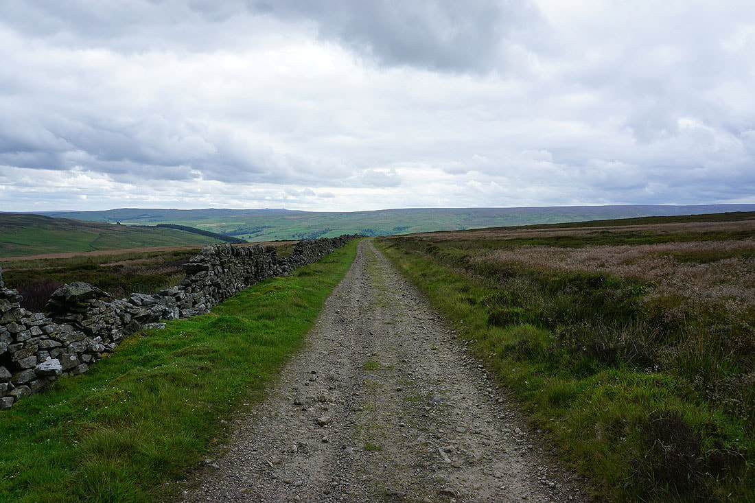
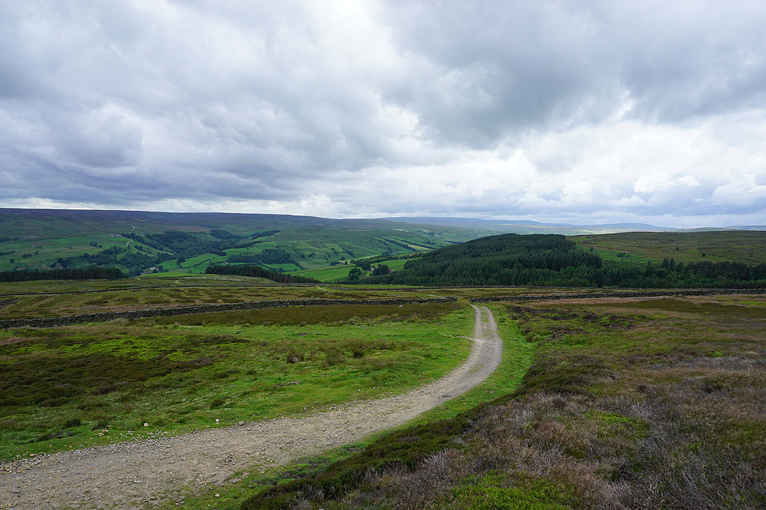
Heading east along the byway on the northern side of Kirkby Malzeard Moor towards Grewelthorpe Moor..
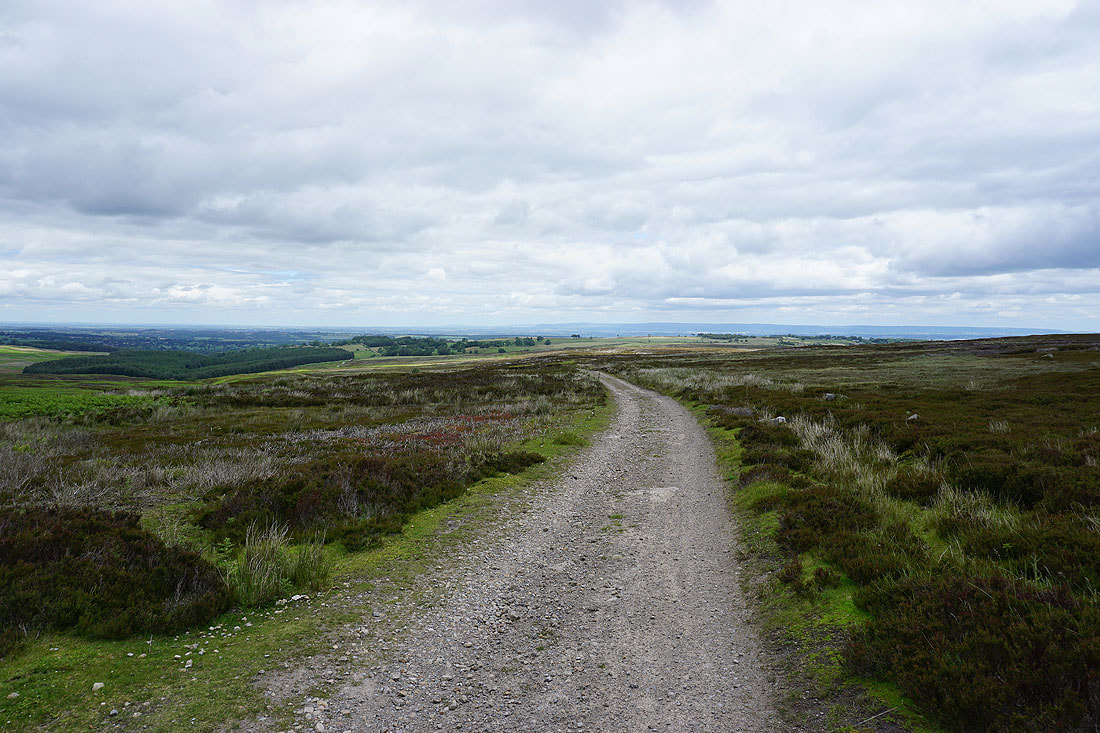
I then take the byway down towards Newlands House Farm and Newlands Wood
A boundary stone a short distance from the byway that I couldn't help visiting
Approaching Newlands House Farm..
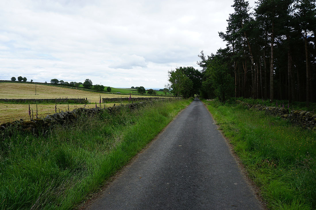
..and then a short walk along the road from the farm by Newlands Wood to Brown Bank Road
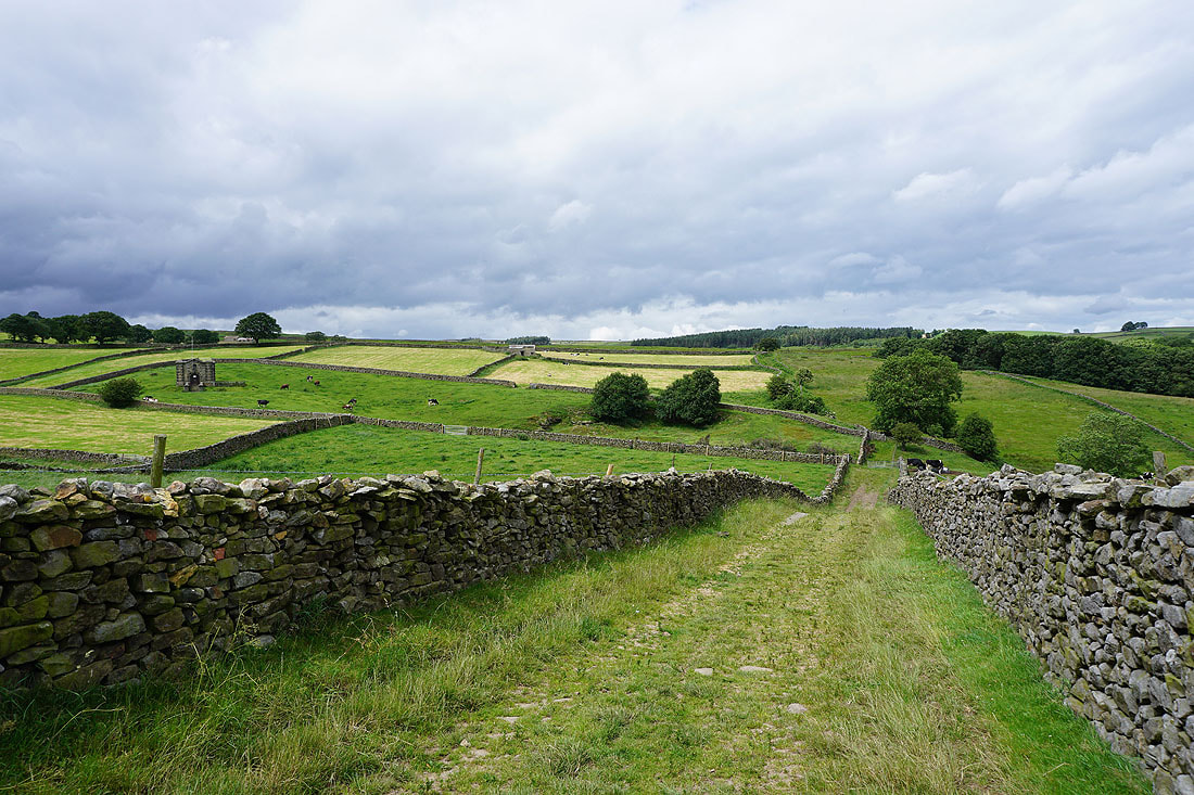
After a short walk along Brown Bank Road, on the footpath across Stock Beck Moor...
Looking back to Stock Beck Moor as I reach the hamlet of Carlesmoor
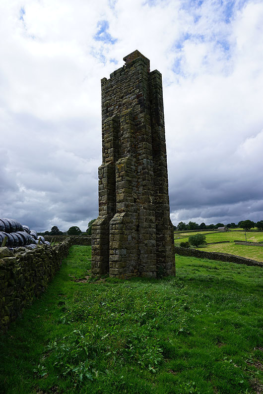
One of the sighting towers built for the construction of Roundhill and Leighton Reservoirs
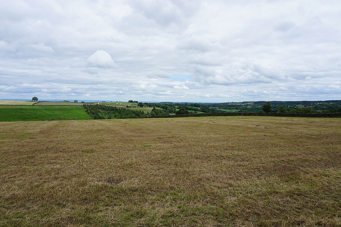
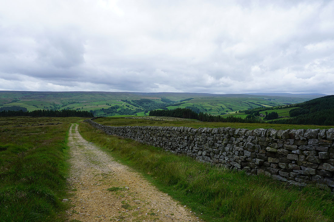
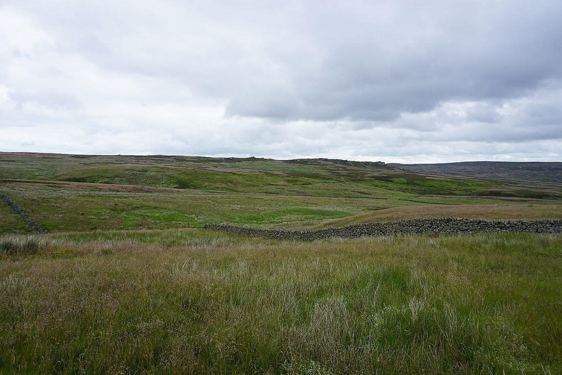
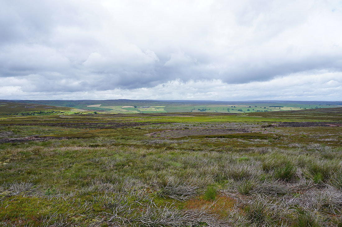
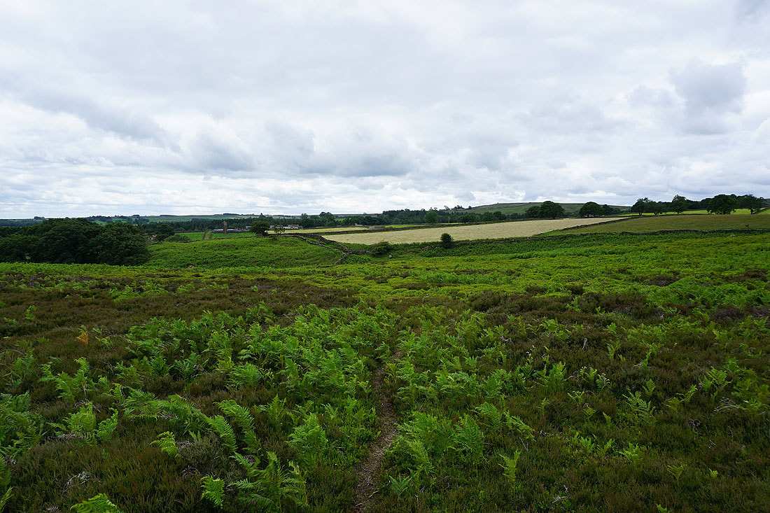
Looking east across the countryside around Kirkby Malzeard and the valley of the River Laver
Past Carlesmoor House Farm and on the footpath west to the ford over Carlesmoor Beck...
A view east all the way to the North York Moors as I reach the road across Swetton Moor
and it's even better from above the road junction on Greygarth Hill
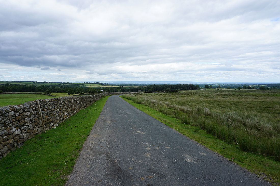
The walk up the road to Stope Bridge is compensated by a great long distance view if I stop and turn round...
Above Dallowgill at Stope Bridge. It's where the tarmacked road comes to an end..
One last look east before..
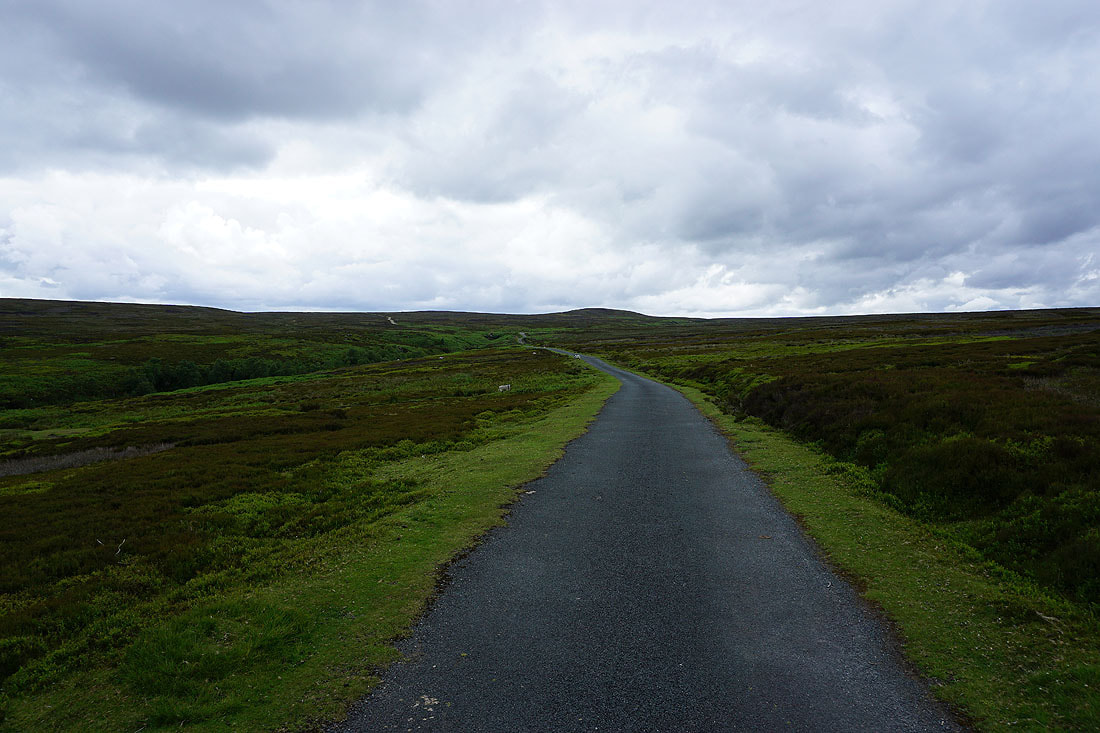
..I cross the moor into Nidderdale
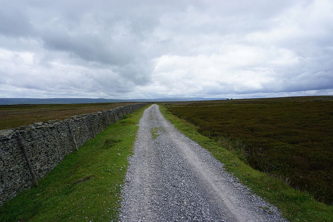
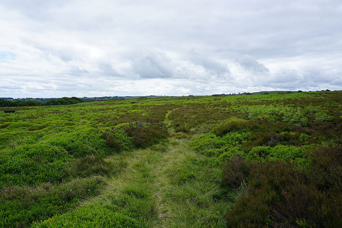
On the byway across Covill House Moor..
Back above Gouthwaite Reservoir
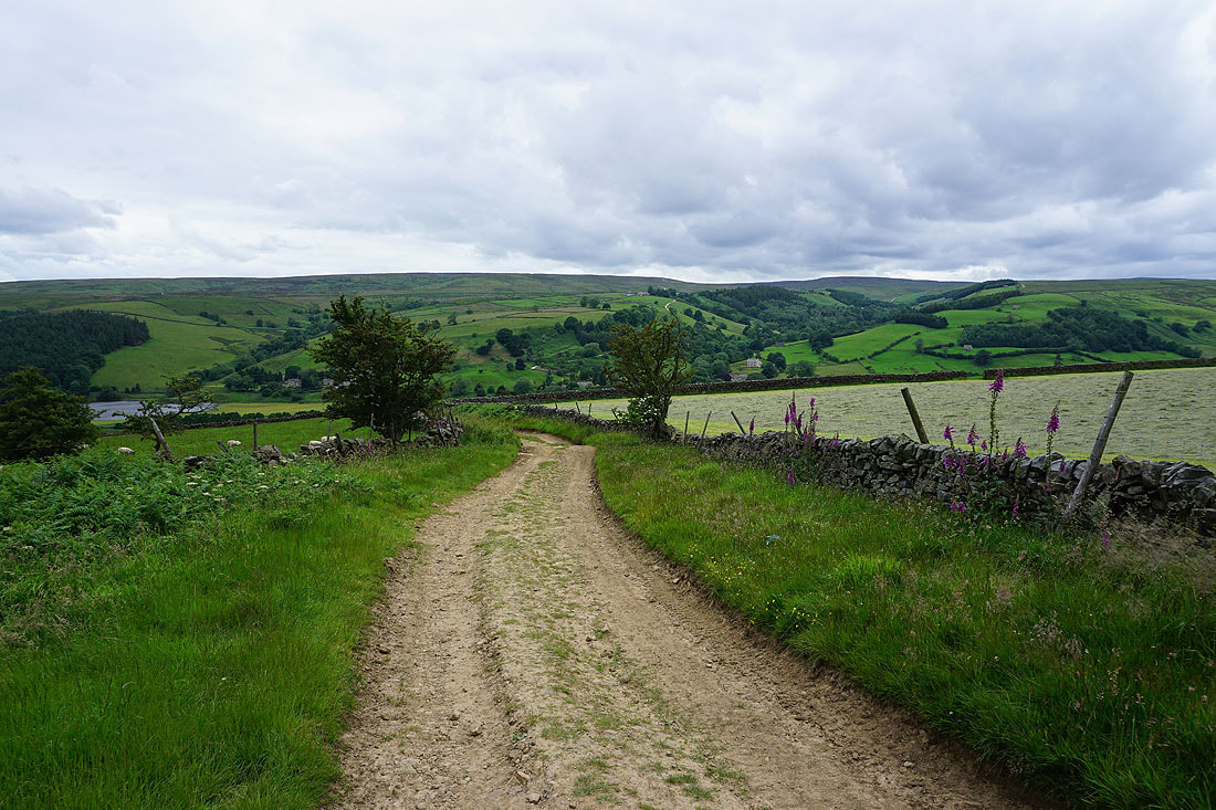
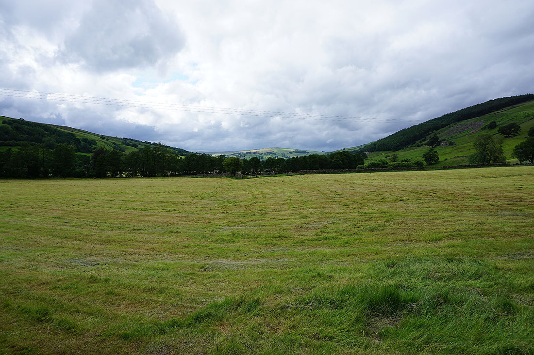
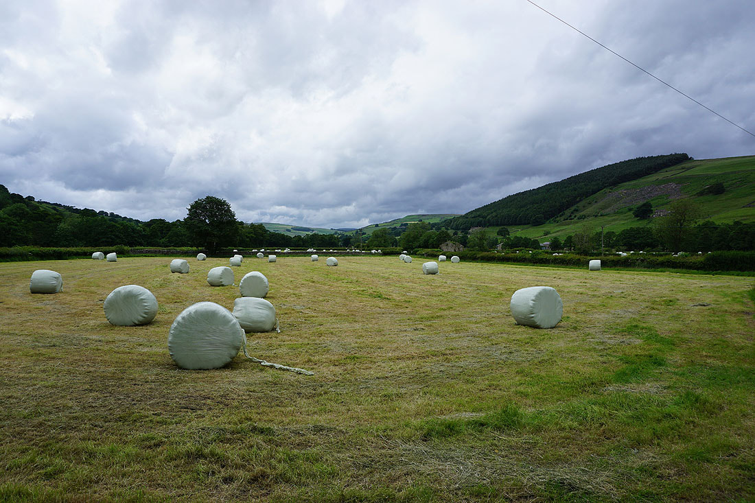
Mown fields in Nidderdale as I follow the byway back down to Bouthwaite.....
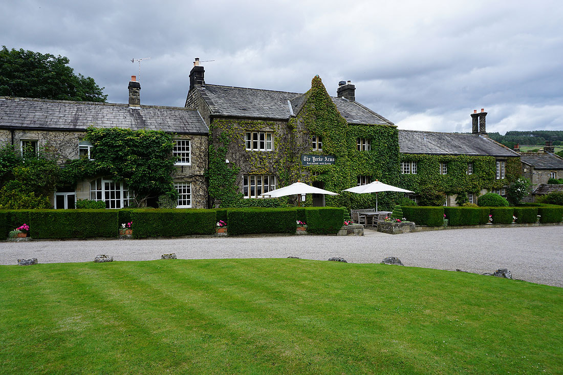
The Yorke Arms in Ramsgill