30th March 2012 - High Tove and Armboth Fell
Walk Details
Distance walked: 3.8 miles
Total ascent: 1284 ft
OS map used: OL4 - The English Lakes, North-western area
Time taken: 3.5 hrs
Route description: Armboth-High Tove-Shivery Knott-Armboth Fell-Fisher Crag-Armboth
213 down, 1 to go. Armboth Fell done just leaves Castle Crag. My final day in the Lakes and it's another sunny day.
I wasn't looking forward to bagging Armboth Fell. The central ridge is notoriously boggy, so doing it during this dry spell of weather we've been having was as good a time as any. It was squelchy underfoot pretty much all the way but I'm sure it could have been a lot worse.
From the car park at Armboth I followed the public footpath signposted to Watendlath all the way to the summit of High Tove. I then walked along the ridgeline such as it is to the rocky outcrop of Shivery Knott before finding the best way across to the summit of Armboth Fell. My route back down included a visit to the top of Fisher Crag.
Route map
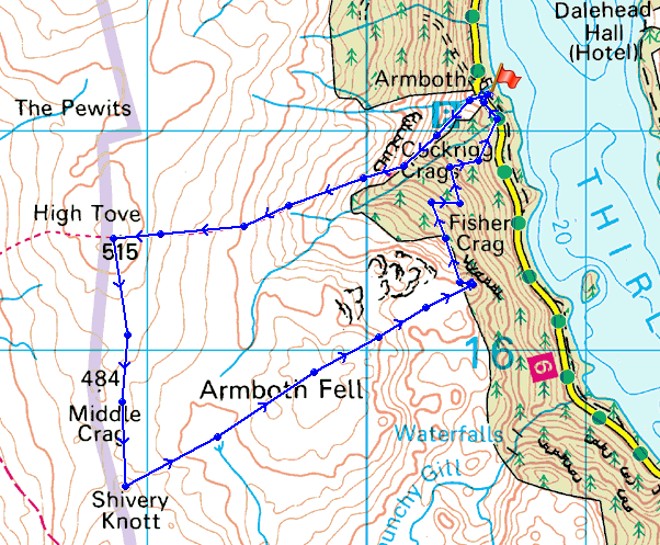
© Crown copyright. All rights reserved. License number PU 100034184.
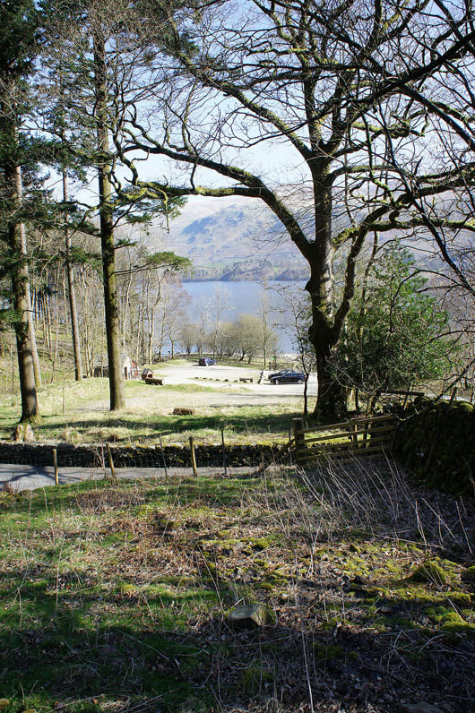
The car park at Armboth from the start of the path up to High Tove
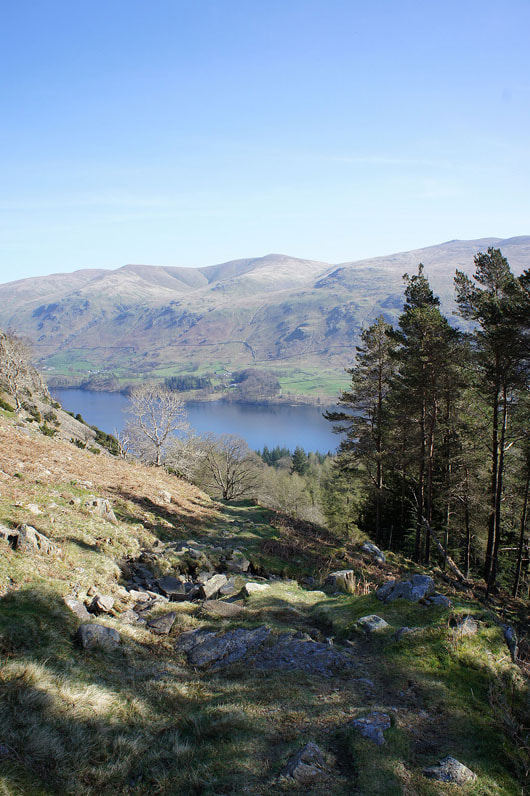
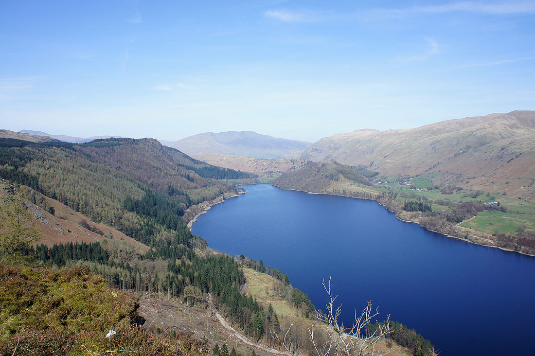
Across Thirlmere to Stybarrow Dodd
High Seat and Blencathra from High Tove
The Helvellyn range with Armboth Fell on the right
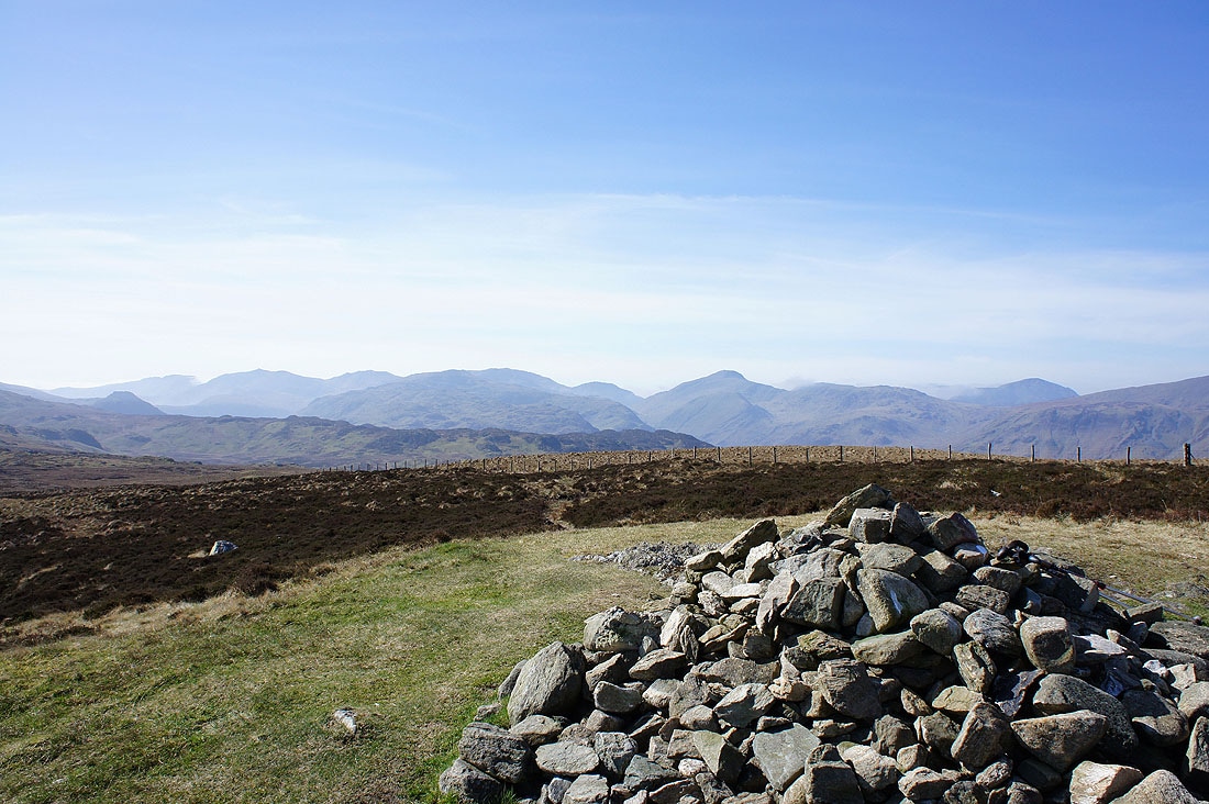
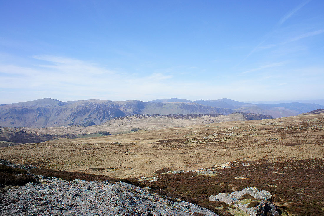
Not a bad view. Bowfell, Esk Pike, Scafell Pike, Lingmell, Great Gable and Pillar.
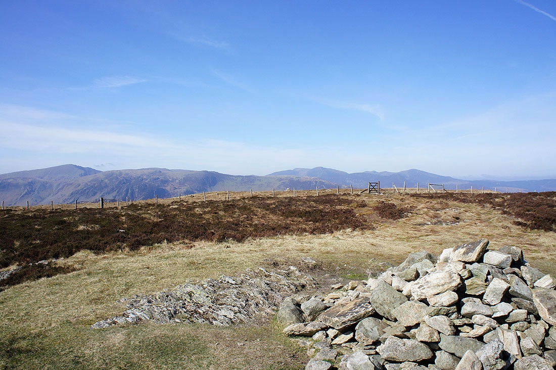
Dale Head, Crag Hill, Grisedale Pike and the rest of the northwestern fells
On the rocky island of Shivery Knott. On a day like today even here is a good place to be.
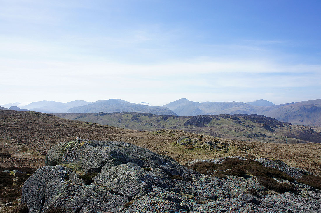
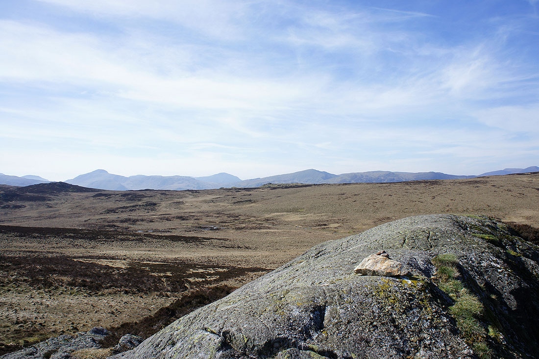
A better view of the northwestern fells than from High Tove
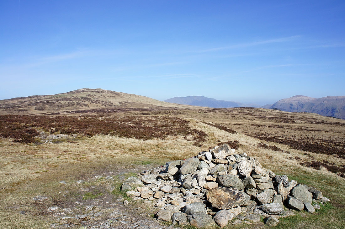
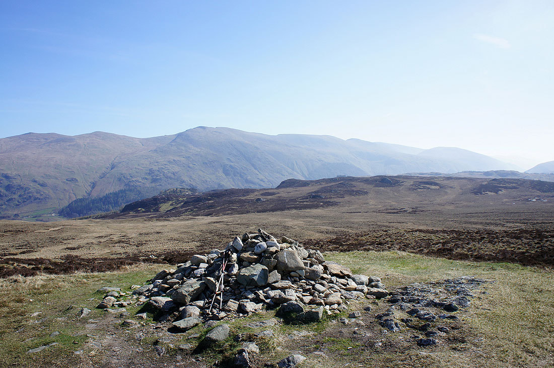
Finally on the "summit" of Armboth Fell
Raven Crag in front of Blencathra
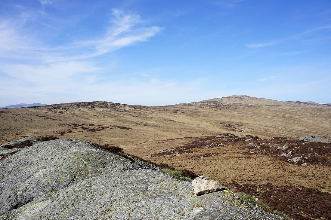
High Tove and High Seat
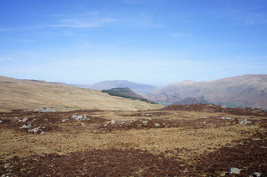
Blencathra and Thirlmere from the top of Fisher Crag
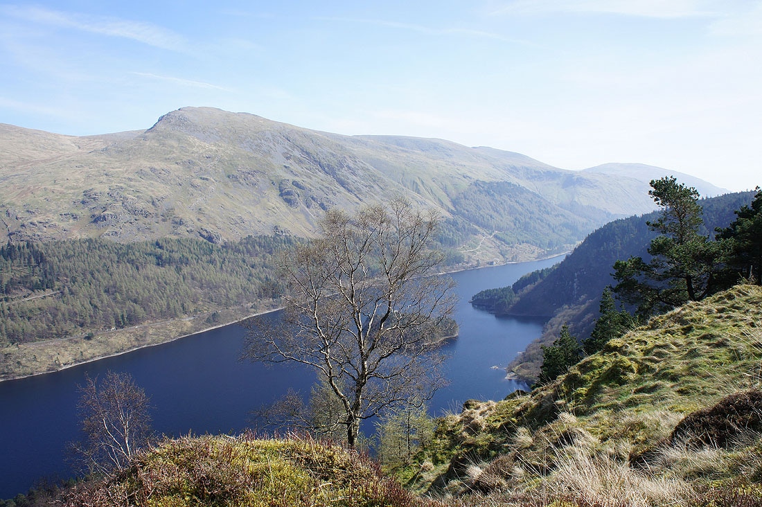
and the Helvellyn range
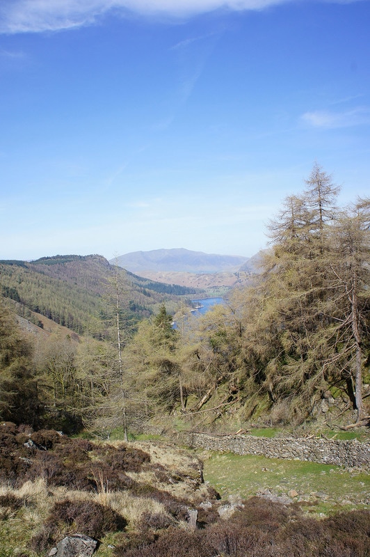
A final view of Blencathra before I enter the forest
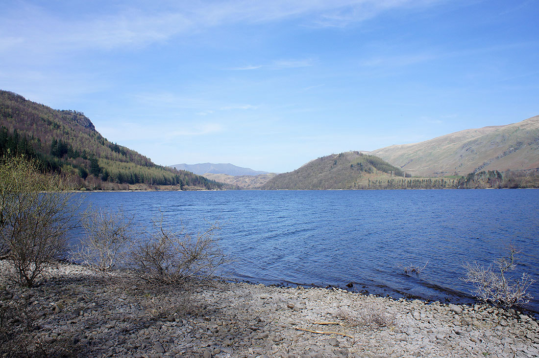
By the shore of Thirlmere. That's it, my stay in the Lakes is over. I couldn't have asked for a better weeks weather. Wall to wall blue skies and sunshine.