30th May 2015 - Hartington and its Dales
Walk Details
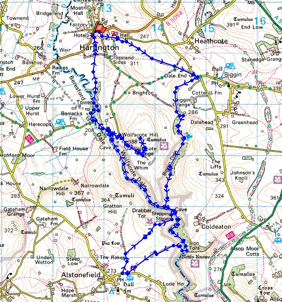
Distance walked: 10.5 miles
Total ascent: 2002 ft
OS map used: OL24 - The Peak District, White Peak area
Time taken: 5.5 hrs
Route description: Hartington-Hall Bank-Highfield Lane-Dale End-Biggin Dale-Wolfscote Dale-Coldeaton Bridge-Lode Lane-Gratton Lane-Gypsy Bank-Wolfscote Dale-Wolfscote Grange-Wolfscote Hill-Wolfscote Grange-Beresford Dale-Hartington
I couldn't resist going back to the White Peak after my last walk there just two weeks ago. There was a nice day forecast with blue skies, fluffy clouds and sunny spells. Ideal weather for walking down the limestone valleys and especially for taking in the views across the rolling hills of this part of the Peak District, I think this area is fast becoming one of my favourites for walking in. Typical of this May though was the chilly start to the day. It's noticeable that there are still a fair number of trees just coming into leaf. I must mention that one of brothers, Stephen, came with me today. Next time he's with me I'll have to remember to take a photo of us.
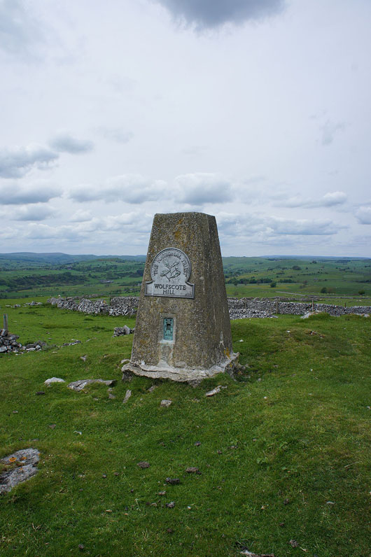
From the NP car park in Hartington we walked through the village and up Hall Bank to the Youth Hostel at Hartington Hall. We left the road opposite the hostel for a path across fields to the bridleway of Highfield Lane which we followed all the way to Dale End. After a brief walk along the road we took the path into and down Biggin Dale. Biggin Dale comes to end when it joins Wolfscote Dale at Peasland Rocks. After making our way down Wolfscote Dale to Coldeaton Bridge we crossed the bridge and took the path that heads steeply up and out of the valley. At its top a stile is crossed and then a bridleway makes its way through the fields to arrive at Lode Lane outside Alstonefield. We weren't on Lode Lane for long, the track of Gratton Lane is soon reached, which heads north to a crossroads of paths where we turned right for Gypsy Bank. A steep descent of Gyspy Bank and we were back in Wolfscote Dale, time to head back to Hartington. I did want to pay Wolfscote Hill a visit first though. So after walking up Wolfscote Dale to Frank i' th' Rocks we made our way up to the lane at Wolfscote Grange. Only a small part of Wolfscote Hill is access land and a gate with a notice by it lets you on. The trig point was touched and the view taken in, time to retrace our steps to Frank i' th' Rocks. A walk up Beresford Dale and across fields took us back to Hartington.
Route map
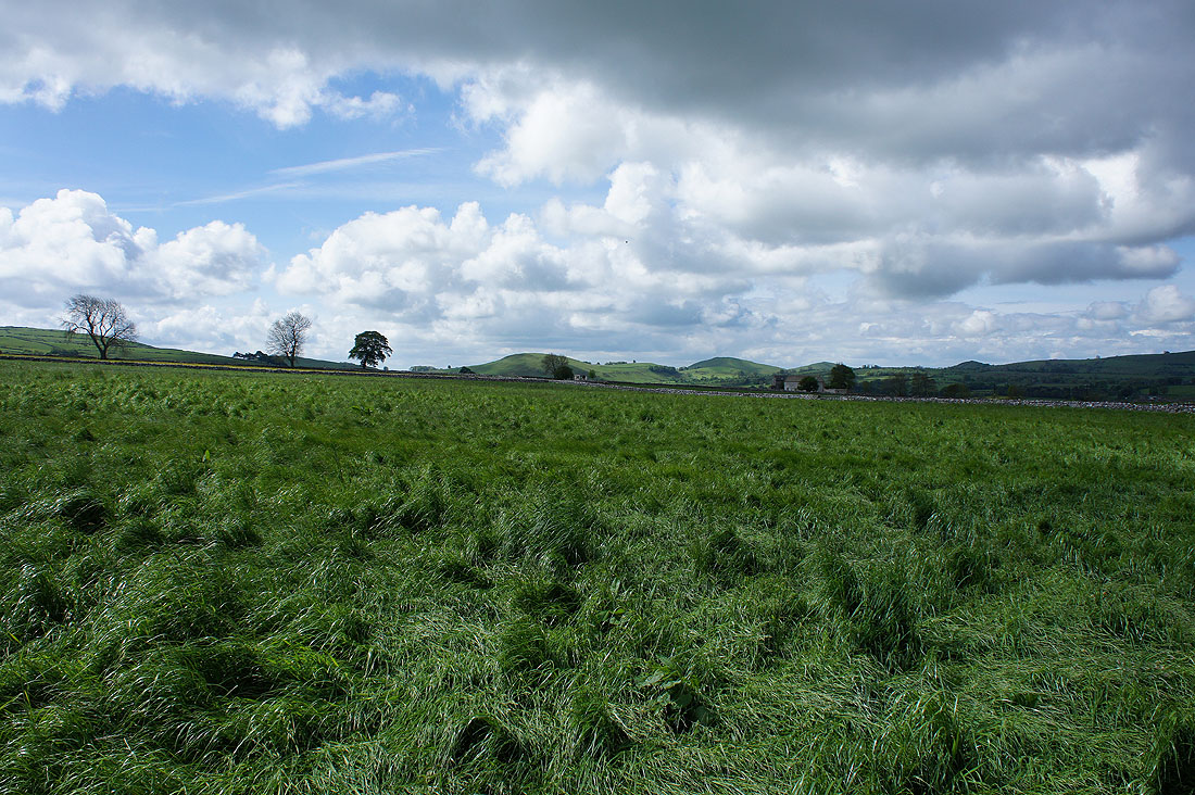
As we head up Highfield Lane, Narrowdale Hill and Gateham Hill to our right
The moors above Hartington Dale and Long Dale to our left
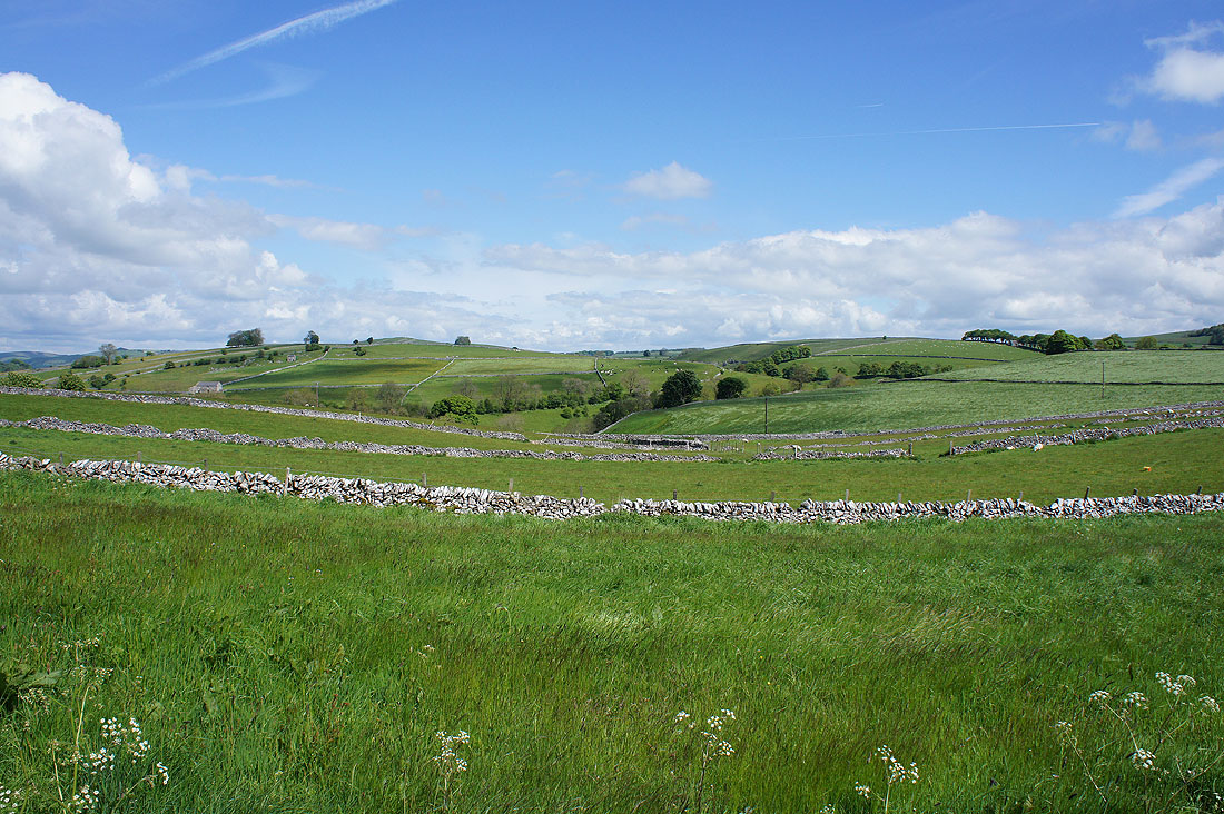
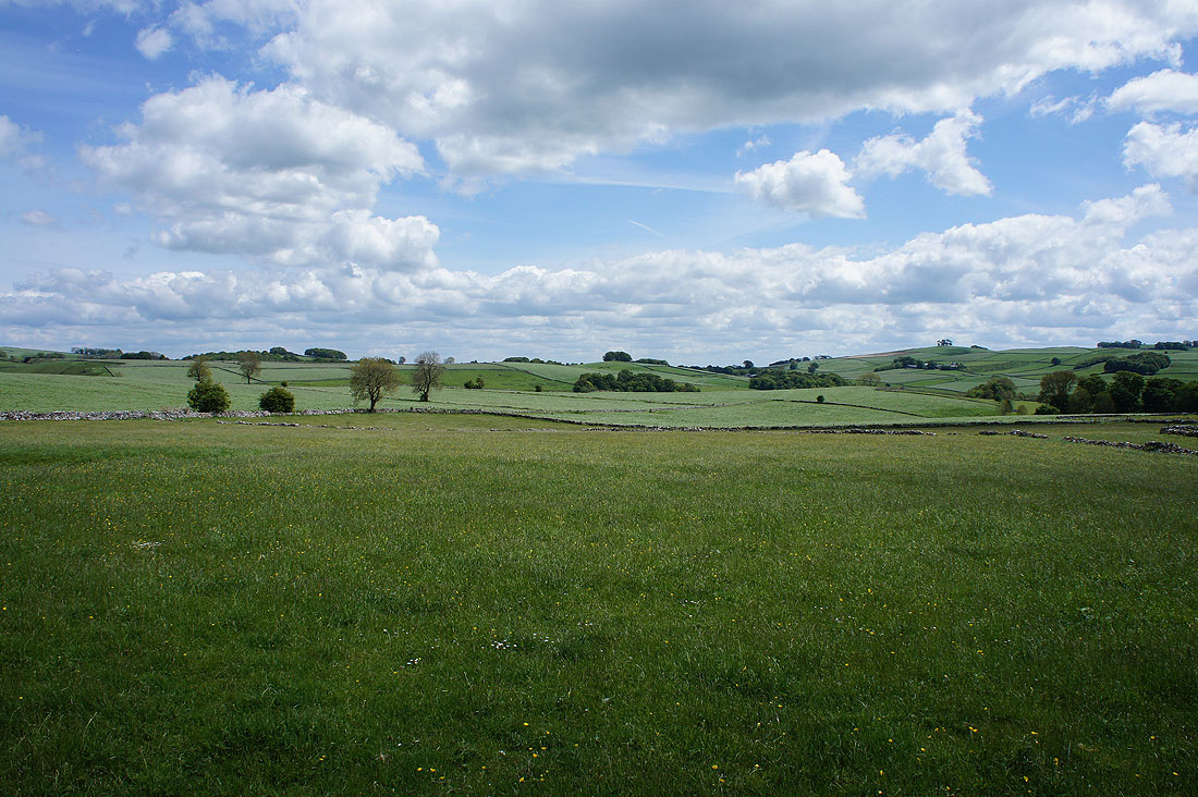
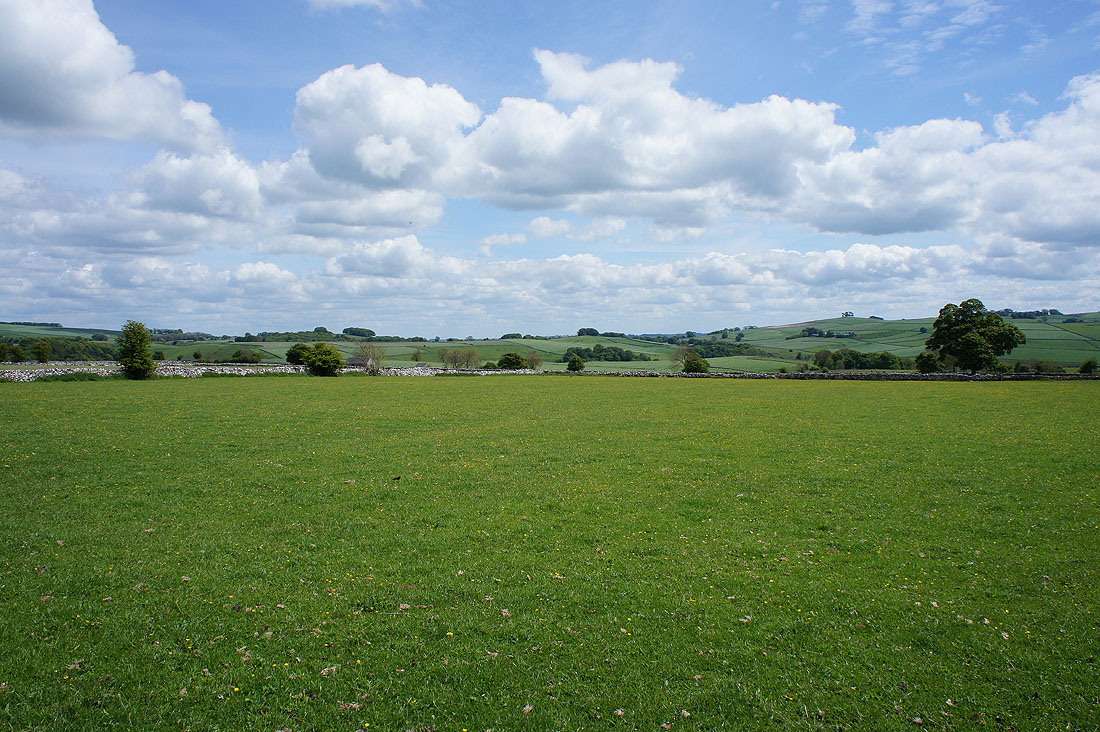
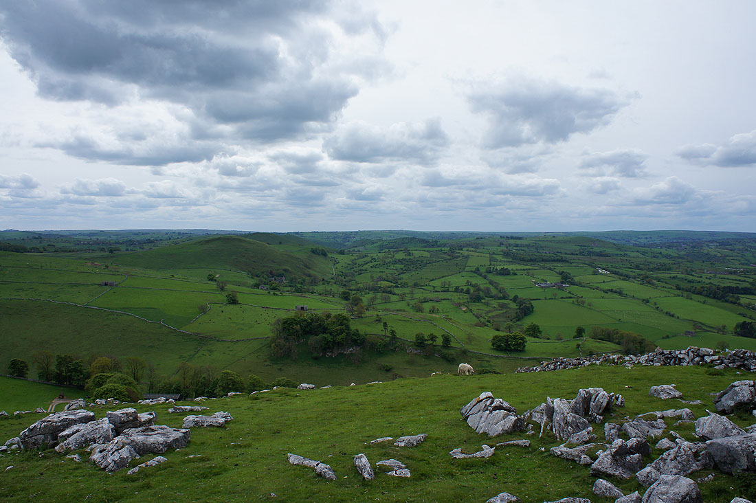
A fabulous view looking back from the top of Highfield Lane to the limestone hills that surround the River Dove above Hartington
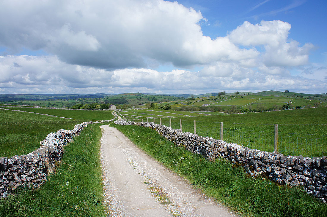
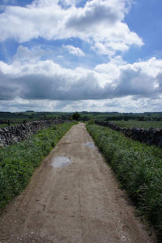
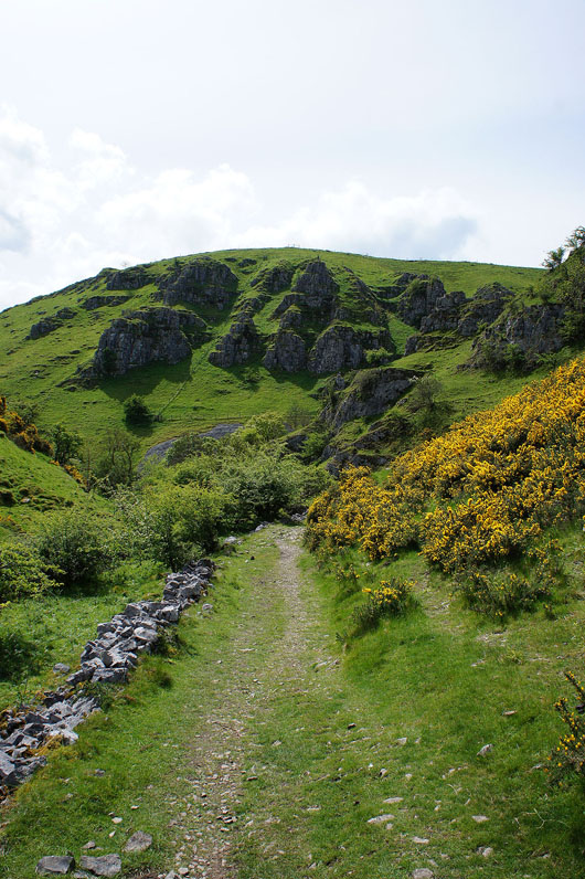
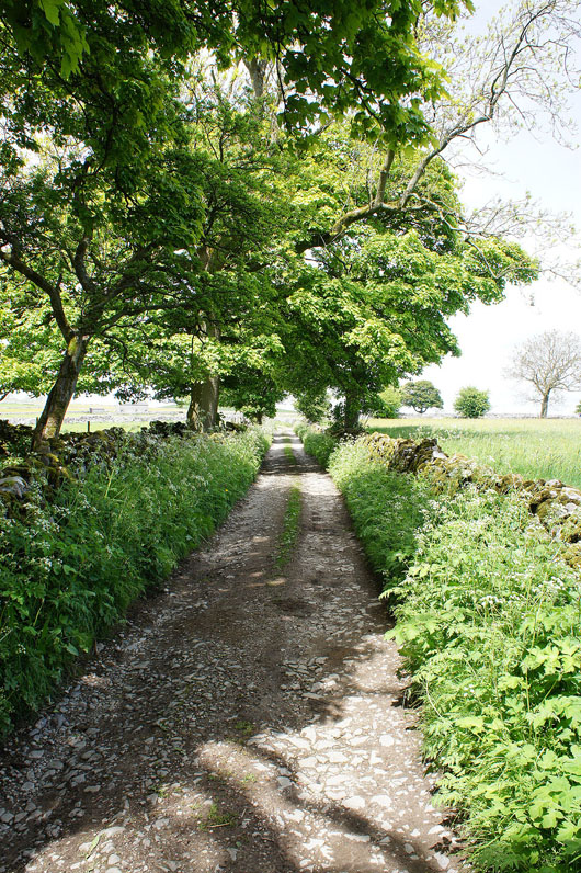
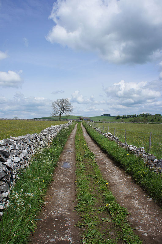
Continuing down Highfield Lane to Dale End
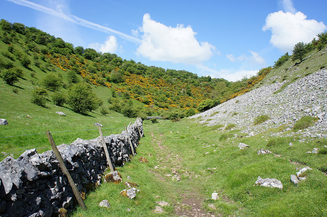
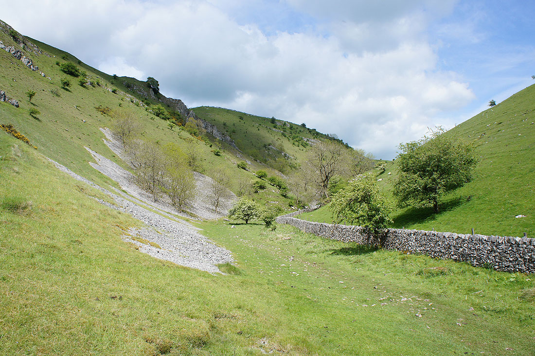
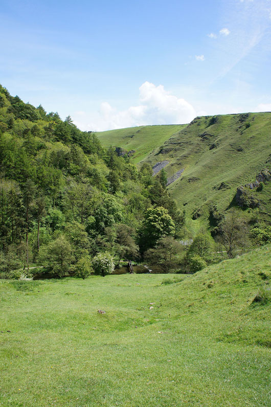
At the start of Biggin Dale. Another of the limestone valleys of the White Peak visited for the first time.
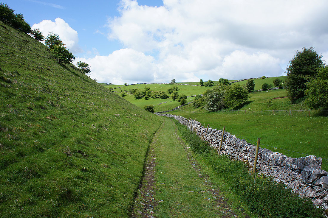
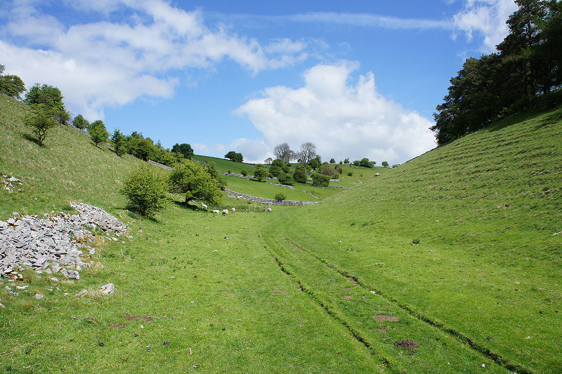
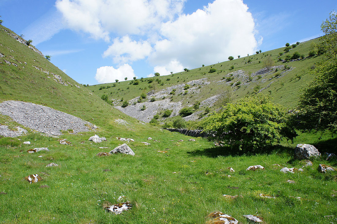
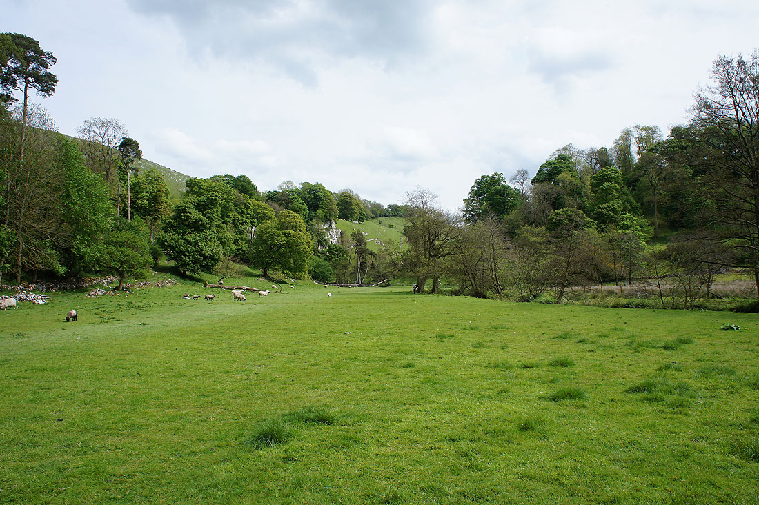
Heading down Biggin Dale
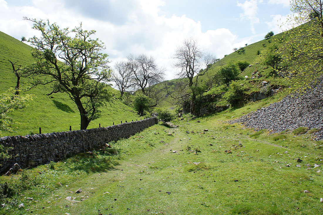
More photos of Biggin Dale. Most of them looking back up the valley...
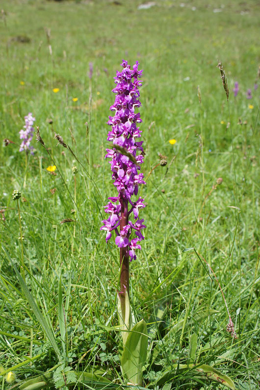
A great example of an early purple orchid
Biggin Dale comes to end as its merging with Wolfscote Dale at Peaseland Rocks appears ahead
Looking up Wolfscote Dale to Drabber Tor. We're not going that way yet.
Wolfscote Dale where Biggin Dale joins is a great spot with lots of limestone crags around
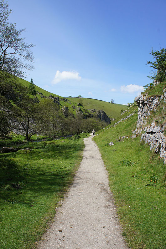
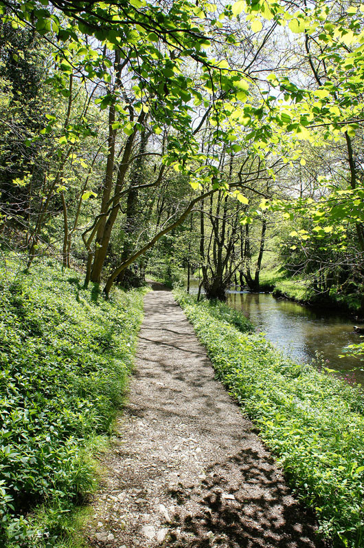
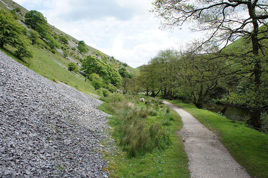
The path down Wolfscote Dale goes through woodland down to Coldeaton Bridge
Coldeaton Bridge below and the side valley of Coldeaton Dale opposite as we take the steep path uphill towards Alstonefield
Looking south towards Milldale and Shining Tor
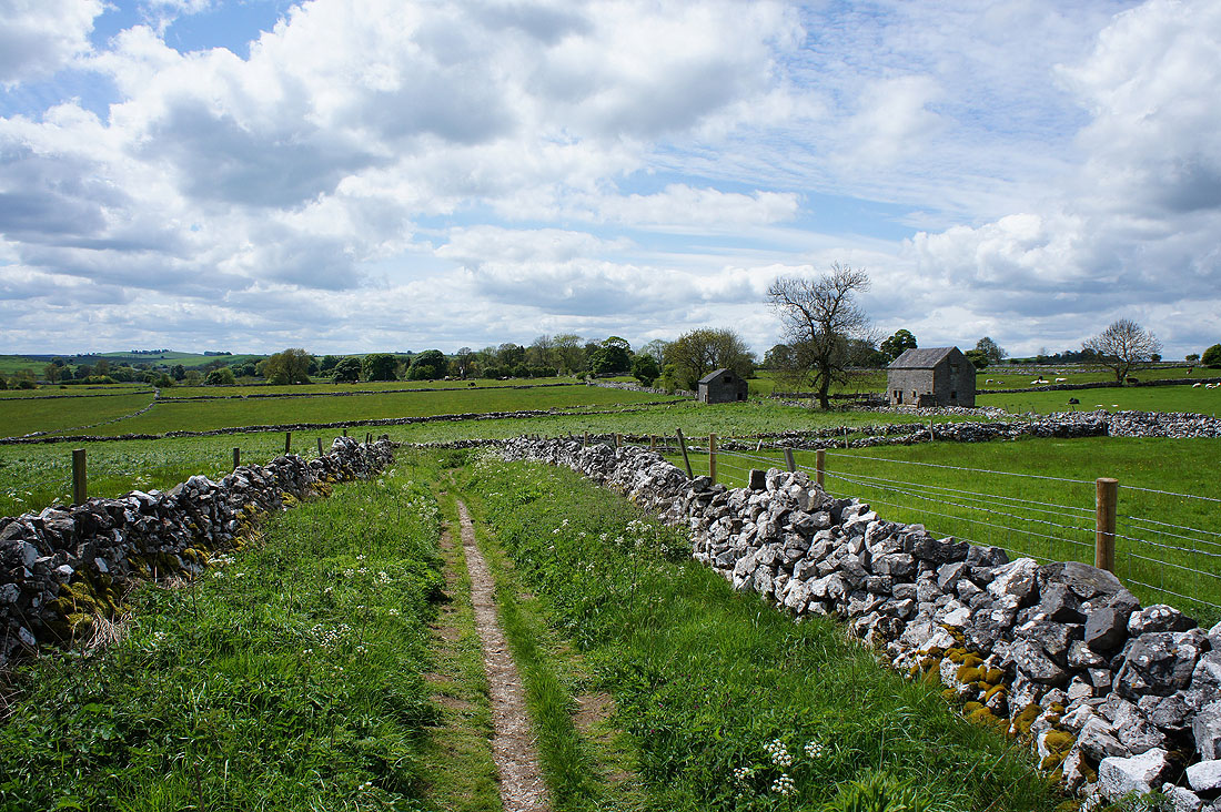
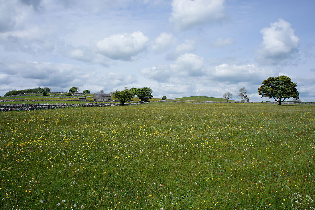
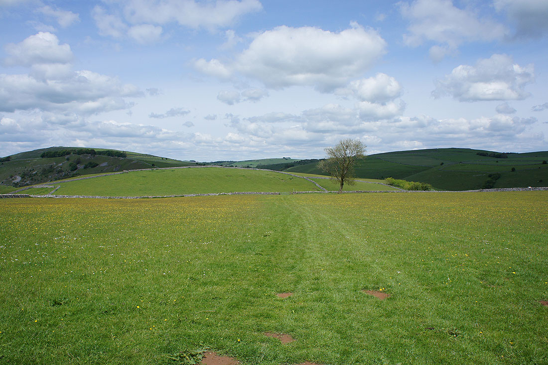
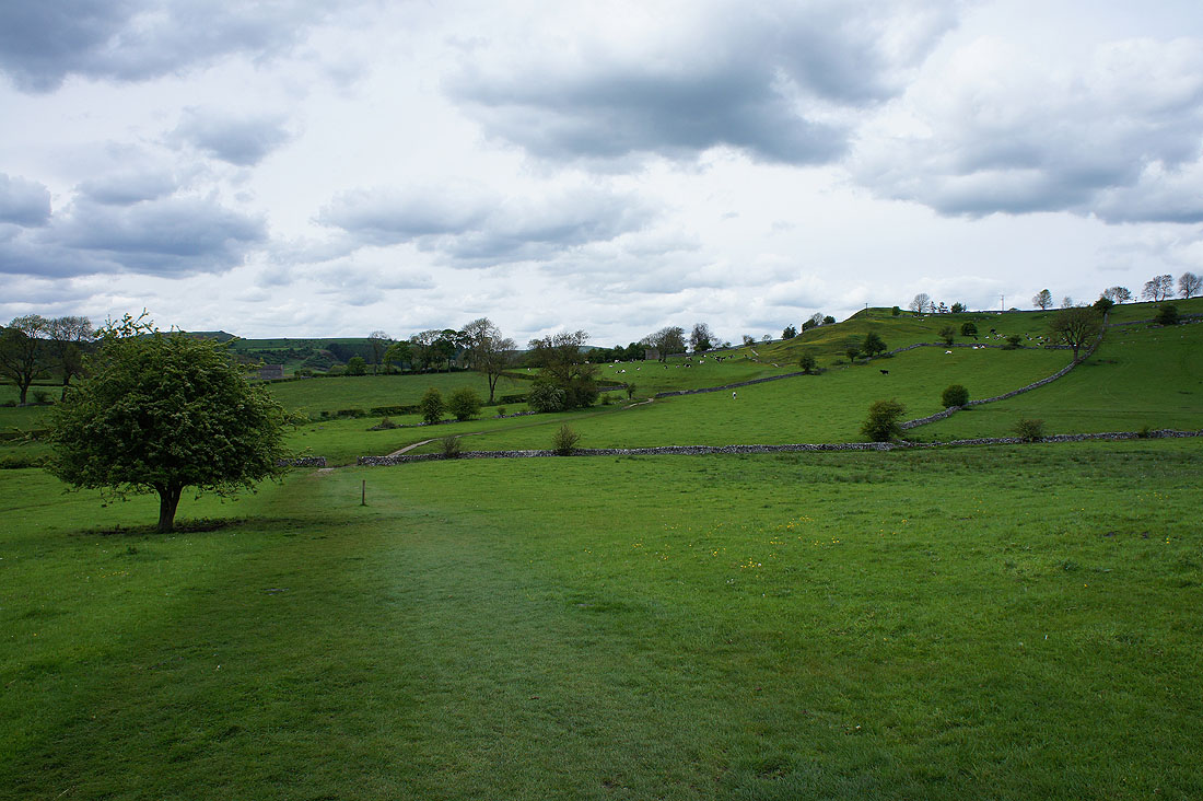
Fantastic views of the upland limestone pastures as we follow the bridleway to Lode Lane...
We soon left Lode Lane for a footpath that heads for Gypsy Bank above Wolfscote Dale
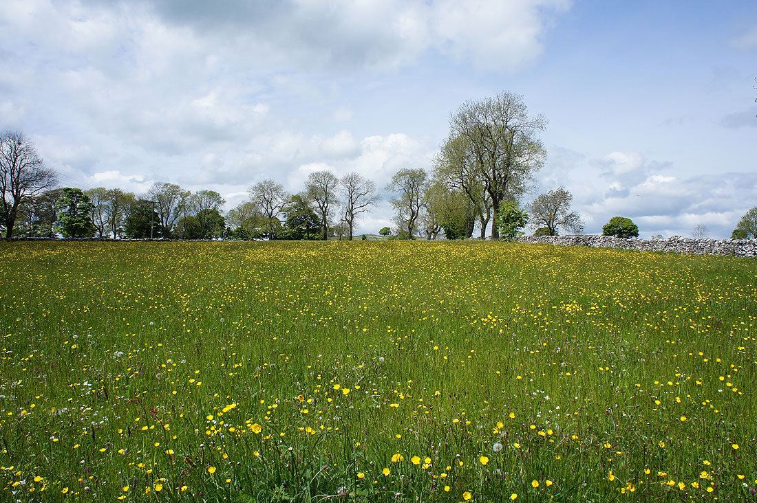
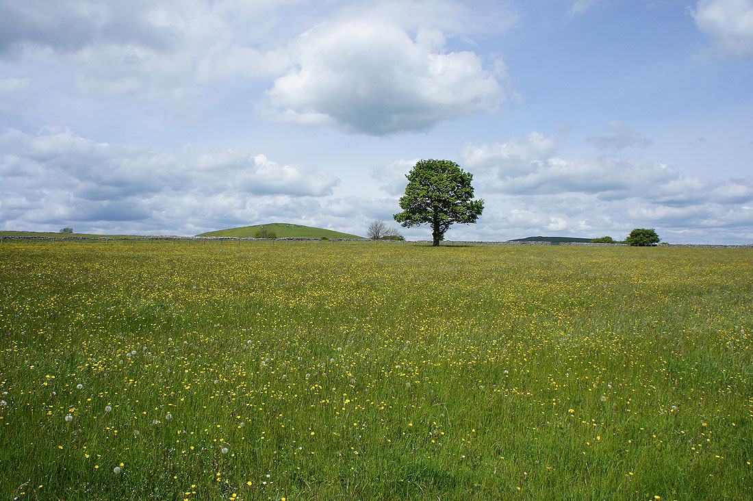
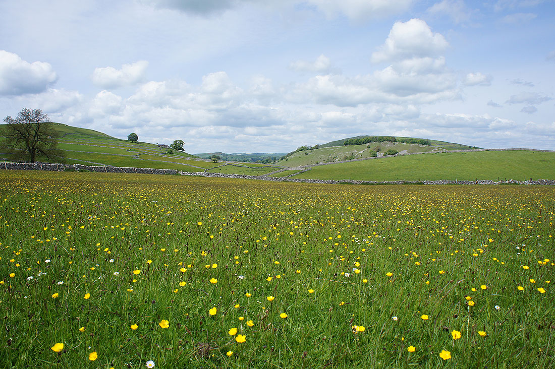
More great scenery, especially the buttercup filled fields. I had to restrain myself from taking more photos.
Starting to head downhill towards Gypsy Bank
Gratton Hill and Wolfscote Hill with a hidden Wolfscote Dale between them
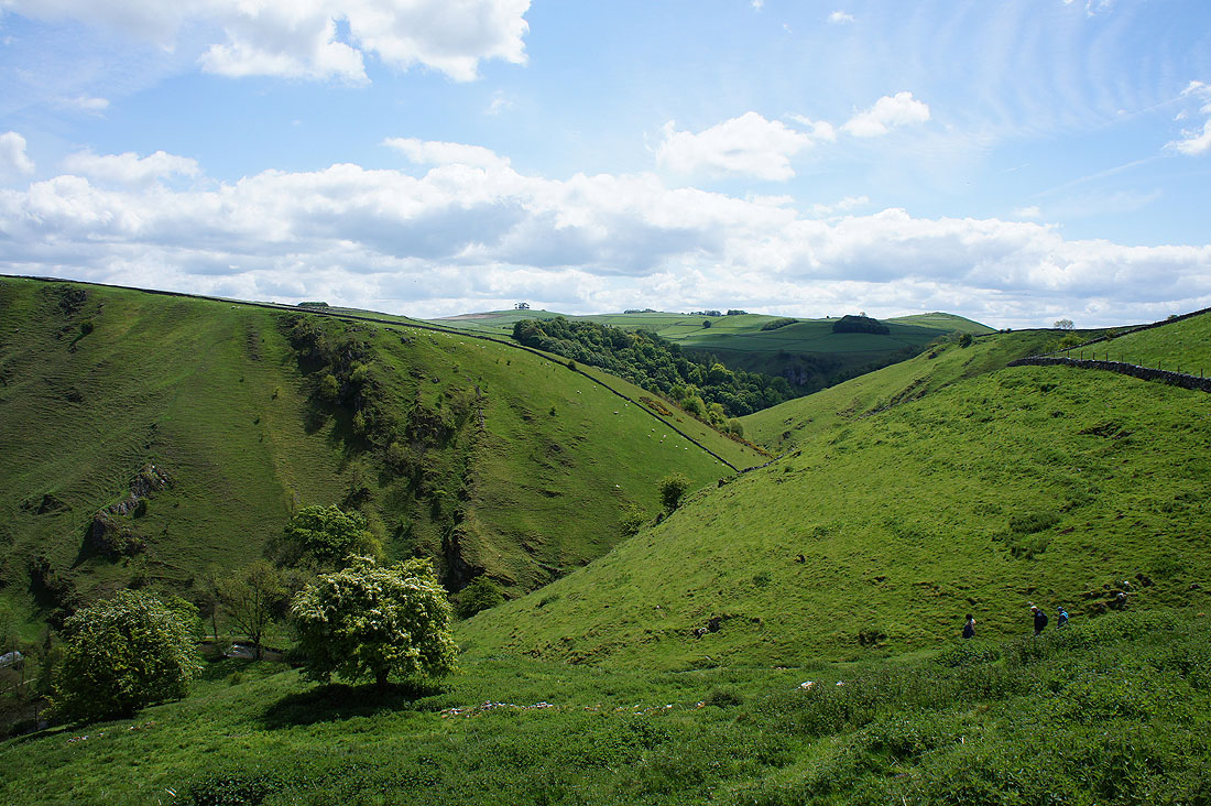
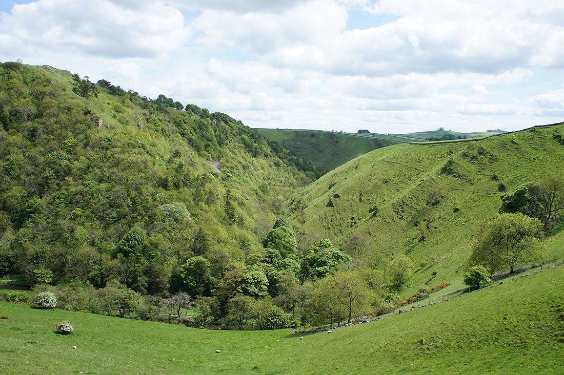
At the top of Gypsy Bank and Iron Tors and Wolfscote Dale suddenly appear below
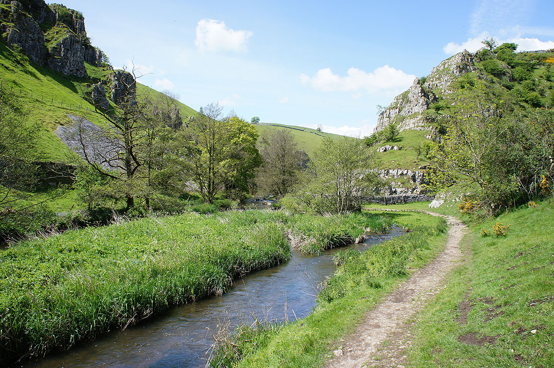
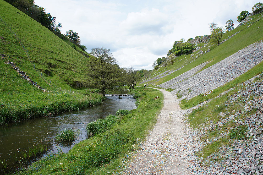
After a steep descent we're heading up Wolfscote Dale..
It was a bit a detour to reach the top of Wolfscote Hill, but worth it for the views
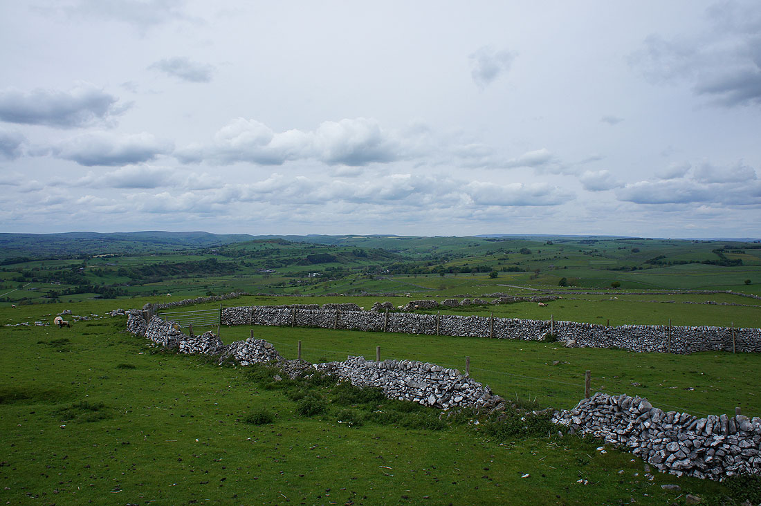
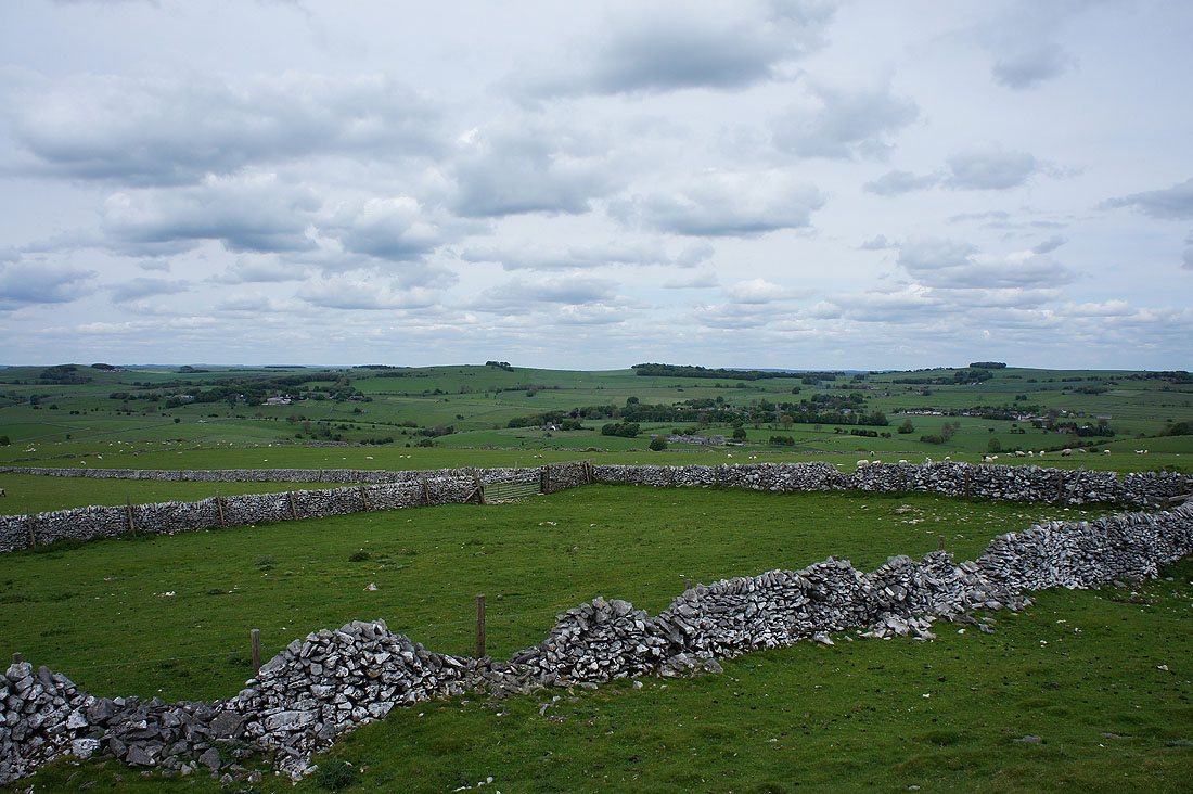
Looking northwest to the hills around the upper valleys of the rivers Manifold and Dove
and northeast to Heathcote and Biggin
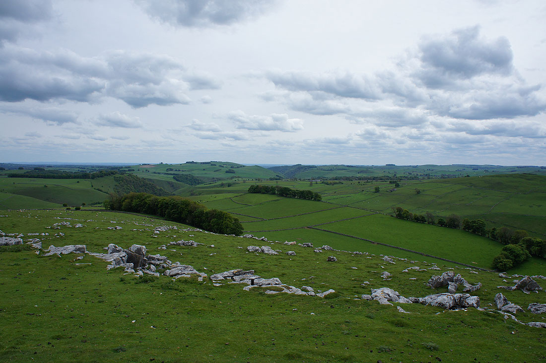
Dove Dale in the distance to the south
Narrowdale Hill, Wetton Hill and Ecton Hill to the southwest
Back down and we leave the entrance to Wolfscote Dale at Frank i' th' Rocks behind
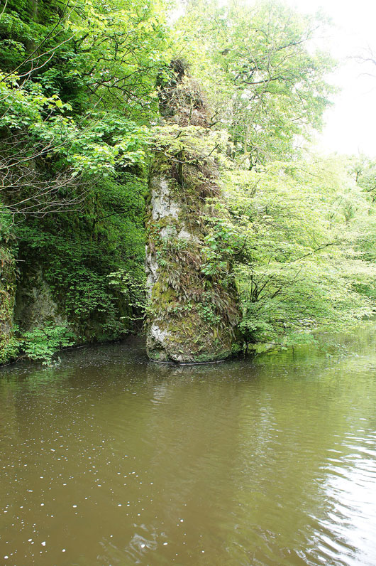
Pike Pool in Beresford Dale
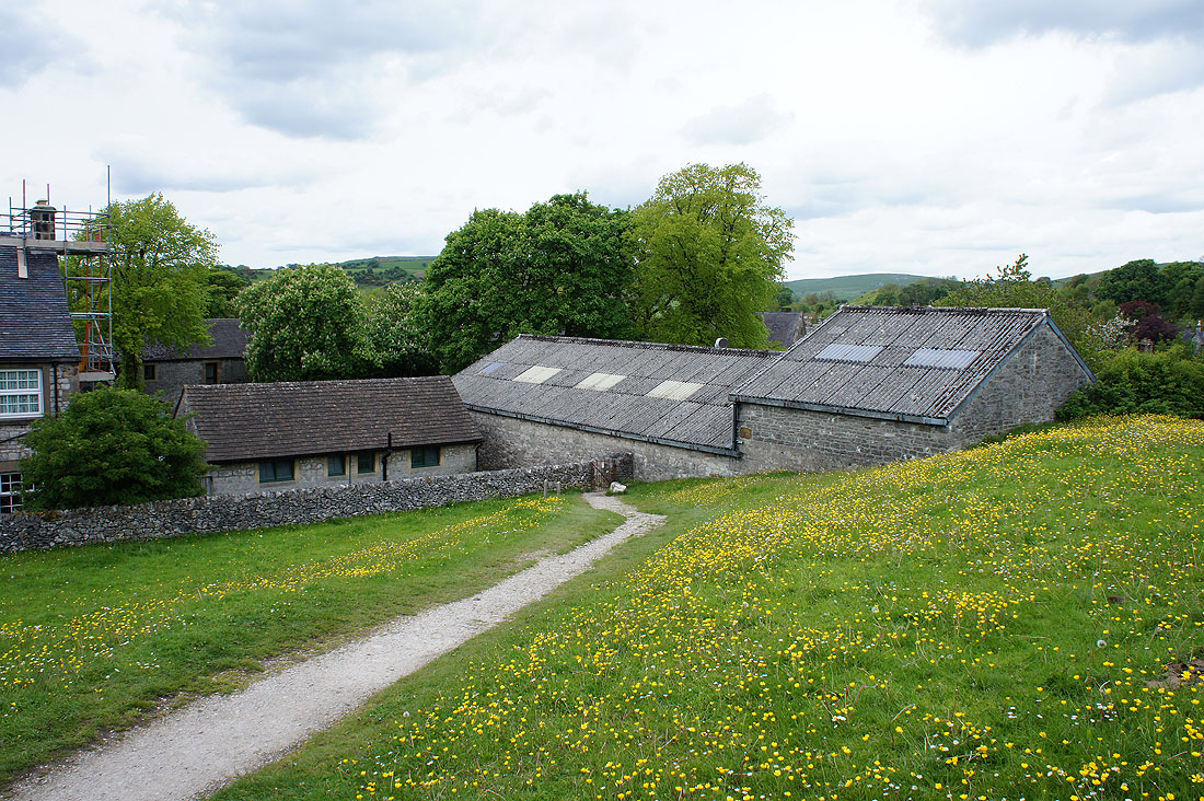
Heading back to Hartington
Our walk comes to an end as the path reaches the back of The Rook Gallery and Cafe. Time for refreshments.
