30th May 2020 - Earl Crag and Wolf Stones
Walk Details
Distance walked: 12.3 miles
Total ascent: 2121 ft
OS map used: OL21 - South Pennines
Time taken: 6.5 hrs
Route description: Ickornshaw-Nan Scar-Gill Lane-Old Lane-Piper Lane-Buck Sone Lane-Earl Crag-Dick Lane-Buck Stone Lane-Lumb Clough-Ellers Road-America Lane-Pole Road-Green Aden-Greystones Lane-Coppy Lane-Slippery Ford Lane-Keighley Moor Reservoir-Pennine Way-Wolf Stones-Pennine Way-Ickornshaw
There's a weekend of fantastic weather forecast. I'm going to head out for a walk on both days, staying close to home, and following paths across my local moors. Today I made the short drive across to Ickornshaw for a walk that included Earl Crag, Lumb Clough and the moorland of Wolf Stones. I was already familiar with most of the countryside I was walking through and the paths I was using, but I did manage to explore some new territory. It was the first time that I'd walked through Lumb Clough above Sutton-in-Craven, well worth a visit, it's a nice bit of woodland. I had hoped to visit the waterfall at the top of the clough but I just couldn't find the right path to get to it. It was a beautiful day for being on the moors with wall-to-wall blue skies and sunshine, the cotton grass in flower, and nice cooling breeze, it was a warm day. It's become quite noticeable just how little rain that there's been during the past couple of months. Even the bits of moorland that would normally be boggy underfoot were bone dry. To avoid having to walk through farmyards I took to the roads.
After parking in a layby at the top of Ickornshaw I walked down the lane of Nan Scar and then up Gill Lane to the A6068. I crossed the A6068 onto Old Lane opposite and then walked up this road to its top and then along Piper Lane and Buck Stone Lane to the east until I reached a layby on the left and the path north to Earl Crag. I then made my way east along Earl Crag from Wainman's Pinnacle to Lund's Tower, and then down to Dick Lane below. Road walking next, south along Dick Lane, and then east down Buck Stone Lane until I reached a footpath on the right as the road steepens. This path was followed across a field to Lumb Clough, where I turned left and followed a path down through the woodland to the beck and a footbridge. Across the footbridge and I took the bridleway up to Ellers Road. I then had a walk up Ellers Road until I reached the byway of America Lane, which I followed south to Pole Road, and a walk east along this road until I reached a bridleway on the right. I took this bridleway south across moorland to Greystones Lane. More road walking next; west along Greystones Lane and Coppy Lane, then south along Slippery Ford Lane to Morkin Bridge and the access road for Keighley Moor Reservoir. I then walked up the access road to Keighley Moor Reservoir, then the path from there up to the Pennine Way. I followed the Pennine Way to the northwest, then left it to visit the trig point on Wolf Stones. After taking in the view I returned to the Pennine Way and followed it north, across Ickornshaw Moor, down to and around the valley of Dean Brow Beck, past Lower Summer House Farm, and back to Ickornshaw and where I was parked.
Route map
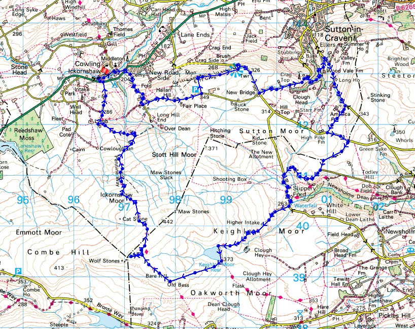
© Crown copyright. All rights reserved. License number PU 100034184.
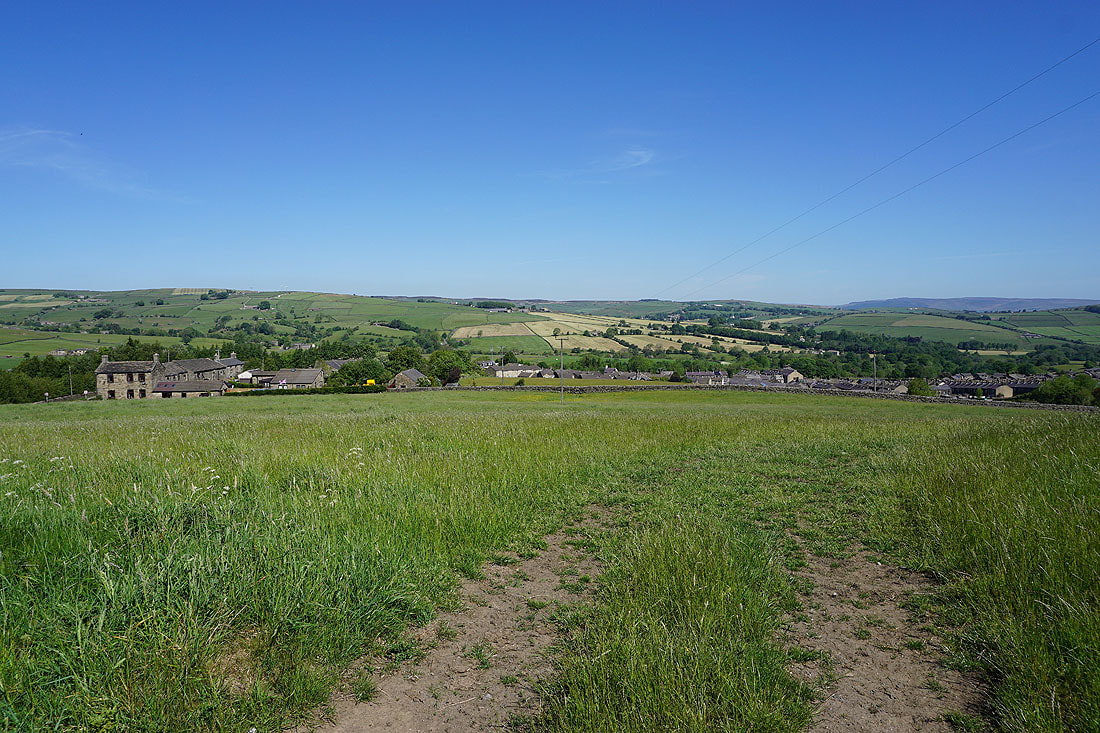
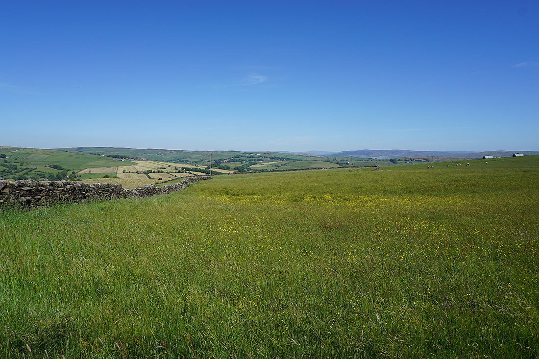
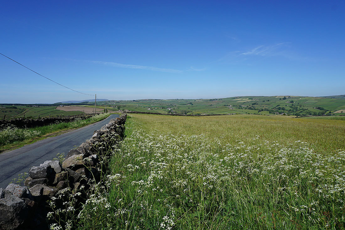
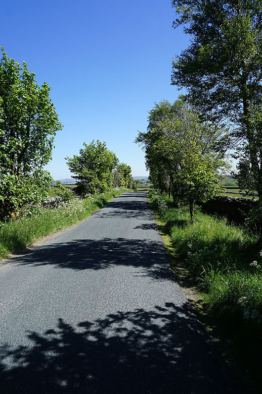
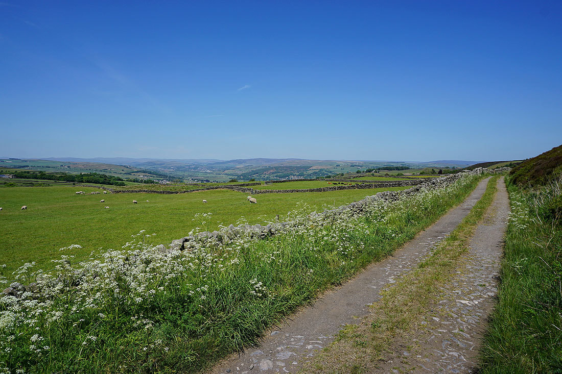
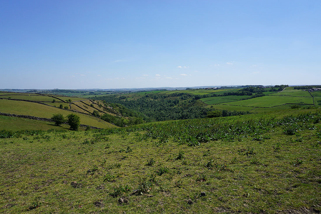
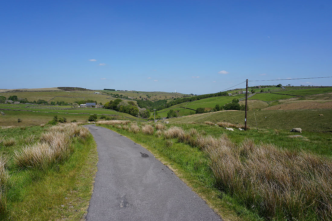
Looking back to the moorland above Cowling and around Lothersdale as I walk up Old Lane..
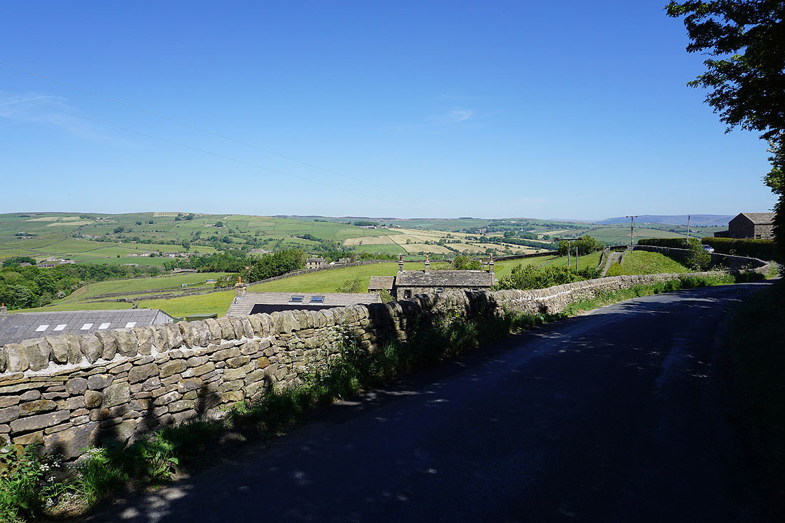
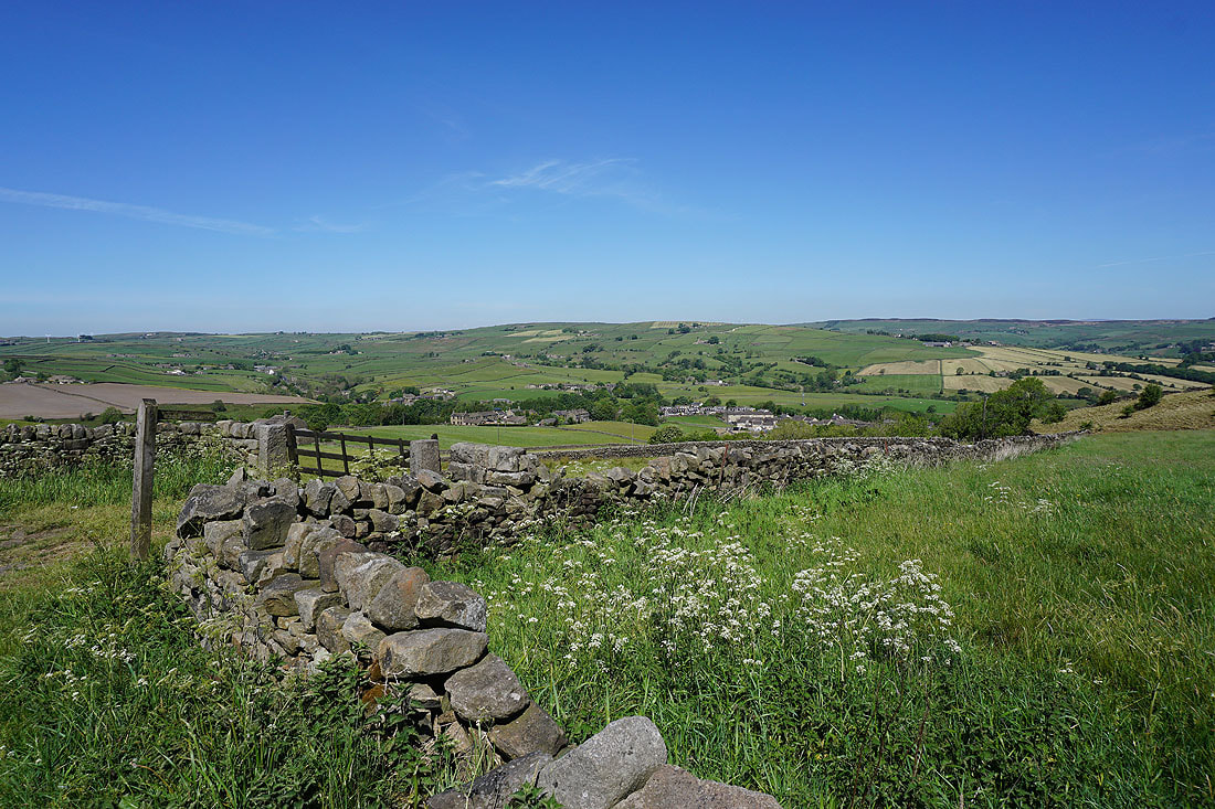
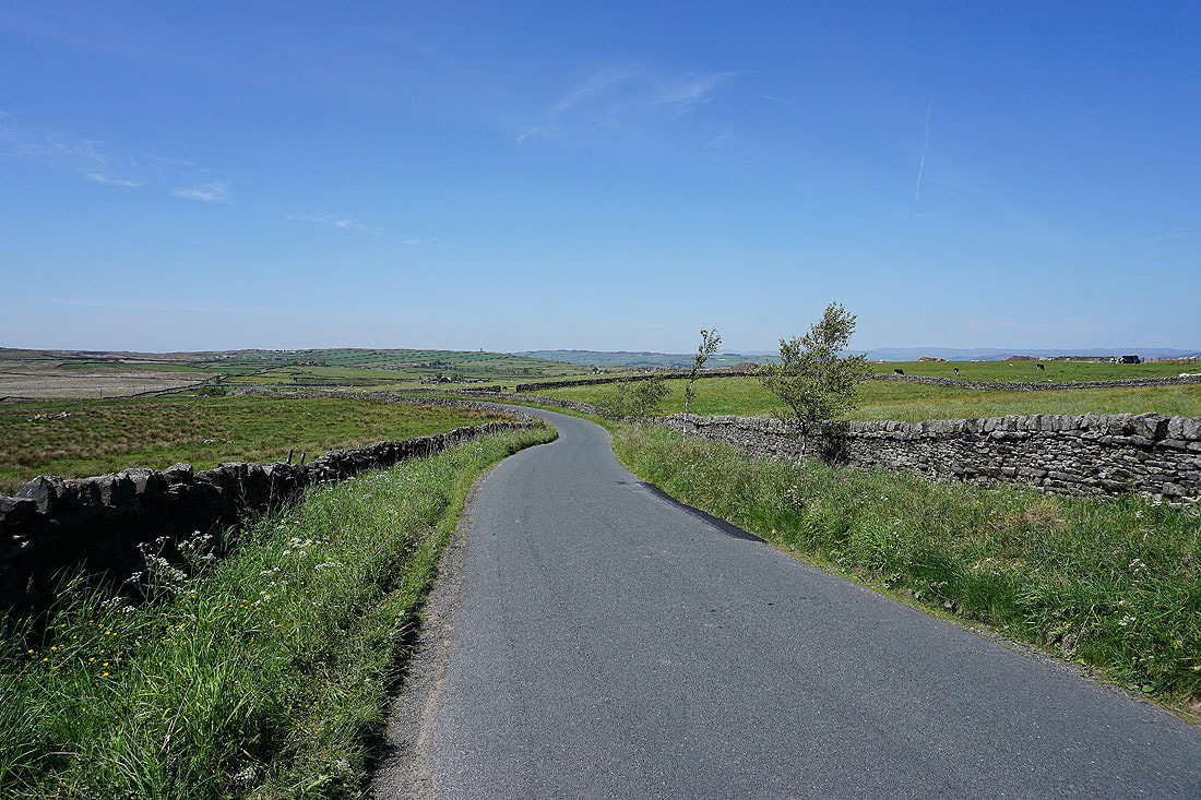
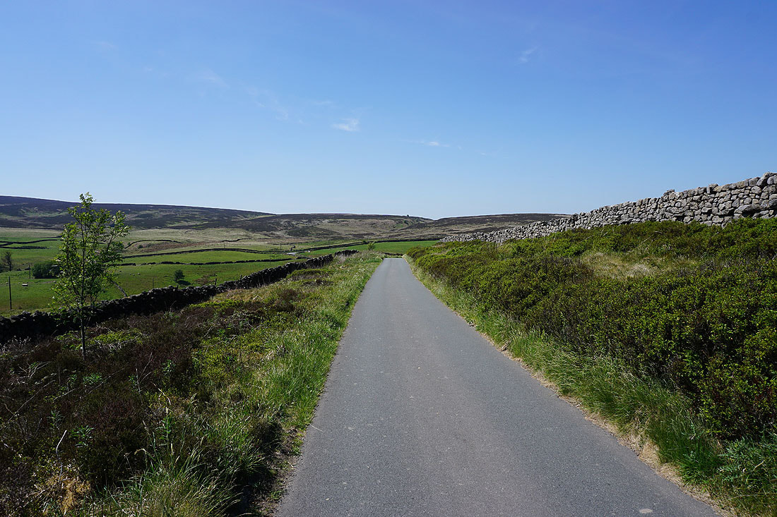
and then as I walk up Piper Lane...
Pendle Hill in the distance as I cross the moorland to Wainman's Pinnacle
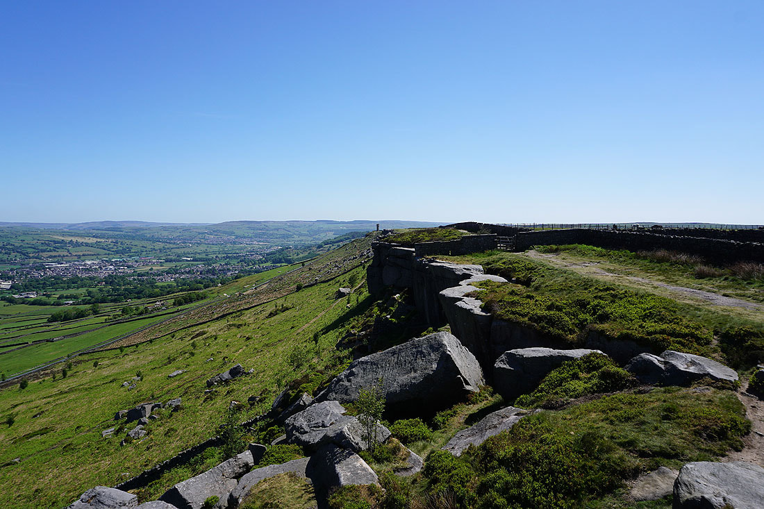
Looking east along Earl Crag to Lund's Tower
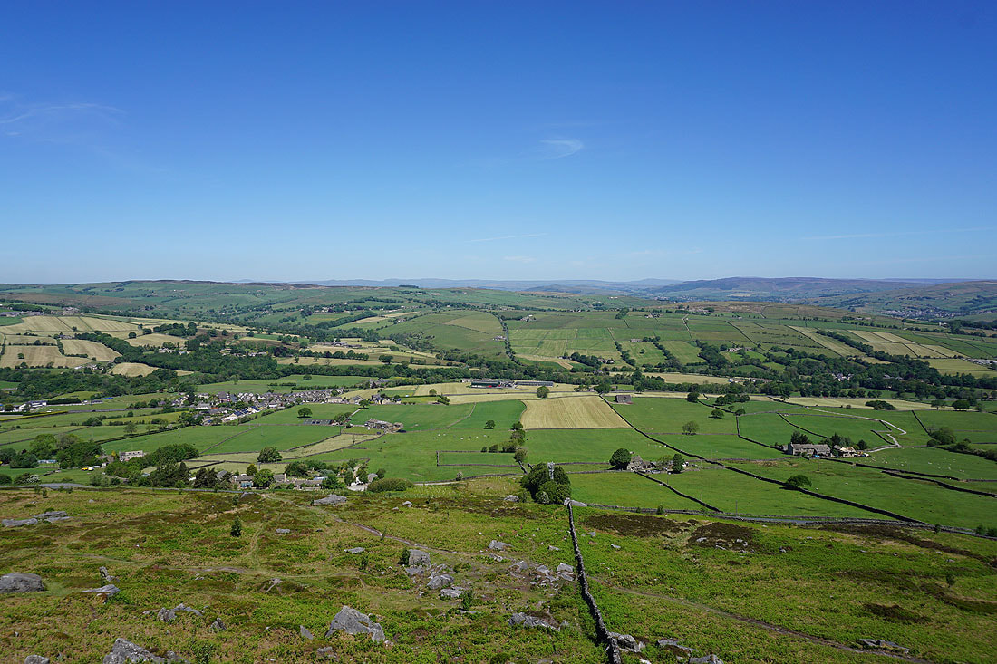
There's a great view to the north across the moorland around Airedale to the Yorkshire Dales
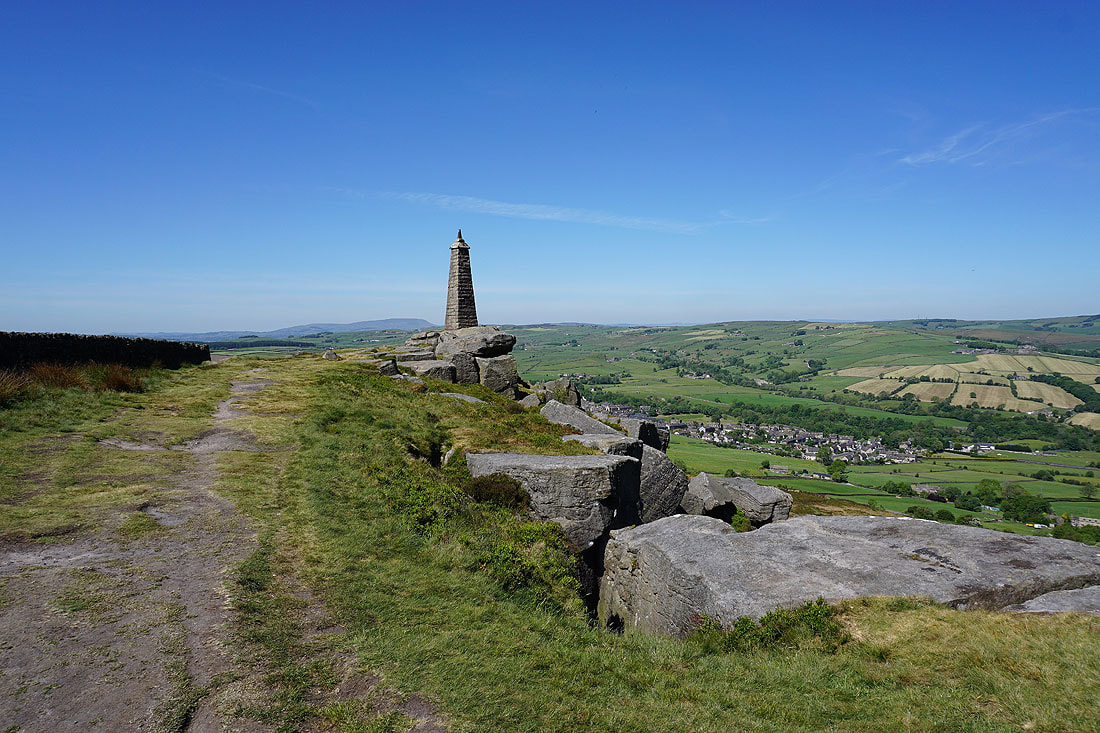
Wainman's Pinnacle, with Pendle Hill in the distance and Cowling in the valley below
Leaving Wainman's Pinnacle behind and heading east along Earl Crag to Lund's Tower..
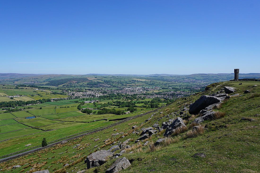
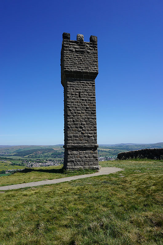
Lund's Tower
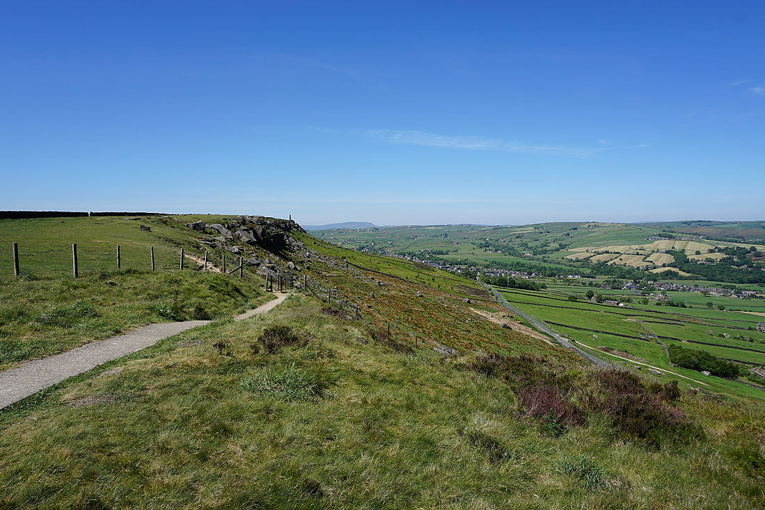
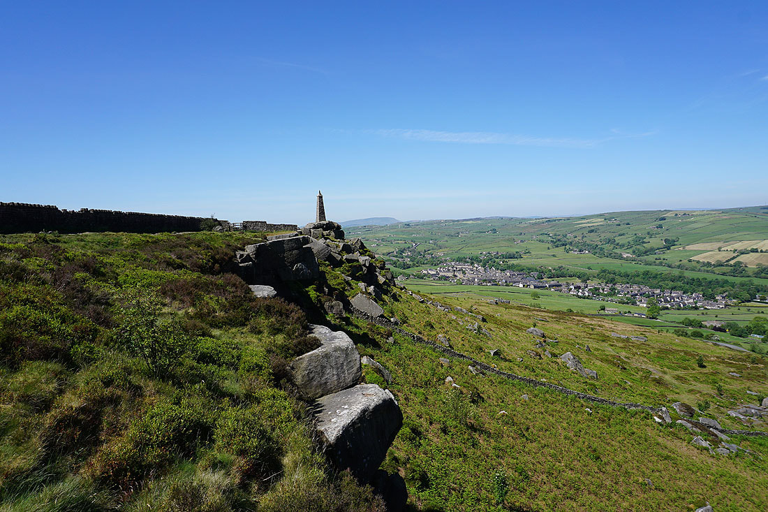
Looking west along Earl Crag to Wainman's Pinnacle
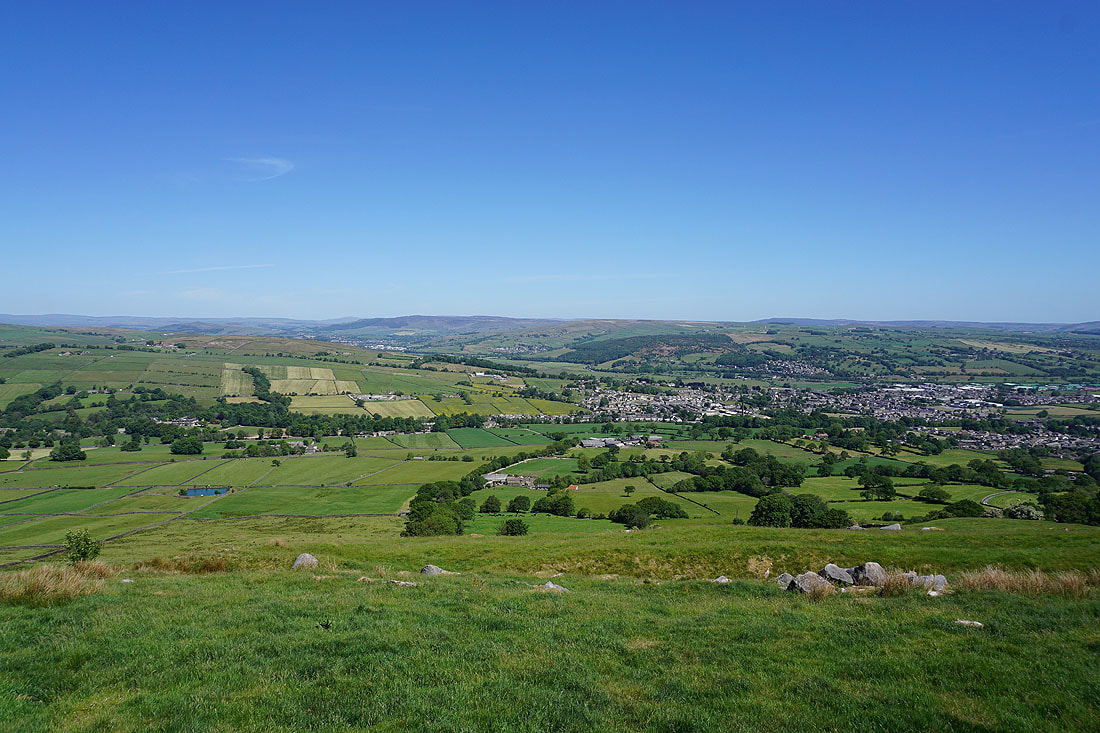
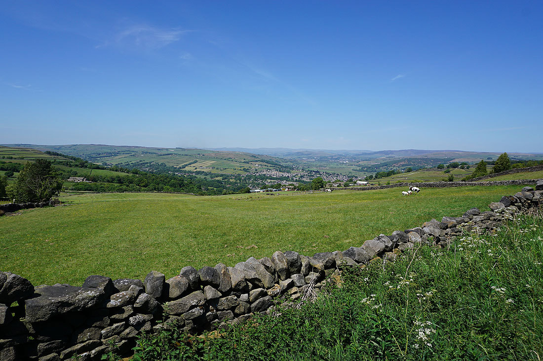
The moorland of Airedale. Skipton is below Barden Moor in the distance, with Glusburn, Cross Hills, Farnhill, and Sutton-in-Craven in the valley below.
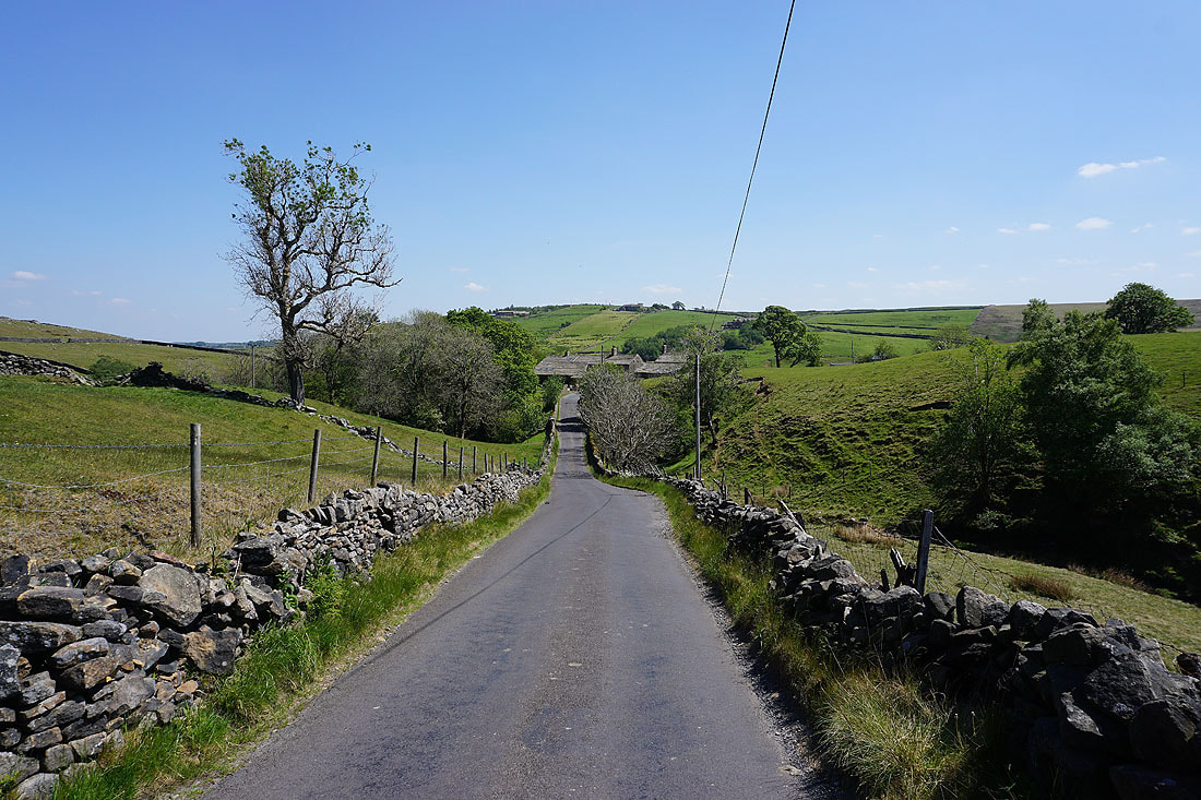
Heading east down Buck Stone Lane
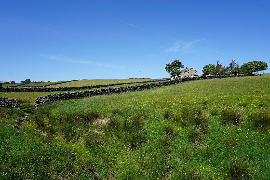
Crag Top Farm above the infant Lumb Clough Beck
|
|
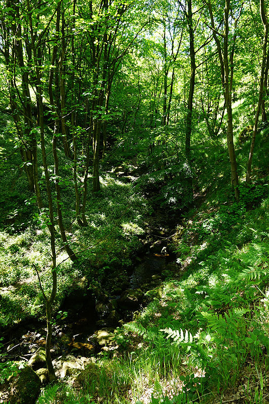
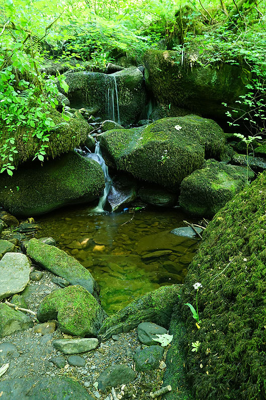
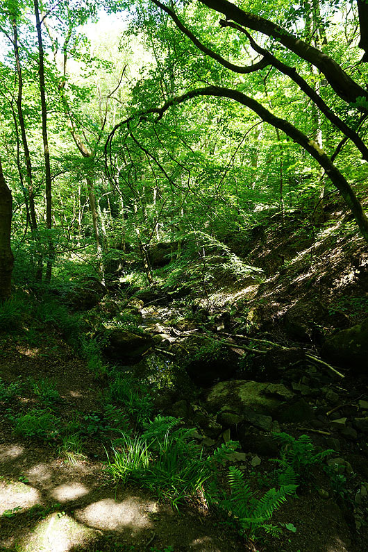
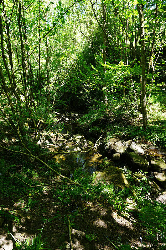
A few photos of Lumb Clough as I followed the beck downstream. Cool and shady, a welcome break from the heat of the sun, but not for long....
|
|
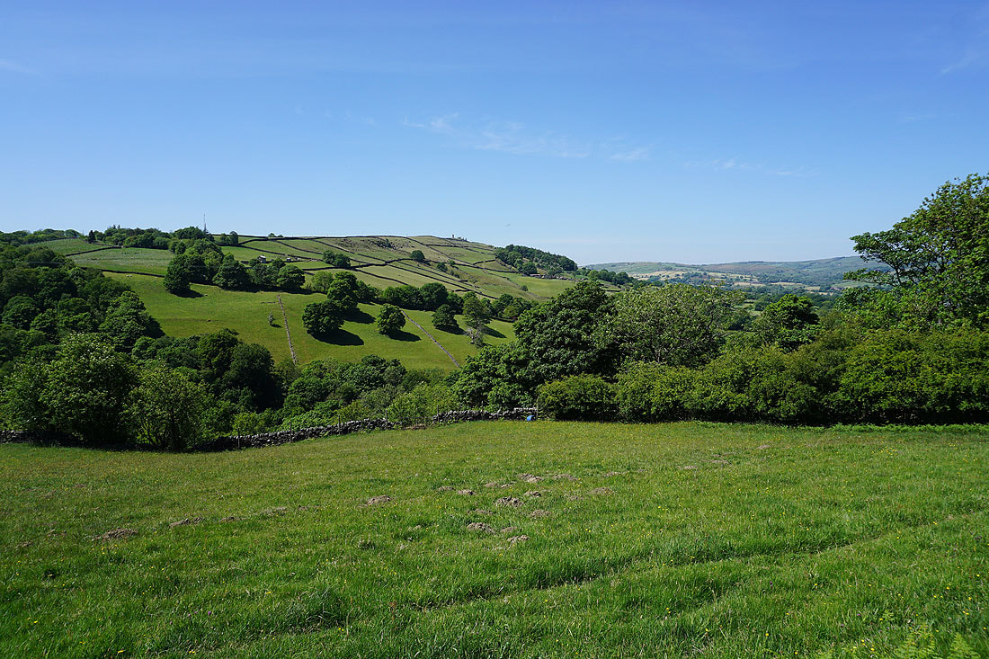
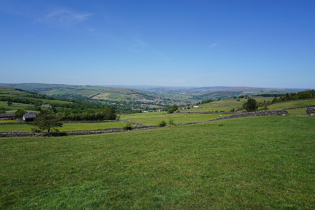
Looking across Lumb Clough from Ellers Road and I can make out Lund's Tower on top of the hillside opposite
Lumb Clough and Glusburn Moor
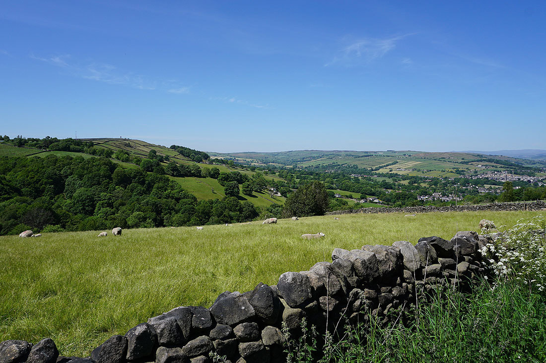
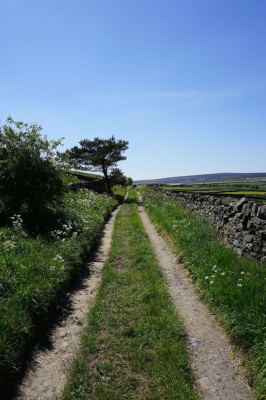
Walking up Ellers Road may be a bit of a slog but I do have the compensation of a great view up Airedale when I turn around..
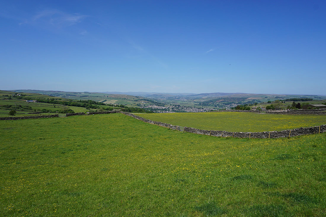
Glusburn Moor, Glusburn, Cross Hills, Airedale, Barden Moor and Skipton Moor as I take the byway of America Lane..
More great views of the Airedale moors from America Lane..
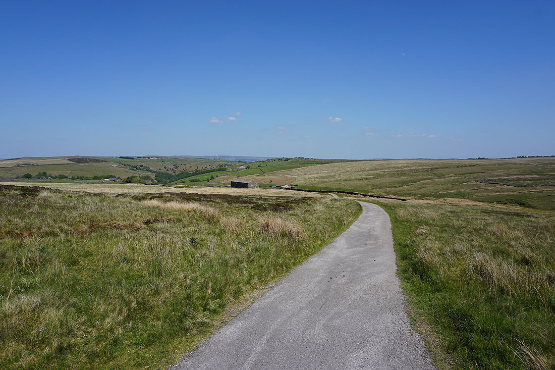
The moorland above Earl Crag in the distance as I walk up Pole Road
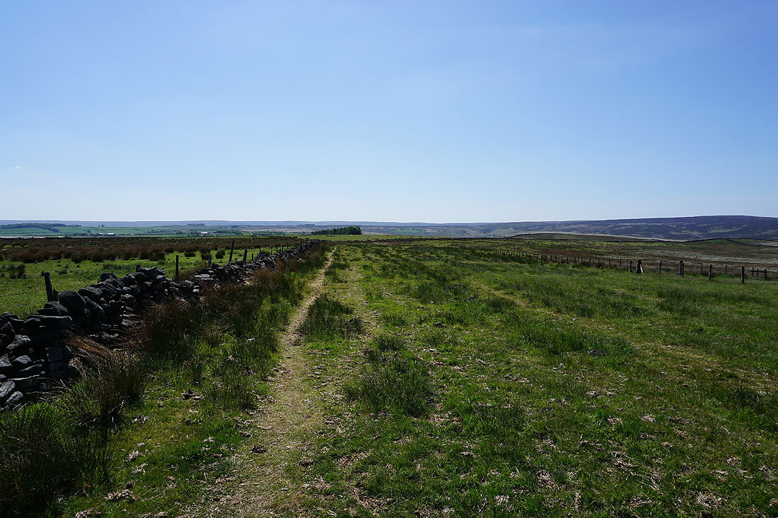
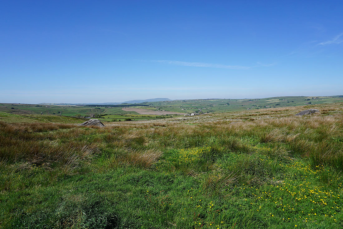
Pole Road was left for the bridleway across the moorland of Green Aden to Greystones Lane..
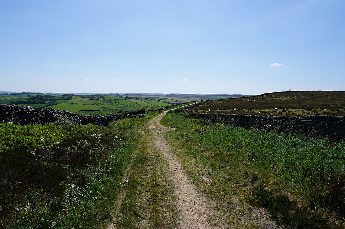
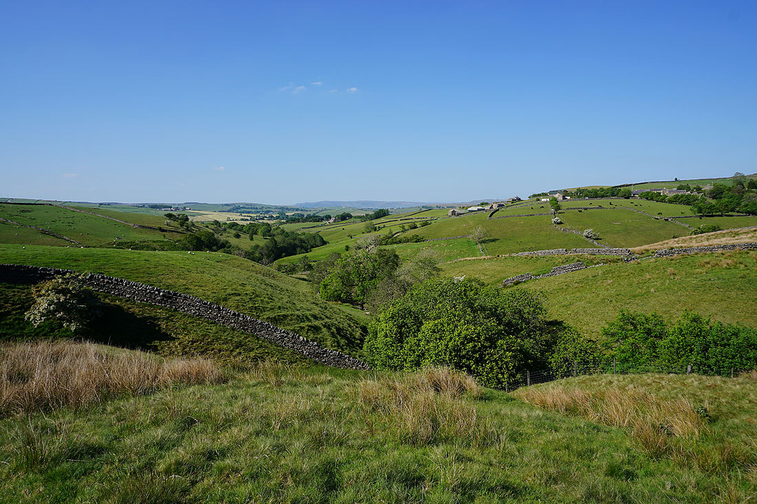
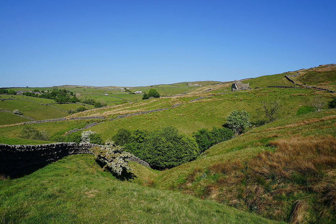
The valley of Newsholme Dean from Greystones Lane
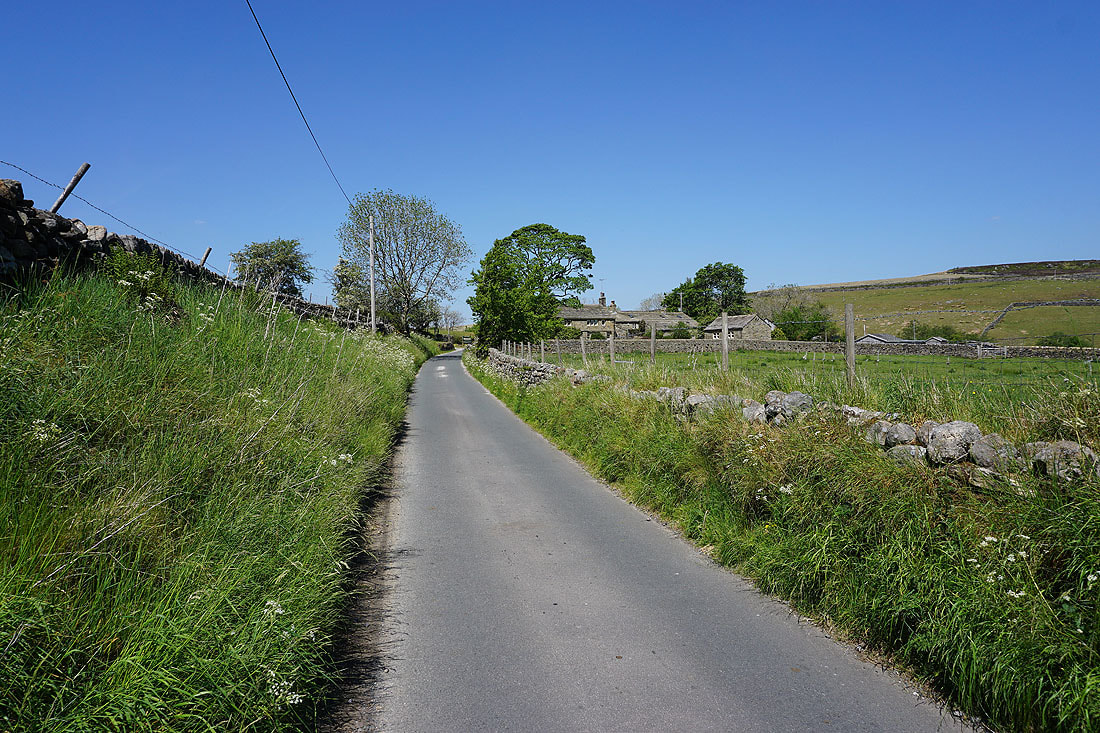
Heading west along Greystones Lane
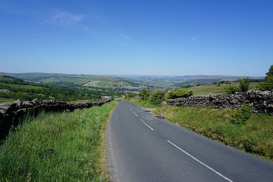
and then south down Slippery Ford Lane
Past Middle Slippery Ford Barn
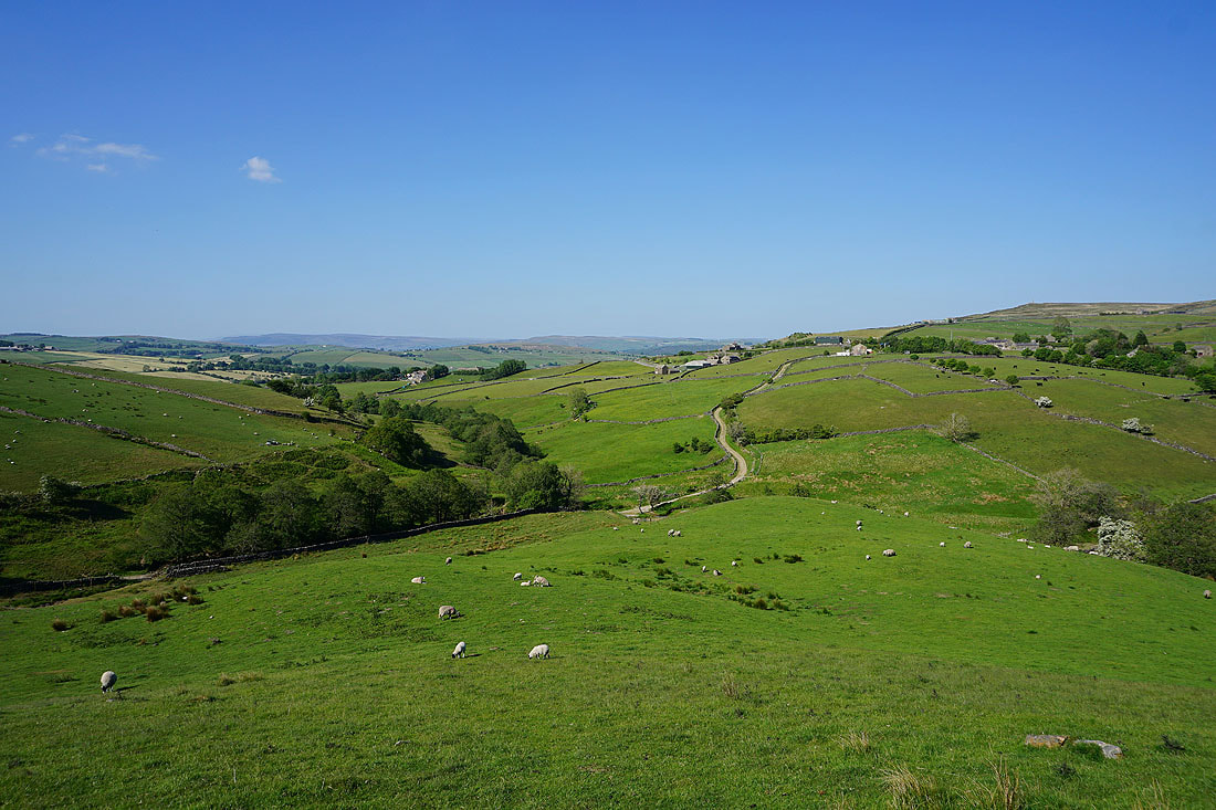
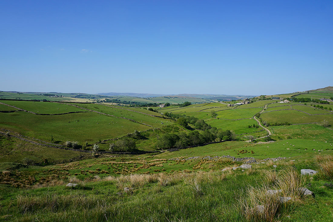
Looking back to the valley of Newsholme Dean as I walk up the access road to Keighley Moor Reservoir..
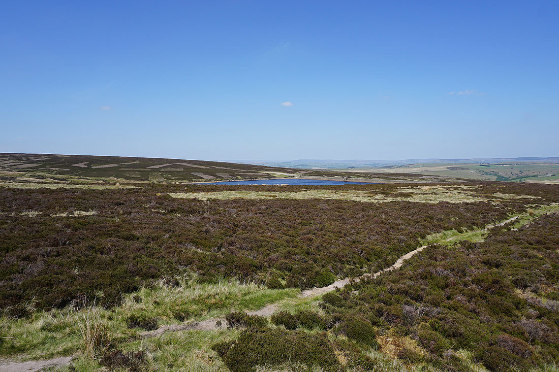
Keighley Moor Reservoir
Looking east across Oakworth Moor
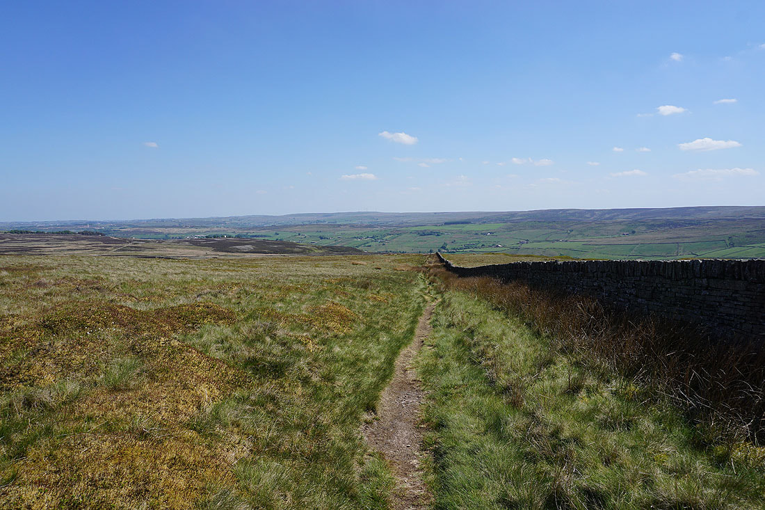
The Worth Valley below as I join the Pennine Way
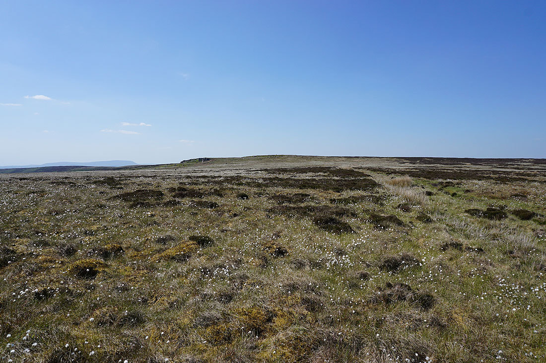
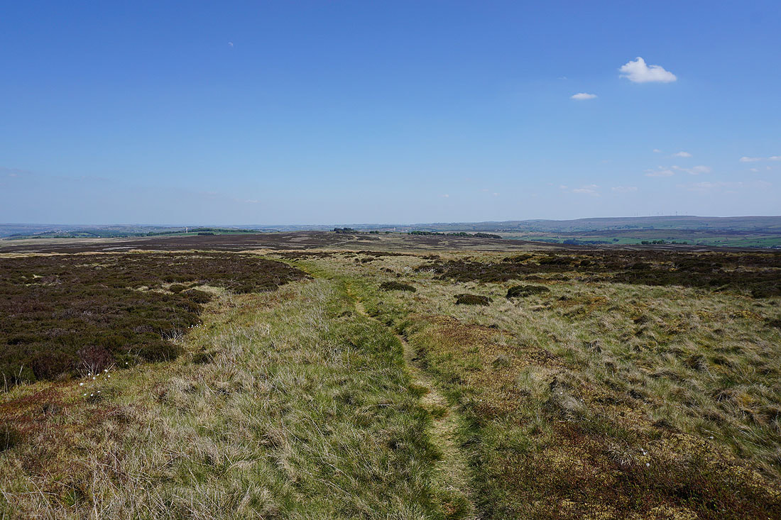
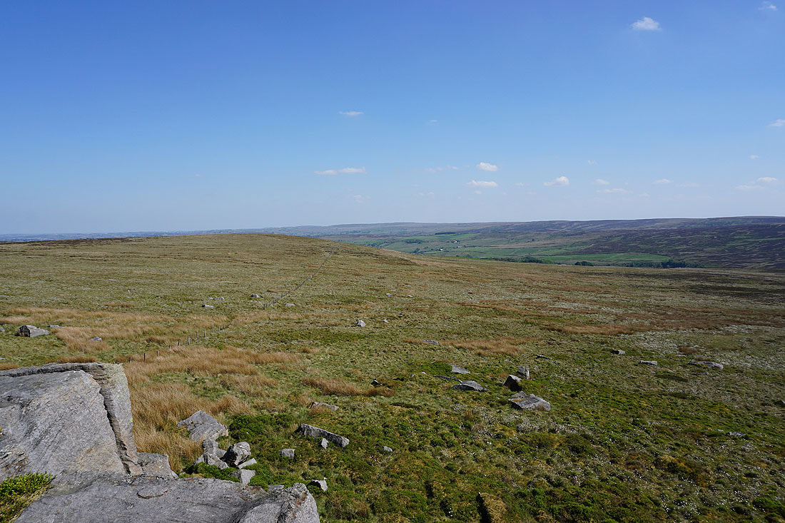
As I follow the Pennine Way to the northwest Wolf Stones comes into view across a cotton grass covered moorland...
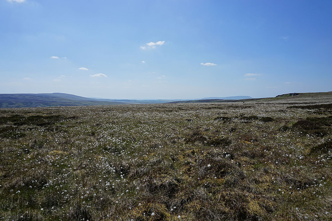
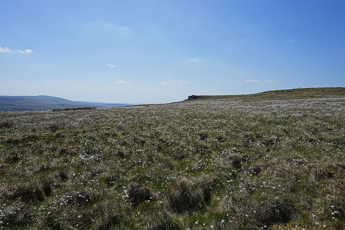
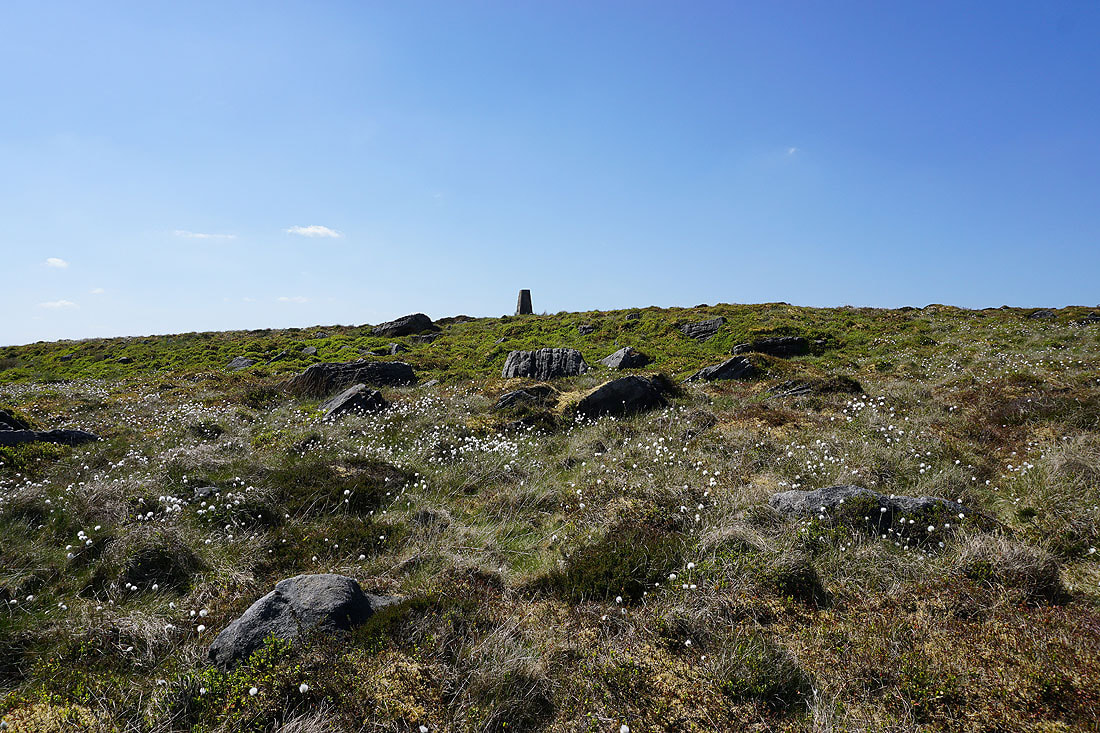
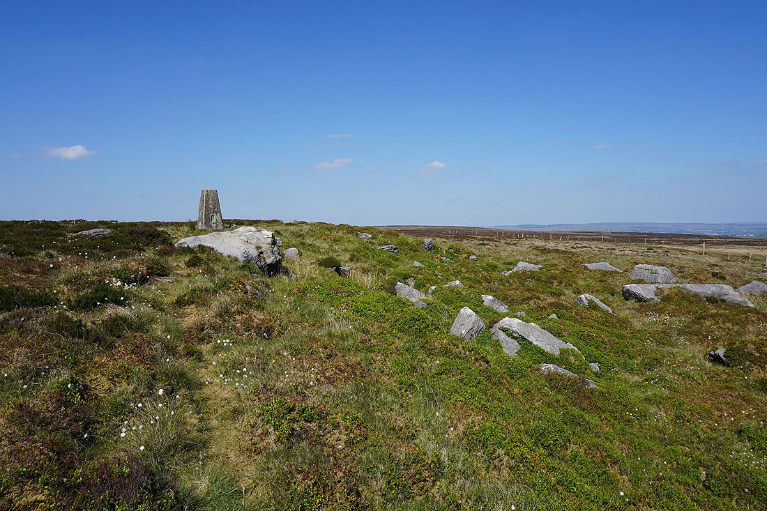
Up to the trig point
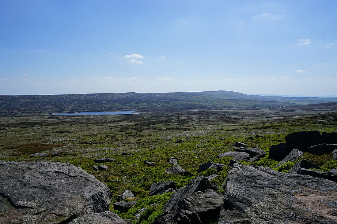
Watersheddles Reservoir and Boulsworth Hill from Wolf Stones
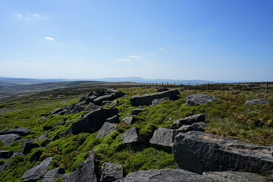
Pendle Hill in the distance beyond Combe Hill..
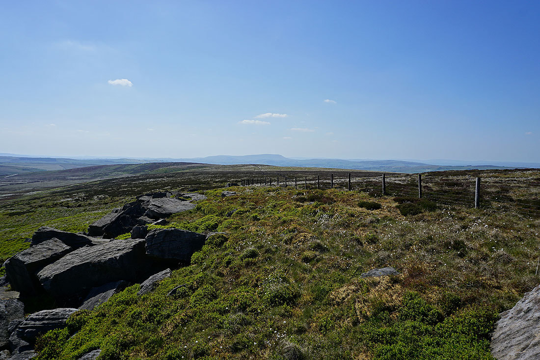
Looking across the Worth Valley to Nab Hill in the distance
Back up to the trig point..
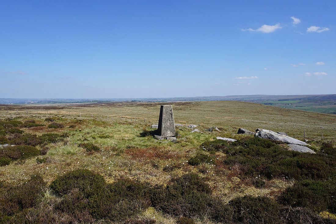
..and a view to the east across Oakworth Moor and Bronte Country
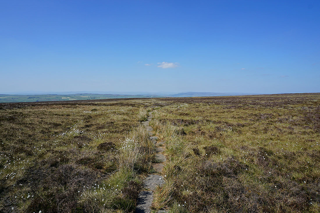
Back onto the Pennine Way and heading north across Ickornshaw Moor
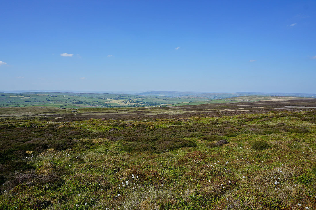
There's a great view to the north of the moors around Lothersdale, Barden Moor and Skipton Moor
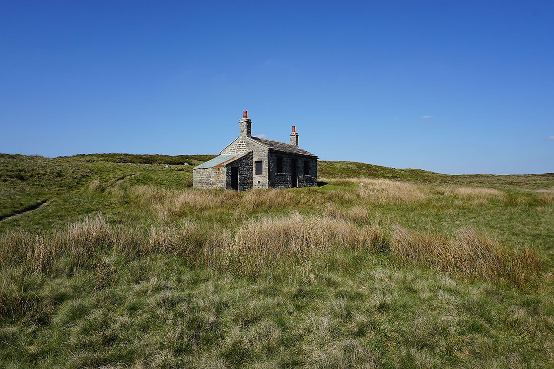
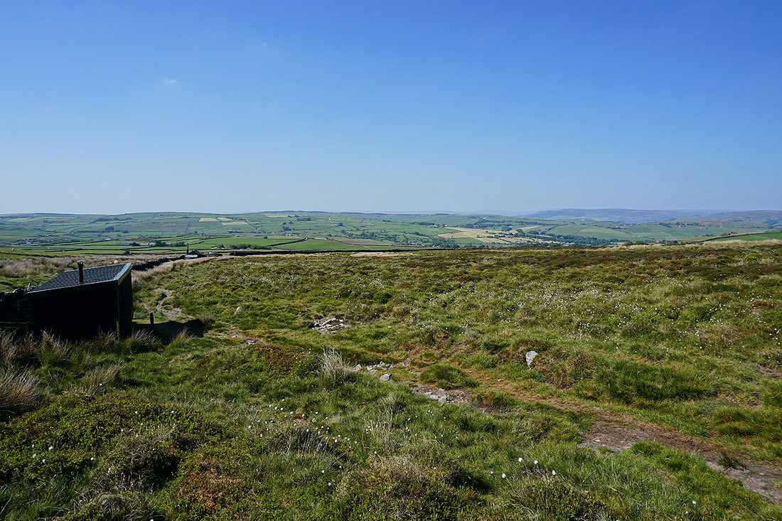
Lower down and I pass a number of shooting huts..
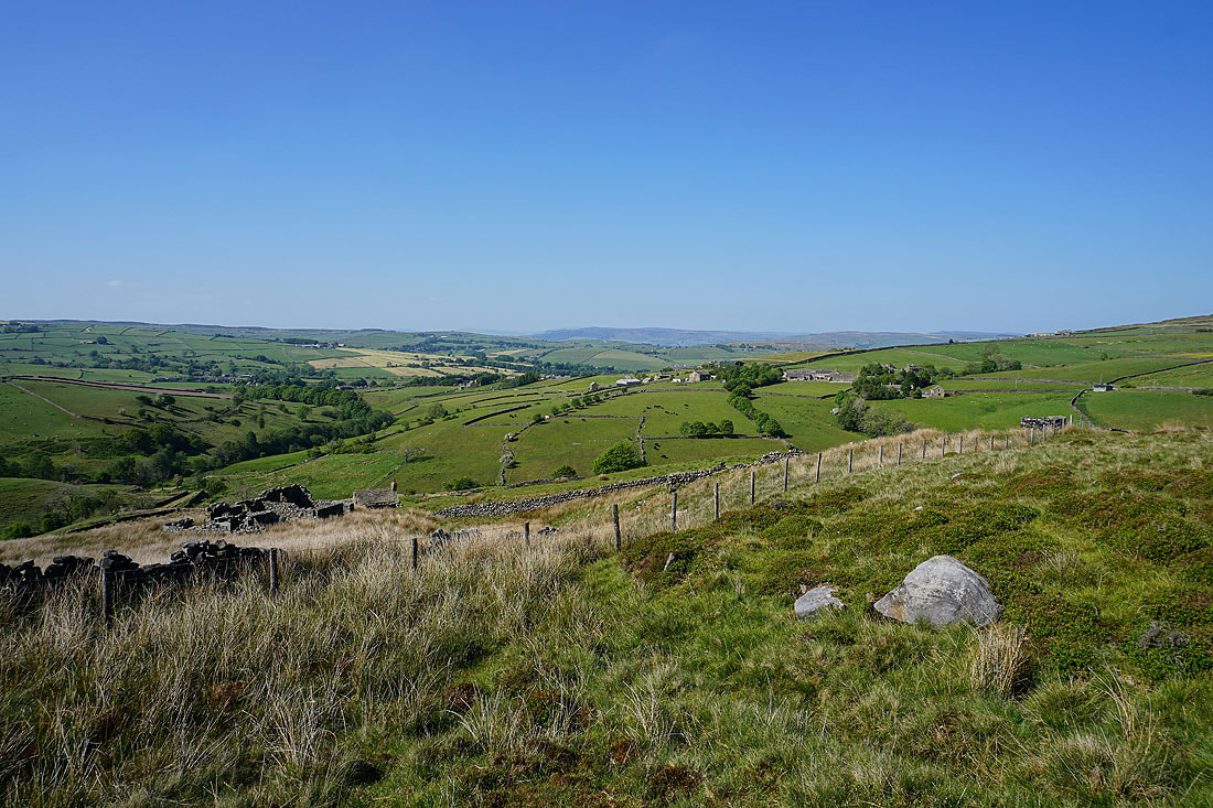
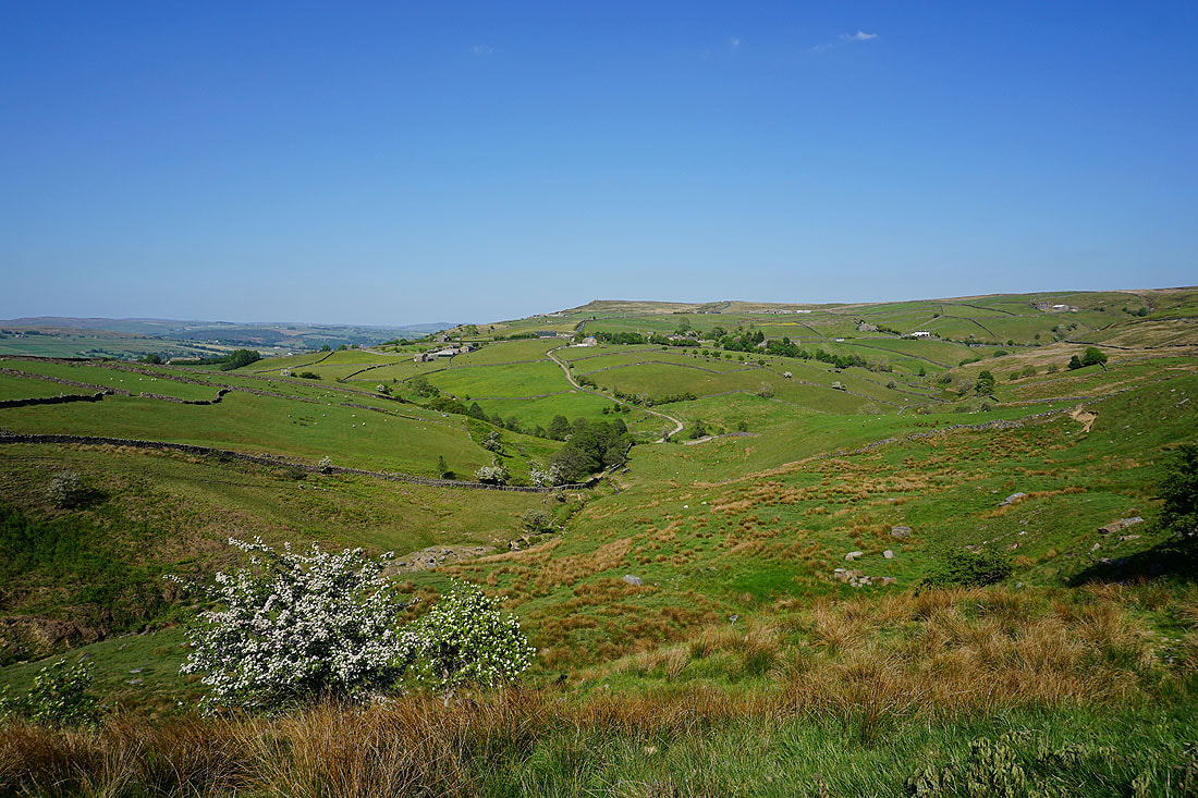
The Pennine Way heads down to and around the valley of Dean Brow Beck, which looks great at the end of the afternoon on a fine spring day......
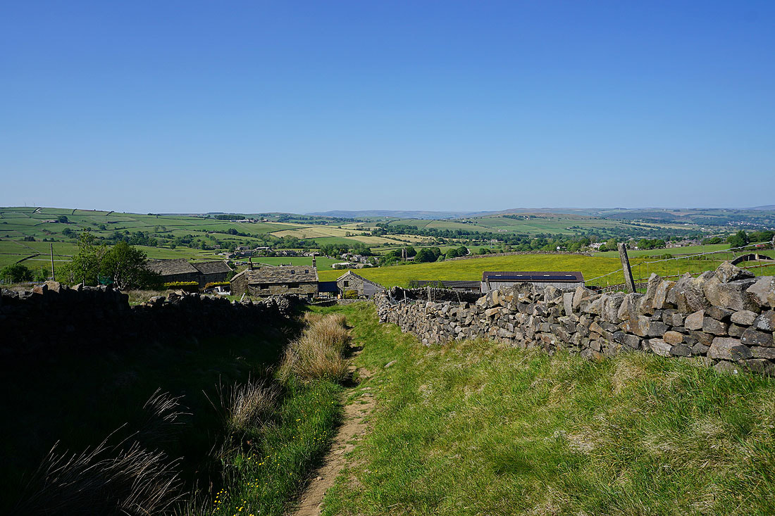
Heading down to Lower Summer House Farm
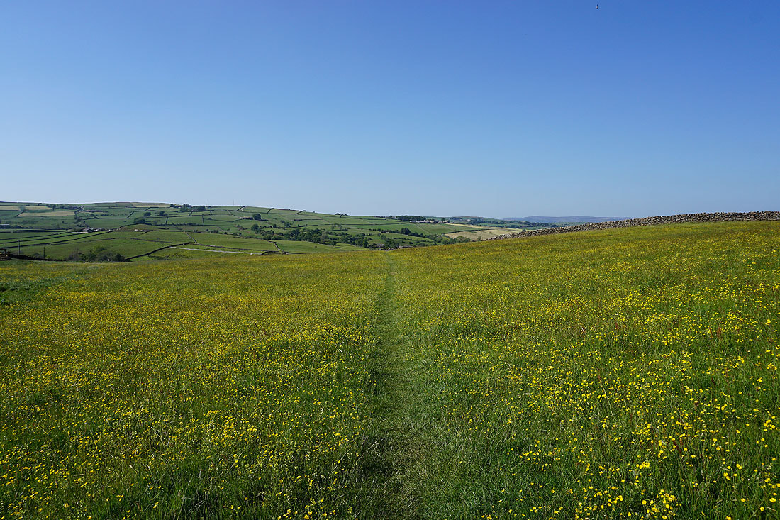
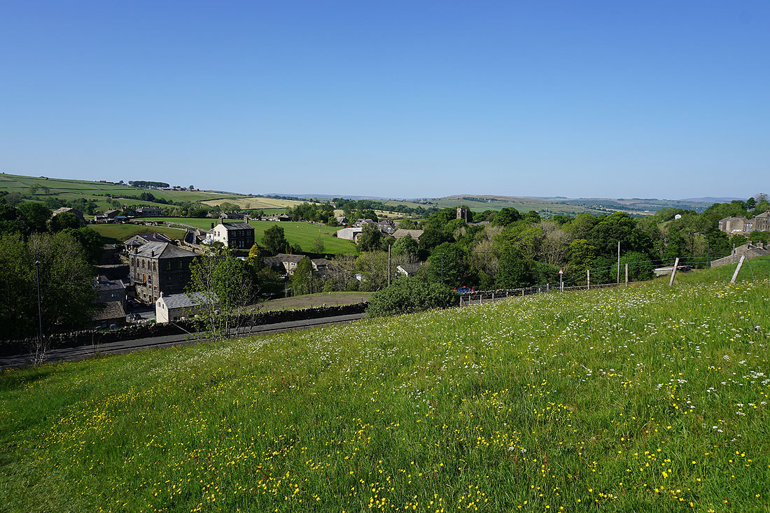
Beautiful buttercup filled fields..
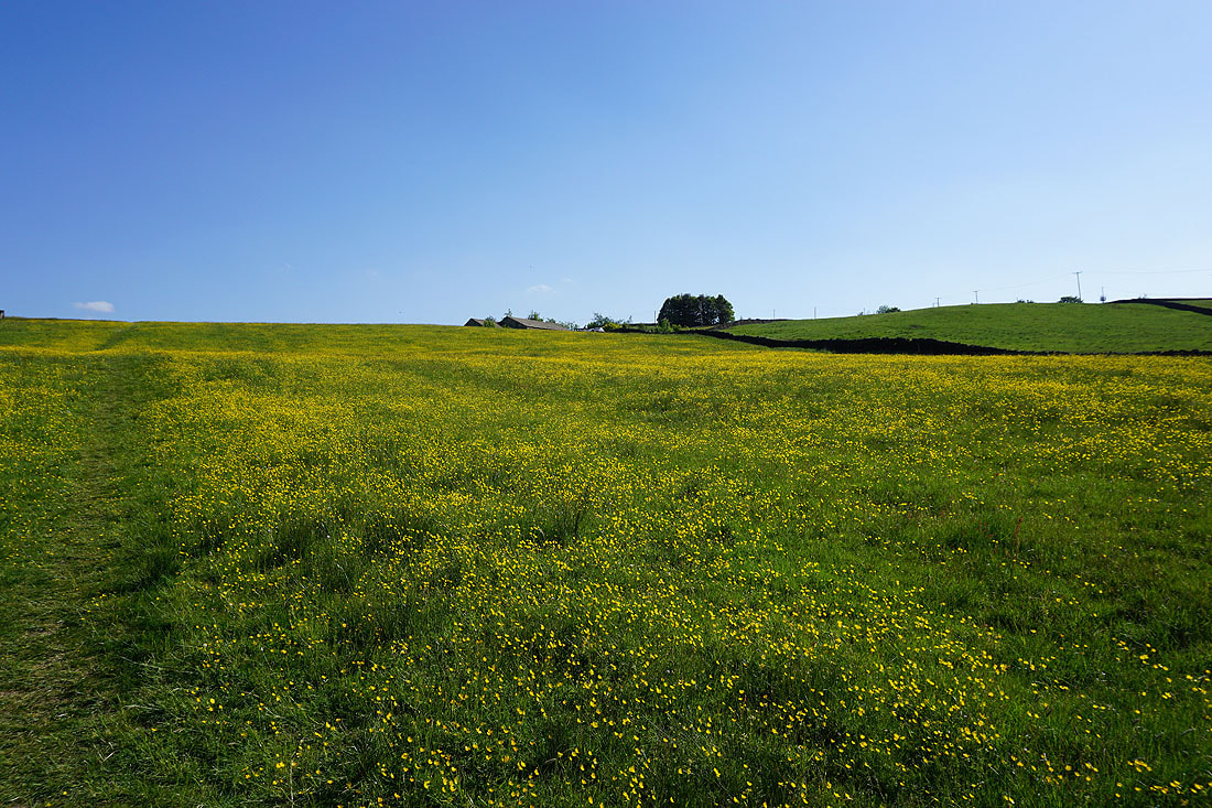
Returning to Ickornshaw