30th May 2021 - Fountains Fell
Walk Details
Distance walked: 14.1 miles
Total ascent: 2005 ft
OS map used: OL2 - Yorkshire Dales, Southern & Western areas
Time taken: 7 hrs
Route description: Street Gate-Malham Tarn-Monk's Road-Middle House-Out Pasture-Darnbrook-Pennine Way-Tennant Gill Farm-Pennine Way-Fountains Fell-Knowe Fell-Henside Road-Street Gate
There's some good weather in the forecast for this Bank Holiday weekend and today has the best of it, certainly visibility wise. To make the most of this I picked a route that would take me up onto one of the higher fells in the Yorkshire Dales, I chose Fountains Fell, so that I would be able to appreciate being able to take in the great all-round views. Fountains Fell is one of the quieter tops in the Dales, which is a distinct advantage when it comes to it being a fine day during a Bank Holiday weekend. Certain other places nearby, I'm thinking of Penyghent, would probably have been very busy, and Malham was chock-a-block when I drove through it on the way up to Street Gate. To take in a bit of new territory in what is already a familiar part of the Dales I followed the footpath across the limestone moorland of Out Pasture to Darnbrook. It was worth it as I got to see quite a number of wildflowers in bloom. It was a great day to be out on the fells with more or less wall-to-wall blue skies and warm sunshine from start to finish.
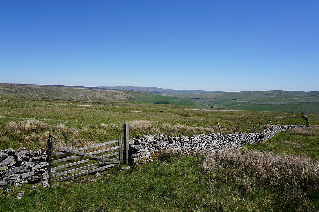
After parking at Street Gate I followed the track to Malham Tarn and was briefly on the Pennine Way, before taking the footpath on the right away from Malham Tarn and across fields towards Middle House Farm. The path joined a bridleway above Middle House Farm and this took me north onto Back Pasture Hill and past the ruins of Middle House to a fingerpost and the path signposted for Darnbrook. I followed this north across the limestone moorland of Out Pasture, down to and across Cowside Beck and to the hamlet of Darnbrook, where I then walked west along the road to pick up the Pennine Way to Tennant Gill Farm. I then followed the Pennine Way north up onto Fountains Fell to its high point on the northern shoulder of the fell where I stopped for lunch. Break had, I resumed my walk and left the Pennine Way and made my way south to the summit of Fountains Fell, and then on past Fountains Fell Tarn and south to the trig point on Knowe Fell. After taking in the view I continued following the wall south down the fellside until I picked up a bridleway which took me down to Henside Road. I then had a long walk east along the road back to Street Gate where I was parked.
Total ascent: 2005 ft
OS map used: OL2 - Yorkshire Dales, Southern & Western areas
Time taken: 7 hrs
Route description: Street Gate-Malham Tarn-Monk's Road-Middle House-Out Pasture-Darnbrook-Pennine Way-Tennant Gill Farm-Pennine Way-Fountains Fell-Knowe Fell-Henside Road-Street Gate
There's some good weather in the forecast for this Bank Holiday weekend and today has the best of it, certainly visibility wise. To make the most of this I picked a route that would take me up onto one of the higher fells in the Yorkshire Dales, I chose Fountains Fell, so that I would be able to appreciate being able to take in the great all-round views. Fountains Fell is one of the quieter tops in the Dales, which is a distinct advantage when it comes to it being a fine day during a Bank Holiday weekend. Certain other places nearby, I'm thinking of Penyghent, would probably have been very busy, and Malham was chock-a-block when I drove through it on the way up to Street Gate. To take in a bit of new territory in what is already a familiar part of the Dales I followed the footpath across the limestone moorland of Out Pasture to Darnbrook. It was worth it as I got to see quite a number of wildflowers in bloom. It was a great day to be out on the fells with more or less wall-to-wall blue skies and warm sunshine from start to finish.
After parking at Street Gate I followed the track to Malham Tarn and was briefly on the Pennine Way, before taking the footpath on the right away from Malham Tarn and across fields towards Middle House Farm. The path joined a bridleway above Middle House Farm and this took me north onto Back Pasture Hill and past the ruins of Middle House to a fingerpost and the path signposted for Darnbrook. I followed this north across the limestone moorland of Out Pasture, down to and across Cowside Beck and to the hamlet of Darnbrook, where I then walked west along the road to pick up the Pennine Way to Tennant Gill Farm. I then followed the Pennine Way north up onto Fountains Fell to its high point on the northern shoulder of the fell where I stopped for lunch. Break had, I resumed my walk and left the Pennine Way and made my way south to the summit of Fountains Fell, and then on past Fountains Fell Tarn and south to the trig point on Knowe Fell. After taking in the view I continued following the wall south down the fellside until I picked up a bridleway which took me down to Henside Road. I then had a long walk east along the road back to Street Gate where I was parked.
Route map
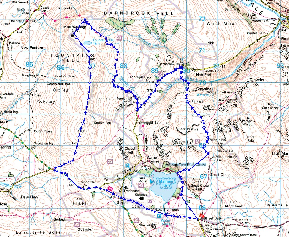
© Crown copyright. All rights reserved. License number PU 100034184.

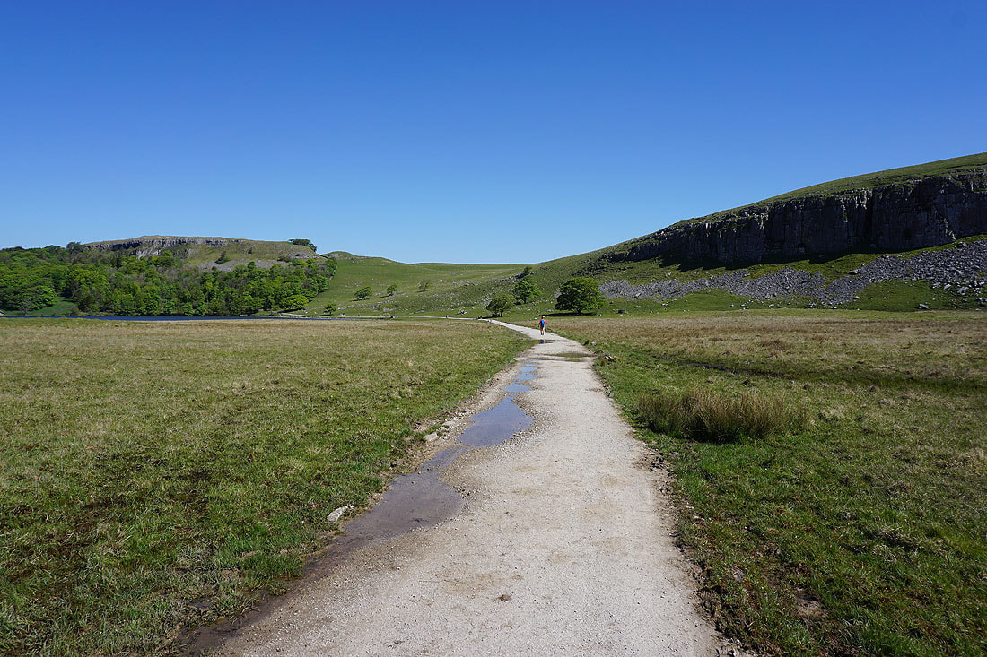
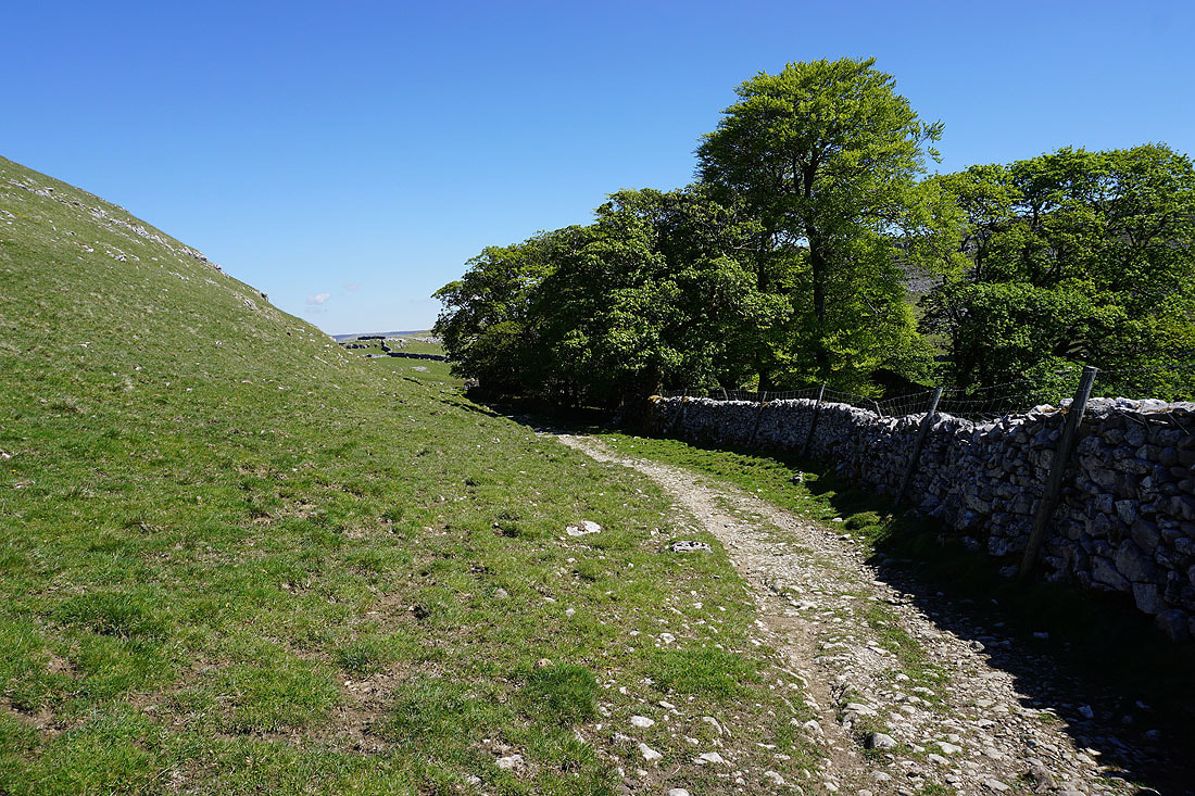
Following the track from Street Gate to Malham Tarn..
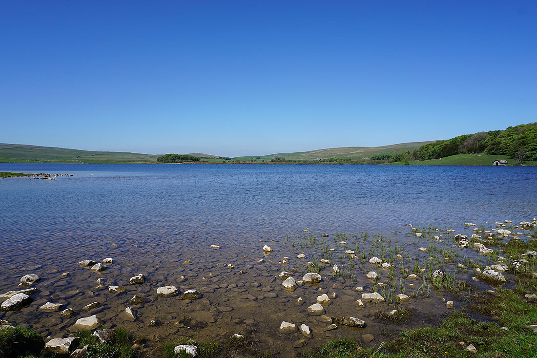
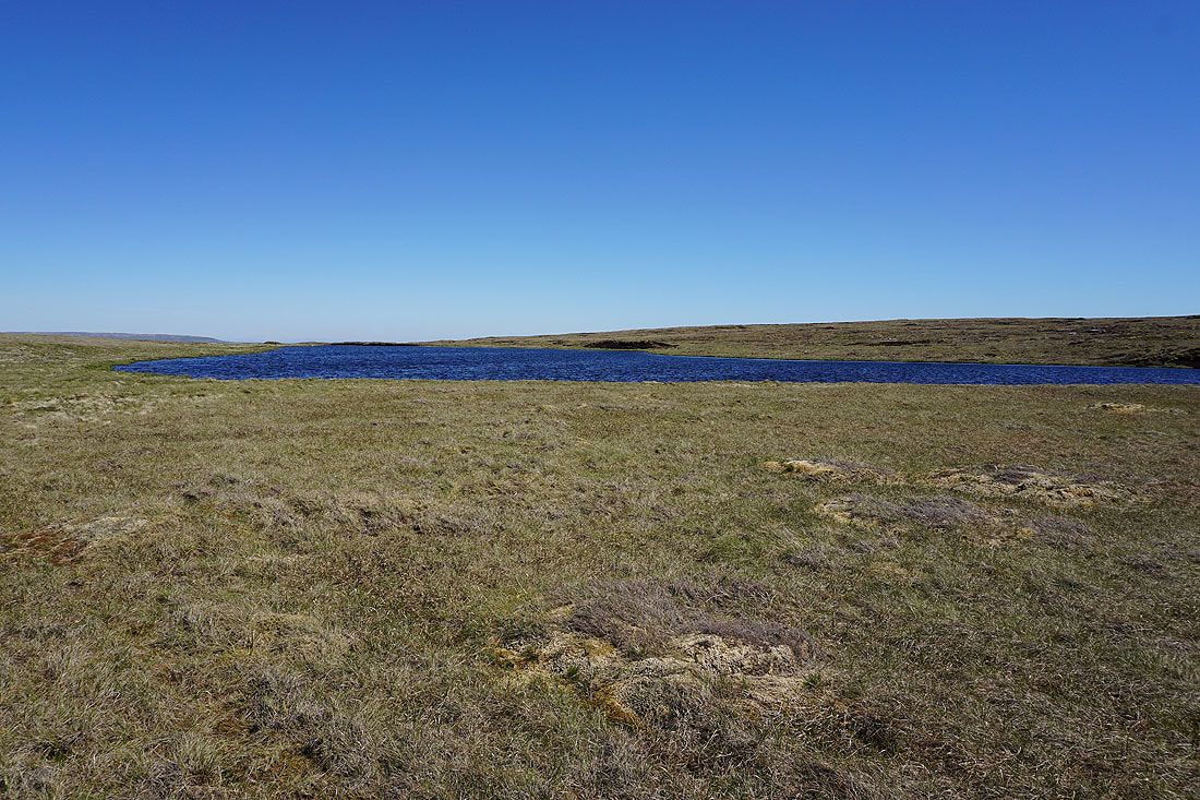
By the shores of Malham Tarn
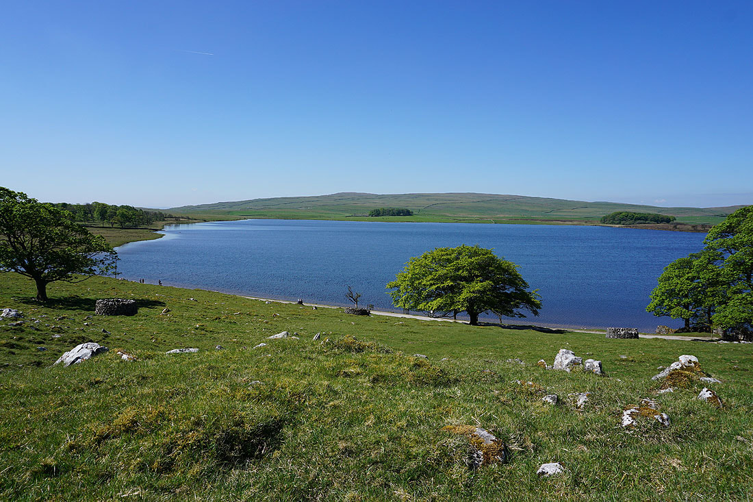
Leaving Malham Tarn..
..and taking the path to Middle House Farm
Great Close Hill from above Middle House Farm
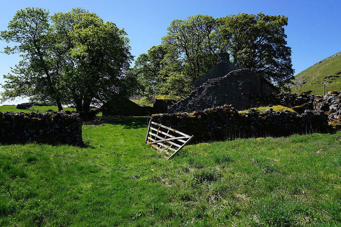
Passing the ruins of Middle House surrounded by its stand of trees..
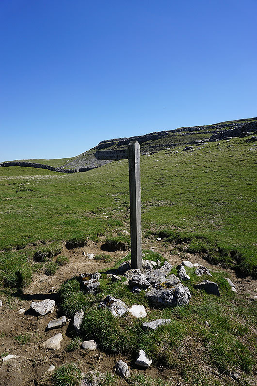
The fingerpost points the way as I leave the path to Arncliffe for the one to Darnbrook
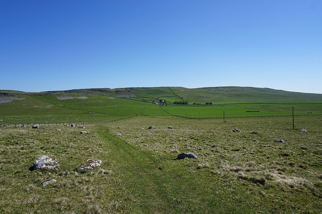
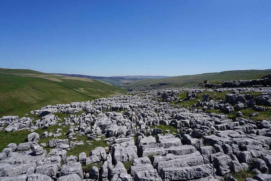
Fountains Fell and Darnbrook Fell ahead of me
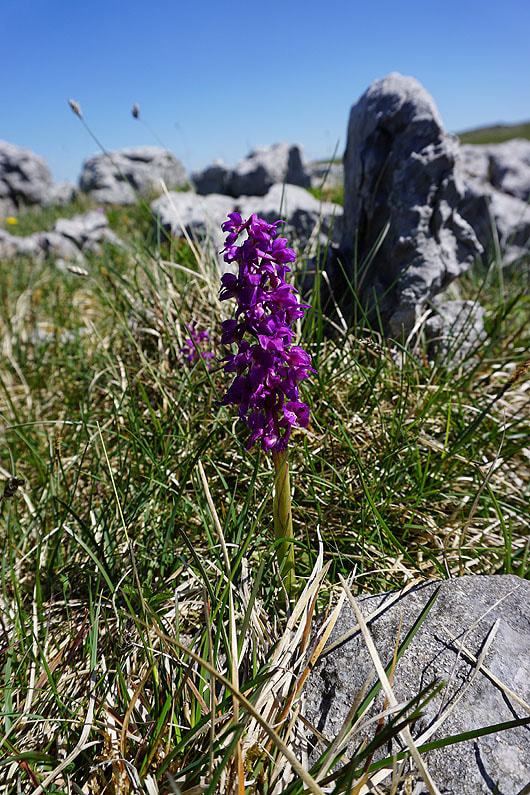
The limestone pavement I'm passing through provides a good habitat for wildflowers, including this early purple orchid
and surprisingly, wood anemone
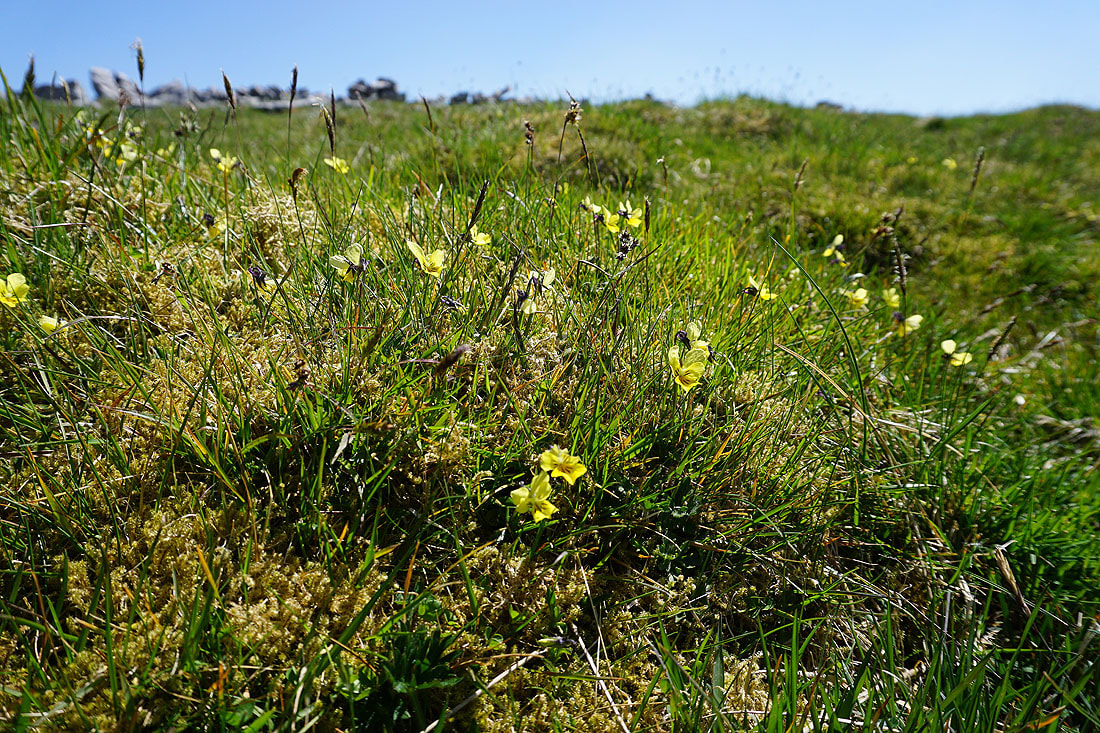
Mountain Pansy
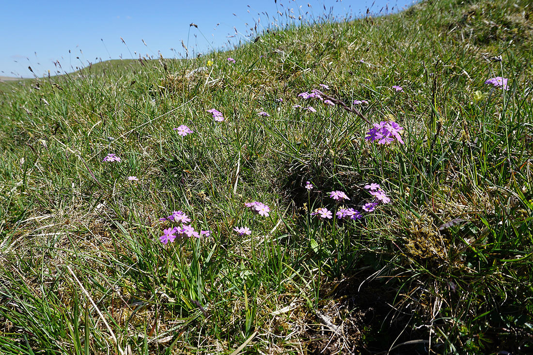
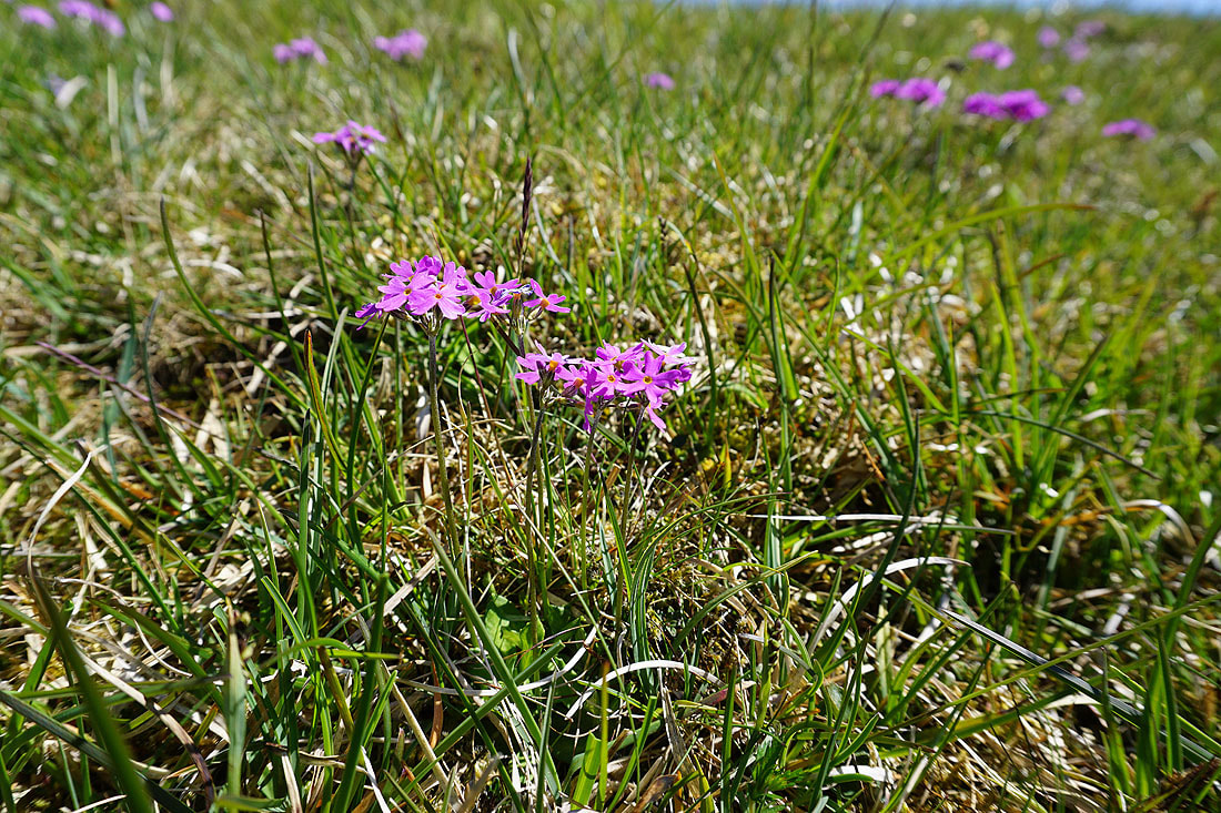
More wildflowers, this time Bird's Eye Primrose..
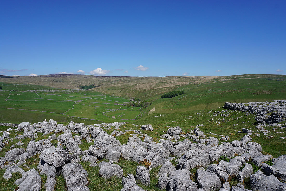
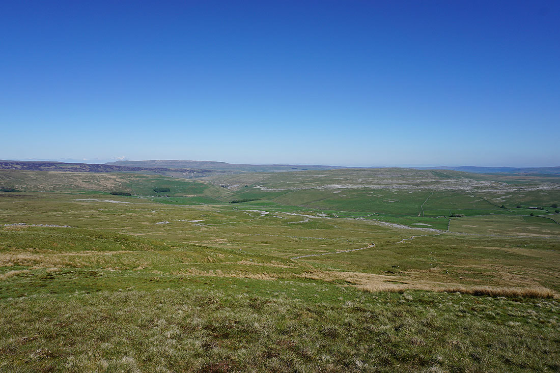
Darnbrook Fell with the hamlet of Darnbrook in the trees below
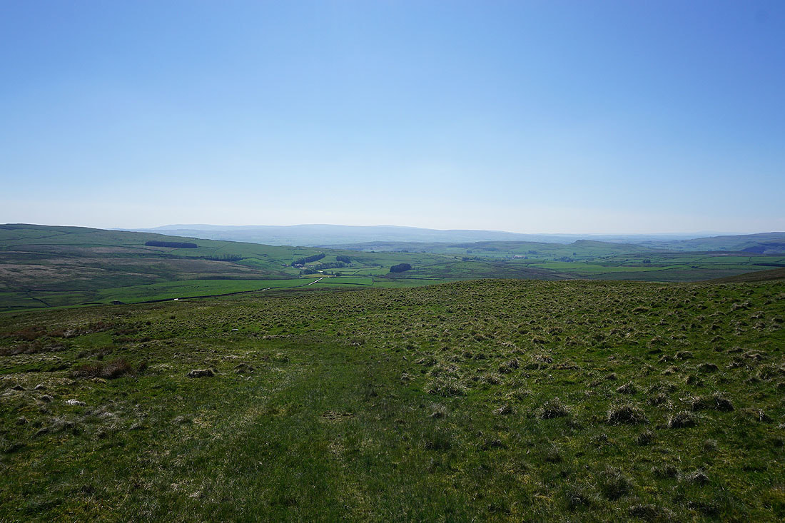
Looking down the valley of Cowside Beck to the fells around Littondale, with the top of Great Whernside in the distance
Heading down to cross the footbridge over Cowside Beck
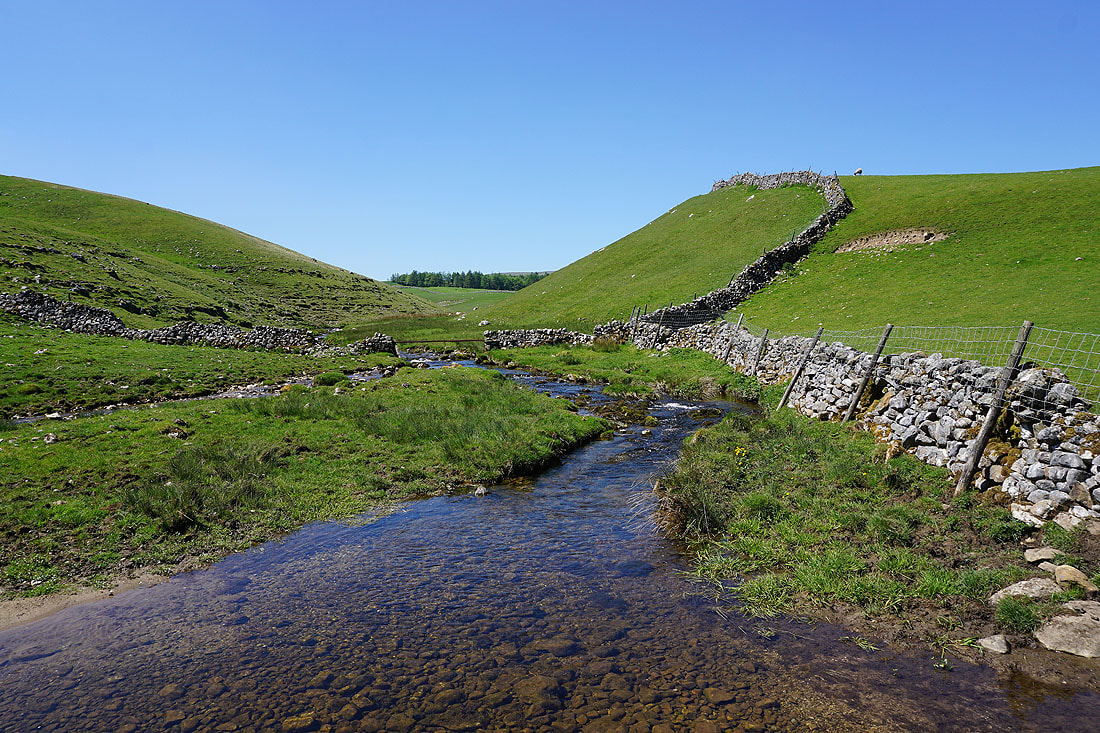
Crossing Cowside Beck
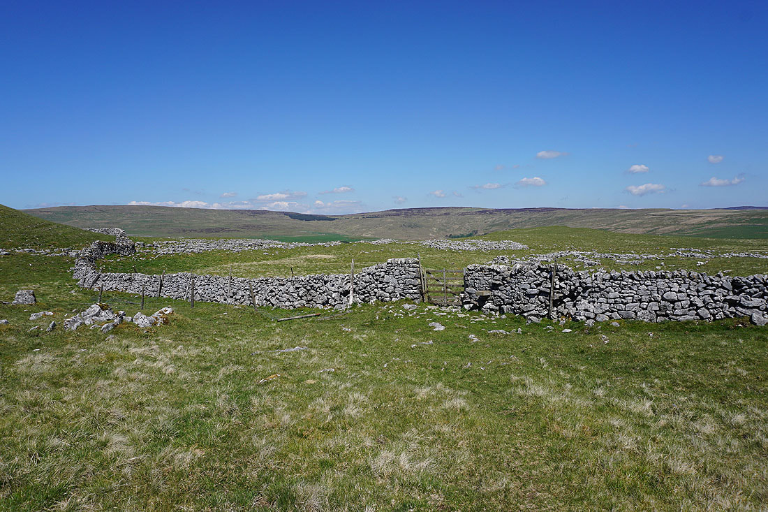
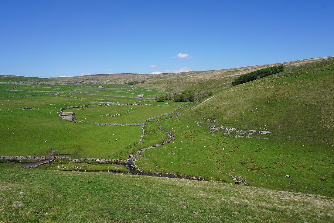
In the hamlet of Darnbrook
Looking back to Darnbrook..
..as I walk along the road to Tennant Gill Farm
Tennant Gill Farm as I take the Pennine Way up Fountains Fell
As I gain height the view opens up to include Great Whernside above the slopes of nearby Darnbrook Fell..
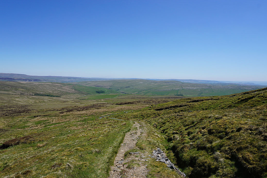
..and the countryside that I've walked through since I set off
Darnbrook Fell, with Buckden Pike, Little Whernside and Great Whernside in the distance
At the northern end of the top of Fountains Fell, and this is a convenient place to stop for lunch
Ingleborough, Penyghent and Whernside from the top of the Pennine Way
Looking towards the fells around the top of Littondale
Darnbrook Fell, Birks Fell, Buckden Pike, Little Whernside and Great Whernside
Ingleborough, Penyghent and Whernside
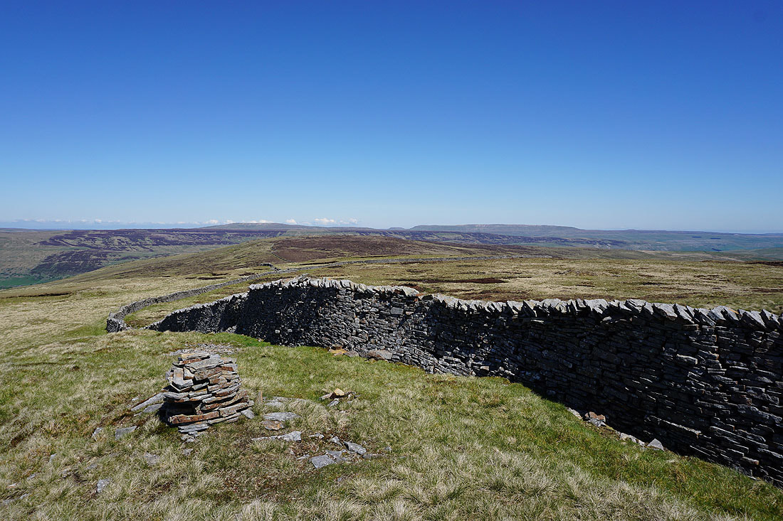
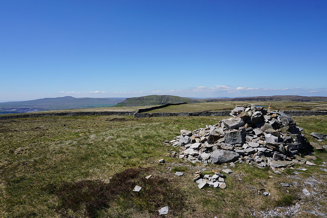
At the summit cairn of Fountains Fell with the Forest of Bowland in the distance..
..and Pendle Hill
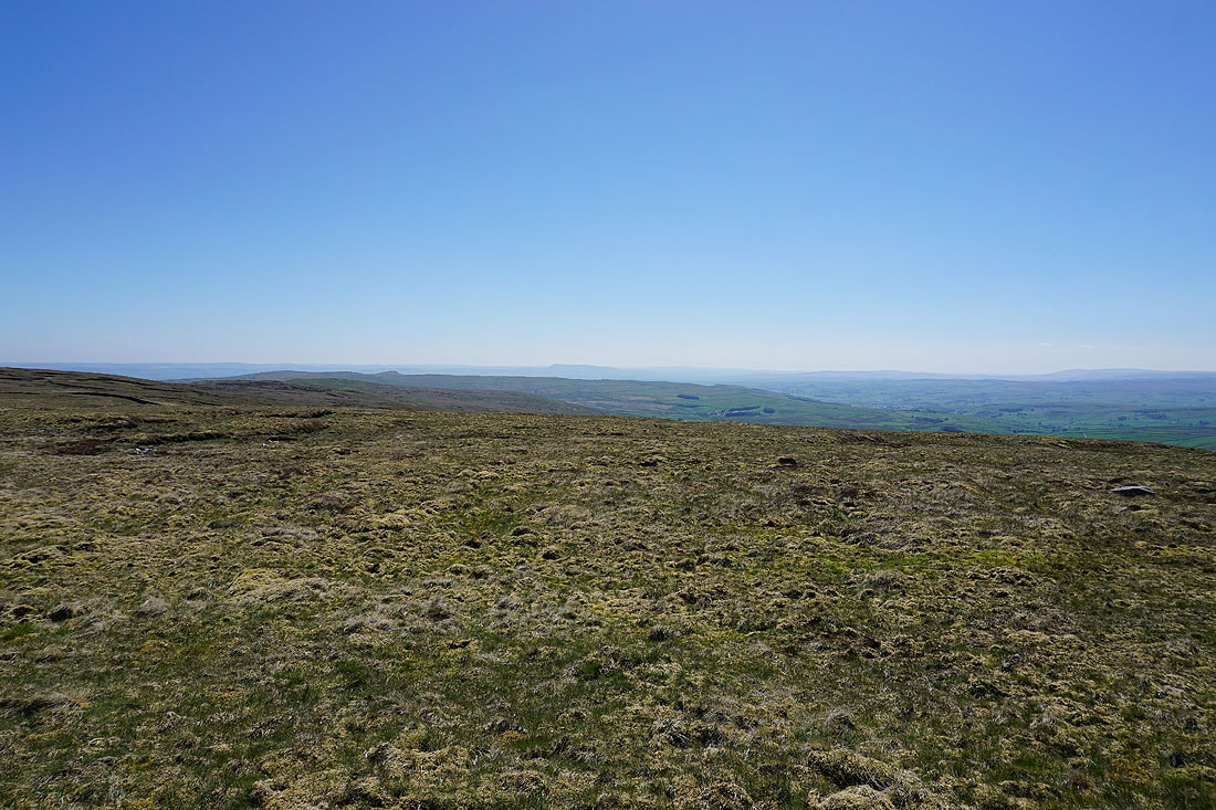
Ingleborough, Penyghent and Plover Hill
Looking northeast to Birks Fell, Buckden Pike, Little Whernside and Great Whernside
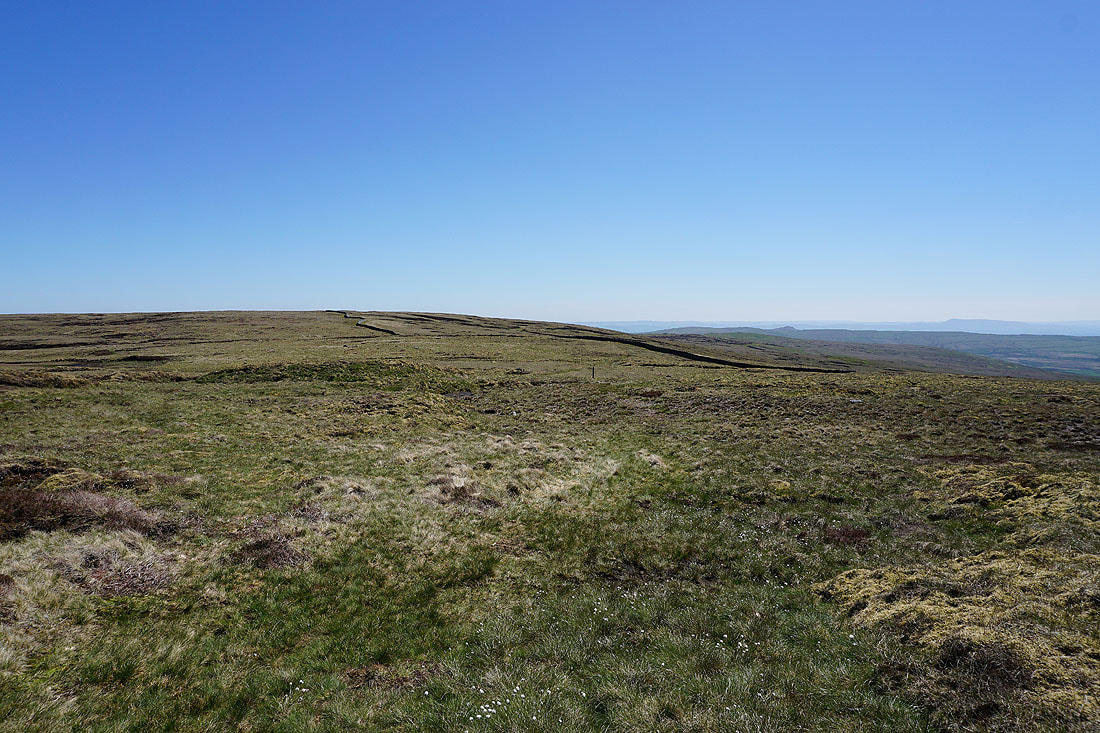
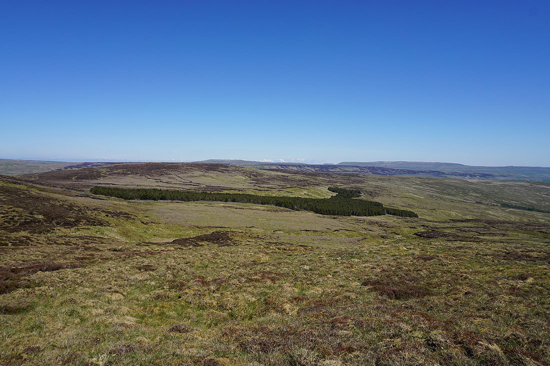
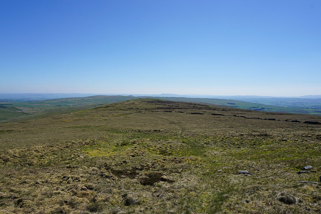
Heading south across the broad moorland of Fountains Fell
Passing Fountains Fell Tarn..
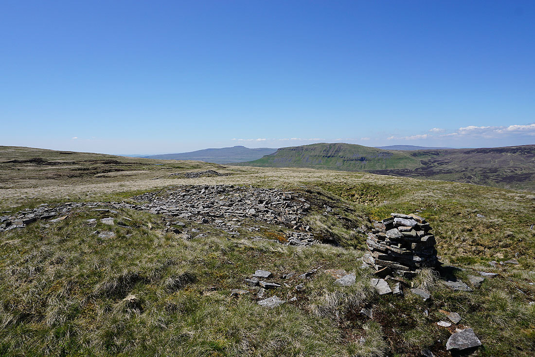
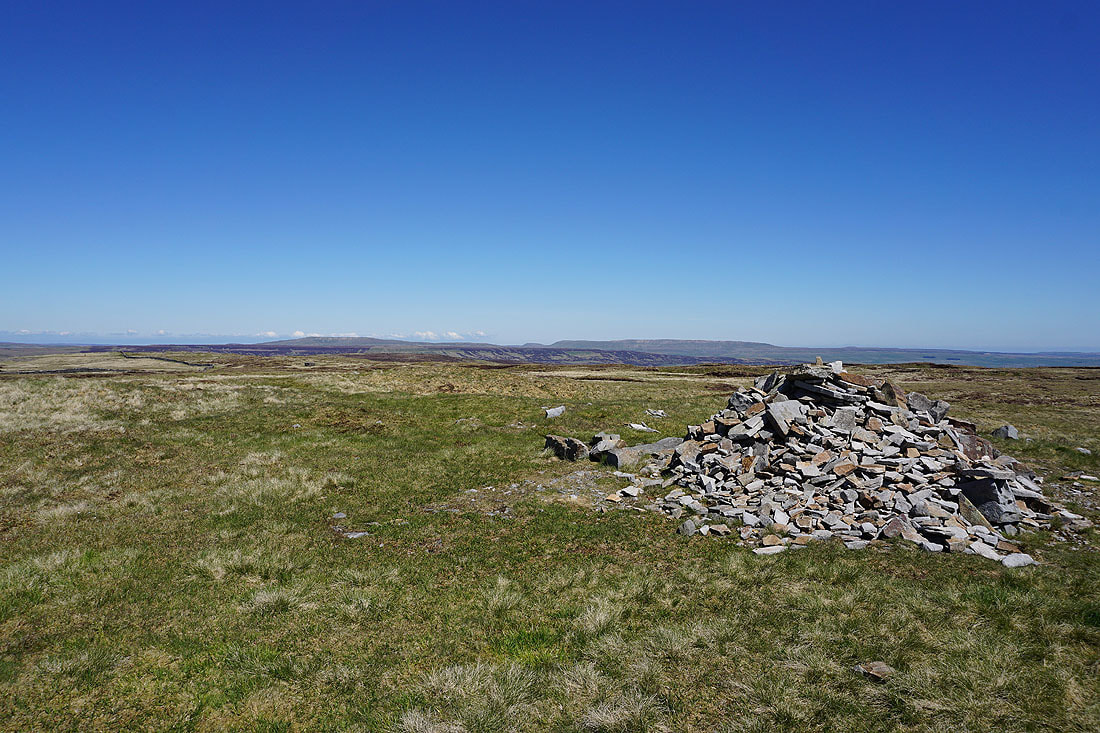
Ingleborough and Penyghent from the south top of Fountains Fell
Malham Tarn appears as start the walk south to Knowe Fell
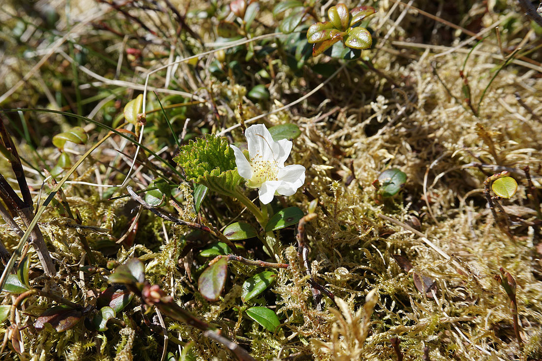
A cloudberry in flower
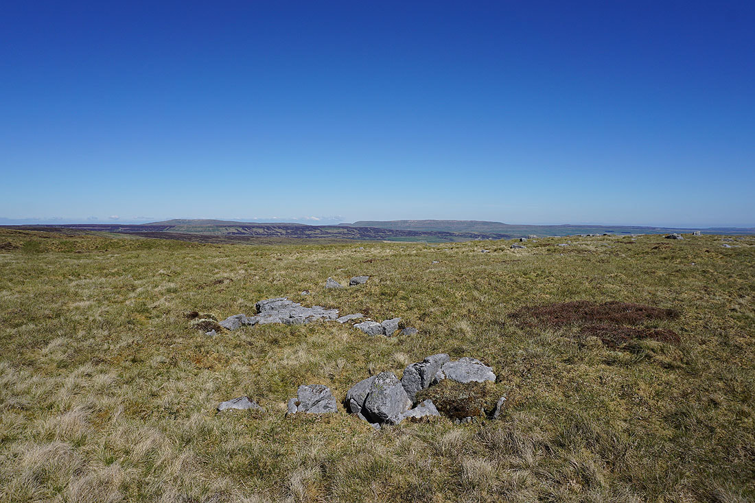
A rash of gritstone boulders provides a foreground for a couple of photos. Buckden Pike, Birks Fell and Great Whernside in the distance.
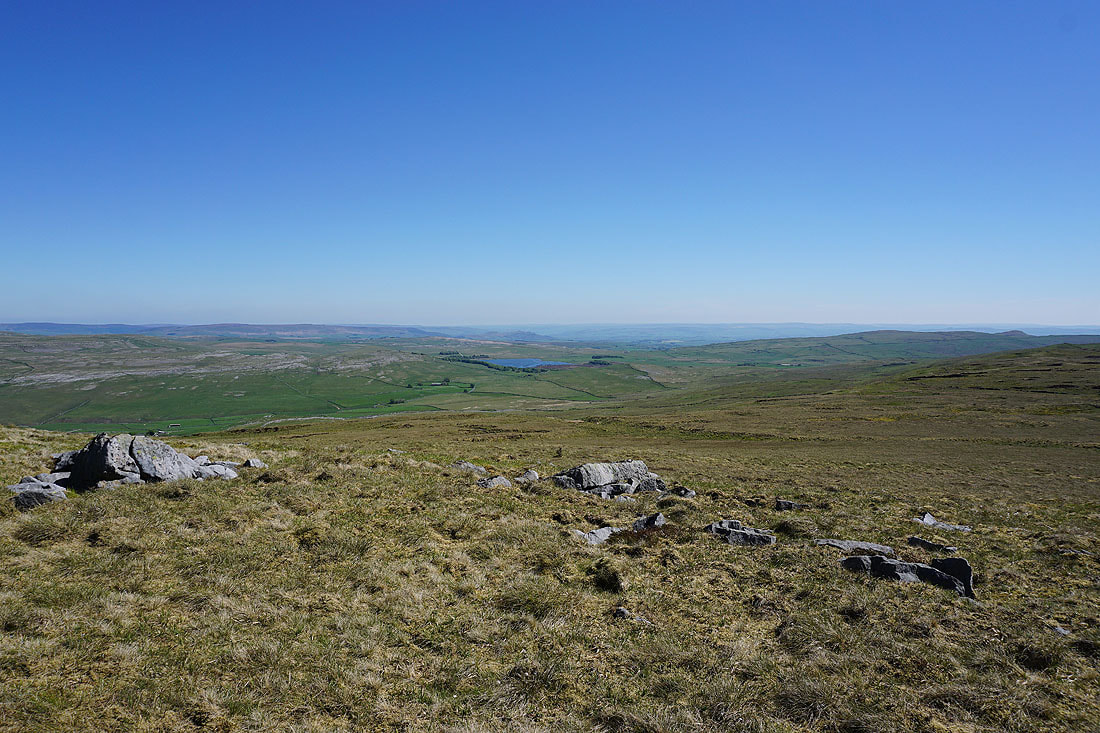
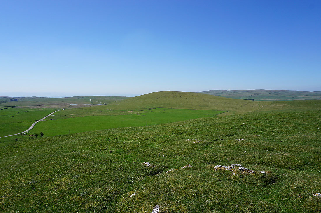
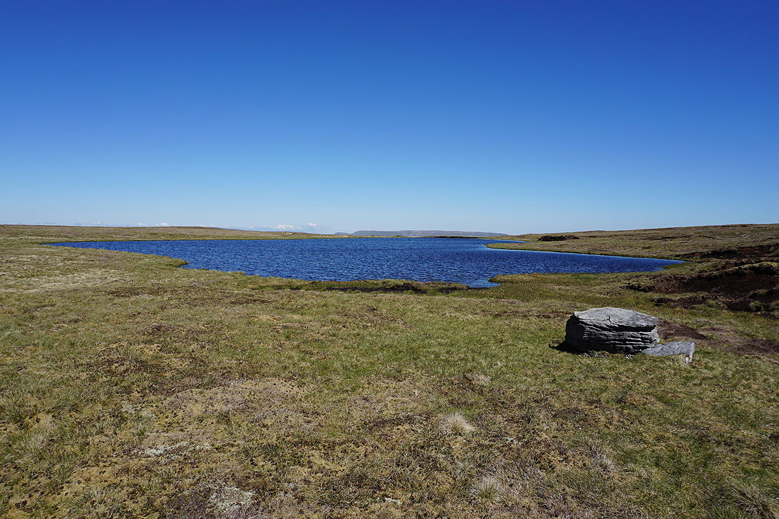
Malham Tarn and its surrounding moorland
Heading south to Knowe Fell with Pendle Hill in the distance beyond Rye Loaf Hill
To my left is the limestone moorland around Darnbrook with Great Whernside in the distance
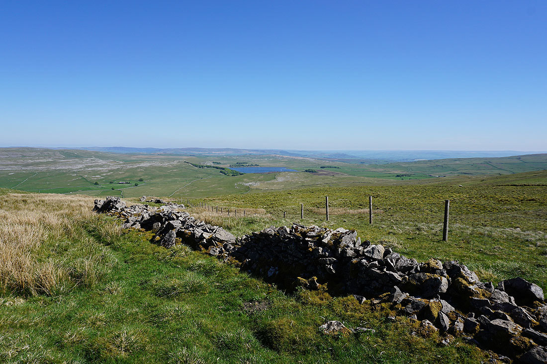
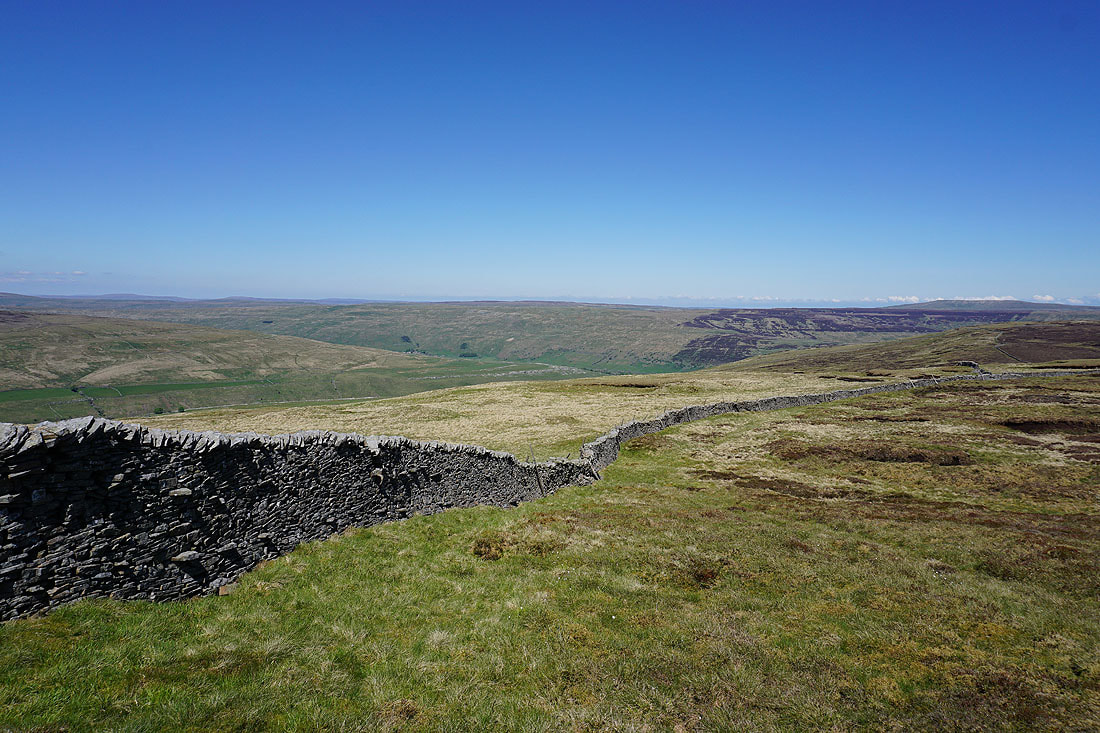
A crumbling wall provides a foreground for a great view of Malham Tarn
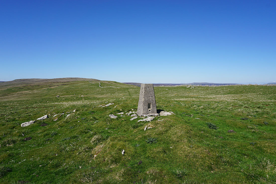
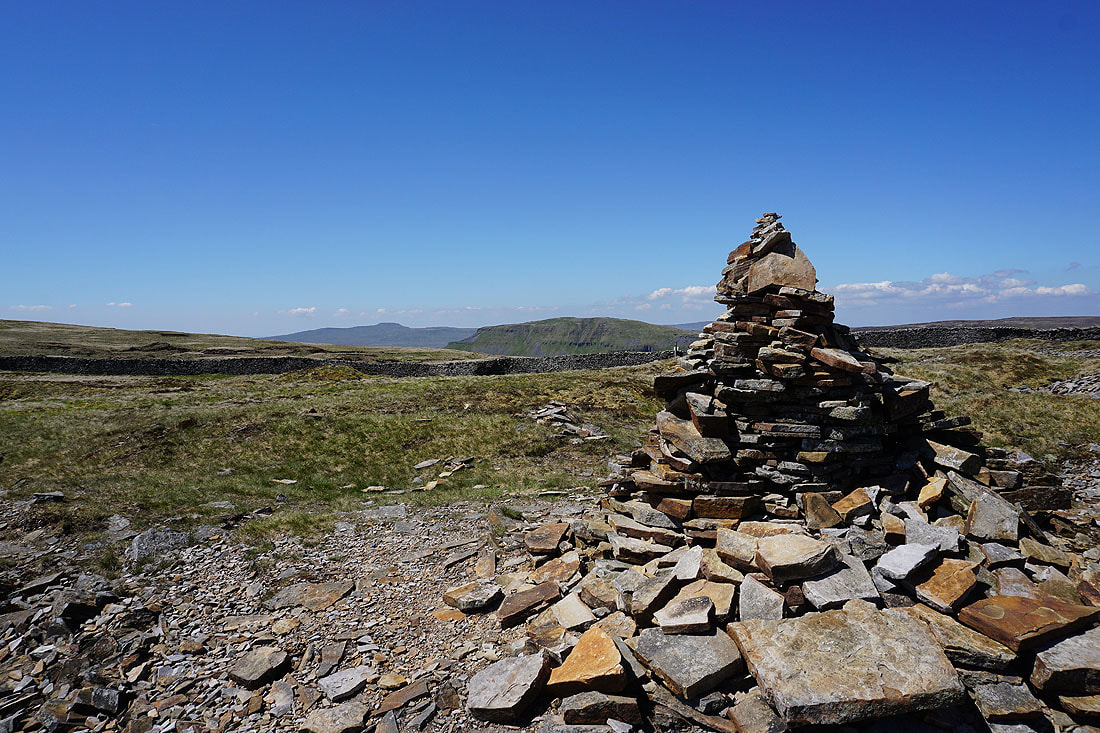
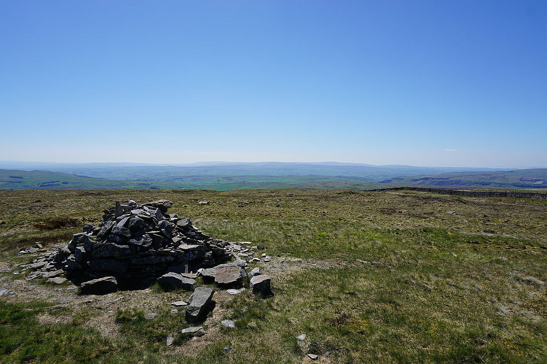
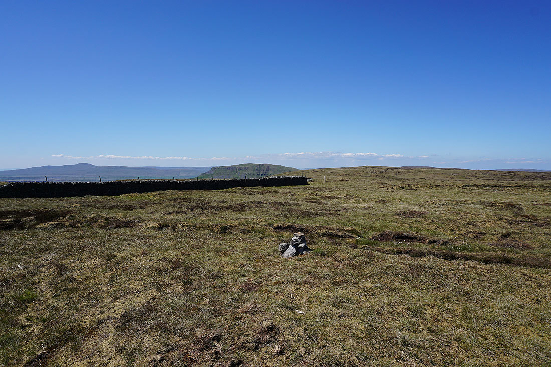
At the trig point on Knowe Fell. Looking north to Fountains Fell.
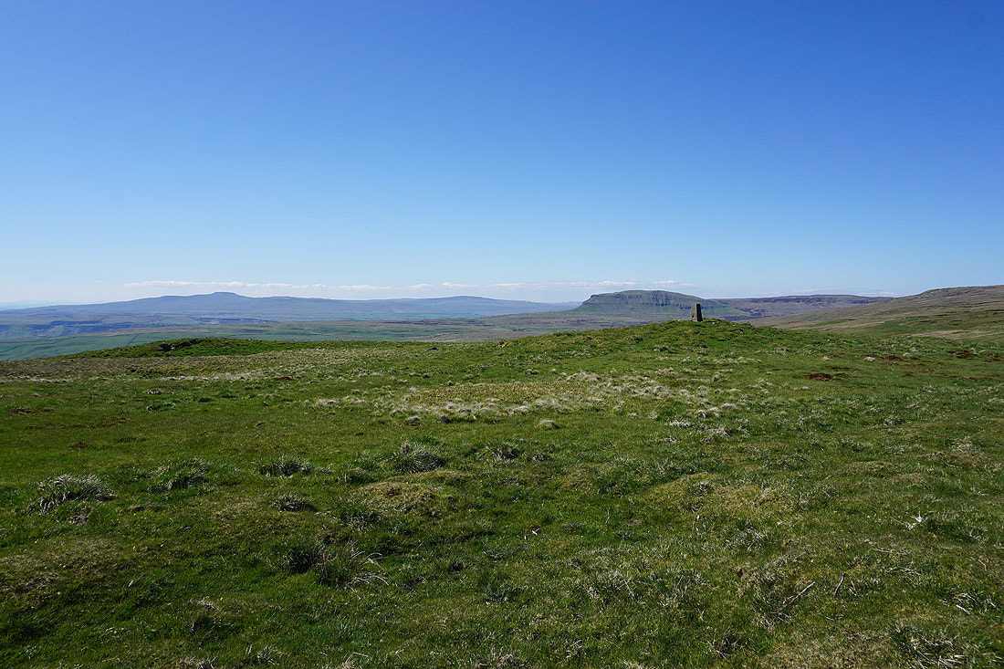
Ingleborough, Whernside, Penyghent and Plover Hill
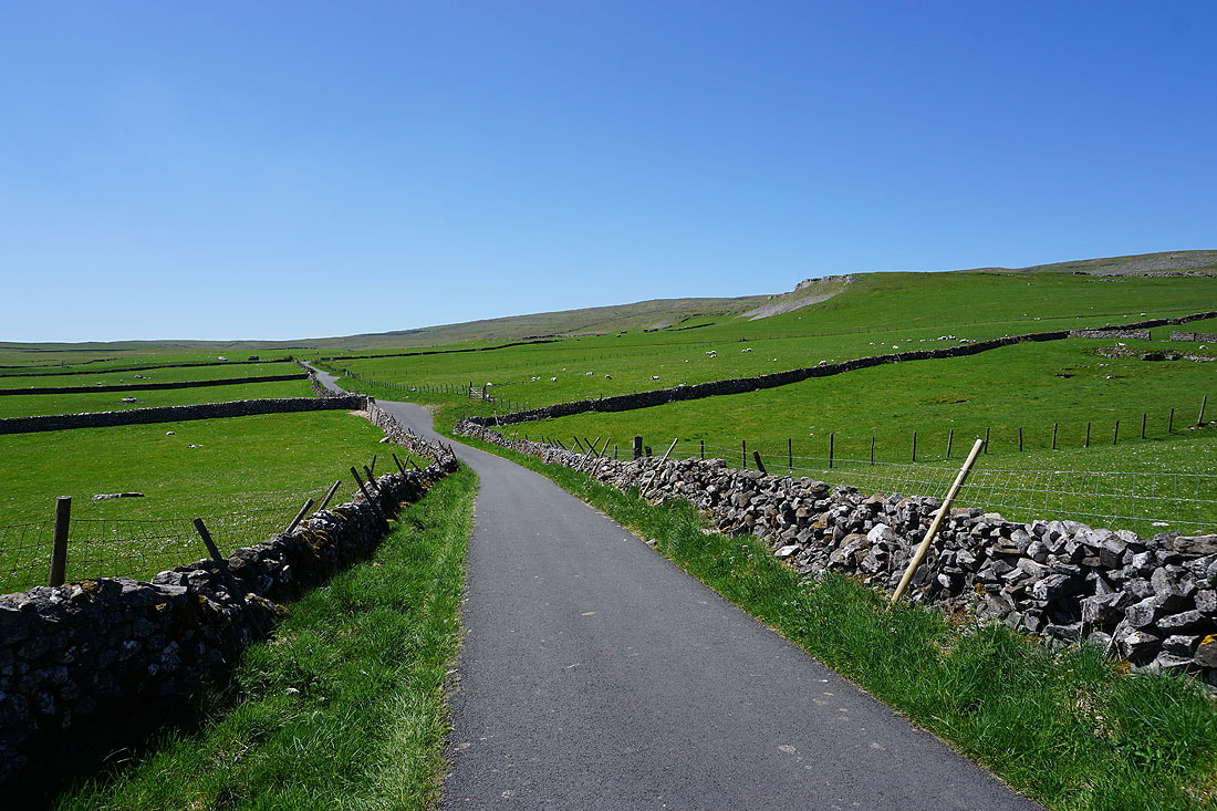
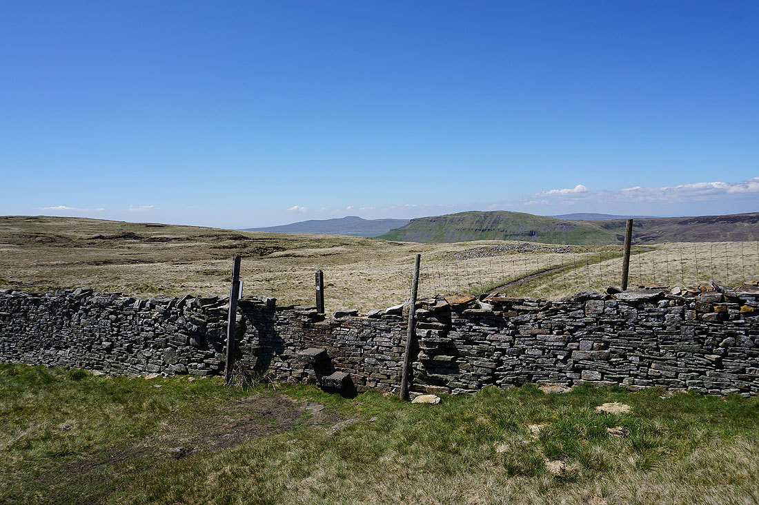
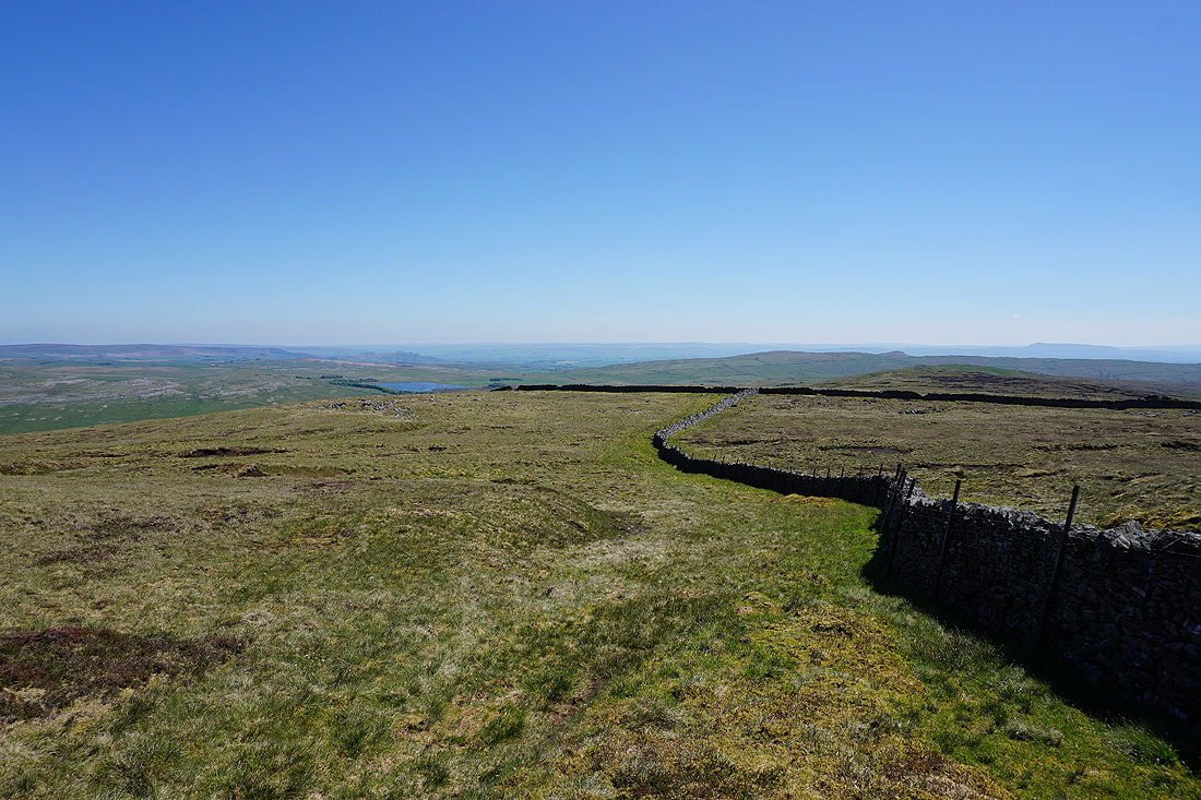
On the bridleway from Knowe Fell down to the Langcliffe to Malham road
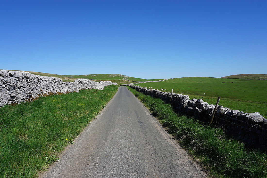
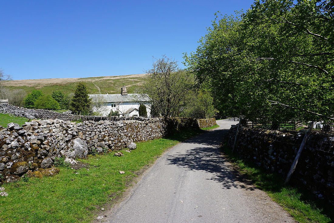
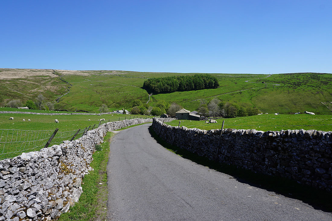
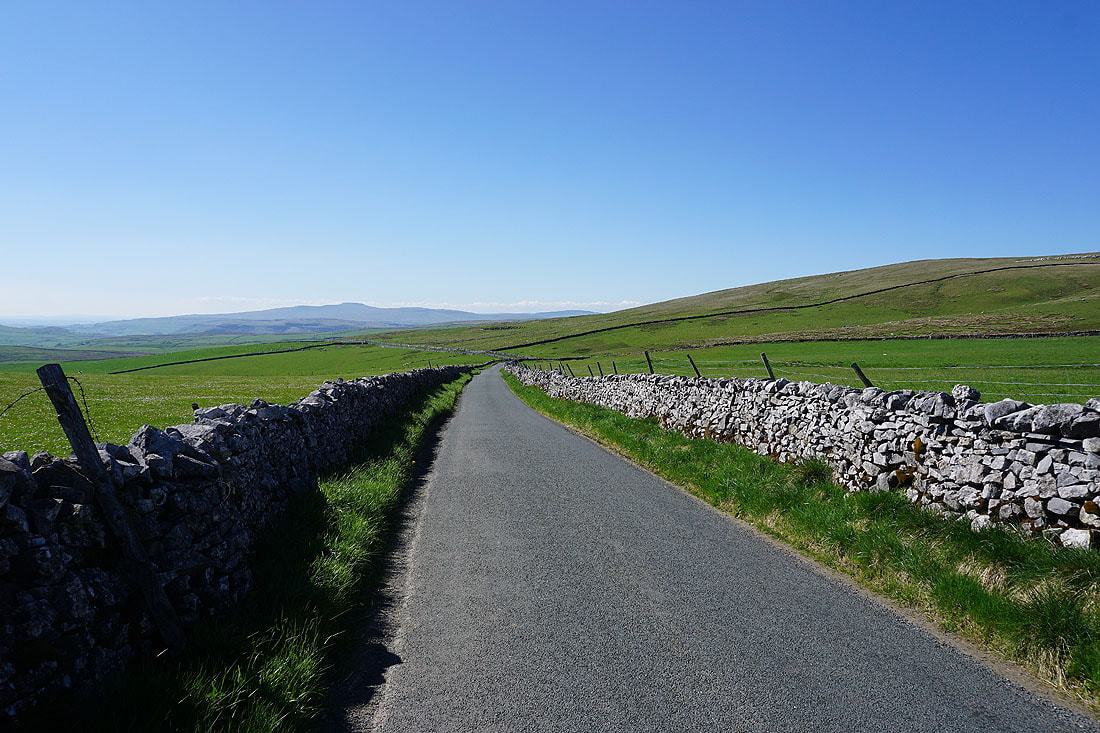
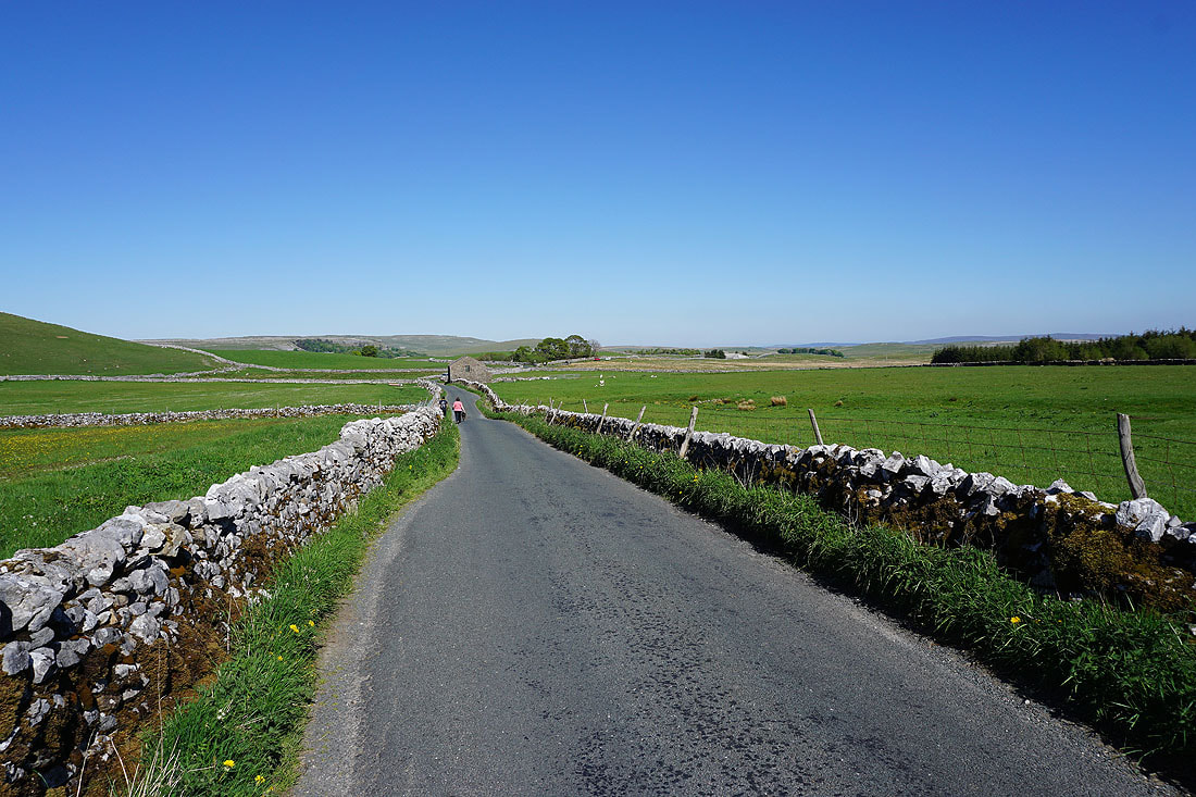
A walk along the Langcliffe to Malham road back to Street Gate. It is relatively quiet though, and it's a lovely end to the afternoon.
A last look back to Ingleborough and Ribblesdale
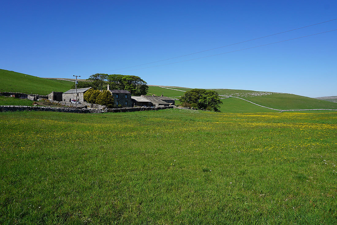
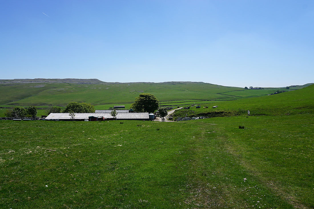
Capon Hall
A beautiful end to the afternoon in limestone country
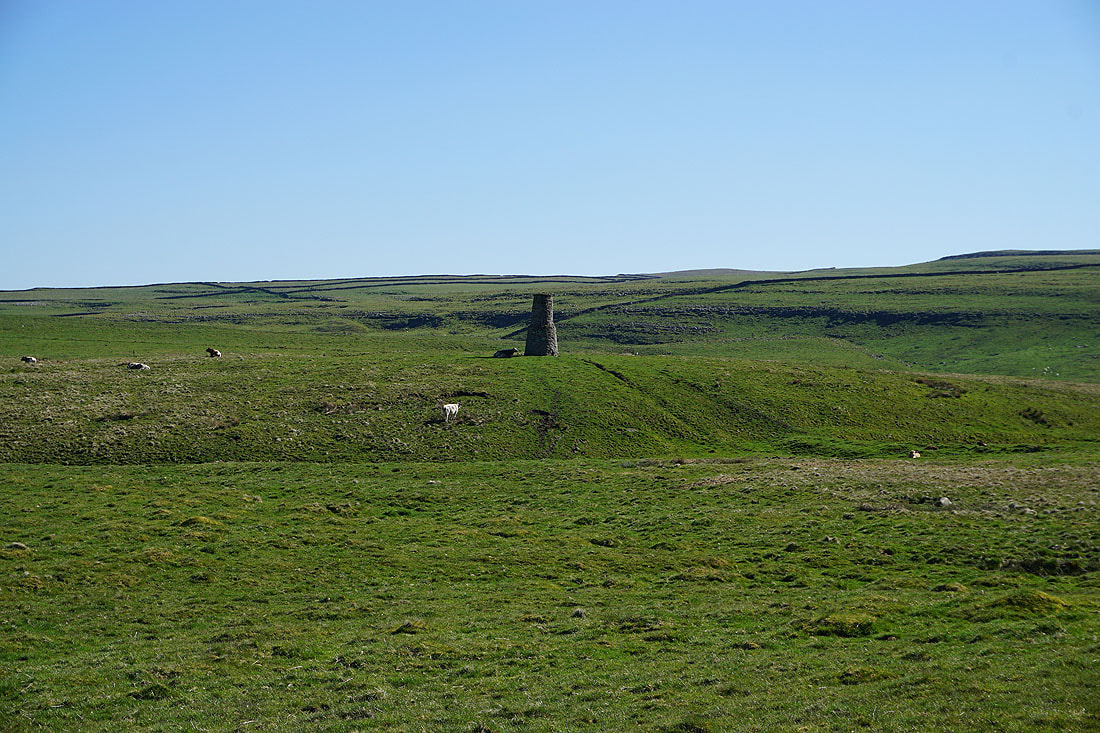
A chimney stands alone on the nearby moor
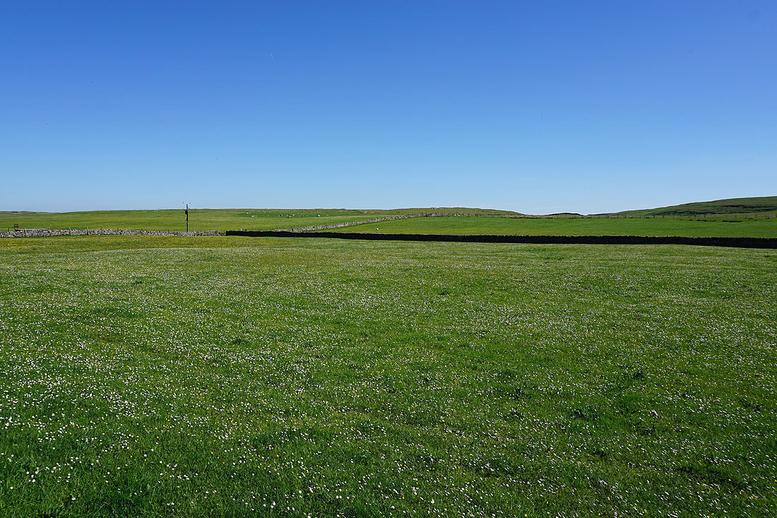
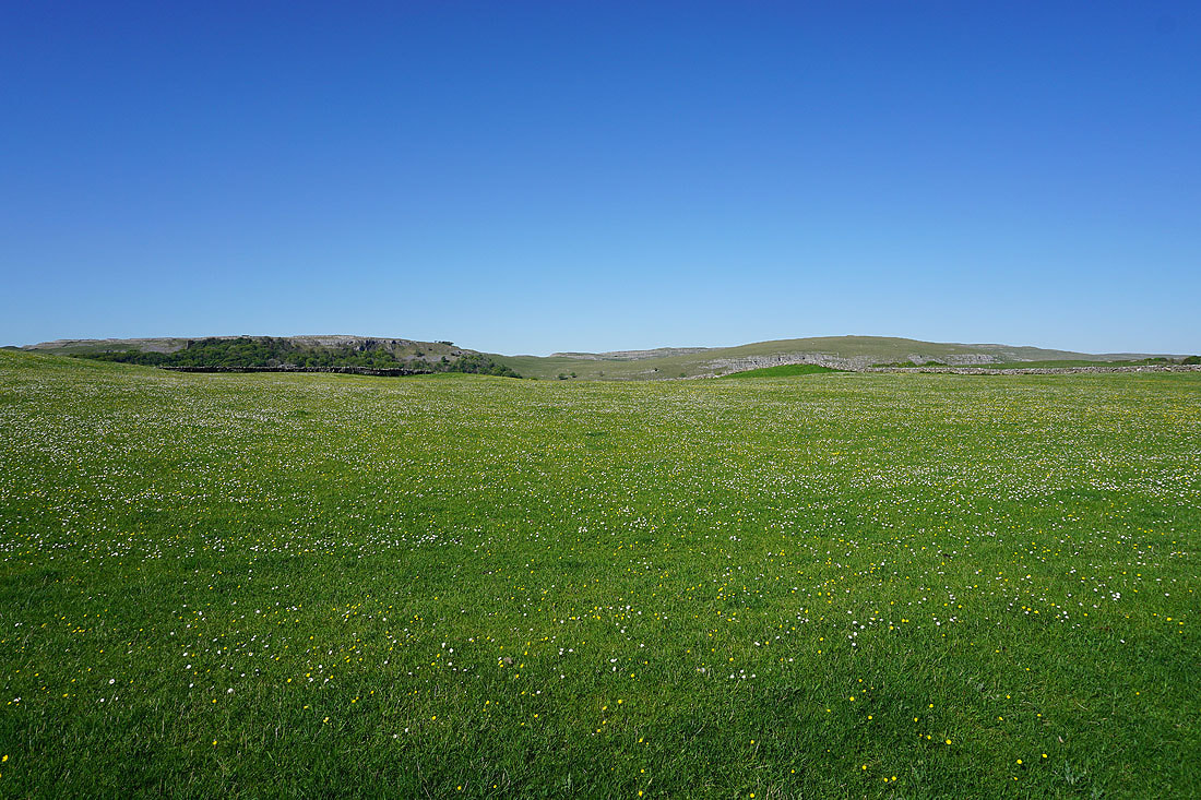
Buttercup and daisy filled fields..
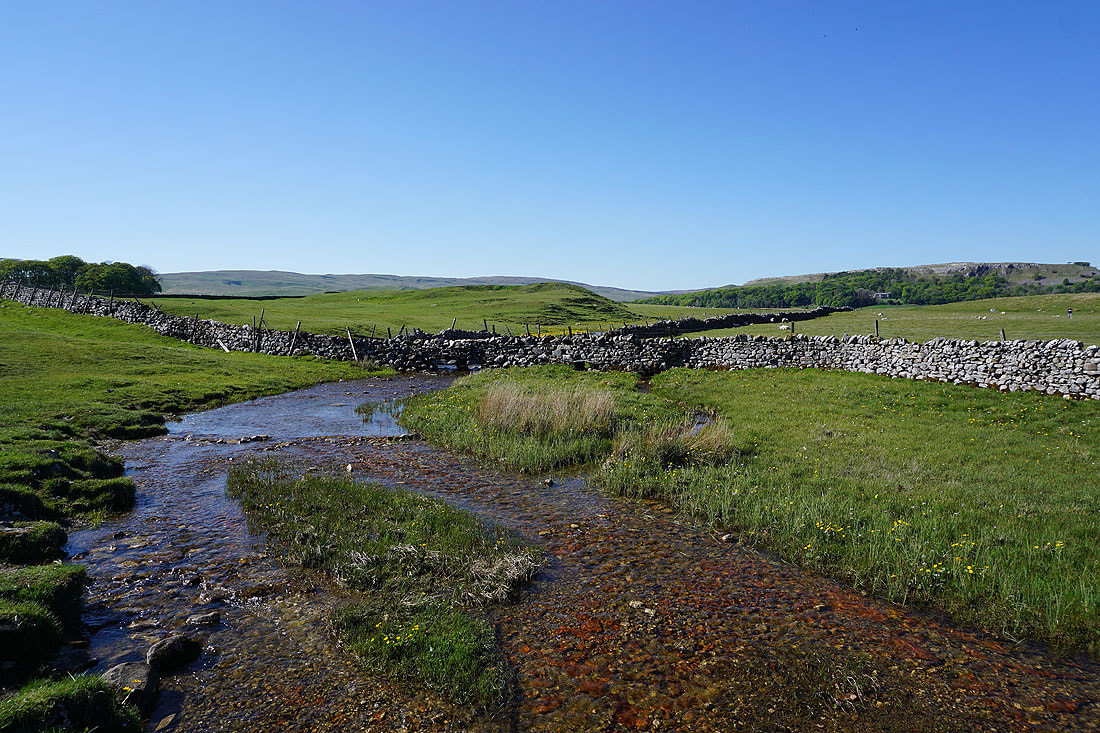
Crossing Malham Tarn Beck
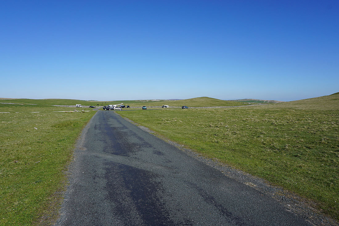
My walk comes to an end as I arrive back at Street Gate