30th November 2019 - Pendle Hill
Walk Details
Distance walked: 9.8 miles
Total ascent: 1690 ft
OS map used: OL21 - South Pennines
Time taken: 4.5 hrs
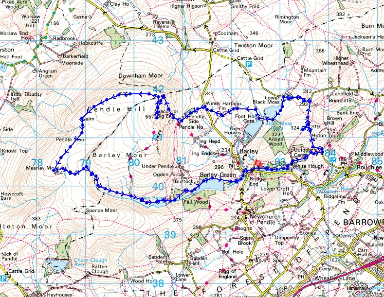
Route description: Barley-Pendle Way-Stang Top Road-Stang Top Moor-Stang Top Road-Black Moss Road-Upper Black Moss Reservoir-Foot House Gate-Higher Laithe-Windy Harbour Farm-Barley Lane-Pendle Side Farm-Pendle Hill-Downham Moor-Worston Moor-Mearley Moor-Ogden Clough-Upper Ogden Reservoir-Lower Ogden Reservoir-Barley
There's a fine weekend forecast so I'm going to make the most of it and do a walk on both days. Today I'm staying local with Pendle Hill from Barley, though the route that I did wasn't exactly what I'd planned. I arrived in Barley with Pendle Hill shrouded in low cloud (not forecast), so I had some breakfast at The Cabin in Barley to give it time to clear. Breakfast had and it didn't look like there was much in the way of improvement, so I decided to do a relatively low level walk around the moors to the east of Barley, making it up as I went along. Not long after setting off I noticed that the cloud was lifting from Pendle Hill so I changed my route and starting walking back towards it. During the next hour it teased me as the cloud continued to lift but not quite clear, and then as I was climbing the path up the cloud enveloped it for good. So disappointing! Since I was up there anyway I continued on what had been my original route of crossing Downham, Worston and Mearley Moors before heading down Ogden Clough back to Barley. It wasn't very pleasant up on Pendle Hill with a strong cold wind and no view.
From the car park in Barley I set off by following the Pendle Way east to White Hough, up past the outdoor centre and to Stang Top Road. I then walked up Stang Top Road past Offa Hill Cottage (a detour to the trig point on Stang Top Moor was taken), and then down to the junction with Black Moss Road. I turned left and walked down Black Moss Road to Black Moss Farm where I took the track to Upper Black Moss Reservoir. Once past Upper Black Moss Reservoir I followed the track down to Foot House Gate and then up to Salt Pie, where I took a footpath on the left up to Higher Laithe and Windy Harbour Farm, and from there a footpath up across a field to Barley Lane. I then took the track on the other side of Barley Lane past Pendle Side Farm towards Pendle House Farm where I picked up the Pendle Way to the trig point on the summit of Pendle Hill. From the trig point I made my way north to, and across the summit wall, then followed the path west across Downham Moor and Worston Moor to the Scout Cairn, then south to the cairn on the end of Mearley Moor. I then crossed the top of Howcroft Brook and made my way down into Ogden Clough and onto the path down the clough to Upper Ogden Reservoir, where I picked up the track down past Lower Ogden Reservoir and back to Barley.
Route map
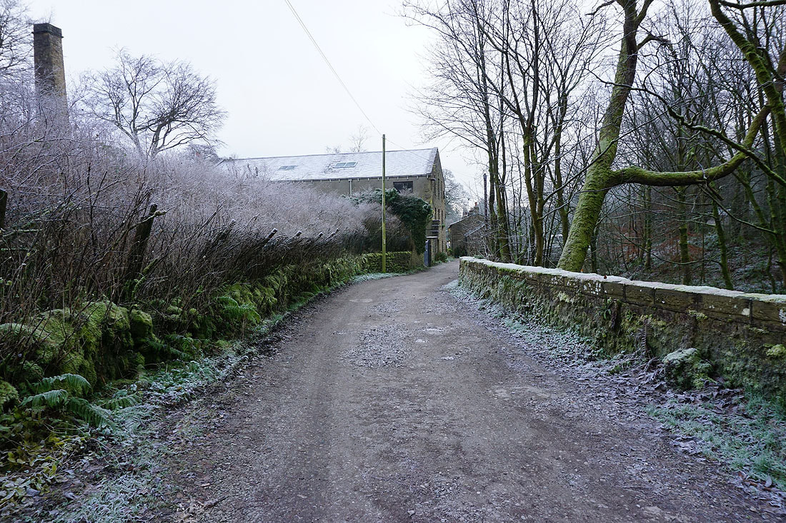
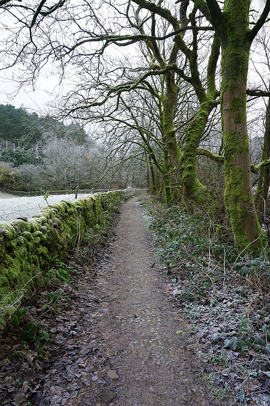
It's a cold and frosty morning as I follow the Pendle Way out of Barley..
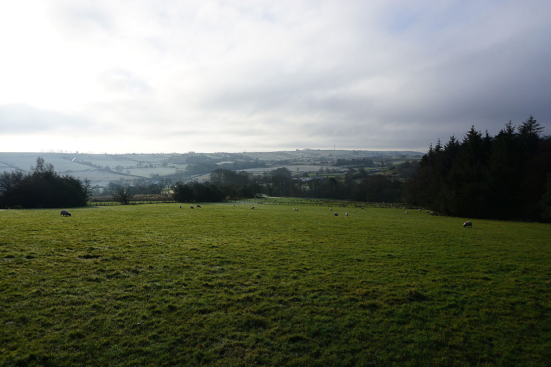
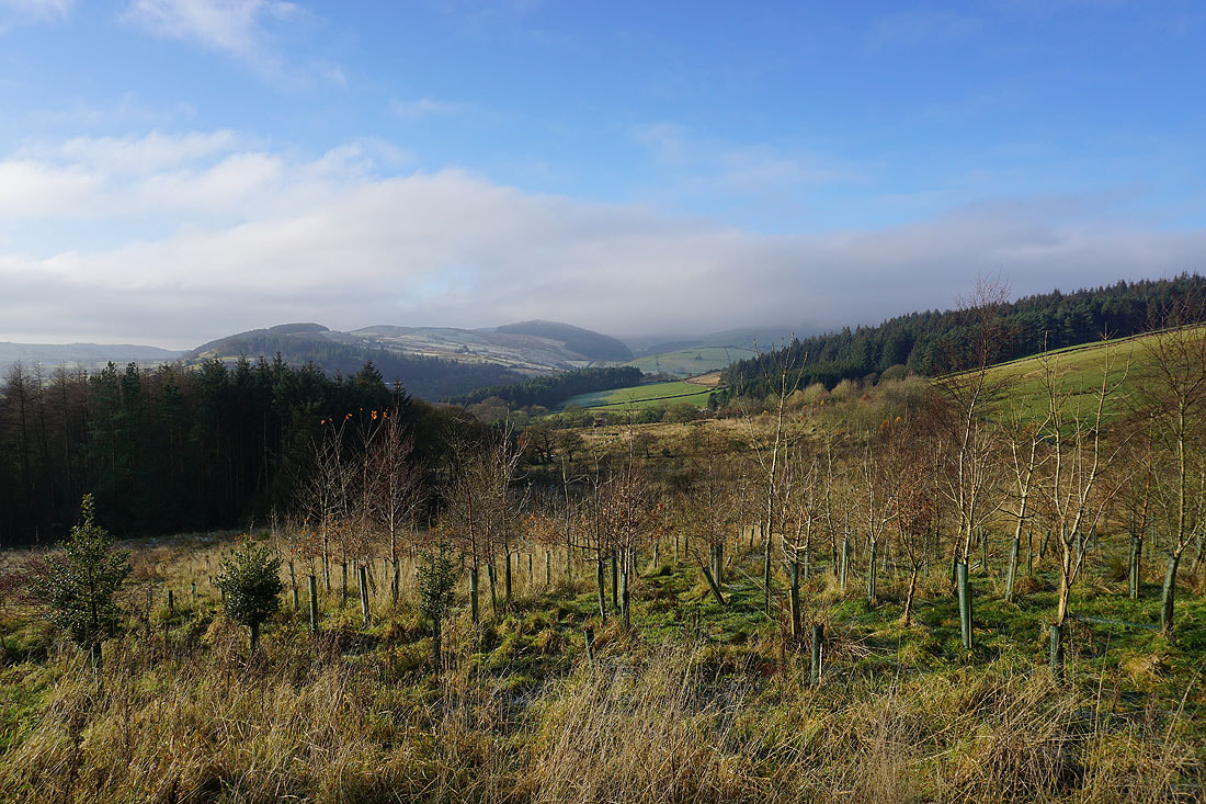
Looking across the valley of Pendle Water to Spen Height
Saddlers Height and Ogden Clough
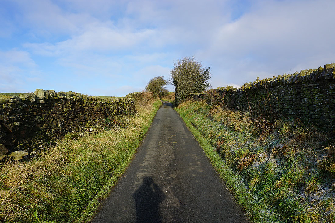
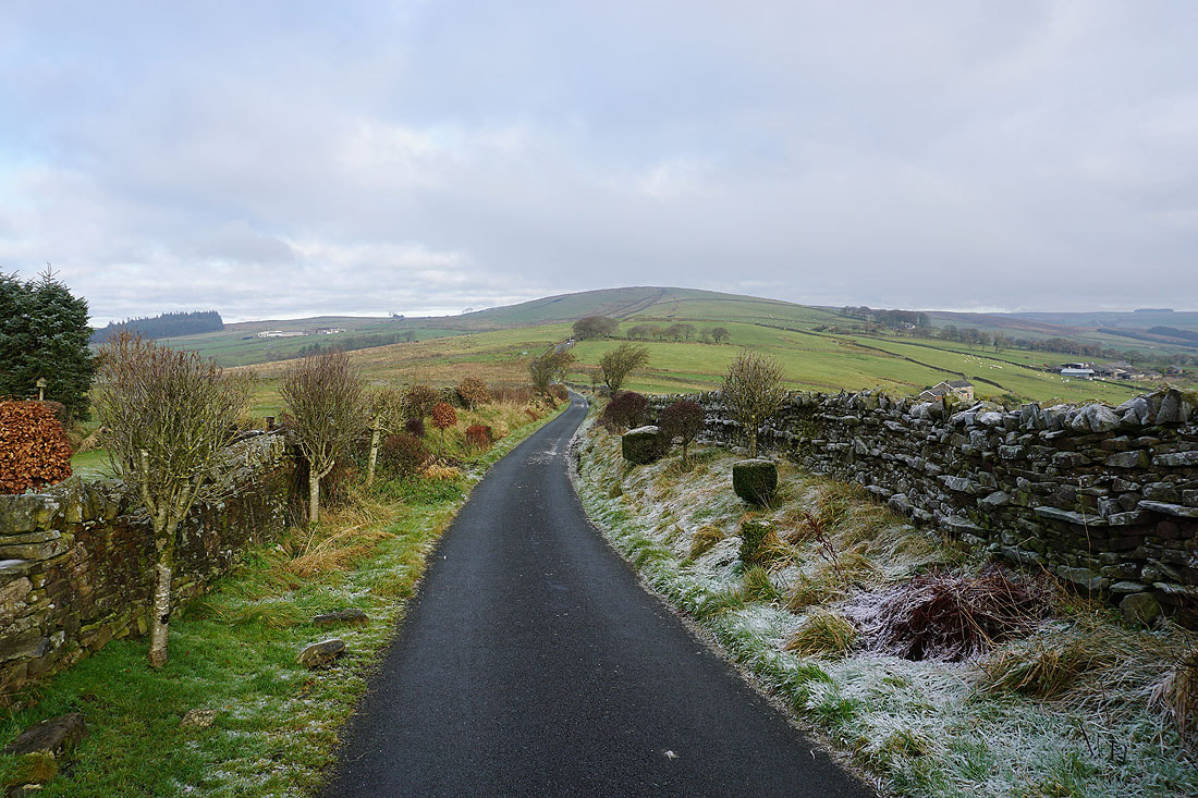
Heading up Stang Top Road
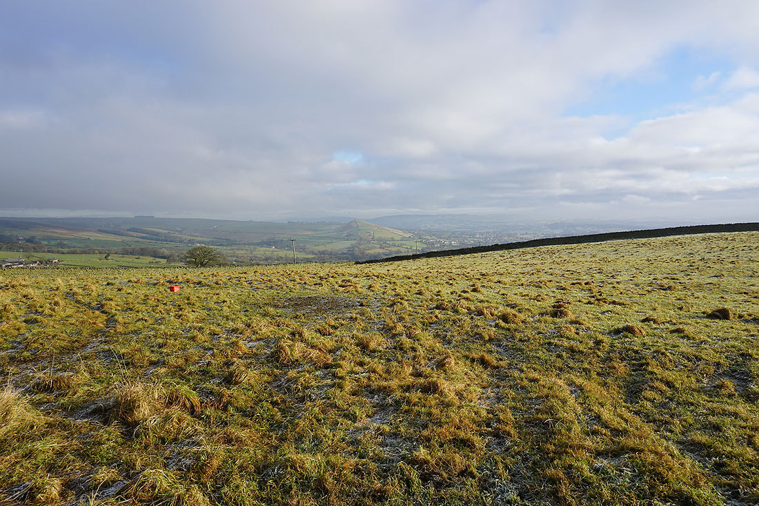
Over the wall to my right; White Moor, Blacko Hill and Blacko
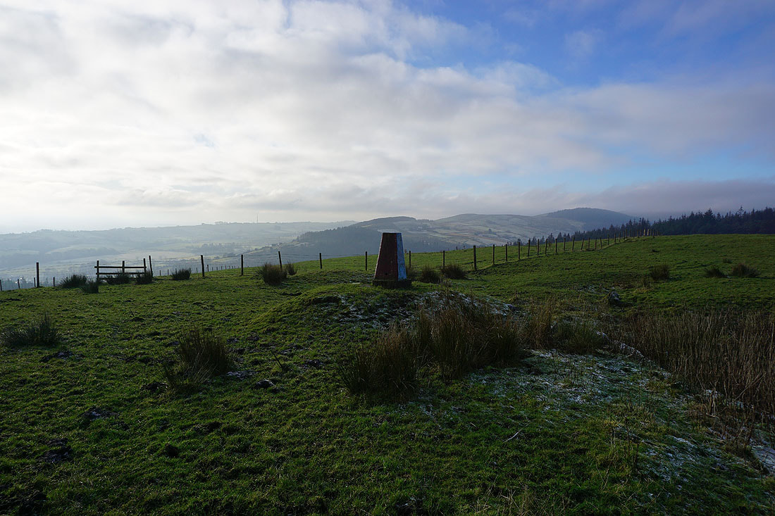
A short diversion to the trig point on Stang Top Moor
Wheathead Height ahead as I continue north along Stang Top Road
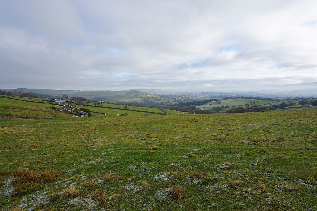
Blacko Hill and Blacko in the distance
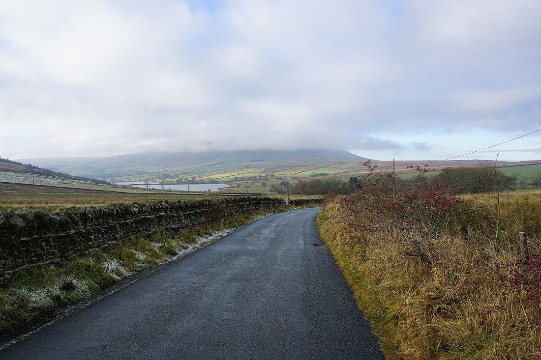
The Black Moss Reservoirs and a cloud topped Pendle Hill as I head down Black Moss Road
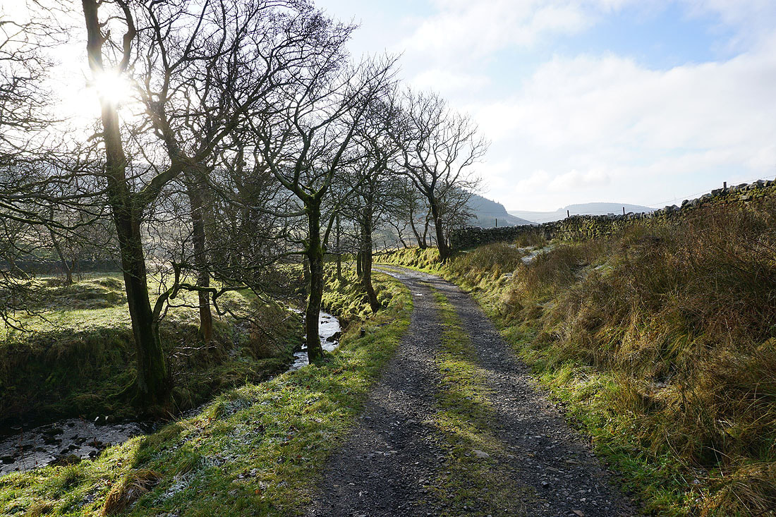
Sunshine through bare trees on the track to Upper Black Moss Reservoir
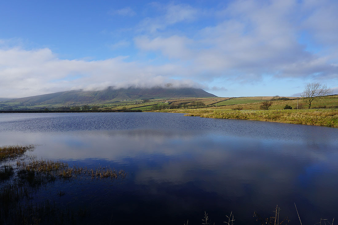
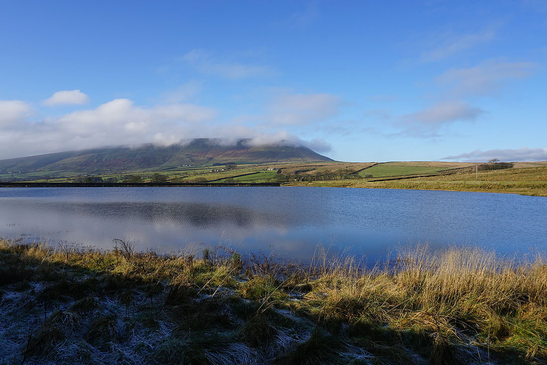
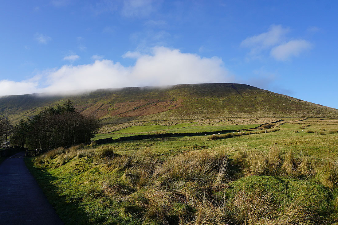
Pendle Hill from Upper Black Moss Reservoir. It looks like the cloud might be clearing..
Heading for Higher Laithe Farm and Barley Lane
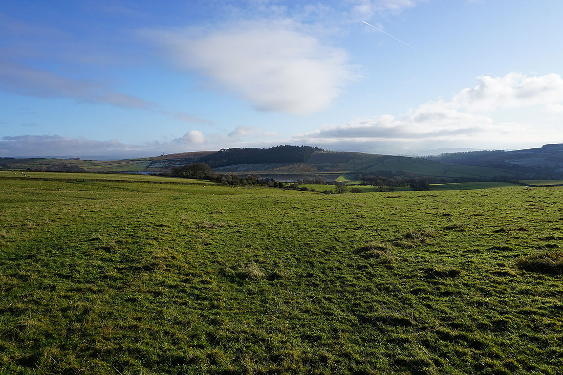
Looking back to the Black Moss Reservoirs and Stang Top Moor
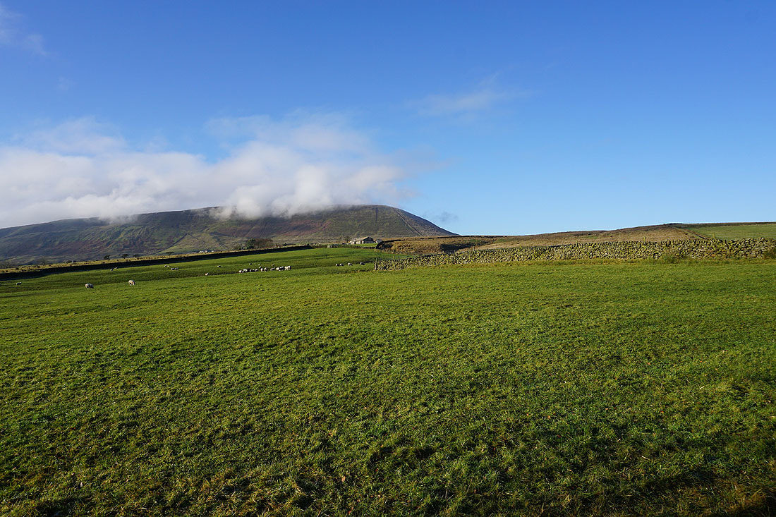
On the track to Pendle Side Farm and the hill is still teasing me. Is the cloud going to clear properly or won't it?
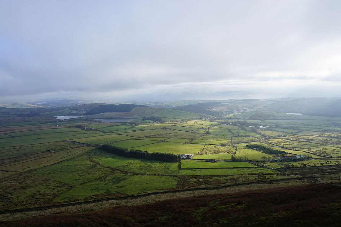
The Black Moss Reservoirs and Barley from the steep path up the east face. Pendle Hill has decided to stop playing games with me and keep itself hidden for today.
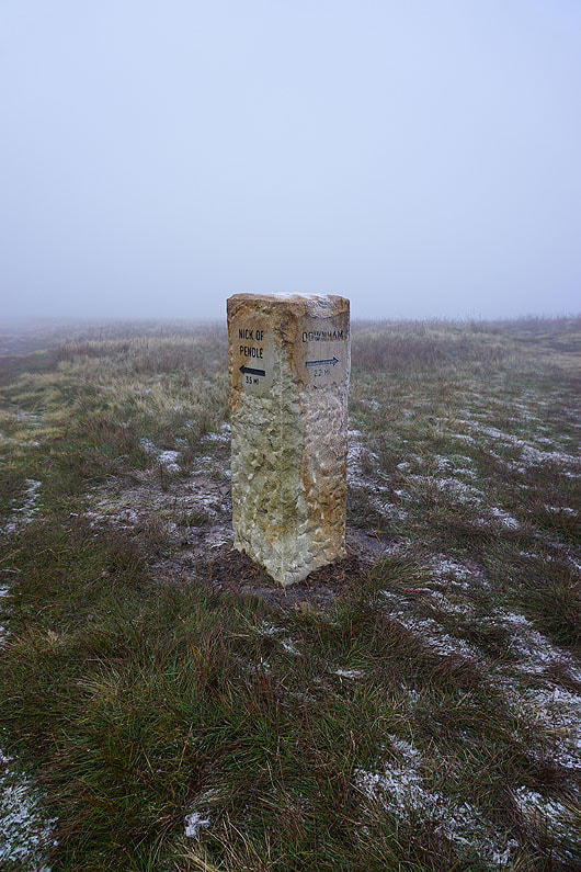
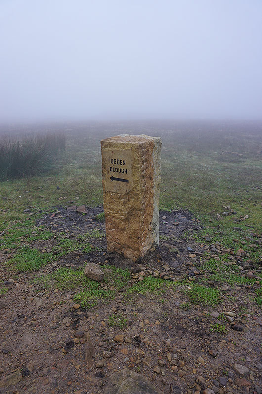
This direction indicator is new
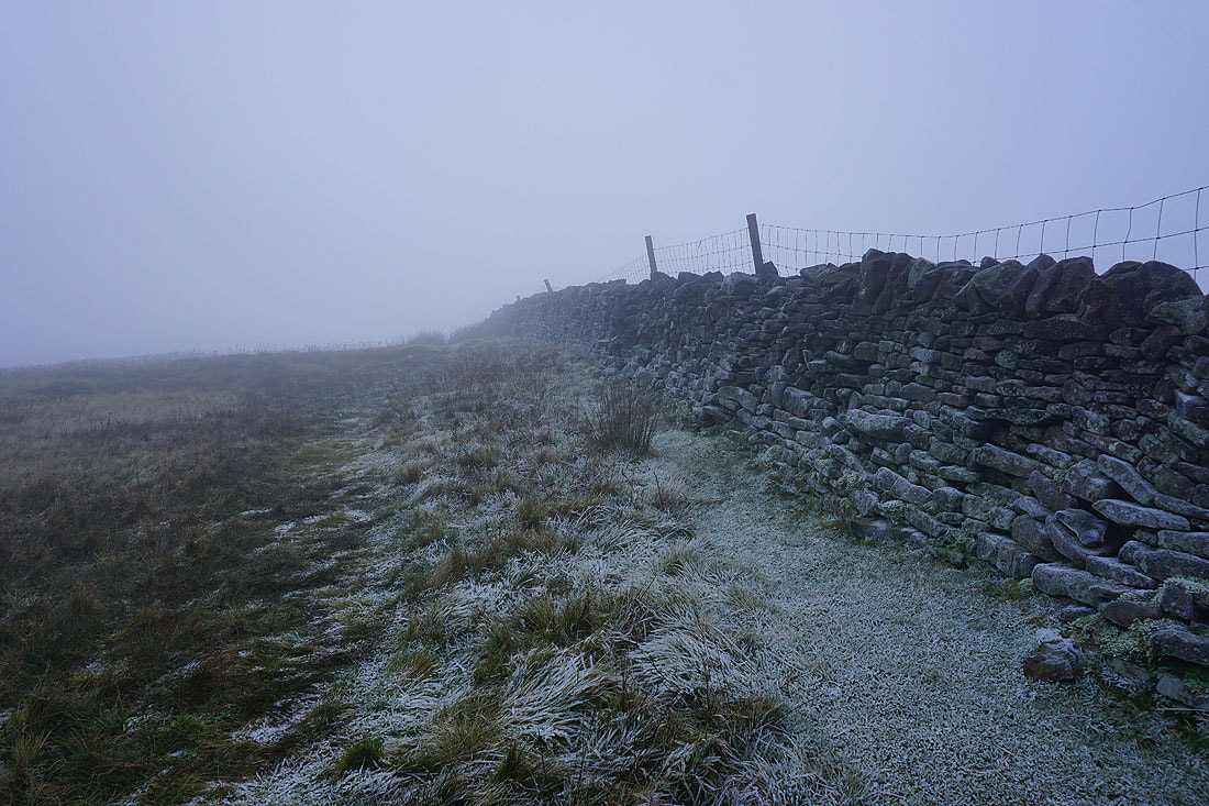
The frost covered wall shows how cold it is up here
Another new addition
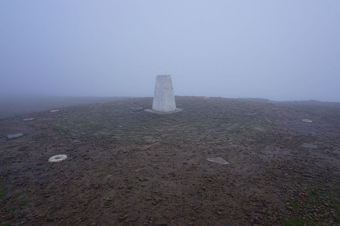
Unsurprisingly the trig point is unoccupied. It's not a day for hanging around.
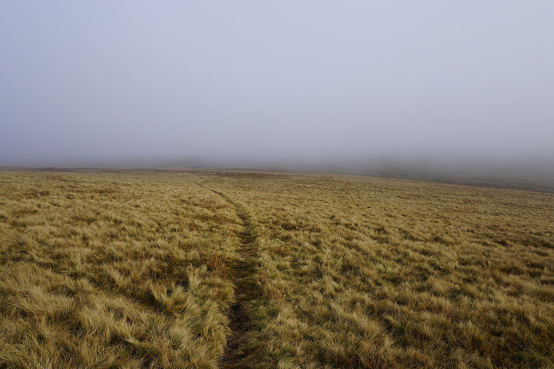
Not much to see at the pool on Downham Moor
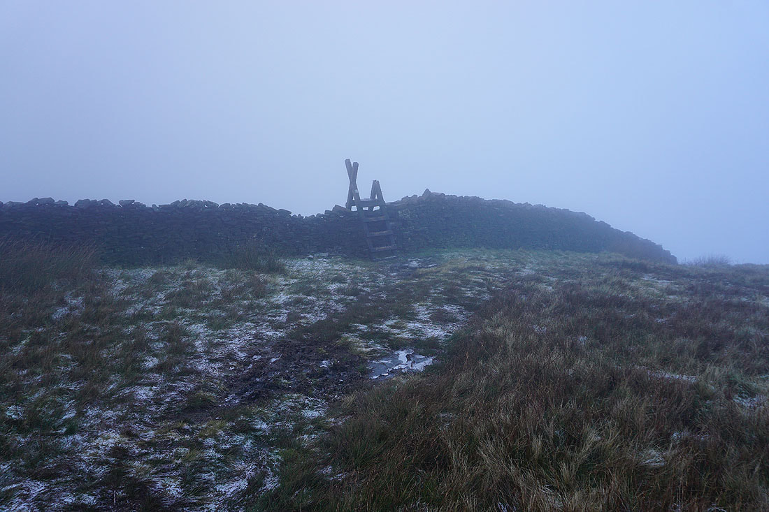
The stile over the wall onto Worston Moor has seen better days
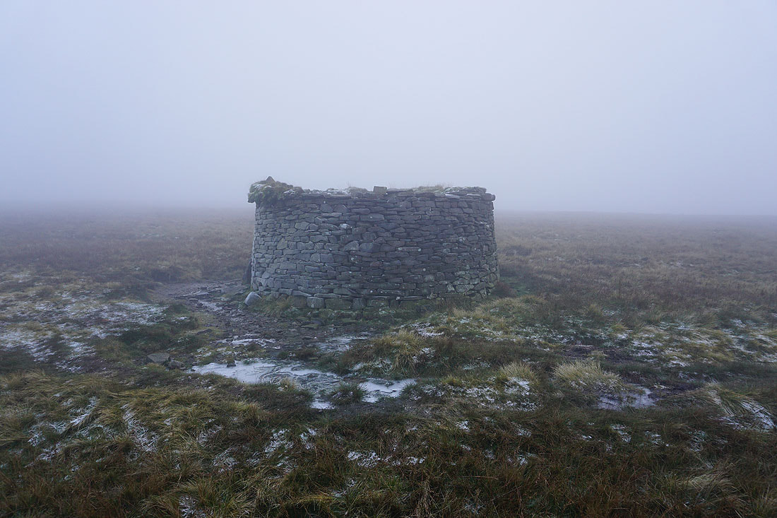
At the circular shelter
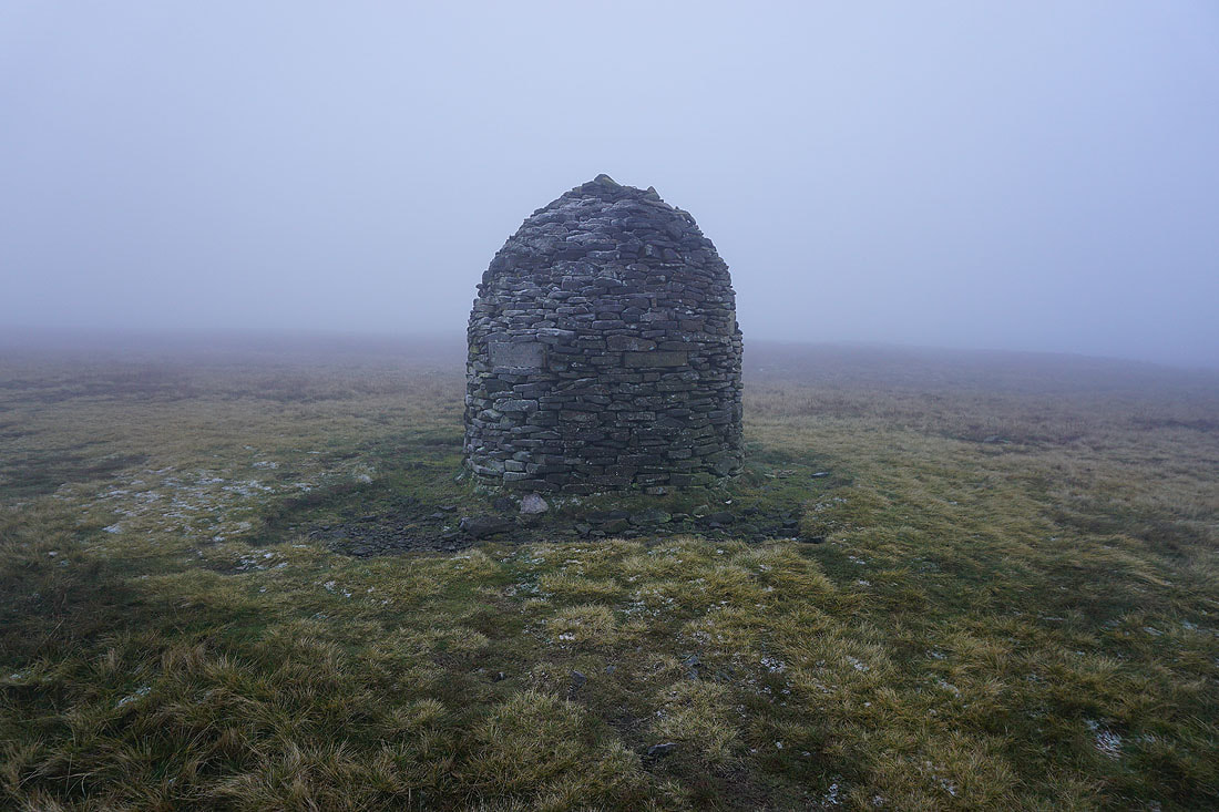
and at the Scout Cairn
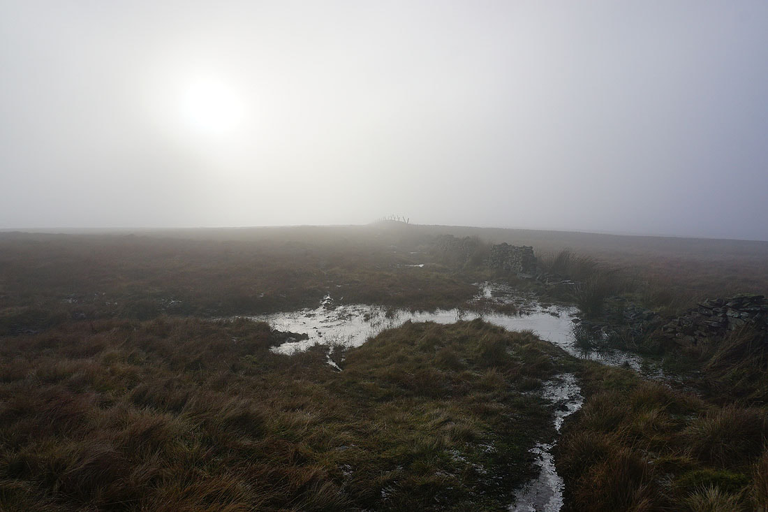
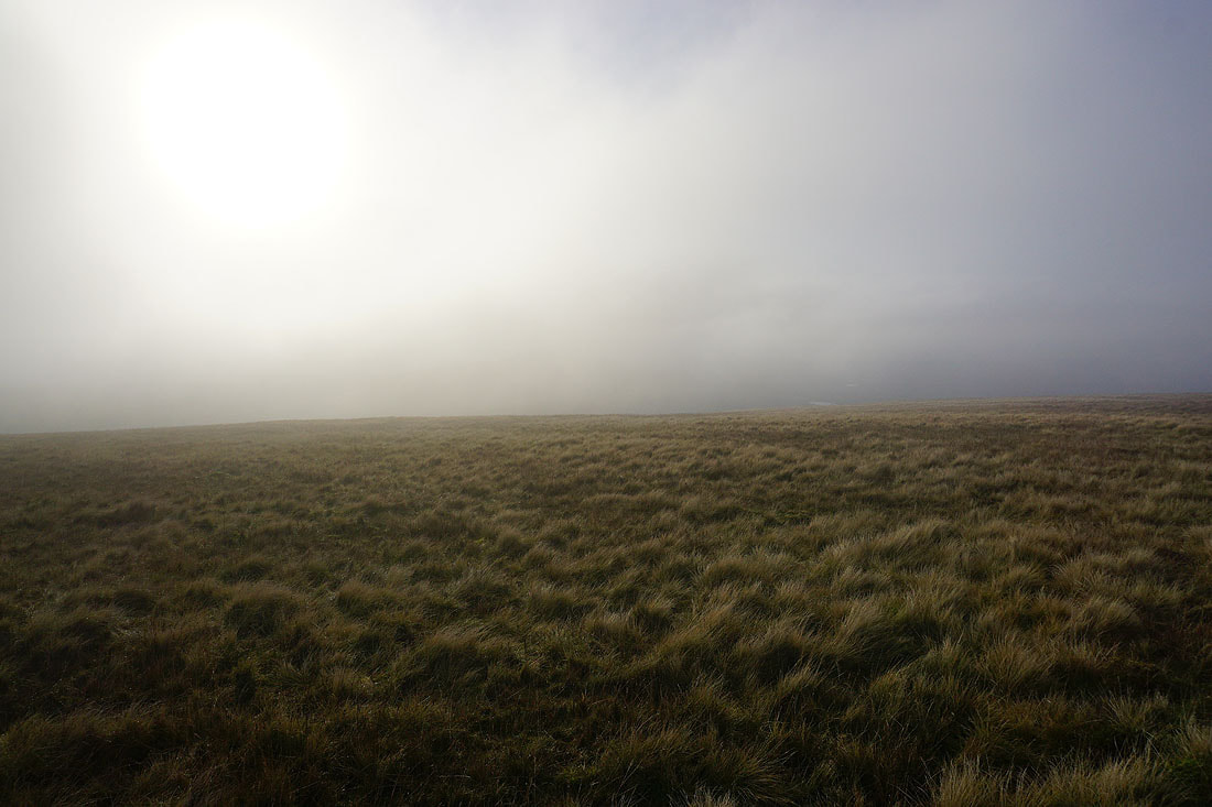
The sun tries to break through as I head across Mearley Moor
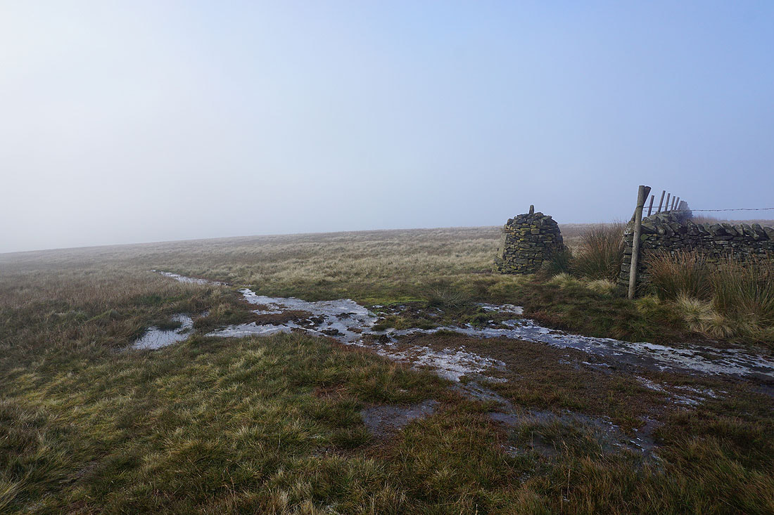
At the Clayton-le-Moors Harriers cairn at the western end of Mearley Moor
The sun trying to break through the cloud is quite atmospheric..
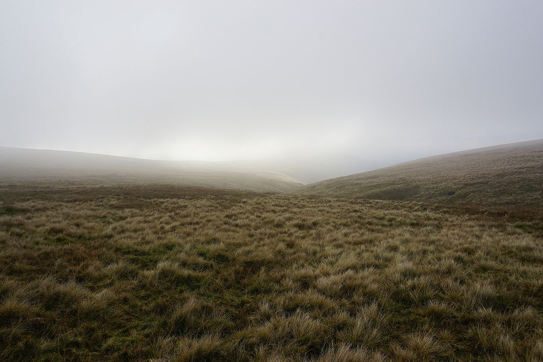
Above Howcroft Brook
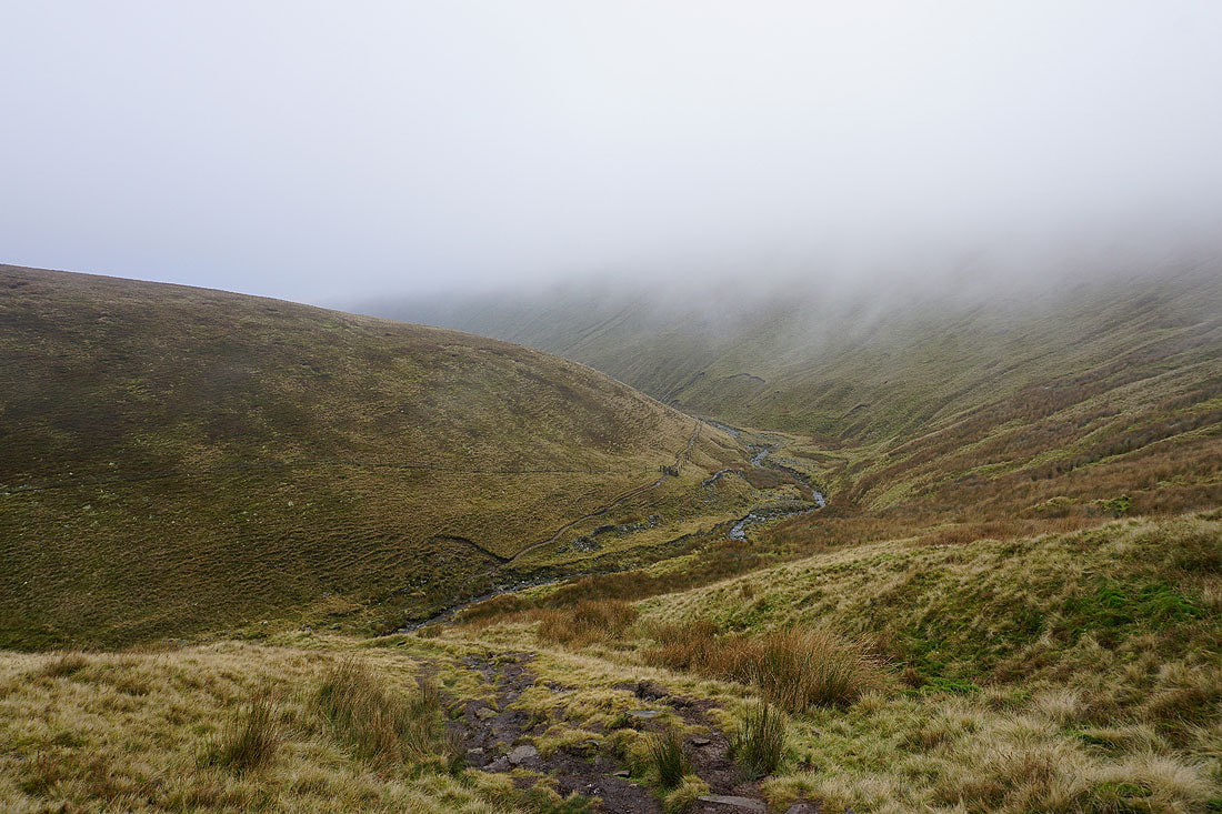
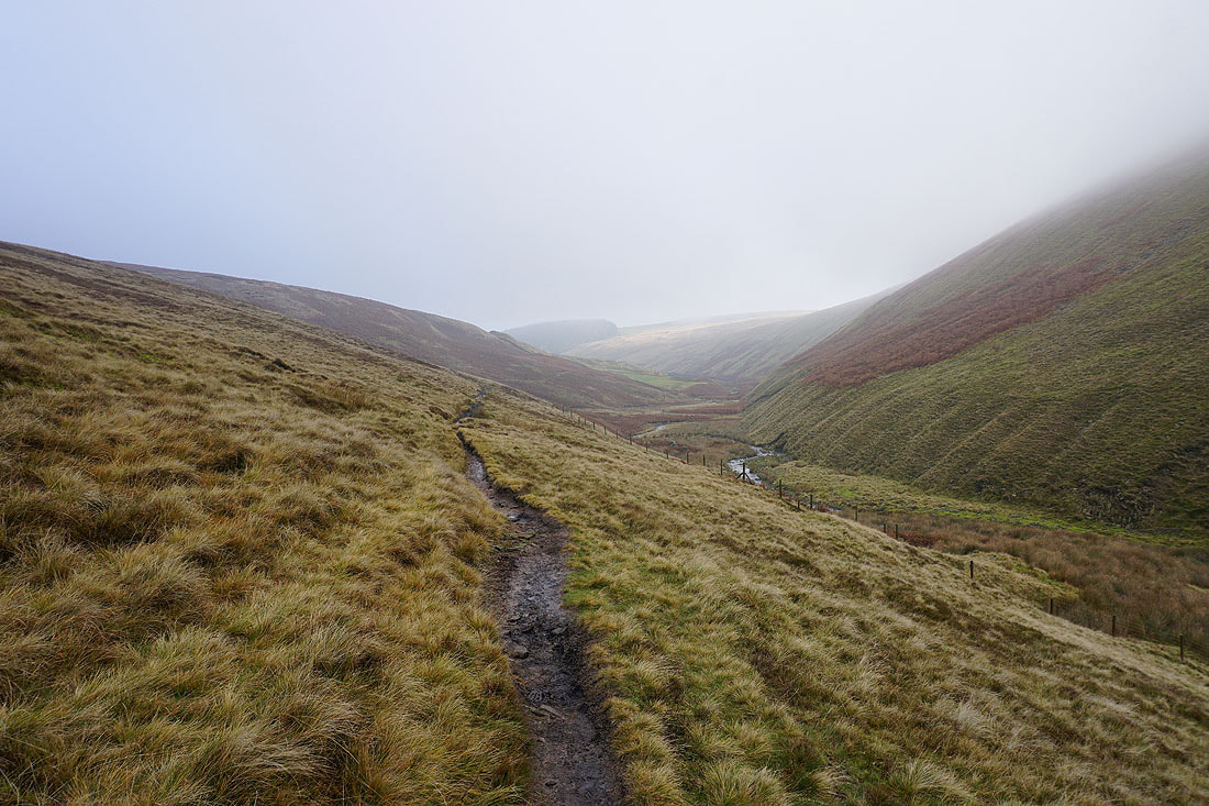
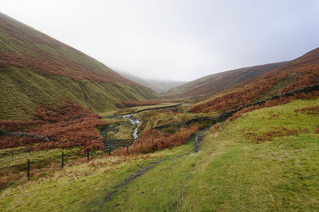
Making my way down Ogden Clough..
Looking back up Ogden Clough
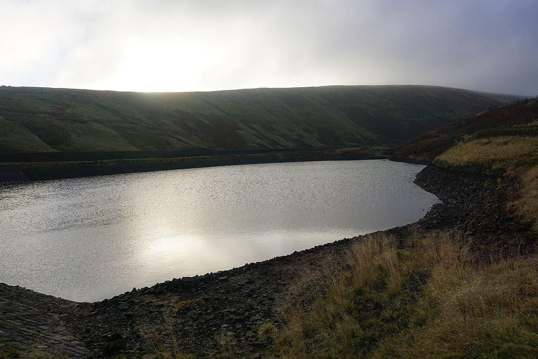
Upper Ogden Reservoir
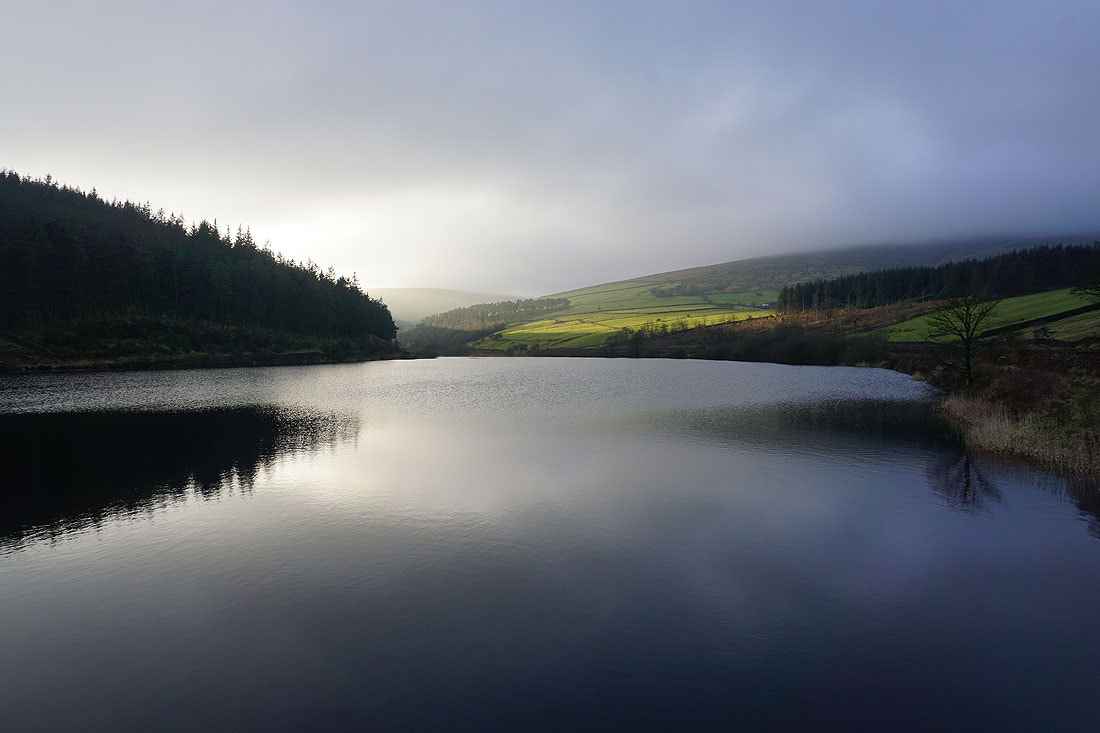
The sun breaks through the cloud for a final shot of Lower Ogden Reservoir
