30th October 2021 - Weets Hill
Walk Details
Distance walked: 8.5 miles
Total ascent: 1340 ft
OS map used: OL21 - South Pennines
Time taken: 5 hrs
Route description: Foulridge-Hey-Hey Fold-Booth House Farm-High Lane-Copy Nook-Lister Well Road-Higher View Farm-Duck Pond Farm-Weets Hill-Weets House Farm-Gisburn Old Road-Pendle Way-Hollin Hall-Barnoldswick Road-Slipper Hill Reservoir-Reedymoor Lane-Foulridge Lower Reservoir-B6251-Foulridge
The weather forecast for this weekend has me resorting to making the most of a showery afternoon, with a walk from home to Weets Hill. In the end it wasn't too bad, a few showers did pass through but they didn't last too long with the strong wind that was behind them, and the sunny spells between them provided great views of the moors in their autumn colours, along with plenty of rainbows.
Setting off from home I walked to the western end of Station Road and took the footpath straight up the hill and across fields to the corner of Whitemoor Road. Here I turned right and took a lane past some houses, then a footpath on the right down to Hey Fold. The next bit was a little complicated as I took the footpath right at Hey Fold, then left across the crest of a little hill and past Hullet Hall down to County Brook Lane. I briefly walked down the lane, took a footpath on the left through a patch of woodland and across a bridge over County Brook, before resuming following footpaths north across fields past Wood End Farm to Booth House Farm, where I took a footpath up a field to High Lane. I then walked a short distance north along High Lane, then took a track on the left and followed it uphill past Copy Nook to the bridleway of Lister Well Road. I then walked down Lister Well Road until I reached a gate on the left and a footpath across access land to Higher View Farm at the top of Folly Lane. I then turned left and followed the bridleway up to Duck Pond Farm, then the footpath round the farm and onto access land, before turning right and following a path by a wall to the top of Weets Hill. After taking in the view I took the Pendle Way to reach Weets House Farm at the top of Gisburn Old Road. I then walked down Gisburn Old Road until I reached Star Hall Farm where I took the Pendle Way on the right across fields. I left the Pendle Way above Admergill Pasture Cottage for a footpath by a wall, before crossing the wall and taking a footpath down through fields to Hollin Hall on Barnoldswick Road. I crossed the road and took the footpath opposite down through fields to where it meets the lane by Slipper Hill Reservoir. I then took the footpath round Slipper Hill Reservoir to reach a track past Sand Hall to reach Reedymoor Lane, which I crossed to reach Foulridge Lower Reservoir. After walking north by Foulridge Lower Reservoir I took a ladder stile on the left for a footpath up across fields to the B6251 for a return to Foulridge and home.
Route map
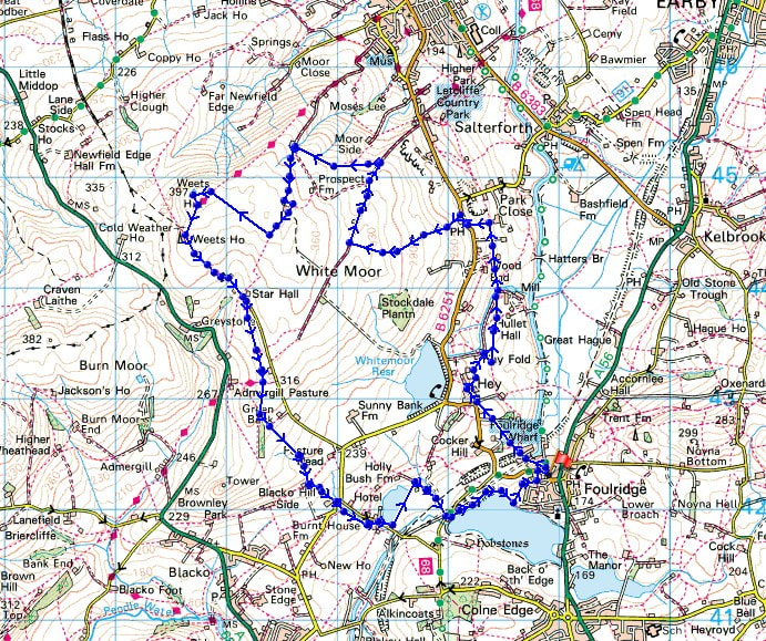
© Crown copyright. All rights reserved. License number PU 100034184.
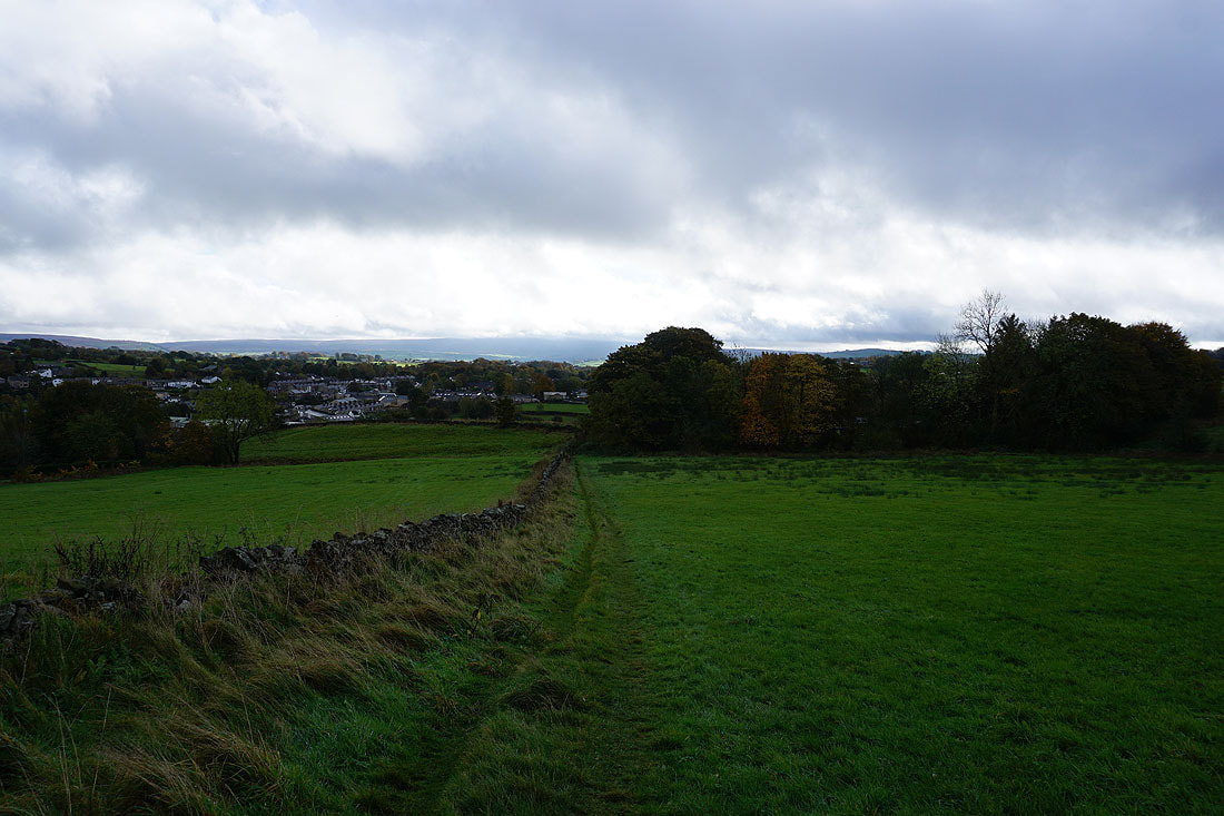
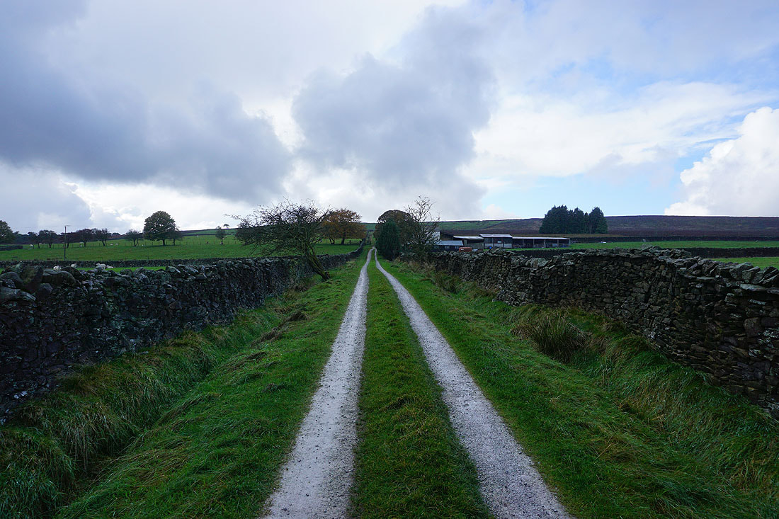
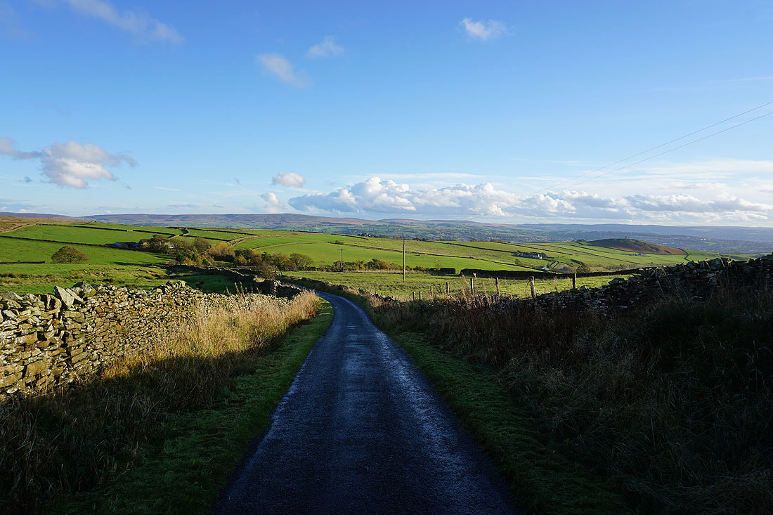
Leaving Foulridge behind with Boulsworth Hill in the distance
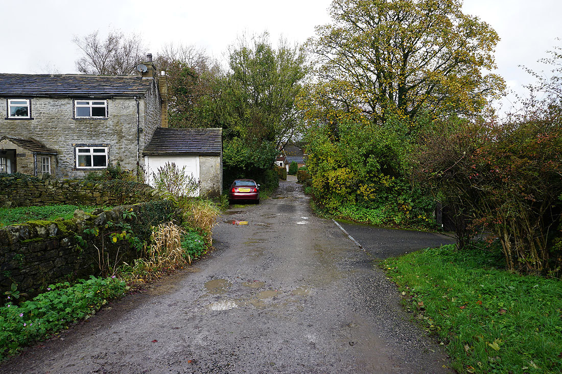
Through the hillside hamlet of Hey
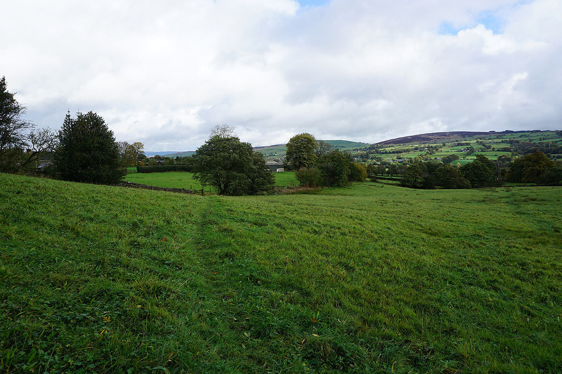
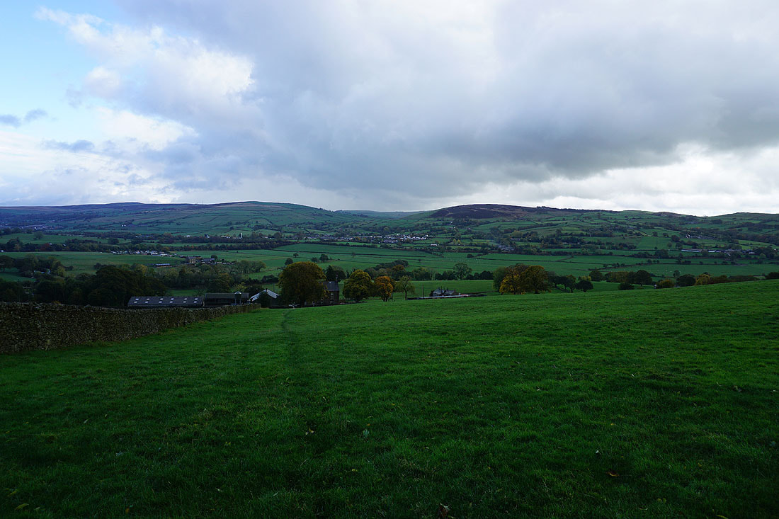
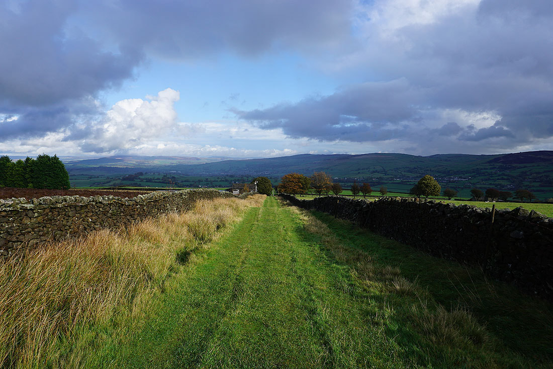
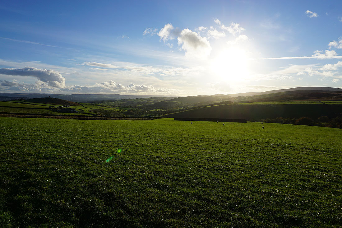
On the path to County Brook with Bleara Moor and Kelbrook Moor to the right
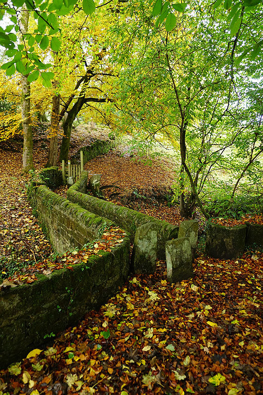
Bright sunshine contrasts with dark clouds
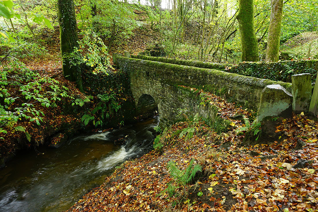
The footbridge over County Brook..
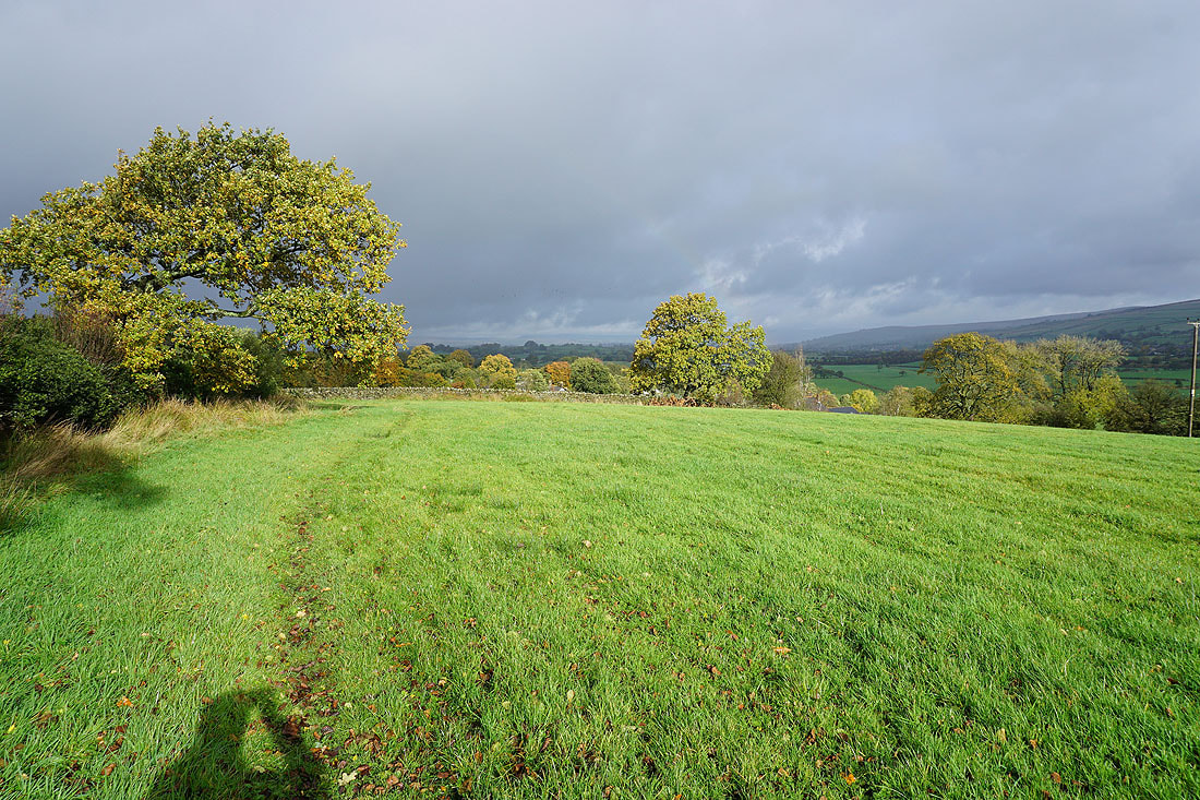
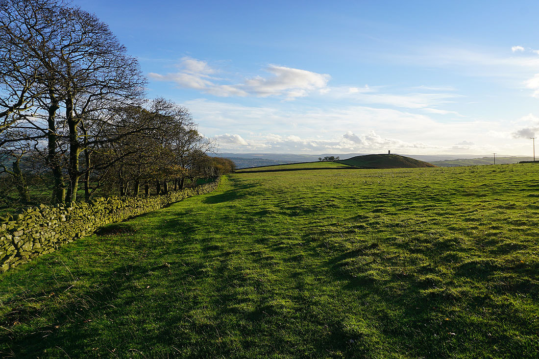
Bleara Moor, Kelbrook and Kelbrook Moor in the distance as I look back on the path from Booth House Farm up to High Lane
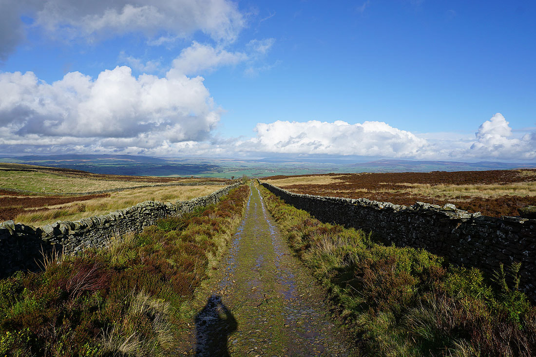
On the track from High Lane up to Lad Lowe Hill
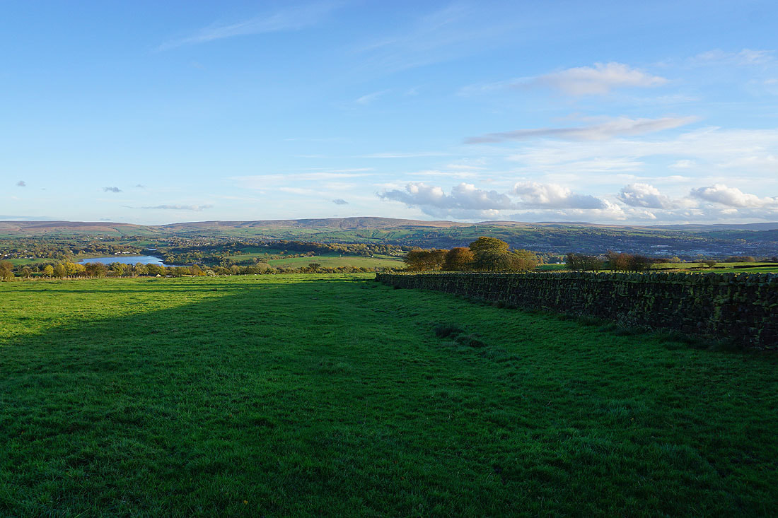
Looking back with Barden Moor, Thornton Moor and Bleara Moor in the distance
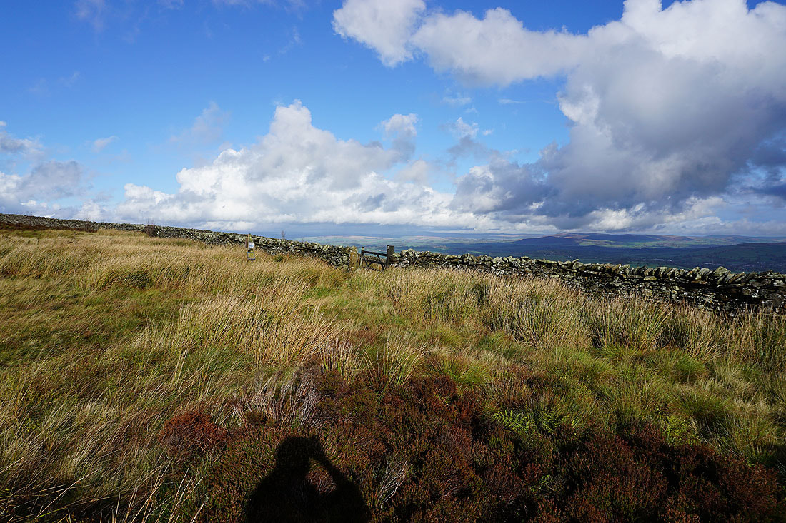
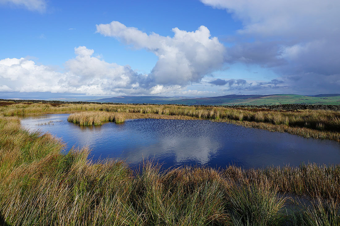
Onto access land on Lad Lowe Hill with the Yorkshire Dales in the distance to the northeast
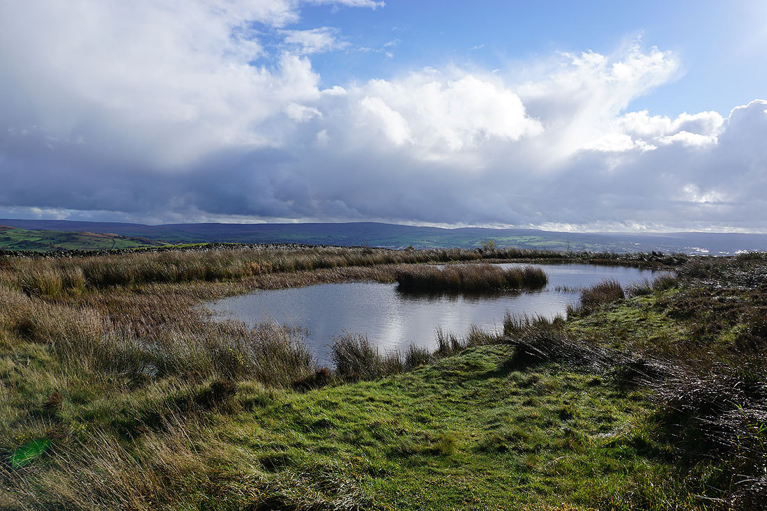
The pool on Lad Lowe Hill makes a good foreground for a photo. Looking south to Boulsworth Hill.
Barden Moor, Thornton Moor and Bleara Moor in the distance
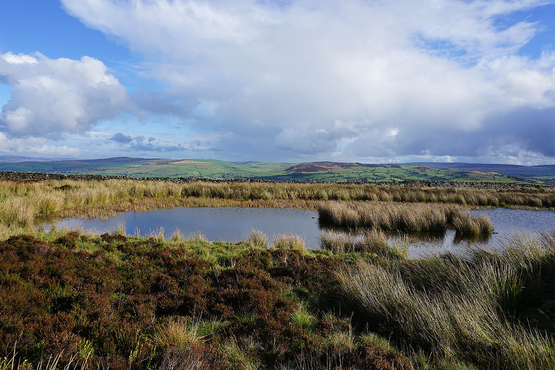
Thornton Moor, Bleara Moor and Kelbrook Moor to the east
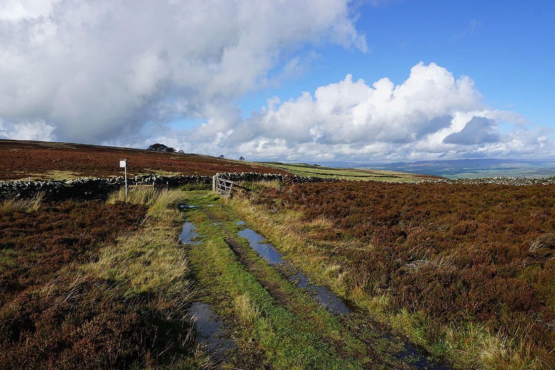
Onto the bridleway of Lister Well Road..
..and I can make out Great Whernside in the distance to the northeast
I leave Lister Well Road for the footpath across the moor to Higher View Farm. Barden Moor, Thornton Moor, Earby, and Bleara Moor to the northeast.
and Ingleborough and the moors above Settle to the northwest
On the bridleway from Higher View Farm up to Duck Pond Farm
Looking back and there's a great view to the Yorkshire Dales to the north, and I can easily make out the tops of Penyghent and Great Whernside
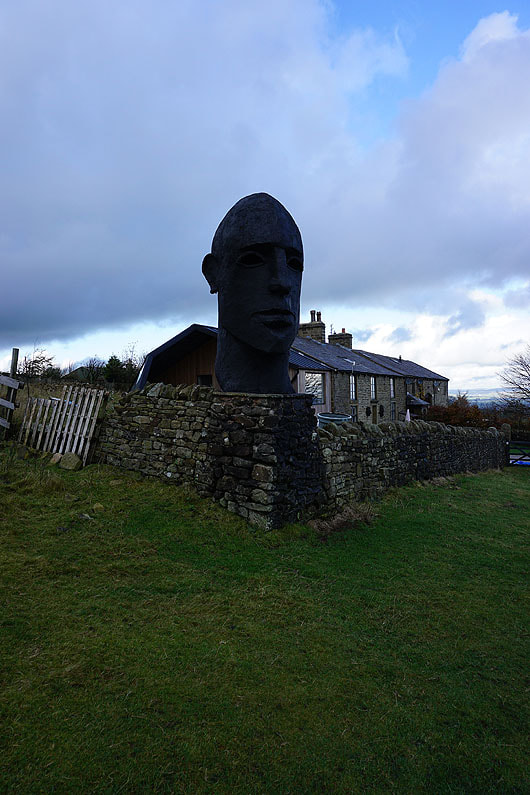
The sculpture at Duck Pond Farm
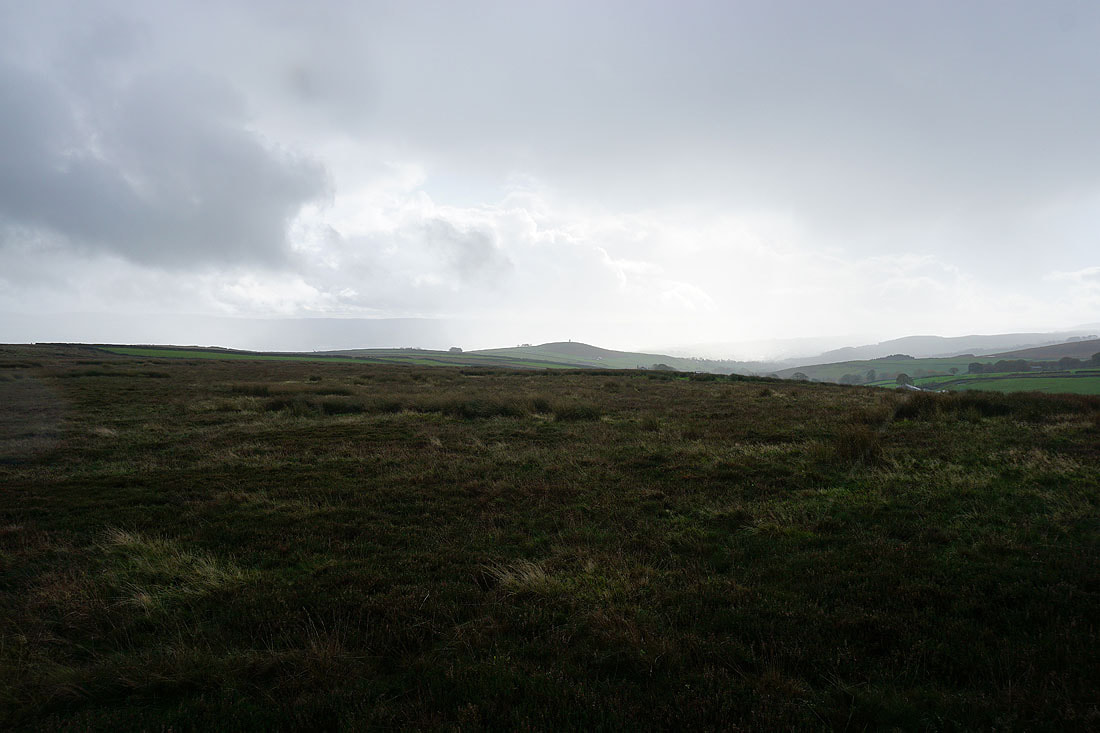
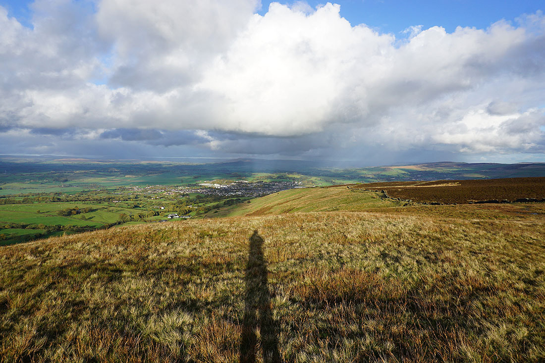
My view towards Blacko Hill and the Forest of Pendle disappears as a shower passes through
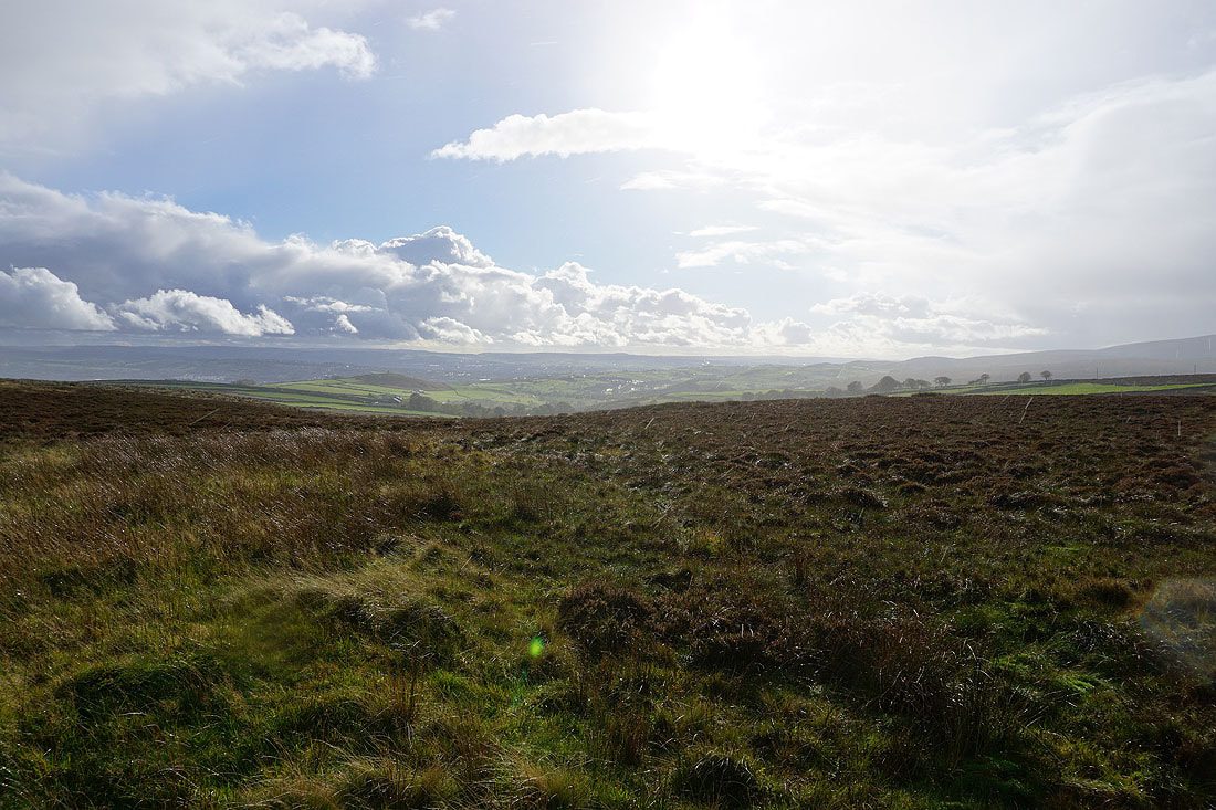
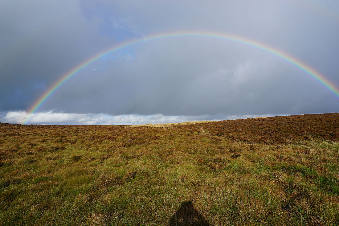
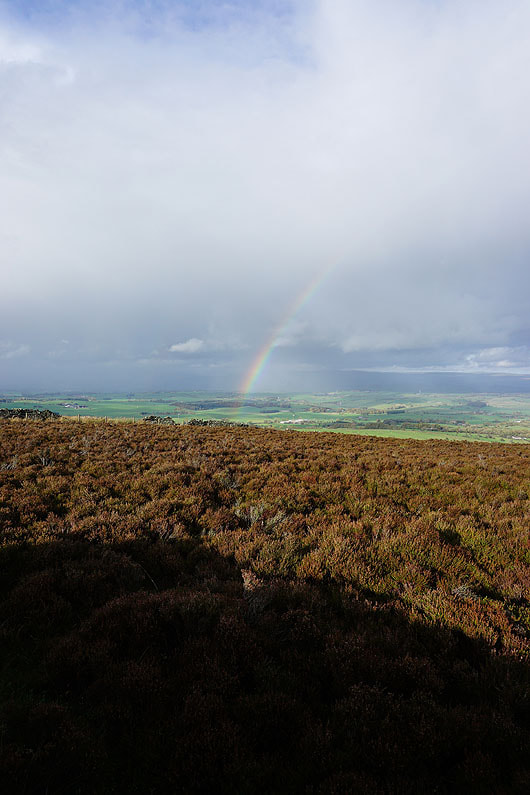
It doesn't last long though and the sun returns while it's still raining
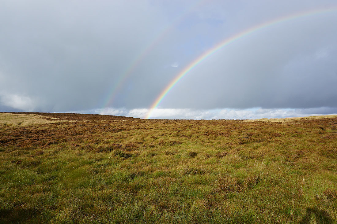
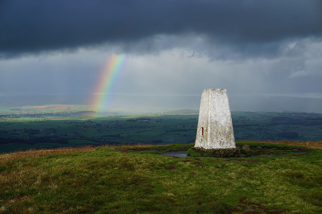
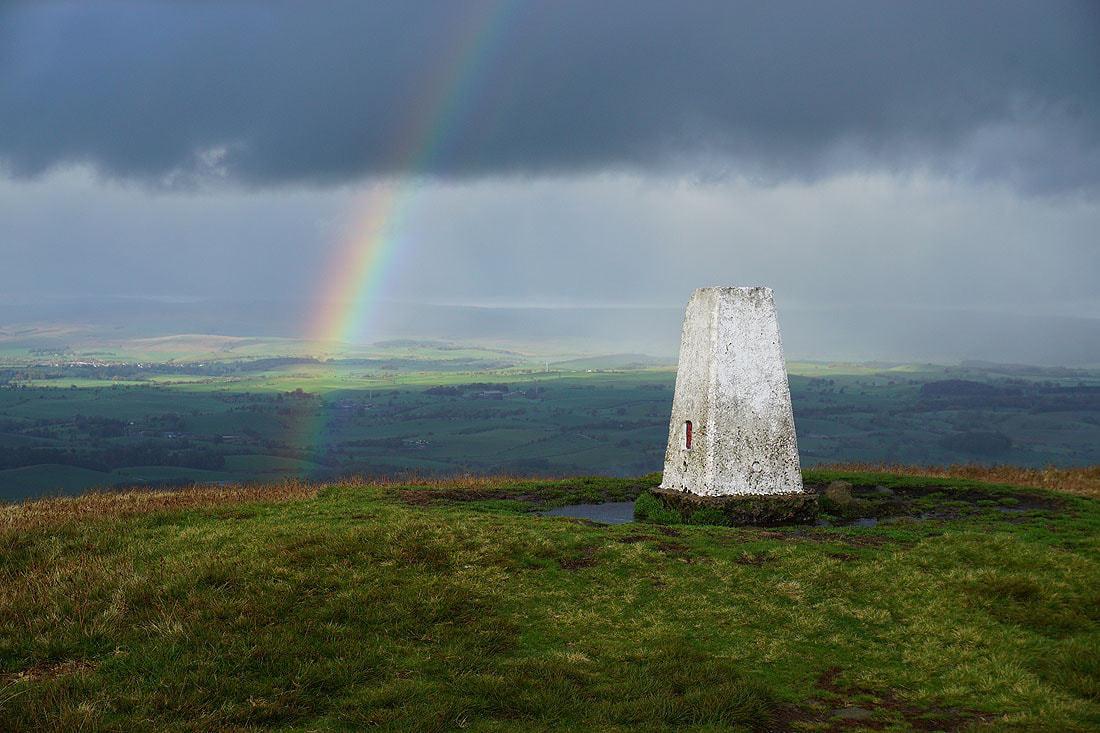
Which means I get to see a rainbow..
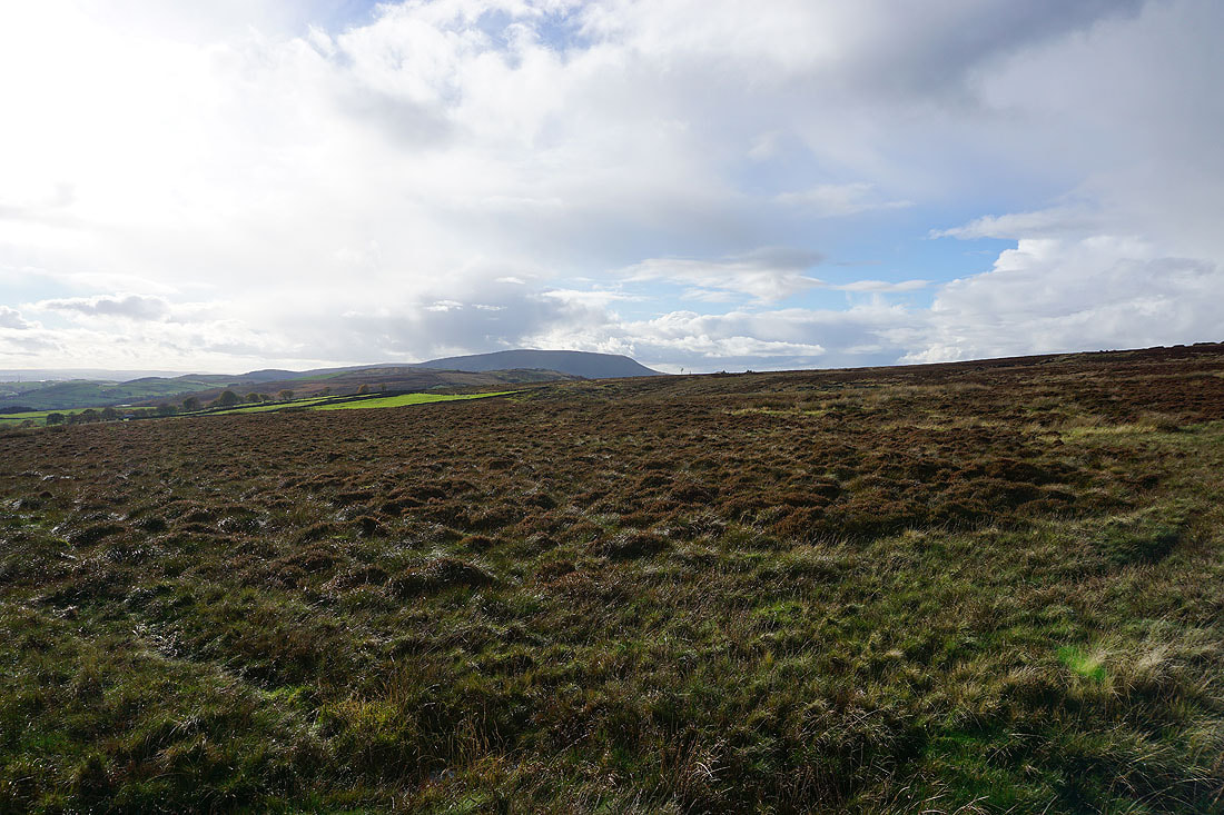
Looking across the moorland slopes of Weets Hill to Pendle Hill..
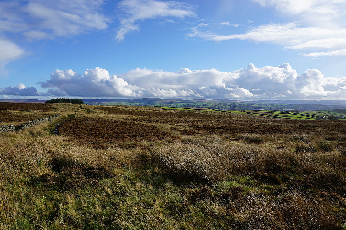
..and to Boulsworth Hill
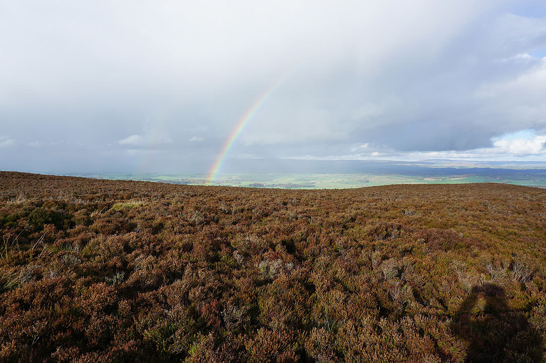
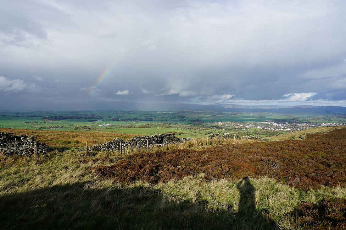
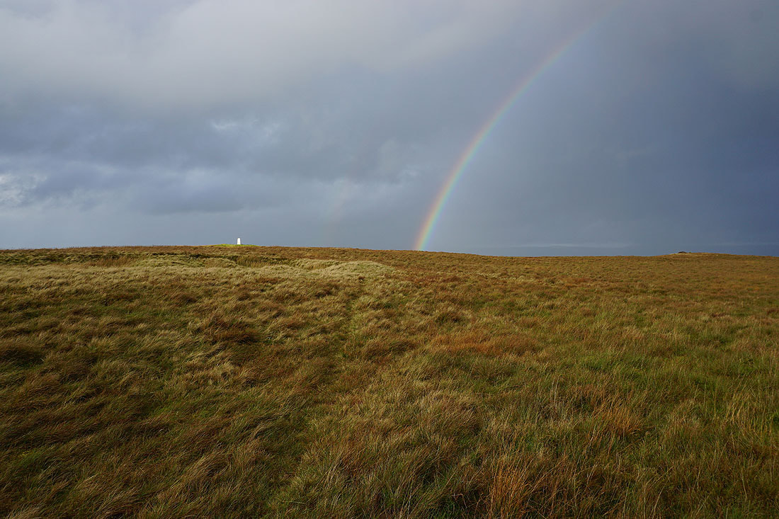
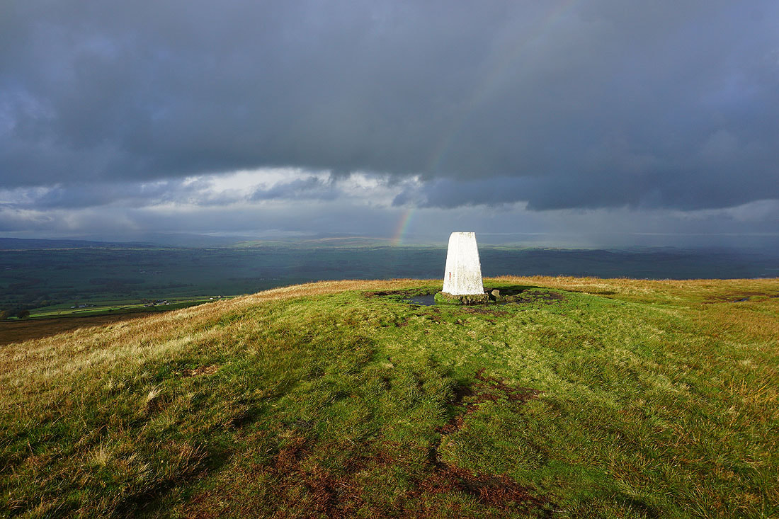
Another rainbow as a shower passes by to the north..
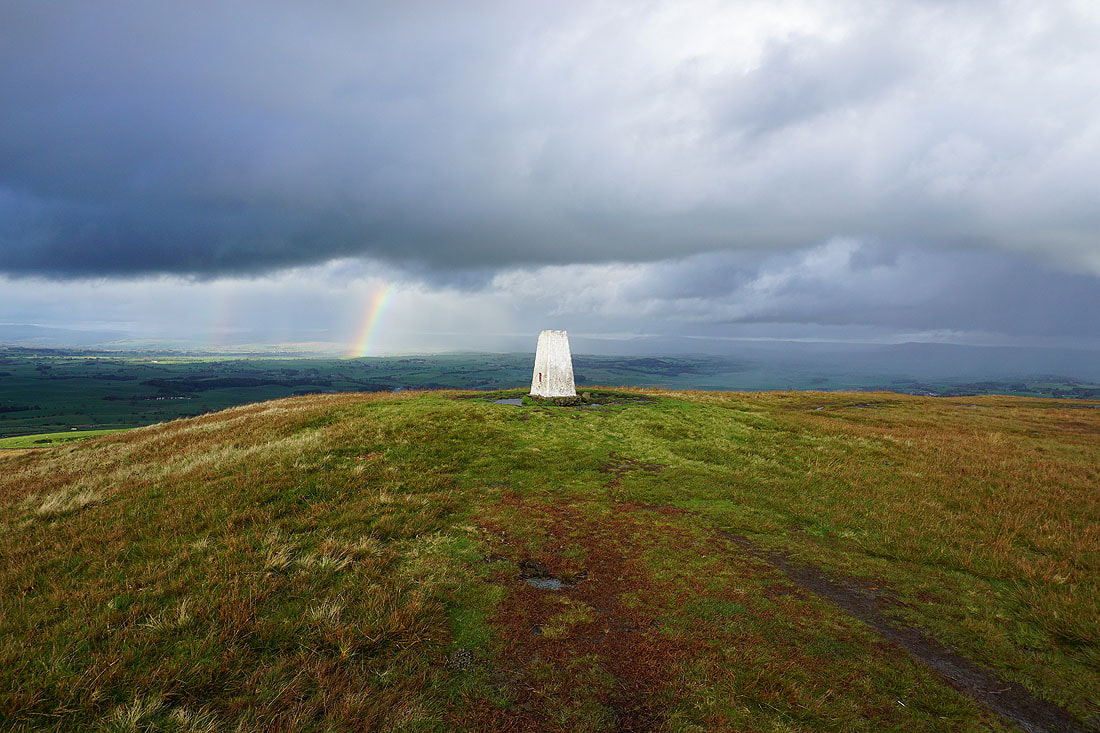
At the northeastern corner of Weets Hill and there are dramatic skies looking north and northeast towards the Yorkshire Dales..
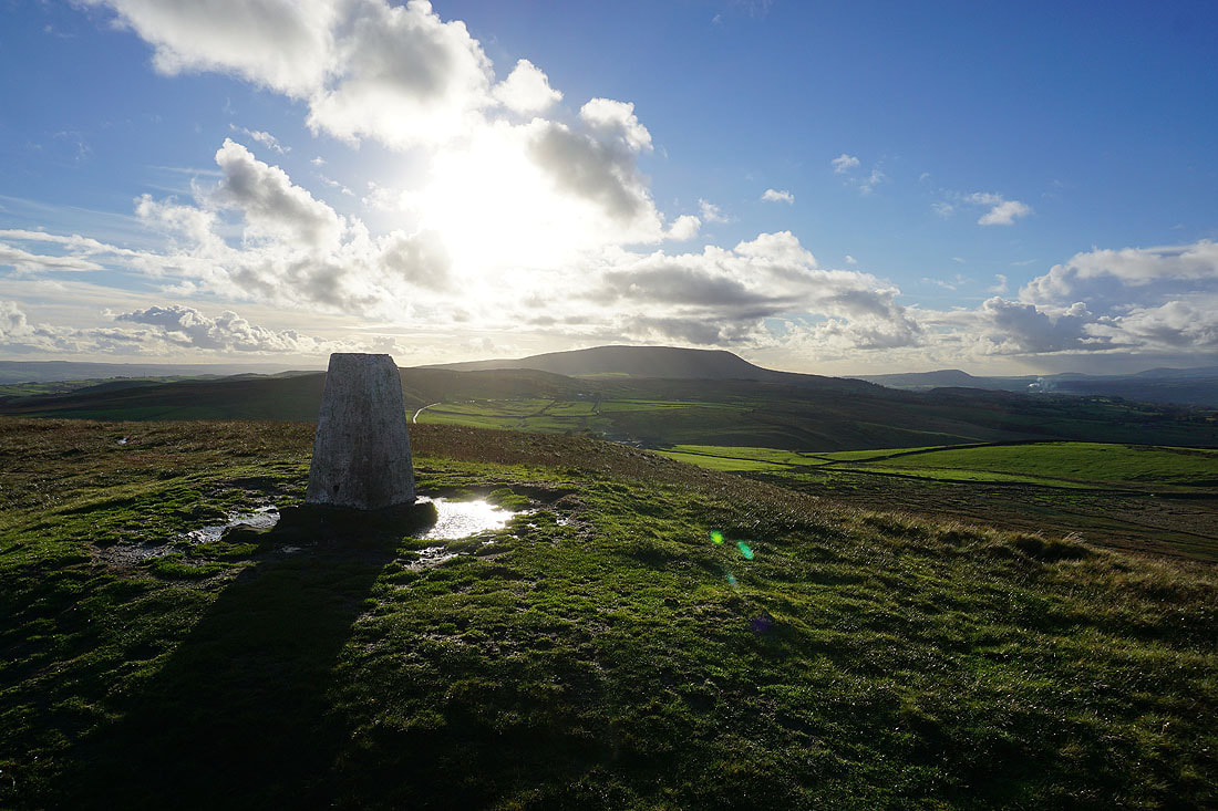
Pendle Hill and the trig point
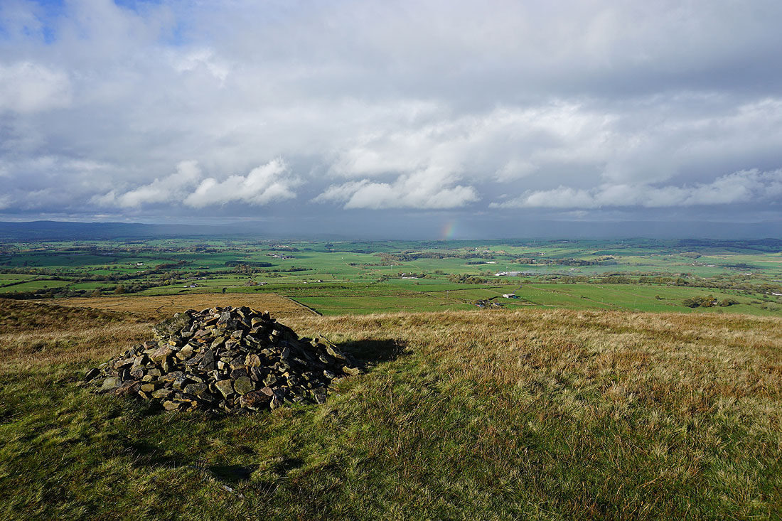
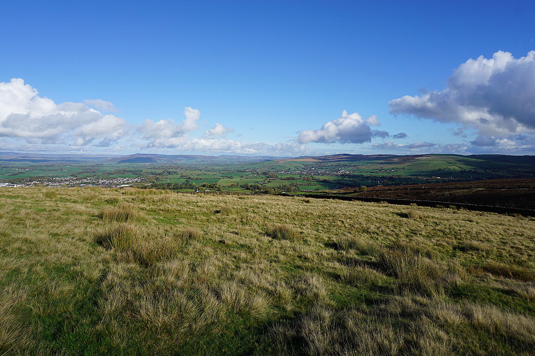
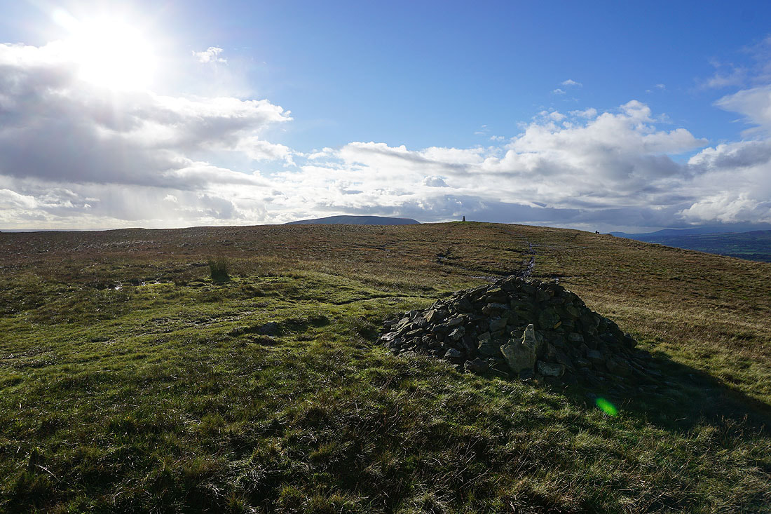
Looking north from the cairn at the eastern end of Weets Hill and I can just about make out the hills around Settle in the Yorkshire Dales
but I can see Great Whernside more clearly below the dark clouds in the distance
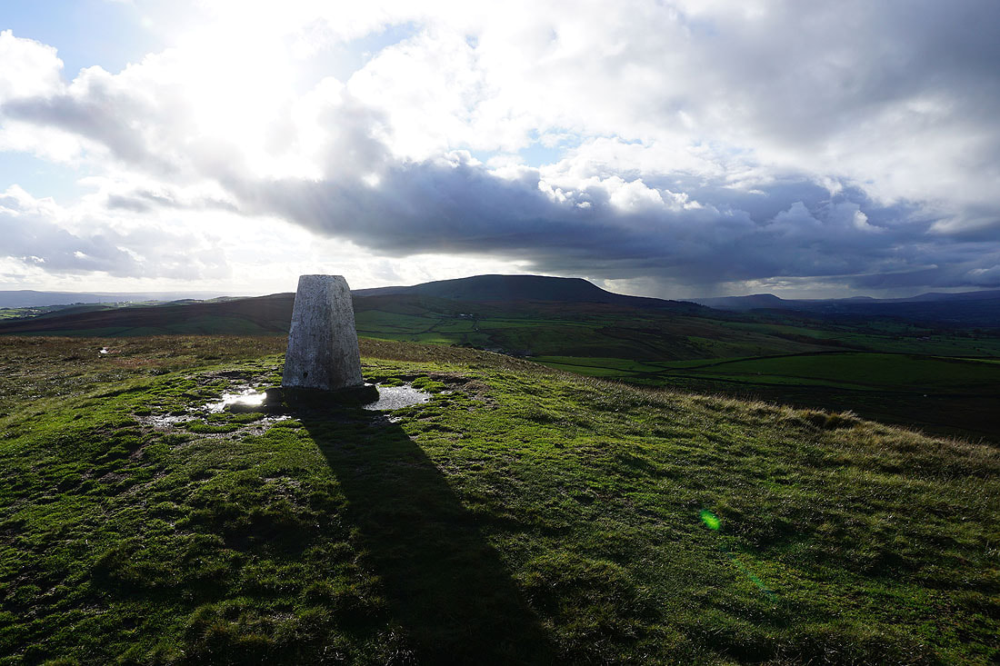
Pendle Hill from the trig point on Weets Hill
Ingleborough and Penyghent in the distance
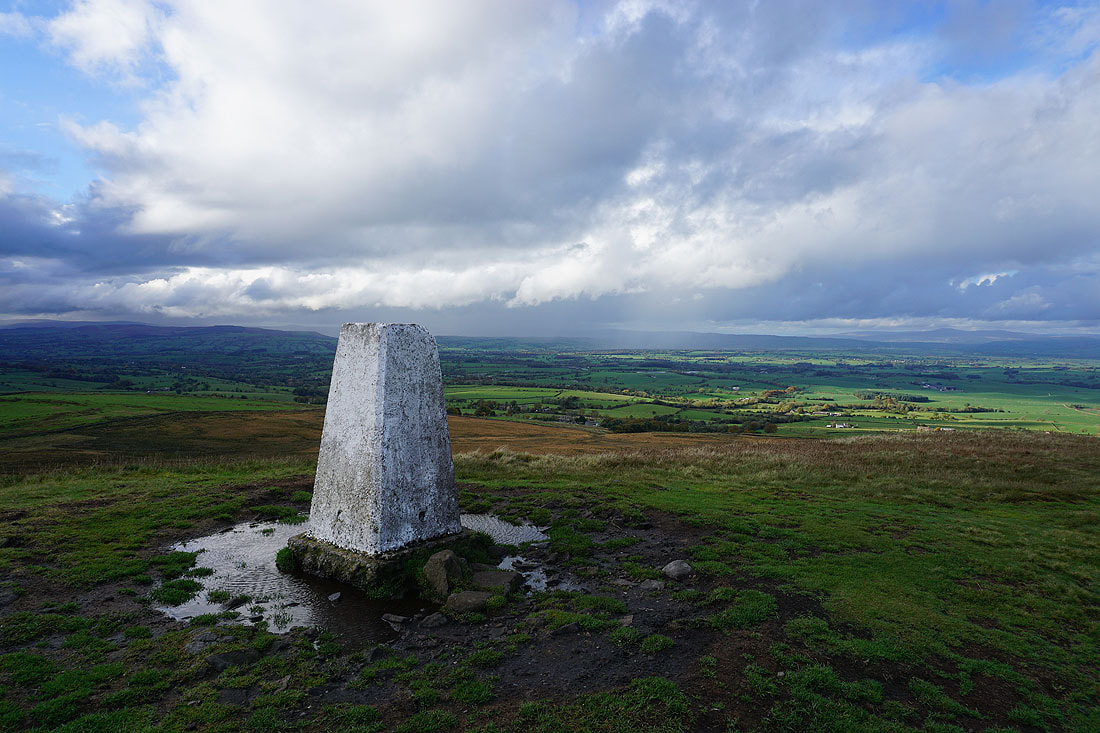
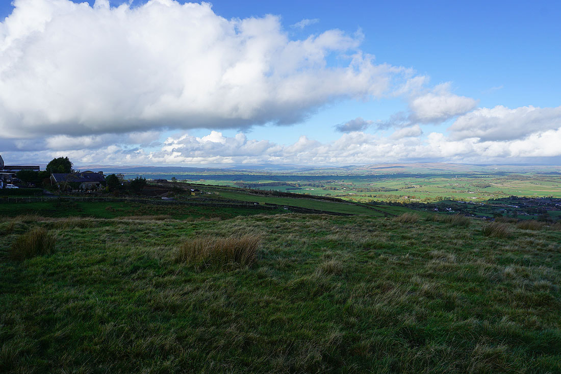
Looking across the Ribble Valley towards the Forest of Bowland
Before heading back down I decided to take a break. I'm glad I did, I would have missed all these rainbows and dramatic skies if I hadn't stuck around.
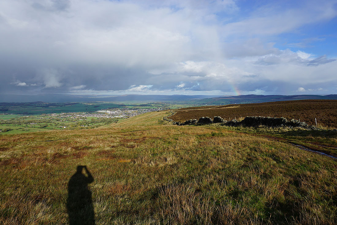
Looking north towards Ingleborough and the bit of rainbow below the clouds fills more of the sky and seems to get closer....

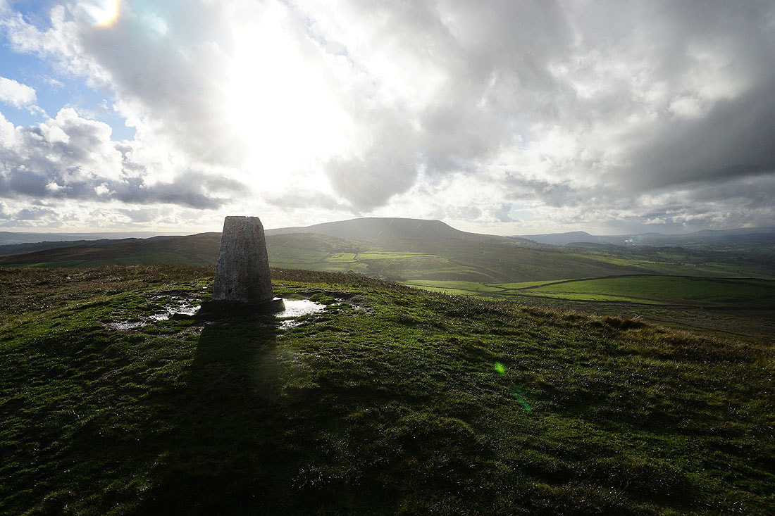
Bright sunshine returns as a shower clears..
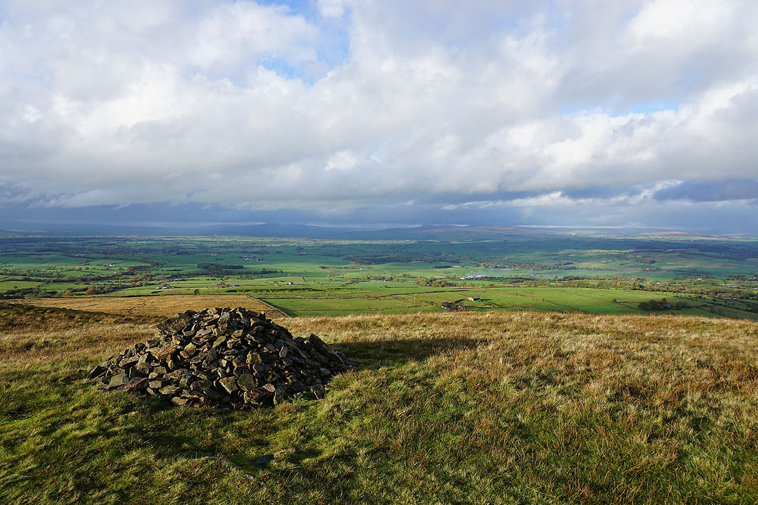
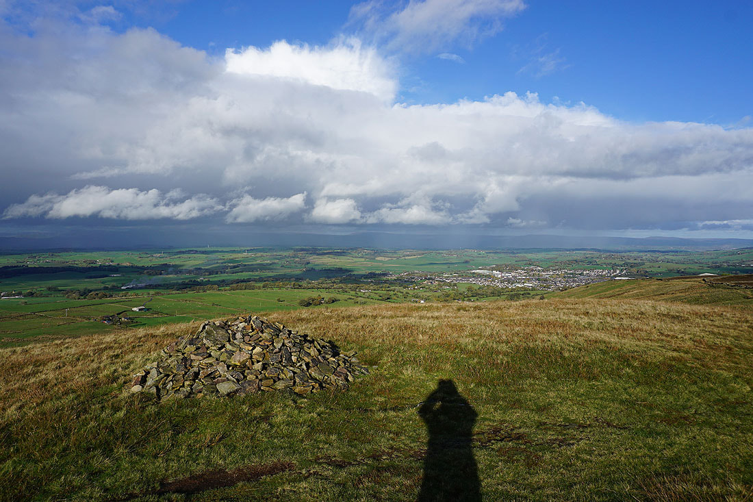
Back at the cairn at the eastern end of the hill. Looking north to Ingleborough and Penyghent.
and northeast to Barden Moor, with Barnoldswick below
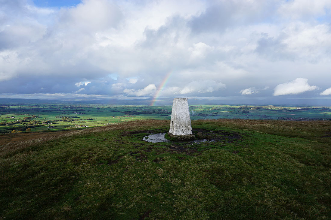
Bright skies and sunshine for a final shot of Pendle Hill from the trig point. It's definitely time that I was heading back, and hopefully the last of the showers have passed through.
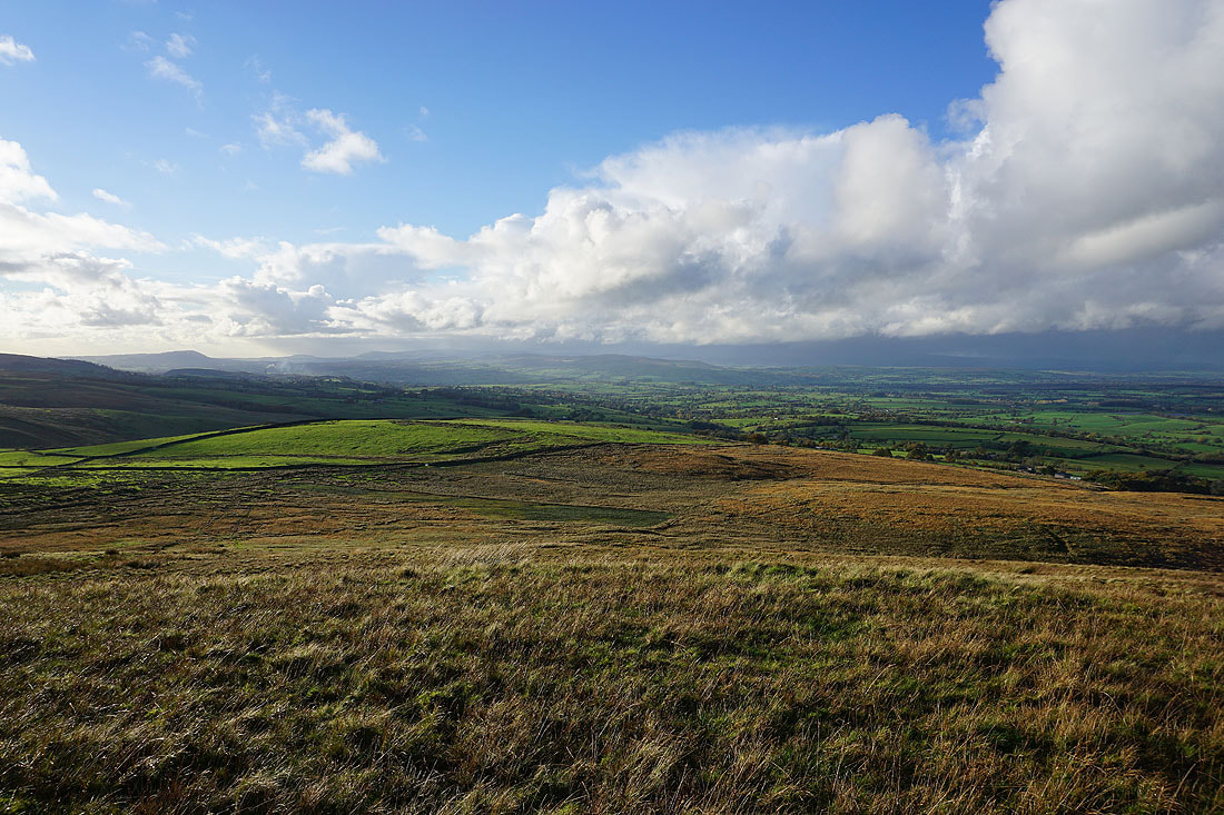
Looking across the Ribble Valley to dark clouds over the Forest of Bowland
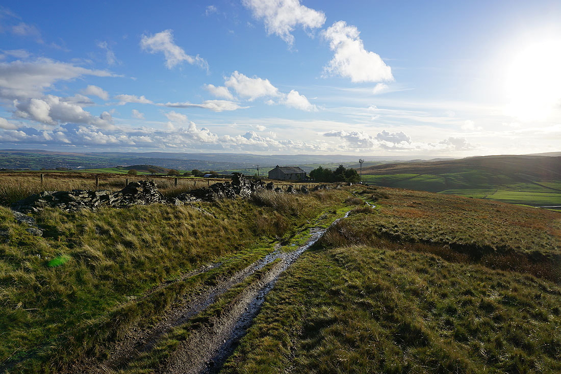
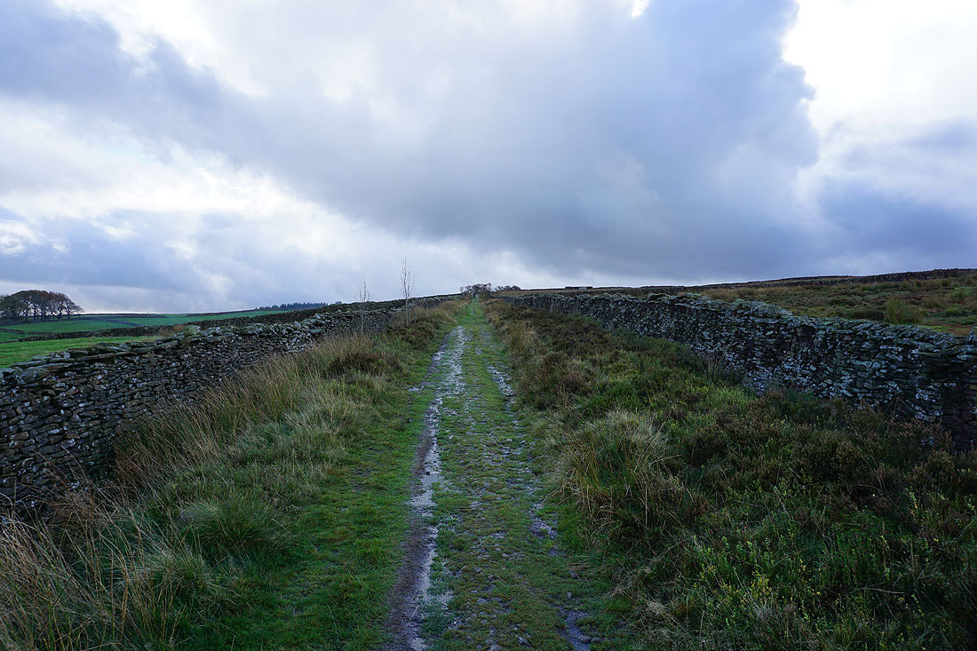
On the Pendle Way to Weets House Farm
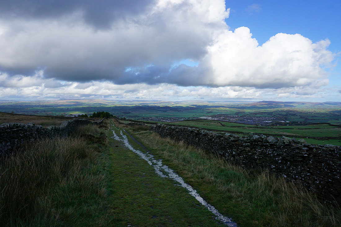
Heading down Gisburn Old Road with Boulsworth Hill in the distance
Blacko Hill, the Forest of Pendle and Pendle Hill from the Pendle Way
On Blacko Hill
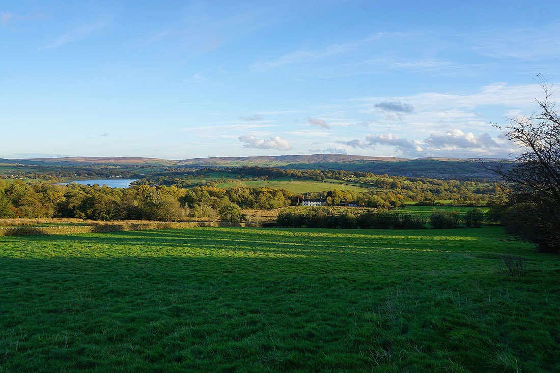
Ickornshaw Moor, Foulridge Lower Reservoir and Boulsworth Hill as I head down to Barnoldswick Road from Blacko Hill..
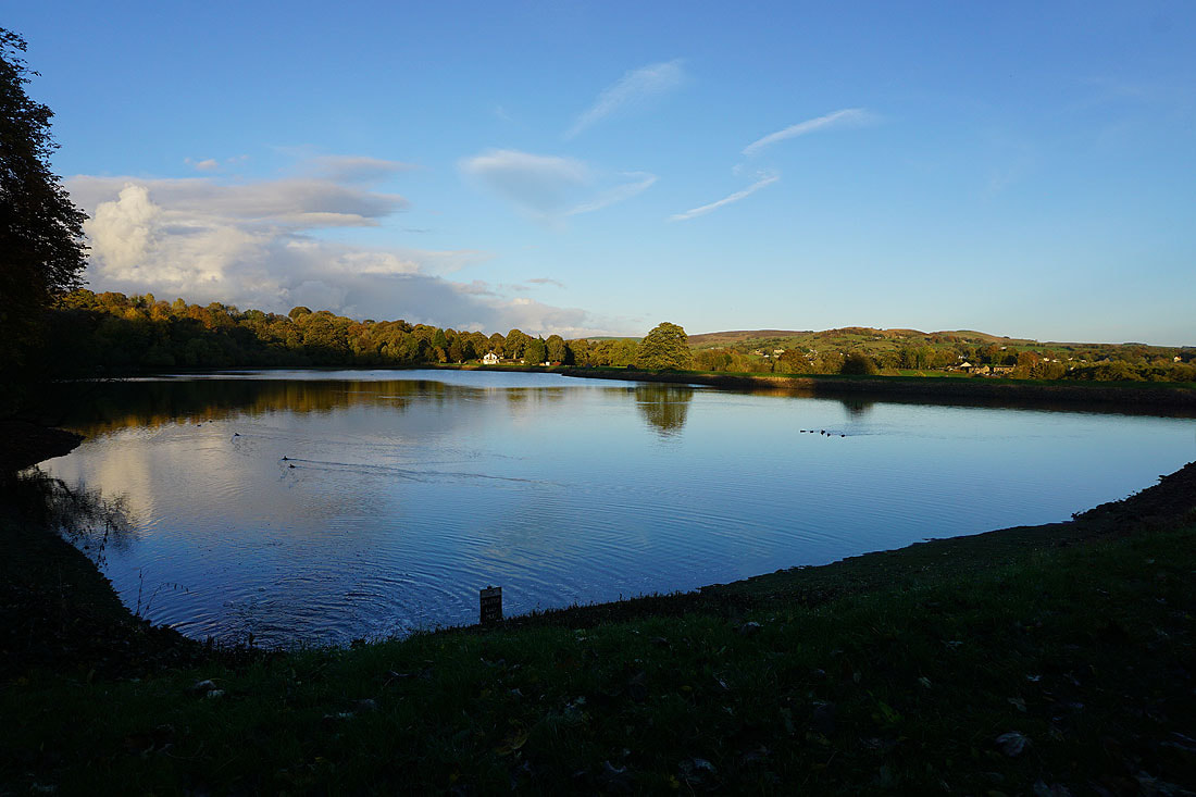
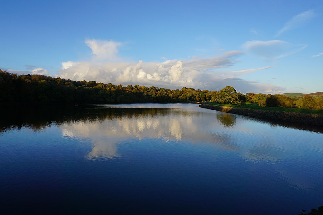
Late afternoon sunshine at Slipper Hill Reservoir...
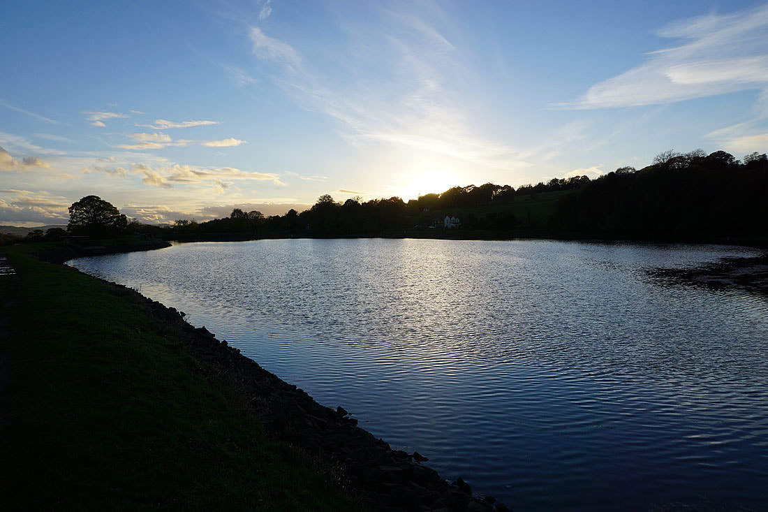
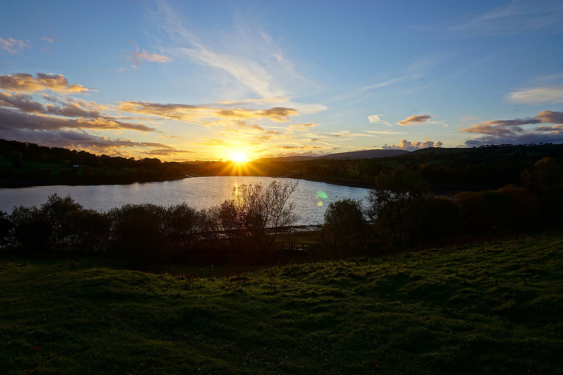
A last photo of the sun setting over Foulridge Lower Reservoir