30th October 2022 - Scaleber Force and Catrigg Force
Walk Details
Distance walked: 12.3 miles
Total ascent: 2419 ft
OS map used: OL2 - Yorkshire Dales, Southern & Western areas
Time taken: 7.5 hrs
Route description: Settle-Mitchell Lane-Lambert Lane-High Hill Lane-Scaleber Force-High Hill Lane-Stockdale Lane-Warrendale Knotts-Winskill Stones-Upper Winskill-Pennine Bridleway-Catrigg Force-Pennine Bridleway-Stainforth-Stainforth Bridge-Little Stainforth-Stainforth Lane-Hargreaves Barn-Smearsett Scar-Dales High Way-Little Stainforth-Stainforth Lane-Stackhouse-Langcliffe-Settle
The forecast for today isn't so good and I'm almost certain to get caught in a shower or two, and it will be windy with the cloud sitting on the high fells at times, so I decided to do a fairly low-level walk. Since the autumn colours are looking pretty good at the moment I thought that should include visiting two of my favourite waterfalls, Scaleber Force and Catrigg Force, which are both in a woodland setting and in Ribblesdale. I decided to start from Settle (though I could have set off from Langcliffe or Stainforth), and visit Scaleber Force first and then head north via Warrendale Knotts to Catrigg Force, before crossing the River Ribble to make my way back to Settle. The showers turned up as forecast, in the early afternoon, and as luck would have it I was at Catrigg Force at the time, which meant that I had some shelter while they passed through. After they did the skies brightened up, the sun came out, and while I was walking up to Little Stainforth I thought I'd pay a visit to Smearsett Scar. Unfortunately I couldn't get there quick enough and I arrived at the trig point on Smearsett Scar under grey skies.
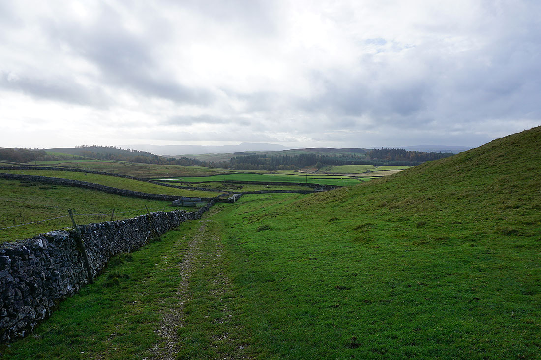
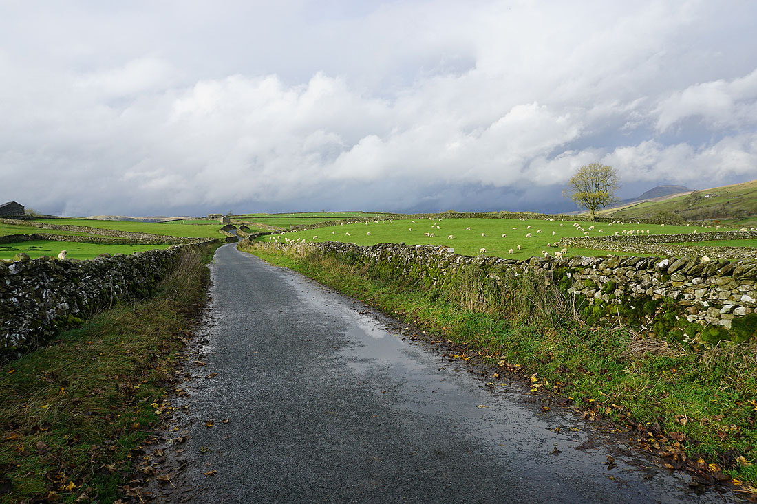
After parking in the Greenfoot car park in Settle I walked through the town and onto Mitchell Lane. I then walked south along Mitchell Lane until I'd passed the last of the cottages and reached a track on the left and a footpath sign to Lambert Lane. This footpath took me up along the edge of a wood and then across fields and down to the track of Lambert Lane, which I turned left onto and walked along to reach High Hill Lane. I then made my way east along High Hill Lane to visit Scaleber Force. After a break to take photos I retraced my steps along High Lane Lane to Stockdale Lane, which I walked up to reach a footpath on the left across to Attermire Scar. When I reached the Dales High Way trail I left the footpath and made my way up through the crags to reach the trig point on Warrendale Knotts. Once I'd taken in the view I made my way across to the footpath beneath Attermire Scar and followed it north past Victoria Cave to Jubilee Cave, where I crossed a ladder stile and made my way down to the road up from Langcliffe. After crossing a cattle grid I took the lane on the left and walked down it to Upper Winskill and onto the Pennine Bridleway to Stainforth, which took me to Catrigg Force, where I stopped for lunch. After this break I returned to the Pennine Bridleway and followed it down to Stainforth, across the B6479, then down the lane to Stainforth Bridge and up to Little Stainforth, where I turned right and walked north along Stainforth Lane to reach a footpath on the left. I took this and followed it west past Hargreaves Barn and through fields until I reached access land where I left it and made my way up to the trig point on Smearsett Scar. Once I'd taken in the view I returned to Little Stainforth via the Dales High Way, and then walked south along Stainforth Lane to Stackhouse. From Stackhouse I took a footpath along a track to cross the Ribble via a footbridge, then turned right to follow a footpath past some cottages and then a pond to John Roberts Paper Mill, from where I followed a track up to the B6479 at Langcliffe. I crossed the road and then walked south until I reached the second turning on the left, for the back road to Settle, which I took and walked along back to Settle.
Total ascent: 2419 ft
OS map used: OL2 - Yorkshire Dales, Southern & Western areas
Time taken: 7.5 hrs
Route description: Settle-Mitchell Lane-Lambert Lane-High Hill Lane-Scaleber Force-High Hill Lane-Stockdale Lane-Warrendale Knotts-Winskill Stones-Upper Winskill-Pennine Bridleway-Catrigg Force-Pennine Bridleway-Stainforth-Stainforth Bridge-Little Stainforth-Stainforth Lane-Hargreaves Barn-Smearsett Scar-Dales High Way-Little Stainforth-Stainforth Lane-Stackhouse-Langcliffe-Settle
The forecast for today isn't so good and I'm almost certain to get caught in a shower or two, and it will be windy with the cloud sitting on the high fells at times, so I decided to do a fairly low-level walk. Since the autumn colours are looking pretty good at the moment I thought that should include visiting two of my favourite waterfalls, Scaleber Force and Catrigg Force, which are both in a woodland setting and in Ribblesdale. I decided to start from Settle (though I could have set off from Langcliffe or Stainforth), and visit Scaleber Force first and then head north via Warrendale Knotts to Catrigg Force, before crossing the River Ribble to make my way back to Settle. The showers turned up as forecast, in the early afternoon, and as luck would have it I was at Catrigg Force at the time, which meant that I had some shelter while they passed through. After they did the skies brightened up, the sun came out, and while I was walking up to Little Stainforth I thought I'd pay a visit to Smearsett Scar. Unfortunately I couldn't get there quick enough and I arrived at the trig point on Smearsett Scar under grey skies.
After parking in the Greenfoot car park in Settle I walked through the town and onto Mitchell Lane. I then walked south along Mitchell Lane until I'd passed the last of the cottages and reached a track on the left and a footpath sign to Lambert Lane. This footpath took me up along the edge of a wood and then across fields and down to the track of Lambert Lane, which I turned left onto and walked along to reach High Hill Lane. I then made my way east along High Hill Lane to visit Scaleber Force. After a break to take photos I retraced my steps along High Lane Lane to Stockdale Lane, which I walked up to reach a footpath on the left across to Attermire Scar. When I reached the Dales High Way trail I left the footpath and made my way up through the crags to reach the trig point on Warrendale Knotts. Once I'd taken in the view I made my way across to the footpath beneath Attermire Scar and followed it north past Victoria Cave to Jubilee Cave, where I crossed a ladder stile and made my way down to the road up from Langcliffe. After crossing a cattle grid I took the lane on the left and walked down it to Upper Winskill and onto the Pennine Bridleway to Stainforth, which took me to Catrigg Force, where I stopped for lunch. After this break I returned to the Pennine Bridleway and followed it down to Stainforth, across the B6479, then down the lane to Stainforth Bridge and up to Little Stainforth, where I turned right and walked north along Stainforth Lane to reach a footpath on the left. I took this and followed it west past Hargreaves Barn and through fields until I reached access land where I left it and made my way up to the trig point on Smearsett Scar. Once I'd taken in the view I returned to Little Stainforth via the Dales High Way, and then walked south along Stainforth Lane to Stackhouse. From Stackhouse I took a footpath along a track to cross the Ribble via a footbridge, then turned right to follow a footpath past some cottages and then a pond to John Roberts Paper Mill, from where I followed a track up to the B6479 at Langcliffe. I crossed the road and then walked south until I reached the second turning on the left, for the back road to Settle, which I took and walked along back to Settle.
Route map
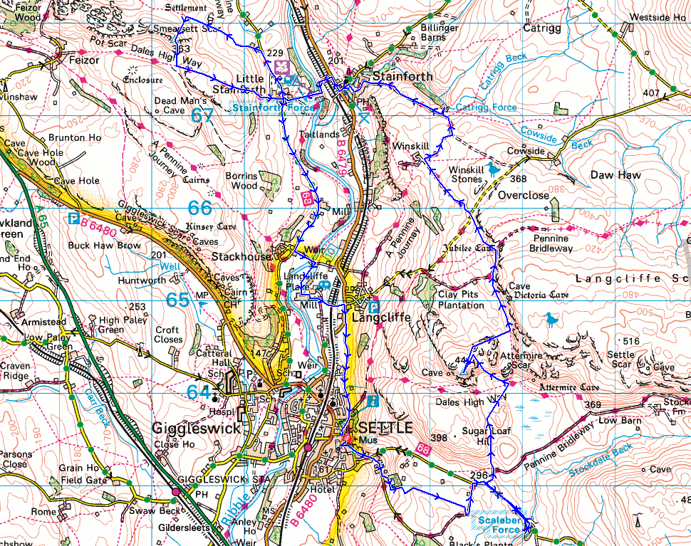
© Crown copyright. All rights reserved. License number PU 100034184.
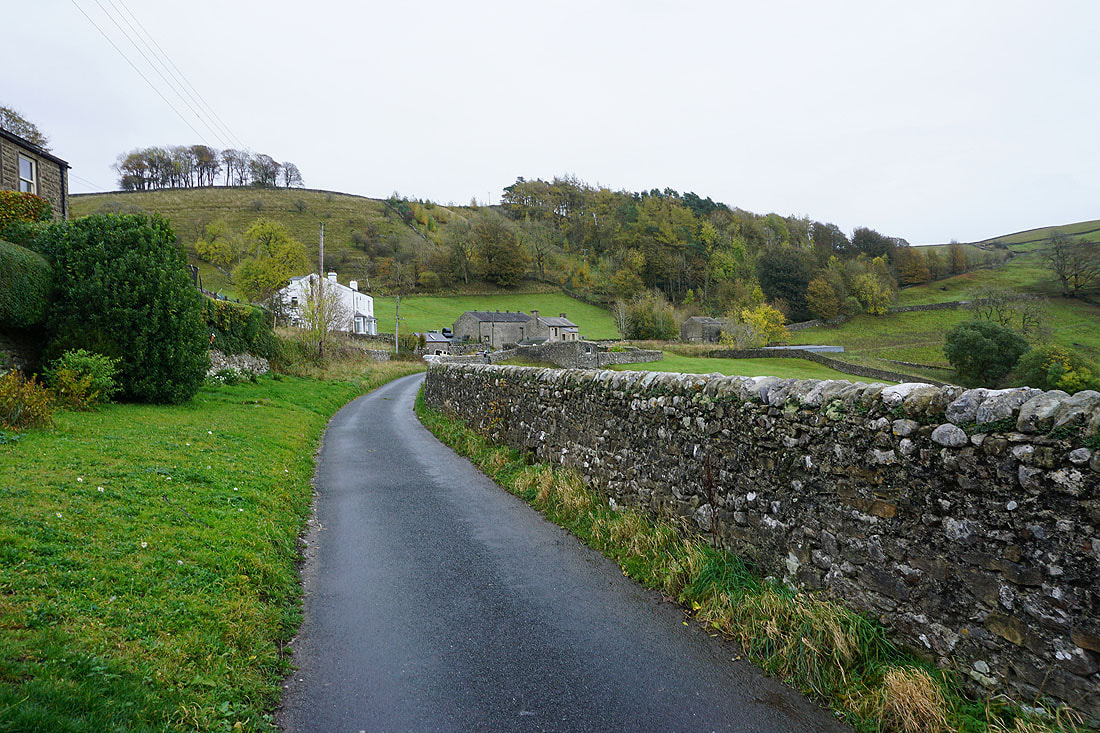
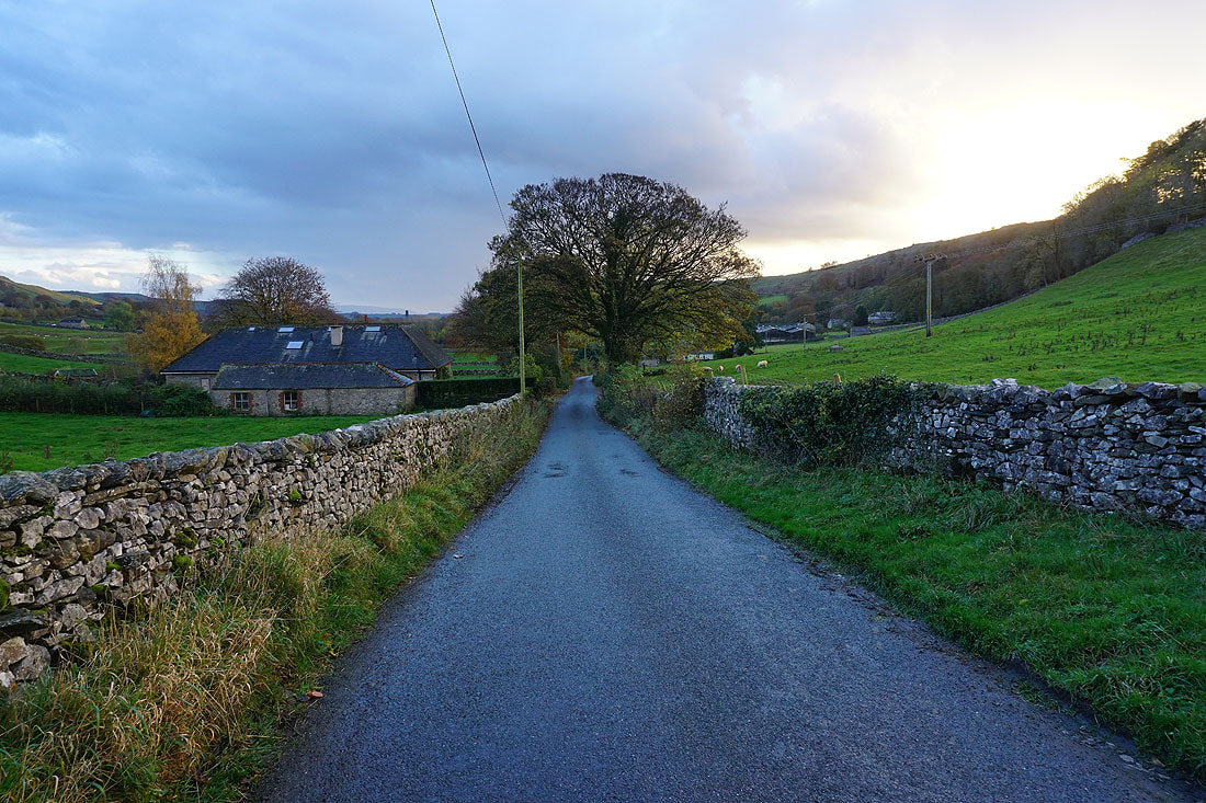
Leaving Settle behind on Mitchell Lane
Looking back to Settle as I leave Mitchell Lane and take a footpath across to Lambert Lane
Heading down to the track of Lambert Lane
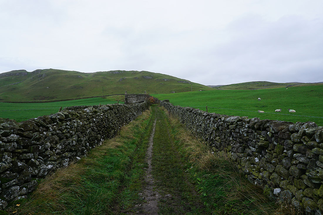
and north along Lambert Lane to High Hill Lane
A walk east along High Hill Lane to reach the woodland around Scaleber Force
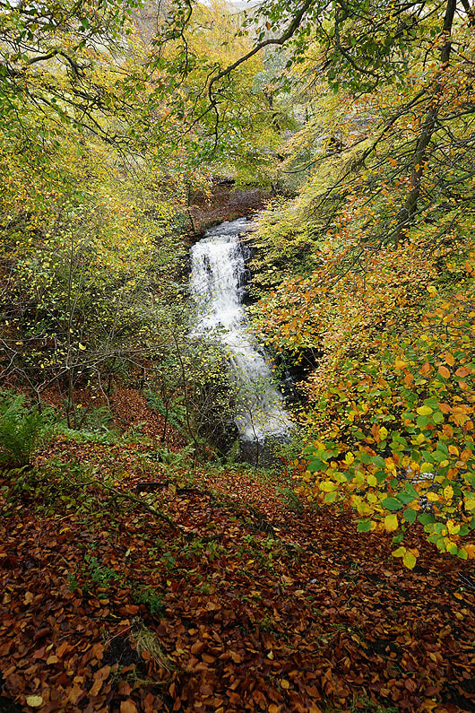
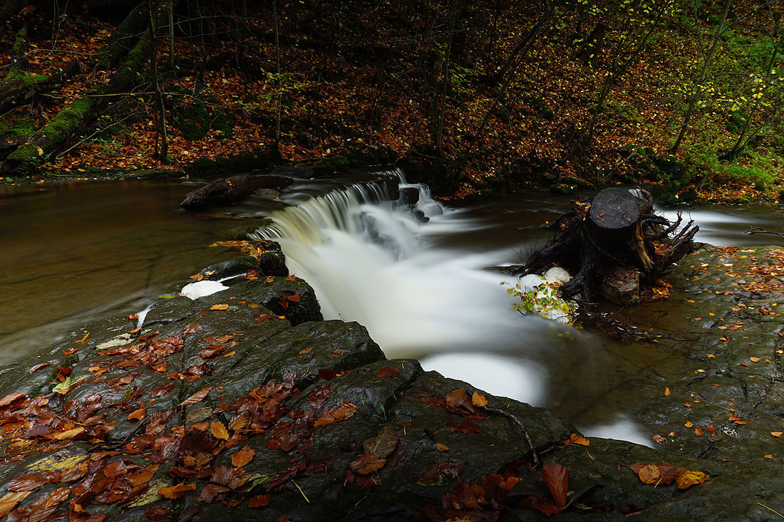
Scaleber Force from above as I make my way down
Scaleber Force. It was decidedly tricky to get up to where I took the last photo from...
High Hill ahead as I make my way back along High Hill Lane to Stockdale Lane
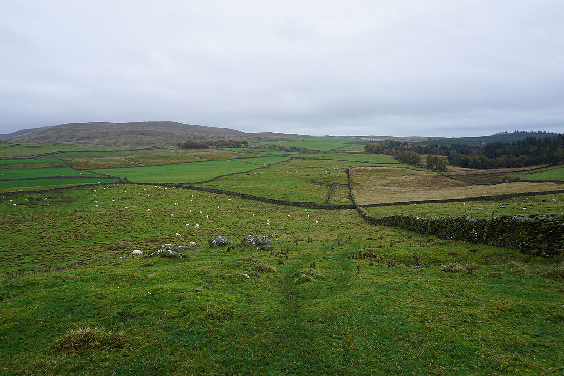
Pendle Hill in the distance as I turn round after leaving Stockdale Lane for the footpath to Warrendale Knotts
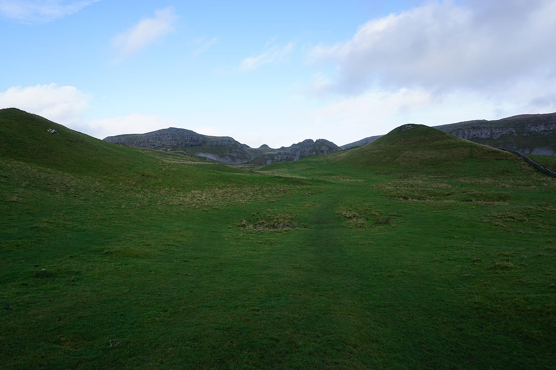
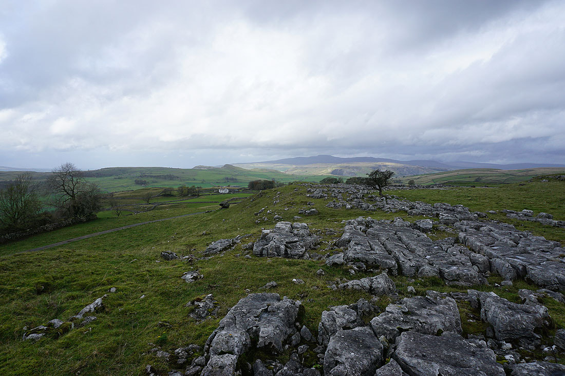
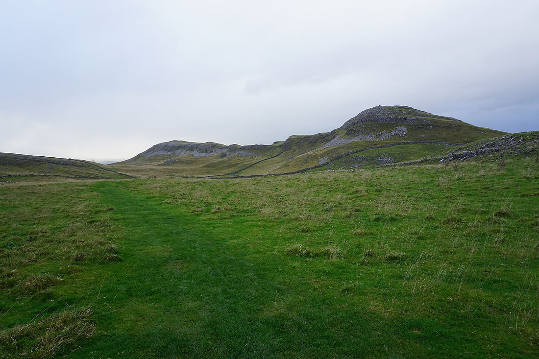
Warrendale Knotts ahead
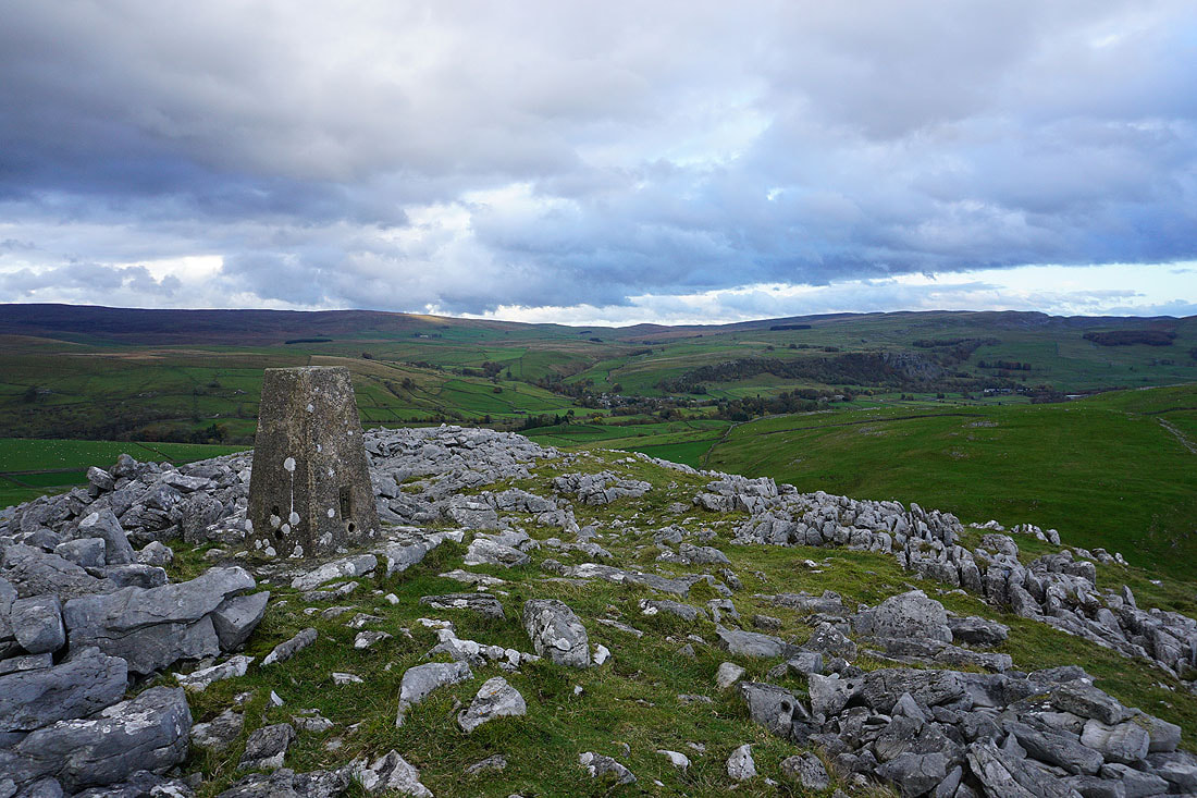
Penyghent and Attermire Scar as I head up to the trig point on Warrendale Knotts
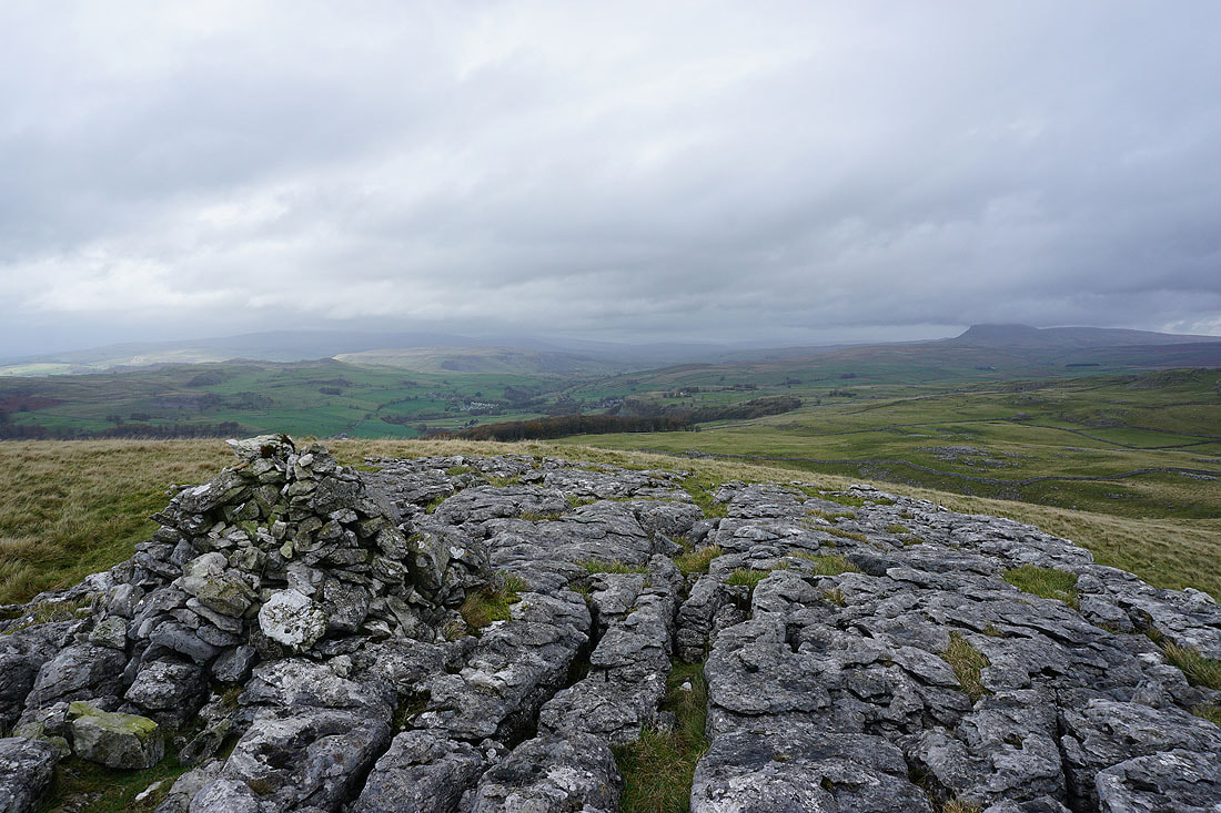
Pendle Hill in the distance to the south from the trig point on Warrendale Knotts
The Forest of Bowland, and I can make out a bit of Settle in the valley below
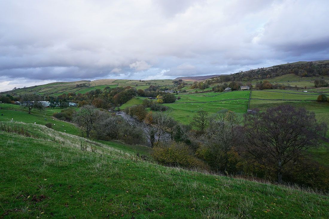
Attermire Scar and Rye Loaf Hill
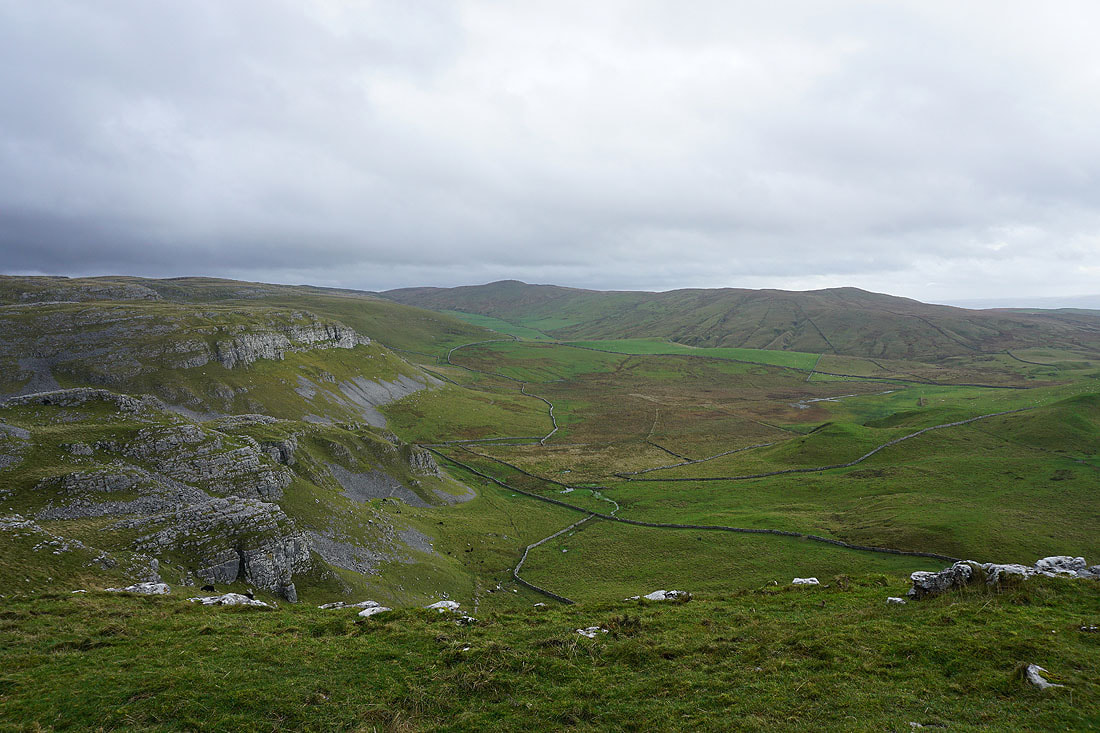
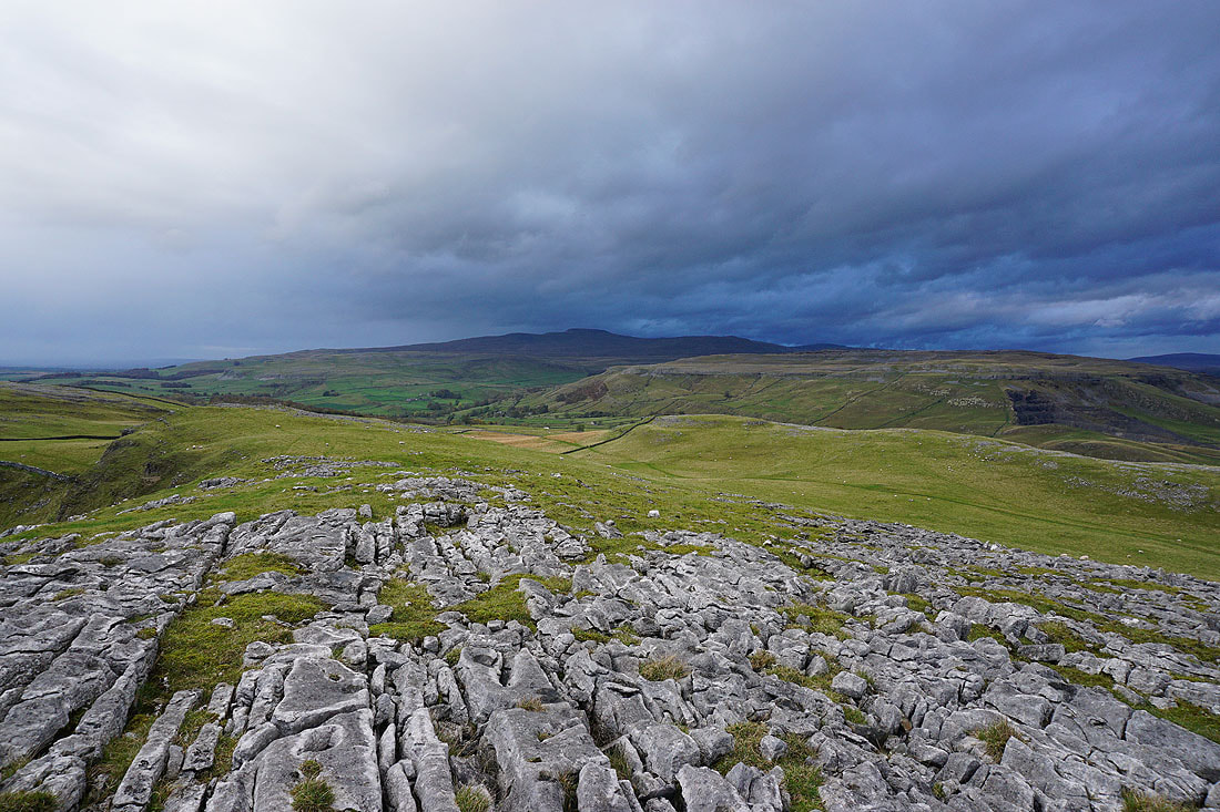
A cloud topped Ingleborough, Ribblesdale and Penyghent from Warrendale Knotts
Penyghent, Fountains Fell and Victoria Cave as I leave Warrendale Knotts
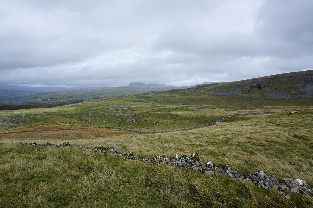
A ruined wall provides a foreground for another photo of the view up Ribblesdale
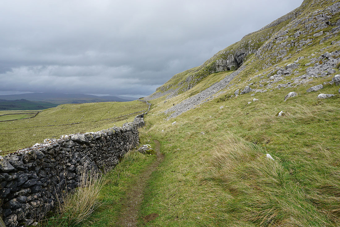
On the path beneath Victoria Cave
Looking back to Warrendale Knotts
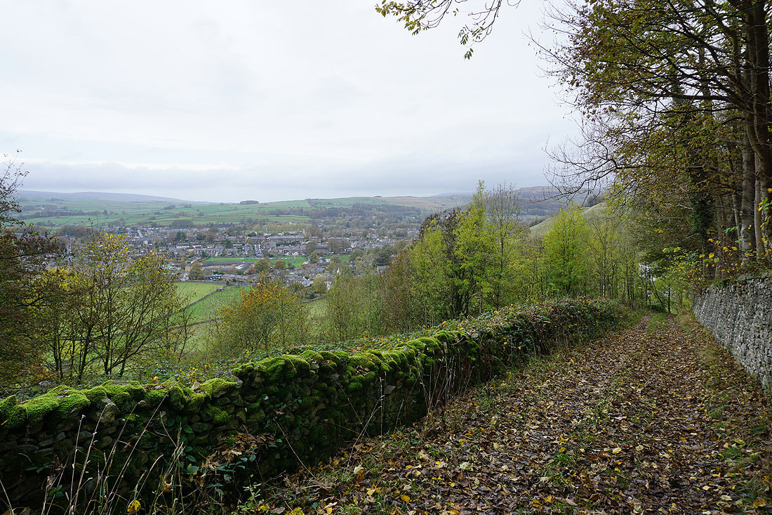
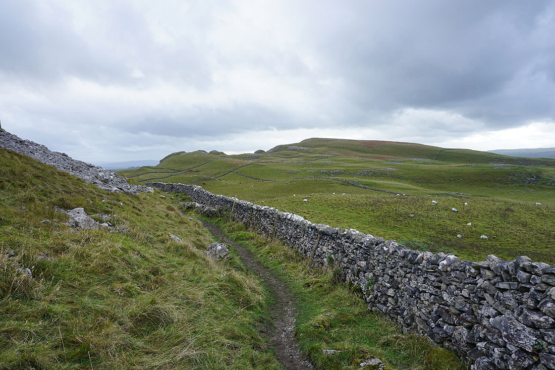
Heading down to the road to Langcliffe..
..from where I have a view across Ribblesdale to Ingleborough
Ingleborough from Winskill Stones
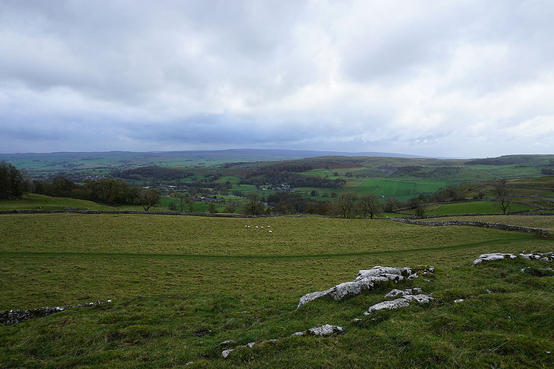
and Langcliffe below in Ribblesdale
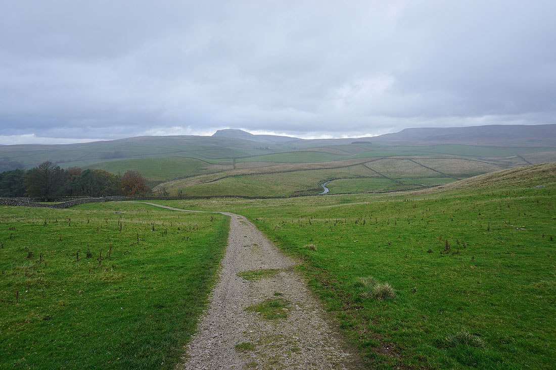
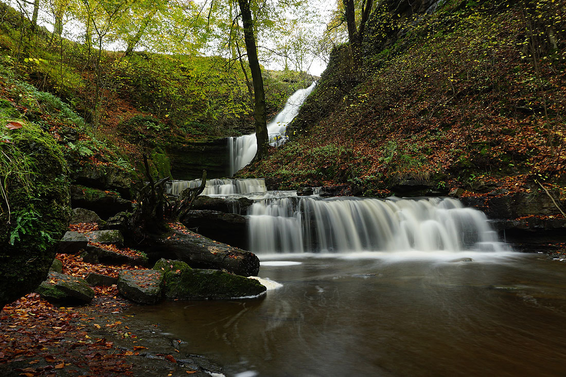
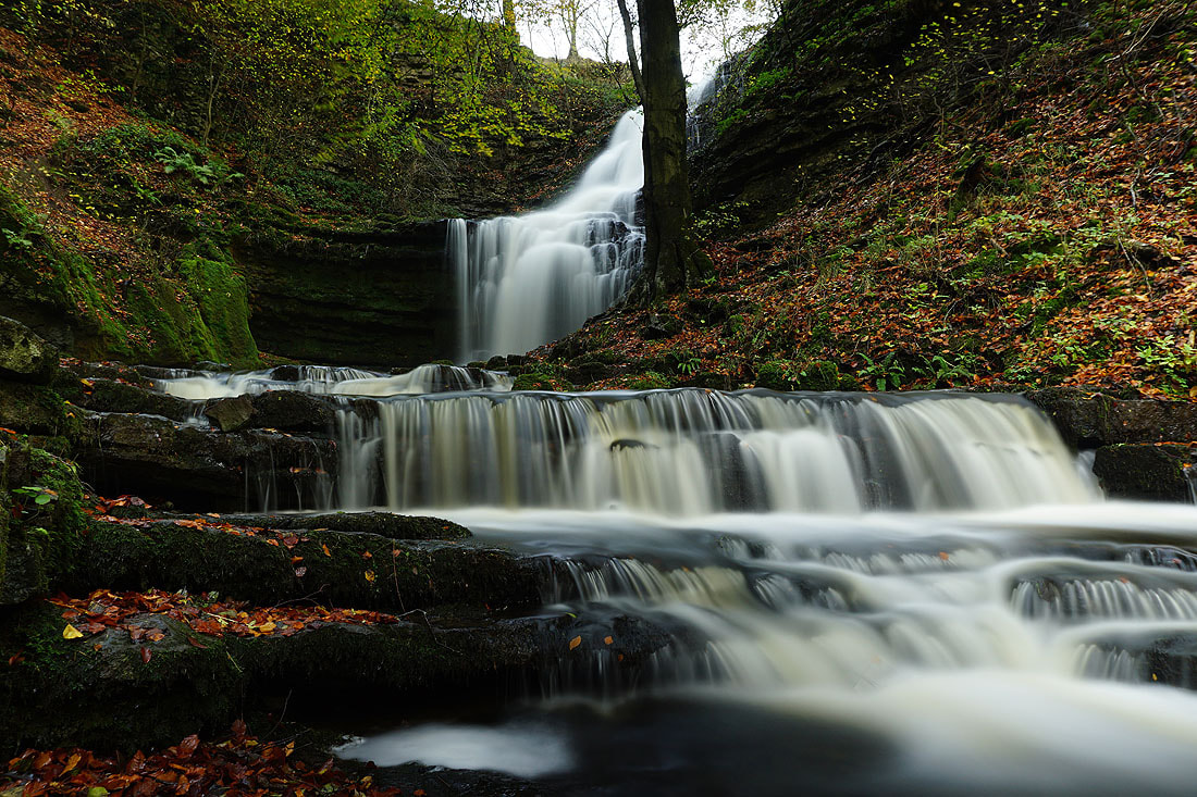
On the Pennine Bridleway to Stainforth, with Catrigg Beck ahead, which has the waterfall of Catrigg Force on it. Rain is starting to fall. It looks like I've timed my visit just right as the woodland will provide some shelter while I stop for lunch.
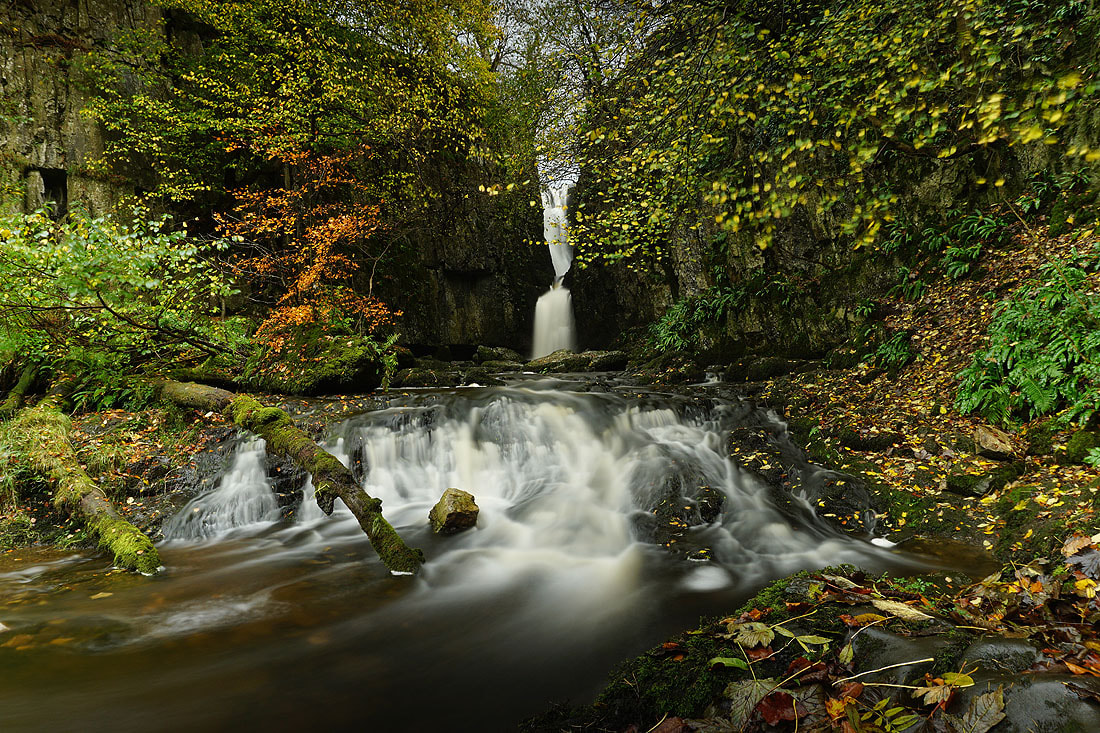
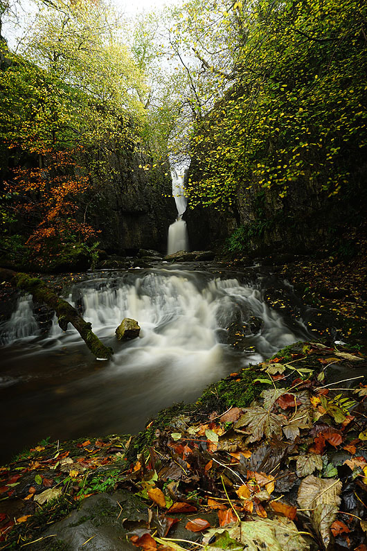
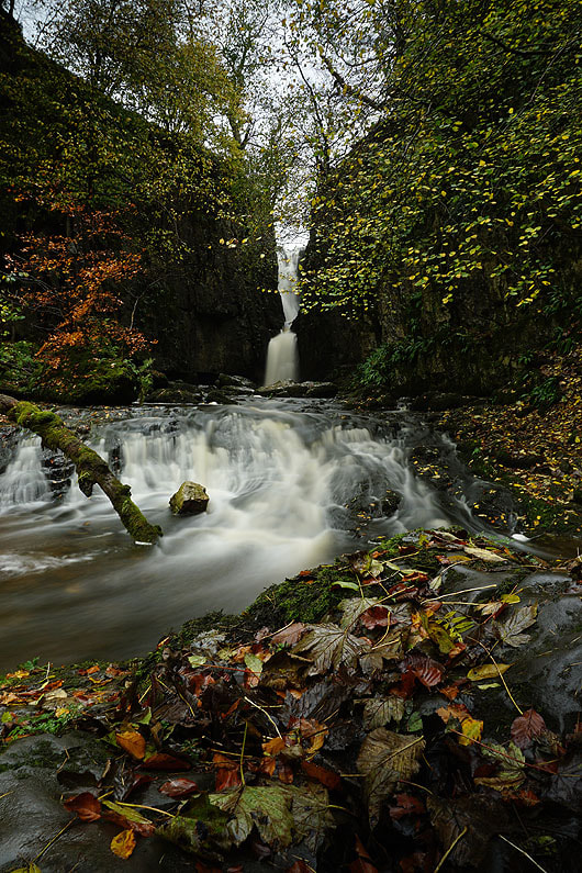
The waterfall of Catrigg Force...
|
|
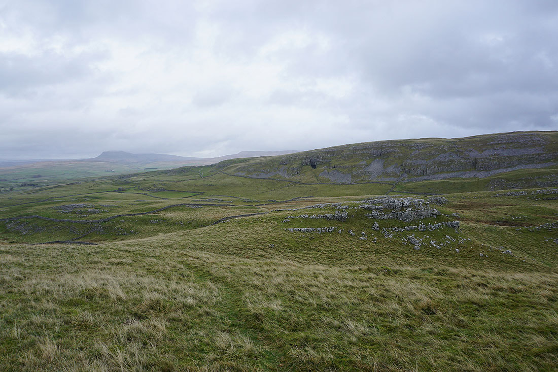
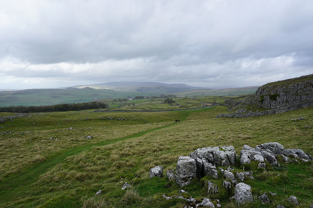
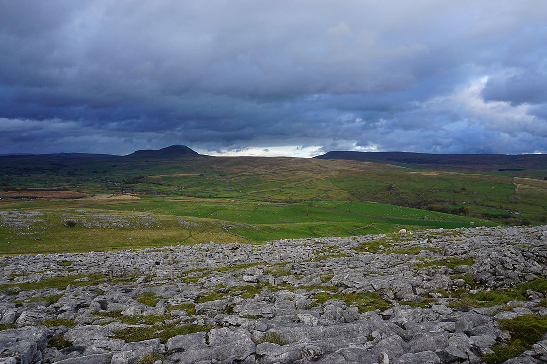
Heading down to Stainforth with the pointed hill of Smearsett Scar on the other side of Ribblesdale...

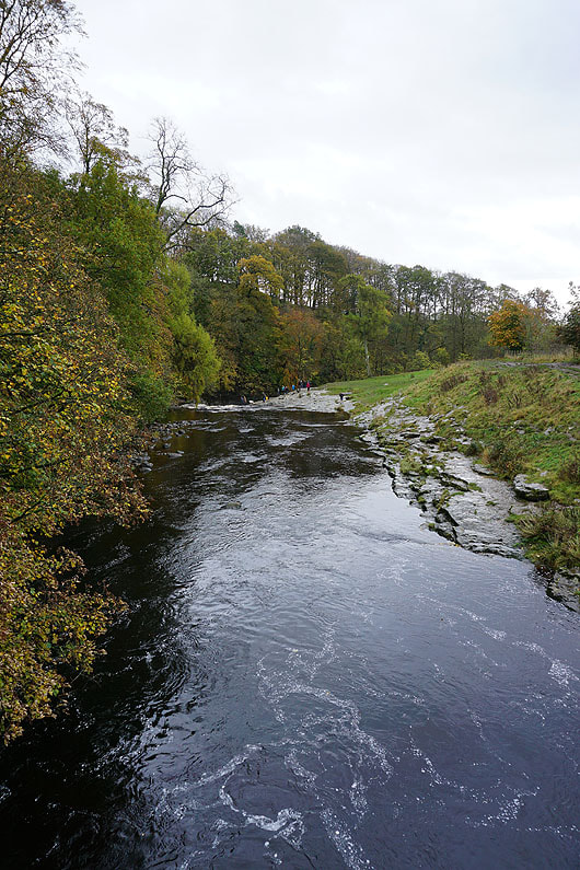
The River Ribble from Stainforth Bridge
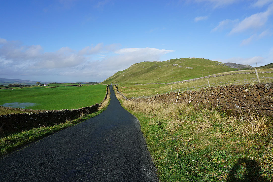
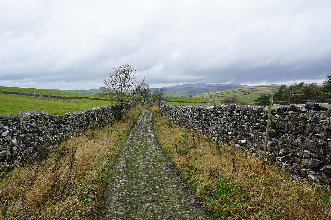
From Little Stainforth I walk north along the road towards Helwith Bridge
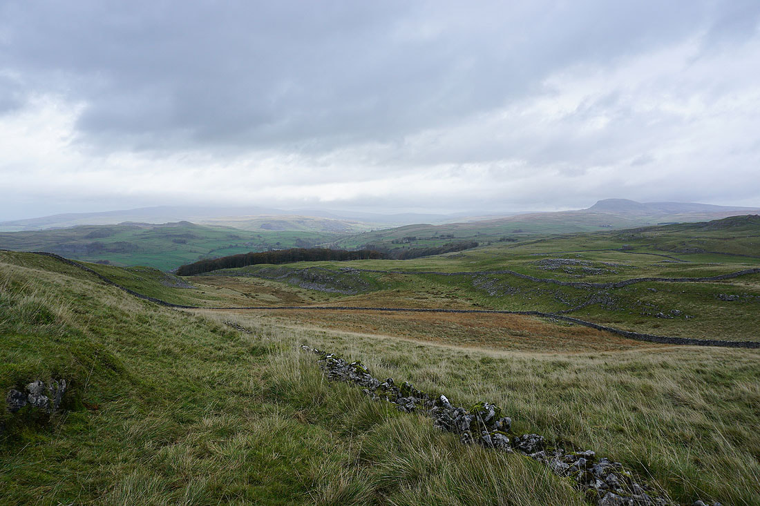
I leave the road and take a footpath west towards Smearsett Scar. Looking across Ribblesdale to Penyghent.
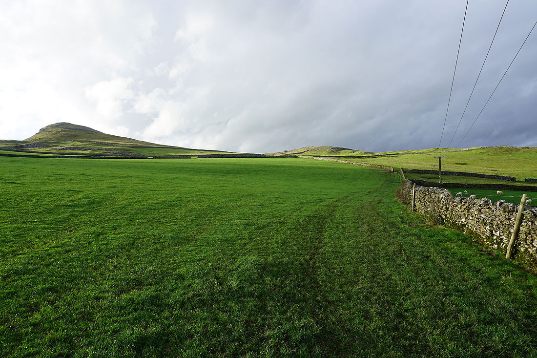
Smearsett Scar ahead on the left
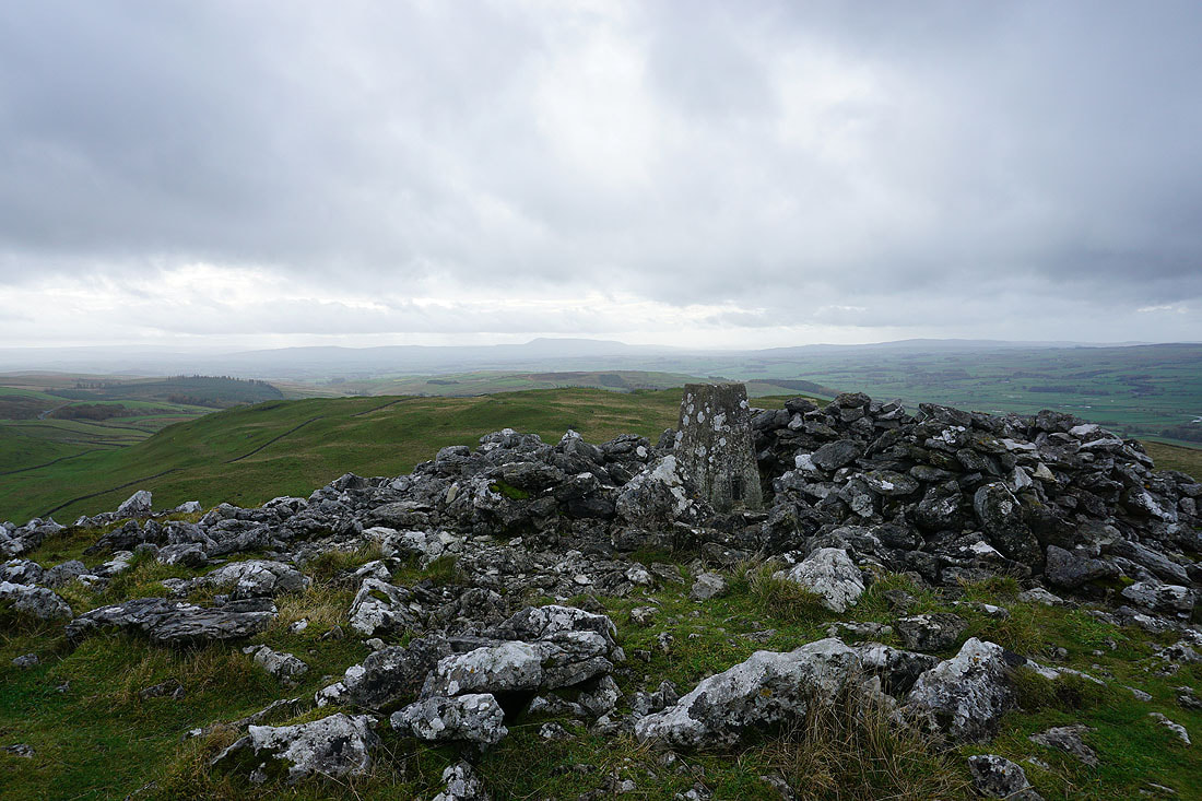
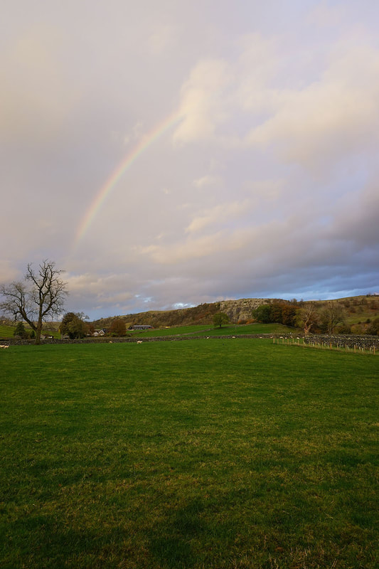
At the trig point on Smearsett Scar. Looking across Ribblesdale to Stainforth.
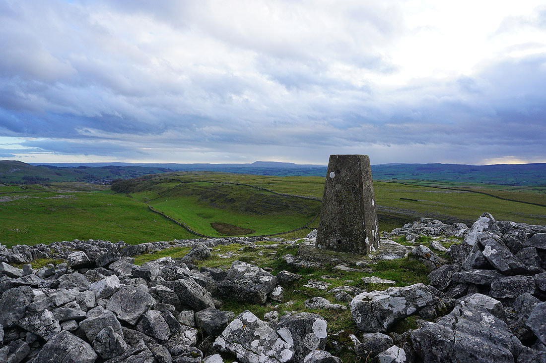
Pendle Hill in the distance to the south
Penyghent and Fountains Fell
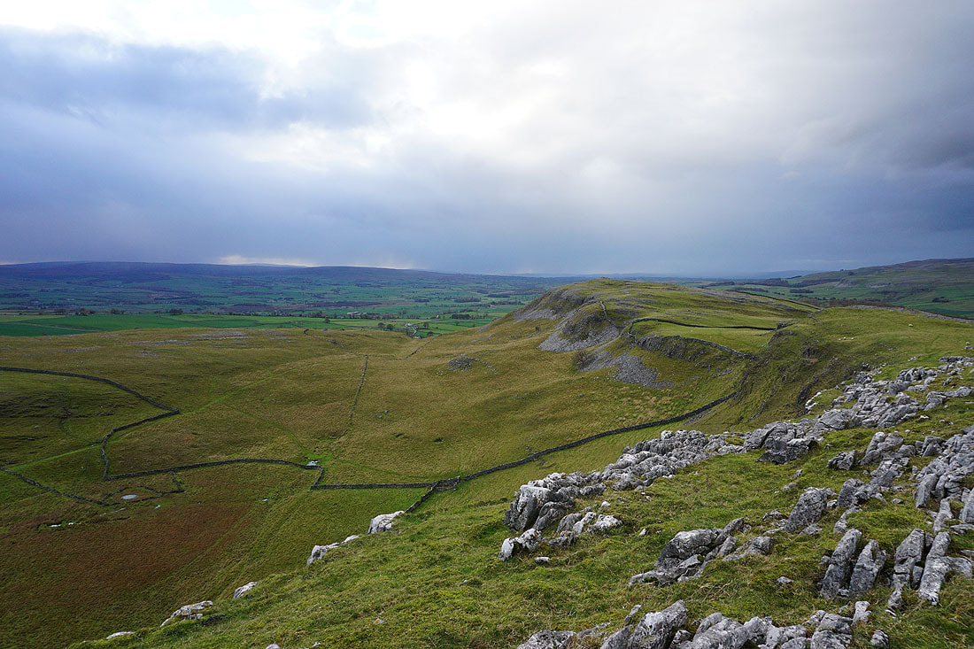
Looking along Smearsett Scar to Pot Scar
and across Crummack Dale to Ingleborough
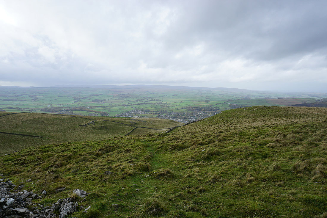
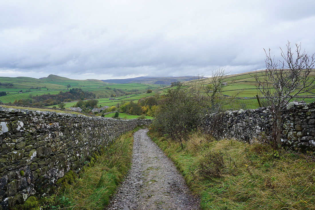
Looking back to Pot Scar and Smearsett Scar as I take the footpath to Little Stainforth
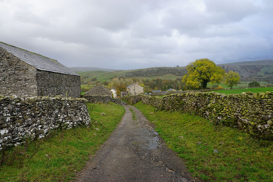
Back in Little Stainforth
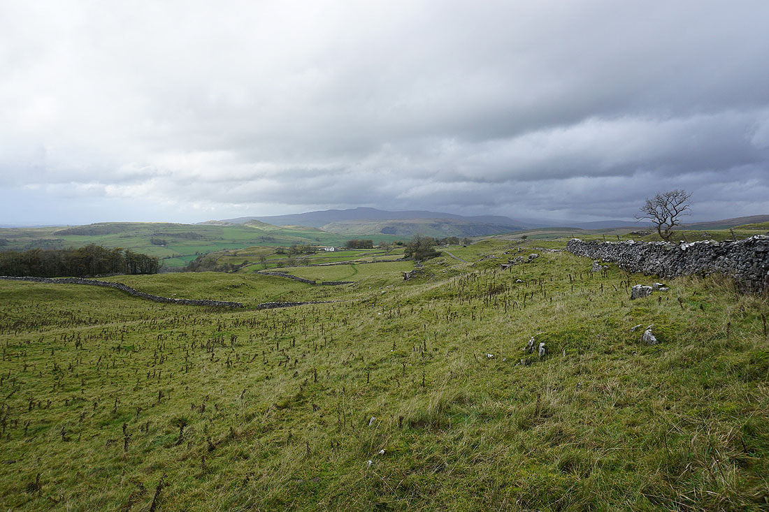
From Little Stainforth I walk south along Stainforth Lane to Stackhouse
The River Ribble below to my left
In the hamlet of Stackhouse
A brief shower passes through as I take the bridleway down to the footbridge over the River Ribble
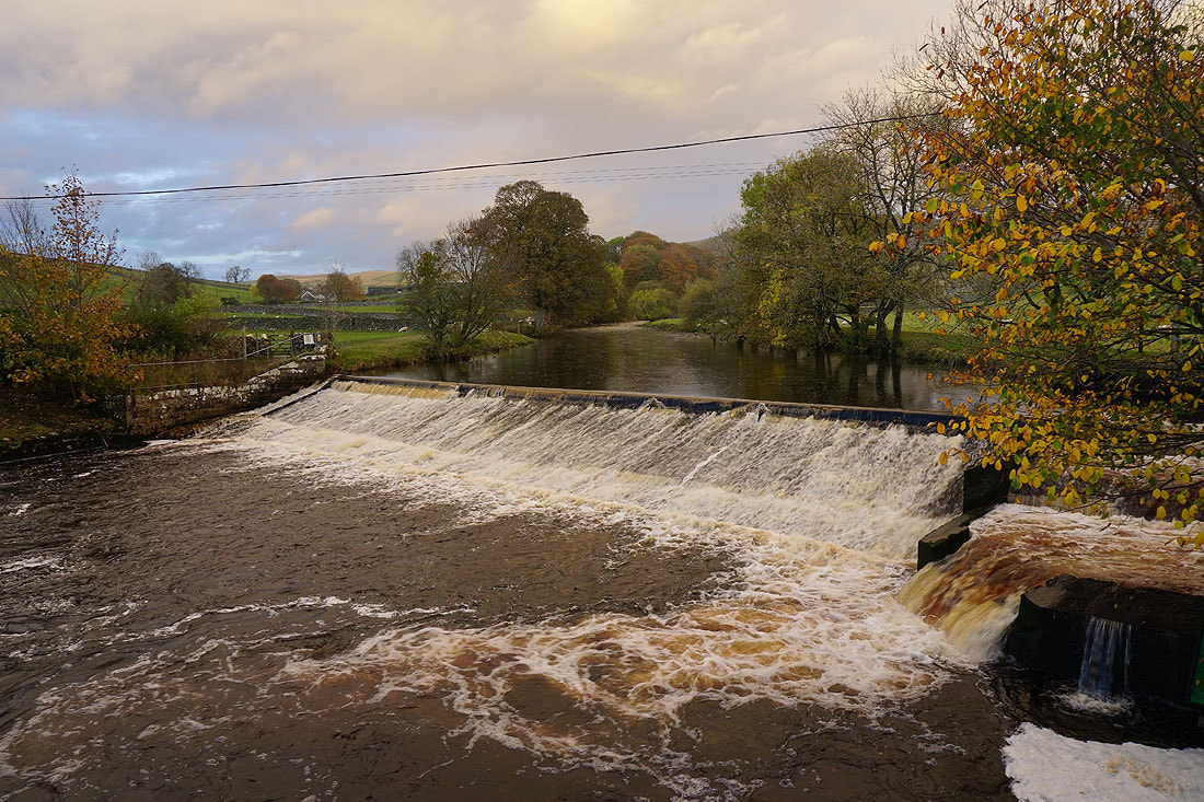
Crossing the Ribble at the weir below Langcliffe
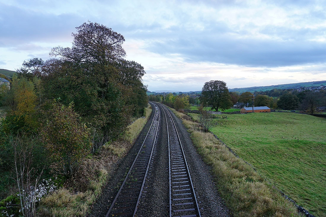
and the Settle to Carlisle line as I head up to Langcliffe
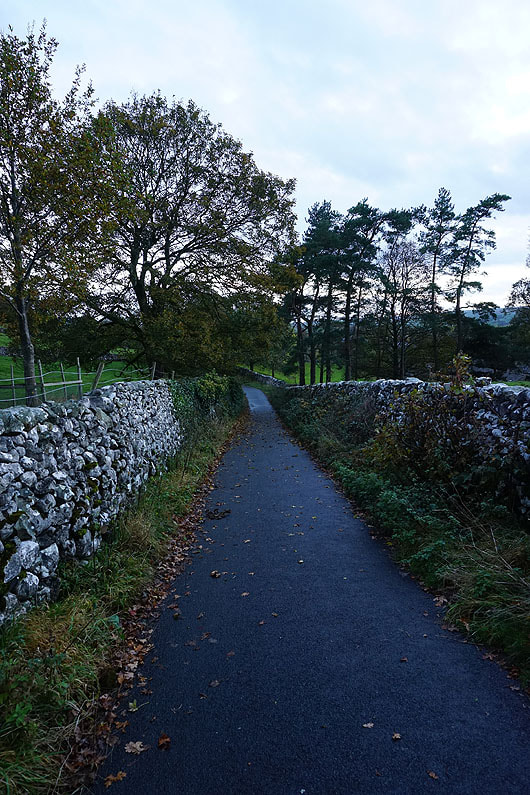
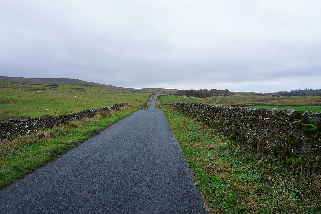
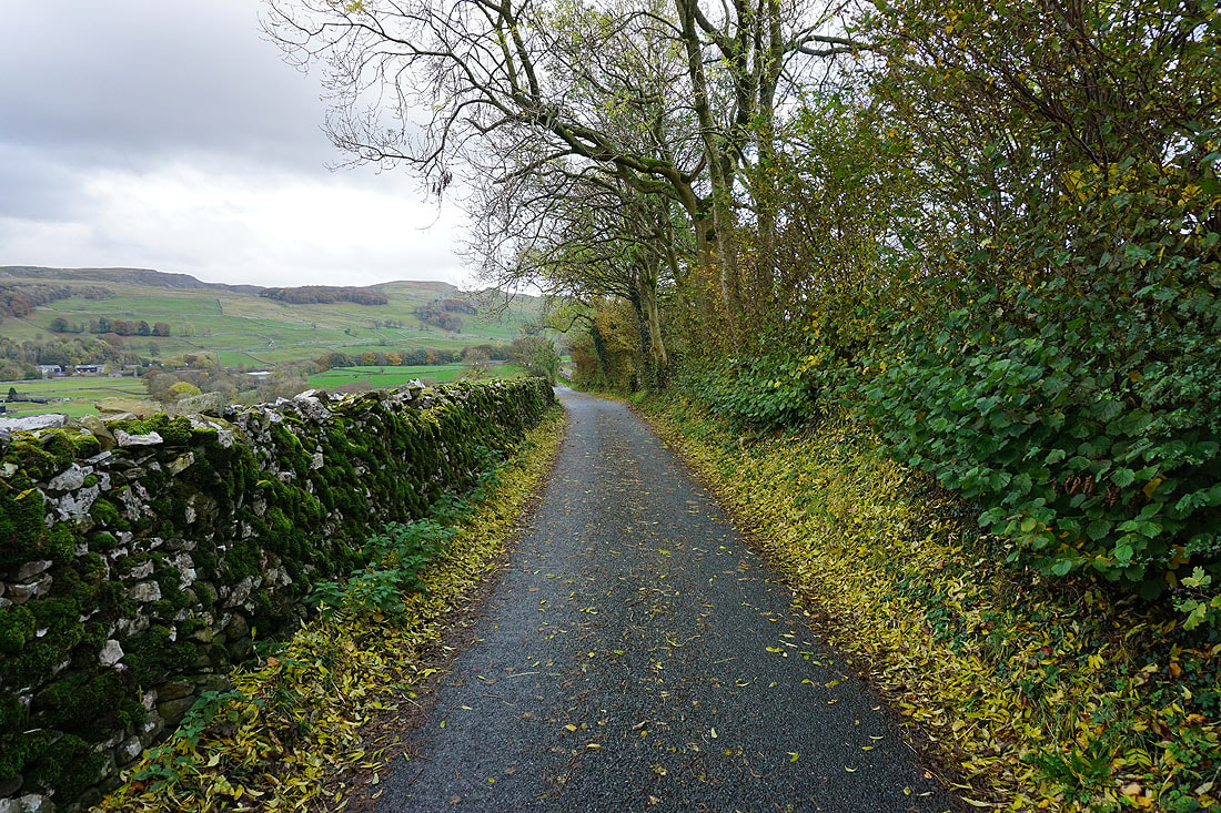
From Langcliffe I return to Settle along a quiet back road