31st December 2009 - Pendle Hill
Walk Details
Distance walked: 8.8 miles
Total ascent: 1619 ft
OS map used: OL41 - Forest of Bowland & Ribblesdale
Time taken: 5 hrs
Route description: Worston-Little Mearley Hall-Lane Side-Mearley Hall-Mearley Moor-Pendle Moor-Pendle Hill-Downham Moor-Hookcliffe-Barkerfield-Worston
I set off from Worston and after following the minor road southeast out of the village for a short distance I took the bridleway that runs southwestward through the fields below Pendle Hill. When I reached Mearley Hall I then started to make my way uphill across Mearley Moor and Pendle Moor to eventually arrive at the summit of Pendle Hill. My way down was the footpath across Downham Moor that reaches Pendle Road. I then followed footpaths across the fields and along a minor road to get back to Worston.
Route map
© Crown copyright. All rights reserved. License number PU 100034184.
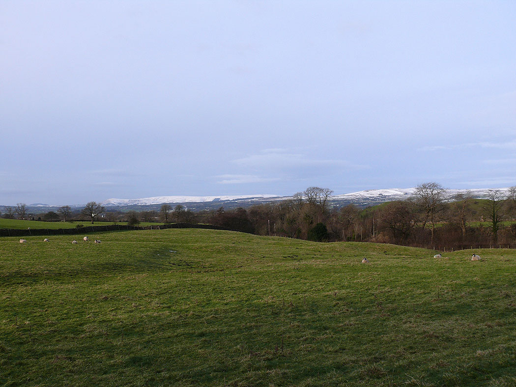
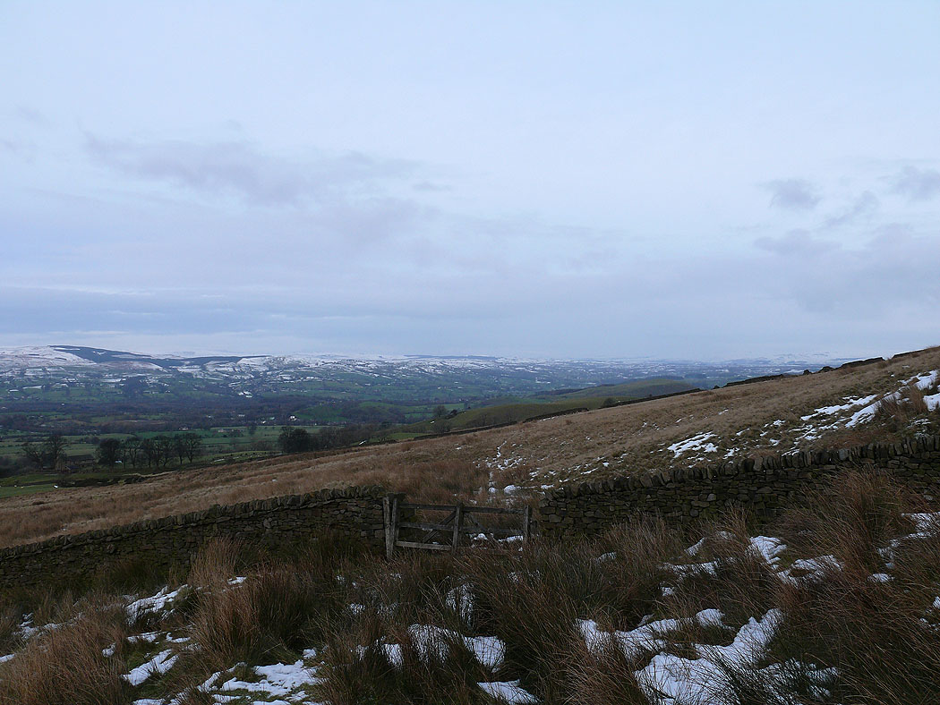
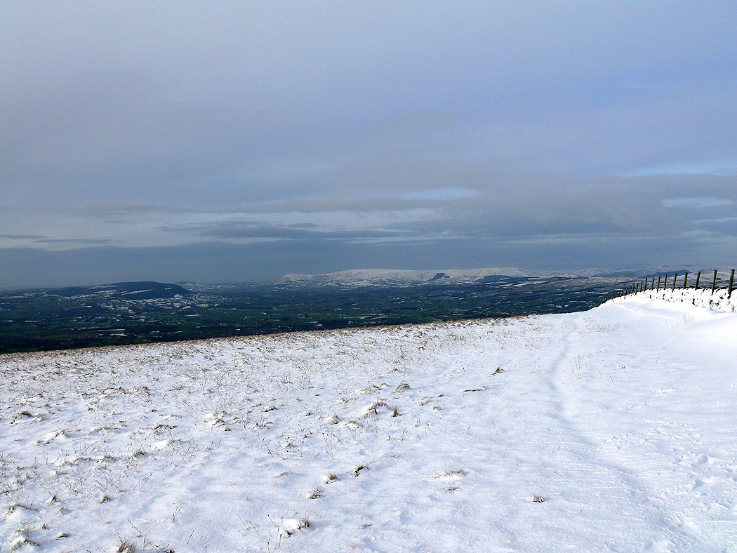
The view from the footpath that runs under Pendle Hill. Snow on the Forest of Bowland on the other side of the Ribble valley.
Easington Fell in the distance
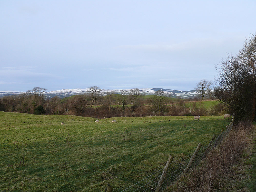
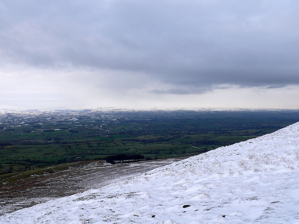
The view across the Ribble valley as I make my way up Mearley Moor. Longridge Fell on the left with Fair Snape Fell and Totridge in the centre of the picture.
and the view looking north up the Ribble valley
The view to the south across the shoulder of Pendleton Moor
and the view to the southwest
Up in the snow on Pendle Moor
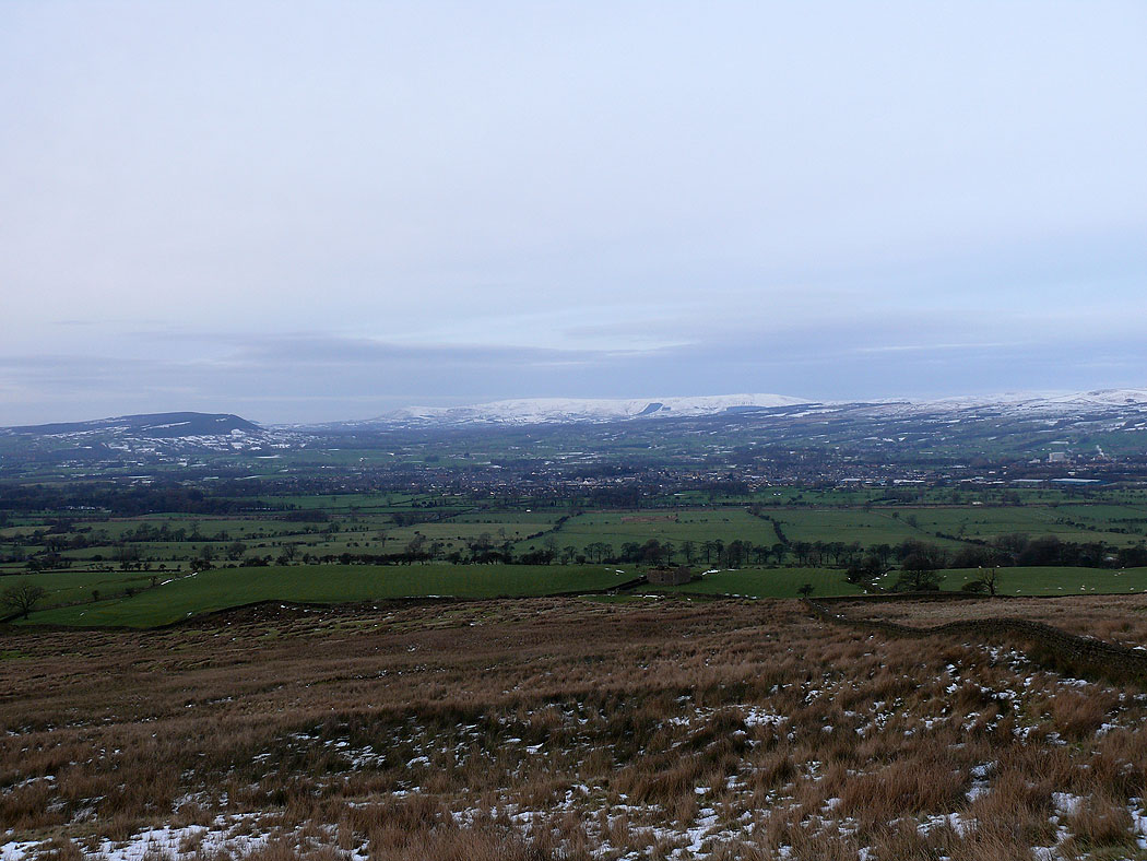
Fair Snape Fell and Totridge on the other side of the Ribble valley
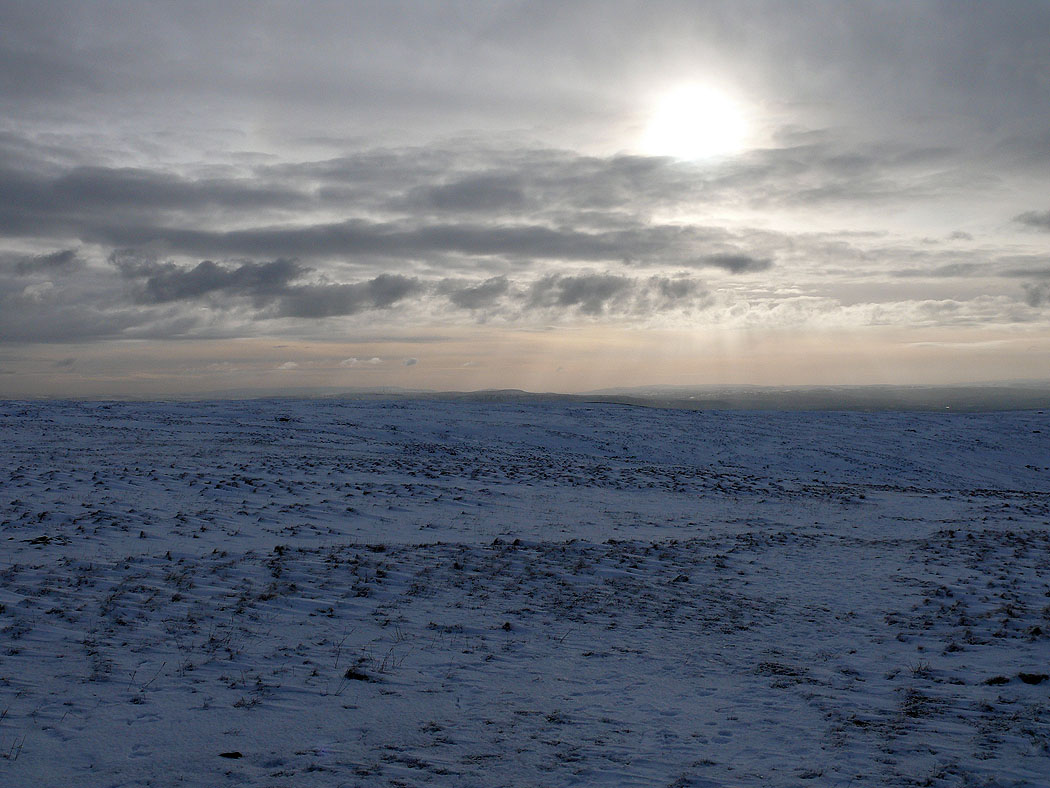
It looks a bit bleak
At the Scout Cairn. A look back to Mearley Moor.
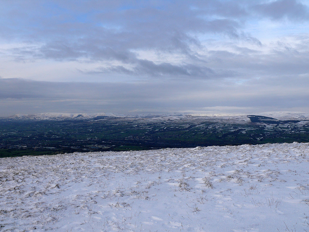
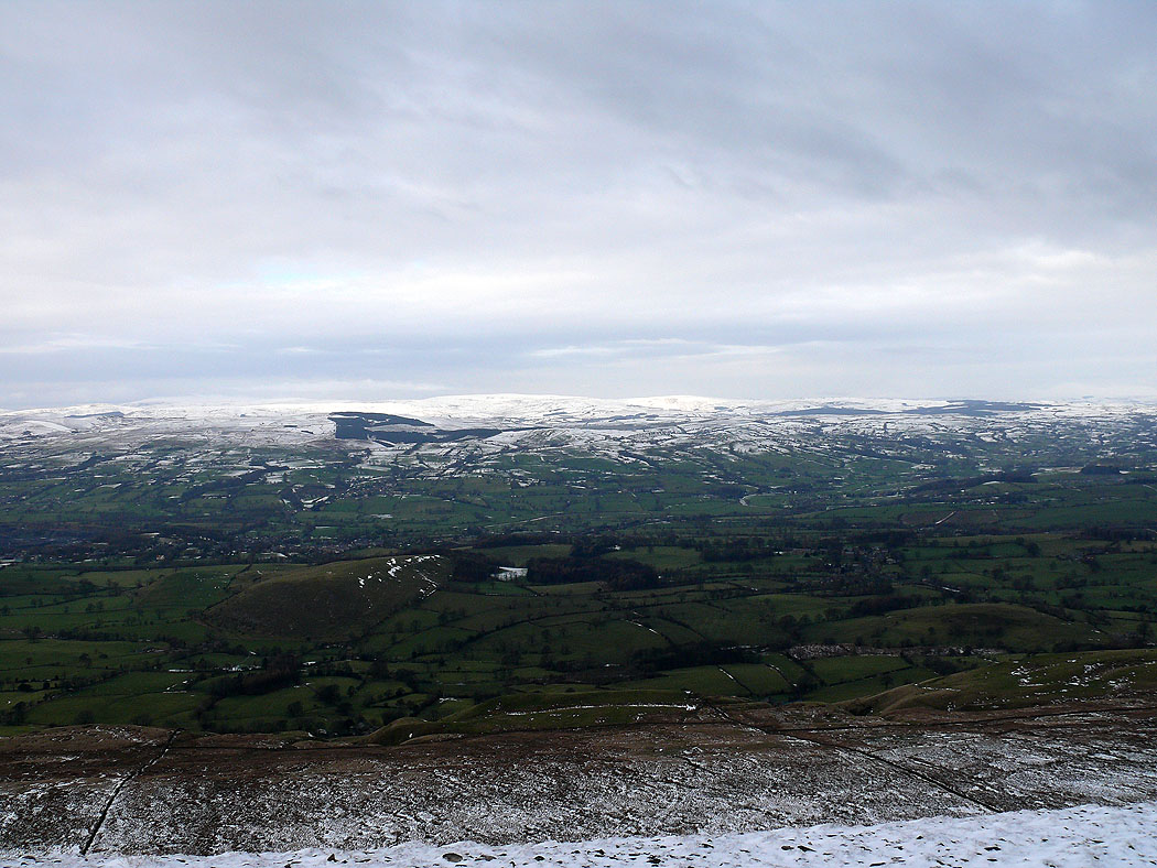
Across the Ribble valley to the Forest of Bowland
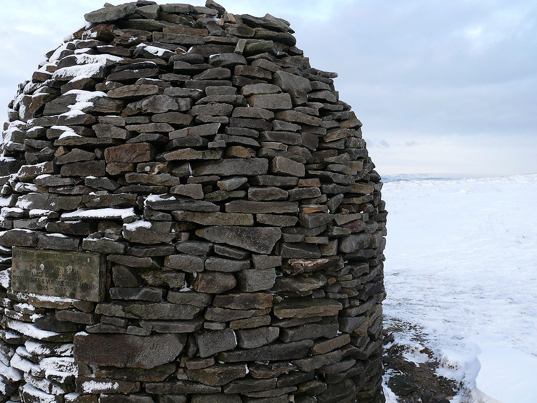
The Scout Cairn
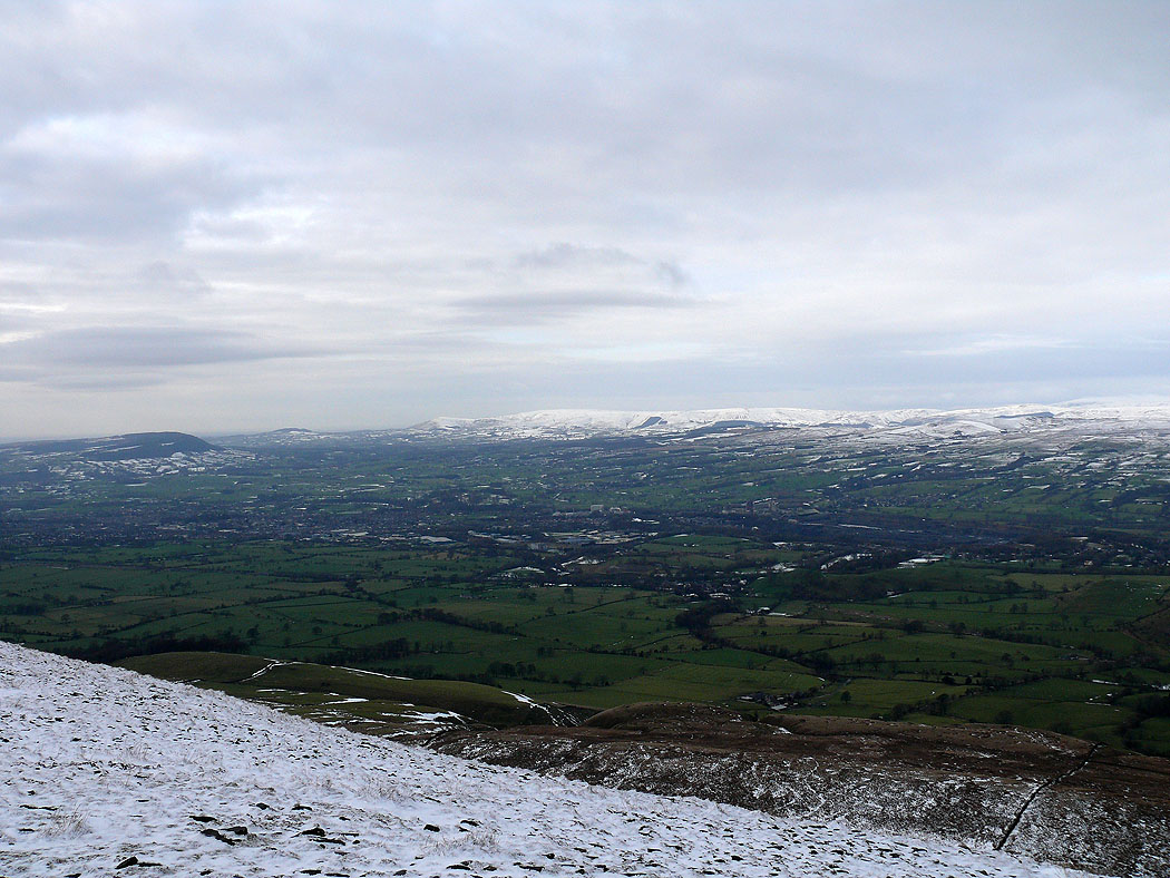
Not far to go now. The view across the Ribble valley...
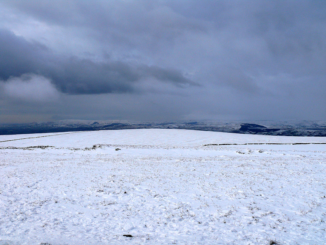
On the summit of a snowy Pendle Hill
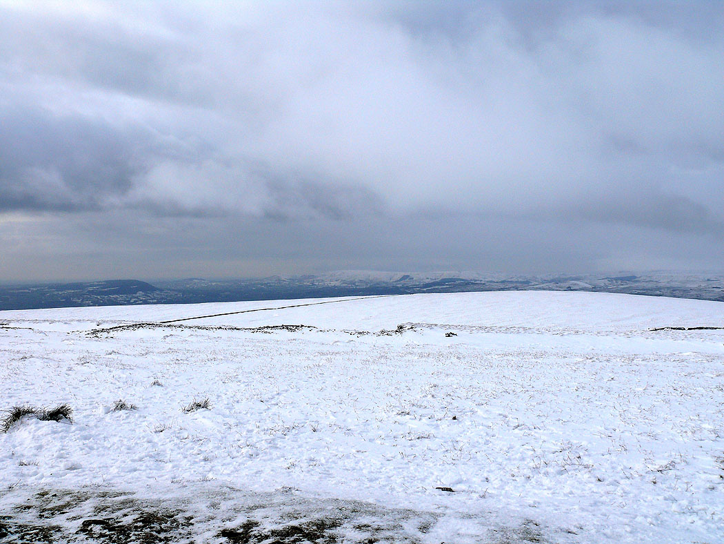
The view across to the South Pennines
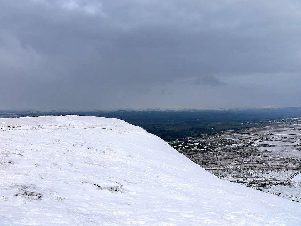
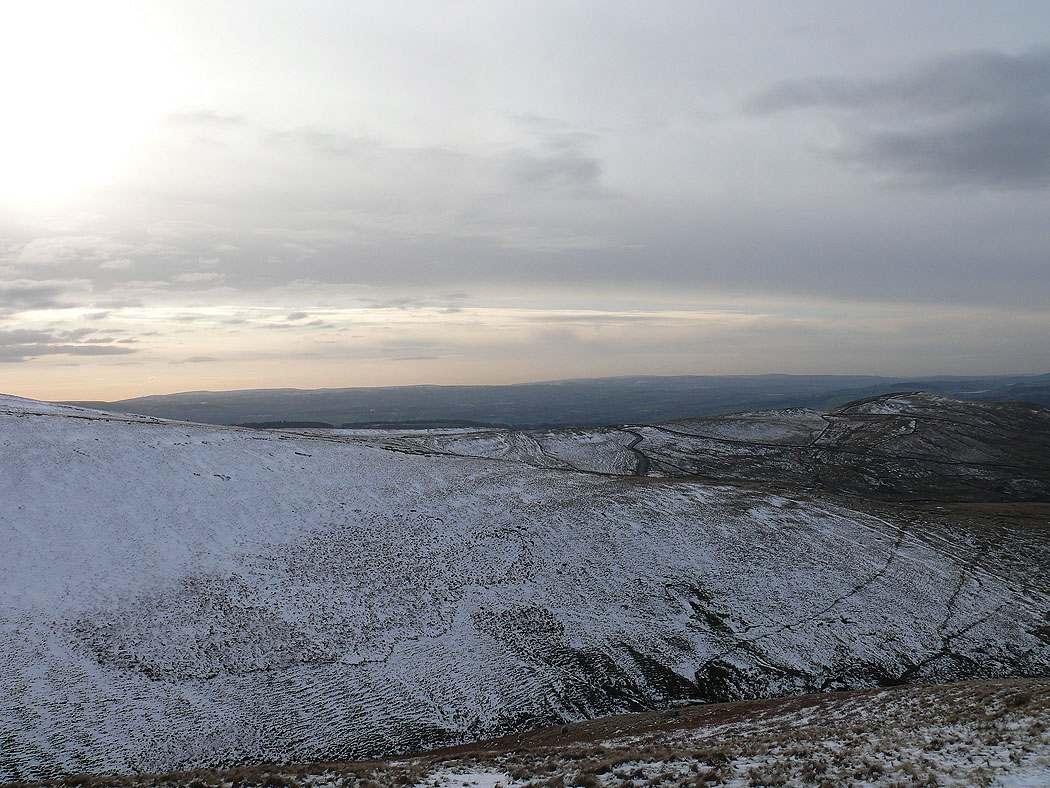
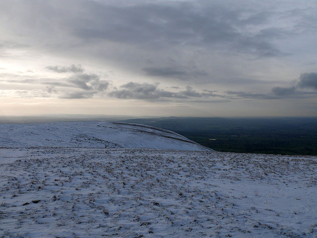
Plenty of snow on the east face of the hill
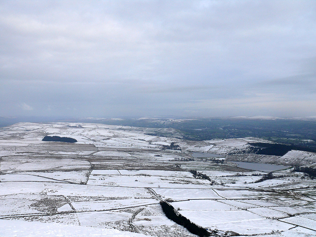
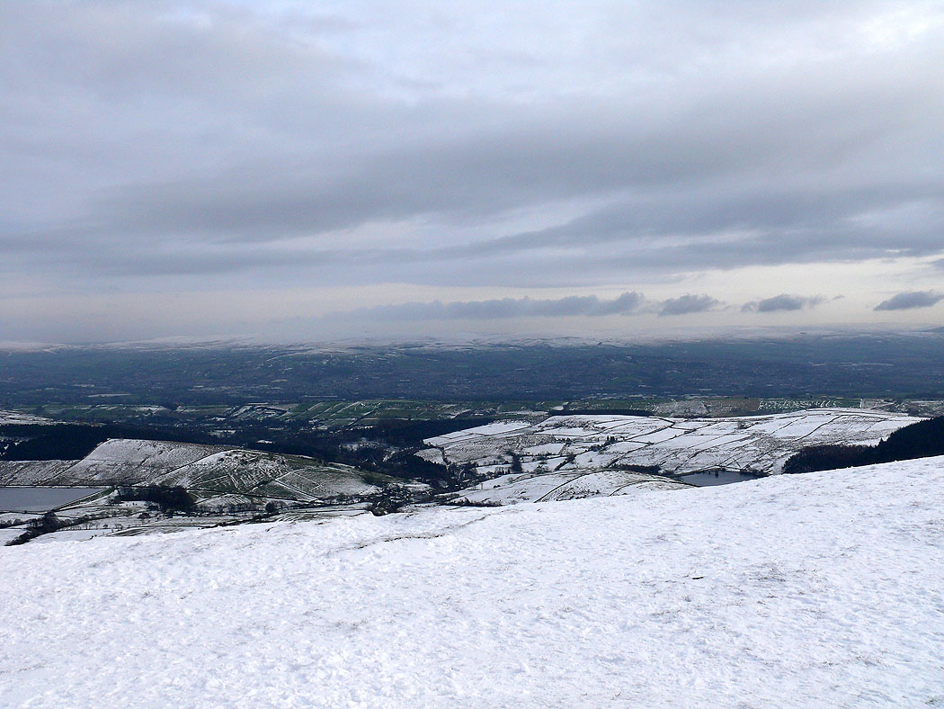
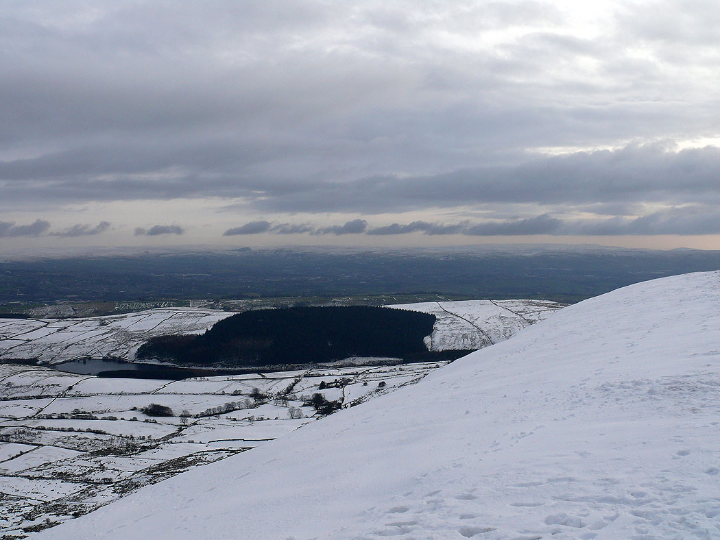
Twiston Moor. Upper and Lower Black Moss Reservoirs are on the right.
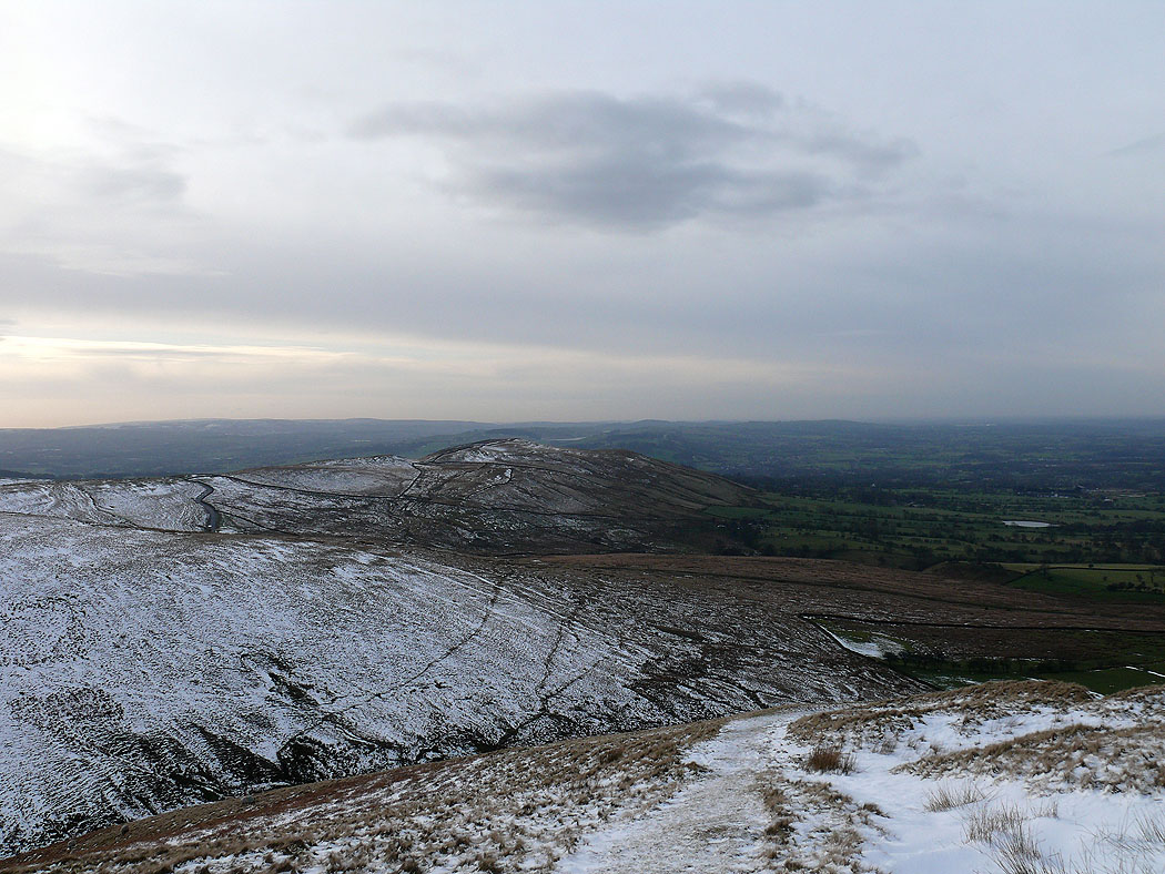
The West Pennine Moors in the distance. Lower Ogden Reservoir below.
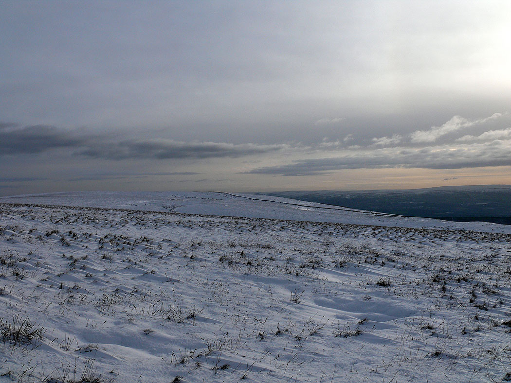
One last shot across the summit towards the Forest of Bowland before I head down