31st December 2018 - Hameldon Hill
Walk Details
Distance walked: 7.2 miles
Total ascent: 1028 ft
OS map used: OL21- South Pennines
Time taken: 3.5 hrs
Route description: Limey Lane-Clowbridge Reservoir-Rossendale Way-Goodshaw Chapel-Goodshaw Lane-Rossendale Way-A682-Commercial Street-Loveclough Place-Rossendale Way-Goodshaw Hill-Hameldon Hill-Nutshaw Hill-Rossendale Way-A682-Limey Lane
Not the most inspiring of walks to finish the year with but I certainly can't have any complaints about 2018 as a whole. Two really great snowy winter walks during January and February and then the summer that went on and on. I stayed local again just as I did a couple of days ago and did a walk just a few miles from home. Despite its closeness the whole of the route was new to me and I'd never been to the top of Hameldon Hill. Another grey and overcast day, but it was mild with good visibility.
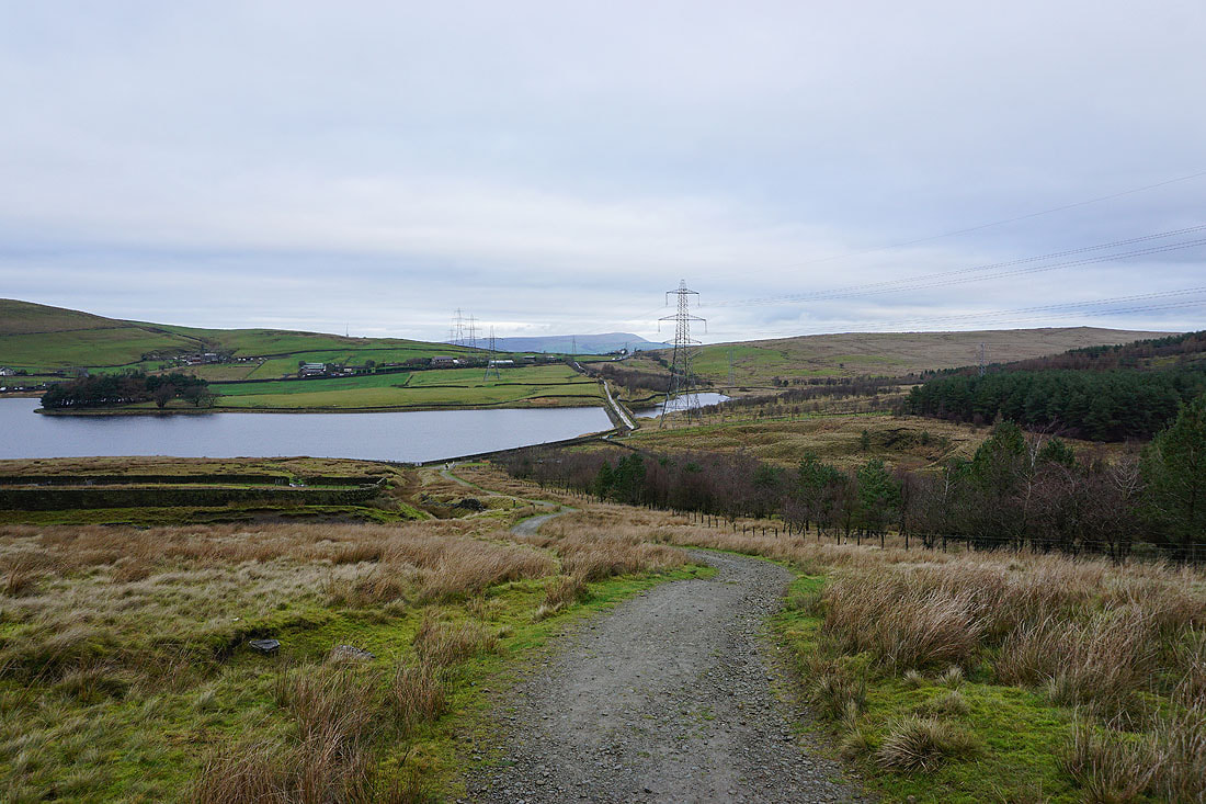
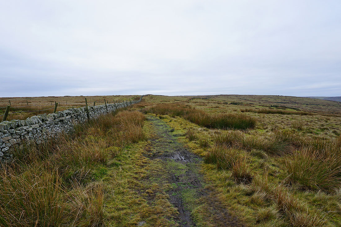
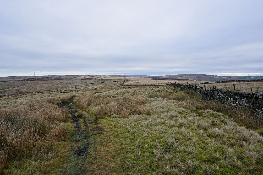
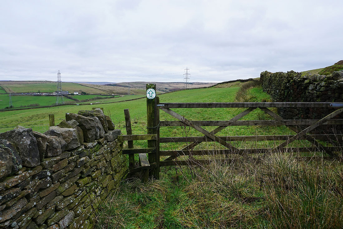
After parking on Limey Lane (an unsurfaced road off the A682 near Clowbridge Reservoir) I walked down the lane and onto the bridleway at its end. I followed this across the end of Clowbridge Reservoir and up Stony Hill to a crossroads of bridleways. Here I turned right and took the trail of the Rossendale Way west across Meadow Head and down to Goodshaw Chapel. I continued to follow the Rossendale Way down Goodshaw Lane, across the A682, along Commercial Street and Loveclough Place and then uphill across fields onto Goodshaw Hill. When the trail reached the top of the moorland I left it and followed a path north towards Hameldon Hill where I picked up a track used by the trail of the Burnley Way to reach it. I left the track to pay a visit to the trig point. Once back on the track which soon became the access road for the communication masts and radar station I took a footpath northeast across the shoulder of Nutshaw Hill and down to Helm Clough. Soon after leaving access land I followed a footpath east across fields to the Rossendale Way and out to the A682. After a short walk south along the pavement I was back at Limey Lane.
Total ascent: 1028 ft
OS map used: OL21- South Pennines
Time taken: 3.5 hrs
Route description: Limey Lane-Clowbridge Reservoir-Rossendale Way-Goodshaw Chapel-Goodshaw Lane-Rossendale Way-A682-Commercial Street-Loveclough Place-Rossendale Way-Goodshaw Hill-Hameldon Hill-Nutshaw Hill-Rossendale Way-A682-Limey Lane
Not the most inspiring of walks to finish the year with but I certainly can't have any complaints about 2018 as a whole. Two really great snowy winter walks during January and February and then the summer that went on and on. I stayed local again just as I did a couple of days ago and did a walk just a few miles from home. Despite its closeness the whole of the route was new to me and I'd never been to the top of Hameldon Hill. Another grey and overcast day, but it was mild with good visibility.
After parking on Limey Lane (an unsurfaced road off the A682 near Clowbridge Reservoir) I walked down the lane and onto the bridleway at its end. I followed this across the end of Clowbridge Reservoir and up Stony Hill to a crossroads of bridleways. Here I turned right and took the trail of the Rossendale Way west across Meadow Head and down to Goodshaw Chapel. I continued to follow the Rossendale Way down Goodshaw Lane, across the A682, along Commercial Street and Loveclough Place and then uphill across fields onto Goodshaw Hill. When the trail reached the top of the moorland I left it and followed a path north towards Hameldon Hill where I picked up a track used by the trail of the Burnley Way to reach it. I left the track to pay a visit to the trig point. Once back on the track which soon became the access road for the communication masts and radar station I took a footpath northeast across the shoulder of Nutshaw Hill and down to Helm Clough. Soon after leaving access land I followed a footpath east across fields to the Rossendale Way and out to the A682. After a short walk south along the pavement I was back at Limey Lane.
Route map
© Crown copyright. All rights reserved. License number PU 100034184.
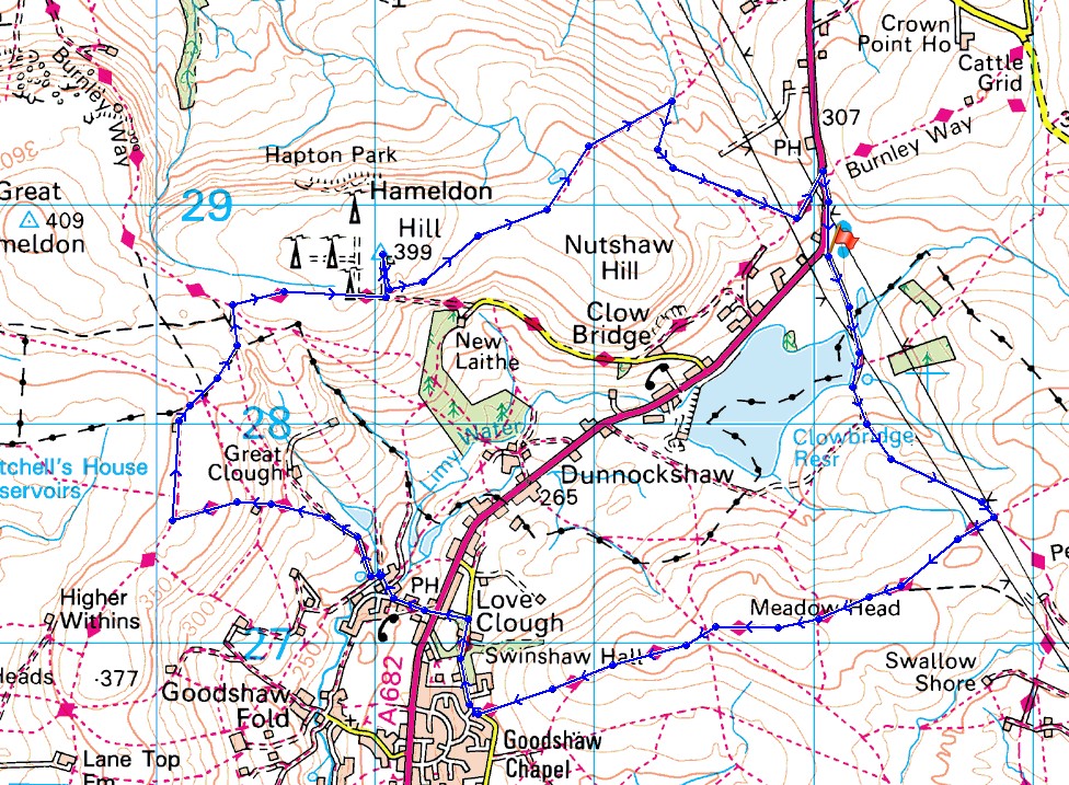
On the bridleway past Clowbridge Reservoir
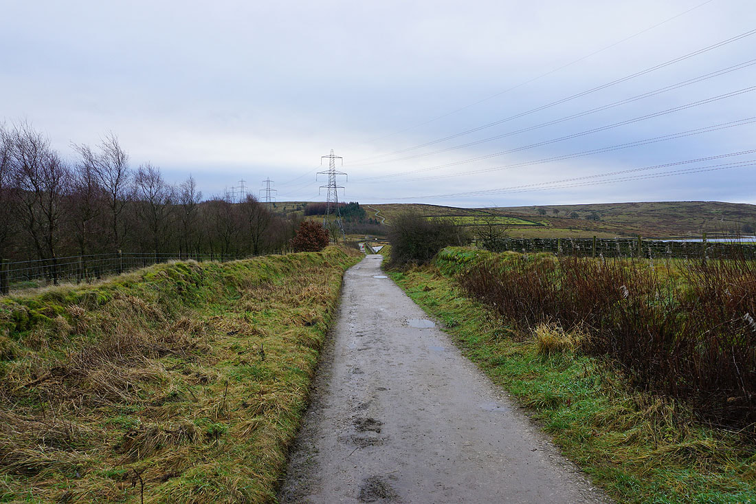
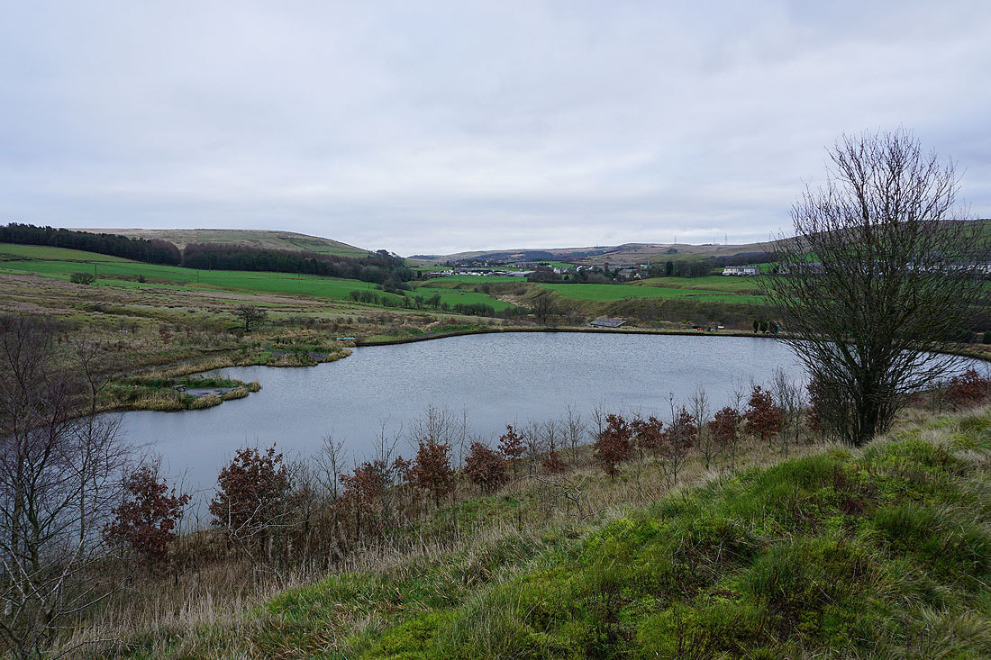
Clowbridge Reservoir
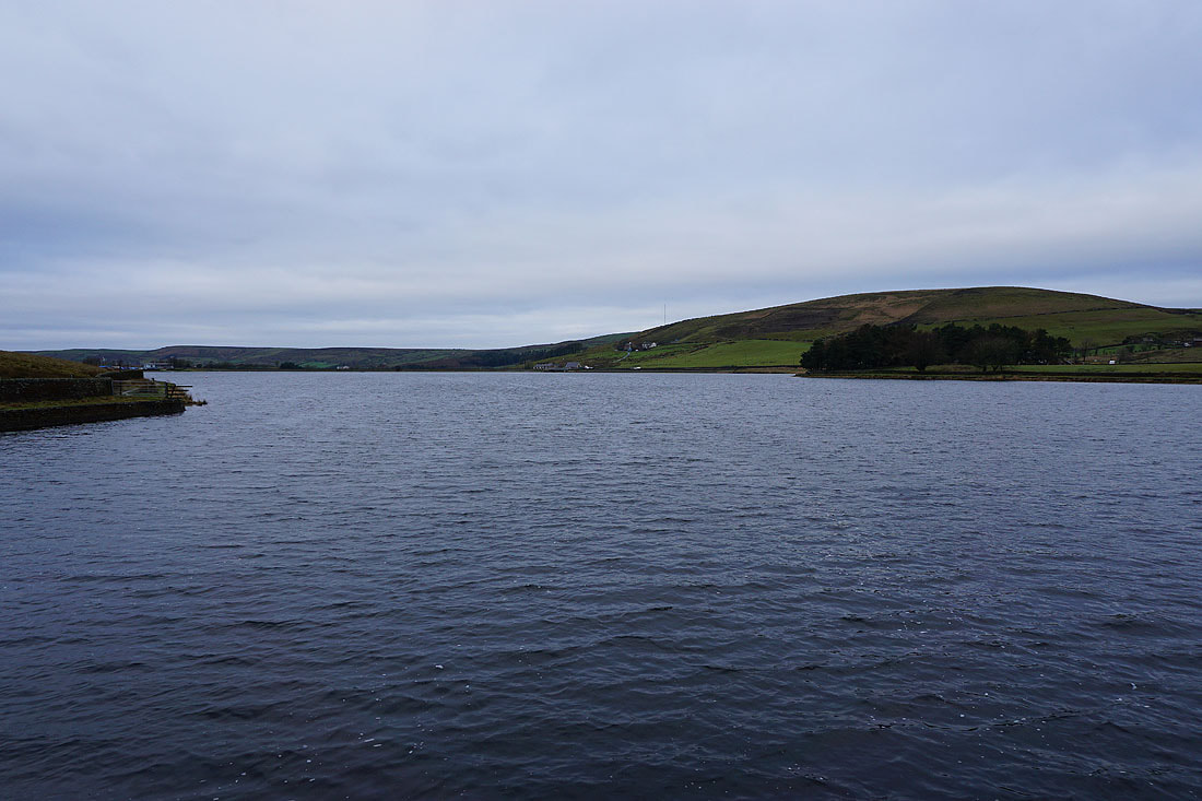
This information board provides some history of the former hamlet of Gambleside, which used to stand near Clowbridge Reservoir. The construction of the reservoir sounded its death knell.
Looking back to Clowbridge Reservoir with Pendle Hill in the distance
Heading west across Meadow Head on the Rossendale Way
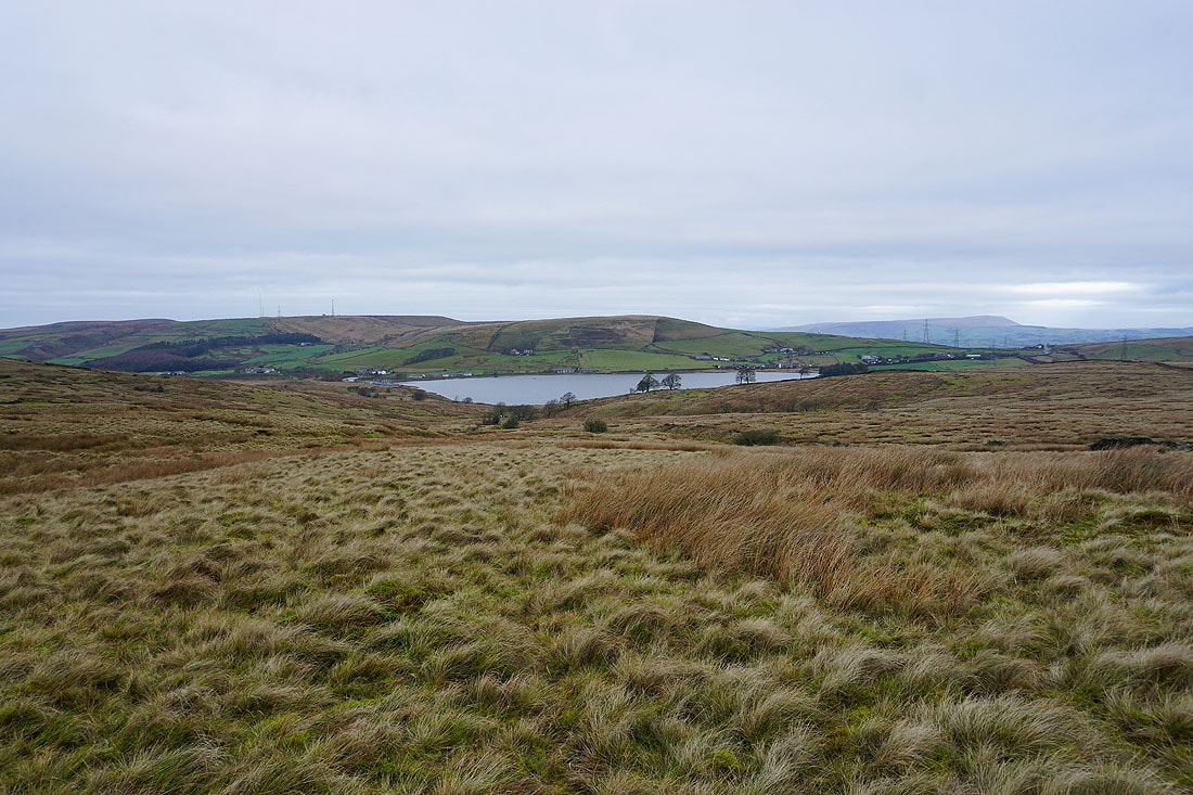
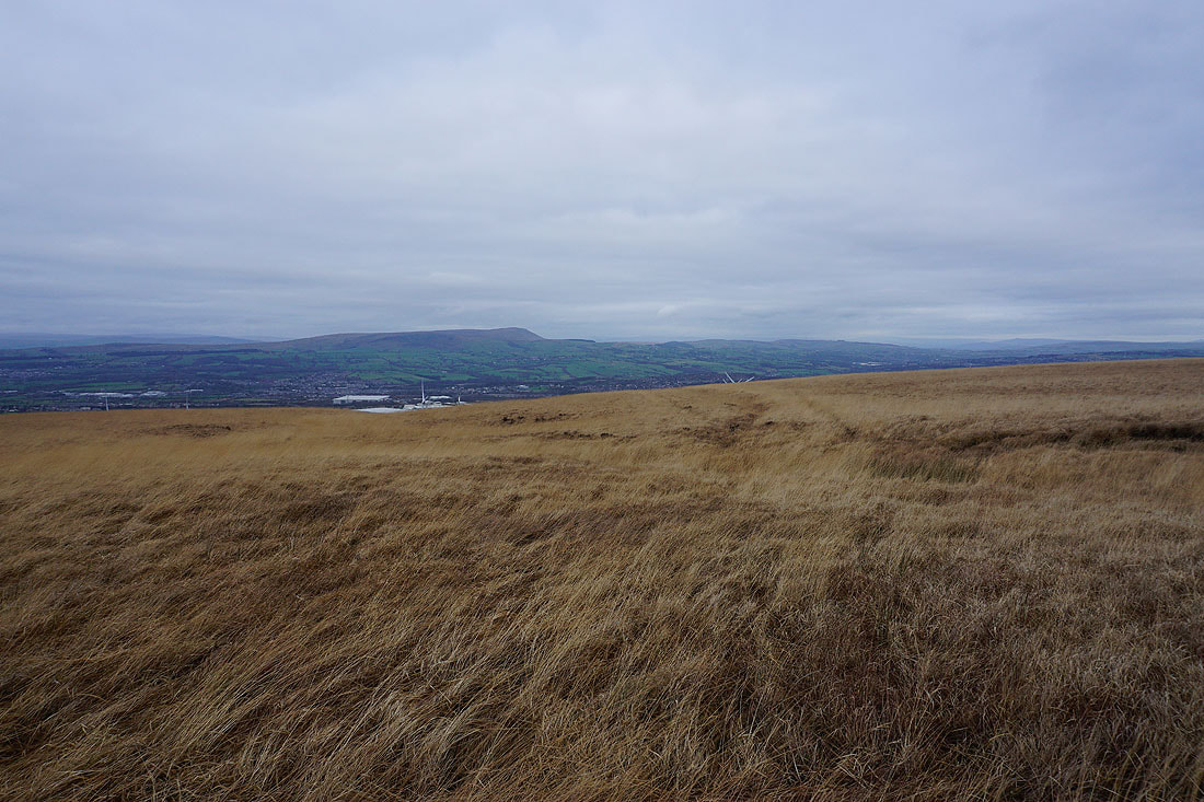
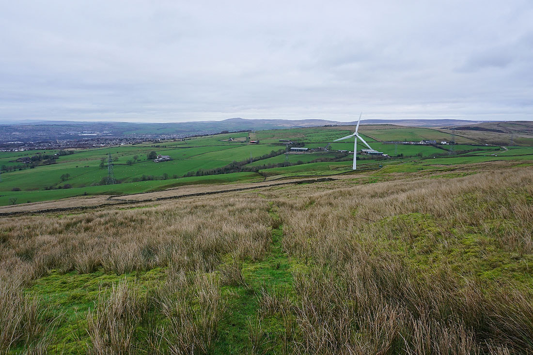
Hameldon Hill, Nutshaw Hill, Clowbridge Reservoir and Pendle Hill
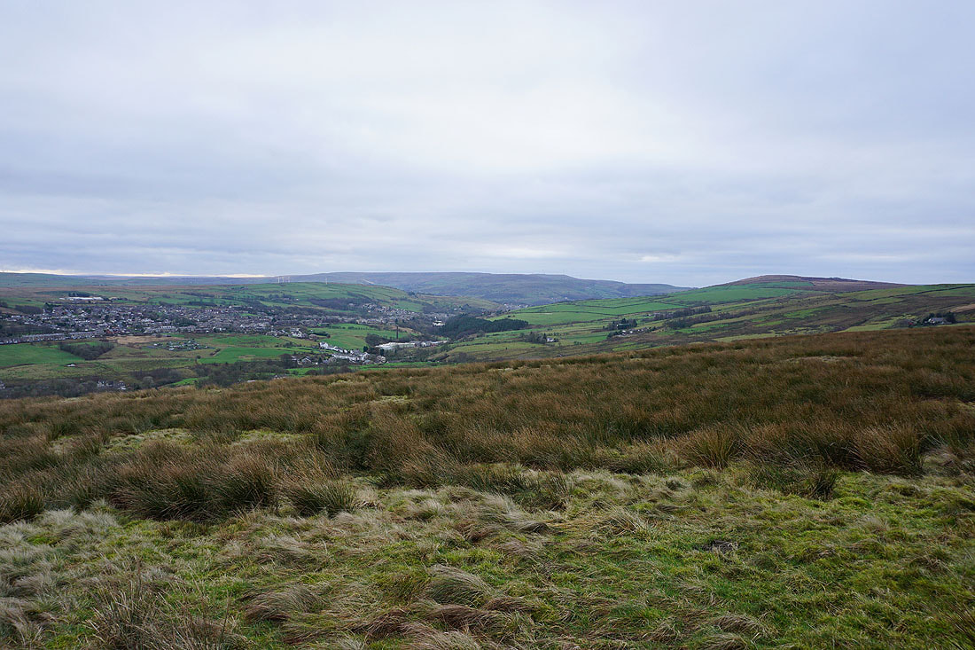
As I look back I can see the moorland that I walked across a couple of days ago
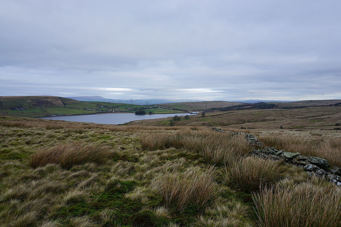
Pendle Hill, Clowbridge Reservoir and way in the distance on the right I can make out Great Whernside in the Yorkshire Dales
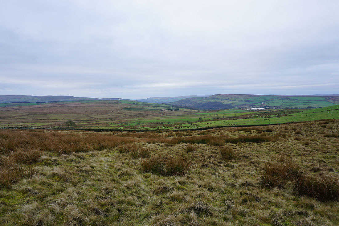
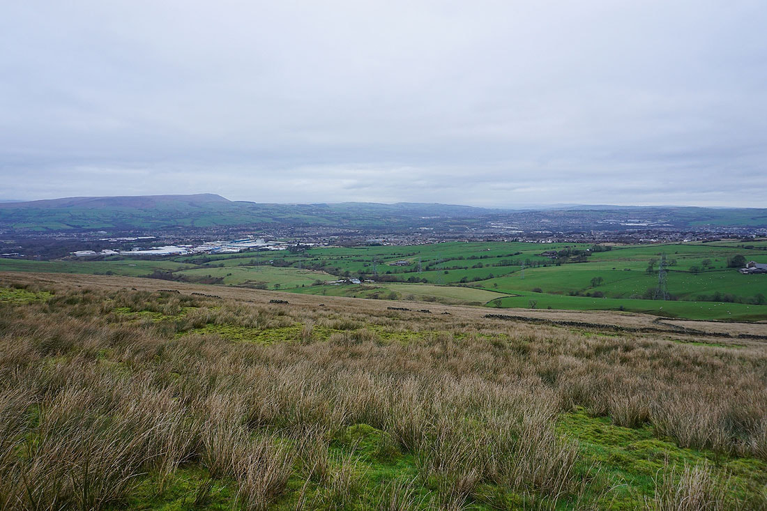
Looking south across Rossendale to Holcombe Moor and Cribden Hill
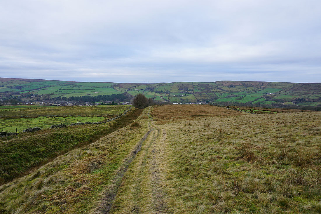
Following the Rossendale Way down to Goodshaw Chapel
One of the lodges at Hillside Fishery
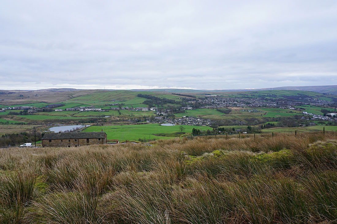
As I make my way uphill, looking back across Rossendale to Love Clough and Goodshaw Chapel
and down the valley to Crawshawbooth and Scout Moor
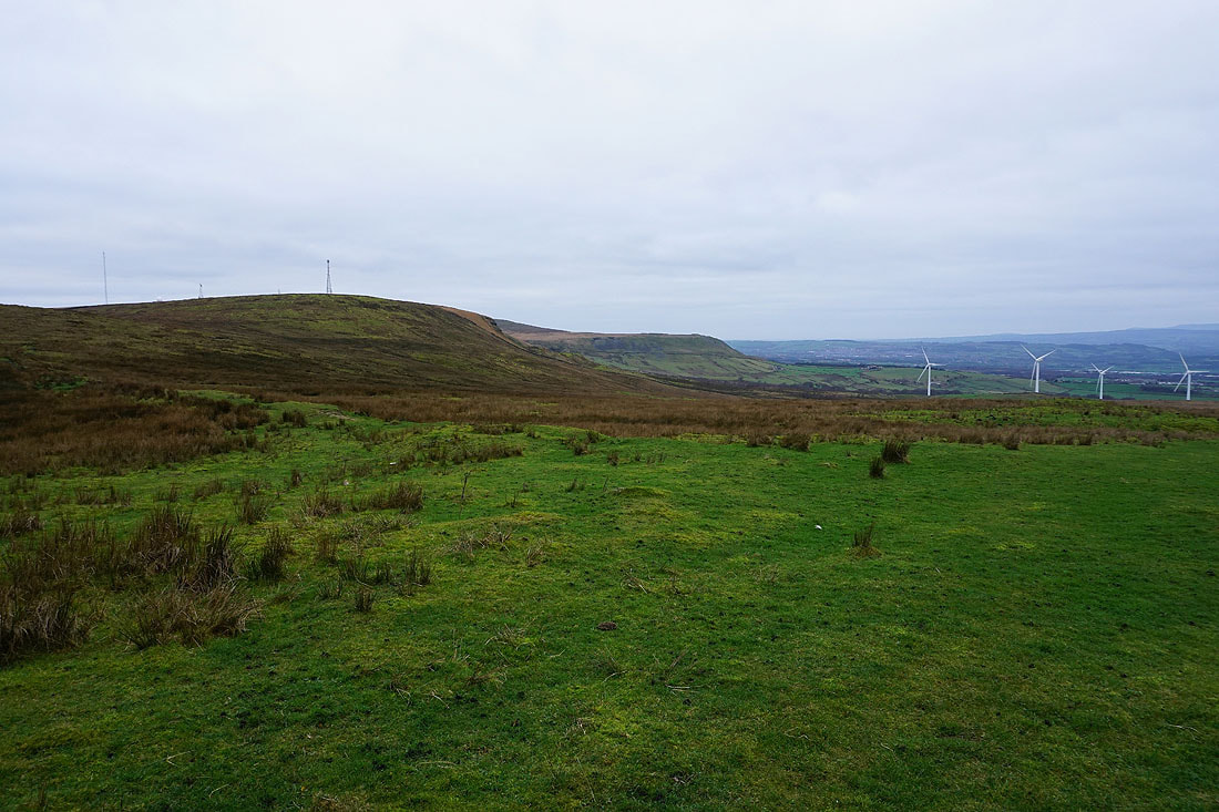
Great Hameldon
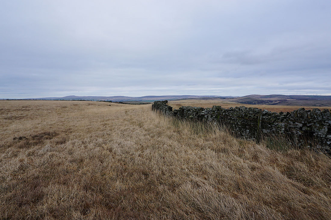
Looking back on the bridleway to Hameldon Hill. Goodshaw Hill on the left with the West Pennine Moors in the distance.
Great Hameldon and a distant Forest of Bowland
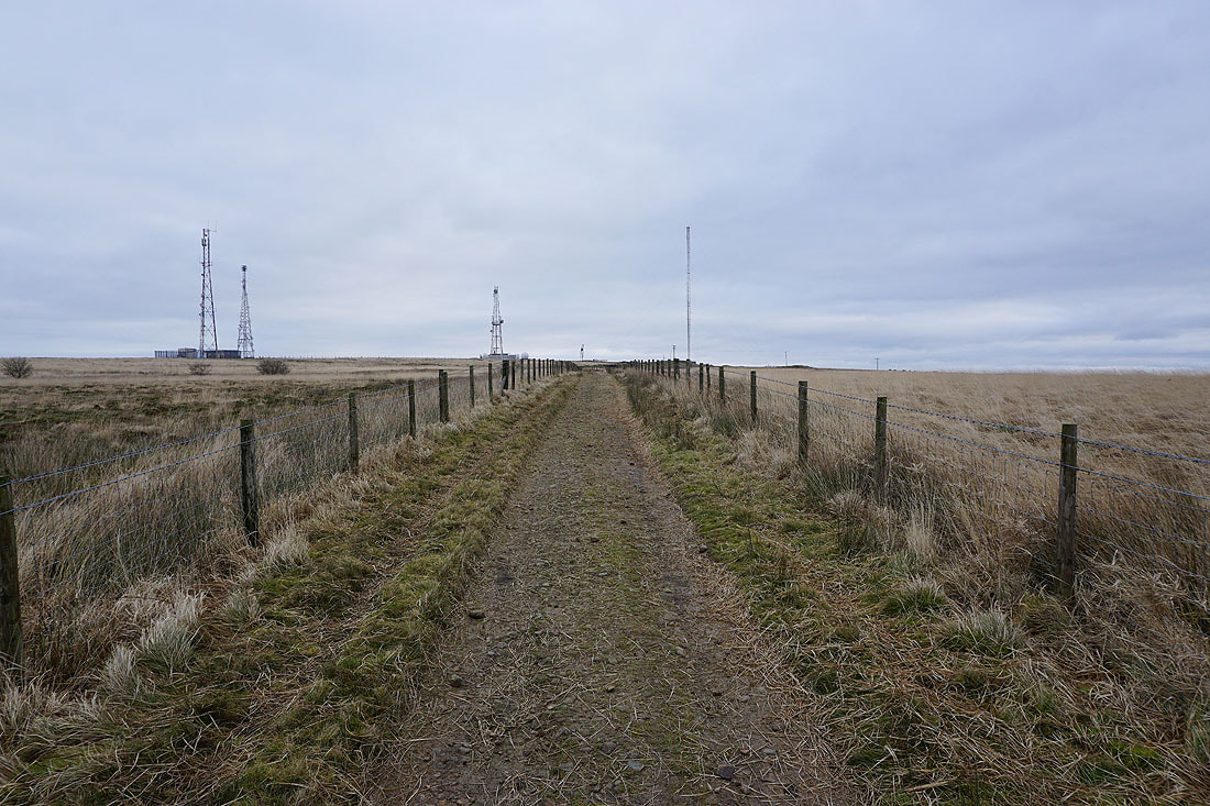
Approaching the masts on Hameldon Hill
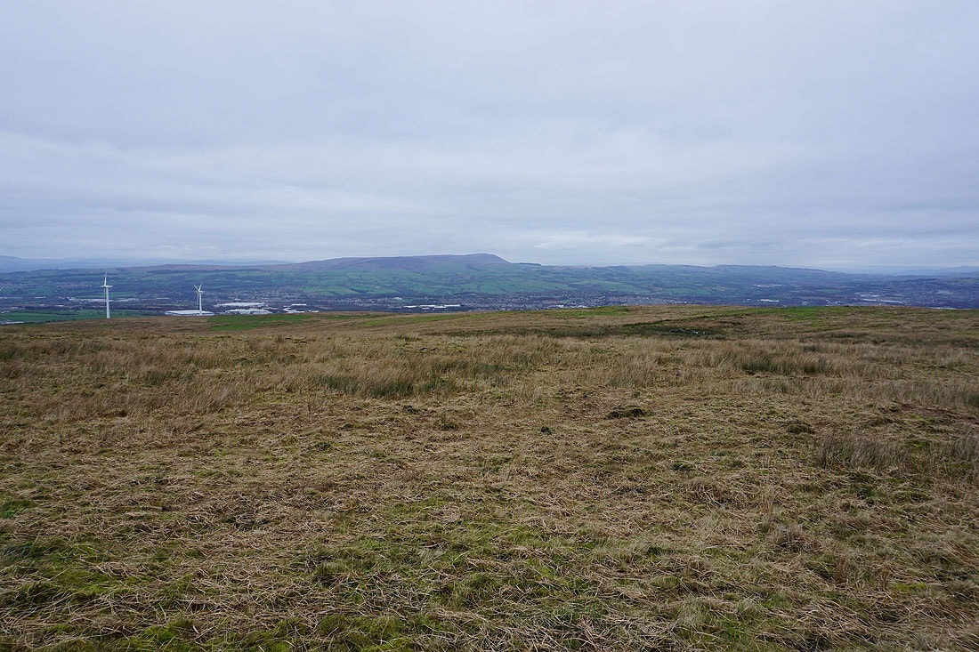
Looking south across Rossendale
and southwest towards the West Pennine Moors
Pendle Hill from the gap between Great Hameldon and Hameldon Hill

Great Hameldon and the Forest of Bowland
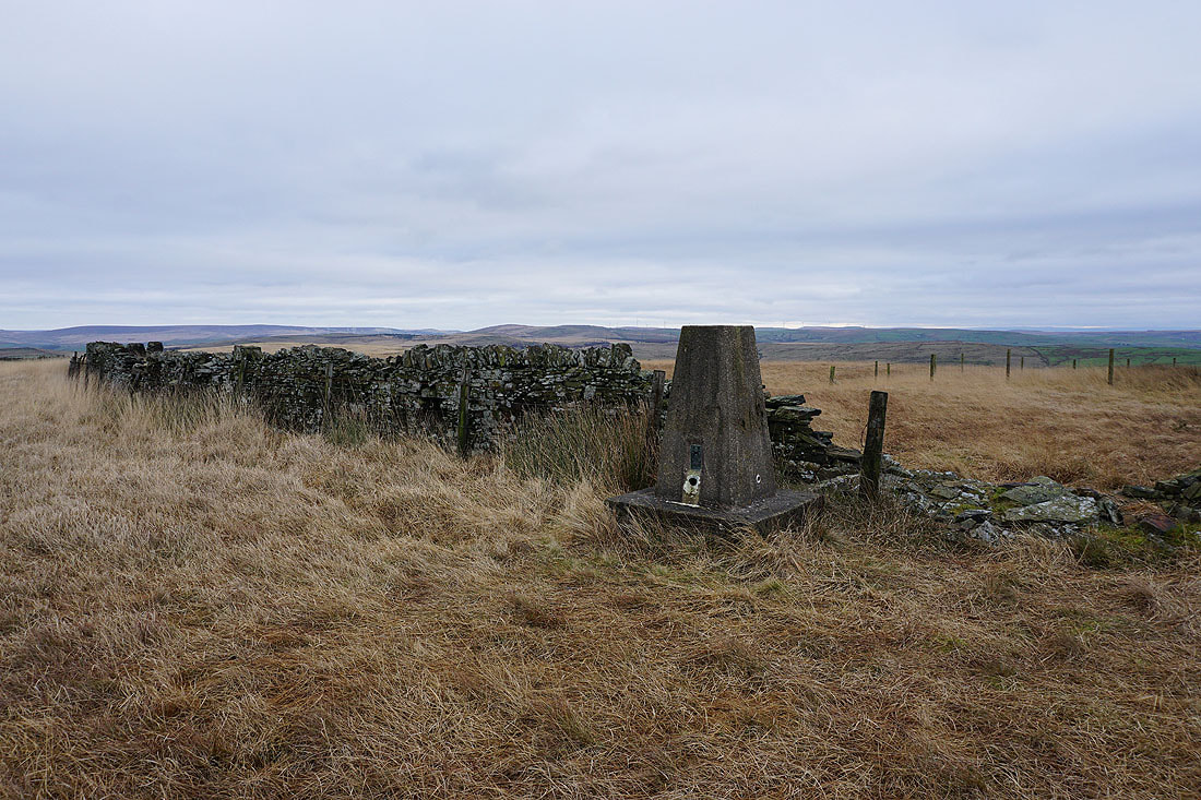
The trig point on Hameldon Hill
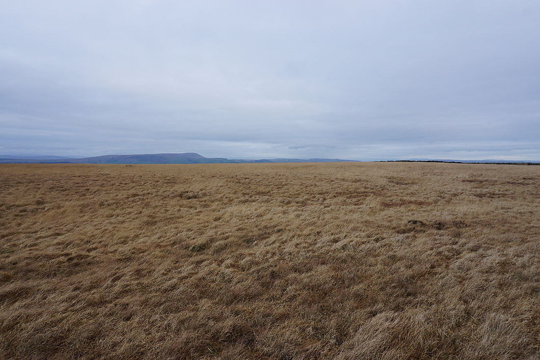
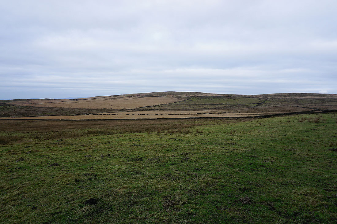
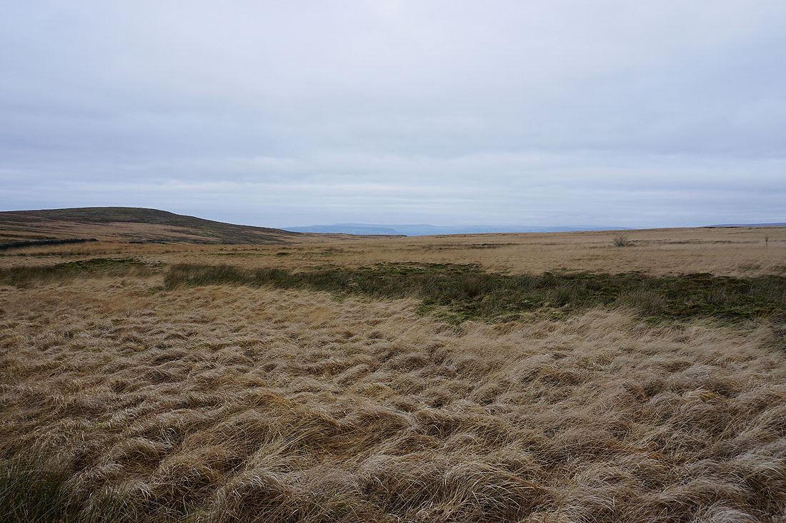
Pendle Hill beyond a sea of grass
Boulsworth Hill, Hoof Stones Height and Thieveley Pike
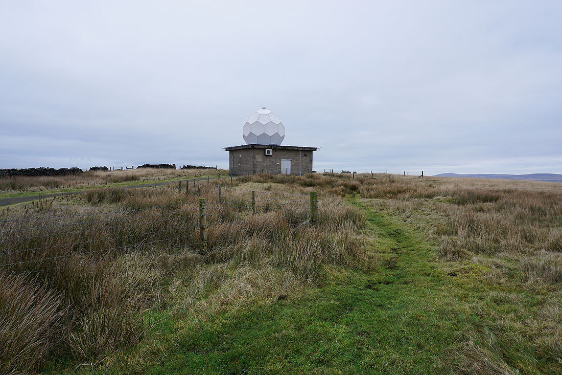
The Met Office rainfall radar station on Hameldon Hill
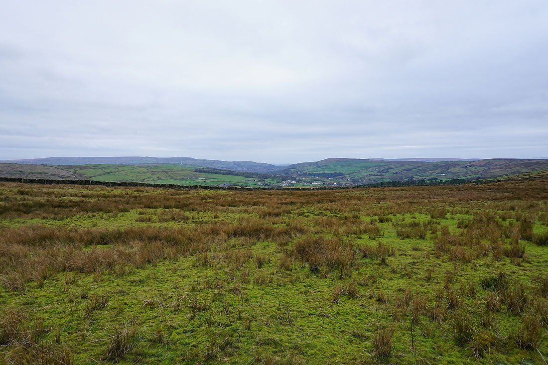
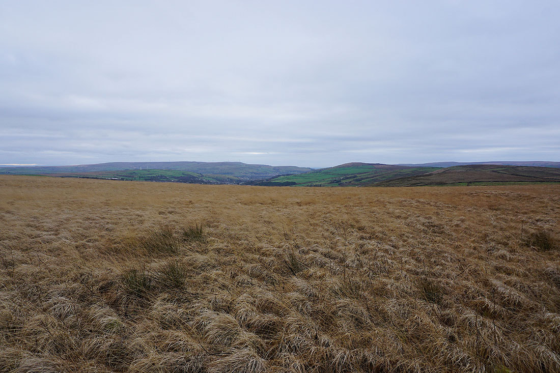
Looking south across Rossendale to Scout Moor and Cribden Hill from Nutshaw Hill
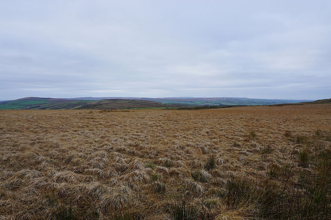
Pendle Hill from Nutshaw Hill
The steep slopes of Hameldon Scouts
Heading down from Nutshaw Hill..
..with Pendle Hill to my left
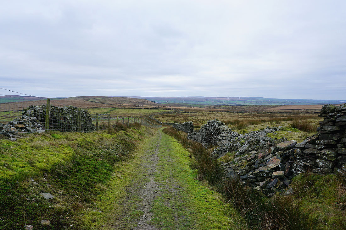
A footpath across fields takes me to the trail of the Rossendale Way
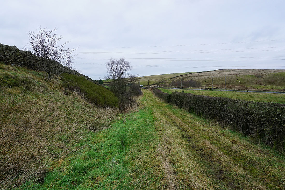
and a short walk along that takes me to the main road and back to where I'm parked