31st December 2019 - Ingleborough
Walk Details
Distance walked: 6.4 miles
Total ascent: 1994 ft
OS map used: OL2 - Yorkshire Dales, Southern & Western areas
Time taken: 4 hrs
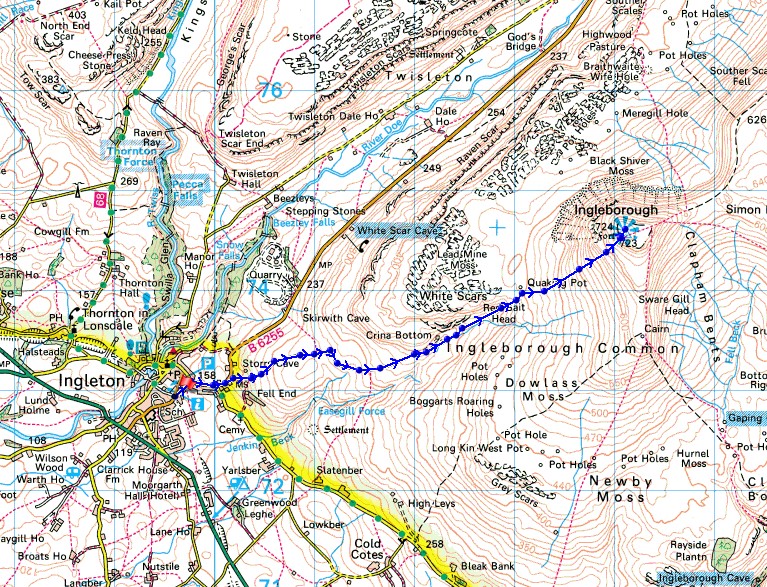
Route description: Ingleton-B6255-Fell Lane-Crina Bottom-Ingleborough-Crina Bottom-Fell Lane-B6255-Ingleton
Not exactly what I was hoping for for my final walk of 2019. My older brother had joined me for my walk today and I'd hoped to show him the view from Ingleborough. The forecast was implying that there was a near certainty of cloud free summits, and before setting off from home I'd checked the Ingleborough webcam and there wasn't a cloud in sight. Unfortunately that changed, and not long after arriving in Ingleton low cloud started to move in and cover the tops of the fells, including Ingleborough. The weather wasn't at all pleasant on the summit with a strong and cold wind blowing, and of course there wasn't much of a view. Fortunately there was space in the summit shelter for us stop there for lunch.
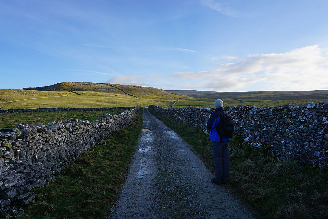
From the car park in Ingleton we walked up the B6255 Hawes road until we reached Storrs Common where we took the track of Fell Lane. Fell Lane was then followed up to Crina Bottom, then from there the bridleway to the summit of Ingleborough. We returned to Ingleton by retracing our steps.
Route map
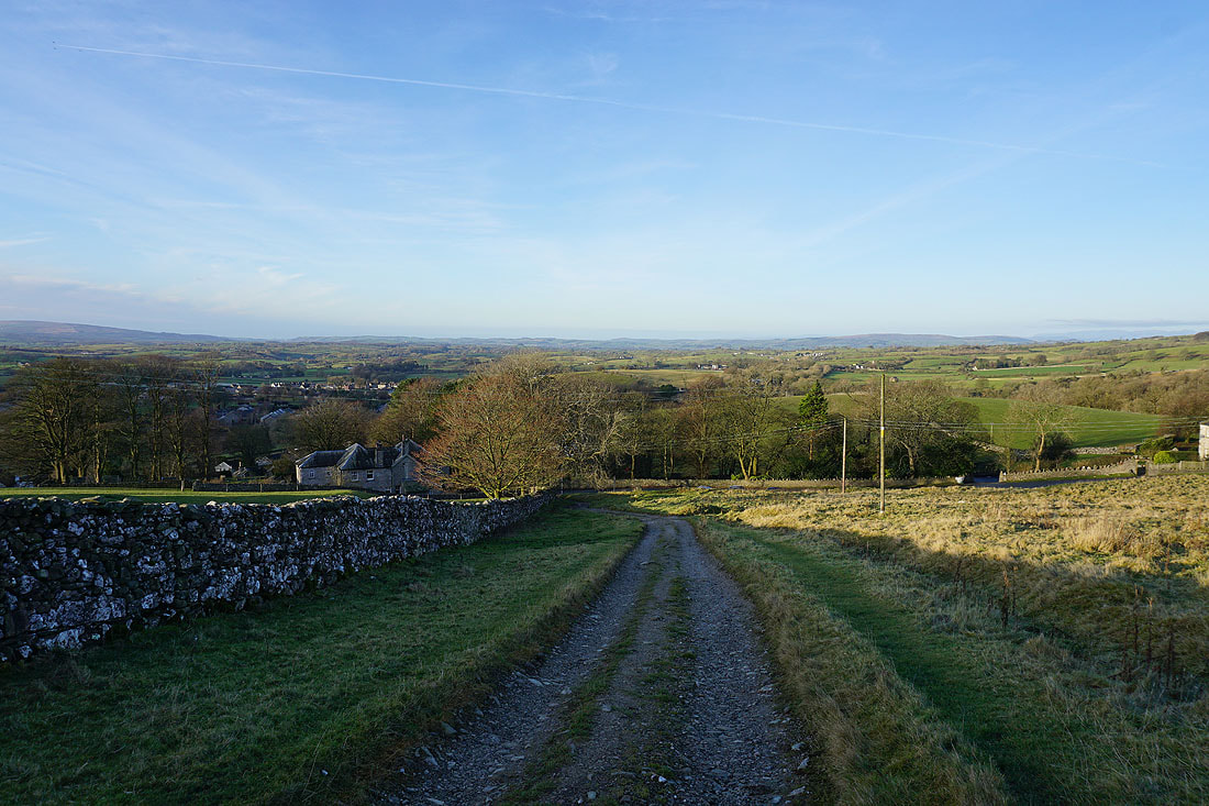
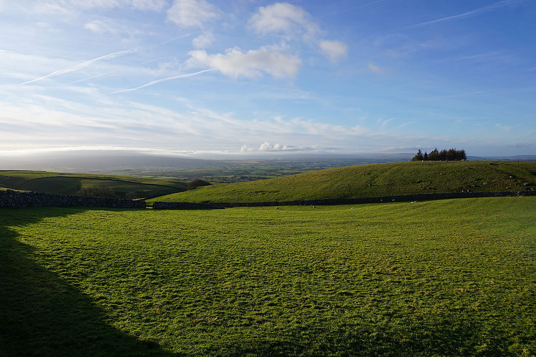
Looking back down on Ingleton as we head up the track of Fell Lane..
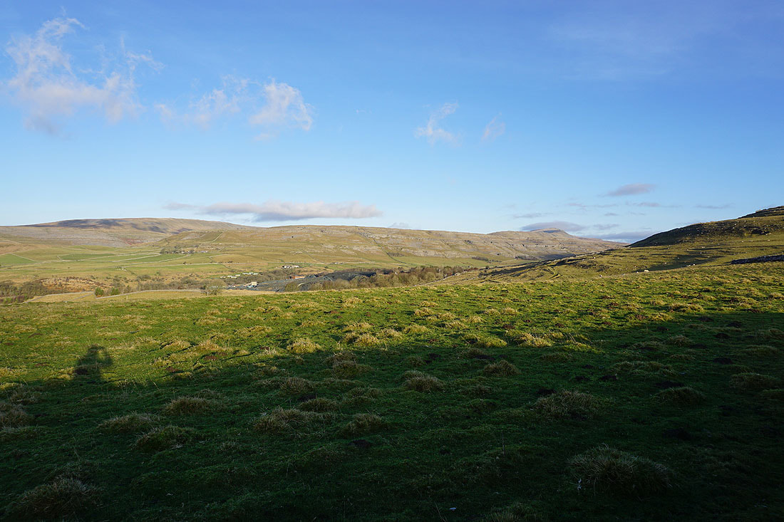
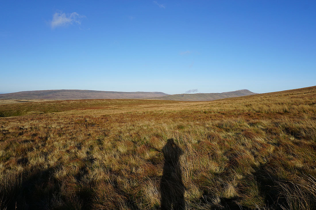
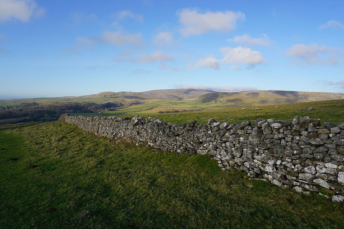
Gragareth, Twisleton Scars and Whernside over the wall to our left
White Scars ahead as Fell Lane heads for Crina Bottom
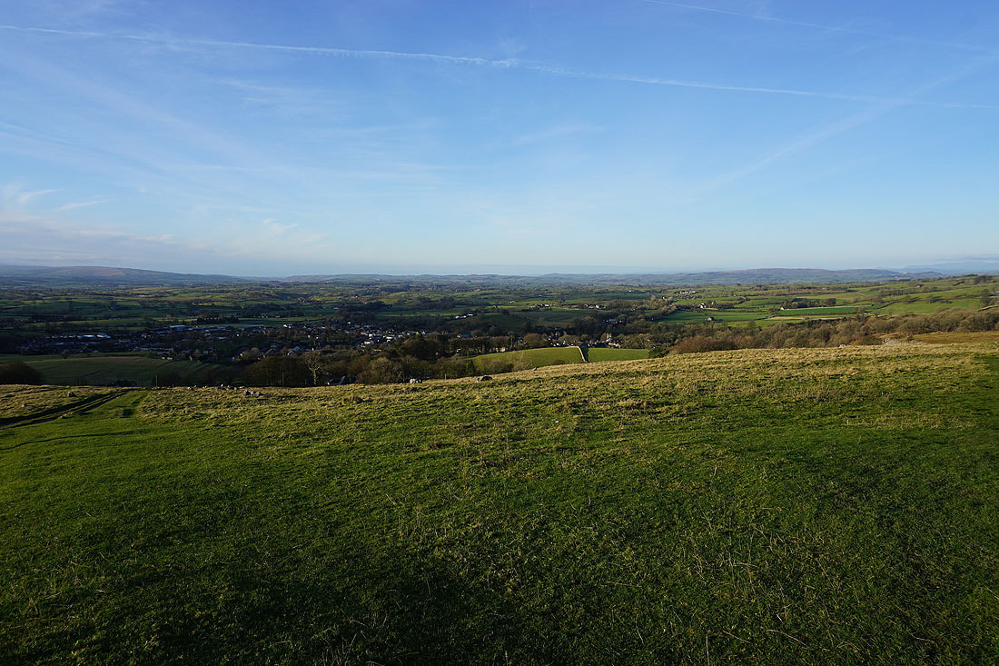
Not too far away there's low cloud covering some of the hills of the Forest of Bowland
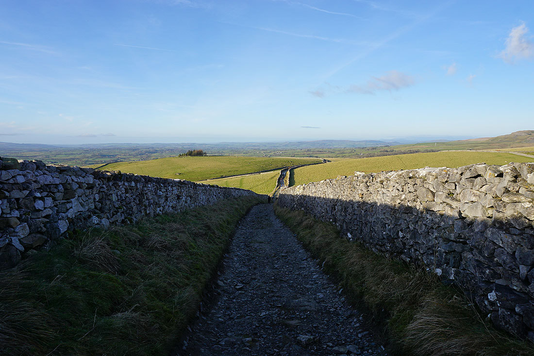
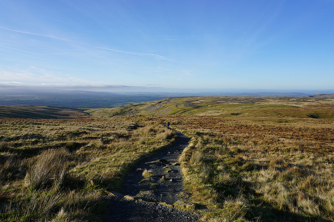
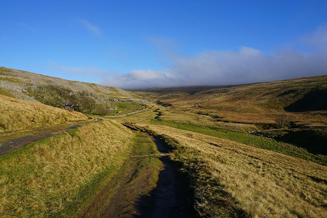
Looking back down Fell Lane
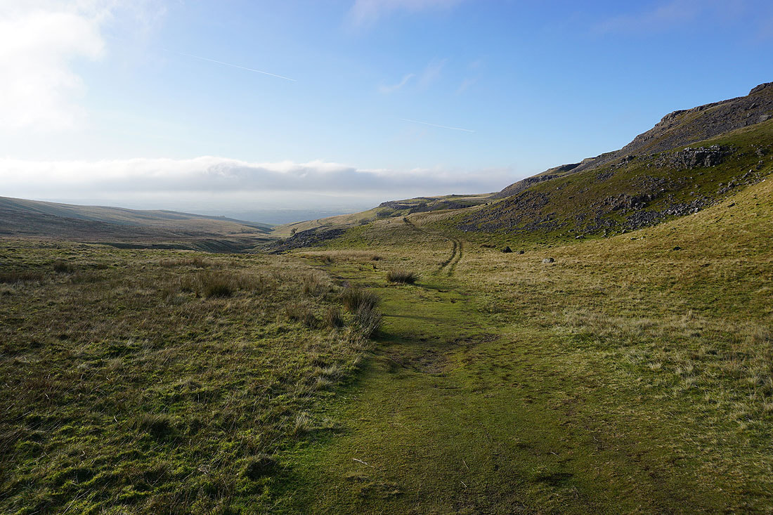
At Crina Bottom and we finally see Ingleborough for the first time since setting off. Fingers crossed for the cloud to clear.
Gragareth, Great Coum and Whernside
Looking back across White Scars
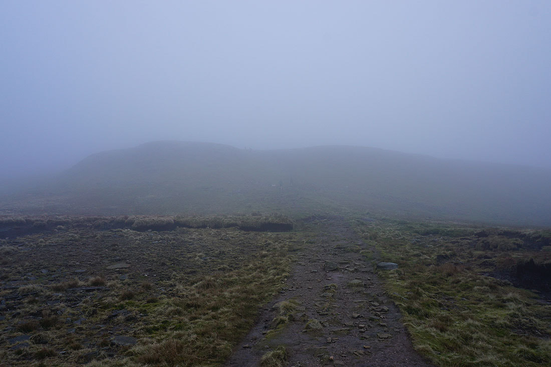
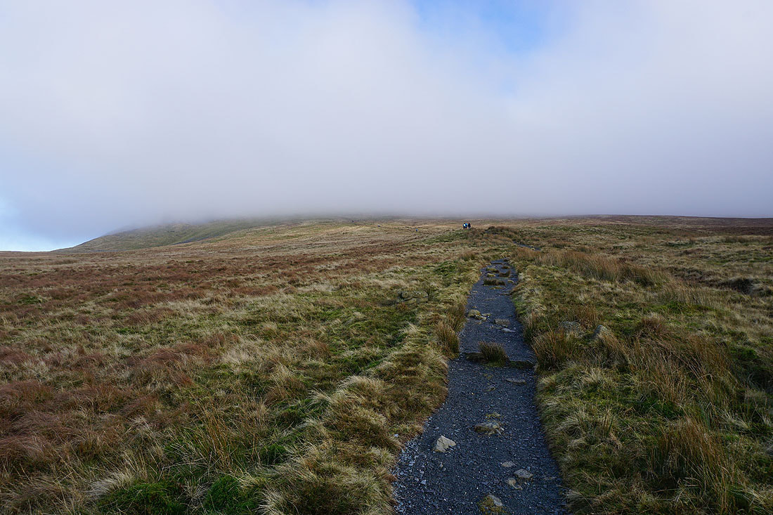
Up into the cloud
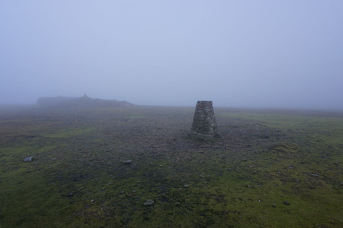
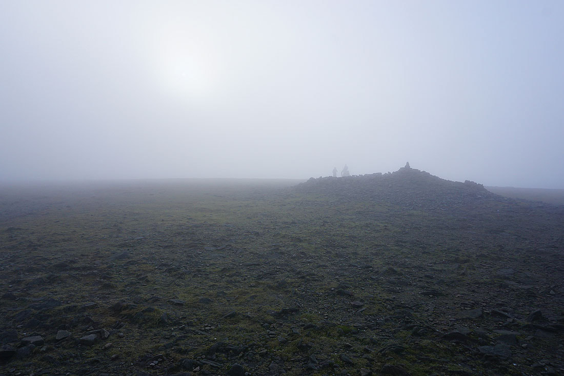
A not very pleasant summit of Ingleborough. Cold, windy, and not much to see.
It brightens for a time while sat in the summit shelter
Leaving the summit via the path back down to Ingleton
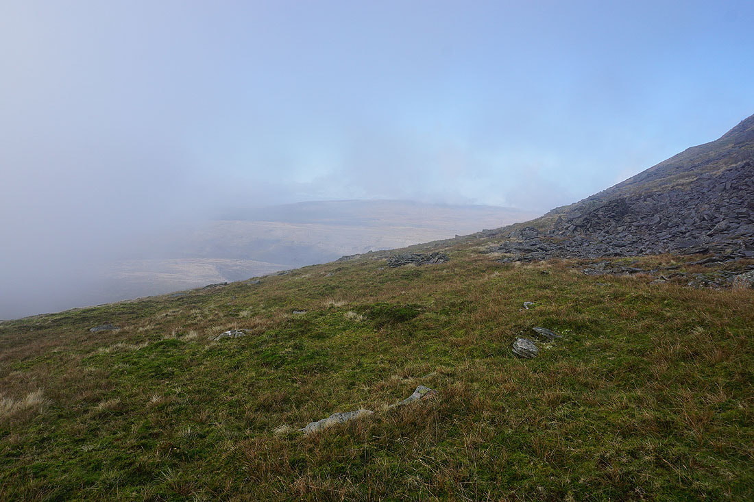
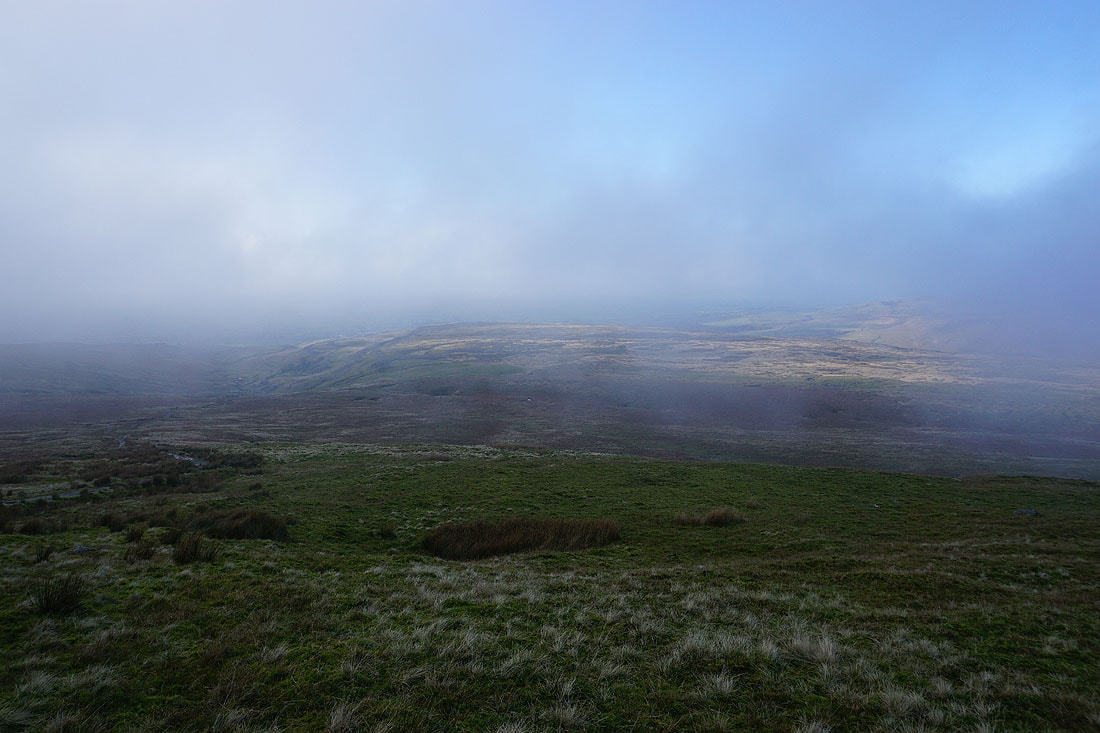
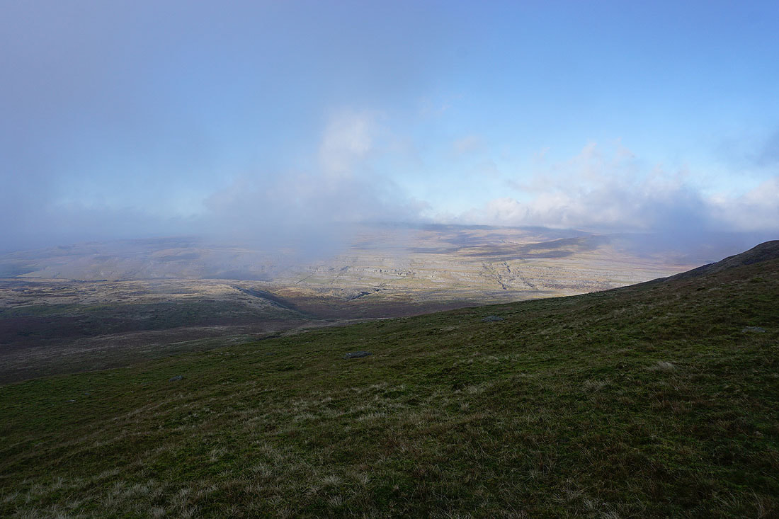
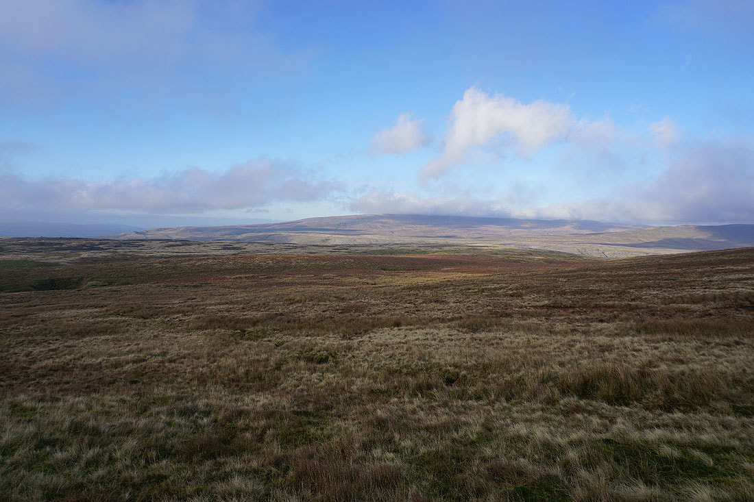
As we descend the cloud soon starts to break up and the surrounding fells come into view....
The top of Ingleborough is still covered in cloud though
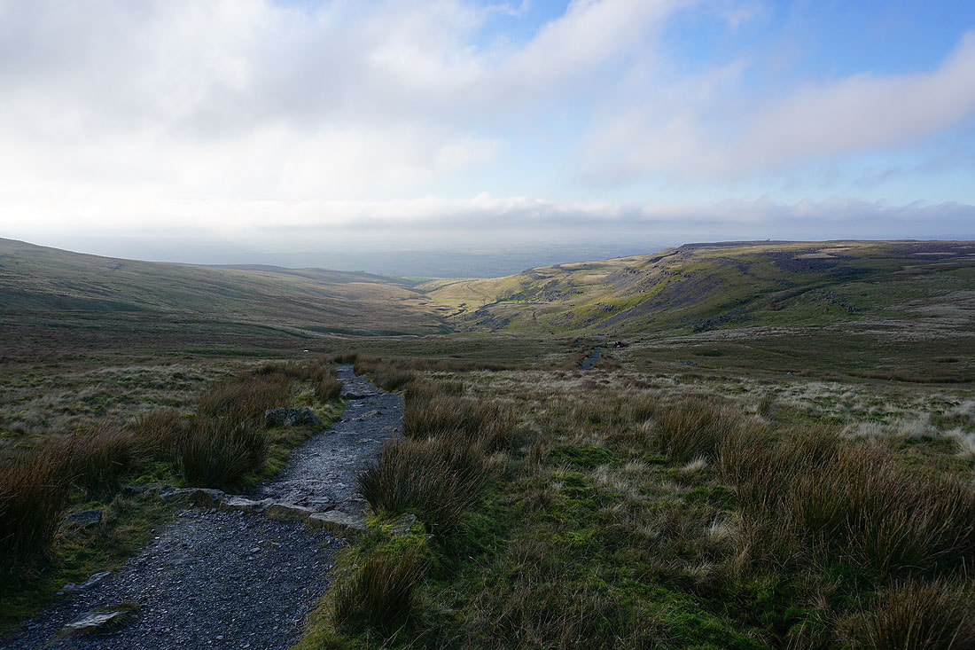
Heading back down to Crina Bottom..
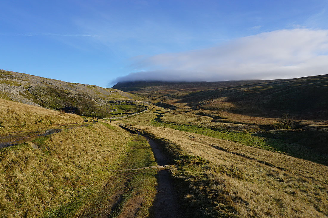
A cloud-capped Ingleborough from Crina Bottom
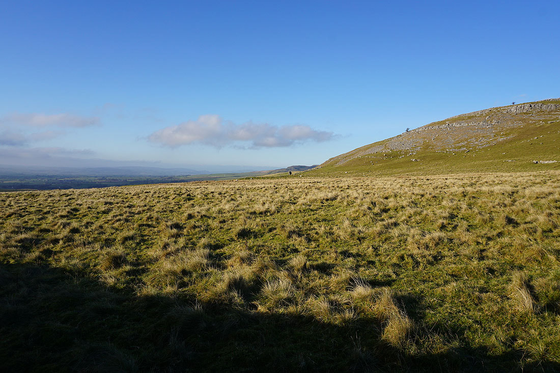
The southern end of White Scars
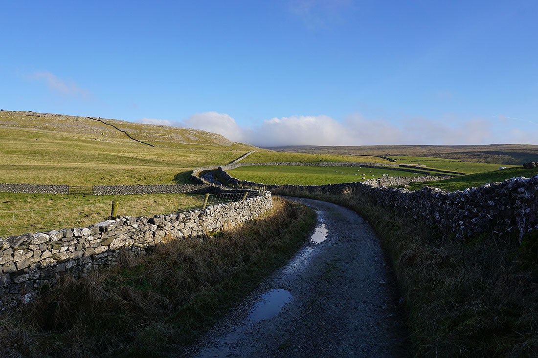
Looking back up Fell Lane
Tow Scar, Gragareth and Twisleton Scar End
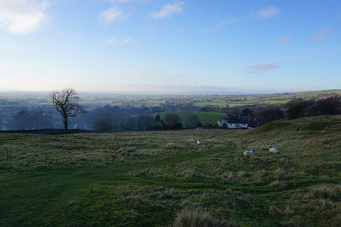
Back above Ingleton
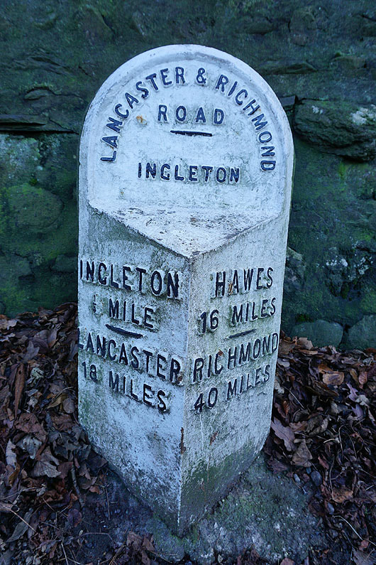
Milestone on the B6255 Ingleton to Hawes road
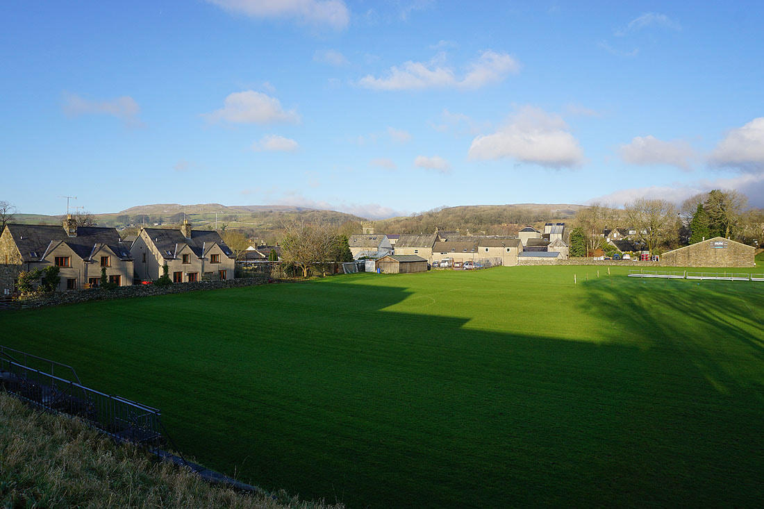
Tow Scar and Twisleton Scar End above the roof tops of Ingleton, as we make it back to the car park
