31st December 2021 - Wolf Stones
Walk Details
Distance walked: 10.0 miles
Total ascent: 1312 ft
OS map used: OL21 - South Pennines
Time taken: 5 hrs
Route description: Harehill Lane-Harehill House-Tewitt Hall Farm-Turnshaw Road-White Lane-Green Lane-Gill Lane-Newsholme-Newsholme Dean-Greystones Lane-Coppy Lane-Slippery Ford Lane-Morkin Bridge-Keighley Moor Reservoir-Oakworth Moor-Pennine Way-Wolf Stones-Pennine Way-Oakworth Moor-Keighley Moor Reservoir-Millennium Way-Harehill House-Harehill Lane
My last walk of 2021 and I've stayed close to home for it. The weather just isn't good enough for me to justify a long drive, and with the strength of the wind that's forecast putting the high fells out of bounds, I made the short drive across the moors to the Worth Valley and Bronte Country. I'm certainly familiar with these moors and it was just a few months ago that I did a slightly longer version of this route, and I've walked across Keighley and Oakworth Moors and up to the trig point on Wolf Stones many times. Sometimes it's nice not to have to think about checking a map to make sure that you're sticking to a planned route. Apart from the strength of the wind it was a pretty nice winter's day with quite a bit of sunshine, and when I did manage to get out of the wind it felt as mild as it was.
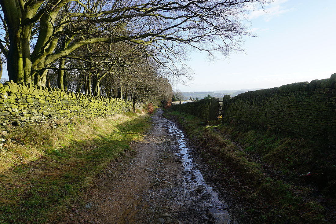
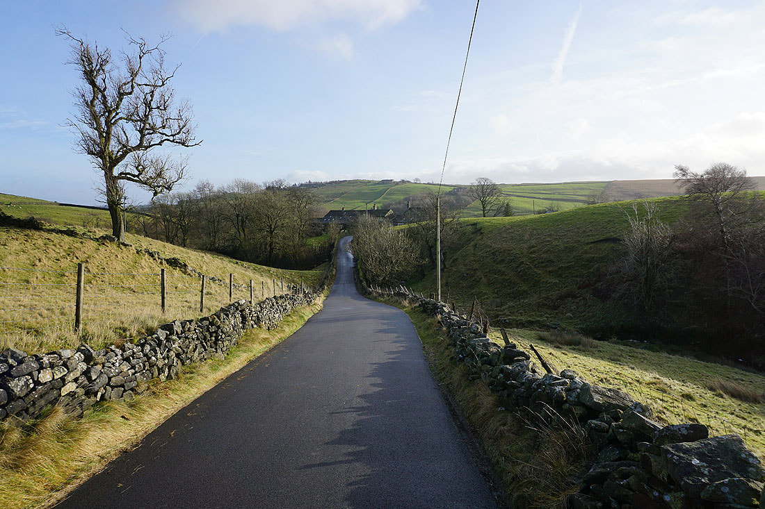
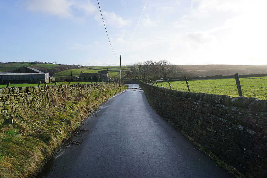
From where I parked in the layby on Harehill Lane I took the track up to Harehill House, then the footpath onto the moor towards Moorcock Farm. I soon reached a footpath on the right at a gate, which I took and followed across fields to a bridleway where I turned right and followed it east and south past Tewitt Hall Farm to reach the track of Turnshaw Road. I turned left and took Turnshaw Road east and then the track and road of White Lane to its junction with Green Lane. After a brief walk east along Green Lane I took Gill Lane north to the hamlet of Newsholme, then from there the bridleway north down into Newsholme Dean, across the packhorse bridge over Dean Beck and up to the end of a track at some cottages. I then briefly walked up this track (a bridleway) until I reached a bridleway on the left, which I took and followed west up the northern slopes of Newsholme Dean to Greystones Lane, which I walked west along to Coppy Lane, and then south along Slippery Ford Lane to Morkin Bridge. I left the road behind here and made my way up the track to Keighley Moor Reservoir, then from the southern end of the dam I took the path west up the moor to reach the Pennine Way, which I followed west towards Wolf Stones, leaving it for the final climb to the trig point. After taking in the view I returned to the Pennine Way, and retraced my steps back to Keighley Moor Reservoir, where I picked up the Millennium Way and followed it east across Oakworth Moor to the moorland just north of Harehill House. From here I took the footpath to Harehill House, and then the track back down to Harehill Lane and where I was parked.
Total ascent: 1312 ft
OS map used: OL21 - South Pennines
Time taken: 5 hrs
Route description: Harehill Lane-Harehill House-Tewitt Hall Farm-Turnshaw Road-White Lane-Green Lane-Gill Lane-Newsholme-Newsholme Dean-Greystones Lane-Coppy Lane-Slippery Ford Lane-Morkin Bridge-Keighley Moor Reservoir-Oakworth Moor-Pennine Way-Wolf Stones-Pennine Way-Oakworth Moor-Keighley Moor Reservoir-Millennium Way-Harehill House-Harehill Lane
My last walk of 2021 and I've stayed close to home for it. The weather just isn't good enough for me to justify a long drive, and with the strength of the wind that's forecast putting the high fells out of bounds, I made the short drive across the moors to the Worth Valley and Bronte Country. I'm certainly familiar with these moors and it was just a few months ago that I did a slightly longer version of this route, and I've walked across Keighley and Oakworth Moors and up to the trig point on Wolf Stones many times. Sometimes it's nice not to have to think about checking a map to make sure that you're sticking to a planned route. Apart from the strength of the wind it was a pretty nice winter's day with quite a bit of sunshine, and when I did manage to get out of the wind it felt as mild as it was.
From where I parked in the layby on Harehill Lane I took the track up to Harehill House, then the footpath onto the moor towards Moorcock Farm. I soon reached a footpath on the right at a gate, which I took and followed across fields to a bridleway where I turned right and followed it east and south past Tewitt Hall Farm to reach the track of Turnshaw Road. I turned left and took Turnshaw Road east and then the track and road of White Lane to its junction with Green Lane. After a brief walk east along Green Lane I took Gill Lane north to the hamlet of Newsholme, then from there the bridleway north down into Newsholme Dean, across the packhorse bridge over Dean Beck and up to the end of a track at some cottages. I then briefly walked up this track (a bridleway) until I reached a bridleway on the left, which I took and followed west up the northern slopes of Newsholme Dean to Greystones Lane, which I walked west along to Coppy Lane, and then south along Slippery Ford Lane to Morkin Bridge. I left the road behind here and made my way up the track to Keighley Moor Reservoir, then from the southern end of the dam I took the path west up the moor to reach the Pennine Way, which I followed west towards Wolf Stones, leaving it for the final climb to the trig point. After taking in the view I returned to the Pennine Way, and retraced my steps back to Keighley Moor Reservoir, where I picked up the Millennium Way and followed it east across Oakworth Moor to the moorland just north of Harehill House. From here I took the footpath to Harehill House, and then the track back down to Harehill Lane and where I was parked.
Route map
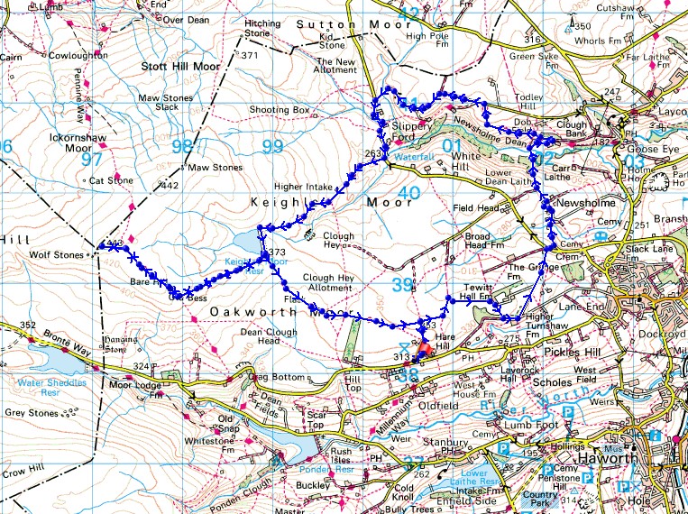
© Crown copyright. All rights reserved. License number PU 100034184.
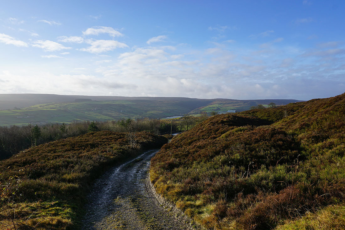
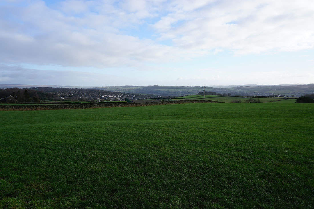
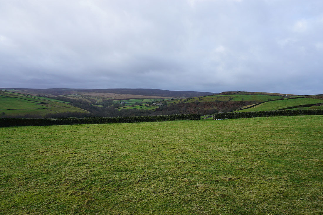
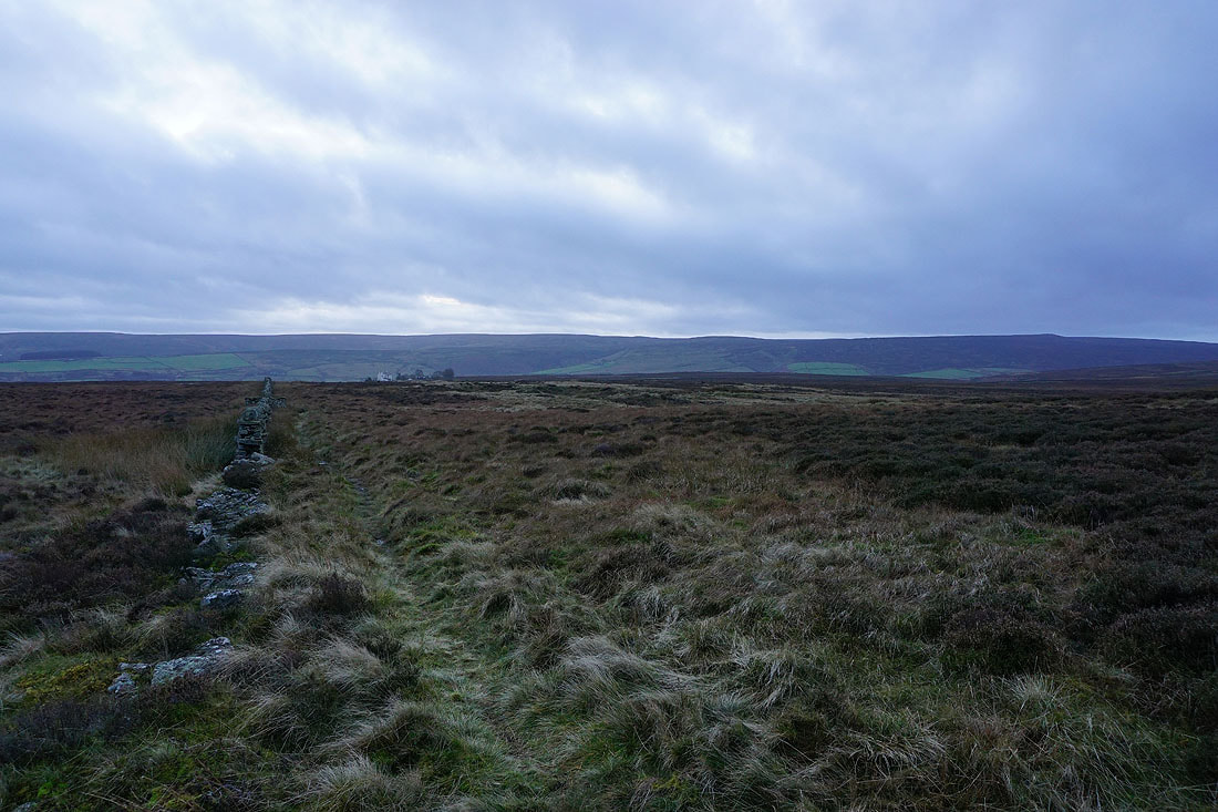
Stanbury Moor and Ponden Clough from above the layby on Harehills Lane..
..and looking across the Worth Valley to Penistone Hill
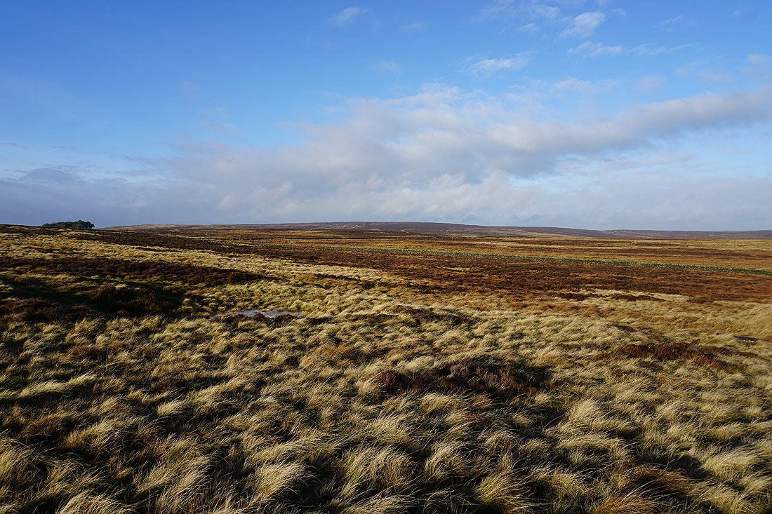
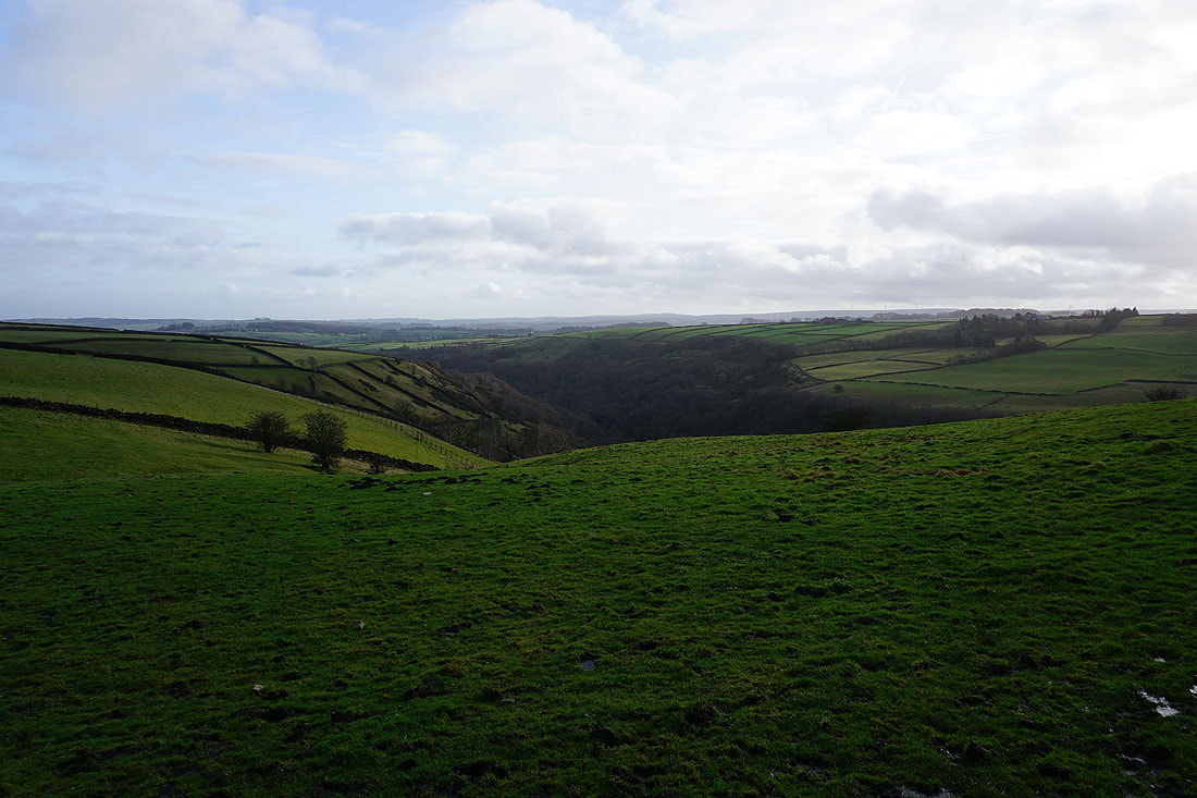
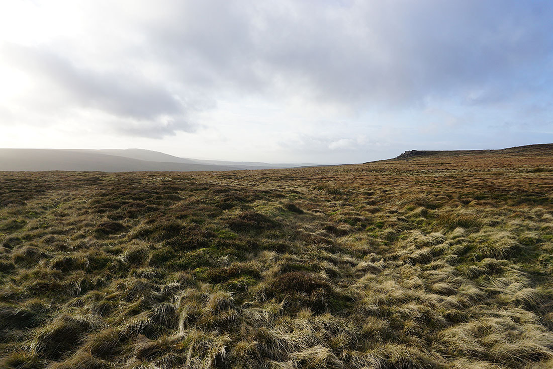
A sunlit Oakworth Moor
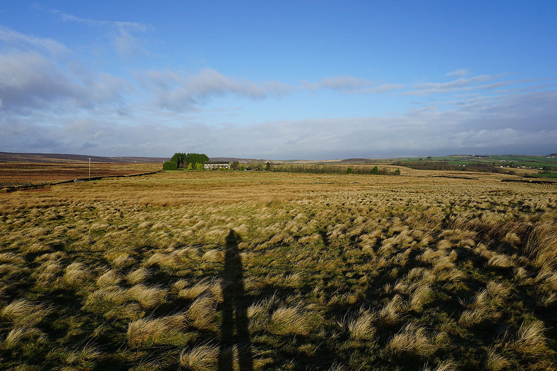
Moorcock Farm and the moorland of Nook Allotment
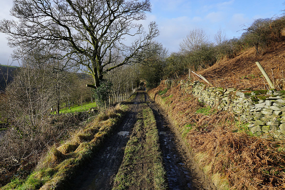
A footpath across a very wet field will take me to the bridleway to Tewitt Hall Farm
Looking north along the bridleway
and following it east towards Tewitt Hall Farm
Past Tewitt Hall Farm and I join the bridleway of Turnshaw Road and follow it east
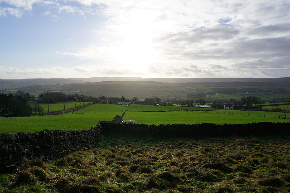
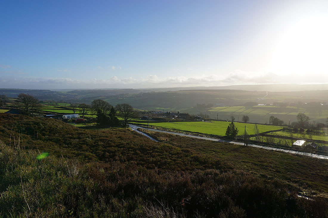
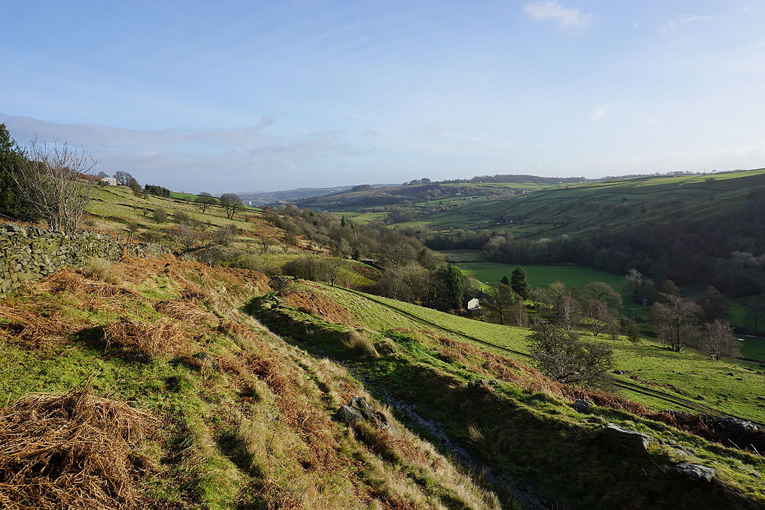
Looking across the Worth Valley to Penistone Hill..
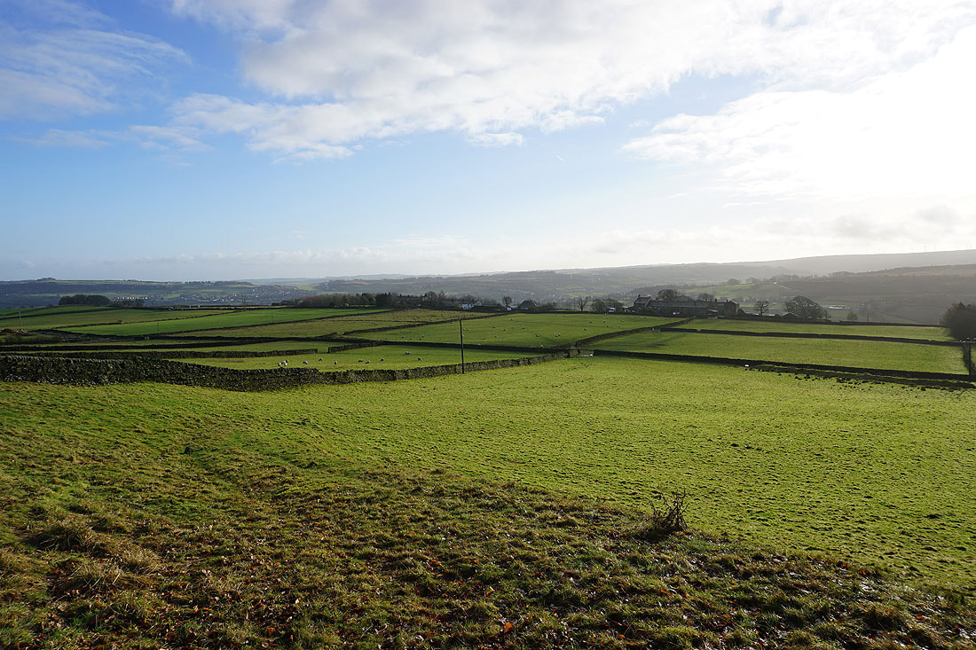
..and towards Haworth and Brow Moor
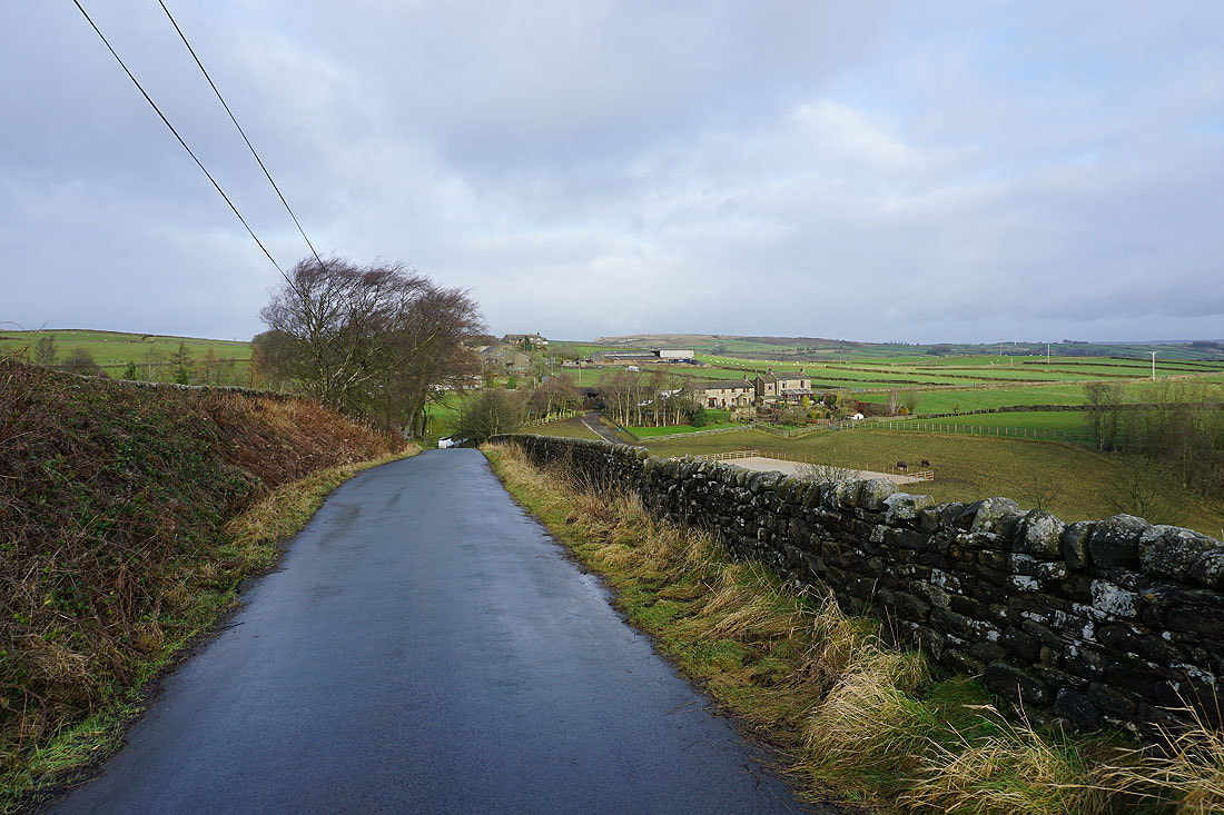
I leave Turnshaw Road and head north on the bridleway of White Lane
Oakworth with Harden Moor in the distance
At the end of White Lane I cross Green Lane and head north along Gill Lane to the hamlet of Newsholme
Past Newsholme and on the bridleway down into Newsholme Dean
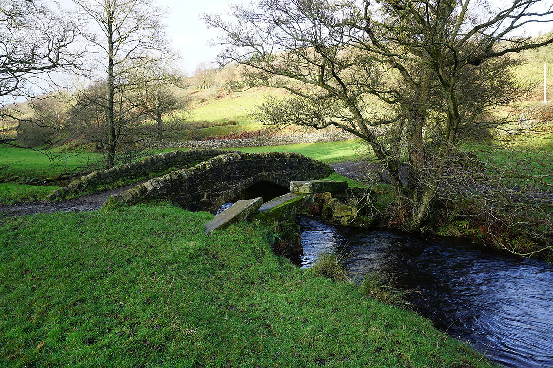
A choice of means for crossing Dean Beck
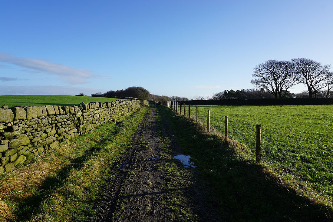
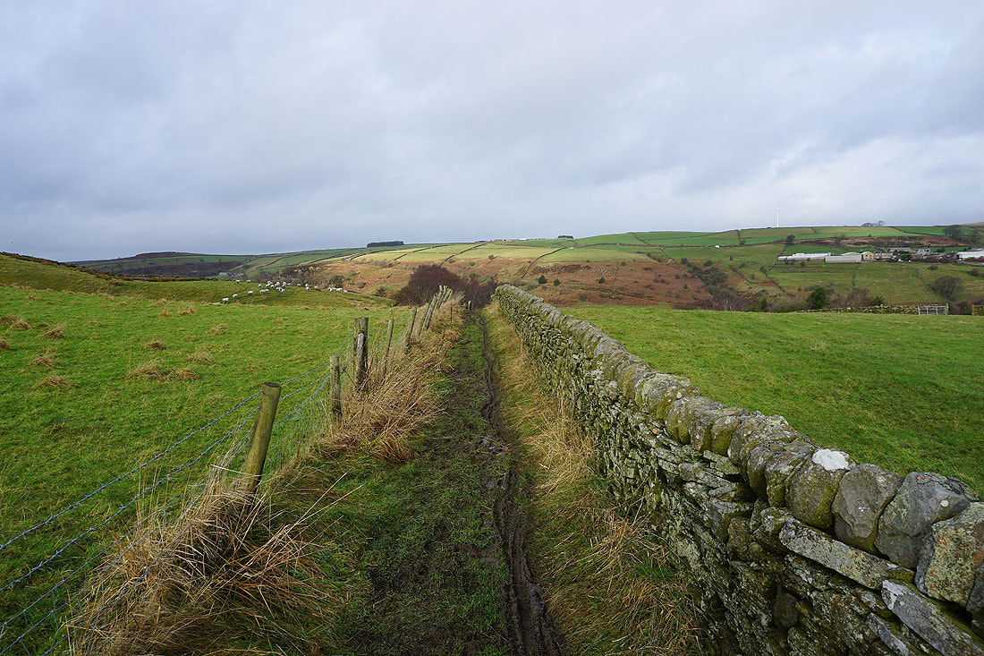
I leave the valley by taking a bridleway that heads west up its northern slopes to Todley Hall Road
I stop for my lunch break on the way up. It's a lovely spot in the sun and out of the wind, with a view down Newsholme Dean and to Branshaw Moor.
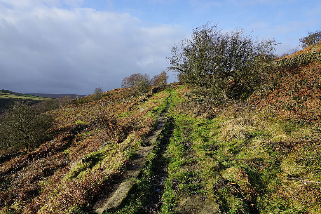
There are darker skies ahead as I resume walking up the bridleway
At the top of the bridleway, and looking back across Newsholme Dean to Nab Hill in the distance
and to the top of Newsholme Dean and Keighley Moor
Newsholme Dean from Greystones Lane
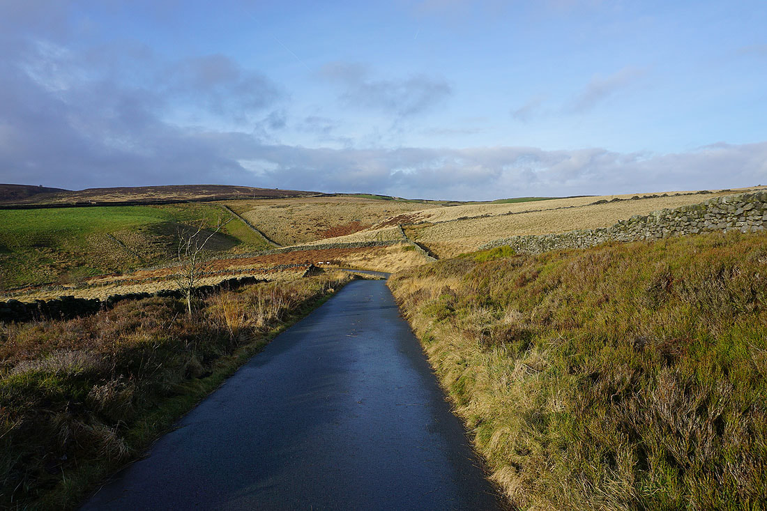
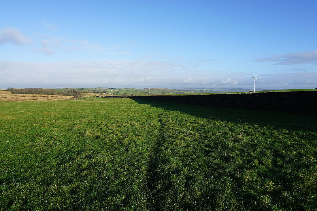
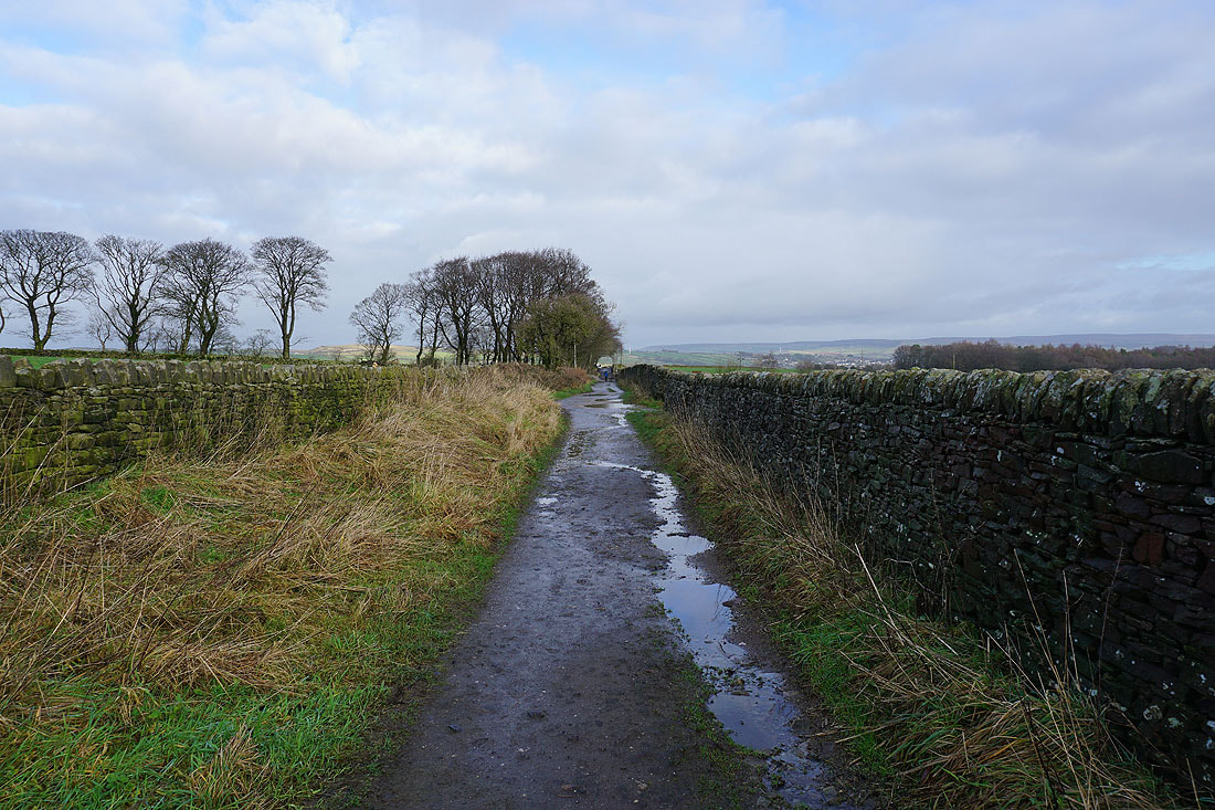
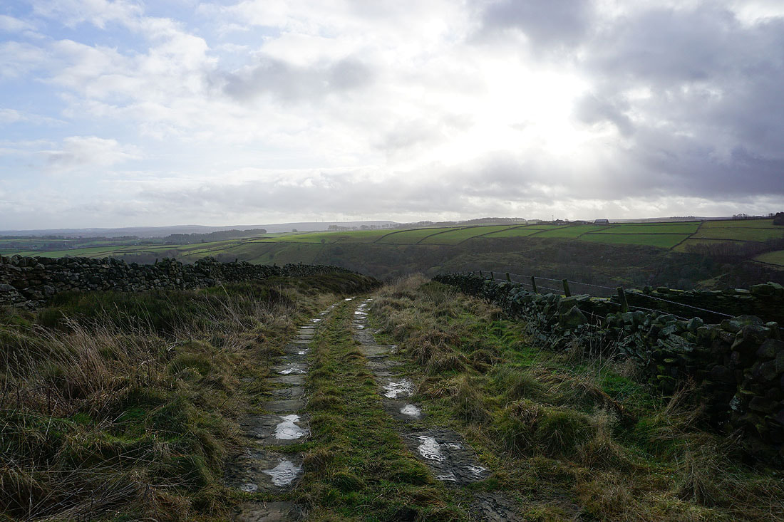
Heading west along Greystones Lane and Coppy Lane to Slippery Ford Lane
Keighley Moor from Slippery Ford Lane
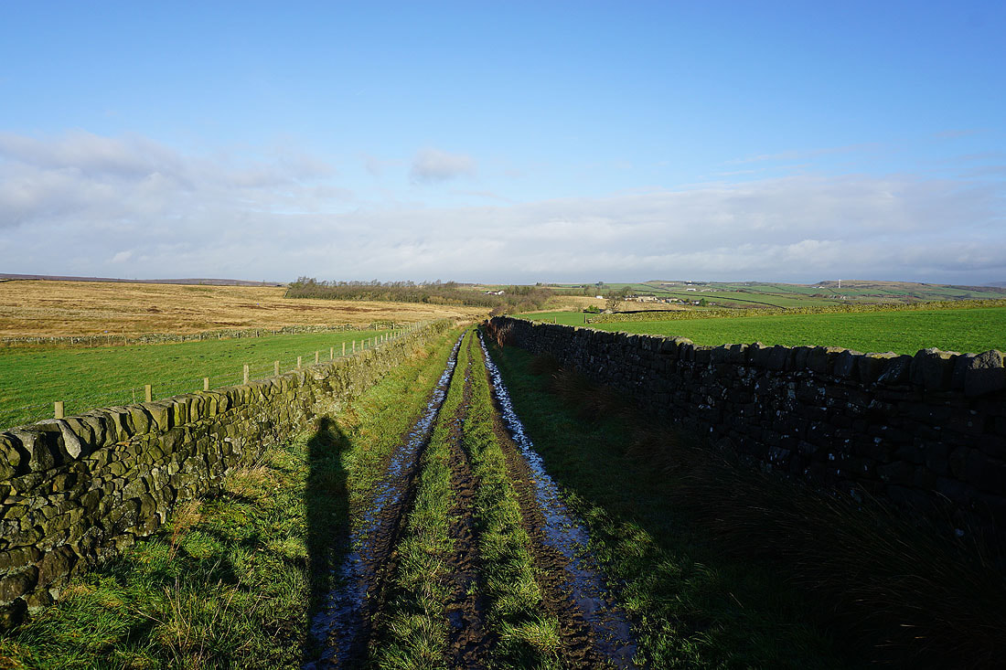
Heading south along Slippery Ford Lane to Middle Slippery Ford Barn..
..and to Slitheroford Farm, and then down to Morkin Bridge
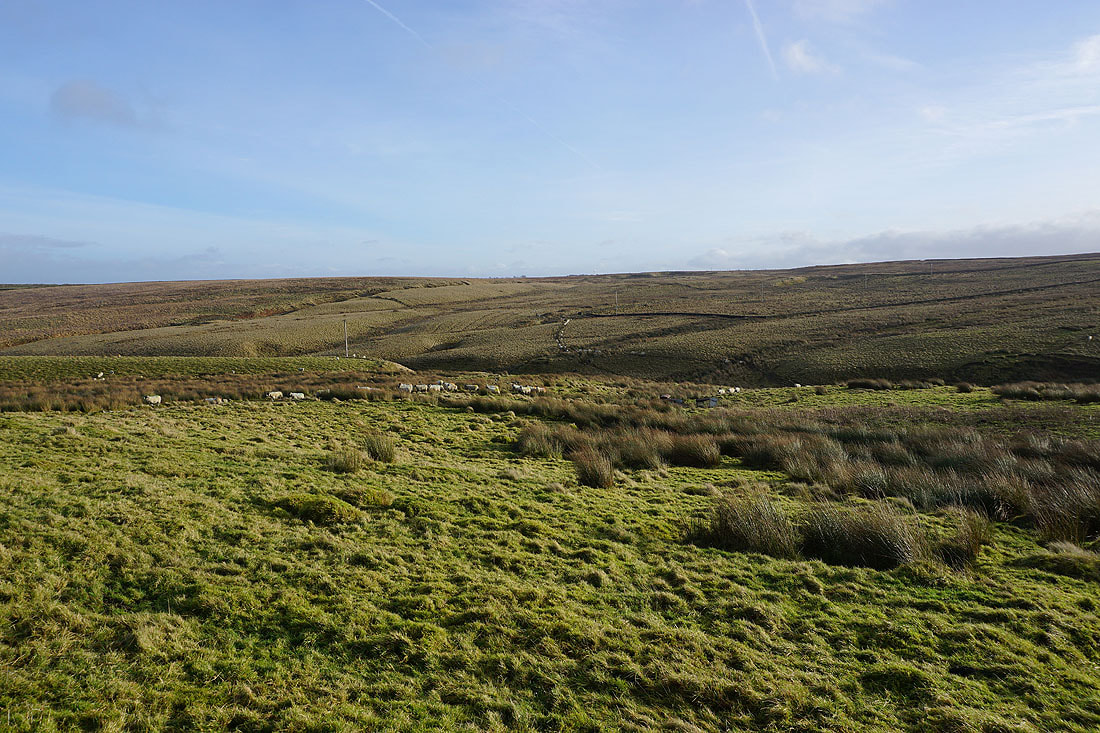
There's a long line of sheep crossing the moor as I walk up the lane to Keighley Moor Reservoir. I think they're expecting someone to feed them.
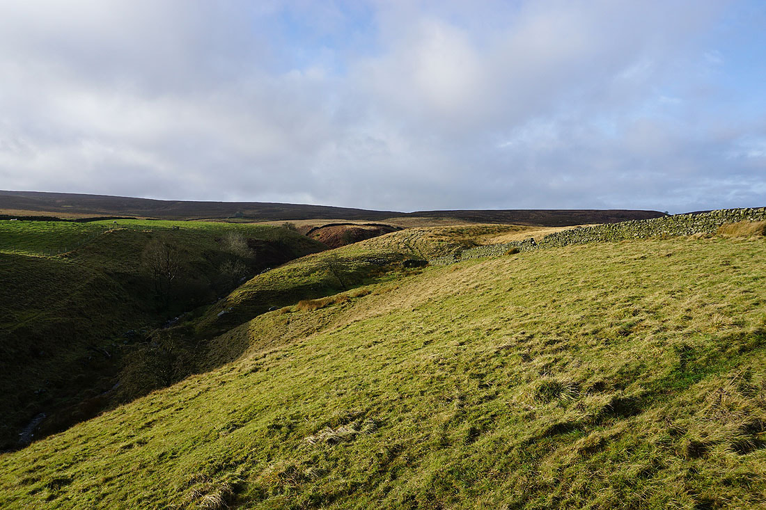
Looking back to Grey Stones Hill and Newsholme Dean
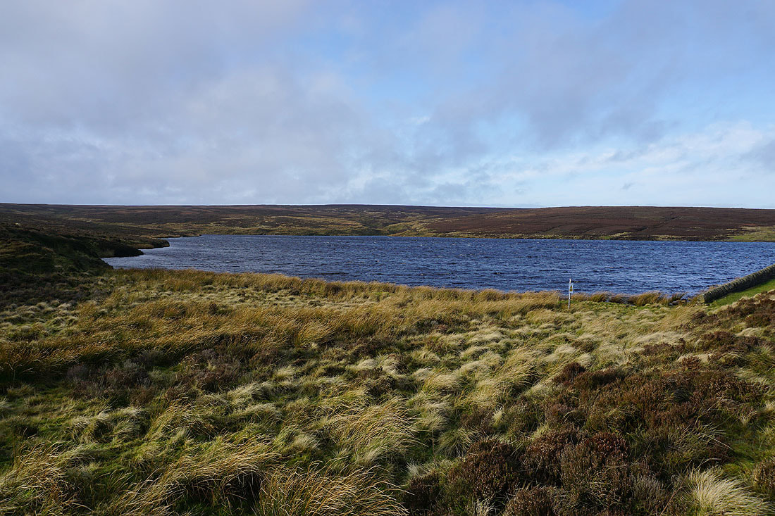
By Keighley Moor Reservoir
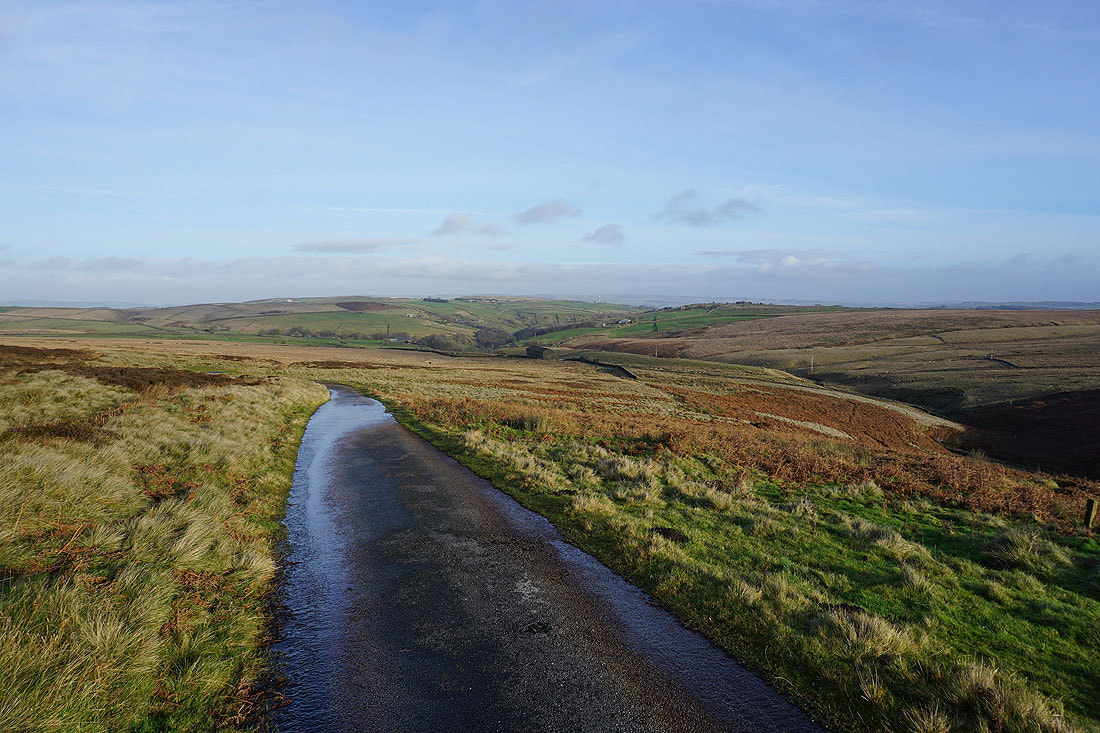
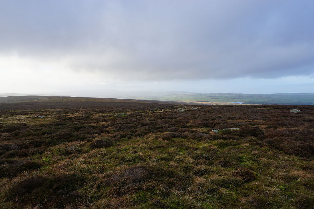
Looking back from the path up to the Pennine Way to Newsholme Dean and the moorland around Airedale
and across the Worth Valley to the moorland around Oxenhope
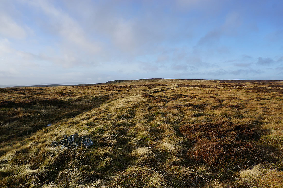
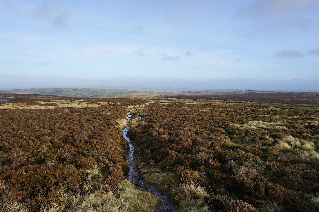
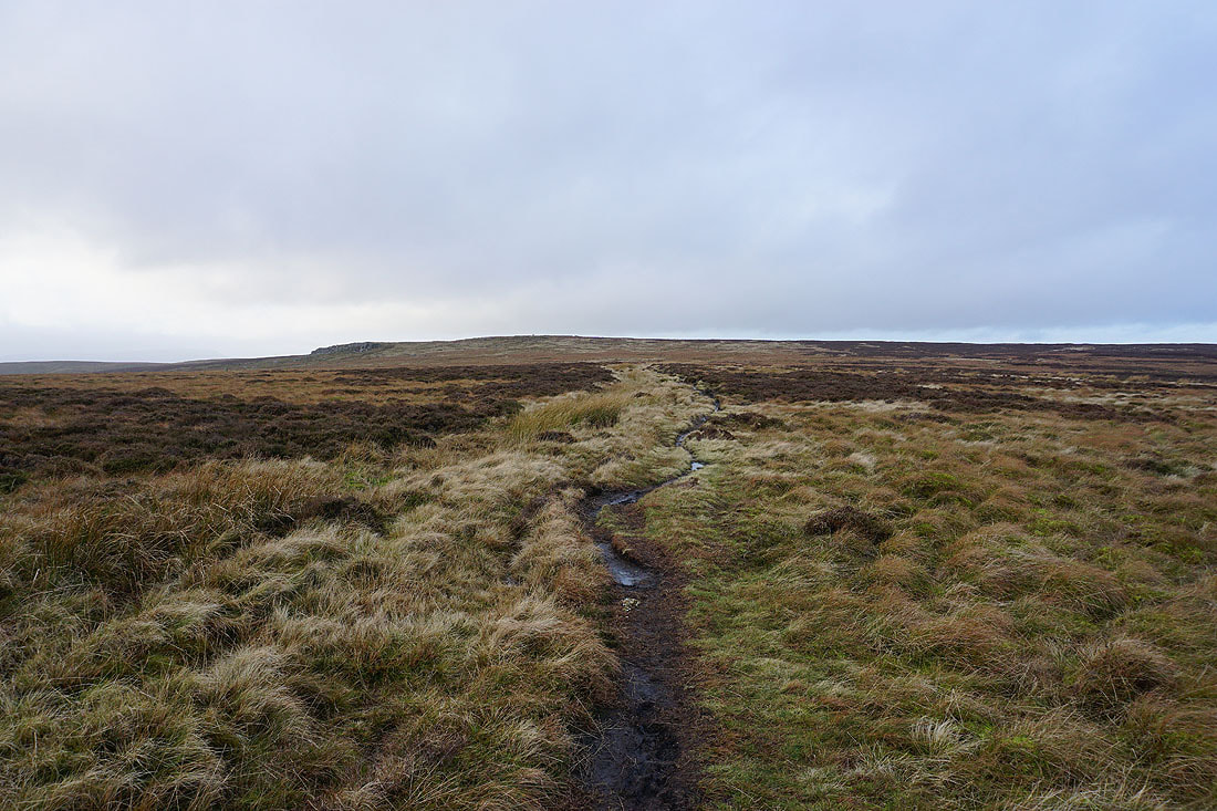
On the Pennine Way and the gritstone edge of Wolf Stones appears ahead
Boulsworth Hill to the left
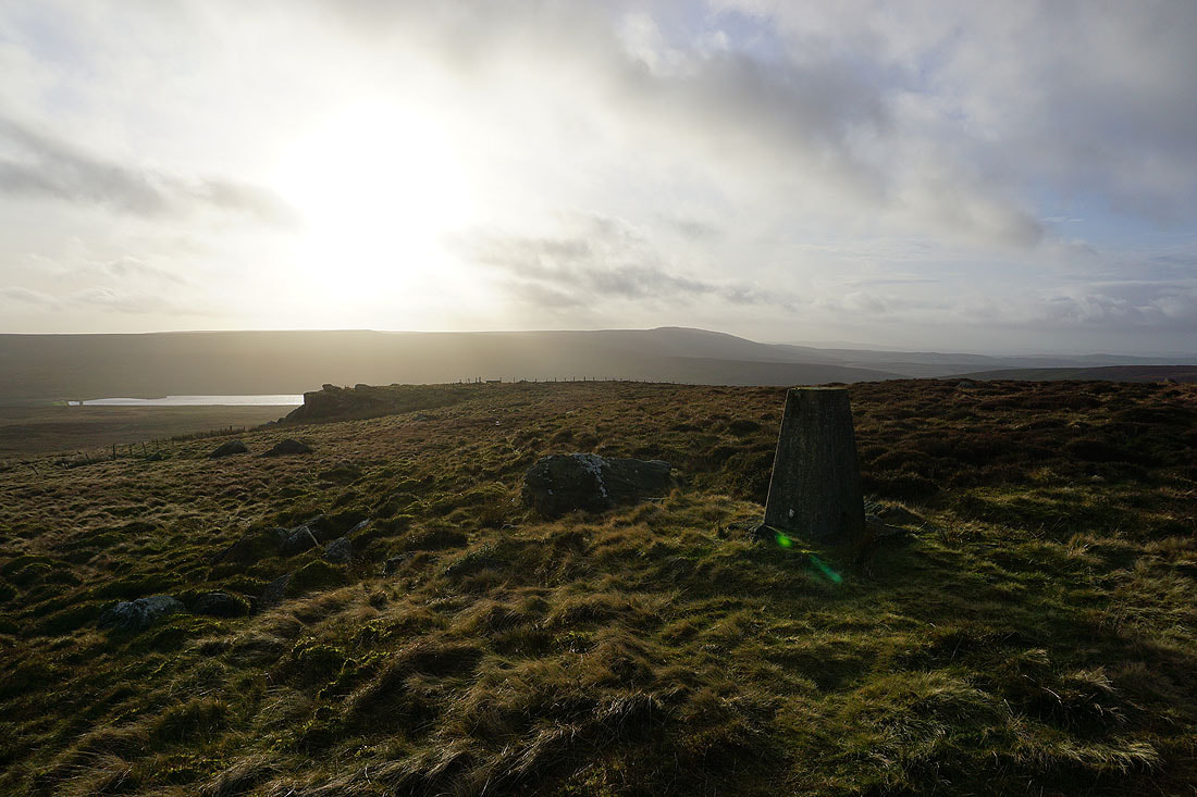
Watersheddles Reservoir and Boulsworth Hill from the trig point on Wolf Stones
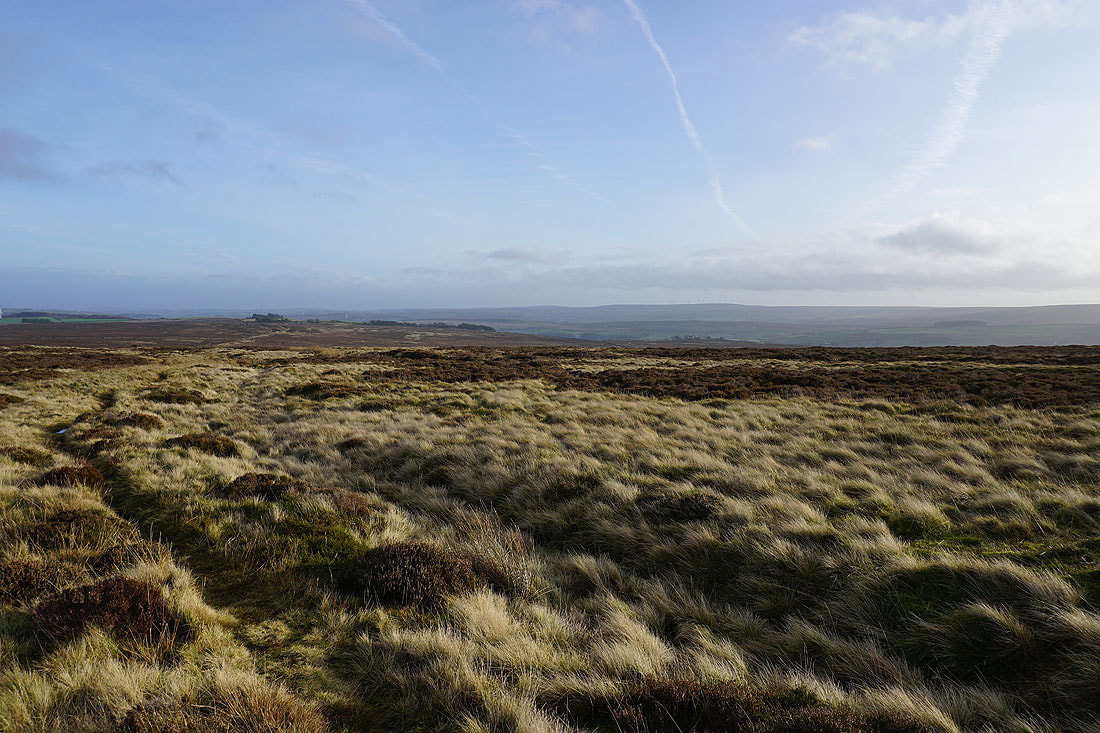
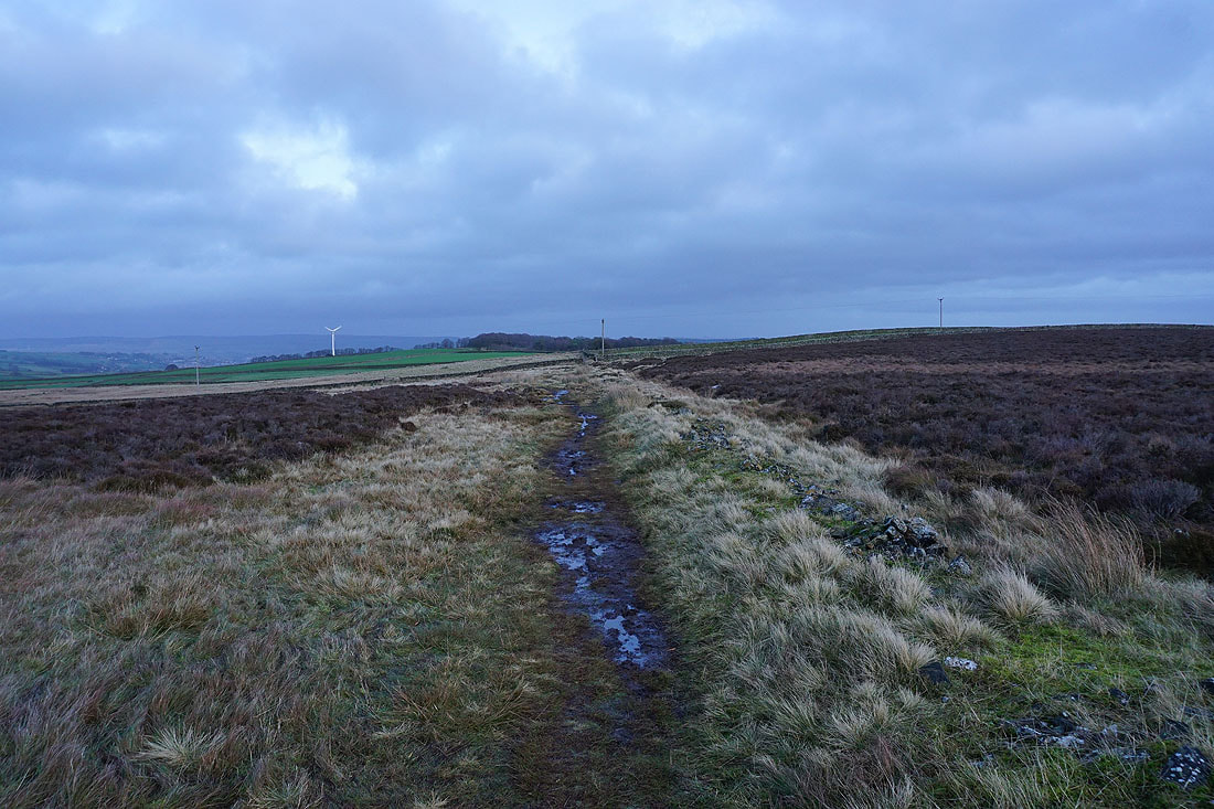
Looking east across Oakworth Moor
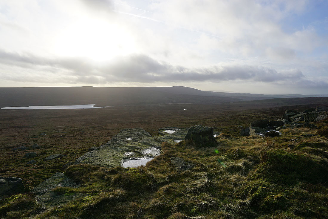
Watersheddles Reservoir and Boulsworth Hill from the gritstone edge of Wolf Stones
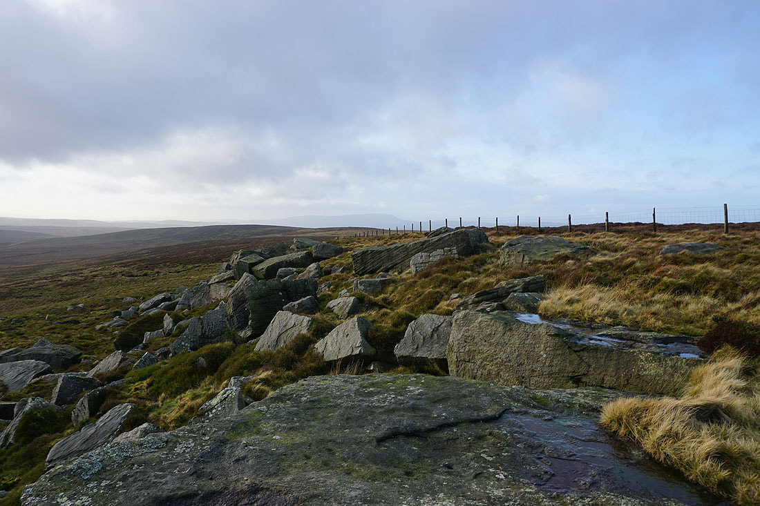
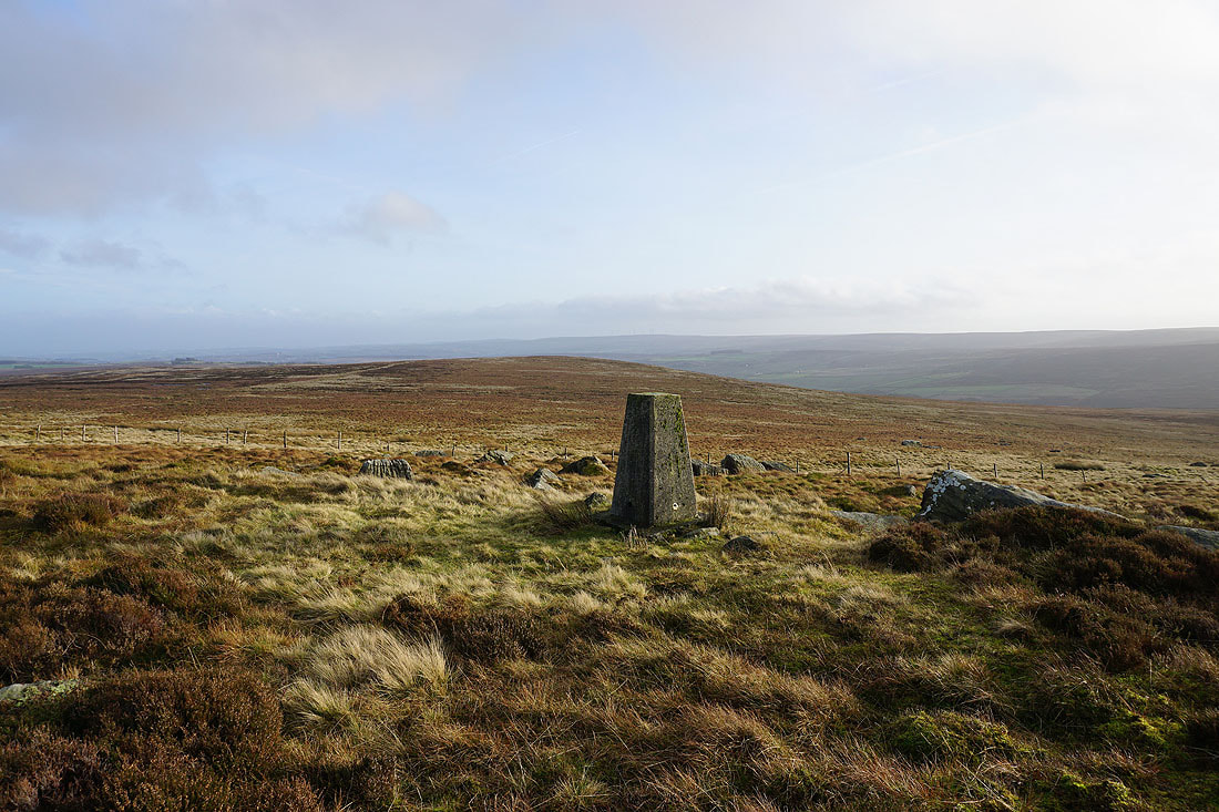
Pendle Hill in the distance to the west
Back up on the top of Wolf Stones. I can just about make out Pendle Hill and the moors around home, even though they're just a few miles away.
Looking back towards Wolf Stones as I return east on the Pennine Way
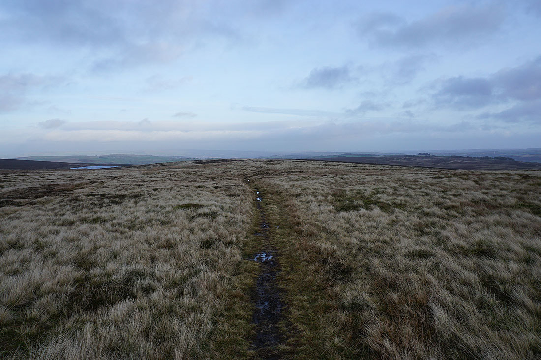
Heading back to Keighley Moor Reservoir
Looking across the Worth Valley to Stanbury Moor
I return to Hare Hill and where I set off from this morning

Stanbury Moor and Ponden Clough as I make it back to the layby on Harehills Lane