31st January 2021 - To Kelbrook Moor and Knarrs Hill and back
Walk Details
Distance walked: 11.9 miles
Total ascent: 1731 ft ascent
OS map used: OL21 - South Pennines
Time taken: 6.5 hrs
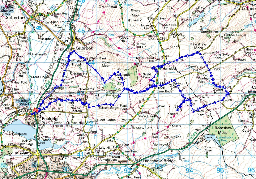
Route description: Foulridge-Skipton Old Road-Kelbrook-Cob Lane-Kelbrook Moor-Harwes Farm-Piked Edge-Burnt Hill-Hawshaw Road-Tom Lane-Stone Head Lane-Hill End Lane-Sandyforth Lane-Knarr End Farm-Pennine Bridleway-Knarrs Hill-Pennine Bridleway-Warley Wise Lane-Black Lane Ends-Piked Edge-Harwes Farm-Great Edge-Cob Lane-Noyna Hill-Skipton Old Road-Foulridge
After two weekends in a row of Weets Hill I had to go somewhere different for this weekend's walk, which basically means heading onto the moors to the east of where I live. Familiar territory was taken in, Kelbrook Moor, Piked Edge and Burnt Hill; but to make the walk that bit longer I went further east by walking along the lanes above the western end of Lothersdale before returning via Knarrs Hill and the Pennine Bridleway to Black Lane Ends and Piked Edge. It was a cold and frosty day with mostly grey skies, but it did brighten up into the afternoon with some hazy sunshine from time to time.
From where I live in Foulridge I made my way up to the A56, crossed it and walked north along Skipton Old Road to Kelbrook, and then up Cob Lane until I reached the track on the left to Harden New Hall. I took the public footpath from here up onto Kelbrook Moor, following a wall uphill to reach the trig point, then a path down to the edge of access land at Harwes Farm. I then followed the public footpath from Harwes Farm to Piked Edge, the path north and the Pennine Bridleway to Burnt Hill, and then the track on Burnt Hill east to reach Skipton Old Road. After a brief walk north along Skipton Old Road I took Hawshaw Road on the right and followed this east before heading south down Tom Lane. When I reached a crossroads I stopped at a conveniently placed bench and had my lunch. I then walked south from the crossroads along Stone Head Lane, then up Hill End Lane and Sandyforth Lane to reach the Mosside Kennels & Cattery, where I carried on west and then north along a track to Sedgemoor House. I took the public footpath from here to Knarr End Farm and then up to the Pennine Bridleway. After a there and back visit to the trig point on Knarrs Hill I followed the Pennine Bridleway north to Warley Wise Lane. I then walked west along Warley Wise Lane to Black Lane Ends and Black Lane Ends Tavern. I took the public footpath through the pub car park and up onto the hill of Piked Edge and then across fields to Harwes Farm, where I took the footpath southwest onto Great Edge. I then followed the path west down Great Edge and across Moss Houses Beck and up to Cob Lane, where I took the footpath from Noyna End Farm up onto Noyna Hill, and then the path west across its top and down to Skipton Old Road was followed. A short walk back to my home in Foulridge was left.
Route map
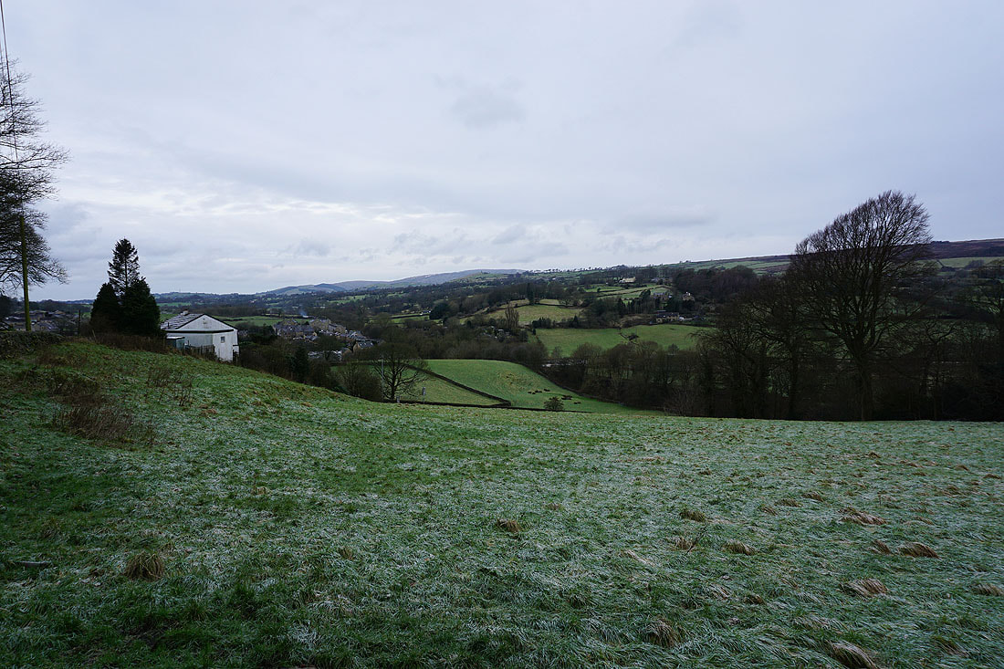
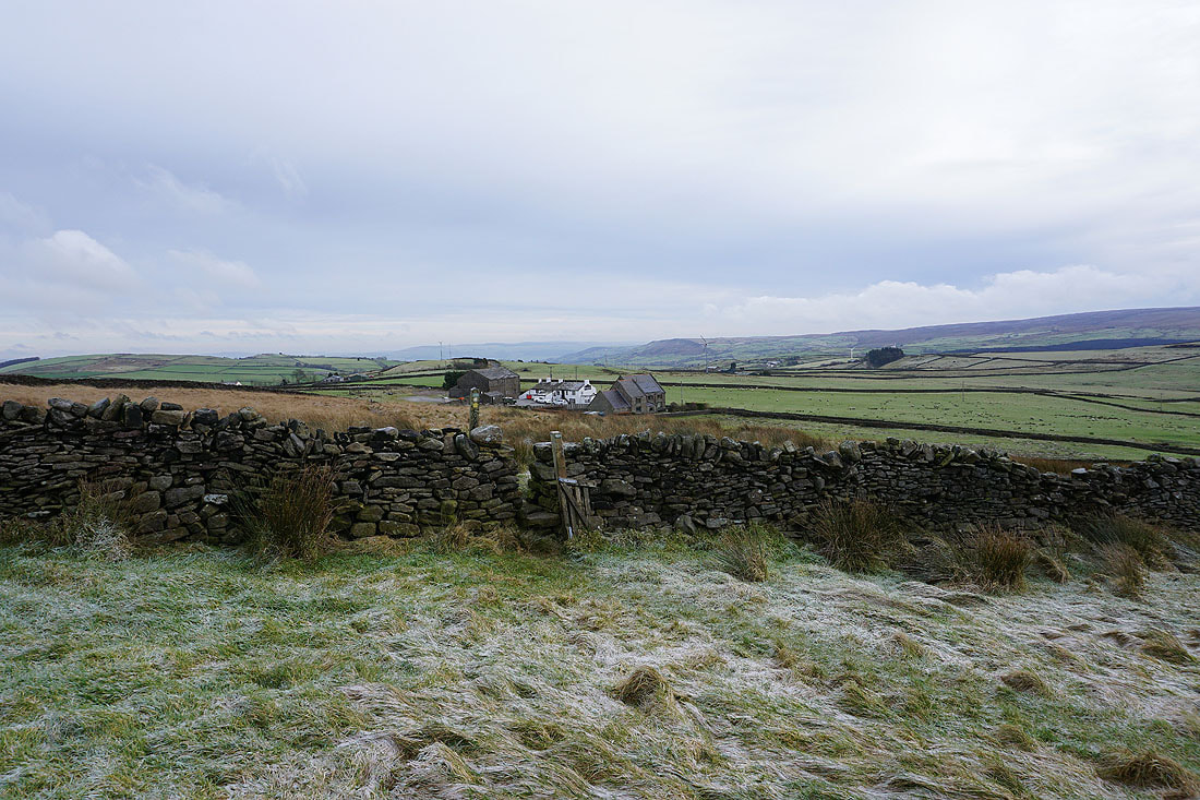
Above Foulridge on Skipton Old Road
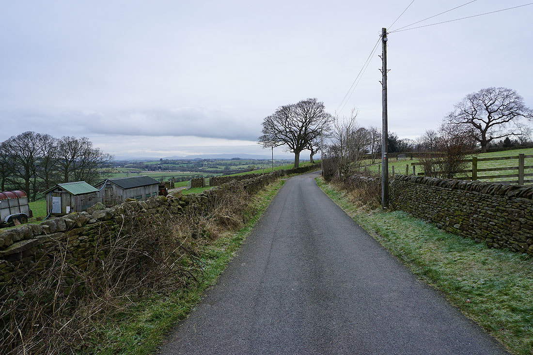
Heading north along Skipton Old Road to Kelbrook
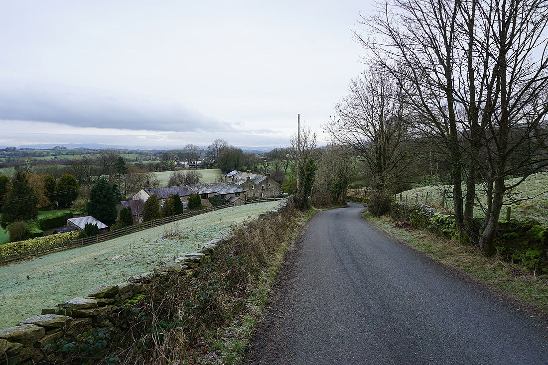
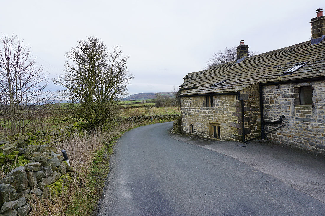
Through the hamlet of Old Stone Trough
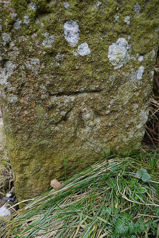
I hadn't noticed it before. An OS benchmark on a gatepost as I take the footpath from Cob Lane up onto Kelbrook Moor.
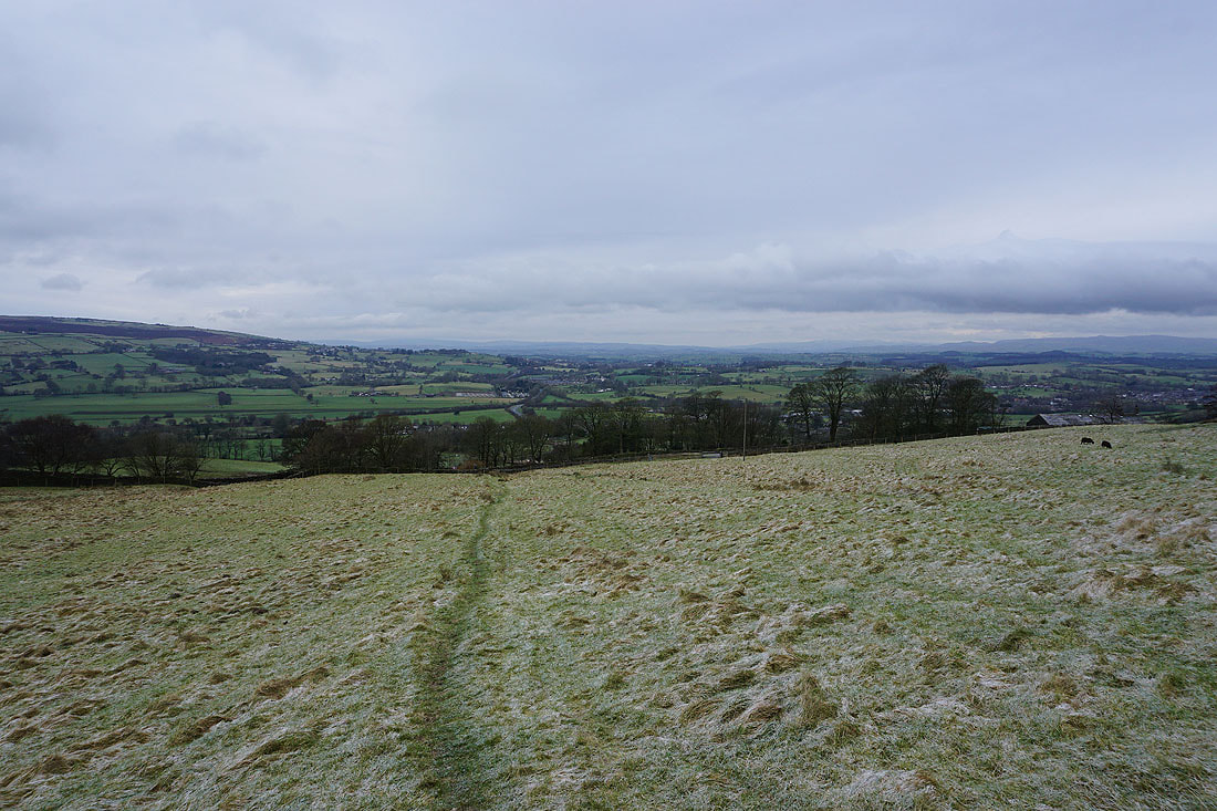
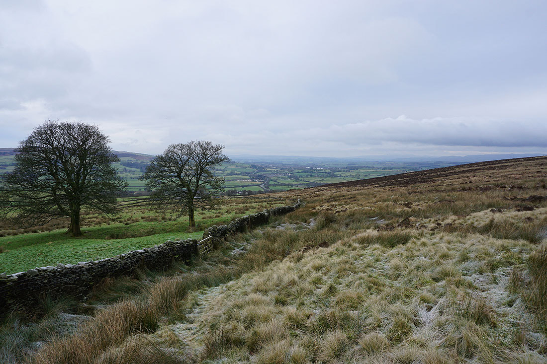
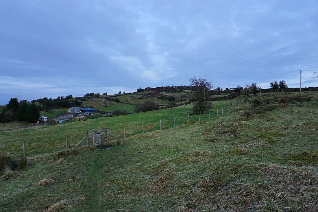
Looking back as I head up onto Kelbrook Moor..
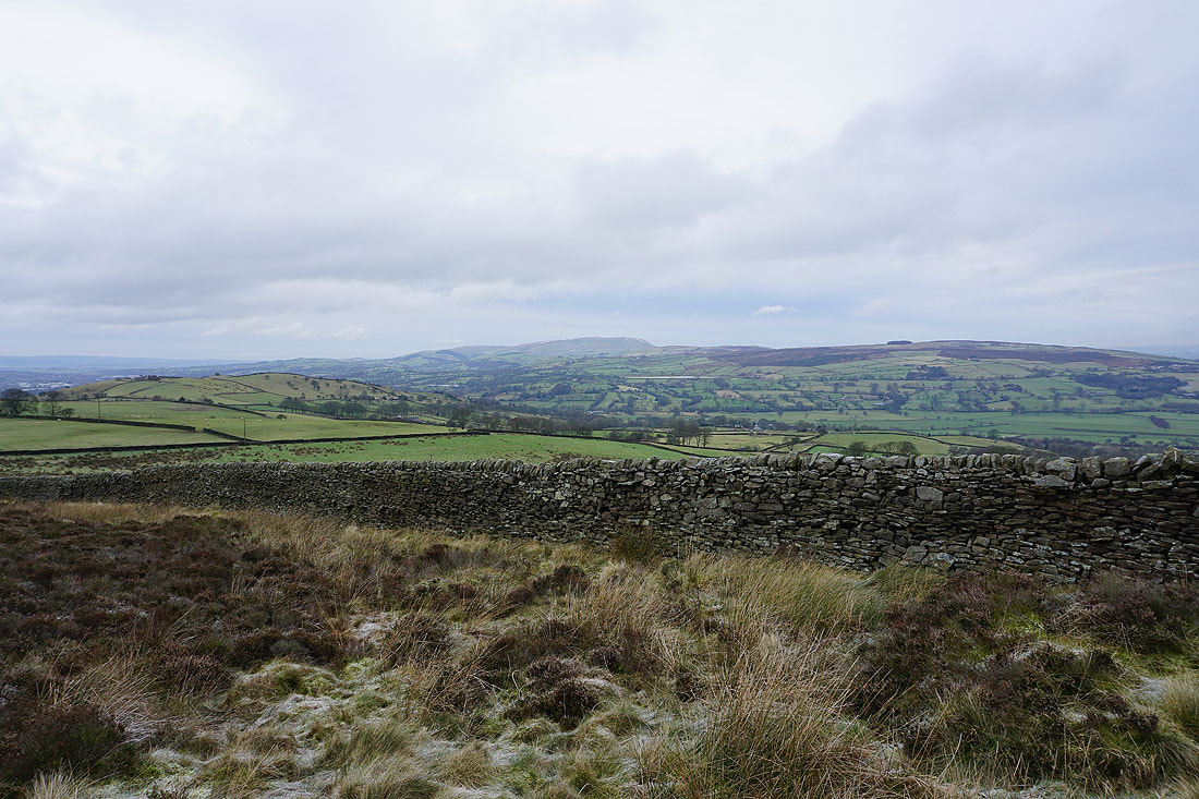
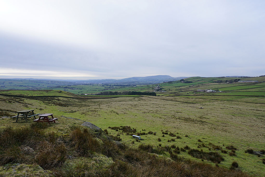
Pendle Hill in the distance as I make my way up to the trig point
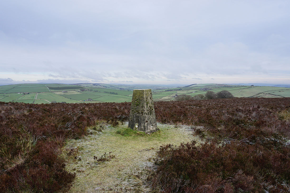
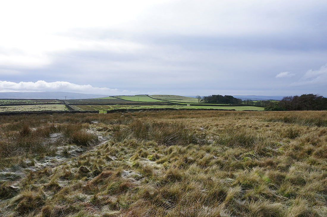
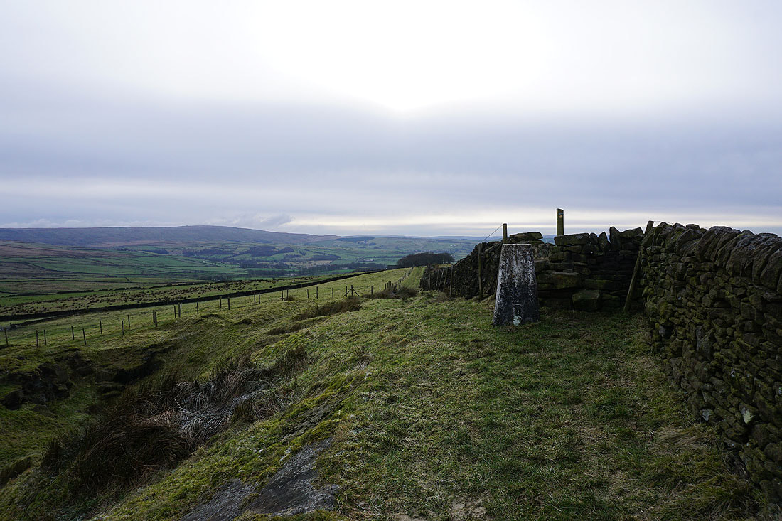
At the trig point on Kelbrook Moor. Looking east to the moors around Lothersdale.
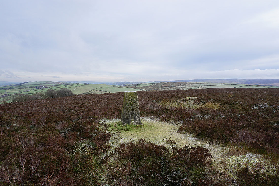
Looking towards Hawshaw Hill and Piked Edge, where I'll be heading to next
Boulsworth Hill in the distance
Pendle Hill and White Moor
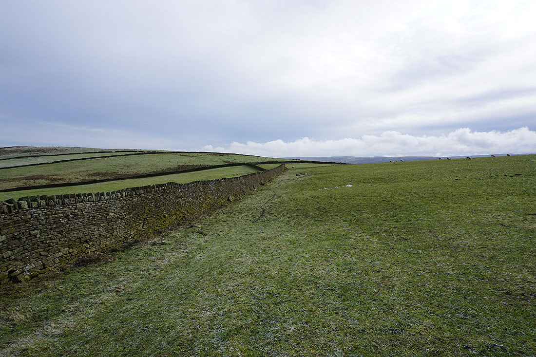
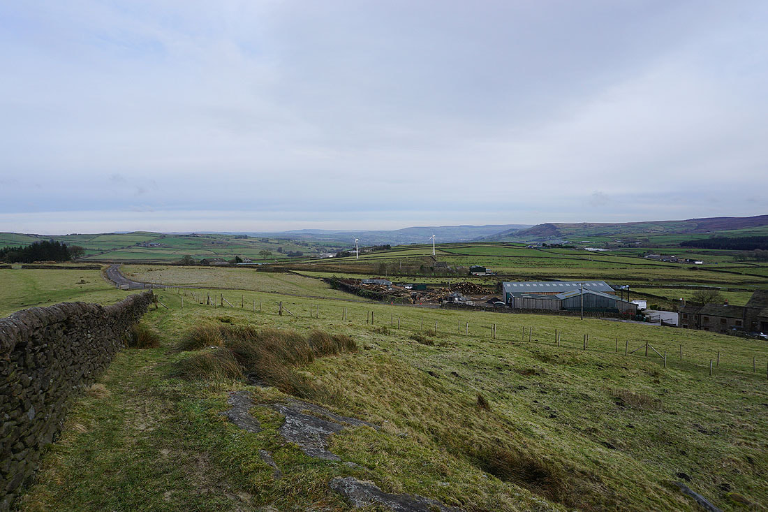
Great Edge as I make my way to the edge of access land at Harwes Farm
Heading to Piked Edge
Bleara Moor and Burnt Hill over the wall to my left
Pendle Hill from Piked Edge
Approaching Black Lane Ends
Piked Edge from Burnt HIll
The fells of the Forest of Bowland in the distance through the gap in the hills between Kelbrook Moor and Bleara Moor
Bleara Moor and Thornton Moor
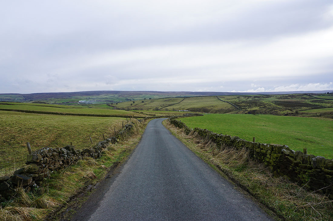
Heading east along Hawshaw Road
Boulsworth Hill in the distance
Looking back along Hawshaw Road with the top of Pendle Hill visible in the distance
Boulsworth Hill, Knarrs Hill and Piked Edge from Tom Lane
Ickornshaw Moor in the distance as I head down Stone Head Lane
Past Stone Head Farm
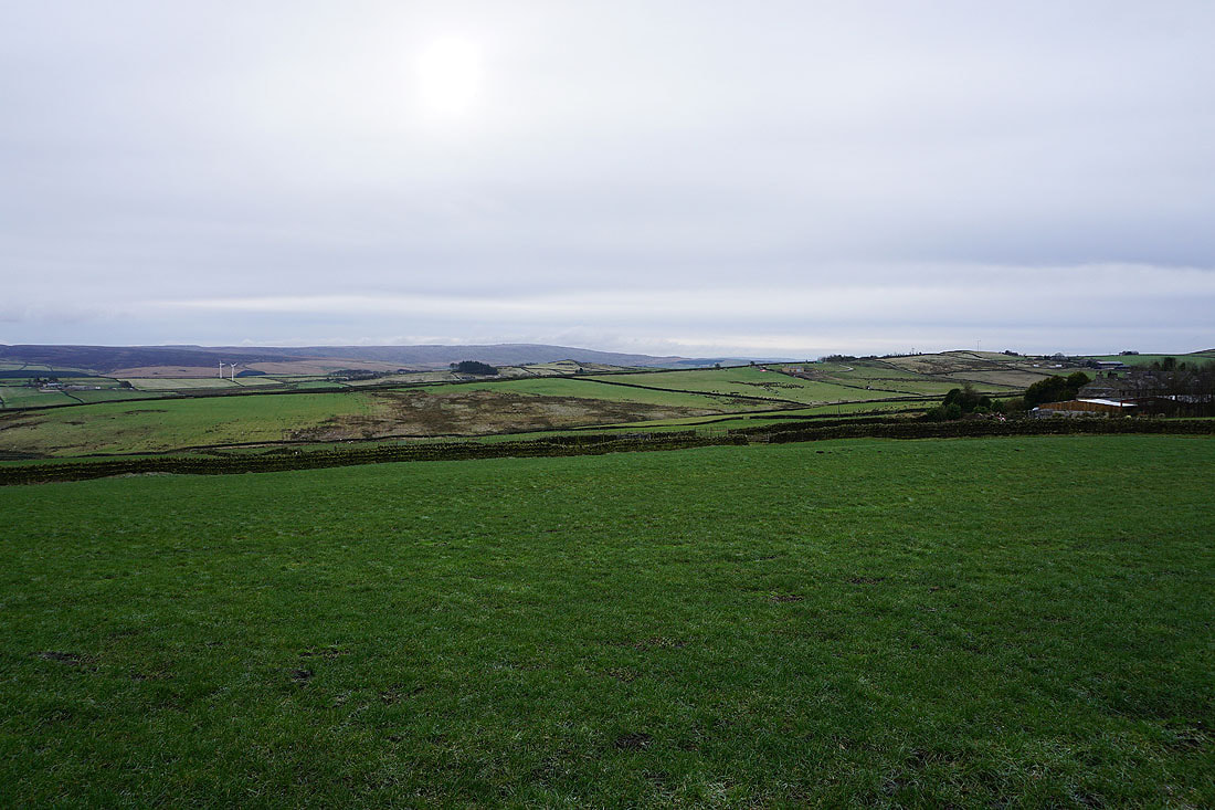
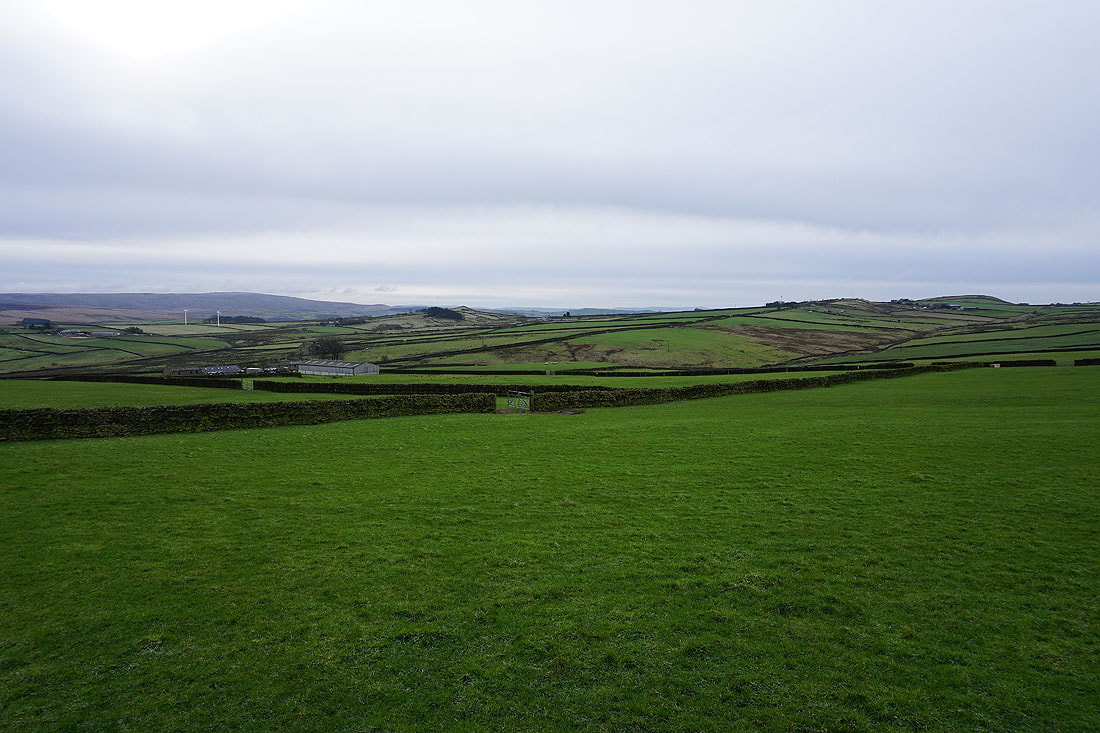
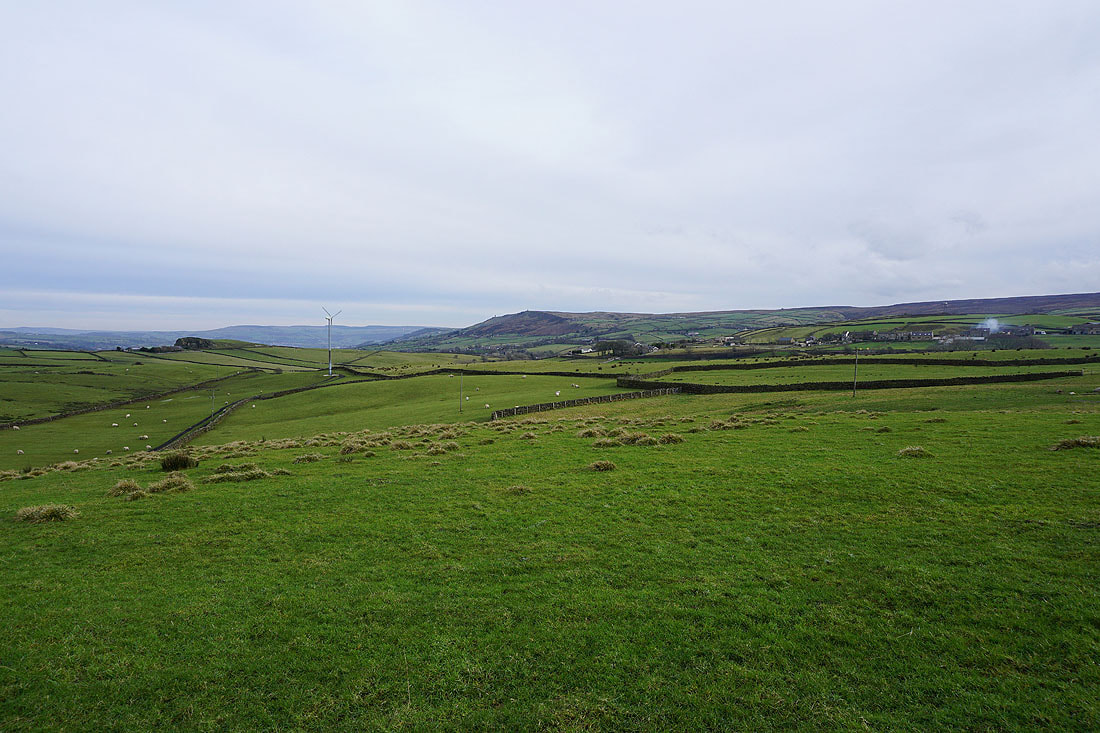
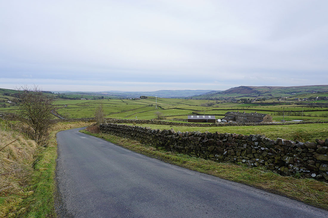
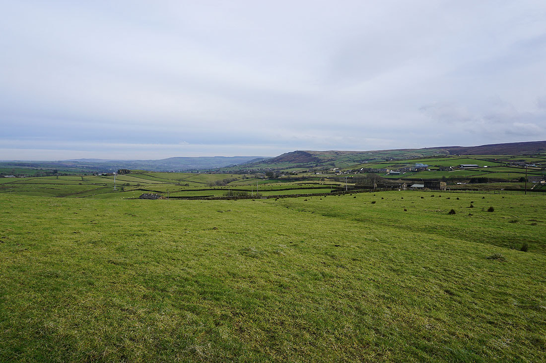
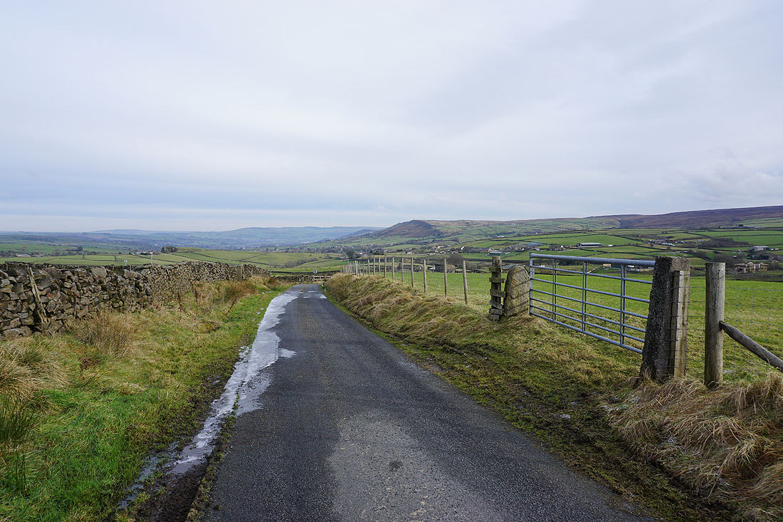
Views across to Earl Crag and the moors around Airedale as I head up Hill End Lane and Sandyforth Lane....
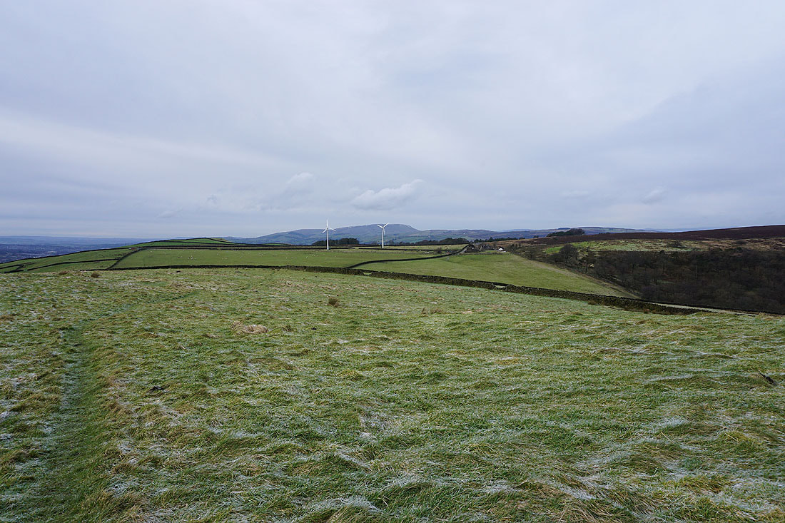
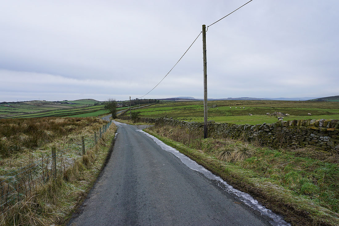
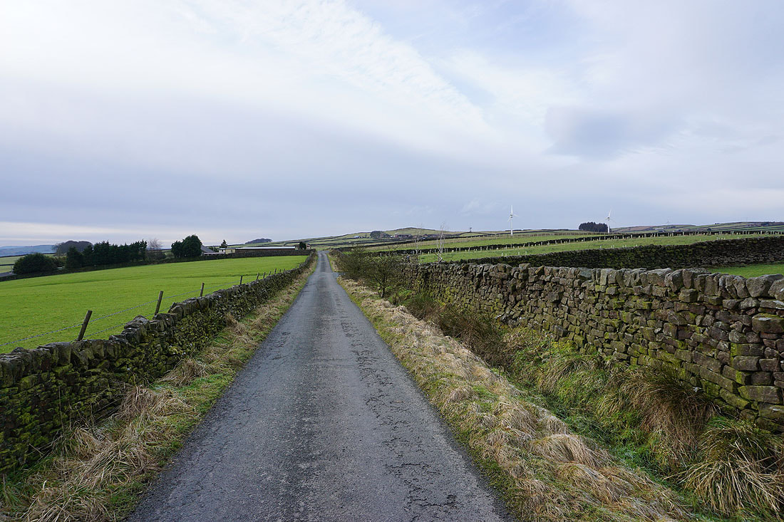
Heading west along Sandyforth Lane to Mosside Kennels and Cattery with Knarrs Hill in the distance
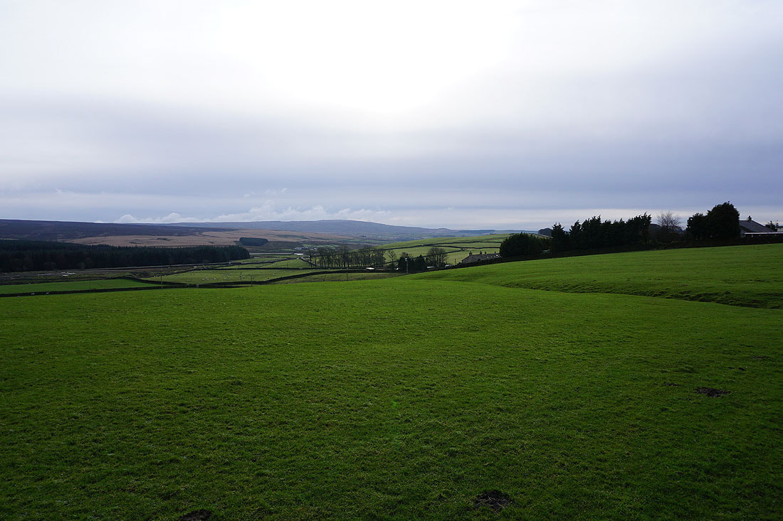
Looking towards Boulsworth Hill
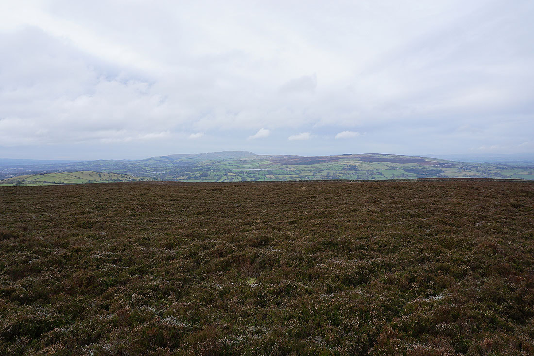
Pendle Hill from Knarrs Hill. Not exactly picnic weather today.
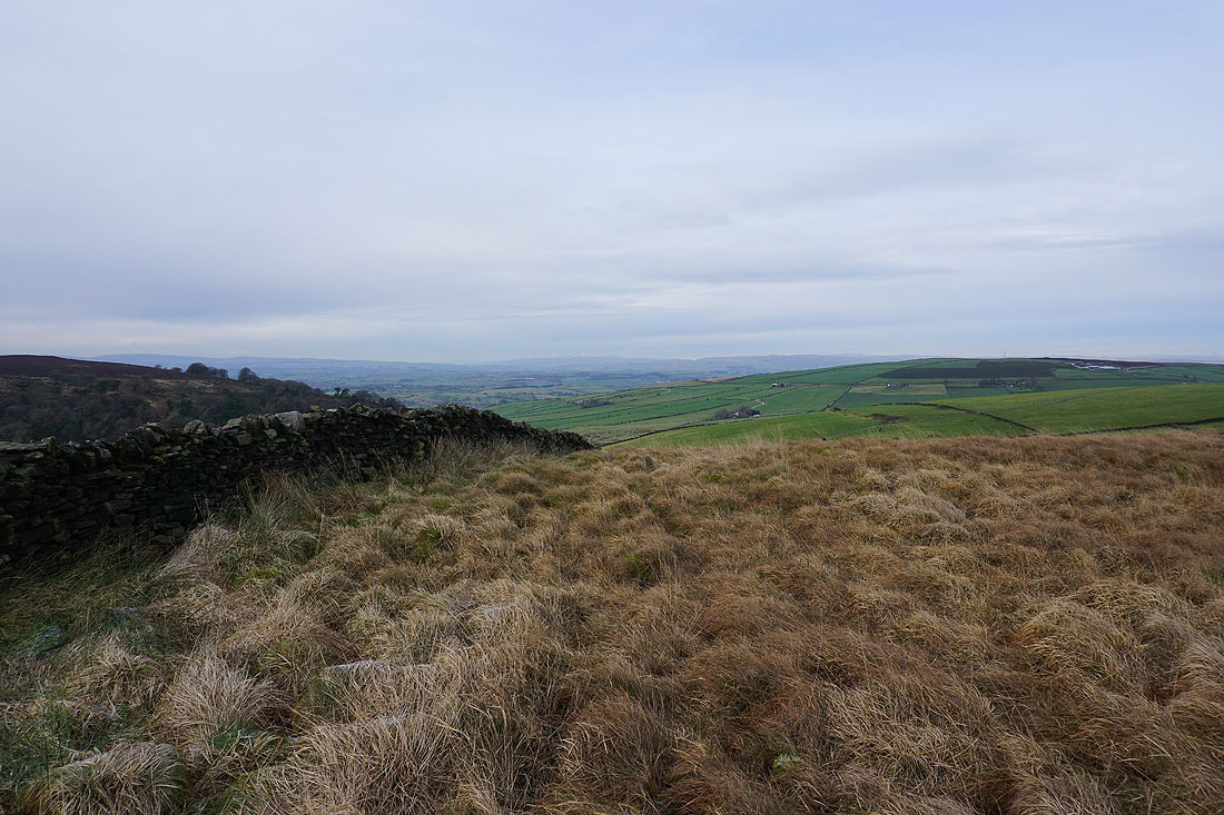
Looking east to Earl Crag and the moors around Airedale
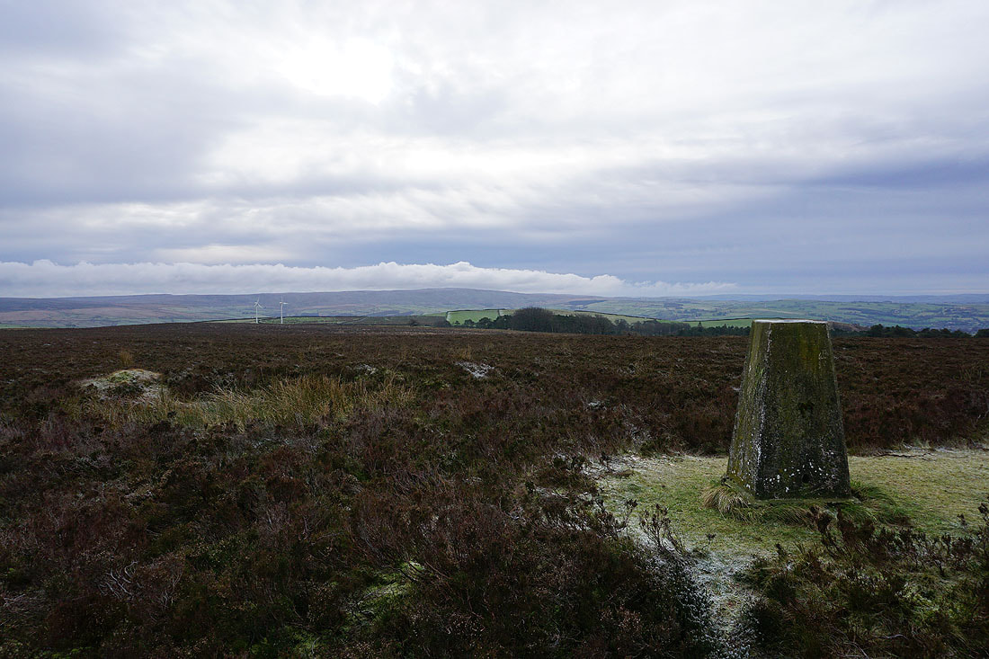
Boulsworth Hill on the left from the trig point
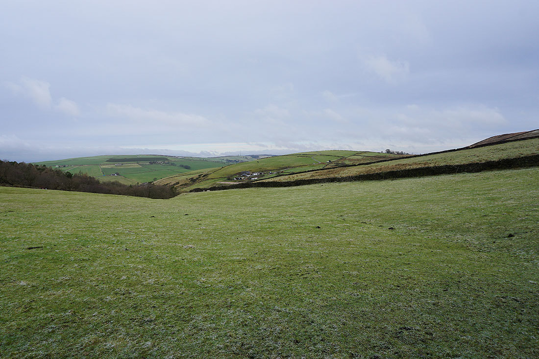
Looking back to Knarrs Hill as I follow the Pennine Bridleway up to Warley Wise Lane
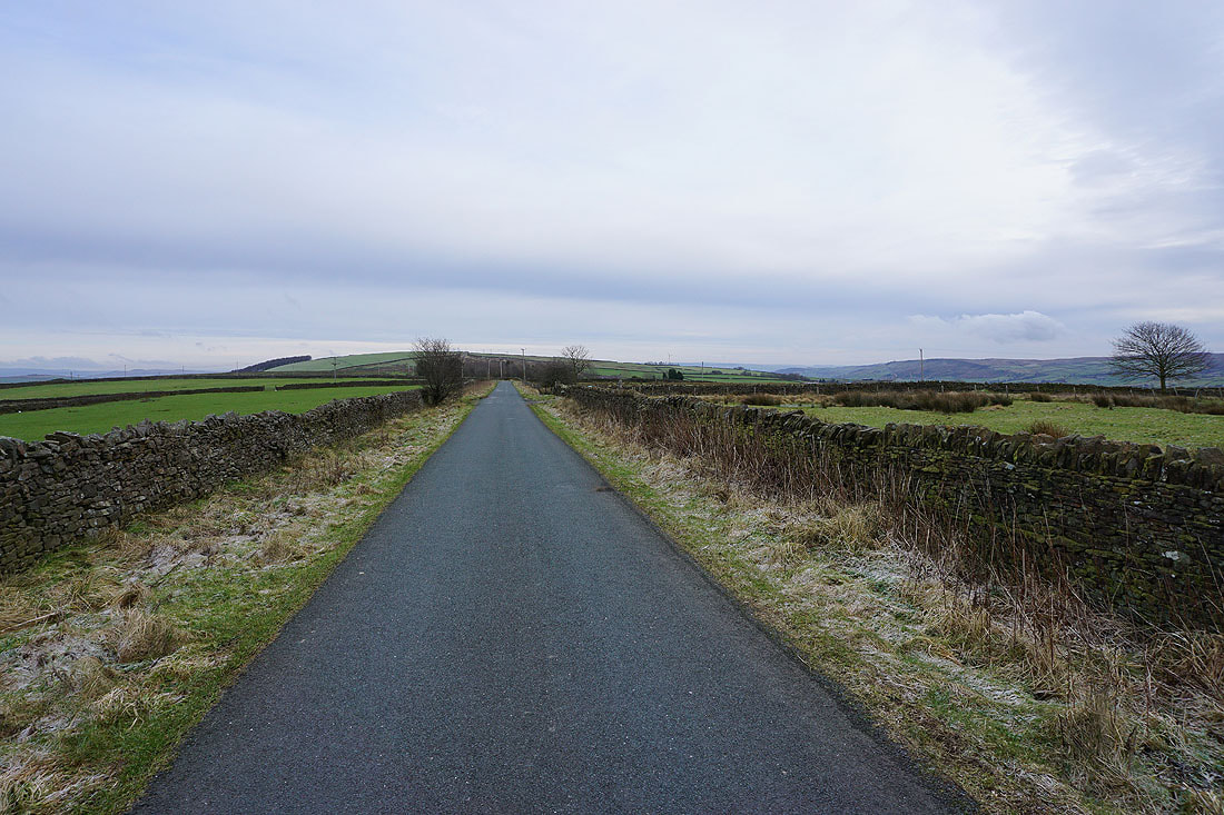
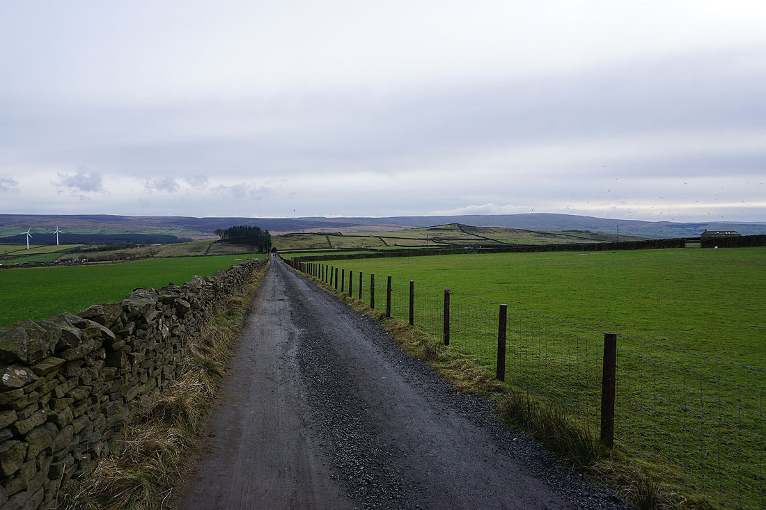
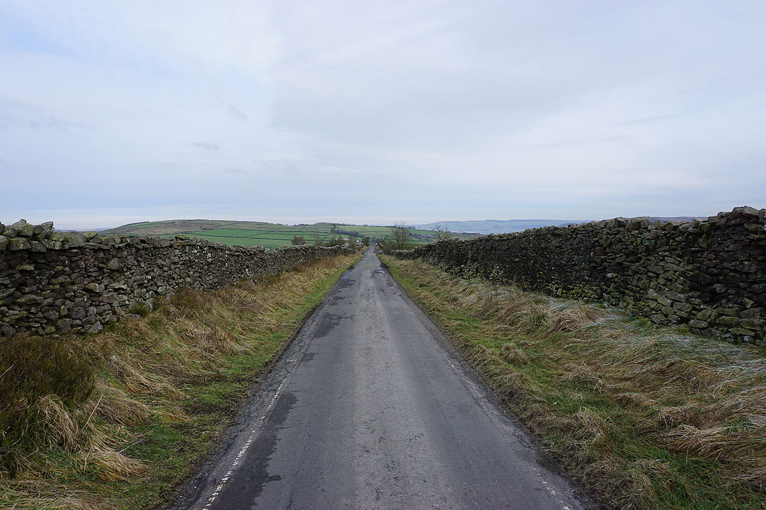
Looking east along Warley Wise Lane
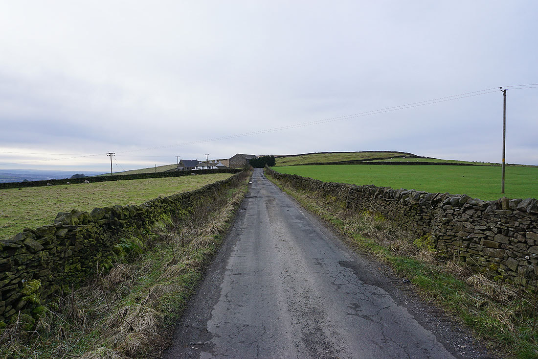
Approaching Black Lane Ends
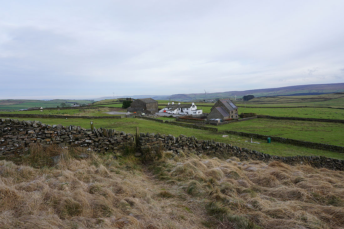
Looking back to Black Lane Ends as I head up onto Piked Edge
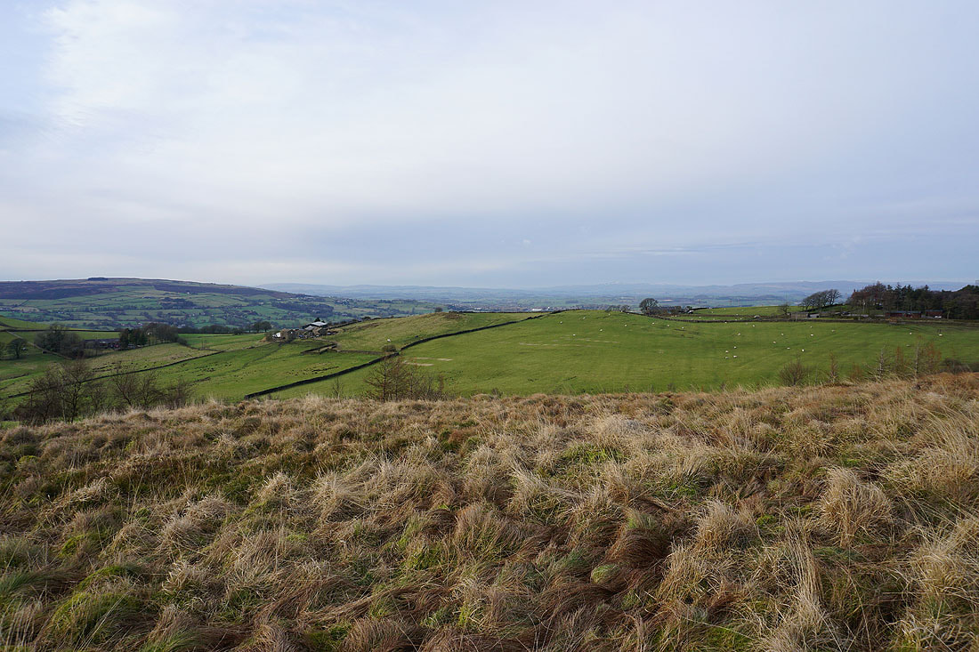
Ingleborough and the moors above Settle in the distance to the north
Pendle Hill from Piked Edge as I follow the path to Harwes Farm
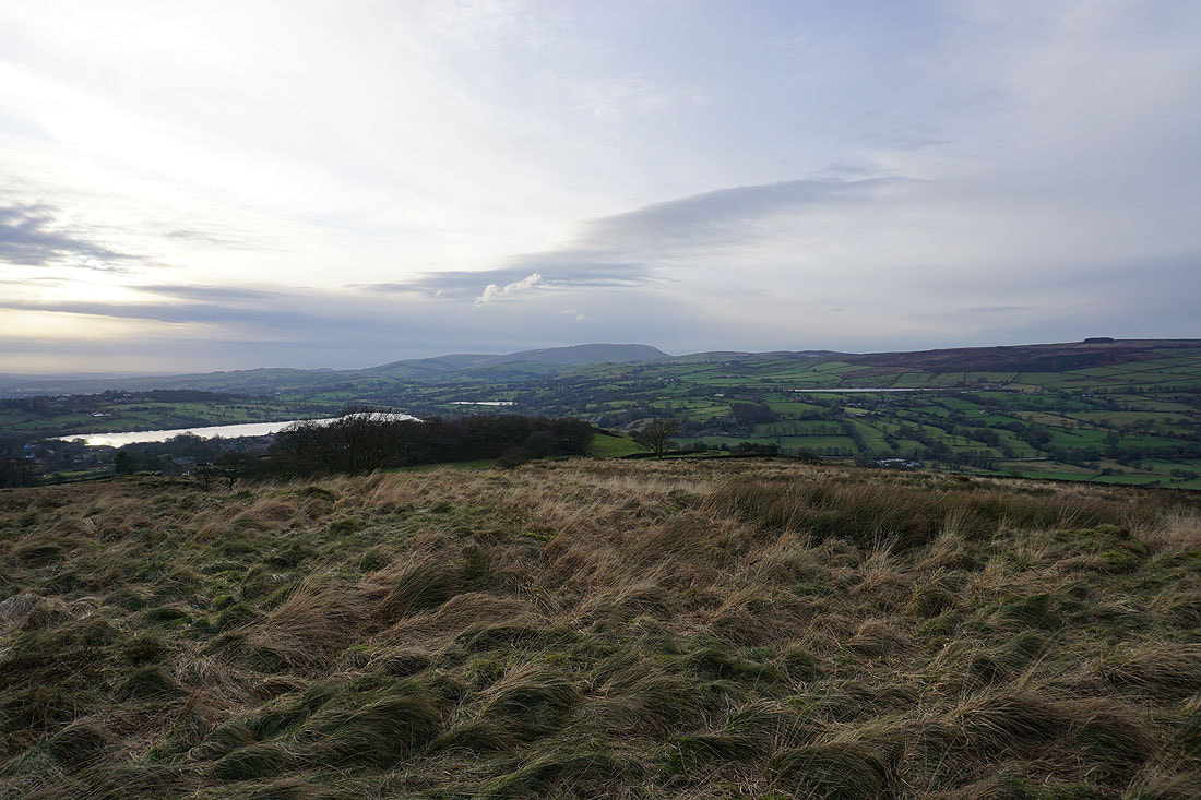
Foulridge Upper and Lower Reservoirs and Pendle Hill from Great Edge..
Boulsworth Hill and the Forest of Trawden
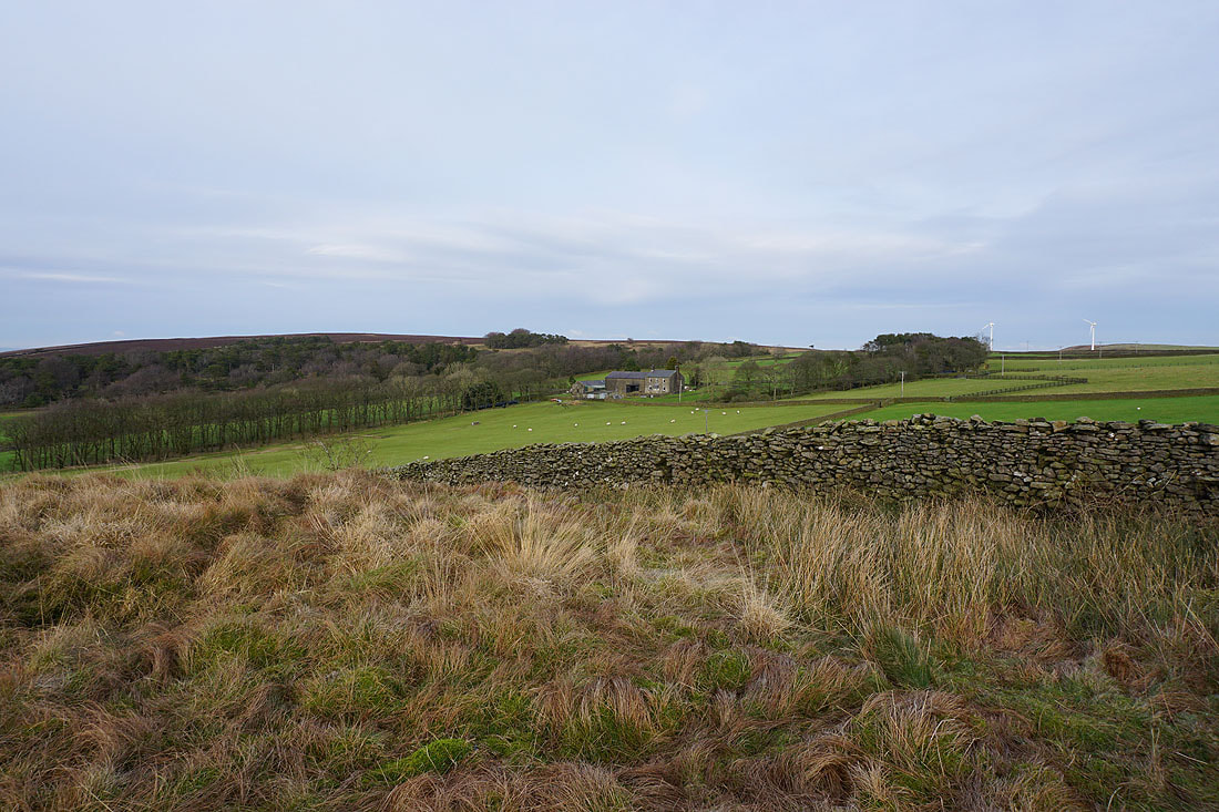
Kelbrook Moor and Great Edge Farm
The fells of the Forest of Bowland and Ingleborough through the gap in the hills to the north
Boulsworth Hill as I head up onto Noyna Hill
Colne and Foulridge Upper Reservoir
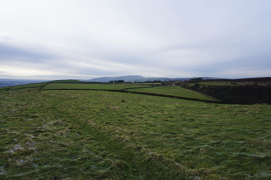
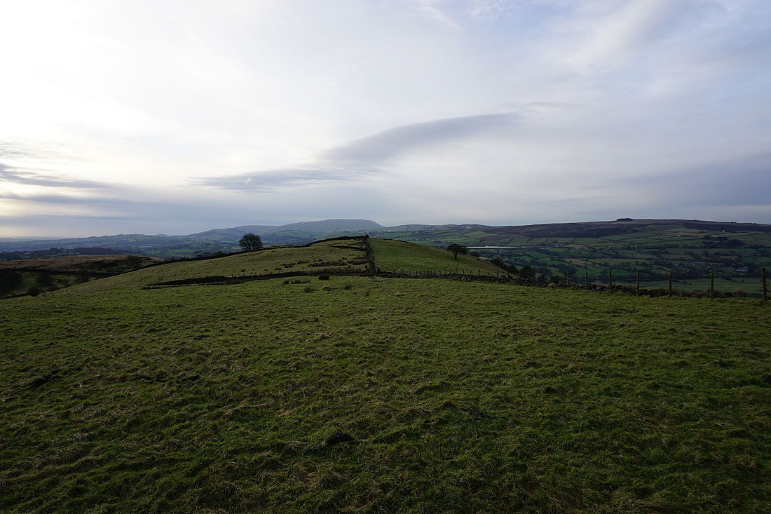
Looking across the top of Noyna Hill to Pendle Hill
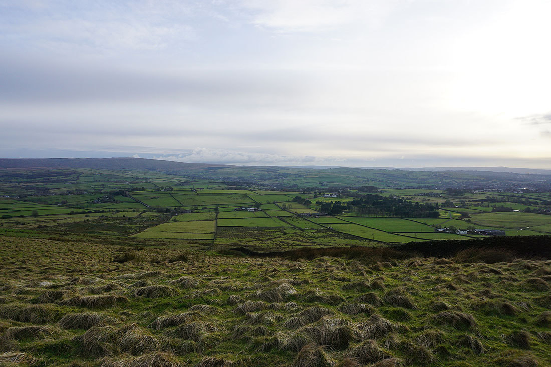
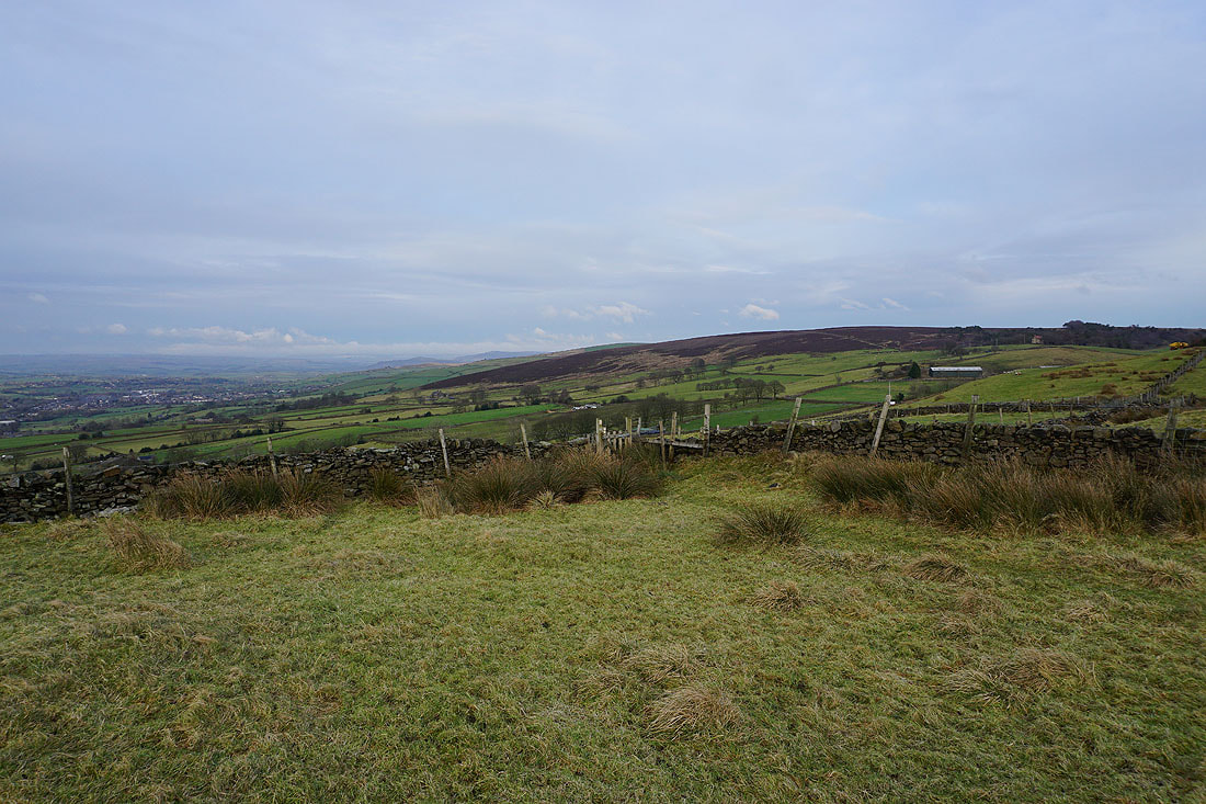
Kelbrook Moor
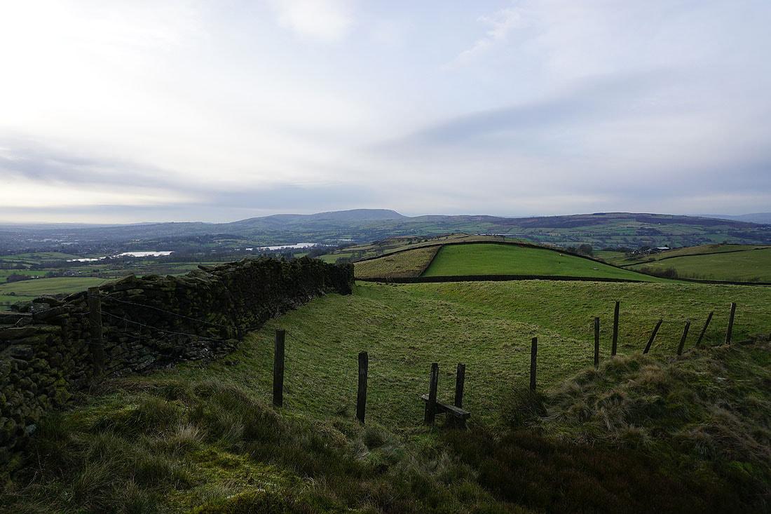
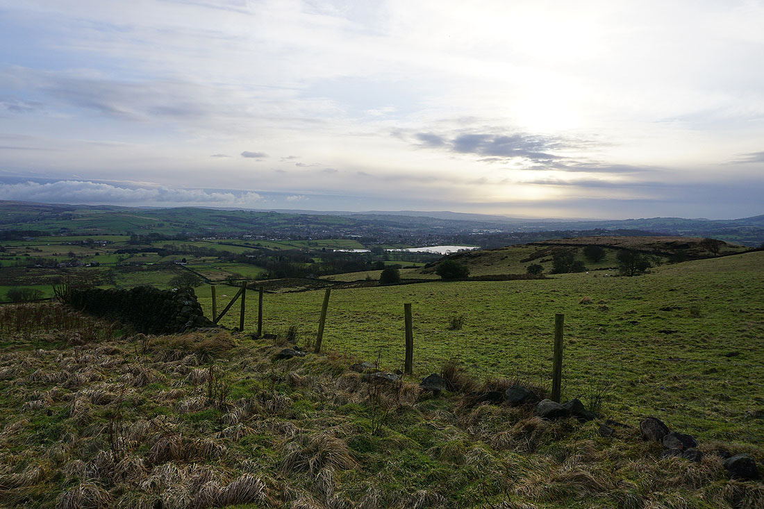
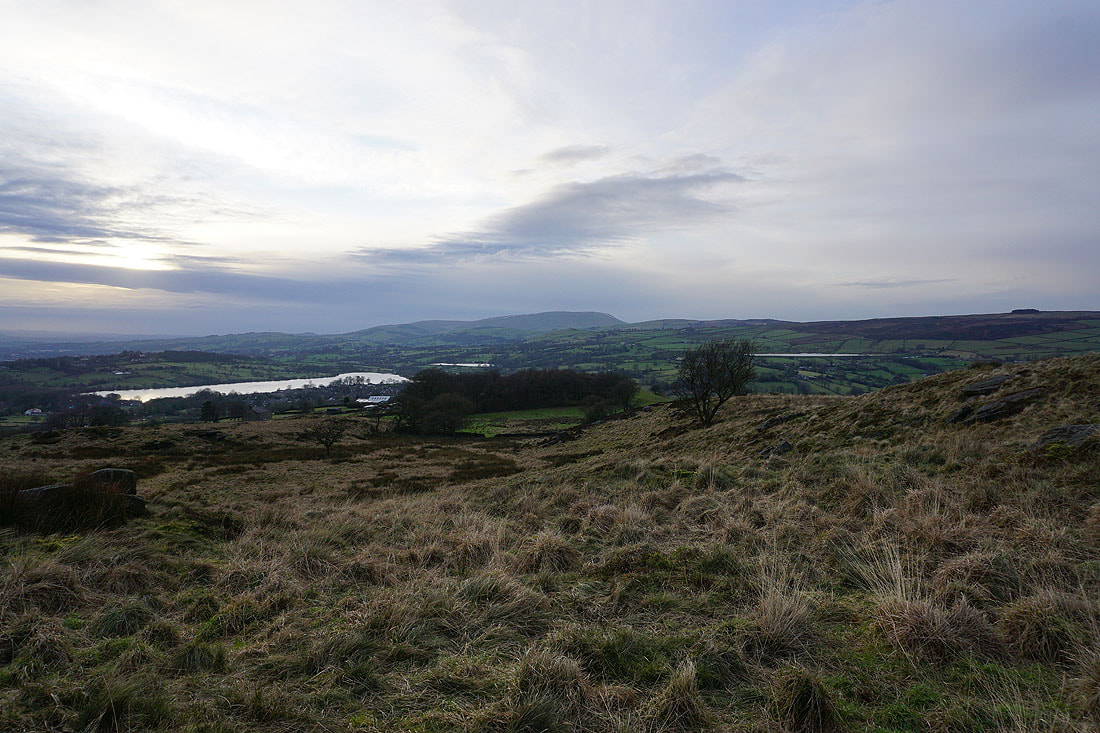
Pendle Hill from Noyna Hill. The three stretches of water are Foulridge Lower Reservoir, Slipper Hill Reservoir and Whitemoor Reservoir.
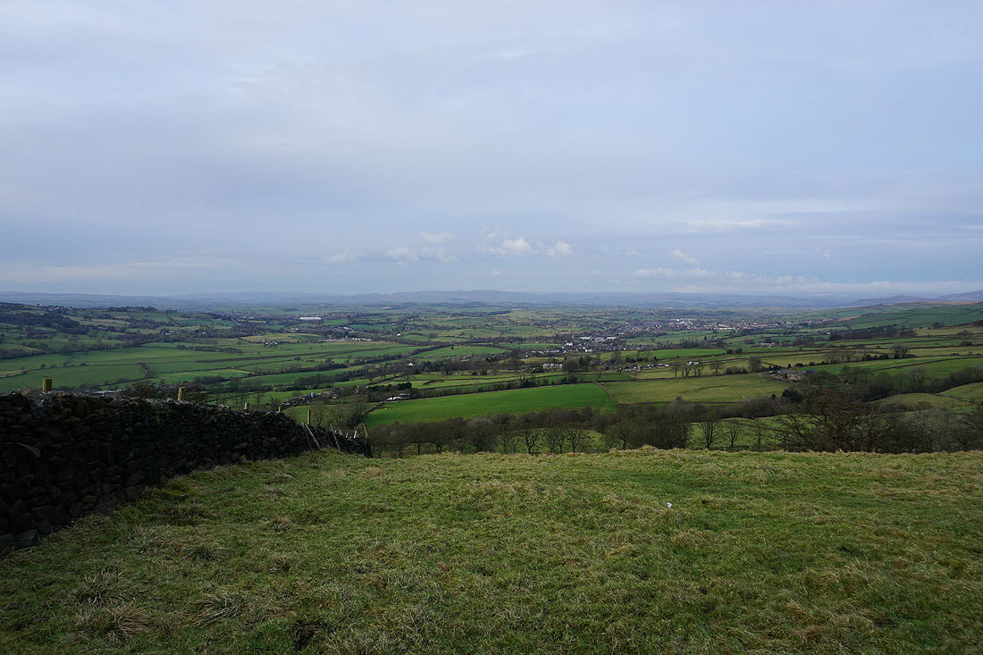
Looking north to Ingleborough, and the moors above Settle and Malham
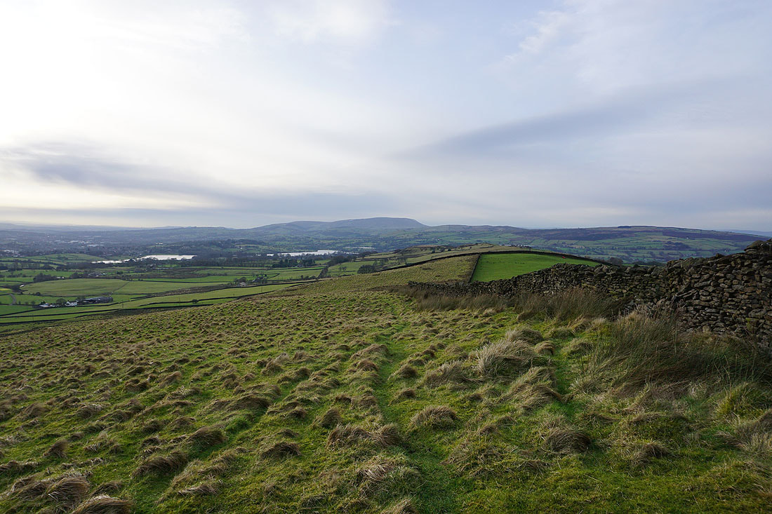
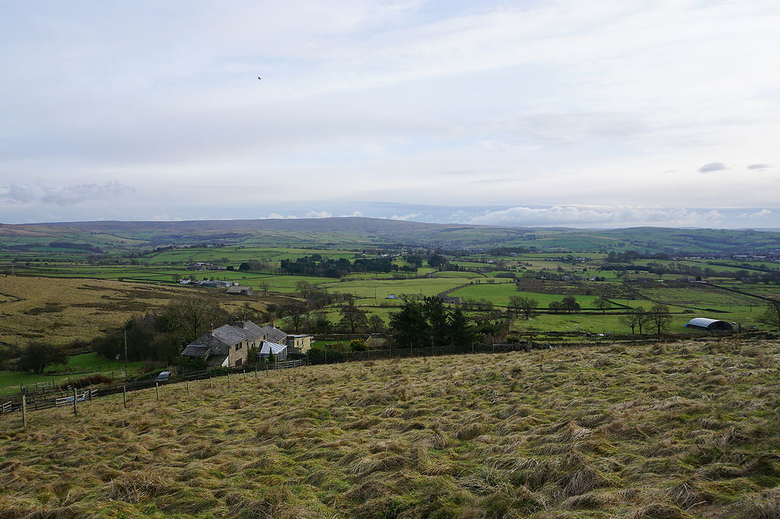
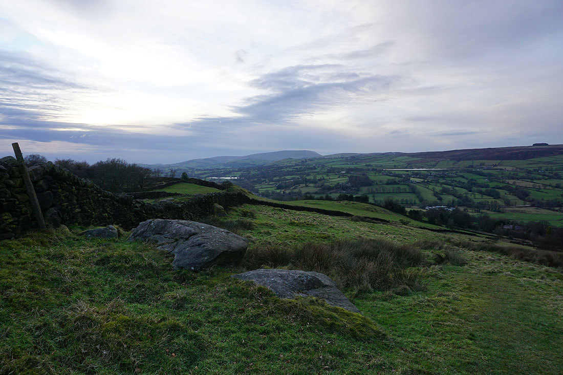
Pendle Hill from access land on Noyna Hill
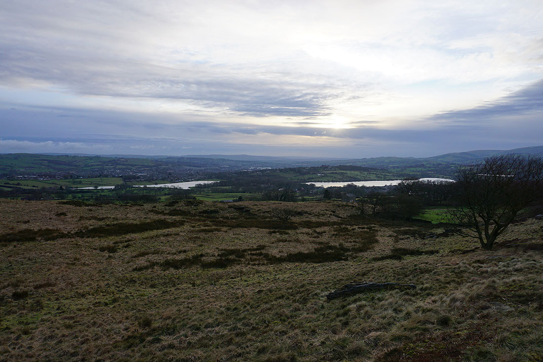
Colne, Foulridge Upper and Lower Reservoirs
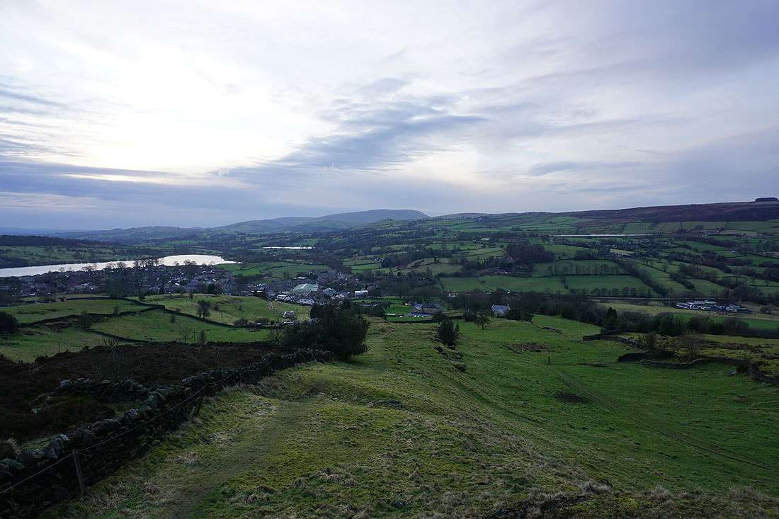
Heading down to Foulridge from Noyna Hill..
A last look up at Noyna Hill before I head back home
