31st July 2016 - The Saddleworth Edges
Walk Details
Distance walked: 9.4 miles
Total ascent: 1801 ft
OS map used: OL1 - The Peak District, Dark Peak area
Time taken: 5 hrs
Route description: Dove Stone Reservoir-Yeoman Hey Reservoir-Greenfield Reservoir-Greenfield Brook-Birchen Clough-Raven Stones-Ashway Rocks-Dean Rocks-Fox Stone-Dish Stone Brow-Chew Reservoir-Chew Road-Dove Stone Reservoir
I was keen to make the most of a fine weekend but after yesterdays half marathon the walk I did today had to be something a little shorter, more relaxing and closer to home. Also, for the first time in nearly four months my older brother Stephen was able to join me. With all that in mind I decided that we'd head to Dove Stone Reservoir in Saddleworth and do a walk along the edges above it. I've been there a few times now and enjoyed every visit. The weather we had today was almost identical to that I experienced yesterday. Some sunshine to start with, followed by the cloud filling in and then breaking up again in the second half of the afternoon, with a brisk breeze up on the edges throughout. Not a bad summers day plus we had the bonus of ice-cream from the van in the car park when we got back.
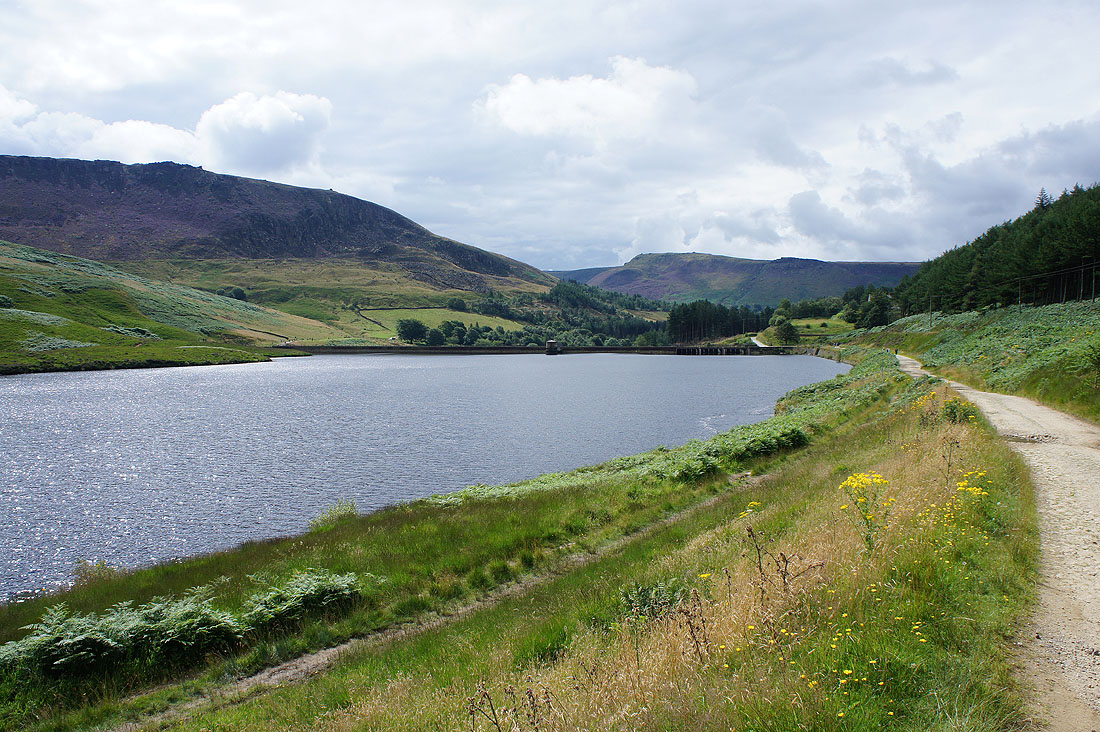
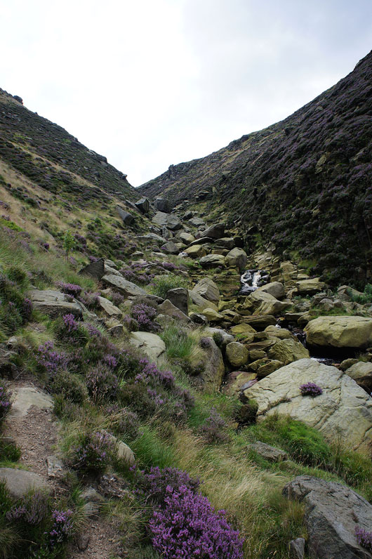
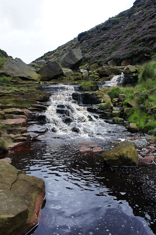
From the car park at Dove Stone Reservoir we followed the track around the reservoir and up past Yeoman Hey and Greenfield Reservoirs to its end at the weir on Greenfield Brook. We then made our way up Birchen Clough. The path starts on its left hand (northern) side and then crosses over once the gradient eases and all the waterfalls are out of the way to head up to the eastern end of Raven Stones. After having lunch here we then followed the path west along the edge above Raven Stones Brow to Ashway Rocks, then south across the top of Ashway Clough to Dean Rocks, then to the Fox Stone and south to Dish Stone Brow to reach Chew Reservoir. We finished with a walk down Chew Road back to Dove Stone Reservoir and the car park.
Total ascent: 1801 ft
OS map used: OL1 - The Peak District, Dark Peak area
Time taken: 5 hrs
Route description: Dove Stone Reservoir-Yeoman Hey Reservoir-Greenfield Reservoir-Greenfield Brook-Birchen Clough-Raven Stones-Ashway Rocks-Dean Rocks-Fox Stone-Dish Stone Brow-Chew Reservoir-Chew Road-Dove Stone Reservoir
I was keen to make the most of a fine weekend but after yesterdays half marathon the walk I did today had to be something a little shorter, more relaxing and closer to home. Also, for the first time in nearly four months my older brother Stephen was able to join me. With all that in mind I decided that we'd head to Dove Stone Reservoir in Saddleworth and do a walk along the edges above it. I've been there a few times now and enjoyed every visit. The weather we had today was almost identical to that I experienced yesterday. Some sunshine to start with, followed by the cloud filling in and then breaking up again in the second half of the afternoon, with a brisk breeze up on the edges throughout. Not a bad summers day plus we had the bonus of ice-cream from the van in the car park when we got back.
From the car park at Dove Stone Reservoir we followed the track around the reservoir and up past Yeoman Hey and Greenfield Reservoirs to its end at the weir on Greenfield Brook. We then made our way up Birchen Clough. The path starts on its left hand (northern) side and then crosses over once the gradient eases and all the waterfalls are out of the way to head up to the eastern end of Raven Stones. After having lunch here we then followed the path west along the edge above Raven Stones Brow to Ashway Rocks, then south across the top of Ashway Clough to Dean Rocks, then to the Fox Stone and south to Dish Stone Brow to reach Chew Reservoir. We finished with a walk down Chew Road back to Dove Stone Reservoir and the car park.
Route map
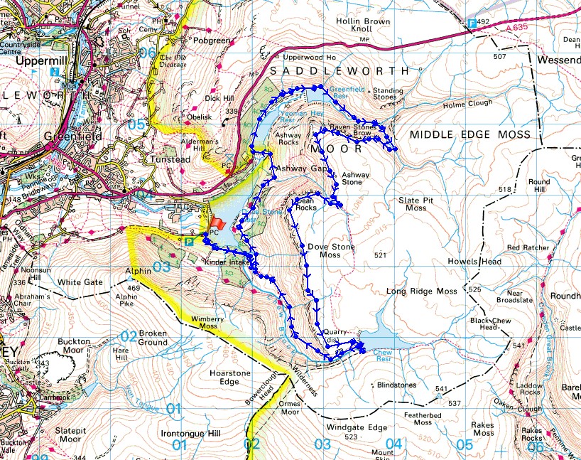
© Crown copyright. All rights reserved. License number PU 100034184.
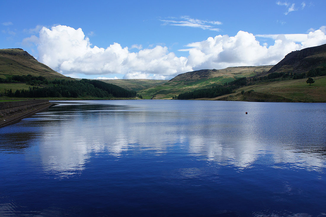
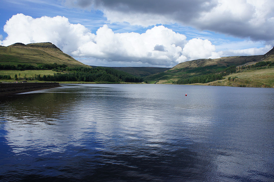
An almost flat calm Dove Stone Reservoir
At the northern end of Dove Stone Reservoir. Looking back to Wimberry Stones Brow and Alphin Pike.
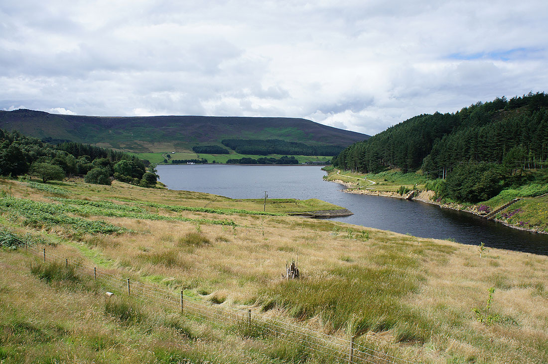
Yeoman Hey Reservoir
Looking back to Dean Rocks, Great Dove Stone Rocks and Stable Stones Brow
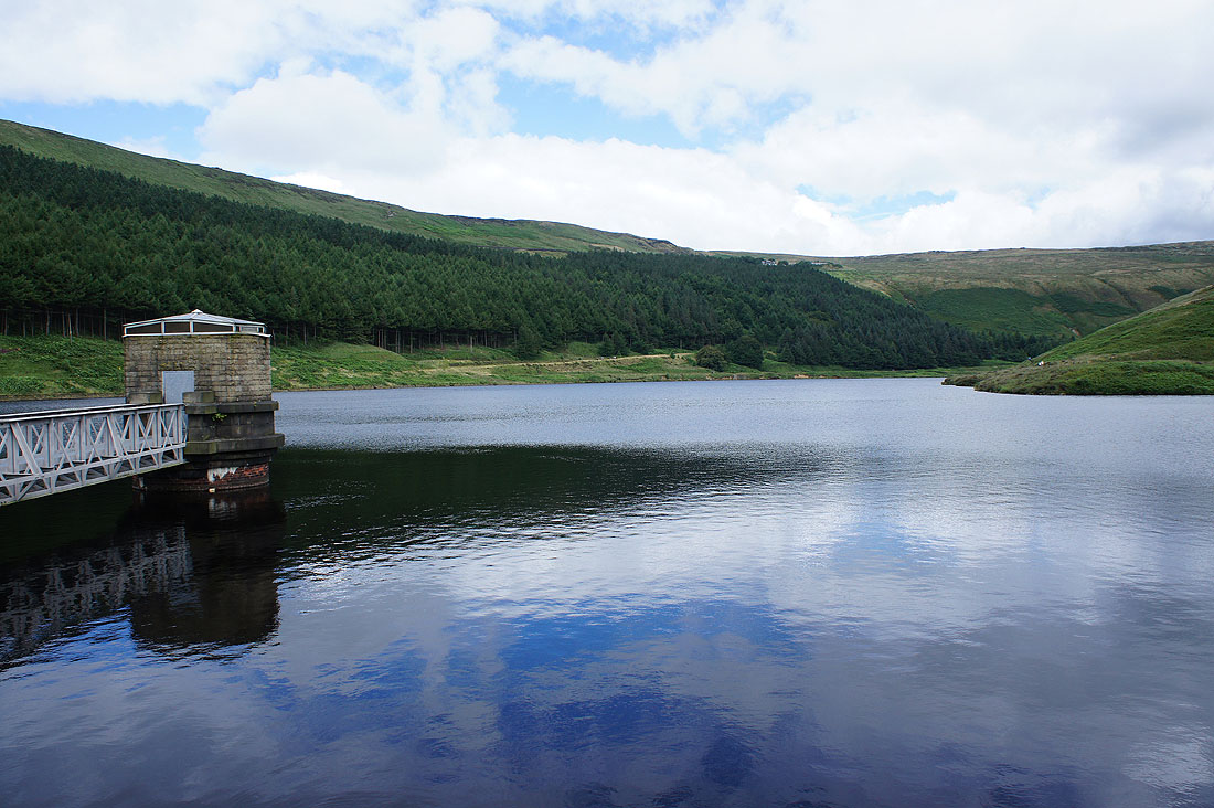
Greenfield Reservoir

A huge plane, an A380, passed slowly overhead
|
|
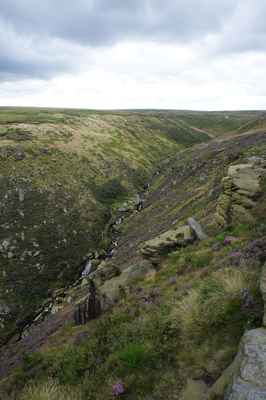
Heading up Birchen Clough
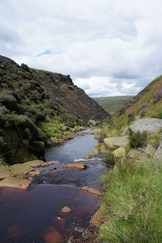
Looking back down as the gradient eases above the waterfall
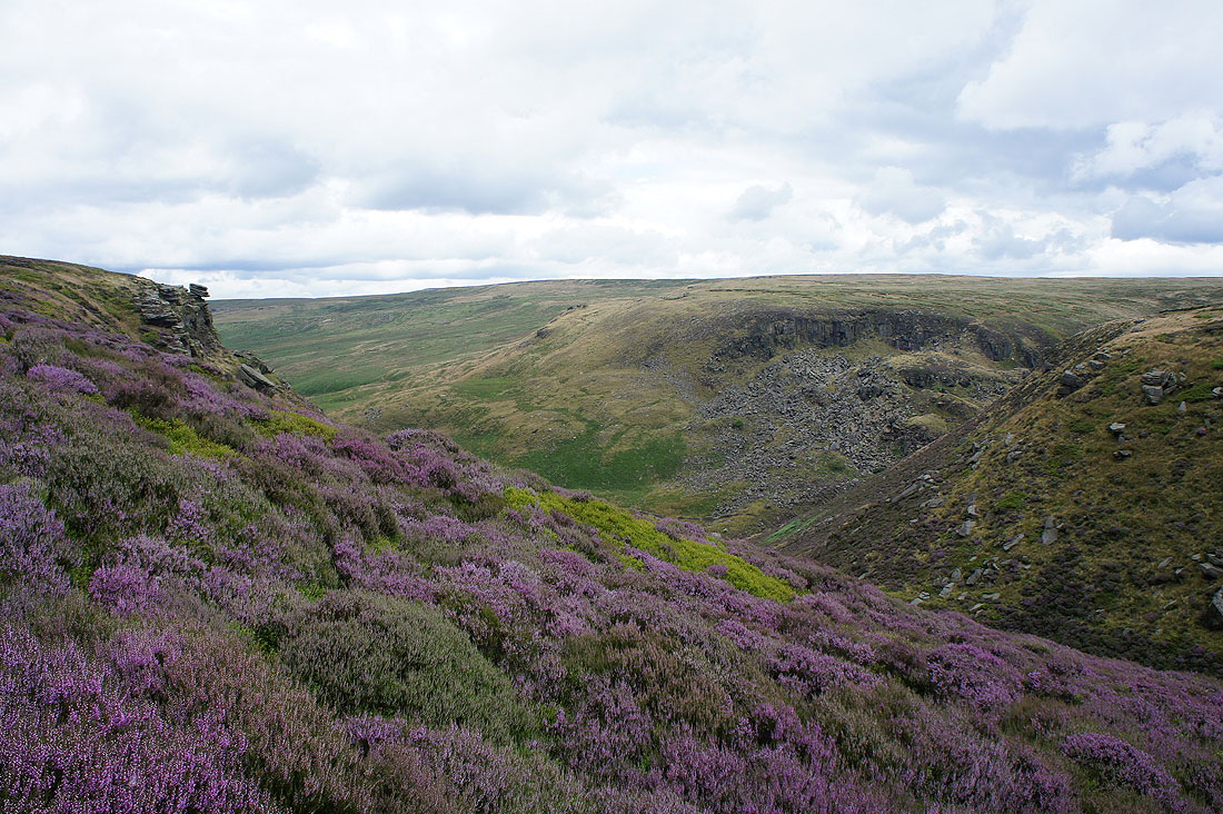
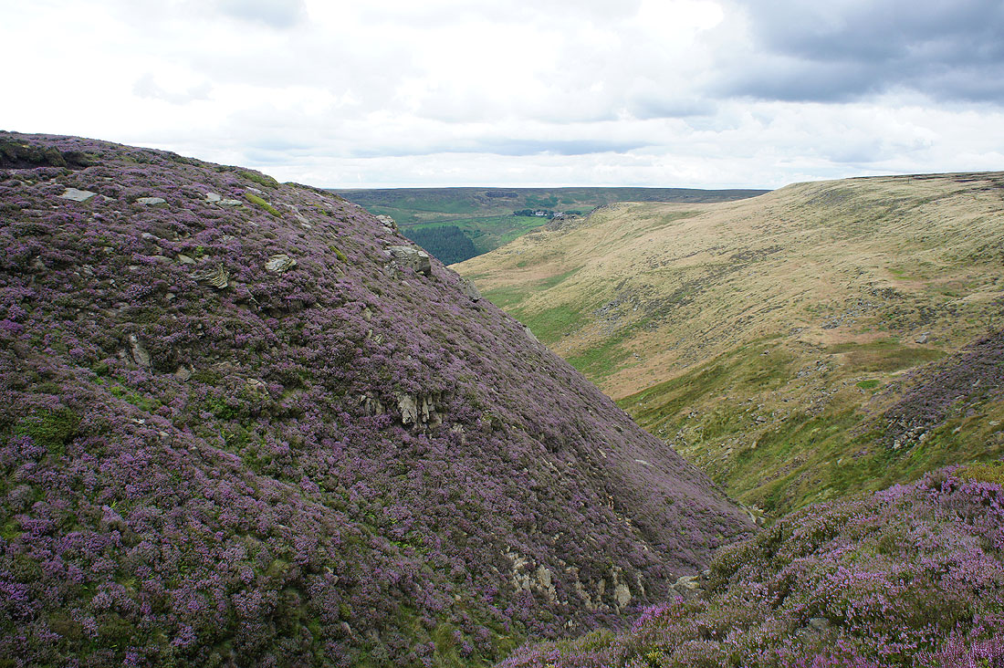
The heather is starting to put on a show as we head to Raven Stones
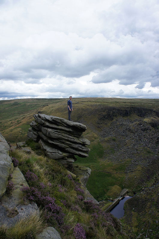
You're not getting me up there Stephen
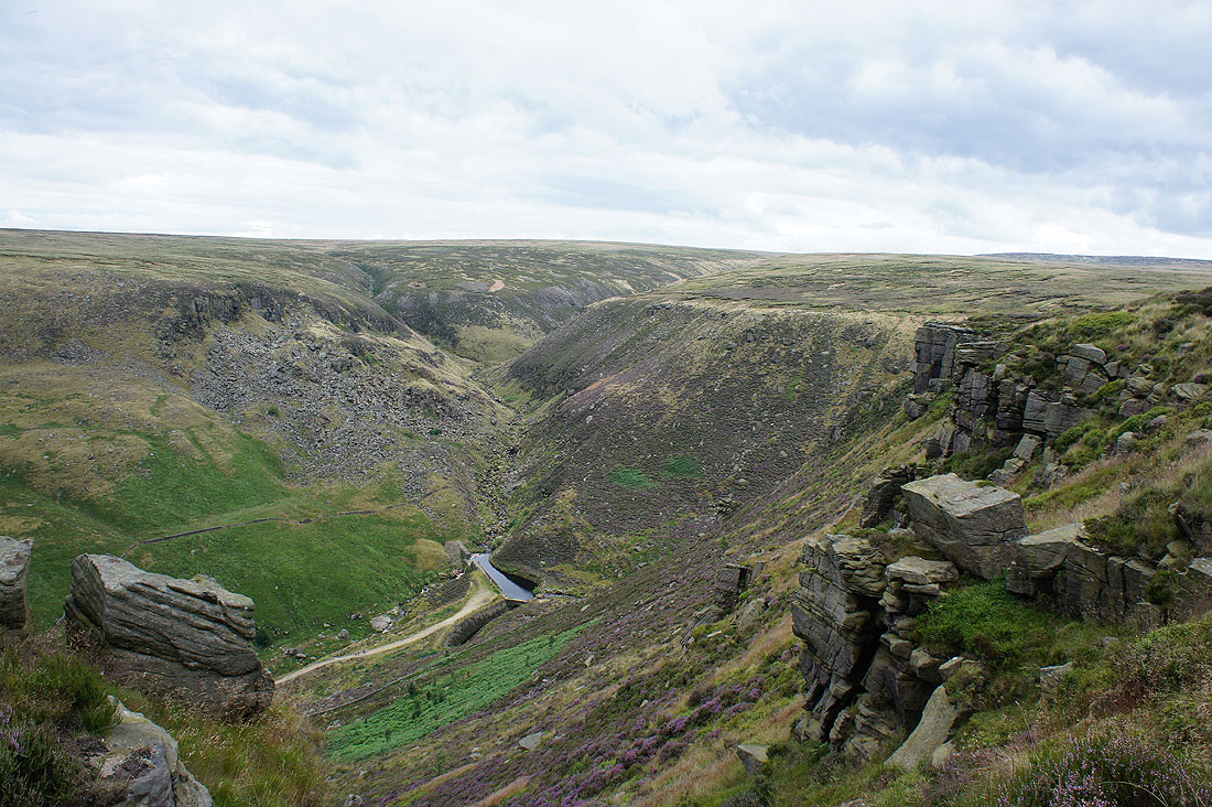
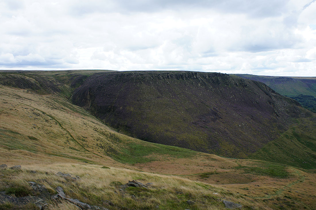
Holme Clough from the eastern end of Raven Stones
|
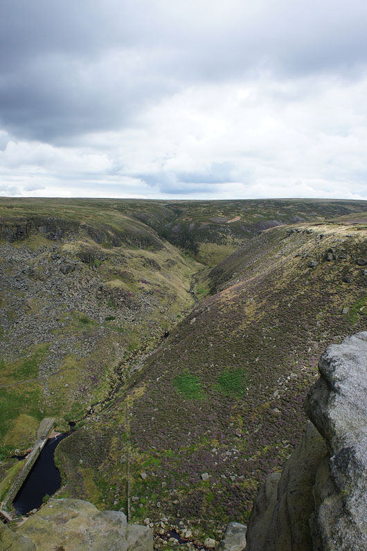
Birchen Clough, which was our route up
|
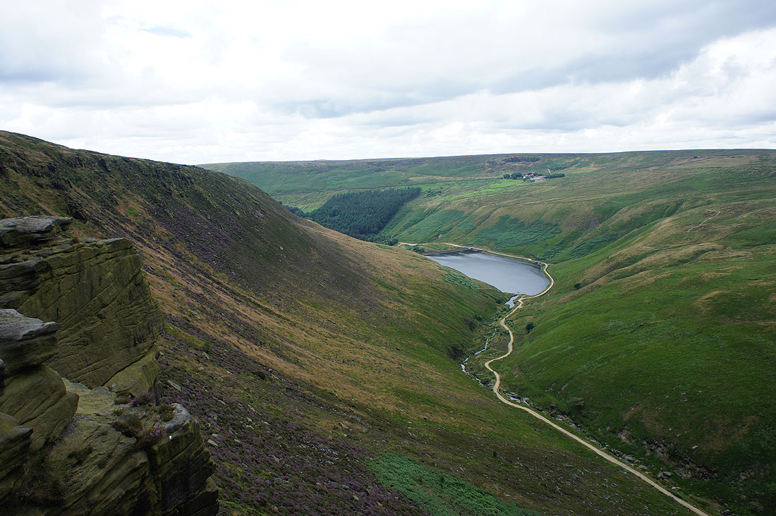
and Raven Stones Brow and Greenfield Reservoir
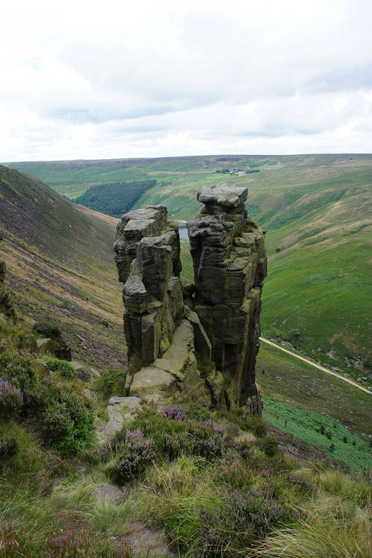
The Trinnacle
Looking back as we follow Raven Stones west. Lamb Knoll, Holme Clough and the moor of Middle Edge Moss above.
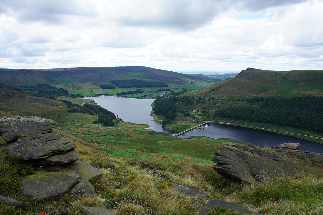
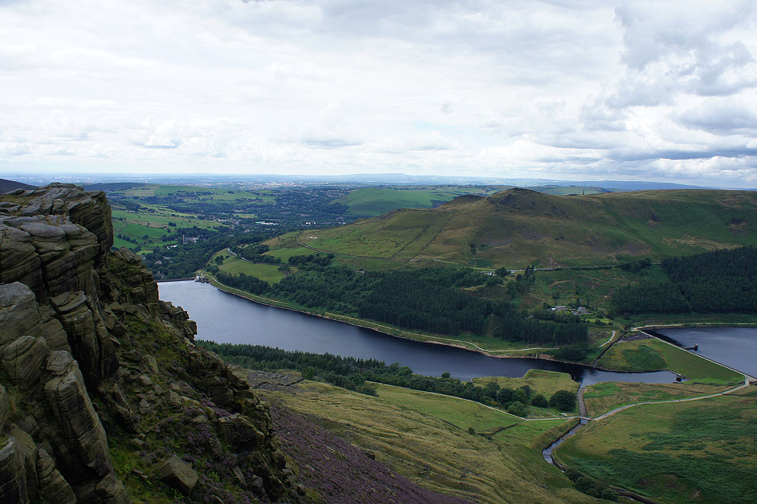
On Ashway Rocks. Alphin Pike, Dove Stone Reservoir, Alderman's Hill and Yeoman Hey Reservoir.
Plenty of heather on the hillside of Dean Rocks
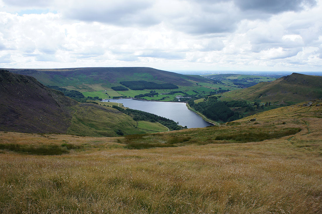
I couldn't resist taking another shot of Dove Stone Reservoir as we followed the hillside path south
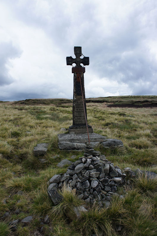
Past the memorial cross
Crossing the top of a heather clad Ashway Clough
Dove Stone Reservoir and Alderman's Hill from Dean Rocks
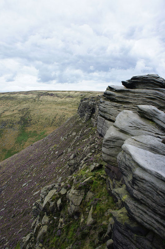
Dean Rocks
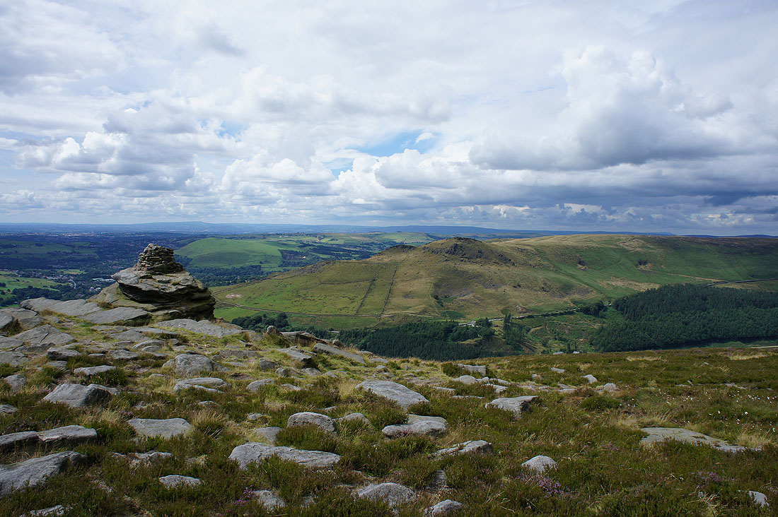
We decided to have a stop for the final time today at the Cairn on Fox Stone. I think the best views of the day are from here. Way in the distance beyond the nearby Alderman's Hill are Winter Hill and the rest of the West Pennine Moors on the left, with Scout Moor and the moors between Rossendale and Calderdale on the right.
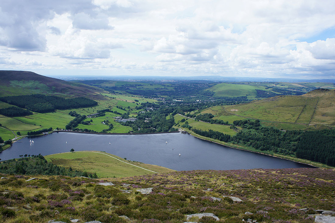
A great view of Dove Stone Reservoir just below
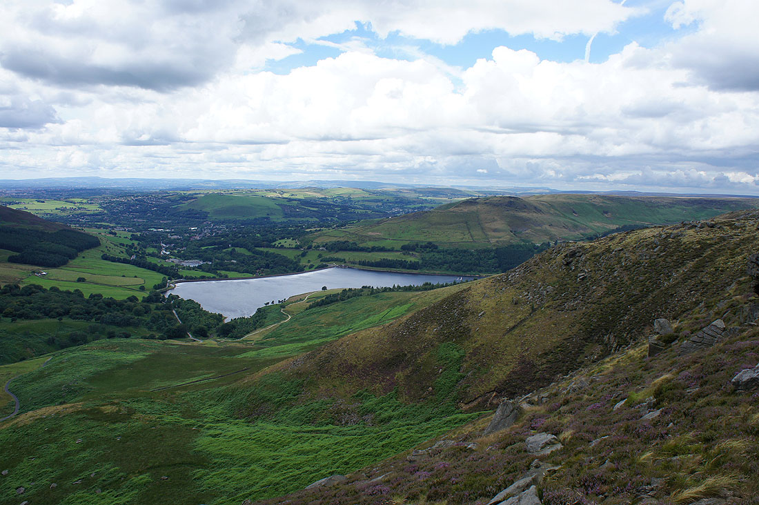
and again as we head south to Dish Stone Brow to reach..
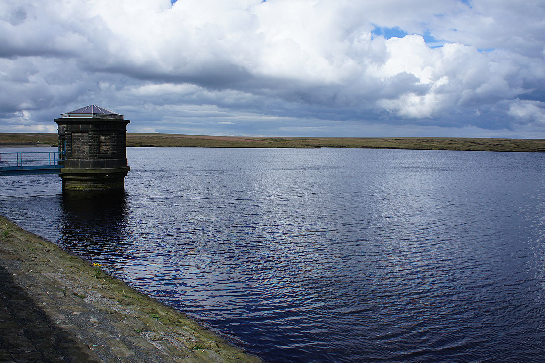
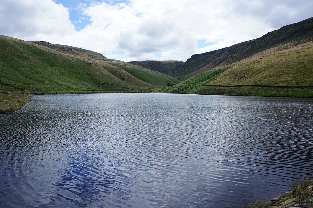
..Chew Reservoir
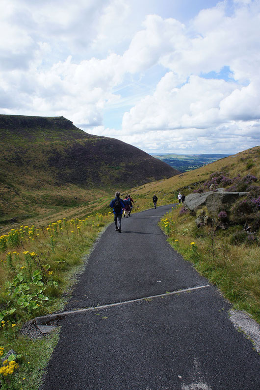
We finish the day with a walk down the reservoir access road..
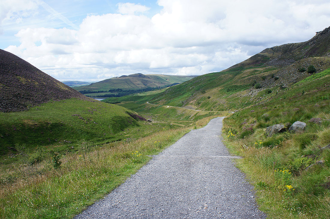
Looks just as good as when we set off this morning