31st March 2013 - A Weasdale Round
Walk Details
Distance walked: 7.9 miles
Total ascent: 1813 ft
OS map used: OL19 - Howgill Fells & Upper Eden Valley
Time taken: 5.5 hrs
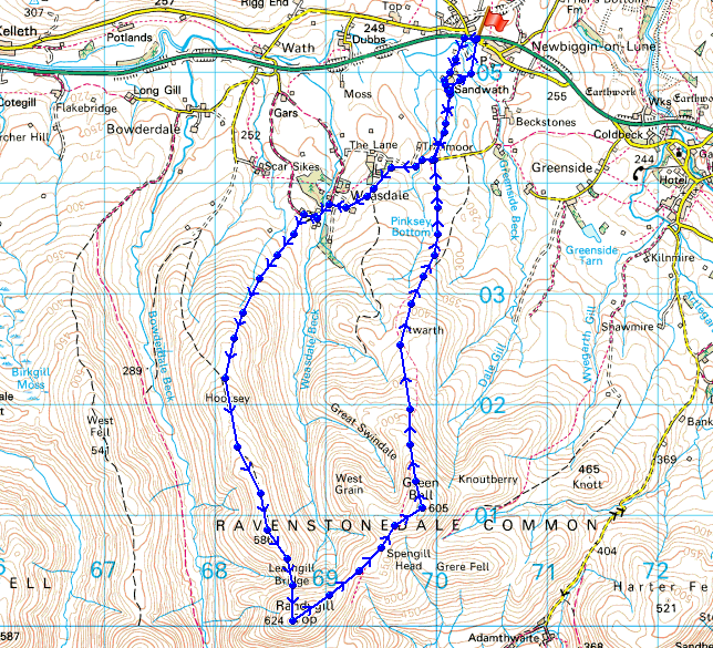
Route description: Newbiggin on Lune-road to Weasdale-Weasdale-Hooksey-Leathgill Bridge-Randygill Top-Green Bell-Stwarth-road to Weasdale-Newbiggin on Weasdale
It had been a few years since my last visit to this part of the Howgills so I thought another visit was due. Yet another bitterly cold day with some snow on the tops.
After parking in the village of Newbiggin-on-Lune I started this walk by road walking to the hamlet of Weasdale. At the end of the tarmaced road I entered access land to start the long gradual ascent of the ridge of Hooksey. From the top of Hooksey there's a steep down and up across Leathgill Bridge to reach the high point of the walk, Randygill Top. I then enjoyed a great ridgewalk across to Green Bell. My route back was a long descent to the road to Weasdale wich I followed back to Newbiggin-on-Lune.
Route map
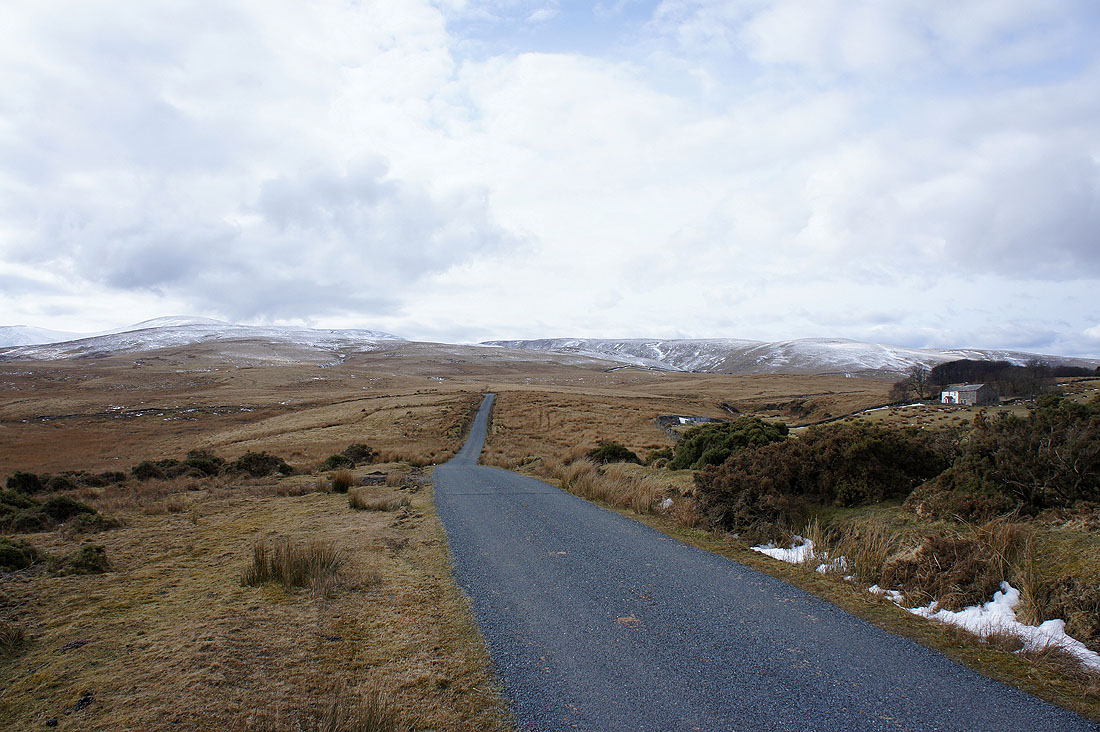
On the road to Weasdale
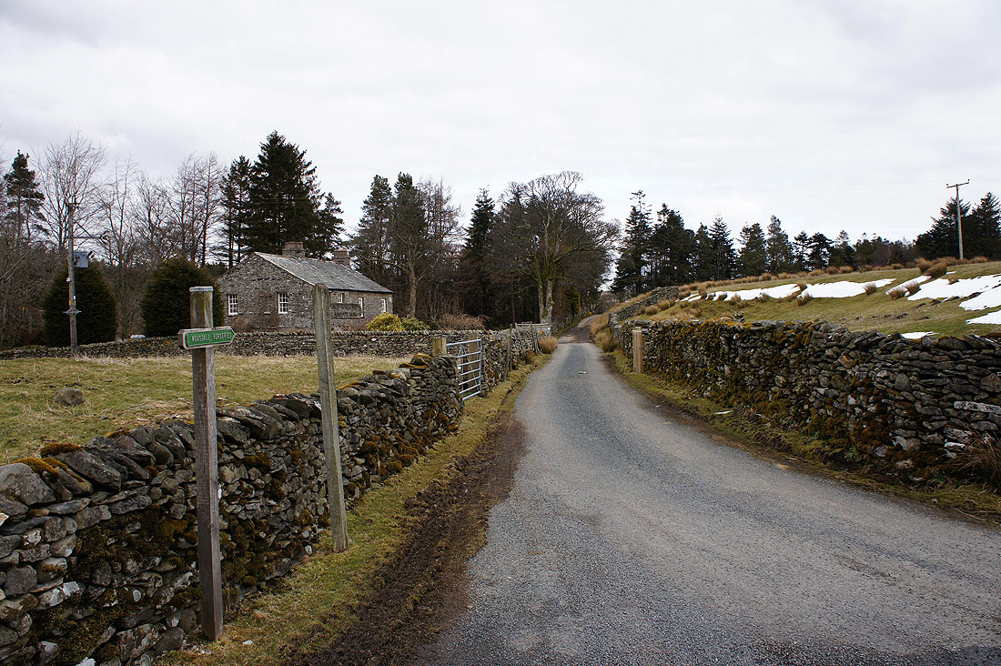
In the hamlet of Weasdale. It was very quiet.
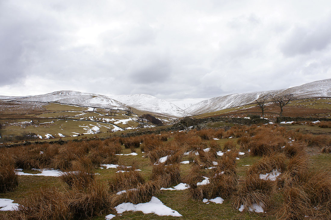
My first view up into Weasdale
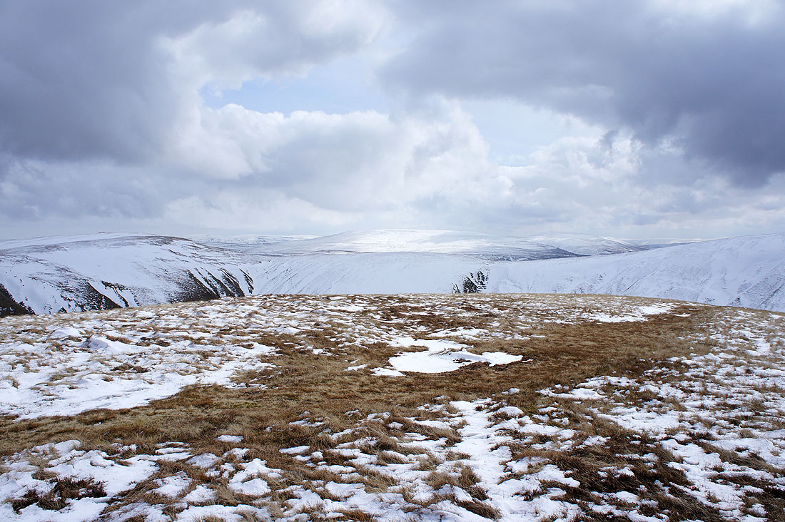
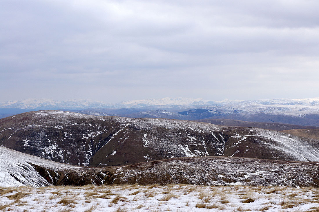
As height is gained on the ridge of Hooksey the view opens out. Snow covered Lakeland fells in the distance.
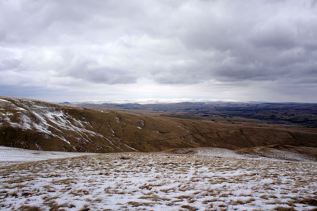
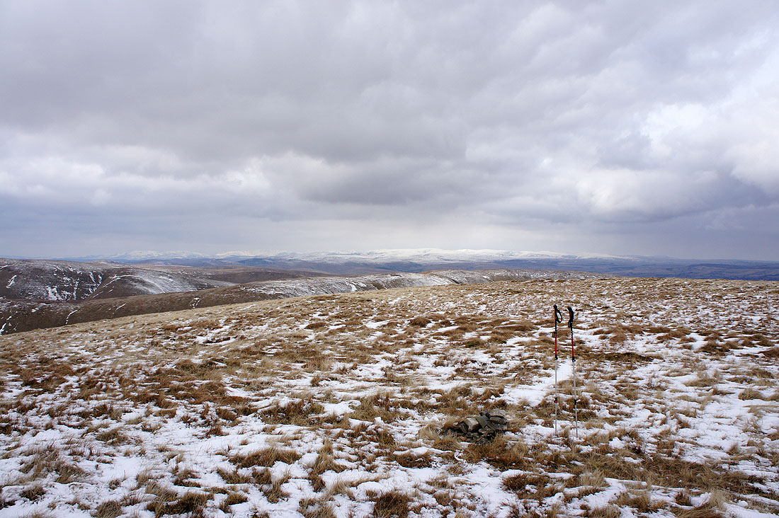
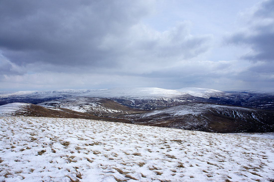
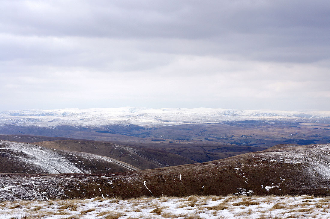
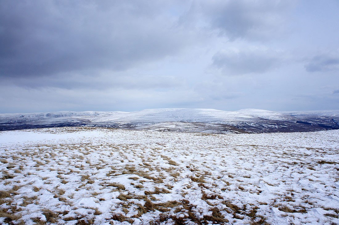
Cross Fell and the North Pennines on the other side of the Eden valley
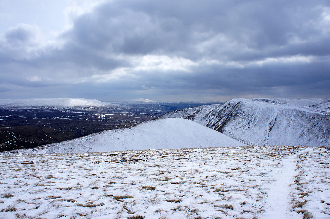
The side valley of Great Swindale on the left with Weasdale on the right separated by the prominent ridge of West Grain. The last summit of the day, Green Bell, is above Great Swindale.
The heart of the Howgills. Yarlside, Great Dummacks, Calders and The Calf
Wild Boar Fell beyond the ridge on the other side of Weasdale
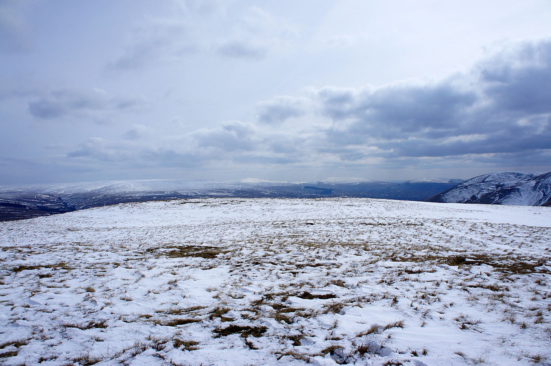
Looking towards the Lake District fells
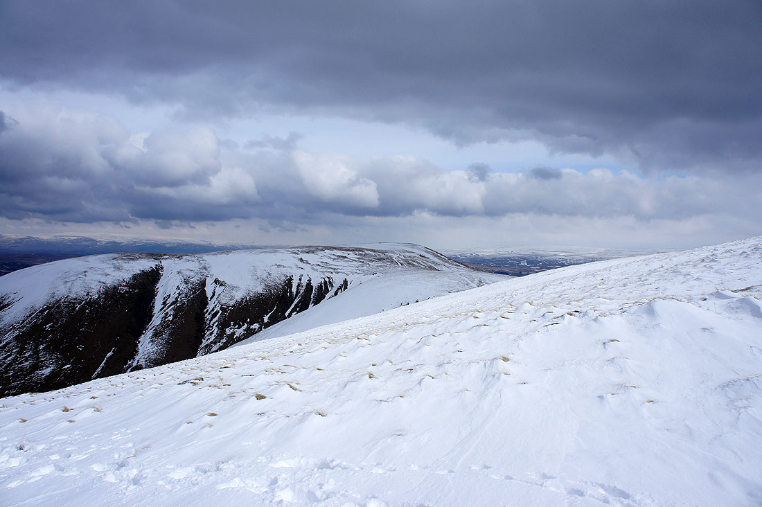
Struggling through the deep snow on the northern slopes of Randygill Top
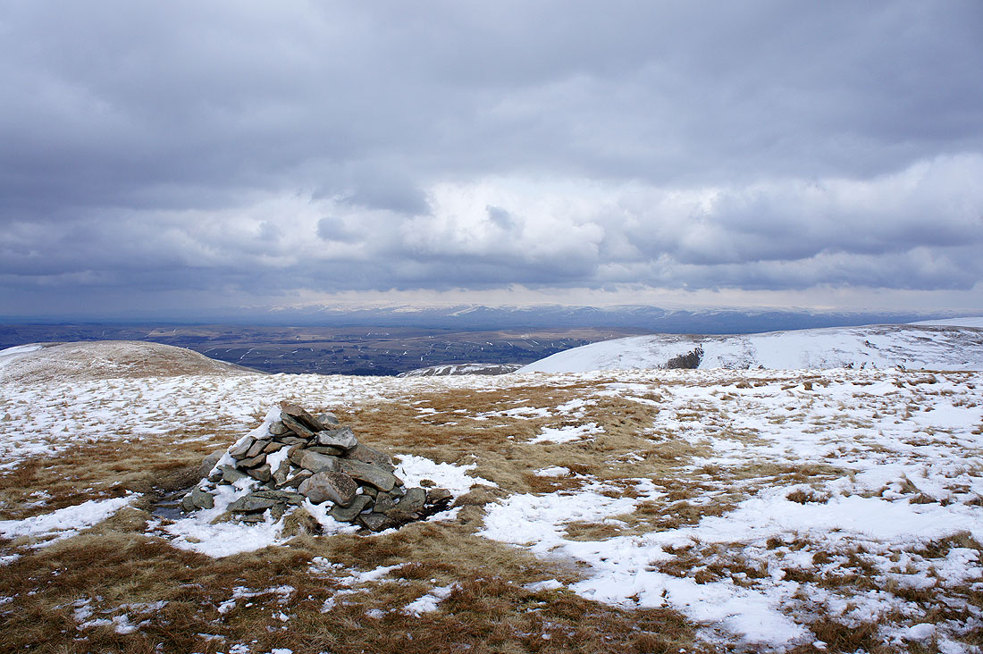
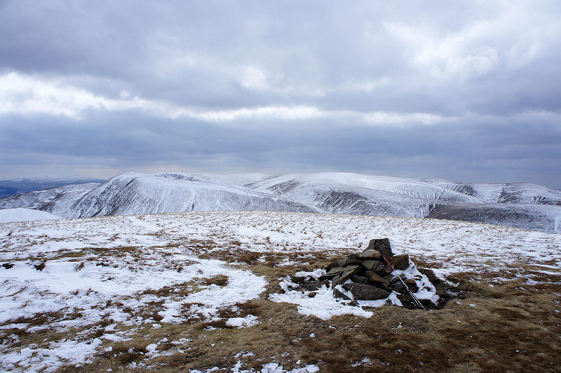
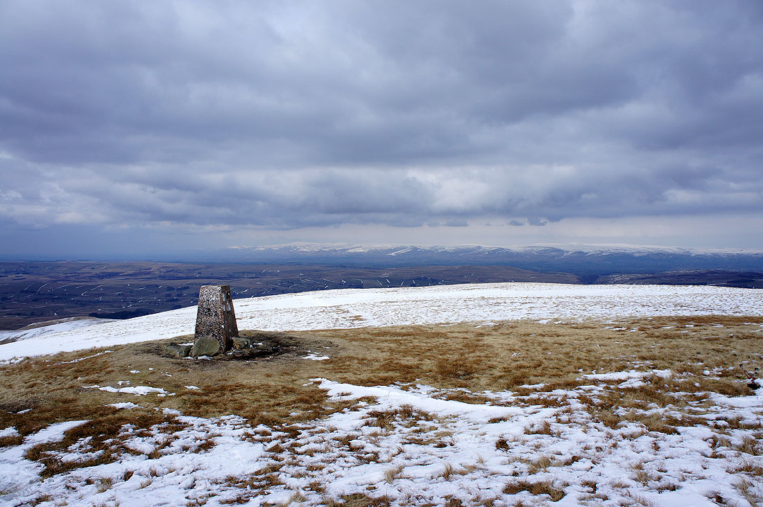
On the summit of Randygill Top. One of the few summits in the Howgills that has a proper cairn. Cross Fell and the North Pennines in the distance.
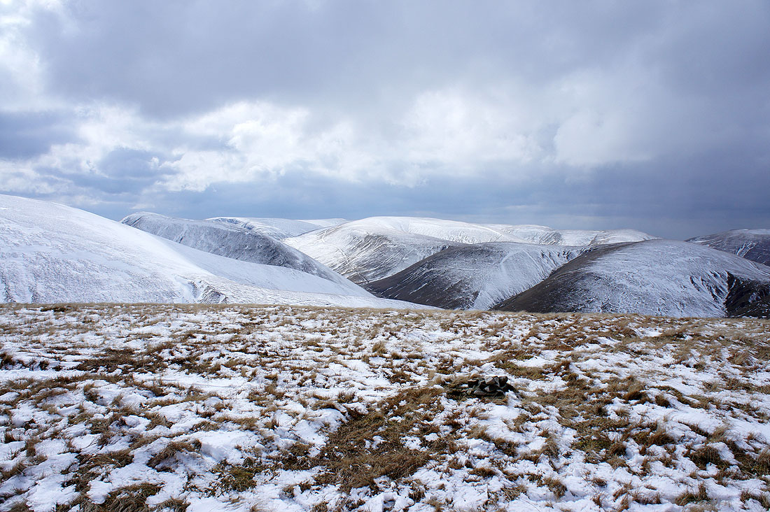
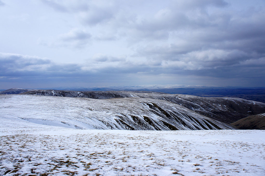
High Seat and Mallerstang Edge, Wild Boar Fell and Swarth Fell
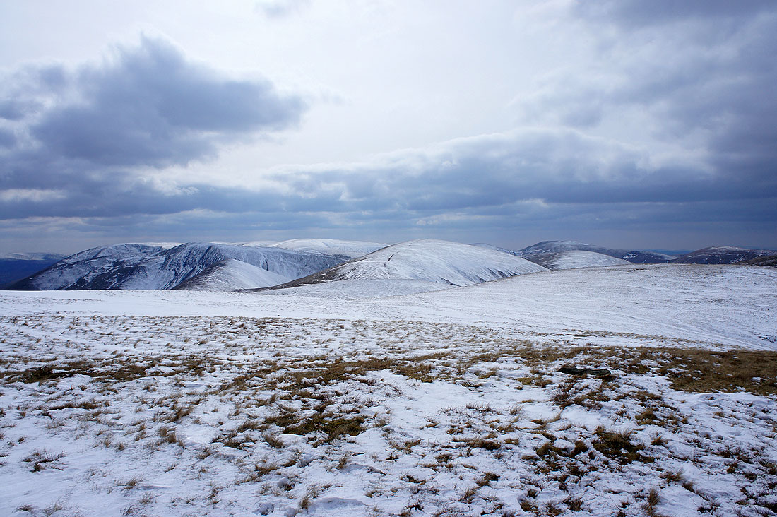
Snow covered Baugh Fell and Whernside on the left. Kensgriff is the hill front of centre with Yarlside on the right.
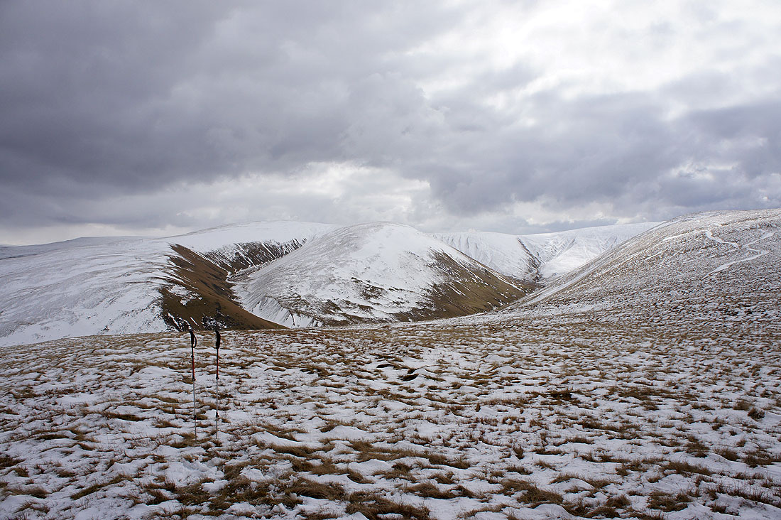
The highest summits in the Howgills. Yarlside, Great Dummacks, Calders and The Calf.
Snow covered Lakeland fells in the distance
Zooming in and on the left are the Coniston fells, while in the middle of the picture are the Crinkle Crags, the Scafells and Great Gable
High Street, High Raise and the far eastern fells
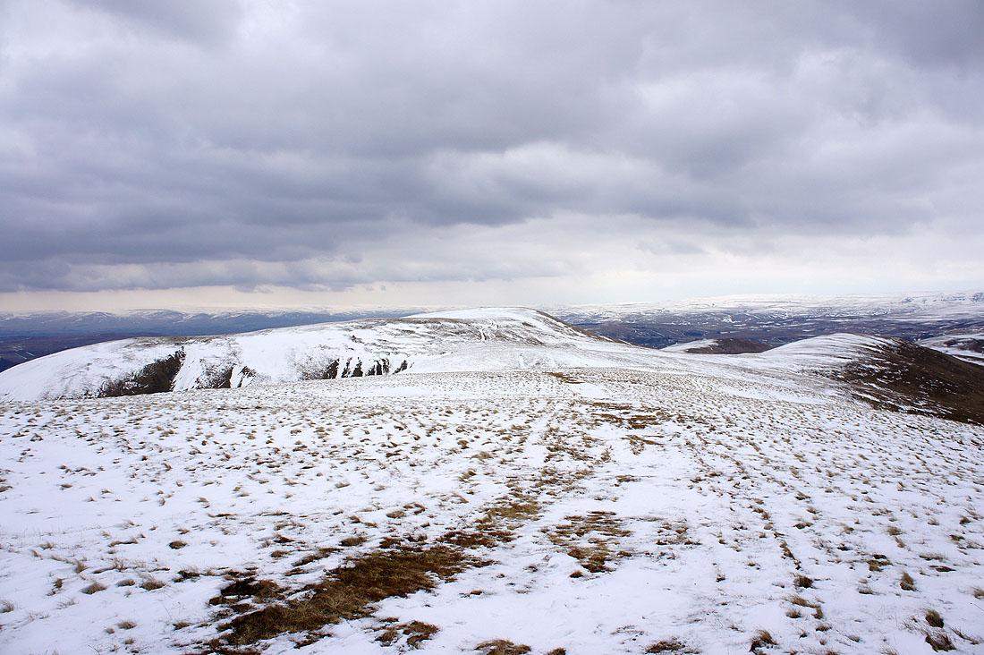
Heading for Green Bell
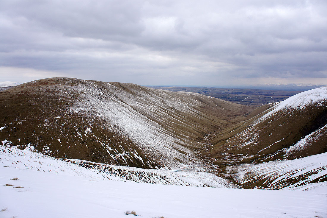
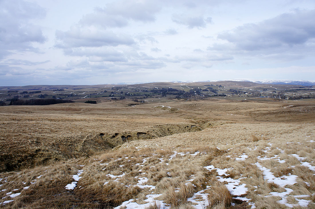
Weasdale below with the ridge of Hooksey, my route of ascent on the left
High Seat and Mallerstang Edge, Wild Boar Fell and Swarth Fell from the summit of Green Bell
Baugh Fell, Whernside, Great Coum and Middleton Fell
Looking back to Randygill Top, the previous summit of the day
Snowy Lakeland fells in the distance
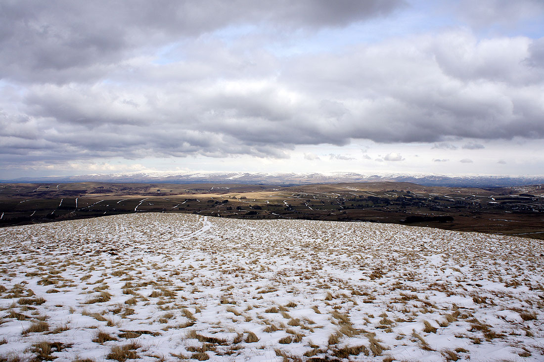
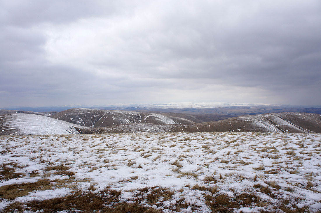
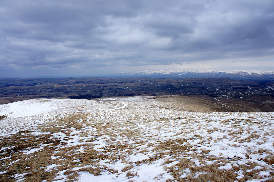
Cross Fell and the North Pennines in the distance
Heading down to the road back to Newbiggin-on-Lune..
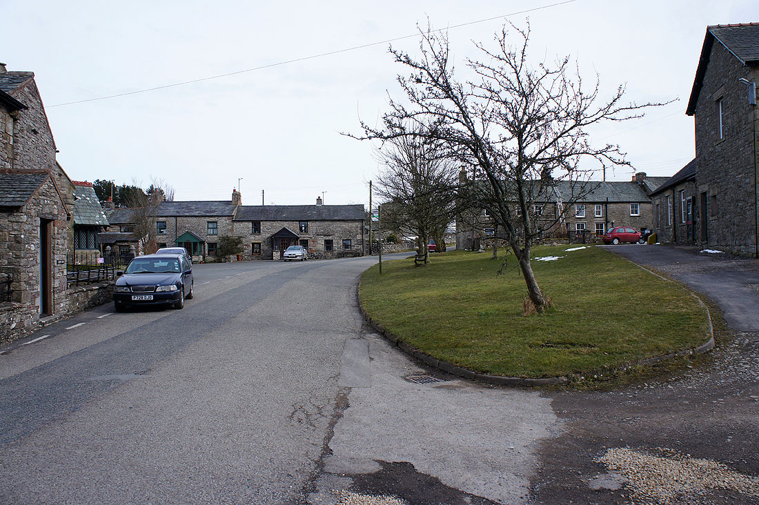
Back in Newbiggin-in-Lune
