31st May 2020 - Weets Hill and Twiston Moor
Walk Details
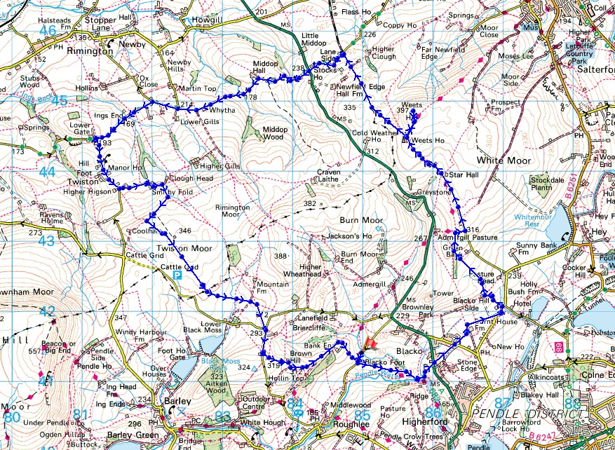
Distance walked: 11.8 miles
Total ascent: 1847 ft
OS map used: OL21 - South Pennines
Time taken: 6 hrs
Route description: Blacko Bar Road-Blacko Foot Farm-Pendle Way-Water Meetings-Blacko-Beverley Road-Burnt House Farm-Barnoldswick Road-Malkin Tower Farm-Blacko Hill-Gisburn Old Road-Weets House Farm-Weets Hill-Pennine Bridleway-Stocks Lane-A682-Stocks Lane-Middop Hall-Whytha Road-Skeleron Lane-Twiston Lane-Twiston-Smithy Fold-Twiston Moor-Wheathead Lane-Stang Top Road-Brown Hill-Bank Ends-Blacko Bar Road
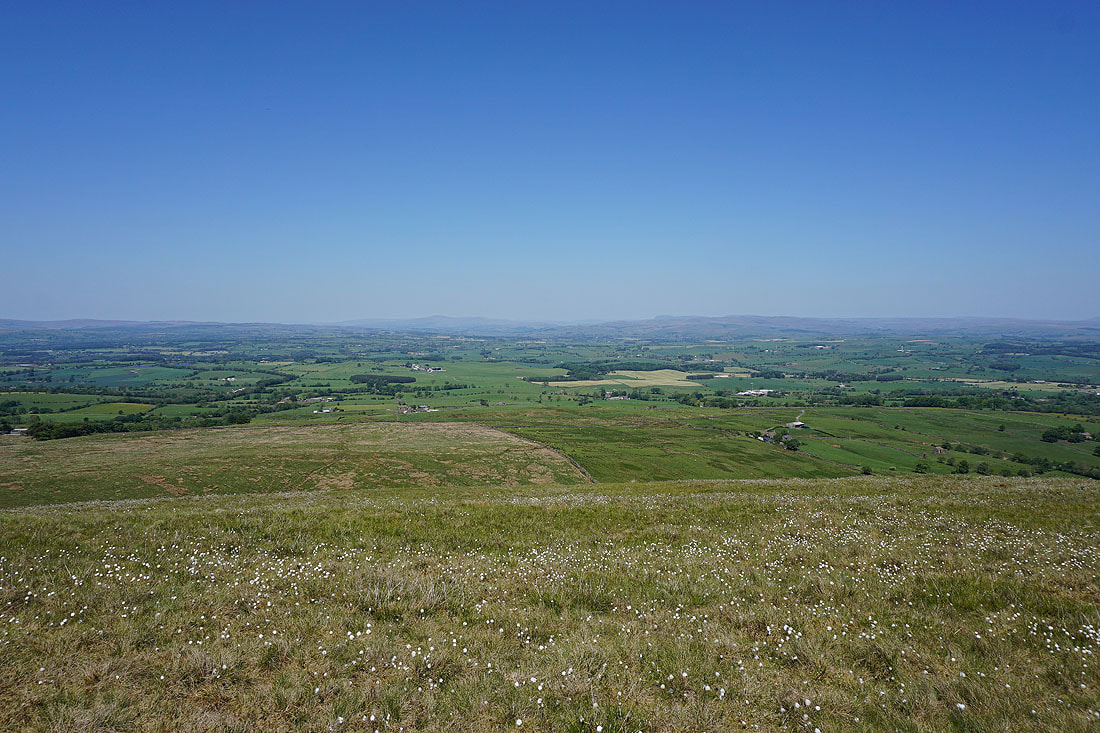
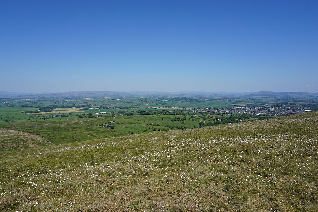
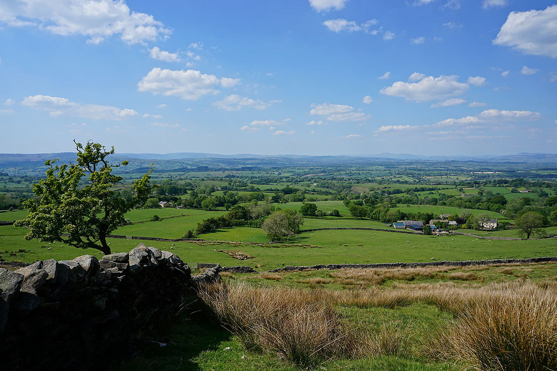
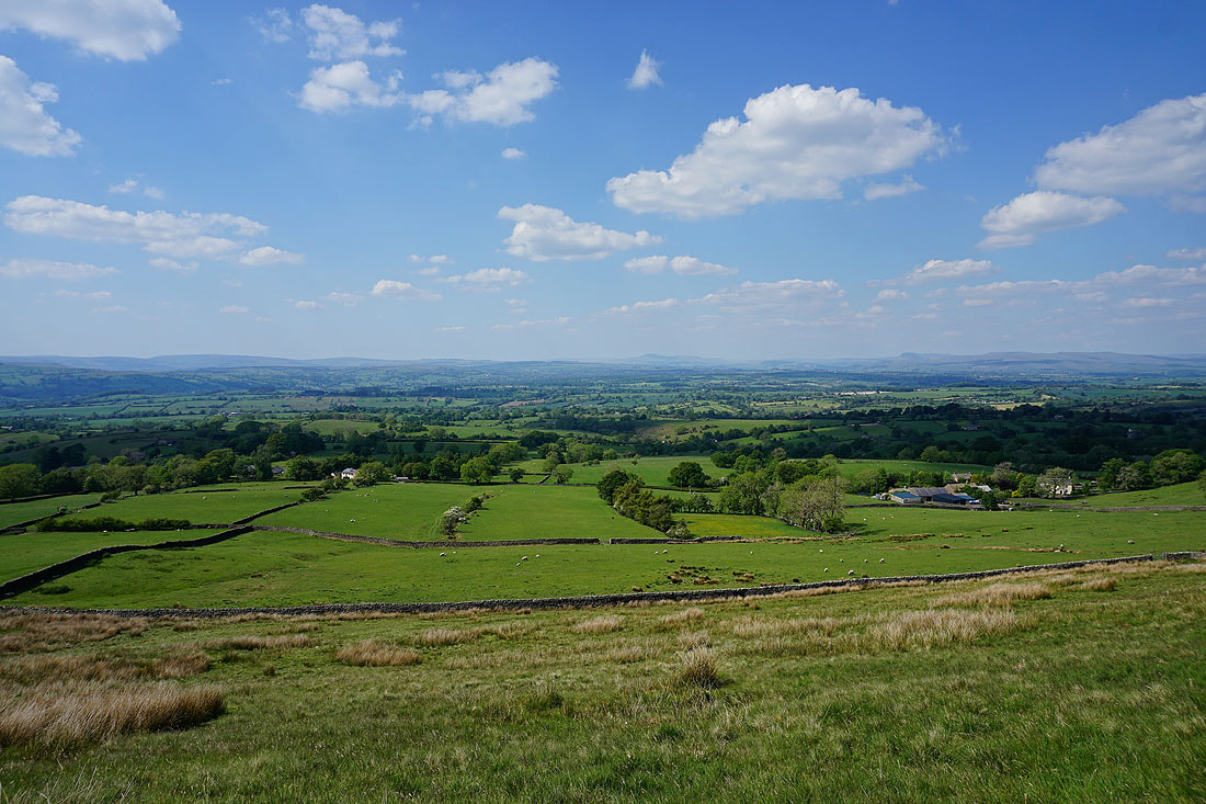
After yesterday's beautiful weather there's more of the same. I kept close to home again, driving just a short distance to nearby Blacko, though I suppose I could have started from home, but it would have added several miles to what was already a fairly long walk. The only minus point of the route that I worked out was the amount of hard tarmac involved, but the footpaths that I could have taken took me past farms and were probably little used, so I erred on the side of caution, not needing the aggravation of going through farmyards or not being certain of my route. On a more positive note, I had great views to enjoy, especially those from Weets Hill and Twiston Moor. I could have taken in that view across the Ribble Valley to the Forest of Bowland and the Yorkshire Dales all day long.
From where I parked in the layby on Blacko Bar Road, I walked a short distance down the road and joined the Pendle Way at Blacko Foot Farm and followed it down to Water Meetings. From here I took a track up to the A682, crossed the road and took the lane opposite, and then a footpath along the edge of fields to Beverley Road. After crossing the road I took the path opposite to Burnt House Farm and then to Barnoldswick Road, where after a brief walk north along the road I took a footpath on the left uphill past Malkin Tower Farm and Greenbank Farm onto Blacko Hill. After crossing a wall I took a path north, then bridleway east to reach Gisburn Old Road, which I walked up to its end at Weets House Farm. After going through the gate and onto the Pennine Bridleway I made my way up to the summit of Weets Hill. Once I'd taken in the views I made my way back down to the Pennine Bridleway at Weets House Farm, where I found a spot off the track to have my lunch. I then resumed my walk by heading north along the Pennine Bridleway until I reached its junction with Stocks Lane and Brogden Lane, where I turned left and followed Stocks Lane west across the A682 and to Middop Hall. At Middop Hall Stocks Lane becomes Whytha Lane, and I continued my walk west along this lane, and then along Skeleron Lane through the hamlet of Ings End and up to the junction with Twiston Lane. Here I turned left and followed Twiston Lane uphill through the hamlet of Twiston until I reached a narrow lane on the left to Smithy Fold. At the end of this lane I followed a footpath uphill along a track, and then west across the moor, to pick up the footpath south across Twiston Moor. On reaching the edge of access land at the southern end of Twiston Moor, I took a footpath east and then southeast across fields to Wheathead Lane at its junction with Black Moss Road and Stang Top Road. I then walked south up Stang Top Road until I reached a footpath on the left, which I followed east around Brown Hill and down to Bank Ends. A footpath around Bank Ends and down its driveway took me to Blacko Bar Road, and a short walk back to the layby where I was parked.
Route map
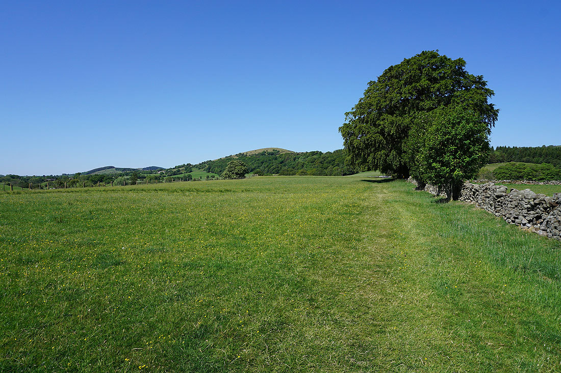
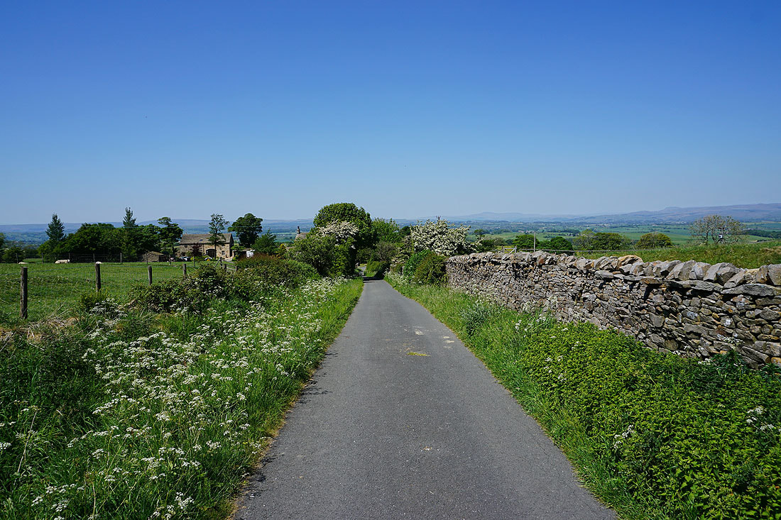
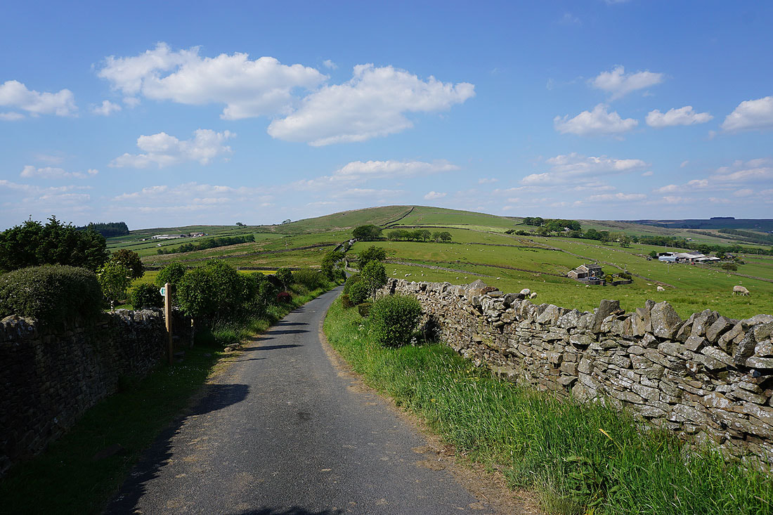
From the layby on Blacko Bar Road I join the Pendle Way
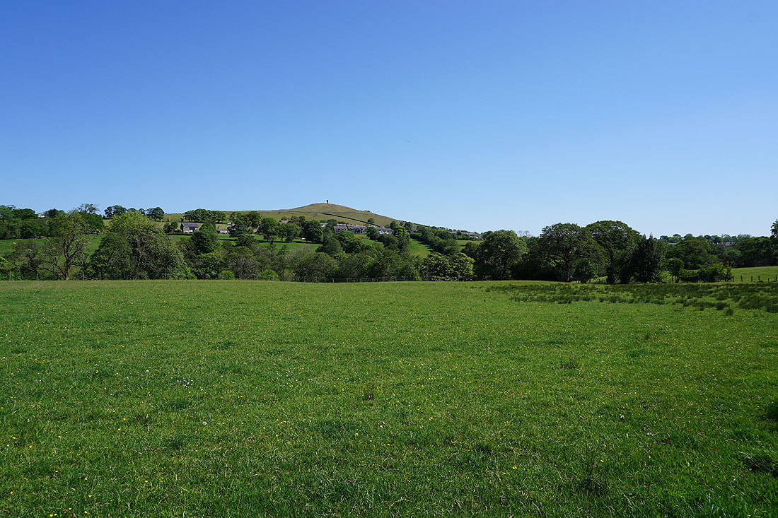
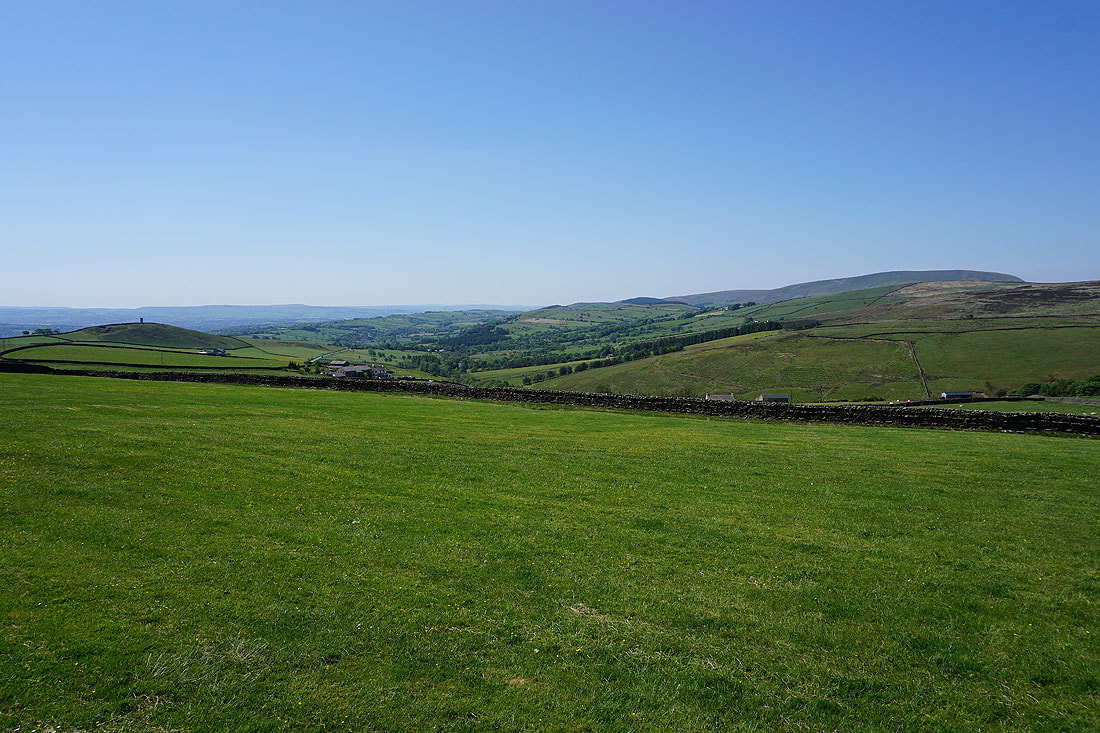
Blacko Hill to my left
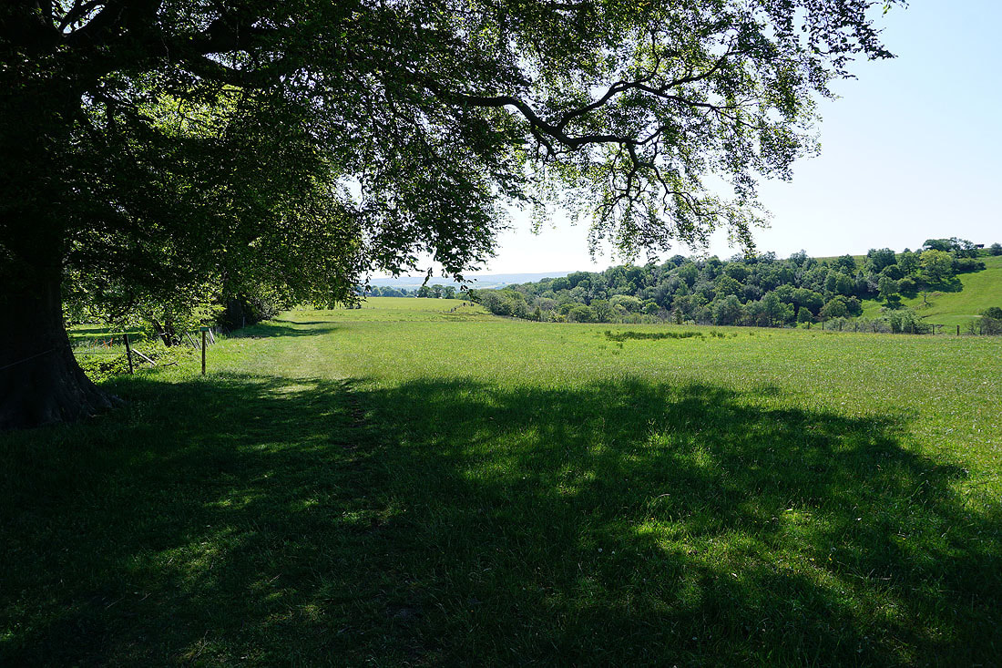
Looking back to Brown Hill
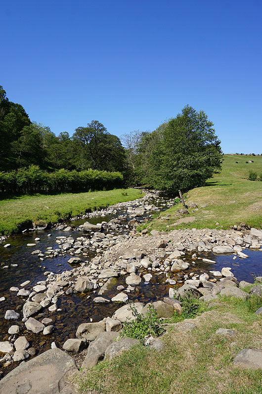
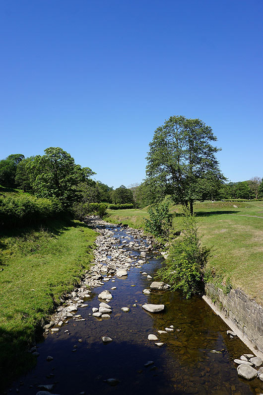
Heading down to Water Meetings
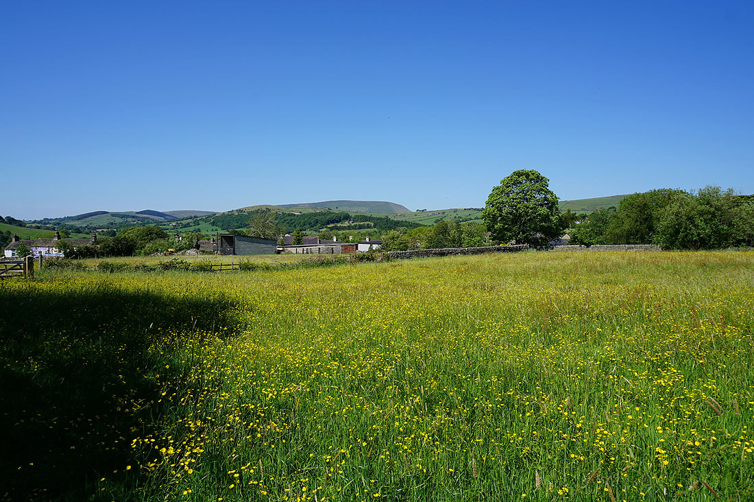
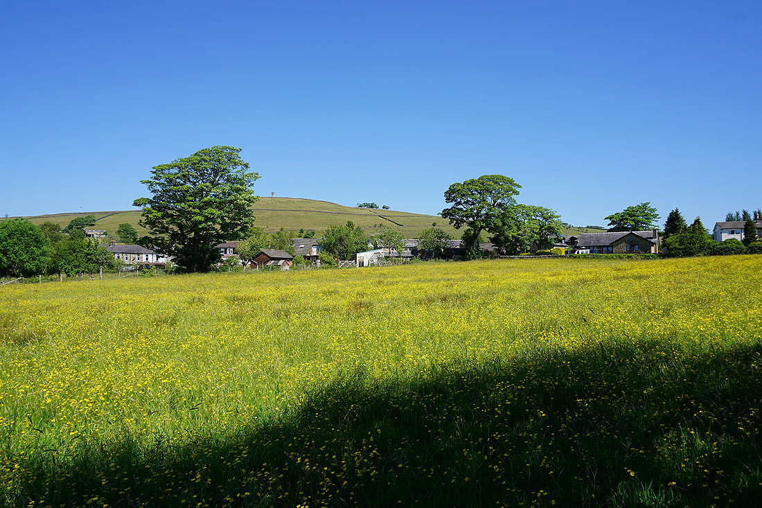
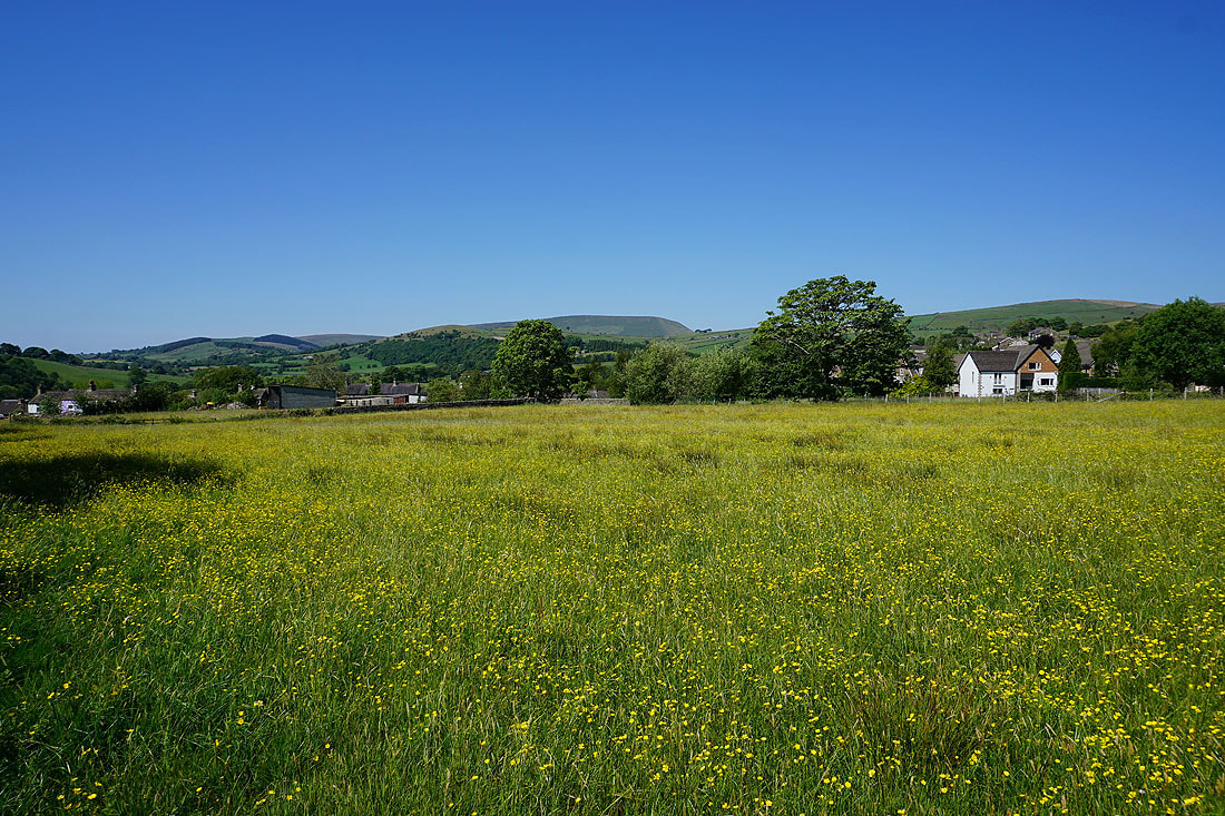
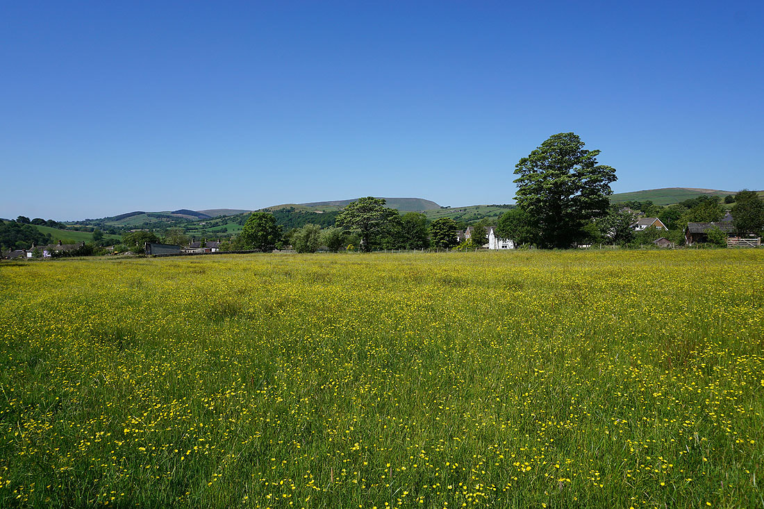
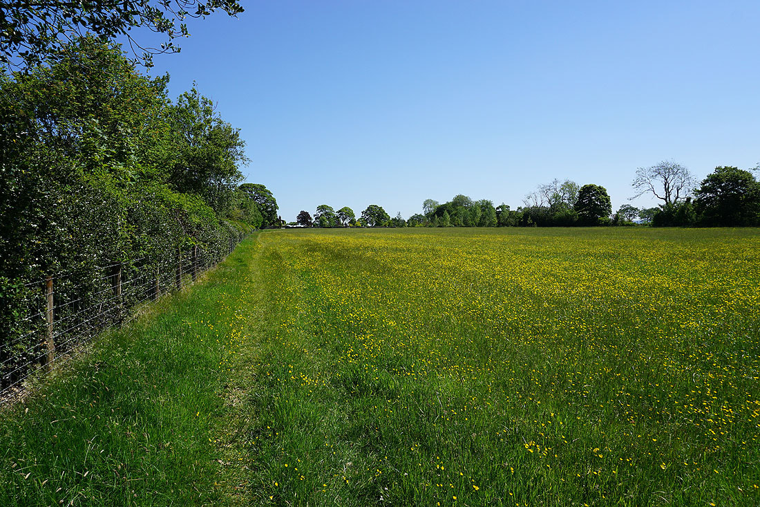
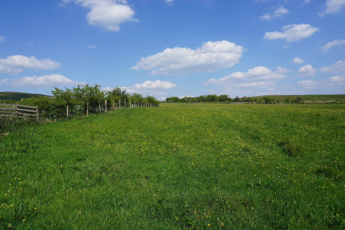
Past the buttercup filled fields in Blacko. They look as good as they did a couple of weeks ago....
On the path to Burnt House Farm
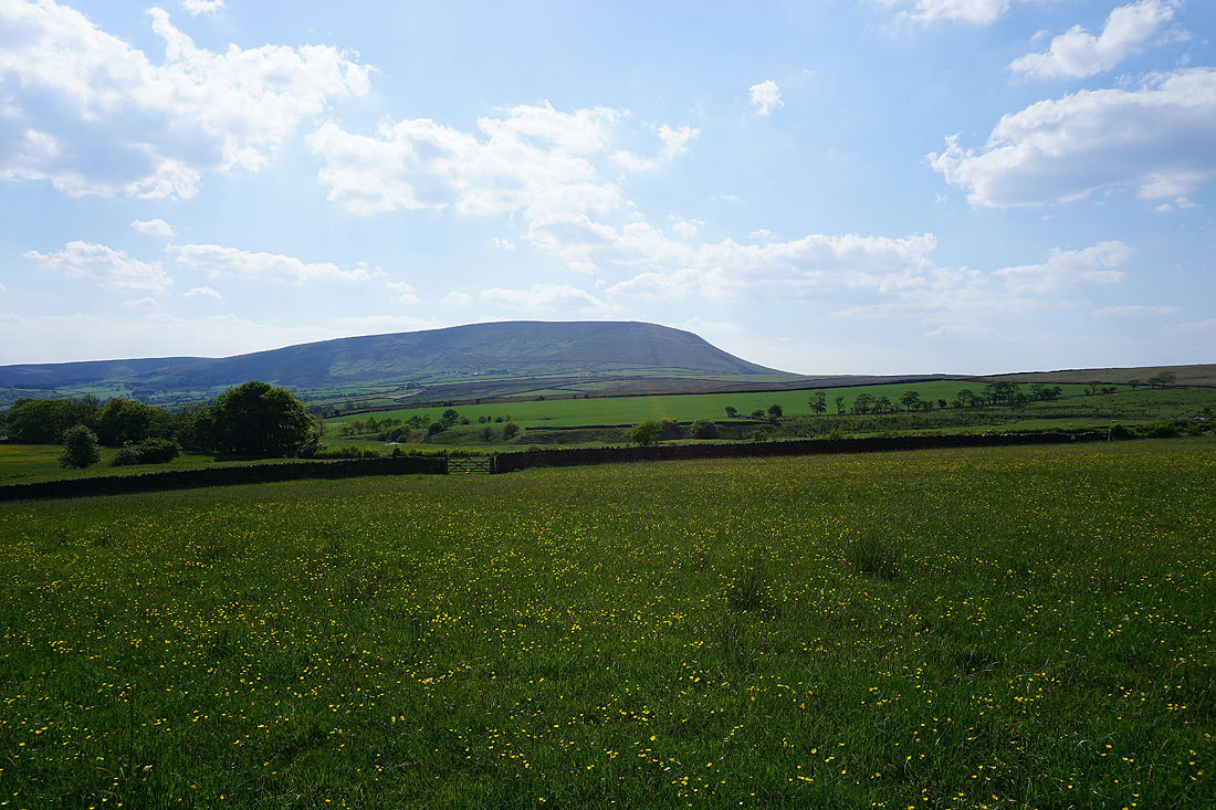
Pendle Hill and Blacko Hill
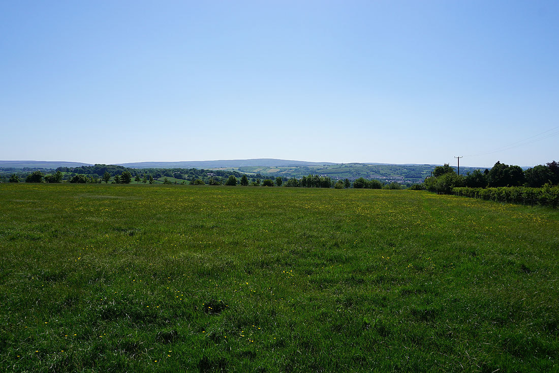
Boulsworth Hill in the distance
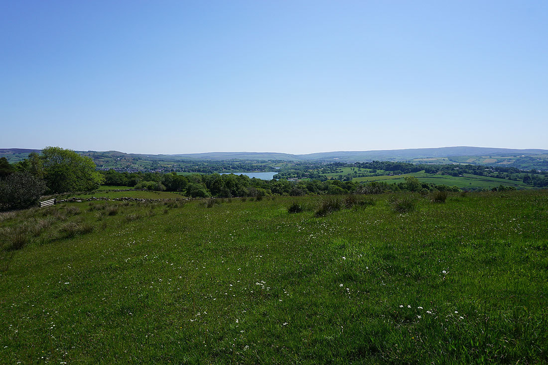
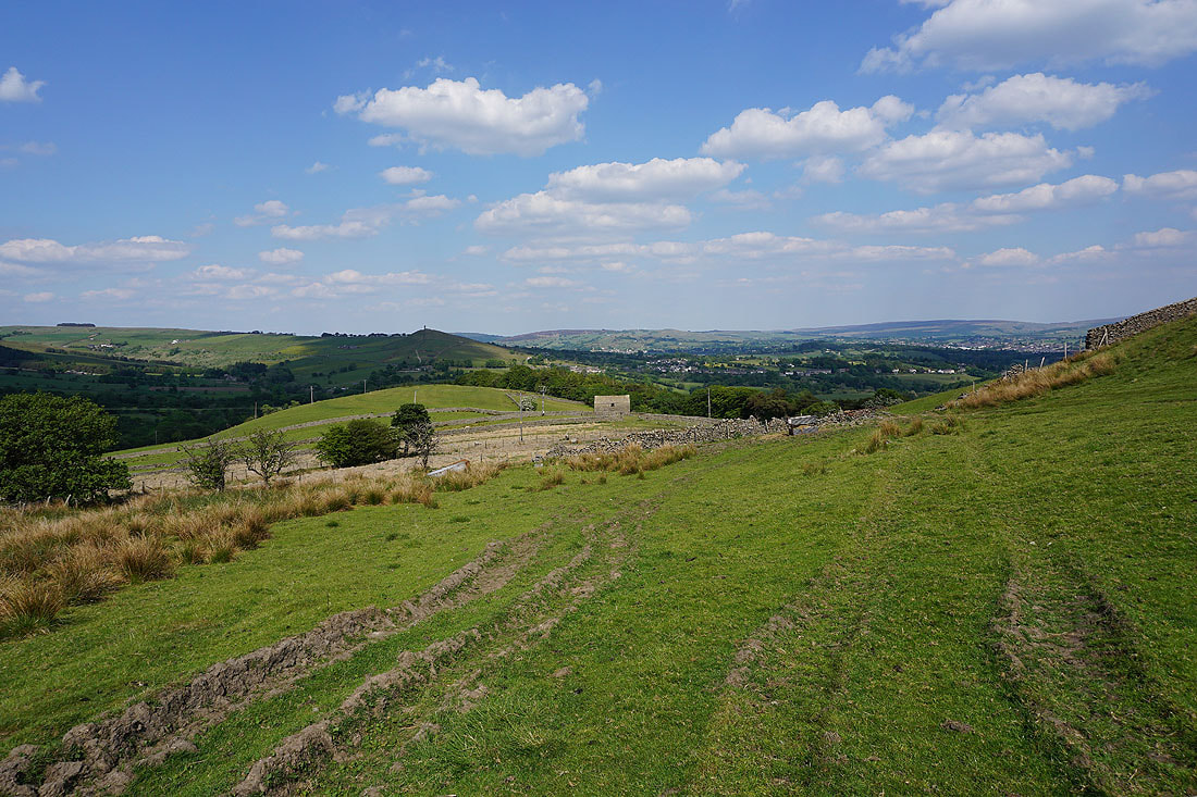
Foulridge Lower Reservoir with Ickornshaw Moor and Boulsworth Hill in the distance, from the path up past Malkin Tower Farm onto Blacko Hill
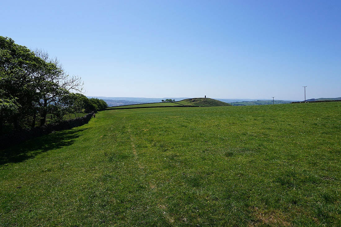
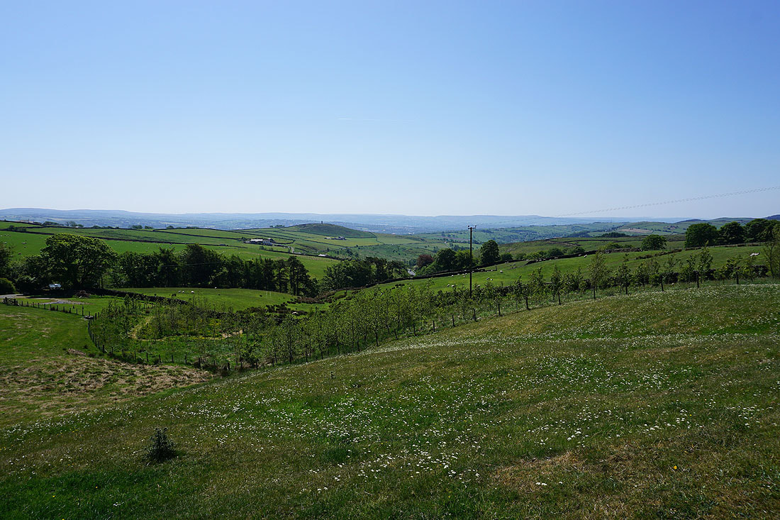
Blacko Hill and Stansfield Tower
Blacko Hill and Pendle Hill
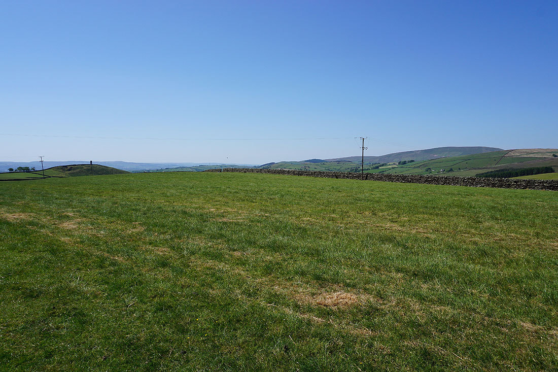
Blacko Hill, Pendle Hill and the countryside of the Forest of Pendle from Gisburn Old Road
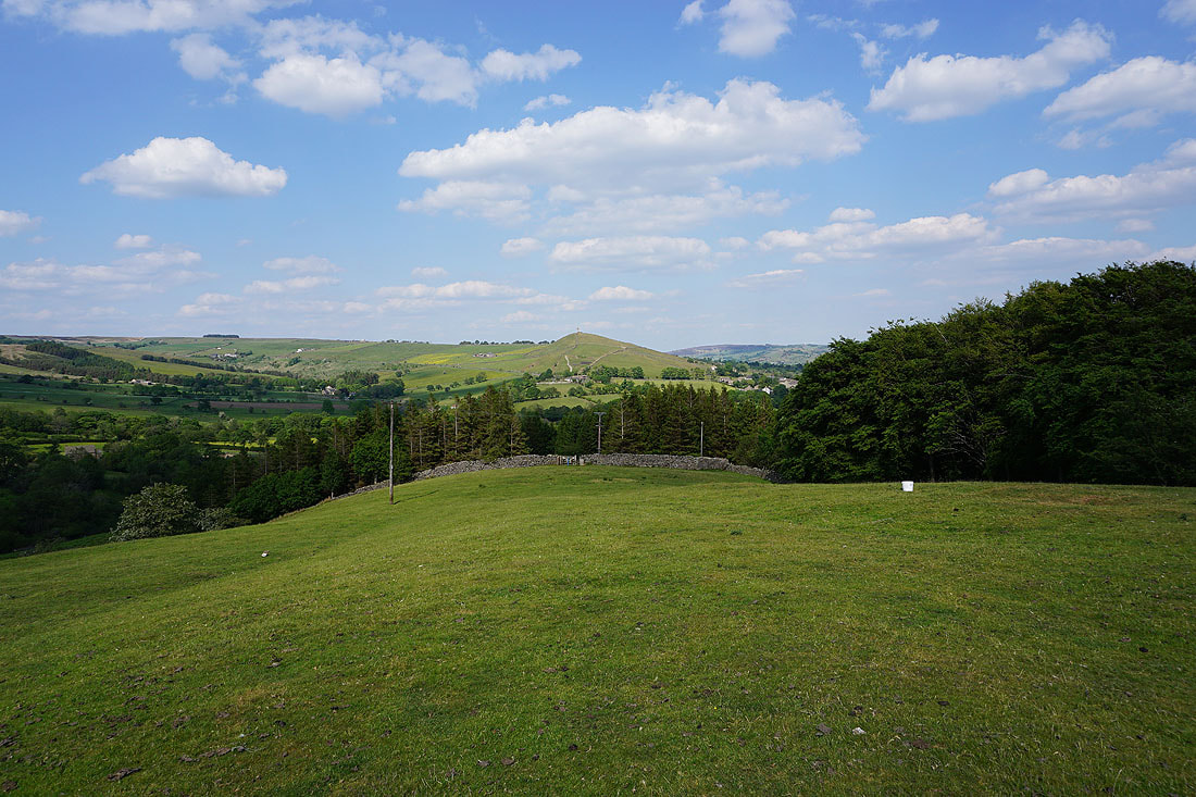
Looking down the valley of Admergill Water to Blacko Hill, with the South Pennine moors in the distance
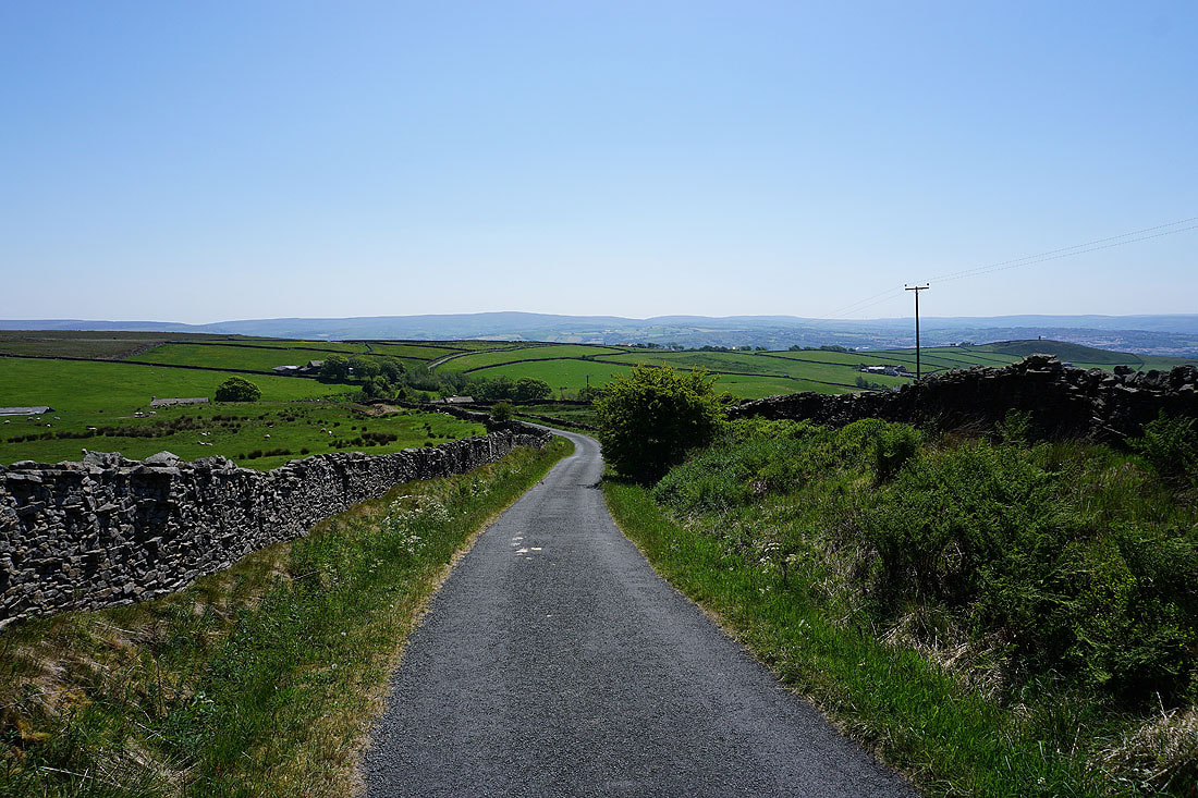
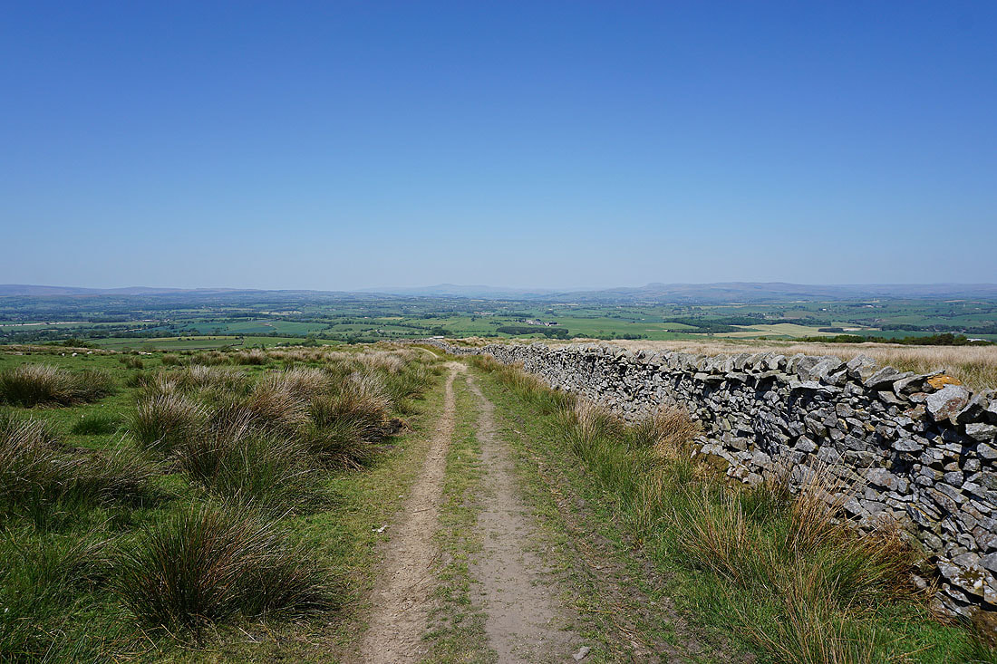
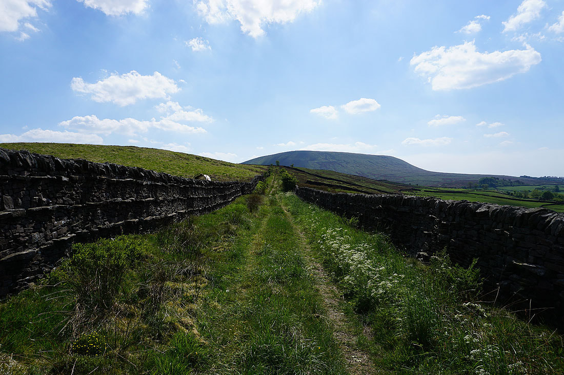
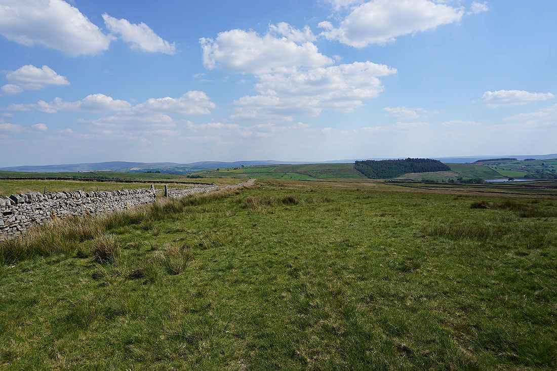
Looking down Gisburn Old Road to Boulsworth Hill in the distance
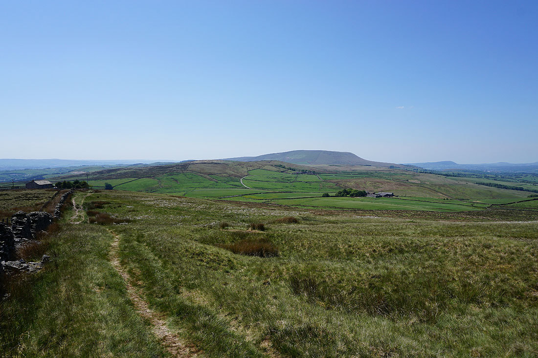
Burn Moor, Rimington Moor and Pendle Hill as I head for the top of Weets Hill
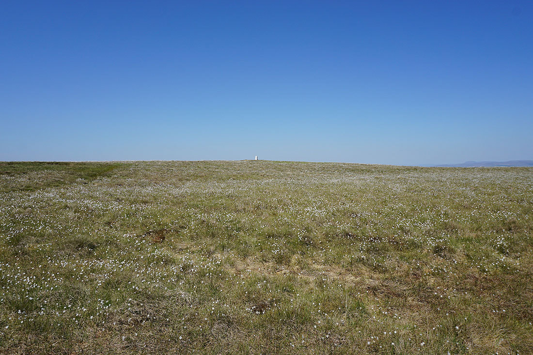
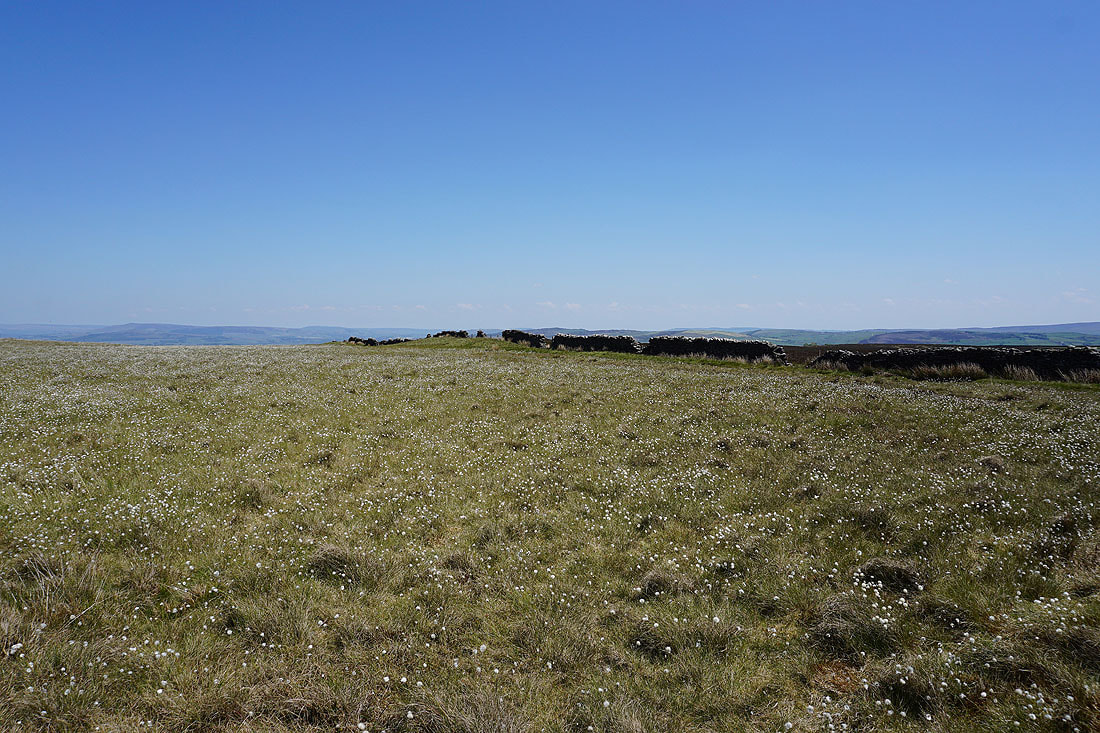
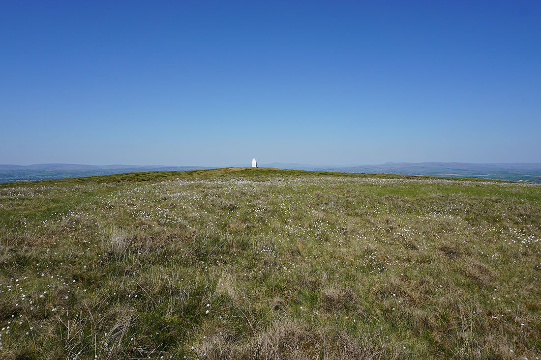
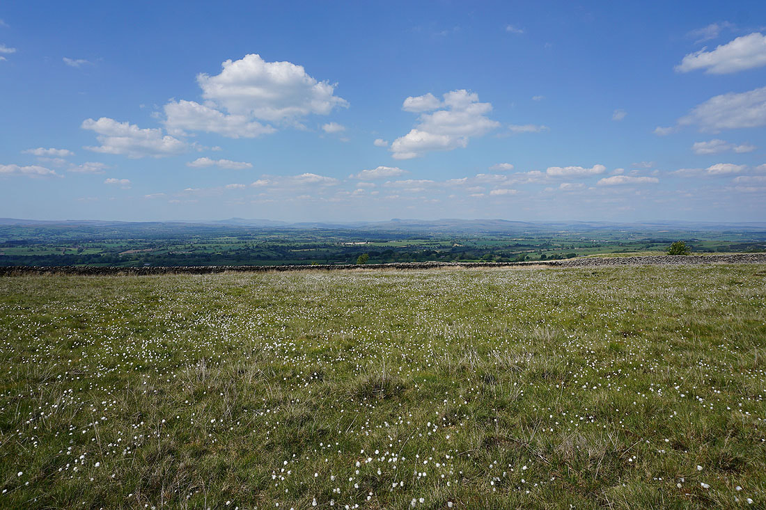
Seas of cotton grass on Weets Hill...
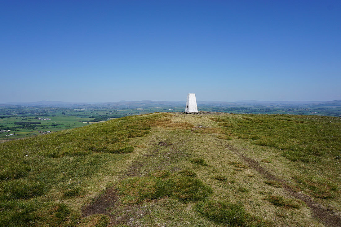
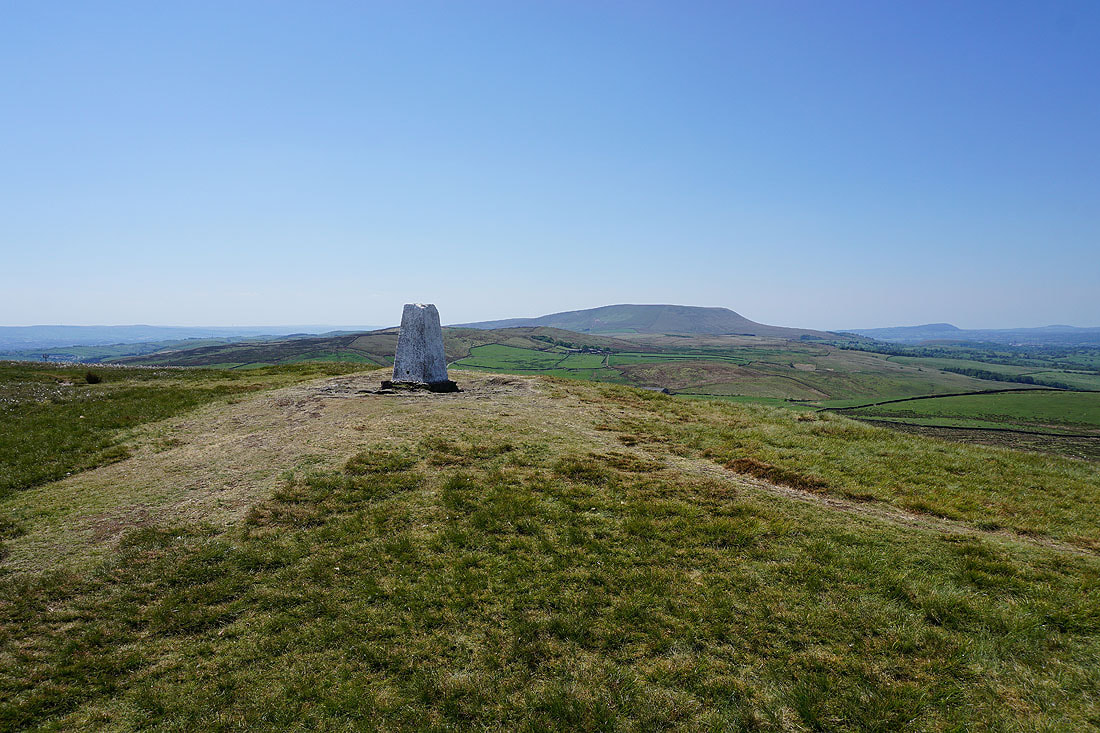
At the trig point on Weets Hill and its great view to the north to the Yorkshire Dales
Ingleborough, Penyghent, and the moors above Settle..
..round to the moors above Malham, Great Whernside, and Barden Moor
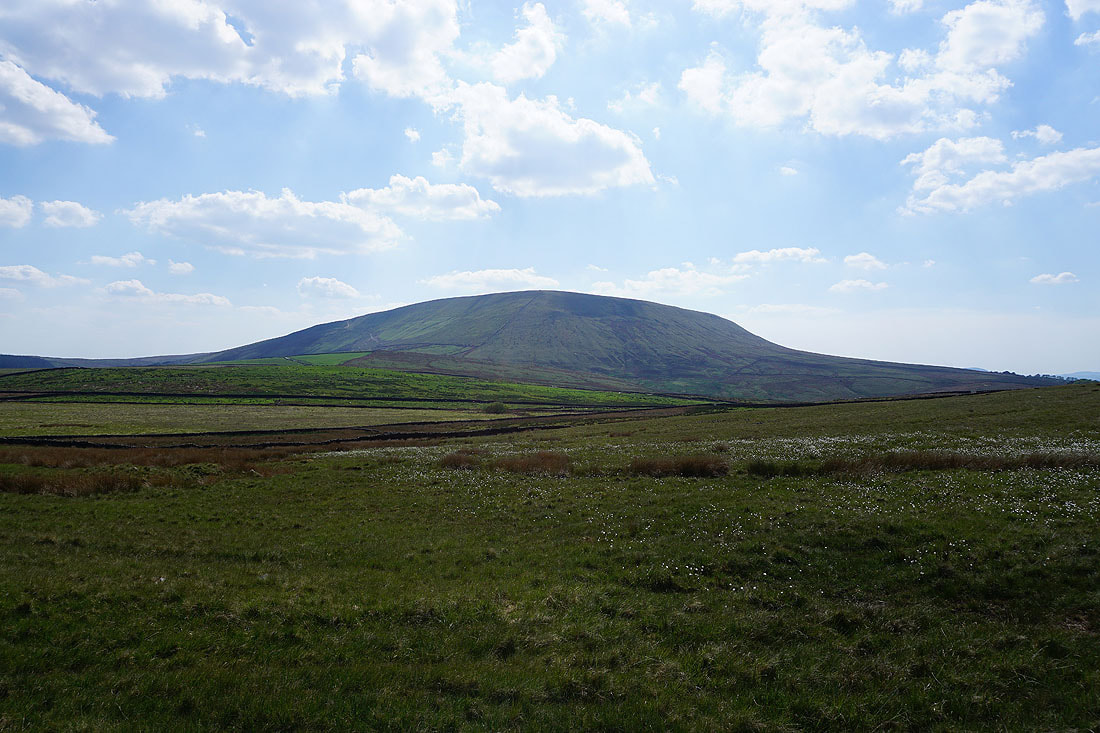
Pendle Hill from Weets Hill
Heading back to Weets House Farm and the Pennine Bridleway
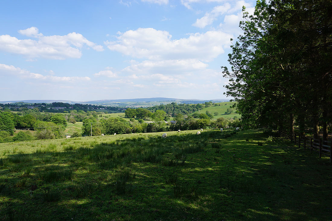
I get a great view of Pendle Hill and the Forest of Bowland on the other side of the Ribble Valley
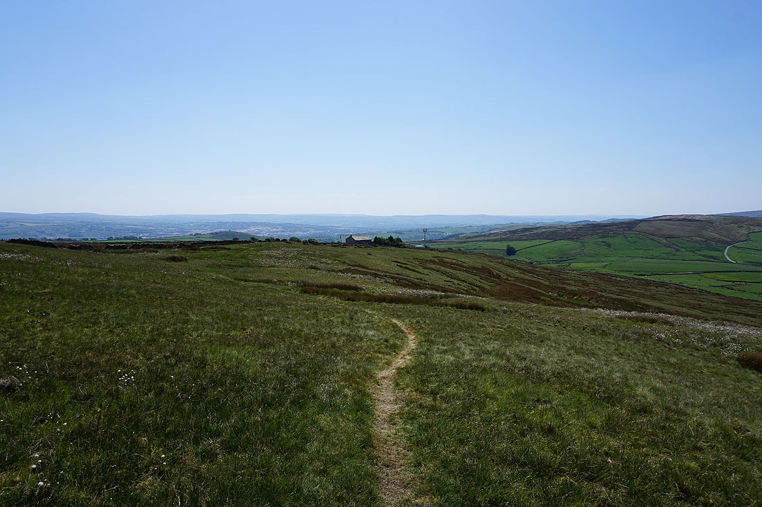
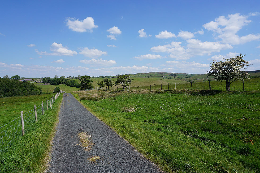
Following the Pennine Bridleway to the north on a beautiful afternoon....
I left the Pennine Bridleway behind at its junction with Stocks Lane and followed it west across the A682
I've reached Middop Hall, and Stocks Lane becomes Whytha Road
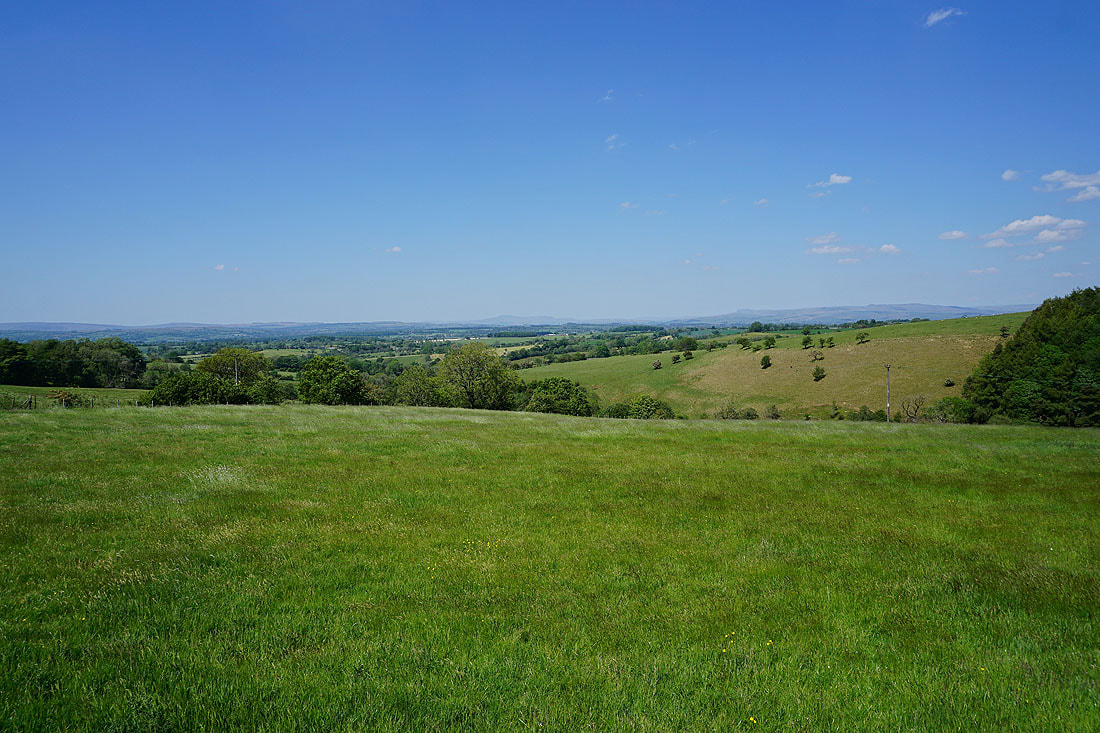
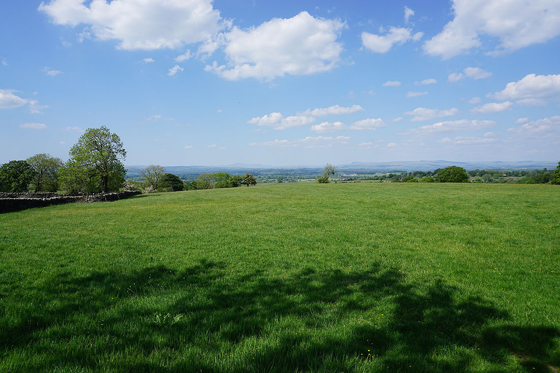
There's a great view to the north across the top of Crag Clough to a distant Ingleborough
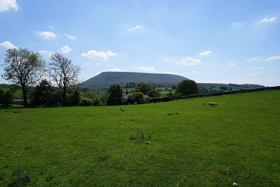
Looking back along Whytha Road with Weets Hill in the distance on the right
I can't resist stopping and taking in that view
Heading down Skeleron Lane..
..to the hamlet of Ings End
Pendle Hill starts to loom large as I pass through the hamlet of Twiston..
Heading east along the lane to Smithy Fold
Ingleborough and Penyghent to the north on the other side of the Ribble Valley
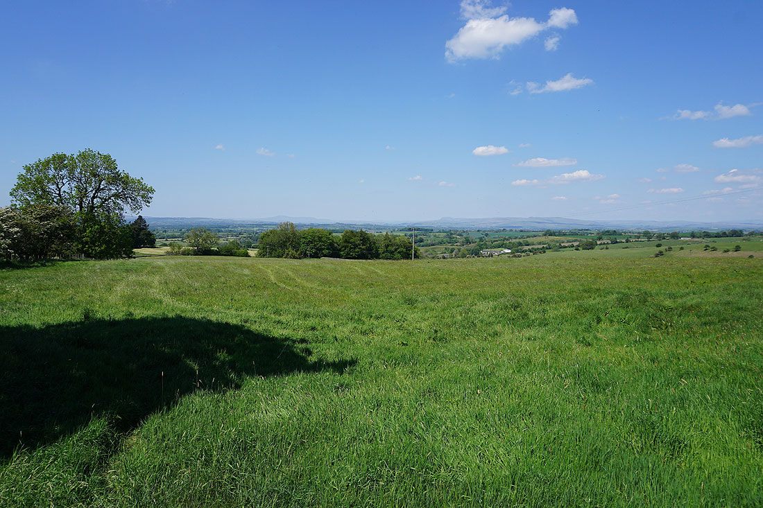
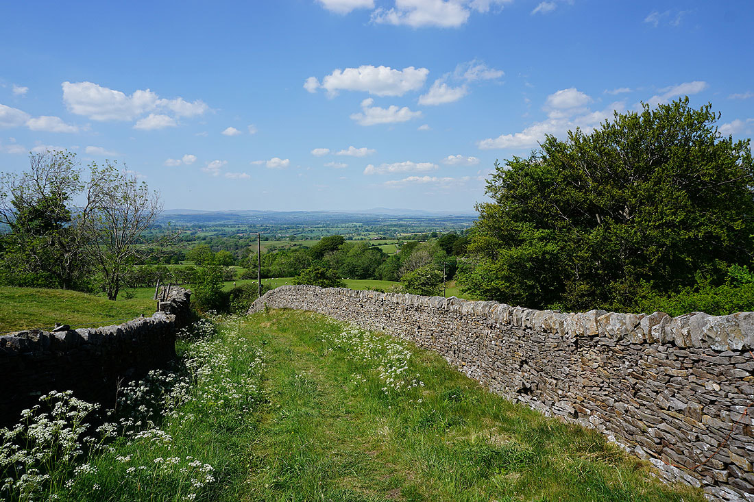
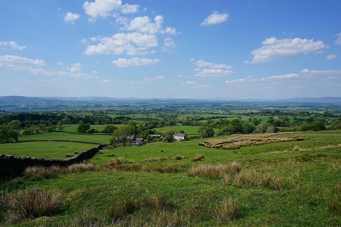
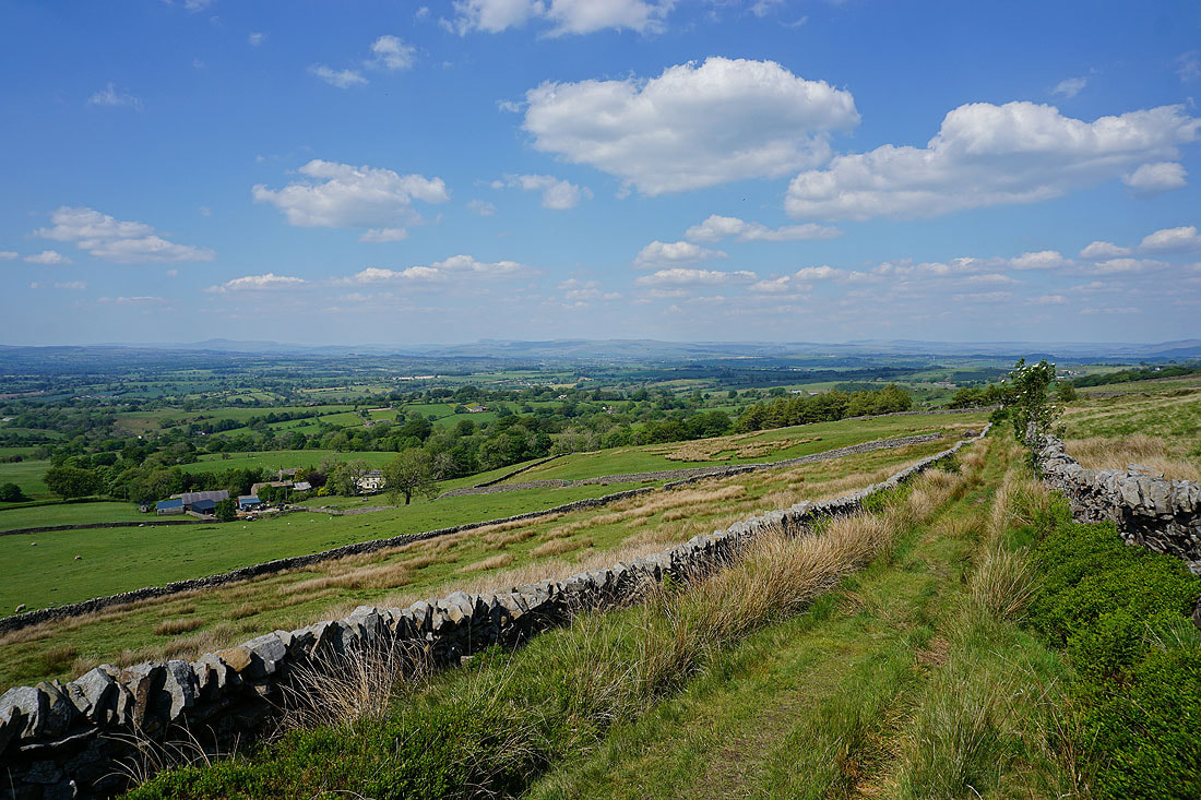
From Smithy Fold a footpath then follows a track up onto Twiston Moor. I think this was my favourite part of the walk, with its fantastic views across the Ribble Valley to the Forest of Bowland and the Yorkshire Dales.
Pendle Hill as I follow the track to the west
I could take in this view for hours....
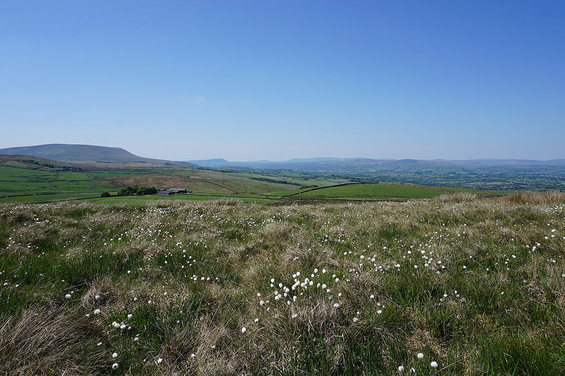
Up amongst the cotton grass on Twiston Moor
Pendle Hill's "Big End" from Twiston Moor
Heading south across Twiston Moor
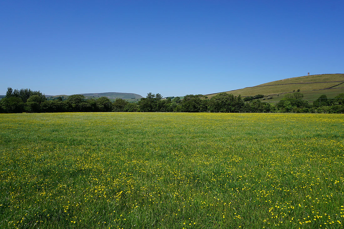
Buttercup filled fields below Mountain Farm..
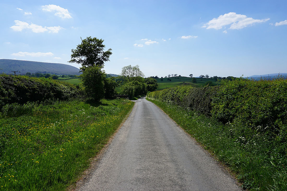
..along with a view of Pendle Hill
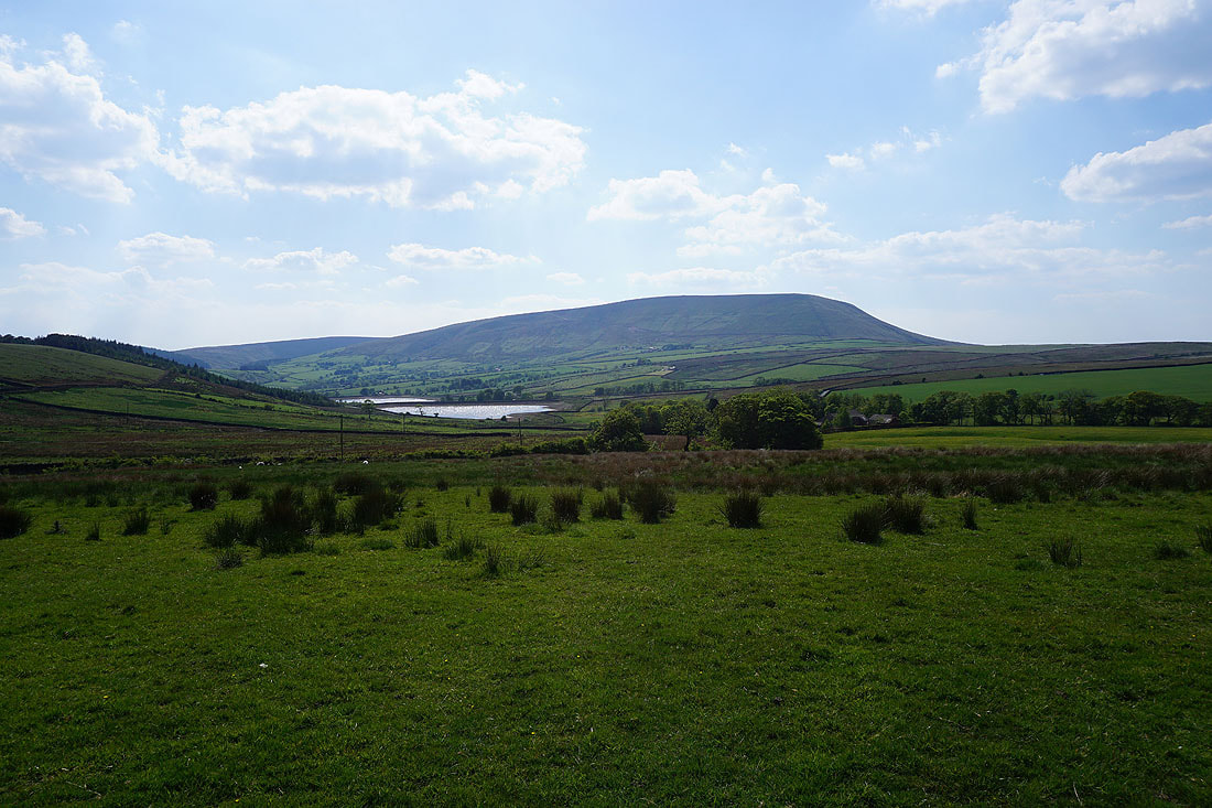
The Black Moss Reservoirs and Pendle Hill
Wheathead Height from Stang Top Road
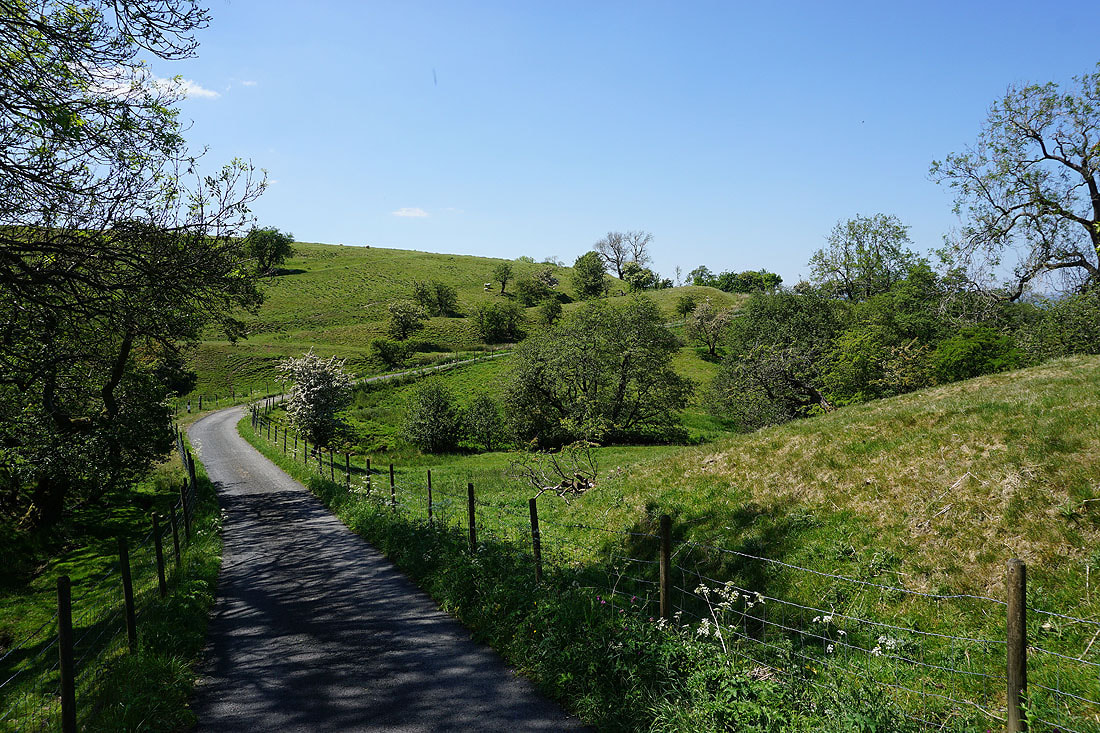
I leave Stang Top Road for a footpath round the side of Brown Hill with a view of Blacko Hill ahead of me..
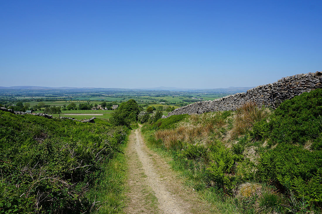
A distant Boulsworth Hill as I head down to Blacko Bar Road and where I'm parked
