31st May 2021 - Hebden Dale and High Brown Knoll
Walk Details
Distance walked: 12.8 miles
Total ascent: 2573 ft
OS map used: OL21 - South Pennines
Time taken: 7 hrs
Route description: Clough Foot, Widdop Road-Pennine Bridleway-Reaps Cross-Standing Stone Hill-Edge Lane-Pennine Way-Hot Stones Hill-Knoll Top-Slack-Hebden Wood-Hebden Dale-Pecket Well Clough-Wadsworth memorial-Lower Crimsworth-Pecket Well- Old Lane-Deer Stones Edge-High Brown Knoll-Naze End-A6033-Old Road-Lumb Bridge-Calder/Aire Link-Walshaw-Black Dean-Holme Ends-Calder/Aire Link-Pennine Way-Clough Foot, Widdop Road
For my second walk of the Bank Holiday weekend I decided to head south across the moors to Calderdale for what is my first proper walk in the area since moving house a couple of years ago. The shortest route from where I now live in Foulridge is via a narrow and winding moorland road that isn't in the best of condition. If I don't go that way then it's the long way round through Burnley and Todmorden, or Stanbury and Oxenhope. I finally decided to brave it today for a route that I'd worked out that took in the moorland around Hebden Dale and Crimsworth Dean to the north of Hebden Bridge. Most of it was already familiar territory but I did walk along some footpaths and bridleways that were new to me. It was another beautiful day for being on the moors with lots of blue skies and warm sunshine, although with the visibility not being as good as yesterday the views were quite hazy. I got the walks the right way round then, and for information that moorland road was as unpleasant to drive along as I thought it would be.
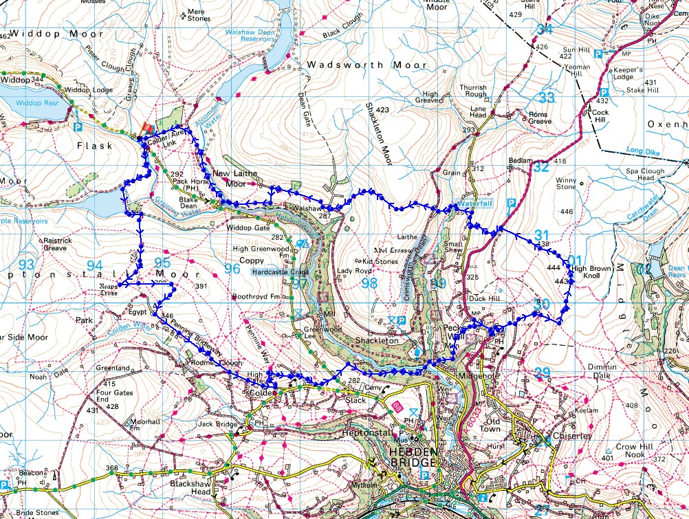
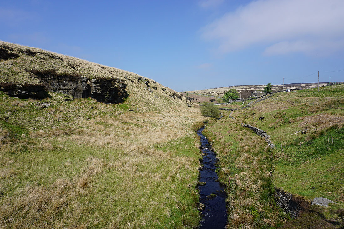
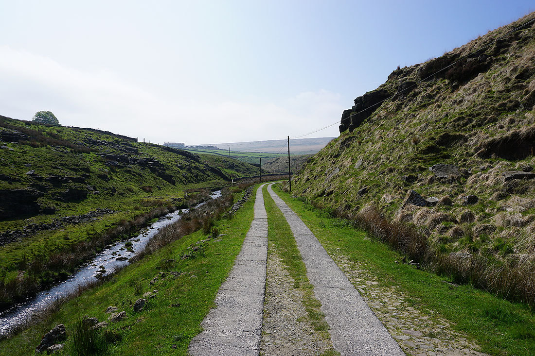
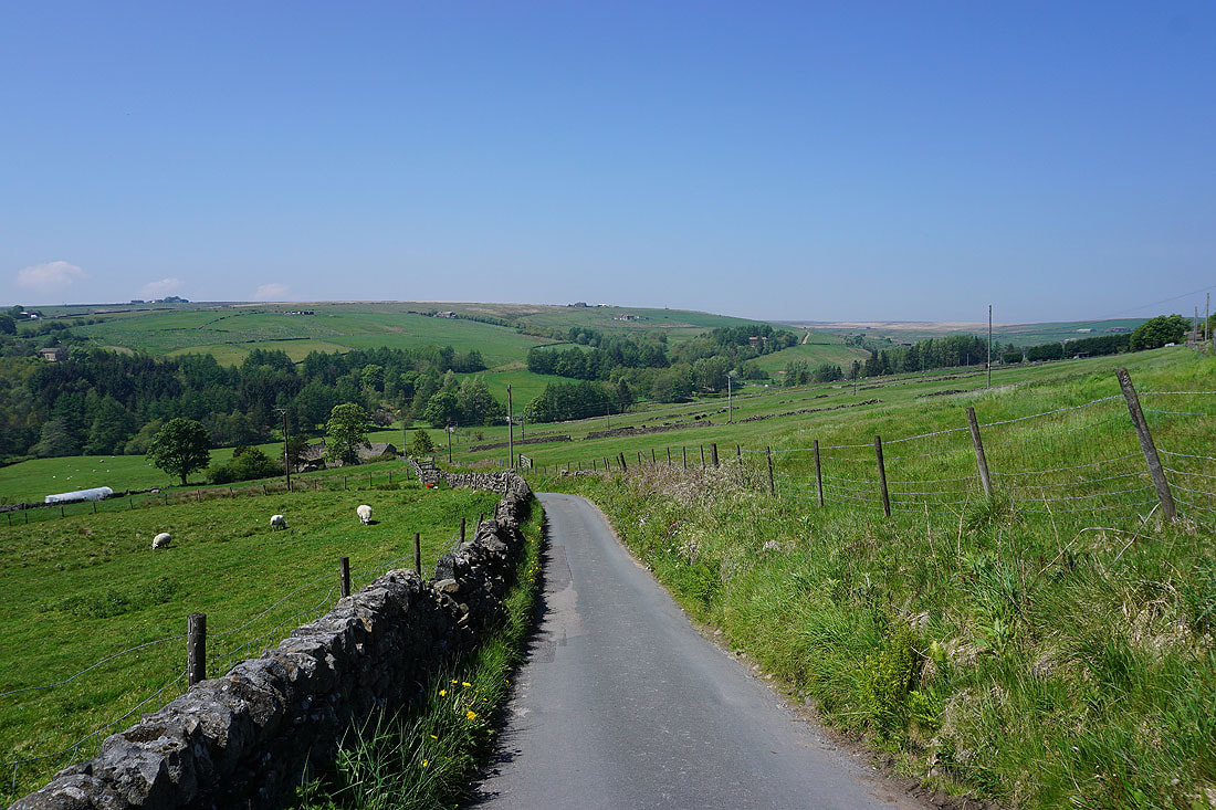
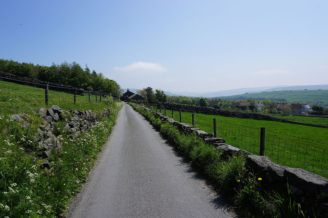
From where I parked in the layby on Widdop Road at Clough Foot, I crossed the road and took the Pennine Bridleway opposite above Graining Water, up to and across the dam of Gorple Lower Reservoir, and up to Reaps Bottom. I left the Pennine Bridleway here to follow a path up to the trig point on Standing Stone Hill before returning to it via a footpath down the southern slopes of the moor to Edge Lane. I then walked down Edge Lane until I reached the Pennine Way on the left, which I took up onto Hot Stones Hill, before leaving it for a track on the right down to Knoll Top, and a footpath down to Widdop Road in Slack. After crossing the road I took the footpath opposite between some cottages, down through a couple of fields to the top of Hebden Wood, and then east along the top of the wood before taking a path down through the woods to reach a track below, which I followed to the bridge over Hebden Water opposite the car park for the National Trust's Hardcastle Crags. After a very brief walk along Midgehole Road I took a bridleway on the left up Pecket Well Clough, then a footpath on the left up to the Wadsworth war memorial, where I stopped for lunch. Break had, I resumed by taking the footpath up to Lower Crimsworth, then one east across fields and a bridleway up to the A6033 in Pecket Well. I then walked down the road in Pecket Well until I reached the bridleway up Old Lane on the left, which I followed uphill to another bridleway, which I took to reach access land and a path up onto Deer Stones Edge. From Deer Stones Edge I made my way north to the trig point on High Brown Knoll, then west along a bridleway to Naze End and down to the A6033, which I crossed to take the bridleway opposite down to Old Road in Crimsworth Dean. I then walked a short distance north along Old Road before taking a bridleway on the left down to Lumb Bridge and up to the ruined farm of Nook. I then took the bridleway across the southern end of Shackleton Knoll to the hillside hamlet of Walshaw, where I turned right and followed the track up Hebden Dale until I reached New Laithe Farm where I took a footpath on the left down into Black Dean. I followed the path west up Black Dean, crossed a footbridge over Alcomden Water, then followed a track and footpath north above Alcomden Water to Holme Ends, where I turned left and followed a track north to join the trail of the Pennine Way. A brief walk west along the Pennine Way and I was back at the layby at Clough Foot where I'd parked my car.
Total ascent: 2573 ft
OS map used: OL21 - South Pennines
Time taken: 7 hrs
Route description: Clough Foot, Widdop Road-Pennine Bridleway-Reaps Cross-Standing Stone Hill-Edge Lane-Pennine Way-Hot Stones Hill-Knoll Top-Slack-Hebden Wood-Hebden Dale-Pecket Well Clough-Wadsworth memorial-Lower Crimsworth-Pecket Well- Old Lane-Deer Stones Edge-High Brown Knoll-Naze End-A6033-Old Road-Lumb Bridge-Calder/Aire Link-Walshaw-Black Dean-Holme Ends-Calder/Aire Link-Pennine Way-Clough Foot, Widdop Road
For my second walk of the Bank Holiday weekend I decided to head south across the moors to Calderdale for what is my first proper walk in the area since moving house a couple of years ago. The shortest route from where I now live in Foulridge is via a narrow and winding moorland road that isn't in the best of condition. If I don't go that way then it's the long way round through Burnley and Todmorden, or Stanbury and Oxenhope. I finally decided to brave it today for a route that I'd worked out that took in the moorland around Hebden Dale and Crimsworth Dean to the north of Hebden Bridge. Most of it was already familiar territory but I did walk along some footpaths and bridleways that were new to me. It was another beautiful day for being on the moors with lots of blue skies and warm sunshine, although with the visibility not being as good as yesterday the views were quite hazy. I got the walks the right way round then, and for information that moorland road was as unpleasant to drive along as I thought it would be.
From where I parked in the layby on Widdop Road at Clough Foot, I crossed the road and took the Pennine Bridleway opposite above Graining Water, up to and across the dam of Gorple Lower Reservoir, and up to Reaps Bottom. I left the Pennine Bridleway here to follow a path up to the trig point on Standing Stone Hill before returning to it via a footpath down the southern slopes of the moor to Edge Lane. I then walked down Edge Lane until I reached the Pennine Way on the left, which I took up onto Hot Stones Hill, before leaving it for a track on the right down to Knoll Top, and a footpath down to Widdop Road in Slack. After crossing the road I took the footpath opposite between some cottages, down through a couple of fields to the top of Hebden Wood, and then east along the top of the wood before taking a path down through the woods to reach a track below, which I followed to the bridge over Hebden Water opposite the car park for the National Trust's Hardcastle Crags. After a very brief walk along Midgehole Road I took a bridleway on the left up Pecket Well Clough, then a footpath on the left up to the Wadsworth war memorial, where I stopped for lunch. Break had, I resumed by taking the footpath up to Lower Crimsworth, then one east across fields and a bridleway up to the A6033 in Pecket Well. I then walked down the road in Pecket Well until I reached the bridleway up Old Lane on the left, which I followed uphill to another bridleway, which I took to reach access land and a path up onto Deer Stones Edge. From Deer Stones Edge I made my way north to the trig point on High Brown Knoll, then west along a bridleway to Naze End and down to the A6033, which I crossed to take the bridleway opposite down to Old Road in Crimsworth Dean. I then walked a short distance north along Old Road before taking a bridleway on the left down to Lumb Bridge and up to the ruined farm of Nook. I then took the bridleway across the southern end of Shackleton Knoll to the hillside hamlet of Walshaw, where I turned right and followed the track up Hebden Dale until I reached New Laithe Farm where I took a footpath on the left down into Black Dean. I followed the path west up Black Dean, crossed a footbridge over Alcomden Water, then followed a track and footpath north above Alcomden Water to Holme Ends, where I turned left and followed a track north to join the trail of the Pennine Way. A brief walk west along the Pennine Way and I was back at the layby at Clough Foot where I'd parked my car.
Route map
© Crown copyright. All rights reserved. License number PU 100034184.
The gritstone crags of Brown Scout above Graining Water..
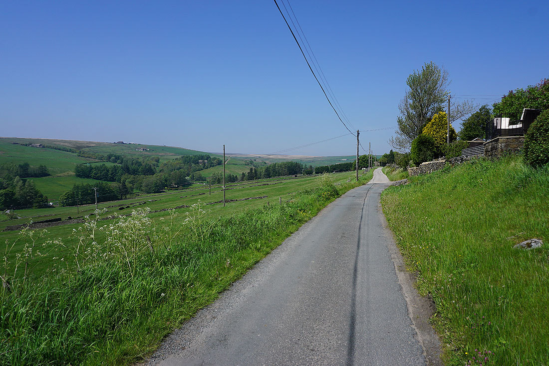
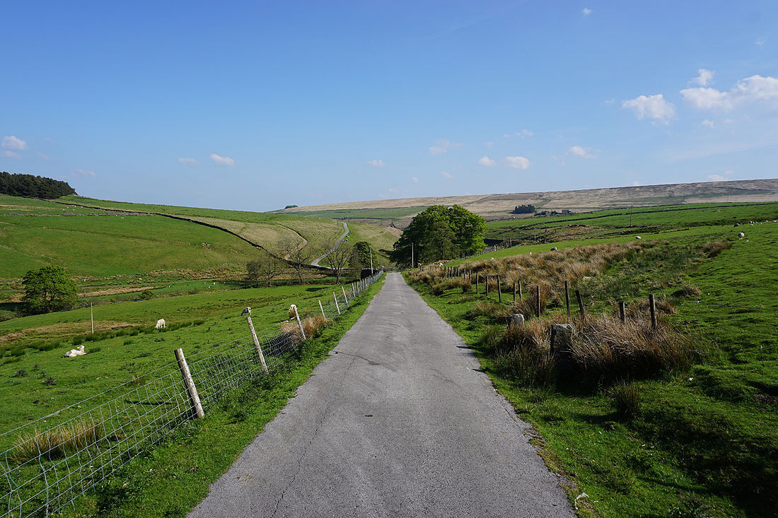
..as I follow the Pennine Bridleway from Clough Foot
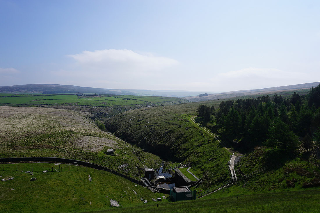
The valley of Graining Water and Ridge Scout from the dam of Gorple Lower Reservoir
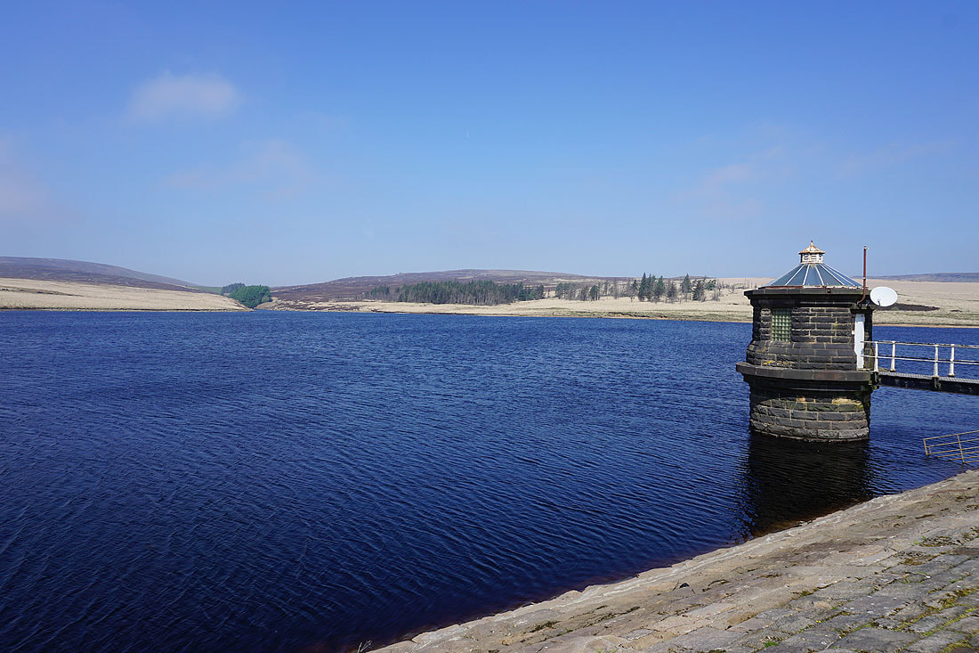
Gorple Lower Reservoir
Looking north to Boulsworth Hill and Round Hill from the Pennine Bridleway up onto Standing Stone Hill
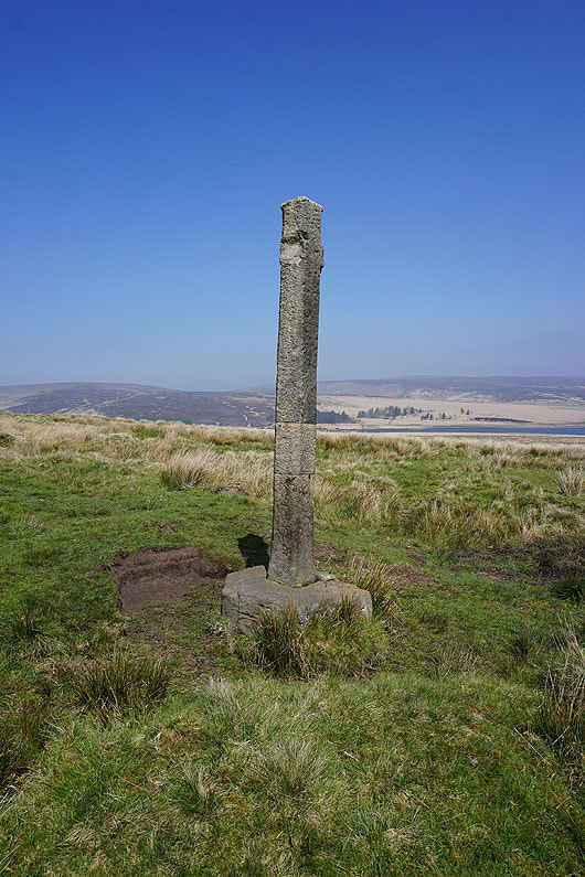
Reaps Cross
Looking west from Standing Stone Hill to Noah Dale and the moorland of Black Hameldon
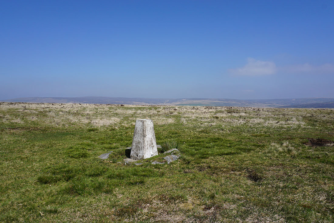
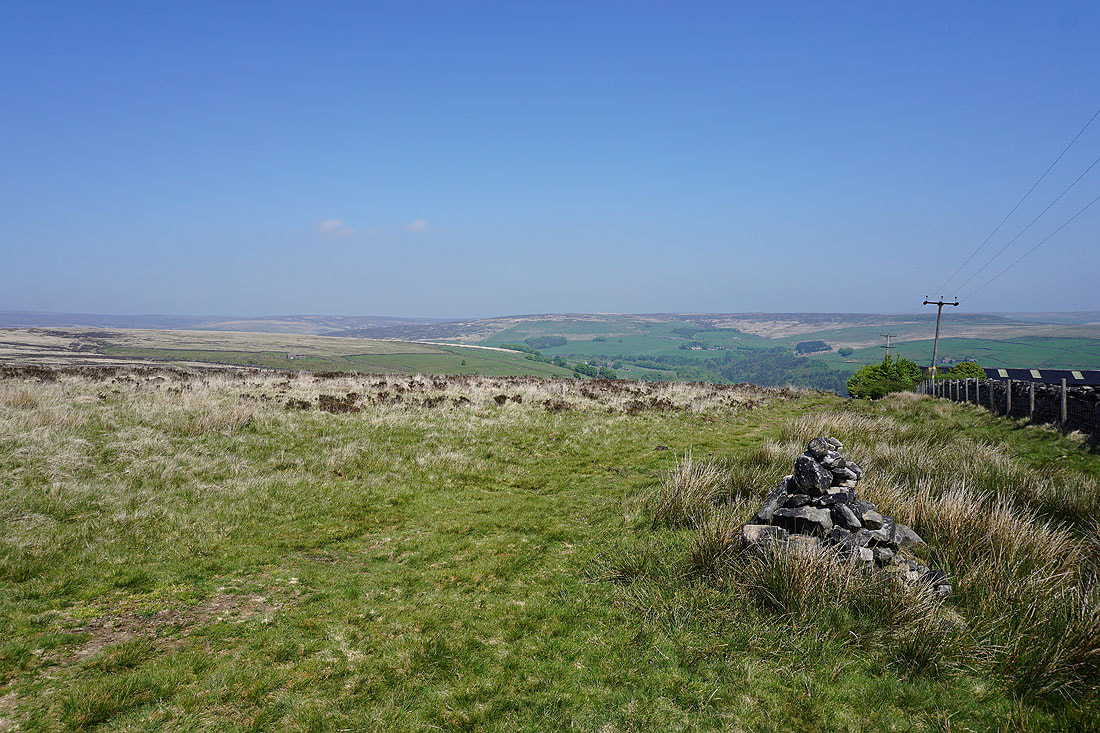
At the trig point on Standing Stone Hill with Boulsworth Hill and Round Hill in the background
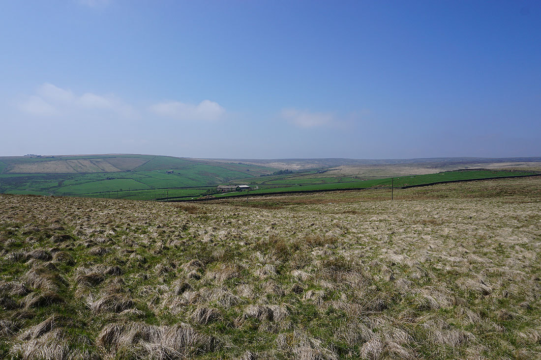
Looking south to the moorland around Colden Clough
After a bit of wandering around I finally located the public footpath off Standing Stone Hill down to Edge Lane at Popples Close
Heading south along Edge Lane
Looking back along Edge Lane..
..and across Colden Clough from the top of School Land Lane
When I reach the trees just ahead on the left I'll leave Edge Lane and take the Pennine Way
Looking across Colden Clough from the Pennine Way up onto Hot Stones Hill
Hebden Dale and Wadsworth Moor from the top of the Pennine Way on Hot Stones Hill

On the track from Hot Stones Hill down to Slack
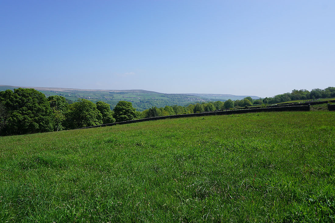
Heptonstall, Colden Clough and the moorland around Hebden Bridge
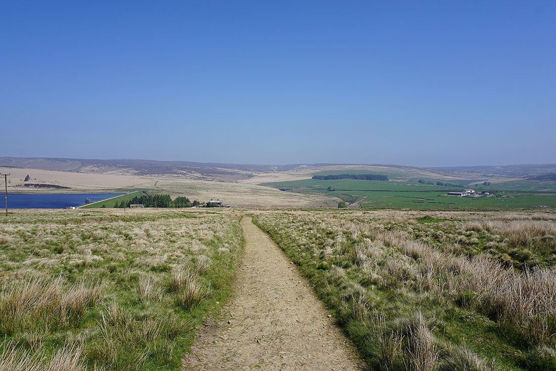
Hebden Dale ahead as I make my way down to Widdop Road in Slack
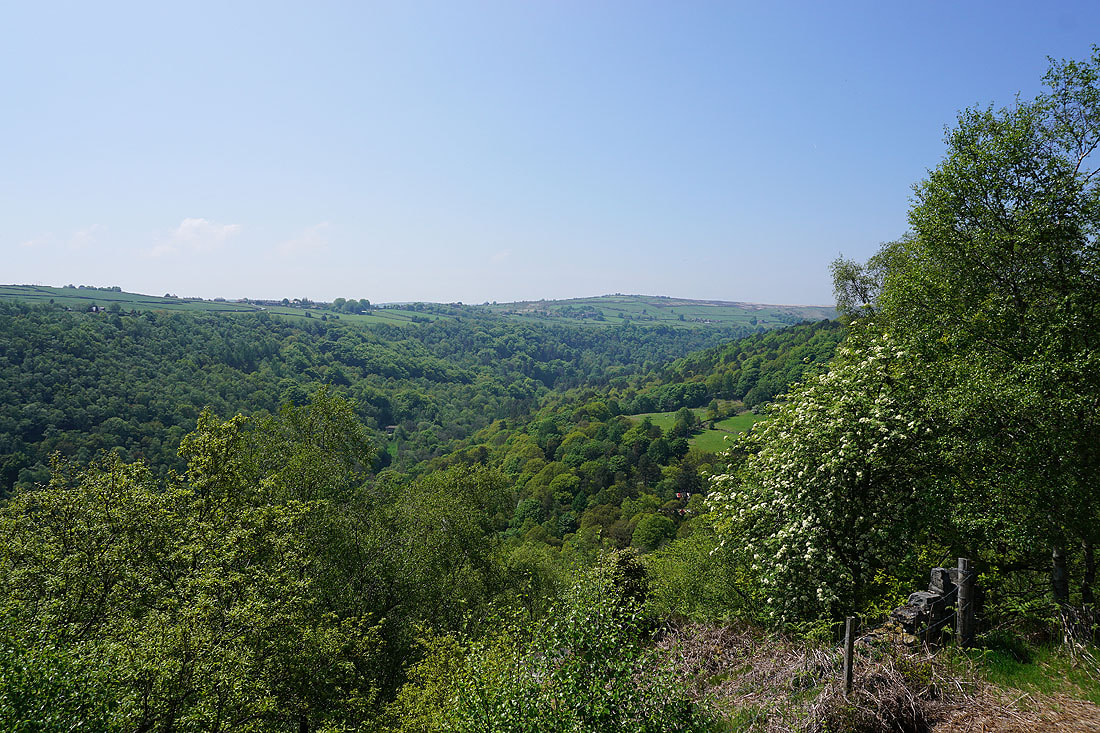
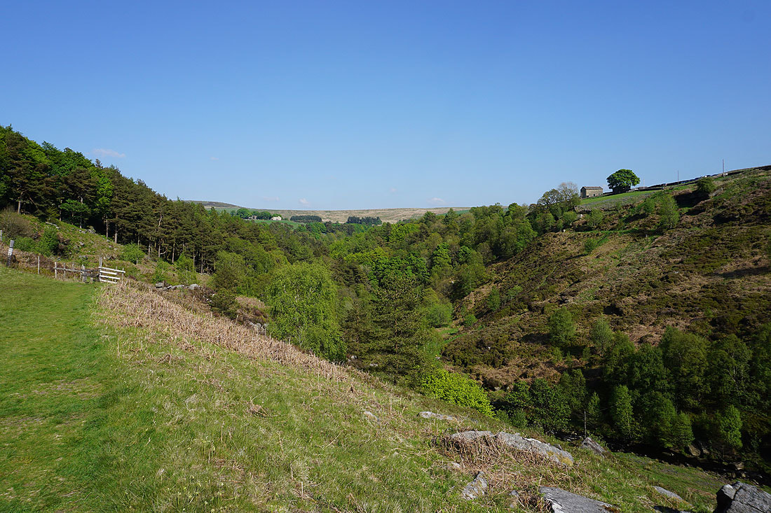
Hebden Dale from the path down to the top of Hebden Wood from Slack..
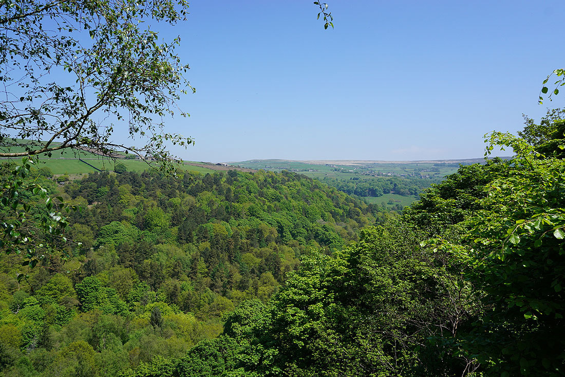
Foul Scout Wood on the other side of Hebden Dale from the top of Hebden Wood
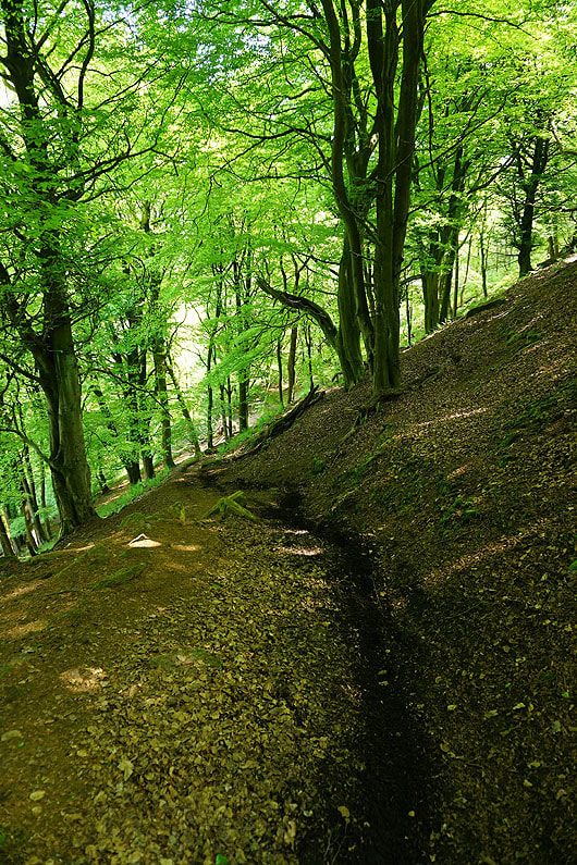
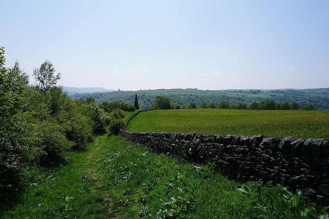
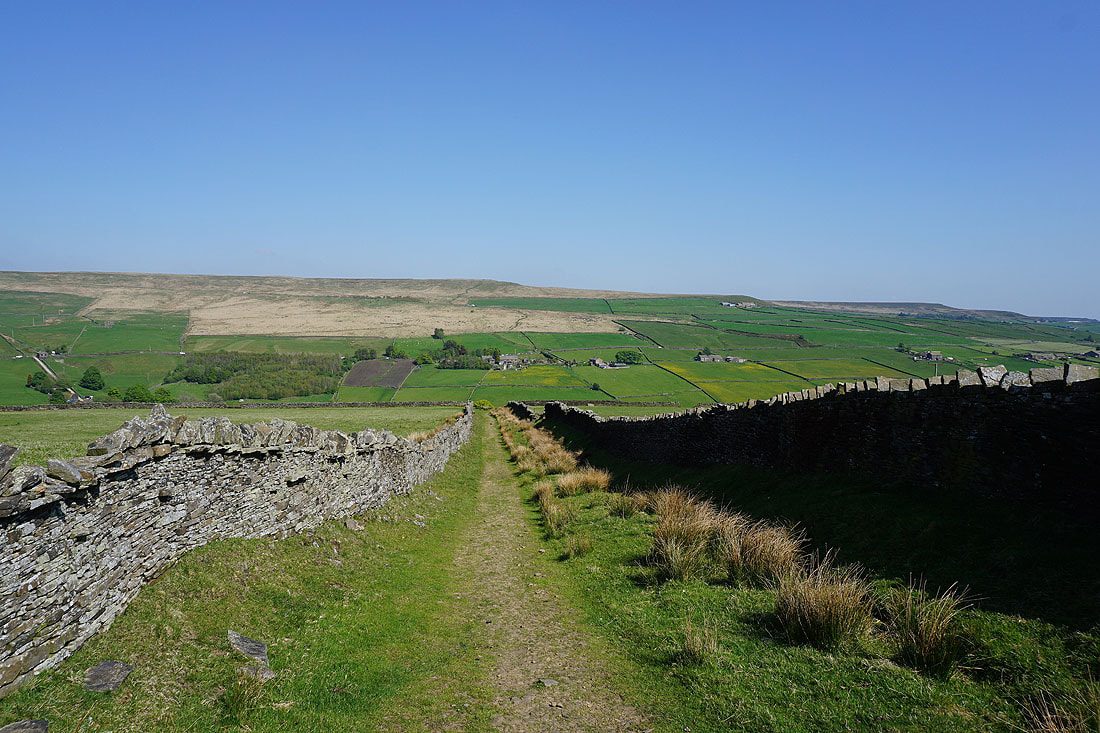
Heading down through Hebden Wood
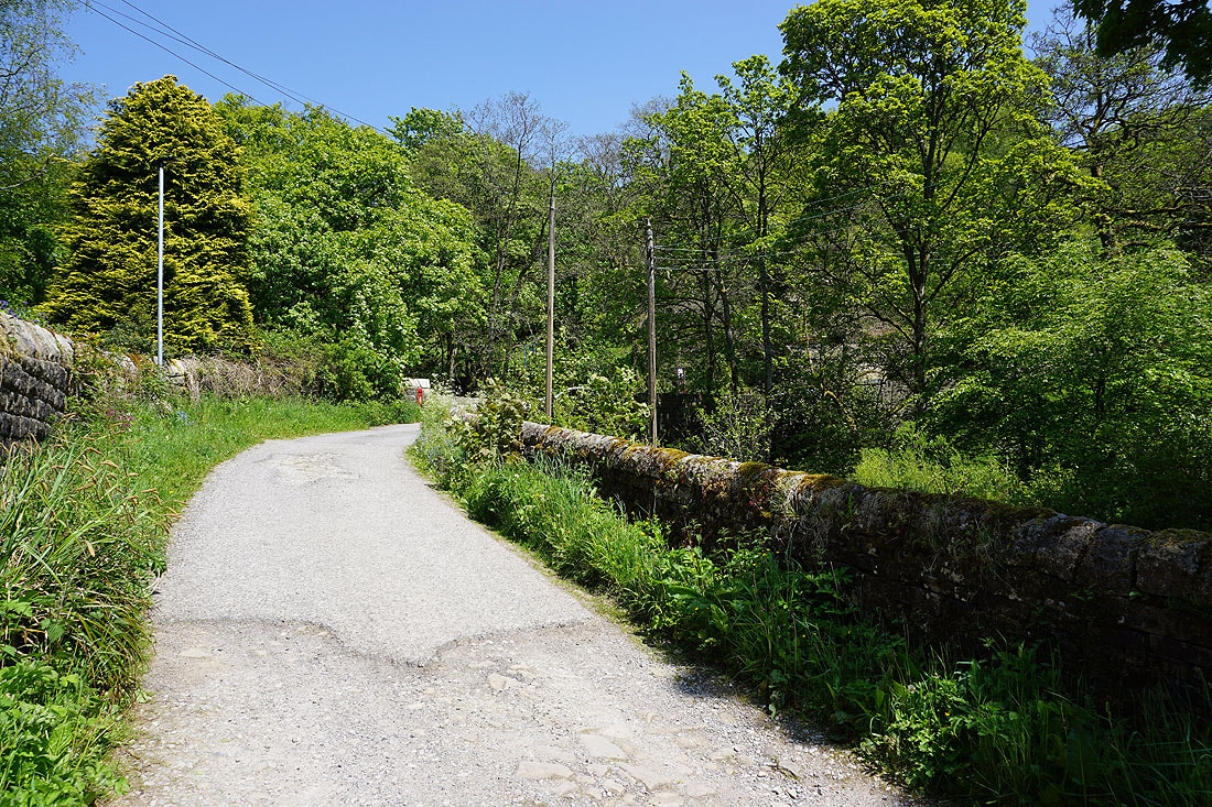
It's been peace and quiet so far, but it's about to become much busier as I cross the bridge over Hebden Water to the National Trust Hardcastle Crags car park
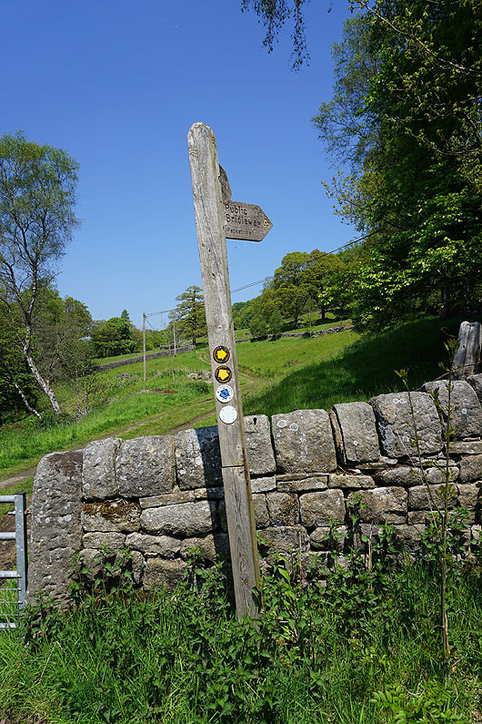
Taking the bridleway up to Pecket Well
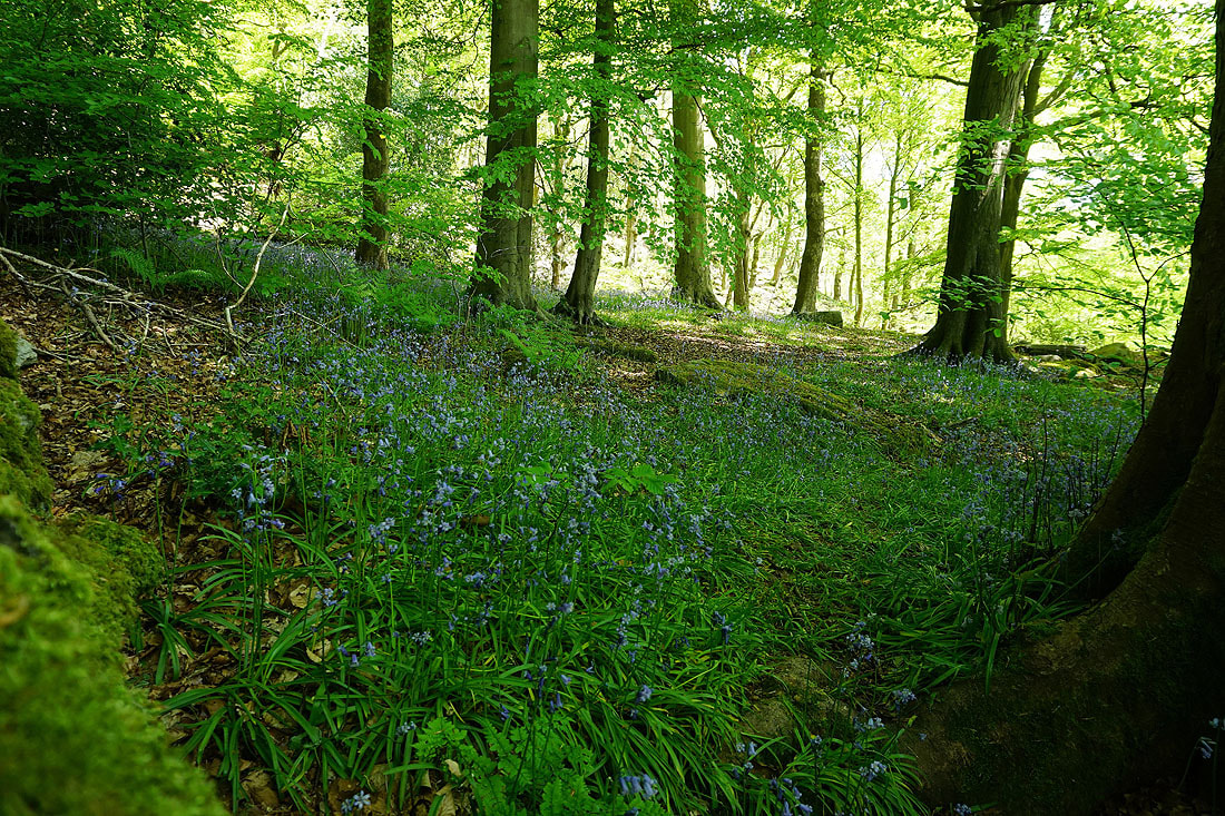
Bluebells in Pecket Well Clough Wood
|
|
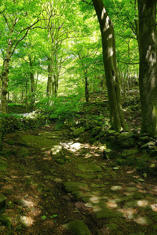
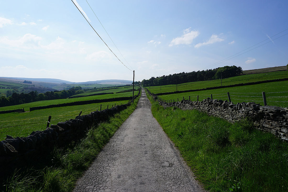
Up the steep and stony bridleway..
I left the bridleway for a path up to the Wadsworth War Memorial. Looking across Hebden Dale to Slack and Hot Stones Hill.

and down Hebden Dale to Hebden Bridge
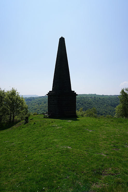
The Wadsworth War Memorial
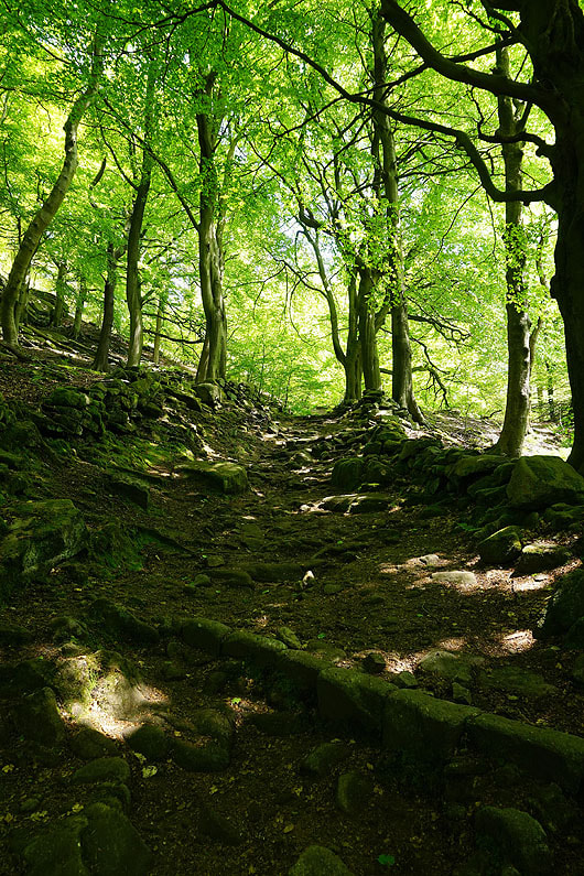
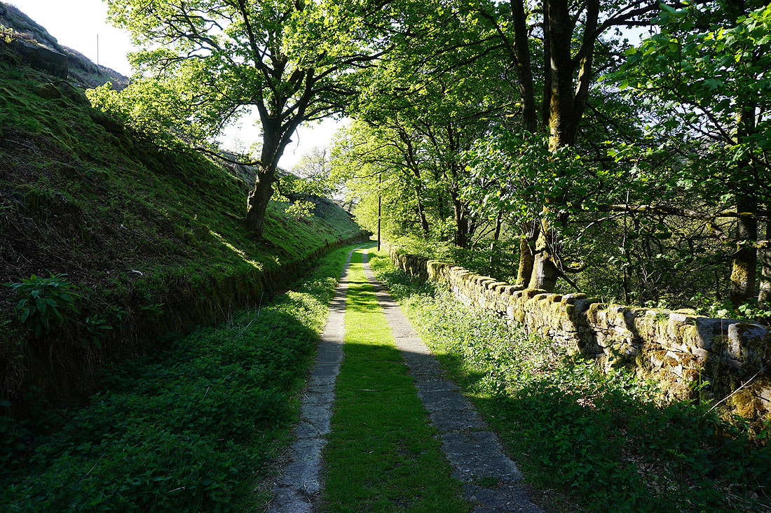
The woodland around the foot of Pecket Well Clough
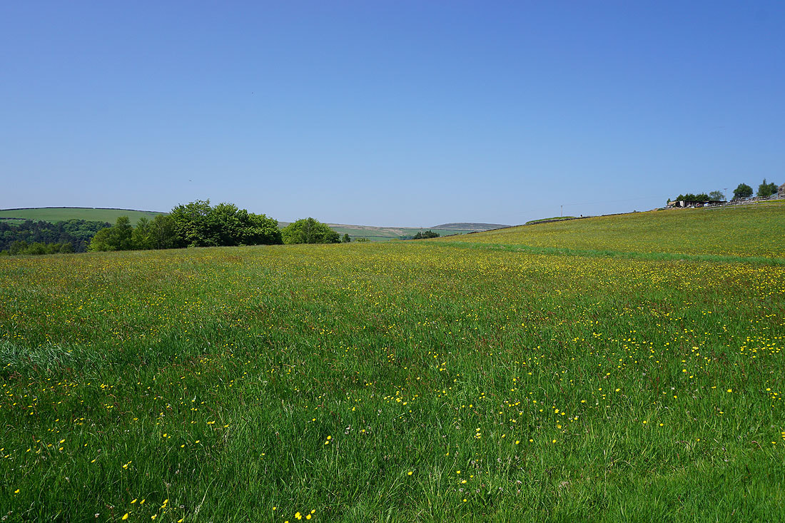
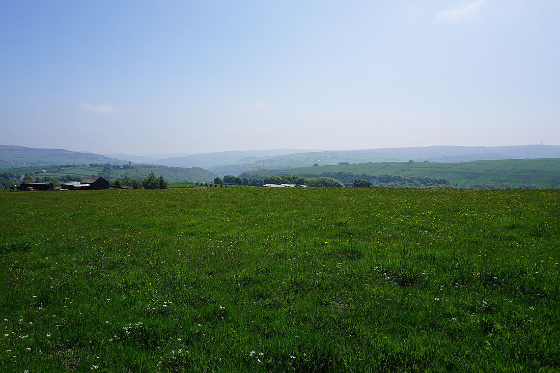
Buttercup filled fields below Lower Crimsworth
Looking back to the war memorial as I take the footpath up to Lower Crimsworth. The tower of the church of St. Thomas the Apostle in Heptonstall stands out on the opposite hillside.

Looking across Hebden Dale to Slack and Hot Stones Hill from Lower Crimsworth
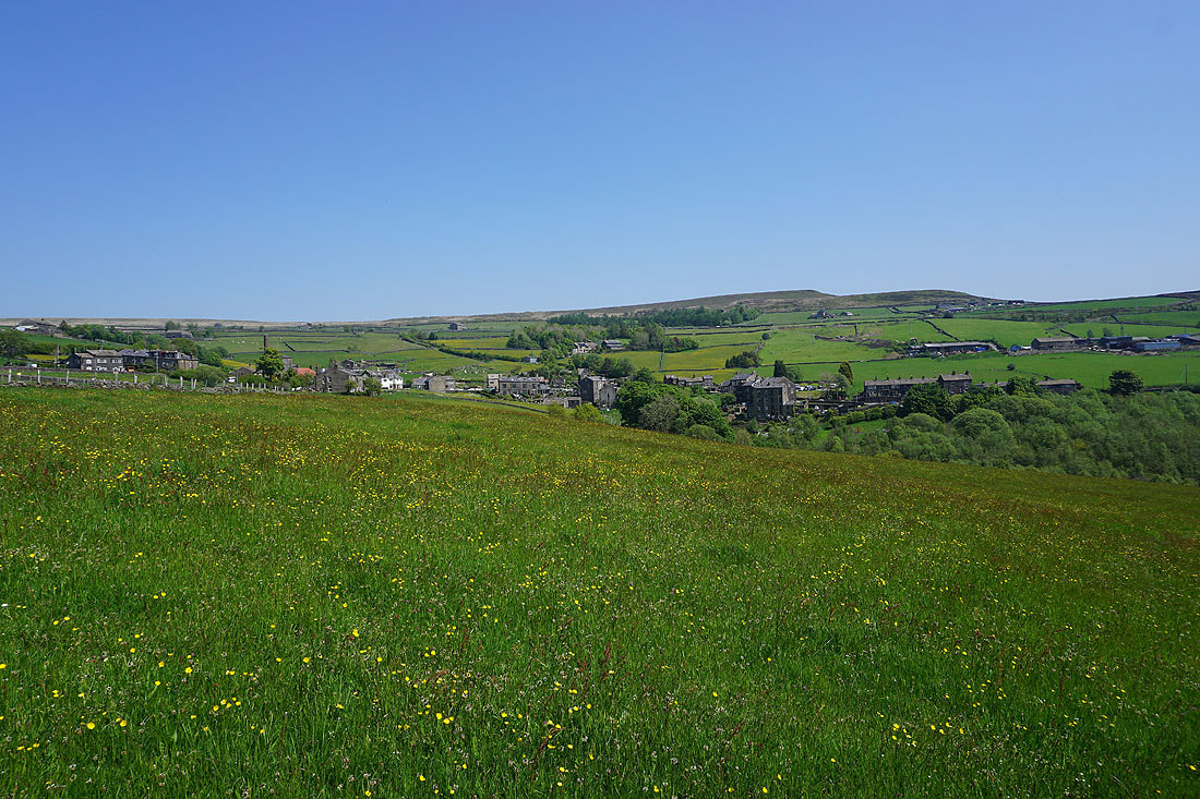
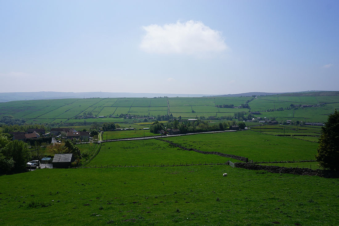
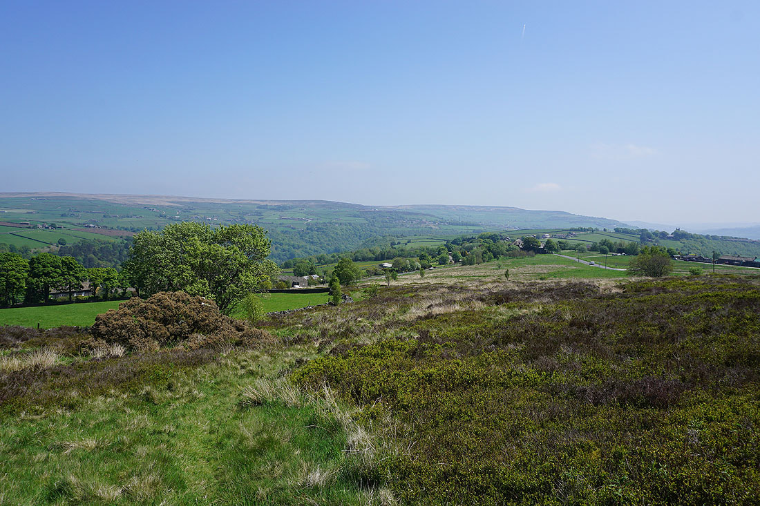
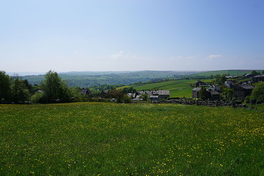
Pecket Well below High Brown Knoll
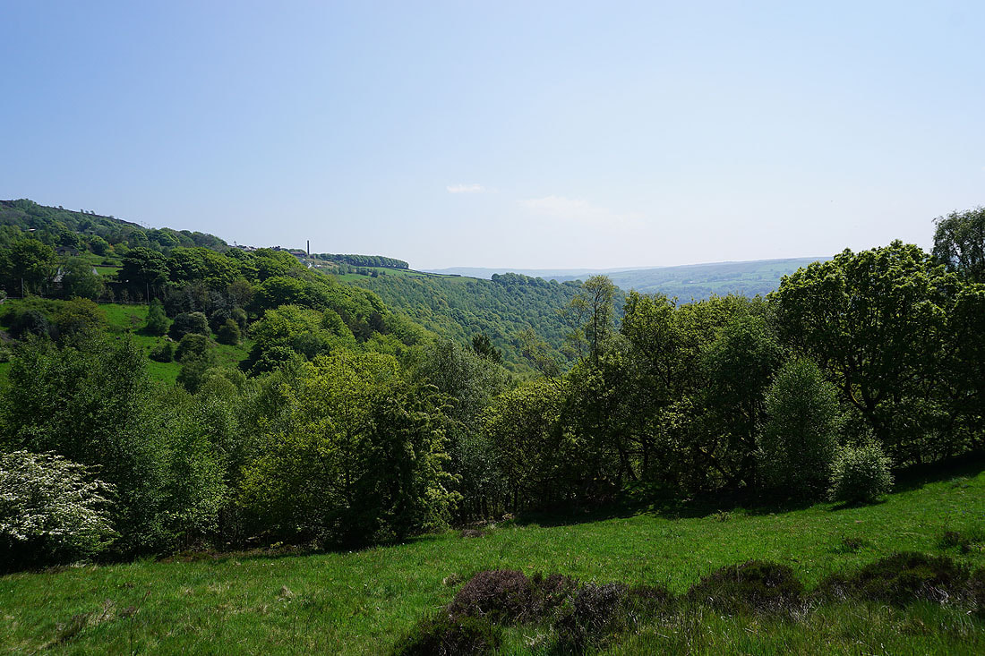
I get a great view of the moors around Hebden Dale and Hebden Bridge as I reach the top of the bridleway up to Pecket Well
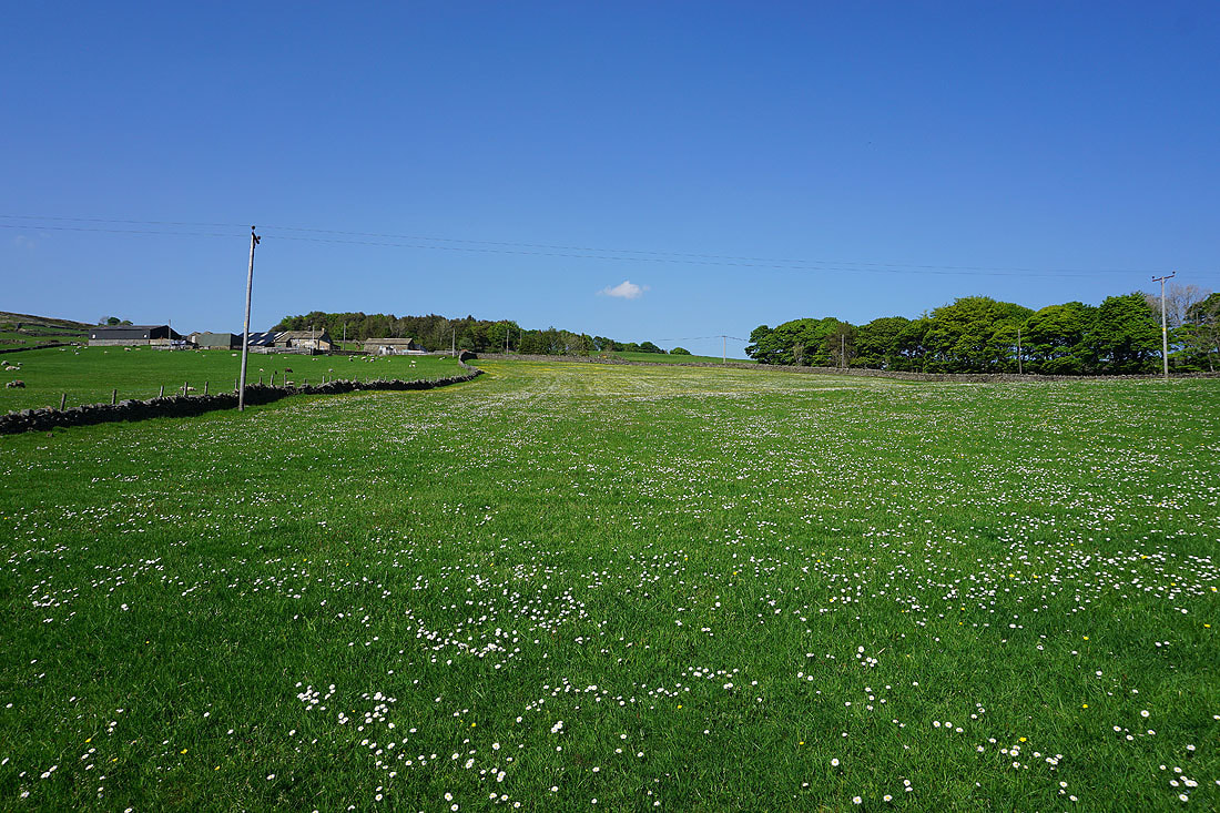
Buttercup filled field in Pecket Well
Looking across the moorland around Hebden Dale from Pecket Well

On the bridleway up to Delf End
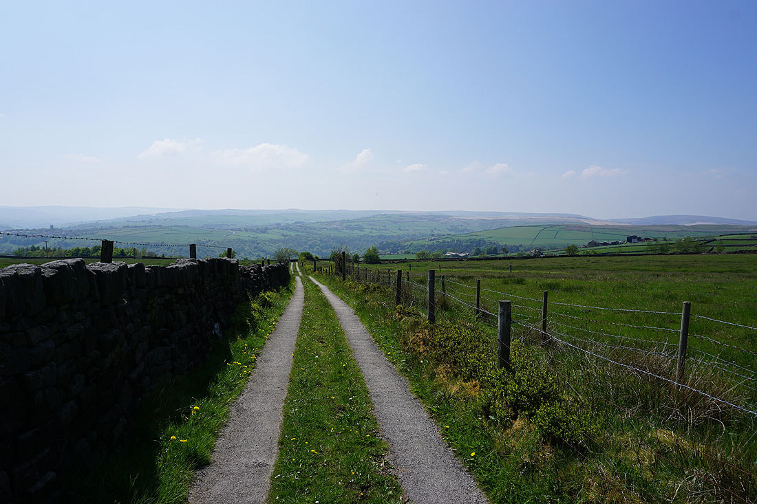
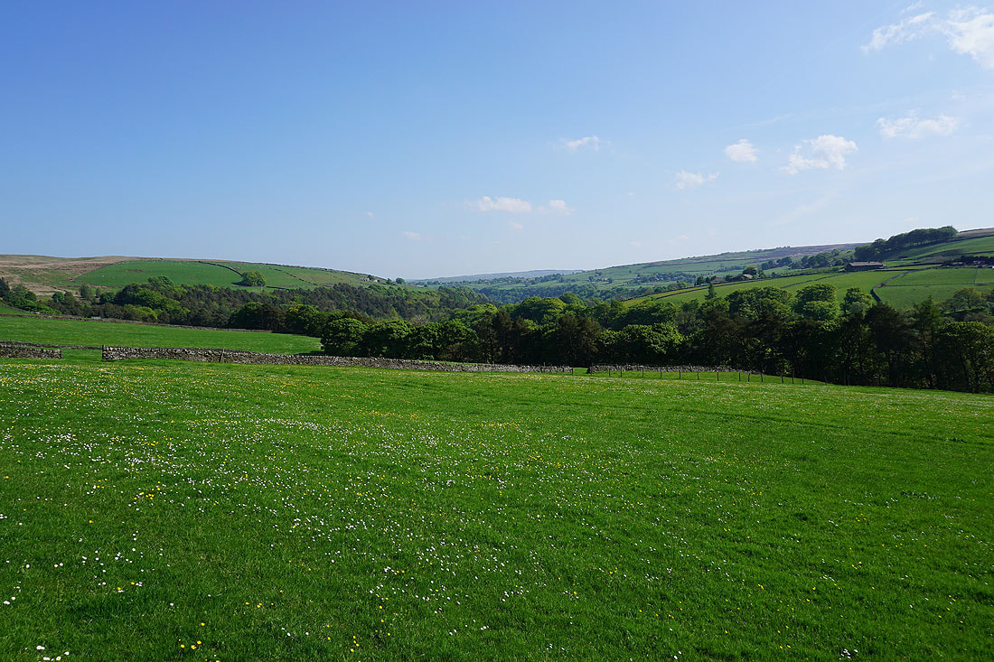
Looking back to the moorland around Hebden Dale and Colden Clough

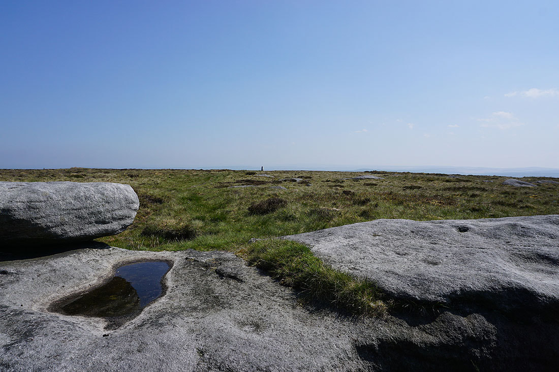
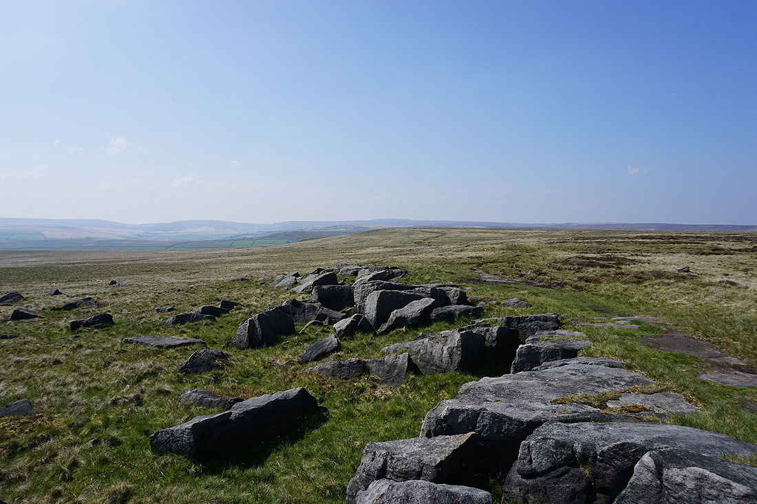
Onto access land on Deer Stones Edge. The view to the west and northwest to Black Hameldon, Wadsworth Moor and Boulsworth Hill.
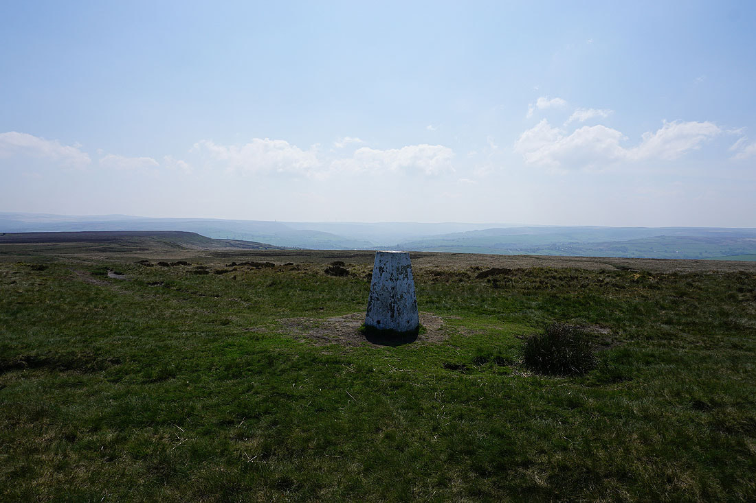
At the trig point on High Brown Knoll. Looking southwest across the moors of Calderdale.
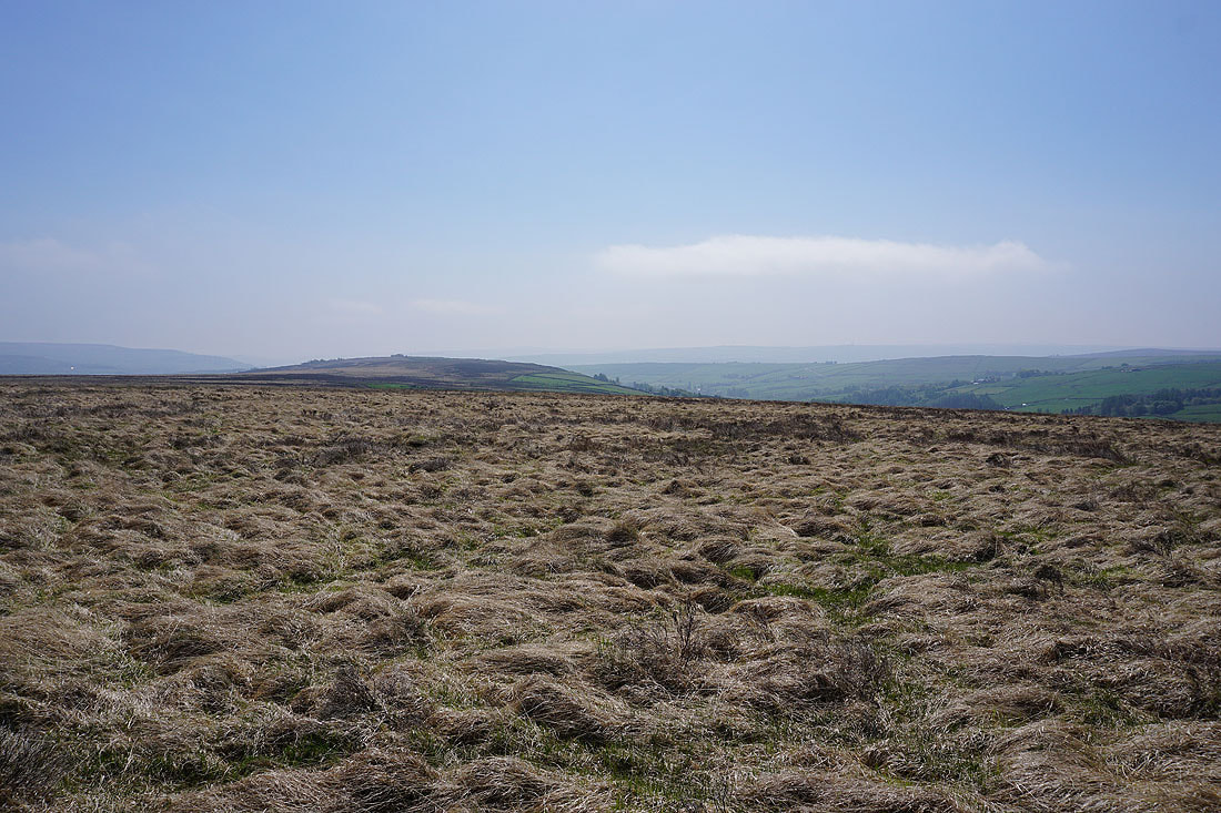
The broad expanse of Midgley Moor to the south
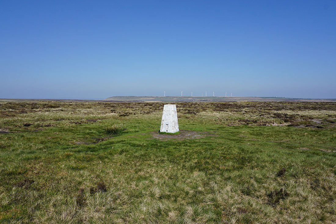
Ovenden Moor and its wind farm
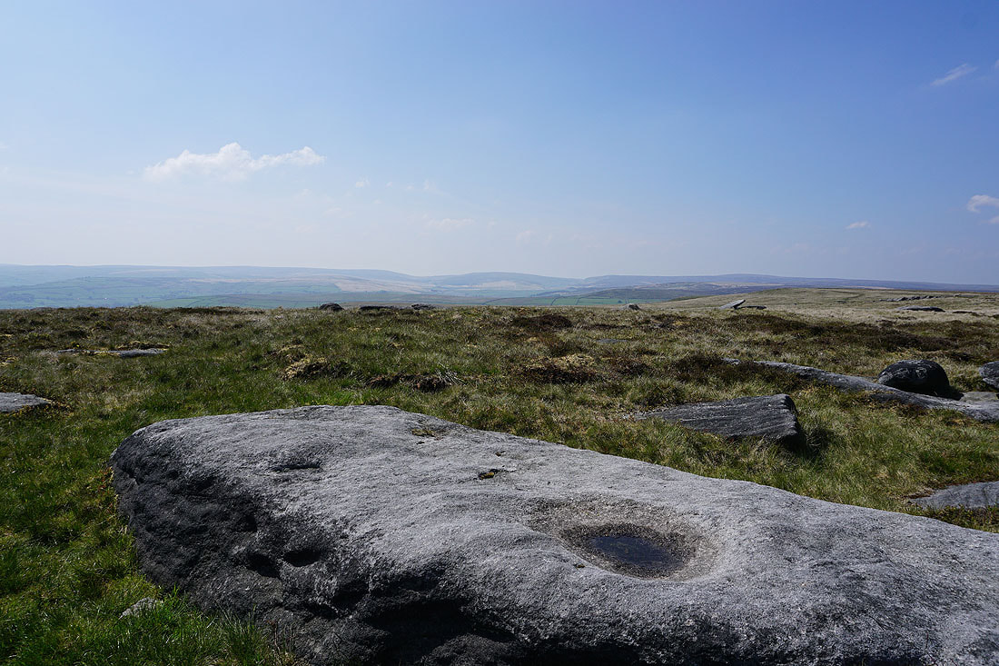
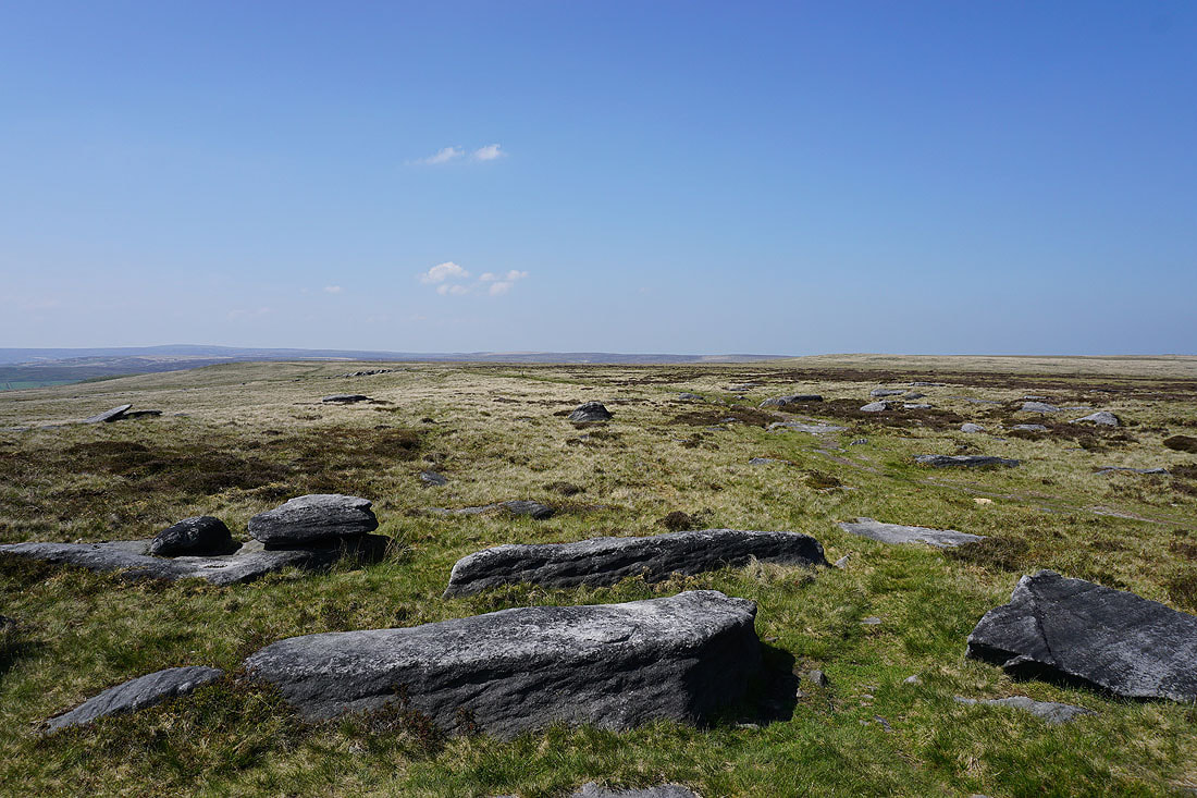
The gritstone boulders scattered across the moor make a good foreground for a few photos...
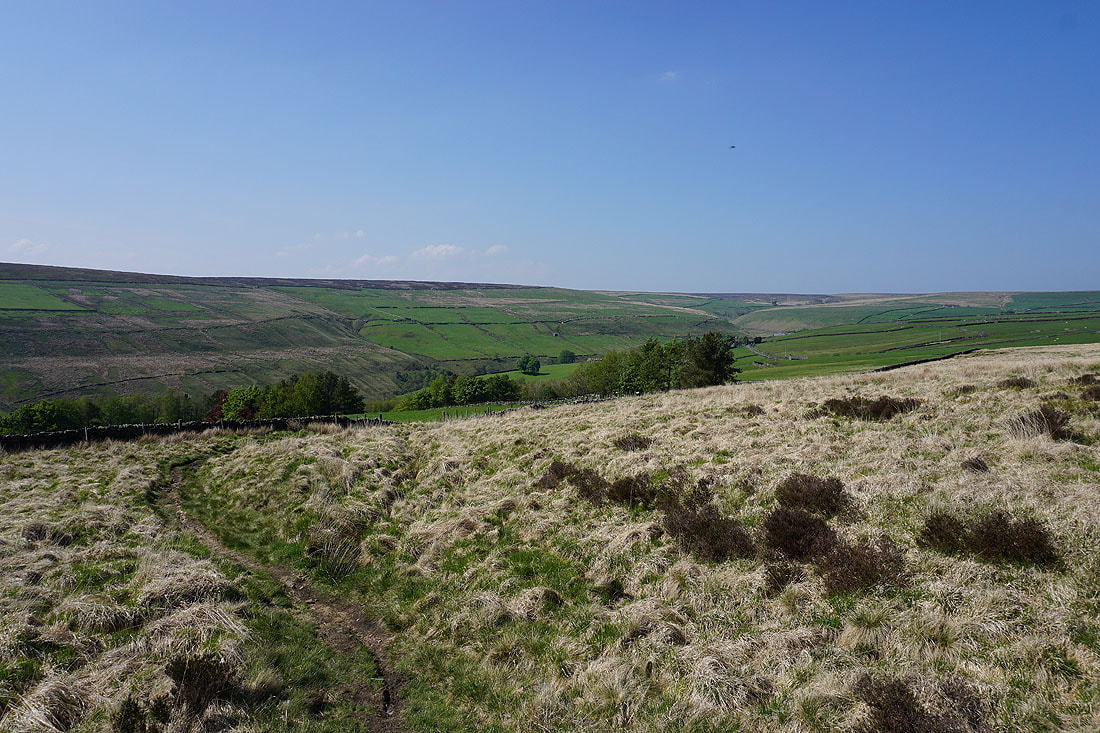
On the Limers Gate path to Naze End

The view southwest across Calderdale to the moorland around Stoodley Pike, and the moorland around Colden Clough and Hebden Dale
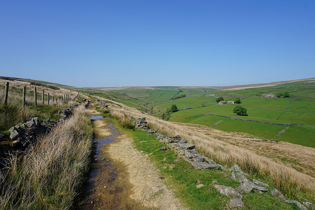
Having crossed the A6033, on the bridleway down to Old Road in Crimsworth Dean
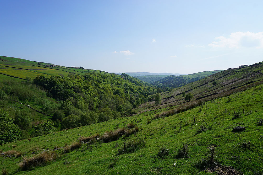
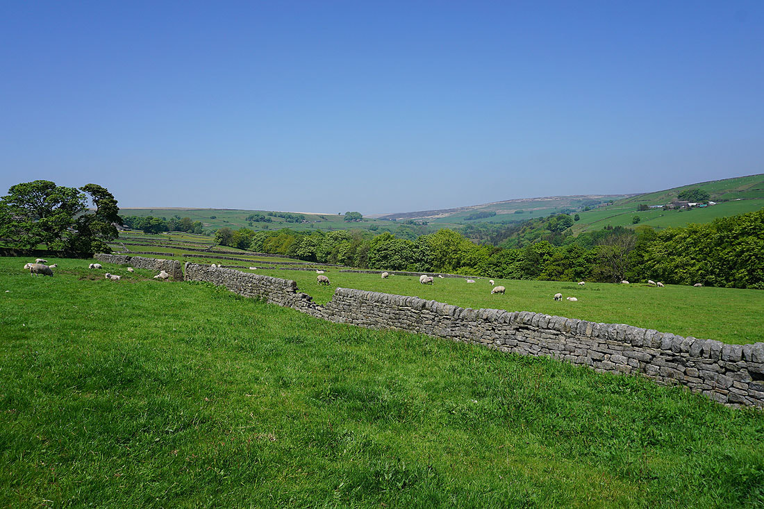
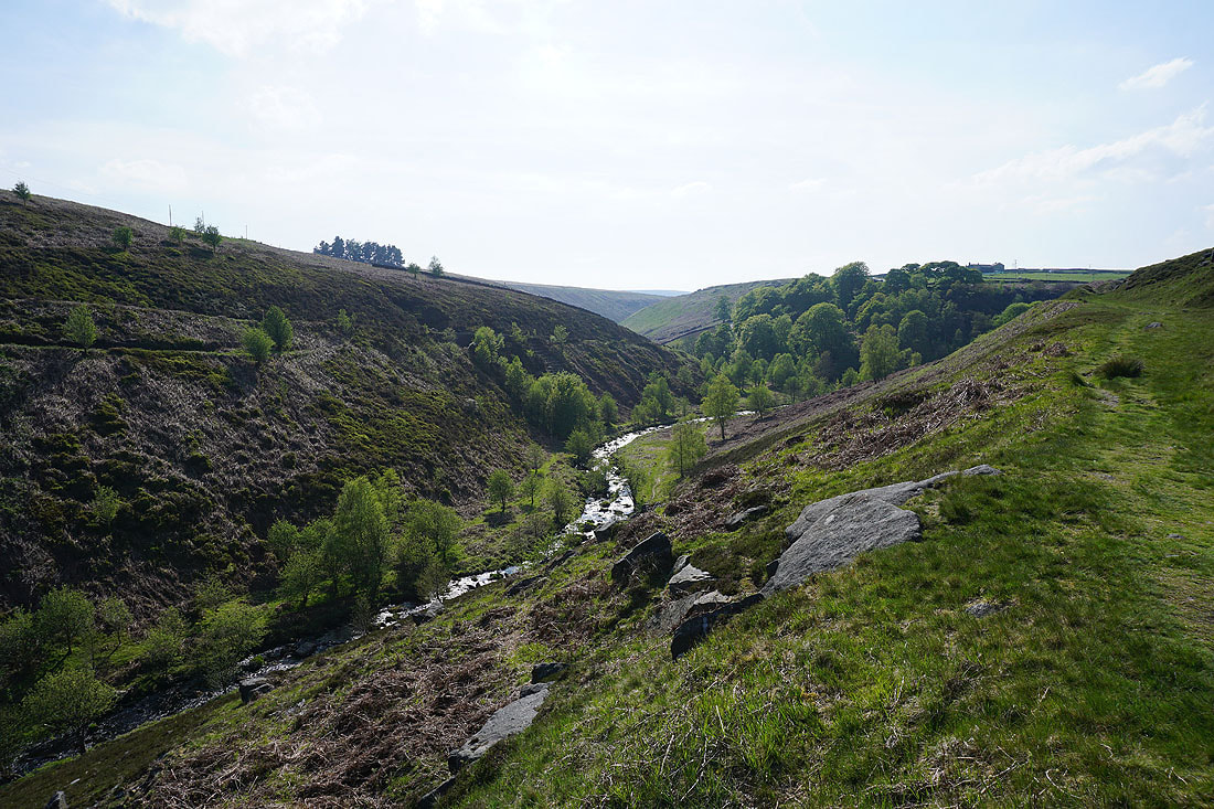
Looking down Crimsworth Dean from the bridleway up from Lumb Bridge to the one on the western side of the dale
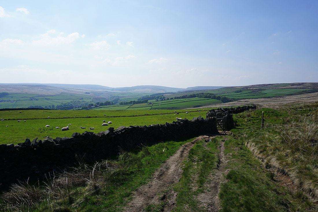
The head of Crimsworth Dean from the bridleway just north of the ruins of Nook Farm
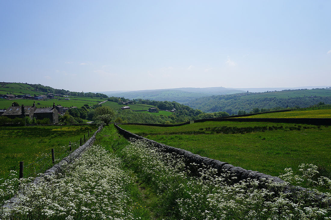
Looking back across Crimsworth Dean to High Brown Knoll from the bridleway across to Hebden Dale
Following the bridleway down to Walshaw in Hebden Dale..
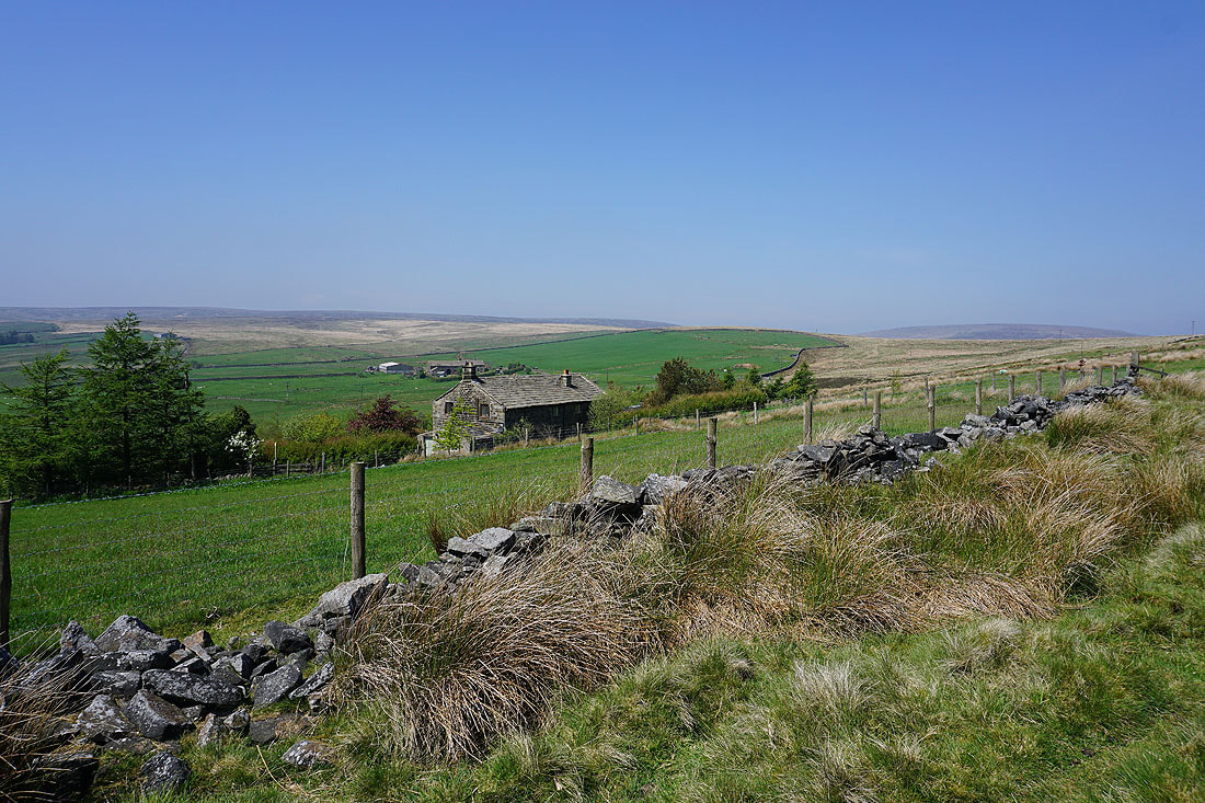
Looking up Hebden Dale from Walshaw
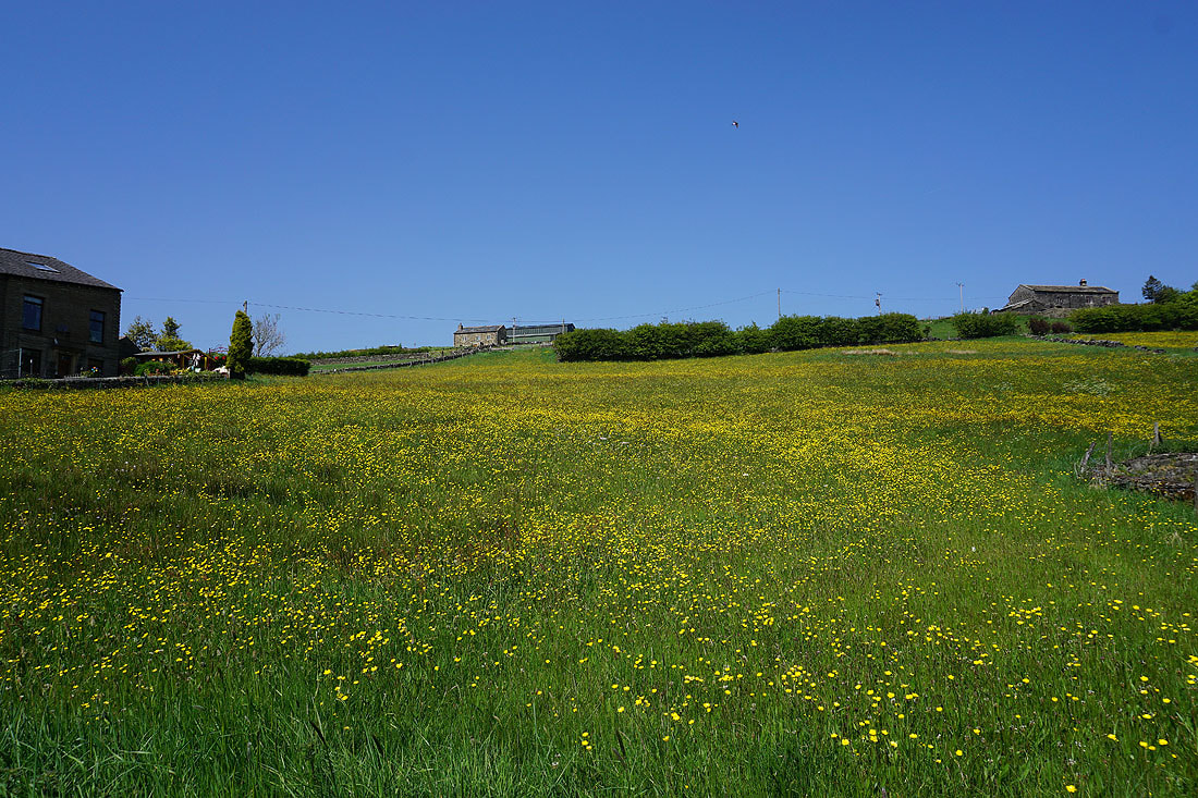
Daisy and buttercup filled field below New Cote Farm
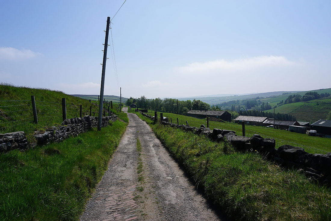
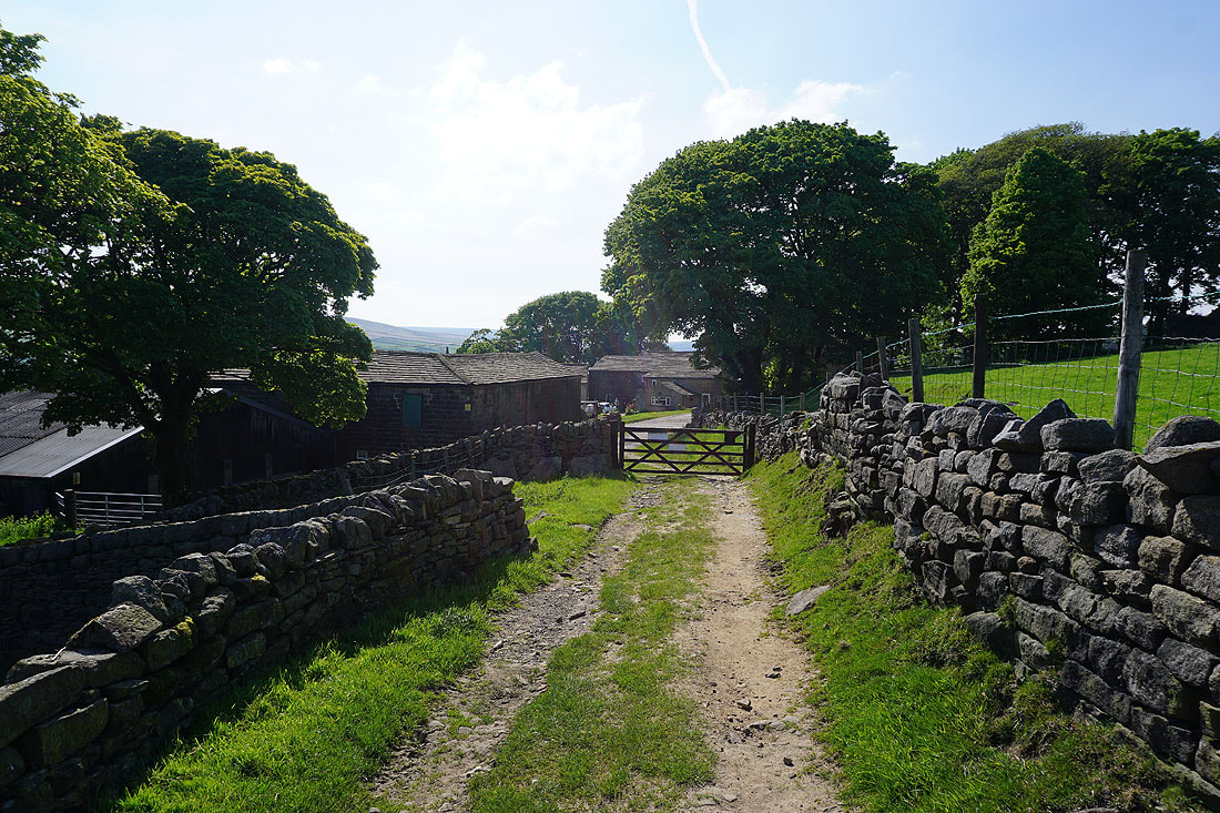
On the track to New Laithe Farm
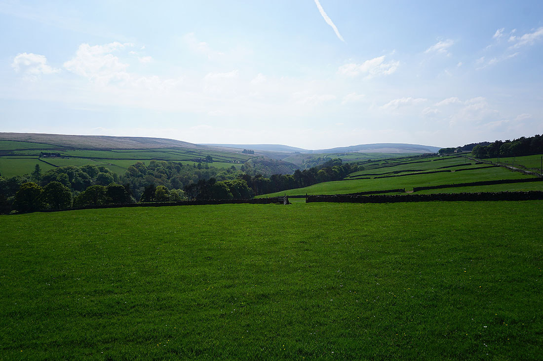
Looking back down Hebden Dale
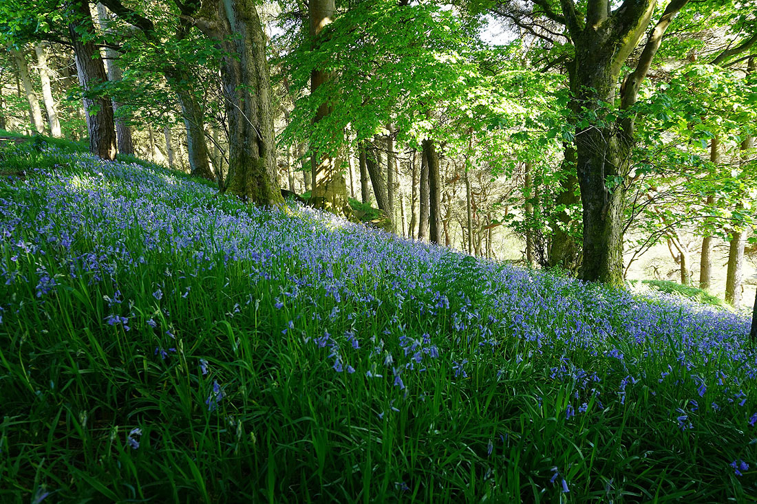
From New Laithe Farm I took a footpath down into the woodland at the top of Black Dean, where there are bluebells still in bloom..

Above Hebden Water in Black Dean..
On the track, then footpath above Alcomden Water to Holme Ends..
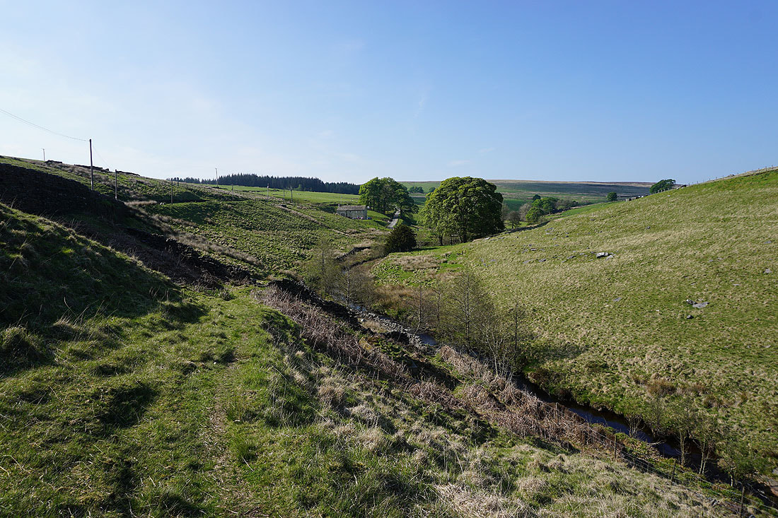
Looking back to Holme Ends..
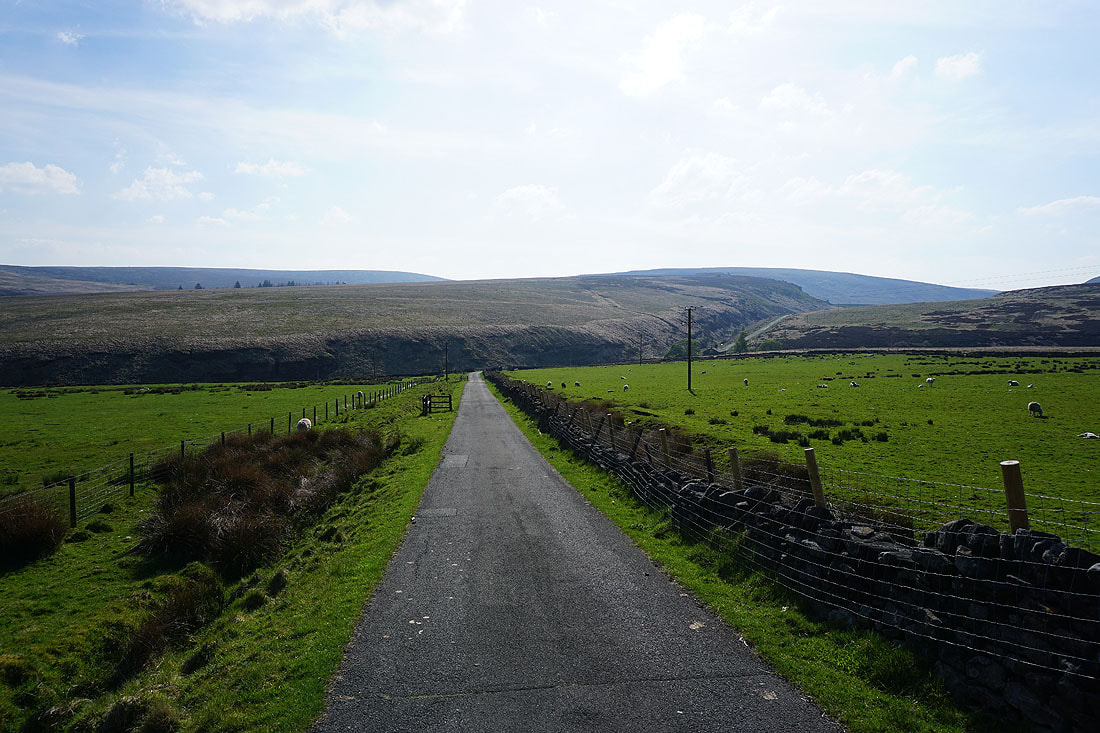
..as I follow the Pennine Bridleway back to where I'm parked at Clough Foot above Graining Water