31st October 2008 - Lingmoor Fell
Walk Details
Distance walked: 4.8 miles
Total ascent: 1557 ft
OS map used: OL6 - The English Lakes, South-western area
Time taken: 5 hrs
Route description: Stickle Barn car park, Great Langdale-path through NT camp site-Side Pike-Brown How-Blea Tarn-path through NT camp site-Stickle Barn car park, Great Langdale
An early taste of winter with a dusting of snow on the high fells and strong winds meant a low level walk was the choice for todays walk and the bagging of Lingmoor Fell.
From the NT car park at Stickle Barn I walked up the road towards the Old Dungeon Ghyll and then Wall End Farm. I left the road and took the footpath through the NT camp site. Once through the camp site the path continues uphill to the Blea Tarn road. My route then went onto Side Pike and along the ridge to the high point of Lingmoor Fell, Brown How. The route back was down to Blea Tarn and then a retracing of the route up.
Route map
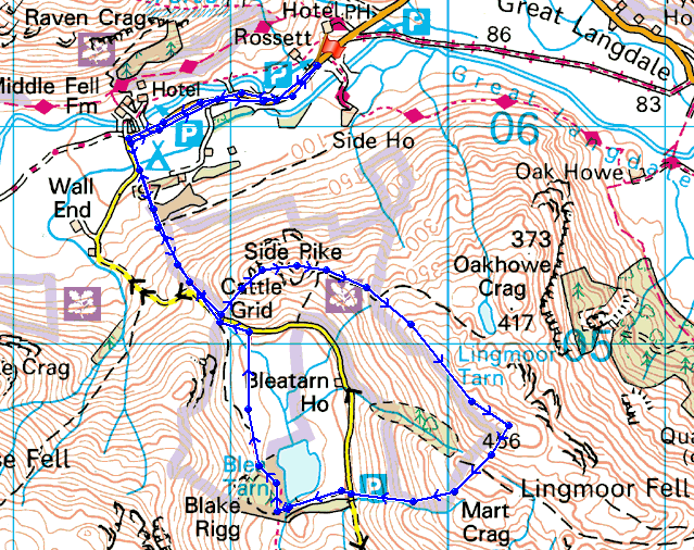
© Crown copyright. All rights reserved. License number PU 100034184.
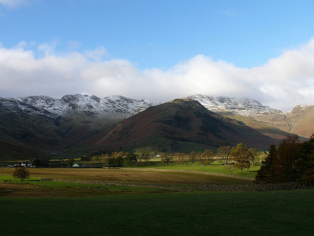
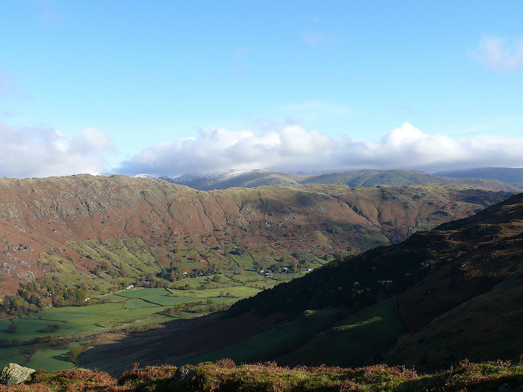
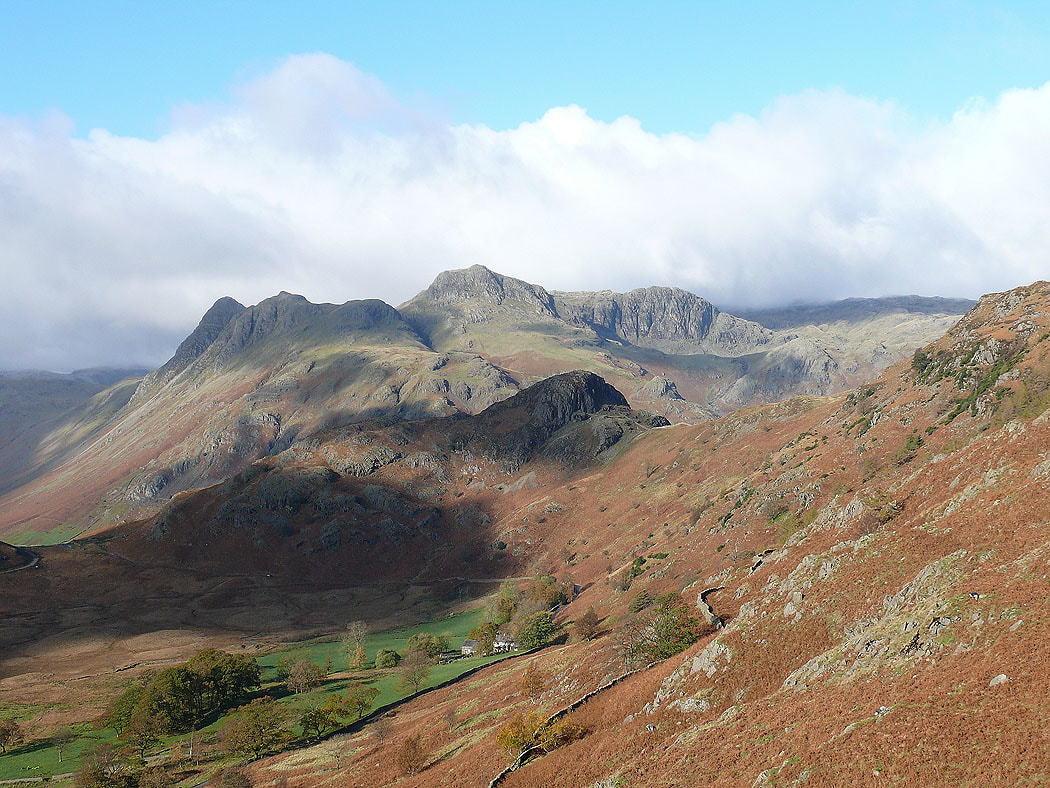
Crinkle Crags, Bowfell and The Band from the path up to the Blea Tarn road
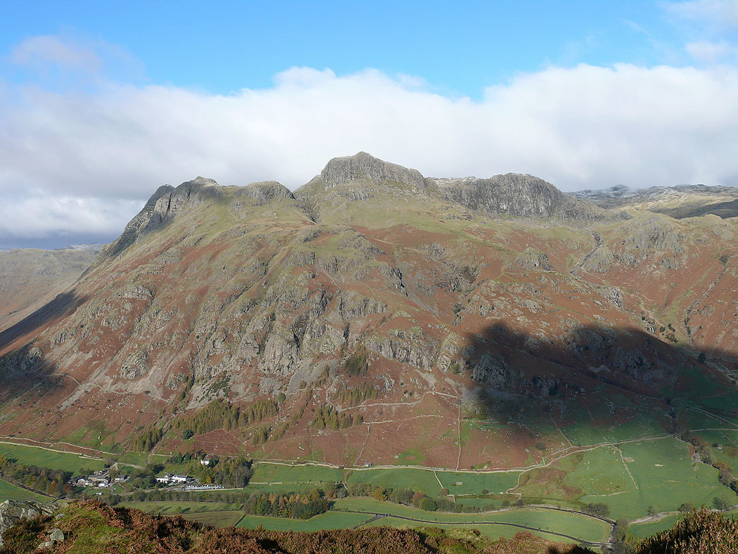
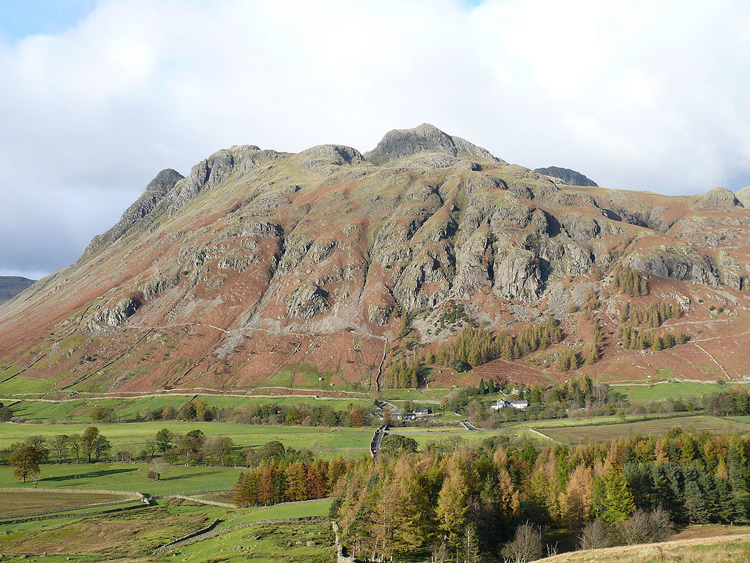
The Langdale Pikes from the top of Side Pike
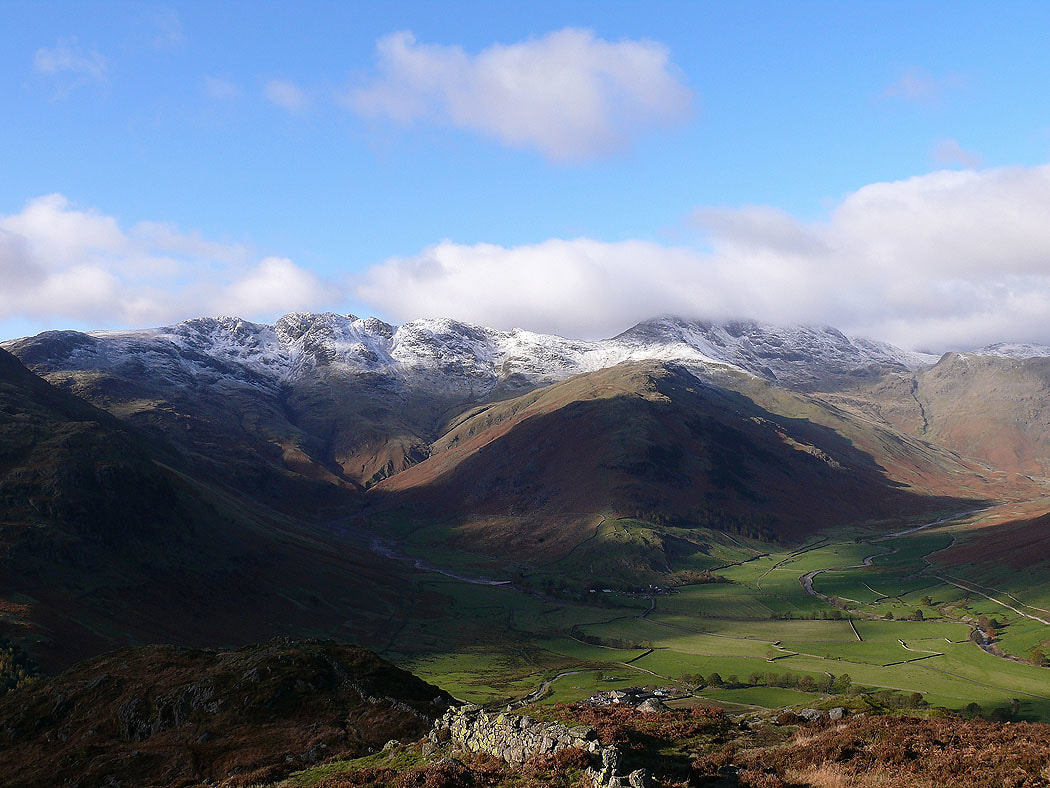
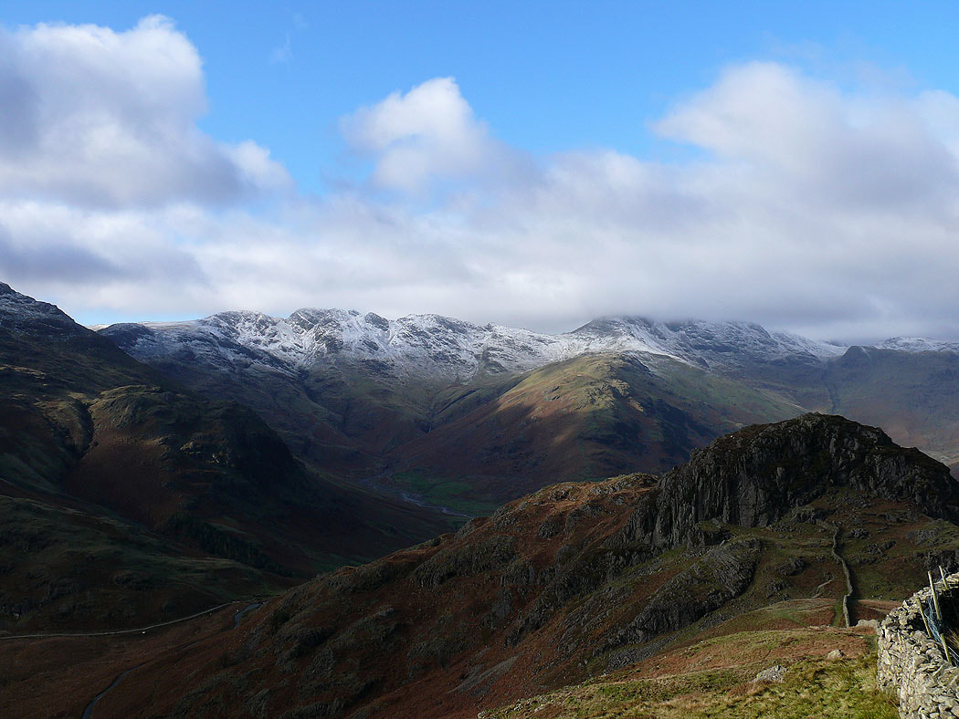
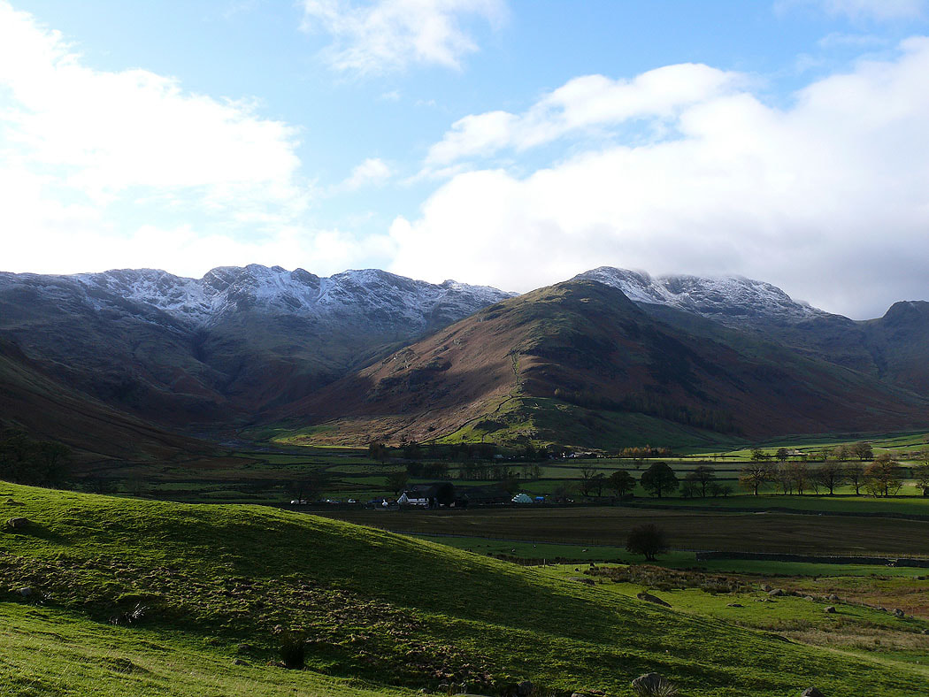
The Crinkle Crags and Bowfell. The ridge of The Band separates Oxendale on the left and Mickleden on the right.
The view down Langdale
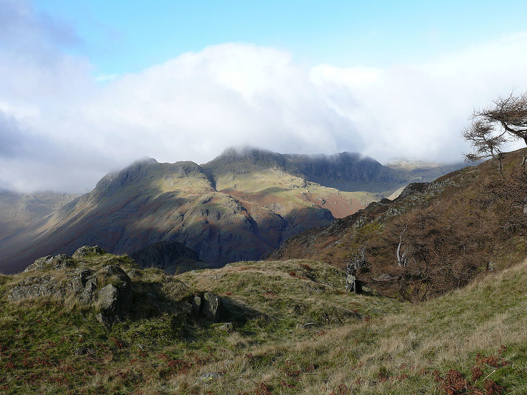
I've left Side Pike to make my way to the summit of Lingmoor Fell. A look back at the view including Side Pike on the right. This was the last picture I took for a while until I was making my way down to Blea Tarn. The weather on the top of Lingmoor Fell wasn't the best.
A view of the Langdale Pikes on the way down to Blea Tarn
and again behind Side Pike
It soon brightened up
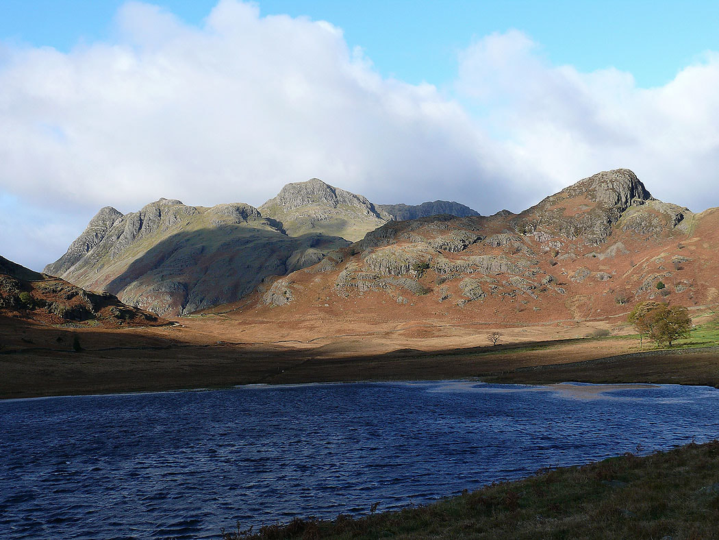
The Langdale Pikes and Side Pike from the side of a choppy Blea Tarn
The Langdale Pikes as I head back down to the NT camp site
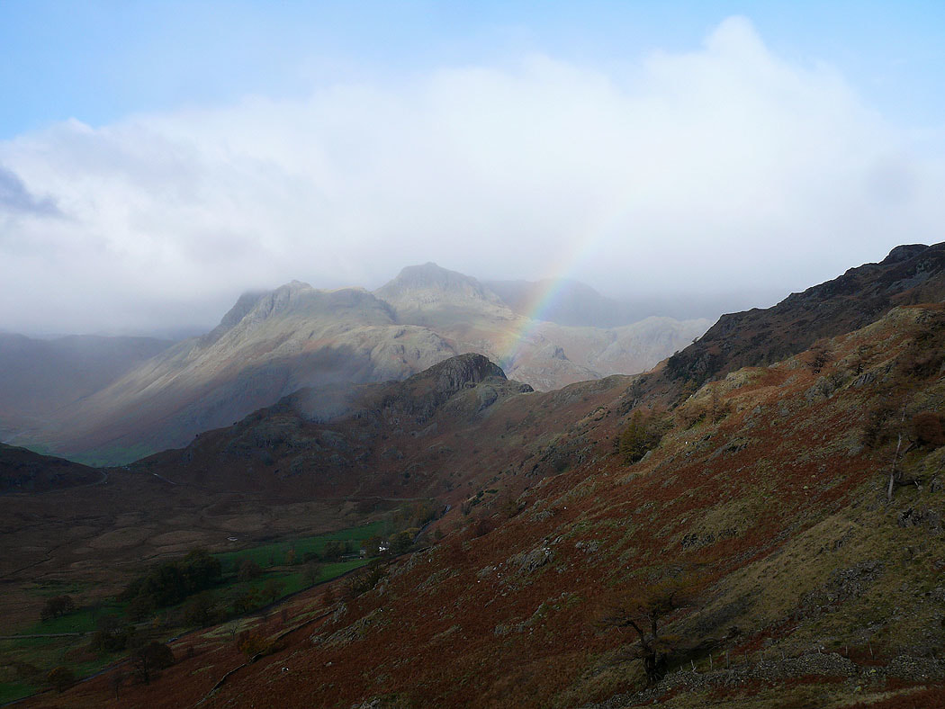
A final shot of the Crinkle Crags and Bowfell