31st October 2010 - Loughrigg, Black and Holme Fells
Walk Details
Distance walked: 10.3 miles
Total ascent: 3025 ft
OS map used: OL7 - The English Lakes, South-eastern area
Time taken: 6.5 hrs
Route description: Elterwater-Cumbria Way-Oaks-Intake Wood-Loughrigg Fell-Ivy Crag-Tarn Foot-Skelwith Bridge-Brow Coppice-Black Fell-Iron Keld-High Arnside-A593-Holme Fell-Hodge Close-Stang End-Wilson Place-Elterwater
Starting in Elterwater this walk bagged the 3 Wainwrights of Loughrigg Fell, Black Fell & Holme Fell.
Route map
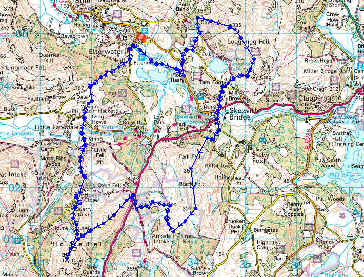
© Crown copyright. All rights reserved. License number PU 100034184.
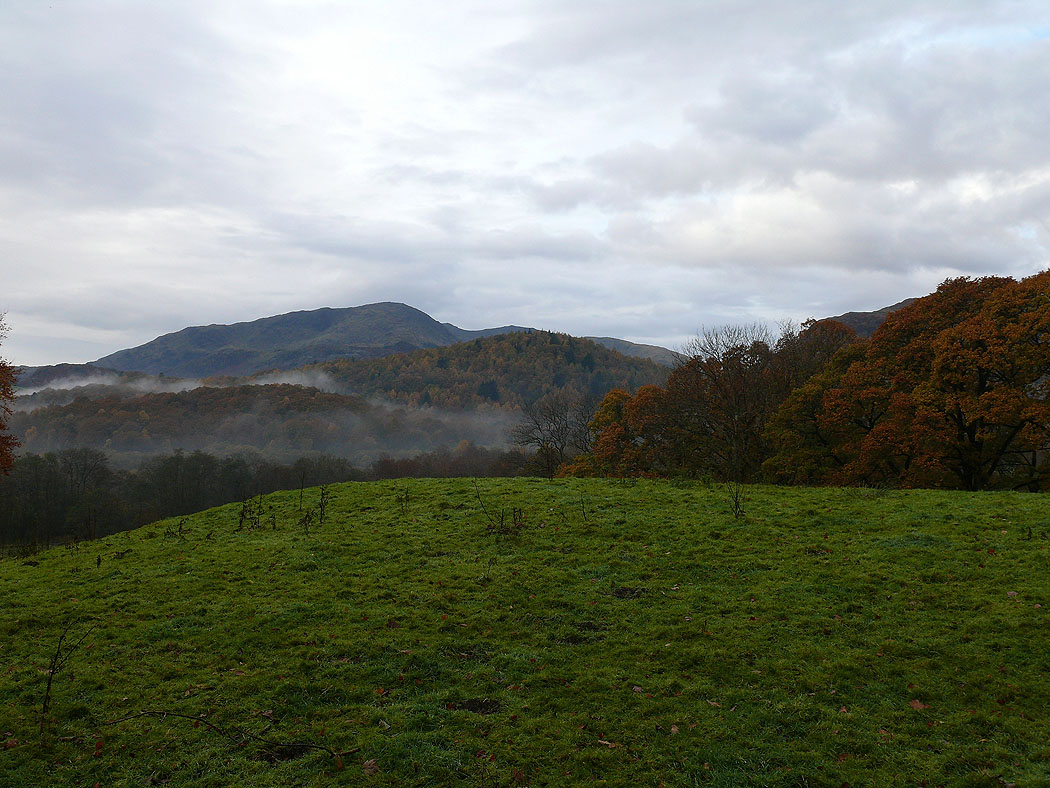
A view of Wetherlam on the way to Loughrigg Fell
Wetherlam, Swirl How and Great Carrs from near Oaks
and a closer view
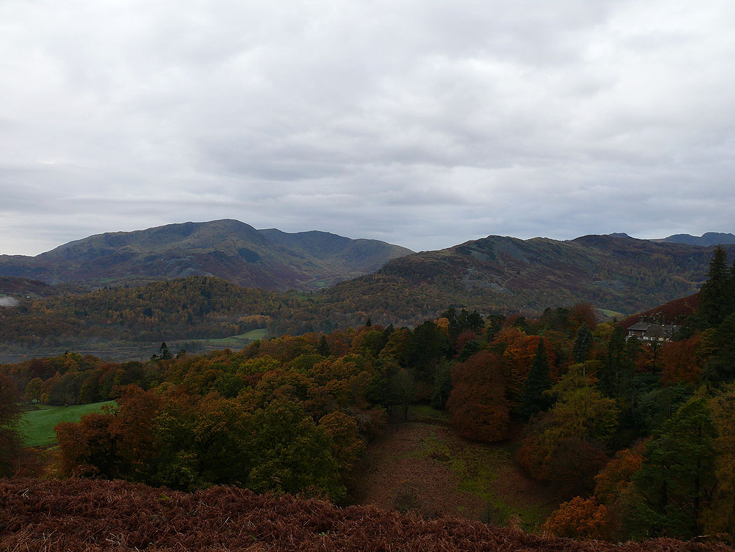
Wetherlam, Swirl How and Great Carrs on the left and Lingmoor Fell on the right from the ascent of Loughrigg Fell
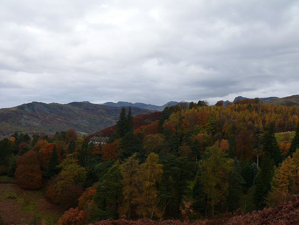
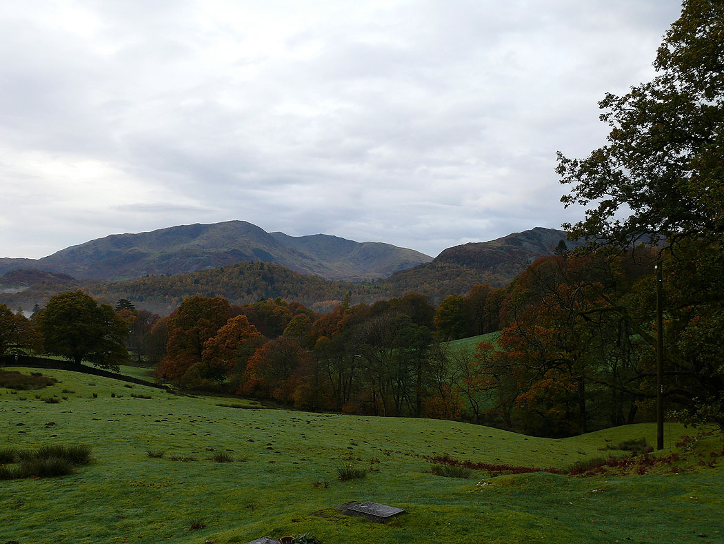
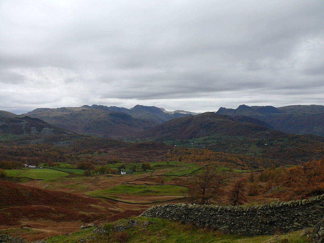
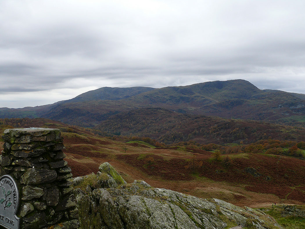
Crinkle Crags and Bowfell put in an appearance above the trees
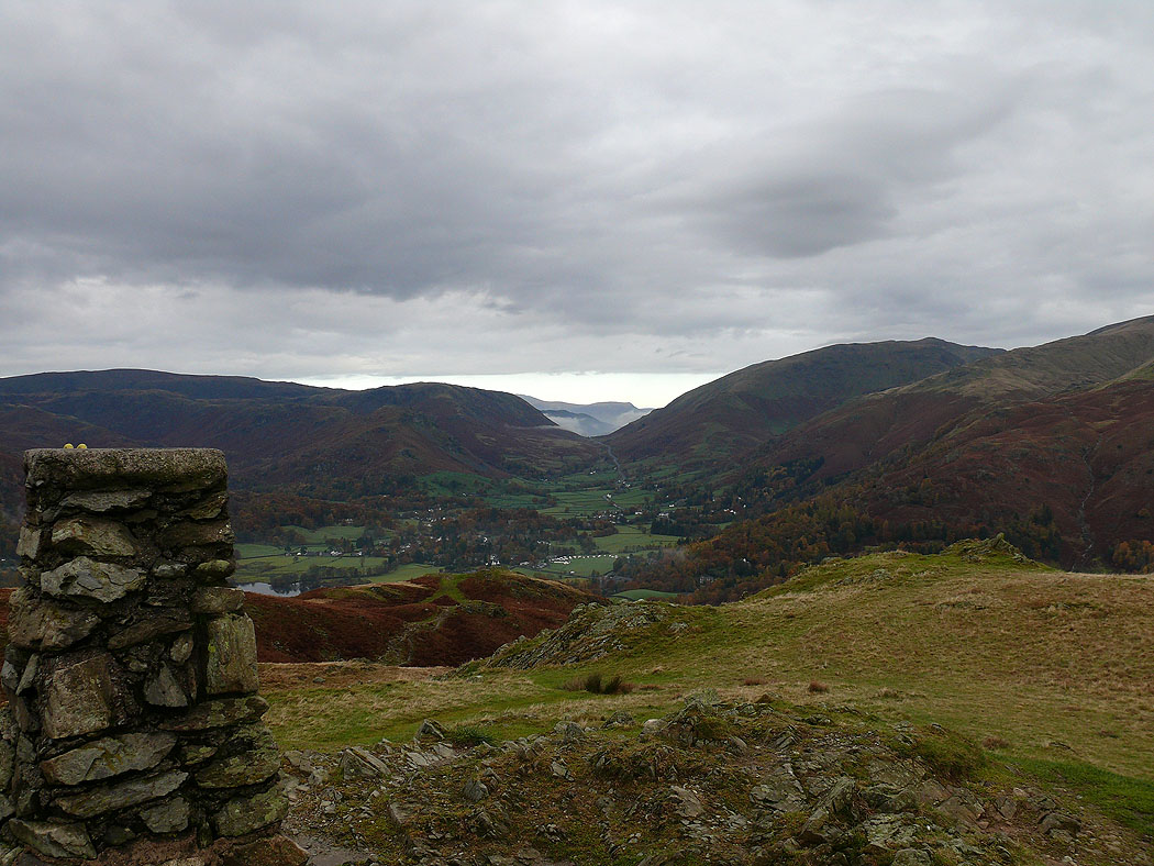
On the summit of Loughrigg Fell looking to Dunmail Raise. I can see clear skies to the north but they're not coming this way.
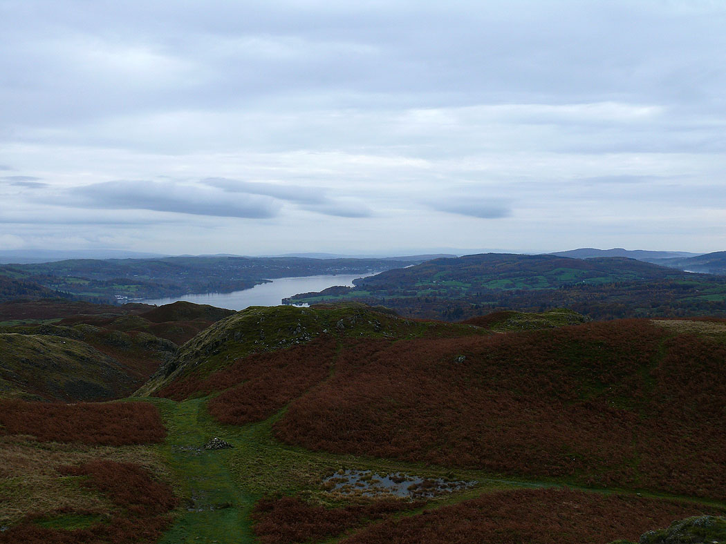
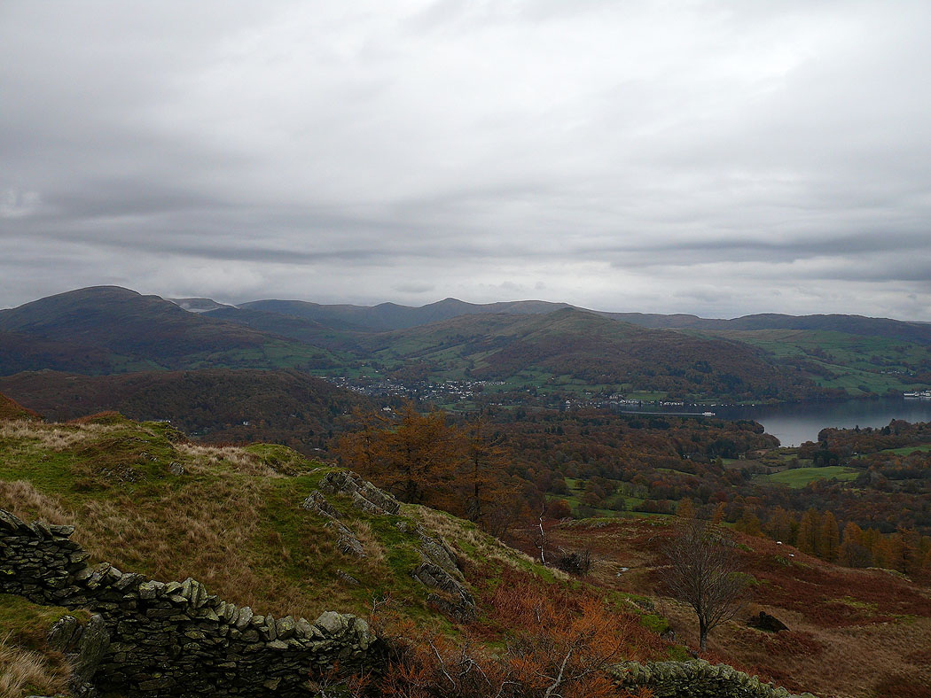
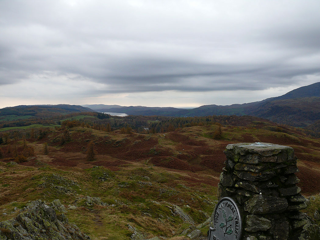
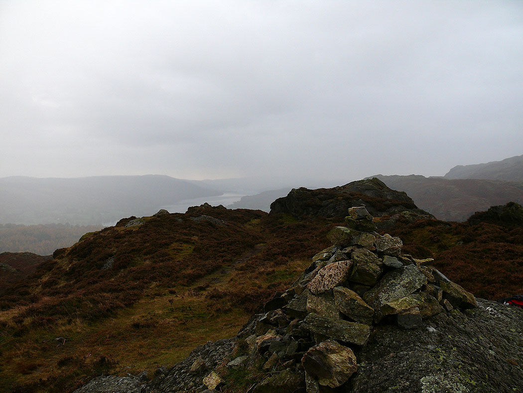
Windermere
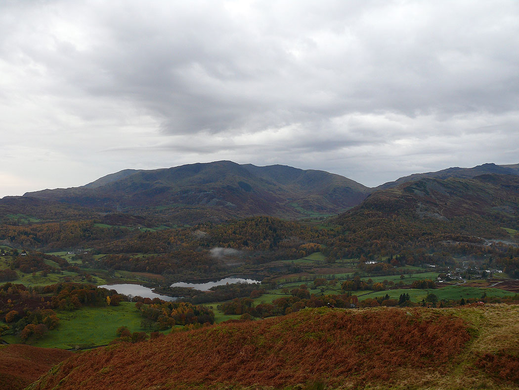
The Coniston fells with Elter Water below
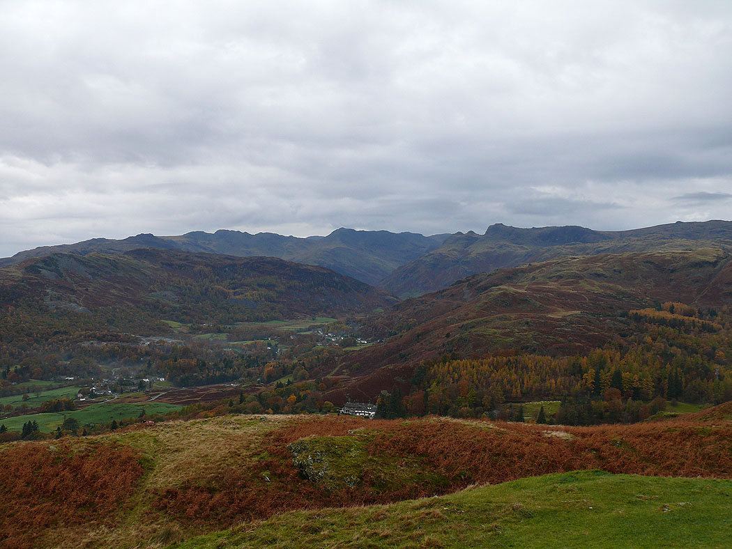
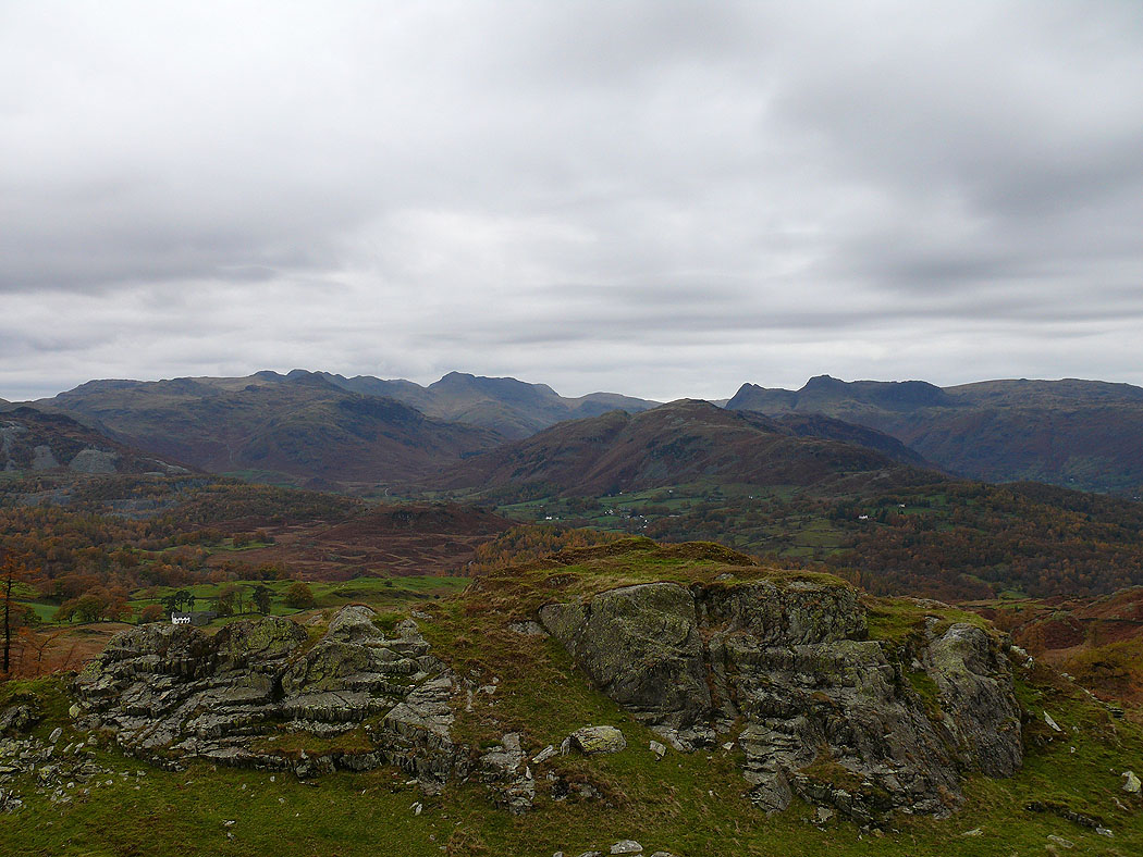
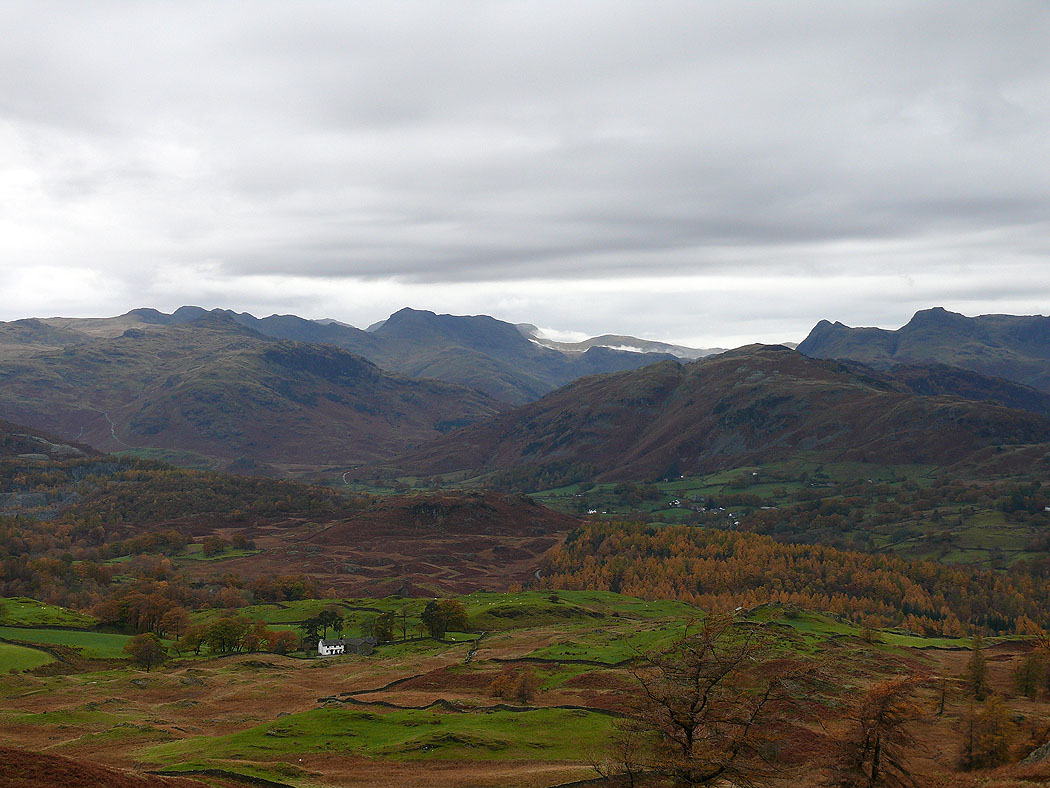
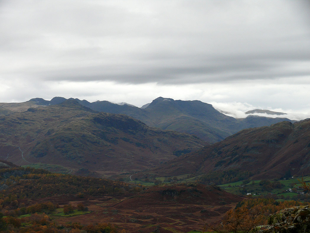
The view up Great Langdale to Crinkle Crags, Bowfell and the Langdale Pikes
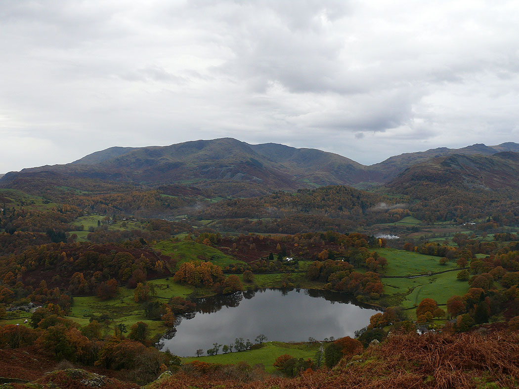
Loughrigg Tarn
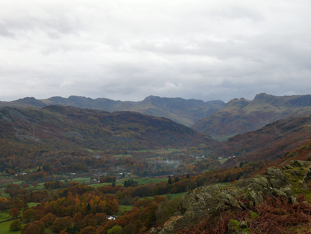
A closer view of the head of Langdale
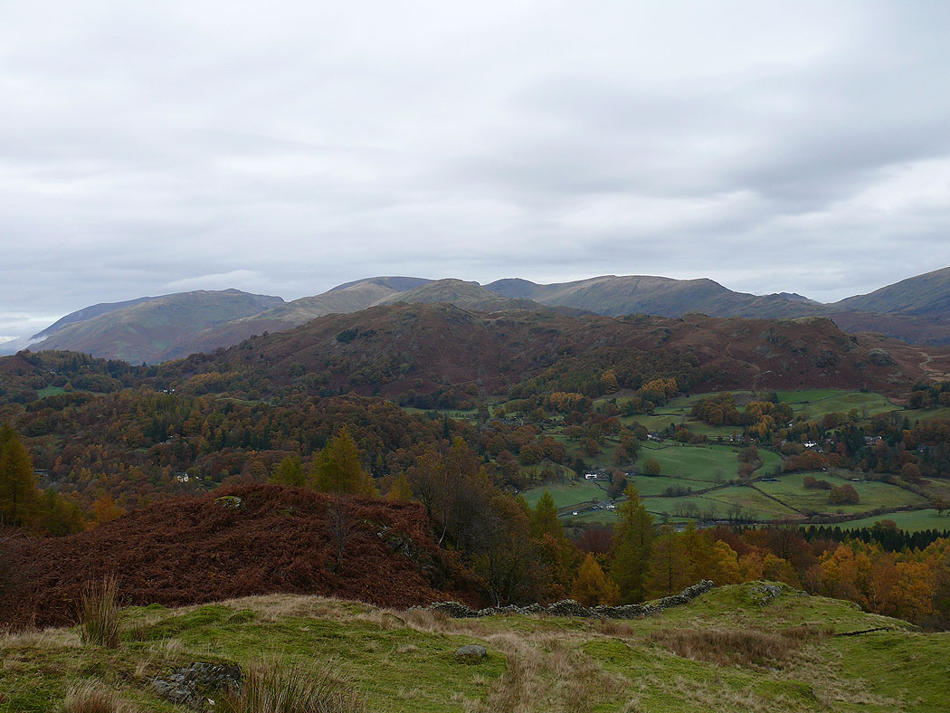
Just out of the woods of Brow Coppice and starting my ascent of Black Fell. Loughrigg Fell with the Fairfield Horseshoe behind on the other side of the valley.
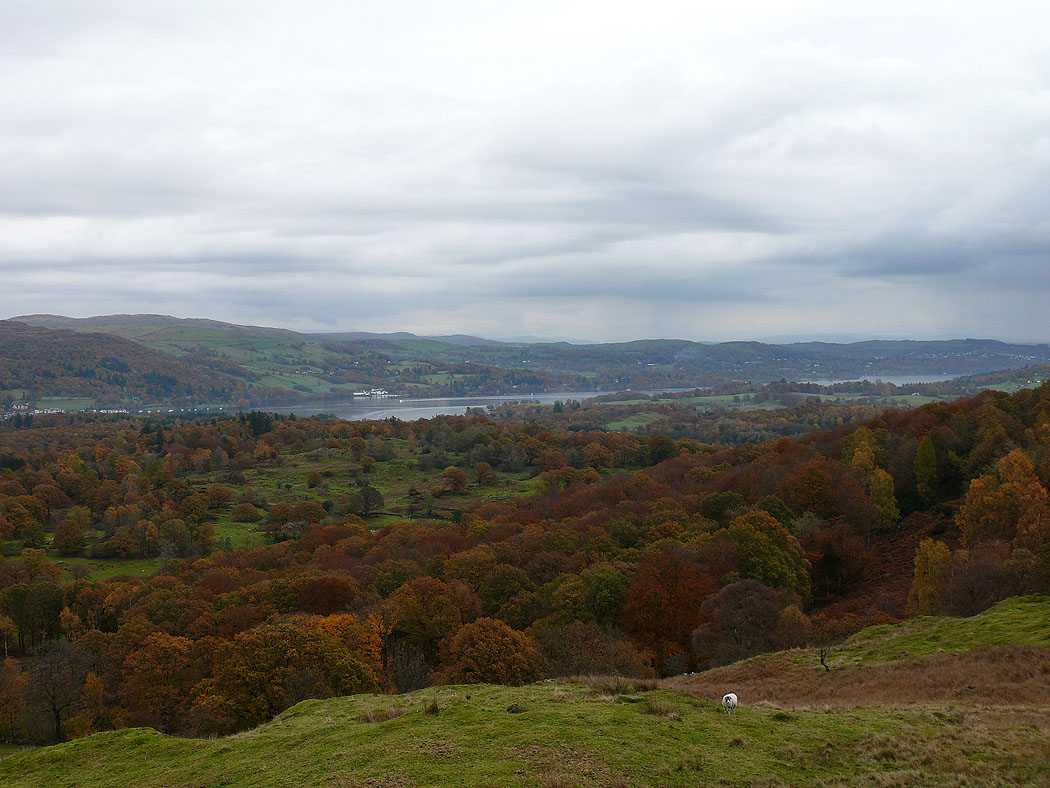
Windermere
Red Screes and the fells around Troutbeck to Wansfell Pike
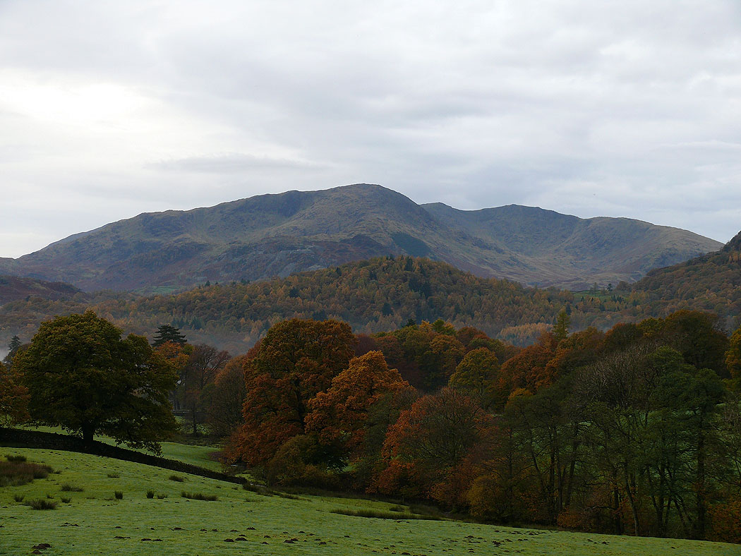
Coniston Old Man, Brim Fell and Wetherlam
Crinkle Crags, Bowfell, Lingmoor Fell and the Langdale Pikes
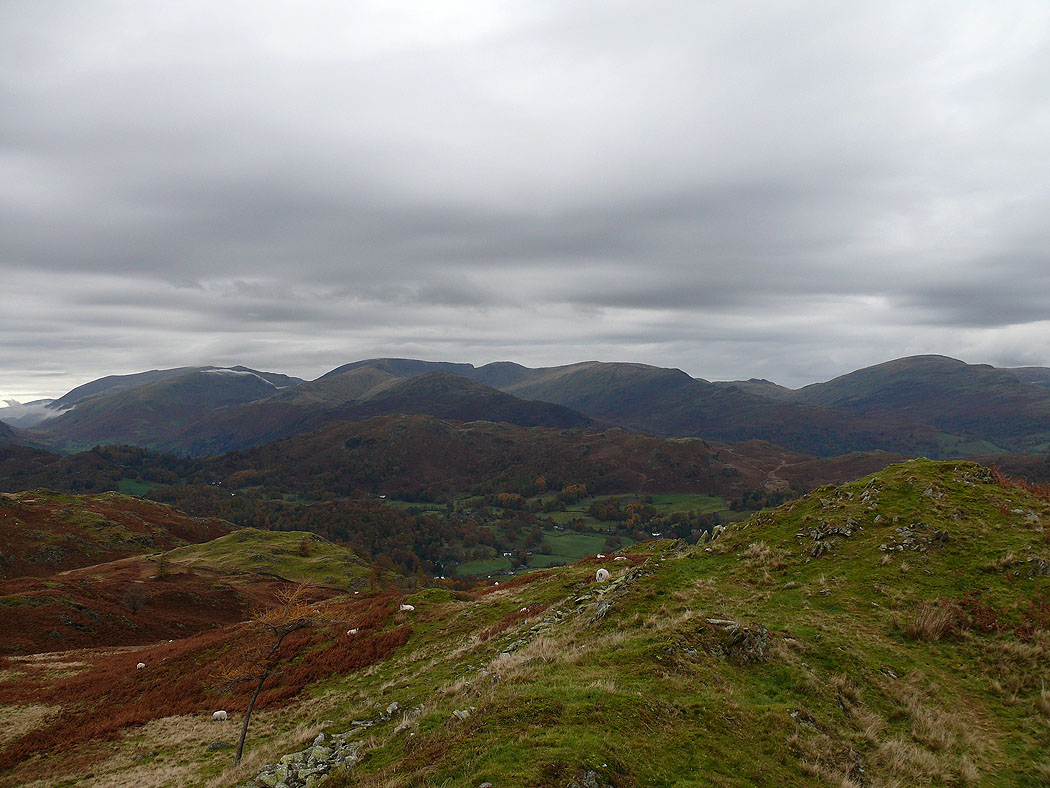
Helvellyn, the Fairfield Horseshoe and Red Screes
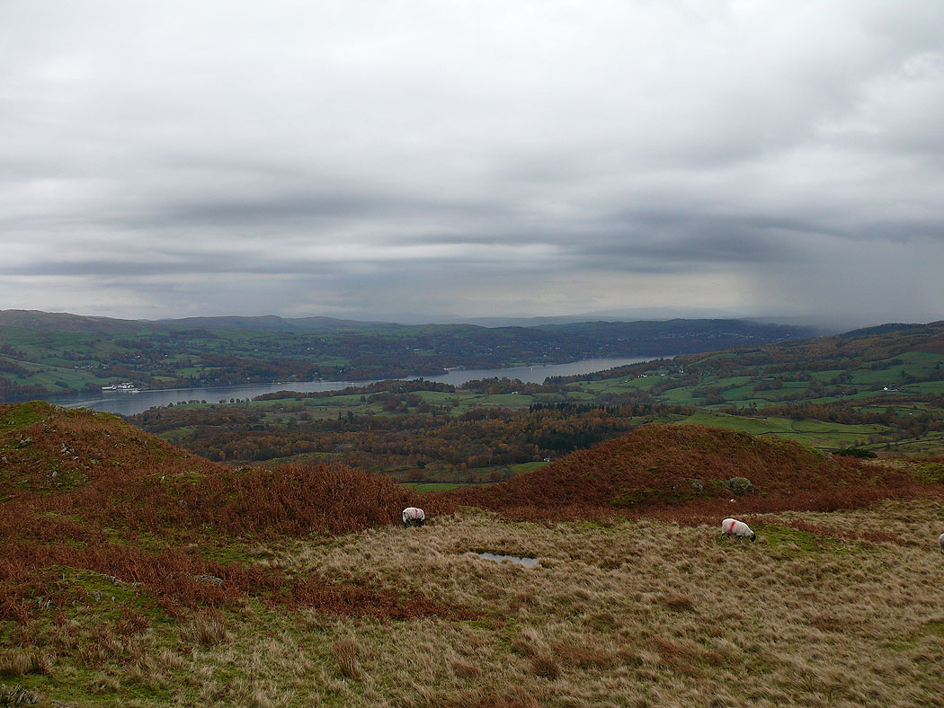
Windermere
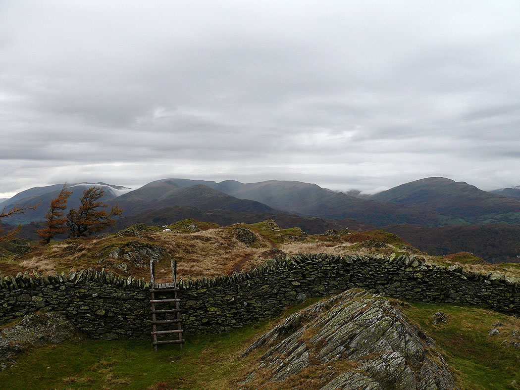
On the summit of Black Fell. Crinkle Crags, Bowfell and the Langdale Pikes in the distance.
Coniston Old Man, Brim Fell and Wetherlam
A closer view of the head of Great Langdale
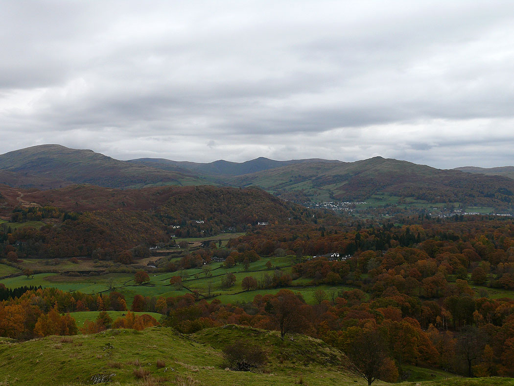
The view across to Ambleside and Wansfell Pike
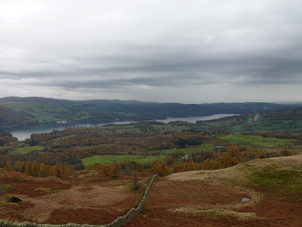
Windermere
A close up of Crinkle Crags and Bowfell
A glimpse of Coniston Water
Helvellyn, the Fairfield Horseshoe and Red Screes
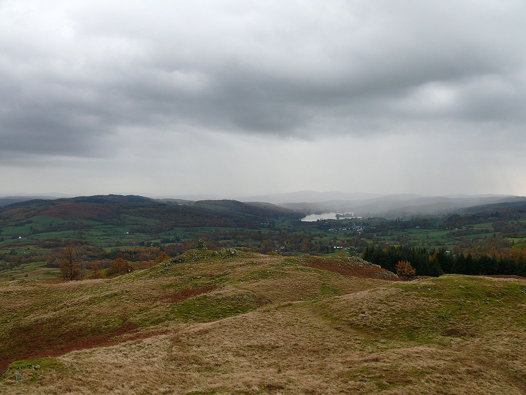
Approaching rain over Esthwaite Water
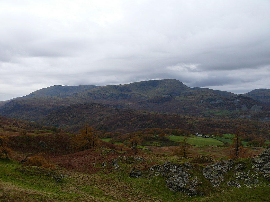
A wet Holme Fell looking towards Coniston Water
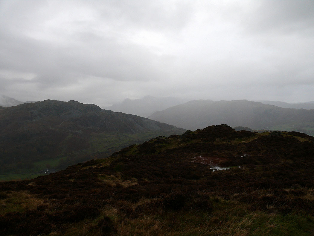
A last shot of the Langdale Pikes in the distance through the murk. It rained all the way back to Elterwater.