31st October 2015 - Ramshaw Rocks & The Roaches
Walk Details
Distance walked: 9.9 miles
Total ascent: 1876 ft
OS map used: OL24 - The Peak District, White Peak area
Time taken: 6.5 hrs
Route description: Gradbach-Gradbach Hill-Gib Torr Rocks-Corner House-Ramshaw Rocks-A53-Naychurch-Ferny Knoll-Well Farm-The Roaches-Bearstone Rock-Back Forest-Forest Wood-Gradbach
After having a thoroughly enjoyable walk in this part of the Peak District last weekend I decided to head back and do another one. Like last time I wanted to walk some new territory and after seeing numerous photos taken from them, Ramshaw Rocks had to be included in my route today. The Roaches was more familiar to me with a walk along them done a couple of years ago. It looked like I got quite lucky with the weather today as hill fog seemed to have been stopped from making its way into the area by the moorland to the east and that over the low ground to the south more or less stayed there. For much of the day it meant that I was accompanied by some nice sunny spells and in temperatures that were well above those that should be expected for the last day of October.
From the car park by the River Dane in Gradbach I walked west up the road past the scout camp and to its top where it becomes a bridleway. Here I turned left onto the footpath below Gradbach Hill and when I reached the concessionary path that allows access to Gradbach Hill I made my way up to its top. After walking south along the top of Gradbach Hill I picked up the footpath again that heads out to the road to the east. I then had a walk along the road uphill past Moss Top Farm to reach Gib Torr Rocks. A squeeze stile next to a gate let me gain access to them. Once back on the road I continued east and then south to get to the footpath across the Goldsitch Moss and Blackbank Valley Nature Reserve. It was pretty boggy in places until I was on the moorland crest down to the road at Corner House cottage. Over the road and I took the footpath across the moors to Ramshaw Rocks. After having lunch here I had a great time walking down the rocky crest to the road below and then the A53. The next part of the route was a little complicated but basically involved walking down the driveway to Naychurch Farm, crossing the brook below and then following a track to Well Farm, where I made my way up onto a footpath across the northern slopes of Hen Cloud. Once at the col between Hen Cloud and The Roaches I turned right and made my way up and along the gritstone escarpment of The Roaches to the trig point on its top. I then kept on the ridgeline to the northwest after crossing the road to reach the top of Back Forest. A signposted path here let me descend into Forest Wood and onto the public footpaths signed for Gradbach. After a tricky crossing of the stepping stones in Black Brook (I was grateful I had my trekking poles) I reached the bridleway that joined up with my outbound route to get back to where I was parked.
Route map
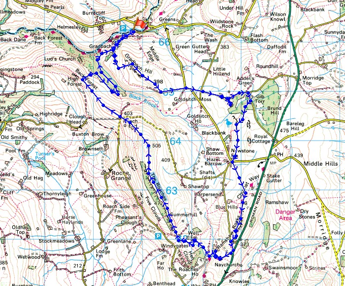
© Crown copyright. All rights reserved. License number PU 100034184.
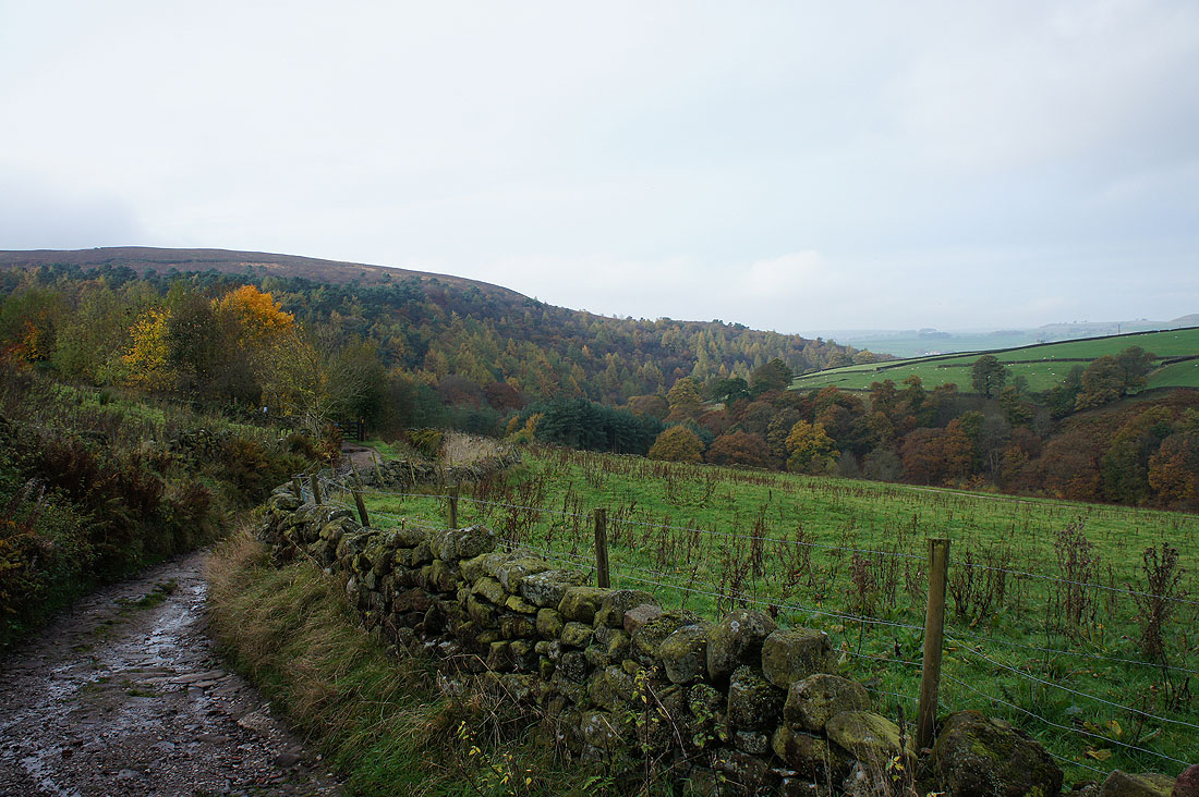
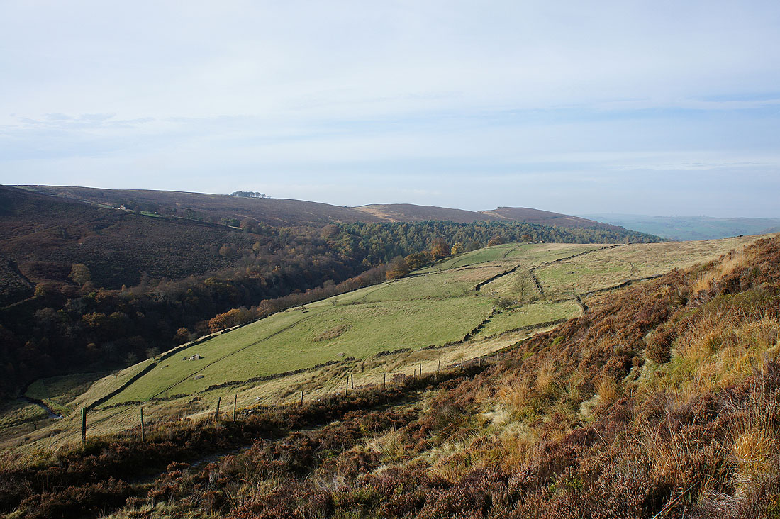
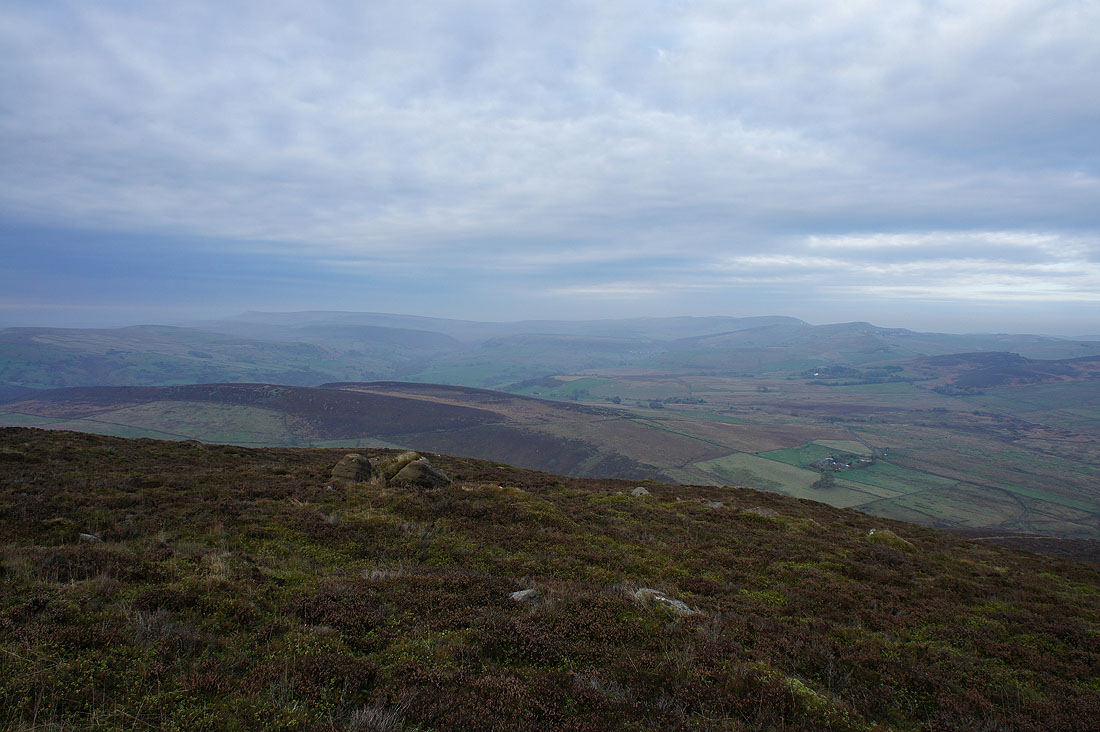
Forest Wood and the Dane Valley, taken from the top of the bridleway below Gradbach Hill
and again, from Gradbach Hill
Looking towards Three Shire Heads and Turn Edge

A tower of gritstone on Gradbach Hill
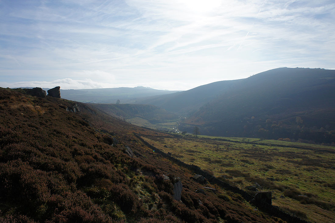
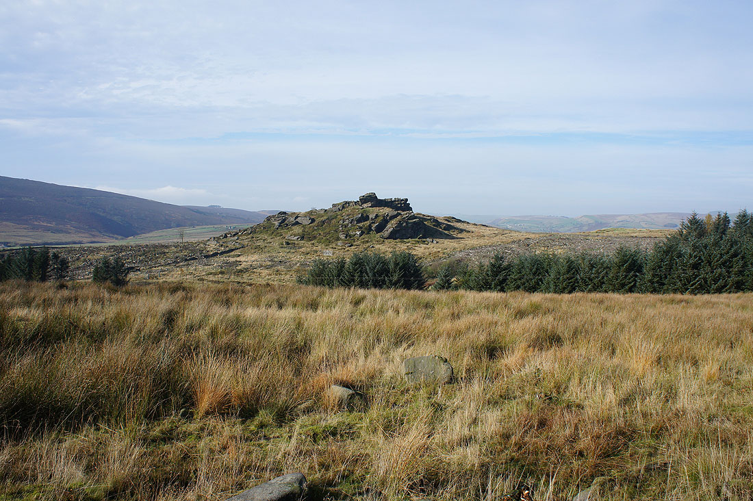
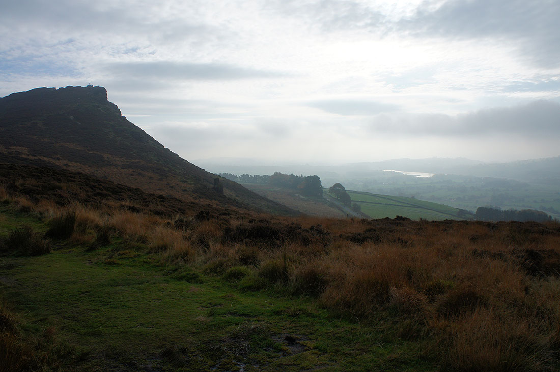
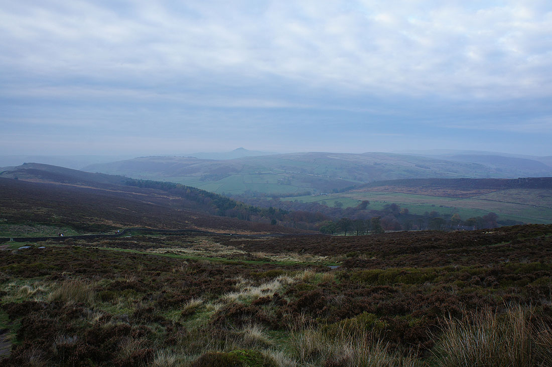
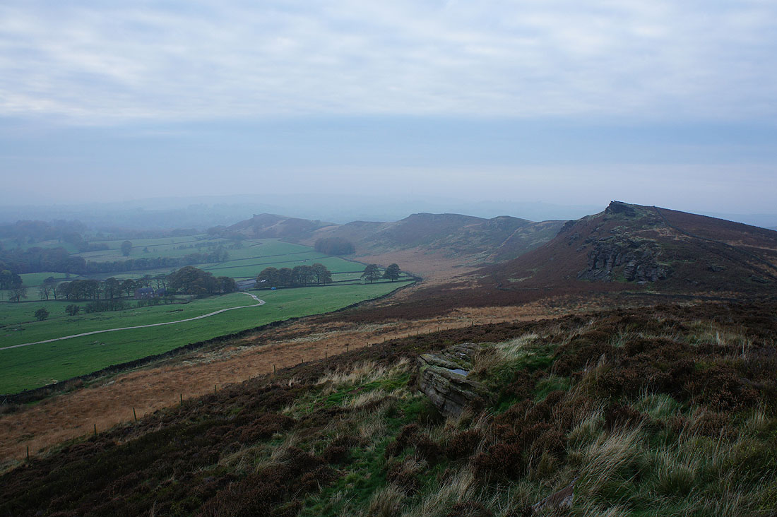
Ramshaw Rocks in the distance, and on the other side of Black Brook, The Roaches up on the right
Back Forest
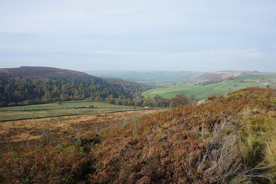
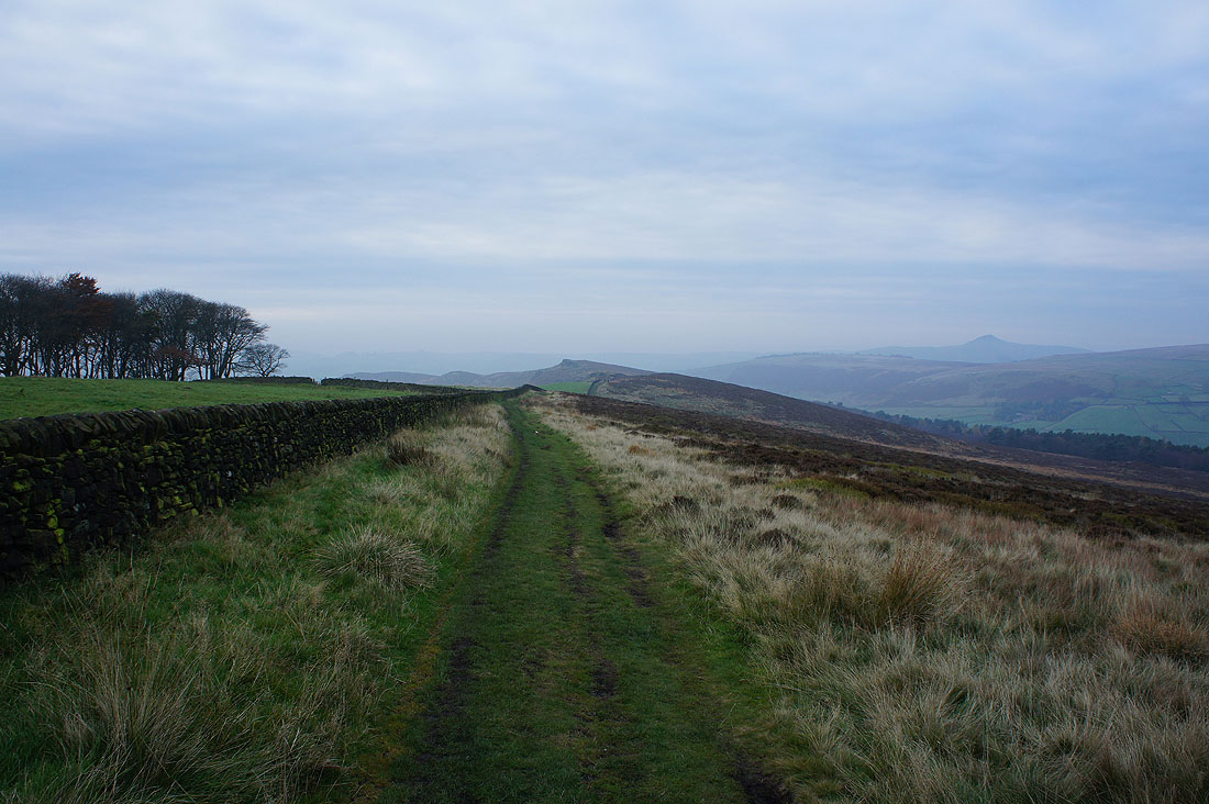
On the footpath off Gradbach Hill and then I have a road walk to Gib Torr Rocks in the mid distance
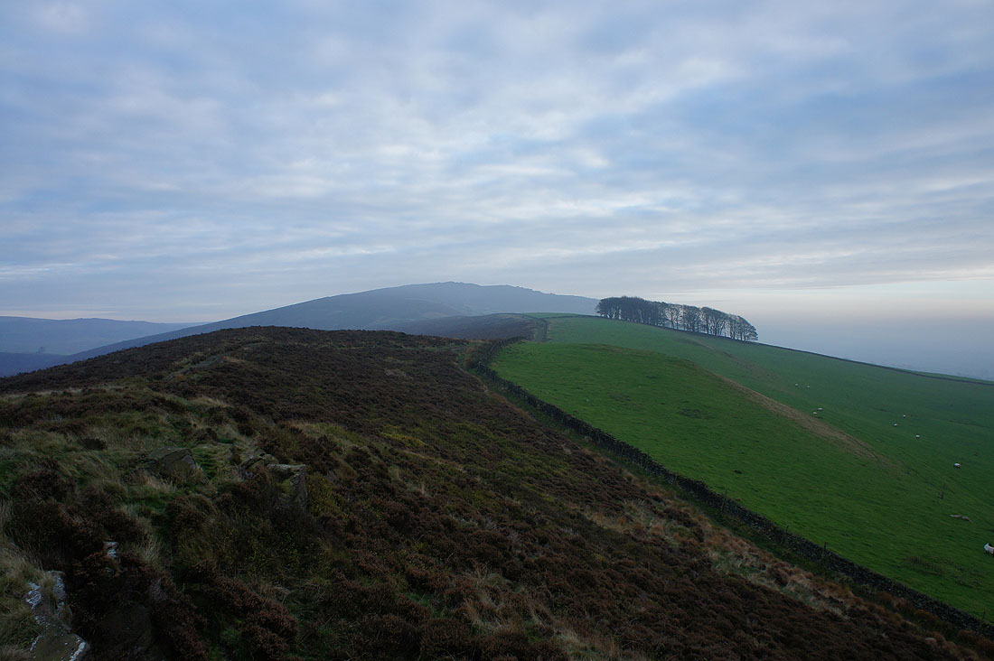
On Gib Torr Rocks looking north to Birchenough Hill and Cut-thorn Hill
Gib Torr Rocks from the public footpath that will take me along a rocky crest to the road at Corner House
and the way ahead with some prominent outcrops in view
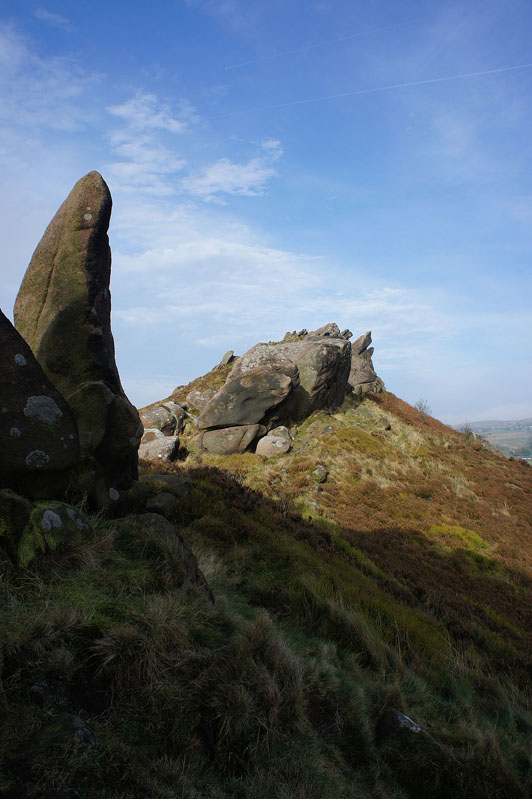
Gib Torr Rocks behind that big boulder on the left
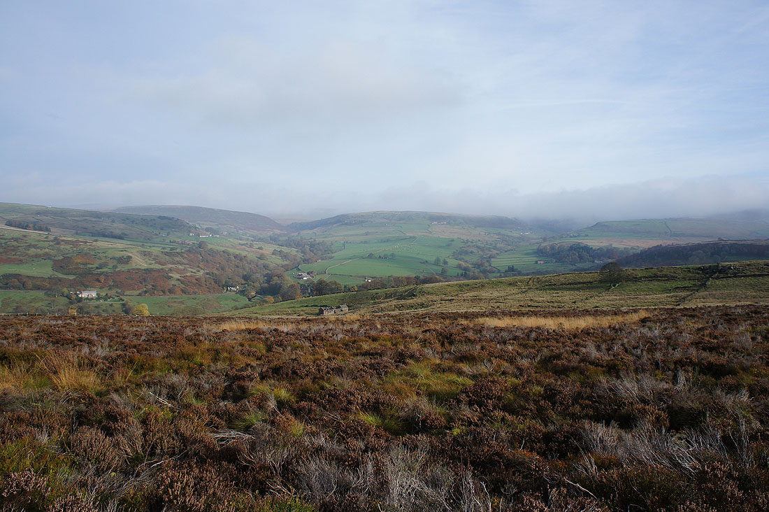
I liked this view looking north to Cut-thorn Hill, Turn Edge and Dane Bower
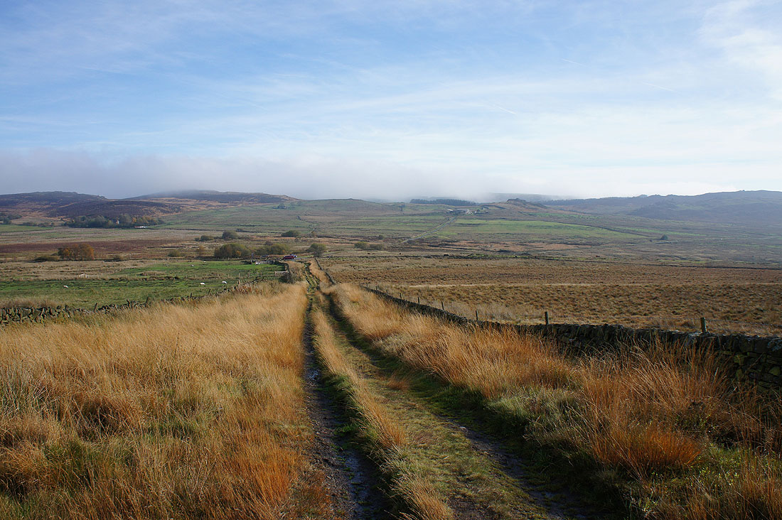
Shutlingsloe in the distance to the northwest from above Newstone Farm
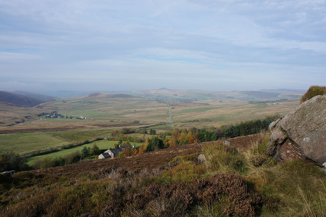
Looking back to the rocky outcrops above the cottage of Corner House as I take the footpath to Ramshaw Rocks
Arrival on Ramshaw Rocks
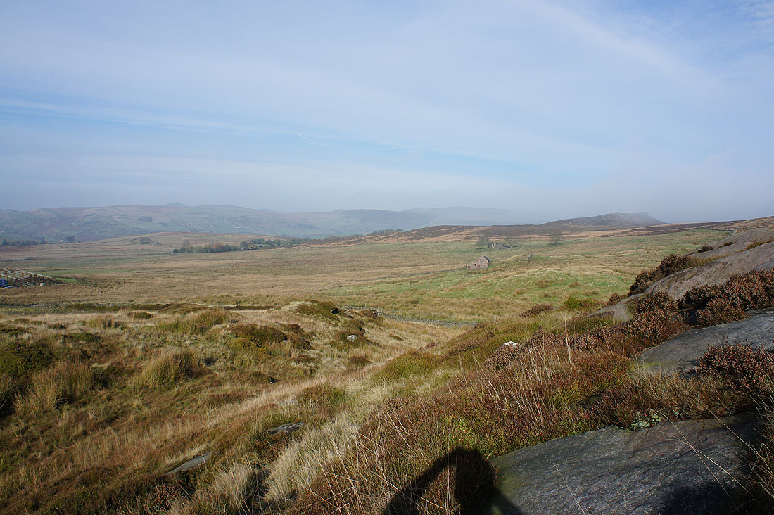
A distant view to the northwest of Shutlingsloe, Cut-thorn Hill and Dane Bower
and if I turn a little to the right, the A53 Leek to Buxton road below
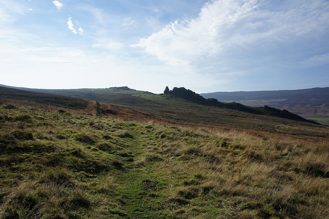
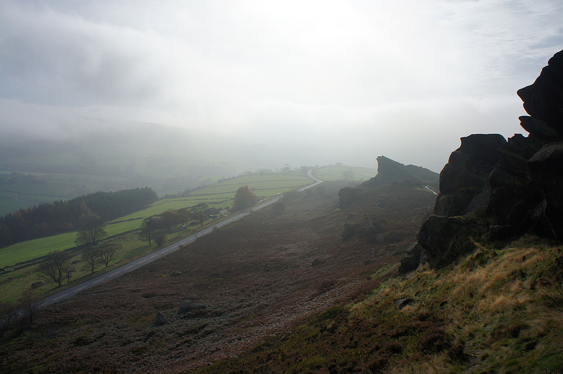
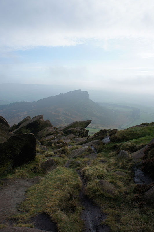
Mist bothering The Roaches
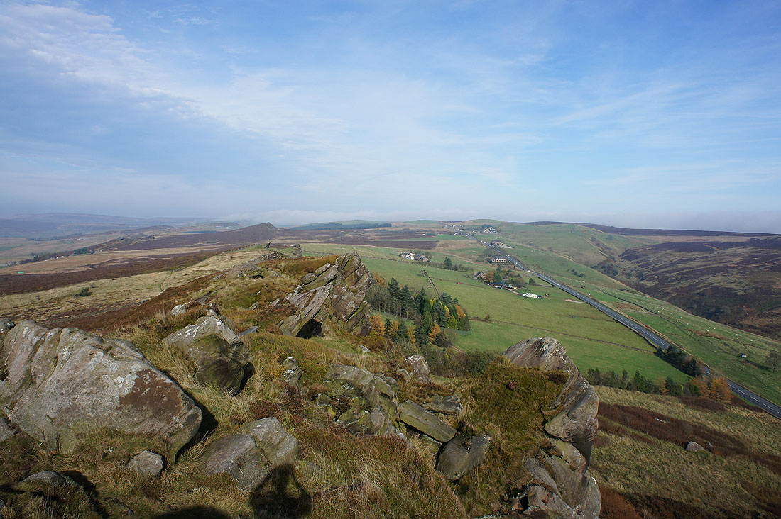
I really enjoyed making my way through the gritstone crags, some of them are quite substantial
Fog shrouds the low ground to the south. As I was writing this I noticed the face in profile on the right.
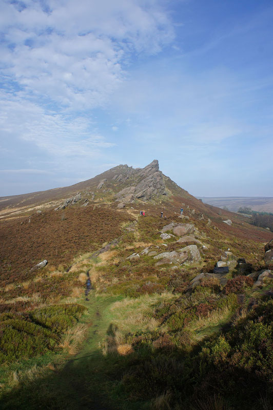
At the southern end of Ramshaw Rocks
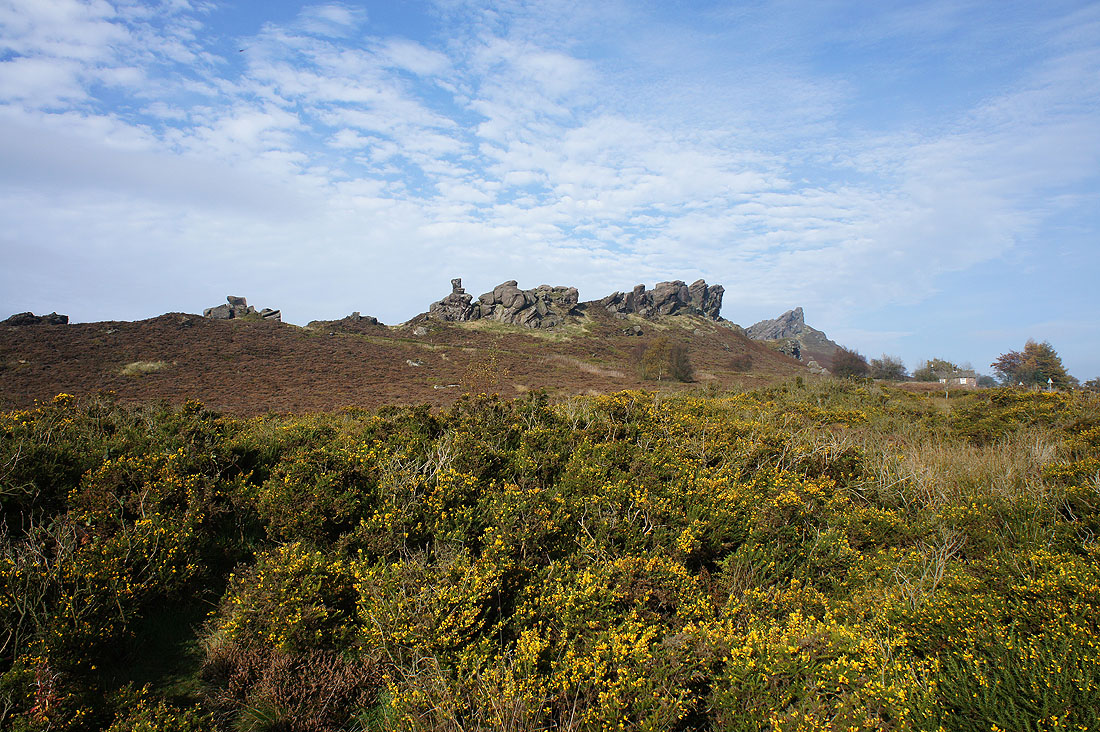
and Ramshaw Rocks from the A53. It's been so mild recently that the gorse is in flower.
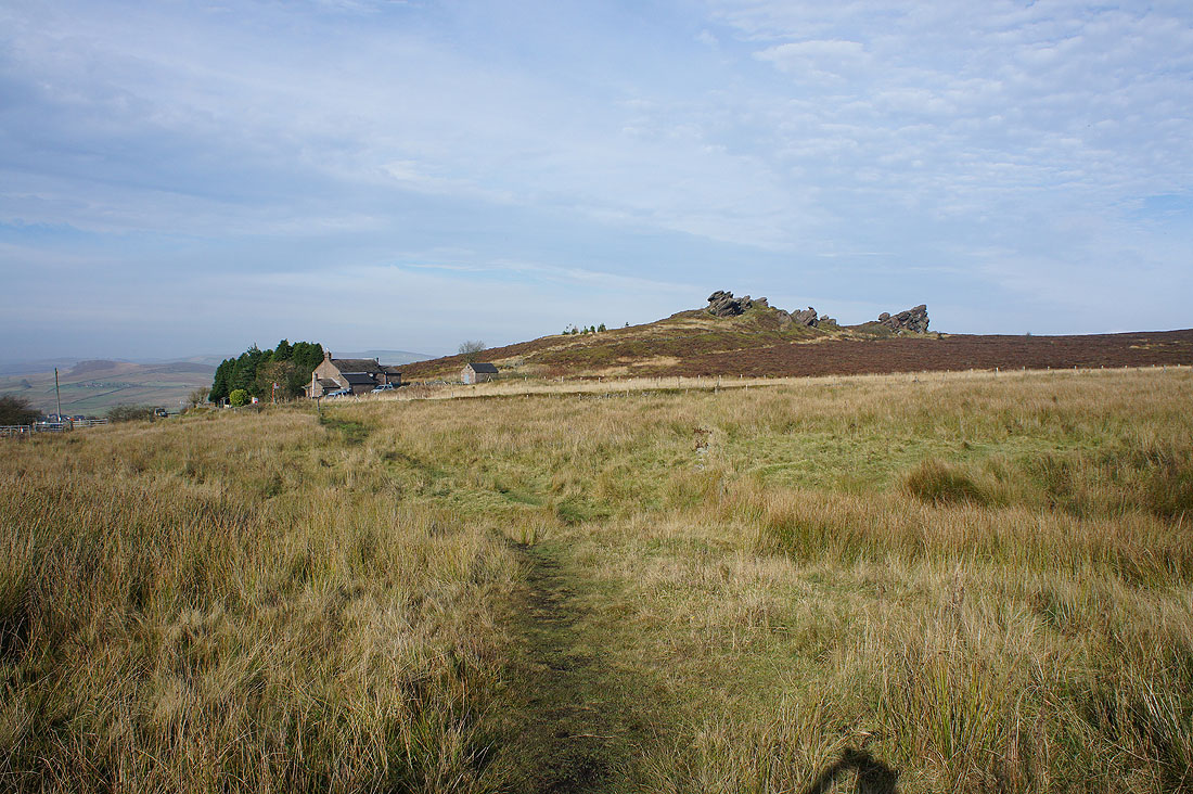
Approaching the southern end of The Roaches from the path across the northern slopes of Hen Cloud
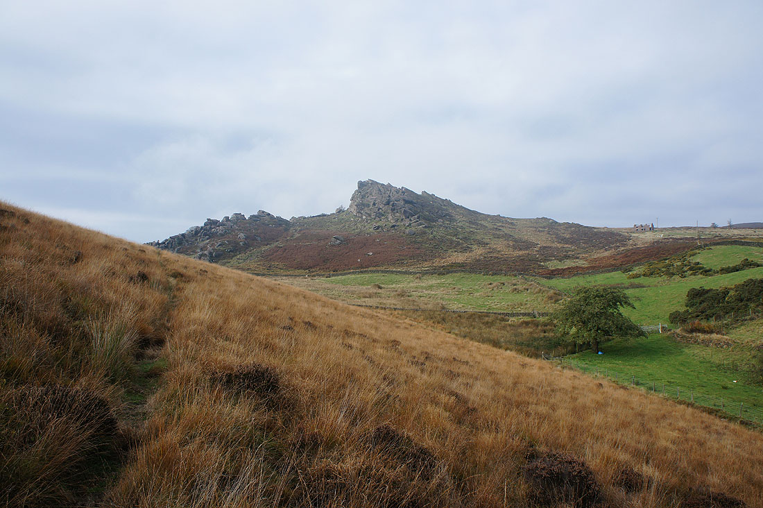
Looking back to Ramshaw Rocks
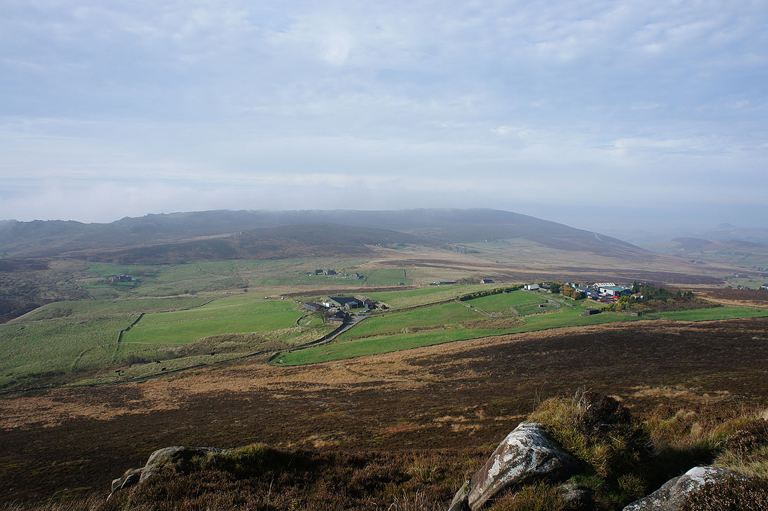
Hen Cloud and Tittesworth Reservoir
A misty Hen Cloud
Heading up the gritstone escarpment of The Roaches
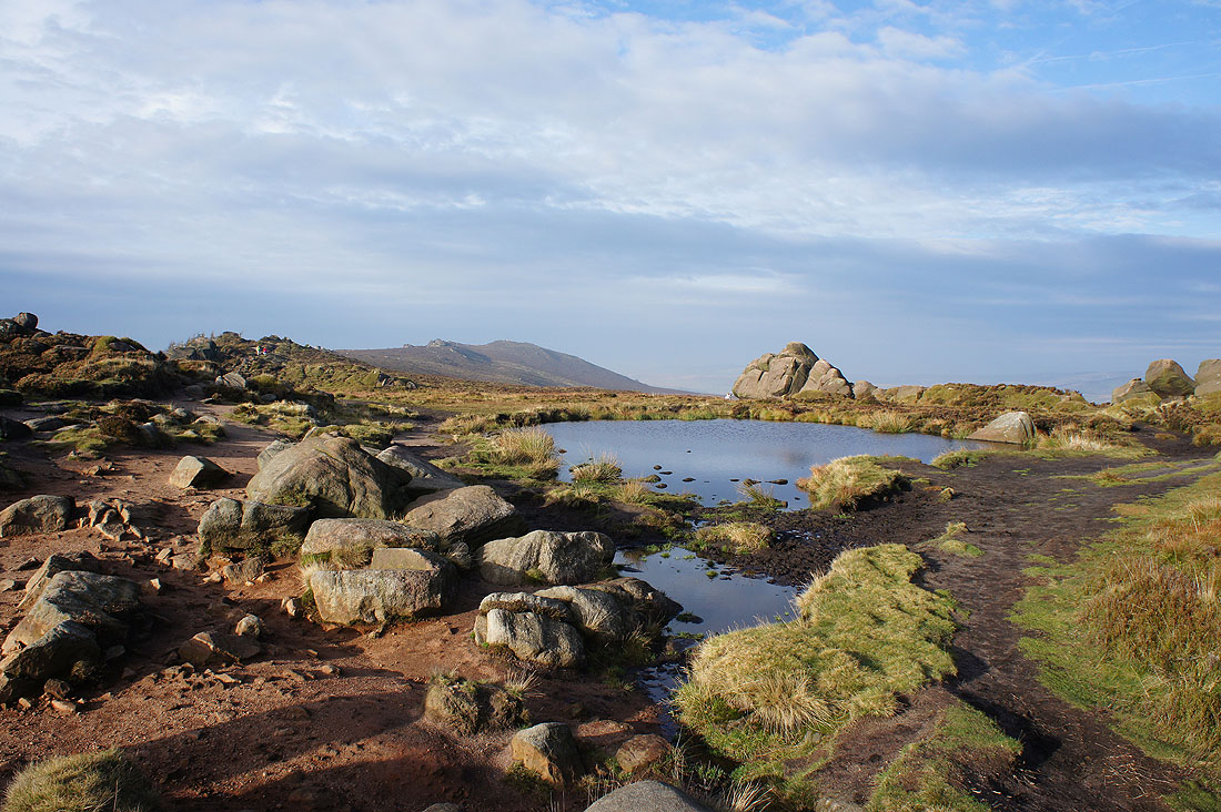
The sun comes out at just the right time as I reach Doxey Pool
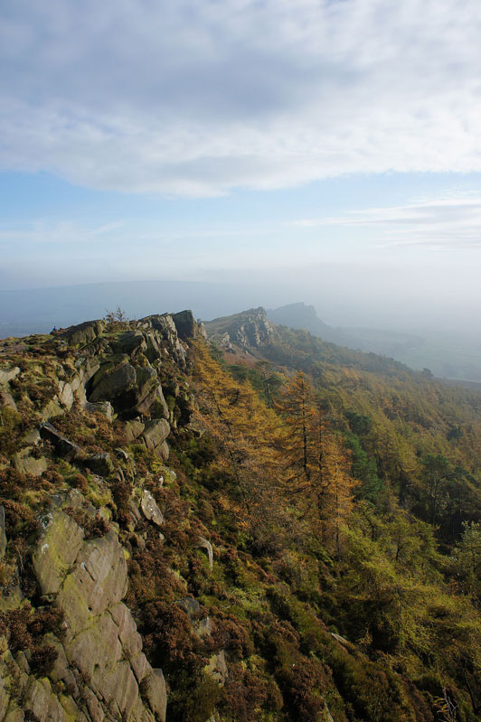
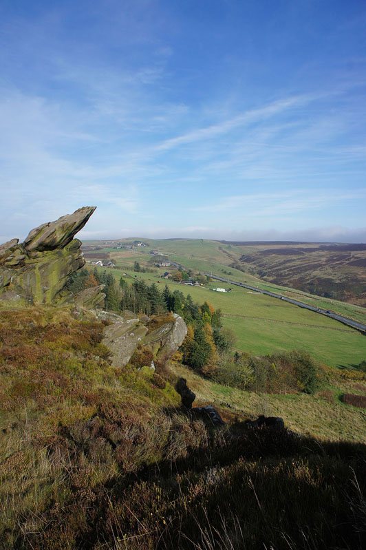
and it certainly made this view of The Roaches my favourite shot of the day
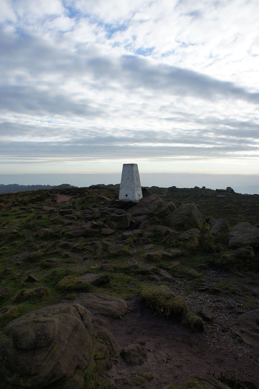
By the time I arrived at the trig point on The Roaches it had pretty much clouded over but with the low lying mist it made it quite atmospheric
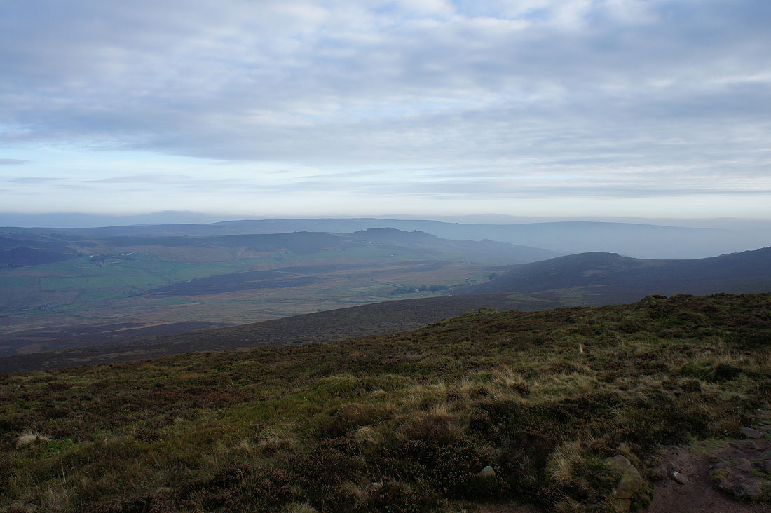
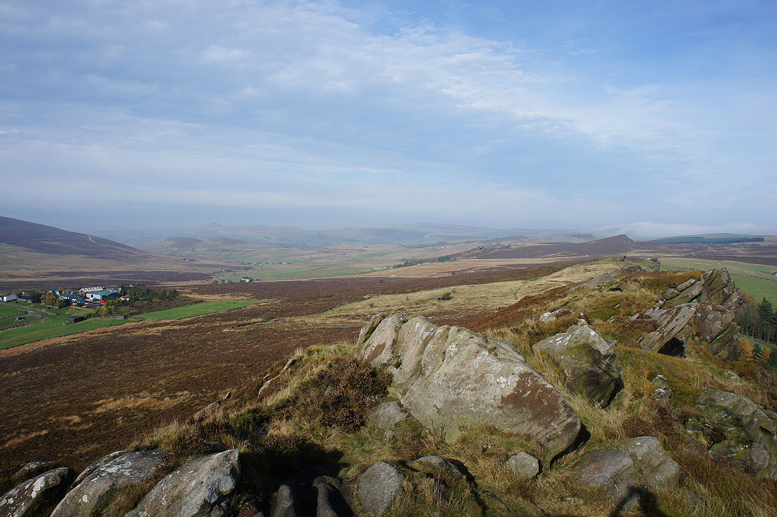
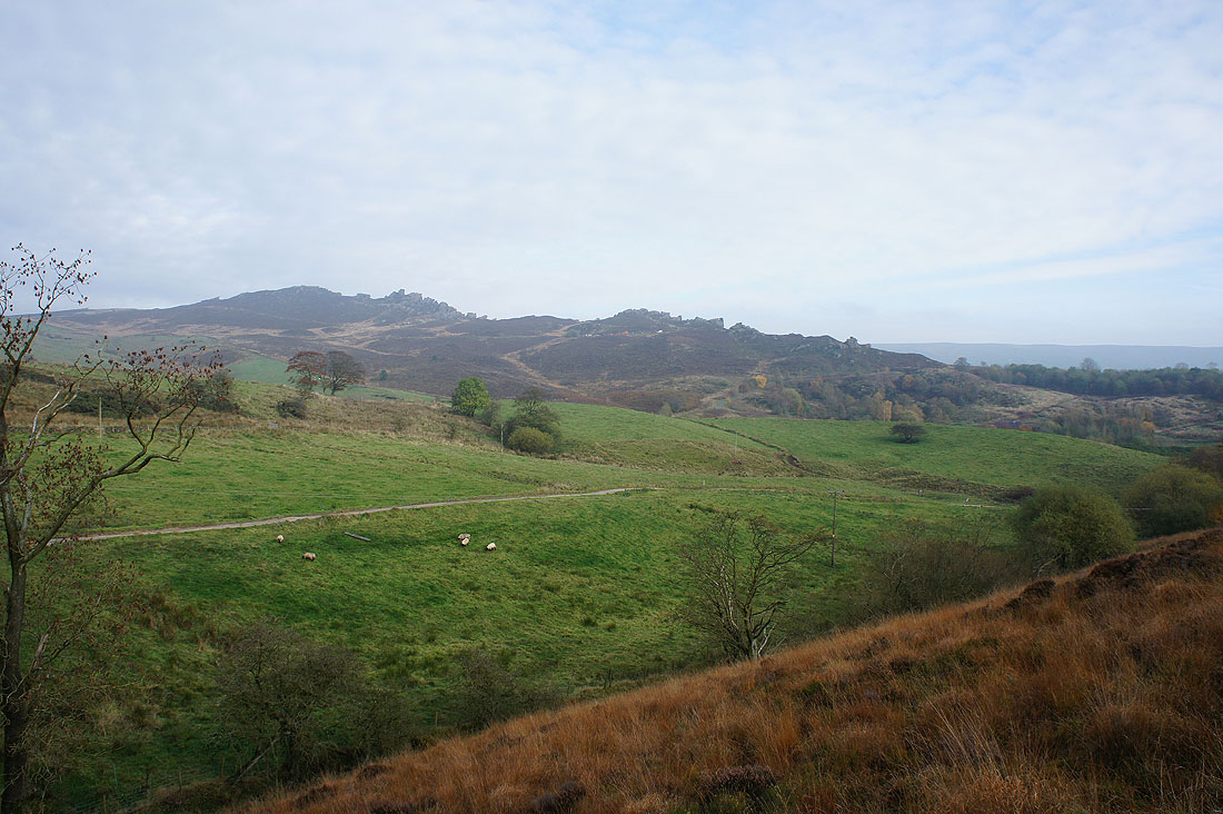
Looking southeast to Ramshaw Rocks and Morridge
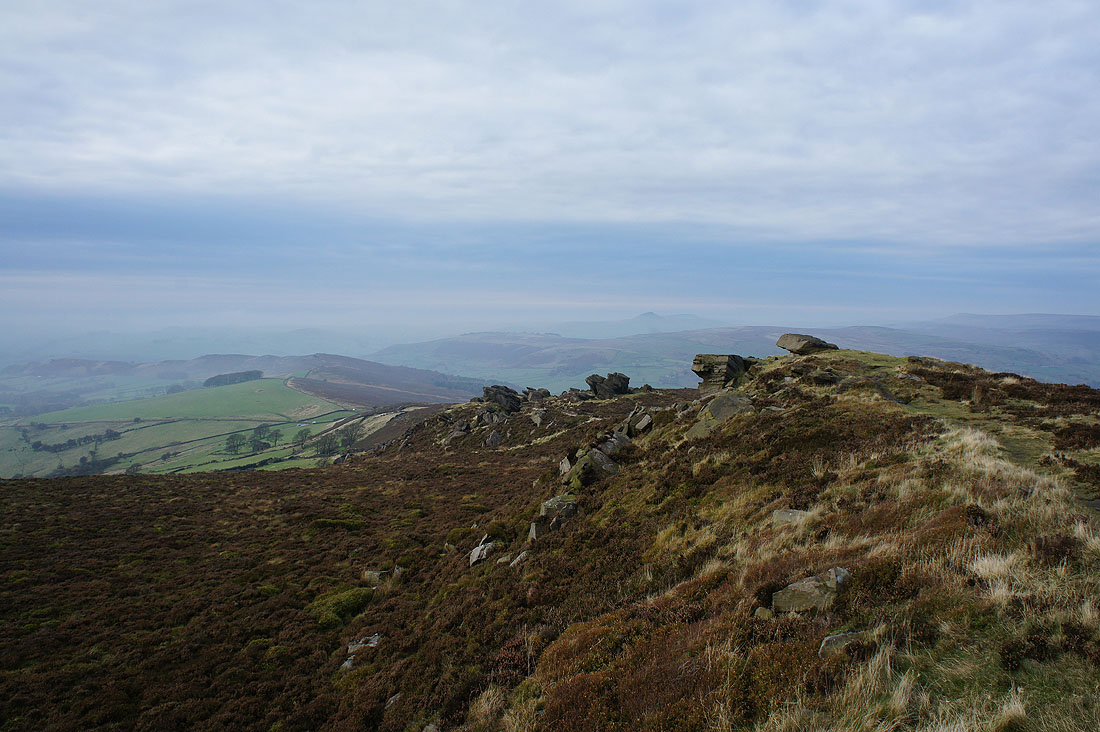
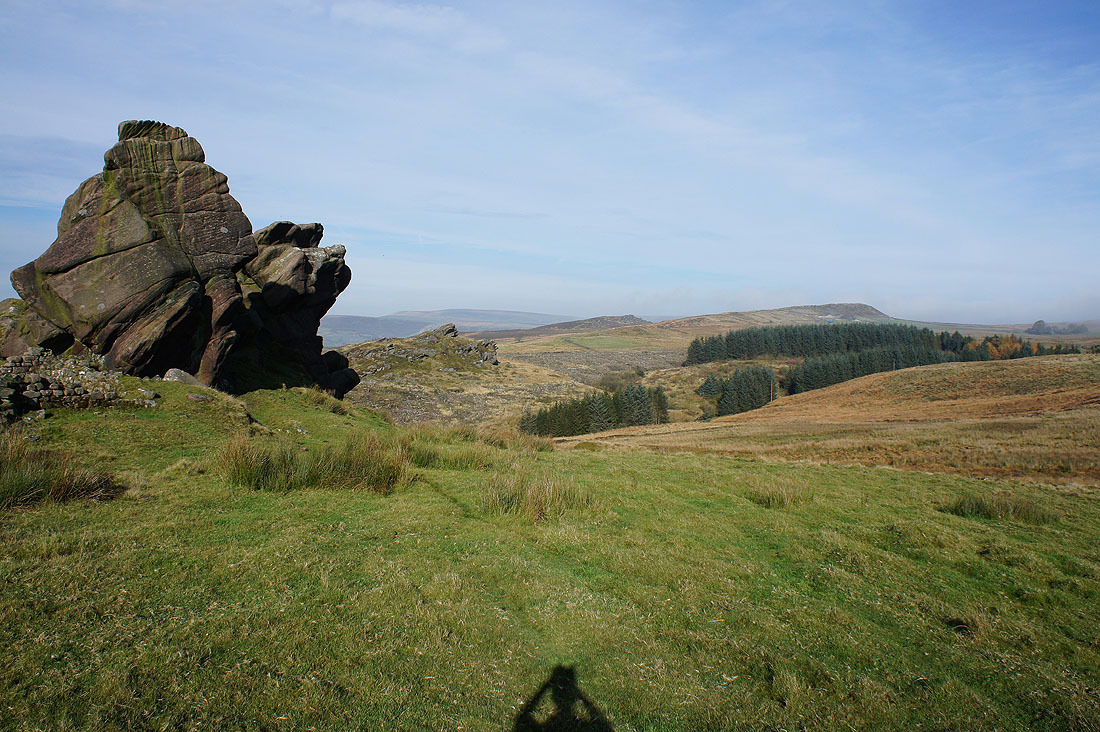
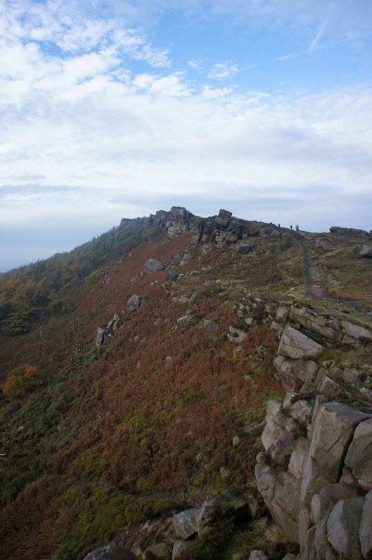
Gritstone outcrops on The Roaches with the ridge to Back Forest on the left
Shining Tor, Three Shire Heads and Axe Edge Moor in the distance
Looking across the Dane Valley to a distant Shutlingsloe
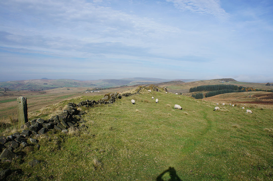
On the moorland crest of Back Forest
The Roaches from Back Forest
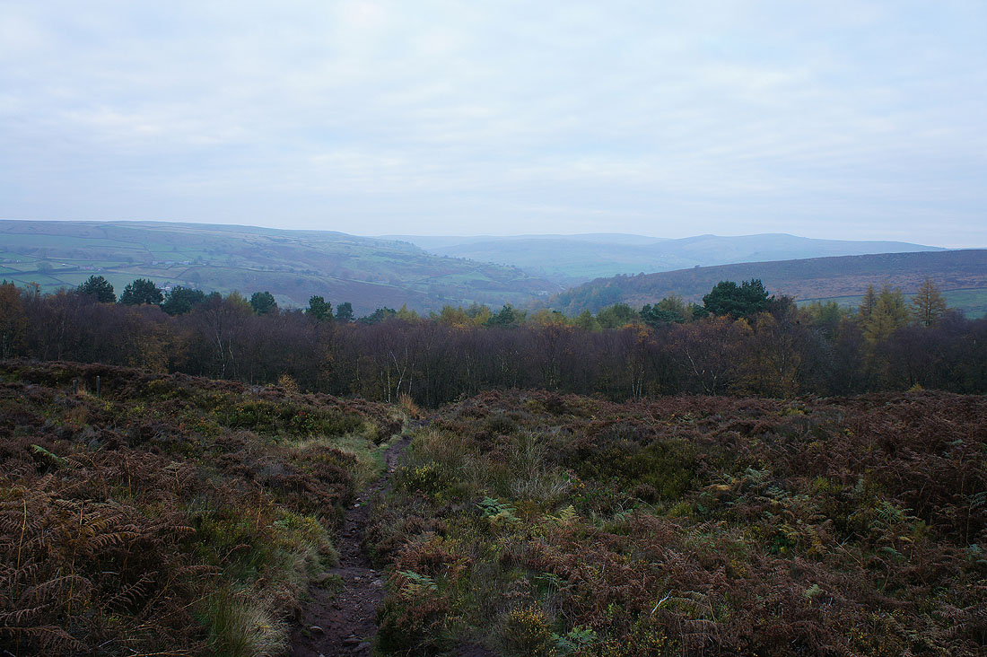
and looking along the ridge to Hanging Stone
Heading down into Forest Wood
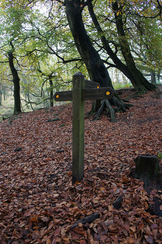
Destination Gradbach
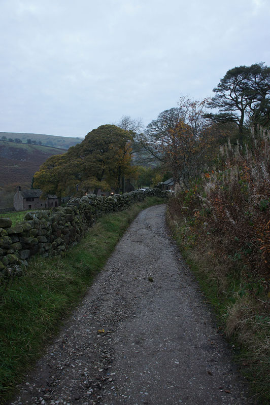
and on the bridleway to Gradbach after crossing the stepping stones in Black Brook unscathed