3rd April 2011 - Trollers Gill
Walk Details
Distance walked: 7.5 miles
Total ascent: 1046 ft
OS map used: OL2 - Yorkshire Dales, Southern & Western areas
Time taken: 3.5 hrs
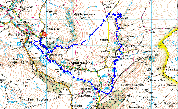
Route description: Burnsall-Dales Way-Howgill-Skyreholme-Trollers Gill-Kail Lane-Burnsall
A walk from Burnsall along the River Wharfe, lanes and field paths to Trollers Gill and then back to Burnsall.
Route map
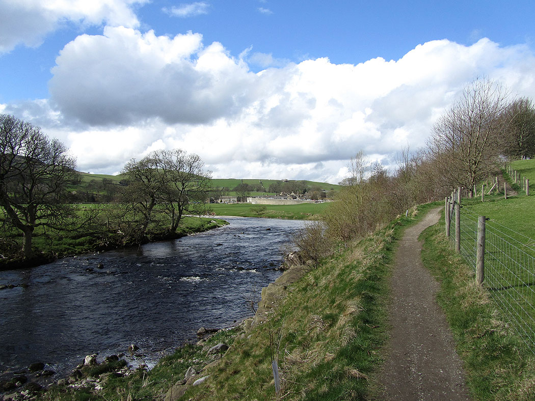
The River Wharfe at Burnsall
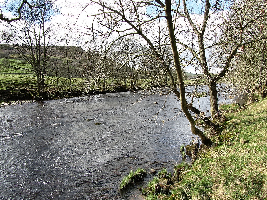
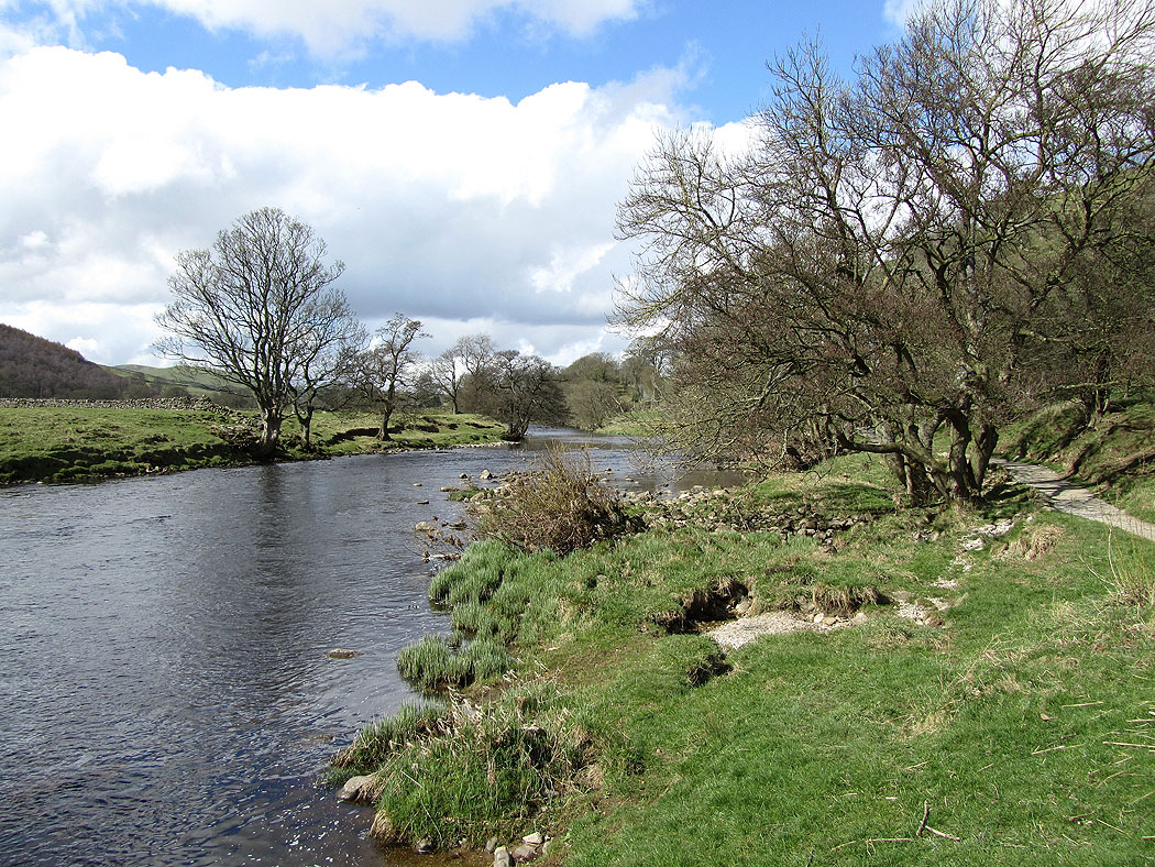
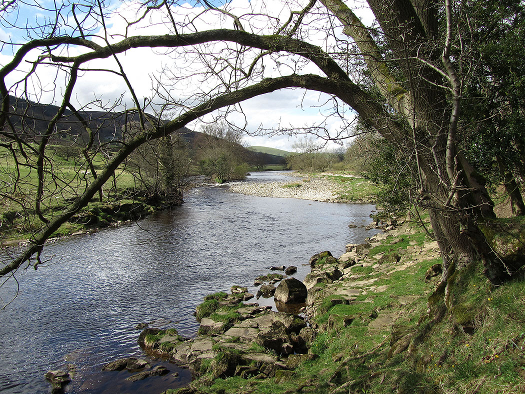
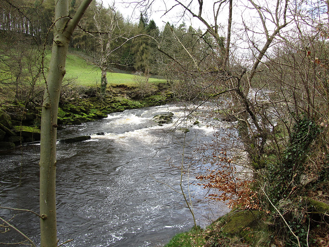
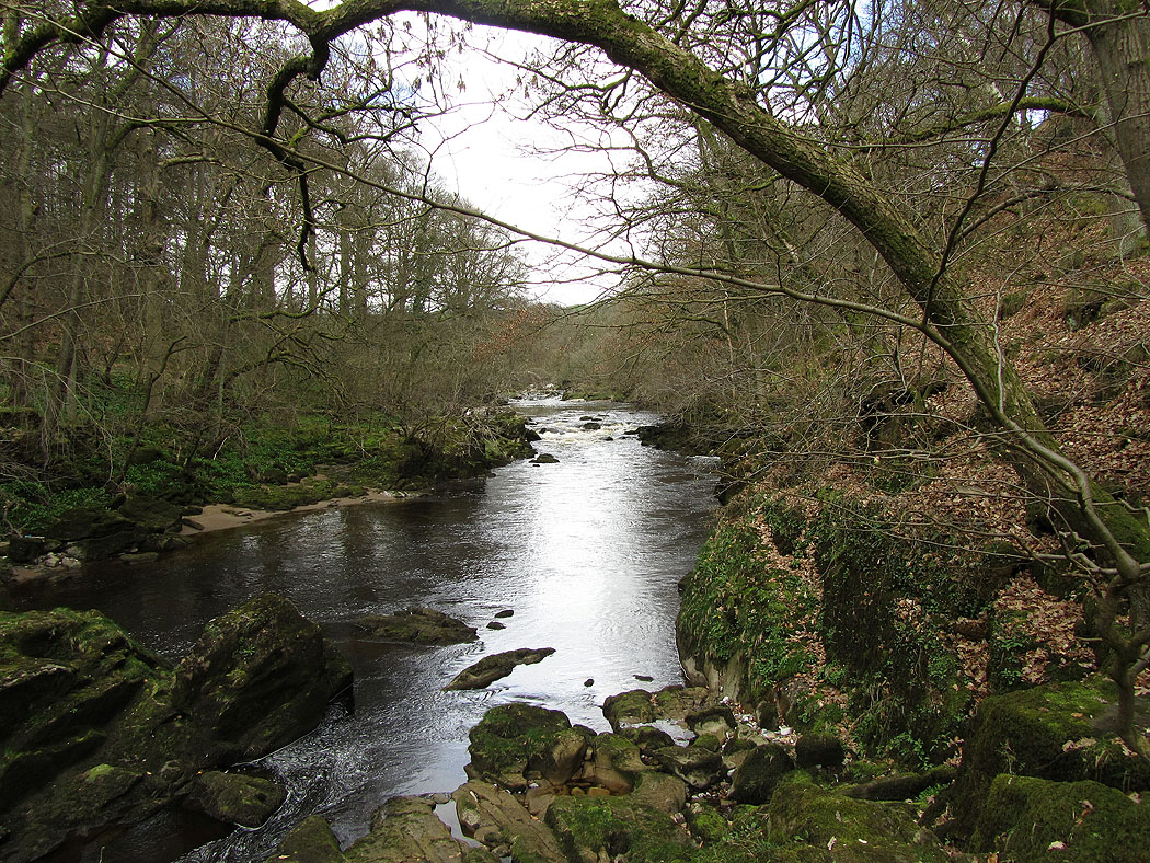
My route follows the Dales Way by the River Wharfe for a few miles.......
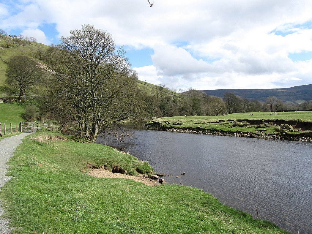
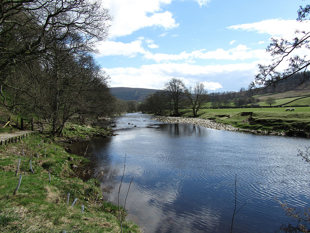
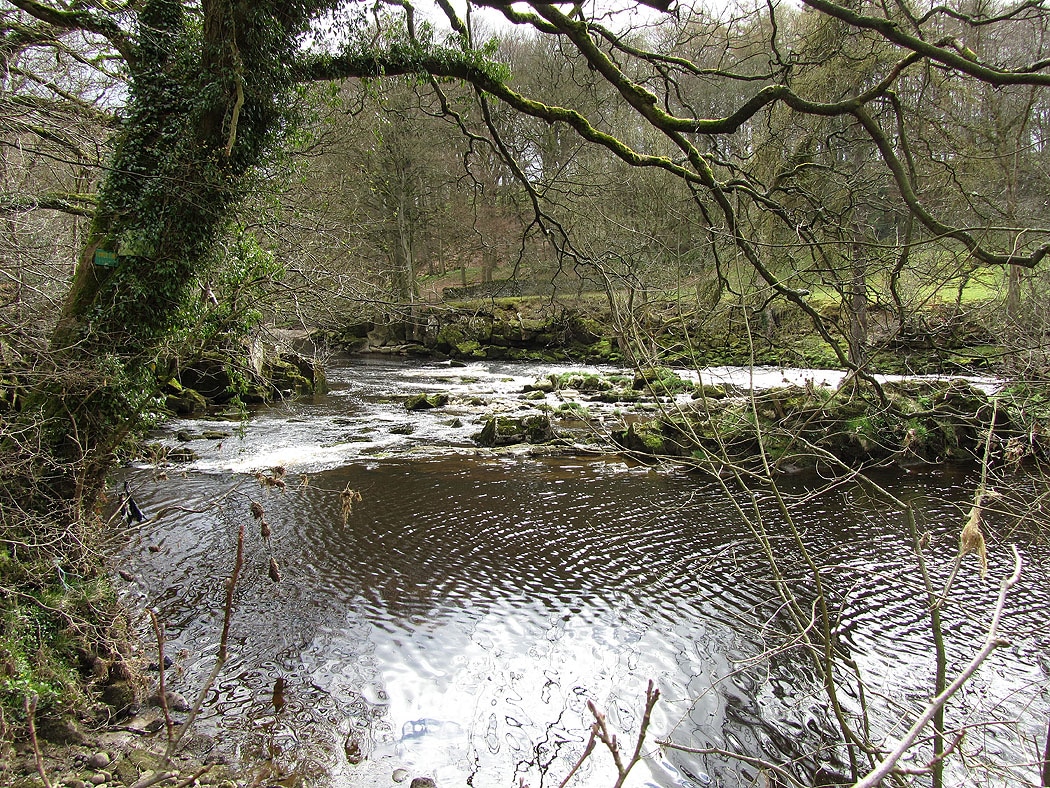
Last picture of the Wharfe as I head to the hamlet of Howgill and the track of Howgill Lane
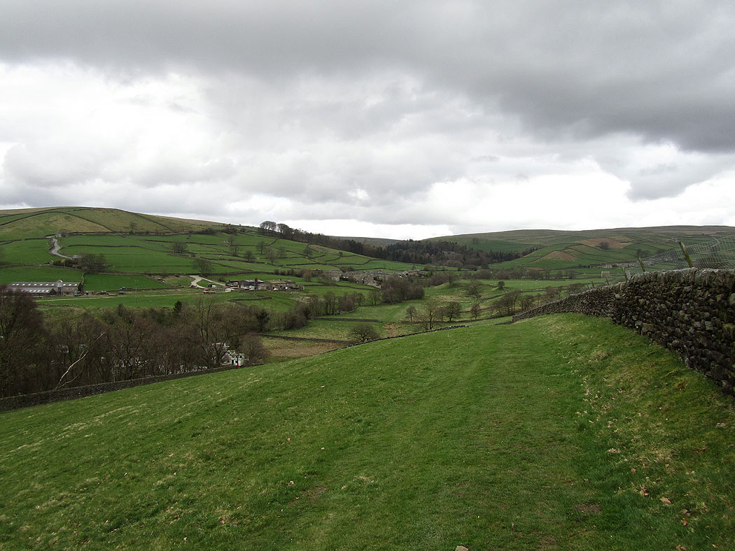
Howgill from Howgill Lane
Burnsall Fell in the distance from Howgill Lane
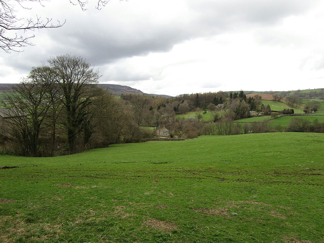
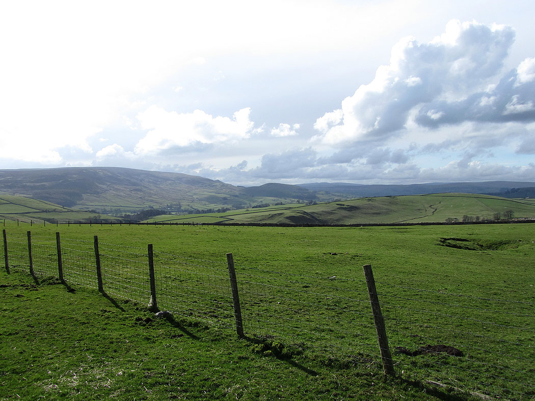
Across the fields to Skyreholme
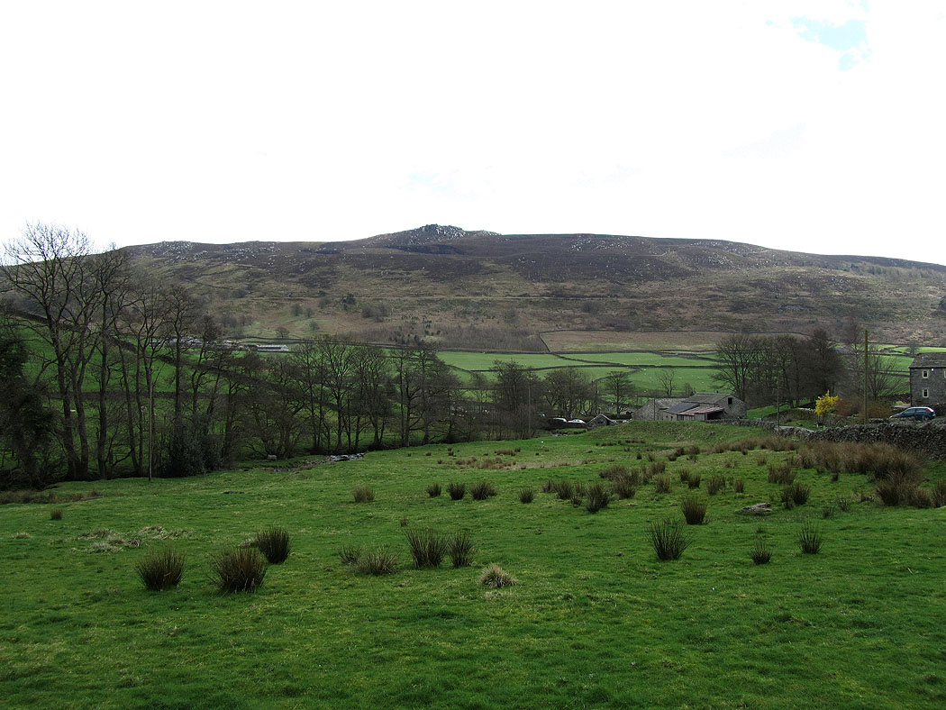
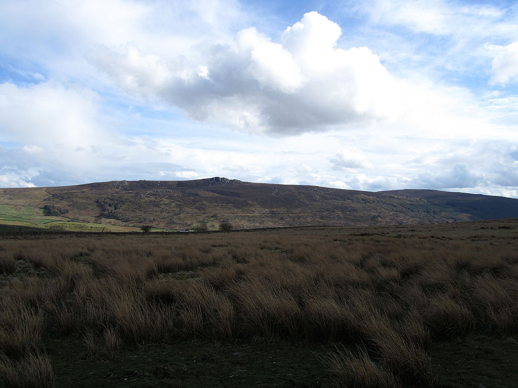
Simon's Seat
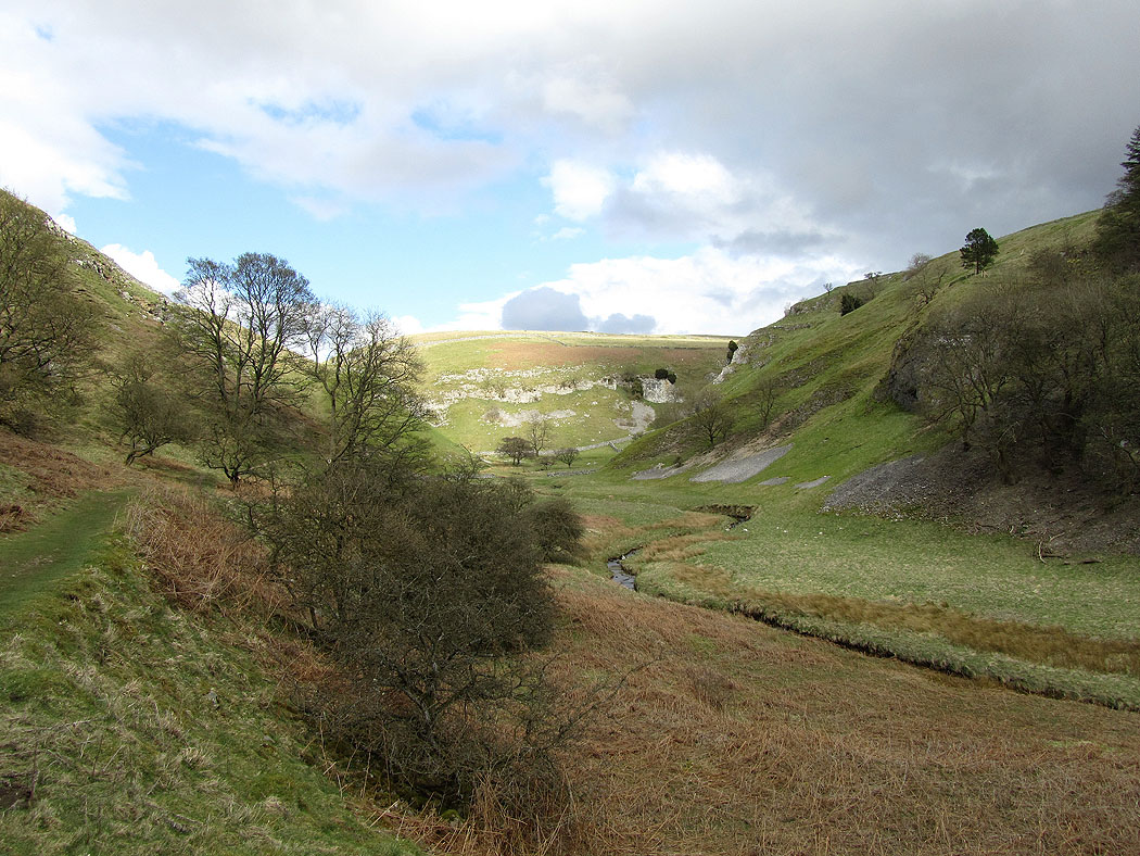
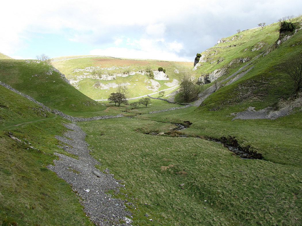
The valley of Skyreholme Beck that leads to Trollers Gill..
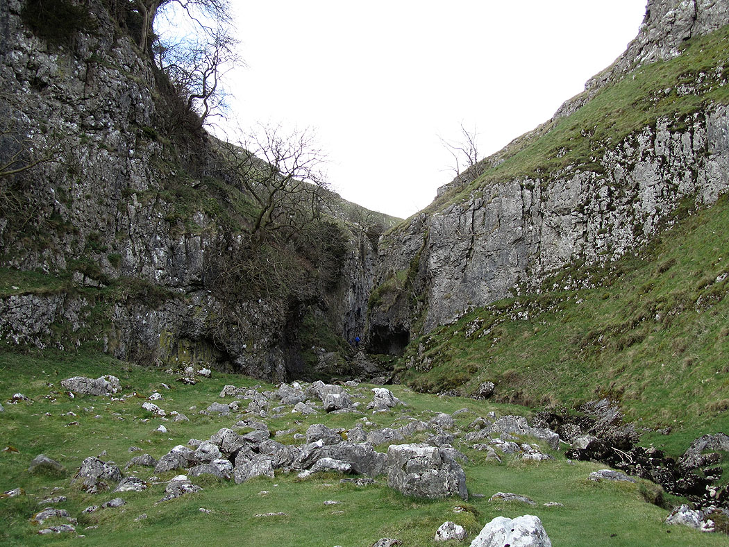
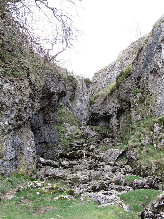
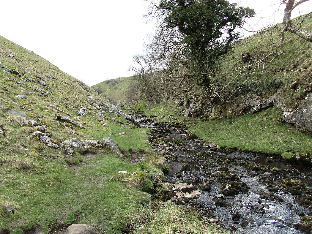
Trollers Gill...
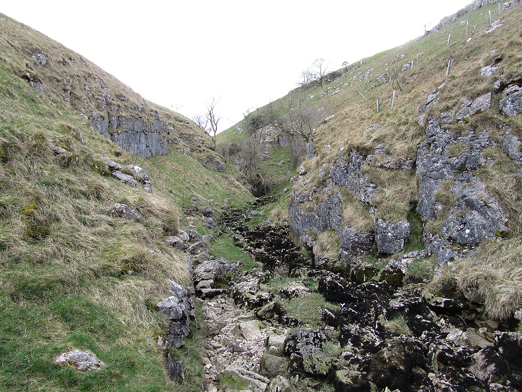
At the top of Trollers Gill
Simon's Seat
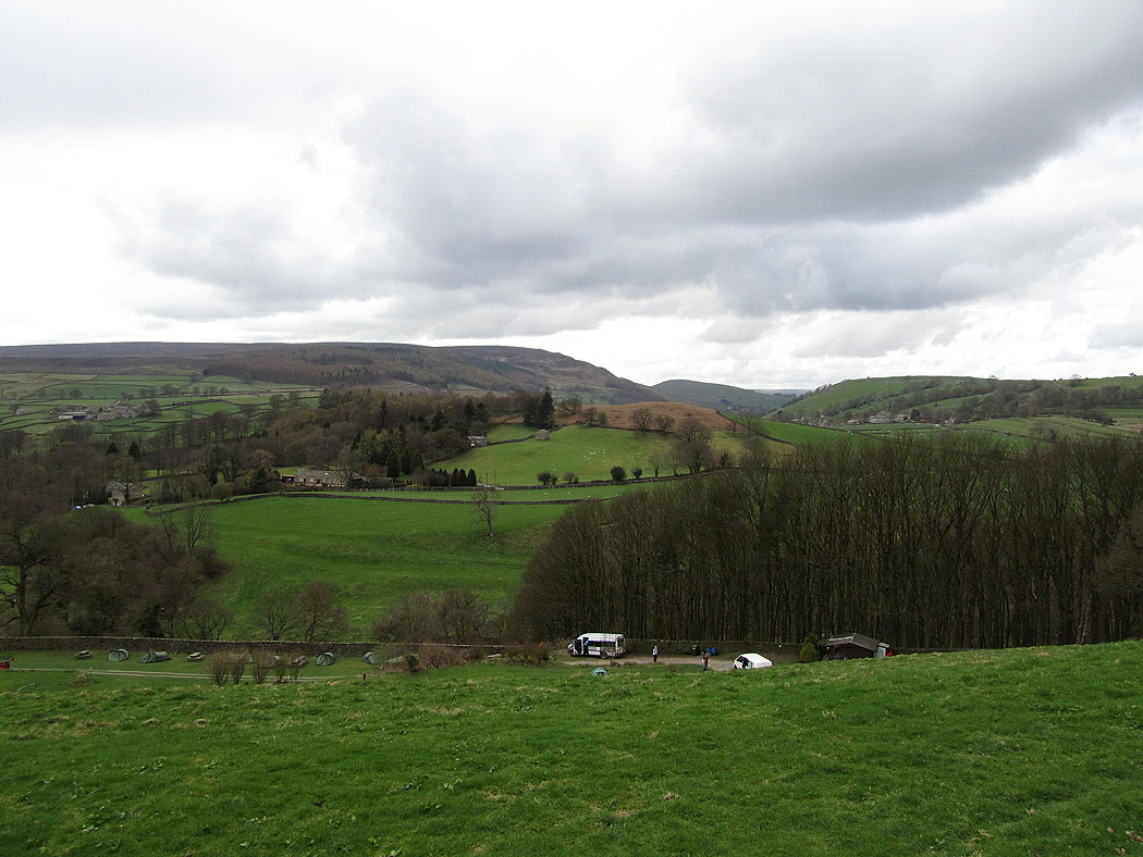
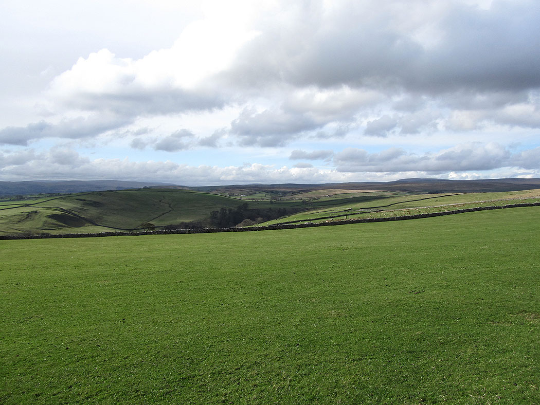
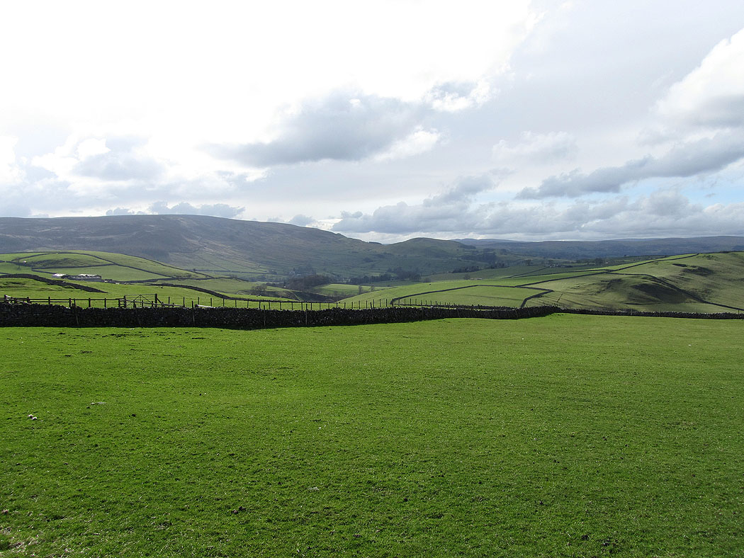
Big skies on the way back to Burnsall...
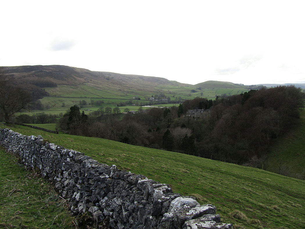
Hartlington Hall in the woods
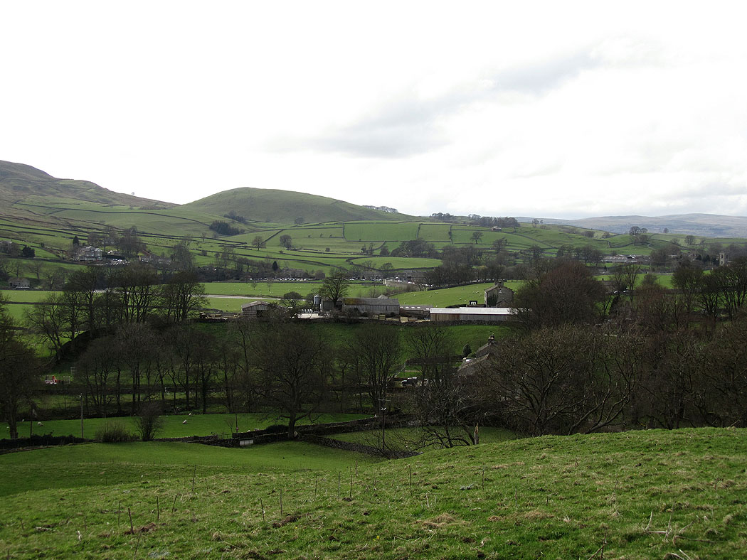
Almost back to Burnsall
