3rd April 2016 - Shutlingsloe, Shining Tor & Axe Edge Moor
Walk Details
Distance walked: 14.7 miles
Total ascent: 3146 ft
OS map used: OL24 - The Peak District, White Peak area
Time taken: 7.5 hrs
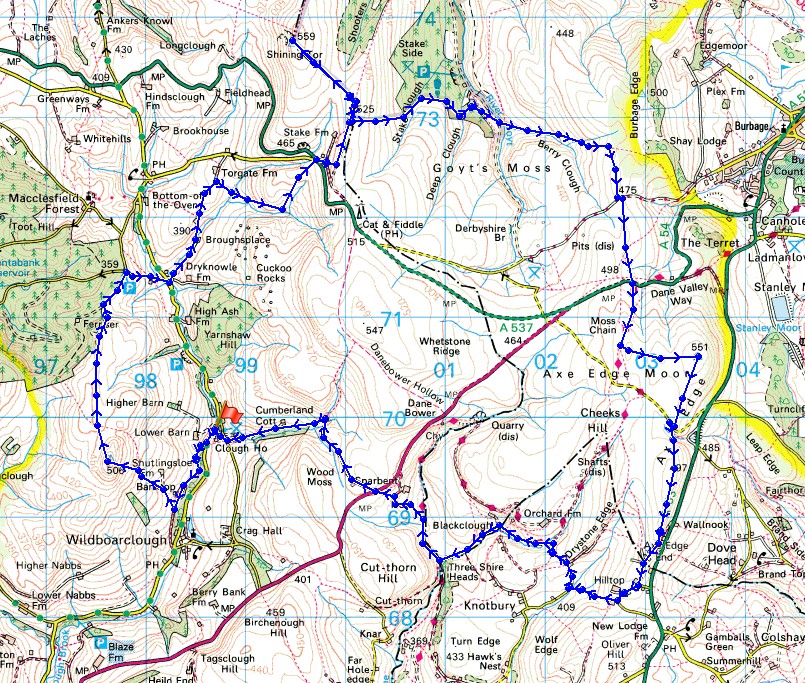
Route description: Clough House-Bank Top-Shutlingsloe-Buxtors Hill-Broughspace-Chest Hollow-A537-Shining Tor-Stake Clough-Berry Clough-A54-Axe Edge Moor-Axe Edge-Axe Edge End-Hilltop-Oxenstitch-Readyleech Green-Blackclough-Three Shire Heads-Dane Valley Way-A54-Cumberland Clough-Clough House
I can't remember the last time that I did a walk this long and now I know why. By the time I reached Three Shire Heads I was ready for the end and I still had a few miles to go. I also had in the back of mind that I couldn't stop for too long in any one place and that I had to keep moving. That said, I did enjoy this route. It was a natural way of linking three of the summits in these western moors; Shutlingsloe, Shining Tor and Axe Edge Moor. The first two were familiar to me but Axe Edge Moor was new territory and going there sort of filled in a gap as I'd done walks around it but never to it. Weather wise it was a nice spring day with some good sunny spells until the middle of the afternoon and a strong breeze. Although it was pretty hazy the sunshine did make the moorland colours look good.
Starting from the car park at Clough House near Wildboarclough I set off by briefly walking south along the road to Wildboarclough before taking the footpath on the right to Bank Top and then the path to reach the first summit of the day, Shutlingsloe. I briefly followed the flagged path north off Shutlingsloe but left it for a concessionary path that crosses the top of Buxtors Hill to join up with a track at the top of Macclesfield Forest. When this came to an end at a lane I turned right and followed the lane downhill to reach the road in the valley below next to Clough Brook. On the other side of the road was the footpath along the drive to the farm of Brough's Place, and from there I followed the path to Torgate Farm. As I approached the farm I picked up the concessionary path to Chest Hollow and up to the Cat & Fiddle road. After crossing the road I took the path above Stake Farm and to Shining Tor, the second summit of the day. Lunch was taken here. I then retraced my steps to reach the path down into Stake Clough and Deep Clough which brought me to the road up Goyt's Clough. I then followed the path up Berry Clough and at its top took the one signposted for Axe Edge. This heads south across a byway to reach the A54. On the other side of the road a track heads up onto Axe Edge Moor. To reach the trig point I had to leave it for a thin path across boggy ground. The trig point here was the last top of the day. Next, I made my way south across the moor and a lane and up onto Axe Edge before reaching Axe Edge End and the bridleway at Hilltop. Quiet country lanes were then followed west past Oxenstitch and Readyleech Green farms to the bridleway down Black Clough to reach Three Shire Heads and Panniers Pool. I briefly took the Dane Valley Way north and then a bridleway past Holt Farm up to the A54. After crossing the road a byway to and down Cumberland Clough brought me back to where I was parked at Clough House.
Route map
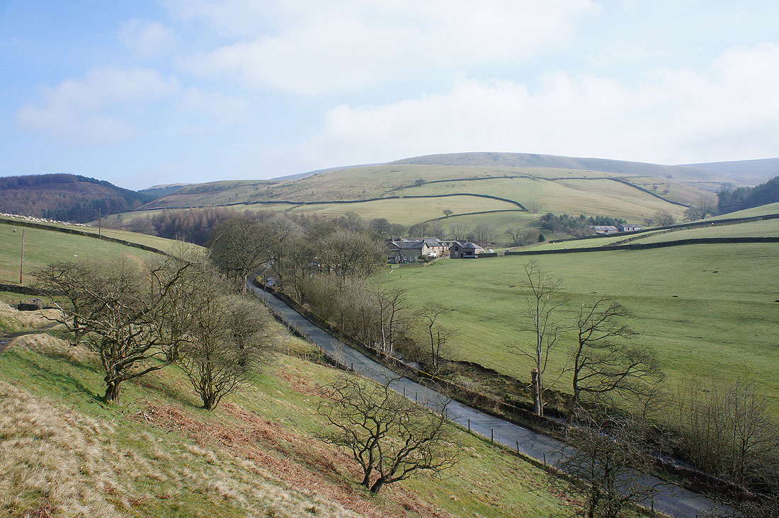
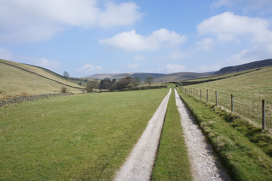
Looking back to Clough House as I take the footpath to Bank Top
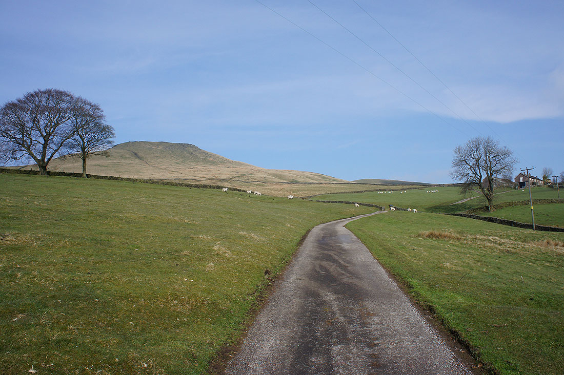
It isn't long before Shutlingsloe, the first summit of the day comes into view
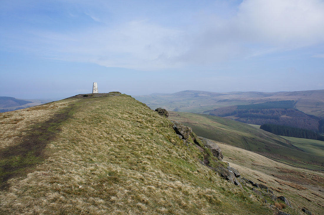
Approaching the summit trig
On the summit with Macclesfield Forest in the background
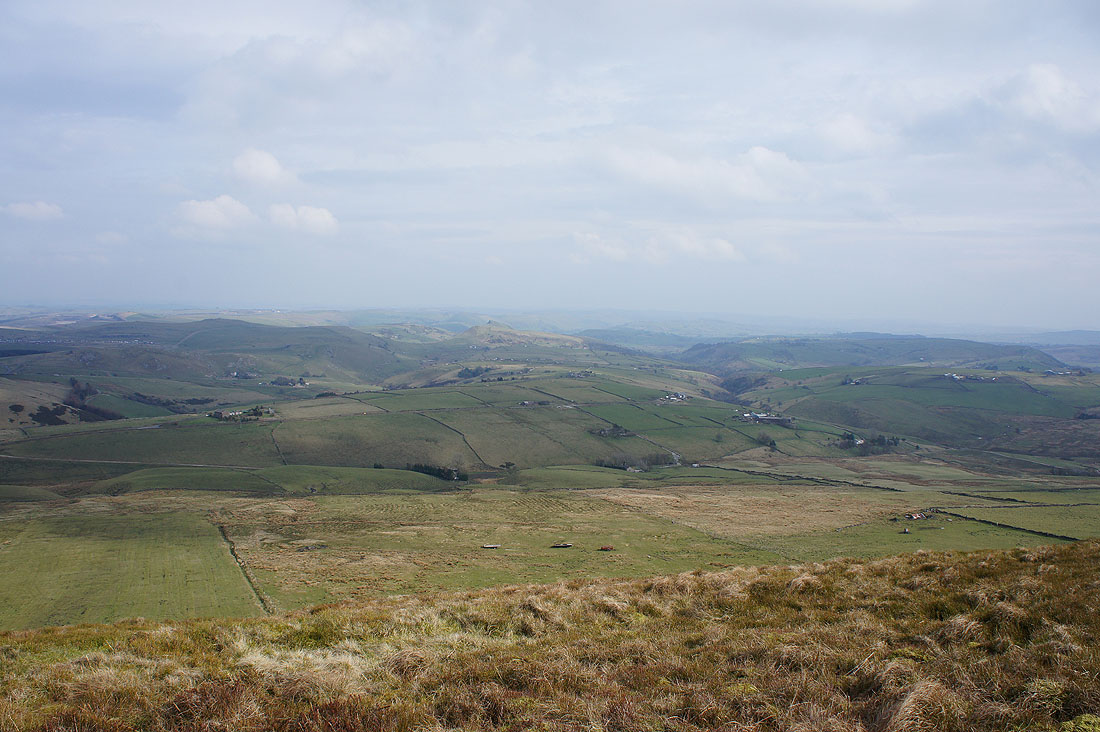
A hazy view of The Roaches to the south
The wooded Cumberland Clough to the east. My walk will finish with walking down it.
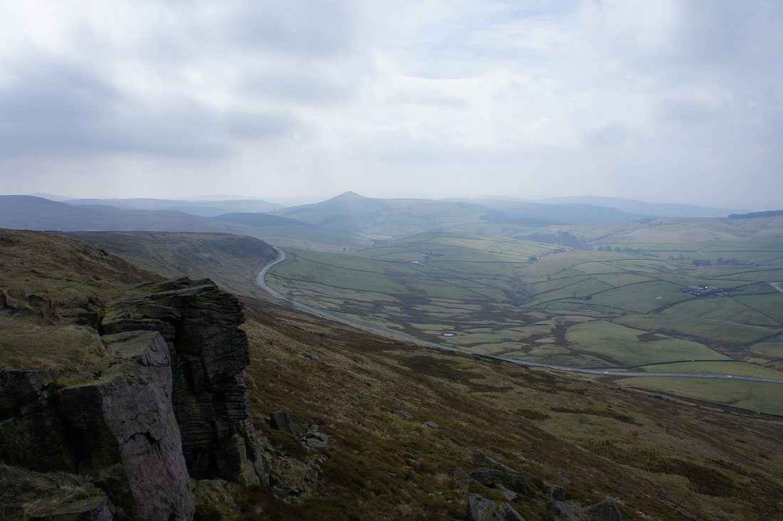
Shining Tor, the next summit to the northeast. Looks a long way away.
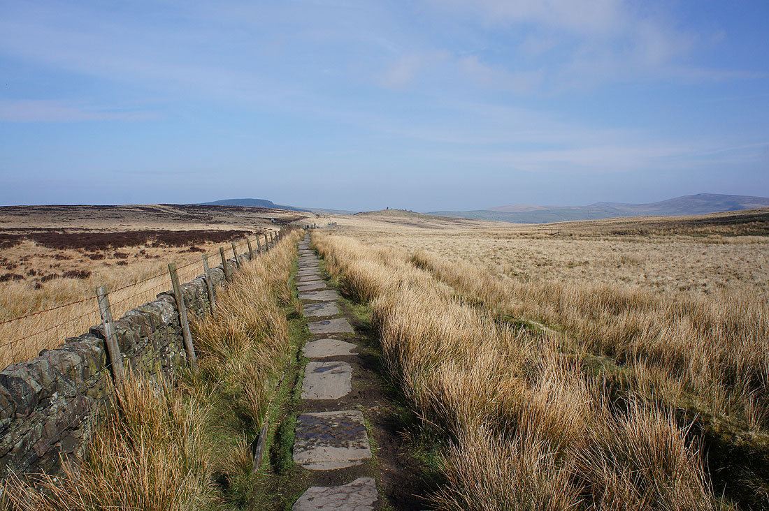
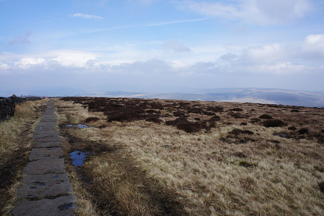
A flagged path to follow north from Shutlingsloe
Looking back to Shutlingsloe from the concessionary path across Buxtors Hill
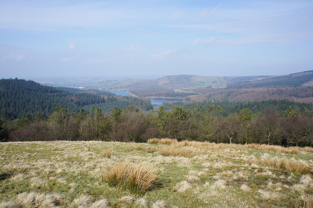
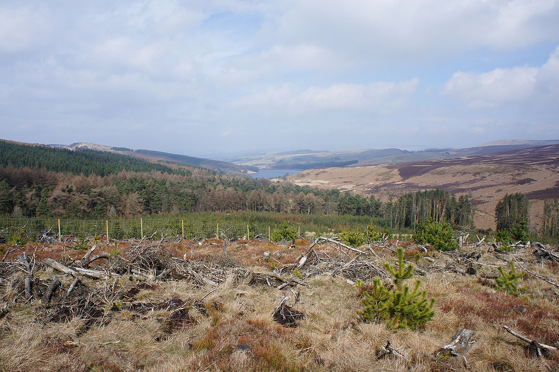
Ridgegate Reservoir and Trentabank Reservoir down in Macclesfield Forest
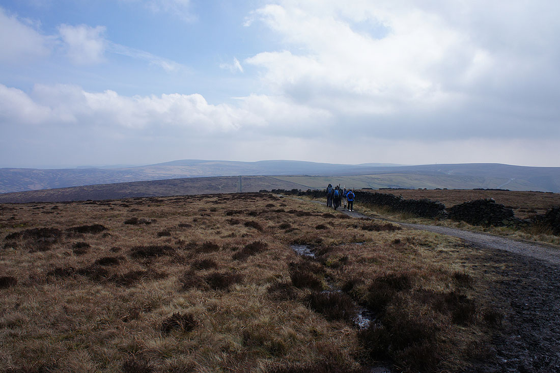
The concessionary path joined this track at the top of the forest and at the road ahead I'll turn right and follow it downhill
On the footpath to Broughspace
and on the concessionary footpath up Chest Hollow that will take me to the Cat & Fiddle road
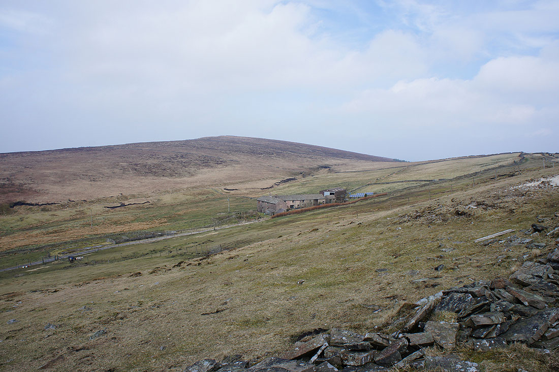
Shining Tor above Stake Farm. Not far to go now.
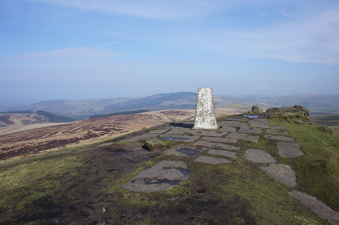
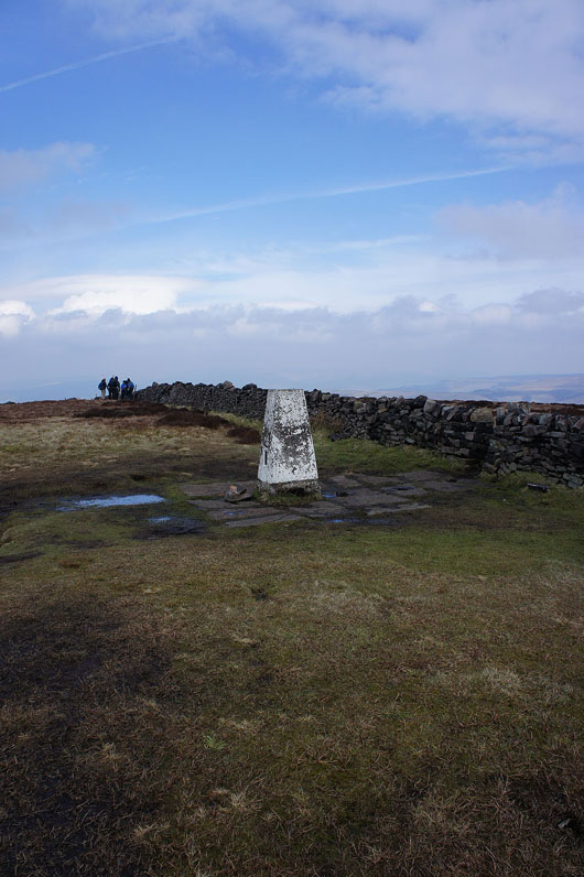
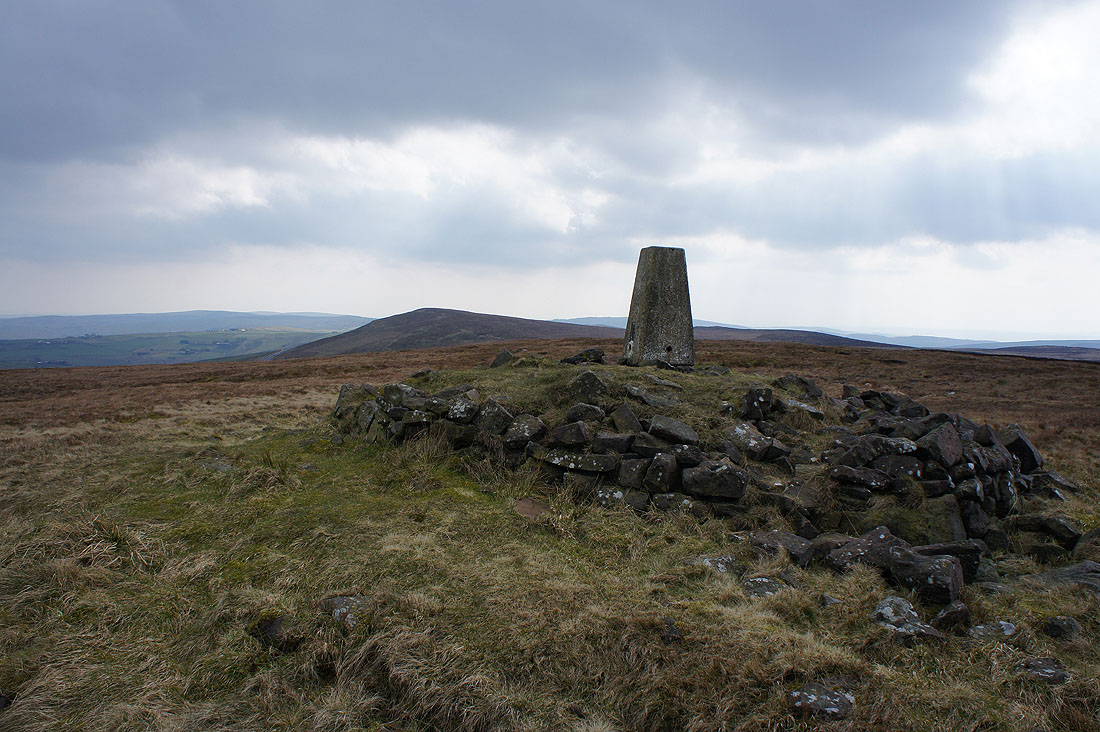
After a much needed break for lunch, a few photos of the view. The summit trig.
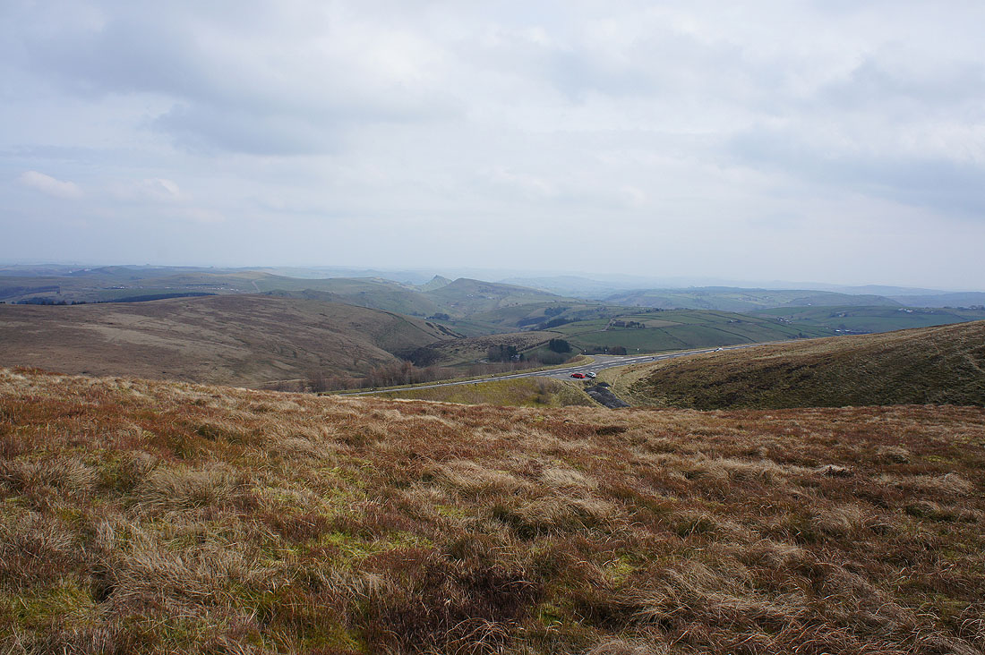
Shutlingsloe with the Cat & Fiddle road below
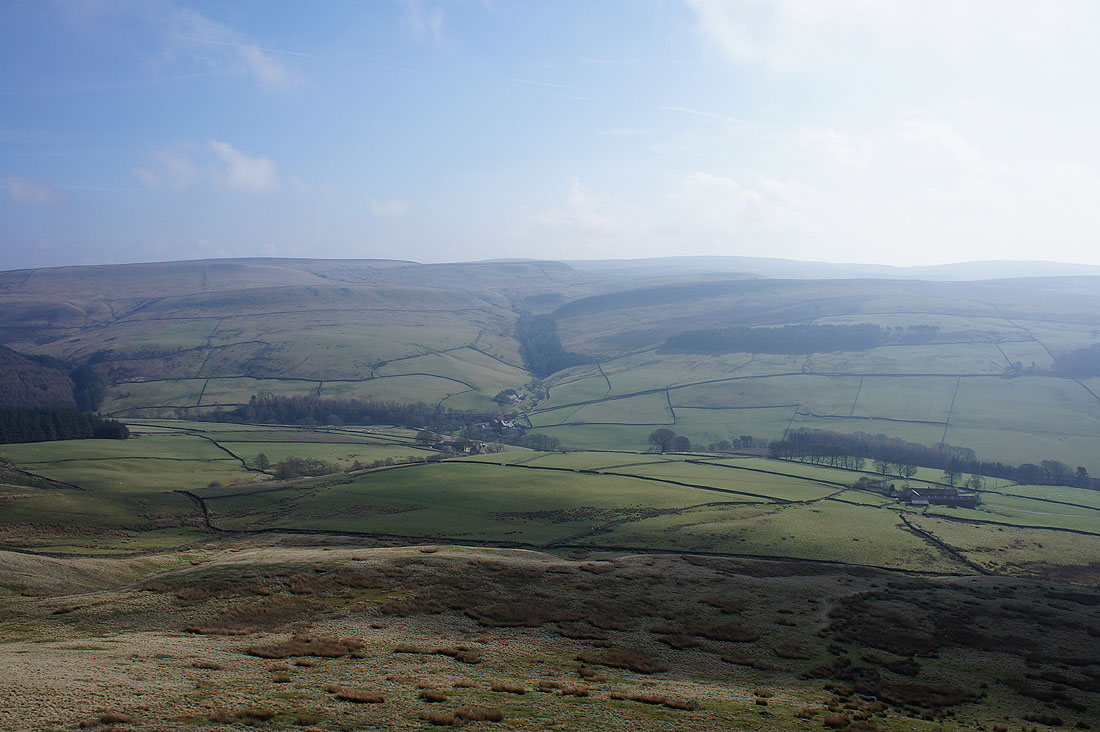
Looking north down the Todd Brook valley with Cats Tor on the right
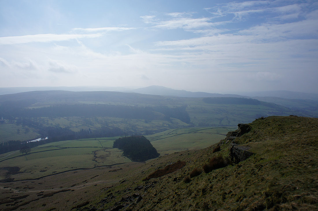
A hazy view to the northeast across the Goyt Valley
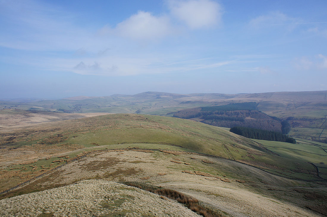
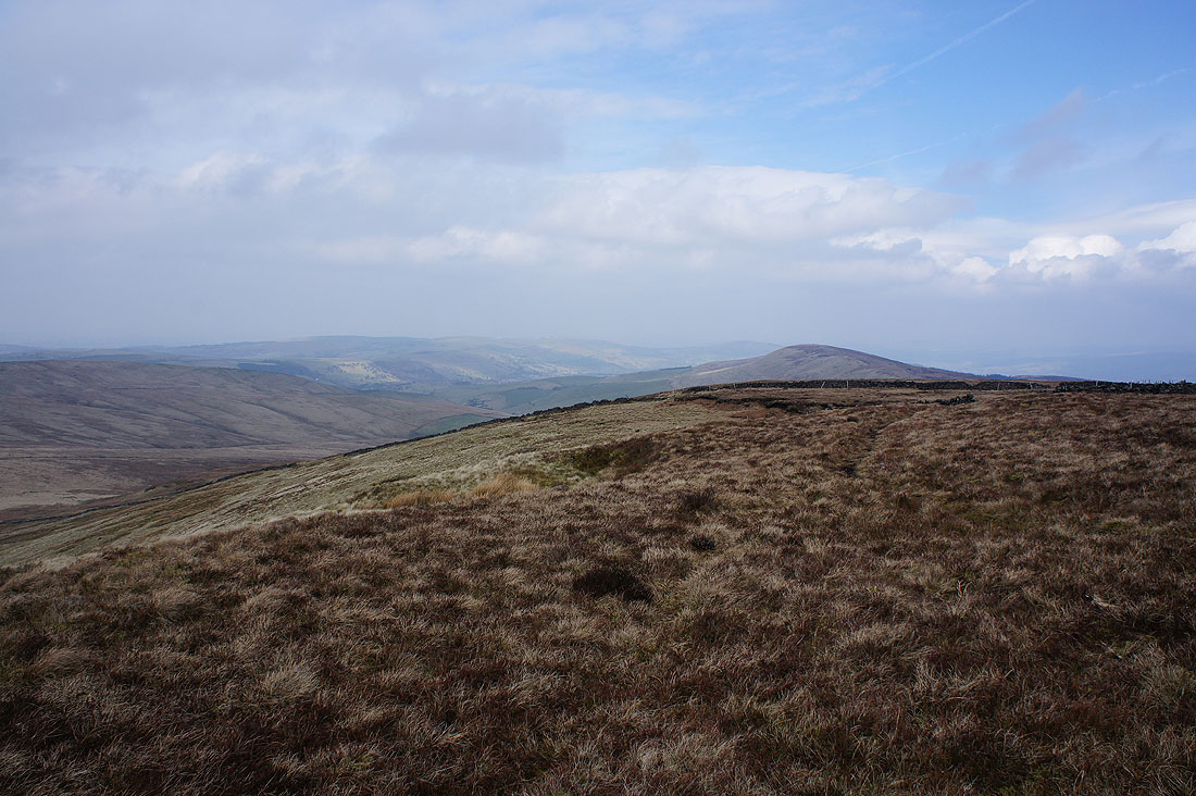
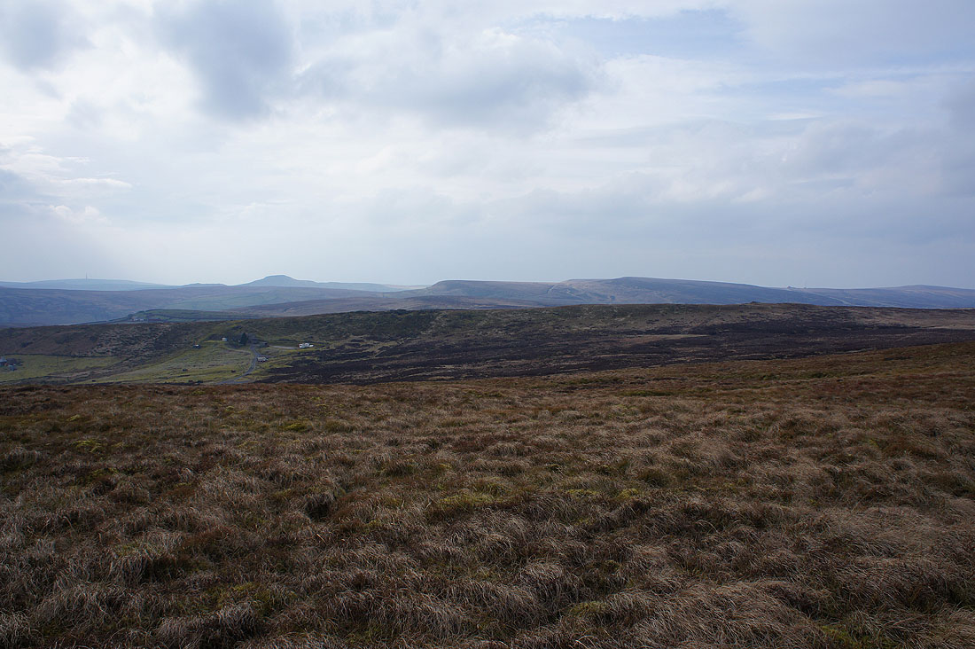
Axe Edge Moor in the distance. That looks further than Shining Tor did from Shutlingsloe.
After retracing my steps for a short while I take the path down into Stake Clough..
A glimpse of Errwood Reservoir
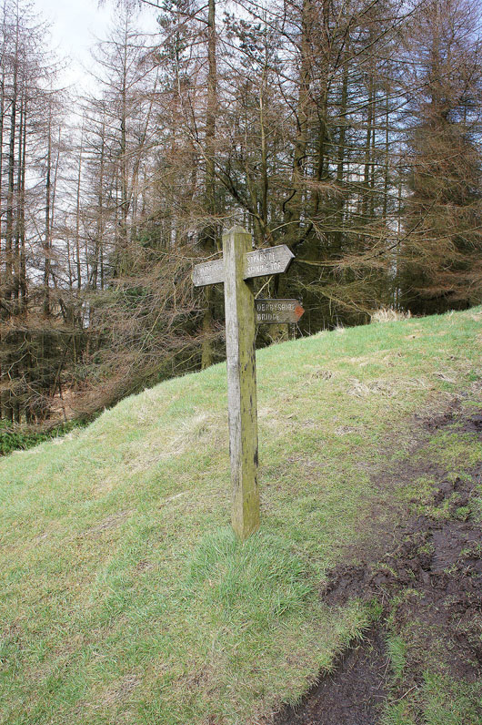
Derbyshire Bridge for me
The footpath brings me out to the road up through Goyt's Clough
and then my route takes me across a footbridge over the infant River Goyt
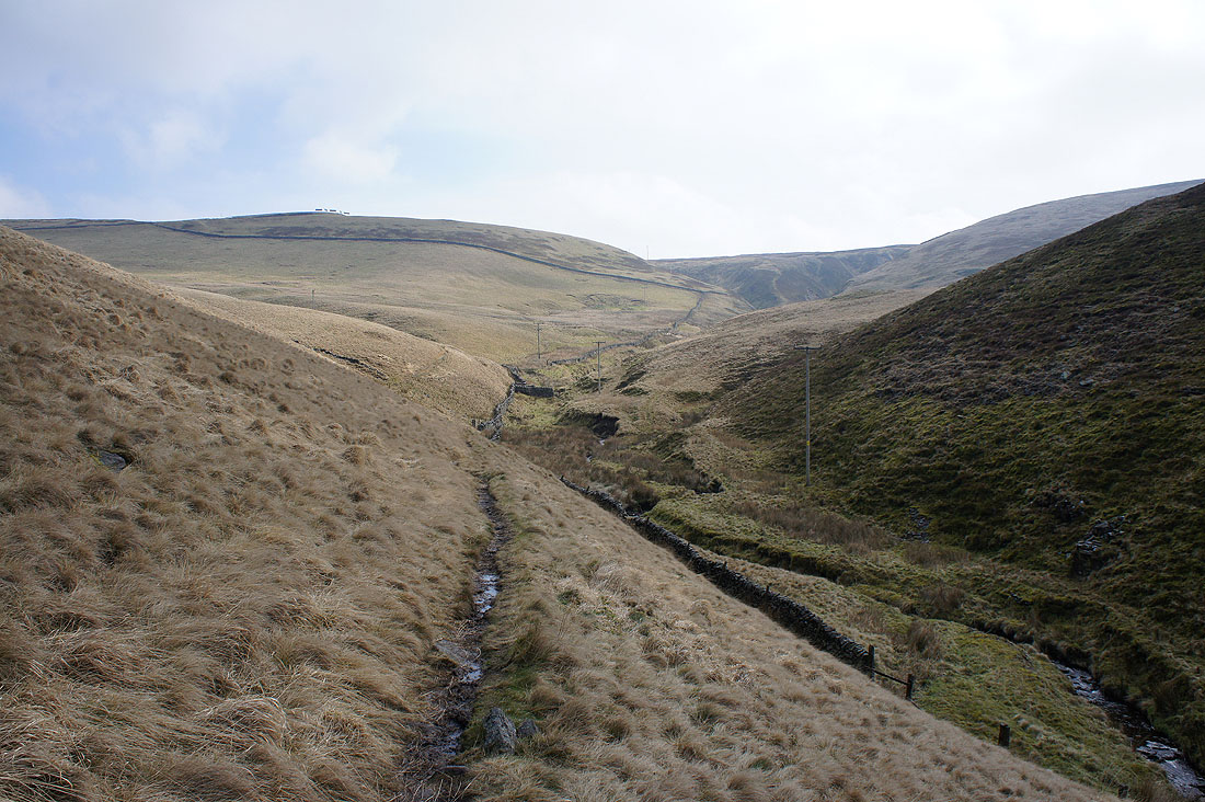
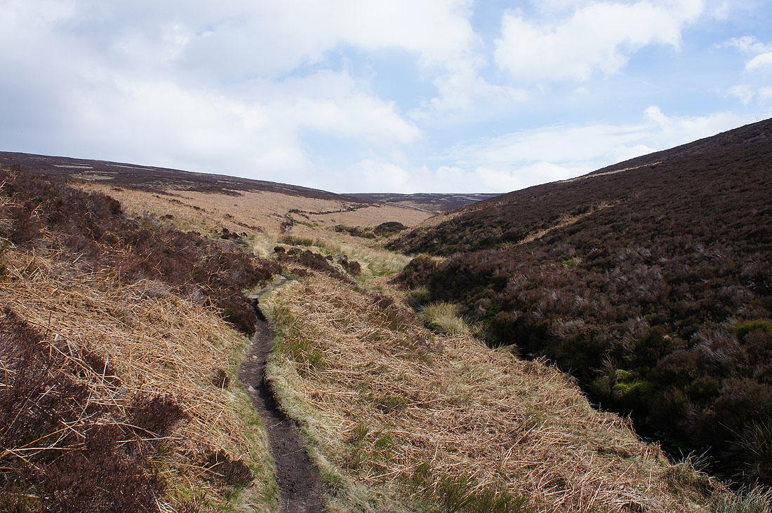
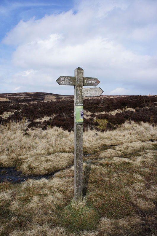
Heading up Berry Clough
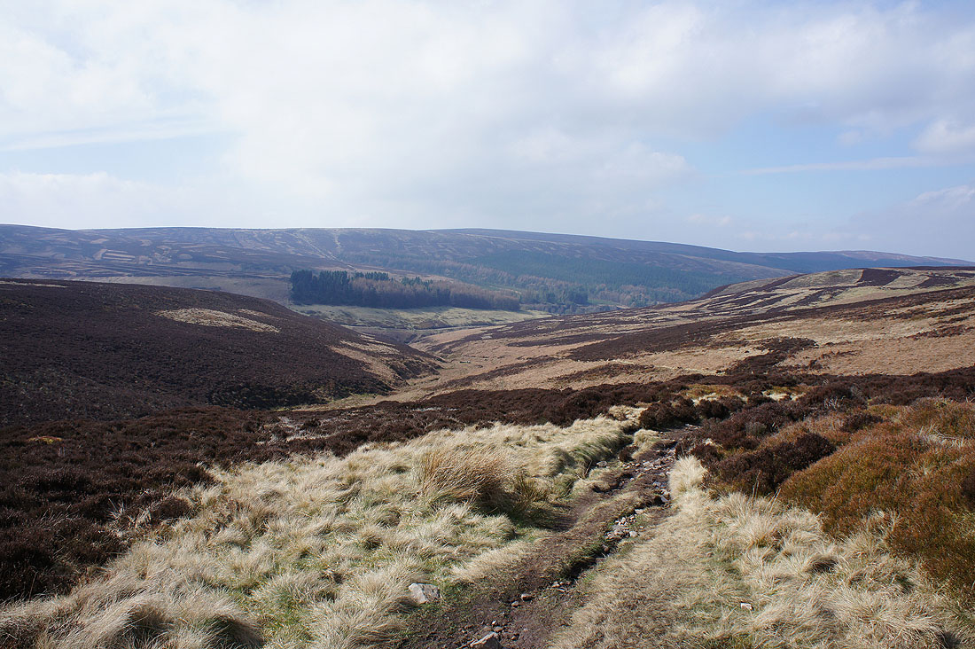
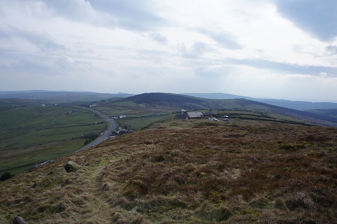
Looking back down Berry Clough. The top of Shining Tor is just visible above the wooded Stake Side.
Destination Axe Edge
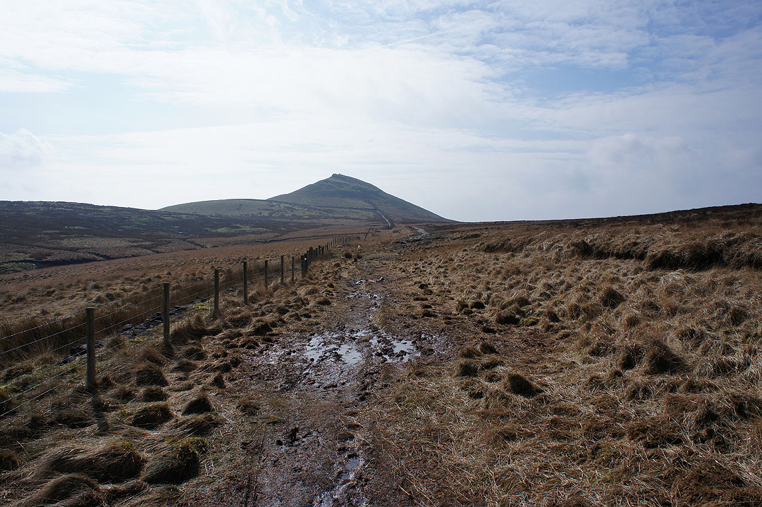
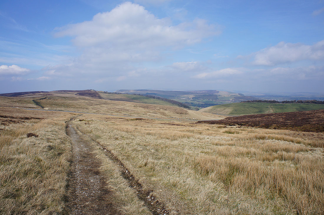
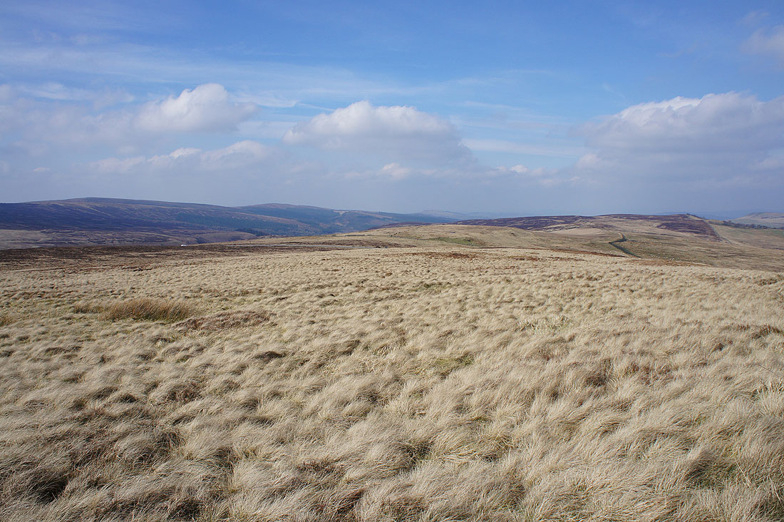
Heading south now to Axe Edge Moor. The trig point is on the highest hill on the left.
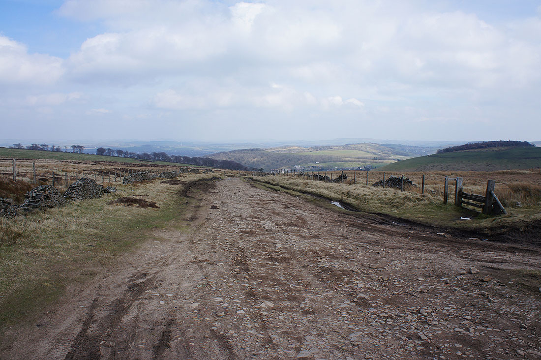
The footpath crosses this byway that heads from Derbyshire Bridge east down into Buxton
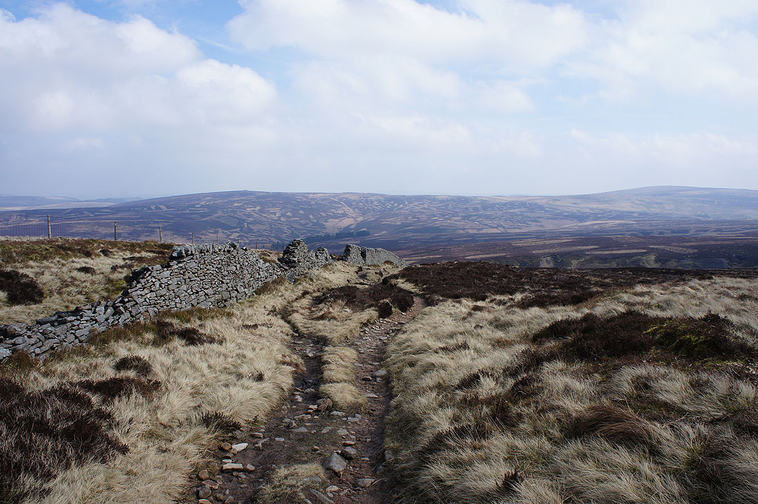
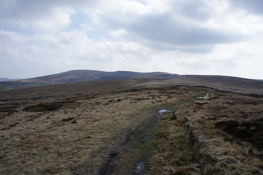
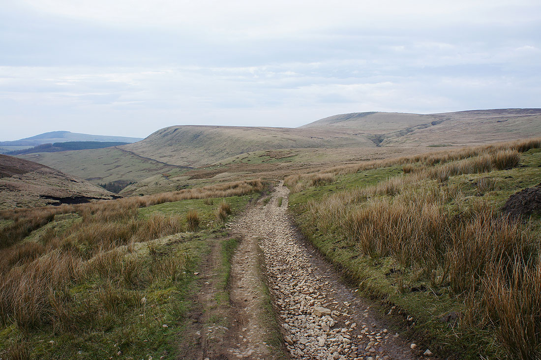
Across the A54 and on a track across Axe Edge Moor. Looking back north to Burbage Edge and Combs Moss.
Shining Tor and Cats Tor to the northwest
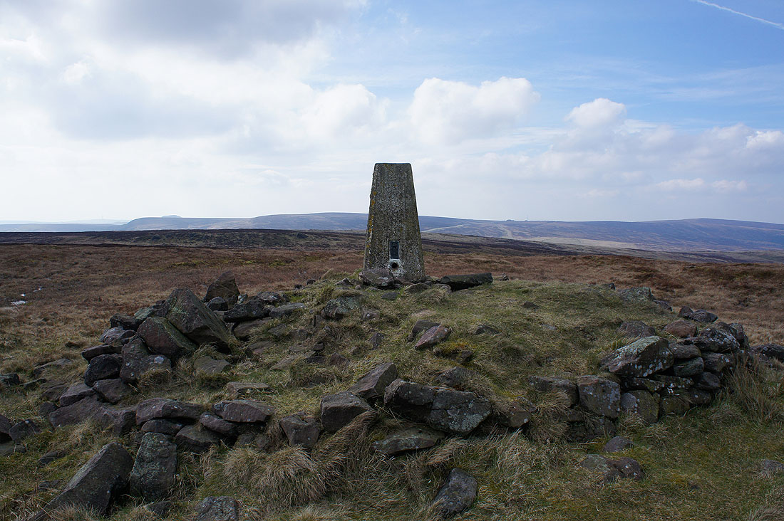
Finally at the trig point on Axe Edge Moor. There was a thin path across boggy ground to get here from the track.
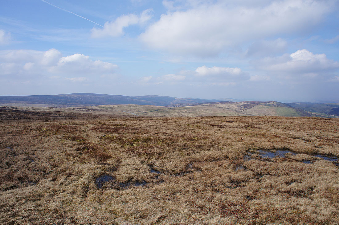
After a final break a few photos of the view. Shining Tor, Cats Tor and Burbage Edge to the northwest.
Combs Moss to the north with hints of Kinder Scout beyond
Axe Edge to the left of the trig point
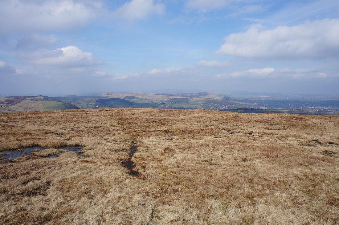
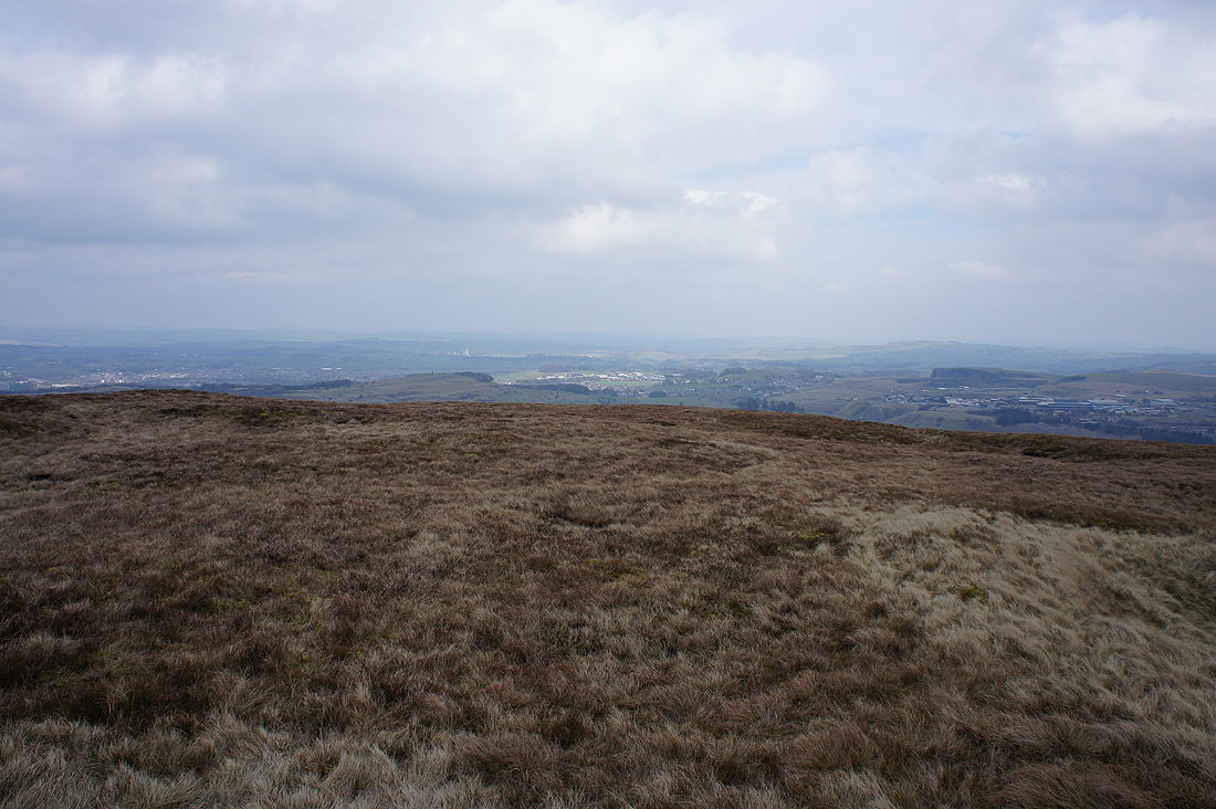
A murky view of Grin Low and Buxton
As I head south towards Axe Edge I get a good view of the hills around the head of the Dove valley, such as Chrome Hill and Hollins Hill
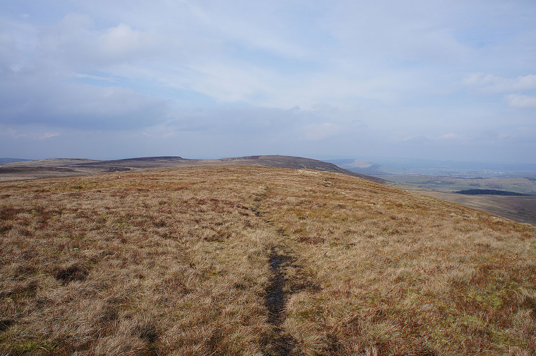
Looking back north to Axe Edge Moor from Axe Edge
Axe Edge Moor and Axe Edge are the most eastern of the western moors of the Dark Peak. To the east is the limestone country of the White Peak. The rivers Dove and Manifold have their sources on the slopes below.
Shutlingsloe and Dane Bower to the west
Heading down to Axe Edge End..
..and onto the bridleway below
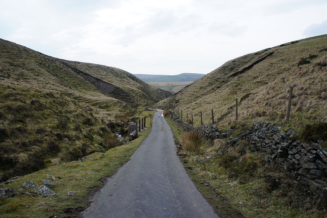
Quiet lanes have brought me to Black Clough
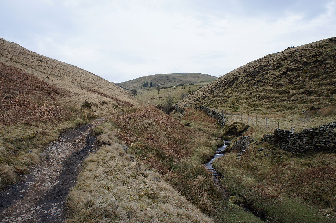
and a look back from the path to Three Shire Heads
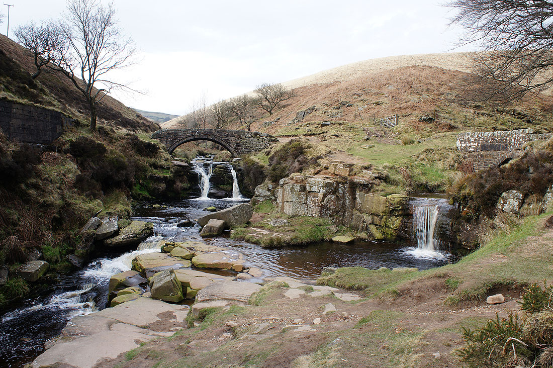
A deserted Panniers Pool at Three Shire Heads. My only previous time here was on 1st October 2011 on what turned out to be the warmest October day on record. As you can imagine it was a bit busy.
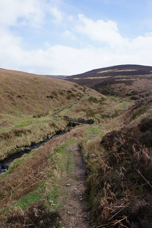
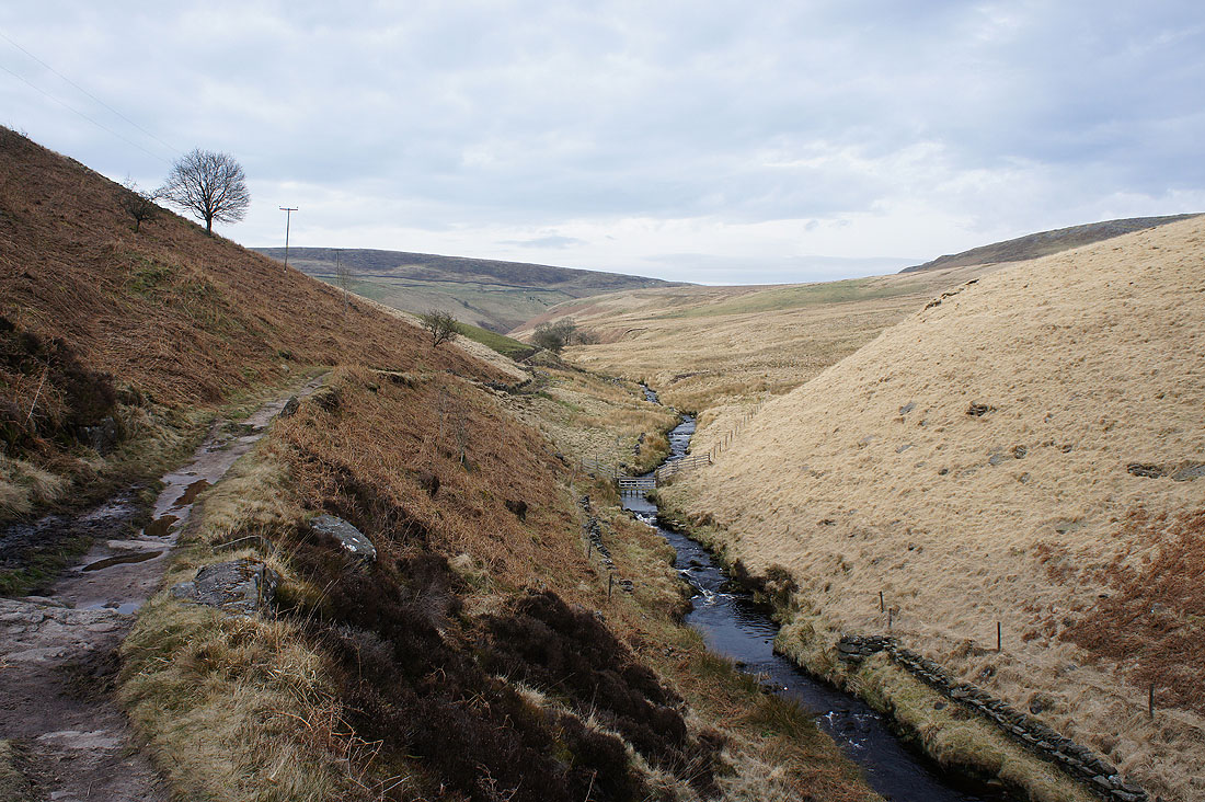
Briefly on the Dane Valley Way from Three Shire Heads towards the A54
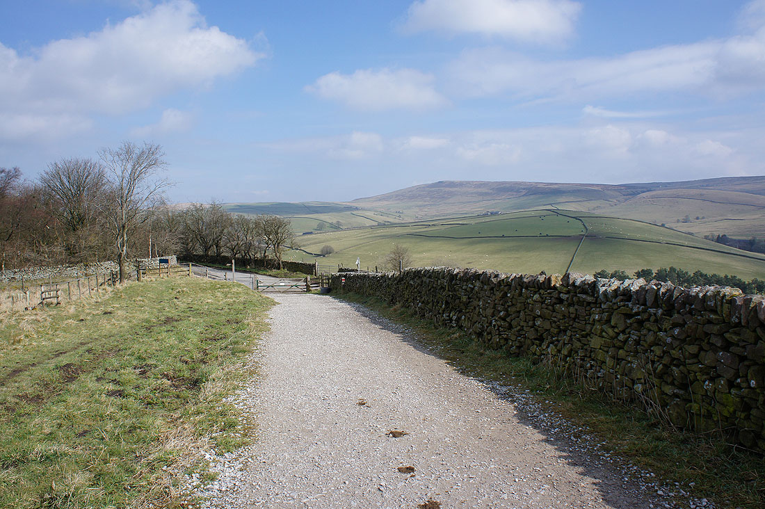
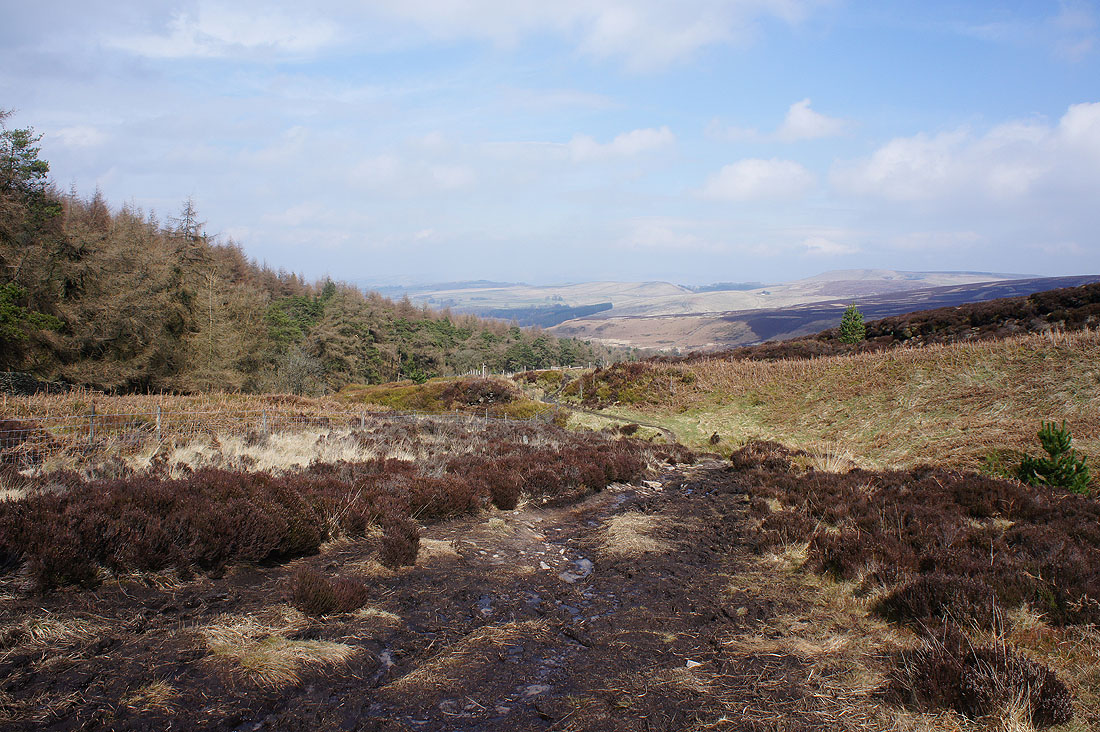
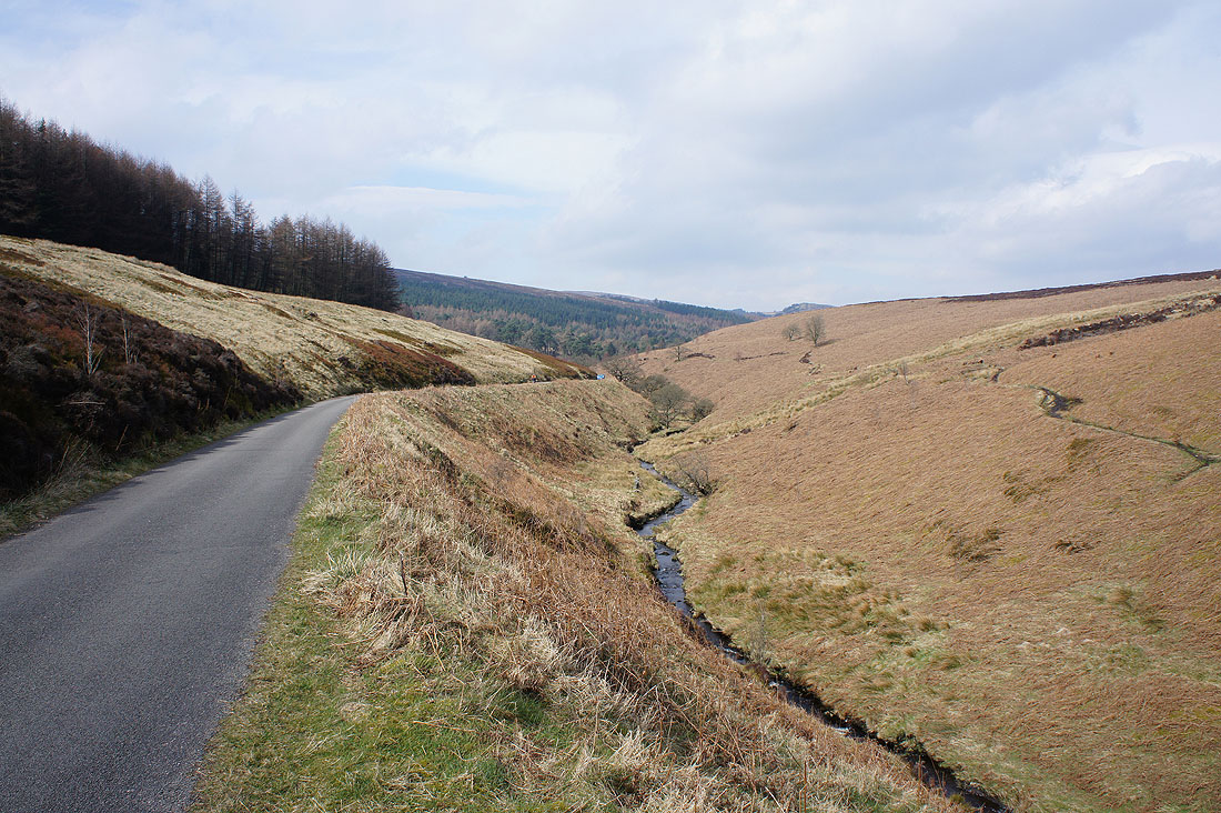
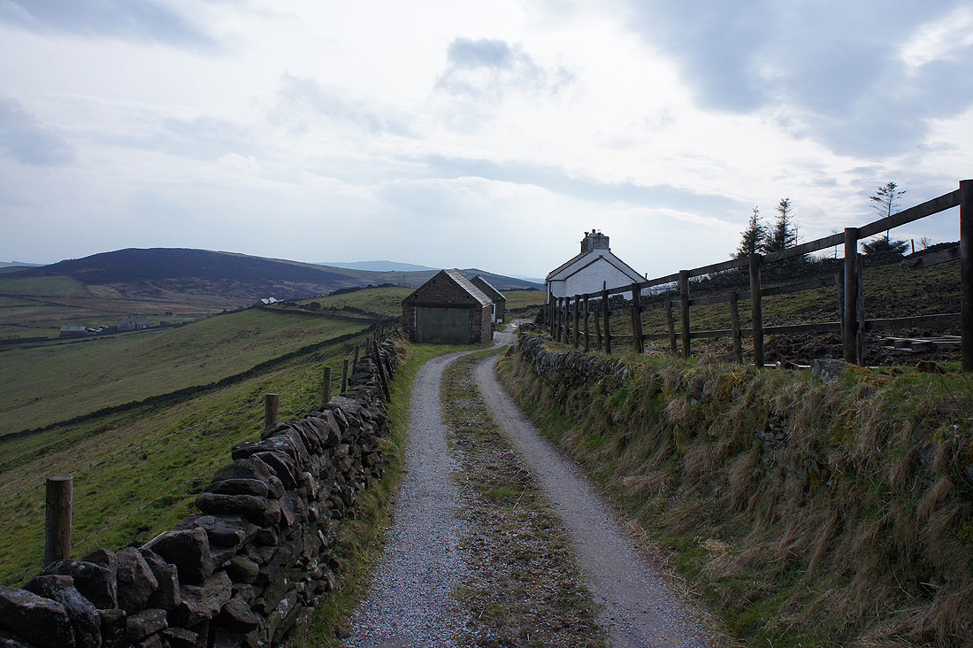
On the home straight. After crossing the A54 I'm on the bridleway to Cumberland Clough.
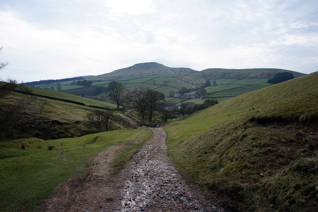
Shutlingsloe ahead as I approach Clough House at the bottom of Cumberland Clough. The end is in sight.
