3rd August 2019 - Boulsworth Hill
Walk Details
Distance walked: 12.0 miles
Total ascent: 2172 ft
OS map used: OL21 - South Pennines
Time taken: 7.5 hrs
Route description: Picnic site on Halifax Road-Thursden Valley-Pennine Bridleway-Gorple Gate-Cludders Slack-Widdop Reservoir-Pennine Bridleway-Slack Stones-The Scout-Grey Stone Hill-Dove Stones-Boulsworth Hill-Pennine Bridleway-Pendle Way-Upper Coldwell Reservoir-Pendle Way-Pennine Bridleway-Picnic site on Halifax Road
I decided to stay local for my walk this weekend after coming up with this route that would explore some new ground in the South Pennines, as well as revisiting some places that I've not been to for several years. The new bits were the Pennine Bridleway sections south across Extwistle Moor from the picnic site on Halifax Road and then south again after the descent from Boulsworth Hill. I was familiar with the rest of the route from several different walks done over the years, although I don't remember the struggle with bracken and heather that I had getting onto Slack Stones and The Scout above Widdop Reservoir. There was plenty of sunshine to enjoy during the morning as I was following the Pennine Bridleway, and into the early afternoon when I was around Widdop Reservoir, one of my favourite locations in the South Pennines with plenty of gritstone crags to clamber around on, but from then on it clouded over and it threatened showers. Fortunately, nothing really came from them, at least where I was.
After parking at the picnic site on Halifax Road above Brierfield I took the footpath down to the road below in the Thursden Valley, then walked down this road to the ford over Thursden Brook and up to the junction above, where I took the Pennine Bridleway on the right. I then followed the Pennine Bridleway south across Extwistle Moor to the track of Gorple Road, where I turned left and followed this track east up and over the moor to above Widdop Reservoir. I left the track here for a thin path along the top of the gritstone edge of Cludders Slack, before heading down to join the track again to cross the dam of Widdop Reservoir to reach the Widdop Road. After a short walk down the road I left it for access land on the left and a bit of pathless heather bashing to reach Slack Stones, from where I then followed the edge of the moor uphill. A thin path emerged as I continued to make my way up the gritstone edge of The Scout to the top of Grey Stone Hill. I then made my way across Widdop Moor to Dove Stones and from there up to the summit of Boulsworth Hill. From Boulsworth Hill I descended by the path past the Abbot Stone to the Pennine Bridleway below, where I turned left and followed it west across Will Moor. After using the Pendle Way to do a "there and back" to Upper Coldwell Reservoir I continued south along the Pennine Bridleway until I reached the road down into the Thursden Valley. I turned right here and walked along the road to its junction with Halifax Road, where I turned left to leave a short walk along this road back to the picnic site.
Route map
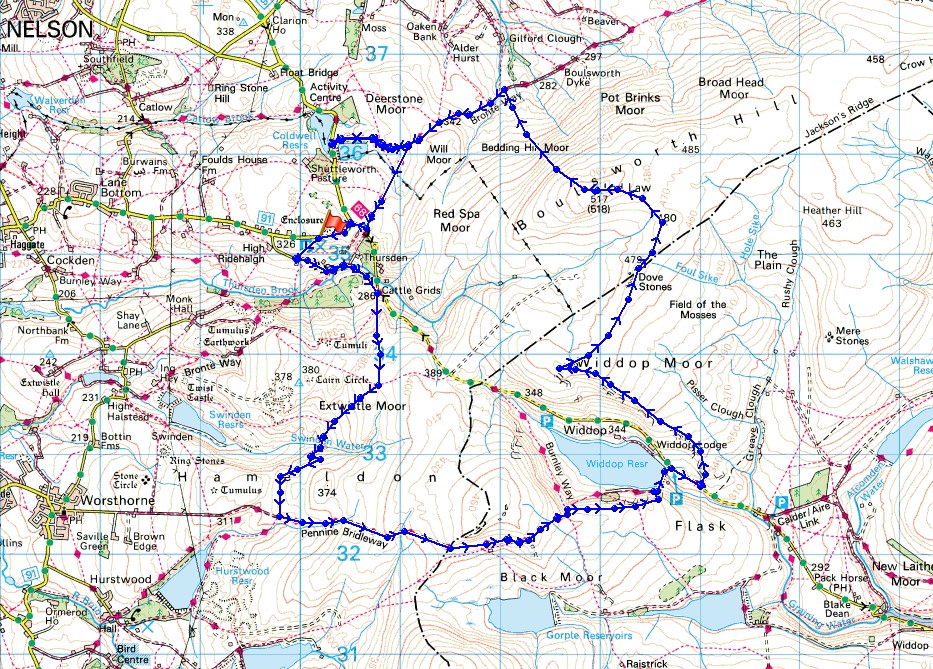
© Crown copyright. All rights reserved. License number PU 100034184.
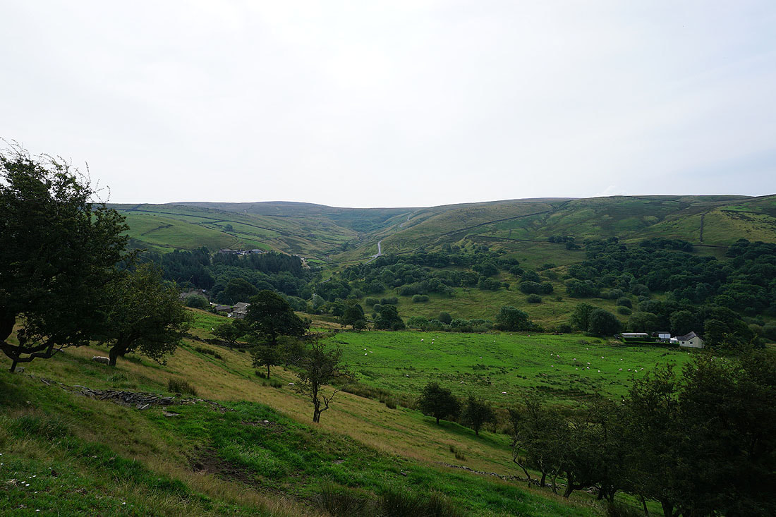
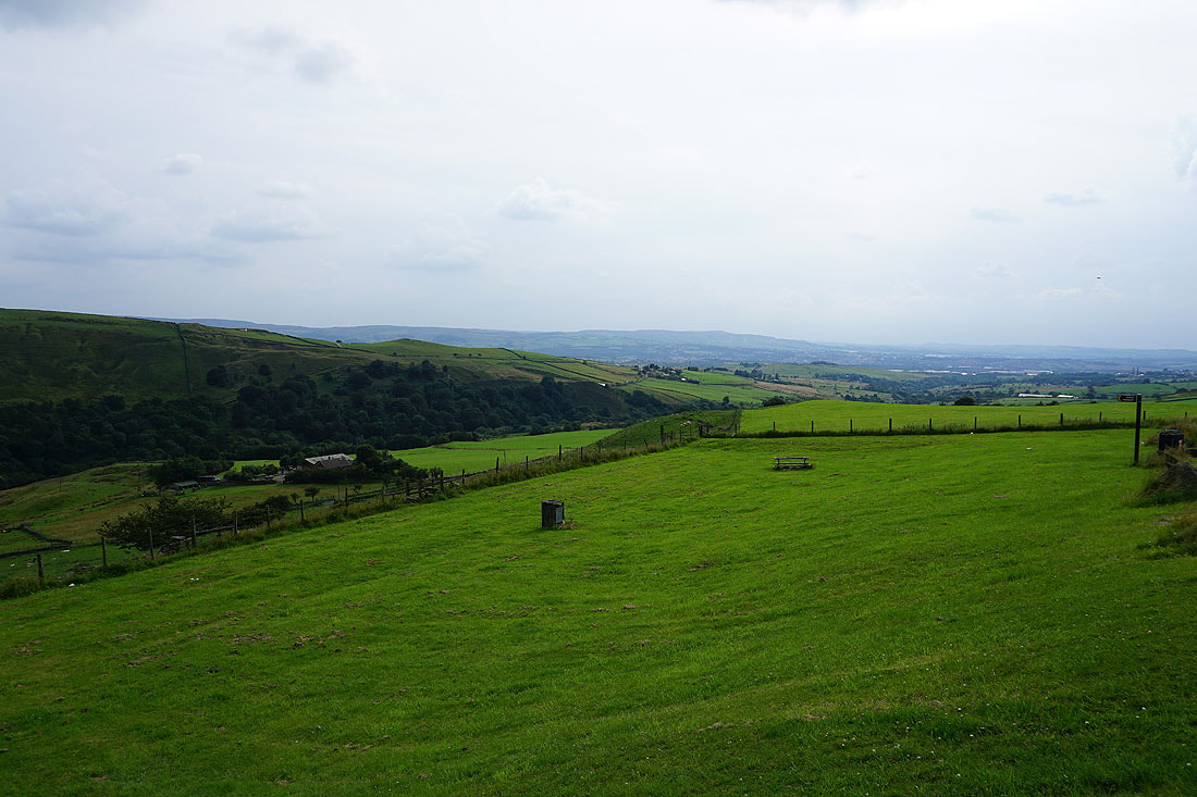
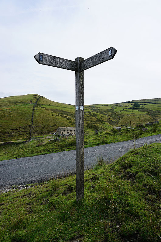
Looking across Thursden Valley to the road over the moors to Hebden Dale from the picnic site by Halifax Road
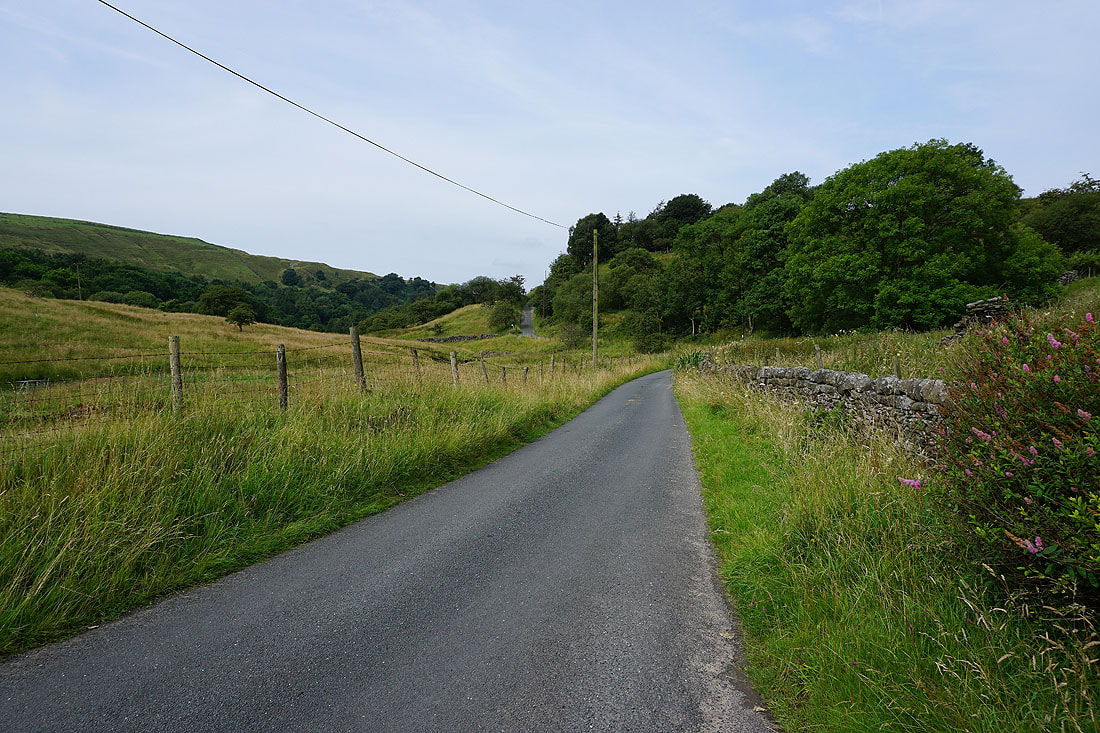
On the road through Thursden Valley
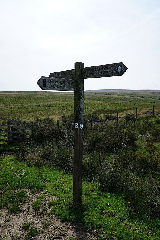
After a short walk up the road to Hebden Dale I take the Pennine Bridleway up Rieve Edge
Looking back across Thursden Valley as I climb the bridleway up Rieve Edge
Pendle Hill to the northwest
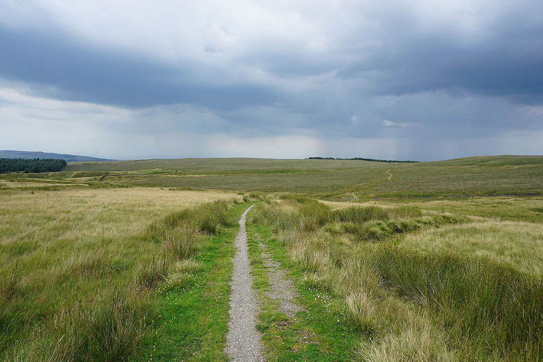
Heading south onto Extwistle Moor
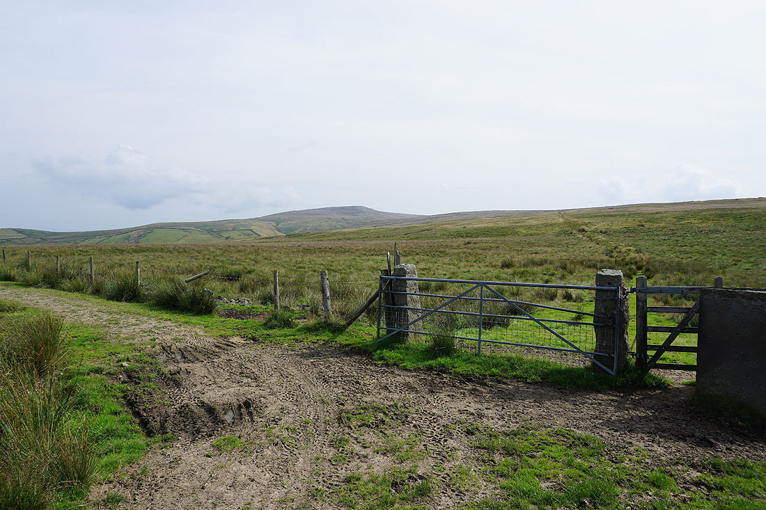
The southern end of Boulsworth Hill from Extwistle Moor
The Pennine Bridleway changes direction and heads down into the valley of Swinden Water
Pendle Hill and Weets Hill
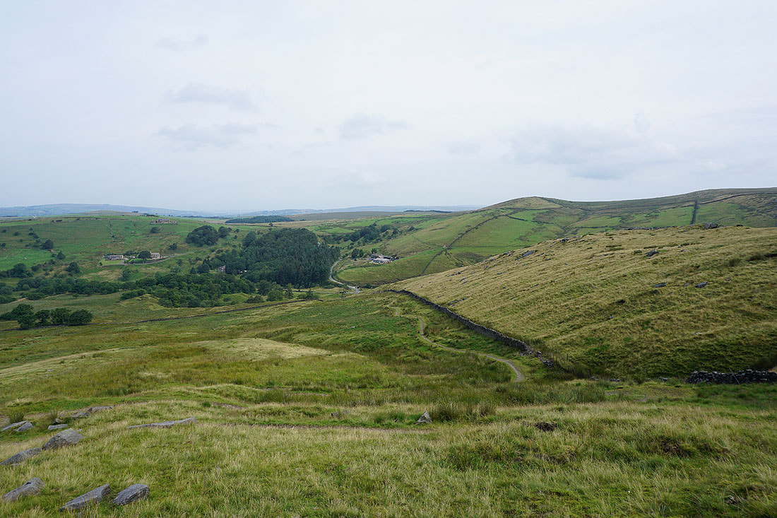
Heading down to Swinden Water. The patch of water is Hurstwood Reservoir.
Swinden Water
Swinden Reservoir and Pendle Hill with the evidence of former quarrying on the side of Delf Hill
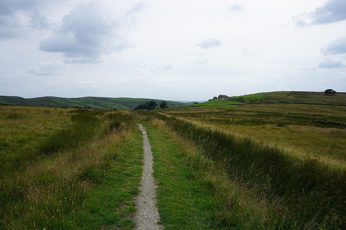
Following the Pennine Bridleway towards Hurstwood with Thieveley Pike in the distance
Looking back to Pendle Hill and Delf Hill
Hurstwood Reservoir with the track of Gorple Road crossing Wasnop Edge
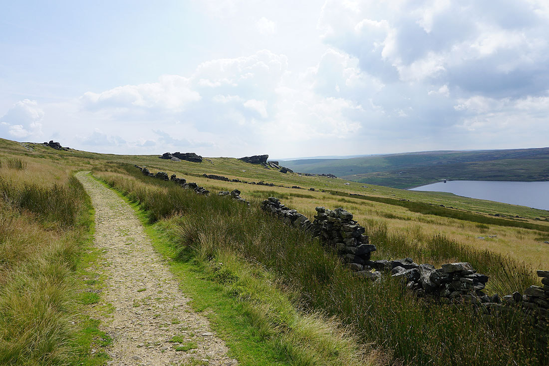
I join the track of Gorple Road, still part of the Pennine Bridleway, and follow it east towards Widdop Reservoir
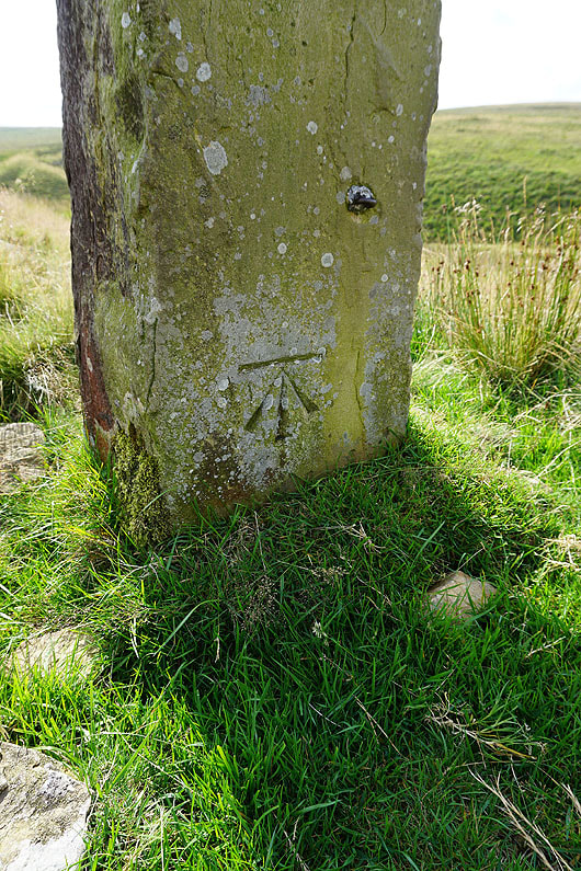
OS benchmark on an old gatepost
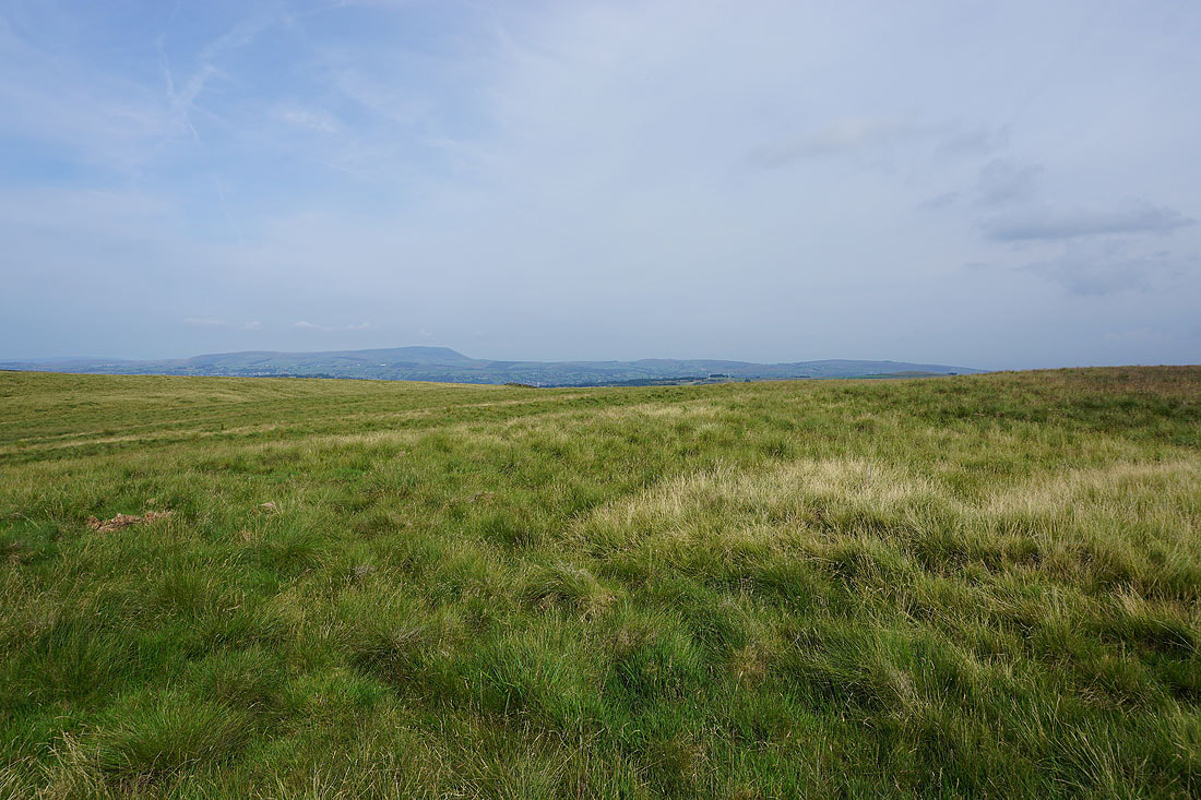
Looking back to Burnley and Pendle Hill
Thieveley Pike and Hameldon Hill in the distance
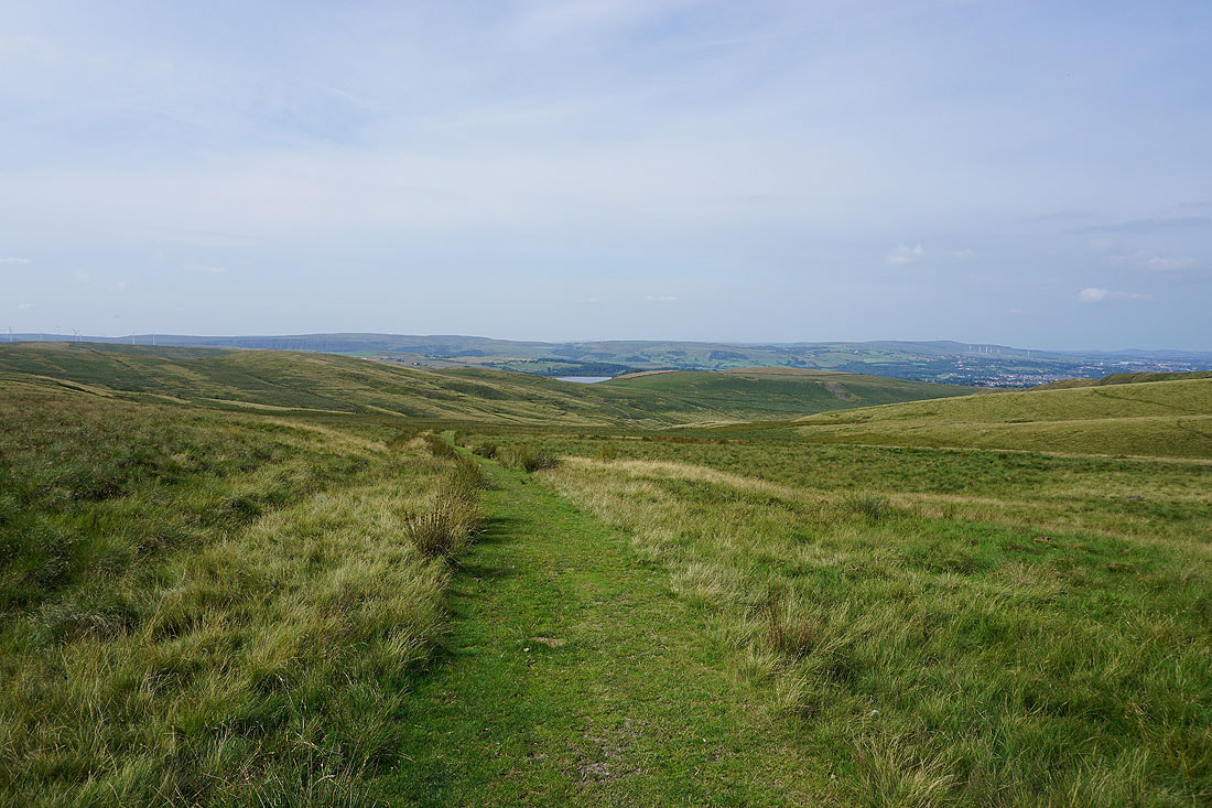
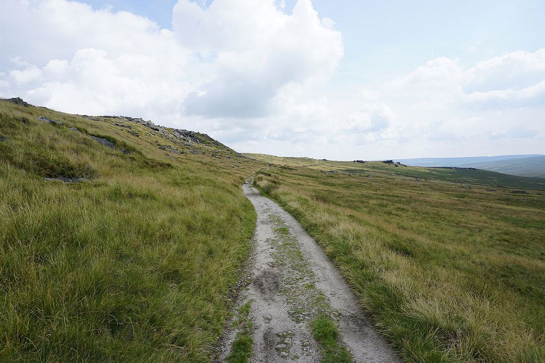
Nearing the top of the bridleway
Cant Clough Reservoir below
As I reach the top of the bridleway I pass the Gorple Stones with Gorple Upper Reservoir below...
Wadsworth Moor, Gorple Lower Reservoir and Standing Stone Hill
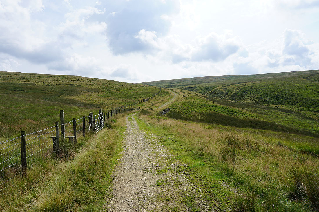
The Pennine Bridleway takes a left turn and heads down to Widdop Reservoir
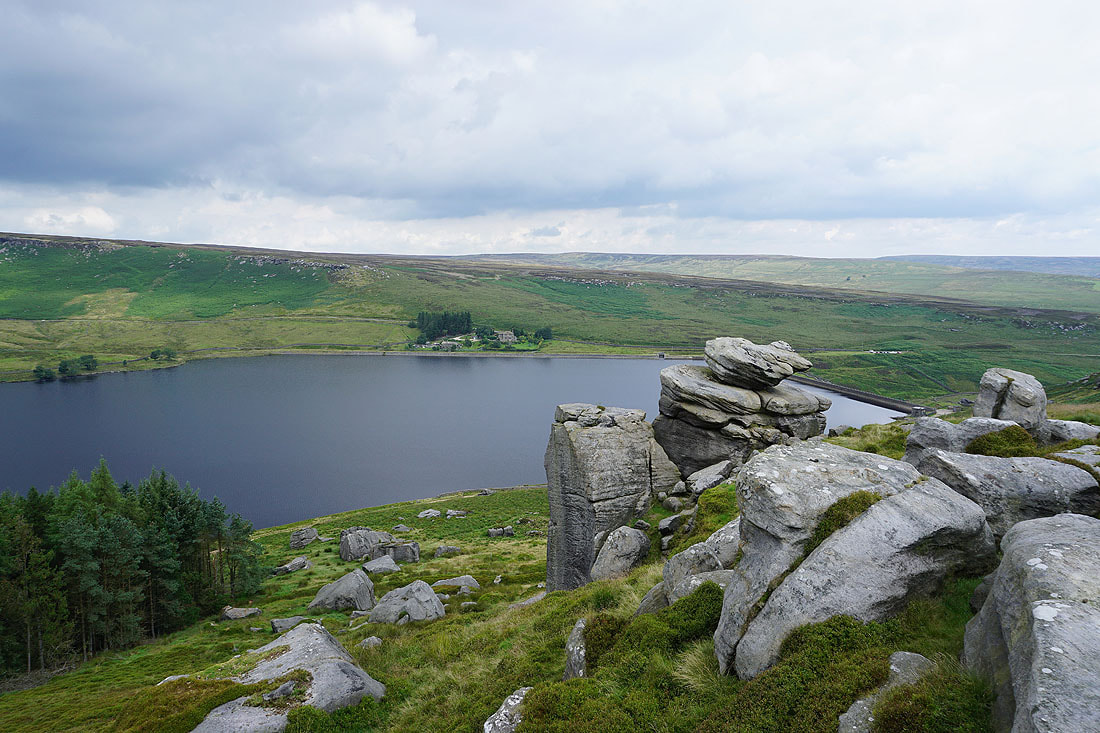
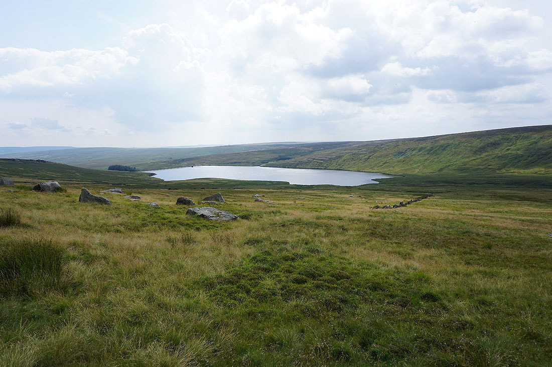
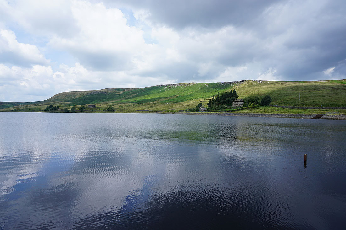
I've left the bridleway for the gritstone crags of Cludders Slack. Looking across Widdop Reservoir to Widdop Lodge.
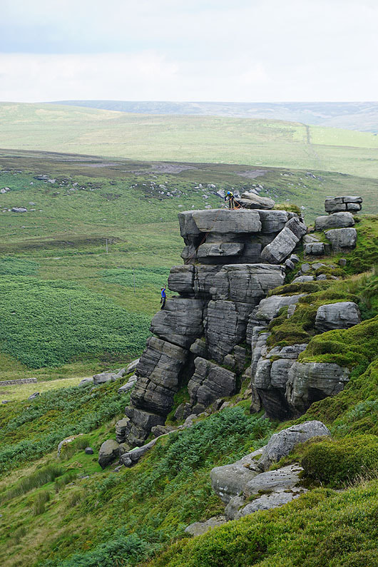
Climbers tackle the largest of the crags
Cludders Slack and Widdop Reservoir
Cludders Slack
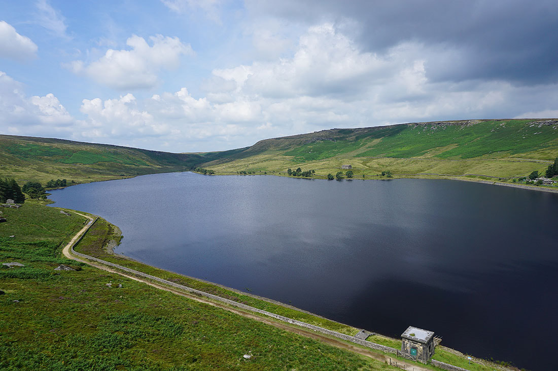
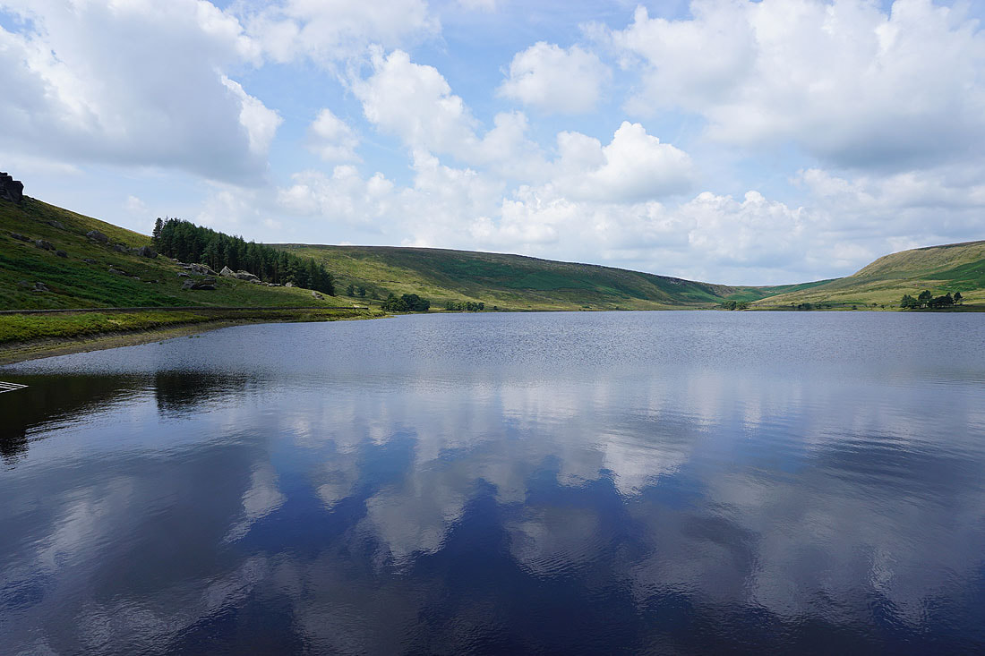
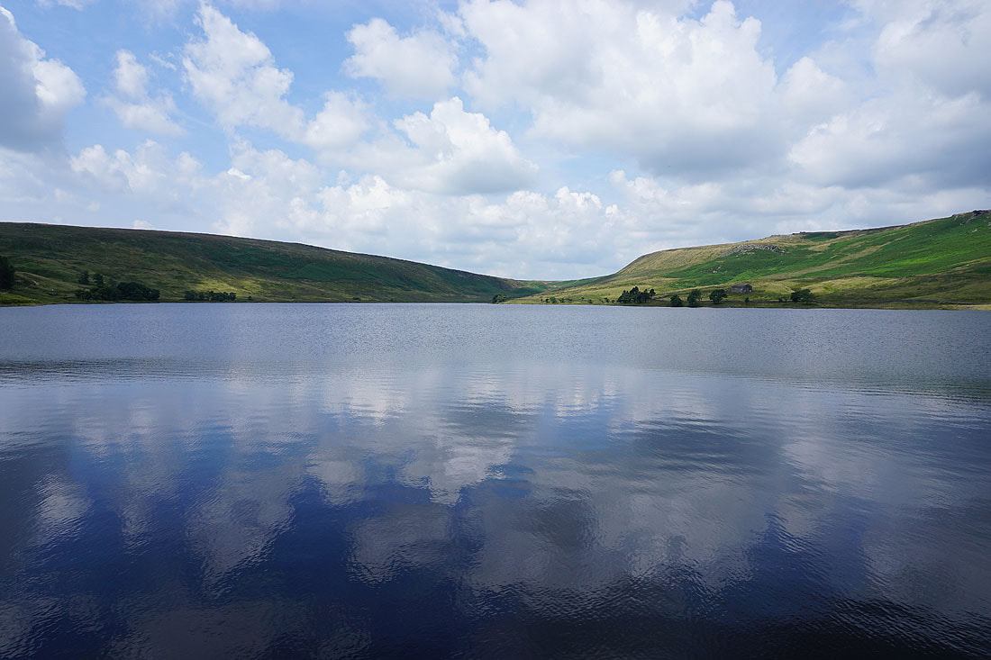
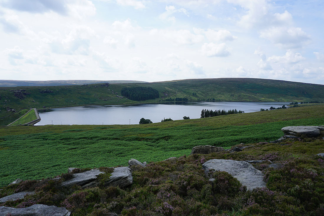
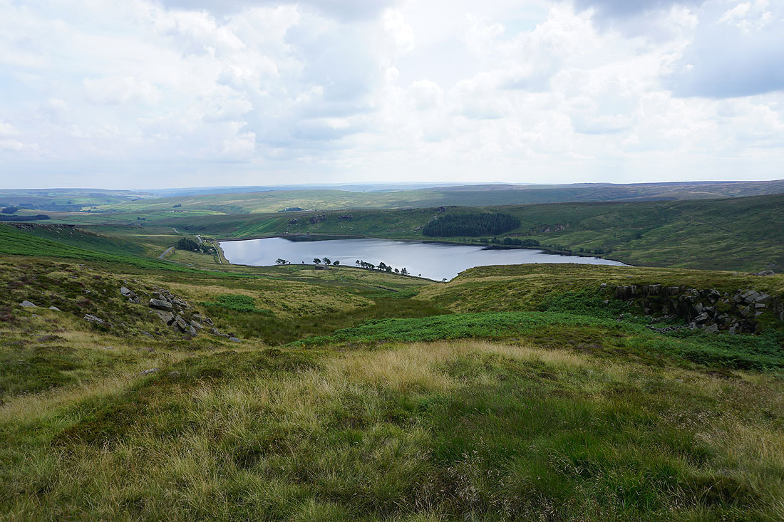
Looking across Widdop Reservoir to Great Edge and The Scout, which is where I'll be heading to next
Reflections in Widdop Reservoir as I cross its dam...
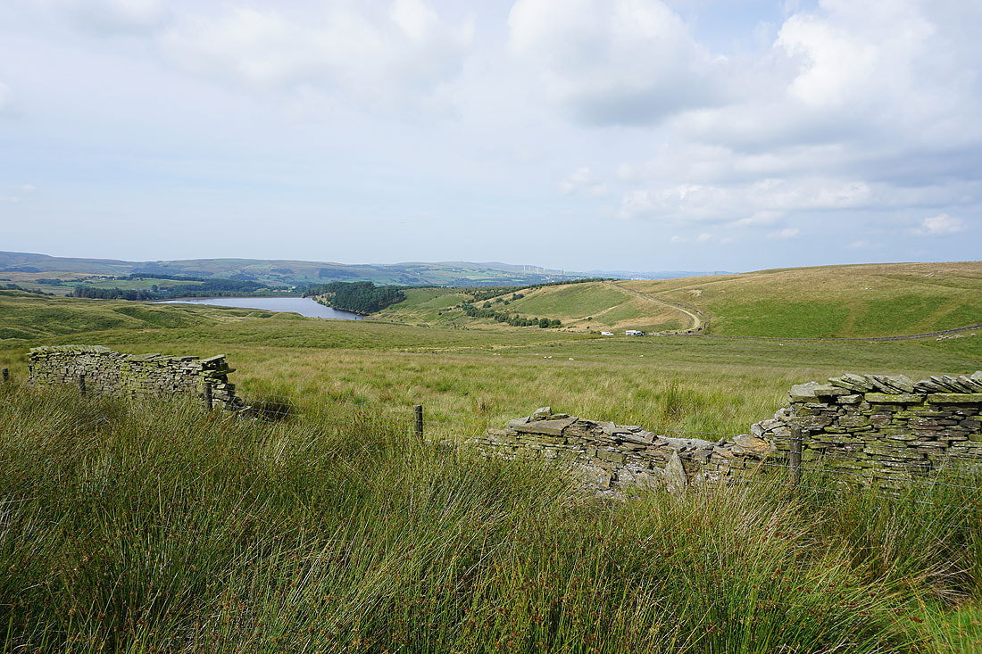
Cludders Slack and Widdop Reservoir from Slack Stones. Getting to here from the road past Widdop Reservoir involved a bit of pathless heather bashing.
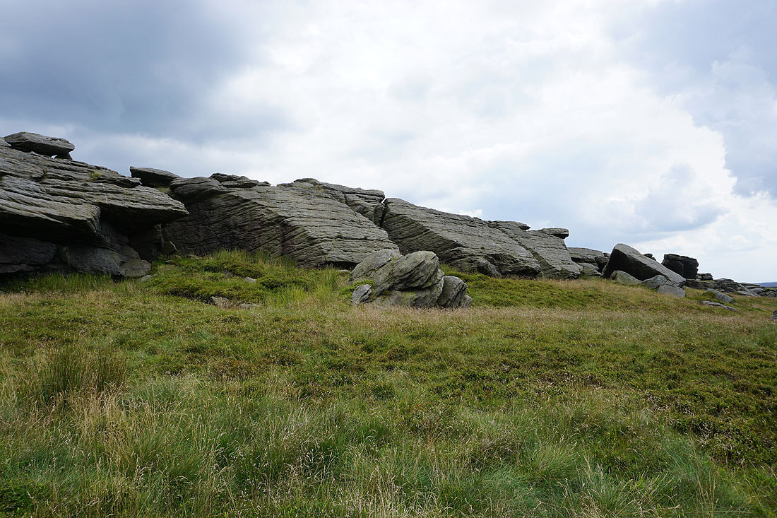
Looking up the gritstone edge of The Scout
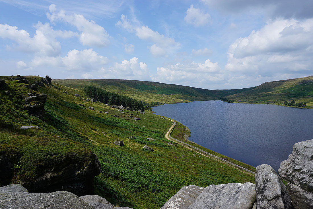
Cludders Slack and Widdop Reservoir from The Scout. There's a bit of a path to follow along the edge here.
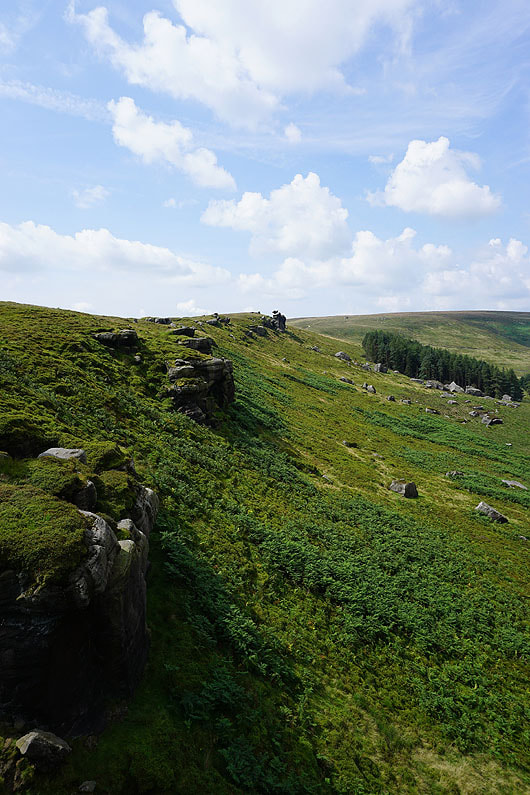
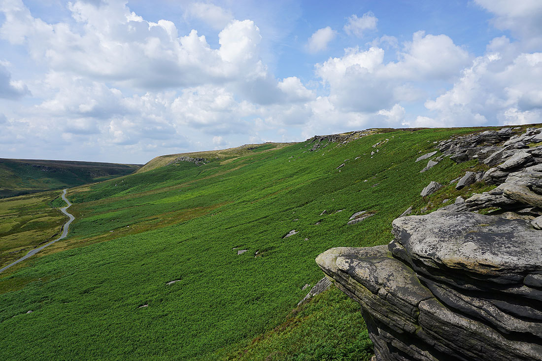
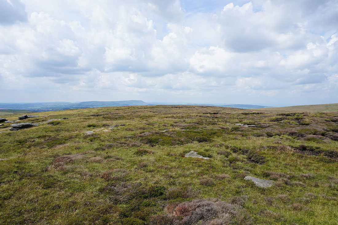
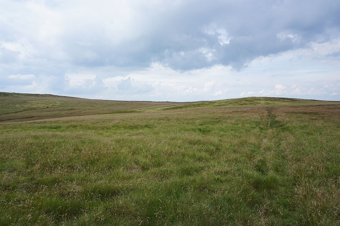
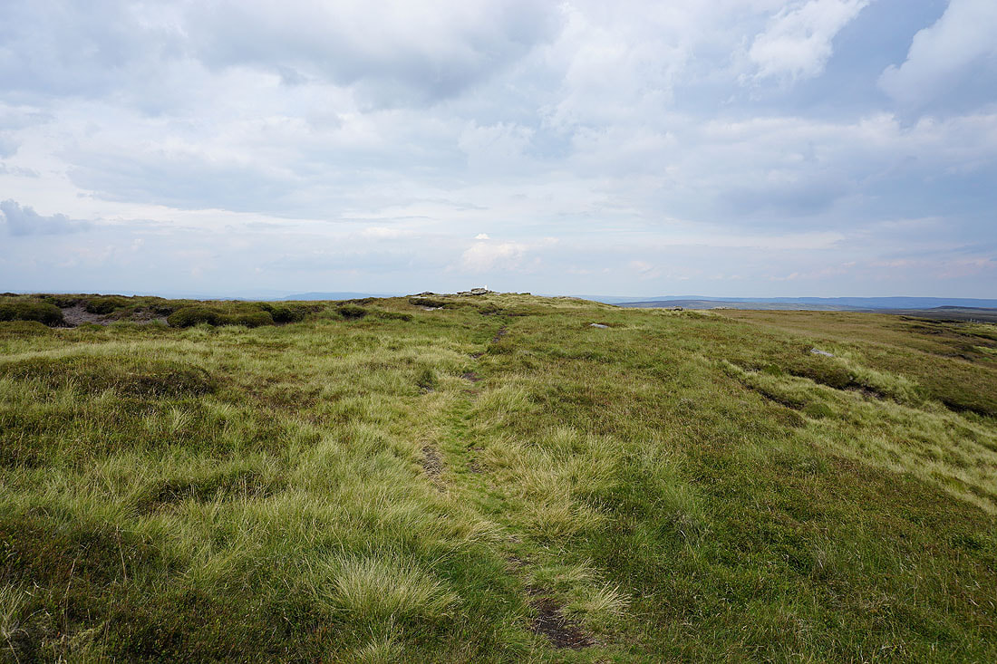
Approaching the top of Grey Stone Hill
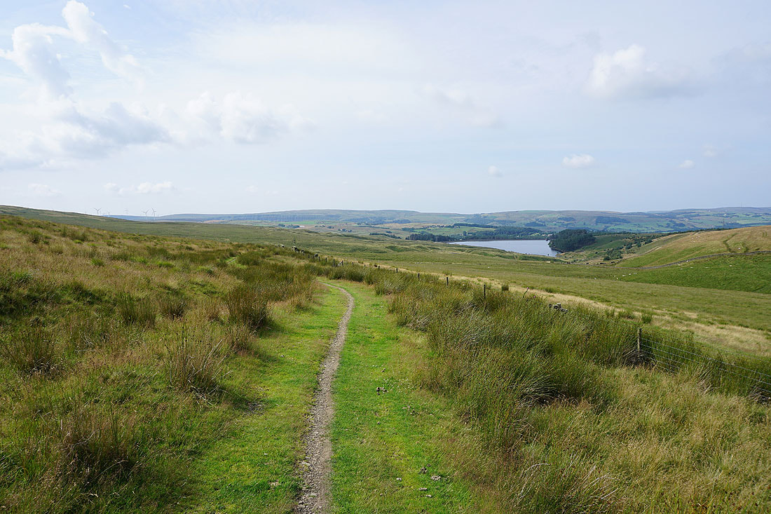
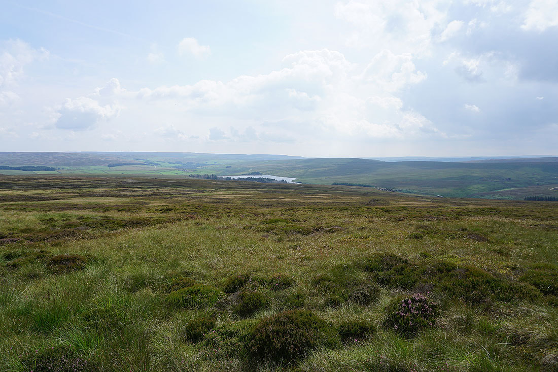
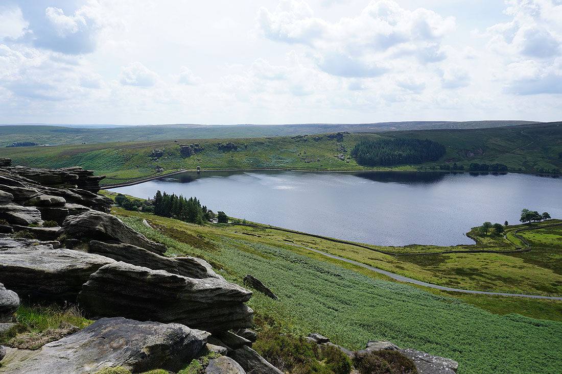
Widdop Reservoir from Grey Stone Hill with the moors around Calderdale beyond
Pendle Hill from the top of Grey Stone Hill
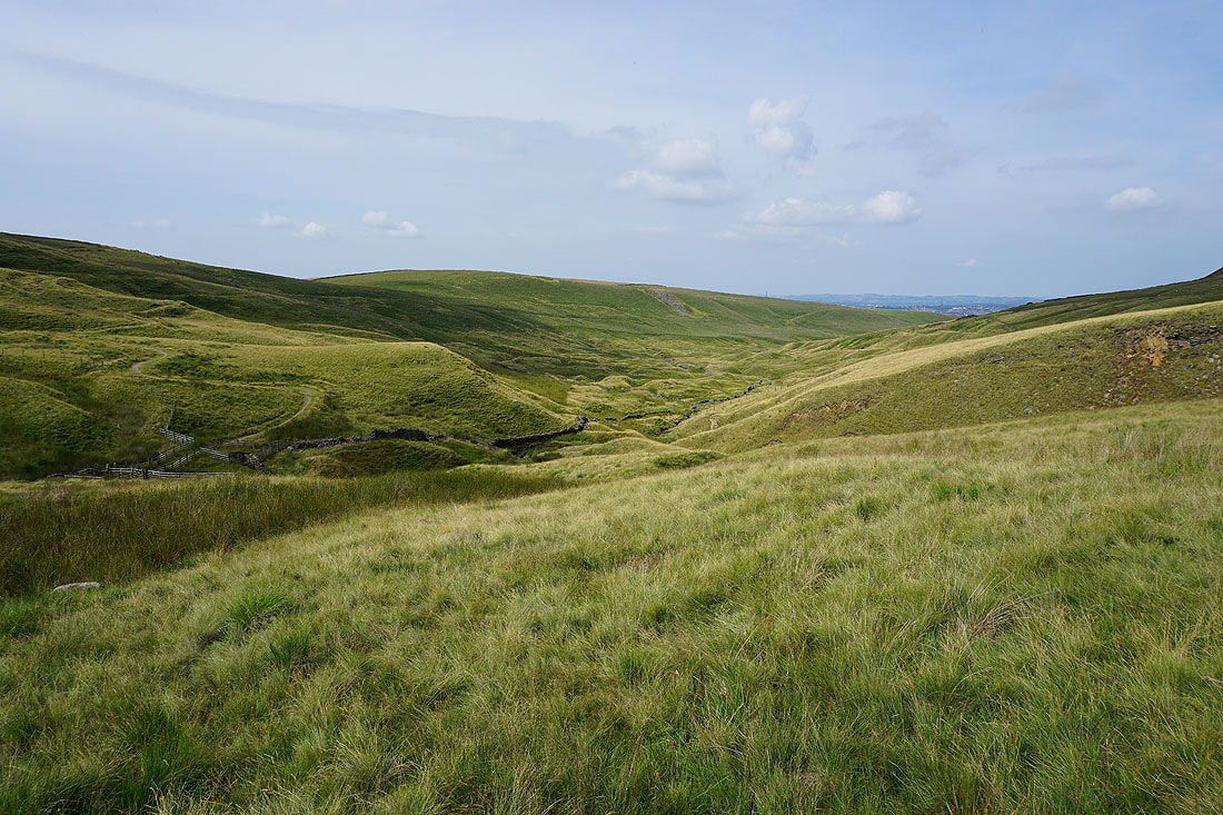
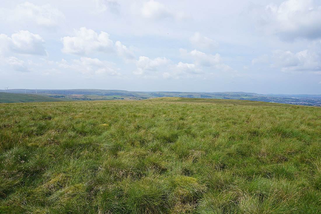
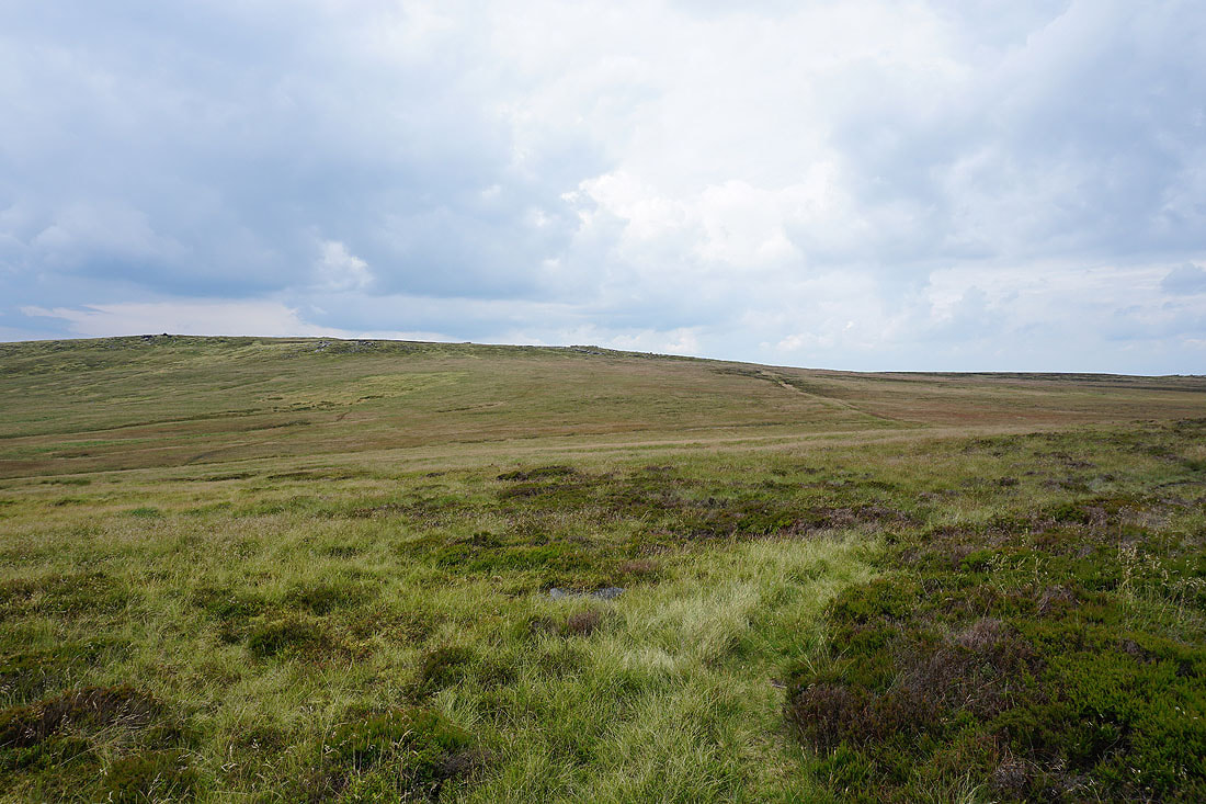
and Boulsworth Hill and Dove Stones
On Dove Stones with Boulsworth Hill up on the left
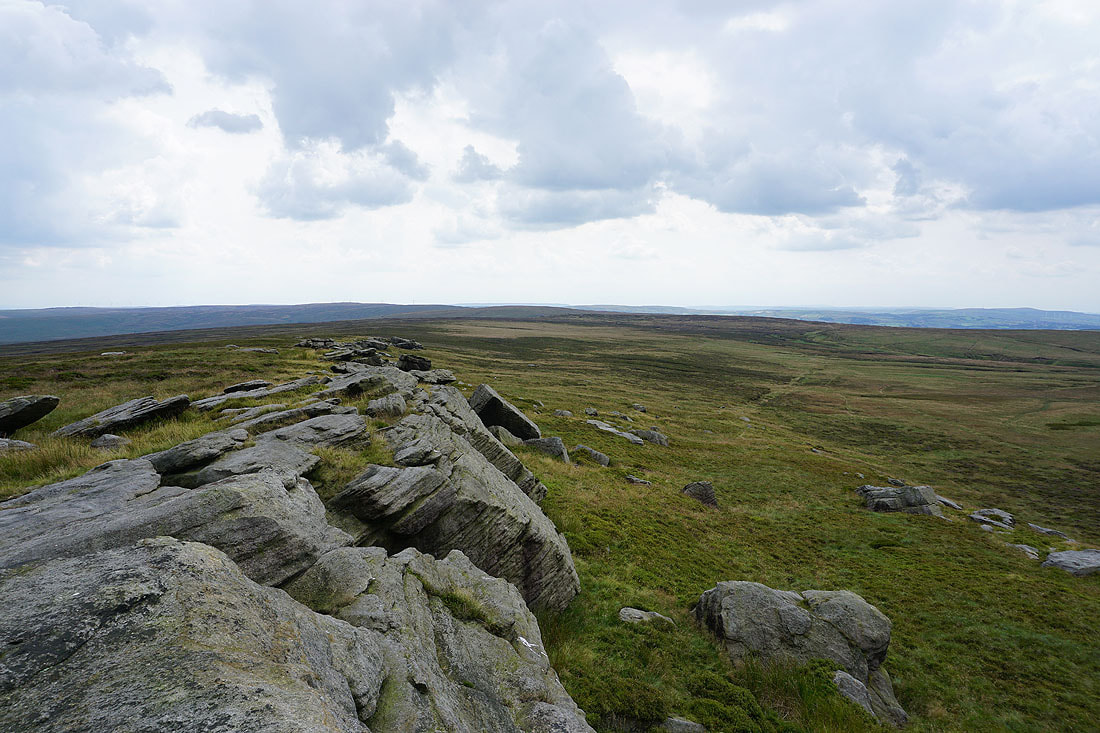
Looking back along Dove Stones
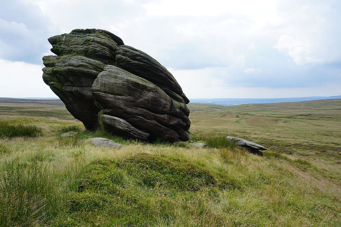
A large boulder that's beneath the line of crags..
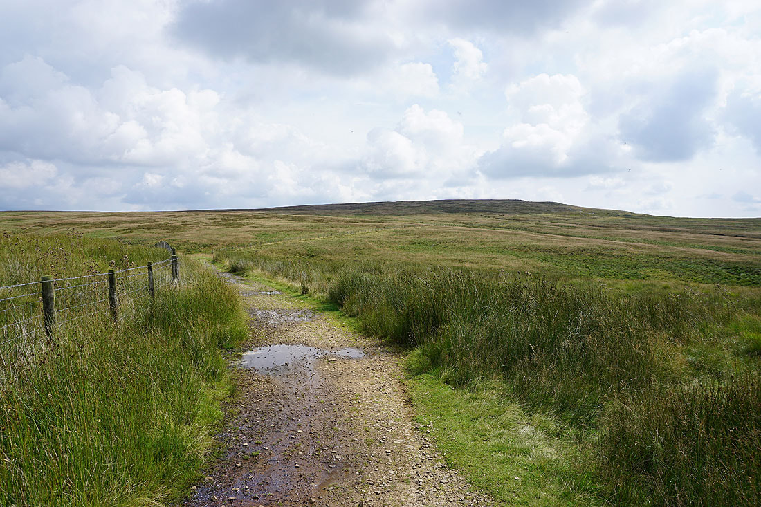
Heading for Boulsworth Hill from Dove Stones..
Looking back to Dove Stones as I head up onto Boulsworth Hill
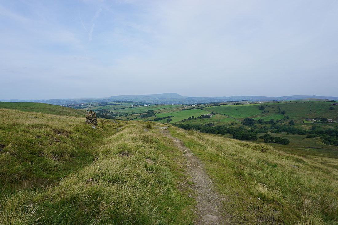
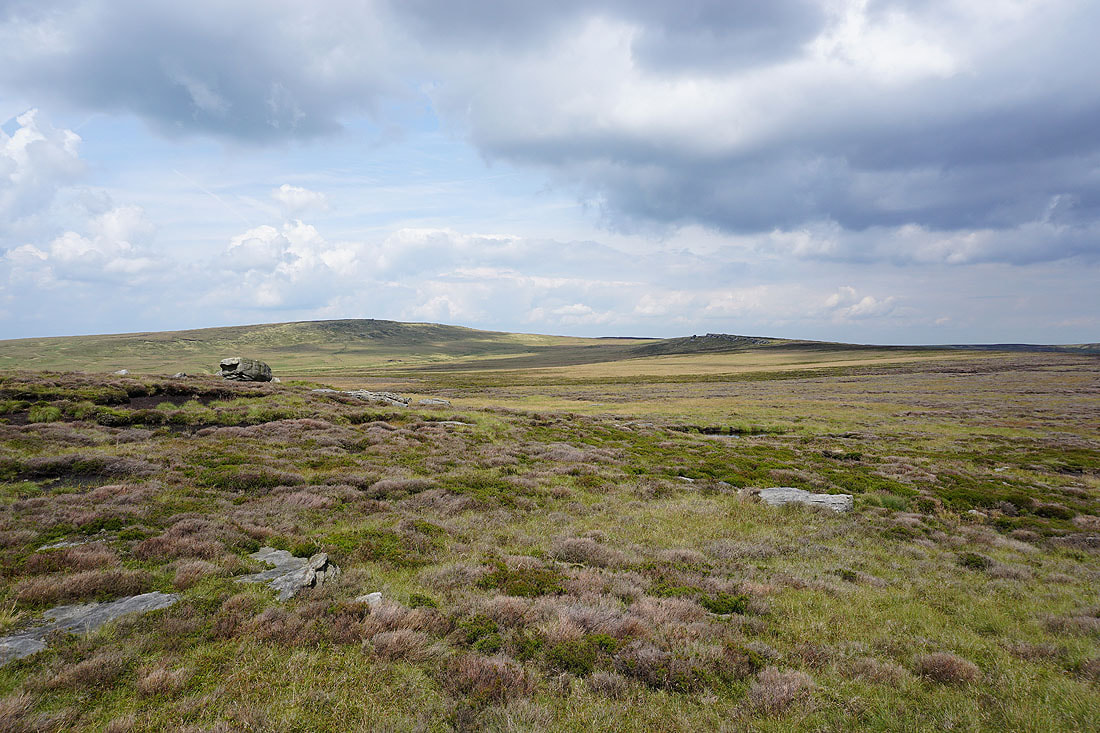
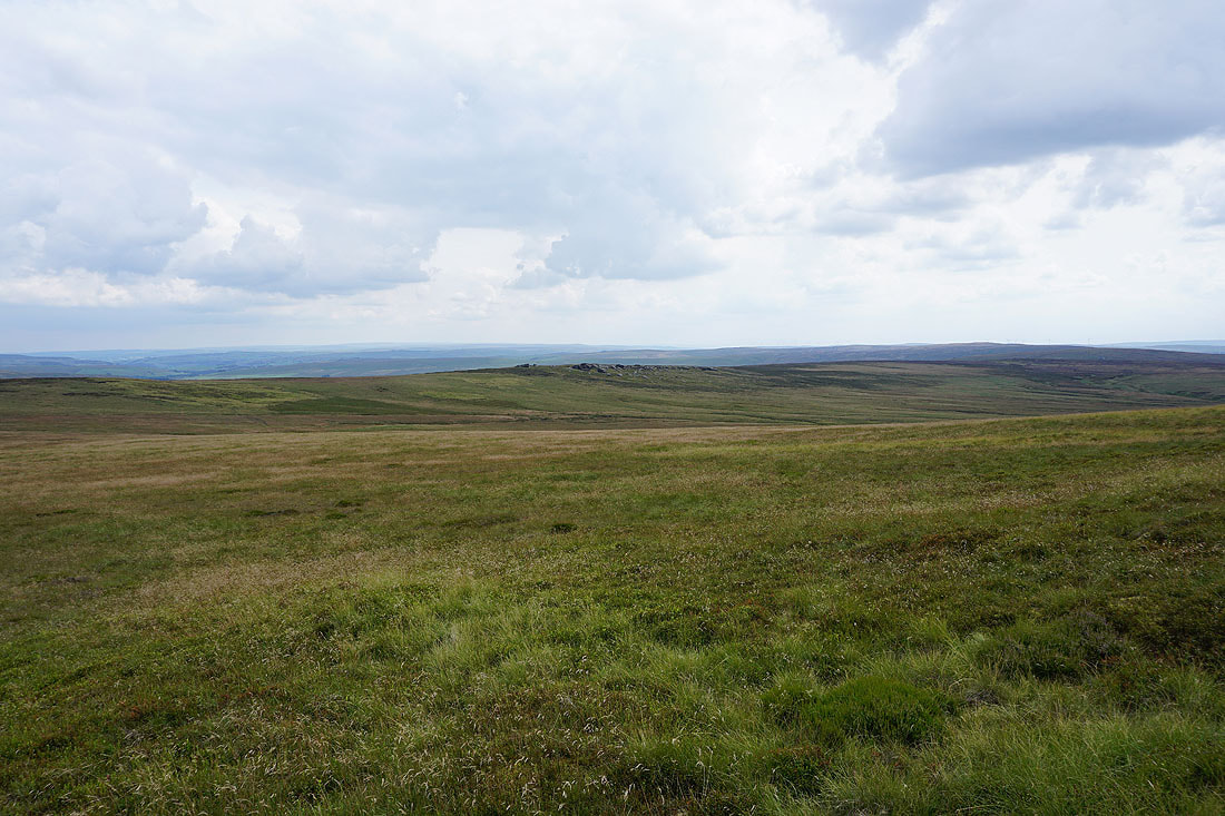
Hoof Stones Height and Thieveley Pike from Boulsworth Hill
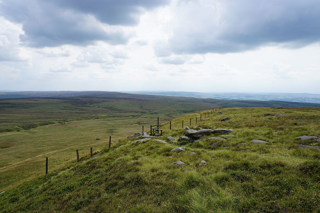
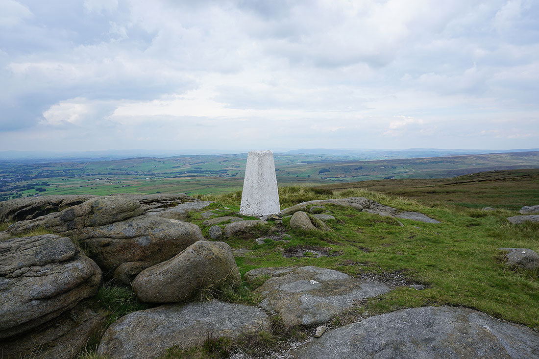
The final approach to the trig point
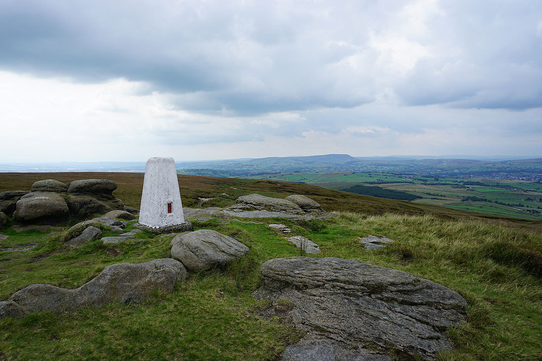
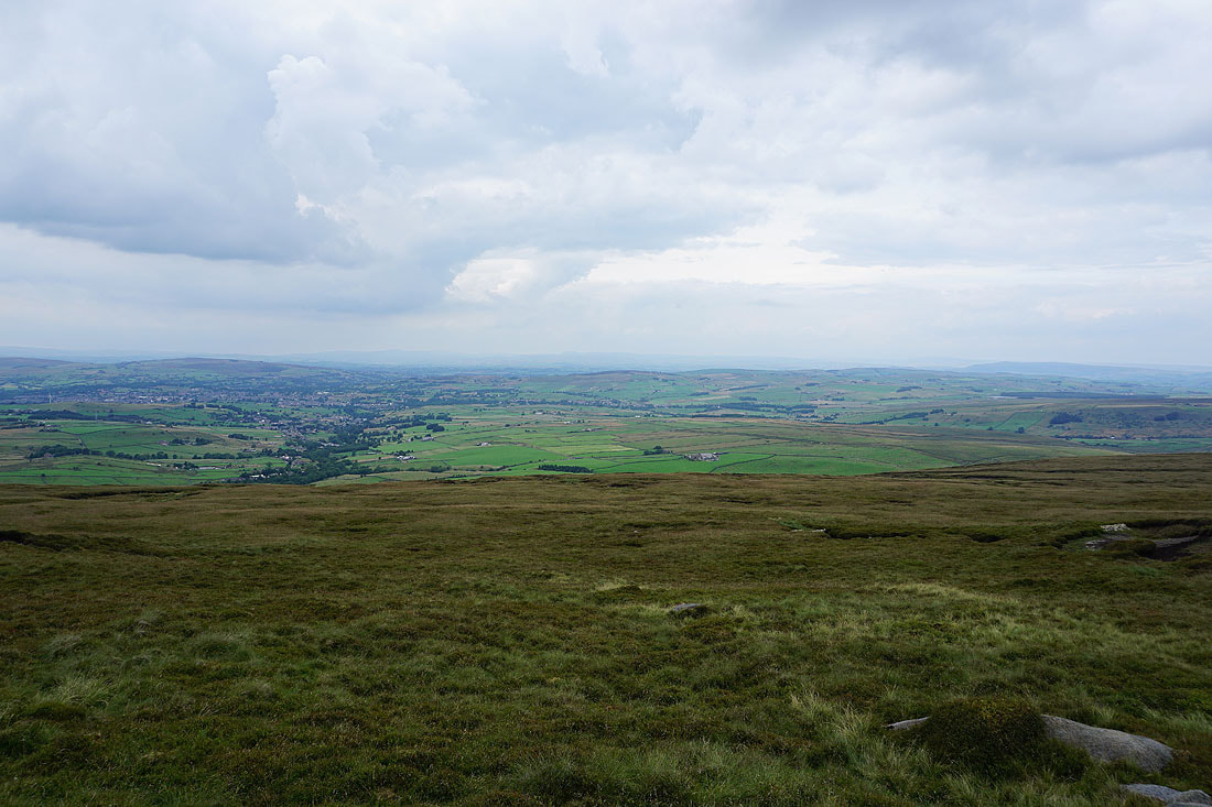
Pendle Hill from the summit of Boulsworth Hill
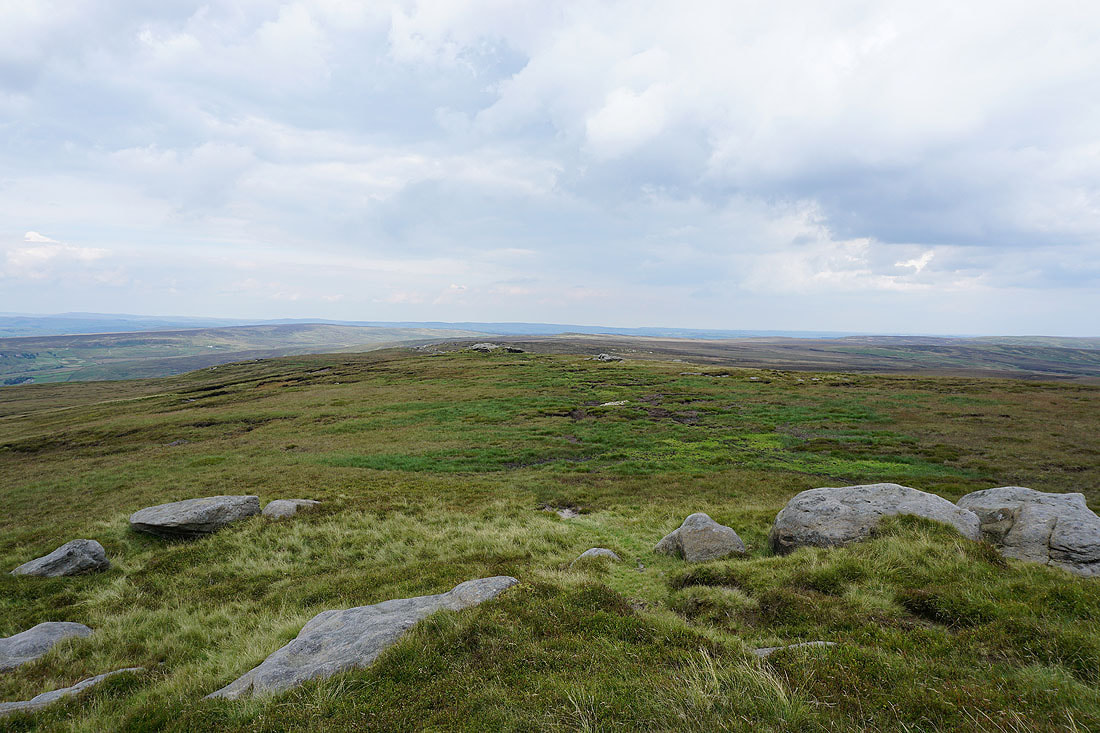
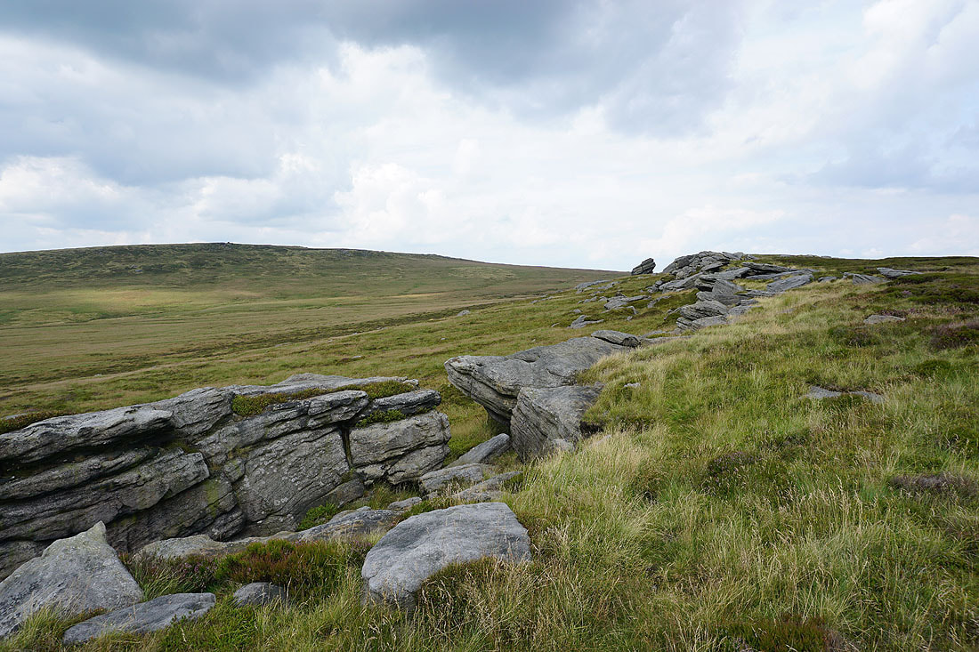
Wolf Stones, Crow Hill and Stanbury Moor to the east
The moors around Calderdale to the south
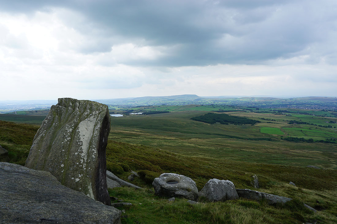
Looking towards the hills around Lothersdale, with Barden Moor in the distance to the right of the trig point
Weets Hill, Kelbrook Moor and Pinhaw Beacon with Trawden below
The Coldwell Reservoirs and Pendle Hill as I pass the Abbot Stone on the way down
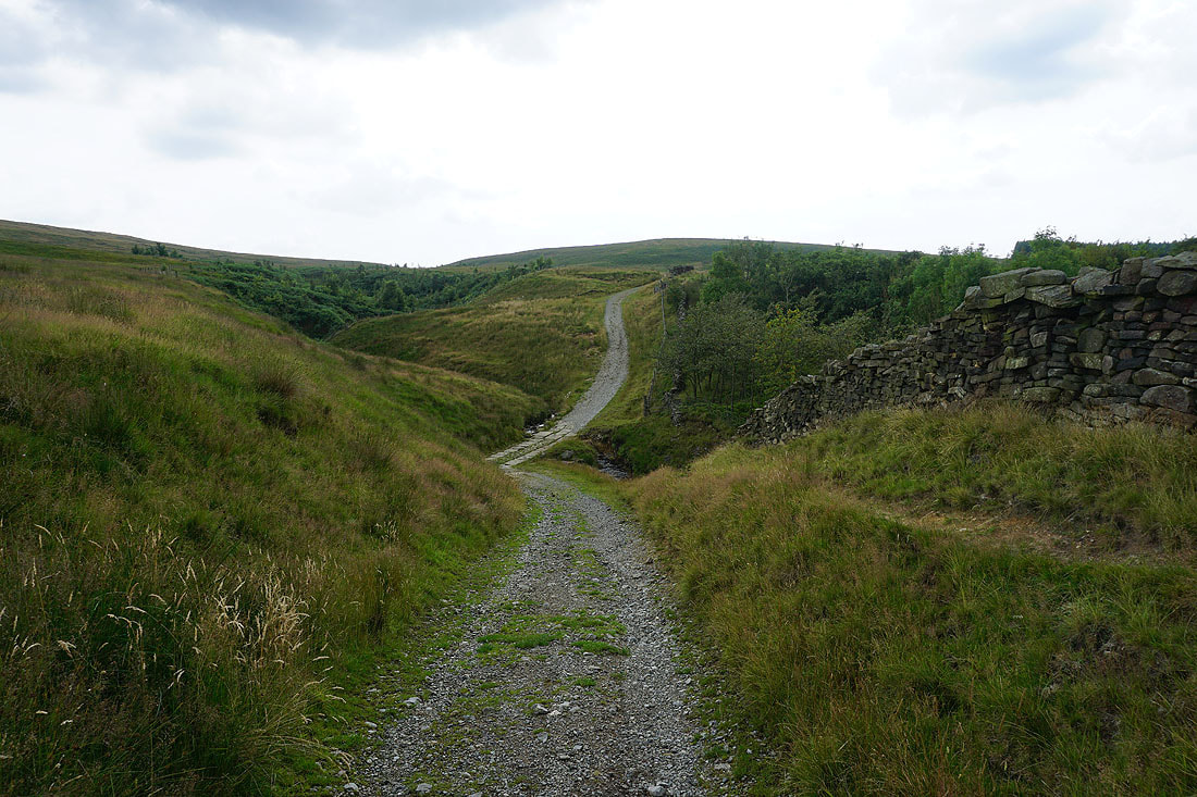
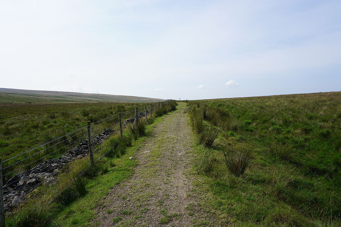
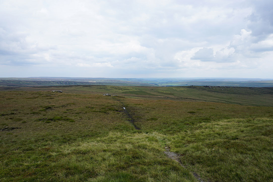
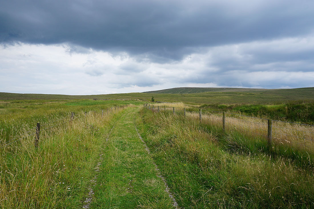
Heading west on the Pennine Bridleway to cross Will Moor Clough
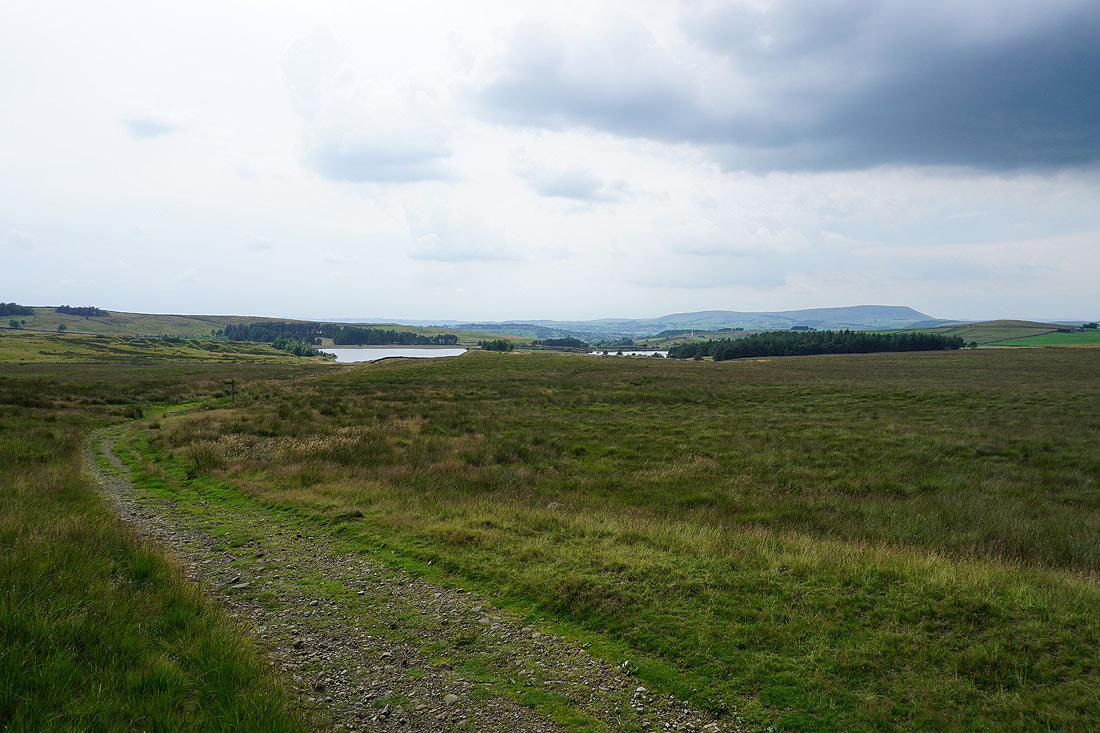
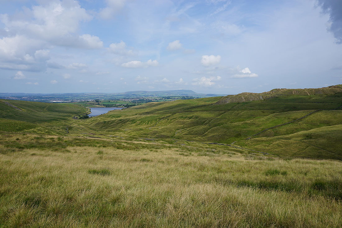
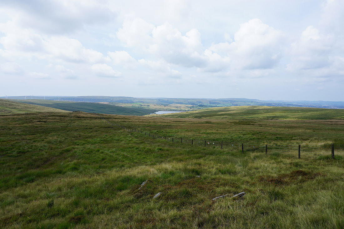
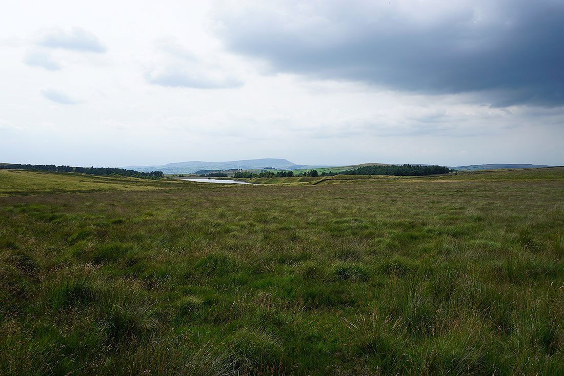
The Coldwell Reservoirs and Pendle Hill from Will Moor
Lower Coldwell Reservoir and Pendle Hill from the Pendle Way
Lower Coldwell Reservoir with the hill of Walton's Monument behind
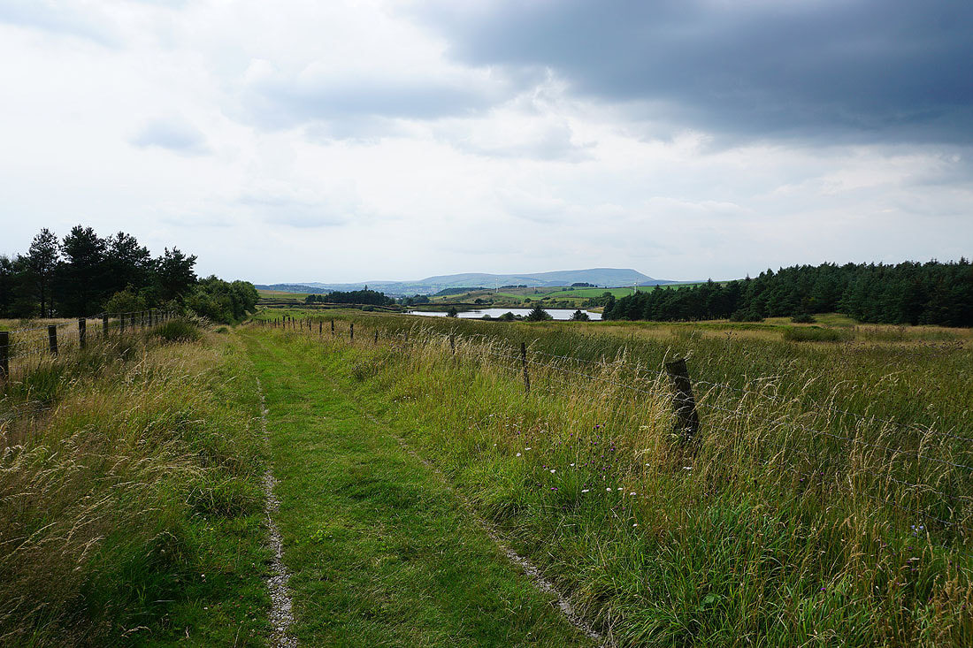
Boulsworth Hill as I follow the Pendle Way back to the Pennine Bridleway
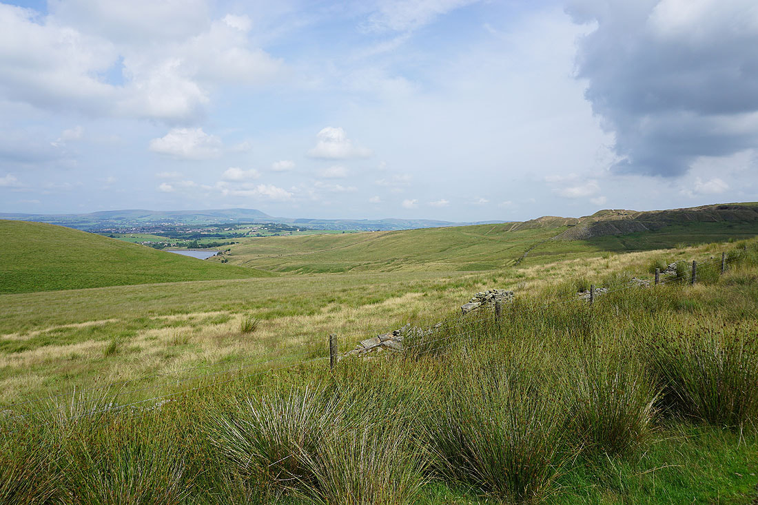
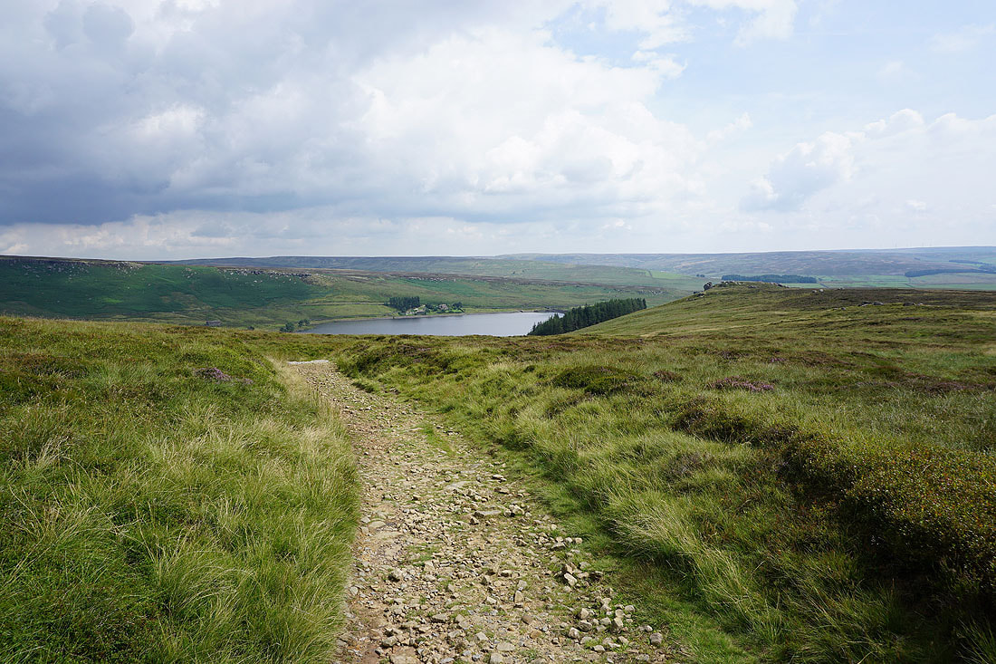
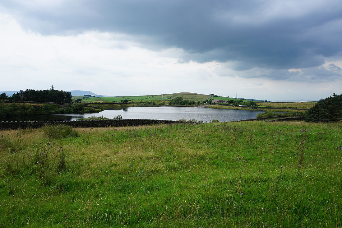
Upper Coldwell Reservoir and Pendle Hill from the Pennine Bridleway. There are some dark clouds around..
..especially if I look behind me. Fortunately they aren't coming this way.
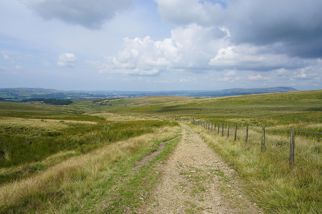
Nearing the end of the walk as I approach Thursden Valley
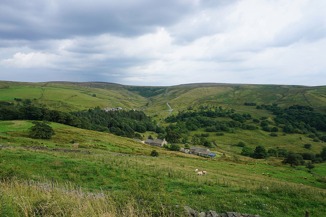
Back at the picnic site with views across the Thursden Valley..