3rd December 2017 - Weets Top to Malham Cove
Walk Details
Distance walked: 12.1 miles
Total ascent: 1967 ft
OS map used: OL2 - Yorkshire Dales, Southern & Western areas
Time taken: 6 hrs
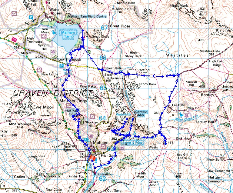
Route description: Malham-Pennine Way-Janet's Foss-Gordale Scar-Hawthorns Lane-Weets Top-Smearbottoms Lane-Mastiles Lane-Street Gate-Malham Tarn-Pennine Way-Malham Cove-Malham
Another Yorkshire Dales walk and today Malham was my destination of choice. There's a lot of great scenery on offer just a stone's throw from the village, so I can fit plenty into a walk on a short winter's day. I decided to take in Janet's Foss, Gordale Scar, Weet's Top, Mastiles Lane, Malham Tarn and Malham Cove. After the snow and bitterly cold northerly wind that I had on my walk from Grassington on Friday the weather has turned milder. All the snow had gone and it felt positively balmy in the sunny spells.
I left Malham by taking the trail of the Pennine Way and following it south briefly before taking the footpath to Janet's Foss. I then made my way up to Gordale Bridge and paid a visit to Gordale Scar. After retracing my steps to Gordale Bridge I took the path signposted for Malham Cove. I followed this up to a gate at the top of the field and access land, where I turned right and made my way up the hillside to above Gordale Scar. Once I'd gotten the photos I was after I returned to Gordale Bridge. I then walked up Hawthorns Lane and at its top took the bridleway to Weets Top. Lunch was taken here, after which I returned to Hawthorns Lane where I turned right and walked along Smearbottoms Lane to Middle Laithe and onto the byway to Mastiles Lane. I then followed Mastiles Lane west to Street Gate and onto to the track to Malham Tarn. The trail of the Pennine Way was then used to take me south to Malham Cove and back to Malham.
Route map
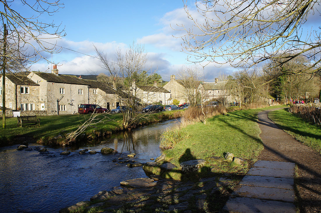
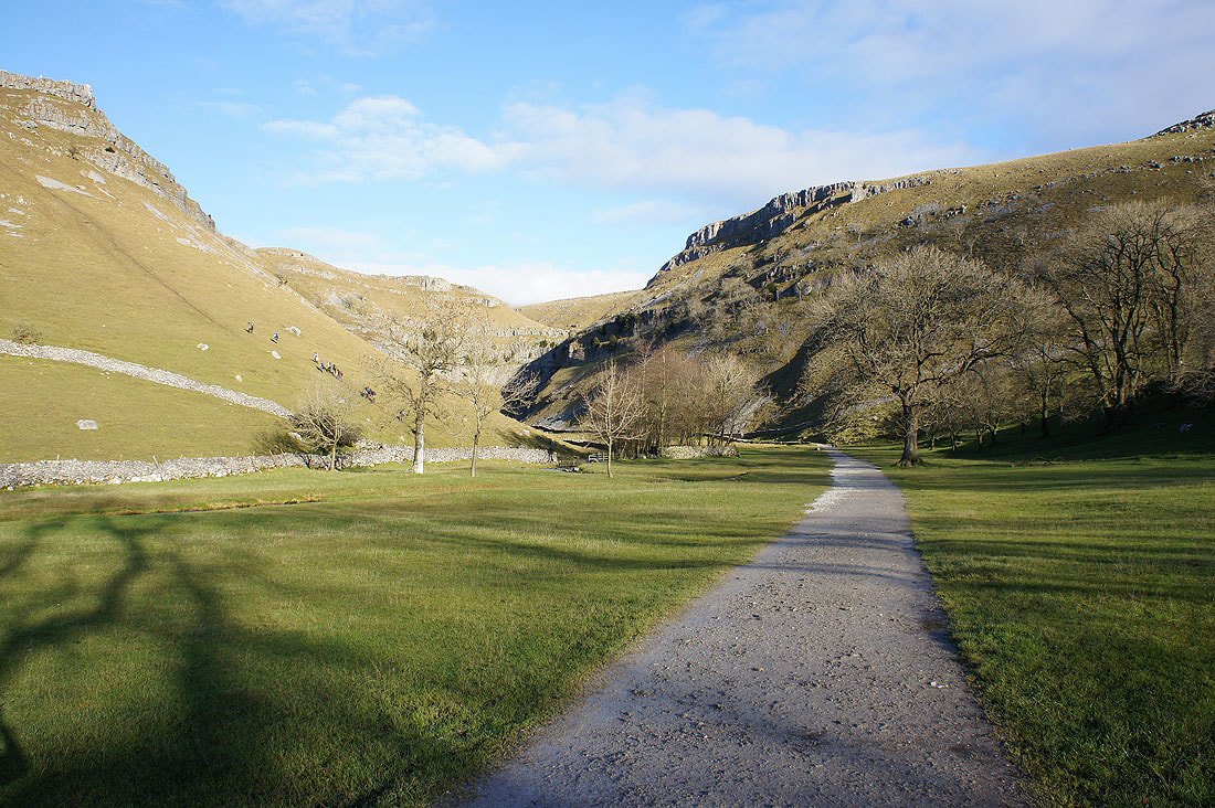
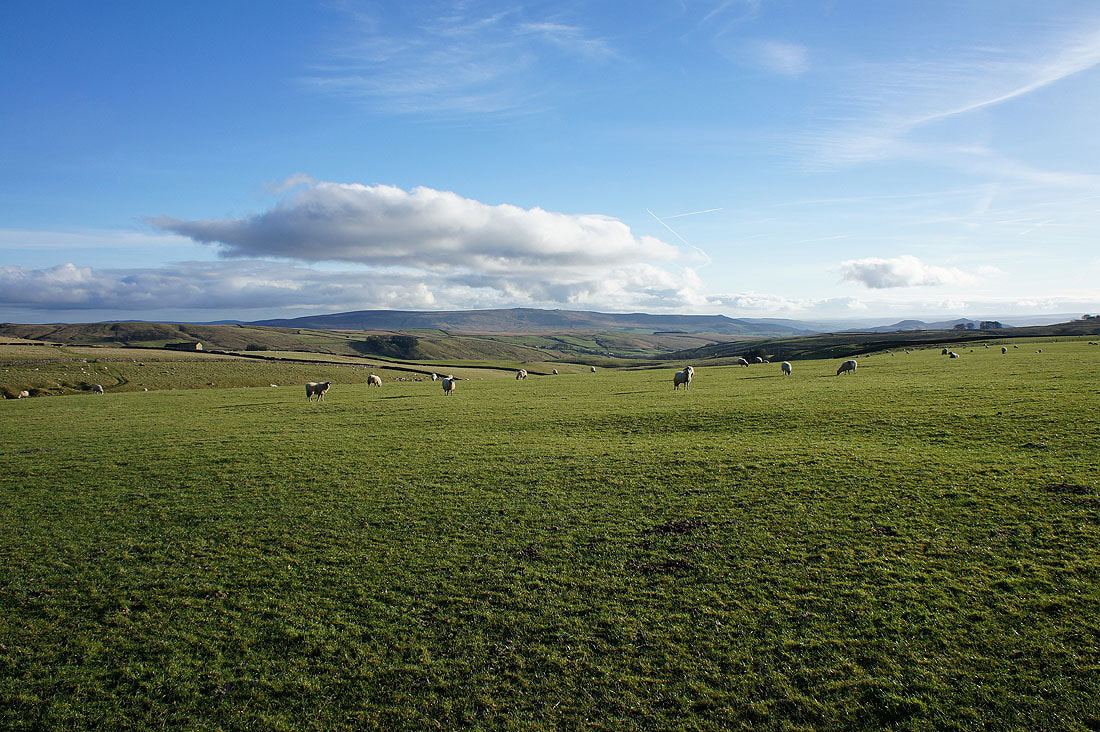
It's a lovely morning as I set off from Malham..
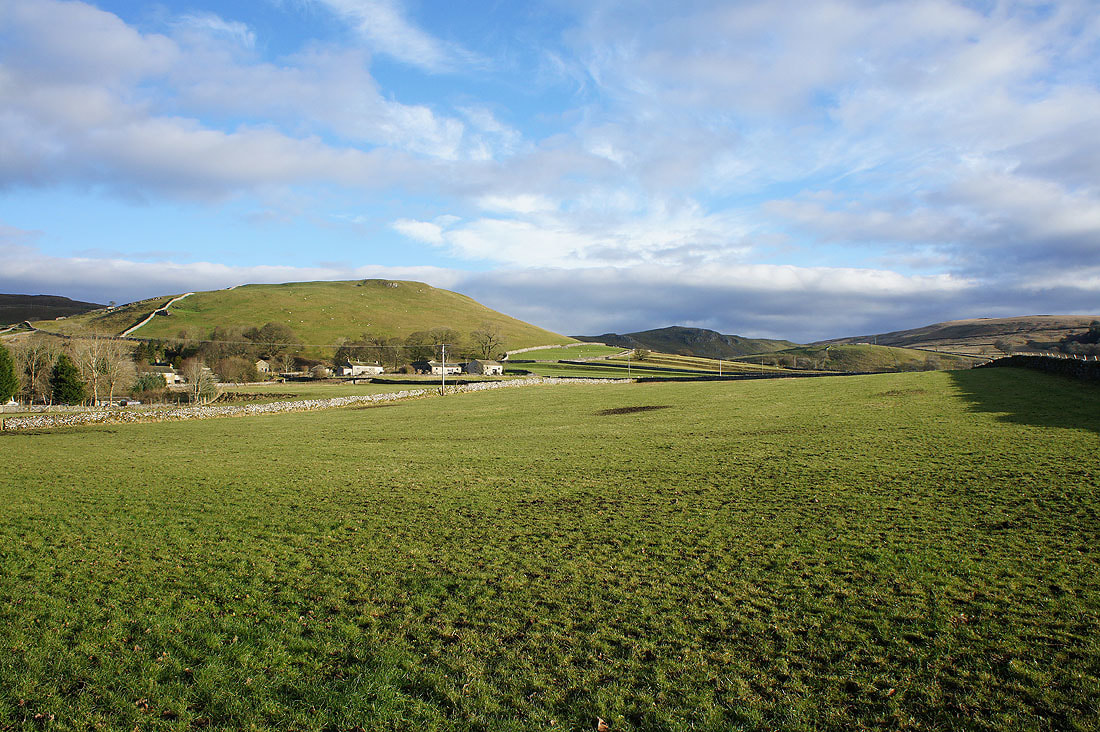
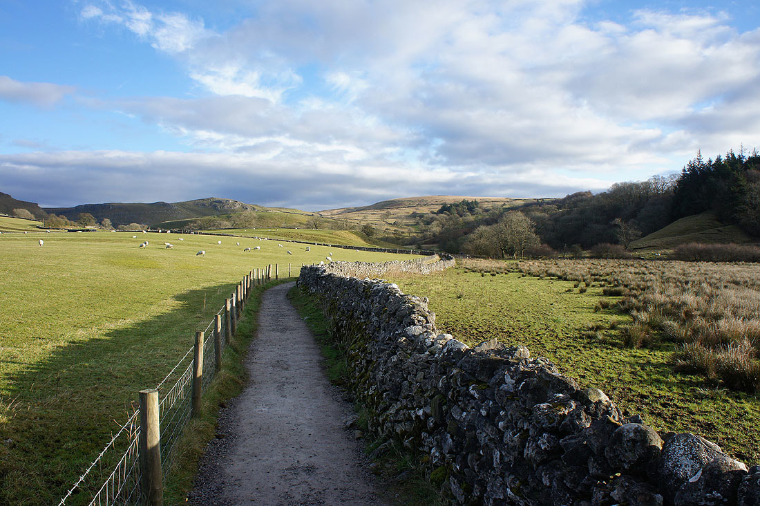
On the footpath to Janet's Foss..
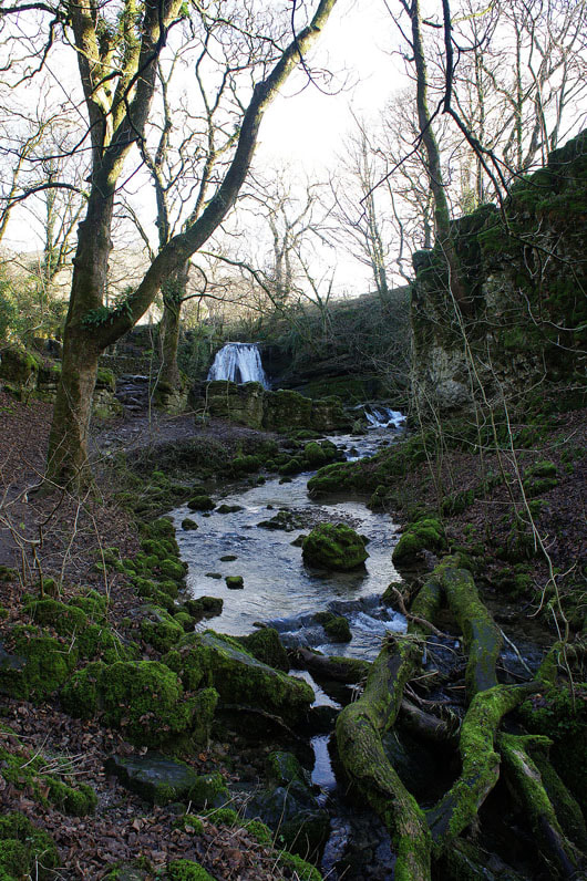
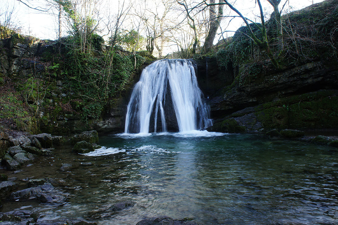
The waterfall of Janet's Foss
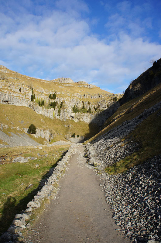
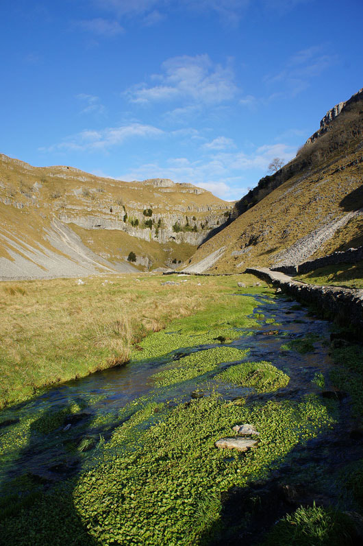
From Janet's Foss it's just a short walk to reach Gordale Scar..
The climb up the waterfall isn't in my plans for today so it's back out to the road. Another shot of Gordale Scar from Gordale Beck.
I do plan on visiting the top of the crags on the left though. Fortunately there is a way up that isn't quite as steep as the one that group is taking.
Turning round to see Pendle Hill in the distance as I head up to the top of the crags
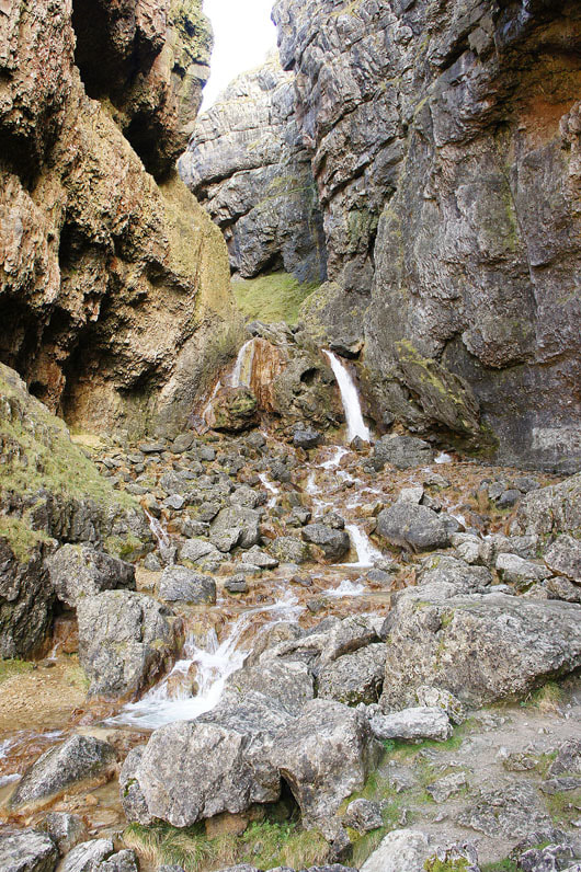
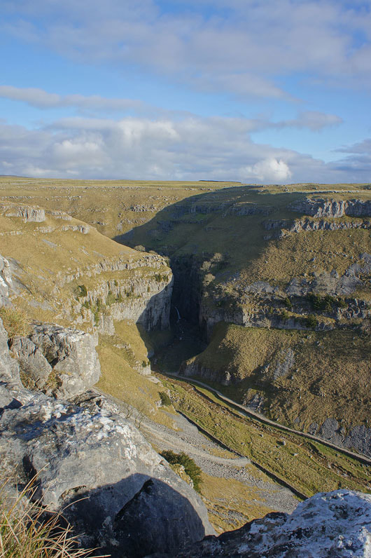
and this is the view that is definitely worth the effort. I took this photo using the HDR setting on my camera. It's one that I don't use very often but in this case it was the only way that I could make the waterfall visible in the deep shadow.
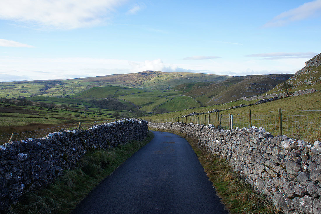
Looking back to see Kirkby Fell in the distance as I walk up Hawthorns Lane
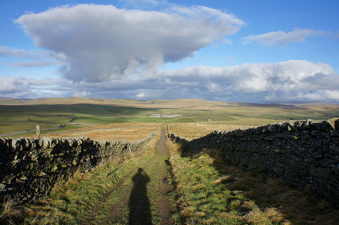
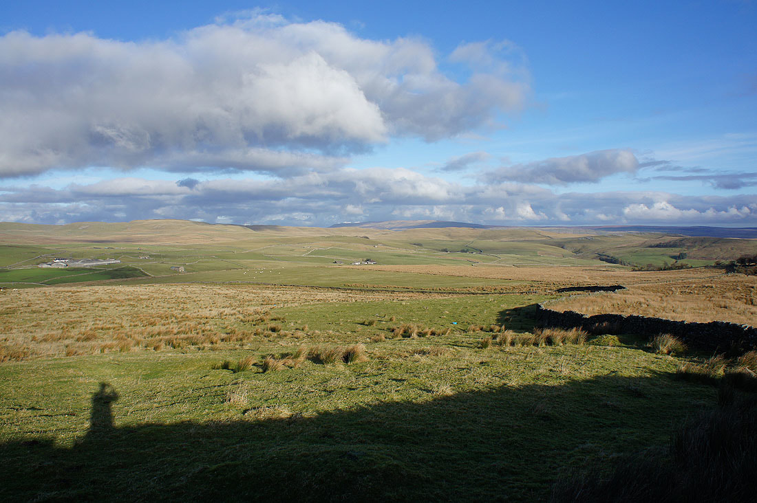
The moorland of Proctor High Mark to the north from the bridleway to Weets Top
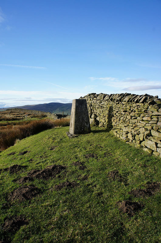
The trig point on Weets Top
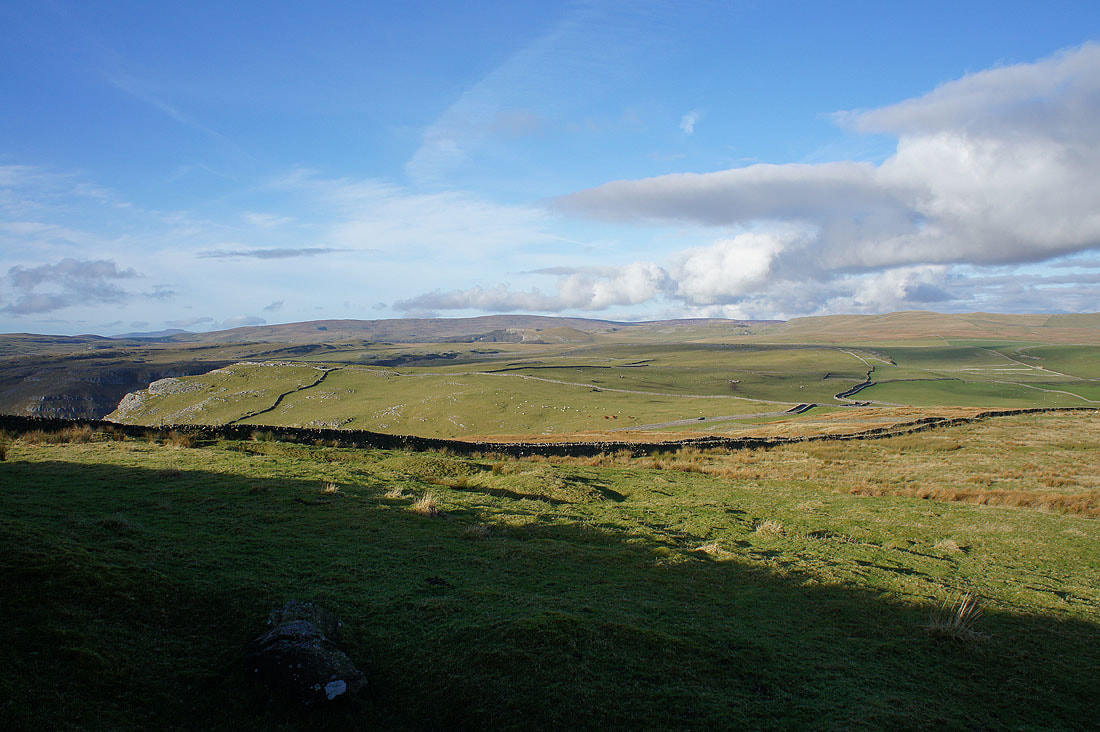
The view from Weets Top. Fountains Fell in the distance to the northwest. I can also make out the top of Ingleborough on the left.
Great Whernside to the northeast
Threshfield Moor to the east
Cracoe Fell on the left with Sharp Haw behind Hetton Common Head on the right
Finally, Pendle Hill in the distance
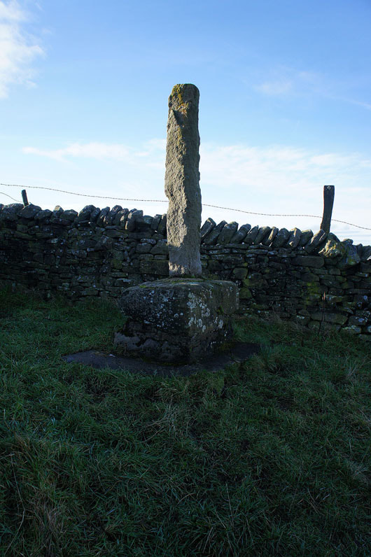
The remains of Weets Cross
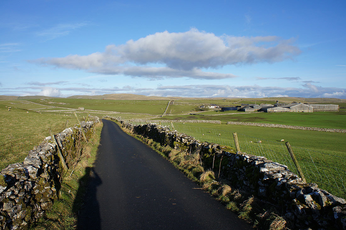
On Smearbottoms Lane and heading for Middle Laithe
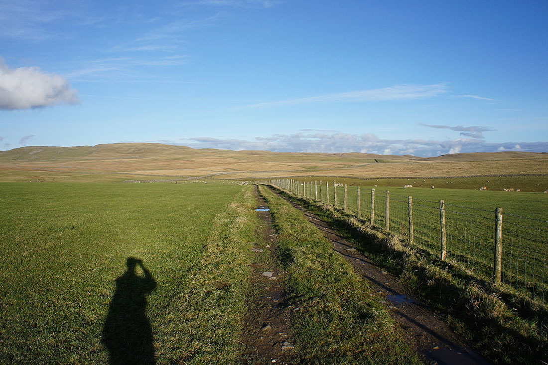
It's a lovely afternoon as I follow the byway from Lee Gate to Mastiles Lane..
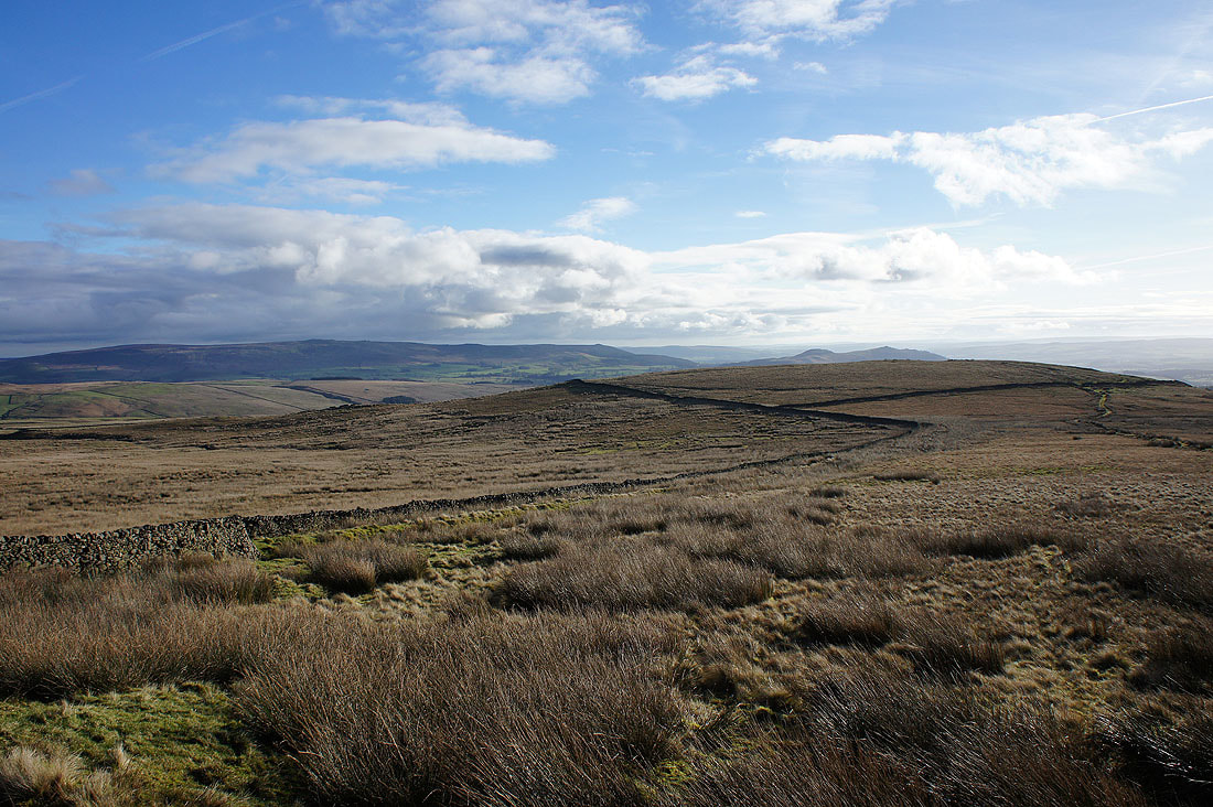
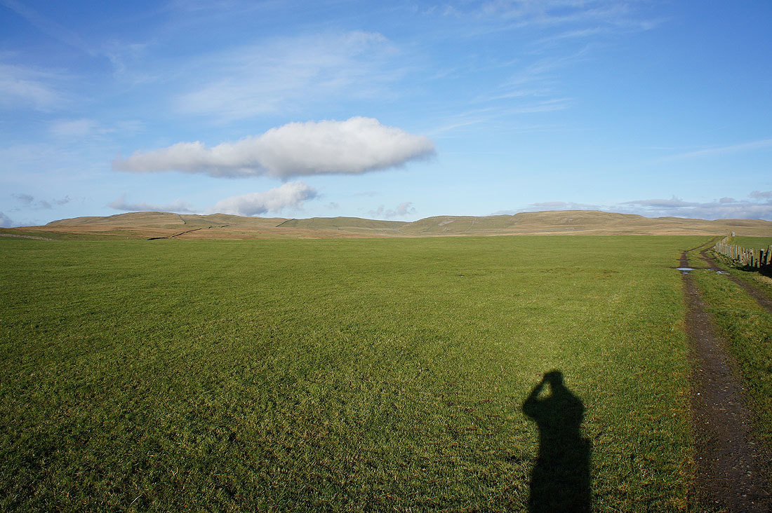
Cracoe Fell to the southeast
Onto Mastiles Lane and looking east
but I'm heading in the opposite direction, west
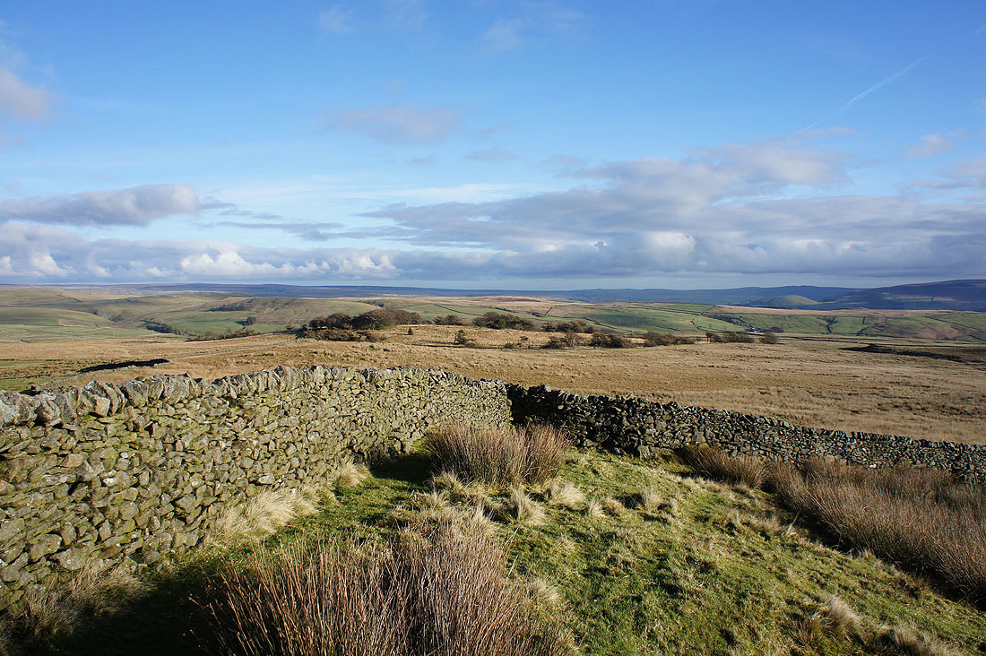
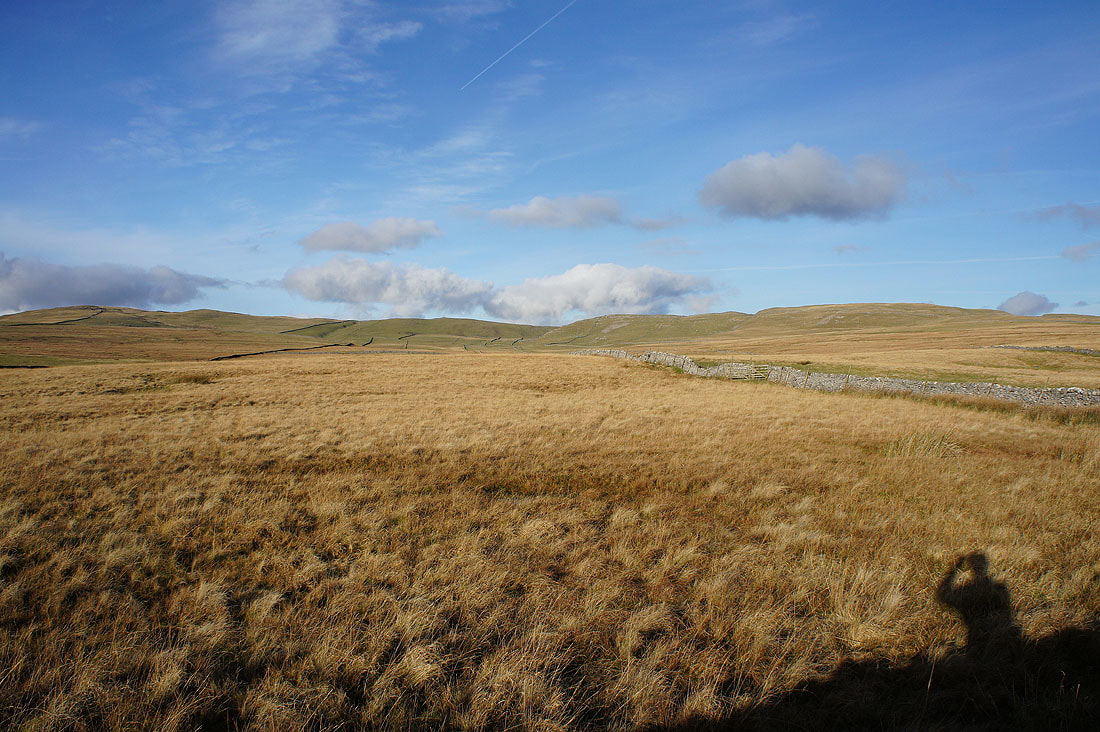
Gorgeous colours on the moors to the north of Mastiles Lane
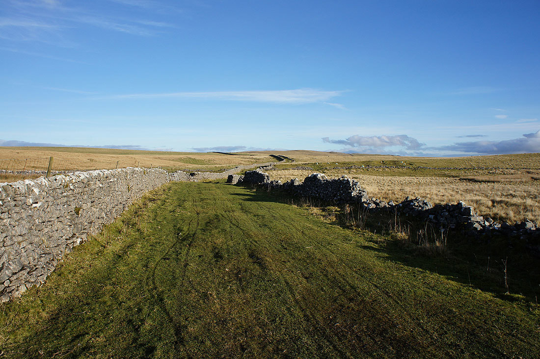
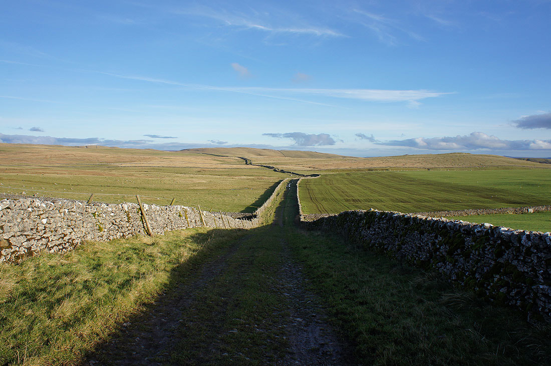
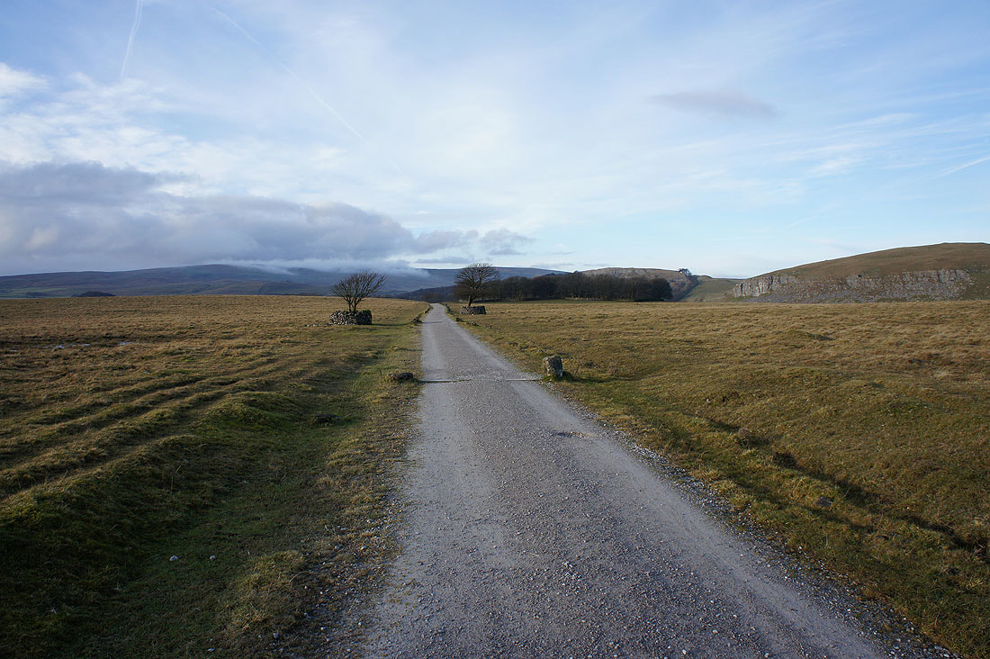
Looking back along Mastiles Lane..
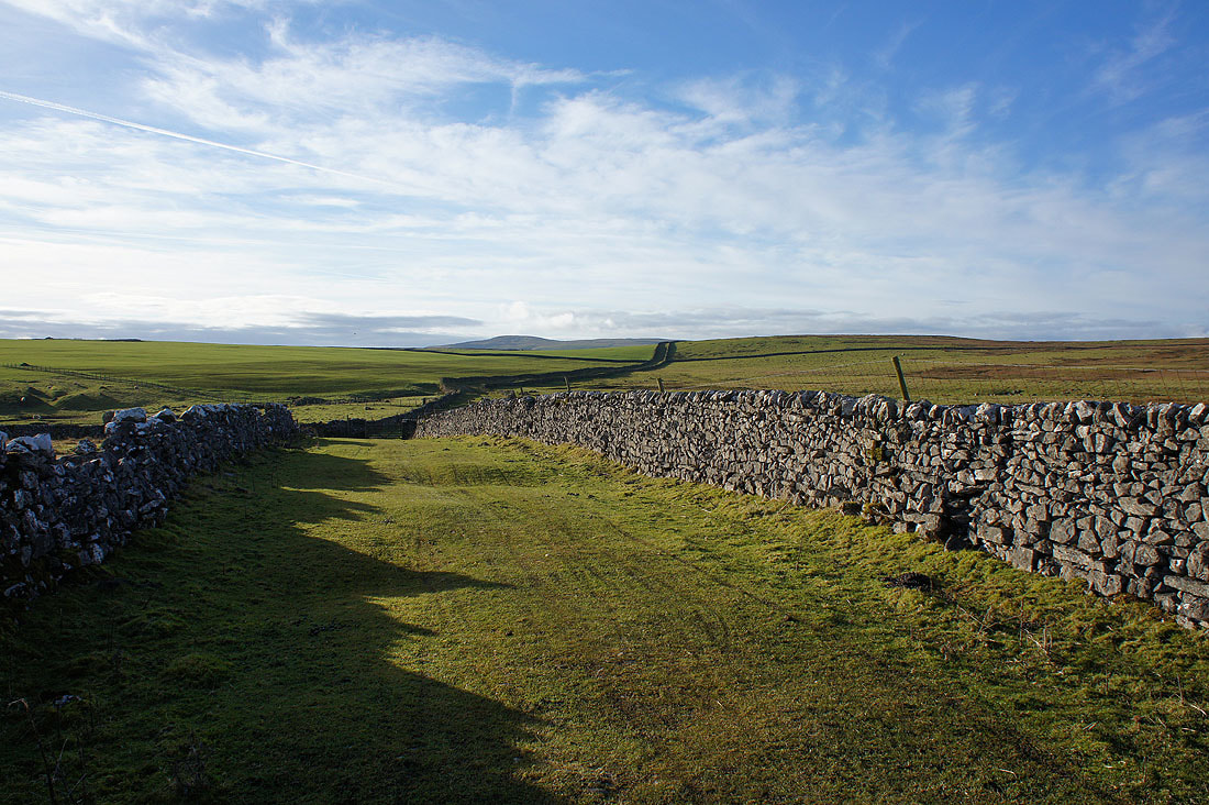
..as I follow it west towards Street Gate
Great Close Hill and Middle House Farm to the north
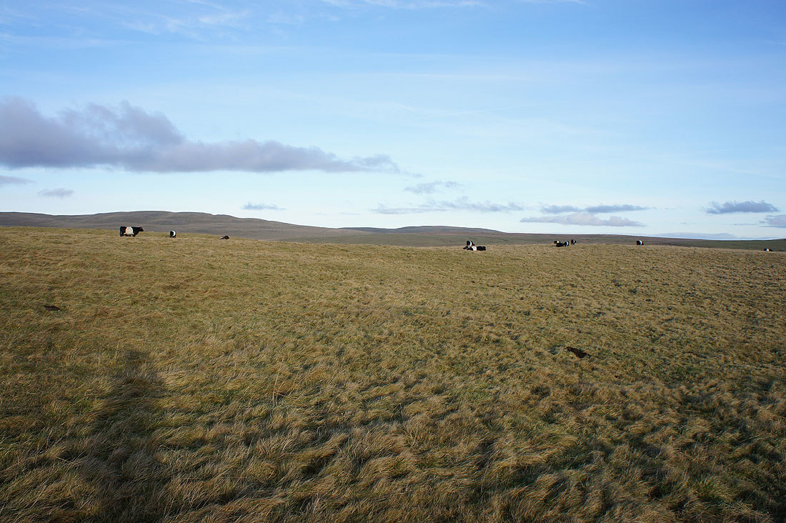
Belted galloways aren't bothered by me passing by
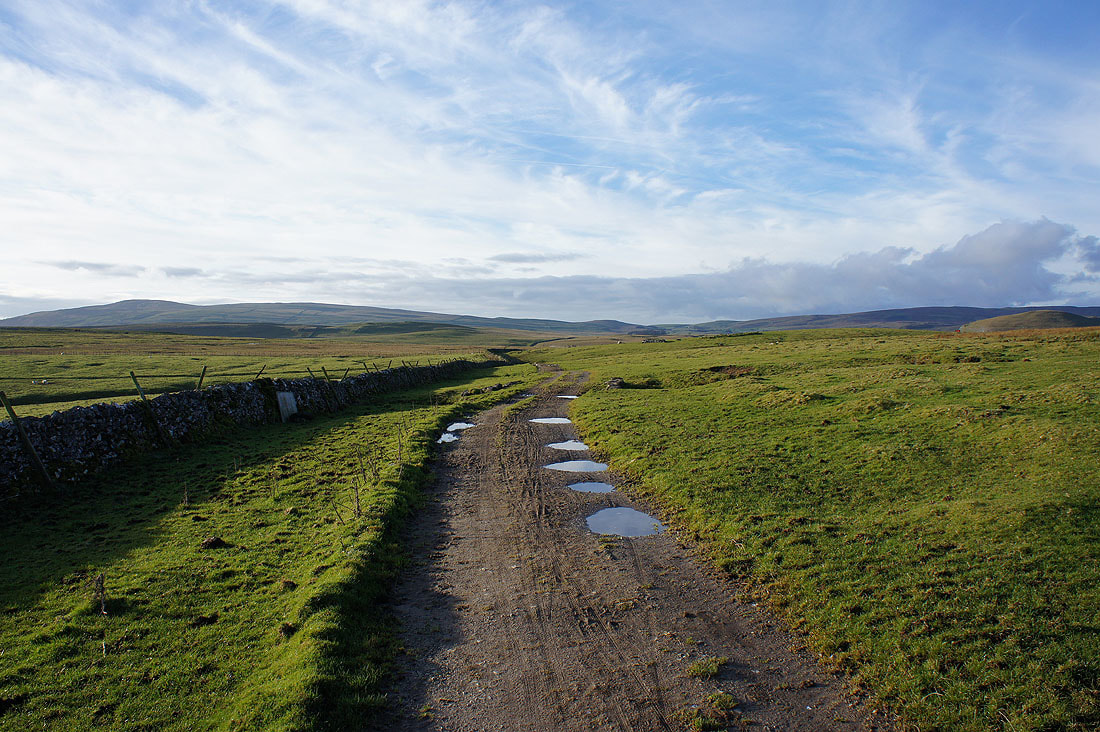
On the track to Malham Tarn
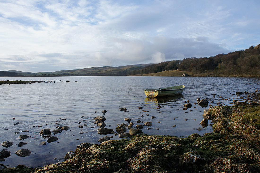
A conveniently placed boat makes a great foreground for a photo of Malham Tarn
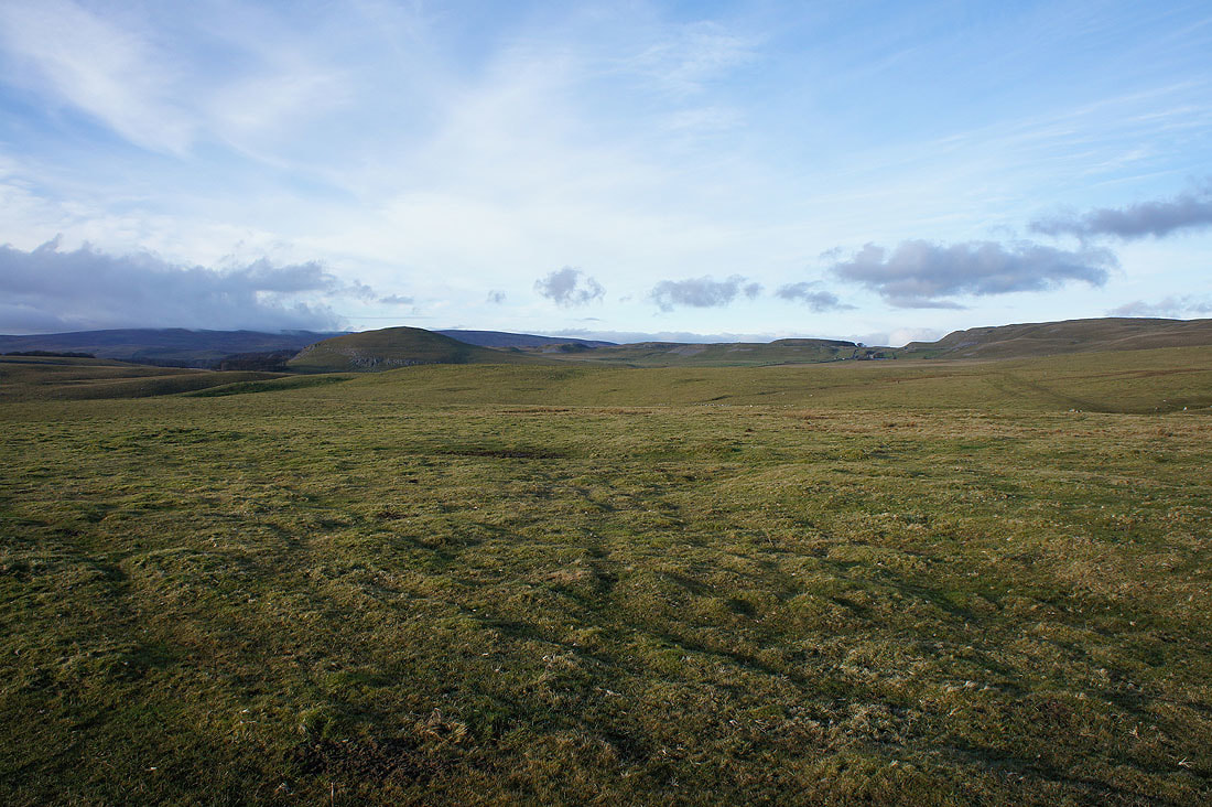
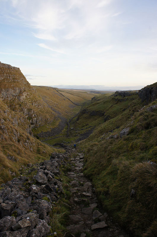
Heading down the dry valley to Malham Cove
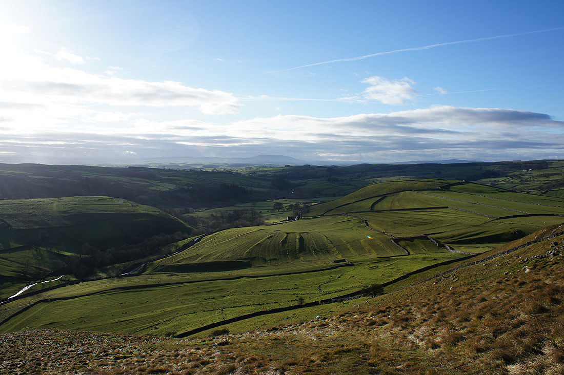
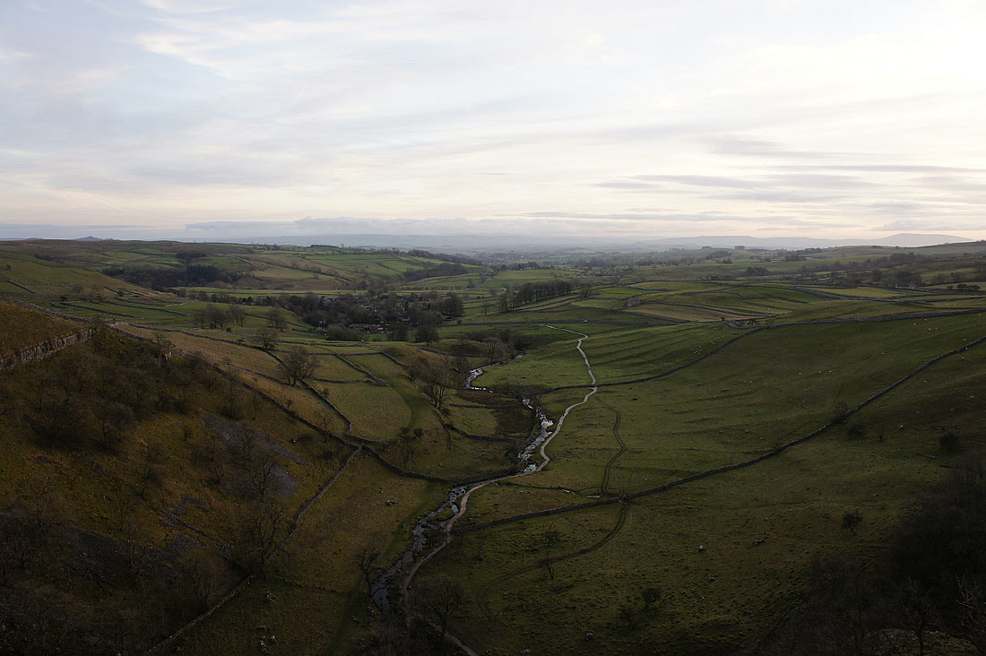
Malham and Malhamdale from the top of Malham Cove
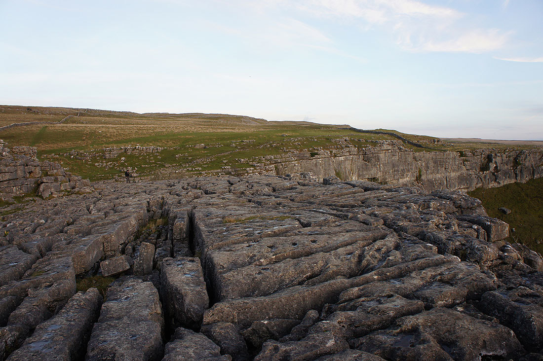
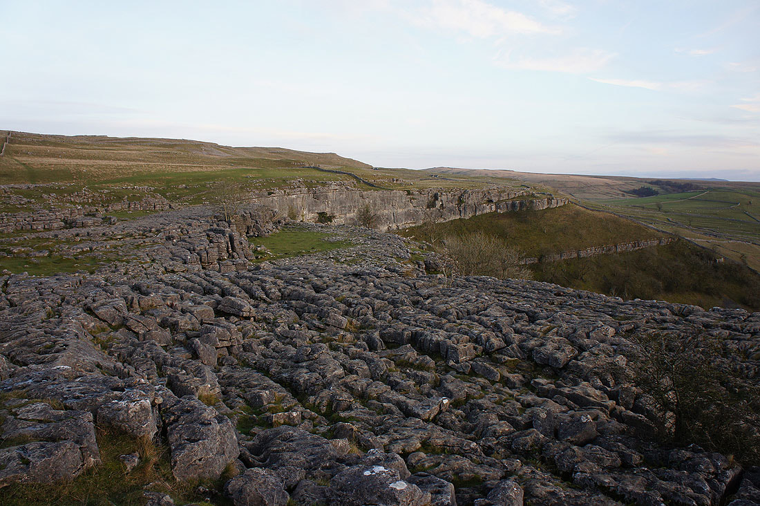
The limestone pavement at the top of Malham Cove..
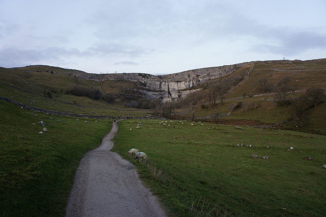
Looking back to Malham Cove as I head back to Malham
