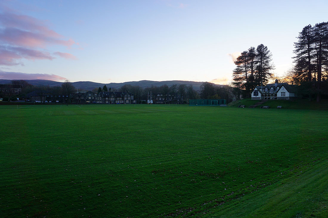
3rd December 2022 - The Howgills
Walk Details
Distance walked: 9.7 miles
Total ascent: 3208 ft
OS map used: OL19 - Howgill Fells & Upper Eden Valley
Time taken: 6 hrs
Route description: New Bridge, A684, Sedbergh-A683-Thorns Lane-Howgills Barn-Settlebeck Gill-Arant Haw-Calders-Great Dummacks-Cautley Crag-Red Gill Beck-Force Gill Beck-The Calf-Calders-Arant Haw-Winder-Lockbank Farm-Howgill Lane-A684-Sedbergh School-New Bridge, A684, Sedbergh
I couldn't go through a whole year without having a walk on the Howgills, so with a forecast of a day of reasonable weather I decided to drive up to Sedbergh and put that right. The route I decided to do was more or less a shorter version of the one that I did this time last year, when I walked to Fell Head and back from The Calf. I had no intention of doing that again today, especially since I took the time to visit Cautley Crag. Apart from a brief light shower that passed through while I was on my way from Arant Haw to Calders in the morning it turned out to be a pretty nice winter's day, with sunny spells and good visibility for taking in those Howgill views.
From where I parked in the layby at New Bridge on the A684 just outside Sedbergh I walked up the A684 to its junction with the A683, and crossed the road to Thorns Lane. I then walked up Thorns Lane until I reached a footpath on the left, which I took up to Howgills Barn, across Settlebeck Gill, and up to access land. I then made my way up the path above Settlebeck Gill and joined the bridleway from Winder to The Calf, which I followed uphill towards Arant Haw before leaving it to head up to the summit of Arant Haw. From Arant Haw I returned to the bridleway and followed it north across Rowantree Grains and up to the summit of Calders. From Calders I followed the fence east to the top of Middle Tongue before continuing on to the broad top of Great Dummacks and the southern end of Cautley Crag. I then made my way north along the top of the crag before dropping down to Red Gill Beck and the sheepfold next to it, where I stopped for lunch. After lunch I followed Force Gill Beck up to its source at the col between Bram Rigg Top and The Calf before heading up to the trig point on The Calf. Once I'd taken in the view I took the bridleway south to Calders, then down to and across Rowantree Grains before leaving it to head to the top of Arant Haw. I then descended from Arant Haw, made my way to the top of Winder, and took a steep way down to Lockbank Farm to reach Howgill Lane, which I crossed to take a footpath south to the A684. After crossing the road I took a public footpath through the grounds of Sedbergh School to the roundabout beside St. Andrew's Church, and from there I walked by the A684 back to the layby at New Bridge.
Route map
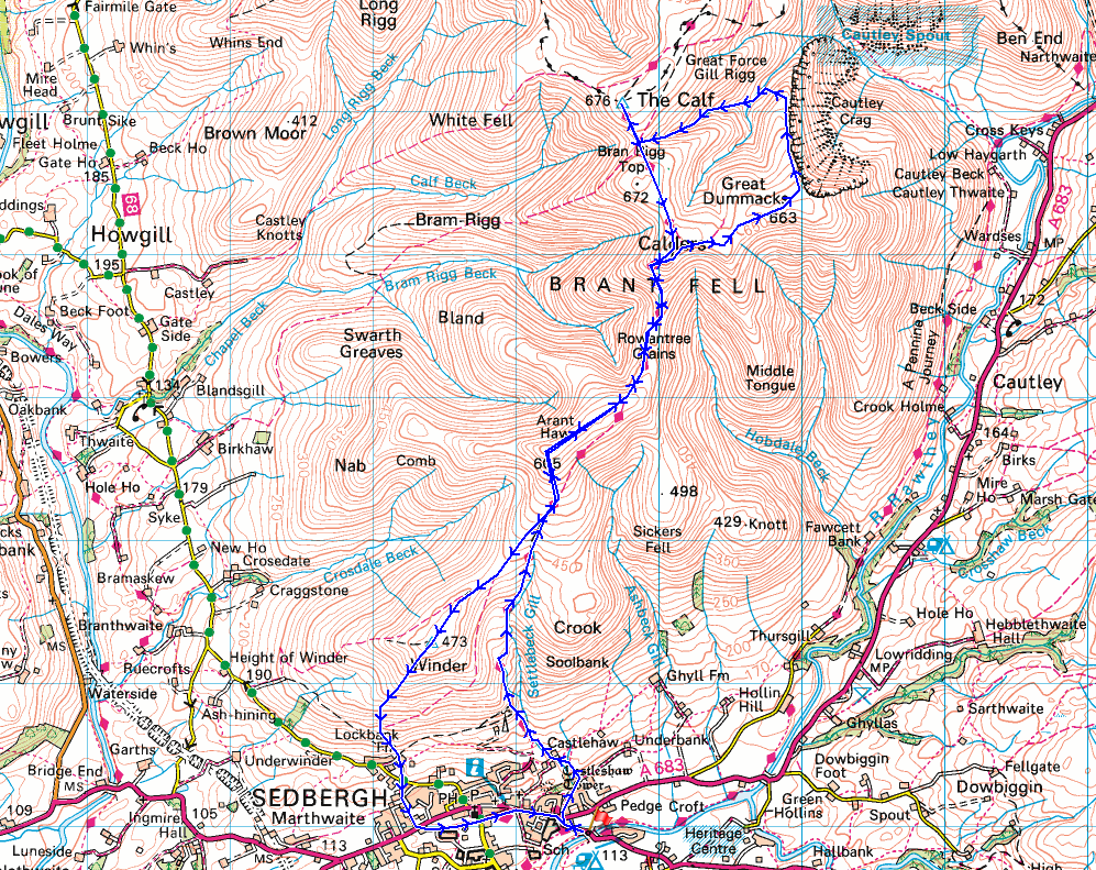
© Crown copyright. All rights reserved. License number PU 100034184.
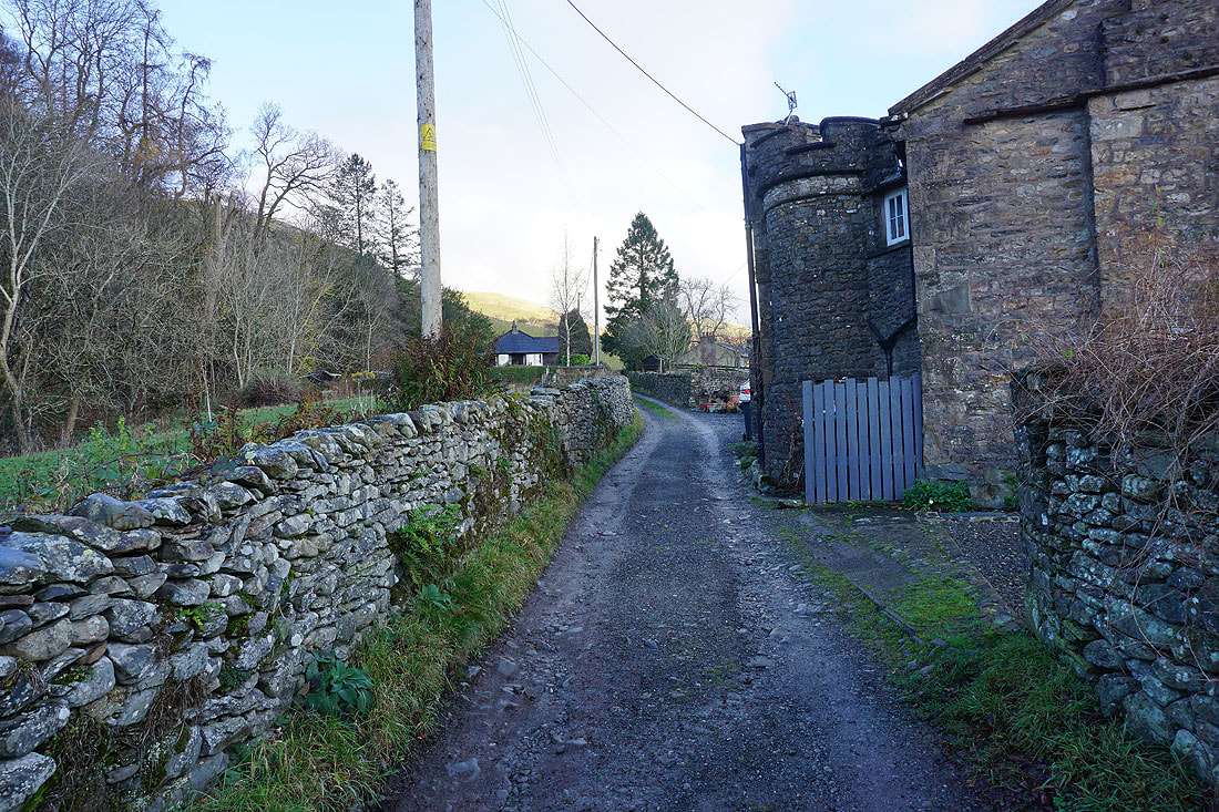
Heading up Thorns Lane from Sedbergh
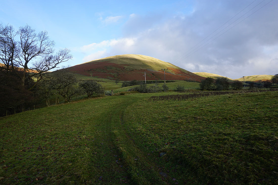
The fell of Crook ahead as I take the footpath up to Howgills Barn
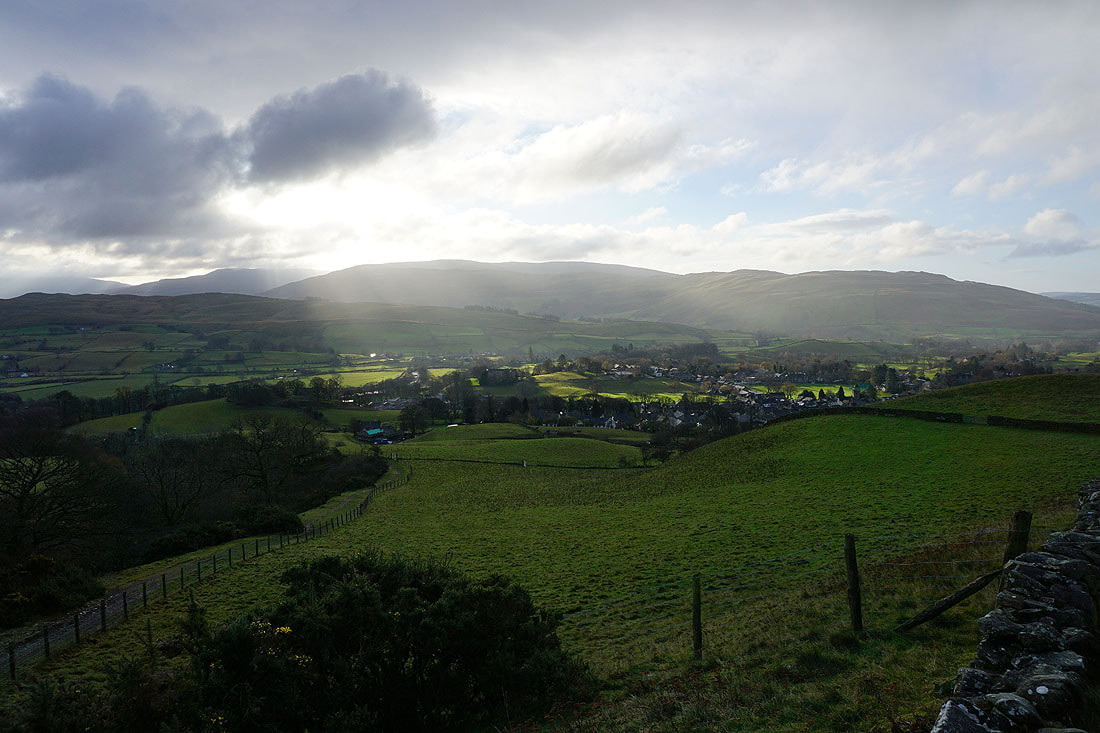
Sedbergh below as I reach the open fell
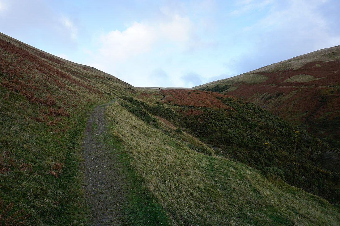
Heading up the path by Settlebeck Gill
Looking back down Settlebeck Gill to Sedbergh with Middleton Fell beyond
The fell of Winder, which I'll visit on the way back
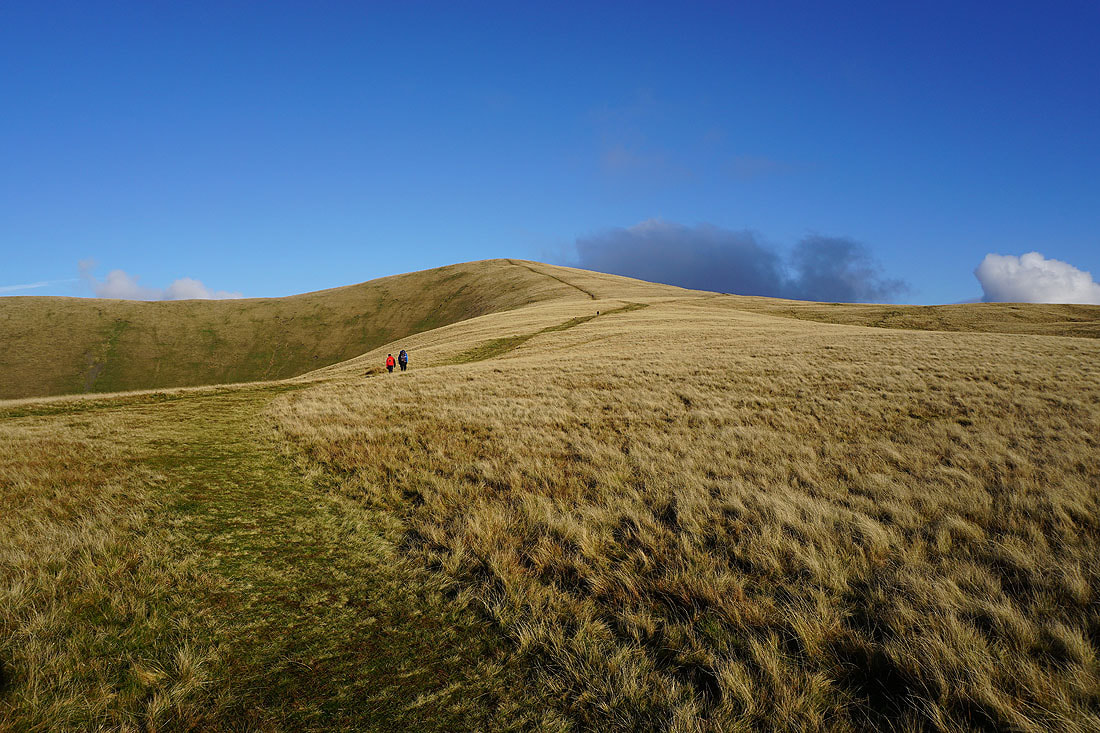
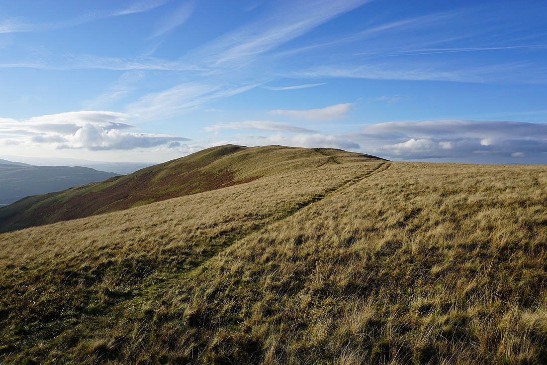
From the top of Settlebeck Gill I head for the top of Arant Haw
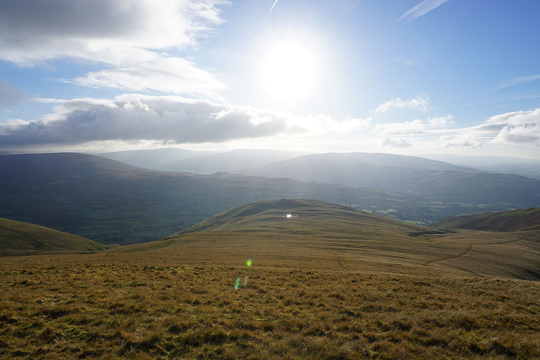
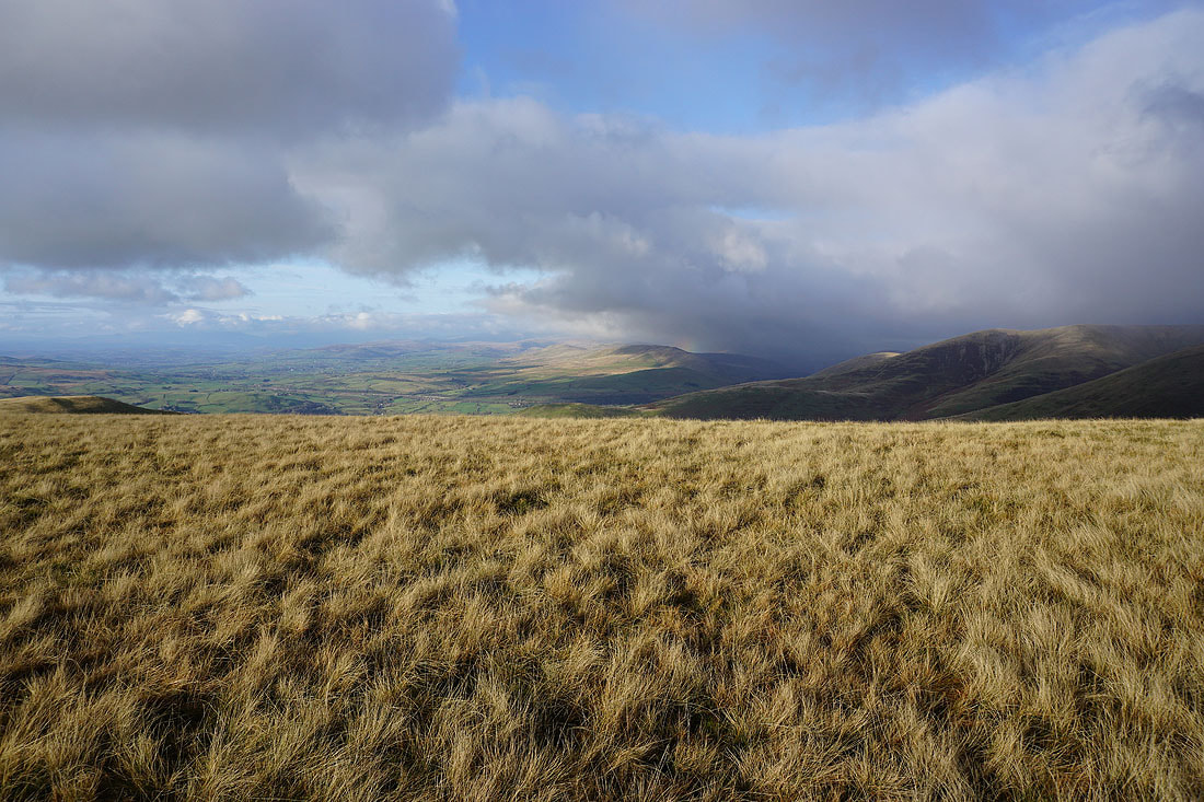
I get my first view to the west across the Lune Valley. Cloud is stopping me from seeing much of the Lake District.
Looking back to Winder as I head up Arant Haw
On the summit of Arant Haw. Looking north to Bram Rigg Top and Calders.
and southeast and south to Whernside, Great Coum, and Middleton Fell, with Crook and Winder below..
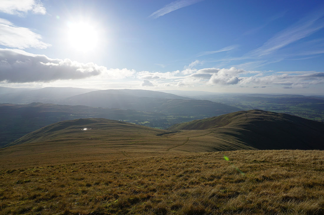
The Lake District fells in the distance to the west
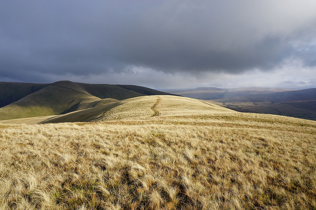
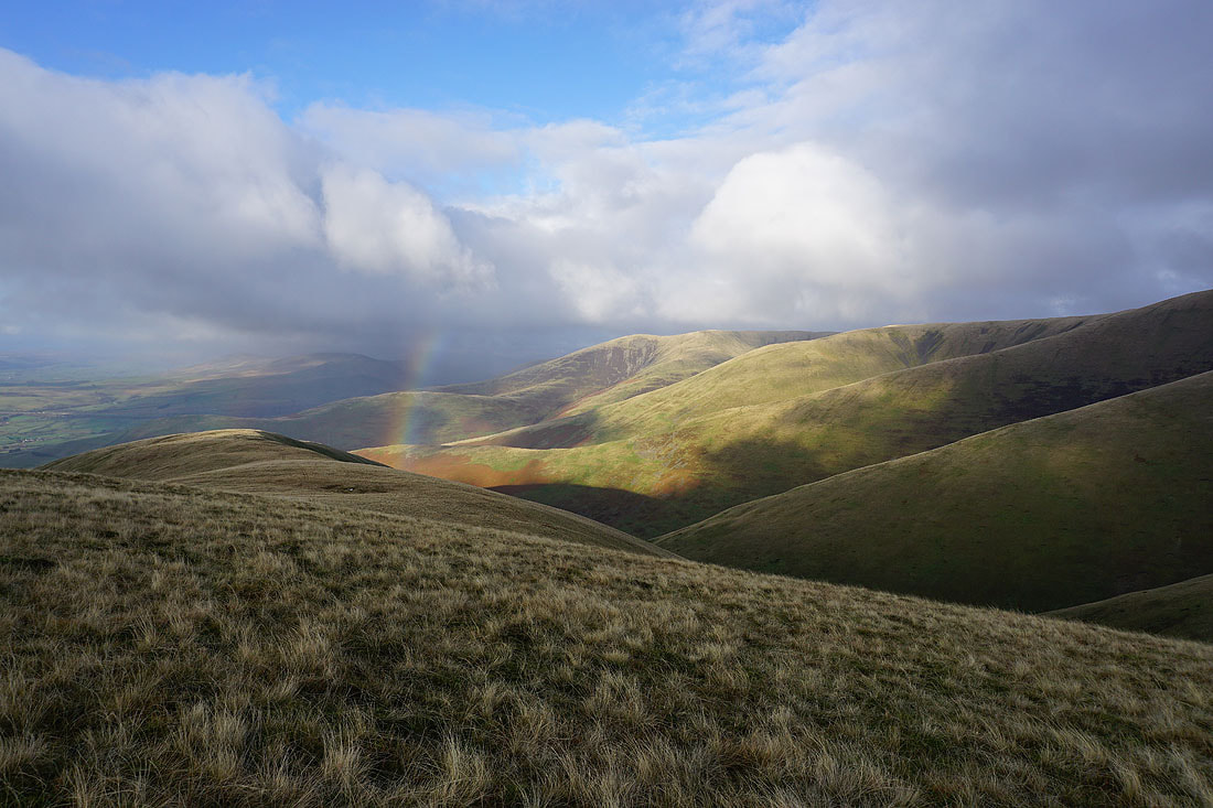
It looks like a shower is approaching as I leave Arant Haw. It was brief and quite light, but as it cleared it left behind some dramatic skies with sunshine and a rainbow...
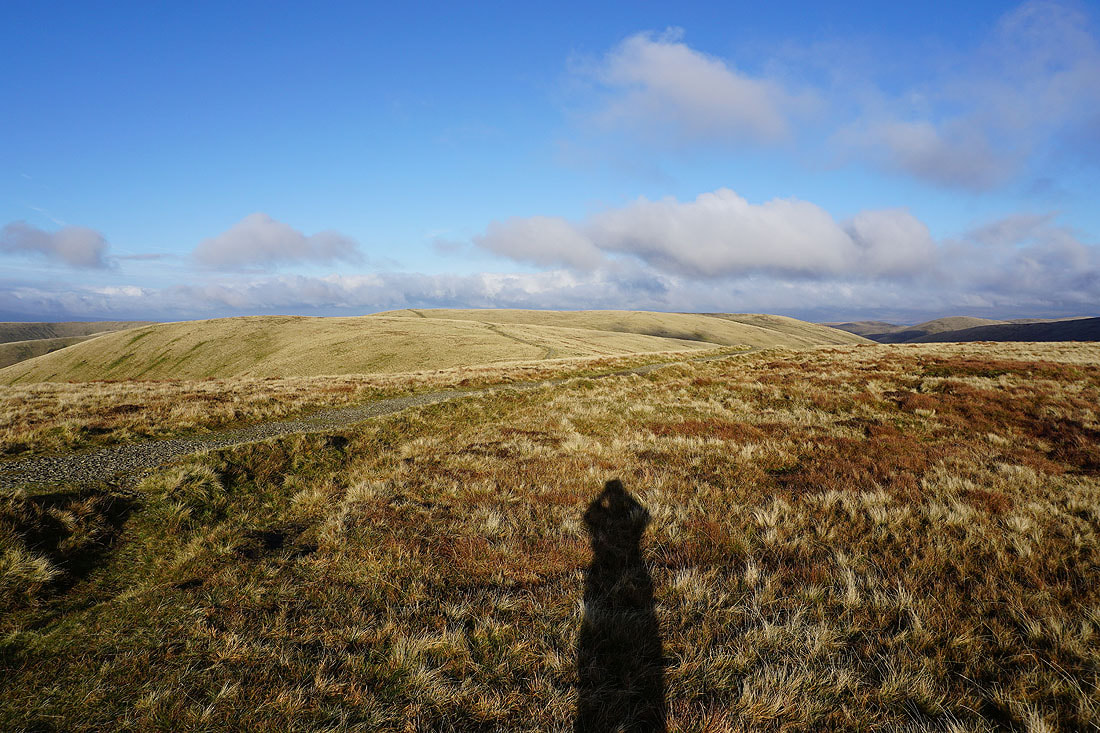
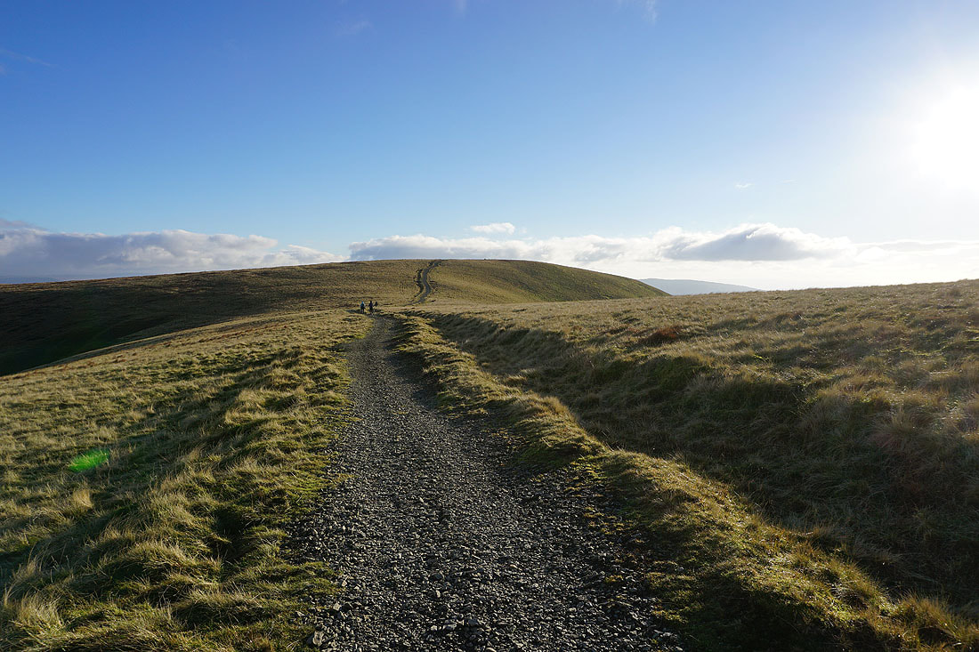
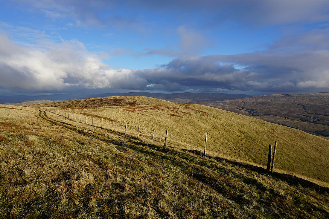
Making my way across Rowantree Grains to Calders
Passing the sheepfold on Rowantree Grains, which I remember being much more substantial when I first passed this way many years ago
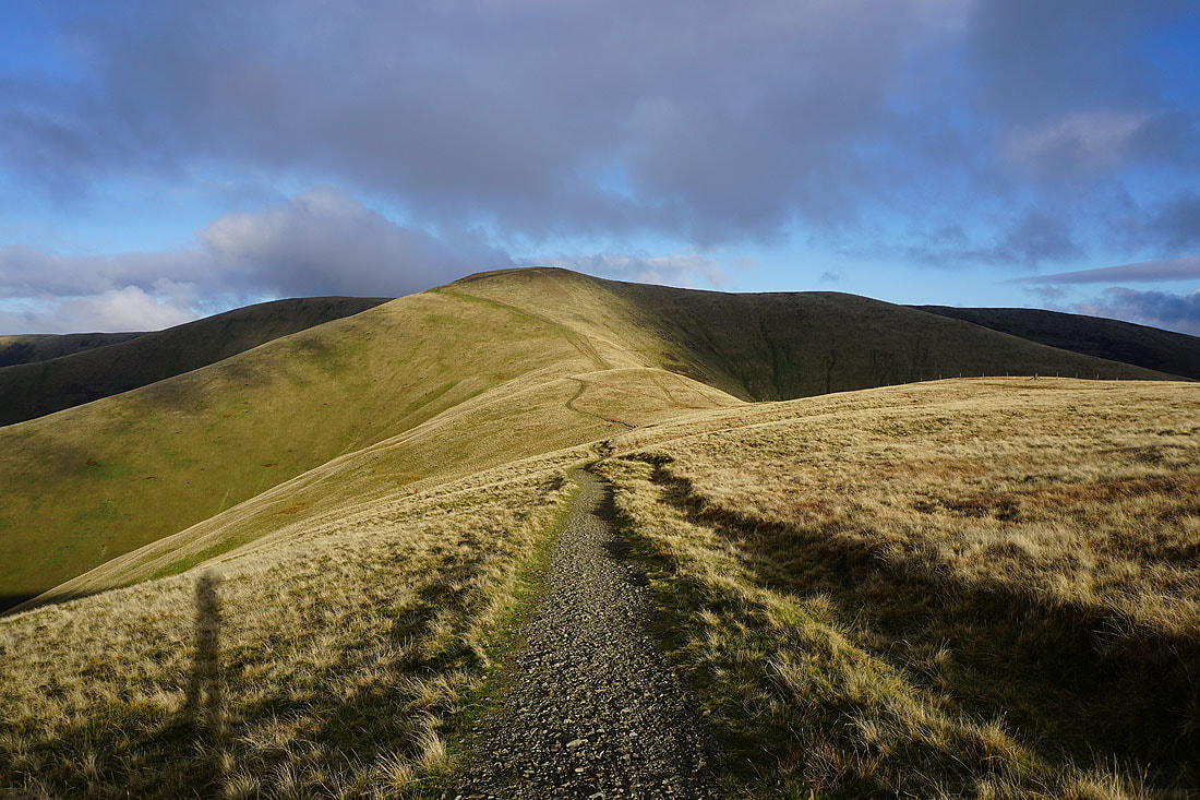
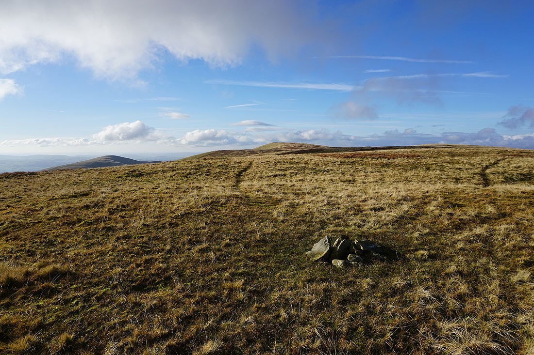
Looking back to Arant Haw as I approach the top of Calders
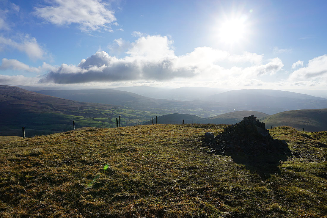
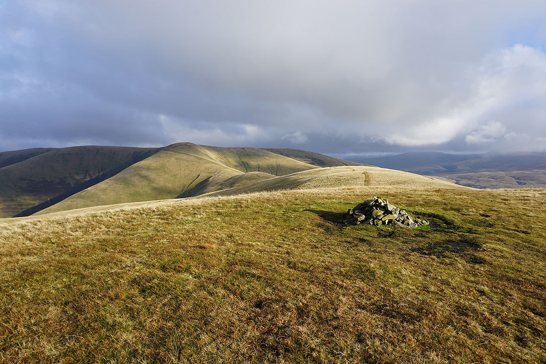
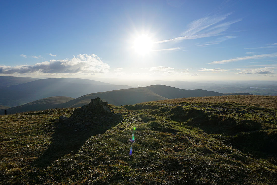
At the summit cairn on Calders. Hopefully the rest of the day will have as much blue sky and sunshine as there is now.
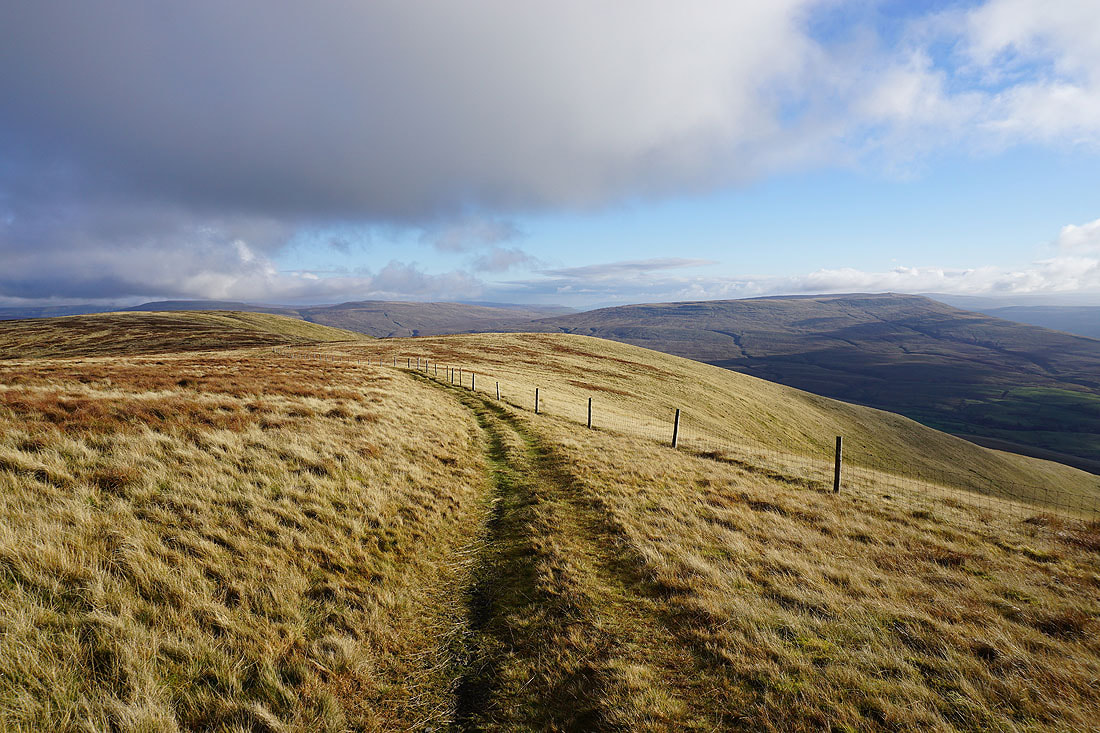
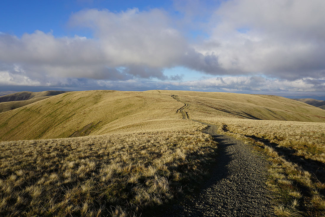
Bram Rigg Top and The Calf, along with Calders, make up the high central plateau of the Howgills
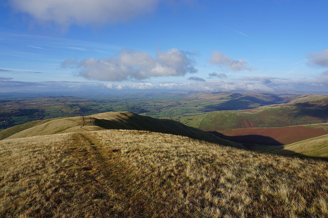
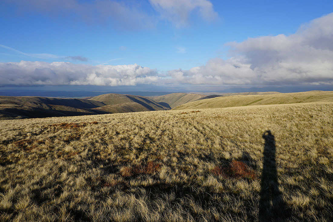
Lots of ridges descending from the neighbouring fells into Lunesdale, with the Lake District fells in the distance
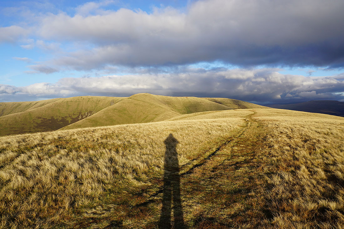
Wild Boar Fell, Swarth Fell and Baugh Fell in the distance as I leave Calders and head for the grassy mound of Great Dummacks
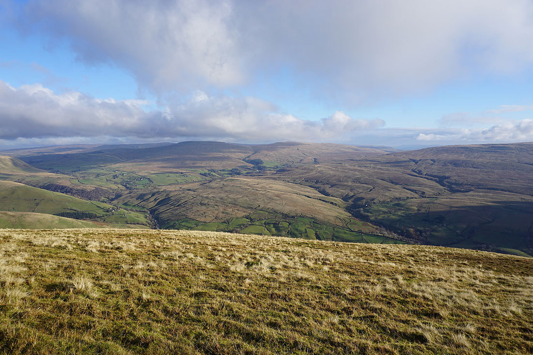
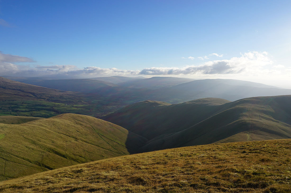
There's a great view from the top of Middle Tongue across the Rawthey valley to Aye Gill Pike, Whernside, Ingleborough, Great Coum and Middleton Fell
Arant Haw and Calders from Great Dummacks
Looking southeast to Baugh Fell, Aye Gill Pike, Whernside, Ingleborough and Great Coum
Wild Boar Fell and Swarth Fell on the other side of the valley of the River Rawthey
Aye Gill Pike, Whernside, Ingleborough, Great Coum and Middleton Fell to the south
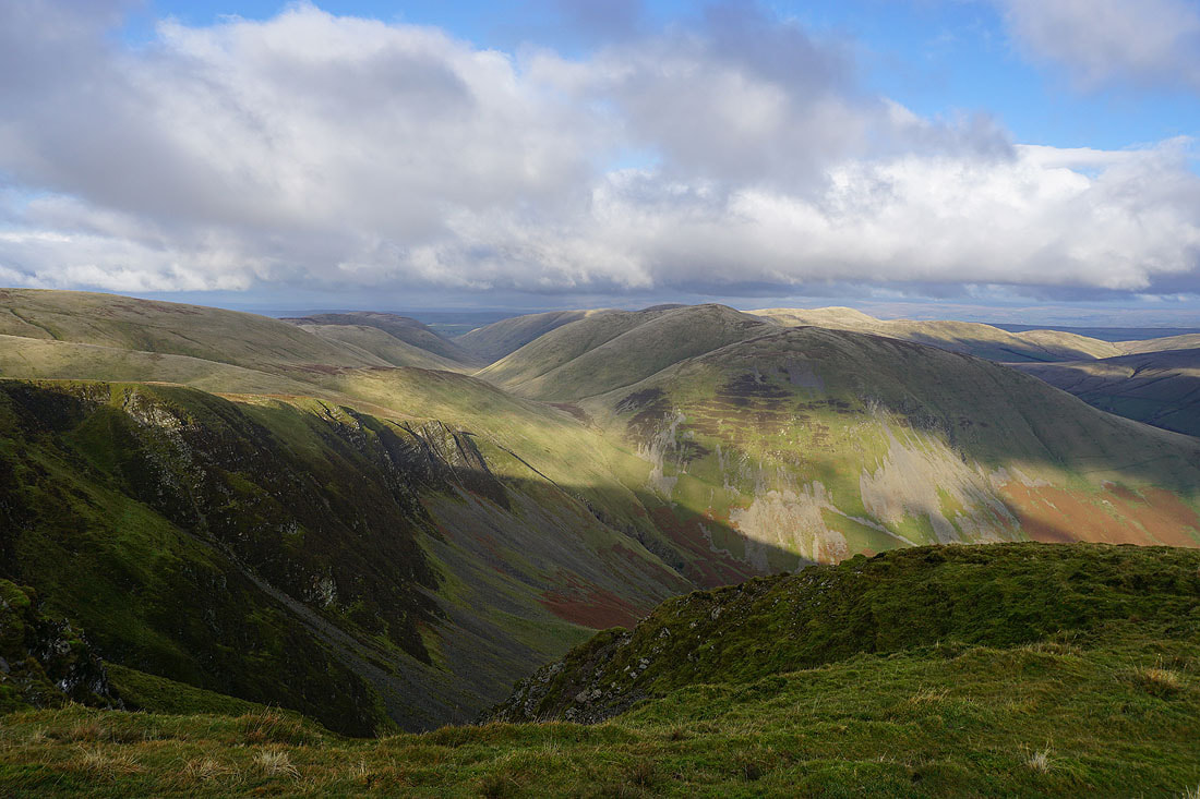
I've made my way to the top of Cautley Crag to take in the view. Looking north to Yarlside..
..and east to Wild Boar Fell and Swarth Fell
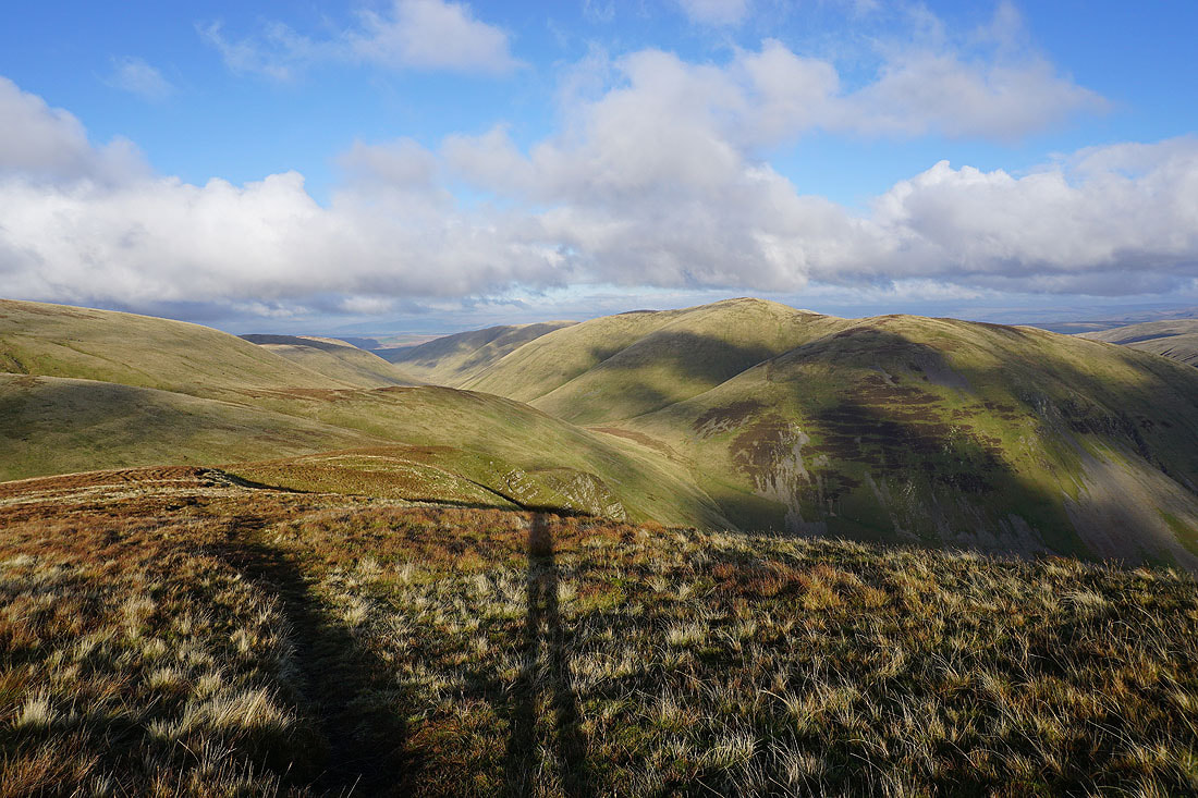
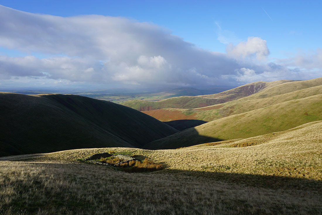
I follow the edge of the crag north, and then descend to the sheepfold by Red Gill Beck..
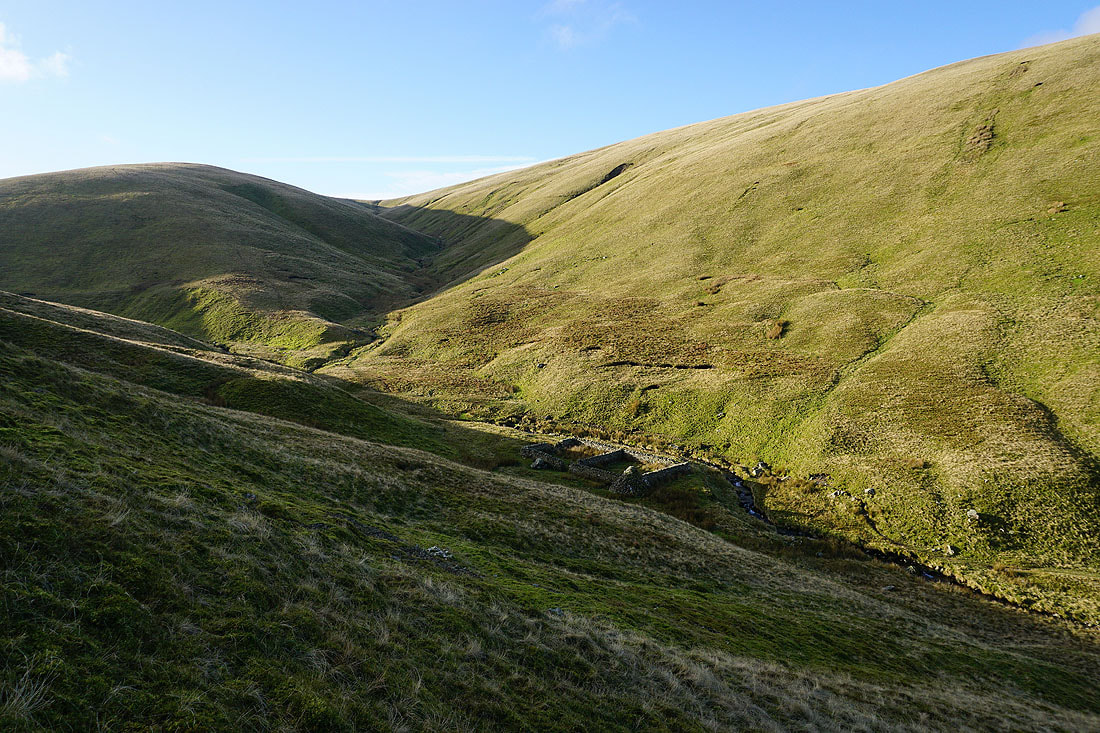
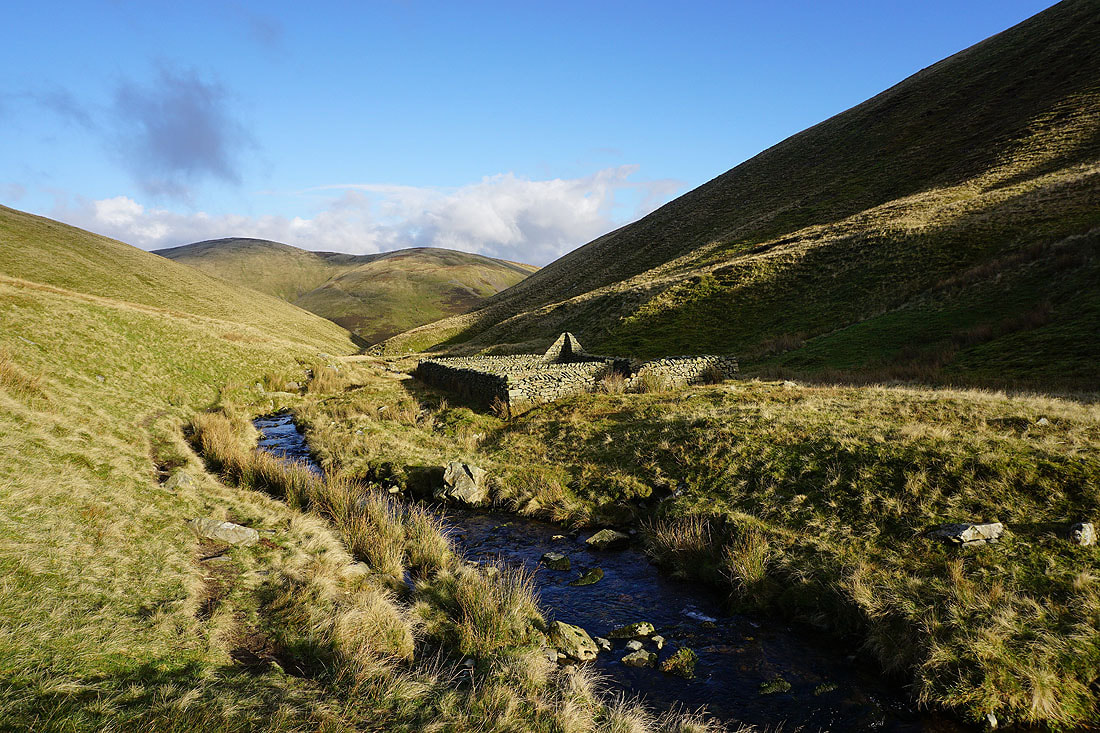
The Andy Goldsworthy sheepfold by Red Gill Beck. A good place to stop for lunch.
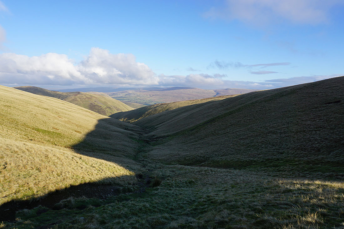
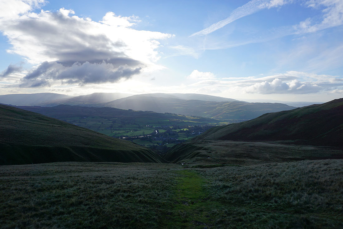
Looking back down Force Gill Beck as I reach its top
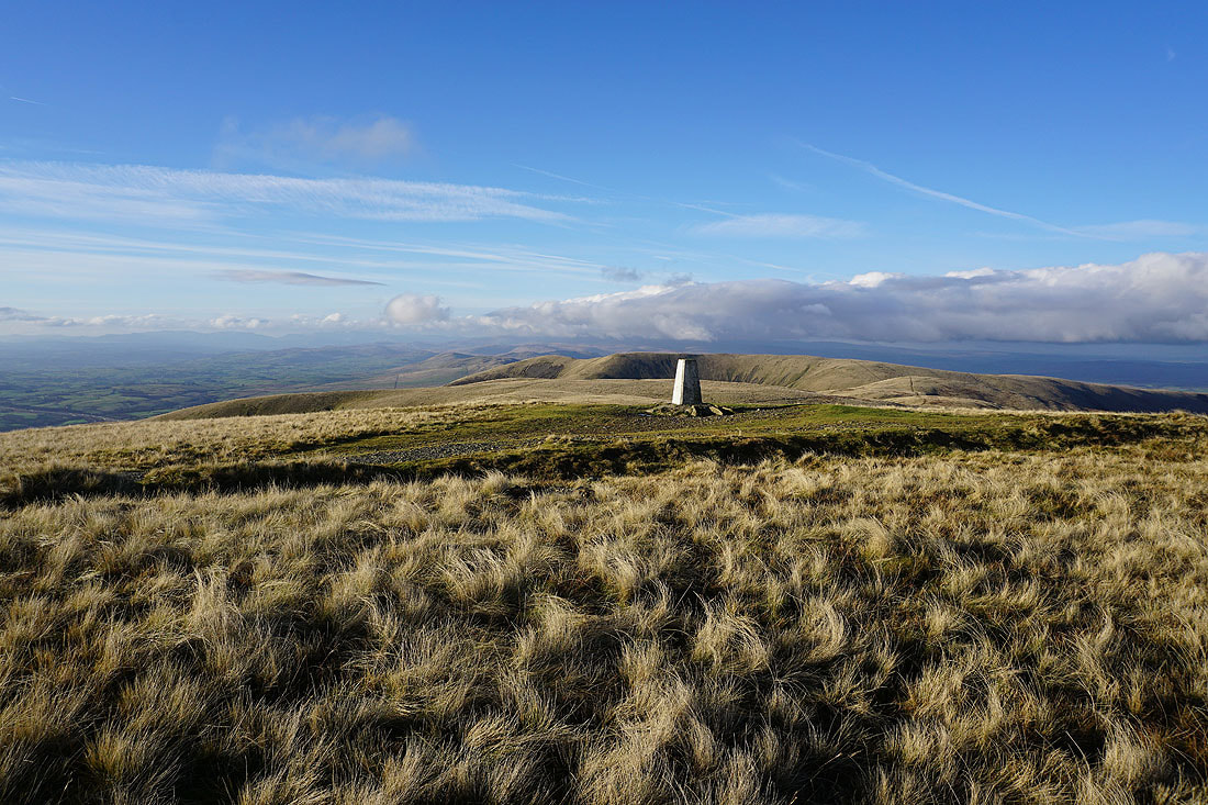
At the trig point on The Calf. There's a fantastic view from here, which makes it a great place to be when the weather is like this.
Penyghent, Whernside, Ingleborough, Great Coum and Middleton Fell beyond the nearby Calders and Bram Rigg Top
Morecambe Bay to the southwest
A great view of the Lake District fells to the west, although the higher eastern and far eastern ones are under cloud
The rounded dome of Simon's Seat and the other fells around Langdale
The cloud topped North Pennines on the other side of the Eden Valley
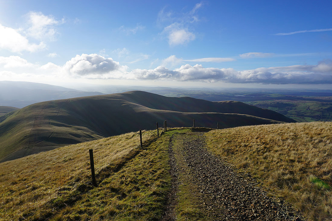
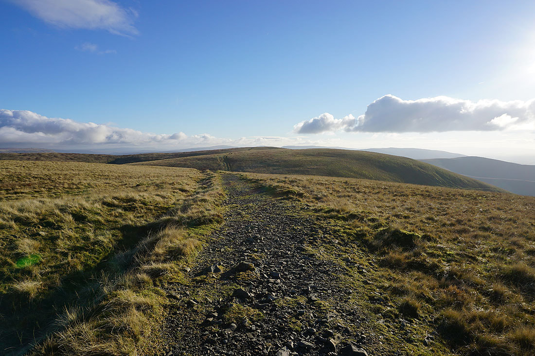
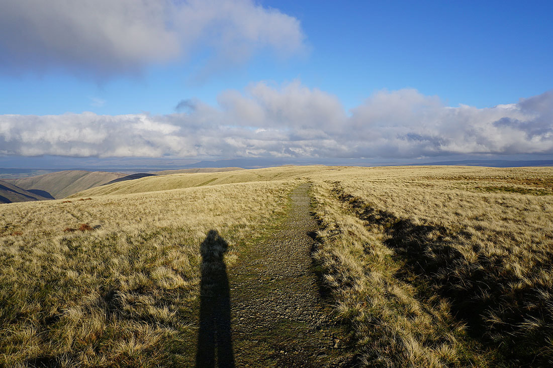
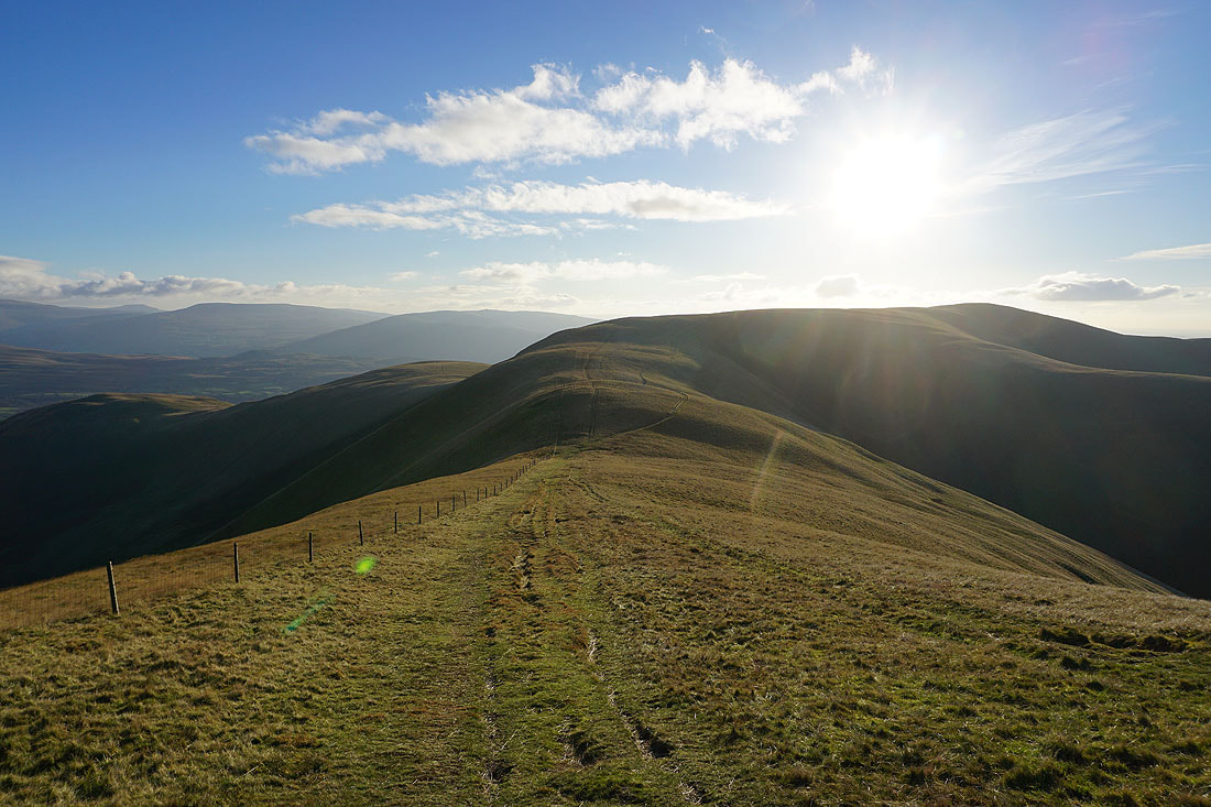
On the bridleway back to Calders
Yarlside and the northern slopes of Great Dummacks to my left
Looking back to Bram Rigg Top and The Calf
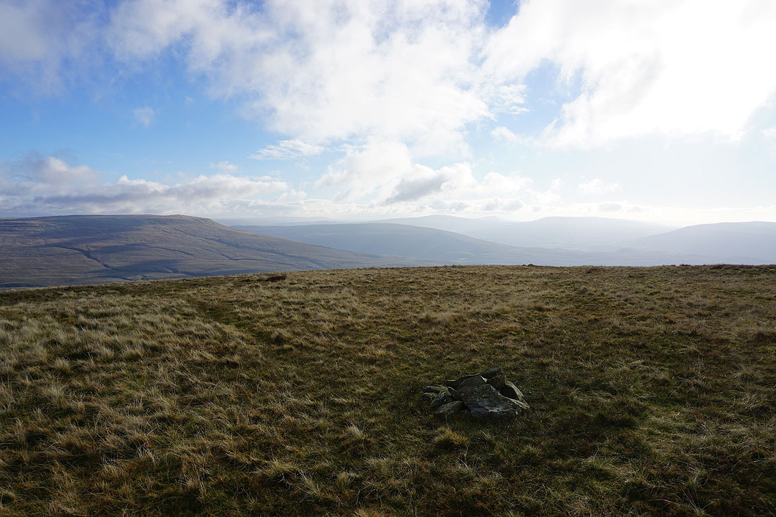
Middleton Fell and Arant Haw as I arrive back at the summit cairn on Calders
Looking across the Rawthey Valley to Aye Gill Pike, Whernside, Ingleborough, Great Coum and Middleton Fell
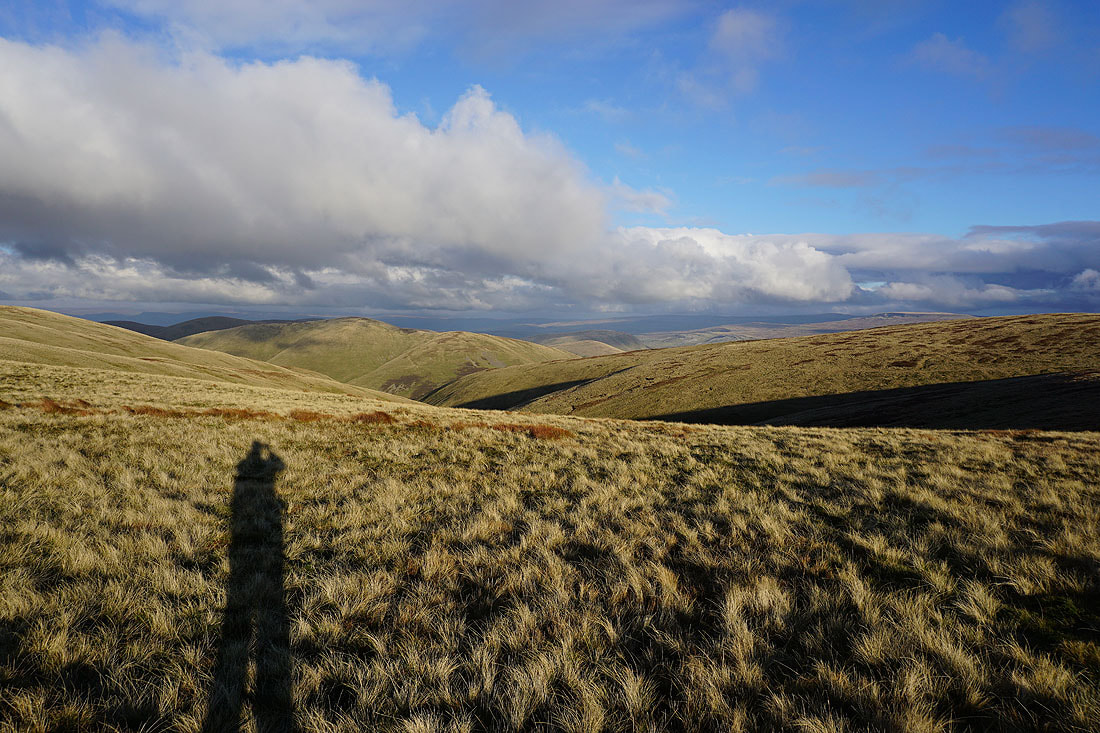
Lots of Howgills ridges descending into Lunesdale, with the Lake District fells in the distance
Great Dummacks, Wild Boar Fell and Swarth Fell
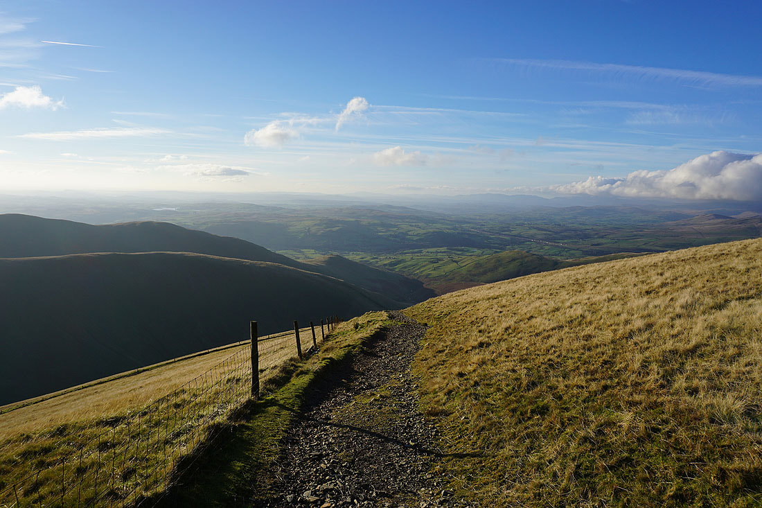
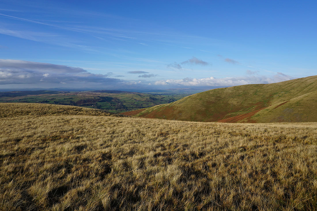
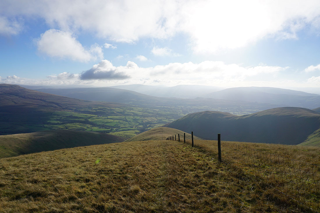
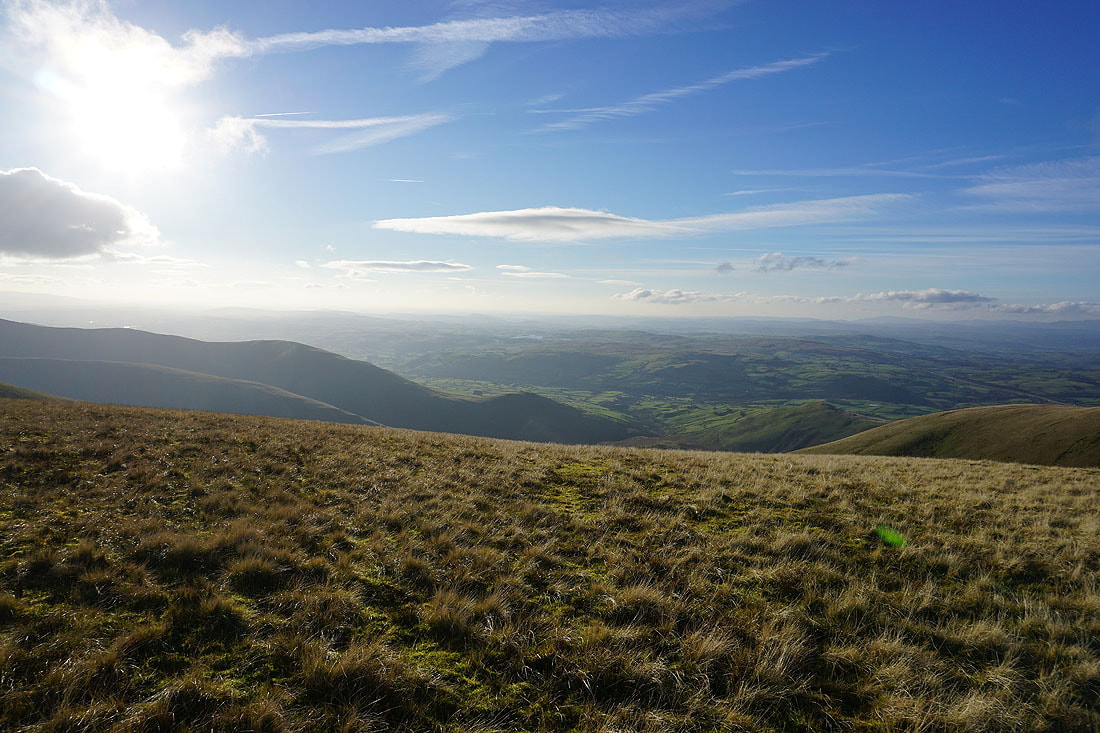
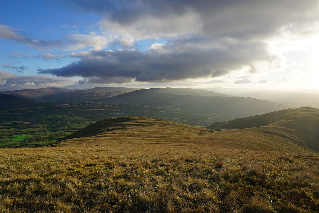
Taking the bridleway down from Calders and I couldn't help but stop to take another photo of the view to the west across Lunesdale..
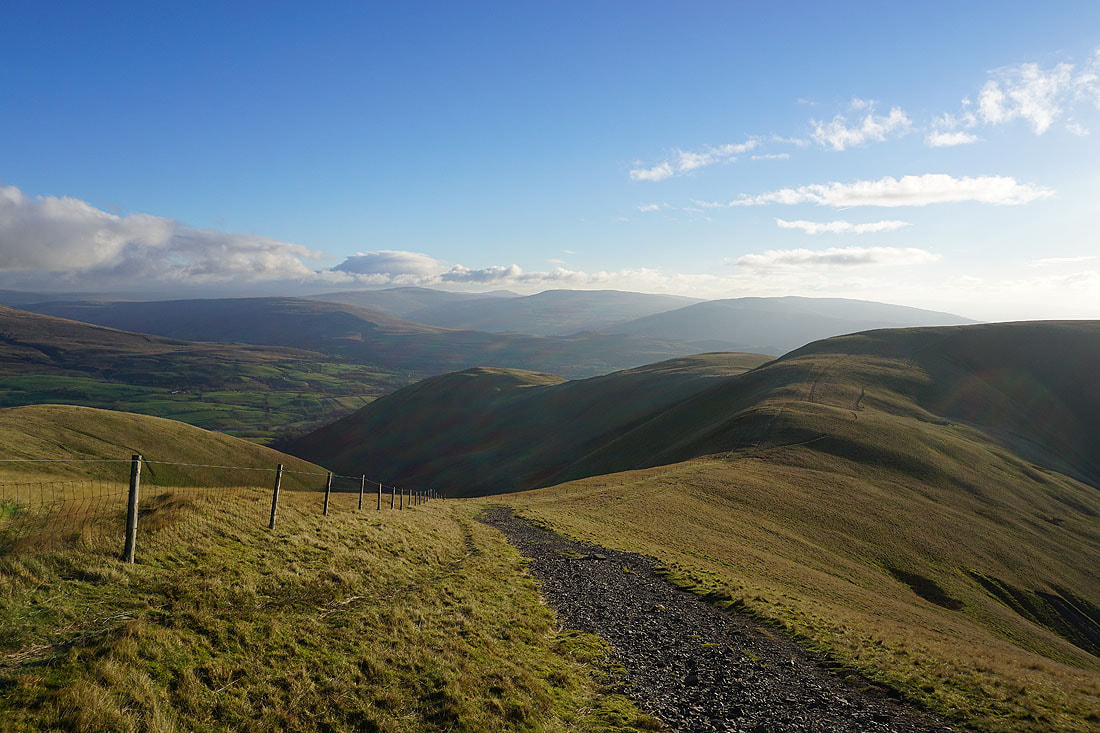
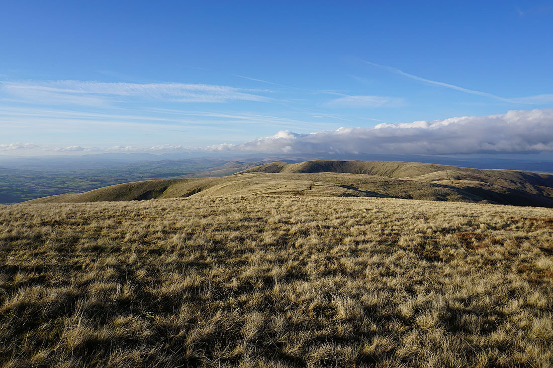
Following the bridleway across Rowantree Grains to Arant Haw..
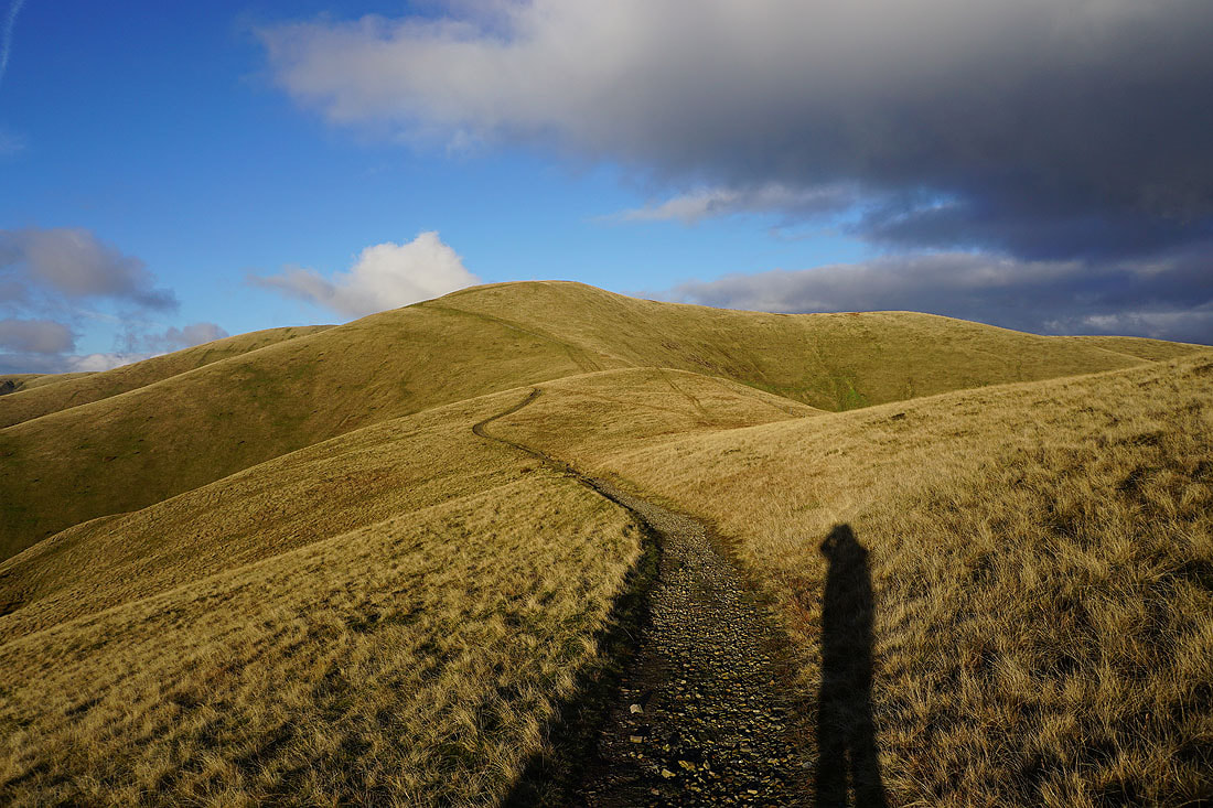
Looking back to Calders
and again from Arant Haw
The Lake District fells to the west
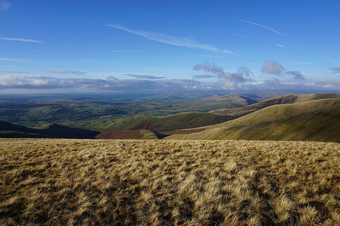
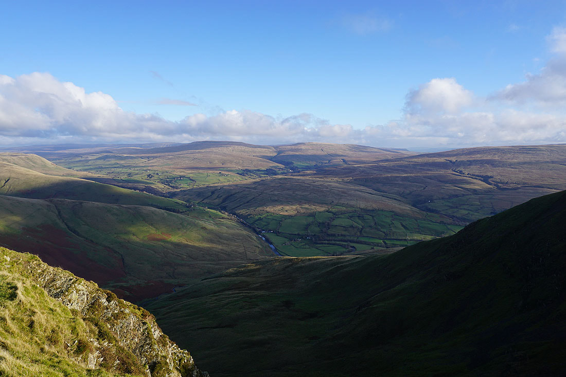
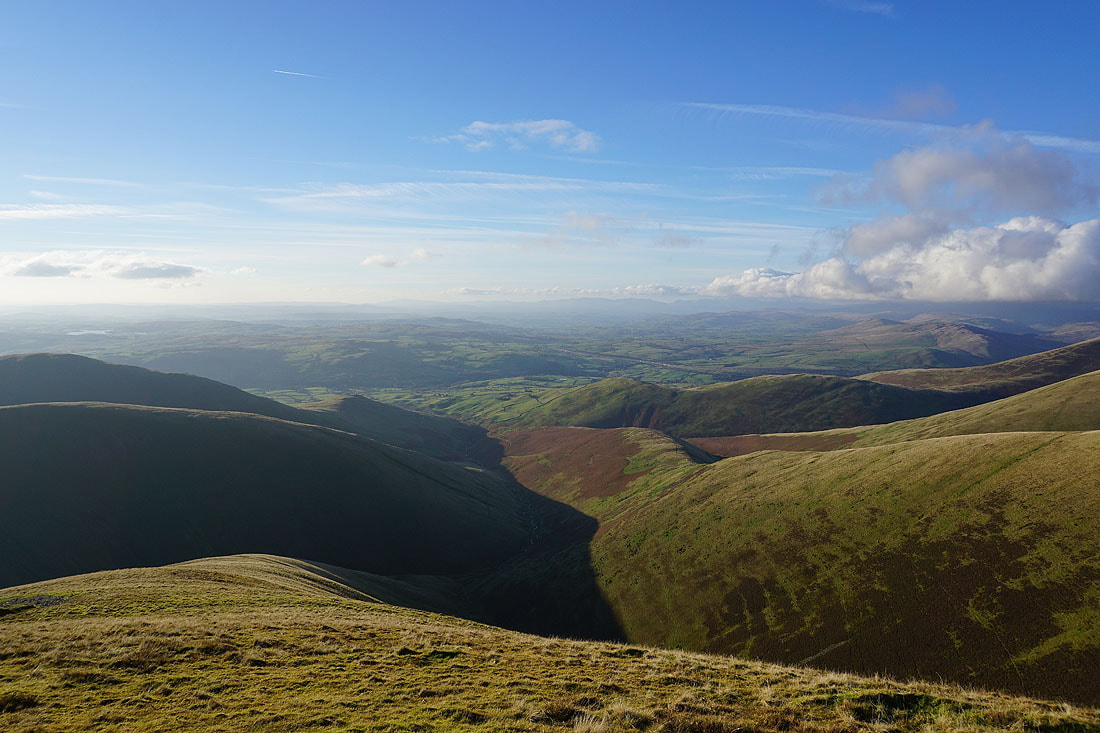
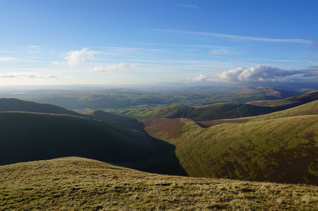
Looking across the Rawthey valley to Whernside, Ingleborough, Great Coum and Middleton Fell, with the fell of Crook below
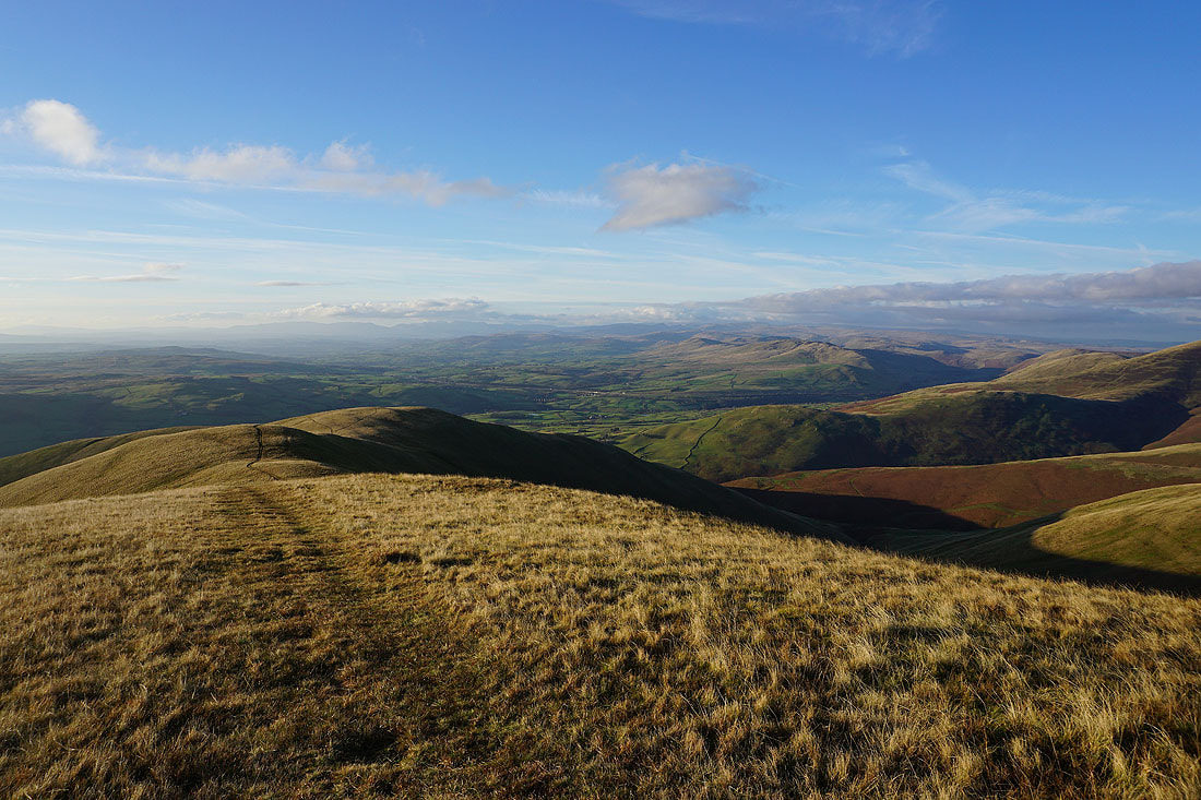
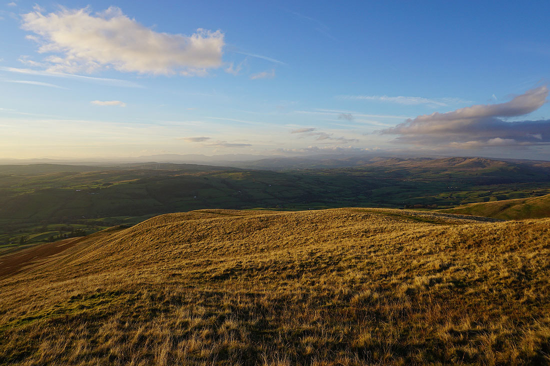
Winder and Lunesdale. The patch of water is Killington Reservoir.
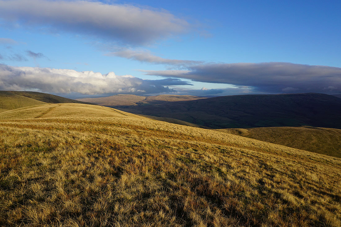
Wild Boar Fell and Swarth Fell in sunshine
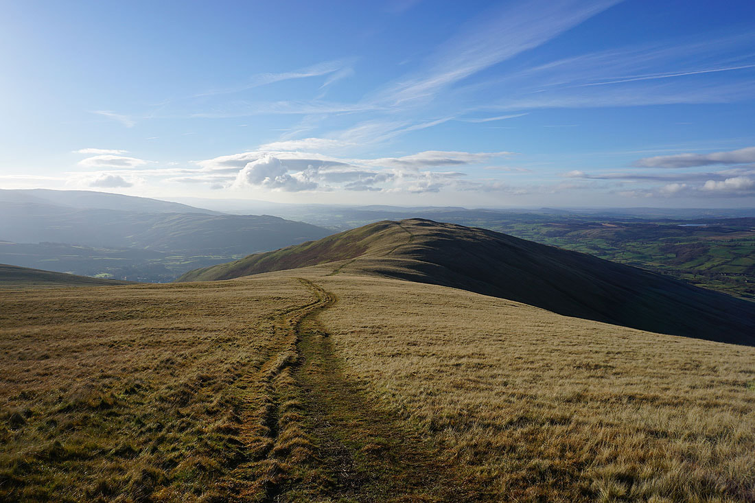
Heading for Winder
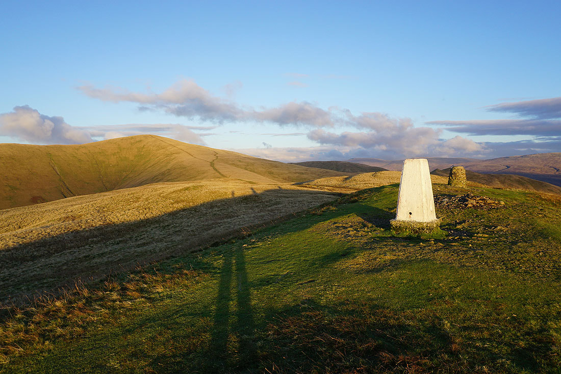
At the toposcope and trig point on Winder
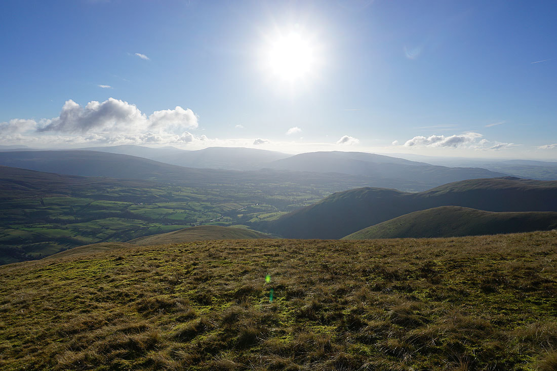
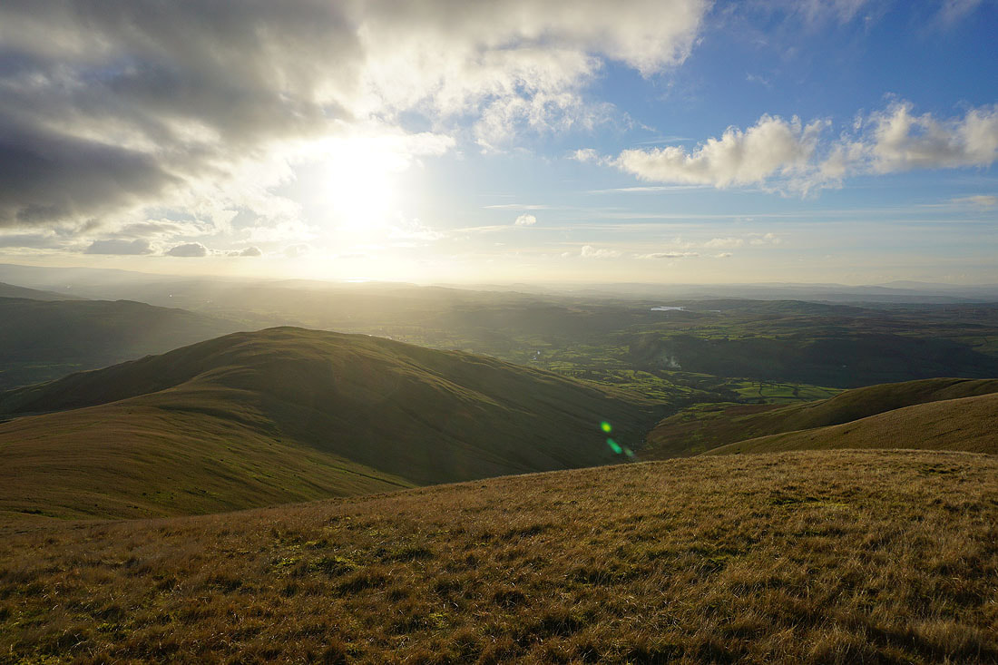
There's a lovely light as the sun starts to set for taking in the view across Lunesdale to the Lake District fells
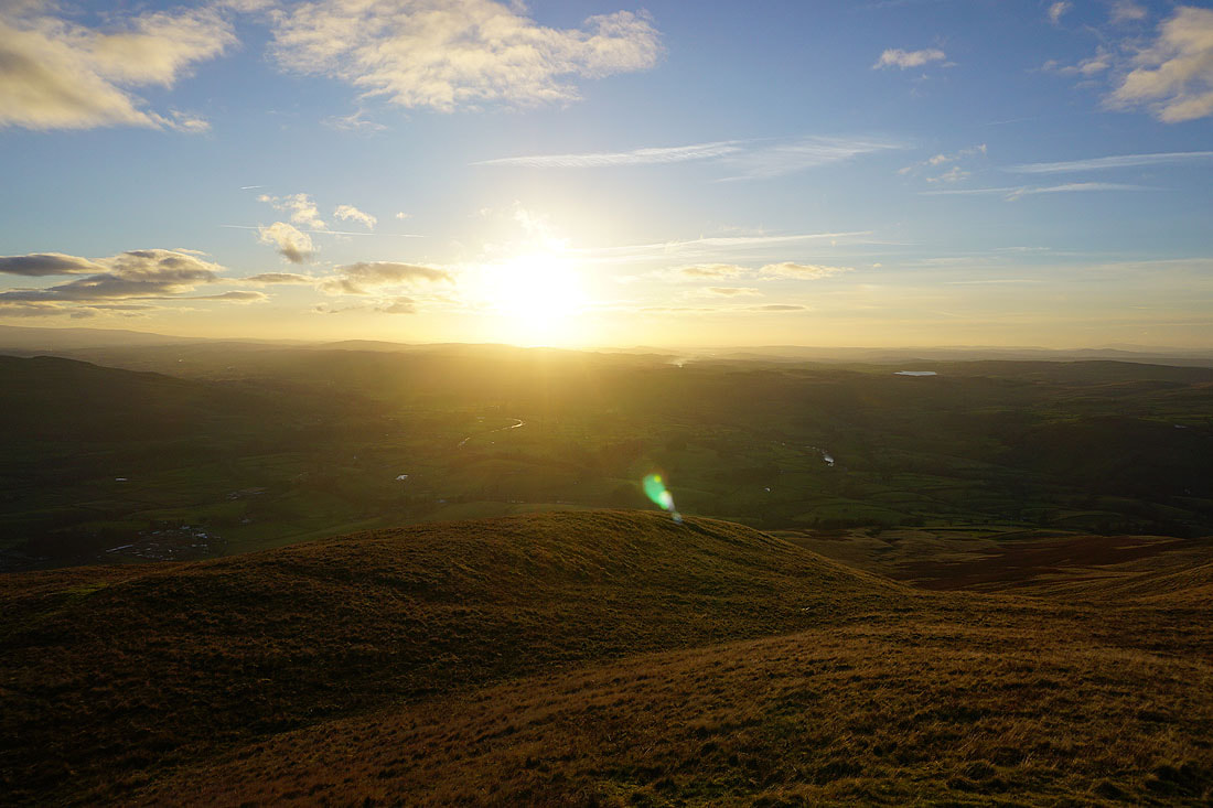
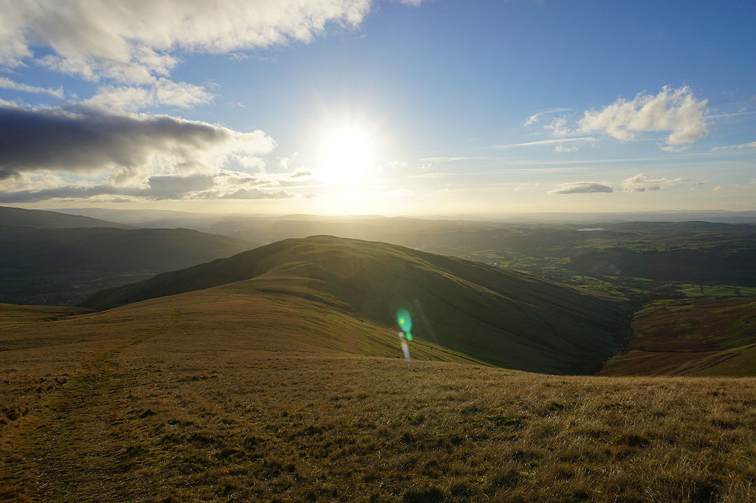
The sun starts to set over the Irish Sea
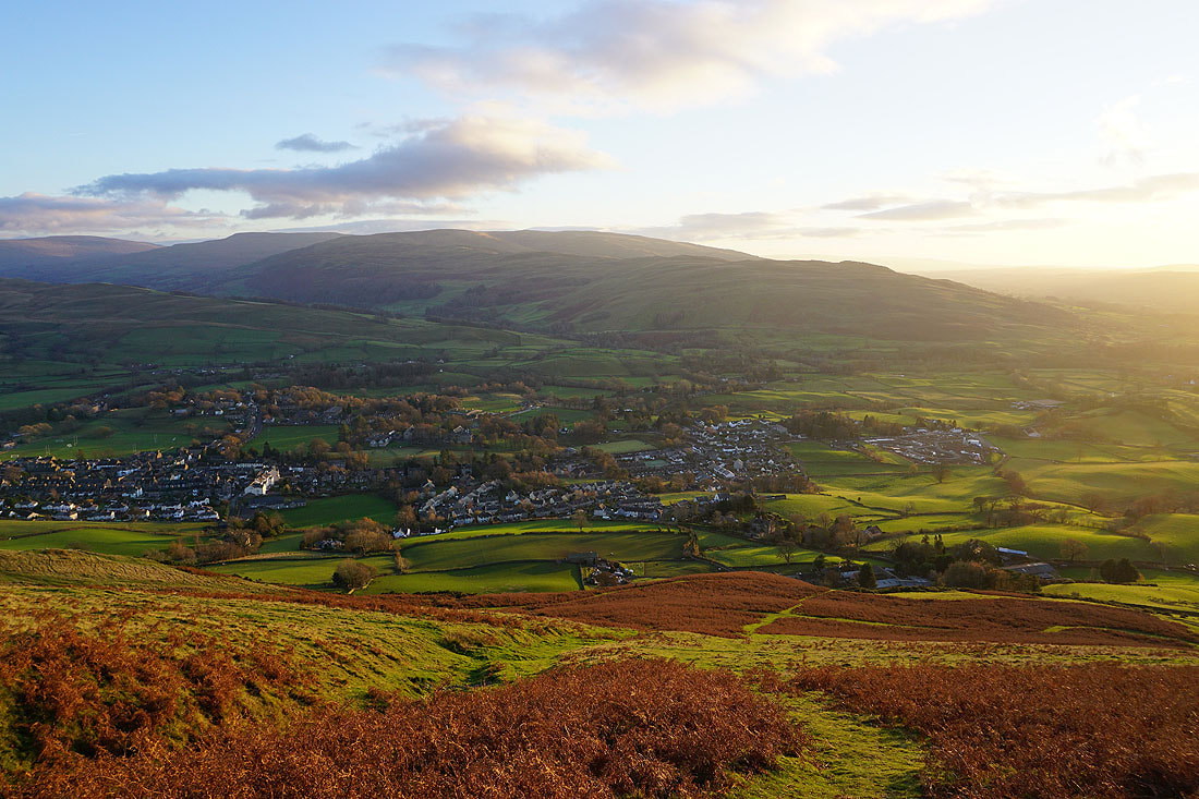
A steep descent to Sedbergh
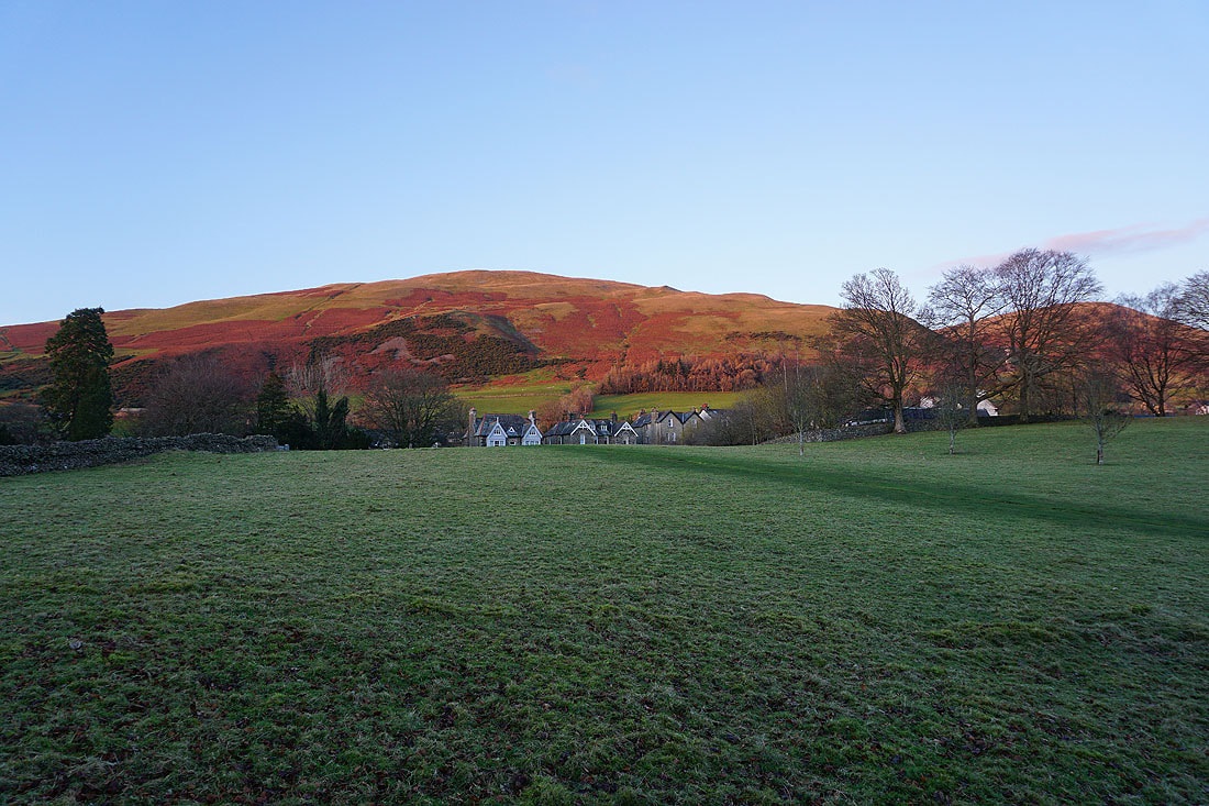
The last of the light on Winder as I follow the public footpath through the grounds of Sedbergh School..