3rd February 2015 - Middleton Fell
Walk Details
Distance walked: 7.5 miles
Total ascent: 2127 ft
OS map used: OL2 - Yorkshire Dales, Southern & Western areas
Time taken: 5.5 hrs
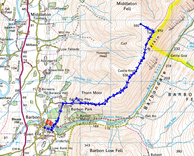
Route description: Barbon-Eskholme-Eskholme Pike-Castle Knott-Calf Top-Castle Knott-Eskholme Pike-Eskholme-Barbon
The fine, cold spell of weather is forecast to last for a while yet and with lighter winds than there were at the weekend I decided to do a walk today that included a summit. This lonely outpost on the western edge of the Yorkshire Dales has become one of favourites since I first paid it a visit in 2010. On the right day there is a great all round view and if you like a bit of solitude this is the place to go. I can probably still use my fingers to count the number of people I've met up there on my visits. I set off in gloriously sunny weather and it stayed that way for the climb to the top. However, while I was up there the cloud and wind increased so that my return was done in cloudy skies and a cold wind.
From Barbon I made my way past the church of St. Bartholomew's and then left to follow the track over Barbon Beck. A footpath leaves the track to head for Eskholme and then I walked uphill to reach a gate in the intake wall and access land. I then made my way to the summit of Middleton Fell, Calf Top, via Eskholme Pike and Castle Knott. While I was up there I paid the stone man at the western end of the summit ridge a visit. I simply reversed my route to head back.
Route map
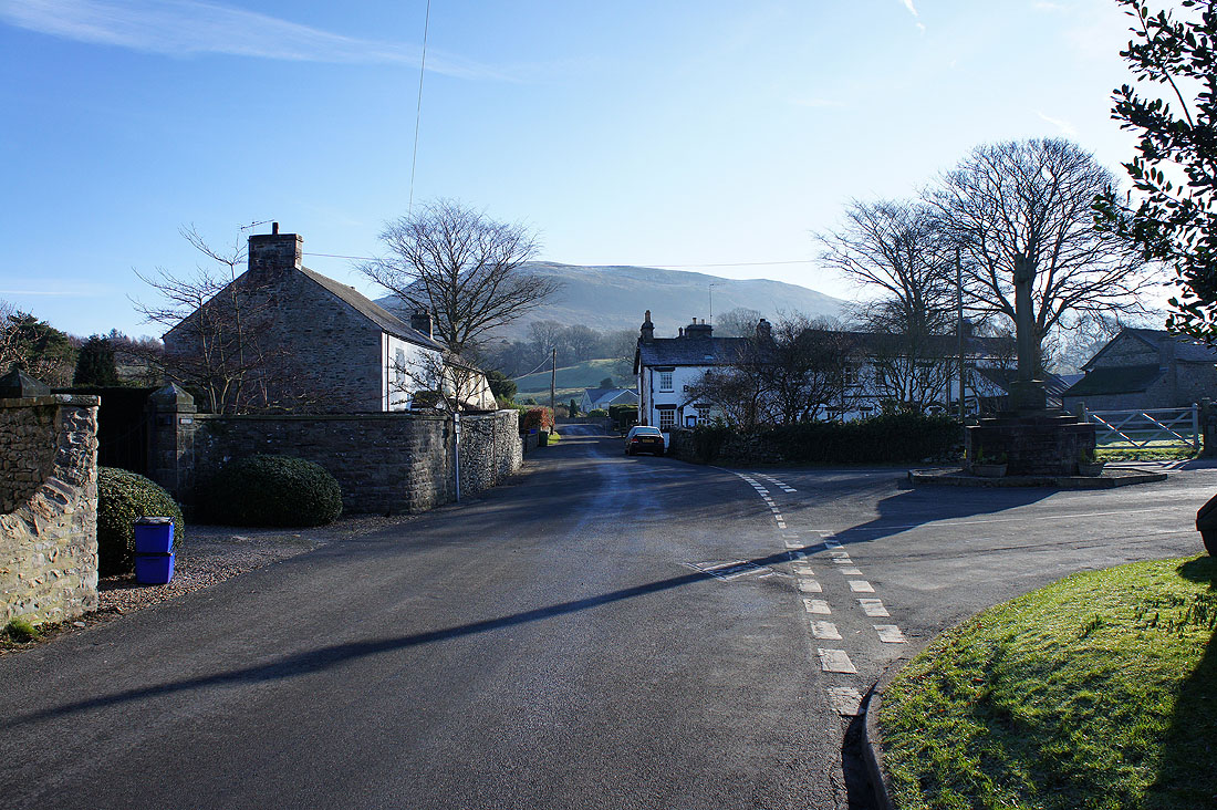
A sunny start to the day as I make my way through Barbon
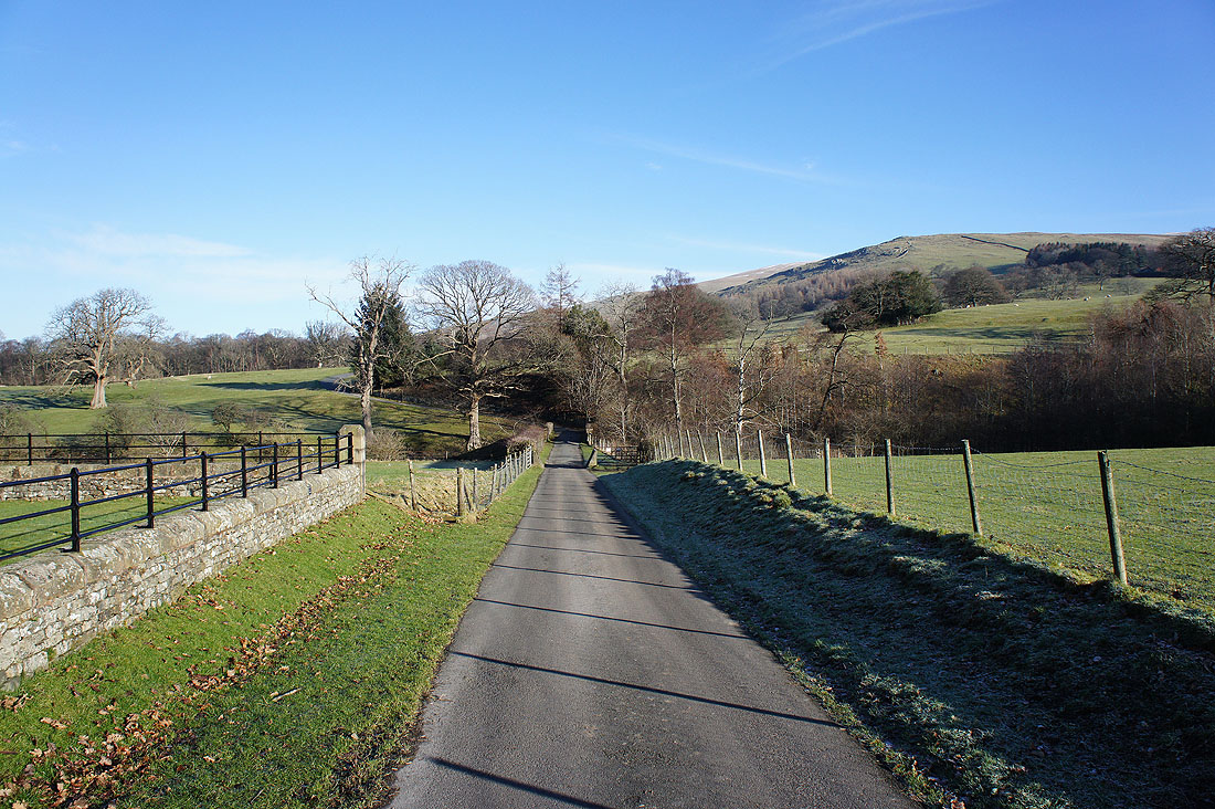
On the track to Barbon Manor. That's Eskholme Pike up on the right, my first port of call.
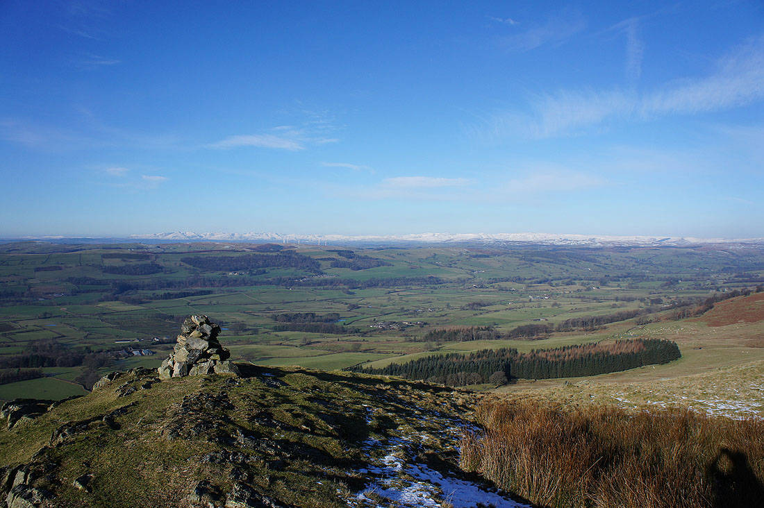
On Eskholme Pike
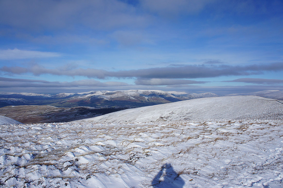
There's a fantastic view from here this morning, looking across the Lune valley to a long line of snow covered Lake District fells
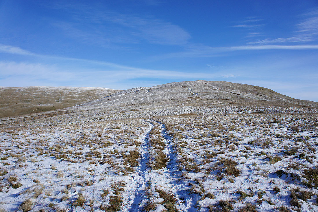
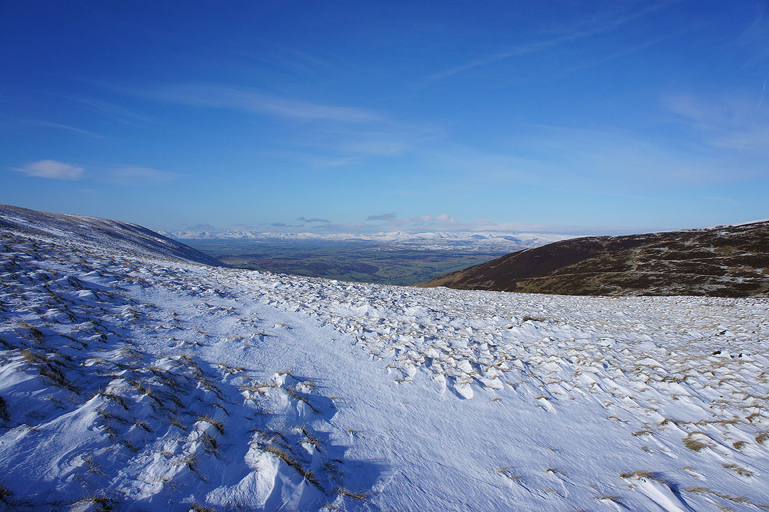
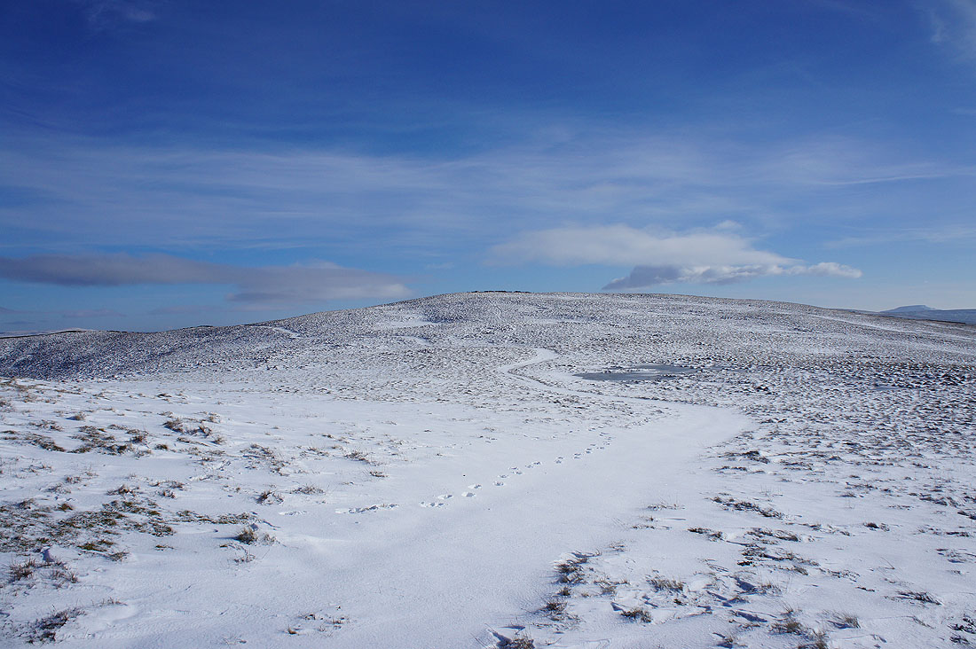
Up into the snow as I head for Castle Knott
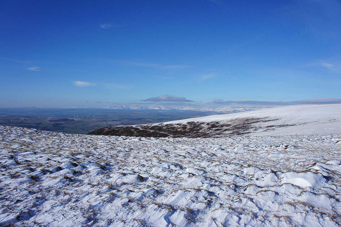
A couple of shots from the top of Castle Knott. The Lake District fells beyond the broad western ridge of the fell.
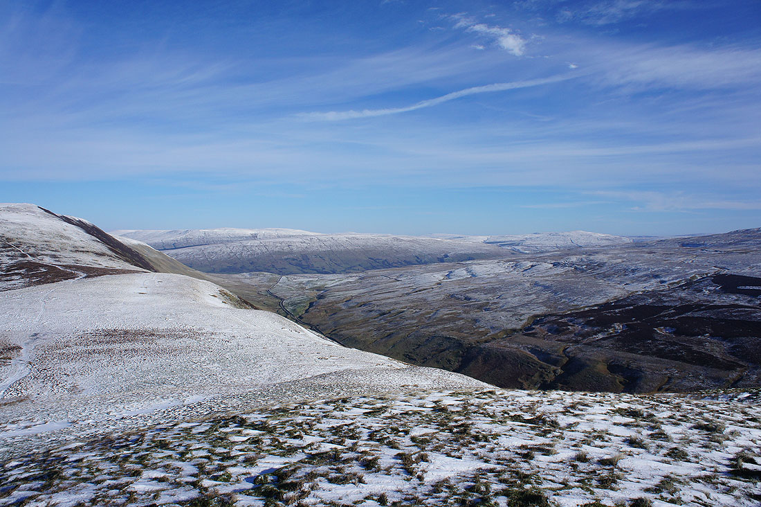
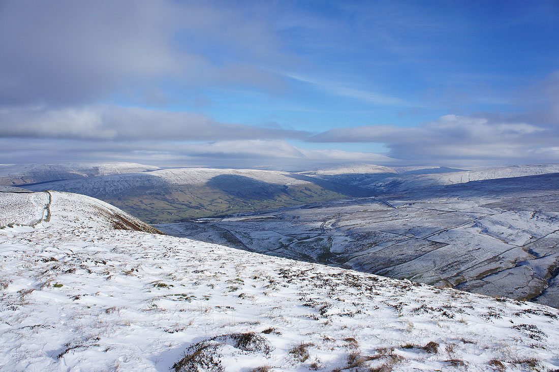
Baugh Fell, Aye Gill Pike, Dentdale and Great Knoutberry Hill. The slope to the right drops away into Barbondale.
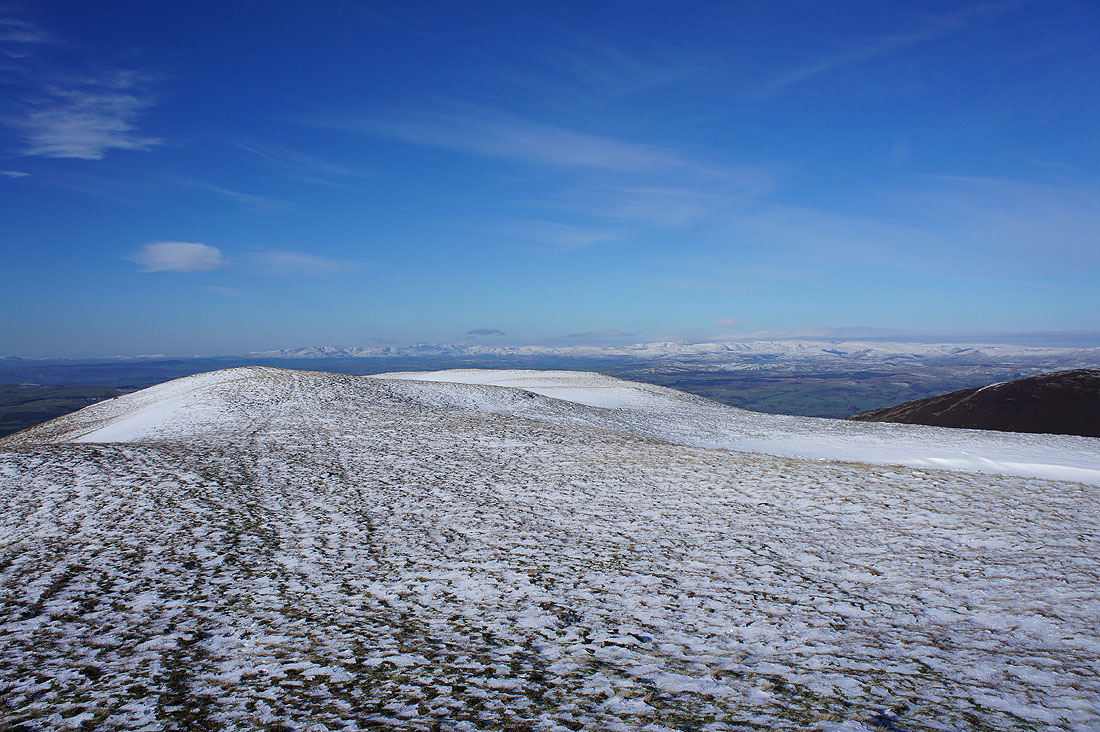
Wind sculpted snow does make an interesting subject for a picture..
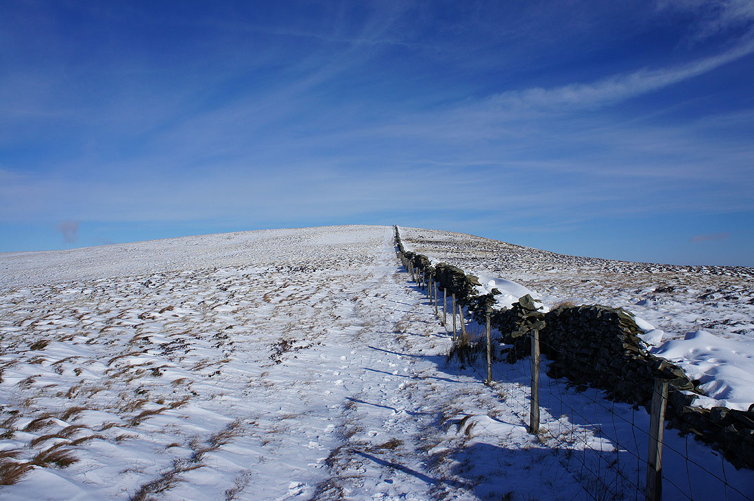
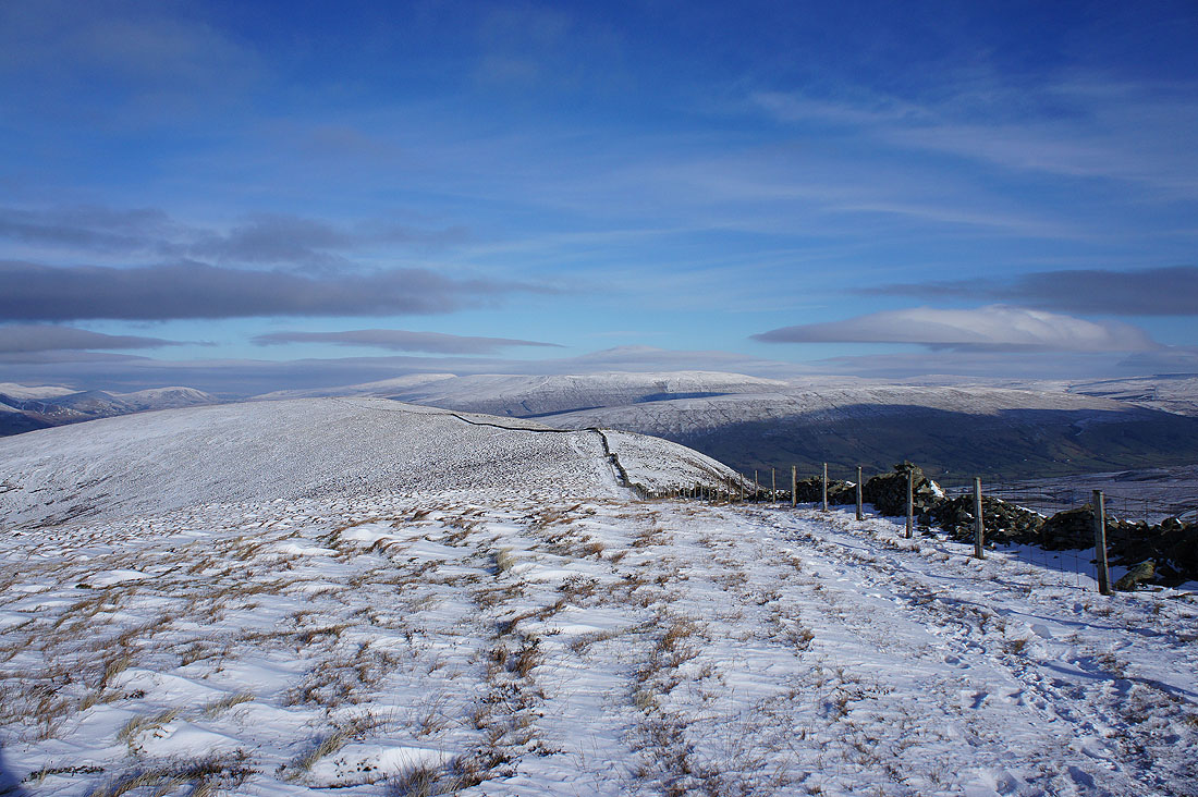
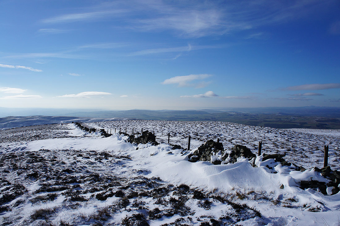
A wall joins me for the final climb to the summit
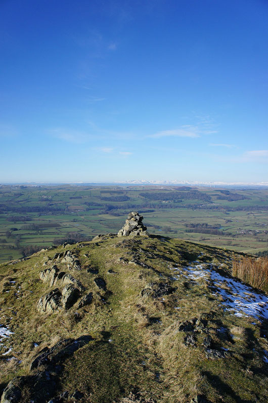
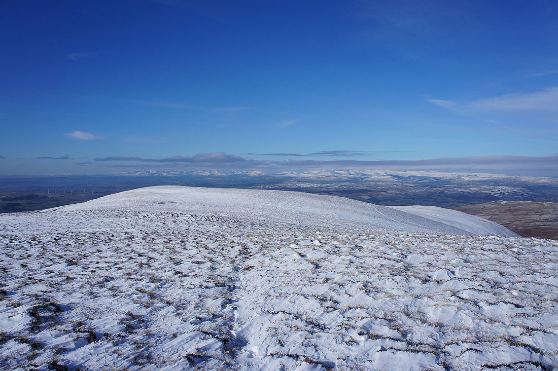
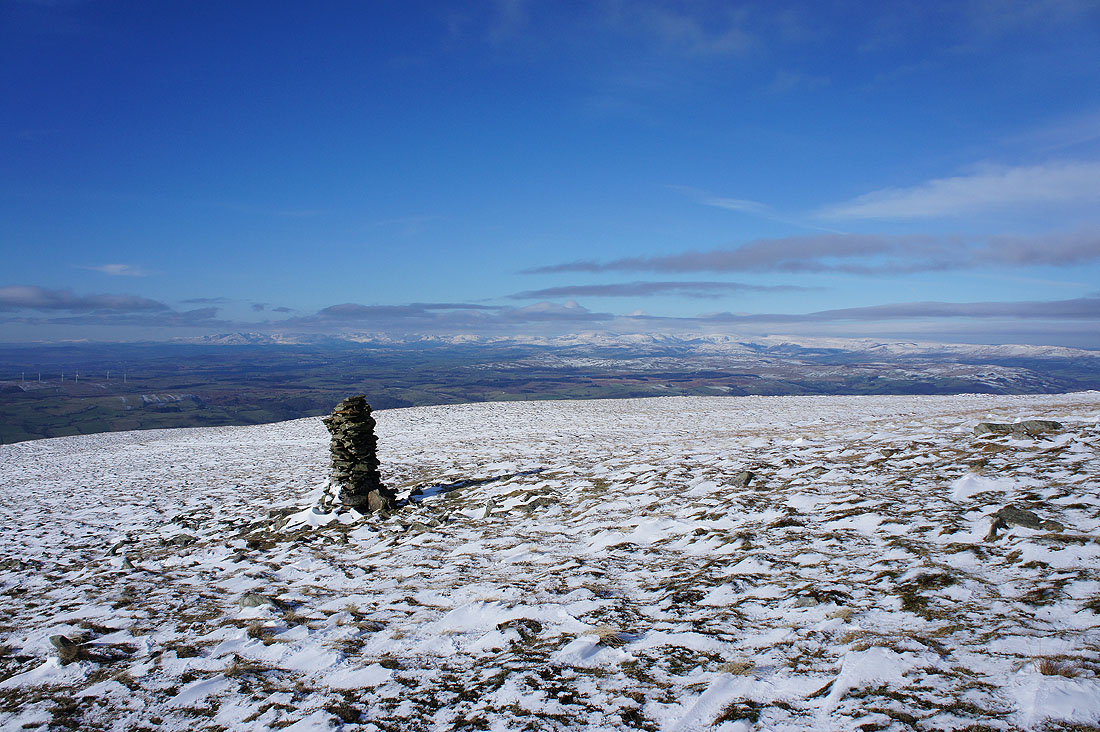
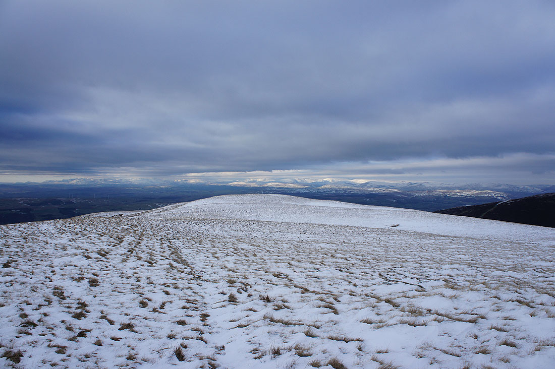
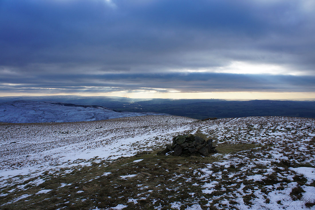
On Calf Top, the summit of Middleton Fell. There's a great view from here, especially on a day like today. A long line of Lake District fells in the distance as I head for the stone man at the western end of its ridge.
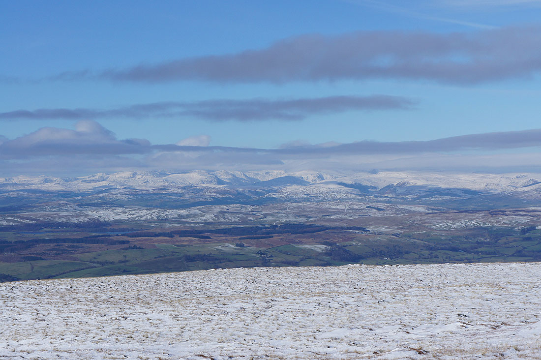
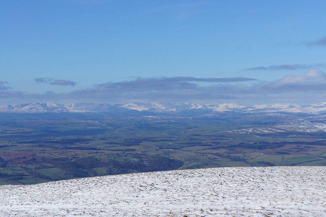
Made it. I'm going to zoom in on the Lakeland fells and take a couple of pictures.
The eastern and far eastern fells. The summits have become covered in cloud but I could make out Rainsborrow Crag on Yoke above Kentmere and Goat Scar above Longsleddale.
The Coniston fells on the left, the Crinkle Crags and Bowfell under cloud and the Langdale Pikes
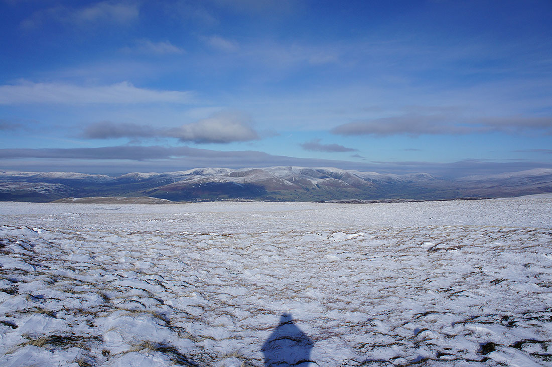
A great view of the Howgills..
..as I head back to the summit
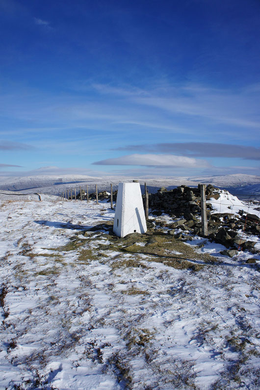
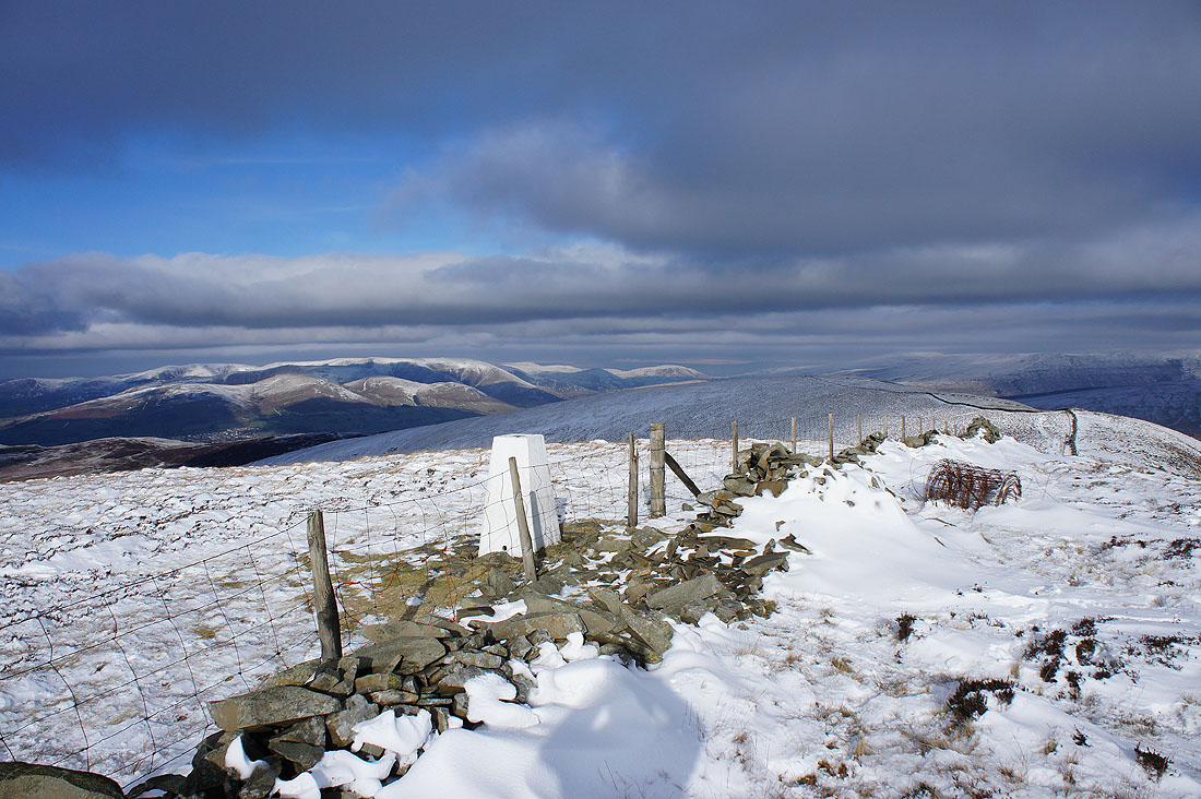
The trig point on the summit of Middleton Fell
Views from the summit. The Howgills.
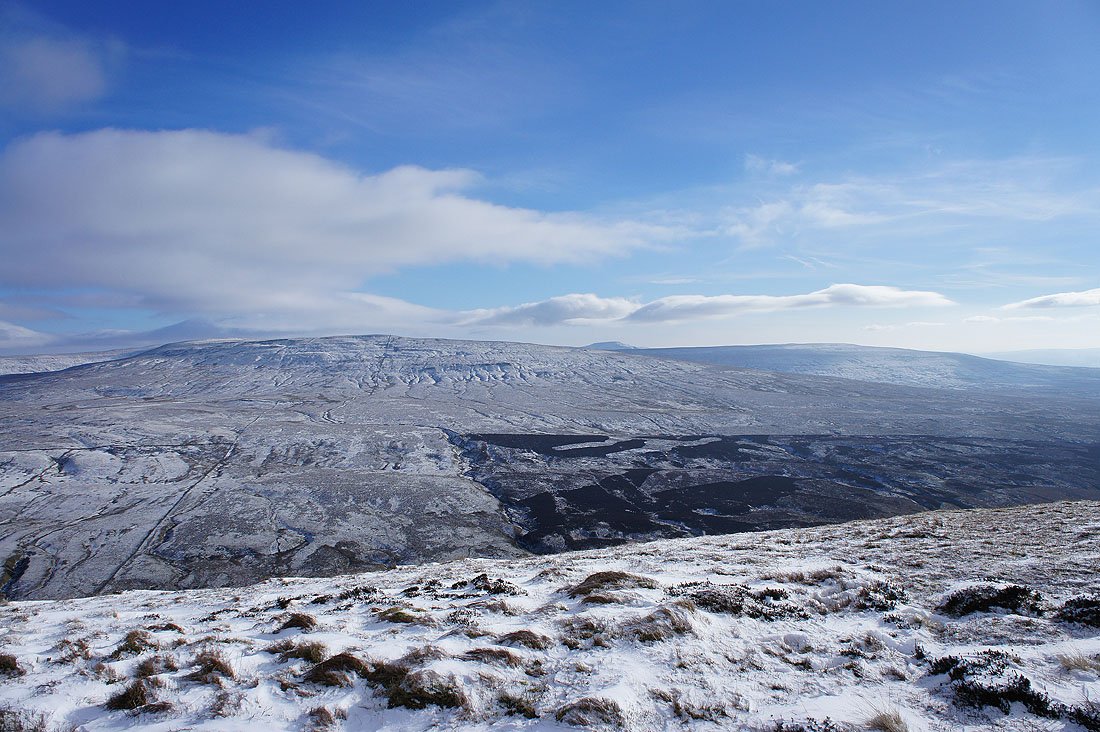
The flat top of Wild Boar Fell, Baugh Fell and Aye Gill Pike
Aye Gill Pike, Dentdale and Great Knoutberry Hill
Crag Hill on the other side of Barbondale. The summit of Ingleborough can be seen peeping over its shoulder.
Morecambe Bay in the distance
One last shot before I head back. The cloud has gradually been increasing while I've been up here and with the strong northerly breeze it now feels very cold.
Back on Castle Knott
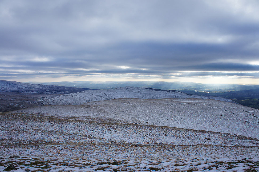
The fells of the Forest of Bowland in the distance beyond the nearby Barbon Low Fell
The cloud has made it to the coast
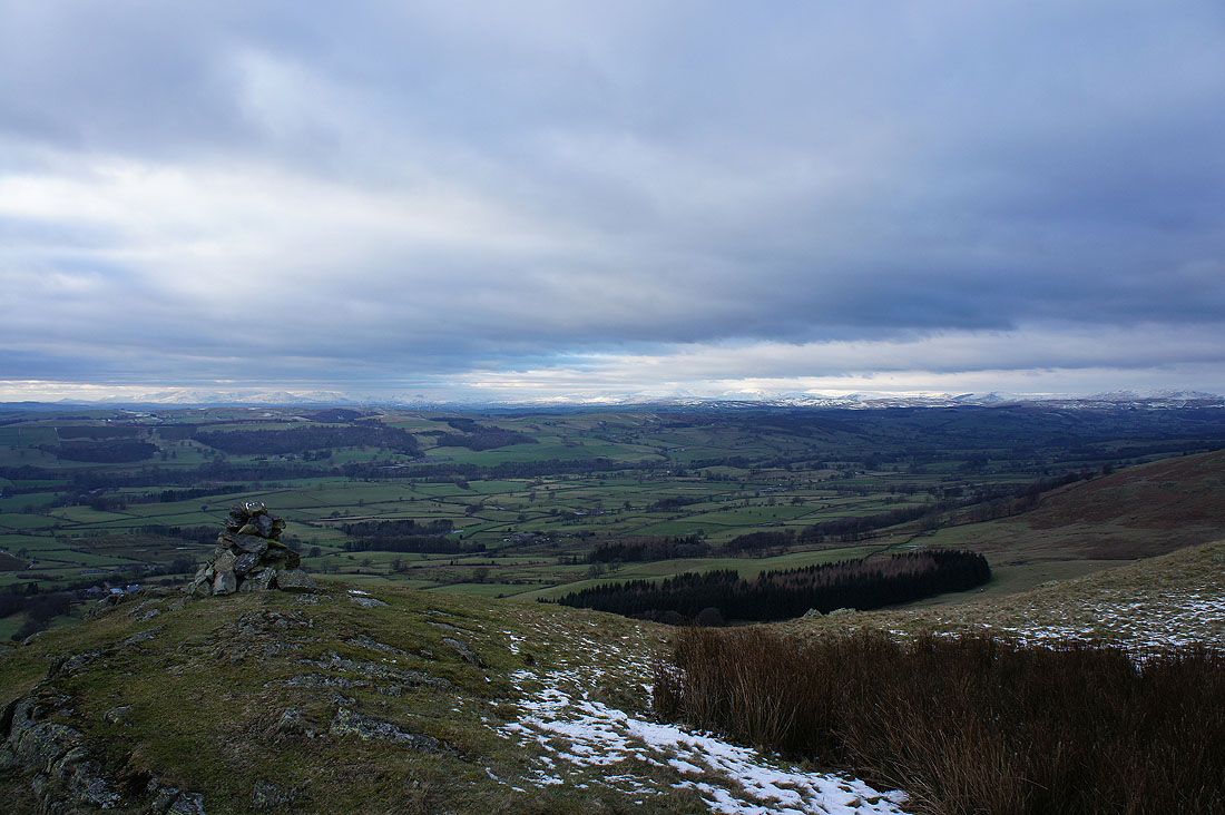
A final stop on Eskholme Pike. Hard to believe that it's the same day after what it was like this morning.
