3rd July 2011 - The Nab and several other far eastern fells
Walk Details
Distance walked: 10.4 miles
Total ascent: 3712 ft
OS map used: OL5 - The English Lakes, North-eastern area
Time taken: 7.5 hrs
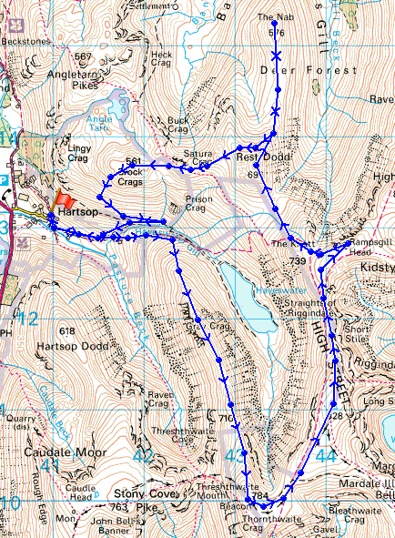
Route description: Hartsop-Gray Crag-Thornthwaite Crag-High Street-Rampsgill Head-Rest Dodd-The Nab-Satura Crag-Brock Crags-Hartsop
I parked in the car park in Hartsop and set off up the first fell of my walk, Gray Crag. From Gray Crag I made my over to Thornthwaite Crag and then to High Street. After having my lunch there I set off for Rampsgill Head and then Rest Dodd. I then made the walk across to The Nab before backtracking to the wall running under Rest Dodd and then eventually arriving on the summit of Brock Crags. I then made the descent back into Hartsop.
Route map
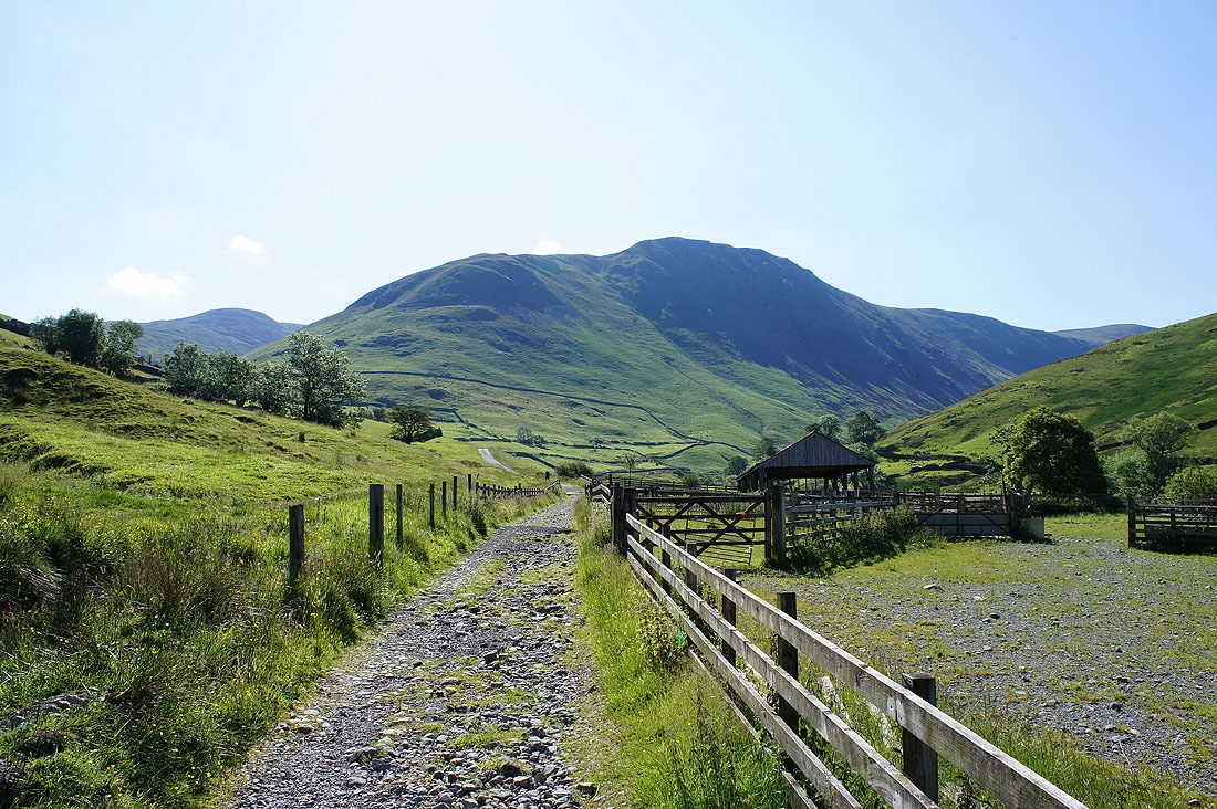
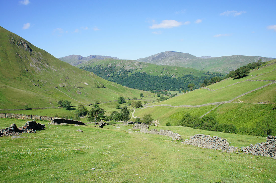
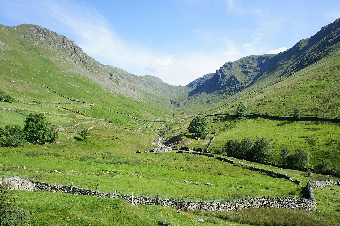
Gray Crag ahead from the track out of Hartsop
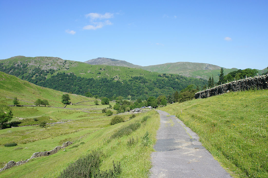
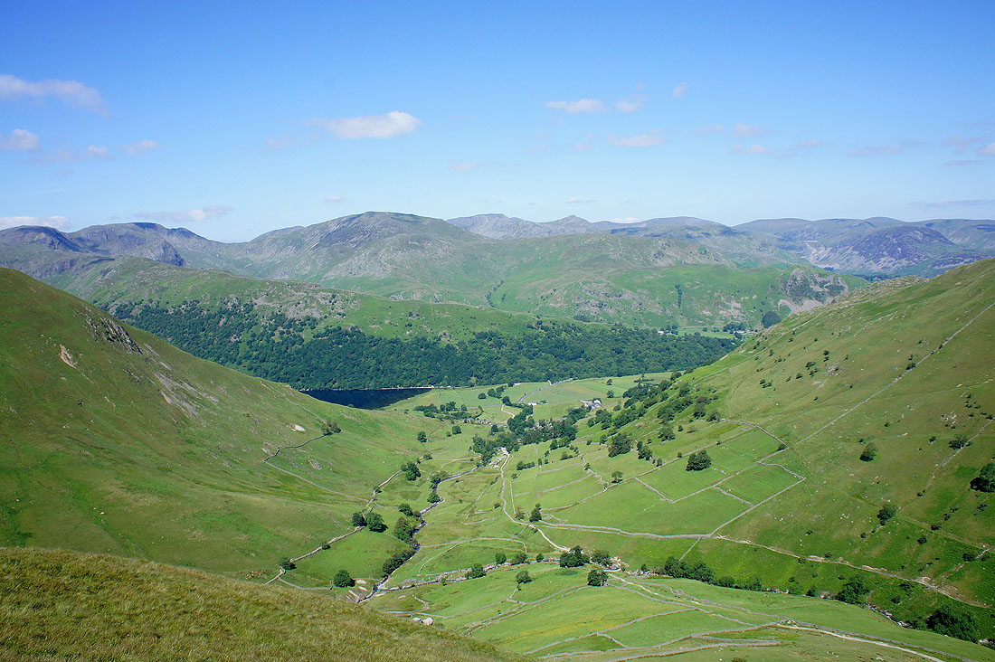
Looking back towards Hartsop
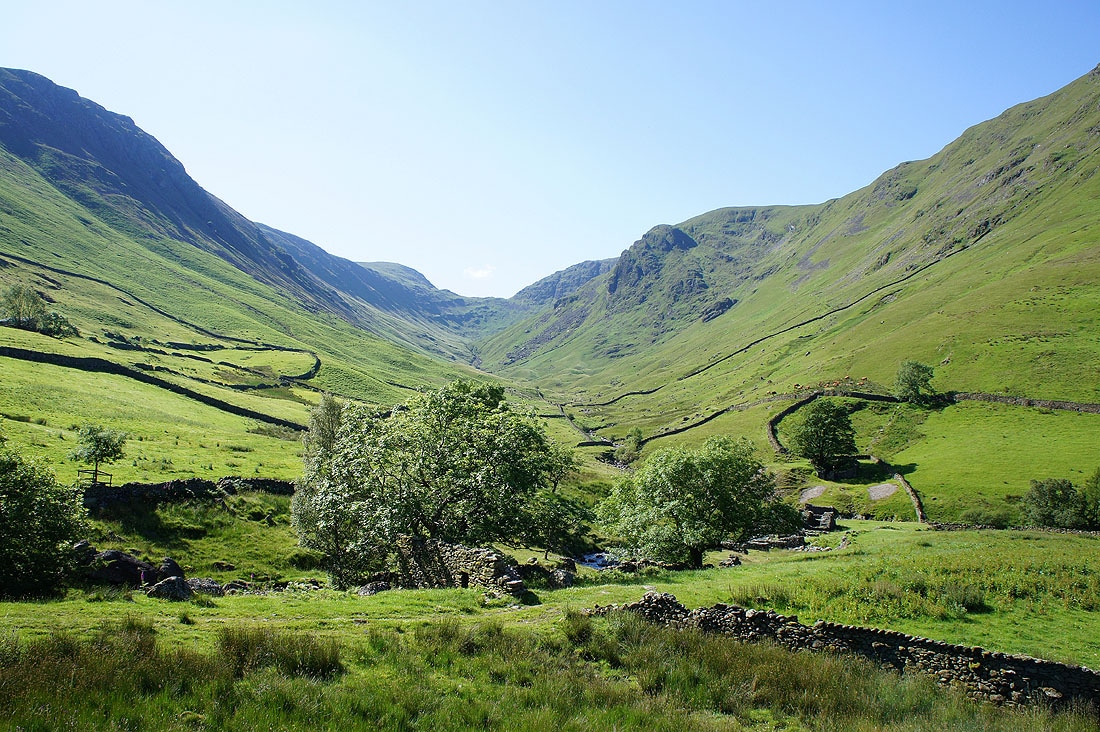
Pasture Bottom
Starting the climb up Gray Crag
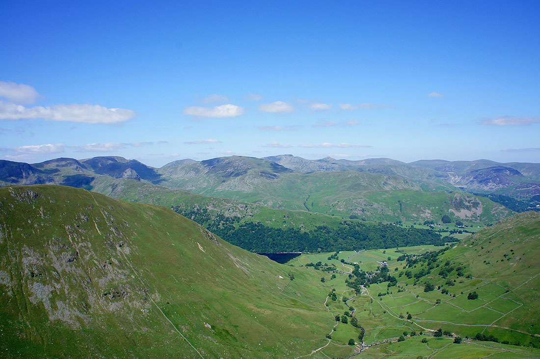
The view opens out as I gain height
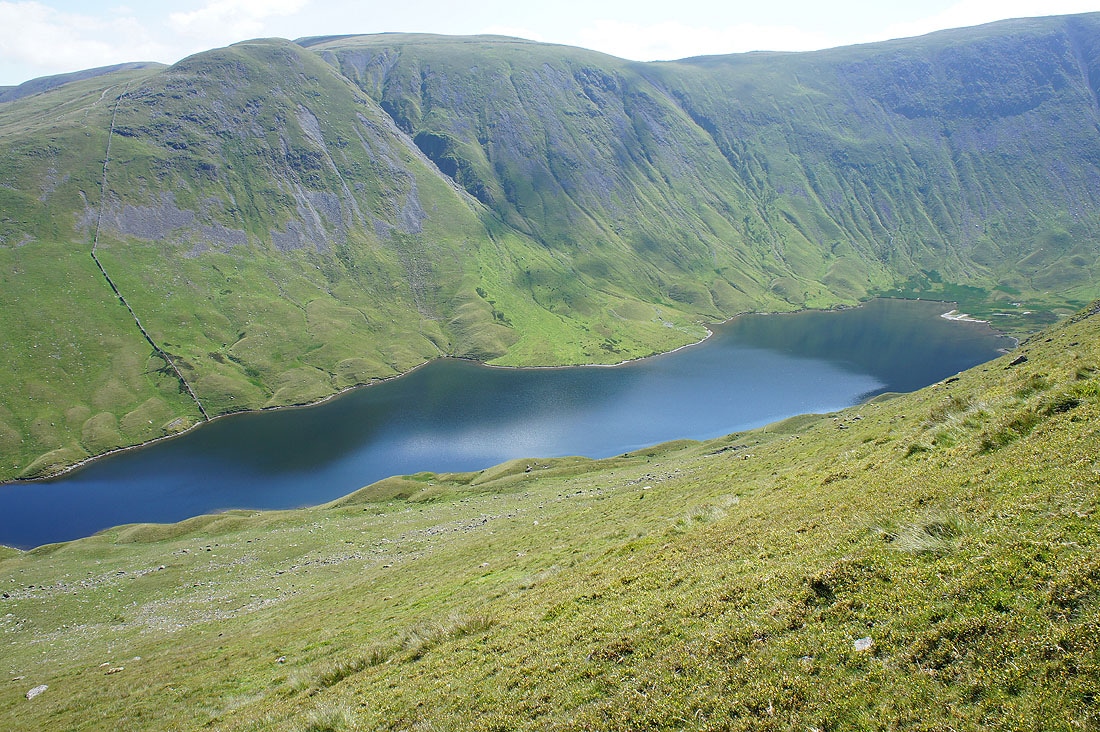
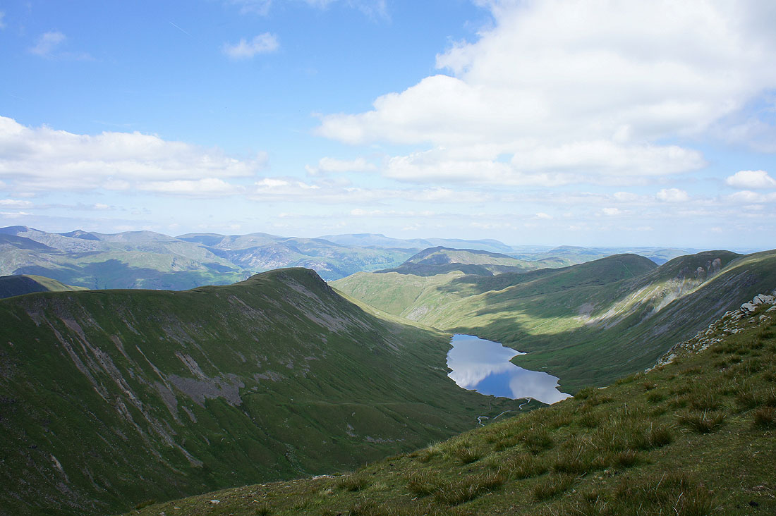
Hayeswater
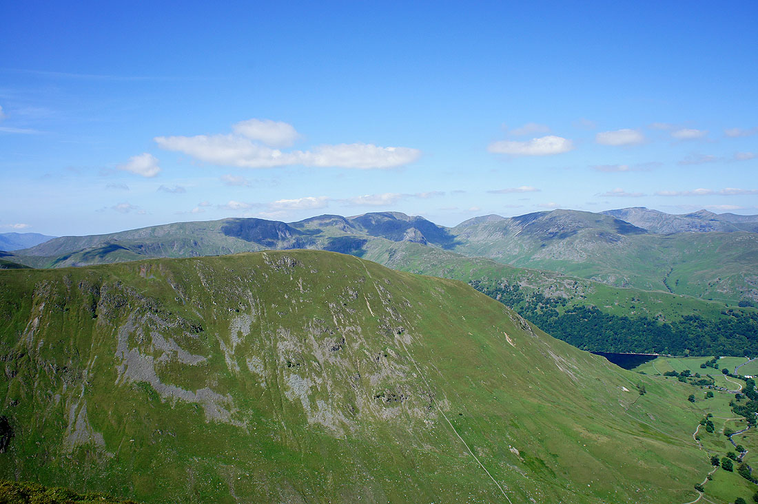
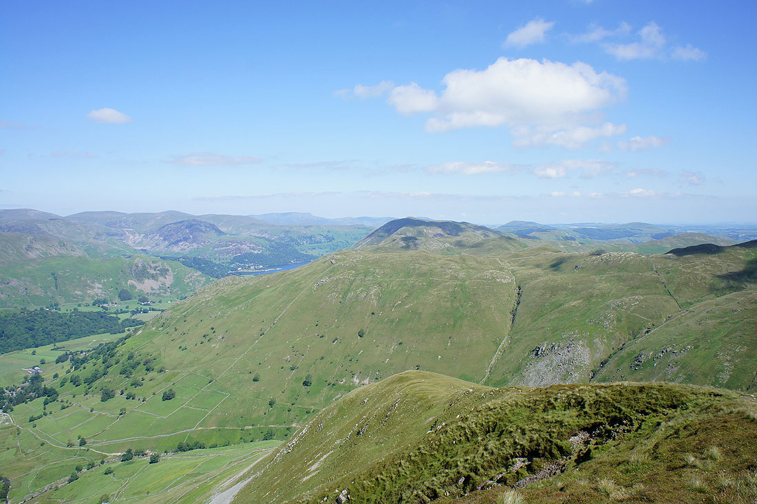
Looking over Hartsop Dodd to Fairfield
The view across to Helvellyn
Place Fell behind Brock Crags and Angletarn Pikes
The view to Fairfield and Helvellyn from Gray Crag
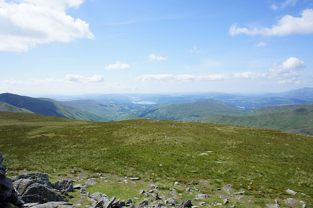
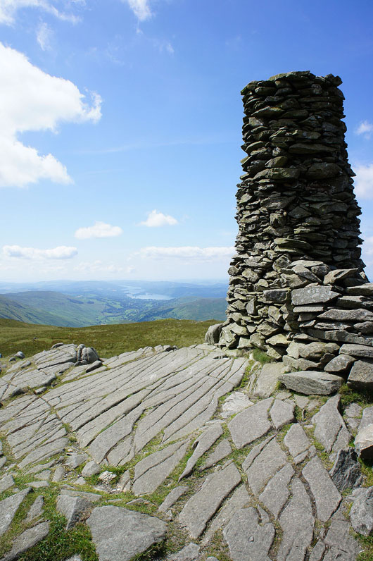
On Thornthwaite Crag with a view of Windermere
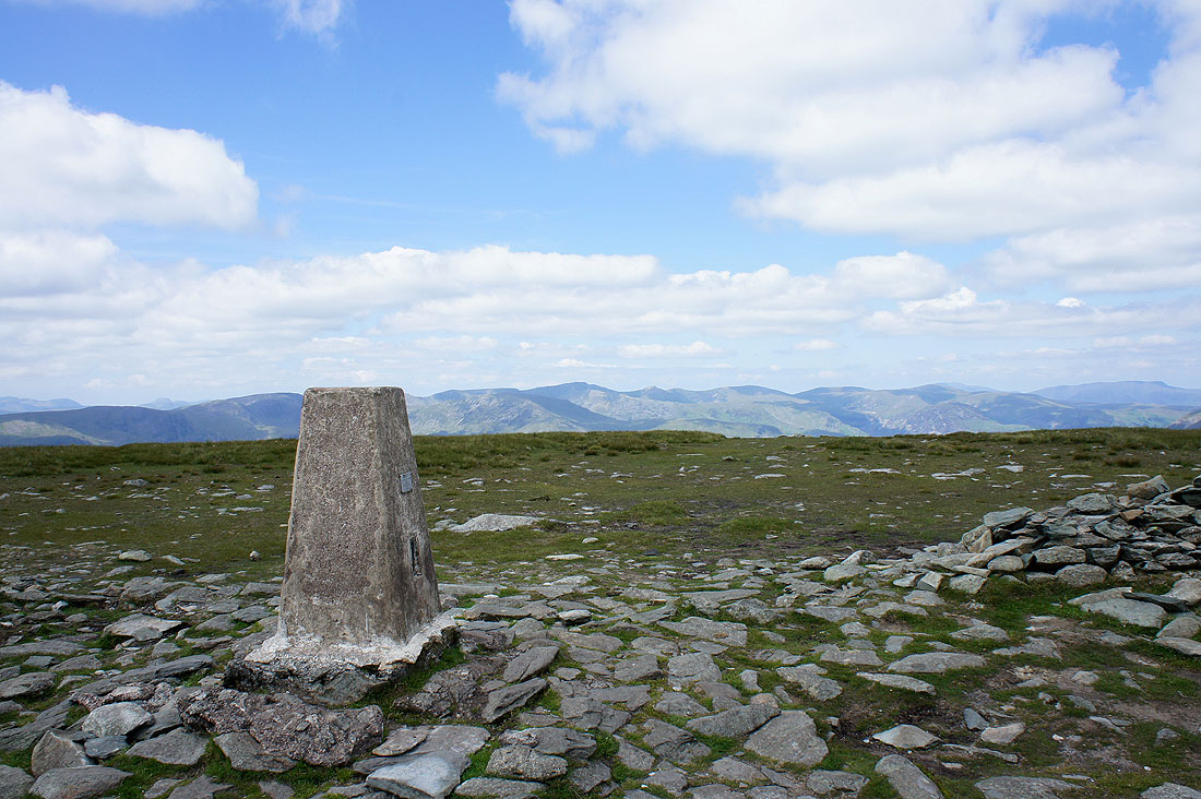
The beacon
Fairfield and Helvellyn in view
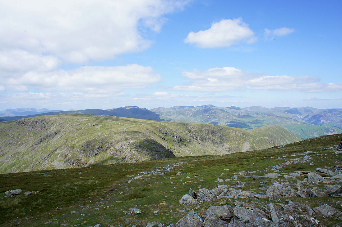
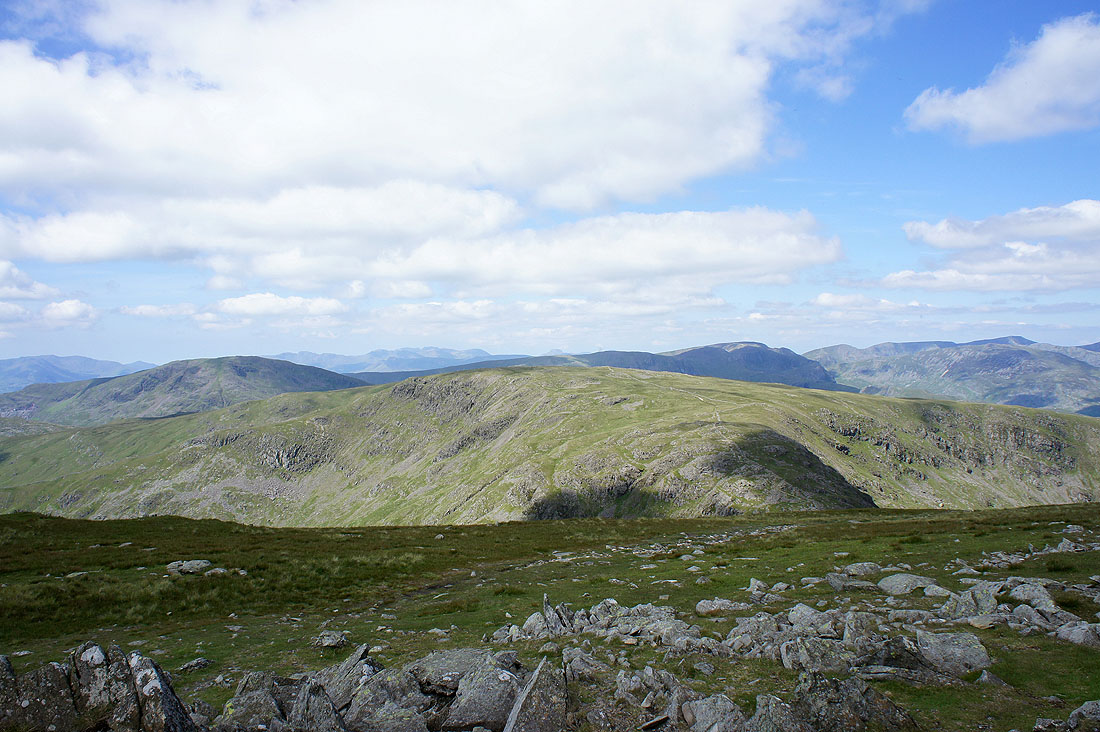
Red Screes and Caudale Moor
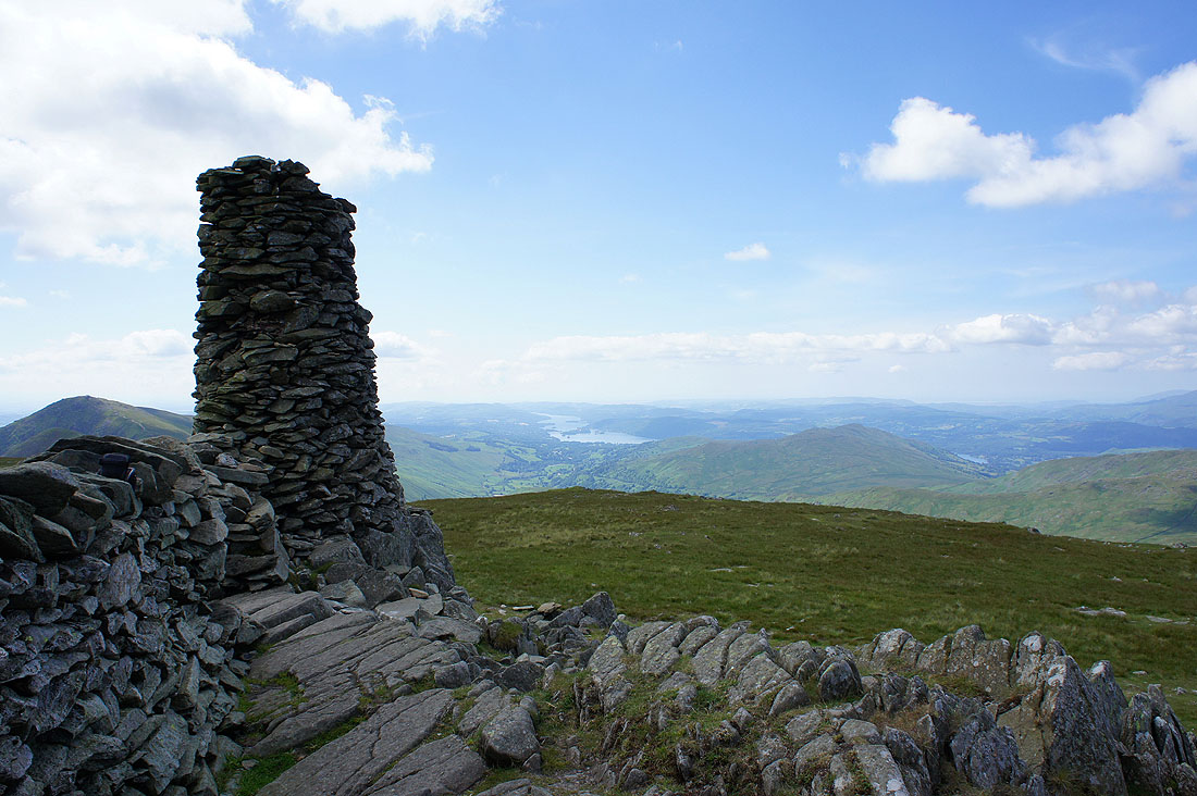
Windermere from the beacon
The view across to the Coniston fells
and northwest towards Helvellyn, the Dodds and Blencathra
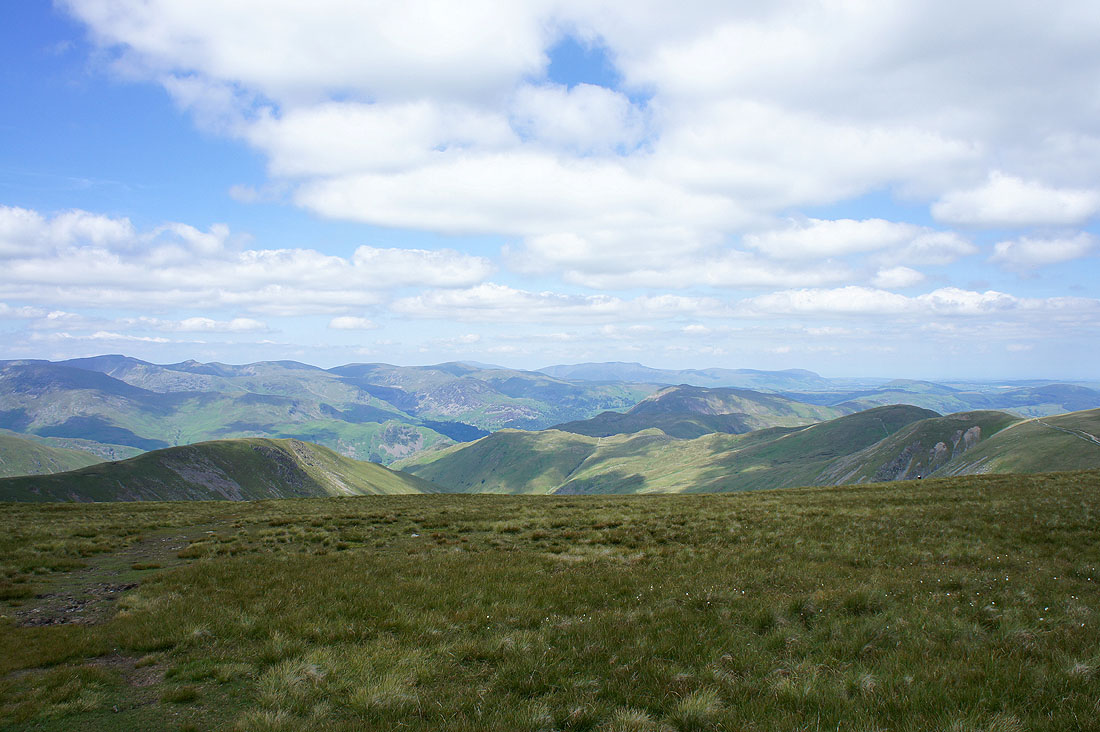
Views to the west and northwest as I make for High Street...
High Street
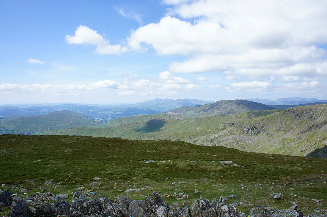
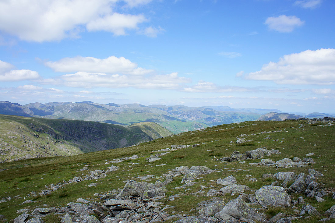
The view from High Street. The Coniston fells, Crinkle Crags, Scafell PIke and Great Gable in the far distance. Red Screes, Caudale Moor and Fairfield closer at hand.
Fairfield and Helvellyn groups
The Dodds and Blencathra in the distance
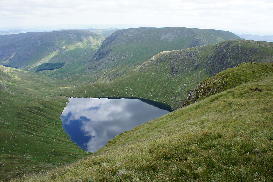
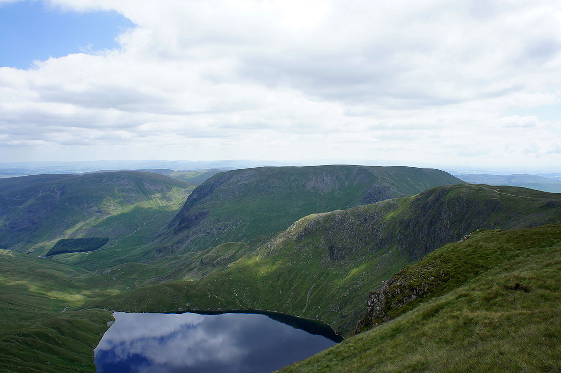
Blea Water
The view across to Harter Fell
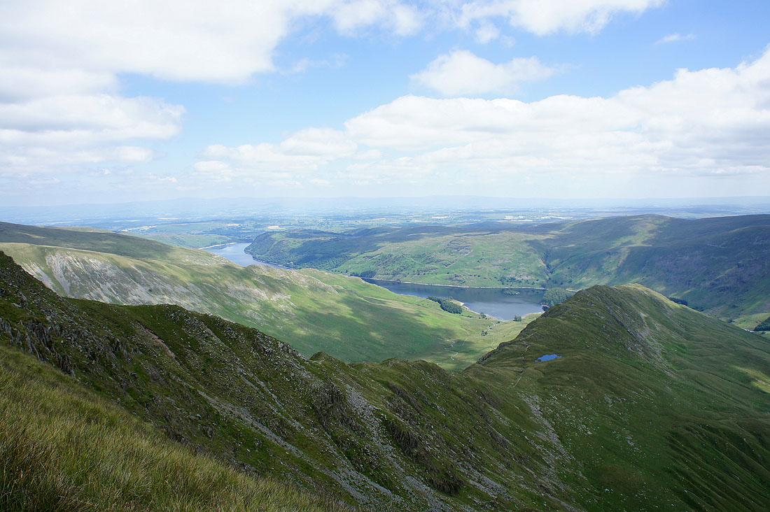
Rough Crag and Haweswater
On the summit of Rampsgill Head
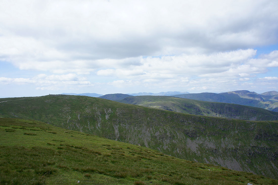
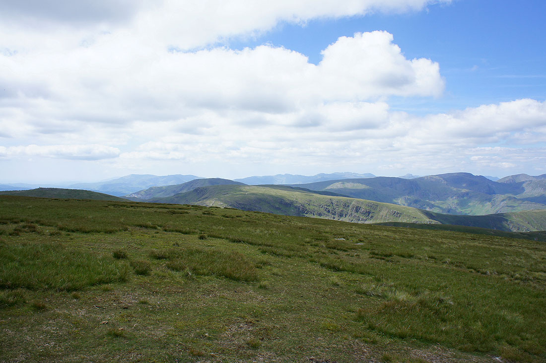
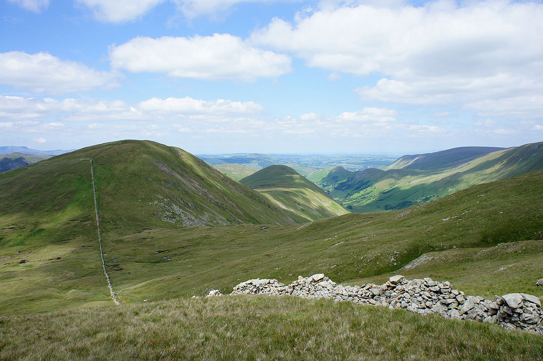
Rest Dodd and The Nab not far away
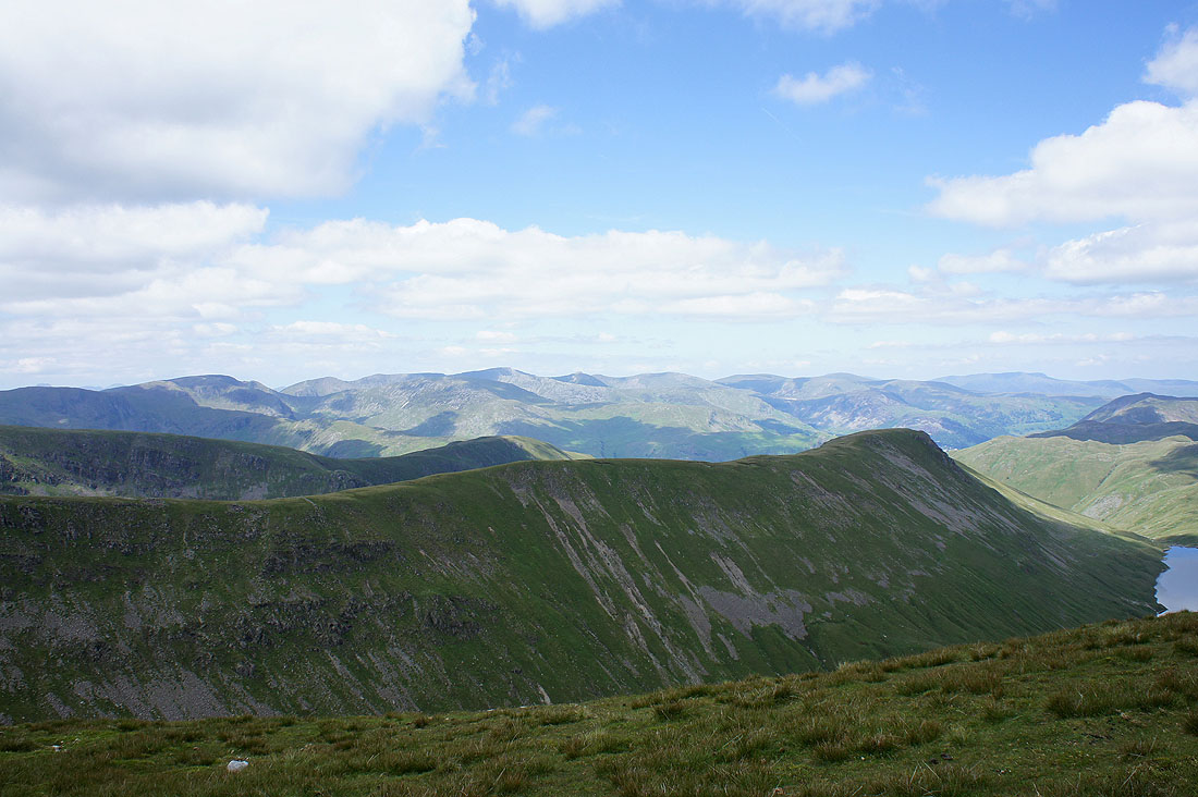
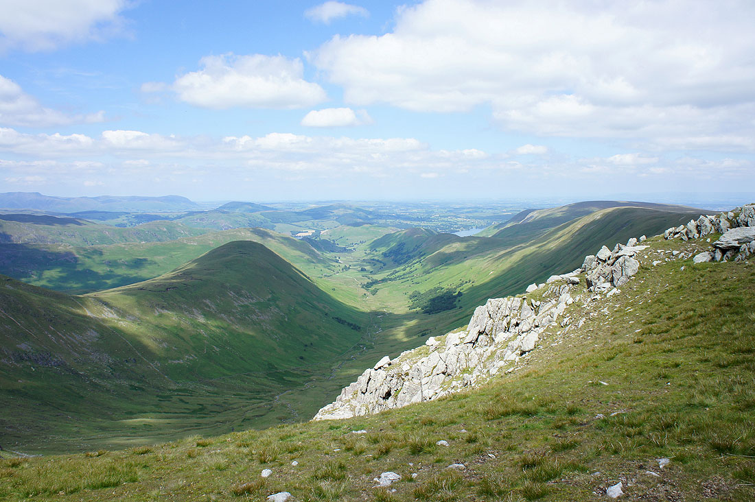
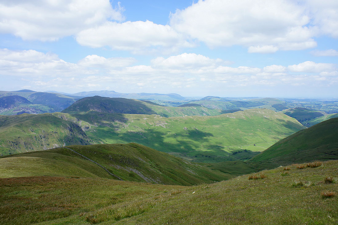
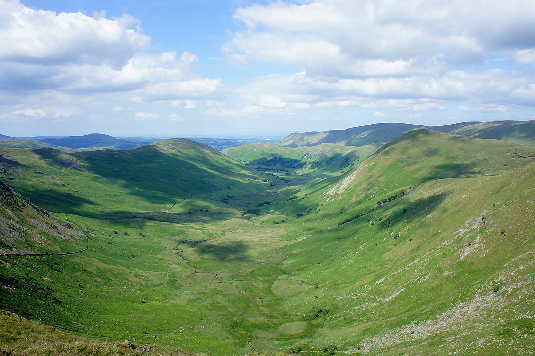
The view down Ramps Gill to Martindale
Heading for Rest Dodd
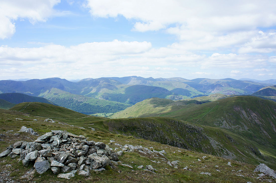
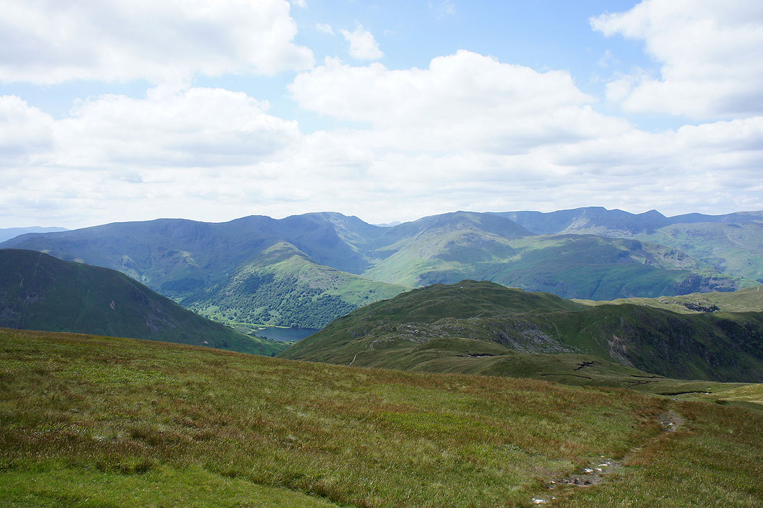
The view to Helvellyn from Rest Dodd
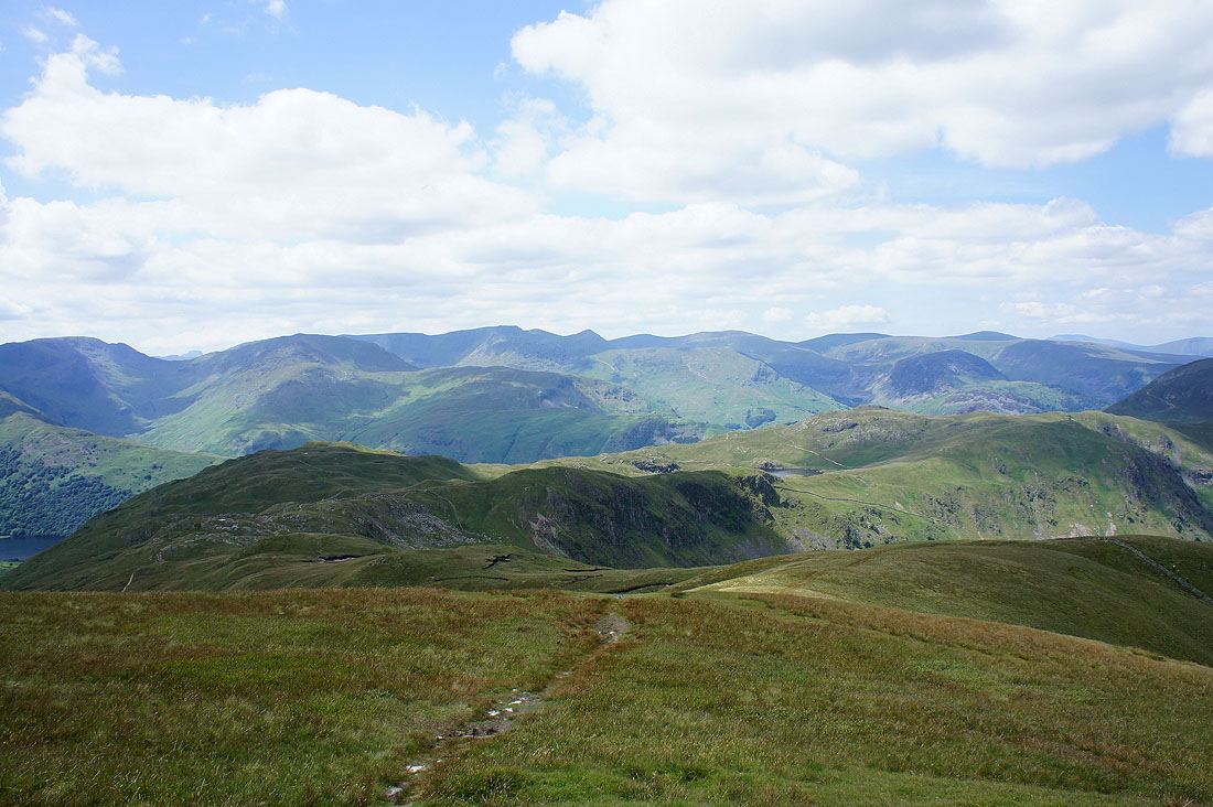
Place Fell and Beda Fell
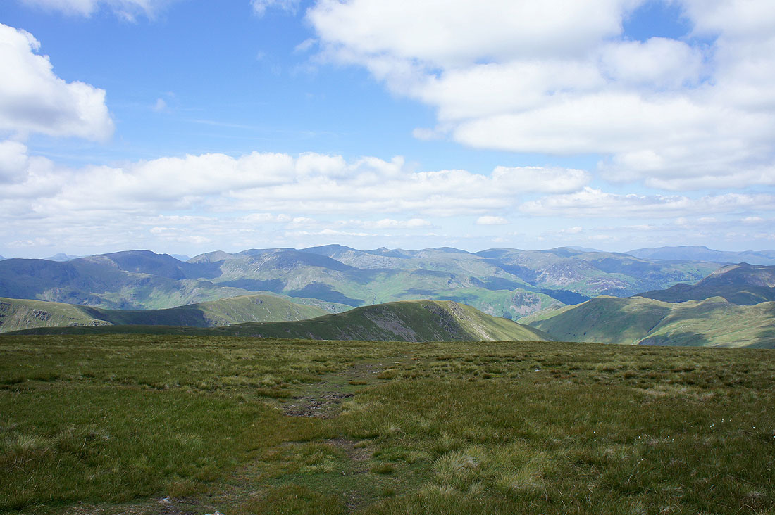
Fairfield and Helvellyn
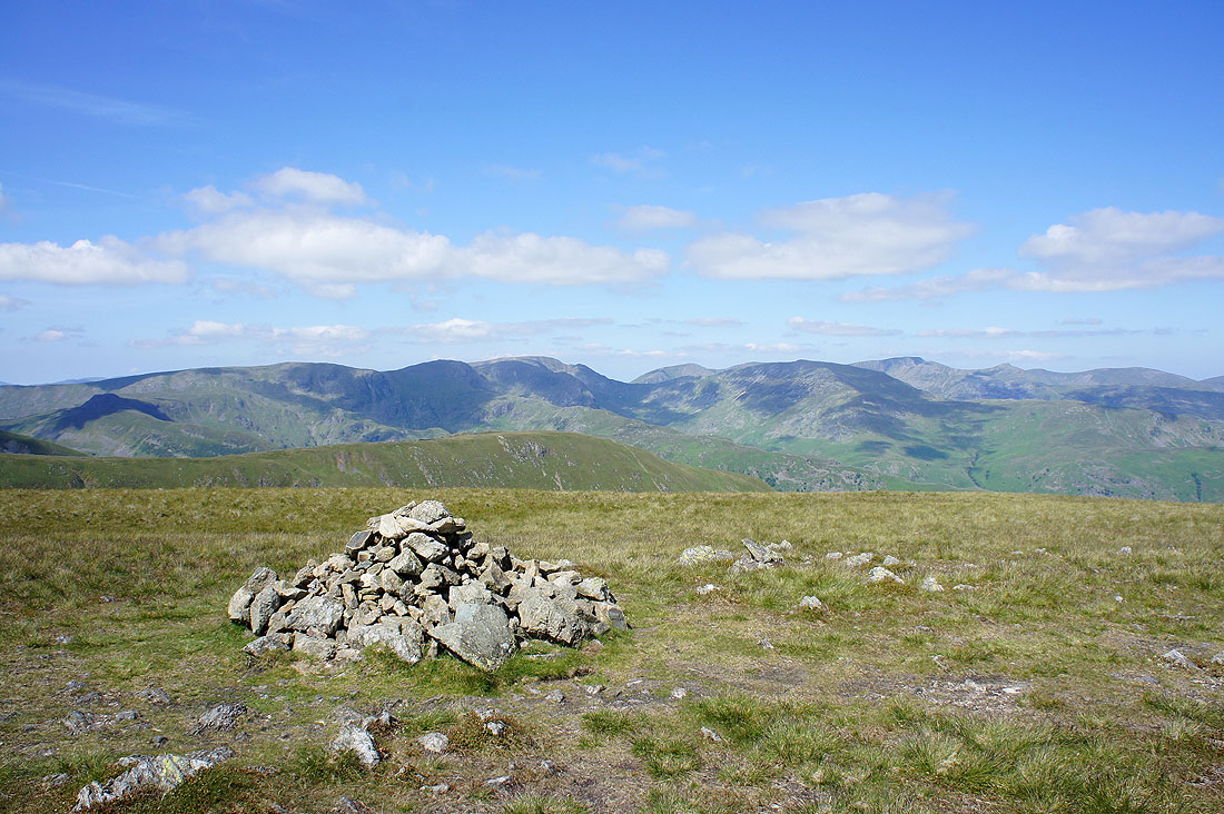
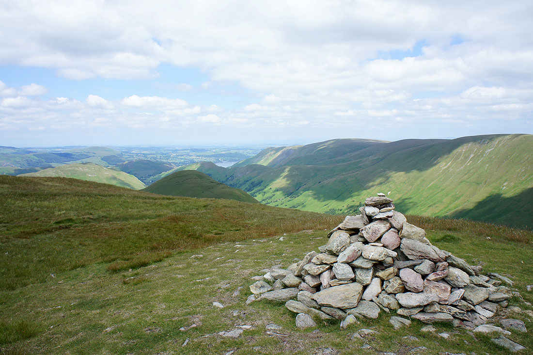
Rest Dodd summit
Heading for The Nab
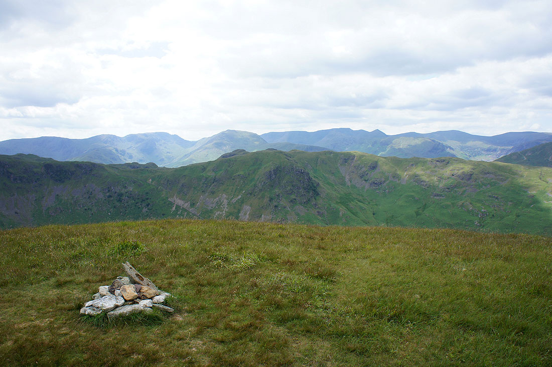
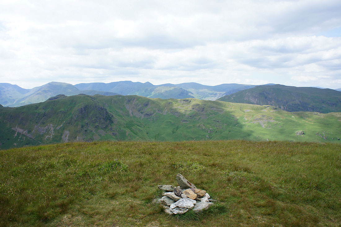
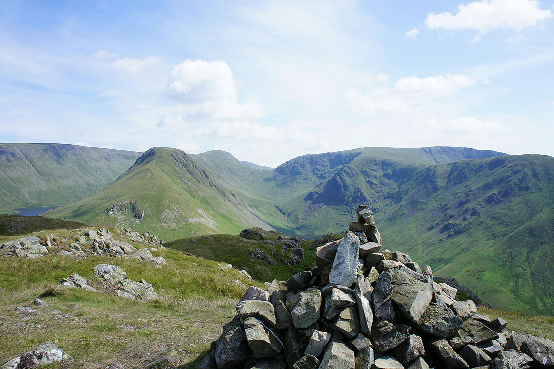
The view from the summit of The Nab..
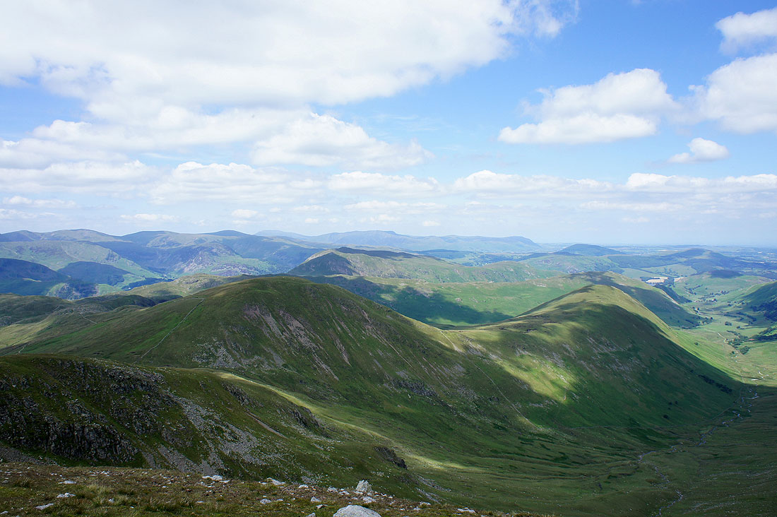
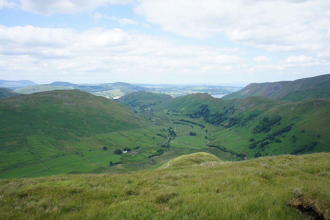
The view down into Martindale
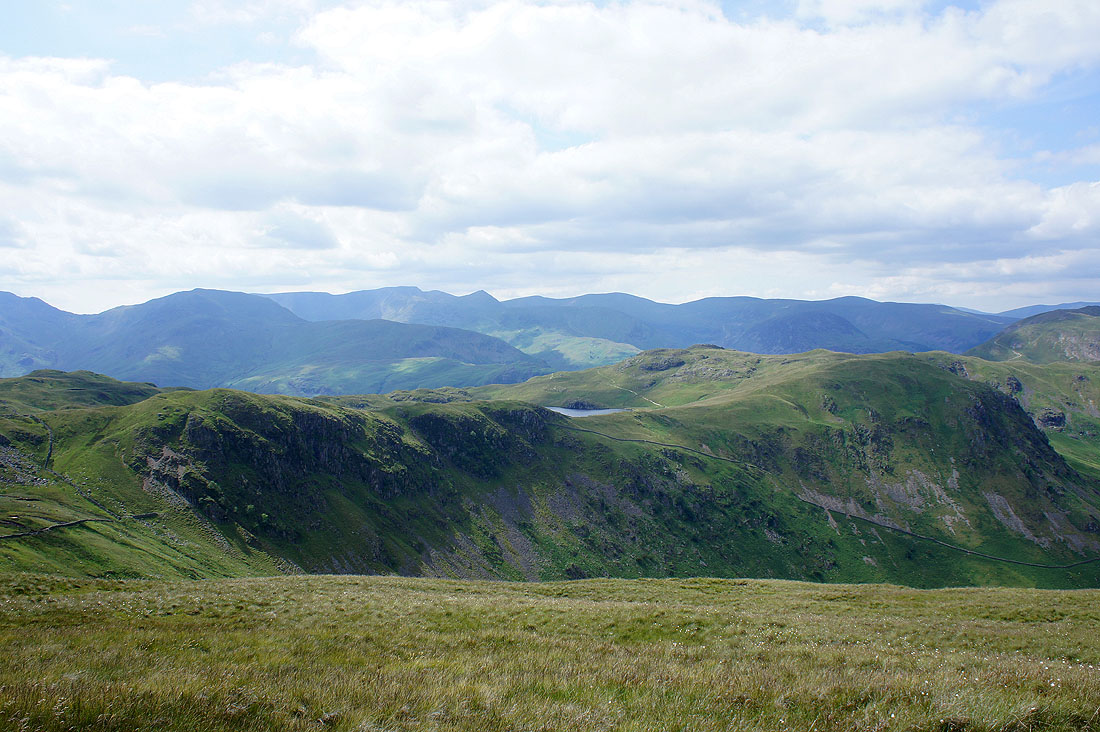
A glimpse of Angle Tarn as I head for Brock Crags
Bannerdale
Angle Tarn
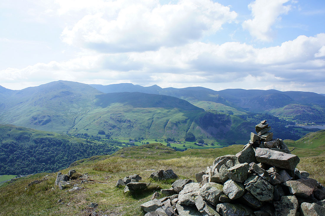
Gray Crag and Caudale Moor from Brock Crags
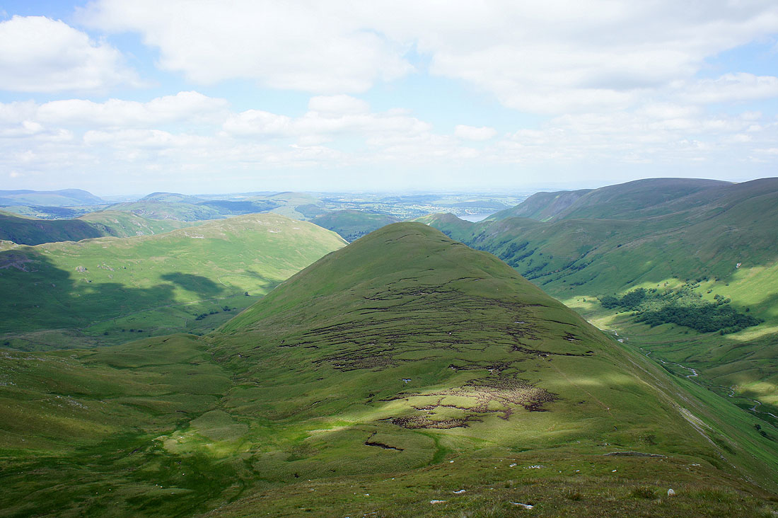
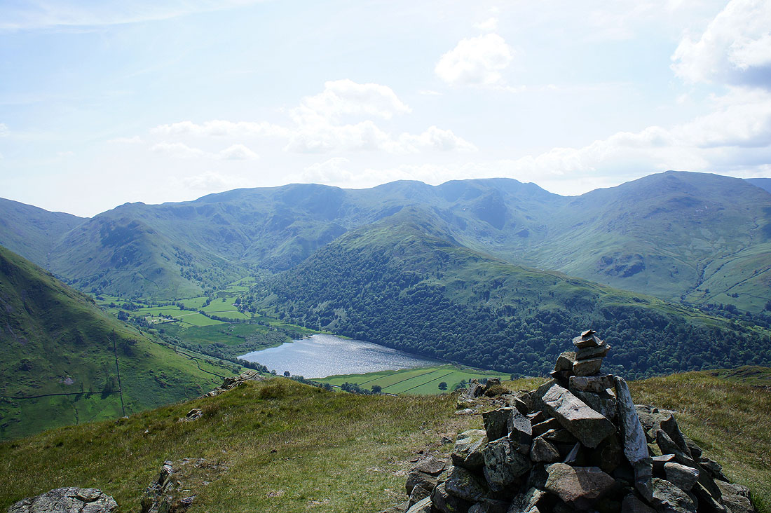
Brothers Water in view
Helvellyn
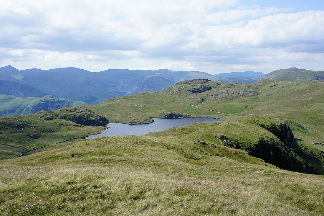
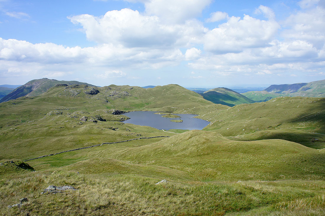
Angle Tarn from Brock Crags
Hayeswater Gill
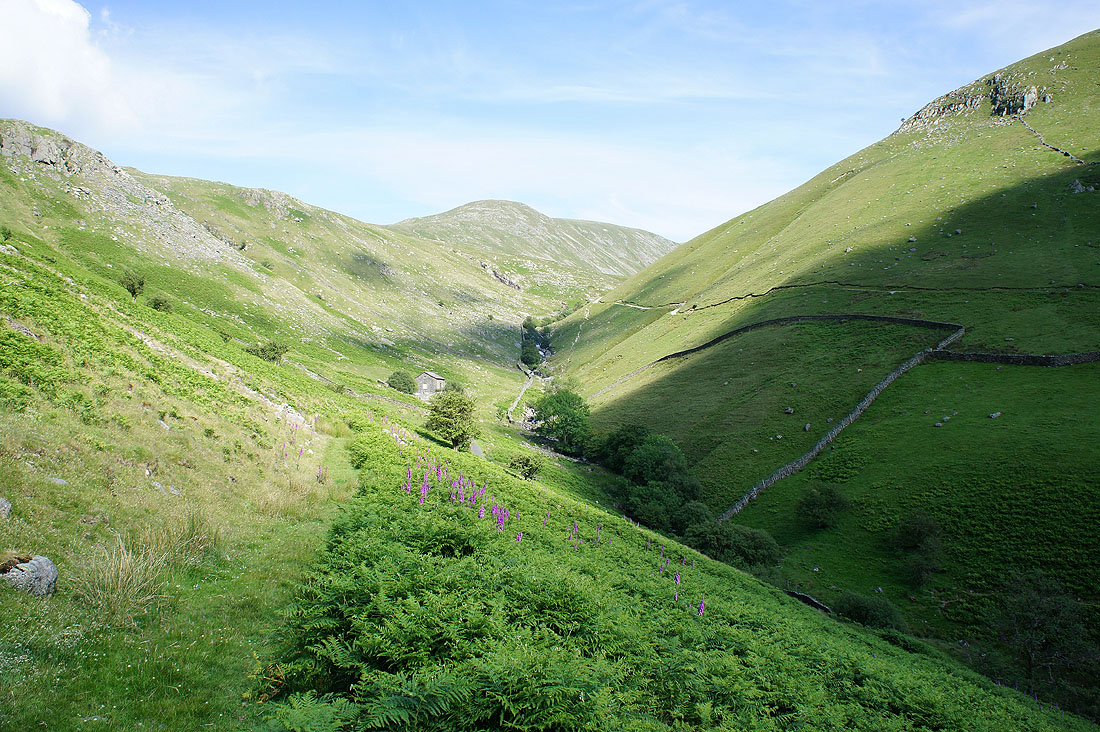
Pasture Bottom on the way back to Hartsop
