3rd July 2016 - Alstonefield & Dove Dale
Walk Details
Distance walked: 9.2 miles
Total ascent: 2279 ft
OS map used: OL24 - The Peak District, White Peak area
Time taken: 7 hrs
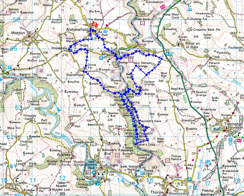
Route description: Alstonefield-Hopedale-Dale Bottom-Stanshope-Hall Dale-Ilam Rock Bridge-Dove Dale-Lover's Leap-Sharplow Dale-Upper Taylor's Wood-Dove Holes-The Nabs-Baley Hill-New Hanson Grange-Green Lane-Shining Tor-Milldale-Millway Lane-Alstonefield
Since my first walk in the White Peak part of the Peak District in 2013 I've gradually been working my way south in my exploration of the area. Today I made it to the part of the valley of the River Dove that bears the name Dove Dale. Even this far south in the Peak District is as far from home for me as just getting to the closest part of the Lake District is. The difference is the time the journey takes. I was quite impressed with the scenery on show along the valley floor but I must admit that my favourite part of the walk was following a path north along the eastern rim of Dove Dale. You get great views across the valley and the surrounding countryside.
From the car park in Alstonefield I made my way to the western end of the village and onto the road to Wetton. I left it for a path to Hopedale and Dale Bottom but because of a field of cattle I decided to change my route and take the road instead, through Hope, past the pub of The Watts Russell Arms and down to Dale Bottom. Now back on my original route I took the byway south to Stanshope, then the footpath to and down Hall Dale to Dove Dale. I then followed the river south on its western bank to Ilam Rock Bridge, where I crossed to the other side to continue south by the Dove to Lover's Leap. This was a convenient spot for lunch. That had, it was time to leave the valley floor behind and head up via a concessionary path from Lover's Leap to the eastern rim of the valley. Once up this path heads north, going round the side valley of Sharplow Dale, but down and across the next side valley before descending to the valley floor through Upper Taylor's Wood. I emerged onto the valley path just south of Dove Holes. I made my way north past Dove Holes and then I turned right and took the footpath signposted for Alsop-en-le-Dale. As it emerged from the woodland at the edge of access land I noticed that I could get back up onto the eastern edge of the valley again and to the top of Baley Hill. I hadn't planned this beforehand so it was a bit of bonus and I had the best views of the day from here. A concessionary path leaves Baley Hill and meets the public footpath north of Hanson Grange. I then followed the public footpath along the driveway of Hanson Grange down to Green Lane. After a brief walk west down the road I took the footpath on the left that heads across the hillside to Shining Tor and then down to Milldale. I crossed Viator's Bridge and once I'd enjoyed an ice-cream from Polly's Cottage I took the footpath up to Millway Lane and back to Alstonefield.
Total ascent: 2279 ft
OS map used: OL24 - The Peak District, White Peak area
Time taken: 7 hrs
Route description: Alstonefield-Hopedale-Dale Bottom-Stanshope-Hall Dale-Ilam Rock Bridge-Dove Dale-Lover's Leap-Sharplow Dale-Upper Taylor's Wood-Dove Holes-The Nabs-Baley Hill-New Hanson Grange-Green Lane-Shining Tor-Milldale-Millway Lane-Alstonefield
Since my first walk in the White Peak part of the Peak District in 2013 I've gradually been working my way south in my exploration of the area. Today I made it to the part of the valley of the River Dove that bears the name Dove Dale. Even this far south in the Peak District is as far from home for me as just getting to the closest part of the Lake District is. The difference is the time the journey takes. I was quite impressed with the scenery on show along the valley floor but I must admit that my favourite part of the walk was following a path north along the eastern rim of Dove Dale. You get great views across the valley and the surrounding countryside.
From the car park in Alstonefield I made my way to the western end of the village and onto the road to Wetton. I left it for a path to Hopedale and Dale Bottom but because of a field of cattle I decided to change my route and take the road instead, through Hope, past the pub of The Watts Russell Arms and down to Dale Bottom. Now back on my original route I took the byway south to Stanshope, then the footpath to and down Hall Dale to Dove Dale. I then followed the river south on its western bank to Ilam Rock Bridge, where I crossed to the other side to continue south by the Dove to Lover's Leap. This was a convenient spot for lunch. That had, it was time to leave the valley floor behind and head up via a concessionary path from Lover's Leap to the eastern rim of the valley. Once up this path heads north, going round the side valley of Sharplow Dale, but down and across the next side valley before descending to the valley floor through Upper Taylor's Wood. I emerged onto the valley path just south of Dove Holes. I made my way north past Dove Holes and then I turned right and took the footpath signposted for Alsop-en-le-Dale. As it emerged from the woodland at the edge of access land I noticed that I could get back up onto the eastern edge of the valley again and to the top of Baley Hill. I hadn't planned this beforehand so it was a bit of bonus and I had the best views of the day from here. A concessionary path leaves Baley Hill and meets the public footpath north of Hanson Grange. I then followed the public footpath along the driveway of Hanson Grange down to Green Lane. After a brief walk west down the road I took the footpath on the left that heads across the hillside to Shining Tor and then down to Milldale. I crossed Viator's Bridge and once I'd enjoyed an ice-cream from Polly's Cottage I took the footpath up to Millway Lane and back to Alstonefield.
Route map
© Crown copyright. All rights reserved. License number PU 100034184.
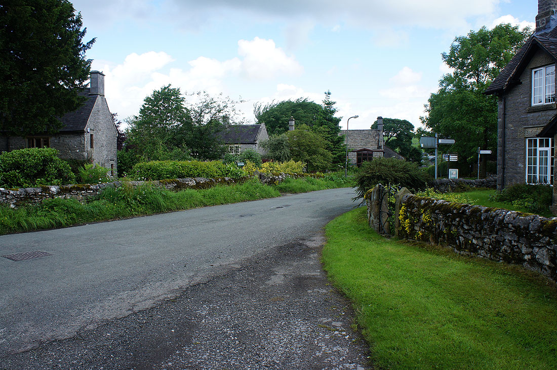
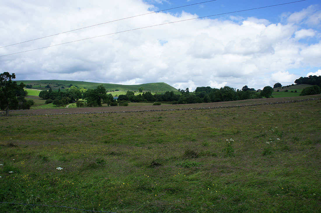
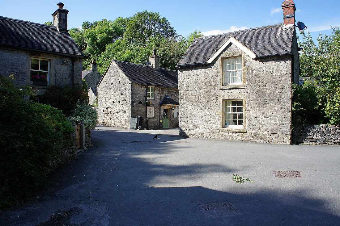
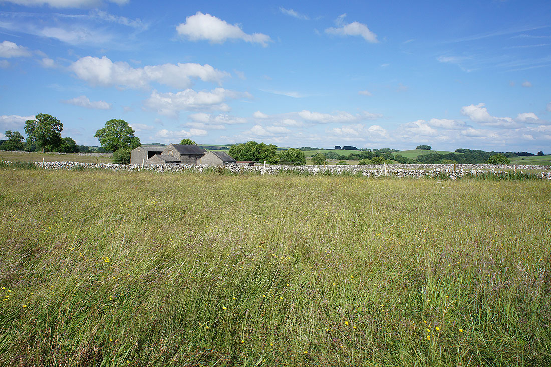
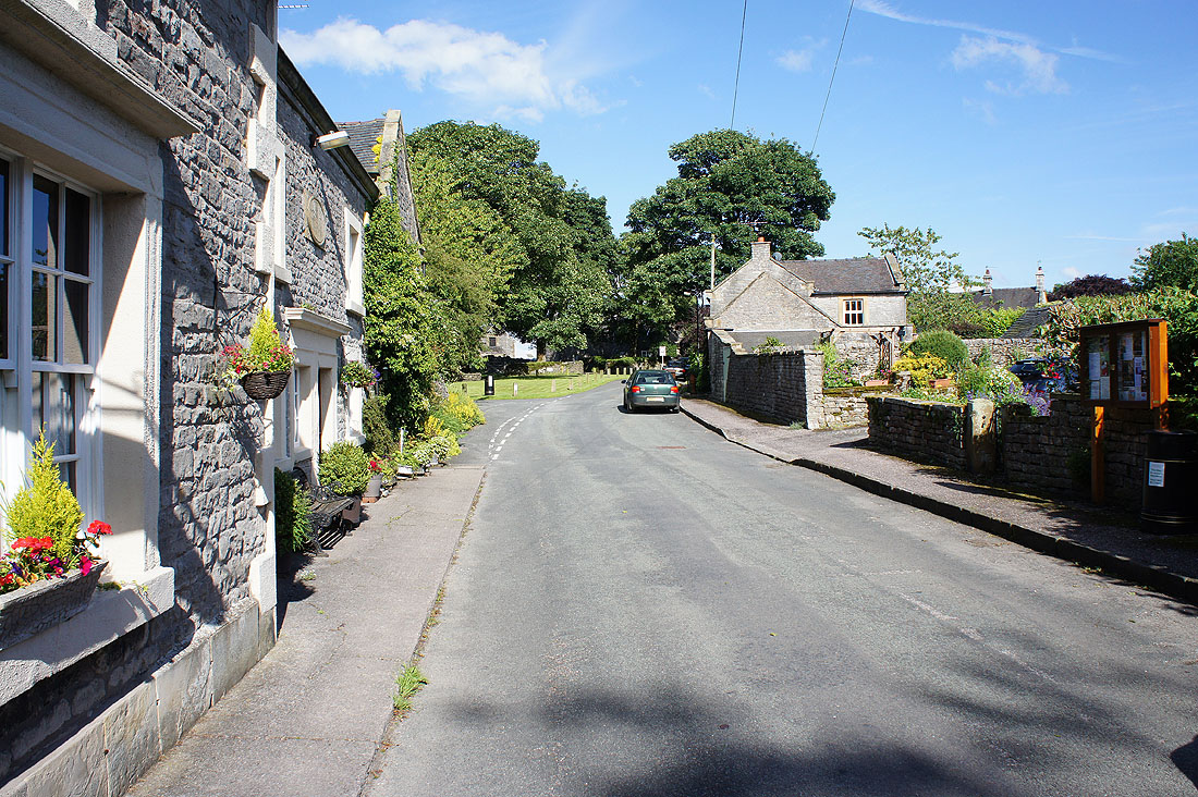
Leaving Alstonefield behind
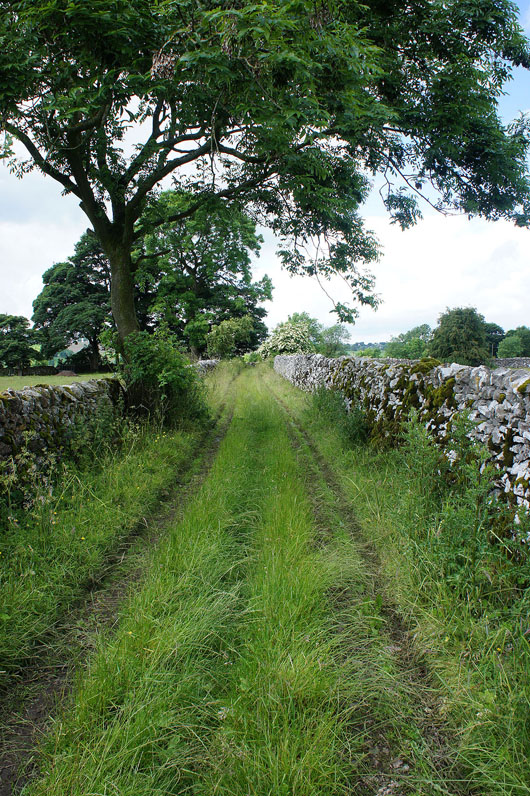
On the footpath to Hopedale
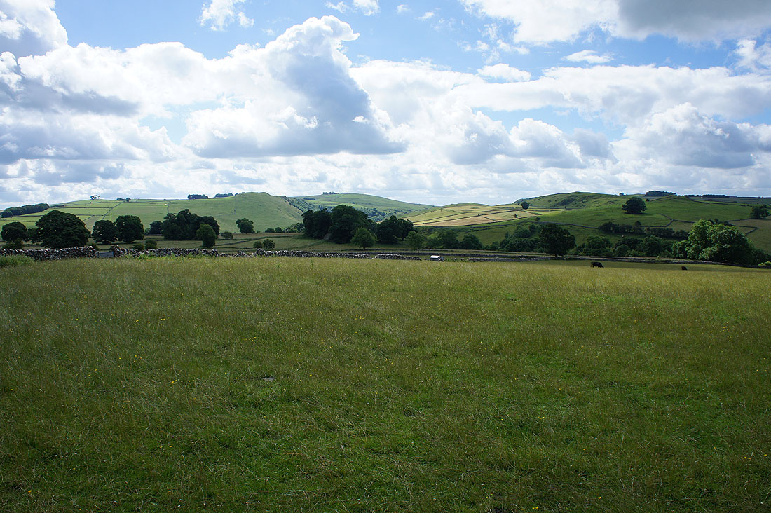
To my left a glimpse of Dove Dale to the south
As I walk down the road to Hope, looking north to Gateham Hill
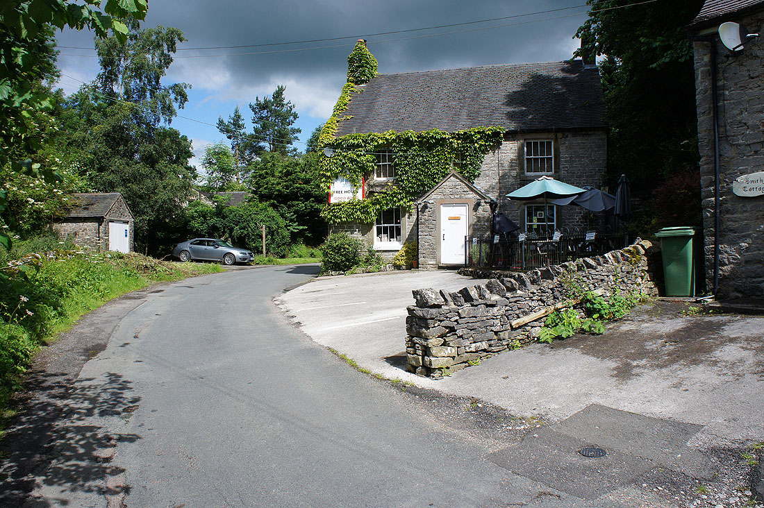
Past The Watts Russell Arms
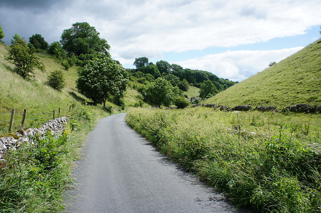
Walking down Hopedale to pick up the byway to Stanshope
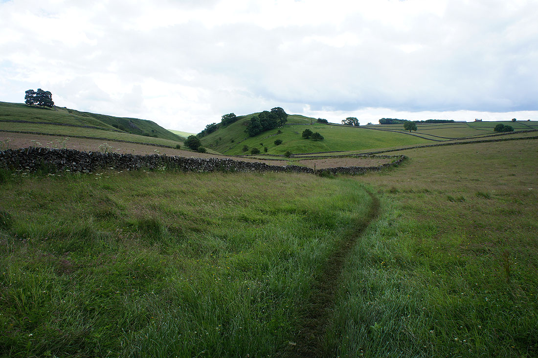
On the footpath from Stanshope and down into Hall Dale...
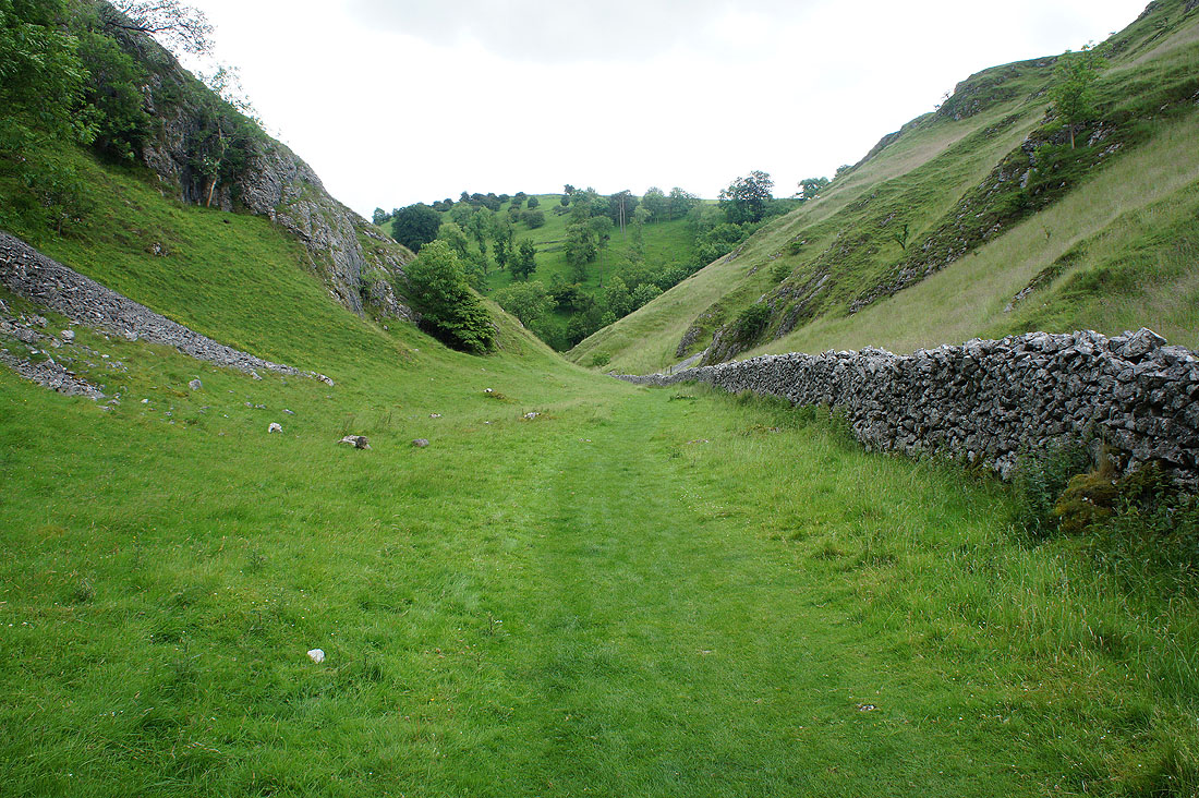
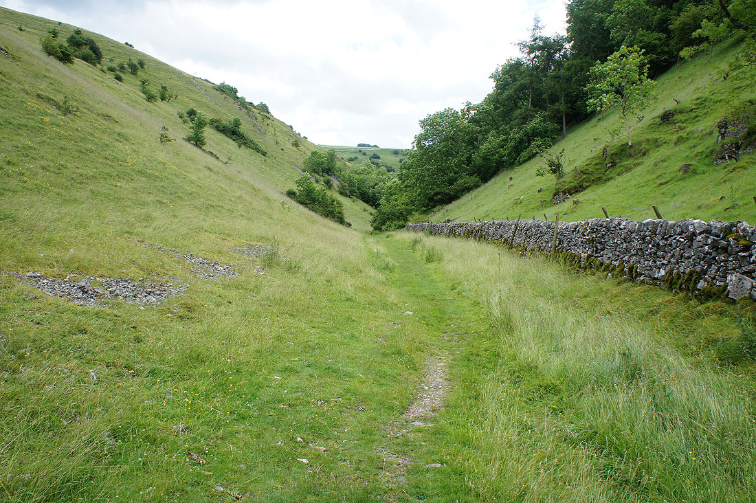
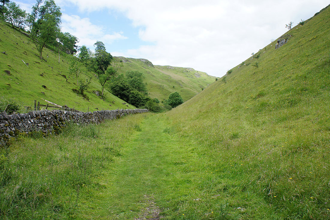
A last look back up Hall Dale..
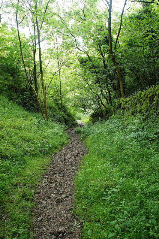
..before I enter Hurt's Wood
|
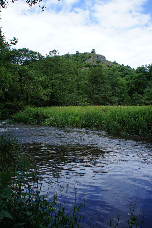
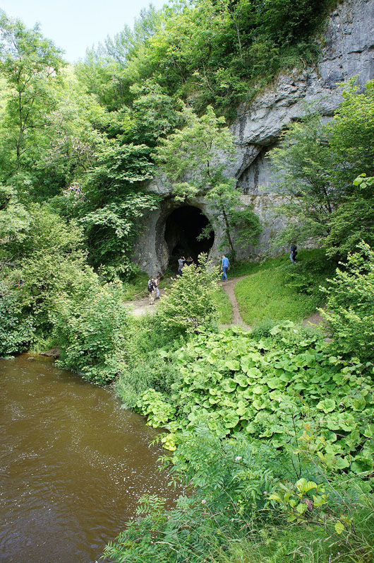
and reach the River Dove in Dove Dale
|
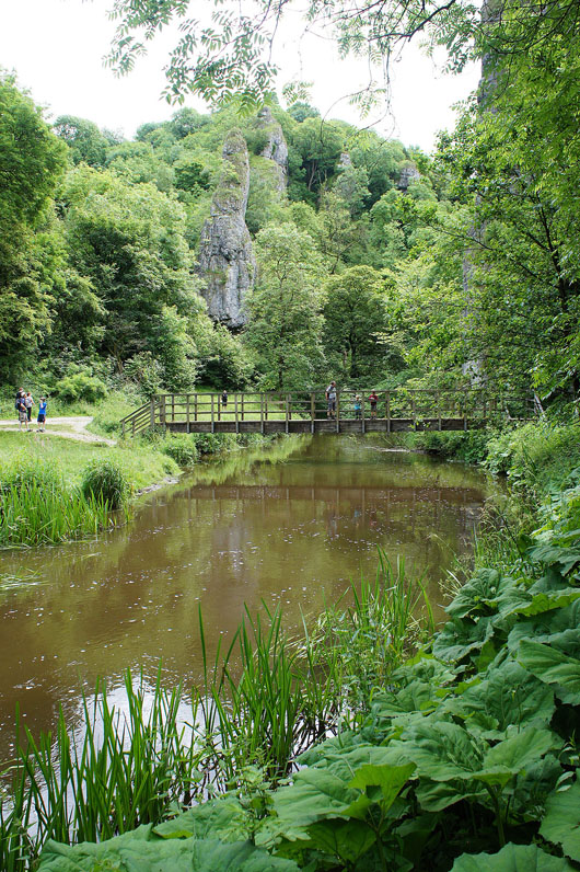
A brief walk by the west bank of the river brings me to Ilam Rock Bridge which I'll cross
|
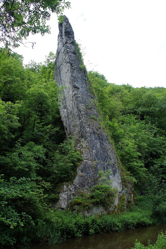
The towering Ilam Rock
|
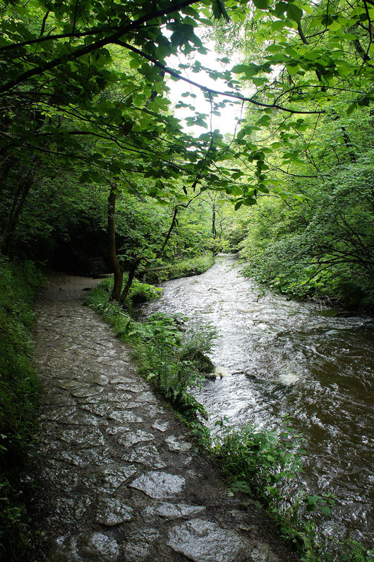
On the path south through the woodland in Dove Dale
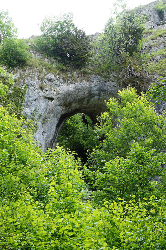
Further on and the woodland thins. I can make out a climber hanging from a natural arch in the limestone.
|
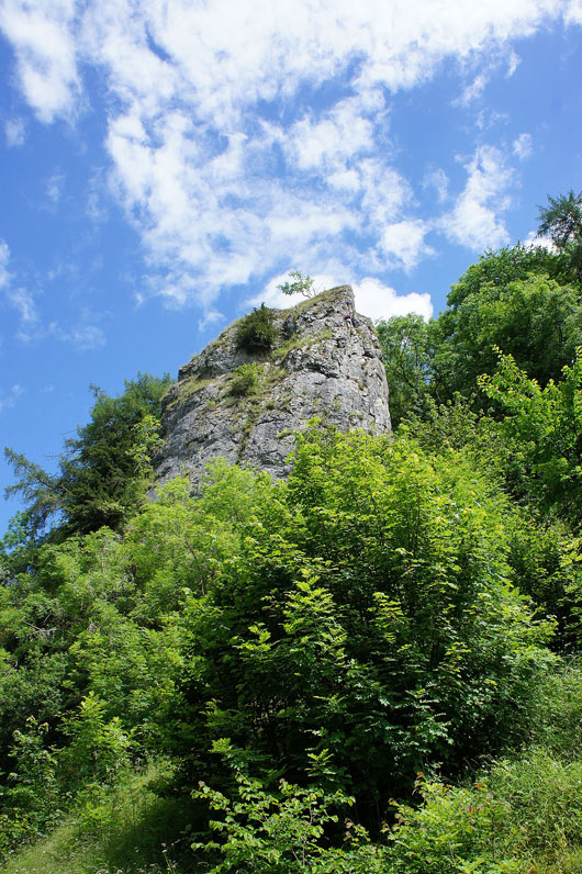
and there was another one making his way to the top of this tor
|
Looking back to the tor before I enter the woodland around Lover's Leap
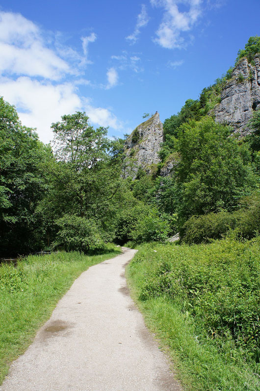
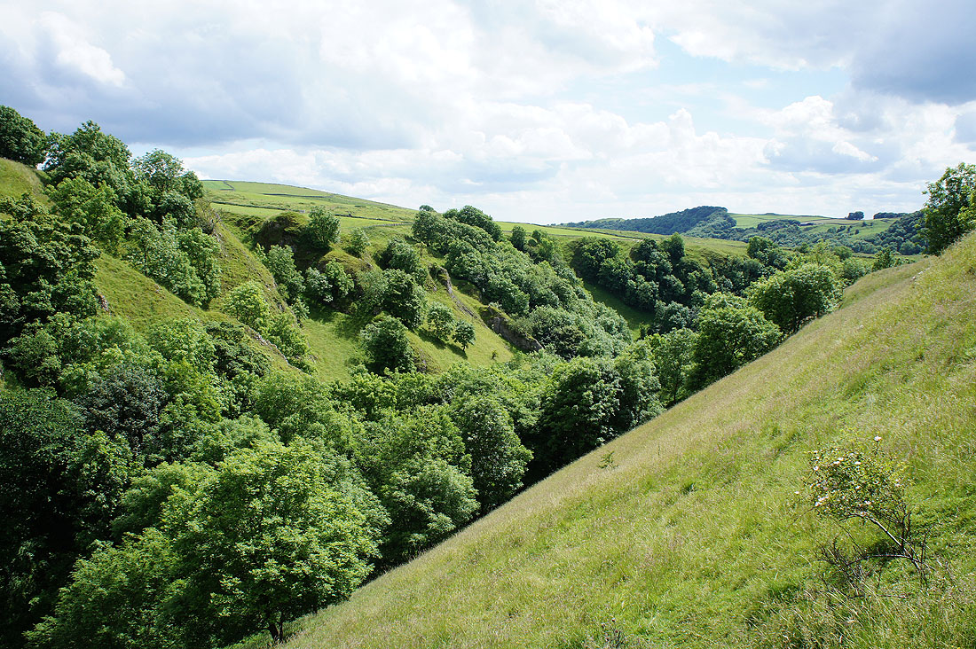
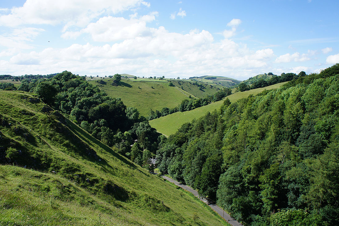
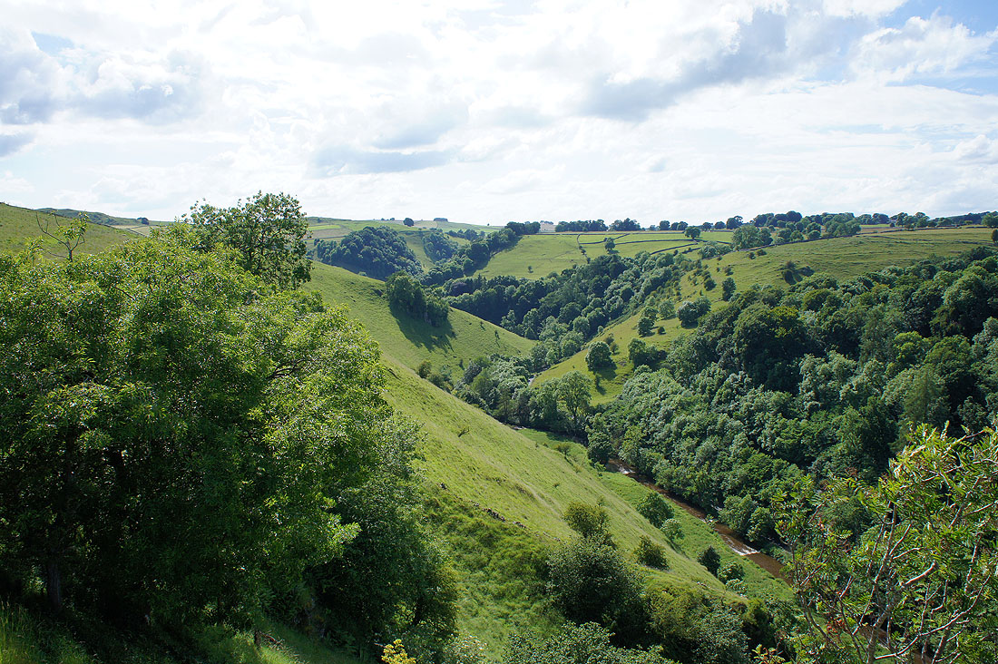
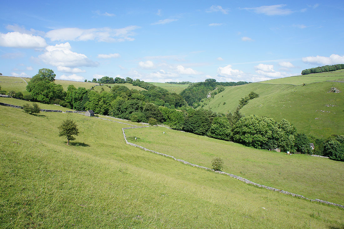
Looking back to Dovedale Wood as I take the path up to the eastern side of the valley
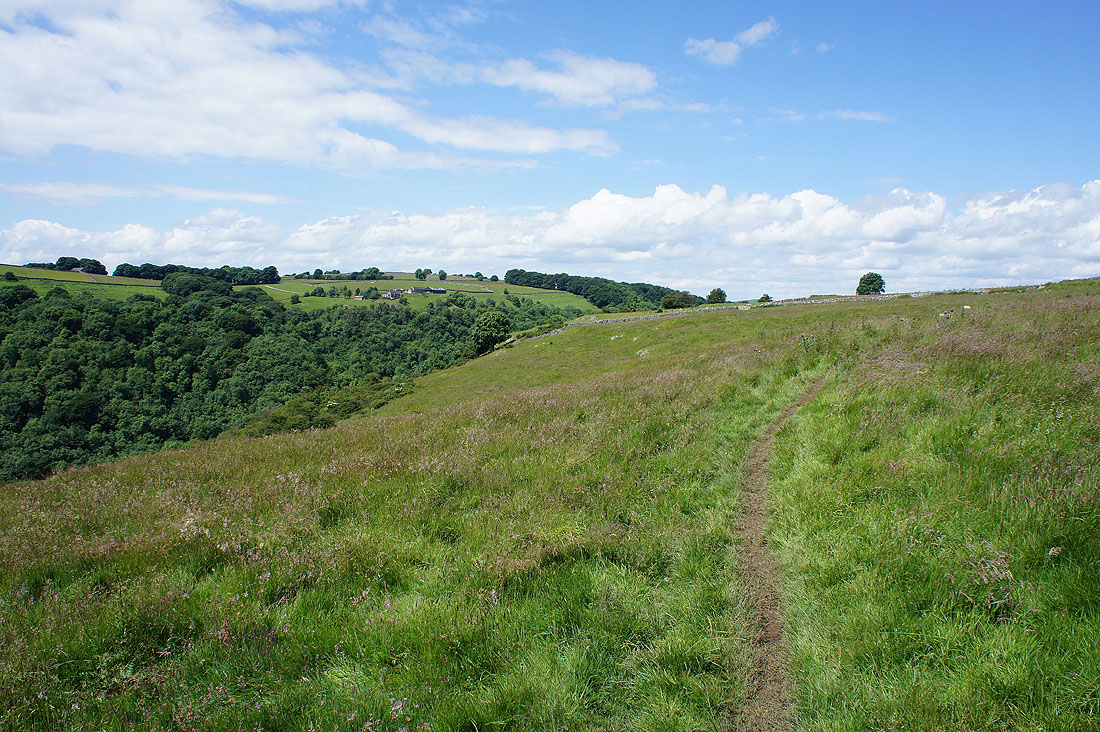
Time to head north on my favourite part of the walk. A concessionary path heads north along the eastern edge of Dove Dale.
A bit of Thorpe Cloud visible to the south
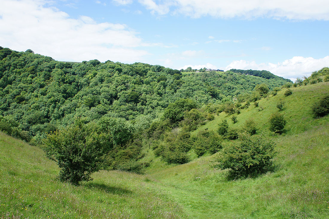
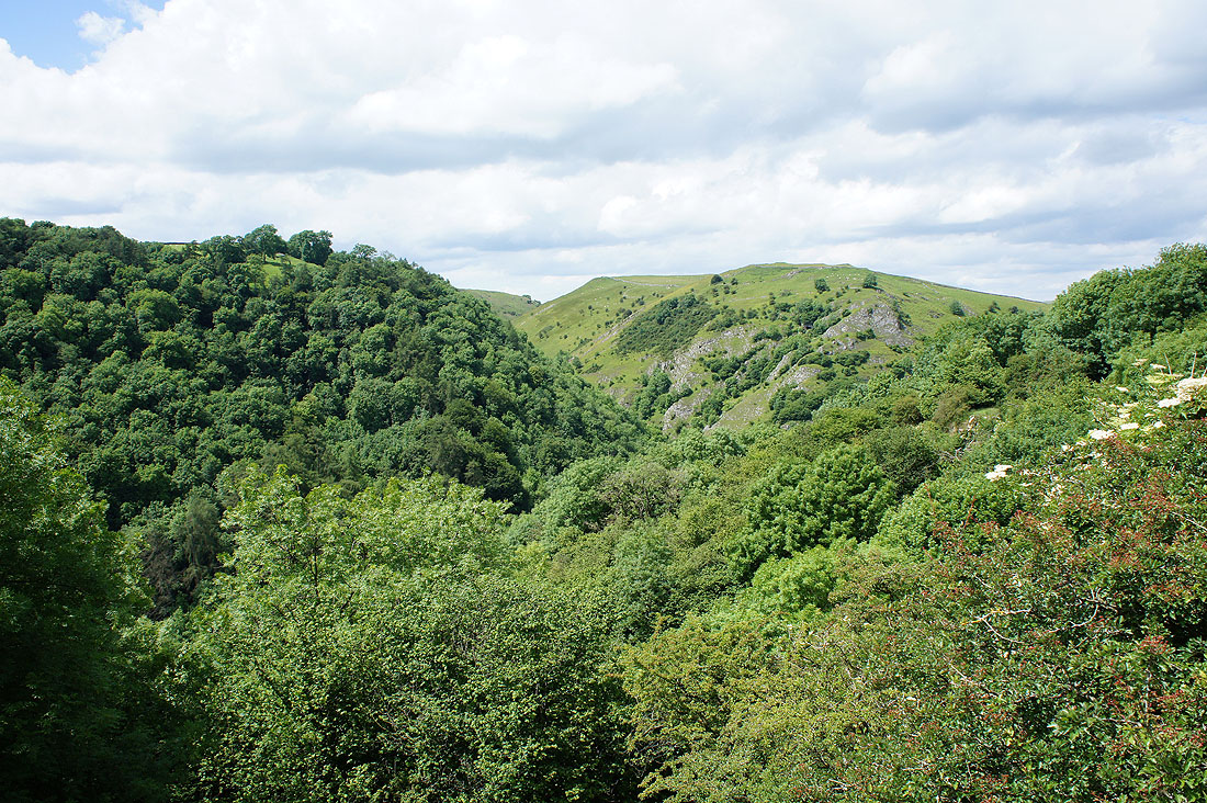
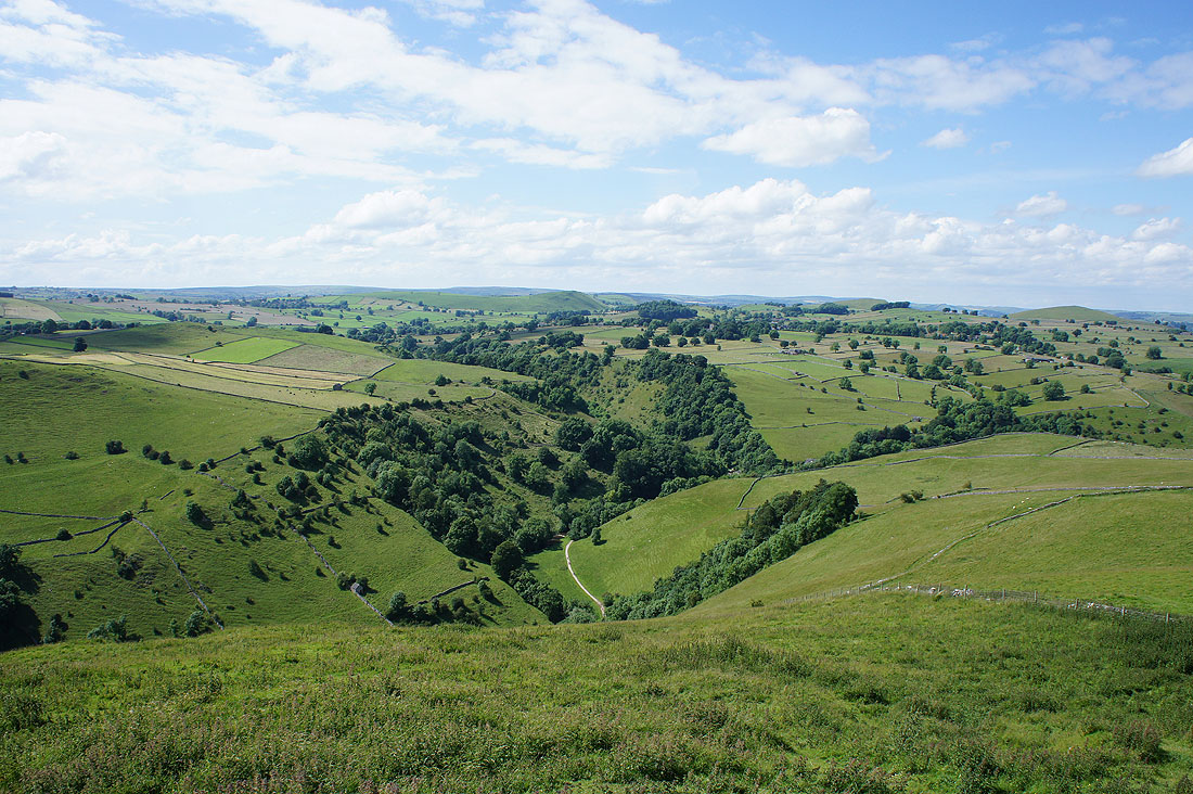
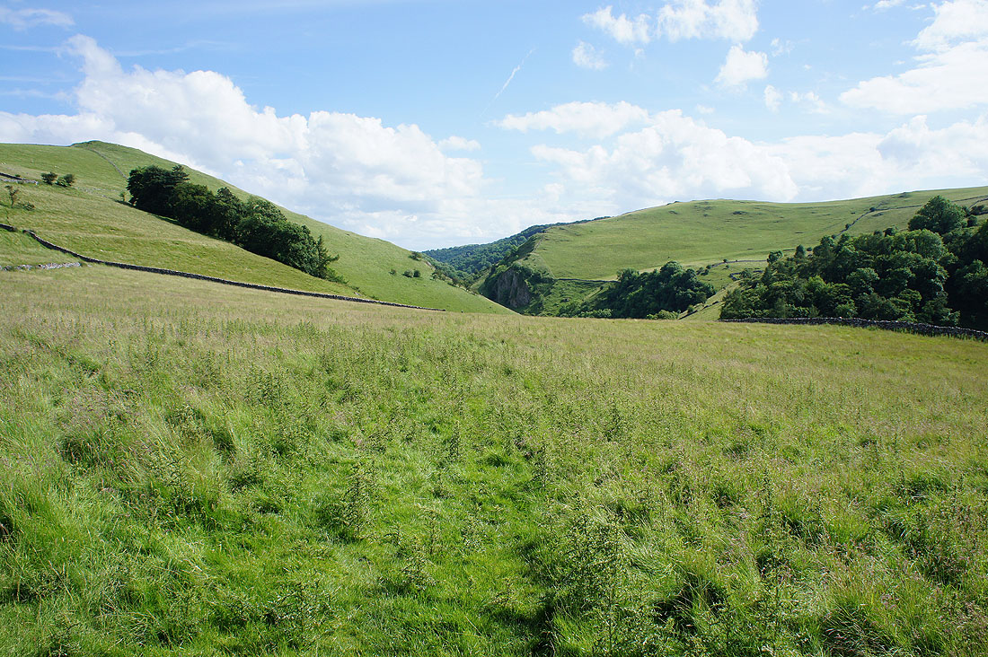
Looking across the top of the side valley of Sharplow Dale and up Dove Dale to where Hall Dale joins the main valley..
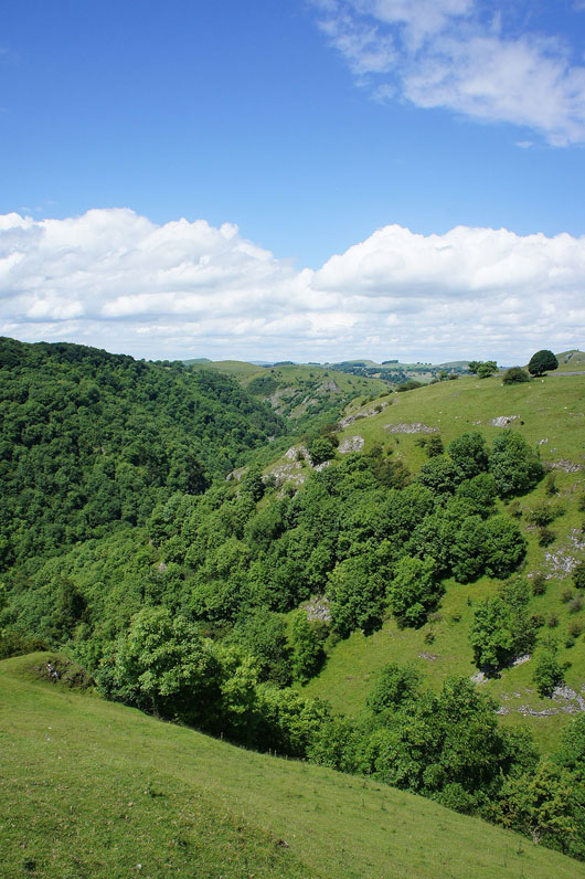
A rib of limestone juts out into Dove Dale. A visit to the top of it gave me another chance for a view up the valley.
A tree filled Dove Dale
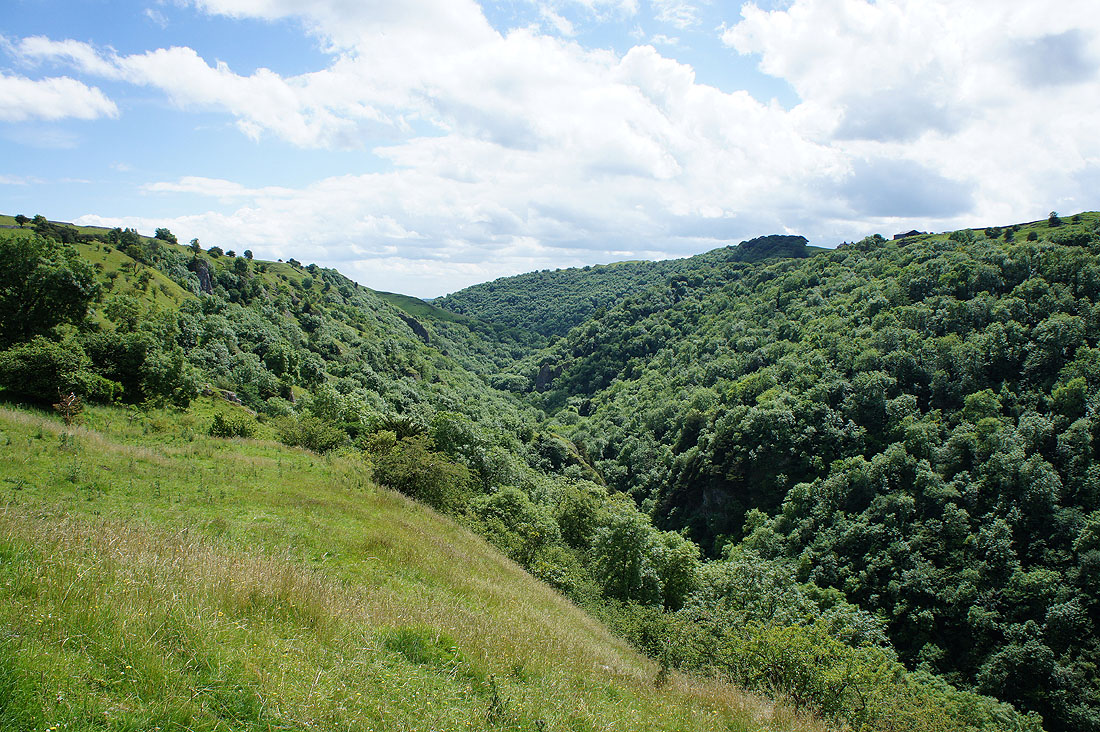
I'm almost opposite Hall Dale now and this is where I'll leave the top of the valley behind..
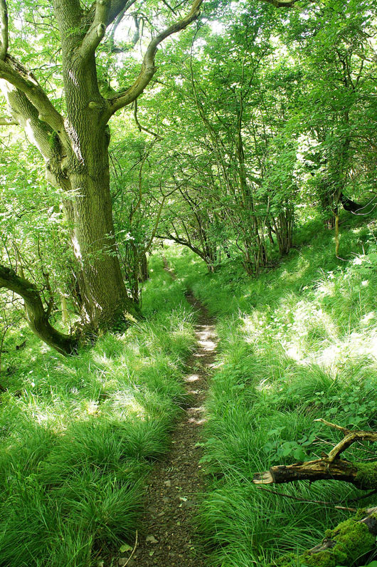
..and head down through Upper Taylor's Wood
I join the path along the valley floor by the Dove Holes
From Dove Holes I walked up this side valley to The Nabs where I realised that I could get onto the eastern edge of the valley again on access land
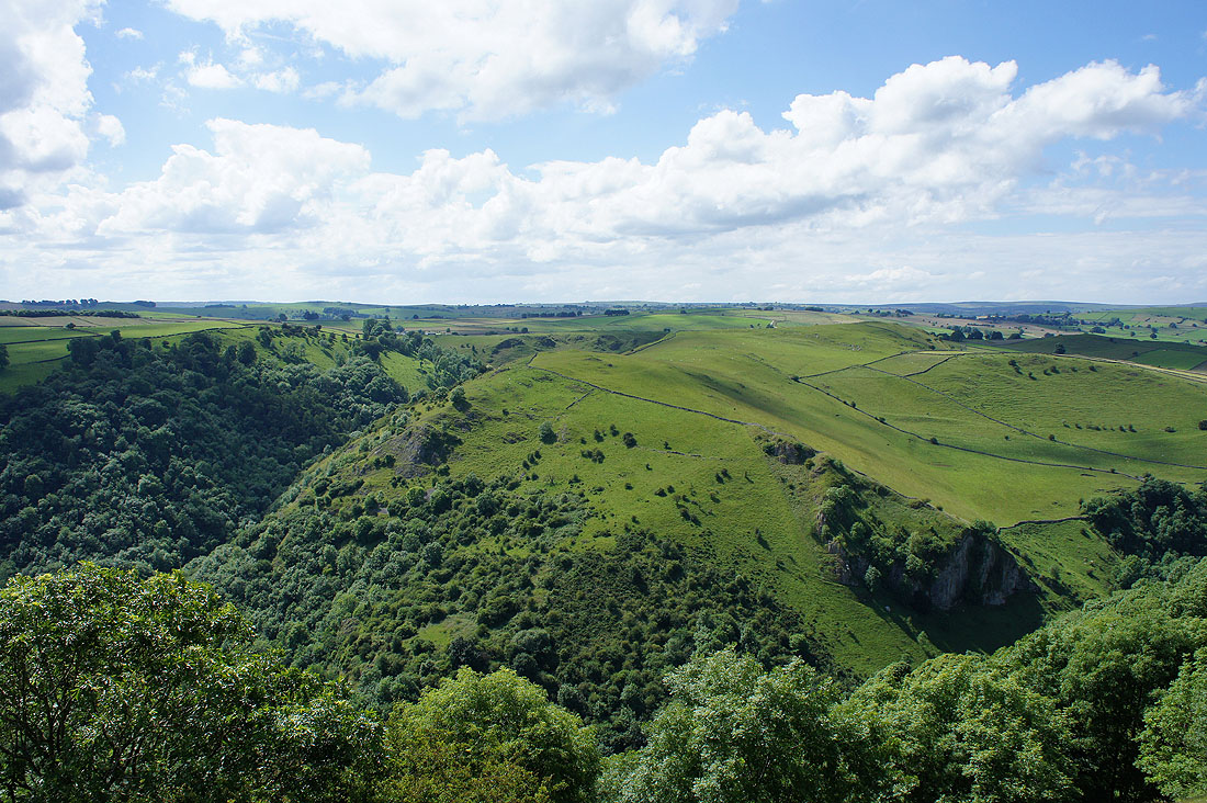
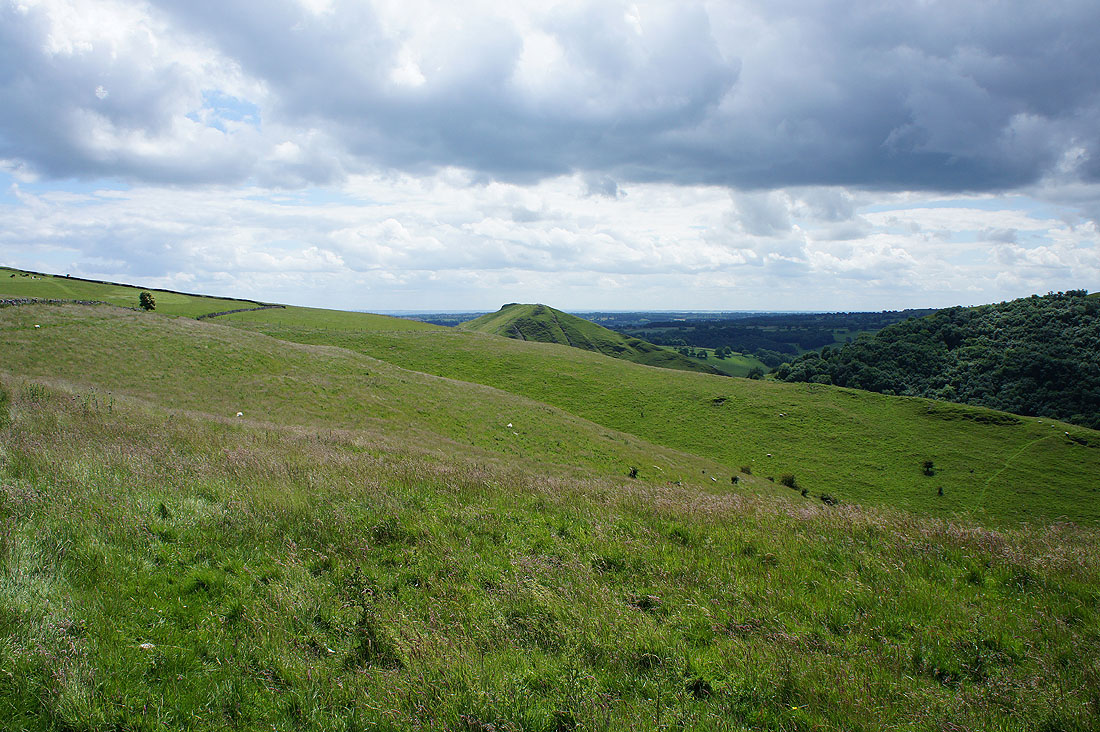
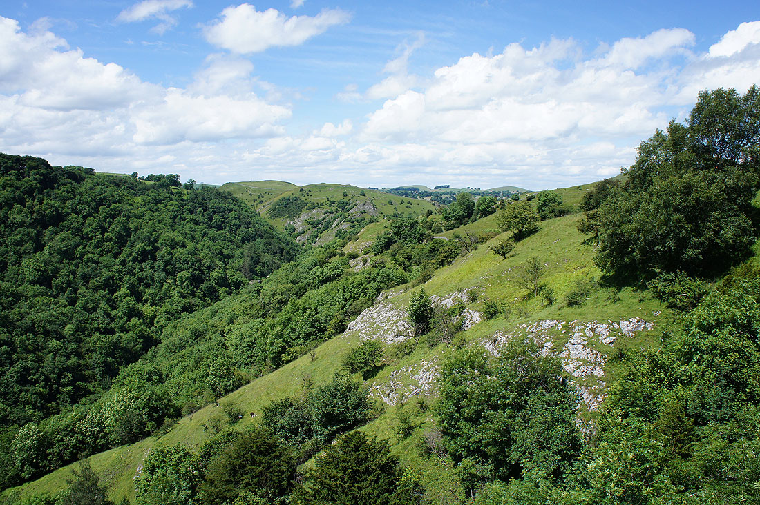
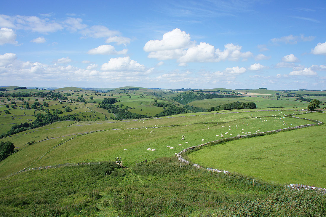
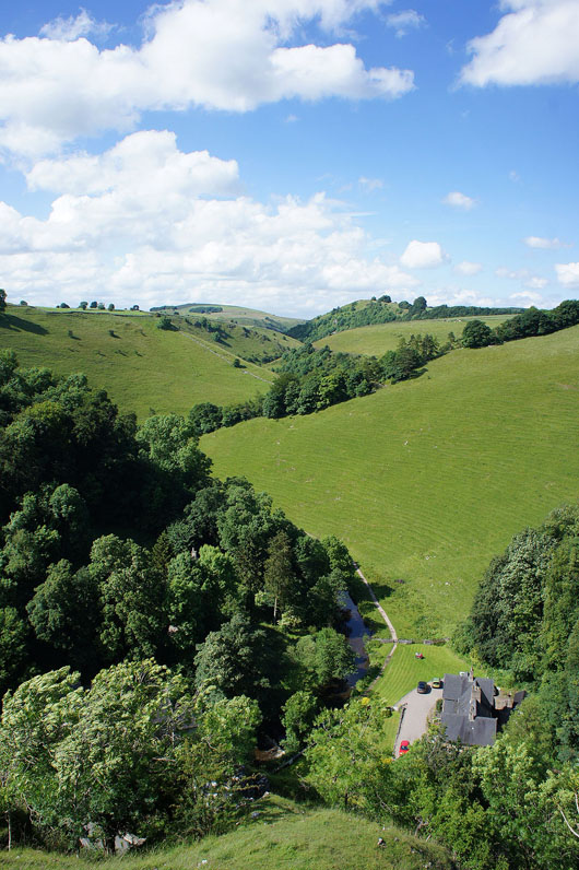
Great views open up as I reach Baley Hill. Looking west across Dove Dale to Hall Dale on the left and the limestone cliff of Raven's Tor below on the right.
and looking north to the limestone hills beyond Alstonefield. I'll have an even better view once I've crossed the top of the Baley Hill.
and here it is. It's a beautiful afternoon to take it in. Below Hopedale joins Dove Dale at the hamlet of Milldale and in the distance are Wetton Hill, Gateham Hill, Narrowdale Hill, Gratton Hill and the countryside around the villages of Wetton and Alstonefield.
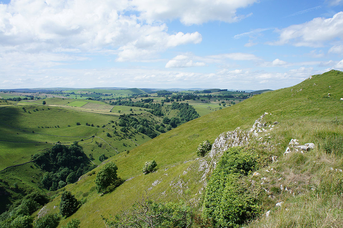
To the north Gratton Hill, Wolfscote Hill and Wolfscote Dale
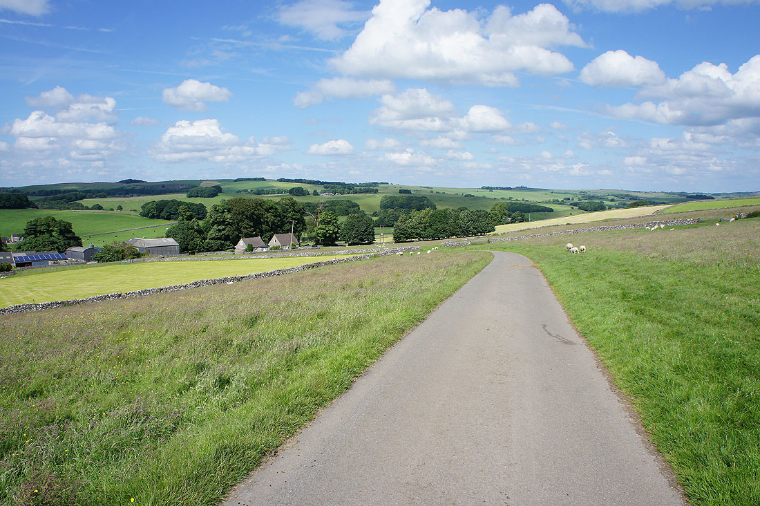
Having made it off access land to the footpath near Hanson Grange, down its driveway to Green Lane
After a brief walk west down Green Lane I take the path to Shining Tor with improving views of Wolfscote Dale
Looking north up Wolfscote Dale from Shining Tor
and west along Mill Dale
Raven's Tor to the south as I head down to Milldale..
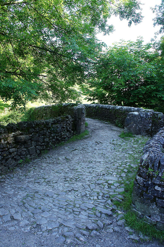
..and across Viator's Bridge
There's an ice-cream at Polly's Cottage with my name on it
Ice-cream had there's just a short walk back to Alstonefield. Looking east along Milldale as I head up the path to Millway Lane.
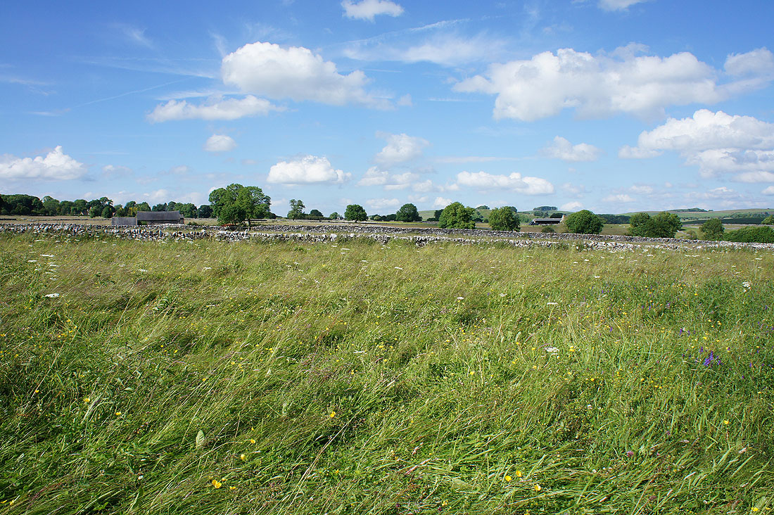
The surrounding fields look great under blue skies in late afternoon sunshine.....
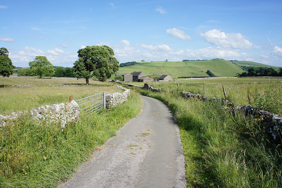
A last look down Millway Lane..
..and I'm back in Alstonefield