3rd June 2018 - Tideswell Dale and Cressbrook Dale
Walk Details
Distance walked: 12.2 miles
Total ascent: 2354 ft
OS map used: OL24 - The Peak District, White Peak area
Time taken: 6.5 hrs
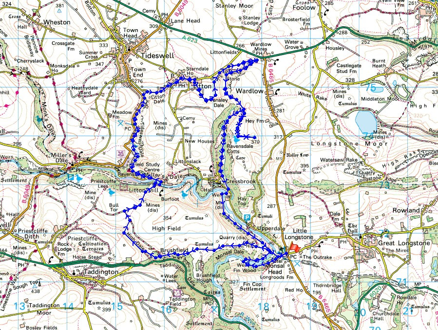
Route description: Monsal Head-Monsal Dale-Brushfield-High Dale-Litton Mill-Miller's Dale-Tideswell Dale-Litton-Tansley Dale-Cressbrook Dale-Wardlow Hay Cop-Cressbrook Dale-Cressbrook-Monsal Trail-Monsal Head
I decided to have a walk in the Peak District today after working out this route from Monsal Head. I've started from there several times now so what I came up with was just a variation of what I've done before. I did have to include Cressbrook Dale, one of my favourite White Peak dales, and the top of Wardlow Hay Cop, so that I could take in the view from it. It was a beautiful early summer's day, lots of warm sunshine and a gentle breeze, perfect for taking in the buttercup filled fields, the hawthorn in flower and great views across the White Peak.
From the car park at Monsal Head I took the footpath down into Monsal Dale and past the weir on the River Wye to cross the footbridge over the river. I then walked back up the valley to the viaduct where I climbed up to reach the Monsal Trail that runs across it. I soon left it though for the byway that heads west above Monsal Dale to reach Brushfield. After a brief walk down the road towards Taddington Dale I took the footpath up High Dale. When the dale turned to the left I took a footpath up a side valley on the right to reach a byway on the hillside above. I followed this north and when it turned to the left I took the footpath up and over the hill and down to Litton Mill. I crossed the River Wye then walked west along the road from Litton Mill to reach the footpath up Tideswell Dale. This footpath took me up the dale past the car park and picnic site to the road to Litton. After a break for coffee and cake in Litton I then took the footpath south across fields to Tansley Dale, where I kept to the top of access land, and as I made my way north up Cressbrook Dale. When I reached the top of Cressbrook Dale I followed the valley path south until just past where Tansley Dale joins Cressbrook Dale where I took the path up the side of the valley. At its top I used access land to do a there and back visit to the trig point on Wardlow Hay Cop. Having retraced my steps I followed the path down Cressbrook Dale to Ravensdale Cottages. I then had a walk along the road to reach Cressbrook. The concessionary footpath at Cressbrook Mill was used to cross the River Wye and join the Monsal Trail, which took me back to where I was parked at Monsal Head.
Total ascent: 2354 ft
OS map used: OL24 - The Peak District, White Peak area
Time taken: 6.5 hrs
Route description: Monsal Head-Monsal Dale-Brushfield-High Dale-Litton Mill-Miller's Dale-Tideswell Dale-Litton-Tansley Dale-Cressbrook Dale-Wardlow Hay Cop-Cressbrook Dale-Cressbrook-Monsal Trail-Monsal Head
I decided to have a walk in the Peak District today after working out this route from Monsal Head. I've started from there several times now so what I came up with was just a variation of what I've done before. I did have to include Cressbrook Dale, one of my favourite White Peak dales, and the top of Wardlow Hay Cop, so that I could take in the view from it. It was a beautiful early summer's day, lots of warm sunshine and a gentle breeze, perfect for taking in the buttercup filled fields, the hawthorn in flower and great views across the White Peak.
From the car park at Monsal Head I took the footpath down into Monsal Dale and past the weir on the River Wye to cross the footbridge over the river. I then walked back up the valley to the viaduct where I climbed up to reach the Monsal Trail that runs across it. I soon left it though for the byway that heads west above Monsal Dale to reach Brushfield. After a brief walk down the road towards Taddington Dale I took the footpath up High Dale. When the dale turned to the left I took a footpath up a side valley on the right to reach a byway on the hillside above. I followed this north and when it turned to the left I took the footpath up and over the hill and down to Litton Mill. I crossed the River Wye then walked west along the road from Litton Mill to reach the footpath up Tideswell Dale. This footpath took me up the dale past the car park and picnic site to the road to Litton. After a break for coffee and cake in Litton I then took the footpath south across fields to Tansley Dale, where I kept to the top of access land, and as I made my way north up Cressbrook Dale. When I reached the top of Cressbrook Dale I followed the valley path south until just past where Tansley Dale joins Cressbrook Dale where I took the path up the side of the valley. At its top I used access land to do a there and back visit to the trig point on Wardlow Hay Cop. Having retraced my steps I followed the path down Cressbrook Dale to Ravensdale Cottages. I then had a walk along the road to reach Cressbrook. The concessionary footpath at Cressbrook Mill was used to cross the River Wye and join the Monsal Trail, which took me back to where I was parked at Monsal Head.
Route map
© Crown copyright. All rights reserved. License number PU 100034184.
Taking in this view from Monsal Head is a great way to start a walk and today it's the best that I've seen it
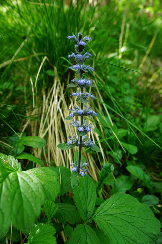
Bugle. In the woods by the path down into Monsal Dale.
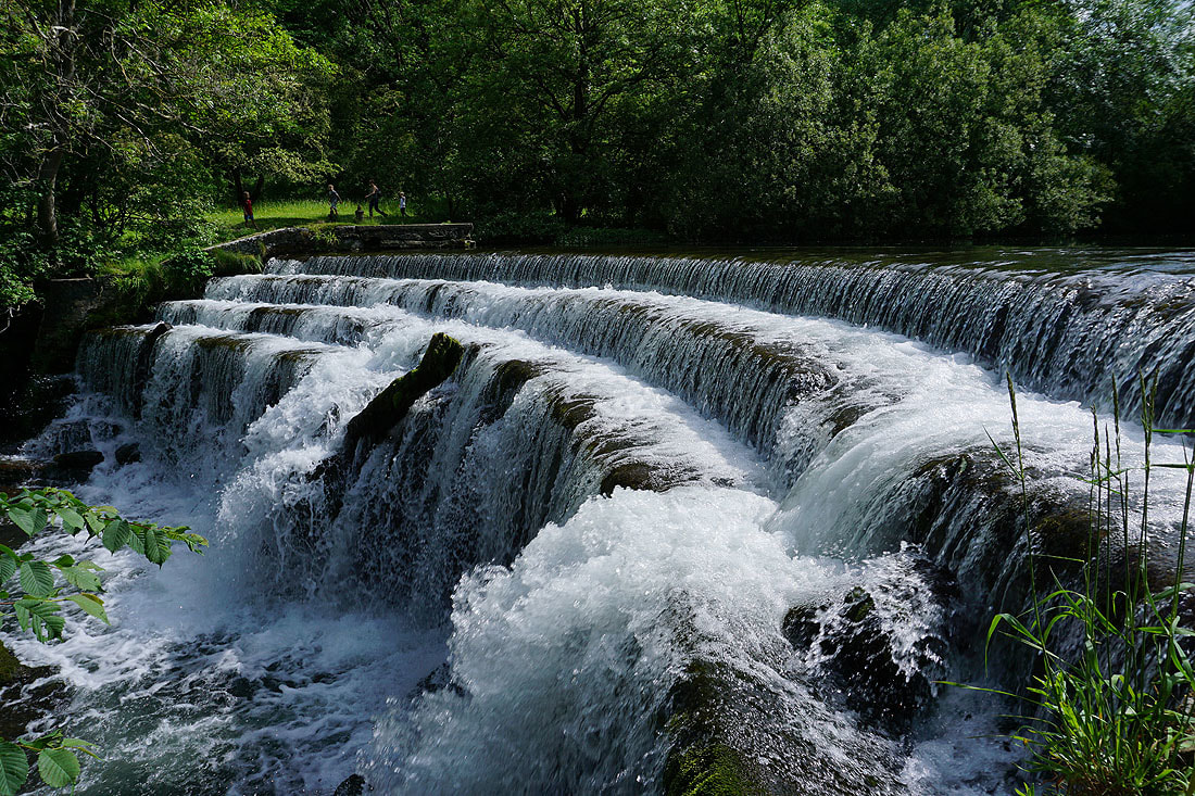
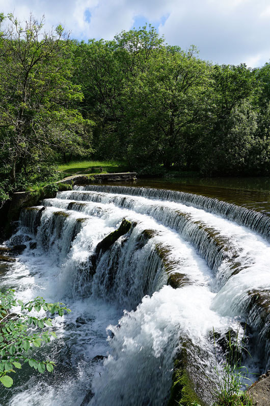
The weir on the River Wye in Monsal Dale..
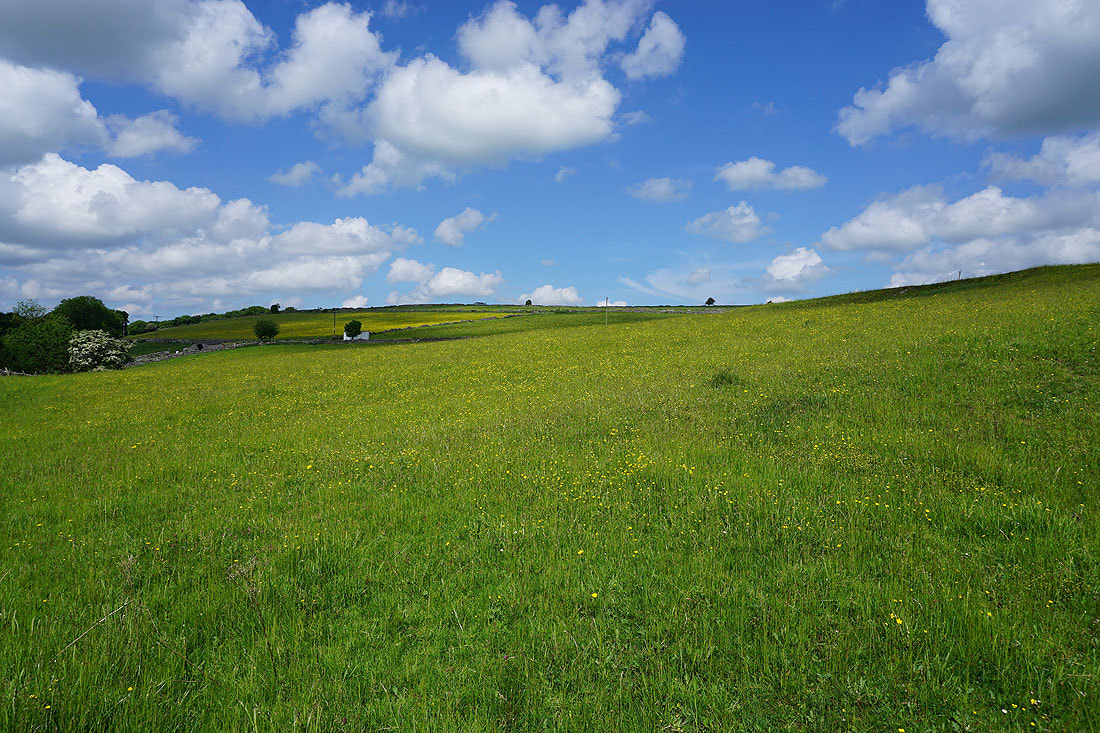
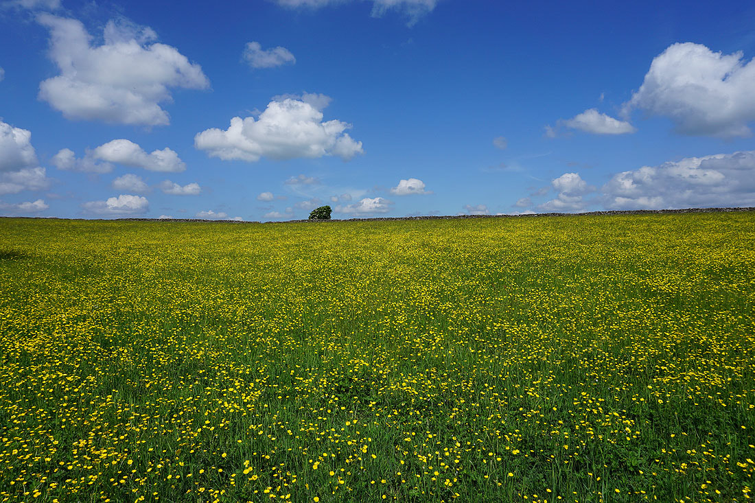
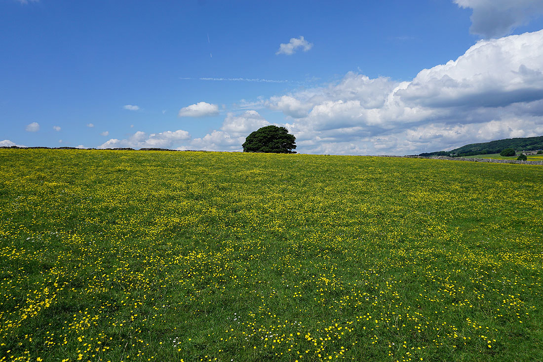
A buttercup filled meadow..
..by the byway to Brushfield
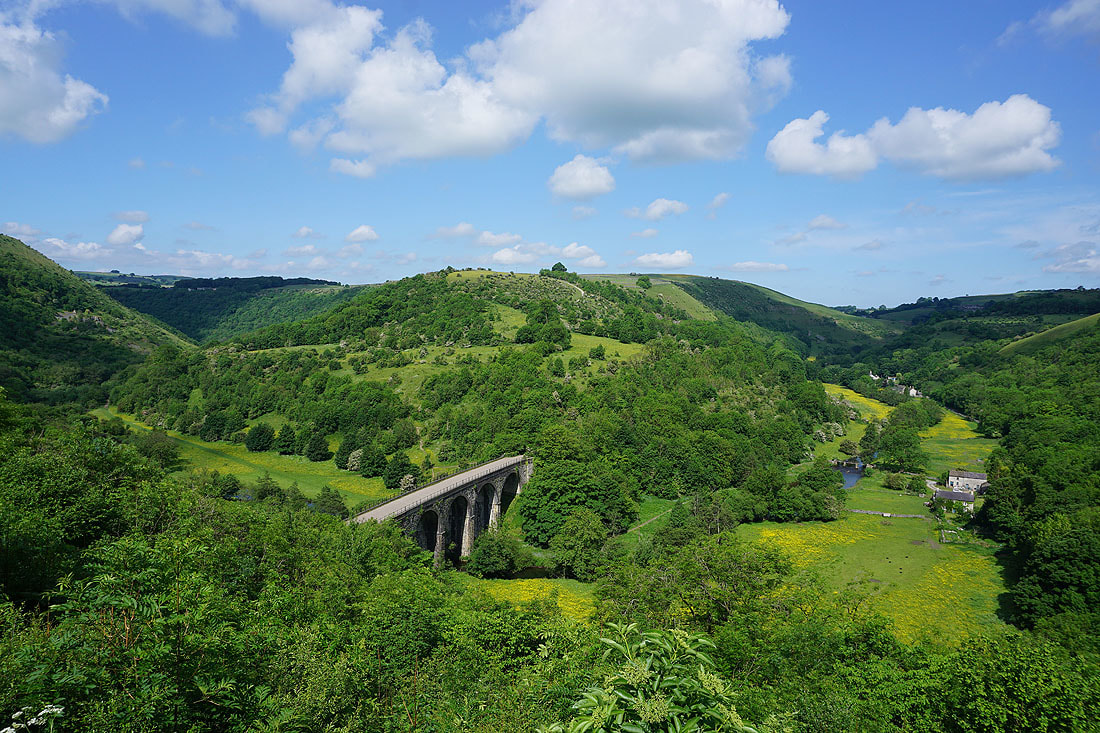
Looking across to Fin Cop and Monsal Dale
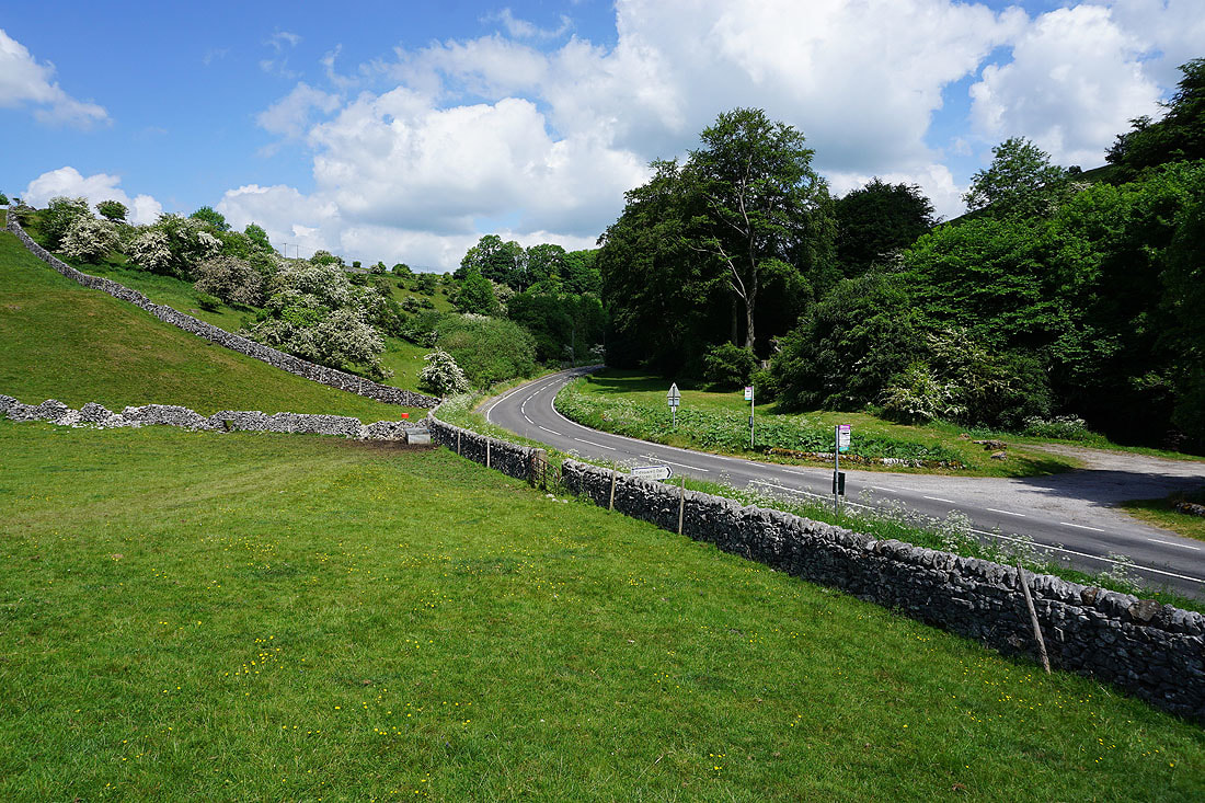
The byway heads down to Taddington Dale
It's a beautiful early summer's morning
Making my way through Brushfield
On the footpath up High Dale
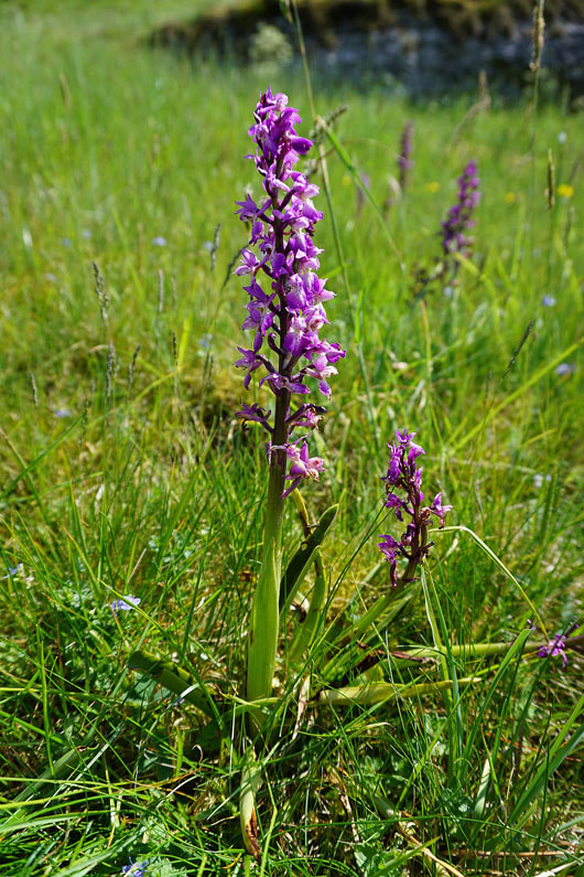
Early purple orchids
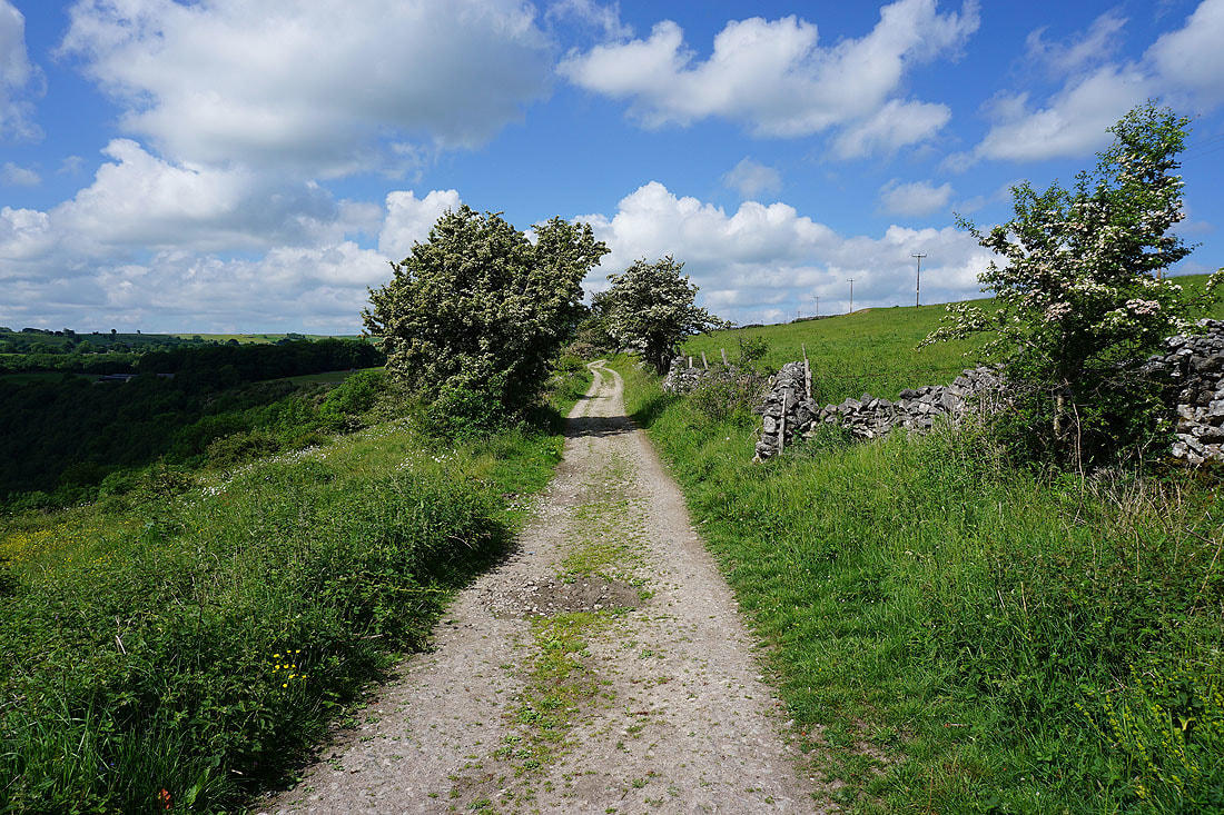
Lots of hawthorn in flower as I leave the path up High Dale
Looking back towards High Dale
Lots of cow parsley..
..and buttercups..
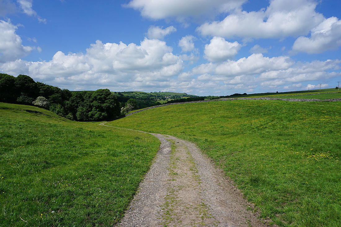
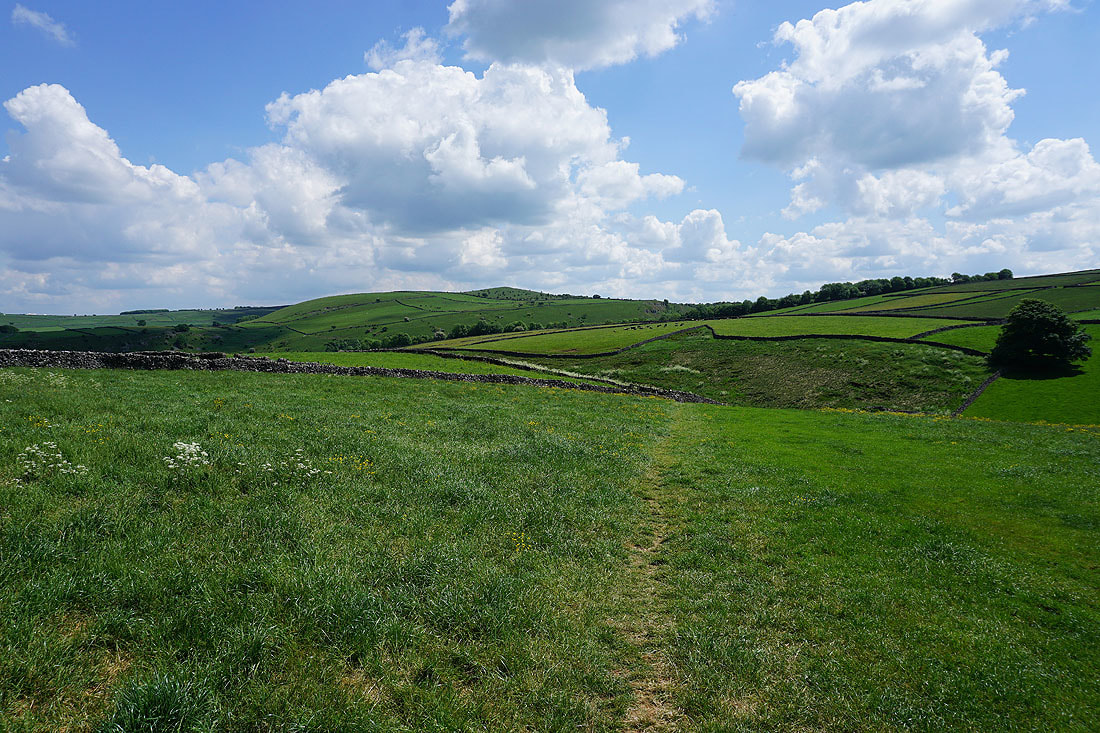
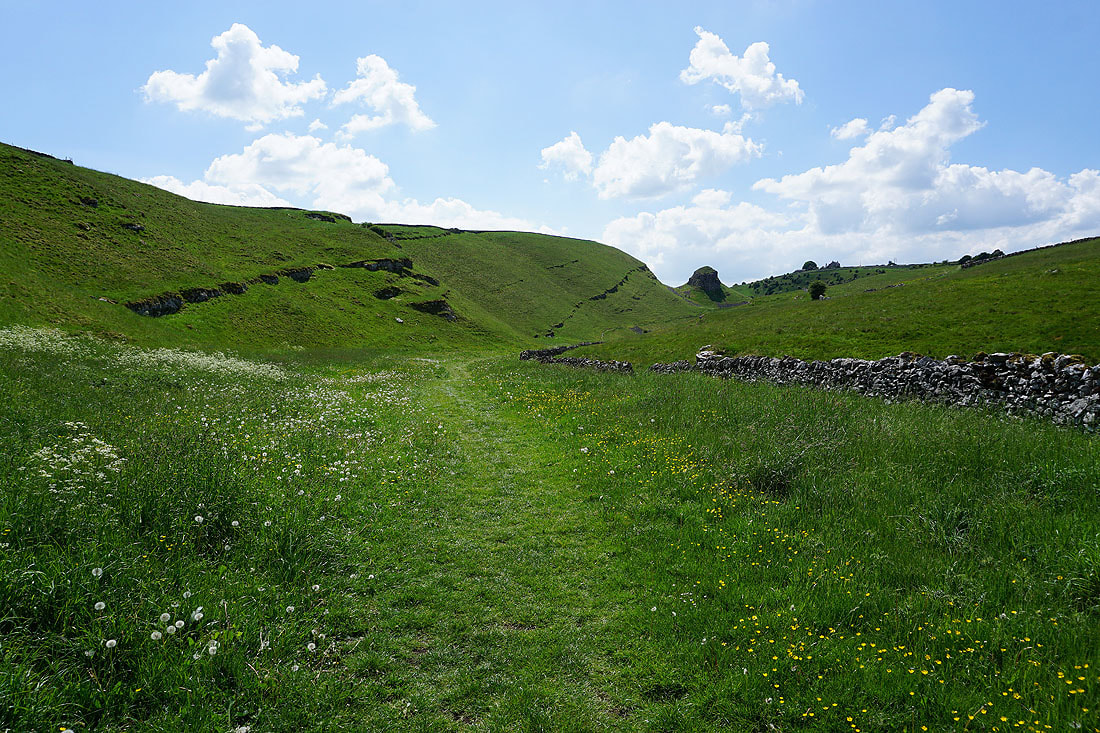
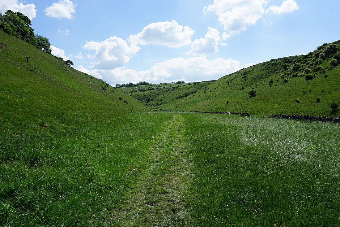
Tideswell Dale in front of me as..
..I head down to Miller's Dale
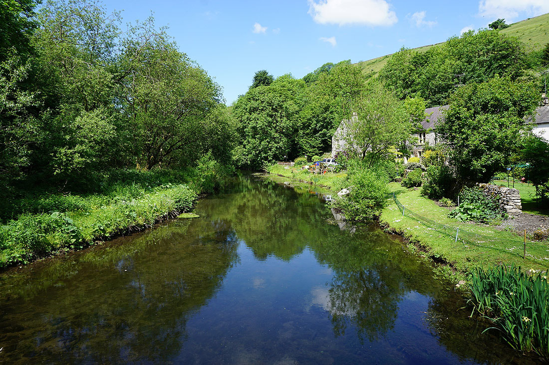
Crossing the River Wye at Litton Mill
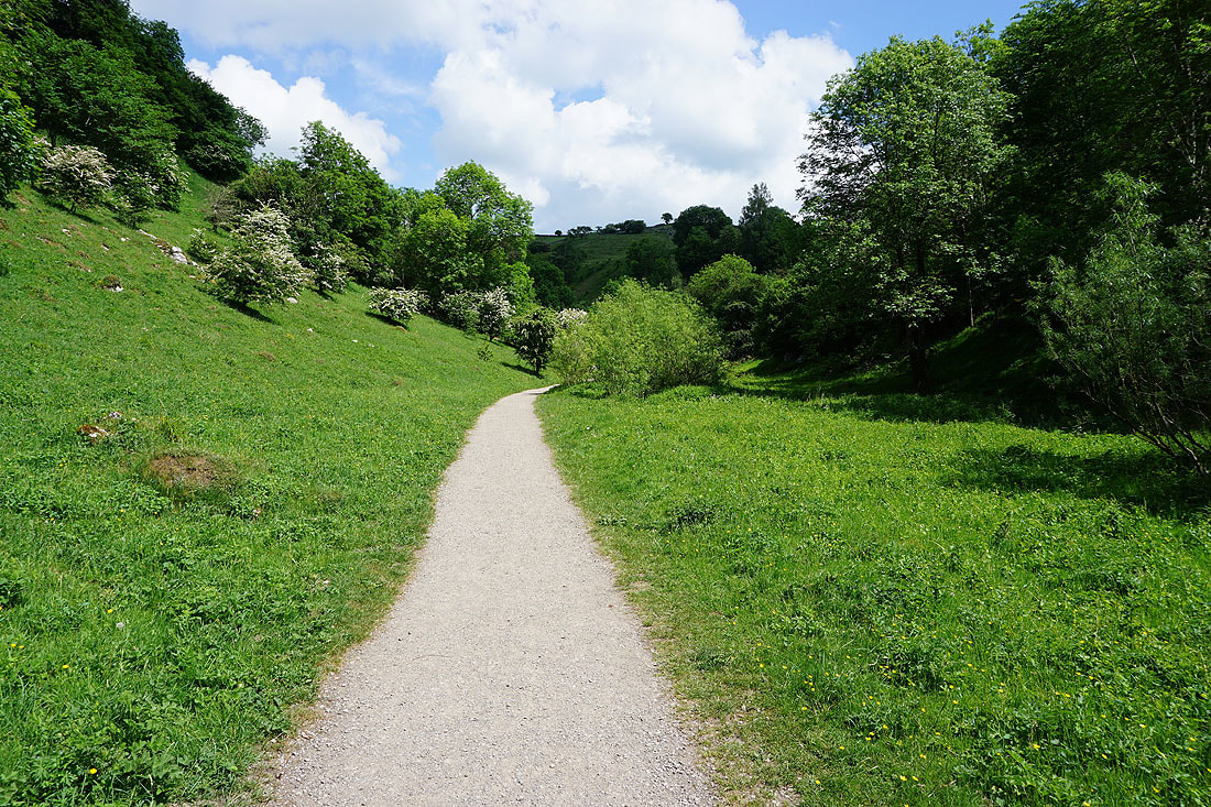
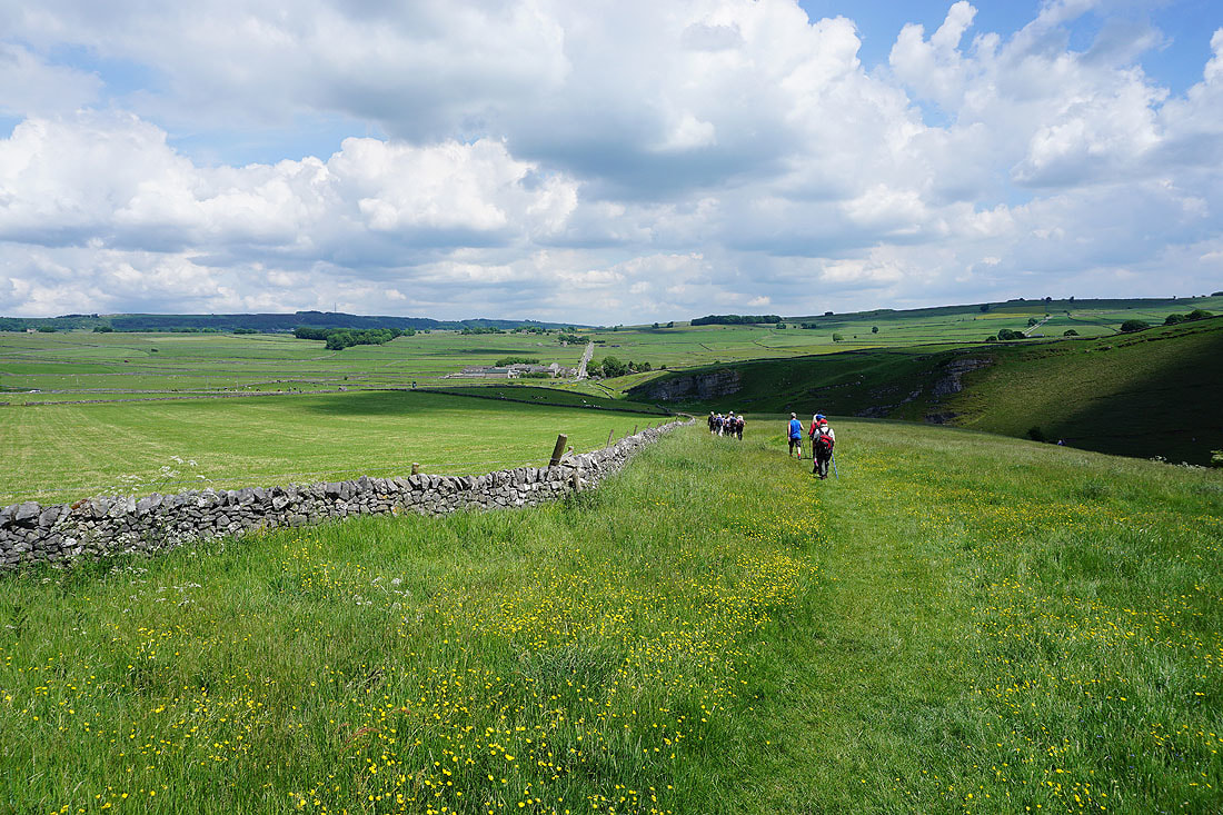
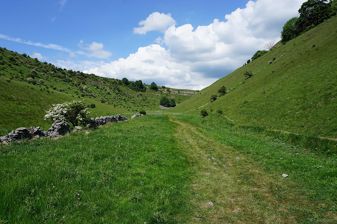
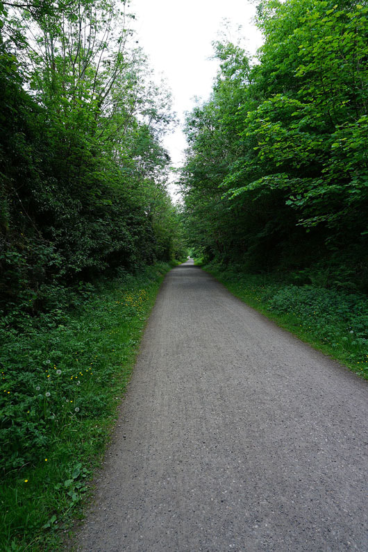
Following the path up Tideswell Dale past the picnic site...
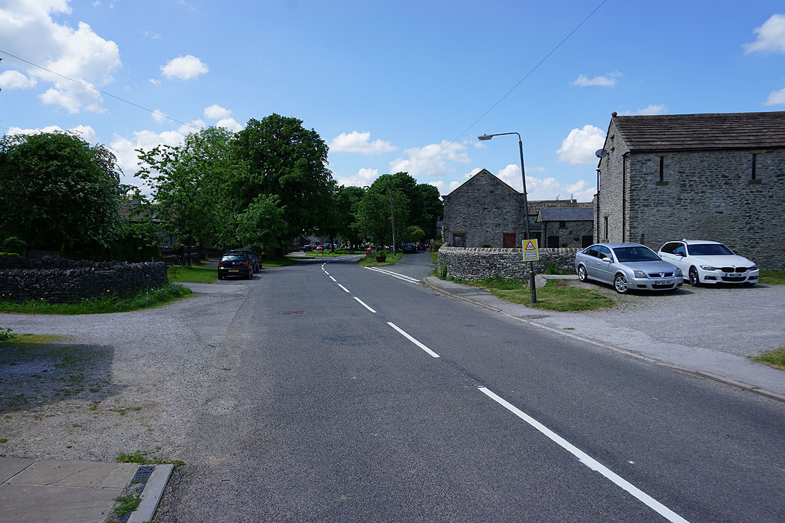
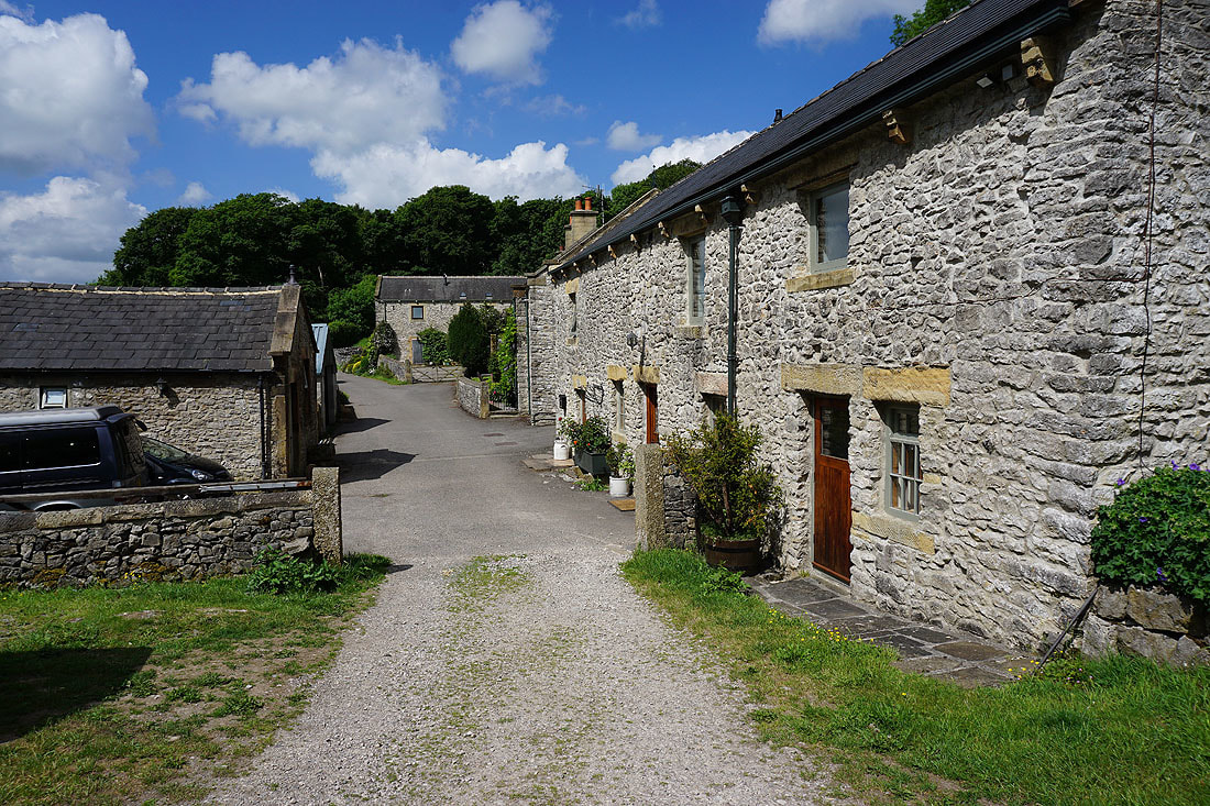
The village of Litton. I stopped here for coffee and cake at the local shop.
Heading for Tansley Dale
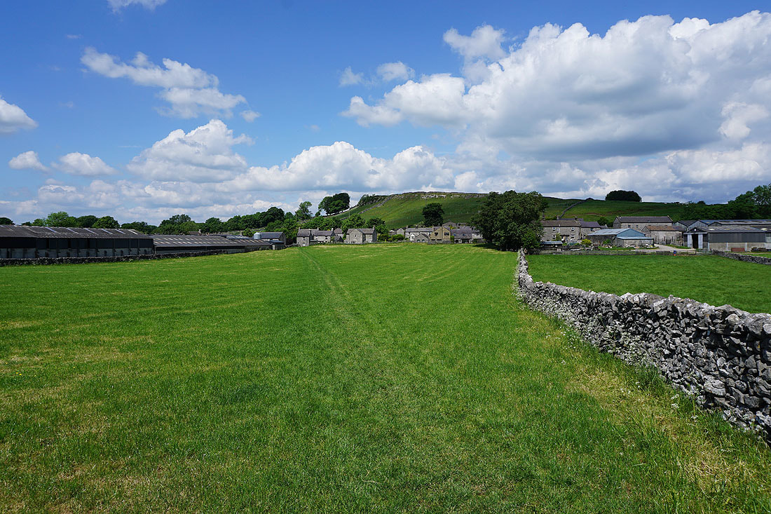
Looking back to Litton backed by Litton Edge
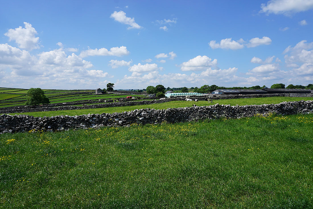
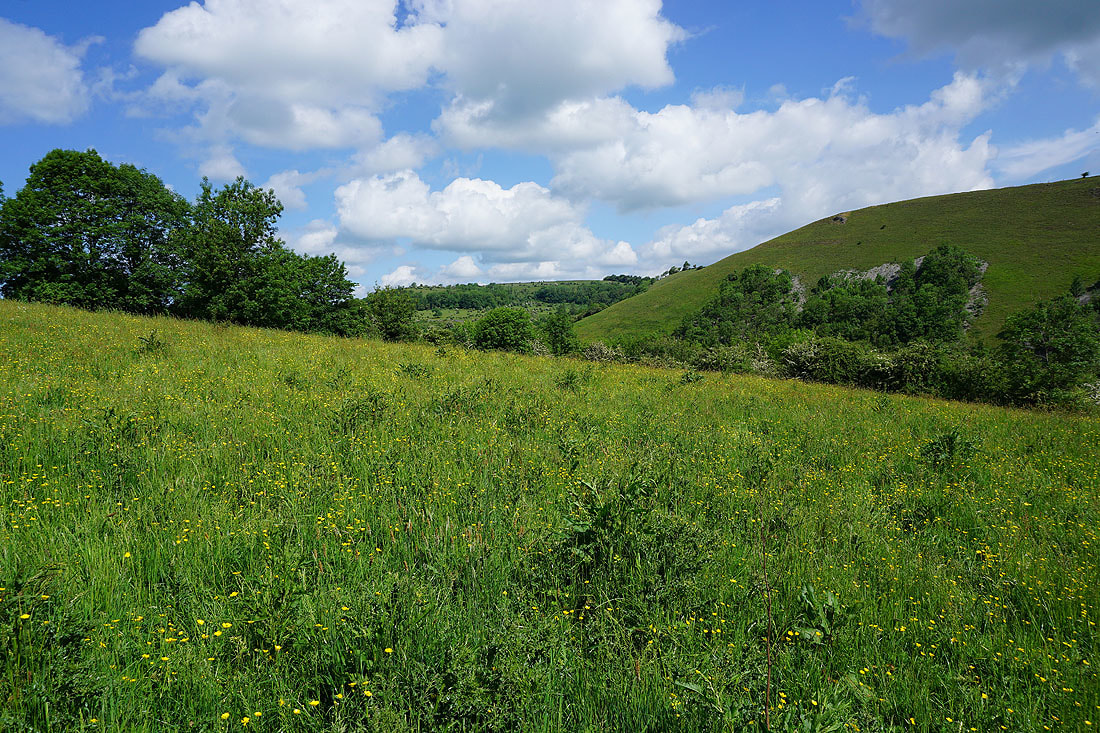
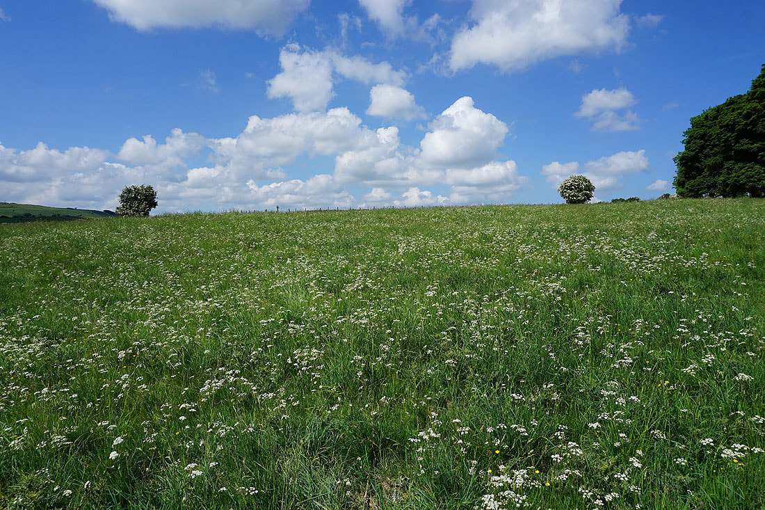
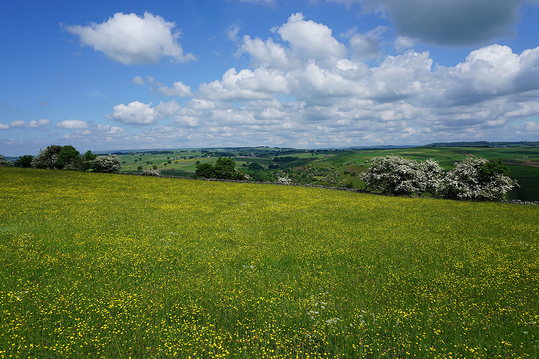
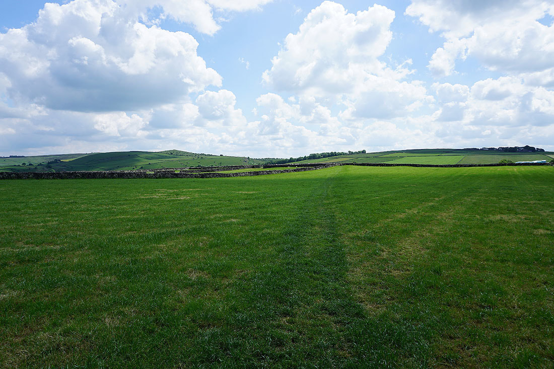
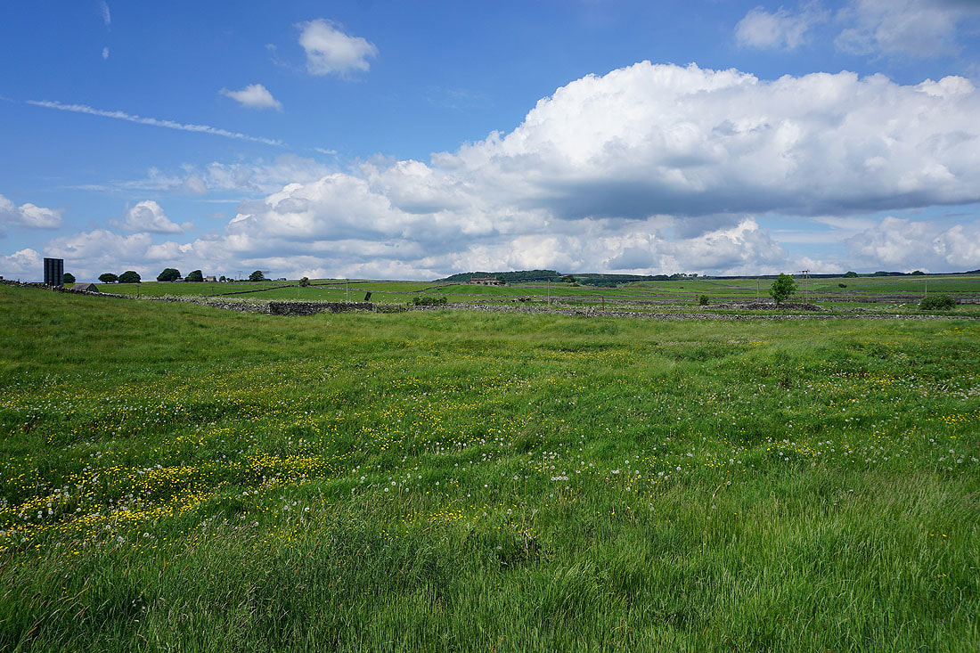
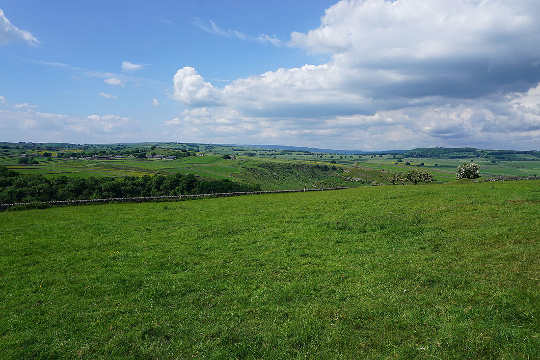
Beautiful White Peak countryside with lots of limestone walls
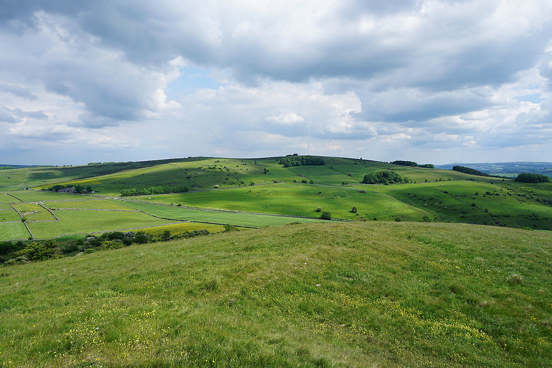
Wardlow Hay Cop in the middle of the photo as I approach Tansley Dale
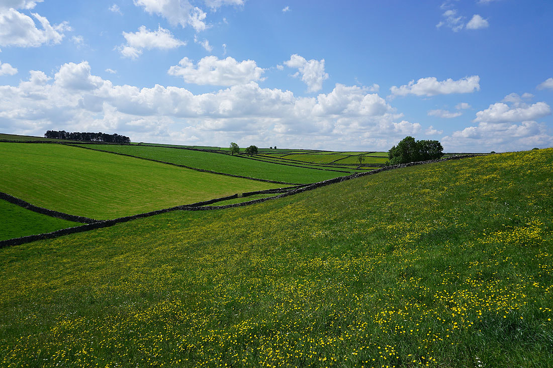
More classic White Peak countryside
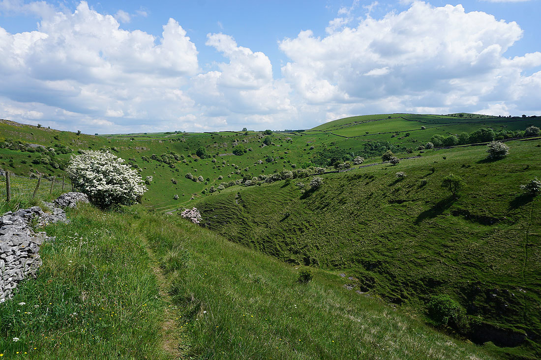
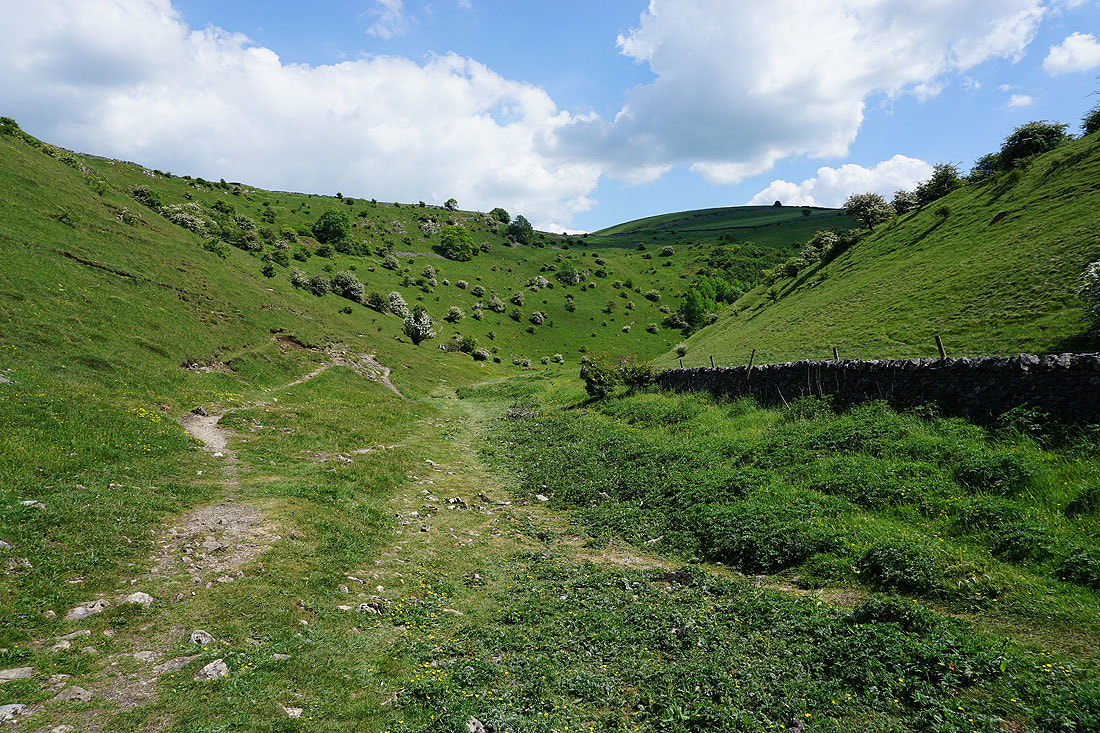
On the path at the top of access land in Tansley Dale with Cressbrook Dale ahead
Looking up..
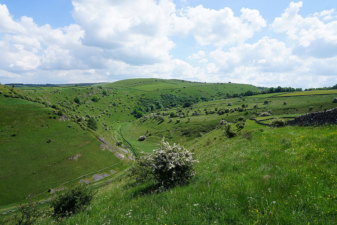
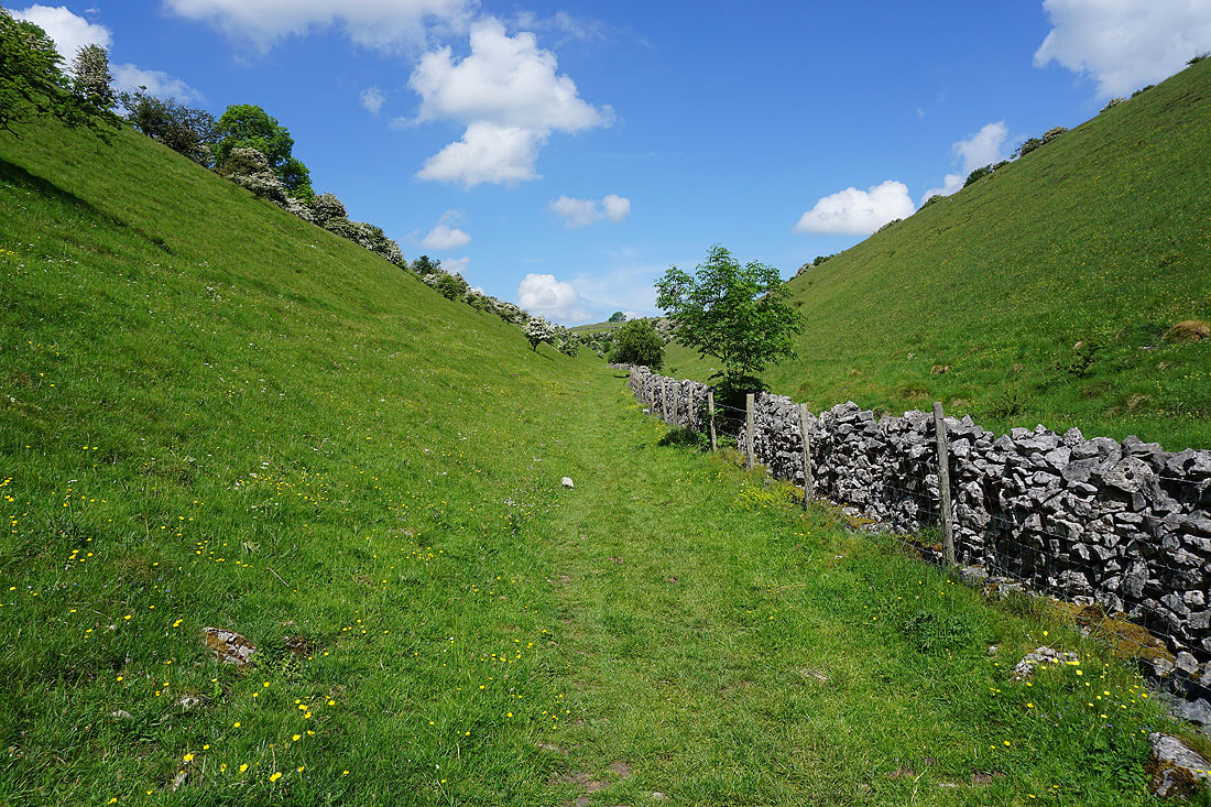
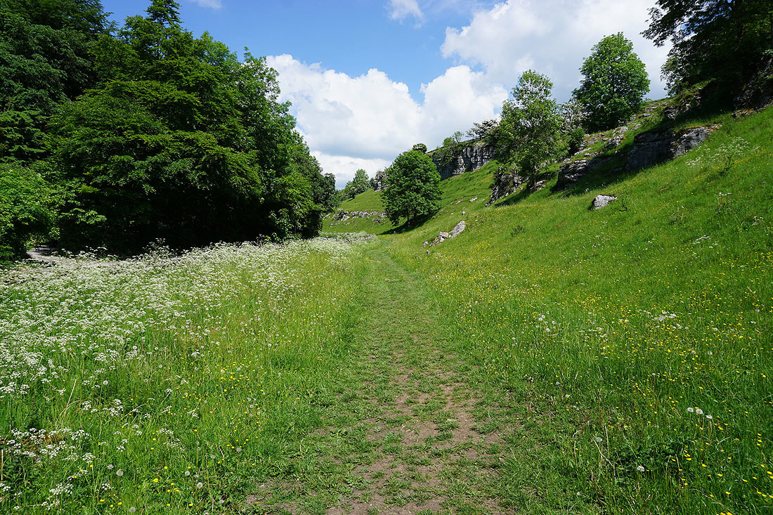
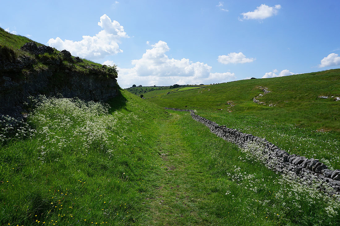
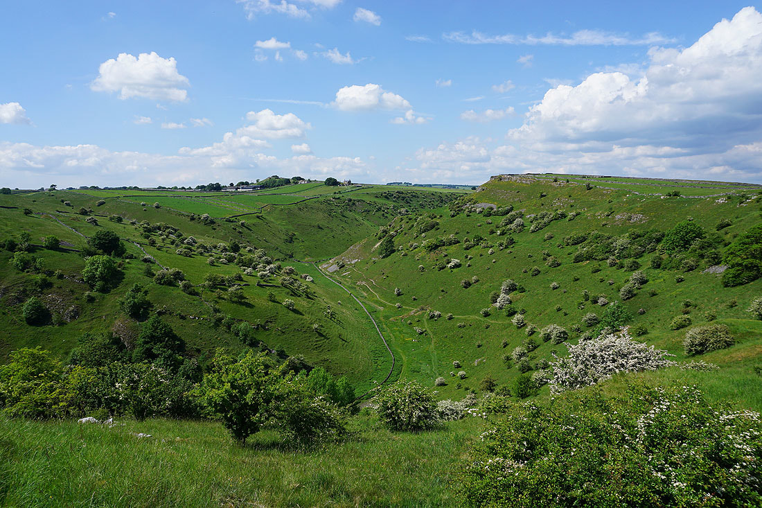
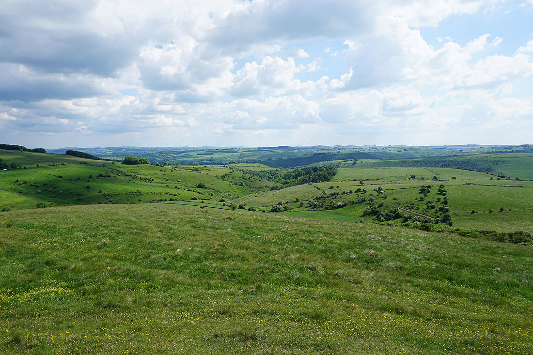
..and down Cressbrook Dale from the path at the top of access land
This valley top path is a joy to follow
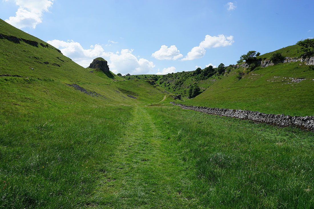
Peter's Stone on the other side of Cressbrook Dale..
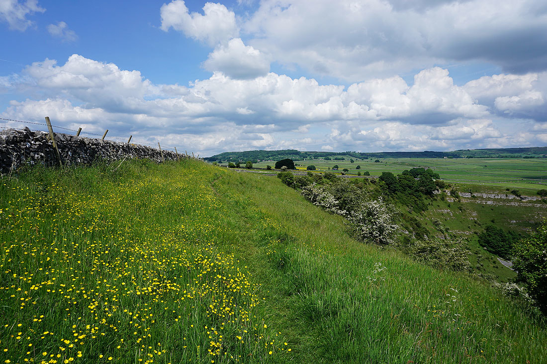
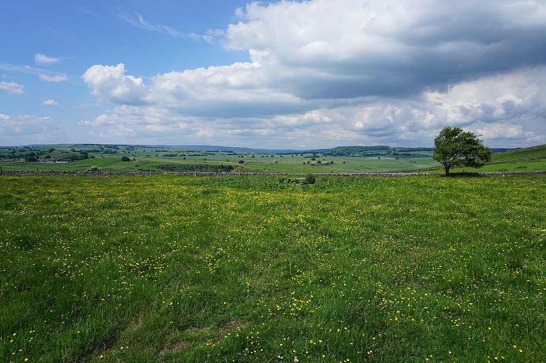
When I reached Mires Lane I couldn't resist popping across the road to take a photo of this buttercup filled field
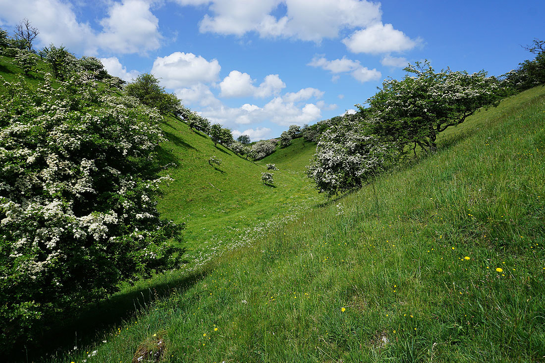
Heading for the top of Cressbrook Dale
Hucklow Edge in the distance
Making my way down Cressbrook Dale....
|
|
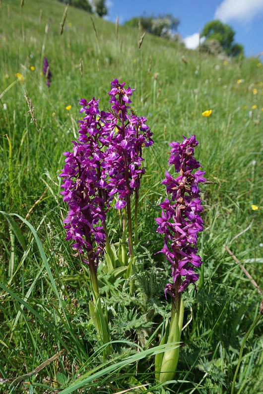
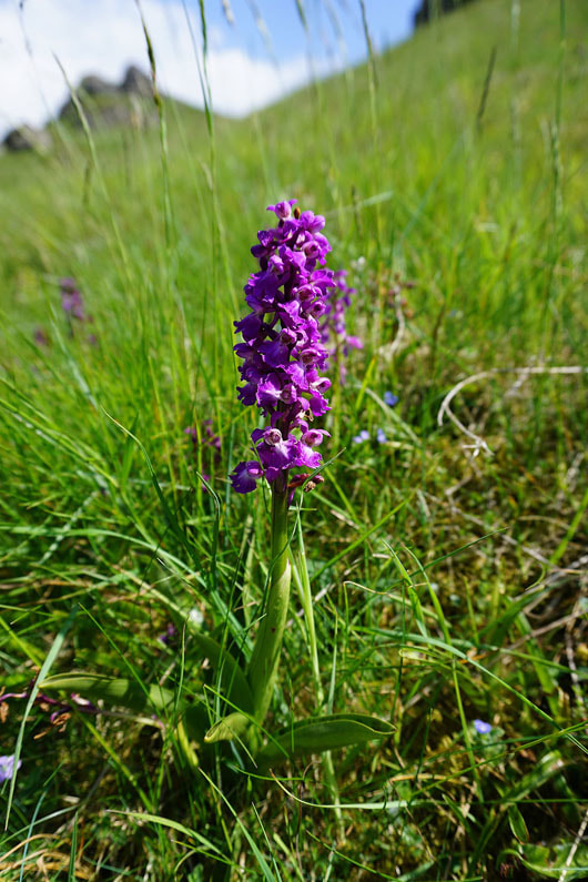
Early purple orchids. Most of them were past their best.
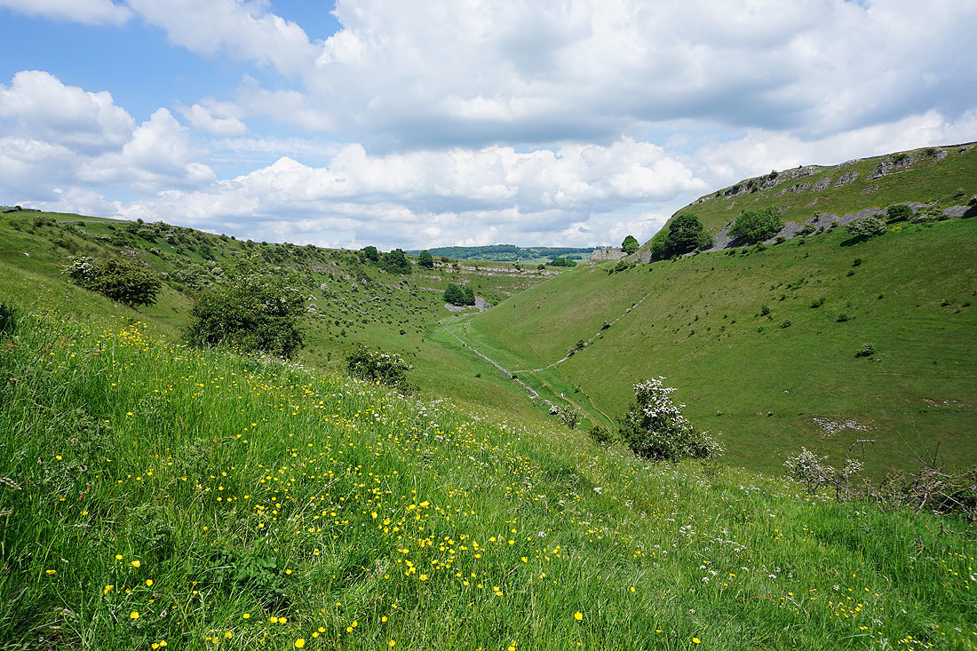
Looking back up the dale
Time to leave the path on the valley floor for the one that heads up its side
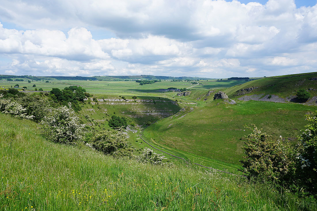
Looking down Cressbrook Dale from the path up the side
There's a fantastic view back up the valley as the path reaches its top
The view to the west and northwest to Litton and Hucklow Edge as I head up to the top of Wardlow Hay Cop..
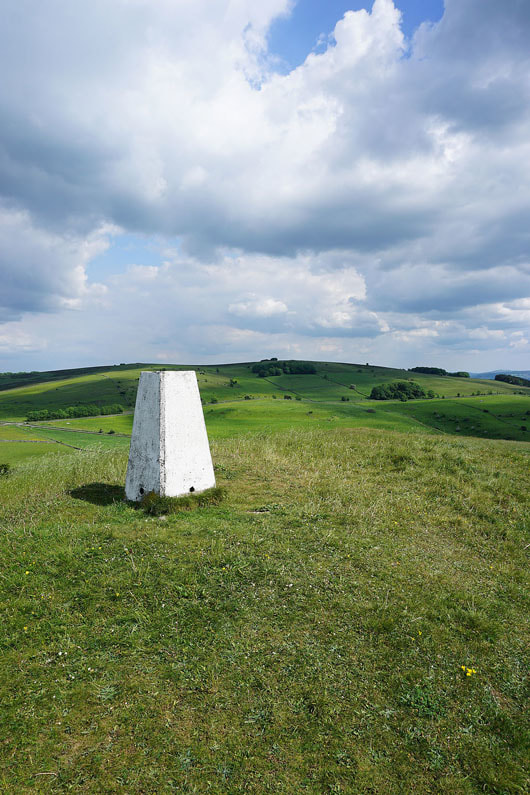
At the trig point on Wardlow Hay Cop
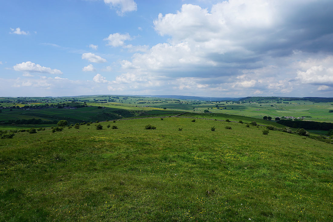
The view from Wardlow Hay Cop. KInder Scout way in the distance with Hucklow Edge on the right.
Eyam Edge in the distance to the northeast with Wardlow below
Longstone Moor
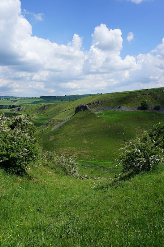
Looking down Hay Dale
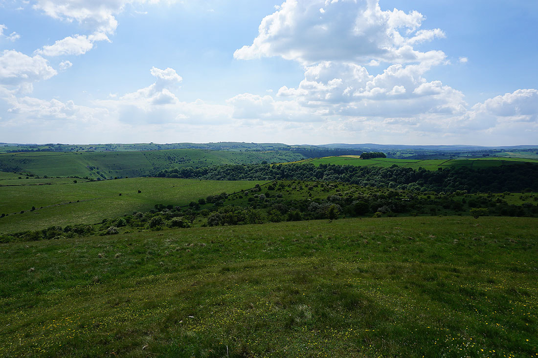
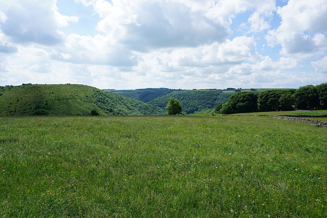
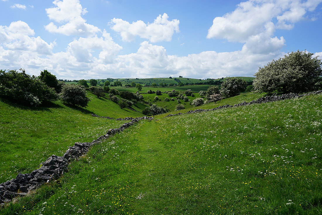
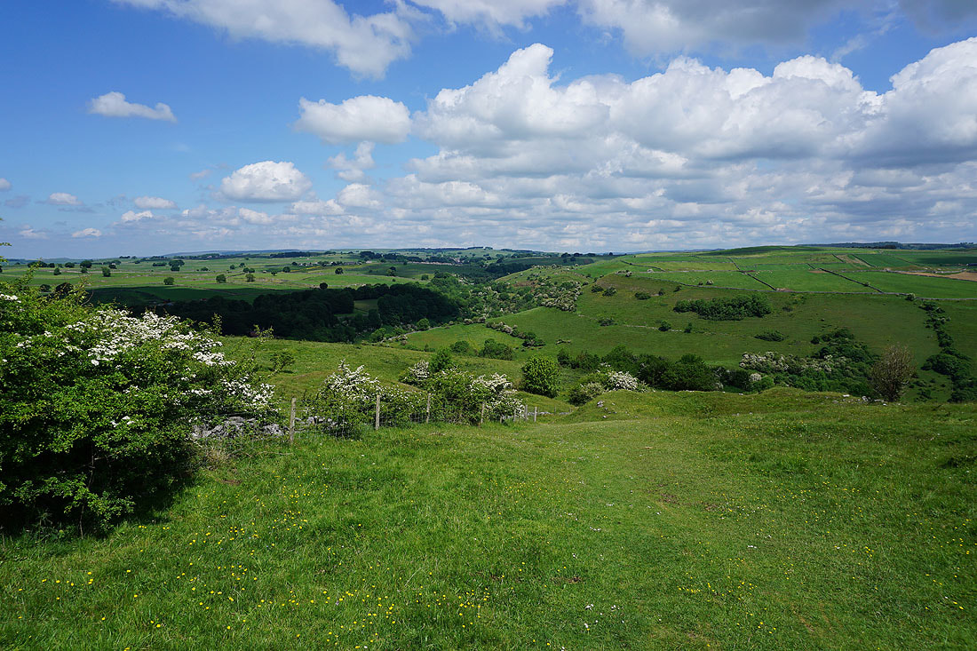
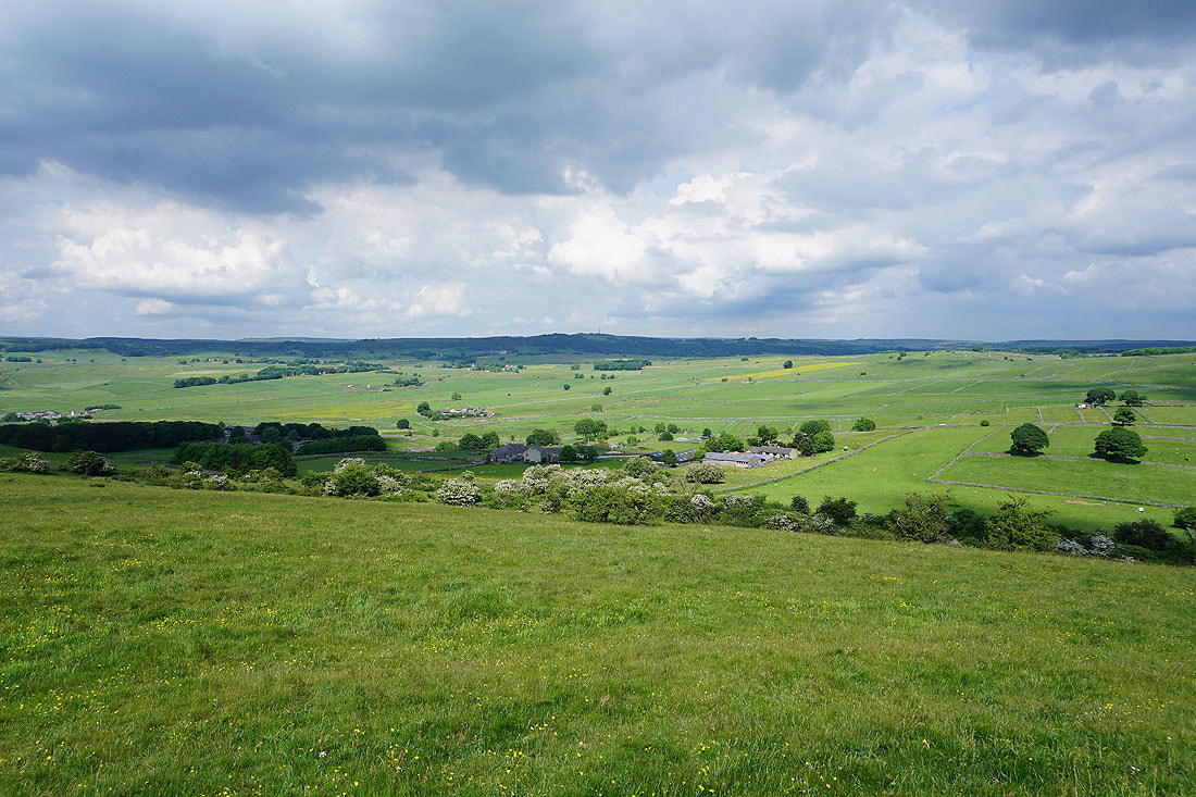
The view to the southwest across the tops of Cressbrook Dale and Miller's Dale
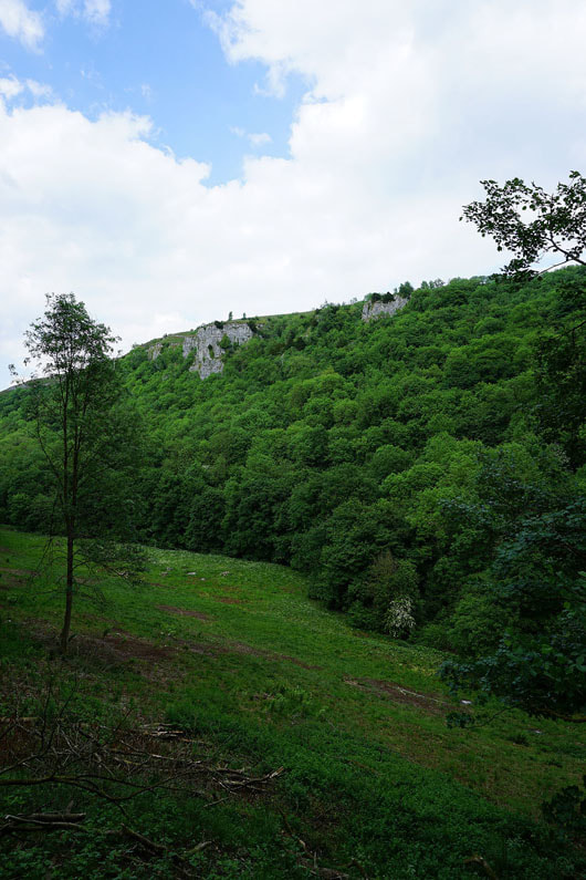
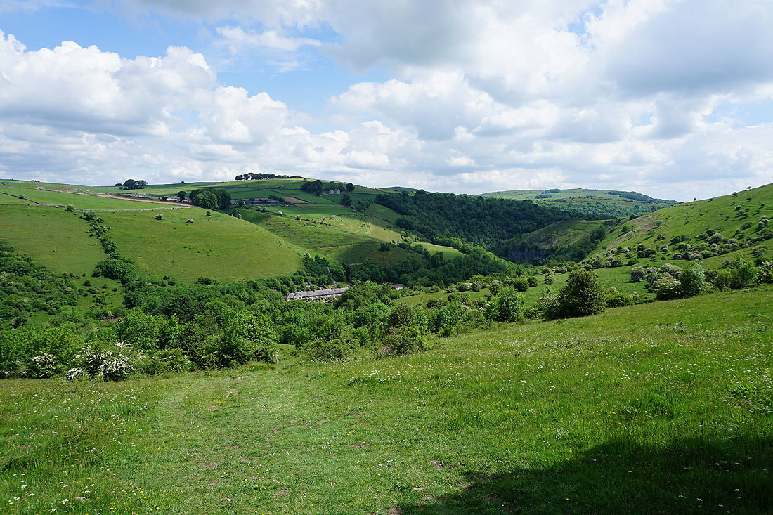
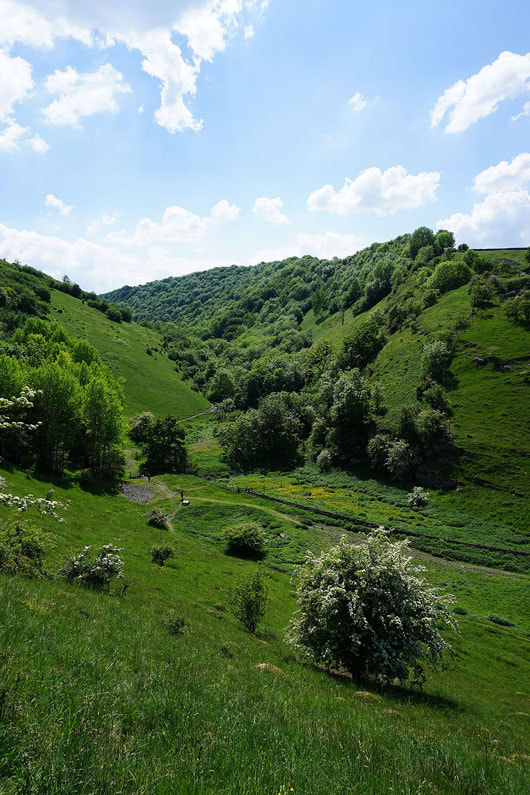
The cliffs above Ravensdale Cottages from the road down to Cressbrook
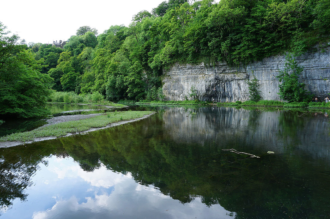
The River Wye at Water-cum-Jolly Dale
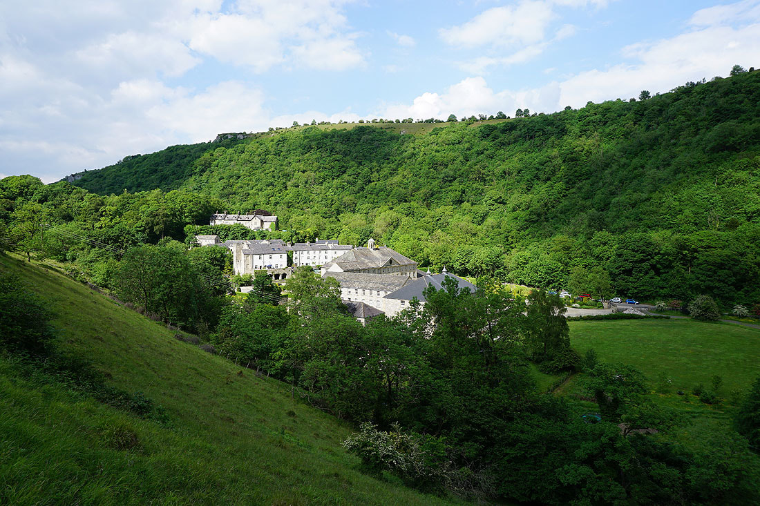
Cressbrook
On the Monsal Trail back to Monsal Head