3rd June 2023 - The Howgills
Walk Details
Distance walked: 12.5 miles
Total ascent: 3256 ft
OS map used: OL19 - Howgill Fells & Upper Eden Valley
Time taken: 7 hrs
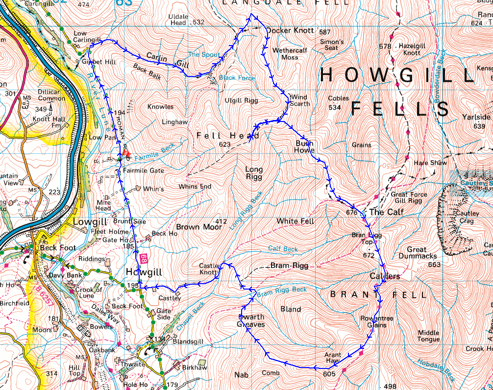
Route description: Fairmile Gate-Fairmile Road-Carlingill Bridge-Carlin Gill-Blakethwaite Bottom-Docker Knott-Over Sale-Breaks Head-Fell Head-Breaks Head-Windscarth Wyke-Bush Howe-The Calf-Calders-Rowantree Grains-Arant Haw-Swarth Greaves-Bram Rigg-Castley-Four Lane Ends-Howgill Lane-Fairmile Gate
For my walk today I'd decided to head to the Howgills, which I try to do at least once a year, and take in Carlin Gill. Carlin Gill is a steep sided valley on the western side of the Howgills, one of the best bits of scenery this group of fells has to offer, and the last time I visited it was in 2011. About time I went back then, and given the lack of rain during the past couple of months now is just about perfect. Walking up the gill requires crossing from one side of the beck to the other several times, and generally being close to it, so the beck being in spate after wet weather would make things a bit on the difficult side. No such problems today. Not only was the level of the beck low, the weather for being on the fells was ideal. With more or less wall-to-wall blue skies and sunshine, a gentle breeze and good visibility for taking in the views, this was the perfect summer's day for hill-walking.
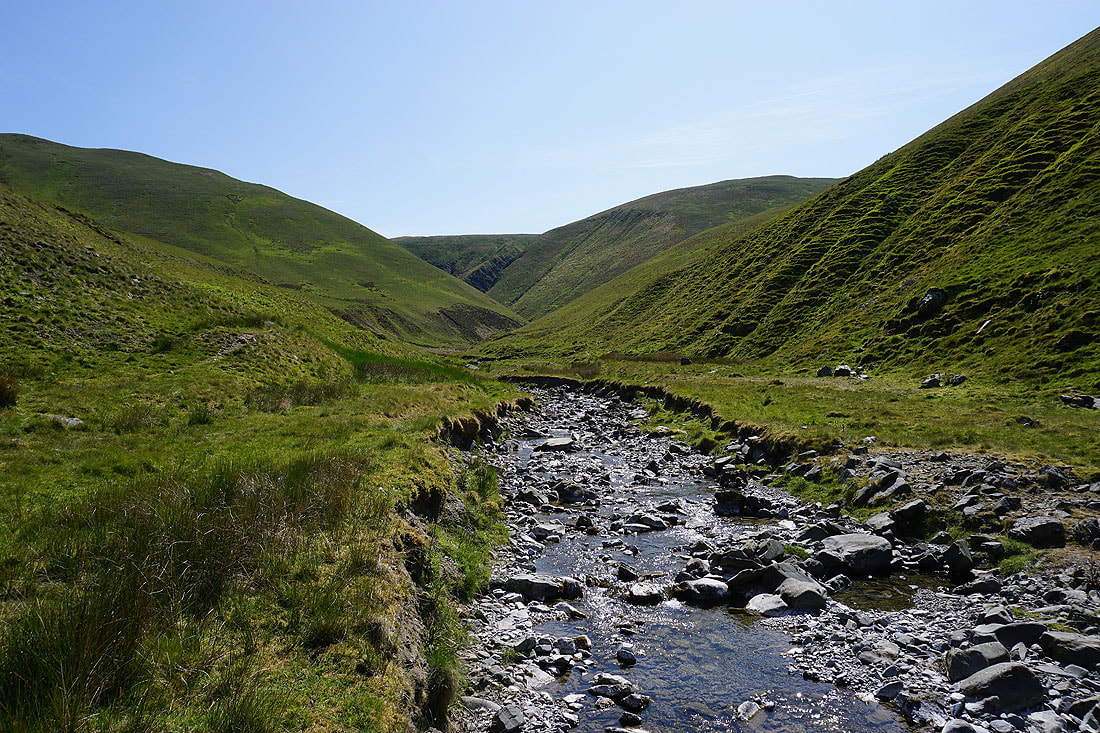
From where I parked on the grass verge by Fairmile Gate I walked north along Fairmile Road until I reached Carlingill Bridge. I left the road behind here and made my way up Carlin Gill, switching from one side of the beck to the other as required until I reached the waterfall of The Spout. To get past The Spout I crossed the beck one last time and climbed the steep slope by the waterfall to reach the gill above, which I walked up to reach Blakethwaite Bottom. A climb up a grassy slope from Blakethwaite Bottom brought me to the top of the hill of Docker Knott, and from there I walked south along the moorland ridge across Over Sale, and then up to Breaks Head, and on to Fell Head, where I stopped for lunch. After this break I retraced my steps to Breaks Head, then descended to Windscarth Wyke, ascended Bush Howe and then followed the moorland ridge to the trig point on The Calf. Once I'd taken in the view I took the bridleway south to Calders, then down to and across Rowantree Grains before leaving it to head for the top of Arant Haw. I then made my way down Arant Haw's western ridge, and then down to the bridleway across the hillside of Swarth Greaves, which I took across the ford on Bram Rigg Beck, to cross Bram Rigg and Chapel Beck to reach the bridleway to Castley. I then followed the bridleway west past Castley and Cookson's Tenement to reach Four Lane Ends and Howgill Lane. A walk north along Howgill Lane brought me back to where I was parked at Fairmile Gate.
Total ascent: 3256 ft
OS map used: OL19 - Howgill Fells & Upper Eden Valley
Time taken: 7 hrs
Route description: Fairmile Gate-Fairmile Road-Carlingill Bridge-Carlin Gill-Blakethwaite Bottom-Docker Knott-Over Sale-Breaks Head-Fell Head-Breaks Head-Windscarth Wyke-Bush Howe-The Calf-Calders-Rowantree Grains-Arant Haw-Swarth Greaves-Bram Rigg-Castley-Four Lane Ends-Howgill Lane-Fairmile Gate
For my walk today I'd decided to head to the Howgills, which I try to do at least once a year, and take in Carlin Gill. Carlin Gill is a steep sided valley on the western side of the Howgills, one of the best bits of scenery this group of fells has to offer, and the last time I visited it was in 2011. About time I went back then, and given the lack of rain during the past couple of months now is just about perfect. Walking up the gill requires crossing from one side of the beck to the other several times, and generally being close to it, so the beck being in spate after wet weather would make things a bit on the difficult side. No such problems today. Not only was the level of the beck low, the weather for being on the fells was ideal. With more or less wall-to-wall blue skies and sunshine, a gentle breeze and good visibility for taking in the views, this was the perfect summer's day for hill-walking.
From where I parked on the grass verge by Fairmile Gate I walked north along Fairmile Road until I reached Carlingill Bridge. I left the road behind here and made my way up Carlin Gill, switching from one side of the beck to the other as required until I reached the waterfall of The Spout. To get past The Spout I crossed the beck one last time and climbed the steep slope by the waterfall to reach the gill above, which I walked up to reach Blakethwaite Bottom. A climb up a grassy slope from Blakethwaite Bottom brought me to the top of the hill of Docker Knott, and from there I walked south along the moorland ridge across Over Sale, and then up to Breaks Head, and on to Fell Head, where I stopped for lunch. After this break I retraced my steps to Breaks Head, then descended to Windscarth Wyke, ascended Bush Howe and then followed the moorland ridge to the trig point on The Calf. Once I'd taken in the view I took the bridleway south to Calders, then down to and across Rowantree Grains before leaving it to head for the top of Arant Haw. I then made my way down Arant Haw's western ridge, and then down to the bridleway across the hillside of Swarth Greaves, which I took across the ford on Bram Rigg Beck, to cross Bram Rigg and Chapel Beck to reach the bridleway to Castley. I then followed the bridleway west past Castley and Cookson's Tenement to reach Four Lane Ends and Howgill Lane. A walk north along Howgill Lane brought me back to where I was parked at Fairmile Gate.
Route map
© Crown copyright. All rights reserved. License number PU 100034184.
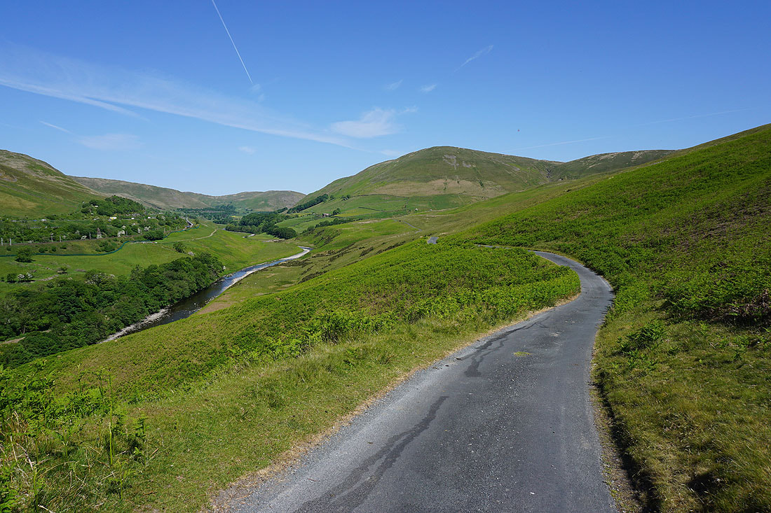
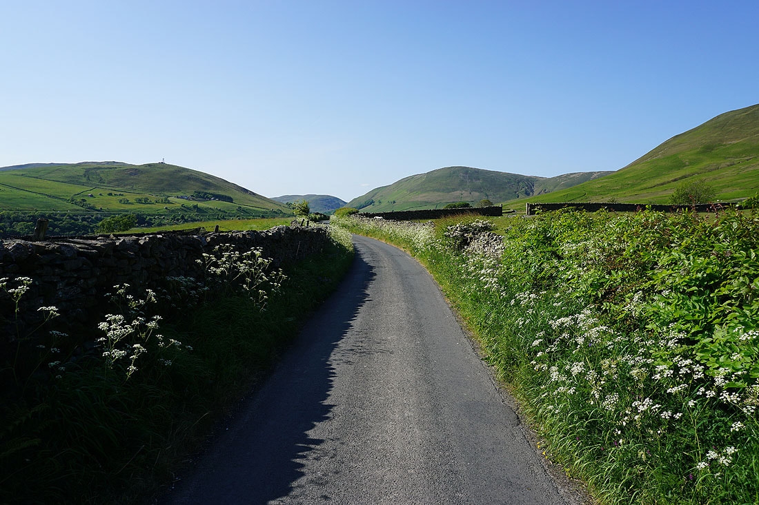
Walking along Fairmile Road towards Carlingill Bridge, with the River Lune below on the left
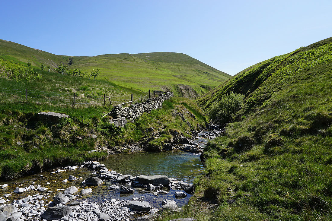
At Carlingill Bridge I head into Carlin Gill, immediately crossing over to the north bank of Carlingill Beck
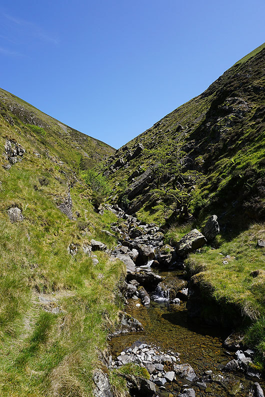
At the moment the bed of the gill is quite wide, but this won't last much longer
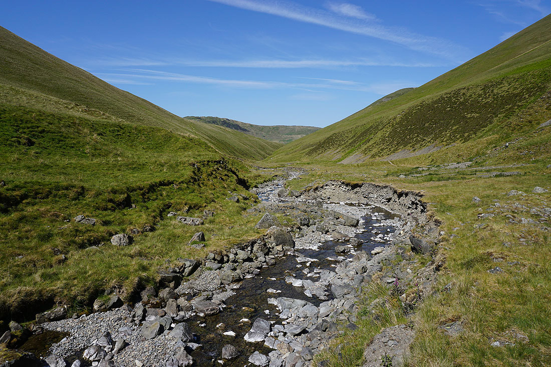
Looking back west down Carlin Gill
The walls of the gill begin to close in

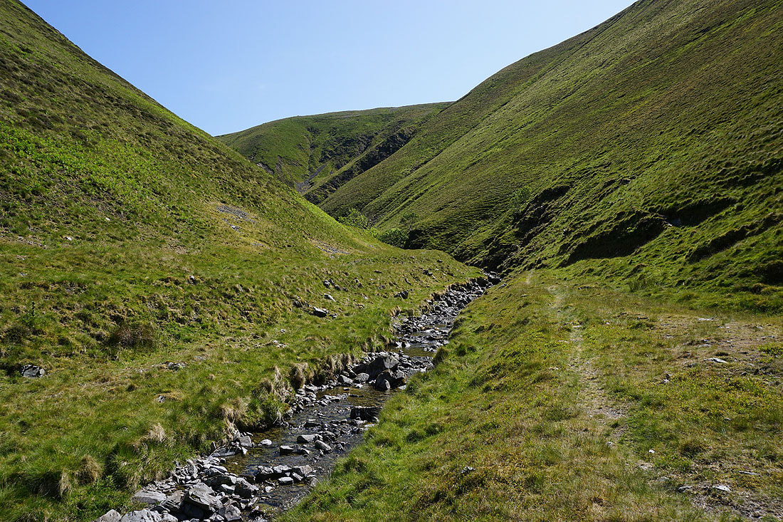
Heading upstream and the path, such as it is, takes to the slopes above the beck
|
Looking back and the line of the path can be seen crossing the steep slopes
|
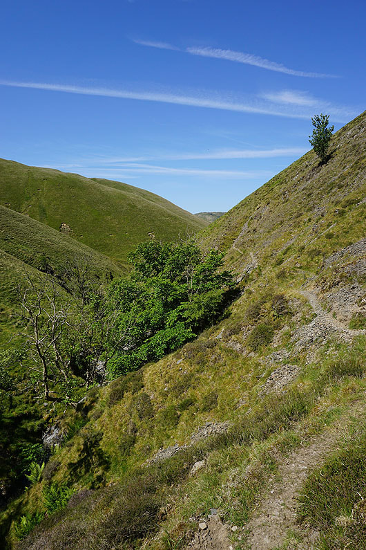
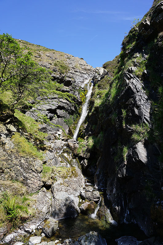
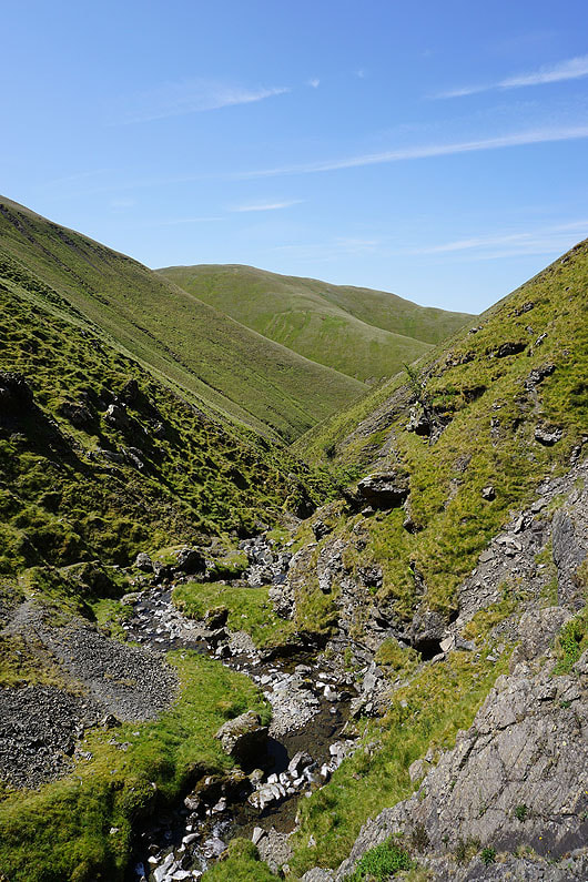
Below Black Force
|
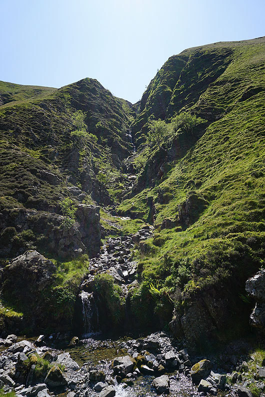
Past Black Force and I make my way up the gill, crossing back and forth over the beck. You definitely don't want it to be in spate for this section...
|

|
|
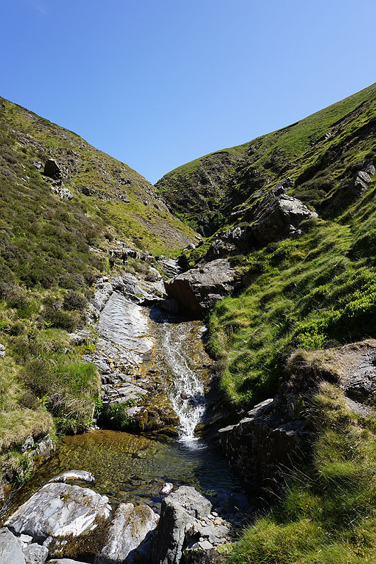
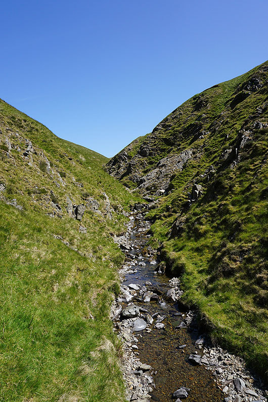
Looking back down Carlin Gill from below The Spout
|
The waterfall of The Spout
|
Carlin Gill from above The Spout
|
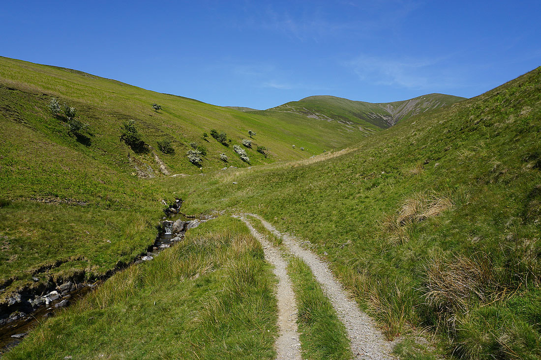
Above The Spout and there's one last section of gill to tackle
|

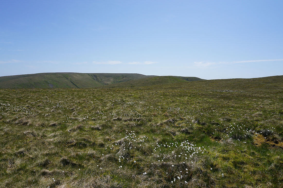
Into the open spaces of Blakethwaite Bottom
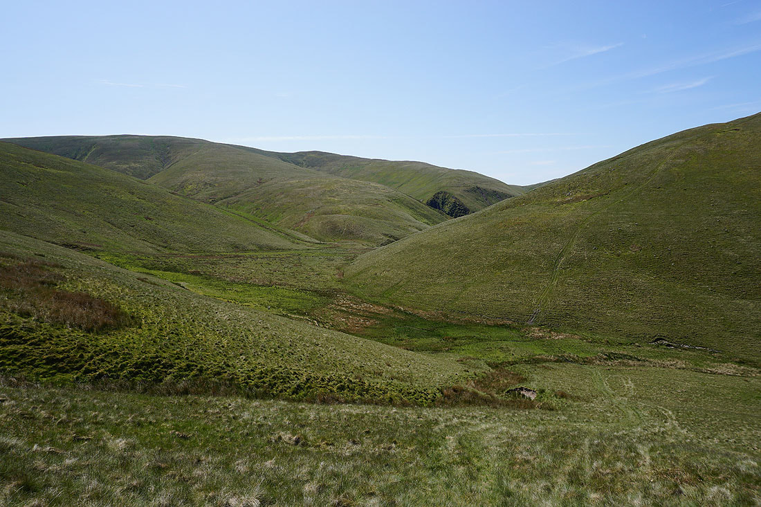
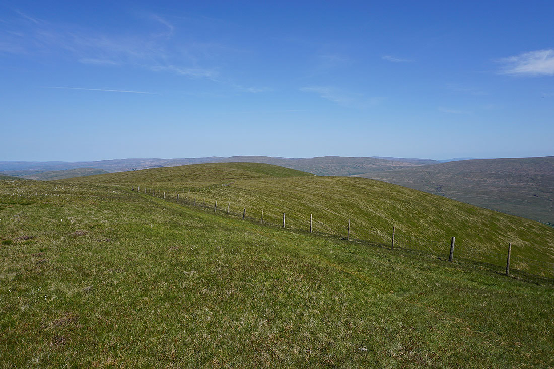
Blakethwaite Bottom below as I make my way up onto Docker Knott. Carlin Gill is around the corner of the hillside on the right.
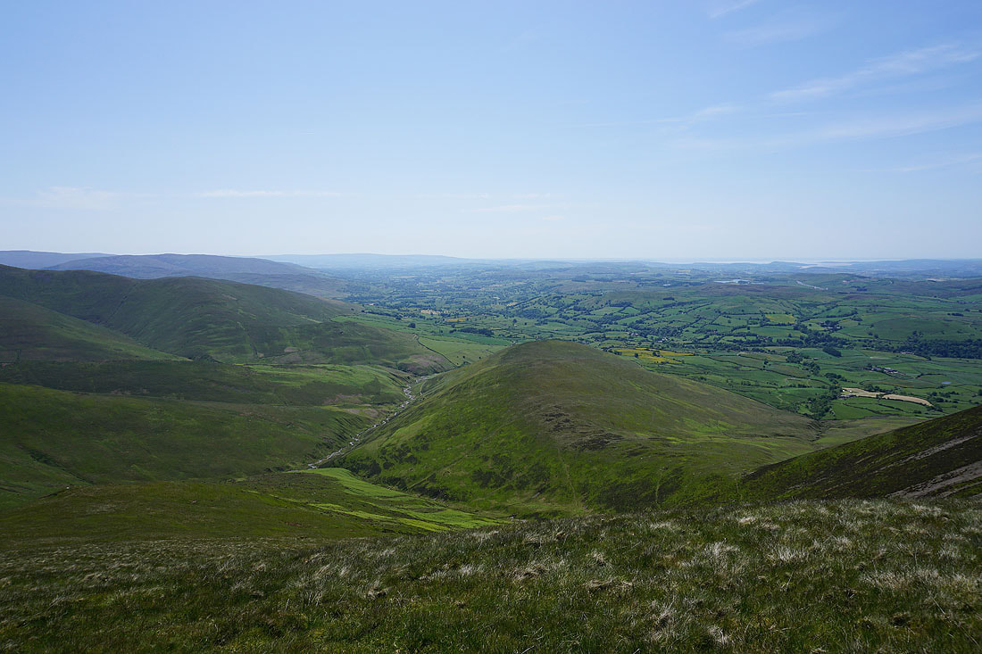
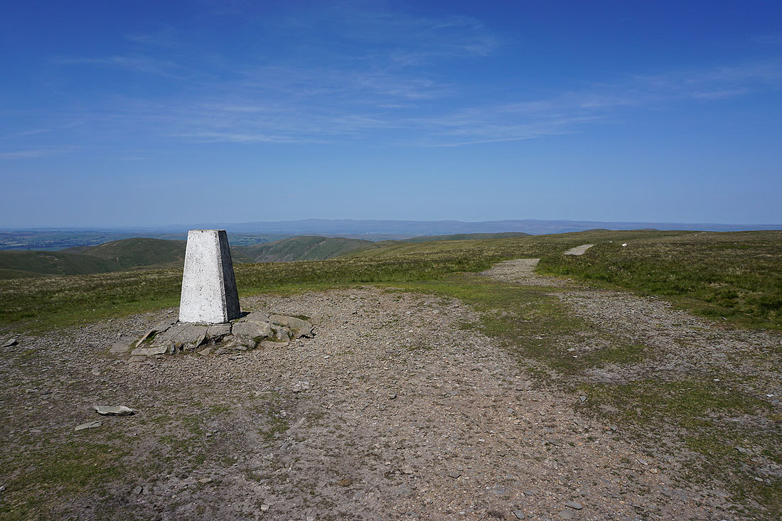
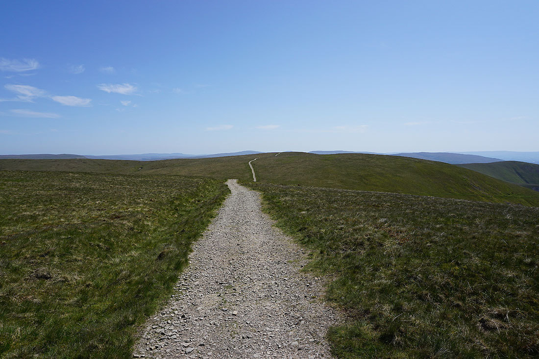
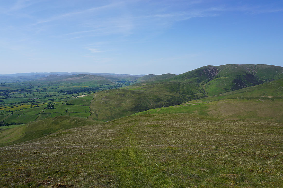
On the top of Docker Knott. Looking south to Fell Head.
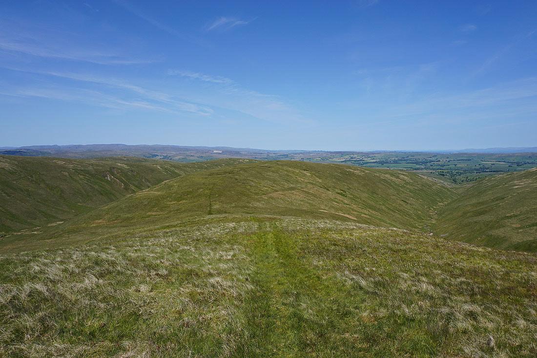
and north down the ridge to Hand Lake, with Uldale on the left and Churn Gill on the right
A bit to the right there's Churn Gill, the ridge of Middleton, Langdale Knott, and the North Pennines in the distance
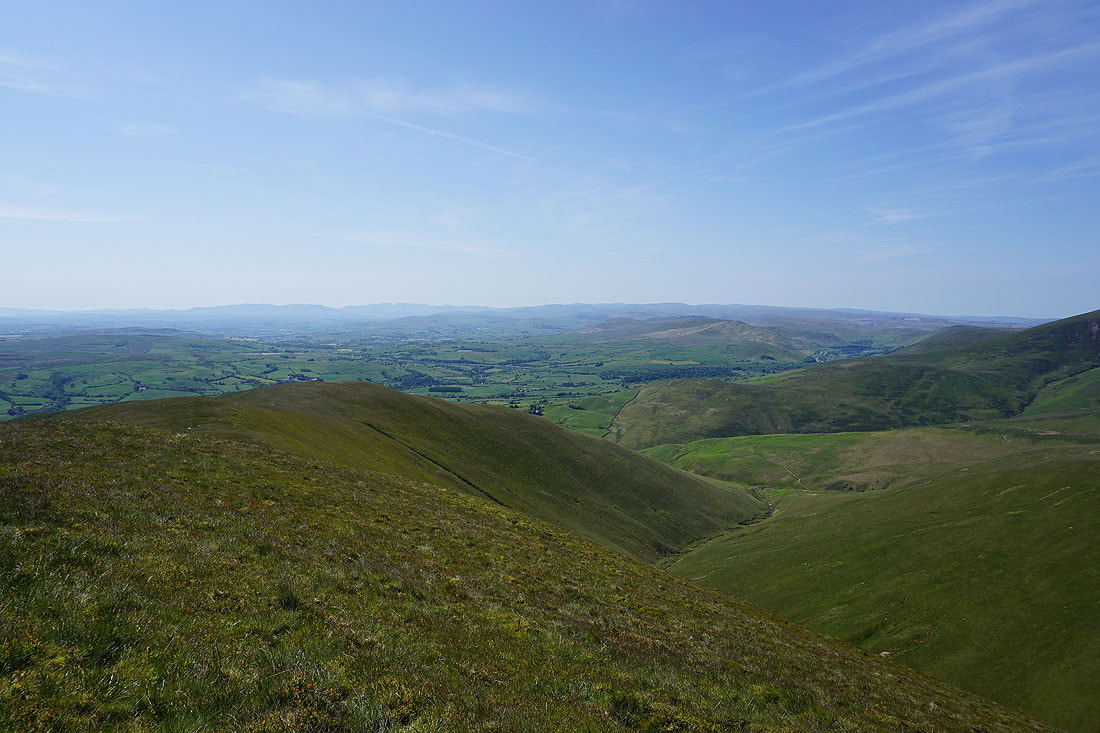
A distant line of Lake District fells appears to my right as I head from Docker Knott to Breaks Head
Looking back down the ridge to Docker Knott from Breaks Head
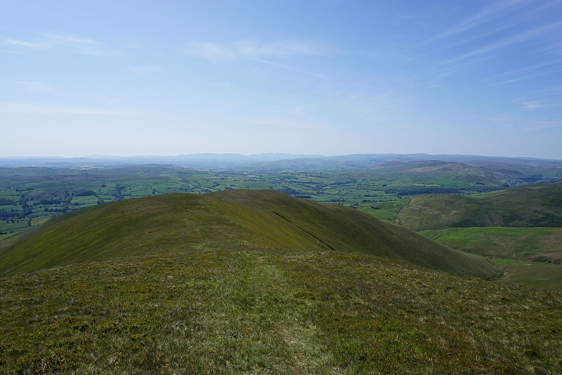
The Calf from Breaks Head
Approaching the top of Fell Head. A good time and place to stop for lunch.
Taking in the fantastic view from Fell Head. Starting with, a long line of Lake District fells to the west
The North Pennines in the distance
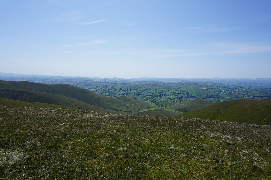
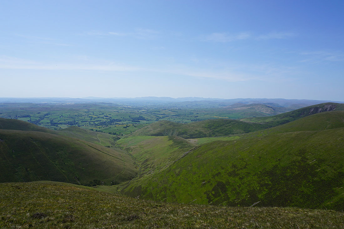
To the south, the valley of the River Lune heads for Morecambe Bay
Looking past The Calf, Calders and Arant Haw into the heart of the Yorkshire Dales, to Penyghent, Whernside, Ingleborough, Great Coum, and Middleton Fell
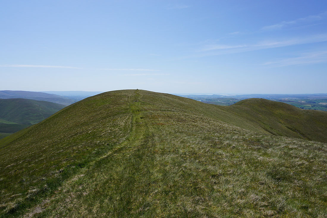
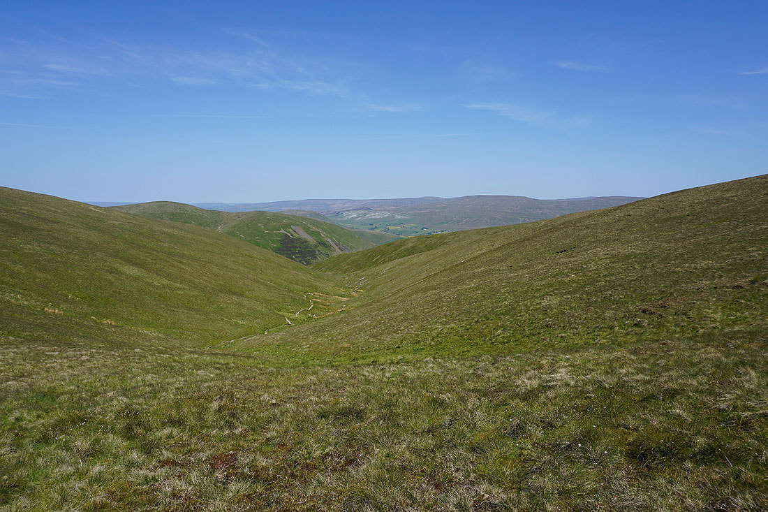
On my way from Fell Head to Bush Howe, and there's the col of Windscarth Wyke to negiotiate, which doesn't look like much at all from here
On Bush Howe and heading for The Calf
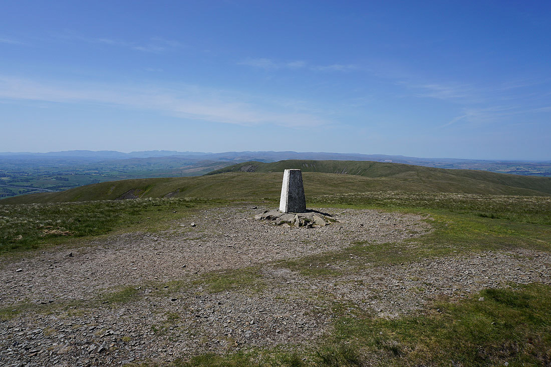
At the trig point on The Calf. I think it's one of the best viewpoints for many miles around.
The full range of Lake District fells in the distance to the west, beyond the nearby White Fell Head and Fell Head
The North Pennines in the distance on the other side of the Eden Valley
Looking southwest to Morecambe Bay
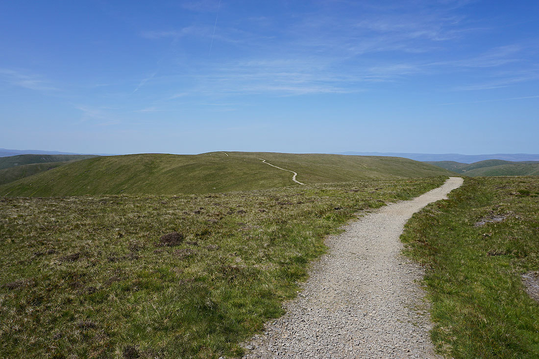
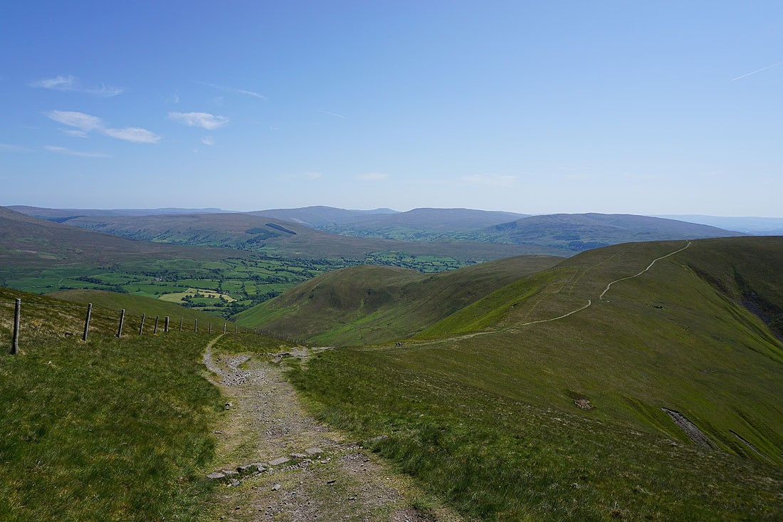
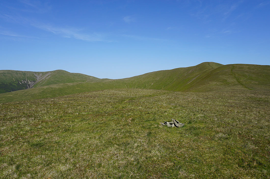
Leaving The Calf on the bridleway to Calders
Passing the top of Force Gill Beck, with Yarlside on the left and Wild Boar Fell in the distance on the right
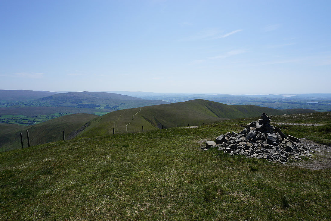
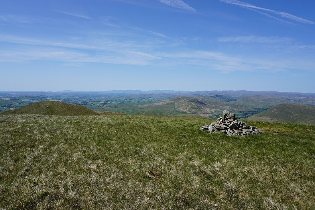
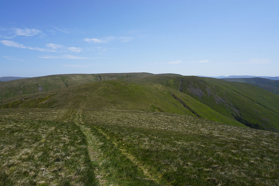
At the summit cairn on Calders. Looking southwest to Middleton Fell, and the neighbouring Arant Haw.
and back to The Calf
The grassy mound of Great Dummacks, with Wild Boar Fell and Swarth Fell in the distance

Looking across the valley of the River Rawthey to Baugh Fell, Plover Hill, Penyghent, Aye Gill Pike, Whernside, Ingleborough, and Great Coum
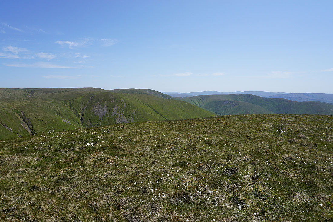
Lots of Howgills ridges descending into Lunesdale, with the Lake District fells in the distance
I get a great view across to a distant Penyghent and Ingleborough as I descend the bridleway from Calders to Arant Haw
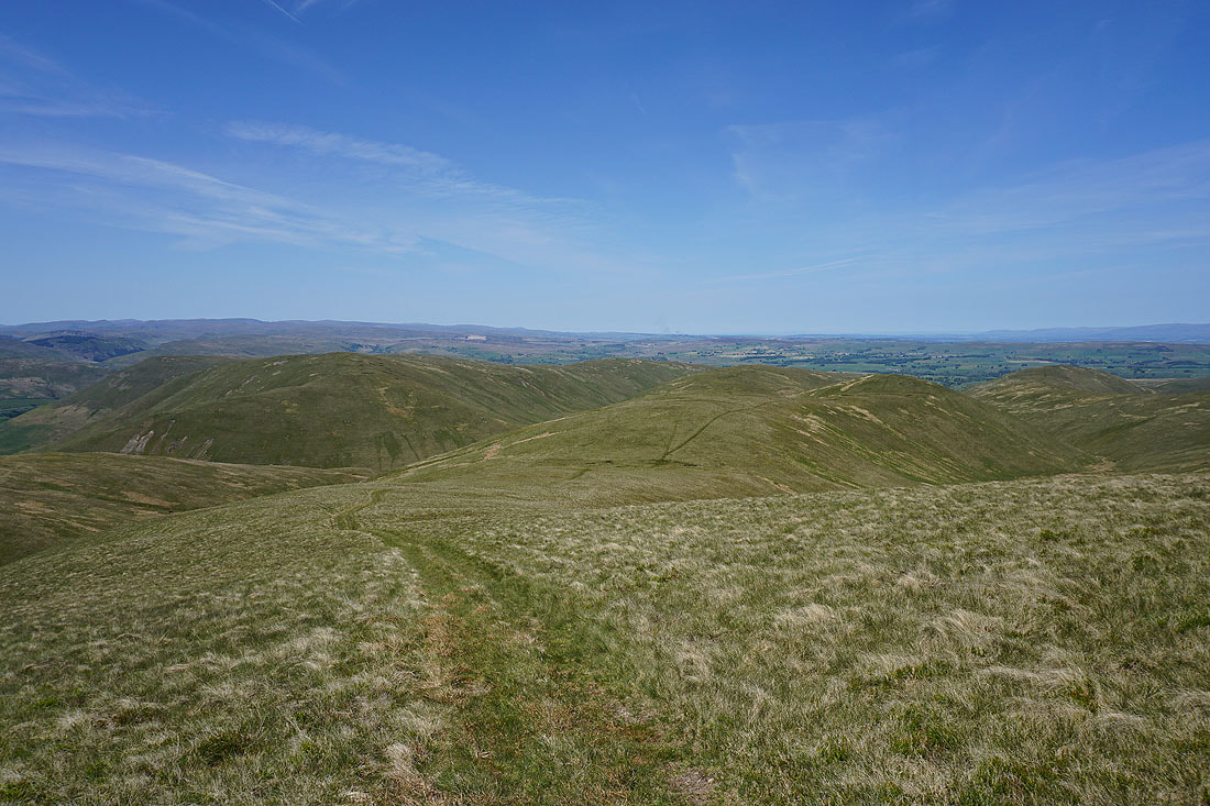
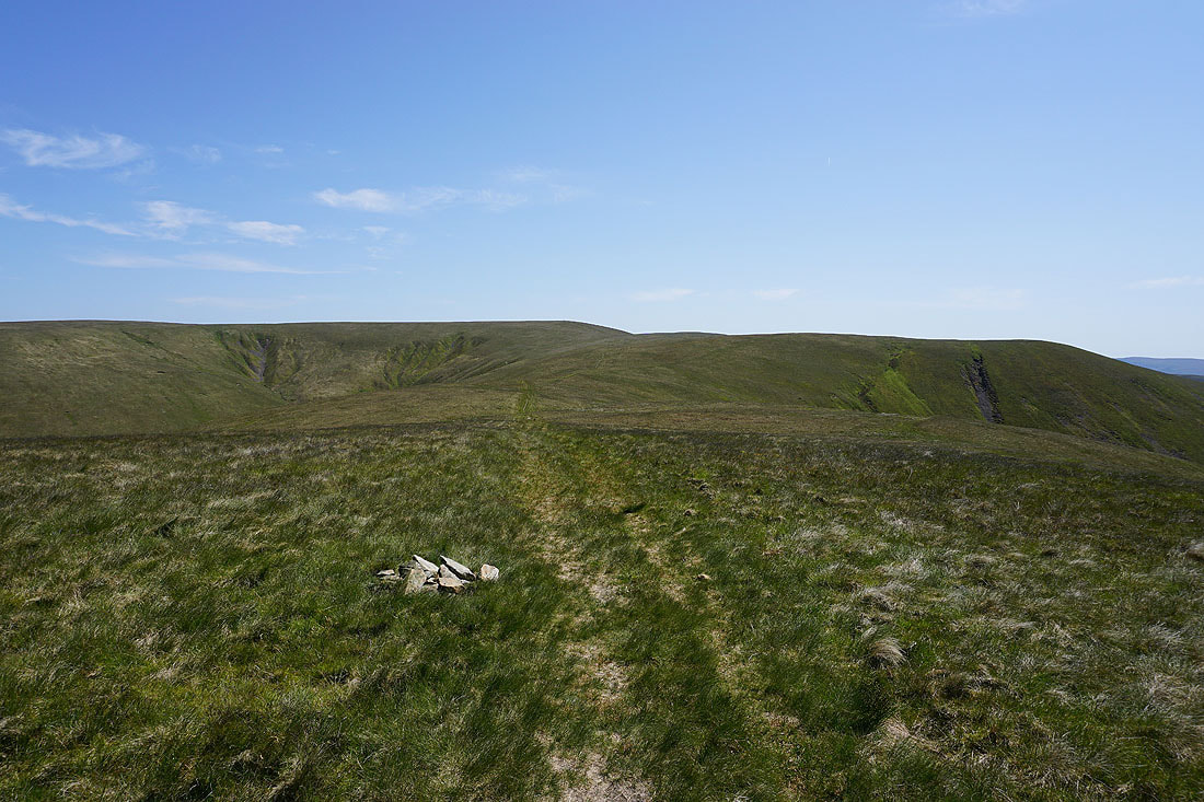
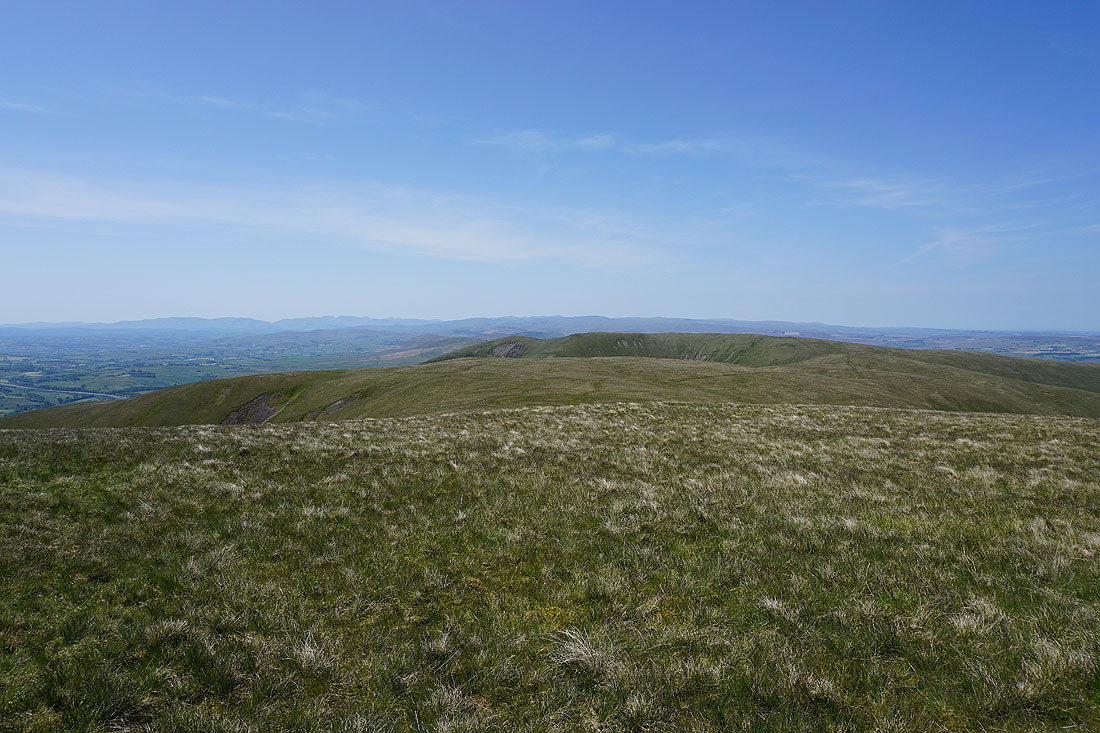
Looking back to Calders from Rowantree Grains
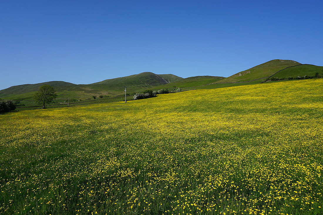
On the summit of Arant Haw. Looking north back to Calders, with Wild Boar Fell and Swarth Fell in the distance on the right.
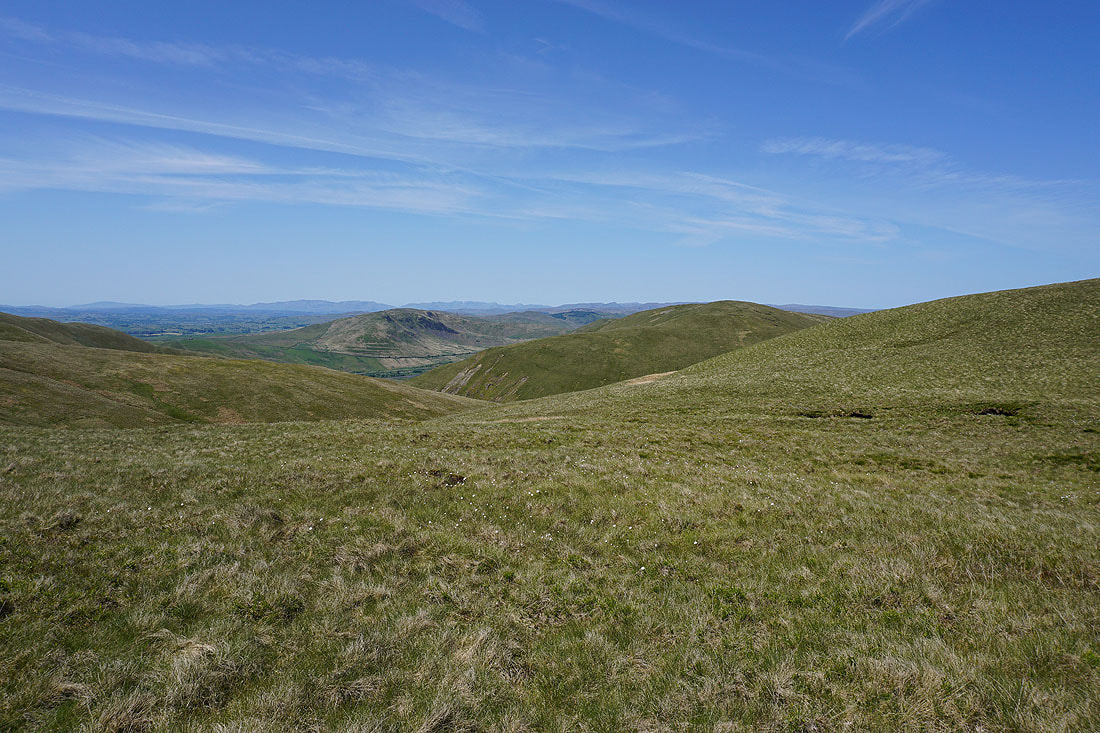
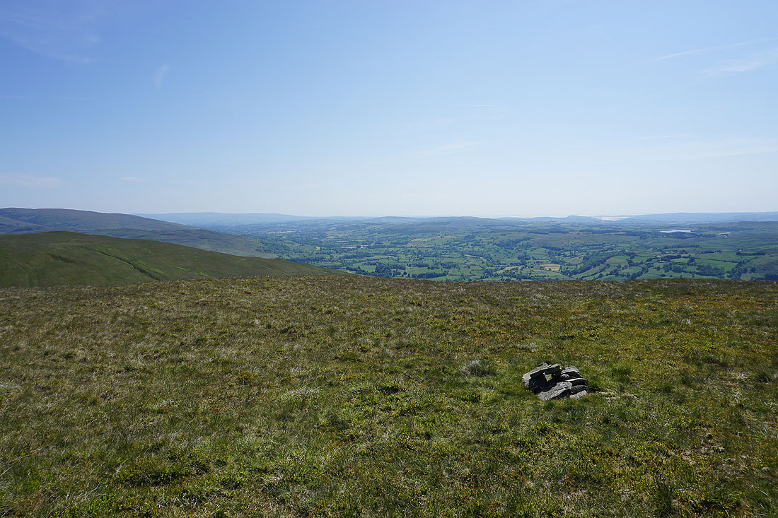
Taking in the view from Arant Haw. I start with Baugh Fell, Great Knoutberry Hill, Aye Gill Pike, Penyghent, Whernside, Ingleborough, and Great Coum to the southeast, with the valley of the River Rawthey below.
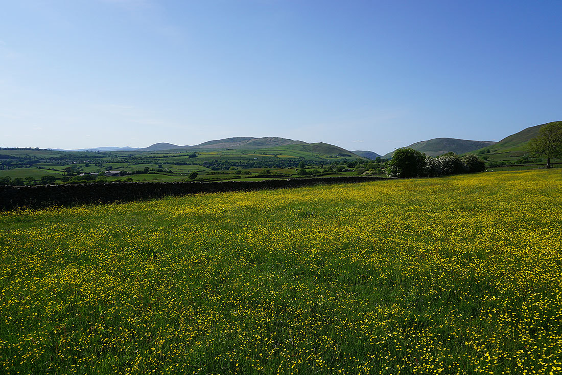
Then looking south to Aye Gill Pike, Penyghent, Whernside, Ingleborough, Great Coum, and Middleton Fell, with the hill of Crook below. I can make out plenty of buttercup filled fields down in the valley.
Middleton Fell and Winder
The Lake District fells to the west
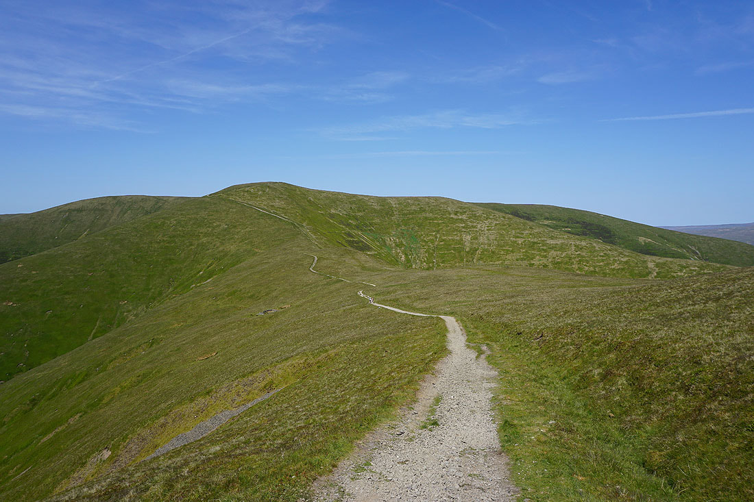
I leave Arant Haw by descending its western ridge
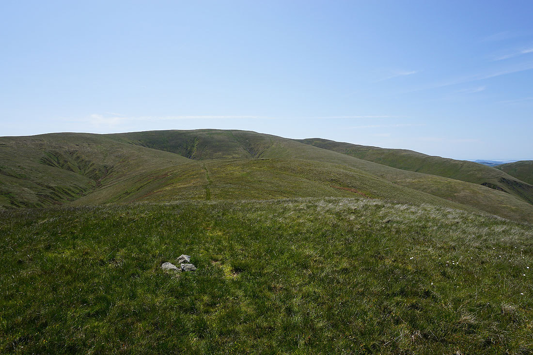
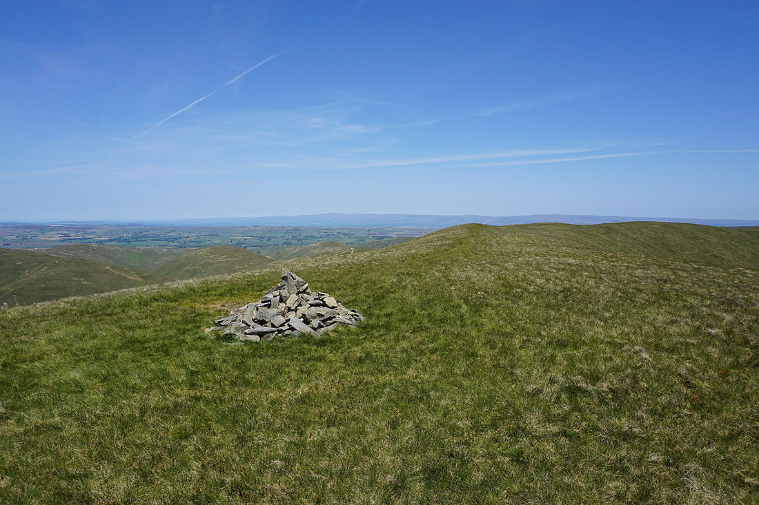
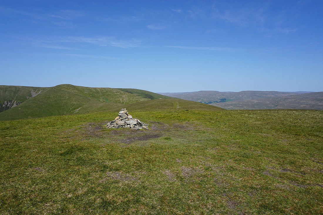
A small cairn marks the top at the end of the ridge. Behind me are Calders on the left, and the ridge running up to Arant Haw on the right.
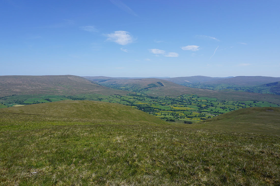
There's a fantastic view from here, with the valley of the River Lune heading south towards Morecambe Bay

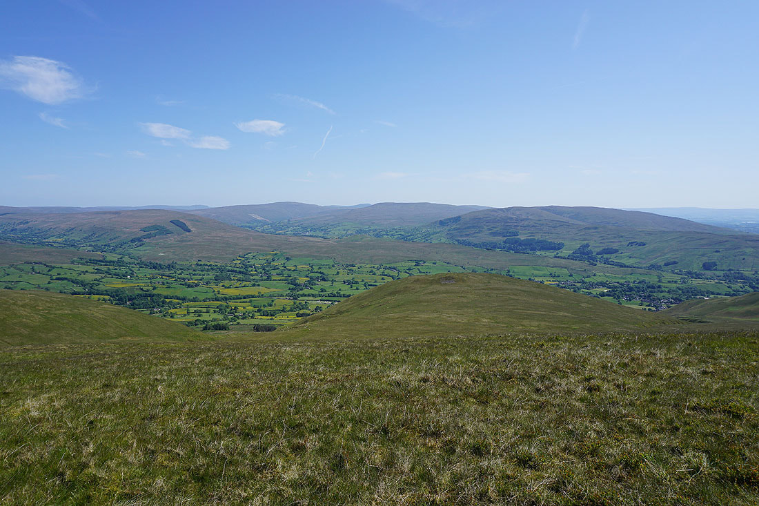
and then there are the Lake District fells in the distance to the west
Descending from the end of the ridge, and I'm aiming for the little hill of Seat Knott, below on the left

From the col below Seat Knott I descend onto the bridleway beneath it and follow it east towards Bram Rigg
Crossing the ford on Bram Rigg Beck

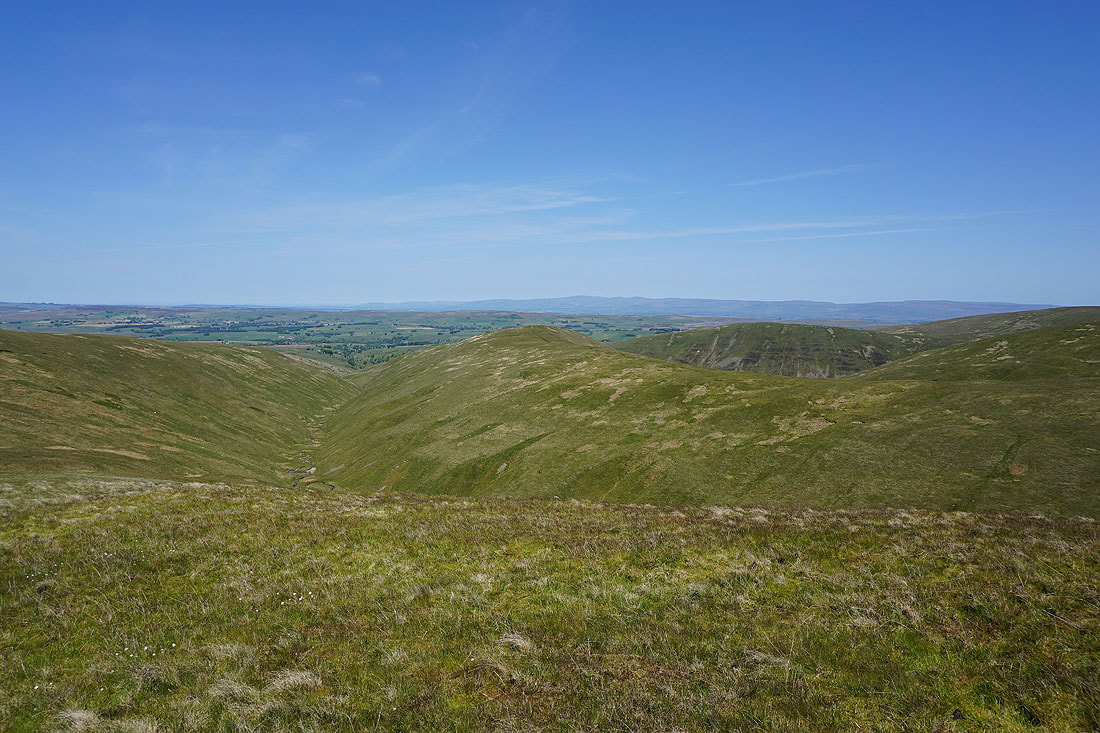
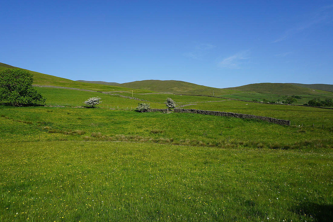
After crossing Chapel Beck to get onto the bridleway to Castley, I take a look back at a view into the heart of the Howgills and ridges that run up to Fell Head, Bush Howe, and White Fell Head
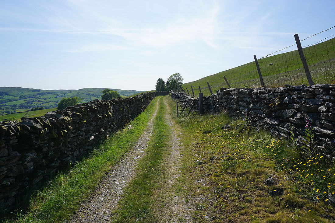
Following the bridleway to Castley
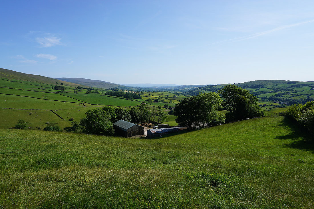
Looking down the valley of the River Lune with Castley below
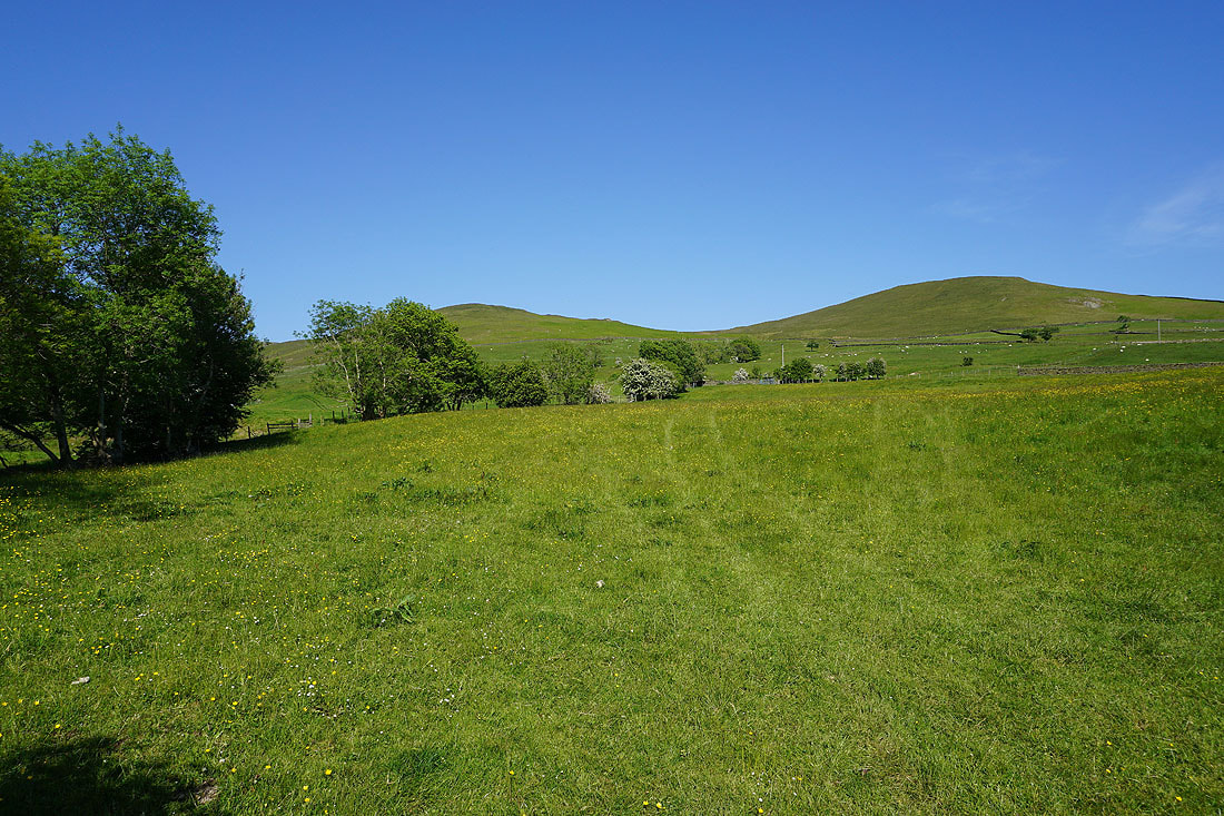
From Castley I follow the bridleway down to the cottages of Cookson's Tenement
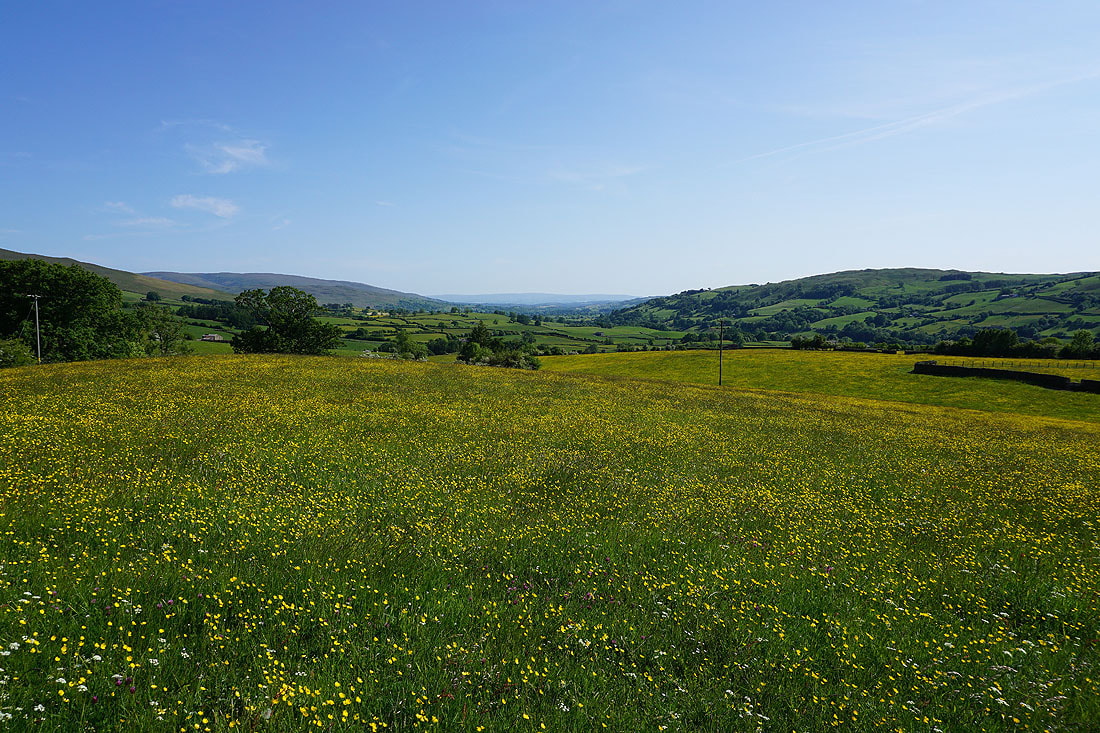
Great views across buttercup filled fields...

On the bridleway down to Four Lane Ends
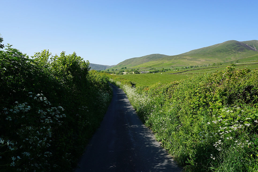
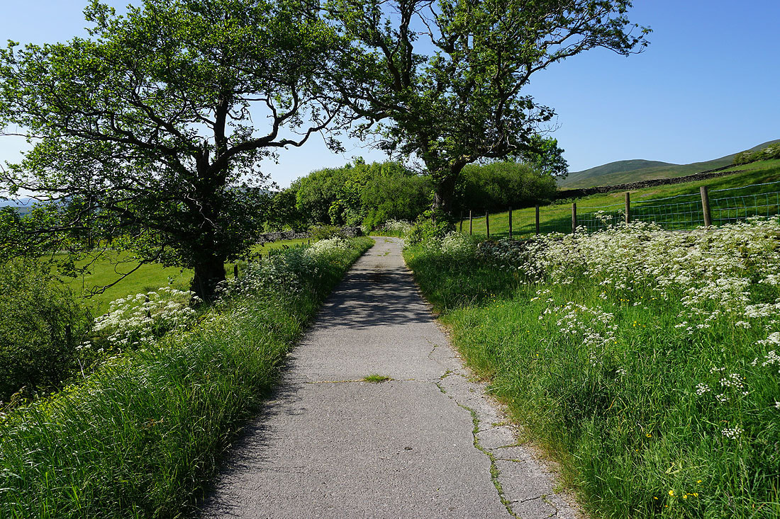
From Four Lane Ends I walk north along Howgill Lane
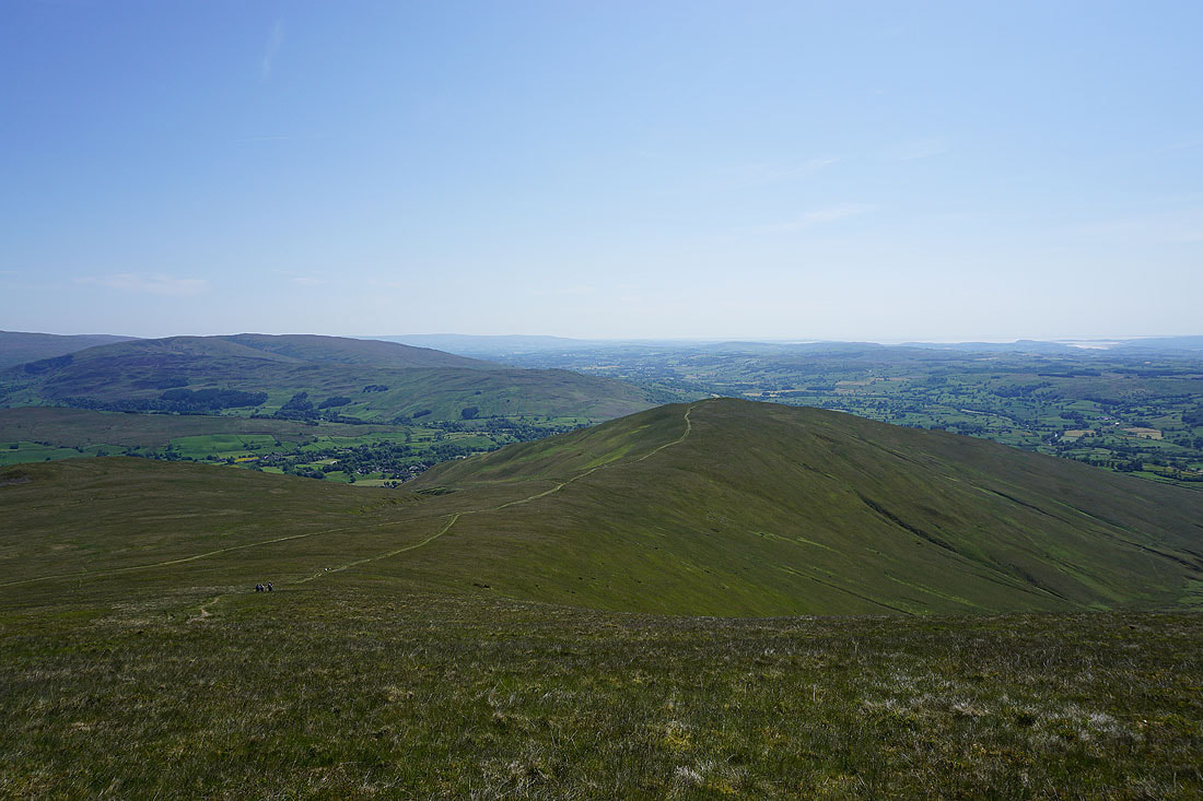
To my right, views of the western slopes of the Howgills..
Heading north along Howgill Lane, and it isn't far to go to get back to where I set off from this morning at Fairmile Gate