3rd March 2013 - Rishworth Moor & Blackstone Edge
Walk Details
Distance walked: 8.6 miles
Total ascent: 1173 ft
OS map used: OL21 - South Pennines
Time taken: 5 hrs
Route description: Car park by A58 below Blackstone Reservoir-Pennine Way-Old Packhorse Road-Rishworth Moor-Dog Hill-Green Withins Reservoir-Pennine Way-Blackstone Edge-Pennine Way-Car park by A58 below Blackstone Reservoir
A spur of the moment decision to do this walk but I had to take advantage of another fine day and this was a walk that I'd been thinking about doing for some time. Conditions underfoot were pretty good with dry weather for nearly two weeks and the ground partly frozen from recent frosty nights.
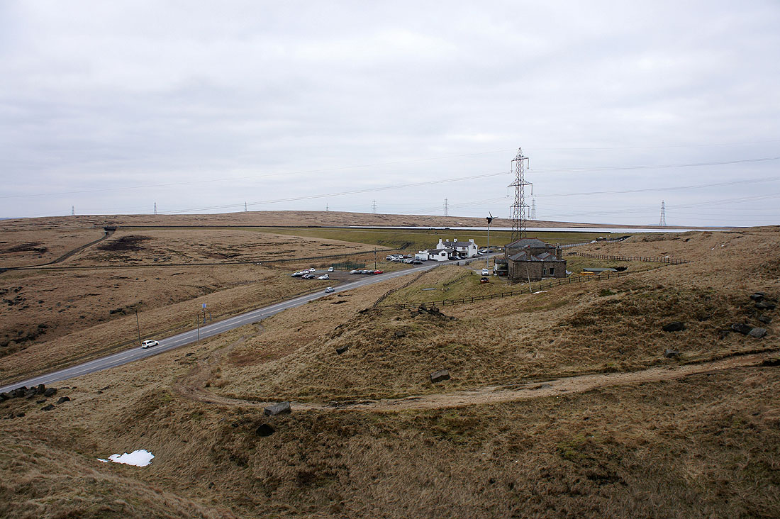
I started the walk from the car park below the White House pub on the A58 (not the pub car park). The A58 was crossed to reach the Pennine Way which I followed until it's crossed by the "Roman Road". This packhorse road and a couple of footpaths were then used to make my way around the northern side of Rishworth Moor. Eventually I headed off path to reach Cat Stones and then the high point of Rishworth Moor, Dog Hill. After paying a visit to the trig point I crossed over to the south side of the moor to pick up a path that would take me to Green Withins Reservoir. From the reservoir I then followed a catchwater drain to pick up the Pennine Way as it crosses over the M62. I then used the Pennine Way to take me up and over Blackstone Edge and back to the start.
Total ascent: 1173 ft
OS map used: OL21 - South Pennines
Time taken: 5 hrs
Route description: Car park by A58 below Blackstone Reservoir-Pennine Way-Old Packhorse Road-Rishworth Moor-Dog Hill-Green Withins Reservoir-Pennine Way-Blackstone Edge-Pennine Way-Car park by A58 below Blackstone Reservoir
A spur of the moment decision to do this walk but I had to take advantage of another fine day and this was a walk that I'd been thinking about doing for some time. Conditions underfoot were pretty good with dry weather for nearly two weeks and the ground partly frozen from recent frosty nights.
I started the walk from the car park below the White House pub on the A58 (not the pub car park). The A58 was crossed to reach the Pennine Way which I followed until it's crossed by the "Roman Road". This packhorse road and a couple of footpaths were then used to make my way around the northern side of Rishworth Moor. Eventually I headed off path to reach Cat Stones and then the high point of Rishworth Moor, Dog Hill. After paying a visit to the trig point I crossed over to the south side of the moor to pick up a path that would take me to Green Withins Reservoir. From the reservoir I then followed a catchwater drain to pick up the Pennine Way as it crosses over the M62. I then used the Pennine Way to take me up and over Blackstone Edge and back to the start.
Route map
© Crown copyright. All rights reserved. License number PU 100034184.
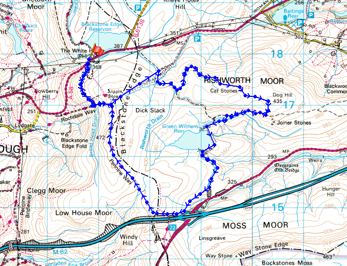
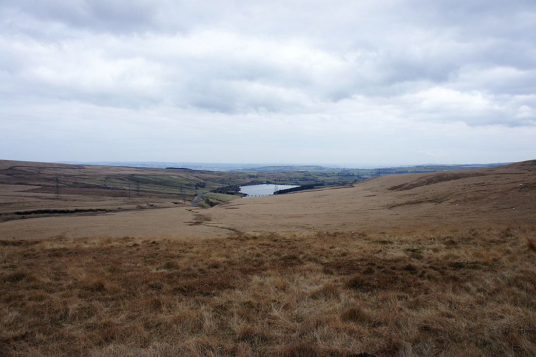
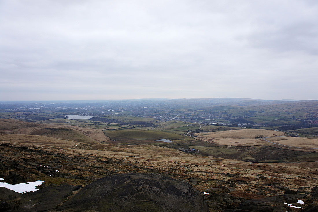
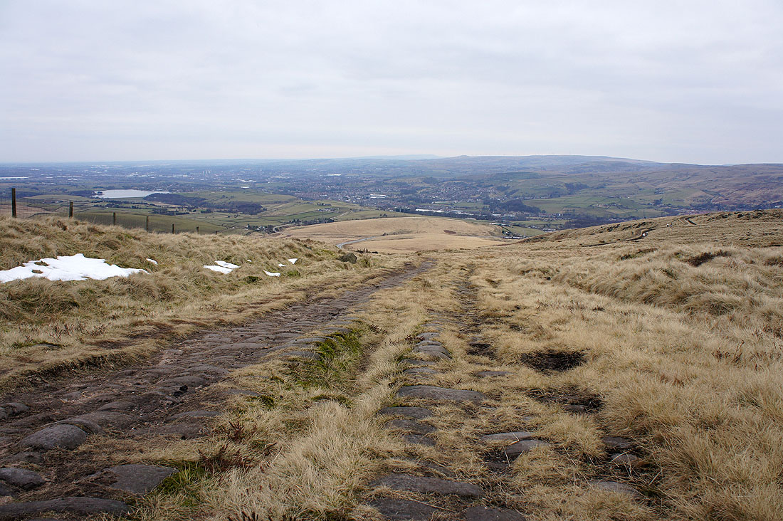
From the car park by Blackstone Edge Reservoir I crossed the A58 to get on the Pennine Way. I was soon treated to this view down into Lancashire, Hollingworth Lake and Littleborough.
Blackstone Edge. Not where I'm heading for at the moment though.
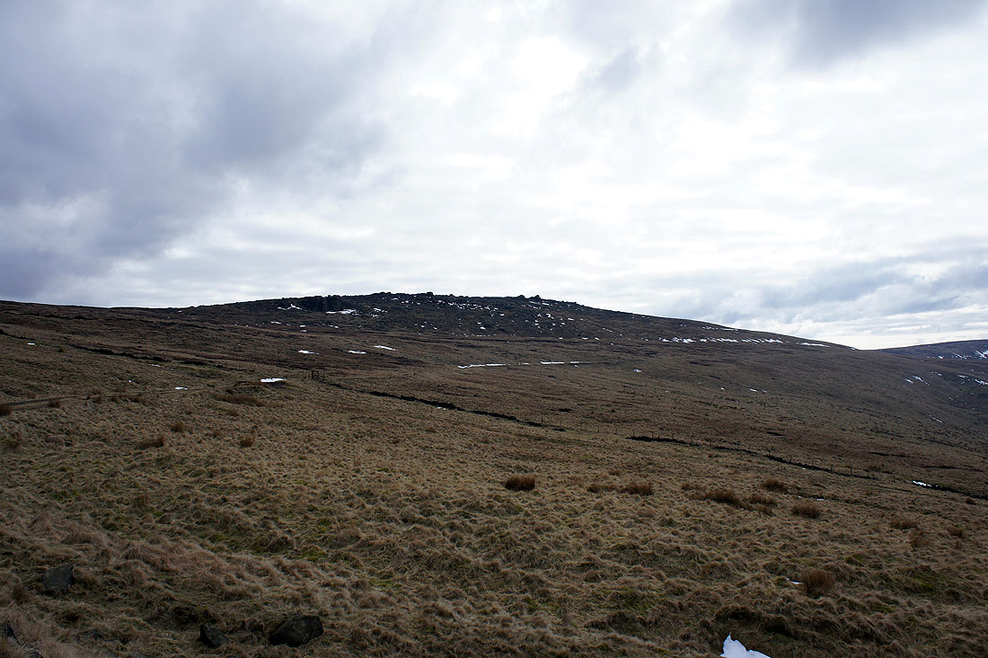
The Aiggin Stone. A medieval guide stone for travellers.
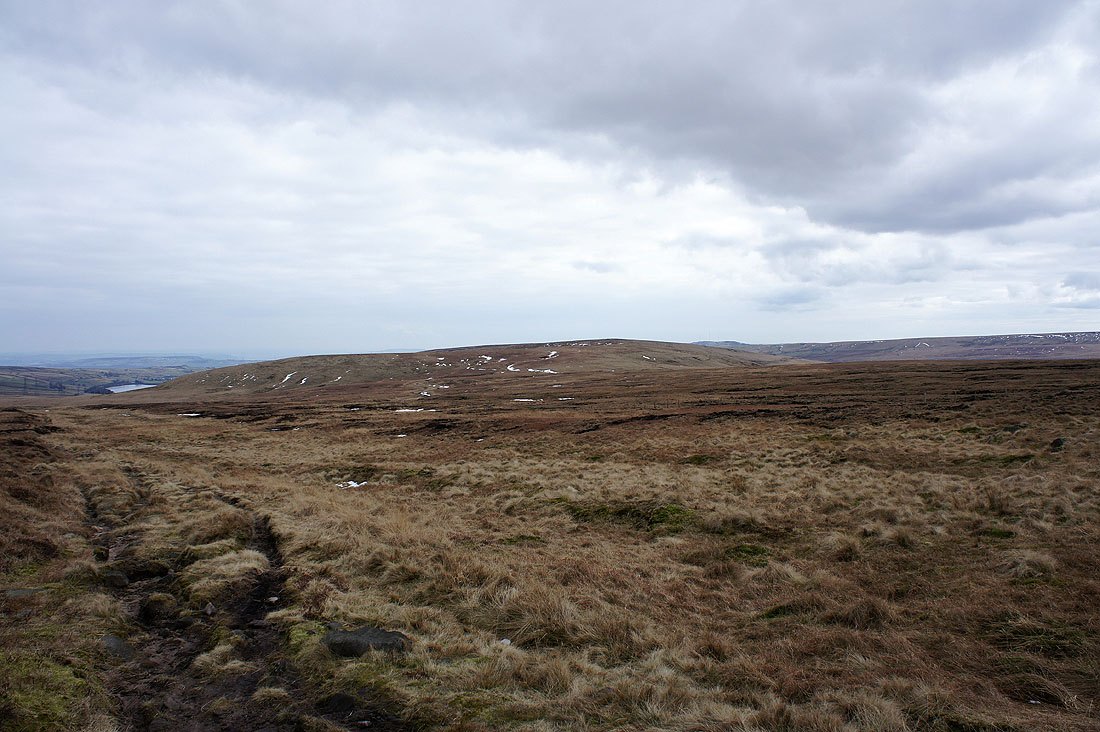
Rishworth Moor comes into view. I'm on the "Old Packhorse Road" that's on the OS map.
Looking down Rag Sapling Clough towards the hill of Manshead End
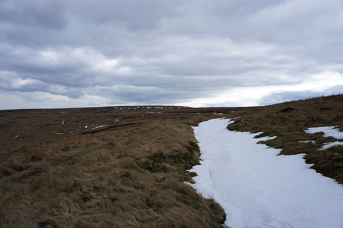
I'm on a path that heads around the northern side of Rishworth Moor and much to my surprise there are still some patches of deep snow around
Baitings Reservoir
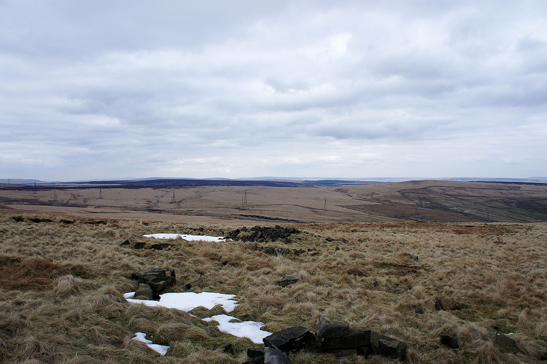
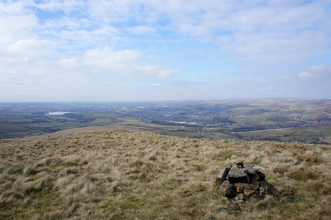
A pathless ascent of Rishworth Moor brought me to Cat Stones and a view across to the moors above Calderdale
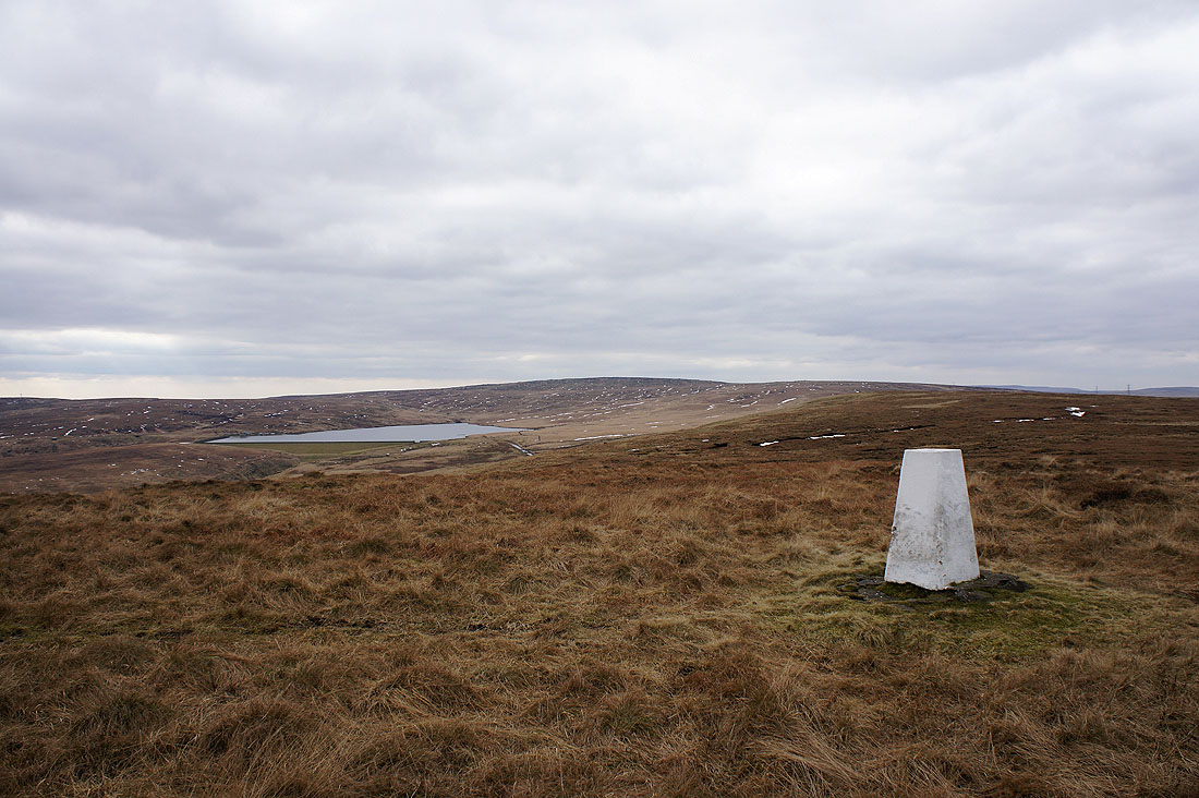
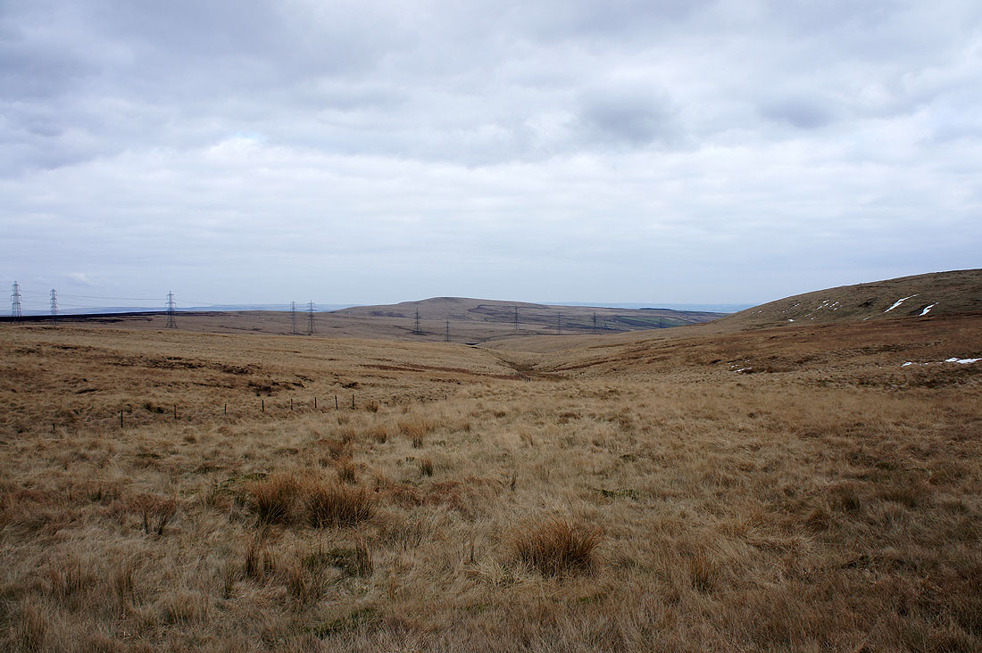
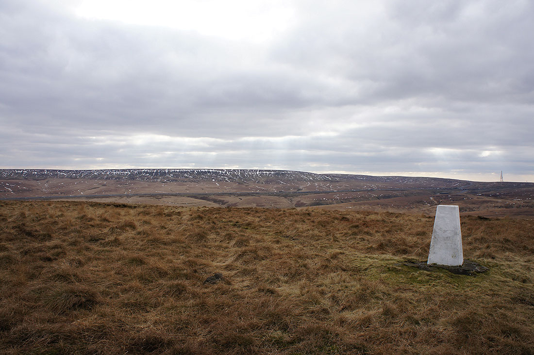
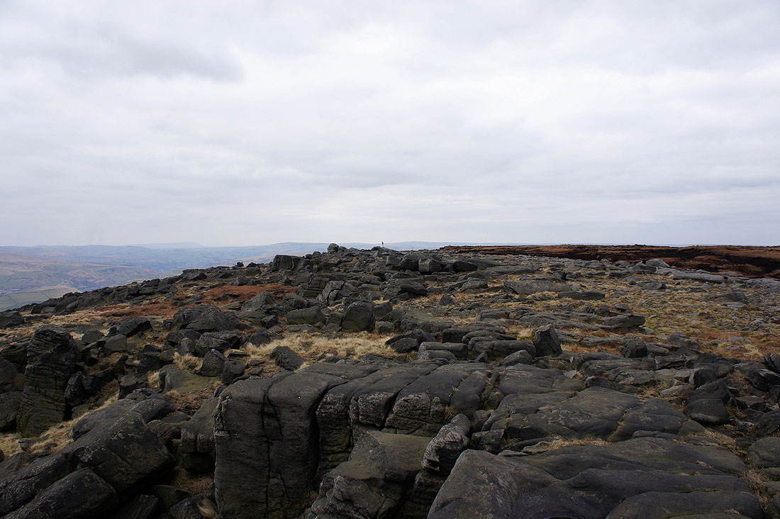
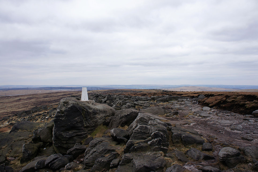
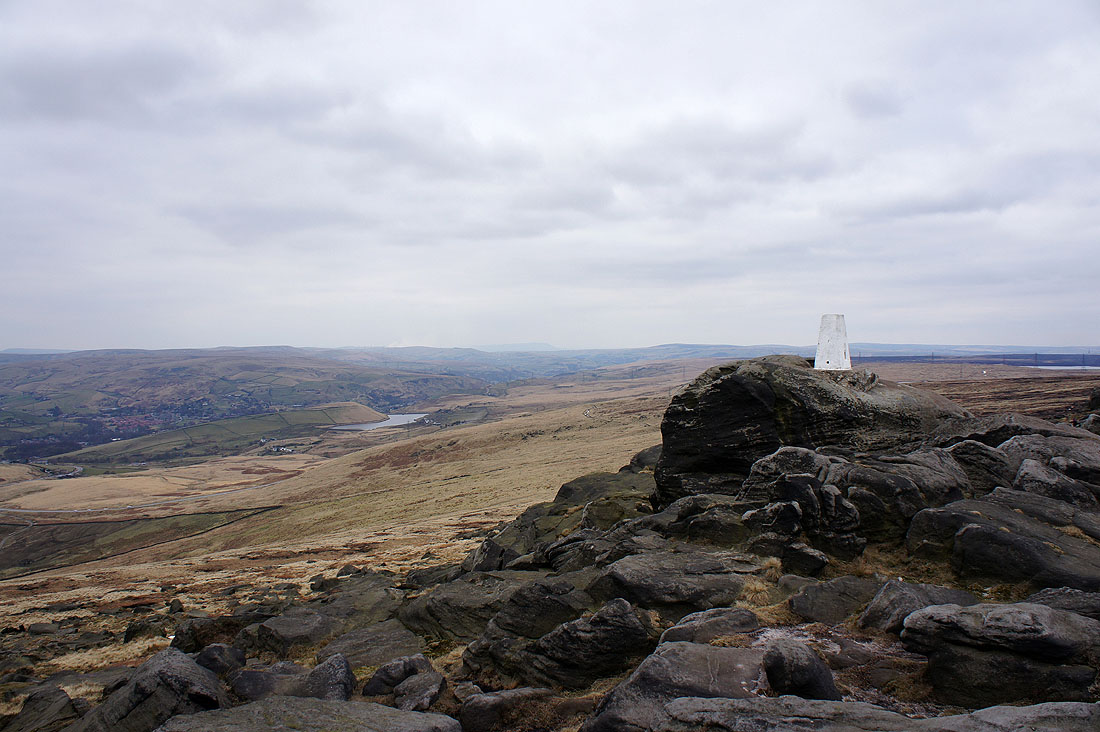
Green Withins Reservoir and Blackstone Edge from the trig point on Dog Hill, the high point of Rishworth Moor
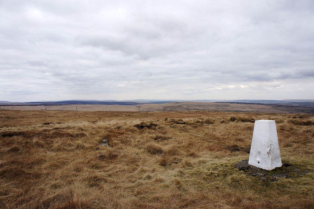
To the north is Higher House Moor, Manshead End and the moors around Calderdale with the high point in the far distance in the middle of the picture, Boulsworth Hill
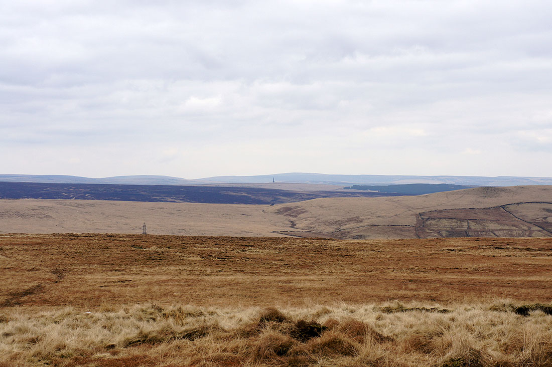
Zooming in and the Stoodley Pike Monument can be made out with Boulsworth Hill behind it
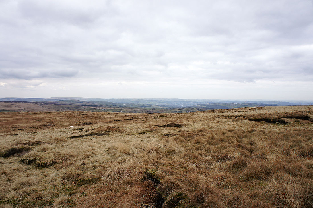
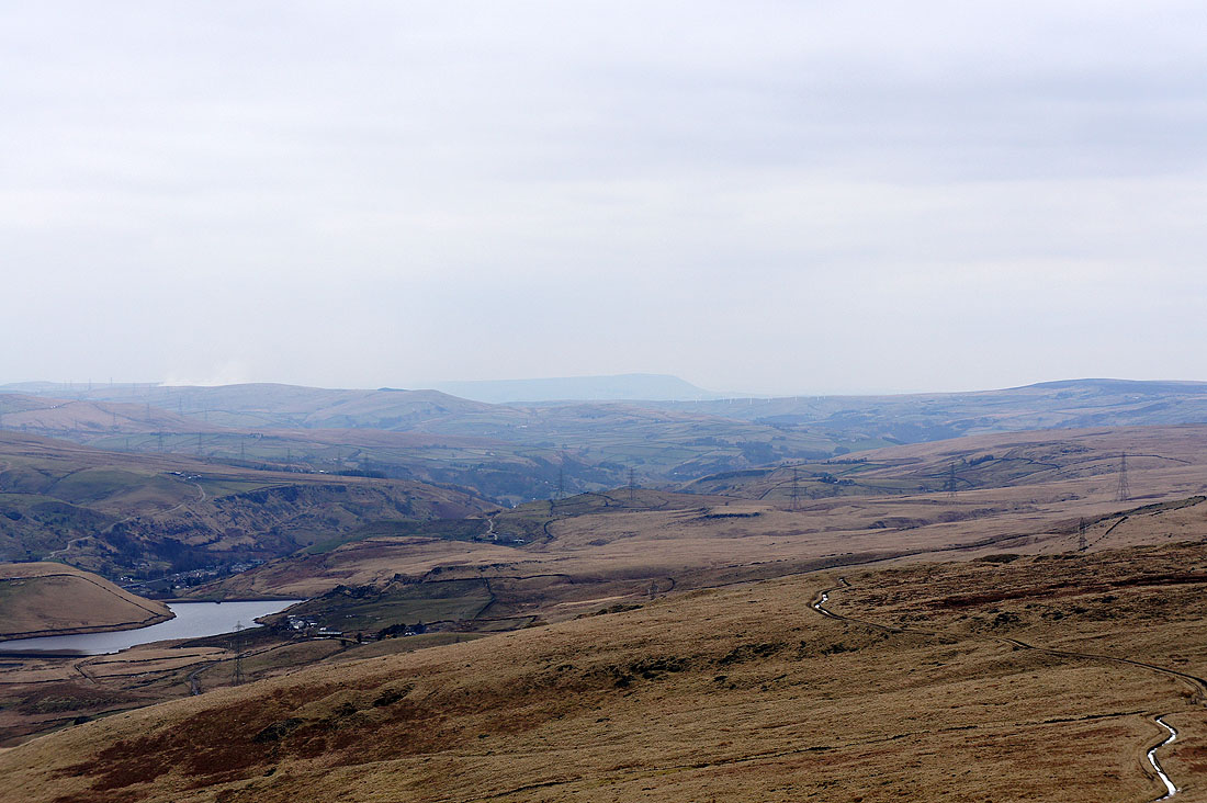
Looking down the valley of the River Ryburn towards Ripponden
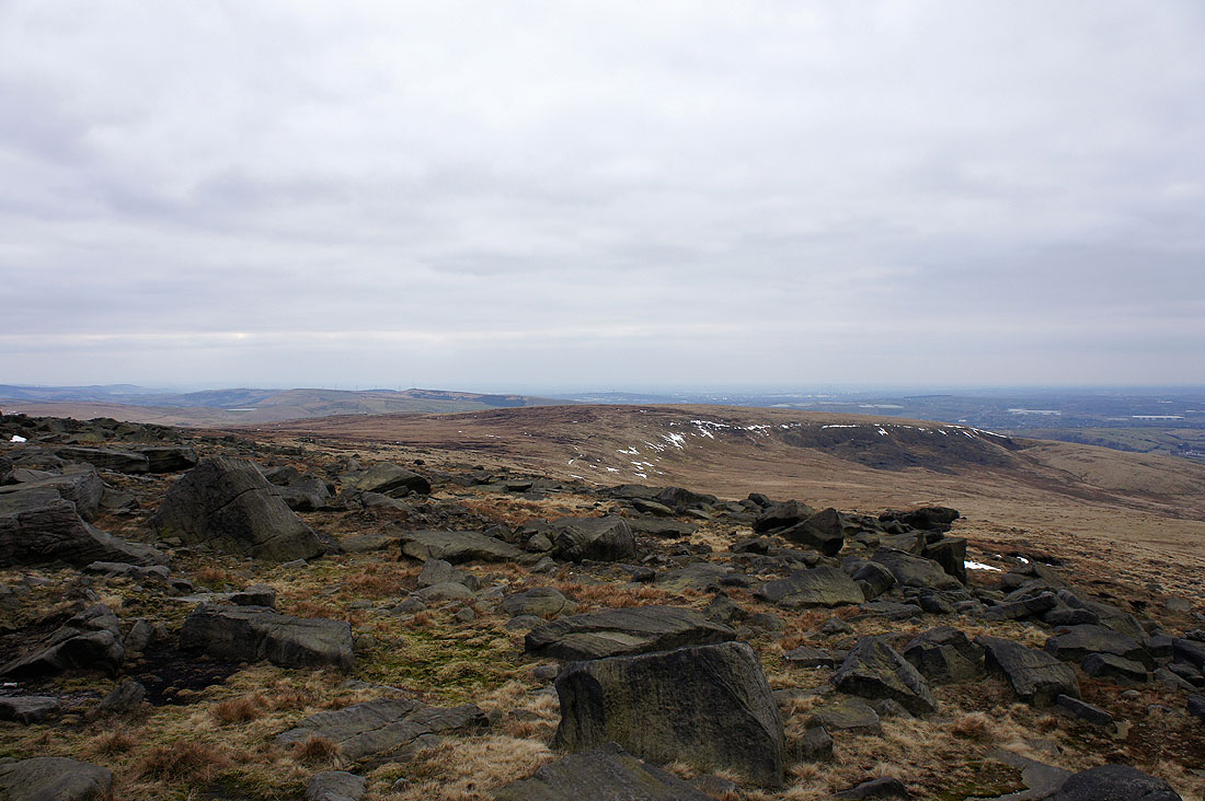
Moss Moor and Way Stone Edge on the other side of the M62
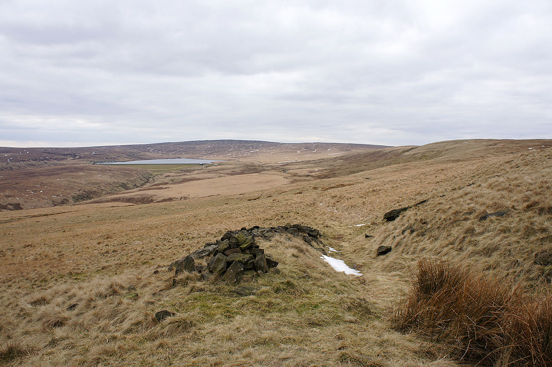
From the top of Dog Hill I made my way south onto the other side of Rishworth Moor to pick up this path that heads for Green Withins Reservoir
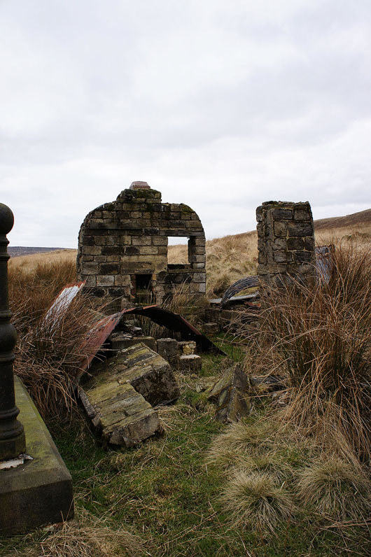
The path joins a catchwater drain and there were a few of these ruined buildings alongside it. I wonder if they were huts built as a form of shelter for the workmen who built the drain and reservoir. The standing back wall has a small hearth with a chimney above it.
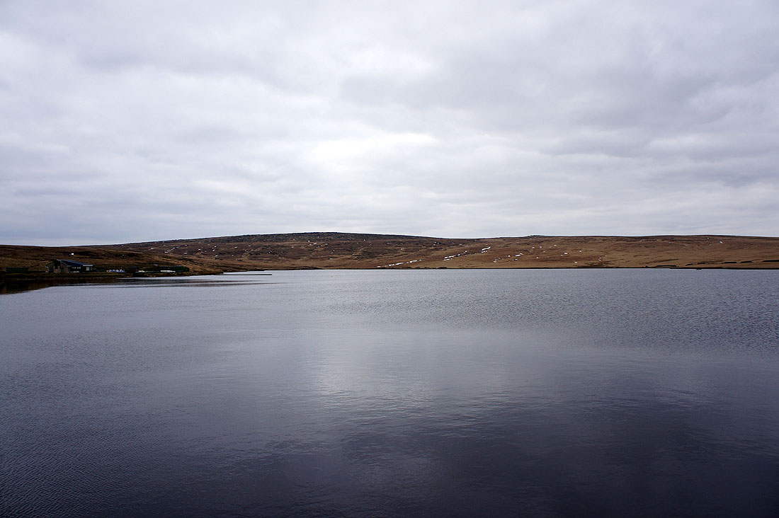
By Green Withins Reservoir
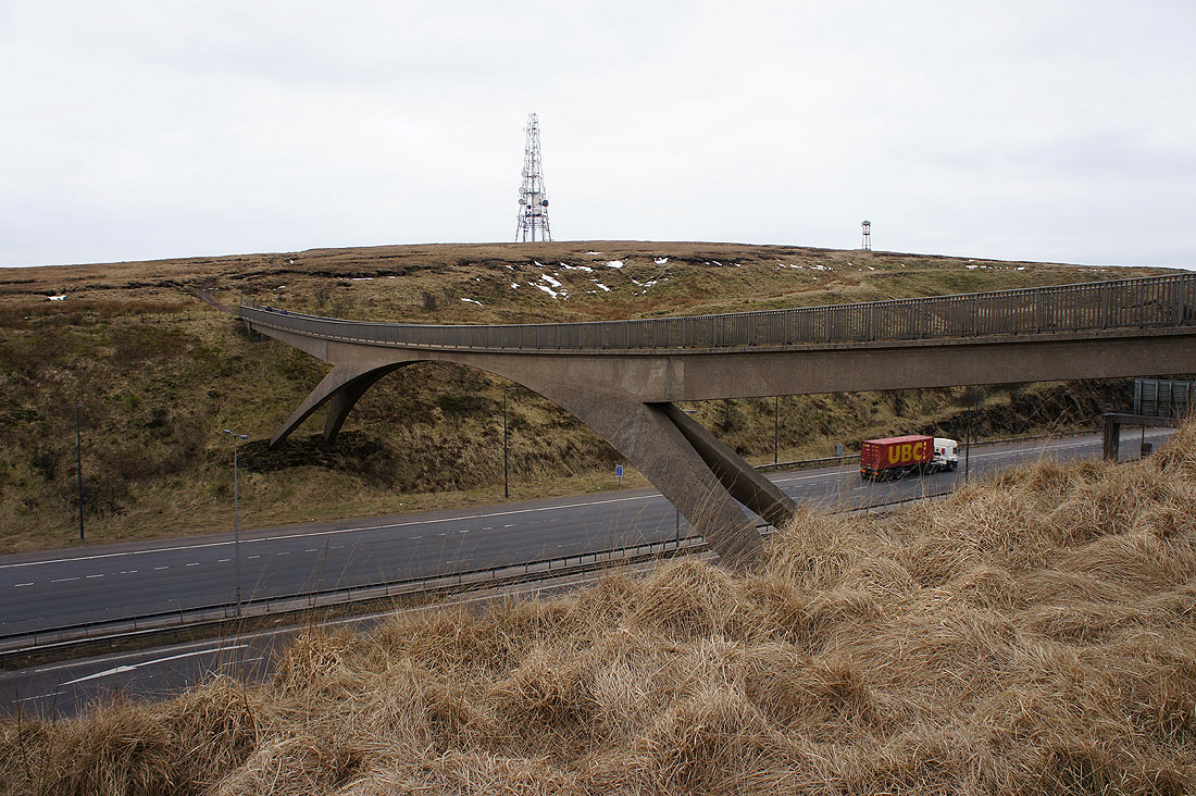
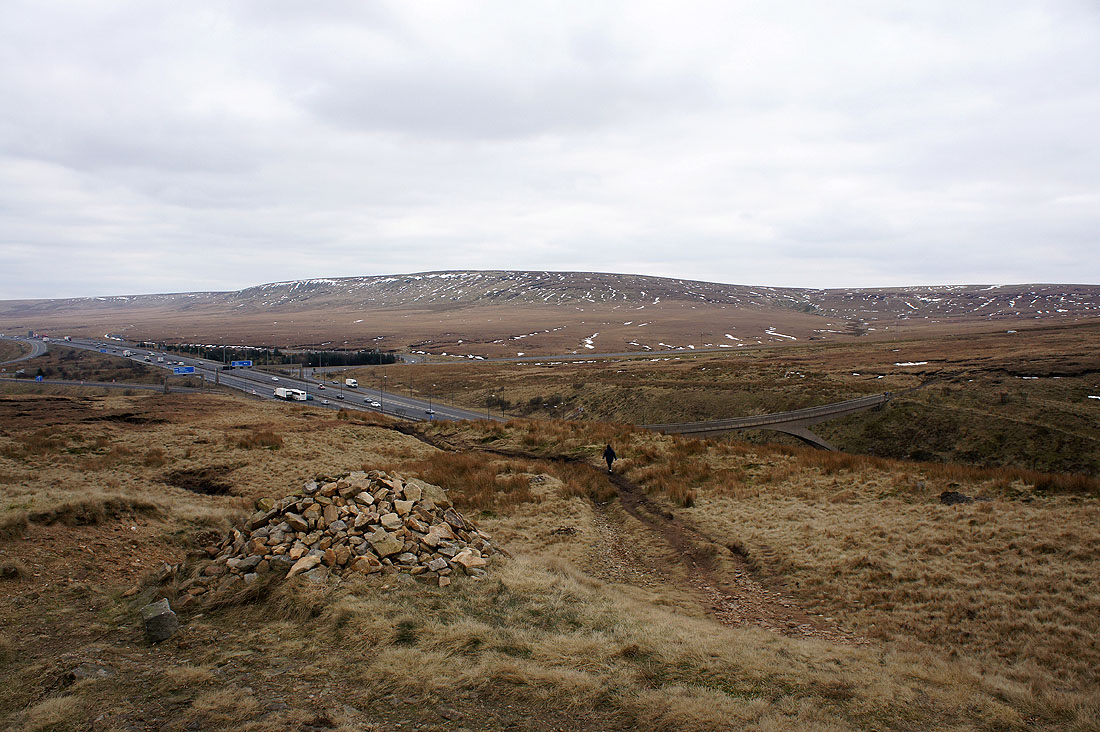
From the reservoir I followed another catchwater drain to link up with the Pennine Way as it crosses the M62. The bridge carrying the Pennine Way over the M62.
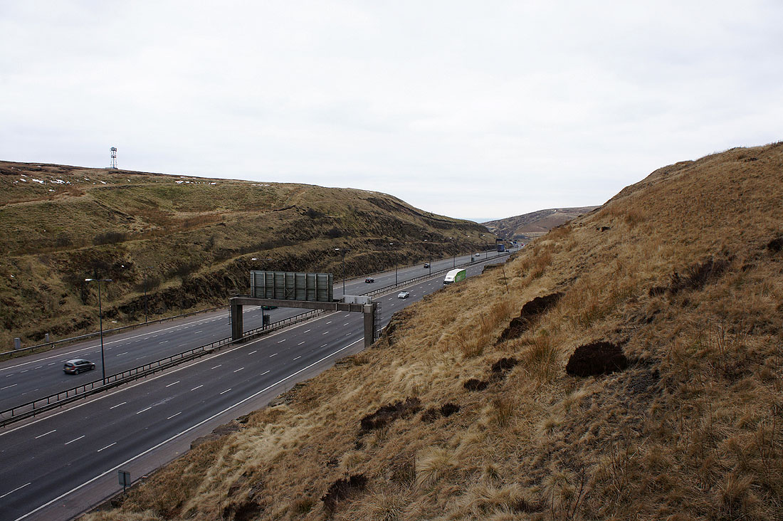
Looking west and..
..east with Moss Moor and Way Stone Edge in the background
On Blackstone Edge with the trig point ahead
On the summit of Blackstone Edge with the moors above Calderdale in the distance
Looking west with Hollingworth Lake on the left and Winter Hill in the distance in the middle of the picture
Hoar Edge
The Summit gorge to the northwest allows..
..Pendle Hill to be seen in the distance
This is a short section of what is marked on the OS map as a "Roman Road". There is some debate about this however and that it could be the remains of a "causey", a packhorse trail. Either way, they're worth looking at and imagining the travellers that used it in days long ago.
Following the Pennine Way brings me back to the car park below Blackstone Edge Reservoir