3rd March 2023 - Twiston Moor and Pendle Hill
Walk Details
Distance walked: 12.7 miles
Total ascent: 2279 ft
OS map used: OL41 - Forest of Bowland & Ribblesdale
Time taken: 6.5 hrs
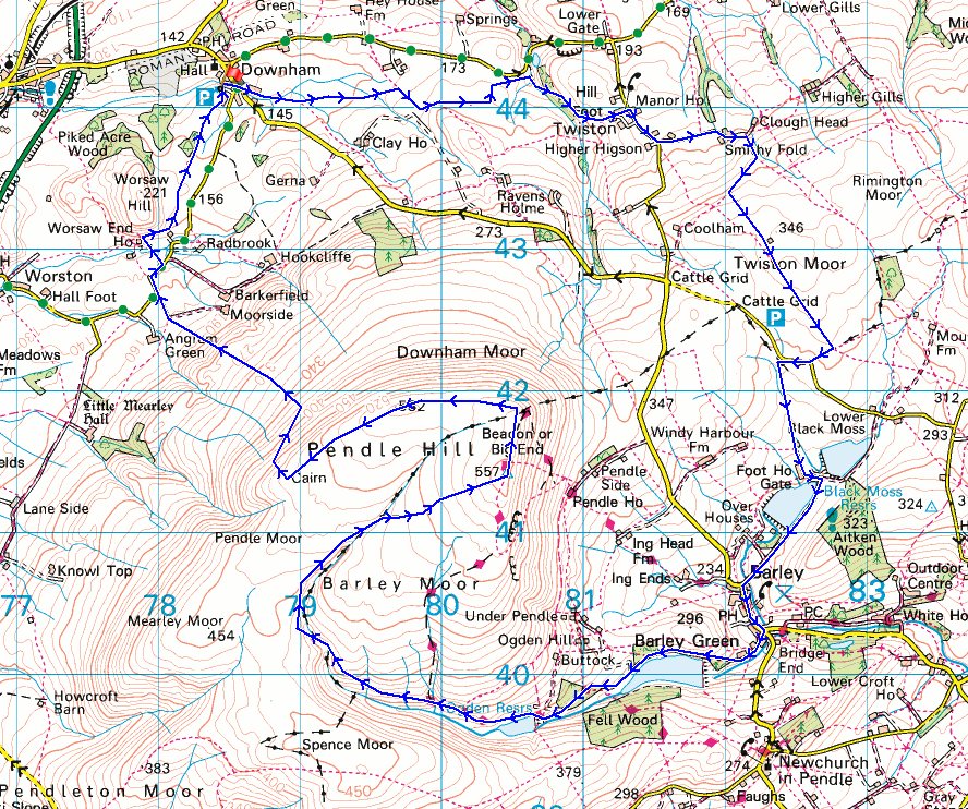
Route description: Downham-Twiston-Smithy Fold-Twiston Moor-Black Moss Road-Lower Black Moss Reservoir-Barley-Lower Ogden Reservoir-Upper Ogden Reservoir-Ogden Clough-Pendle Hill-Dowham Moor-Worston Moor-Burst Clough-West Lane-Worsaw Hill Farm-Downham
Today is my Friday off work, so I thought it would be a good time for a walk up Pendle Hill as it would probably be quieter than at a weekend. I decided to make Downham my starting point, as I've not done a walk up Pendle Hill from there for a few years. However, a walk from Downham taking in just Pendle Hill would be only 3 or 4 hours long, so to make more of a day of it I took a route from Downham to Twiston, and then across Twiston Moor to Barley to have lunch at The Cabin at the picnic site there, before heading up Ogden Clough to the summit of Pendle Hill. The forecast was for a fine day, though predominantly cloudy, and that proved to be the case. There was very little in the way of brightness but at least the visibility was good enough for decent views from the moors.
From the car park in Downham I made my way to Pendle Road and then along Town End Road to take a footpath east across fields to Twiston Beck, then up to Hill Foot Farm and the hamlet of Twiston. After a brief walk south along the road through Twiston I turned left and took the lane to Smithy Fold, then from the end of the lane a track up onto Twiston Moor. I then made my way south across Twiston Moor using a walled track and footpath to a stile in the wall at the southern end of the moor, which after crossing I turned right and followed the footpath to Black Moss Road. There was then a brief walk west along Black Moss Road to take a permissive path on the left down to Lower Black Moss Reservoir, and from there I walked down a track from the reservoir to the village of Barley. After a break for lunch in Barley I took the bridleway up the lane to Lower Ogden Reservoir, then the track up to Upper Ogden Reservoir to take a path up Ogden Clough, and to the trig point on the summit of Pendle Hill. From the trig point I made my way north to the gate in the wall onto Downham Moor, and then west across the moor to a gate which I went through onto Worston Moor. I walked southwest across the moor past the circular shelter to reach the Scout Cairn, which was my cue to head down. A path traverses the side of the hill and down by Burst Clough to reach the road end by Angram Green. I then walked north and east along West Lane to reach a track on the left and a footpath to Worsaw Hill Farm, and once past the farm and through a gate in a wall I followed a footpath north across fields back to Downham.
Total ascent: 2279 ft
OS map used: OL41 - Forest of Bowland & Ribblesdale
Time taken: 6.5 hrs
Route description: Downham-Twiston-Smithy Fold-Twiston Moor-Black Moss Road-Lower Black Moss Reservoir-Barley-Lower Ogden Reservoir-Upper Ogden Reservoir-Ogden Clough-Pendle Hill-Dowham Moor-Worston Moor-Burst Clough-West Lane-Worsaw Hill Farm-Downham
Today is my Friday off work, so I thought it would be a good time for a walk up Pendle Hill as it would probably be quieter than at a weekend. I decided to make Downham my starting point, as I've not done a walk up Pendle Hill from there for a few years. However, a walk from Downham taking in just Pendle Hill would be only 3 or 4 hours long, so to make more of a day of it I took a route from Downham to Twiston, and then across Twiston Moor to Barley to have lunch at The Cabin at the picnic site there, before heading up Ogden Clough to the summit of Pendle Hill. The forecast was for a fine day, though predominantly cloudy, and that proved to be the case. There was very little in the way of brightness but at least the visibility was good enough for decent views from the moors.
From the car park in Downham I made my way to Pendle Road and then along Town End Road to take a footpath east across fields to Twiston Beck, then up to Hill Foot Farm and the hamlet of Twiston. After a brief walk south along the road through Twiston I turned left and took the lane to Smithy Fold, then from the end of the lane a track up onto Twiston Moor. I then made my way south across Twiston Moor using a walled track and footpath to a stile in the wall at the southern end of the moor, which after crossing I turned right and followed the footpath to Black Moss Road. There was then a brief walk west along Black Moss Road to take a permissive path on the left down to Lower Black Moss Reservoir, and from there I walked down a track from the reservoir to the village of Barley. After a break for lunch in Barley I took the bridleway up the lane to Lower Ogden Reservoir, then the track up to Upper Ogden Reservoir to take a path up Ogden Clough, and to the trig point on the summit of Pendle Hill. From the trig point I made my way north to the gate in the wall onto Downham Moor, and then west across the moor to a gate which I went through onto Worston Moor. I walked southwest across the moor past the circular shelter to reach the Scout Cairn, which was my cue to head down. A path traverses the side of the hill and down by Burst Clough to reach the road end by Angram Green. I then walked north and east along West Lane to reach a track on the left and a footpath to Worsaw Hill Farm, and once past the farm and through a gate in a wall I followed a footpath north across fields back to Downham.
Route map
© Crown copyright. All rights reserved. License number PU 100034184.
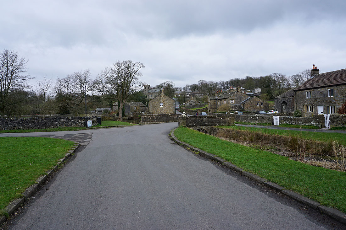
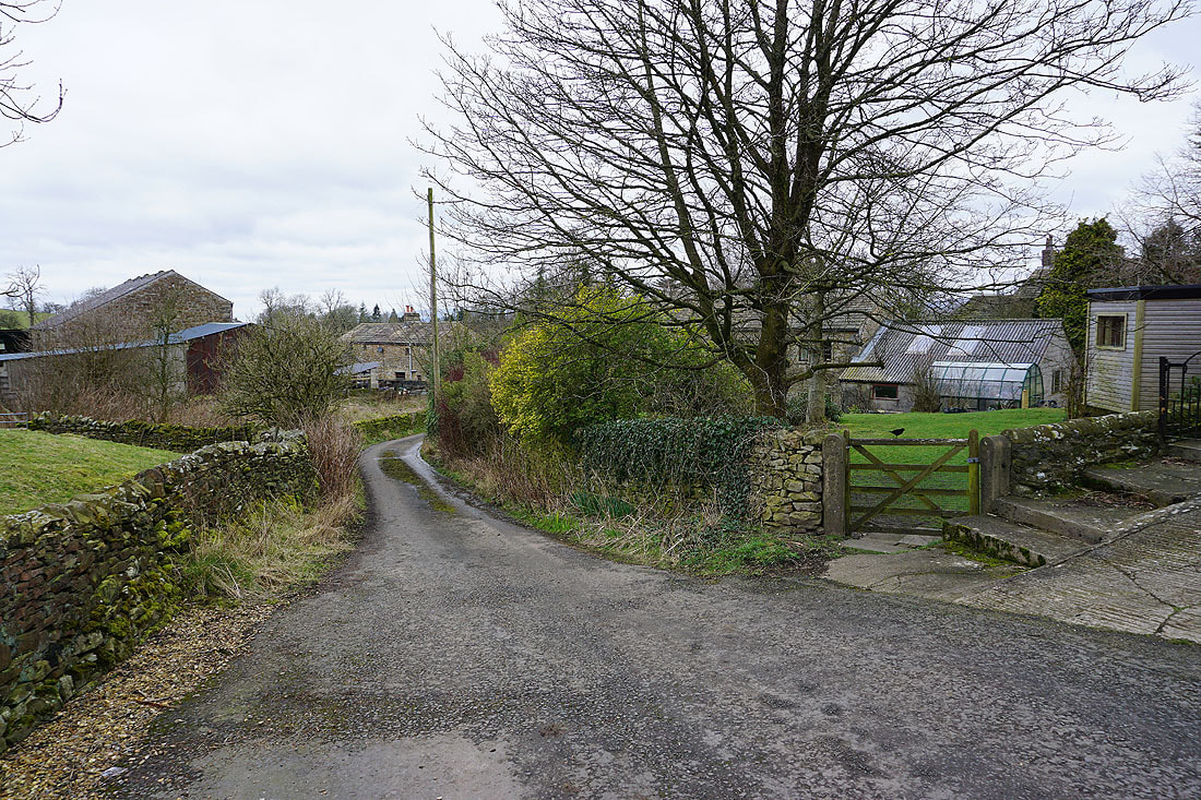
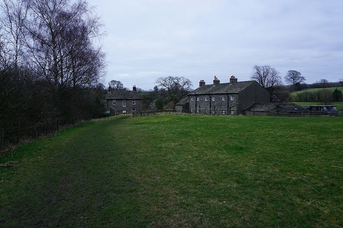
It's a grey morning as I set off from the village of Downham
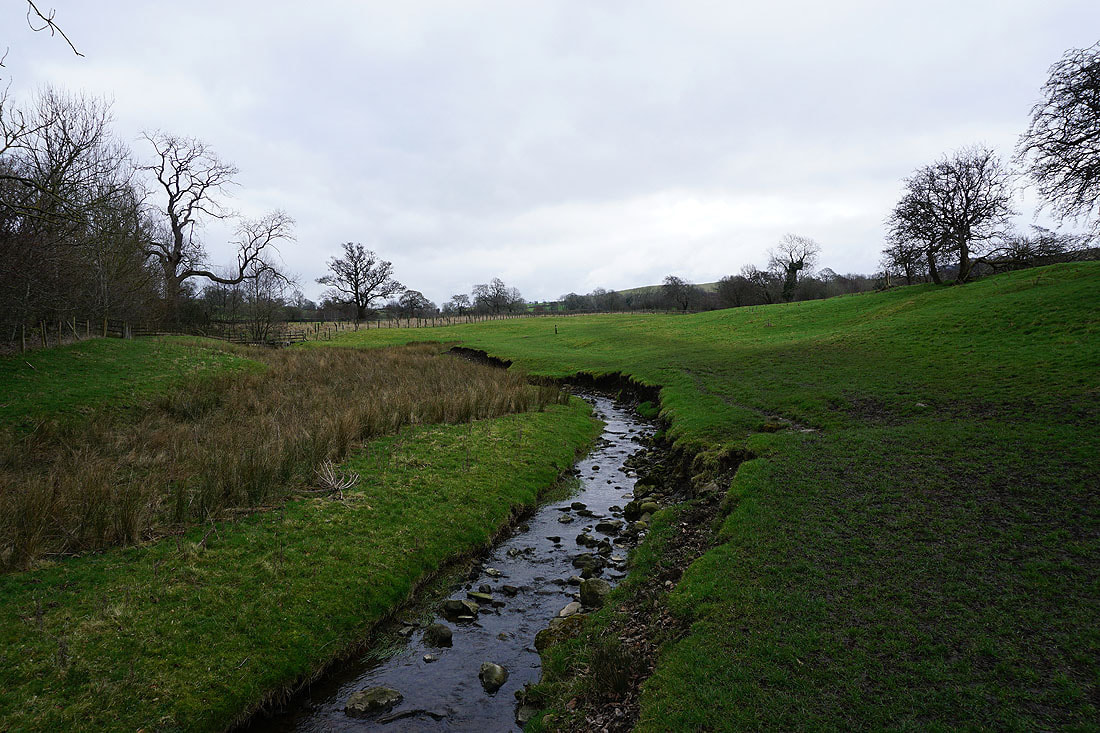
Leaving Downham beside Downham Beck
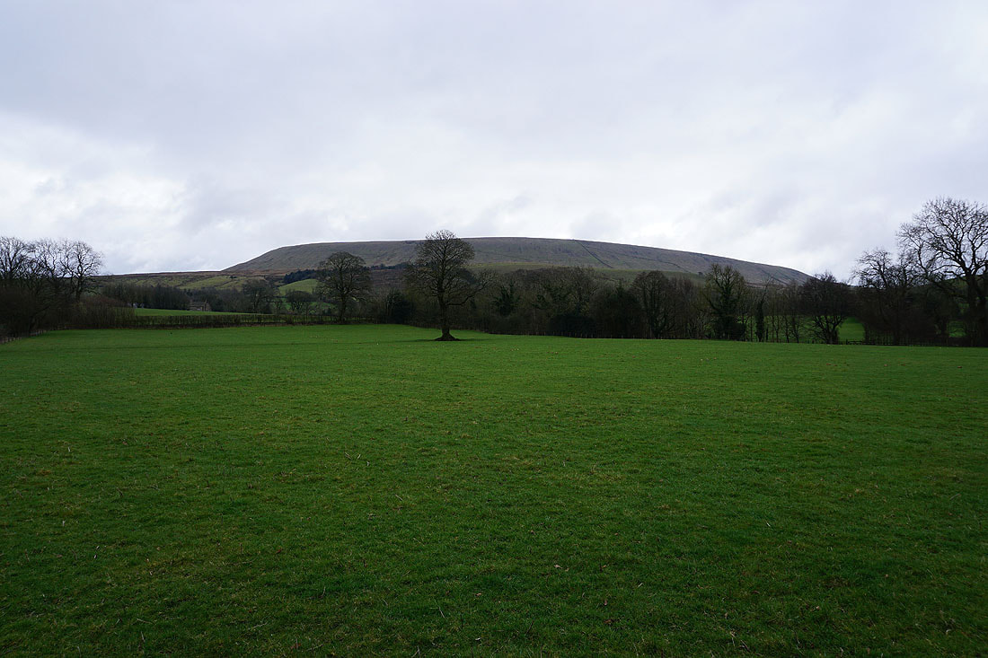
Pendle Hill rises to my right
Heading east across fields towards Twiston
To my left, Easington Fell on the other side of the Ribble Valley
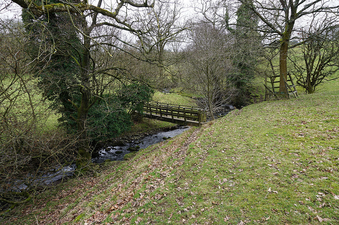
On the footpath down to and across Twiston Beck, then up to Twiston...
Looking south across the valley of Twiston Beck to Pendle Hill
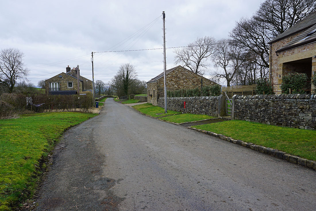
In the hamlet of Twiston
From Twiston I walk along the lane to Smithy Fold
In the hamlet of Smithy Fold
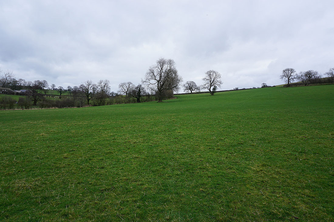
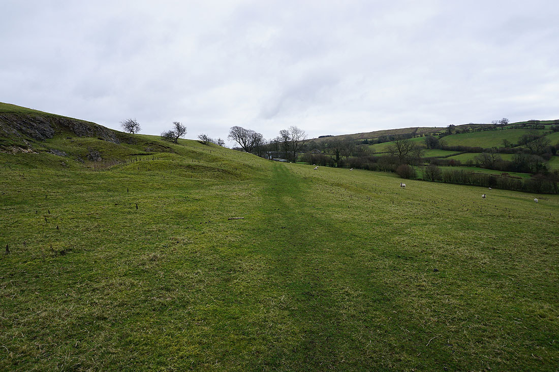
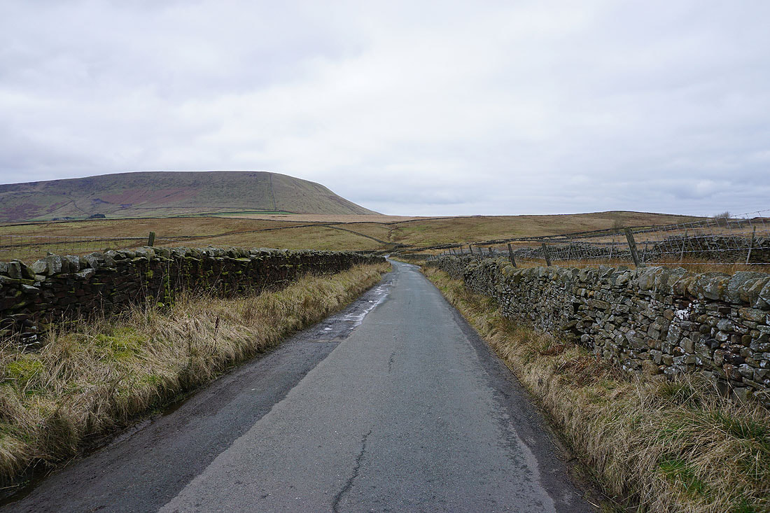
Ingleborough and Penyghent soon appear in the distance as I take the footpath up onto Twiston Moor
and then Pendle Hill, as I head west
There are great views to the north and northeast across the Ribble Valley to the eastern fells of the Forest of Bowland, Ingleborough and Penyghent..
..and to the moors above Settle and Malham
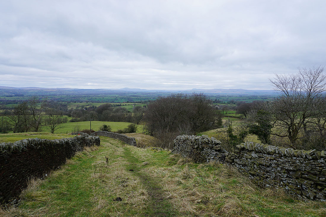
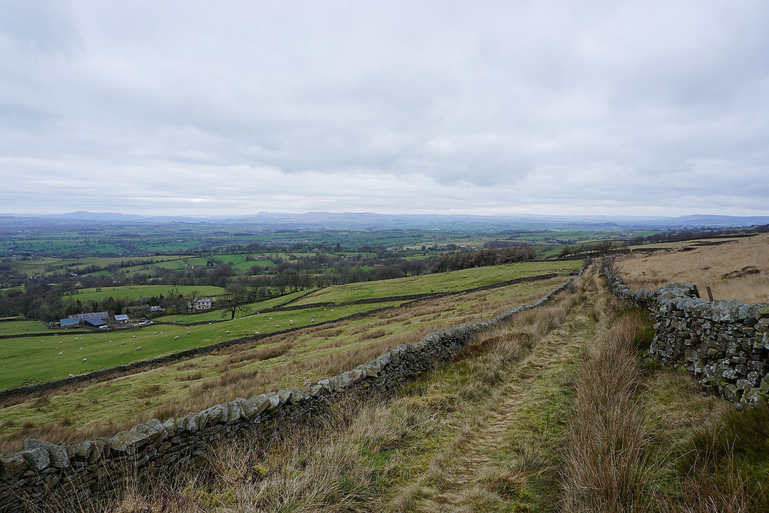
The eastern fells of the Forest of Bowland, Ingleborough and Penyghent from the walled track of an "occupation road" across Twiston Moor
Following the track south across the moor..
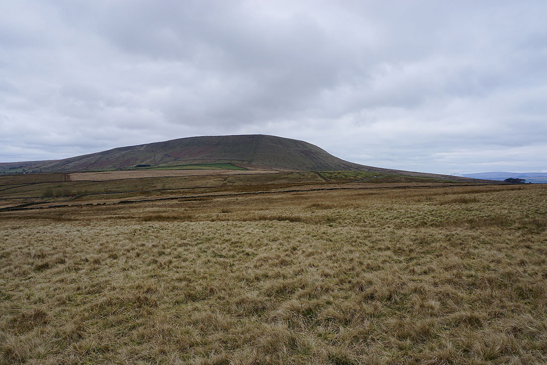
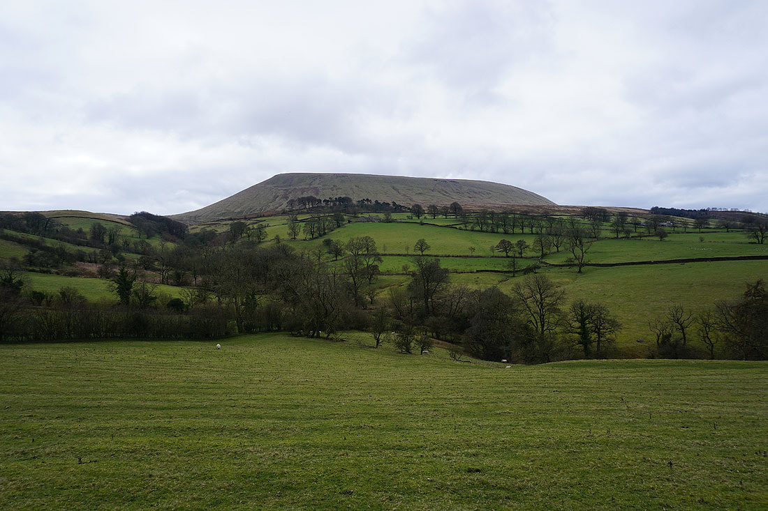
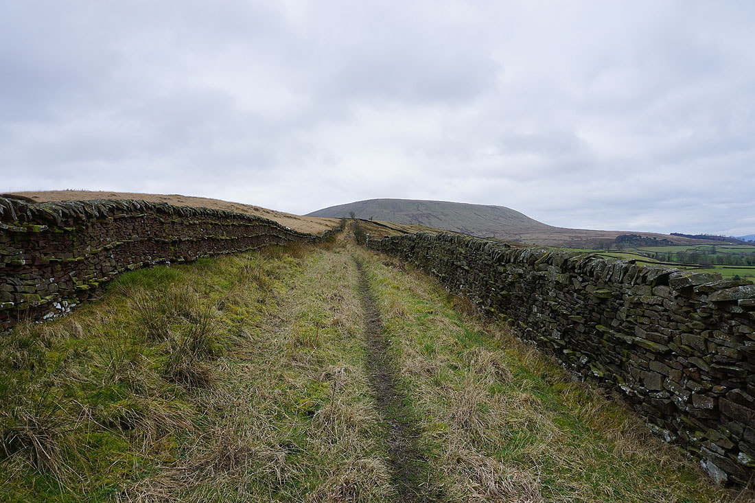
Pendle Hill looms large above Twiston Moor
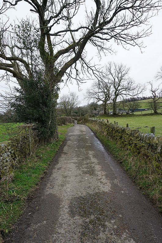
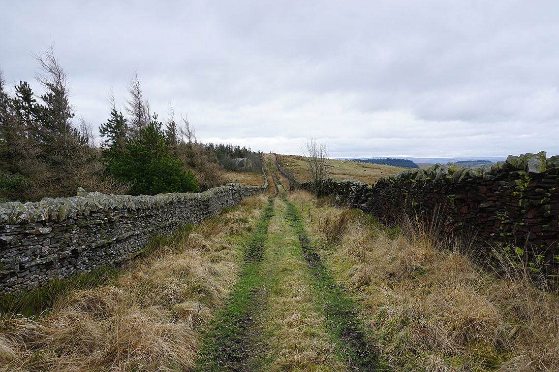
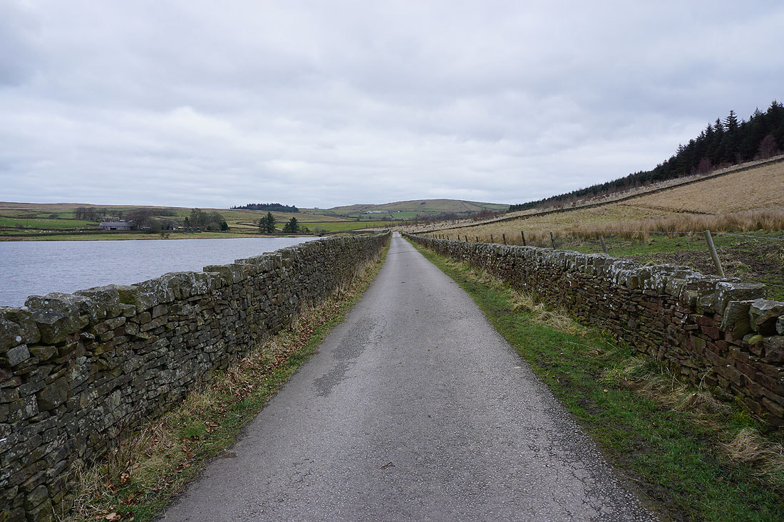
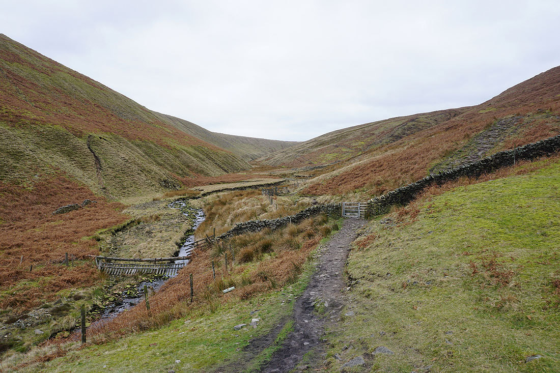
After leaving Twiston Moor I have a short walk west along Black Moss Road
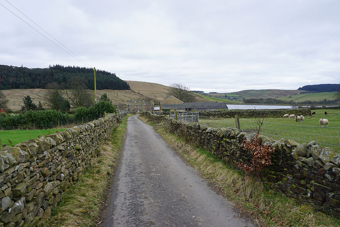
and I then follow a footpath and track down to Lower Black Moss Reservoir
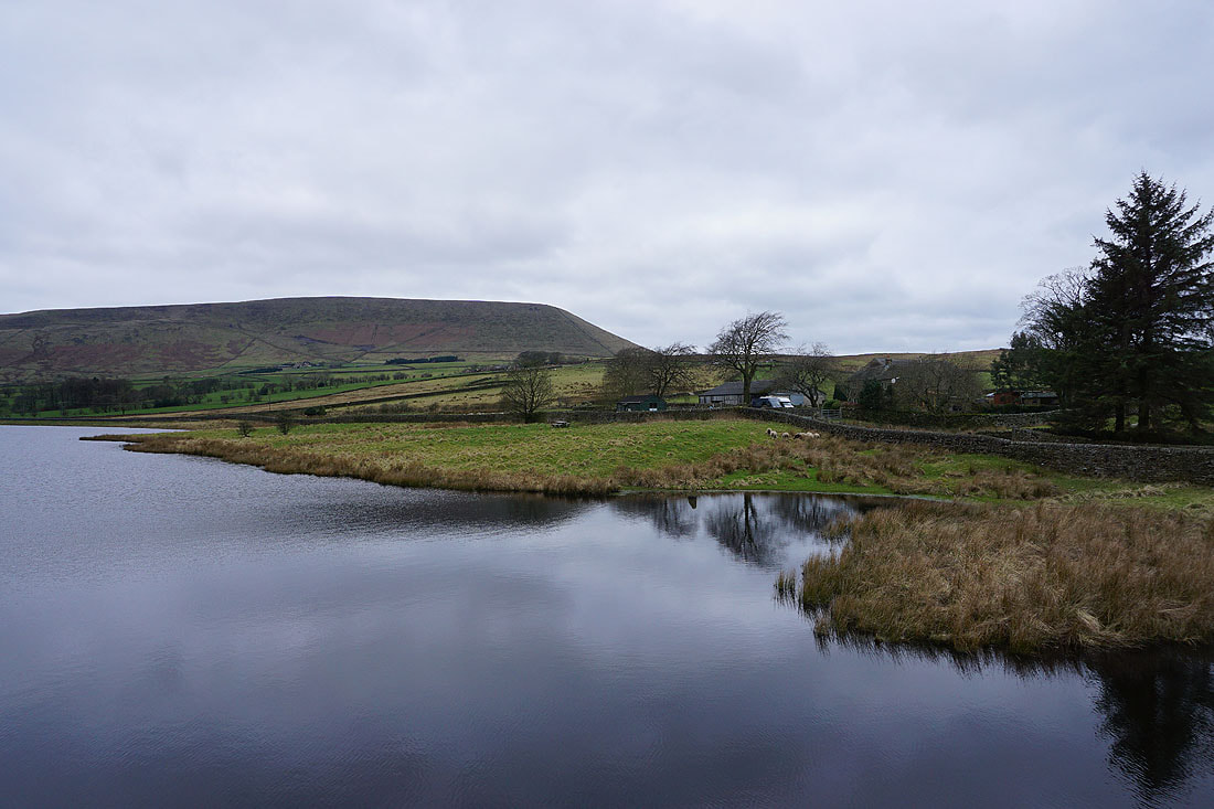
Pendle Hill from Lower Black Moss Reservoir
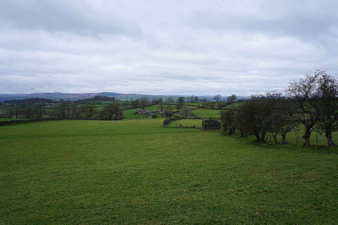
Looking back along the track beside Lower Black Moss Reservoir to Wheathead Height in the distance
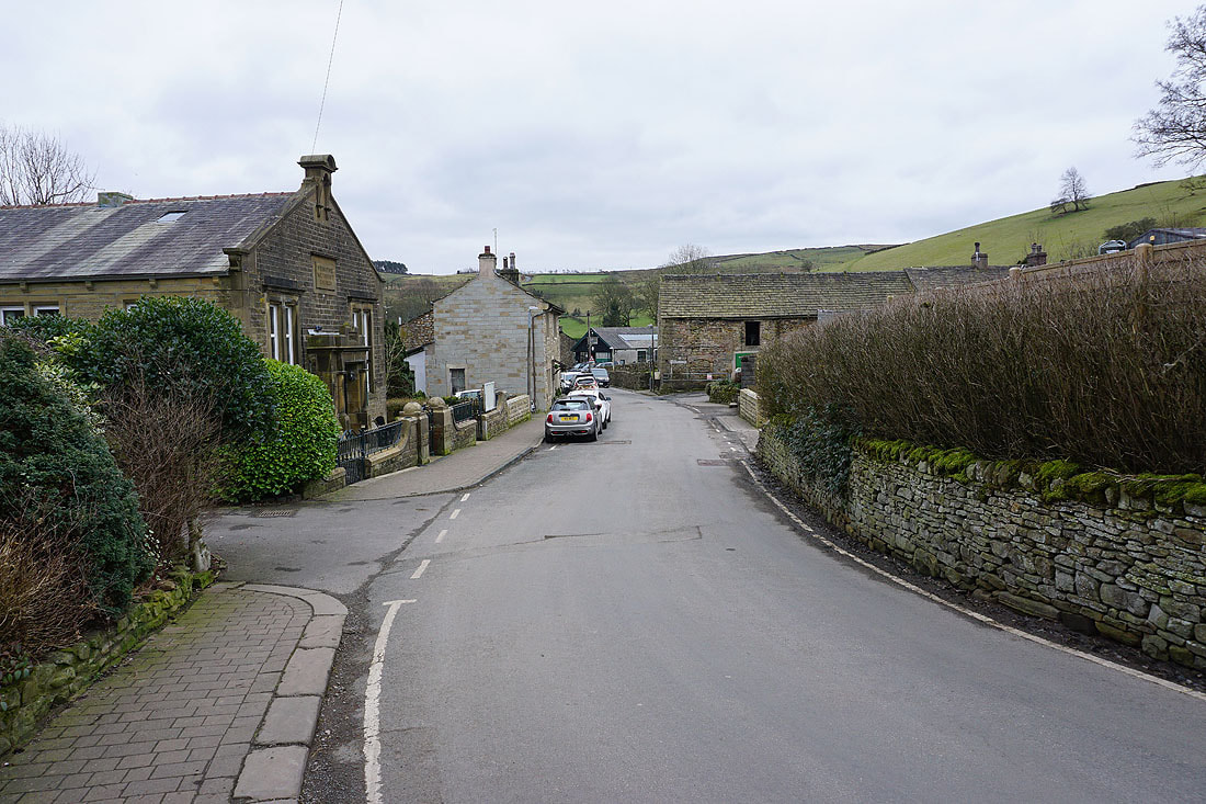
In the village of Barley
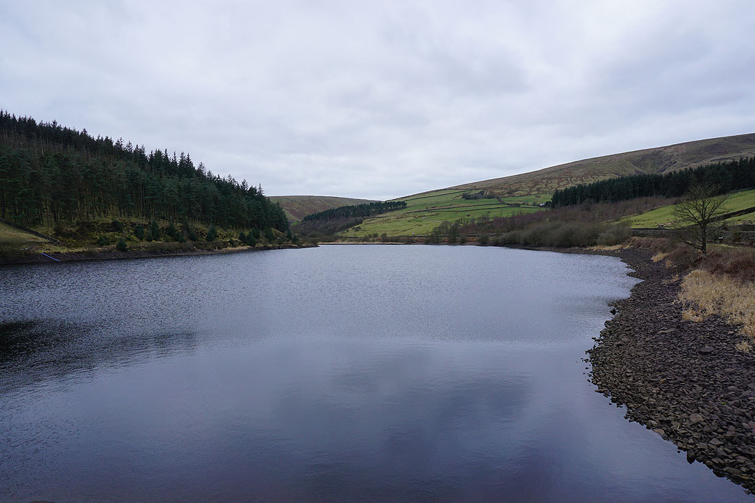
After stopping for lunch in Barley I'm heading up Ogden Clough to Pendle Hill. Past Lower Ogden Reservoir..
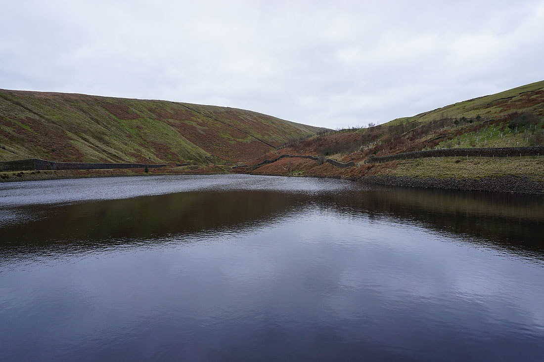
..and Upper Ogden Reservoir
Making my way up Ogden Clough.....
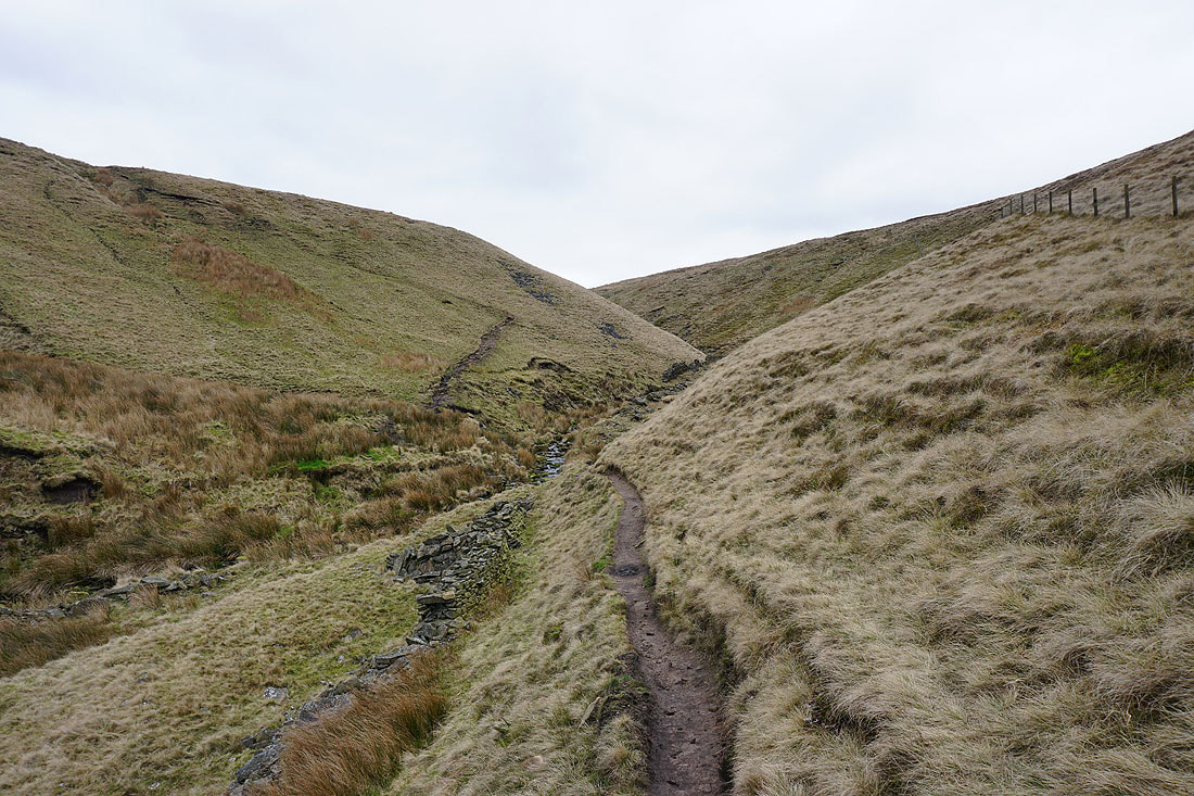
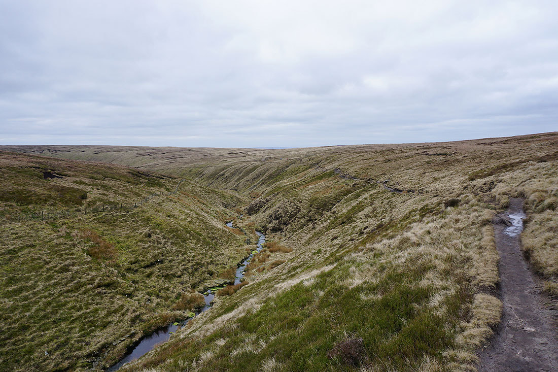
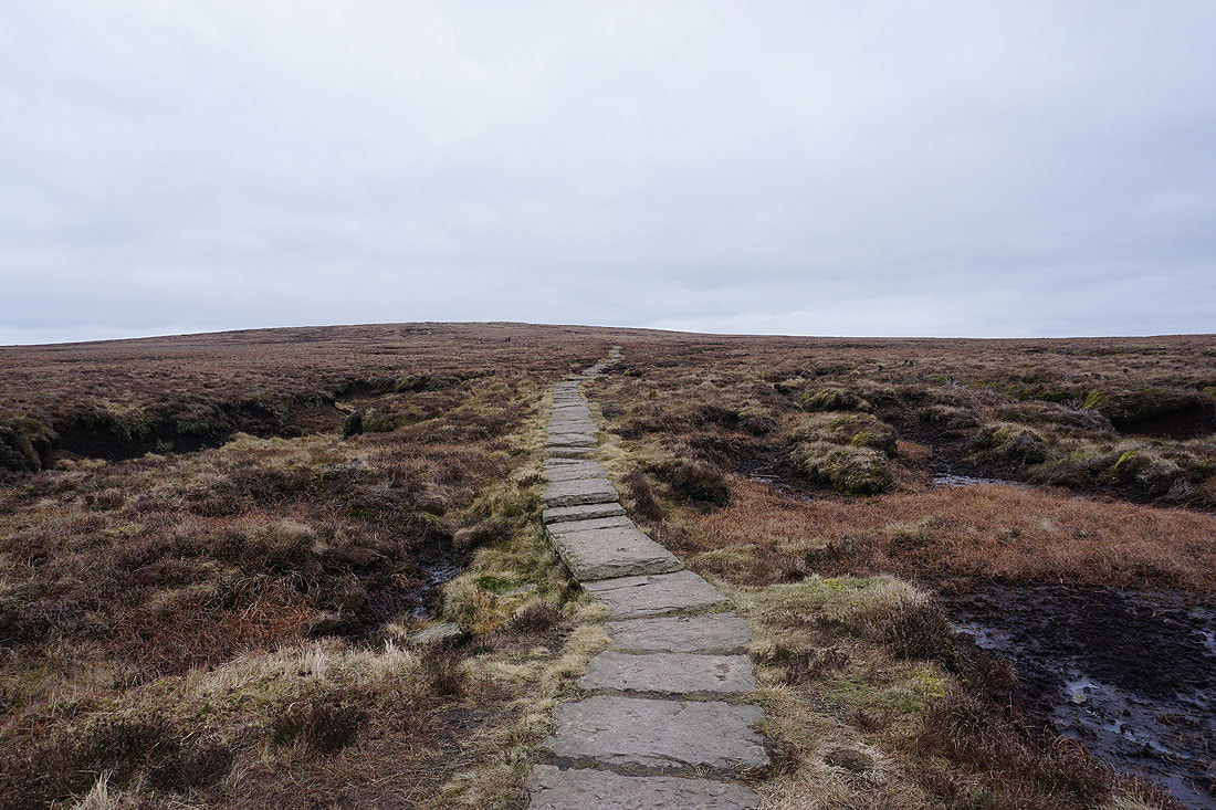
Ogden Clough is left for the flagged path to the summit
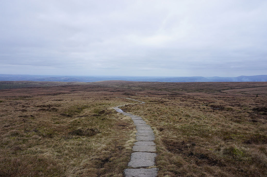
Looking back to the Ribble Valley in the distance
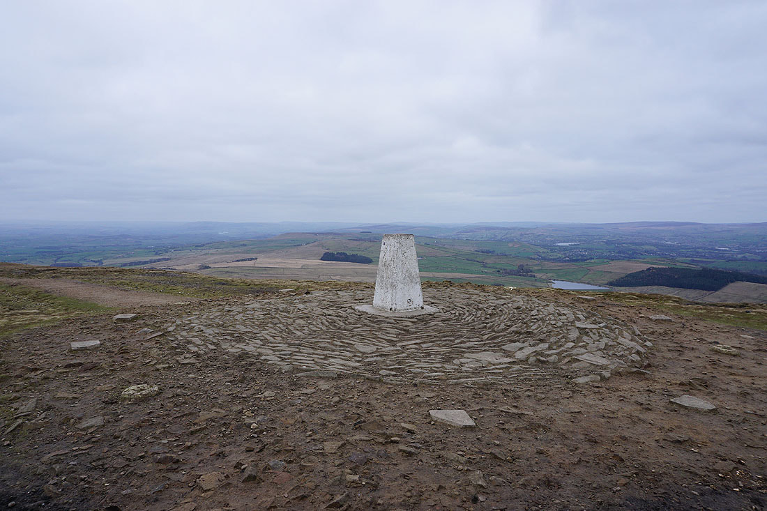
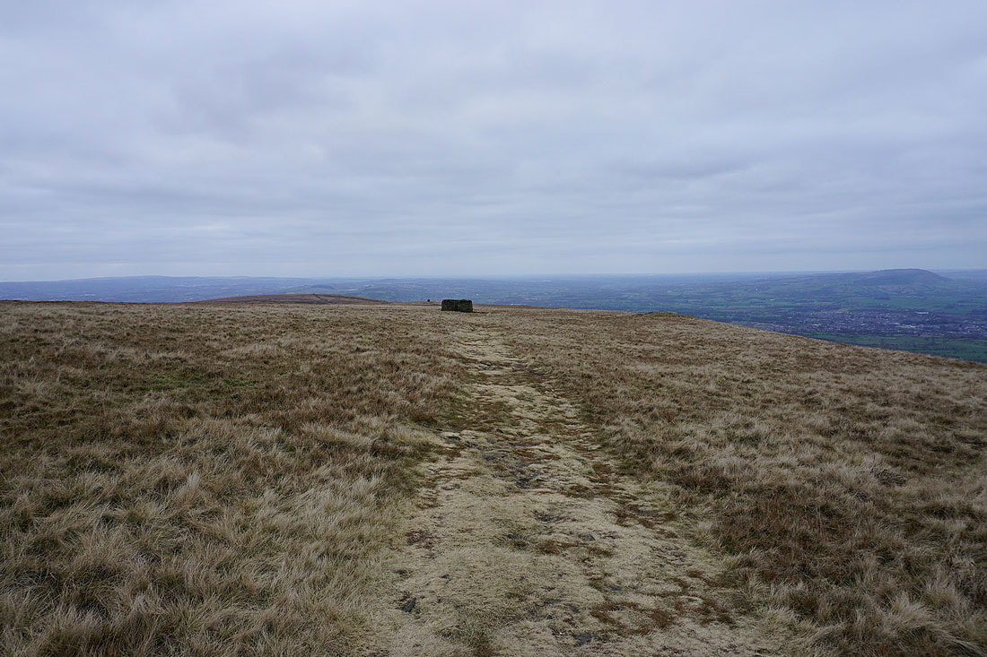
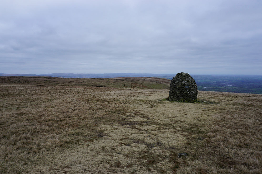
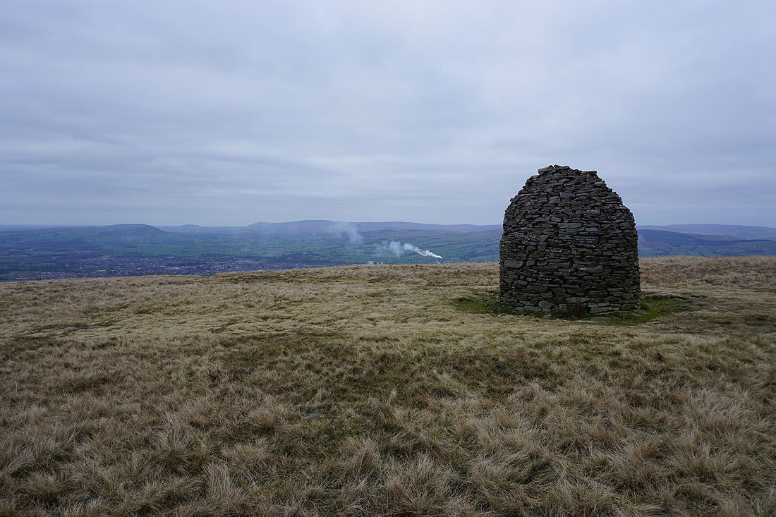
At the trig point on the summit of Pendle Hill
The West Pennine Moors in the distance to the southwest
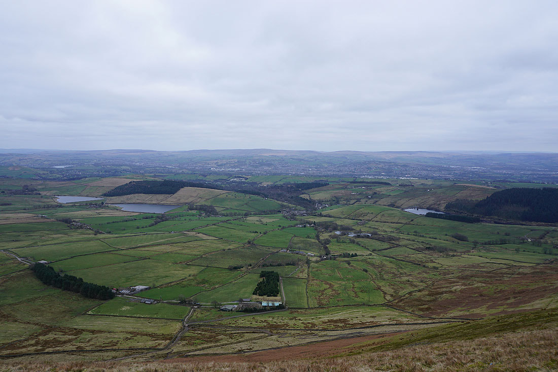
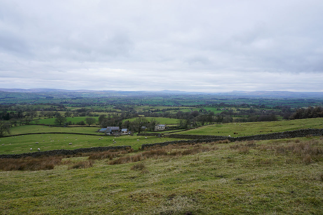
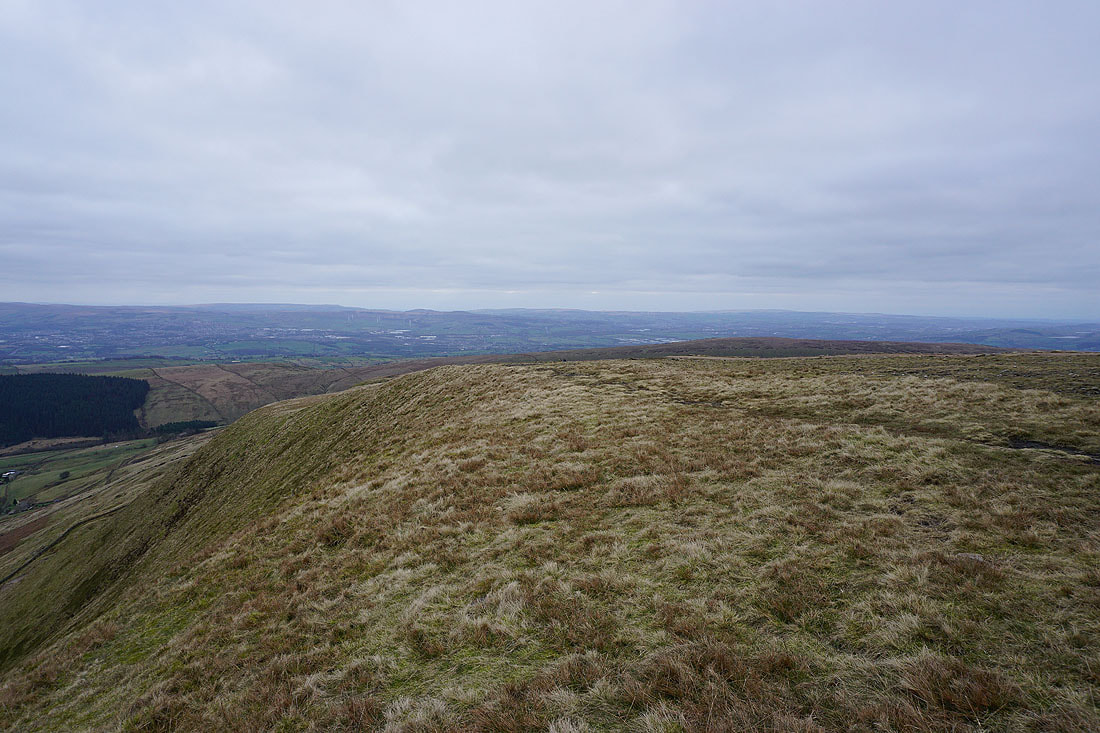
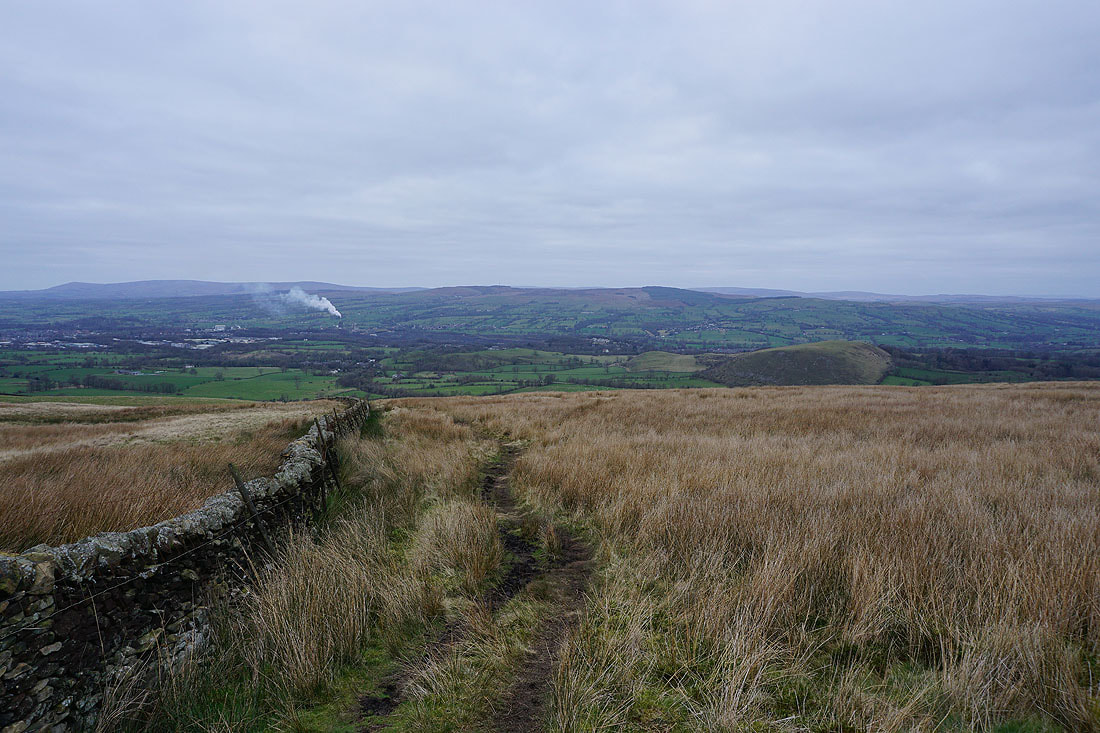
The Black Moss Reservoirs, Barley, and Lower Ogden Reservoir below, with Boulsworth Hill in the distance
Twiston Moor and Rimington Moor below, with the moors above Wharfedale and Airedale in the distance
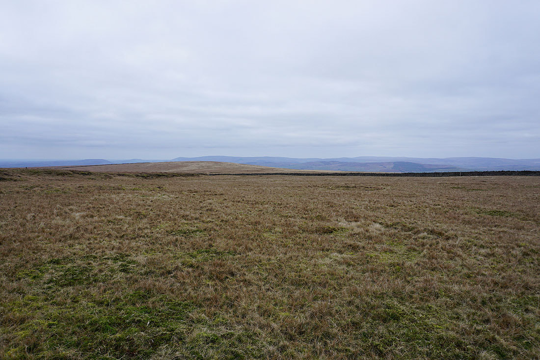
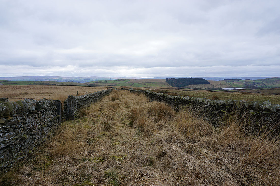
The fells of the Forest of Bowland beyond Downham Moor
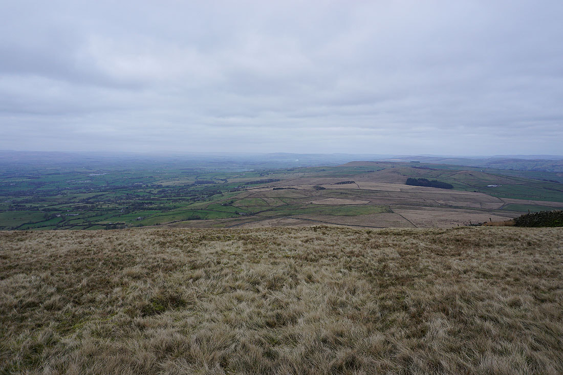
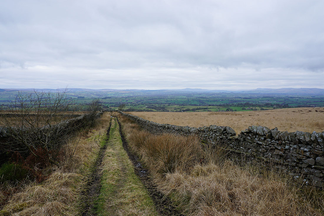
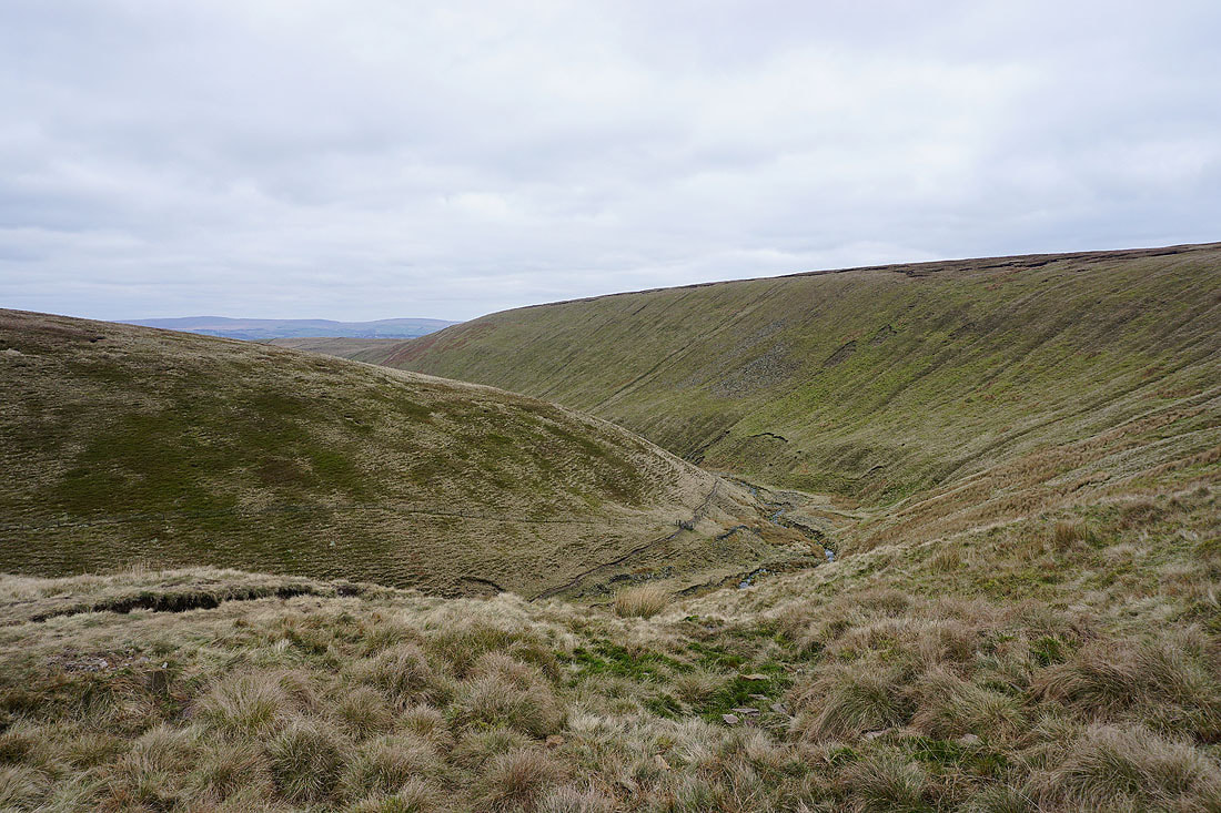
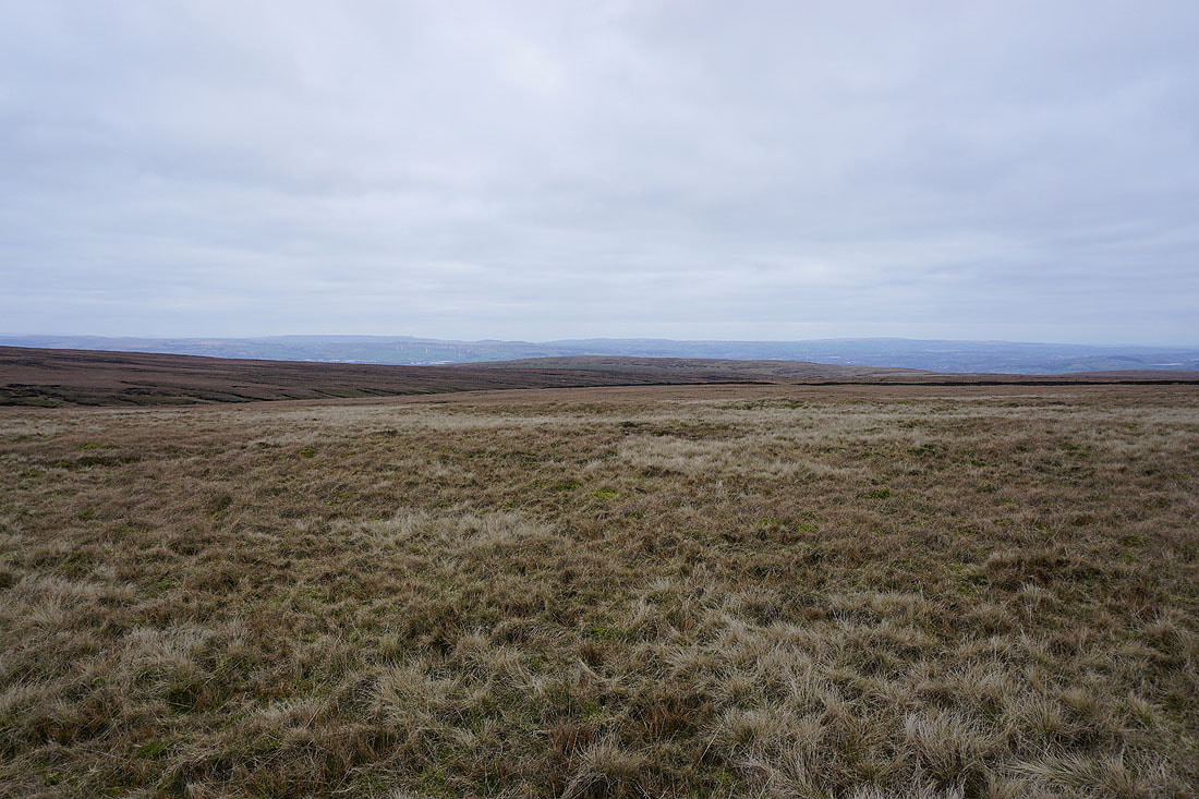
Twiston Moor, Rimington Moor, and Weets Hill from the eastern end of Downham Moor
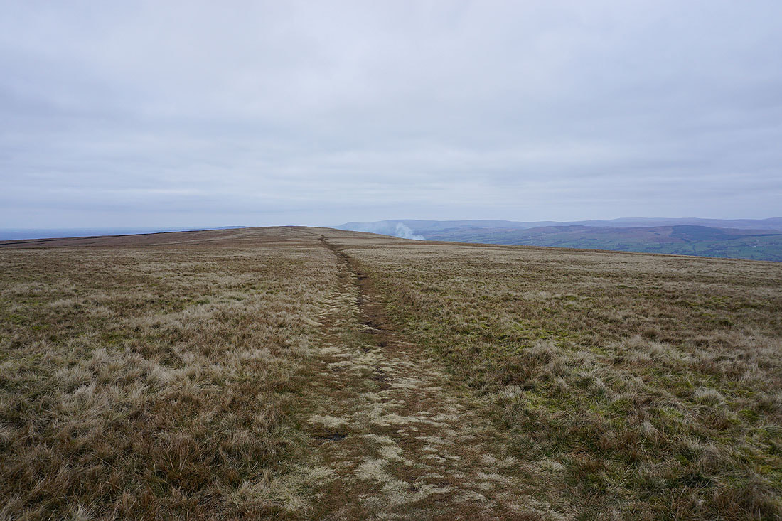
Heading west across Downham Moor
To my right, Ingleborough and Penyghent in the distance
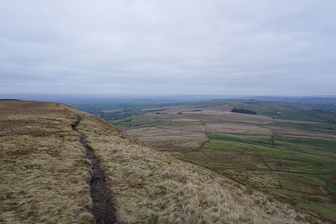
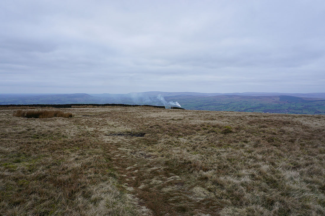
Looking back to the summit from Downham Moor
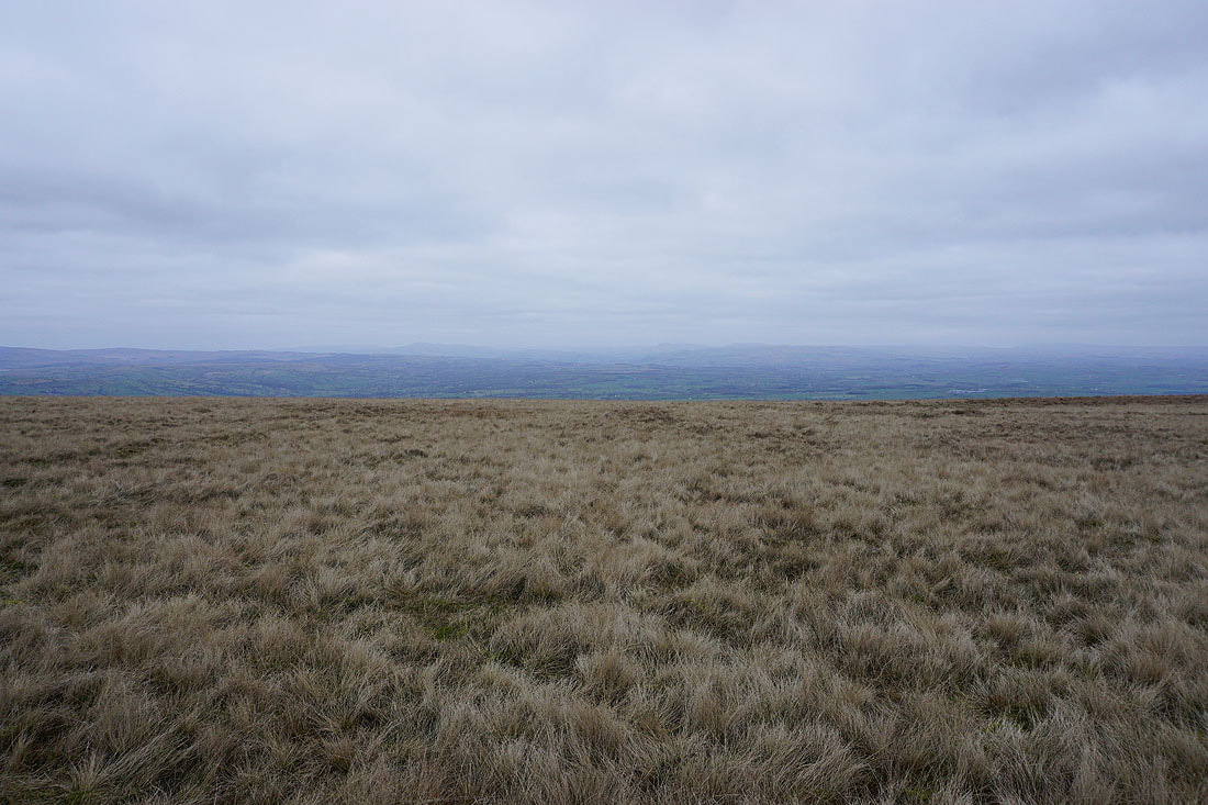
and across Spence Moor to the West Pennine Moors in the distance
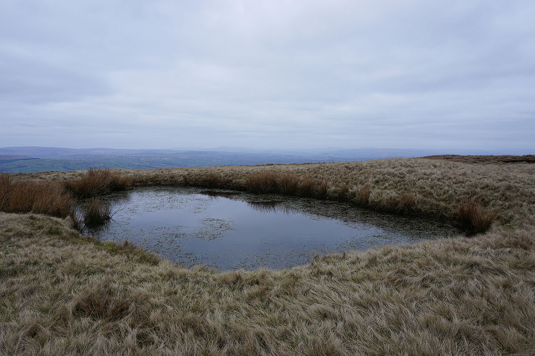
The pool on Downham Moor provides a foreground for a view to Ingleborough and Penyghent in the distance
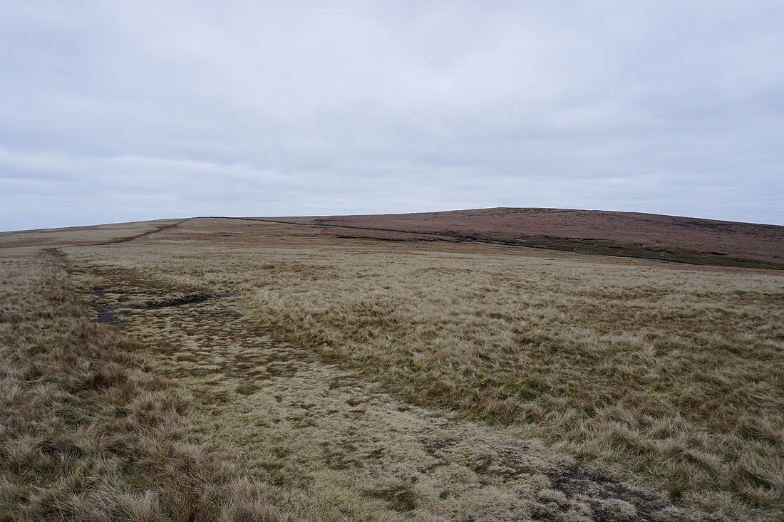
Heading for Worston Moor
and across Worston Moor to the circular shelter and the Scout cairn
Mearley Moor from the Scout Cairn
and the fells of the Forest of Bowland on the other side of the Ribble Valley
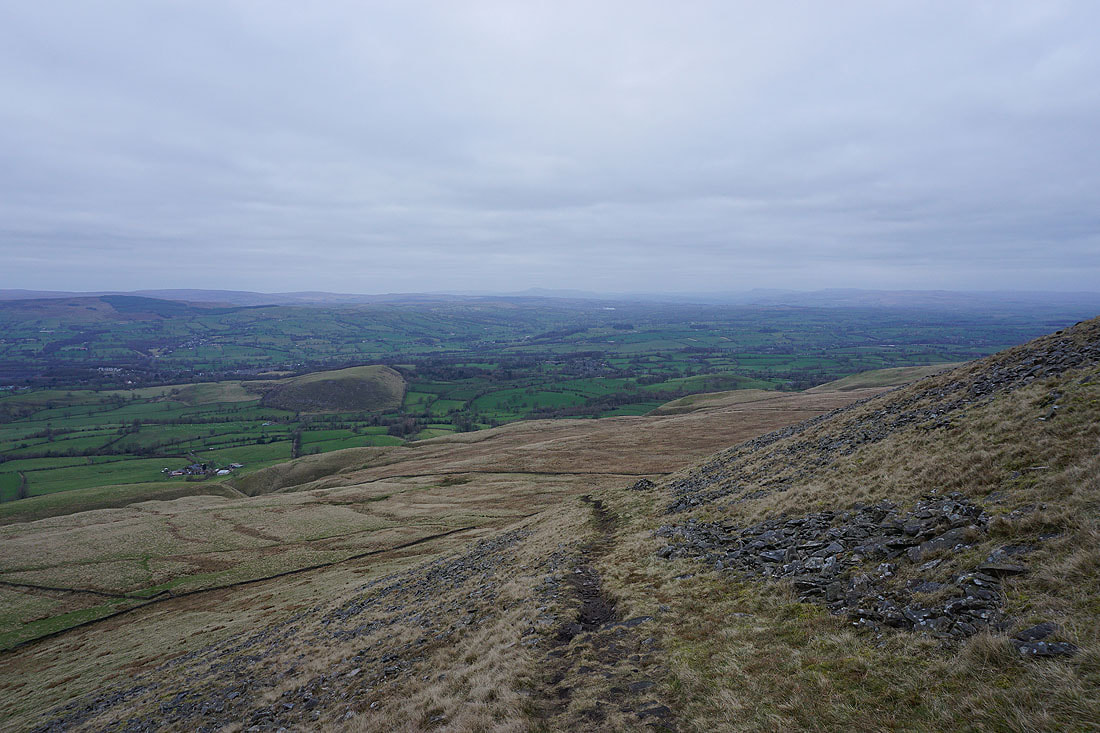
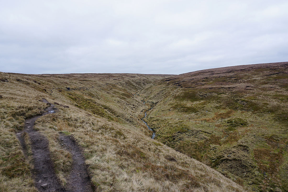
From the Scout Cairn I take the path down Worston Moor and by Burst Clough..
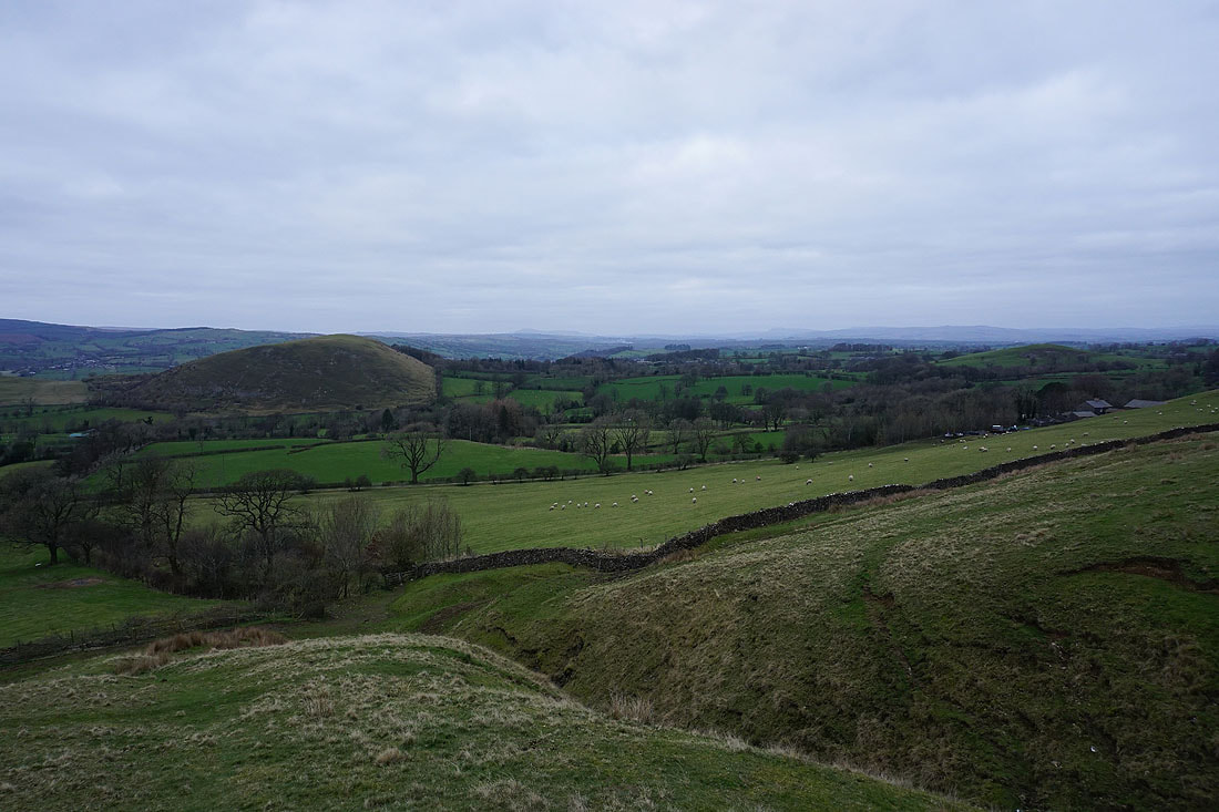
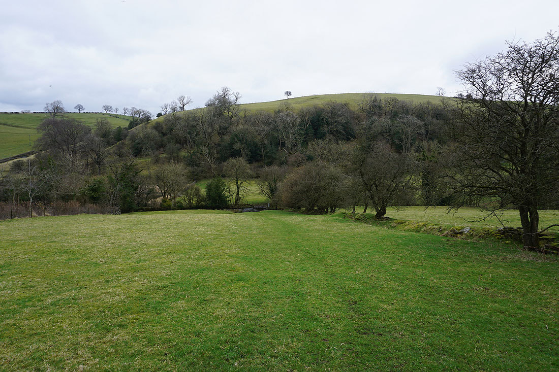
The limestone knoll of Worsaw Hill and the countryside around Downham below
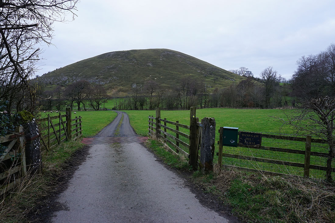
Worsaw Hill ahead as I take the footpath to Worsaw Hill Farm
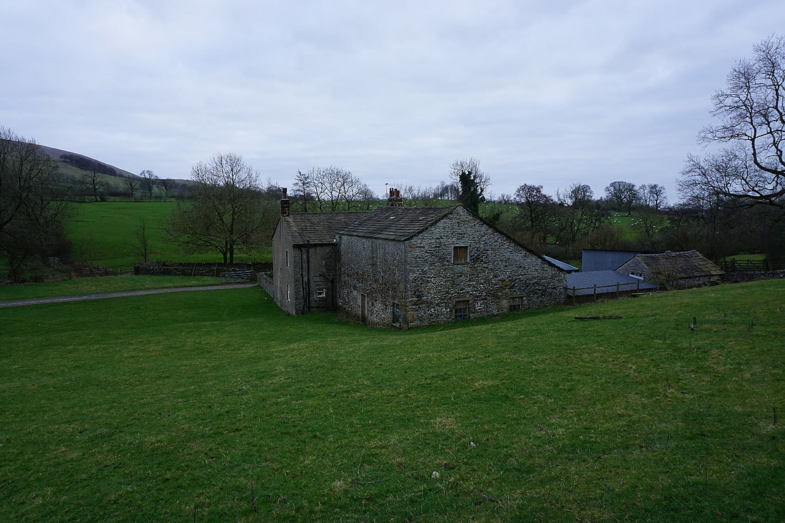
Worsaw Hill Farm
Pendle Hill from the footpath back to Downham
Back in Downham