3rd May 2014 - Cave Dale & the Great Ridge
Walk Details
Distance walked: 9.2 miles
Total ascent: 1921 ft
OS map used: OL1 - The Peak District, Dark Peak area
Time taken: 6 hrs
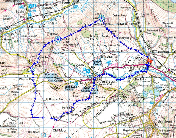
Route description: Hope-Castleton-Cave Dale-Limestone Way-Windy Knoll-Mam Tor-Barker Bank-Back Tor-Lose Hill-Hope
A beautiful spring day for this walk in the Peak District with my Dad.
From Hope we followed the footpath to Castleton. We then continued on the Limestone Way into Cave Dale and at the top of Cave Dale before taking a path across the moorland to Windy Knoll. After crossing a road we climbed to the top of Mam Tor. The walk along the Great Ridge across the tops of Barker Bank, Back Tor and Lose Hill was done before heading back down to Hope.
Route map
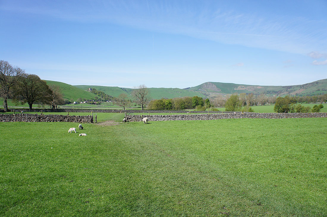
It's a beautiful morning as we head up the Hope Valley from Hope to Castleton
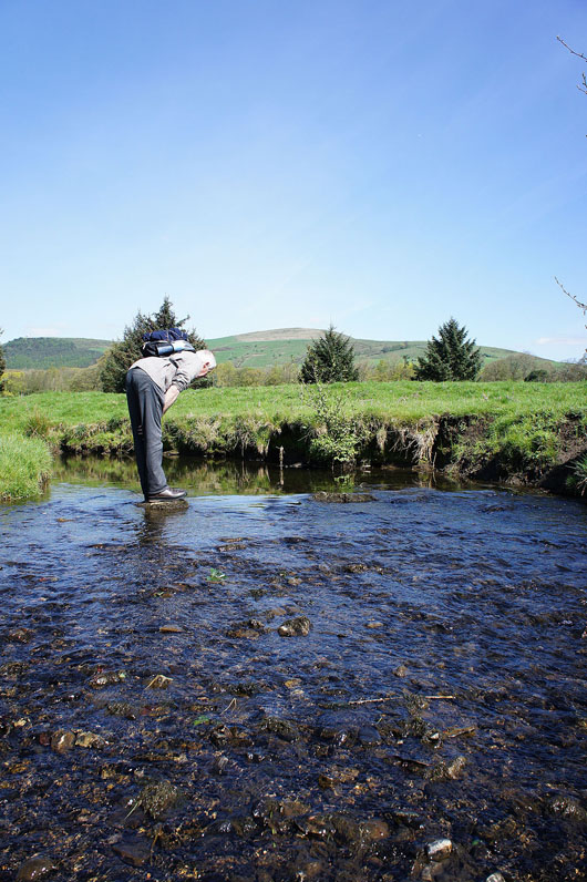
Go on Dad, get your boots wet
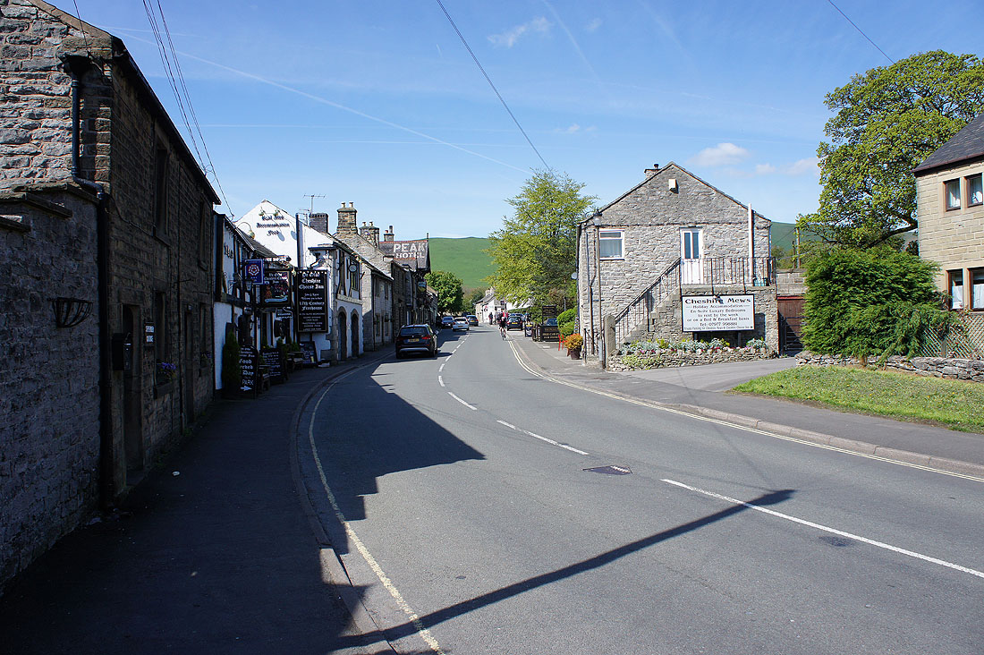
11 o'clock on a Saturday morning and it's still quiet in Castleton
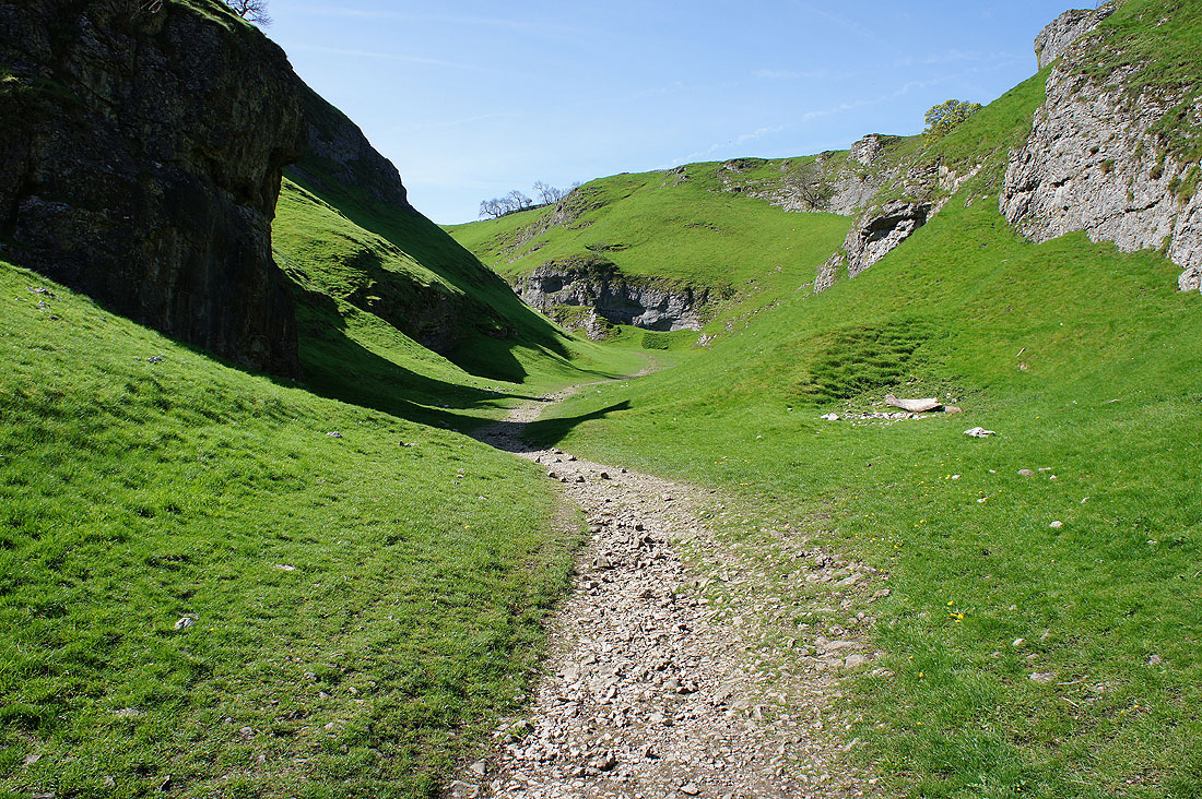
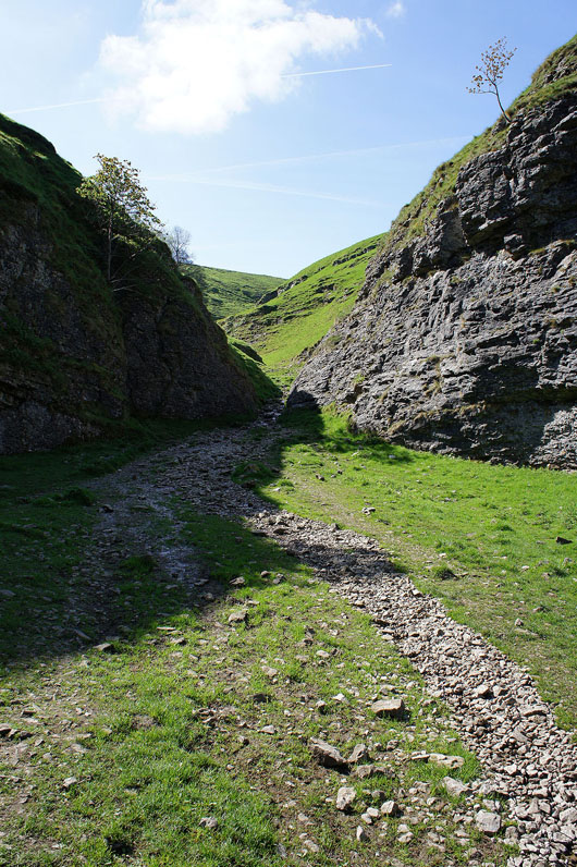
From Castleton we join the start of the Limestone Way and head into the valley of Cave Dale..
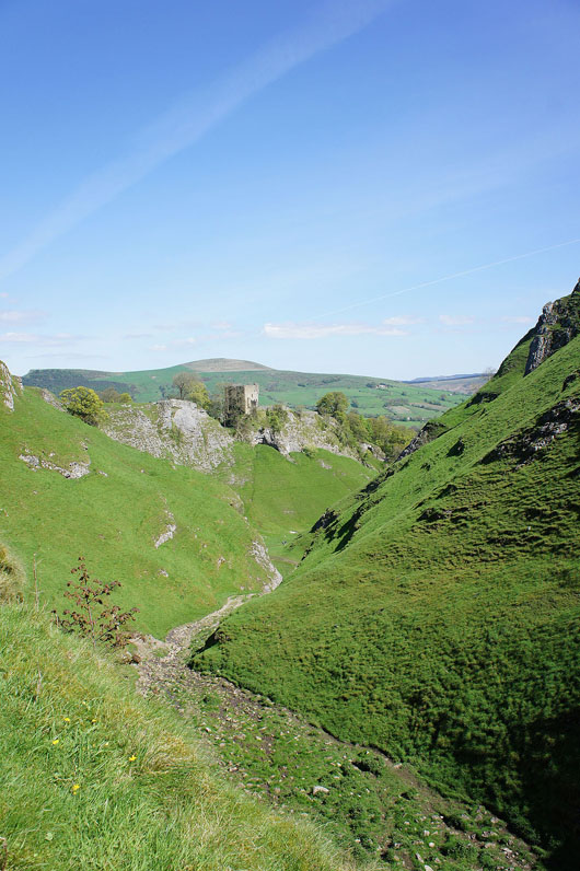
Looking back down at the ruins of Peveril Castle
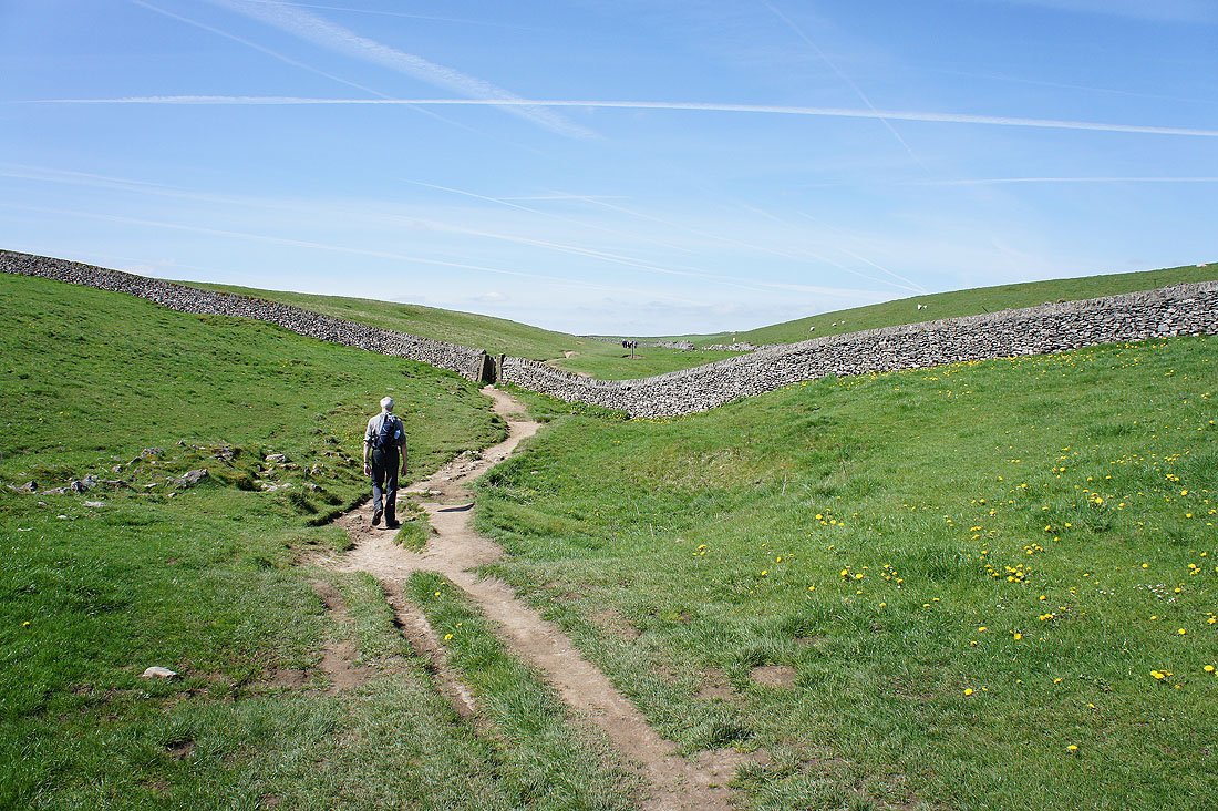
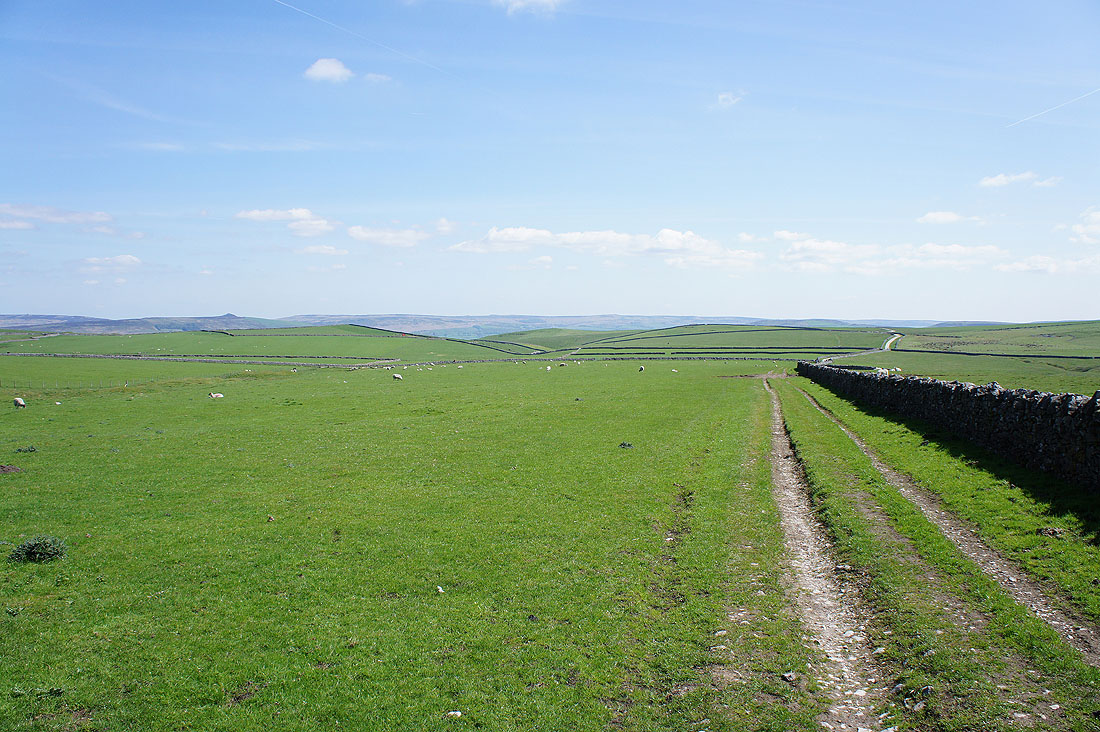
At the top of Cave Dale and onto the limestone moors of the White Peak
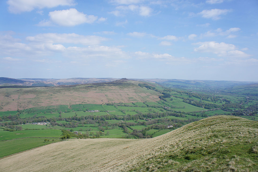
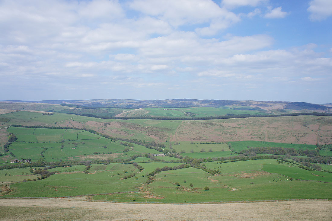
A great view back across limestone moors towards Win Hill and Stanage Edge
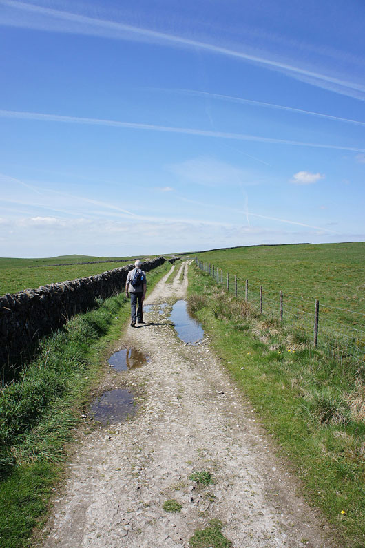
A track takes us across the moors
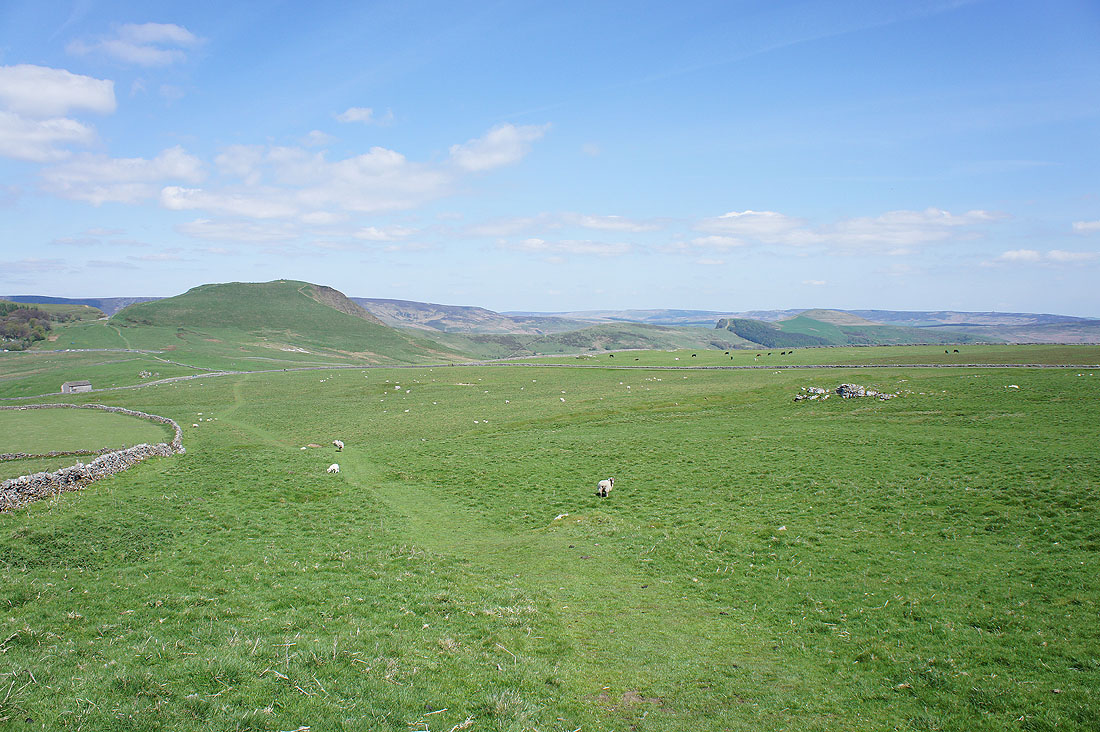
Mam Tor and the Great Ridge come into view. I can see that the top of Mam Tor is very busy so we'll have our lunch here before continuing.
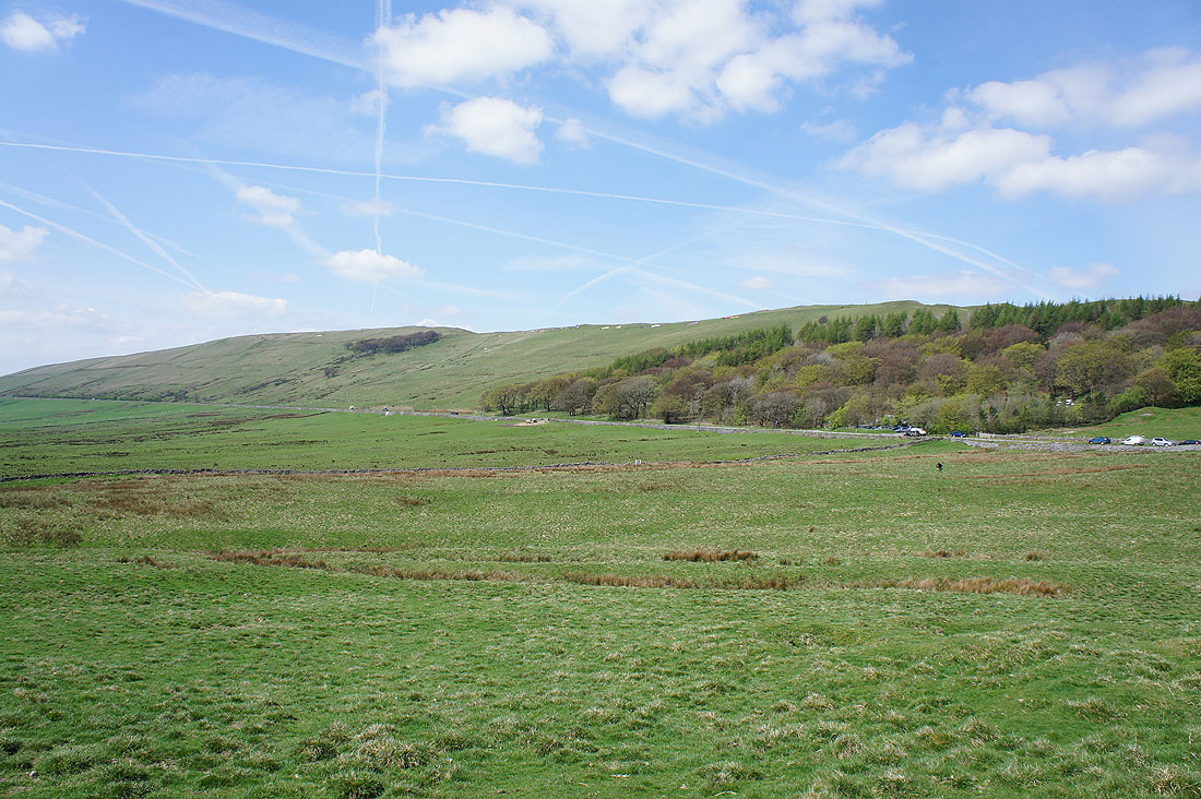
The patches of white on the hillside of Rushup Edge are paragliders setting up. You might spot the odd one in the following photos.
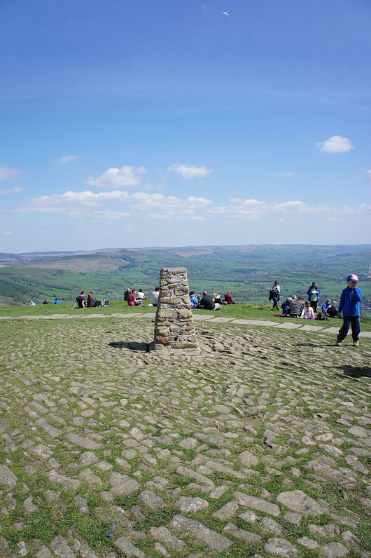
The trig point that marks the summit of Mam Tor and it's briefly unoccupied on this busy day
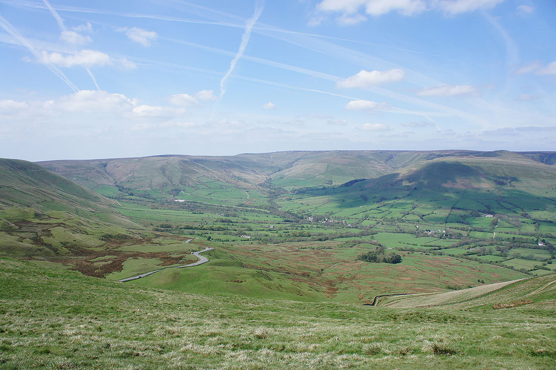
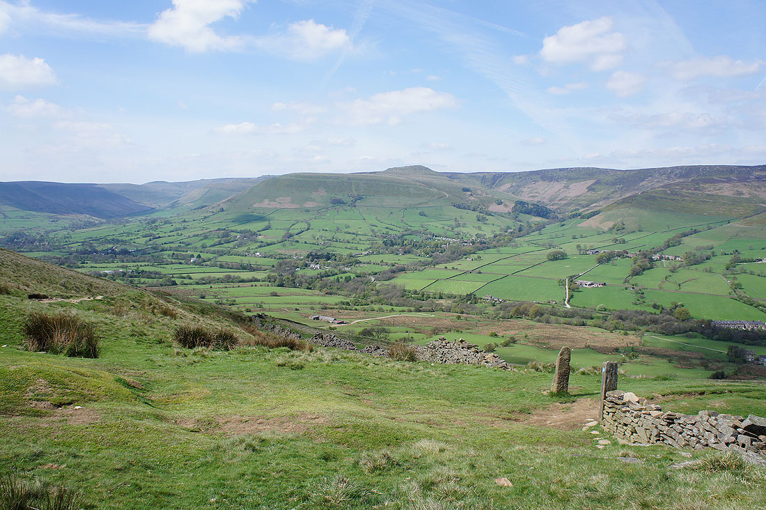
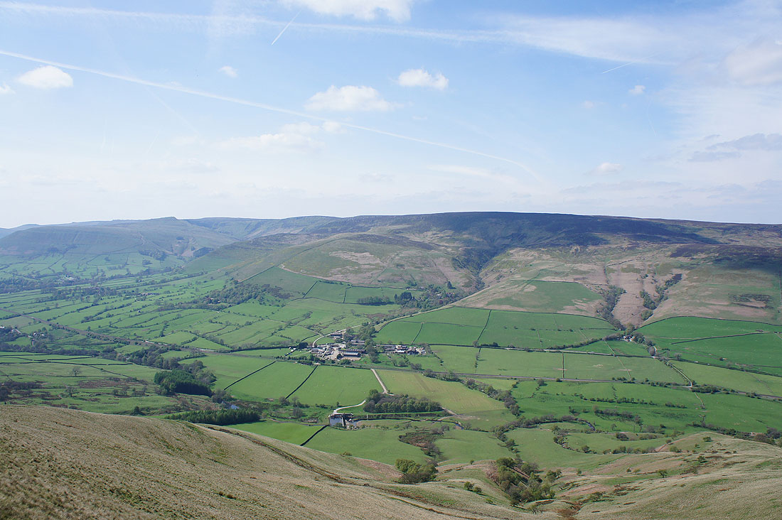
Some photos of the view from Mam Tor. The head of Edale and Kinder Scout.
The hill of Lord's Seat
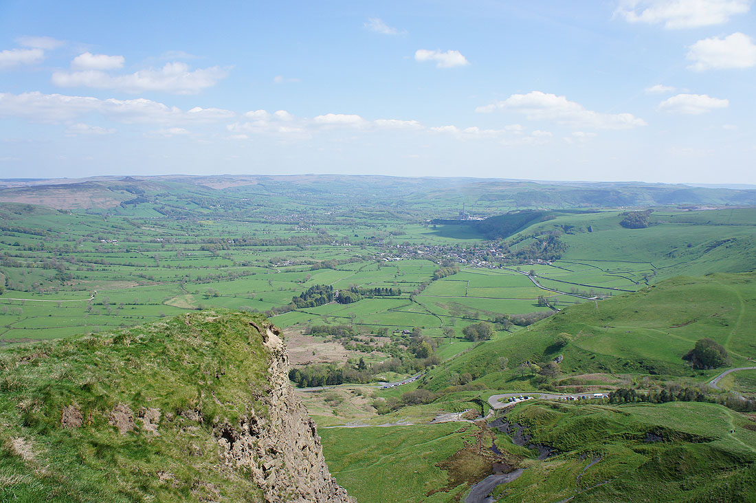
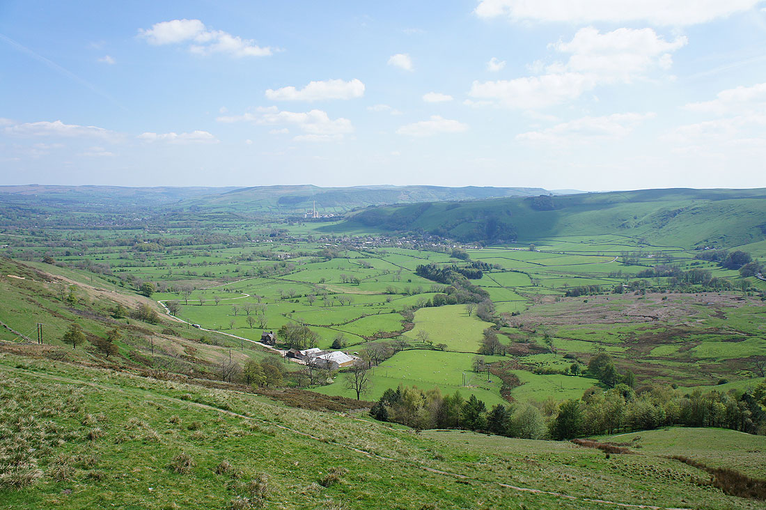
The Hope Valley from the top of the landslip on the eastern side of the hill
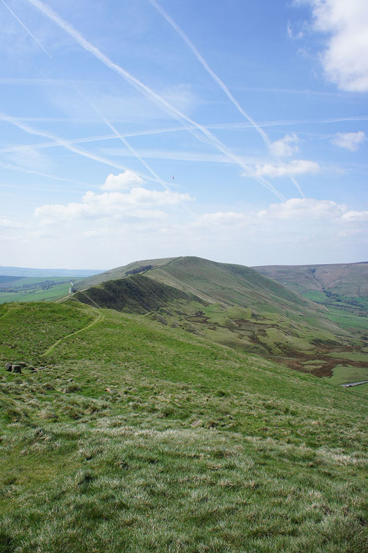
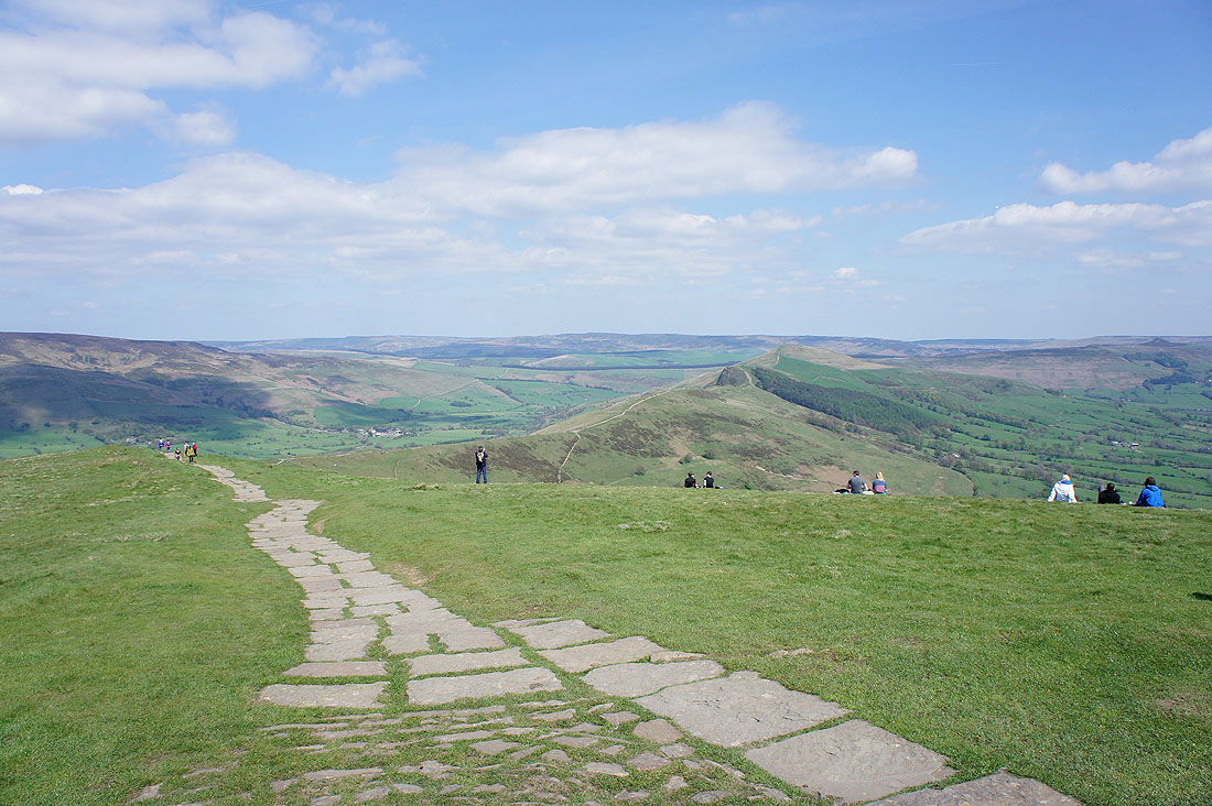
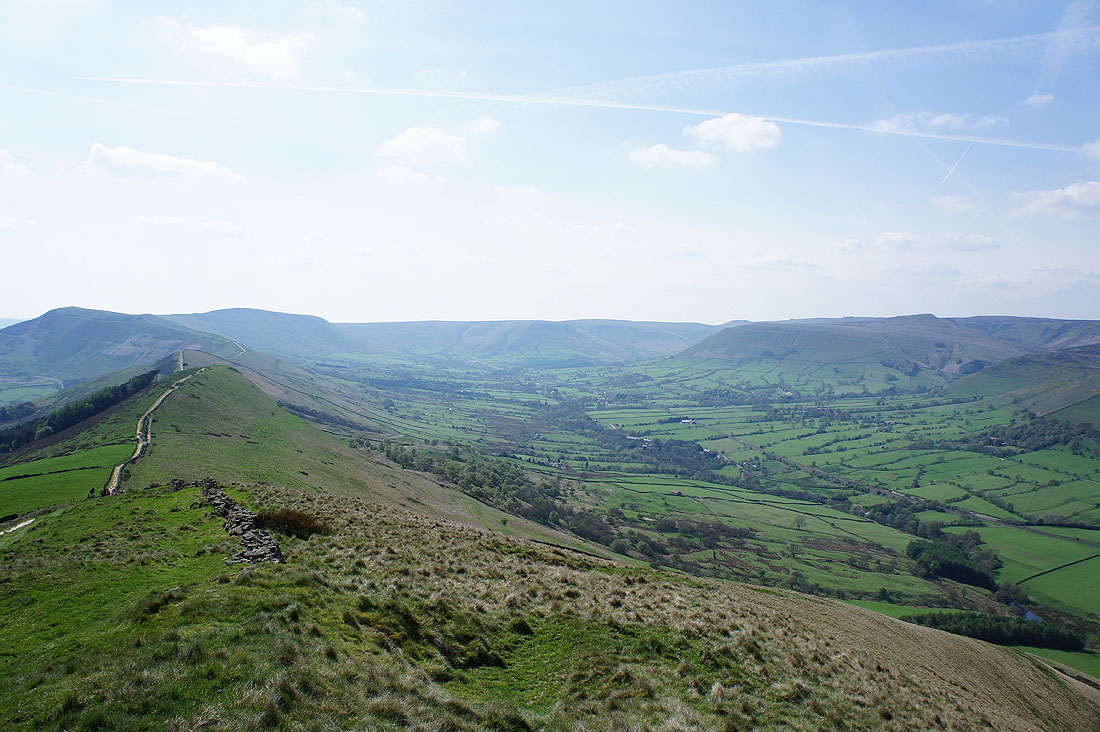
Looking along the Great Ridge to Lose Hill, which is where we're heading
Grindslow Knoll and Edale from Hollins Cross
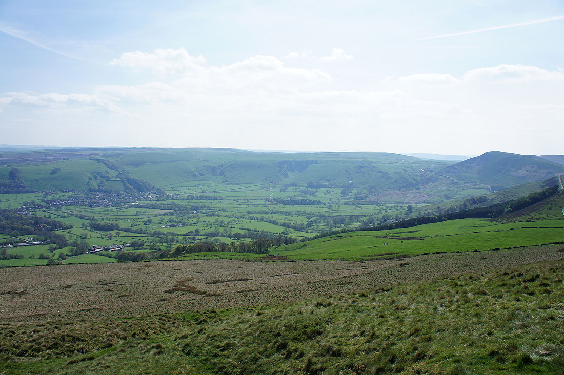
and the Hope Valley and Castleton
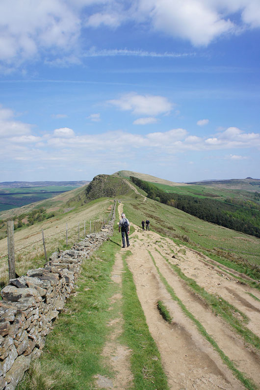
Continuing along Barker Bank to Back Tor
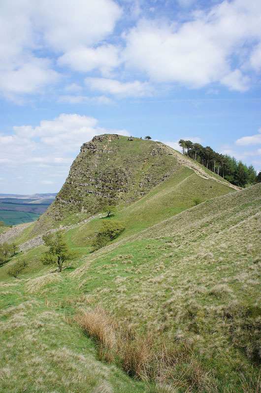
Back Tor
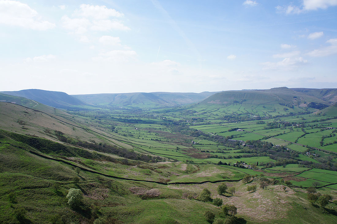
The Vale of Edale from Back Tor
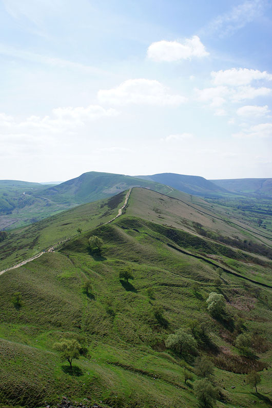
Barker Bank, Mam Tor and Lord's Seat
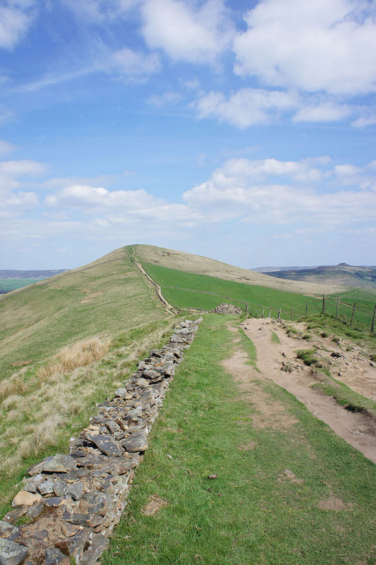
Onwards to Lose Hill
The Vale of Edale from Lose Hill
The southern slopes of Kinder Scout
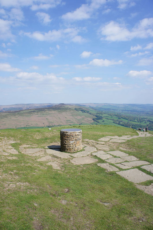
The toposcope on Lose Hill
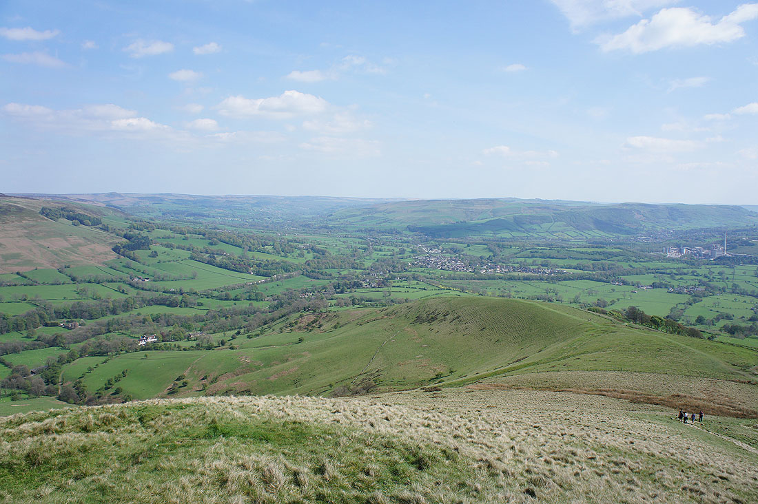
The head of the Hope Valley and Mam Tor
Win Hill with the moorland of Stanage Edge in the distance
Back Tor and Derwent Edge beyond Bridge-end Pasture
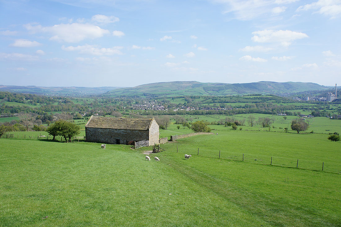
Hope is in sight as we head down the south side of the hill..
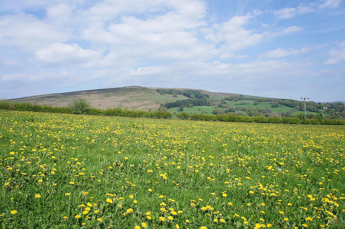
I don't think I'd be pleased to see this many dandelions in my lawn but change the setting
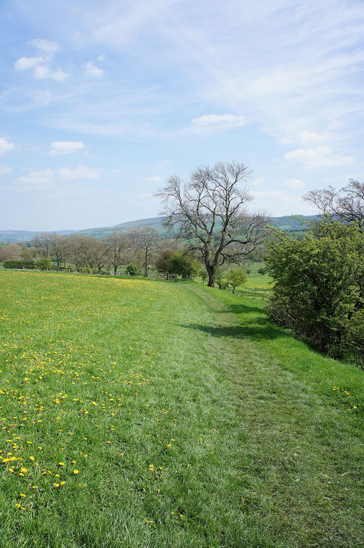
A few fields to cross and we'll be back in Hope
